
Valafjellet and Åsknappen (25.03.2023)

Skrevet av hbar (Harald Barsnes)

| Startsted | Starten av Oppheimsdalen (355moh) |
|---|---|
| Sluttsted | Starten av Oppheimsdalen (355moh) |
| Turtype | Fjellskitur |
| Turlengde | 4t 42min |
| Distanse | 16,8km |
| Høydemeter | 990m |
| GPS |
|
| Bestigninger | Valafjellet (1161moh) | 25.03.2023 |
|---|---|---|
| Åsknappen (846moh) | 25.03.2023 | |
| Andre besøkte PBE'er | Oppheimsdalsvegen (354moh) | 25.03.2023 |
Valafjellet and Åsknappen
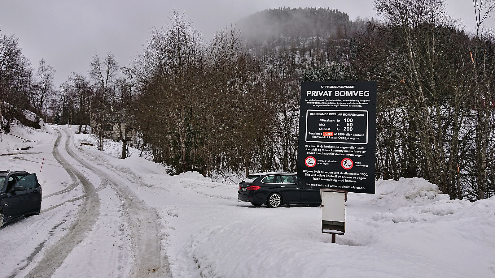
For my first trip with petter (Petter Bjørstad) in over half a year, we settled on two summits north of Oppheimsvatnet: Valafjellet and Åsknappen. We had hoped to gain some elevation by driving up the toll road in Oppheimsdalen, but when all of the parking lots early on were marked as private (also confirmed by a local driving a tractor), we abandoned this plan and returned to the start of the toll road where there was room for a couple of cars outside of the private parking areas.
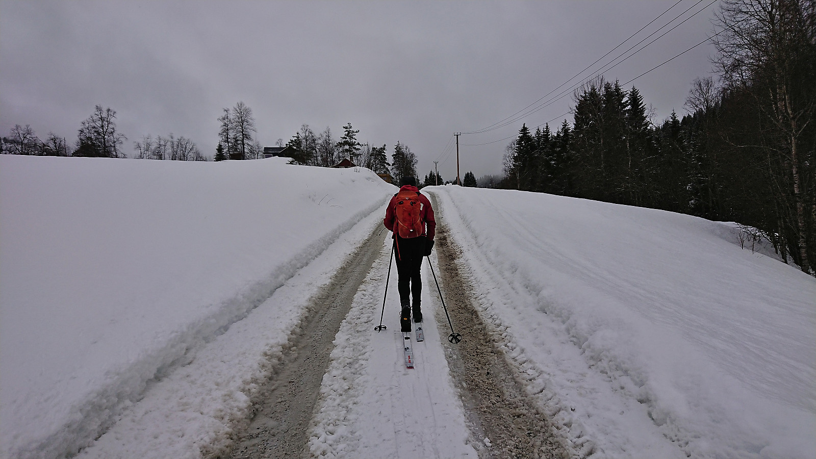
Here we put on the climbing skins and started skiing directly from the car. We quickly realized that we would not have been able to drive much further anyway, as the road was soon covered by more snow than we would have been able to drive through.
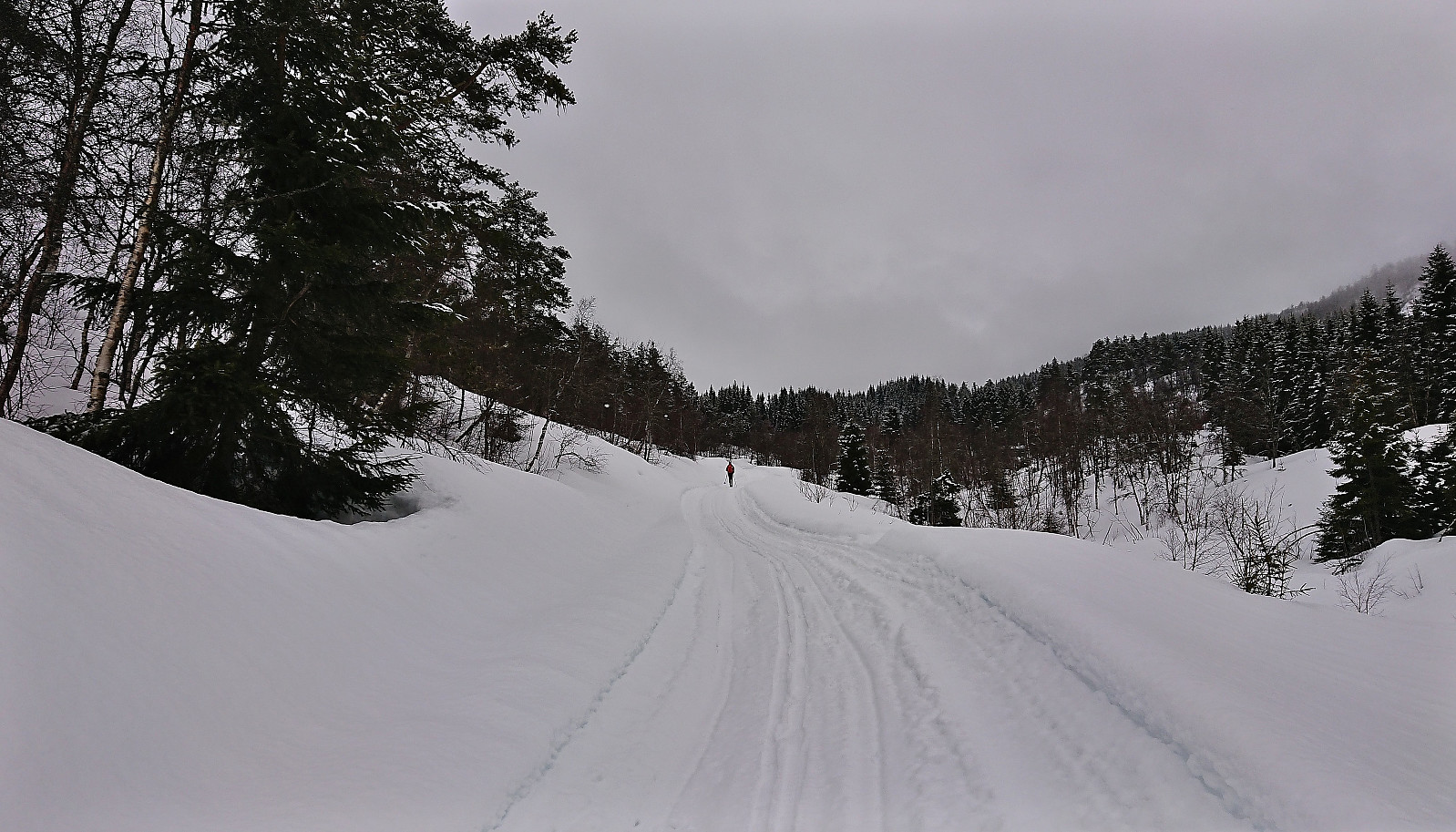
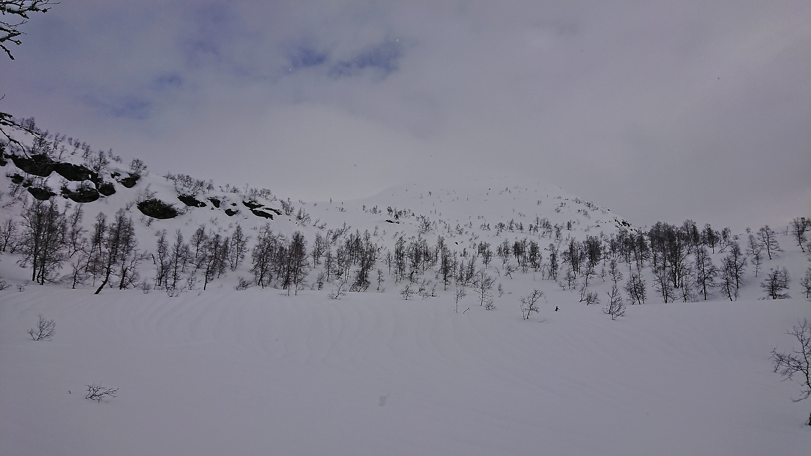
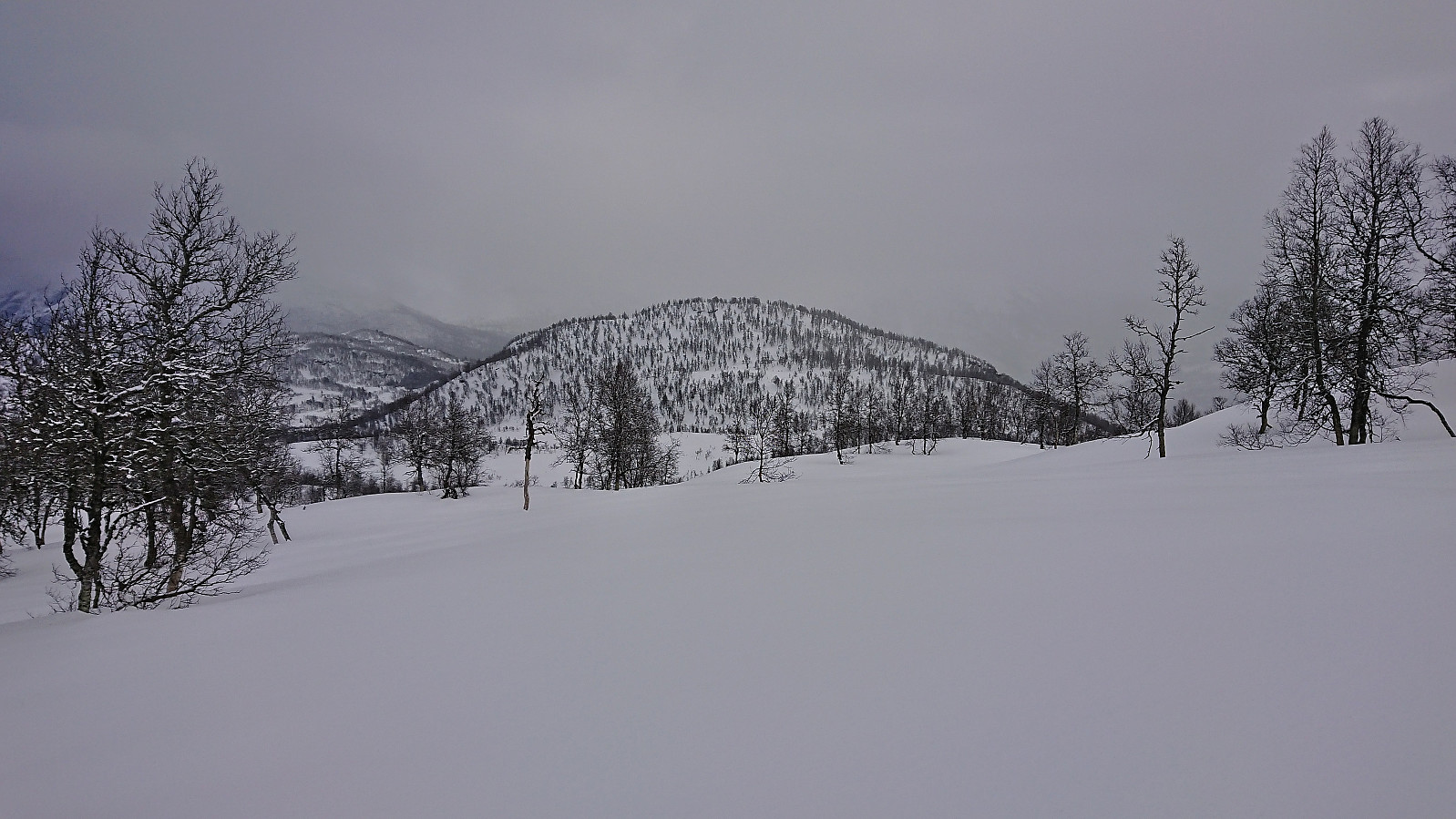
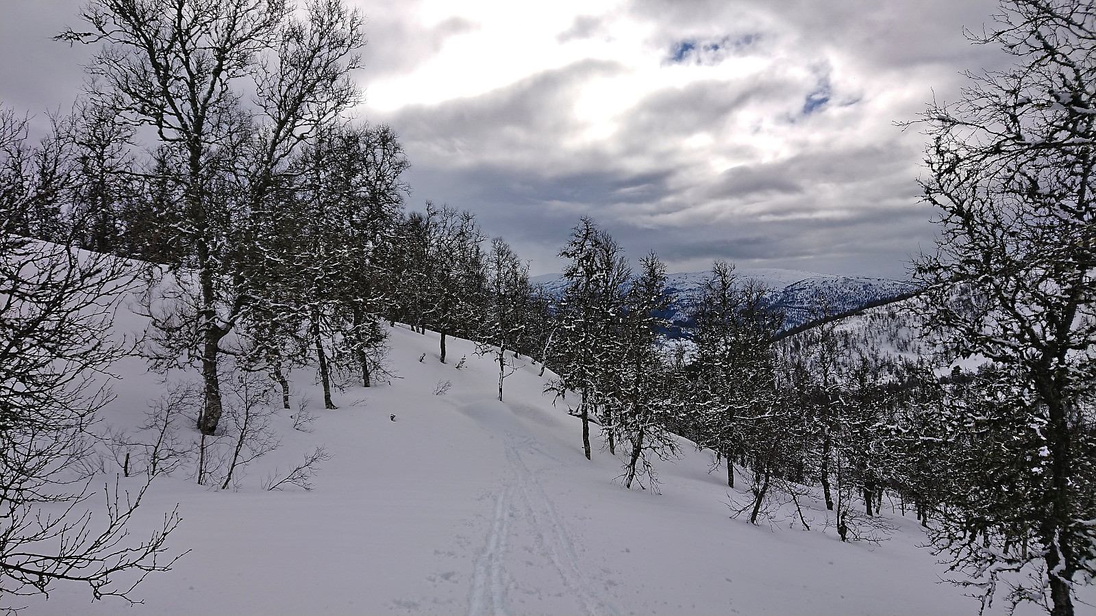
When the road forked right for the third time, we left the road up Oppheimsdalen and turned east, following another road until getting to Gryteelvi. We then left the road behind and continued northeast alongside the snow-covered stream. Initially there were some relatively fresh ski tracks (probably from the day before), but as we got closer to the real ascent to Valafjellet we were left to ourselves and had to break our own trail.
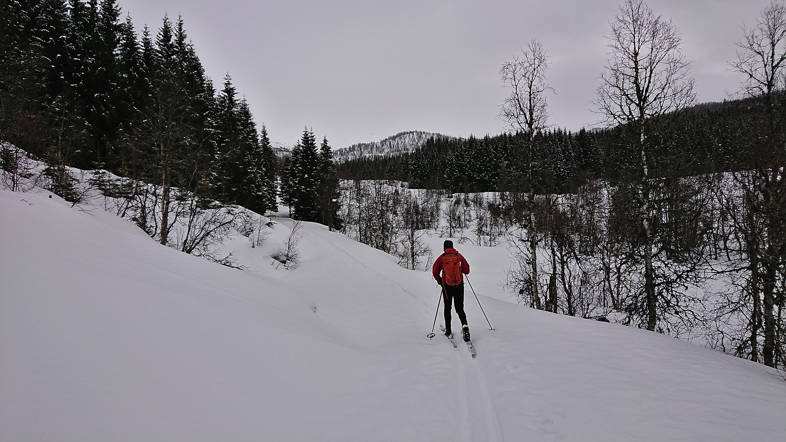
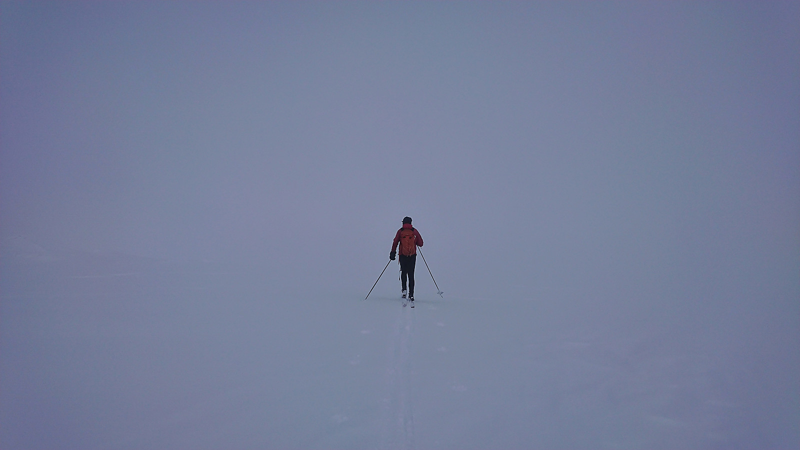
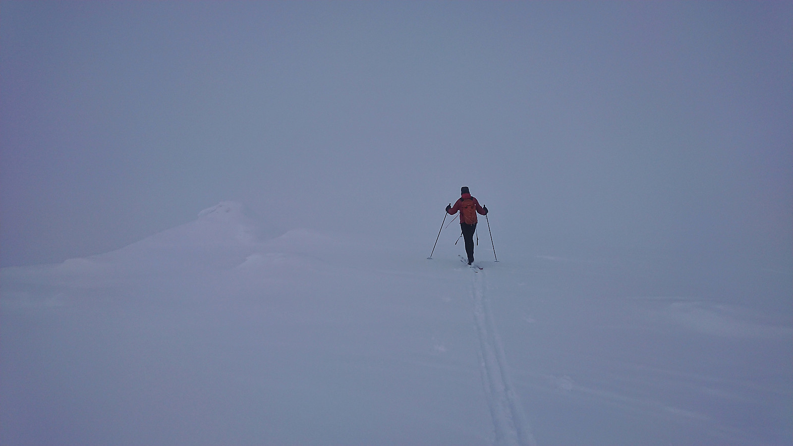
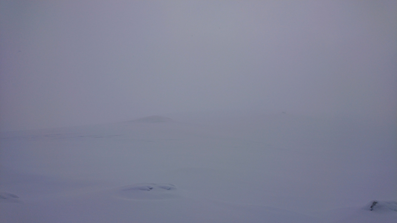
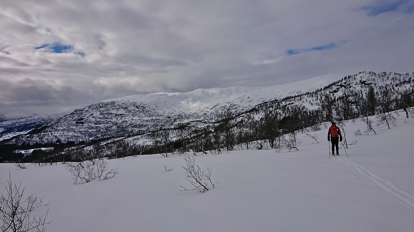
After a short steep, but completely safe, ascent, the terrain turned slightly less steep and from there on there were no difficult sections to travers. The thickening fog however drastically lowered the visibility and we had to confer with the GPS on several occasions to make sure that we were on the right track. But overall, the summit was reached without any real issues.
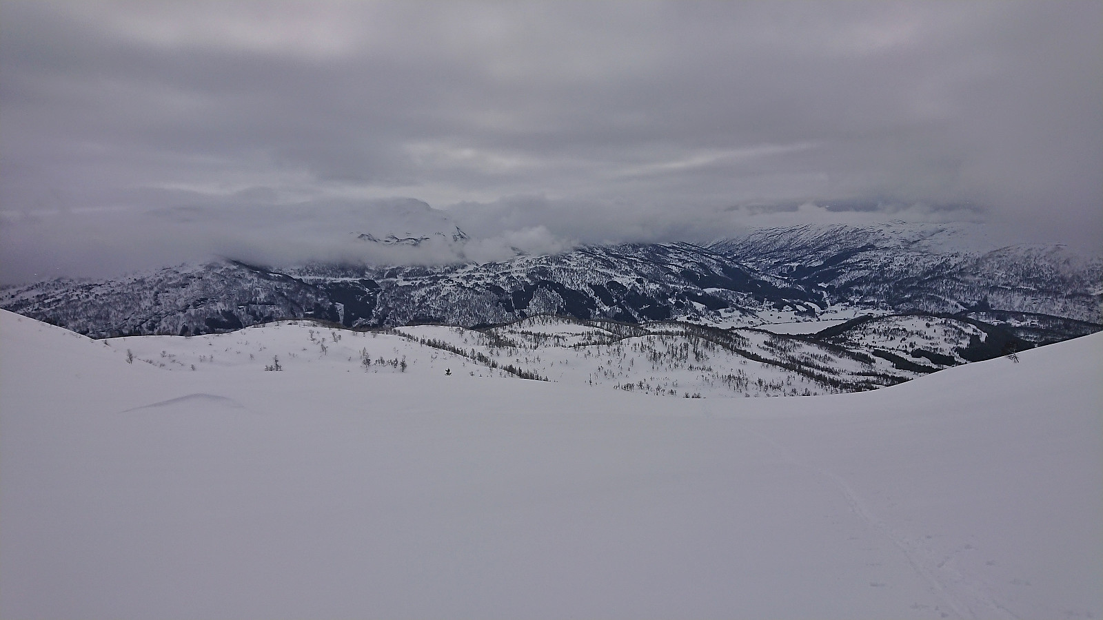
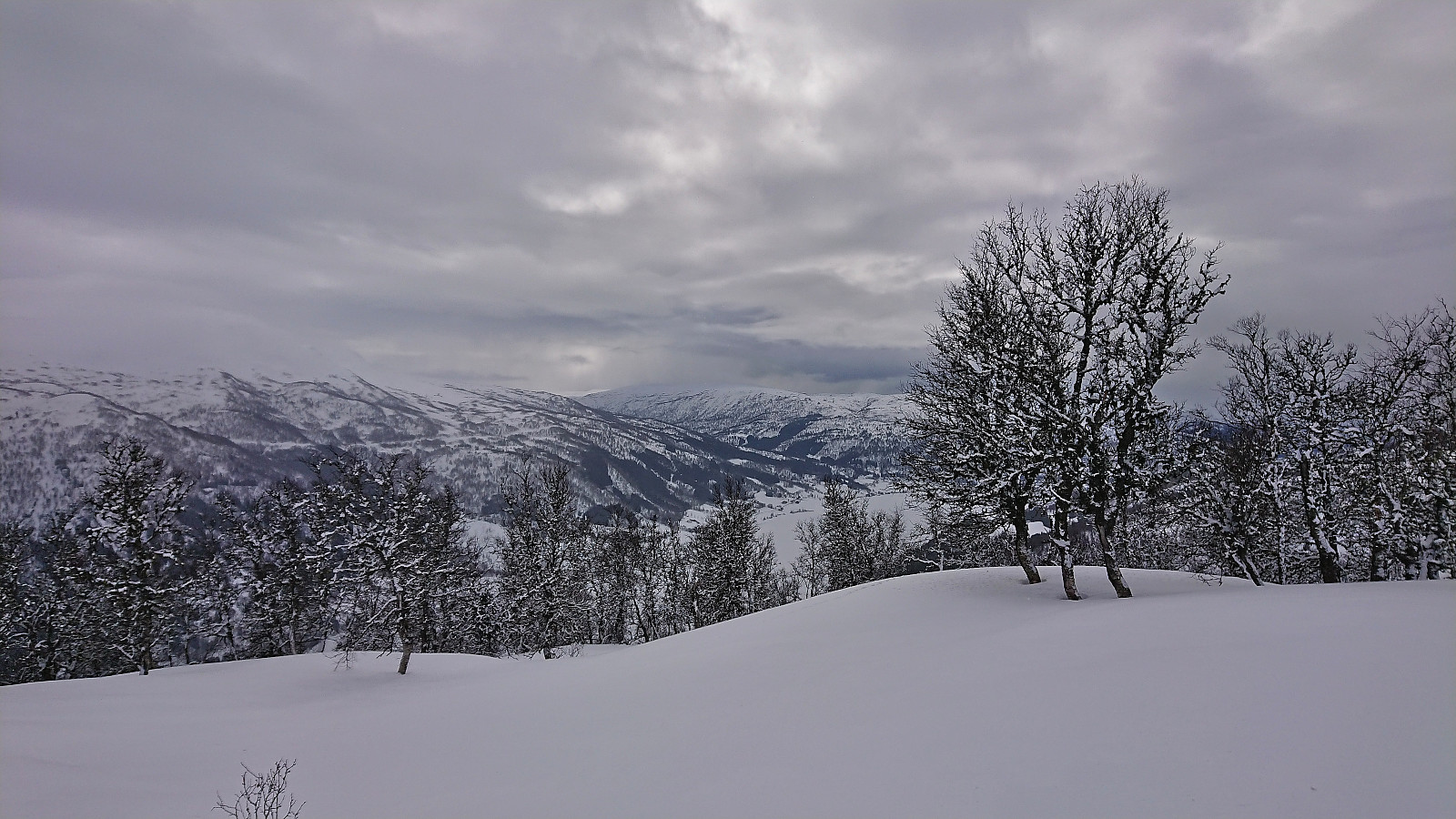
Due to the very limited views, we did not stay long at the summit, and instead removed the climbing skins and did our best to follow our own tracks back down. The poor visibility, combined with the top layer of snow being quite heavy, did not make for the most elegant descent, but by taking it slow it did not take too long before we were below the fog and could turn our attention to Åsknappen.
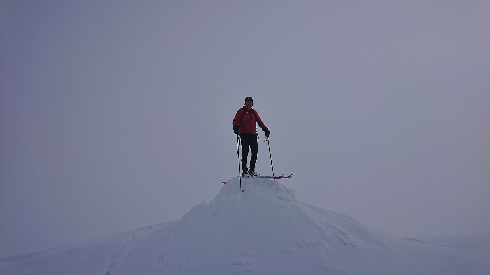
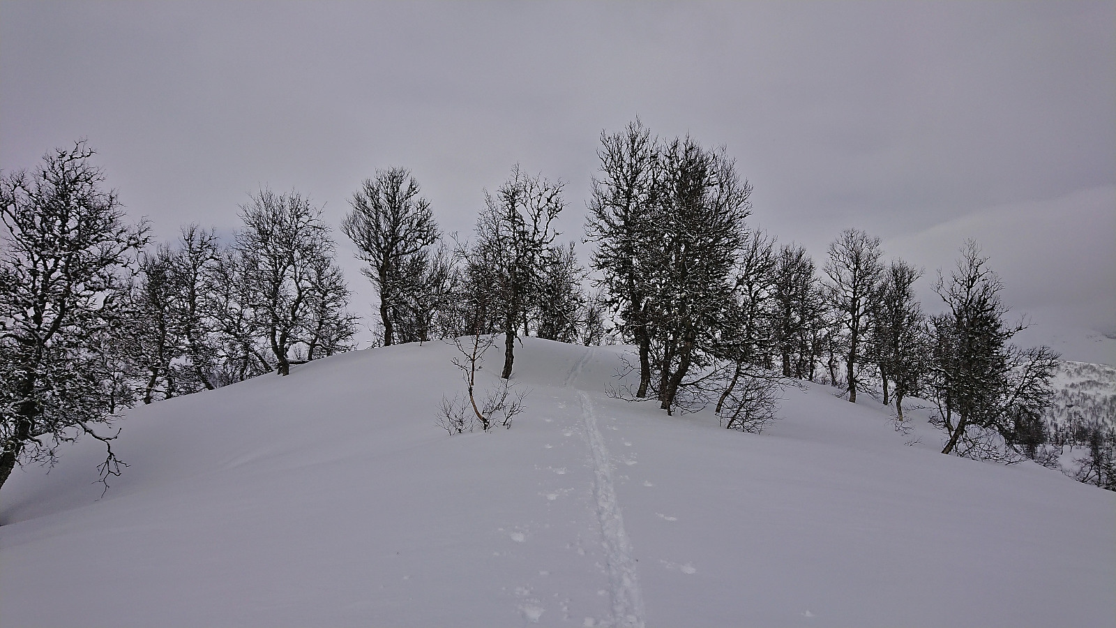
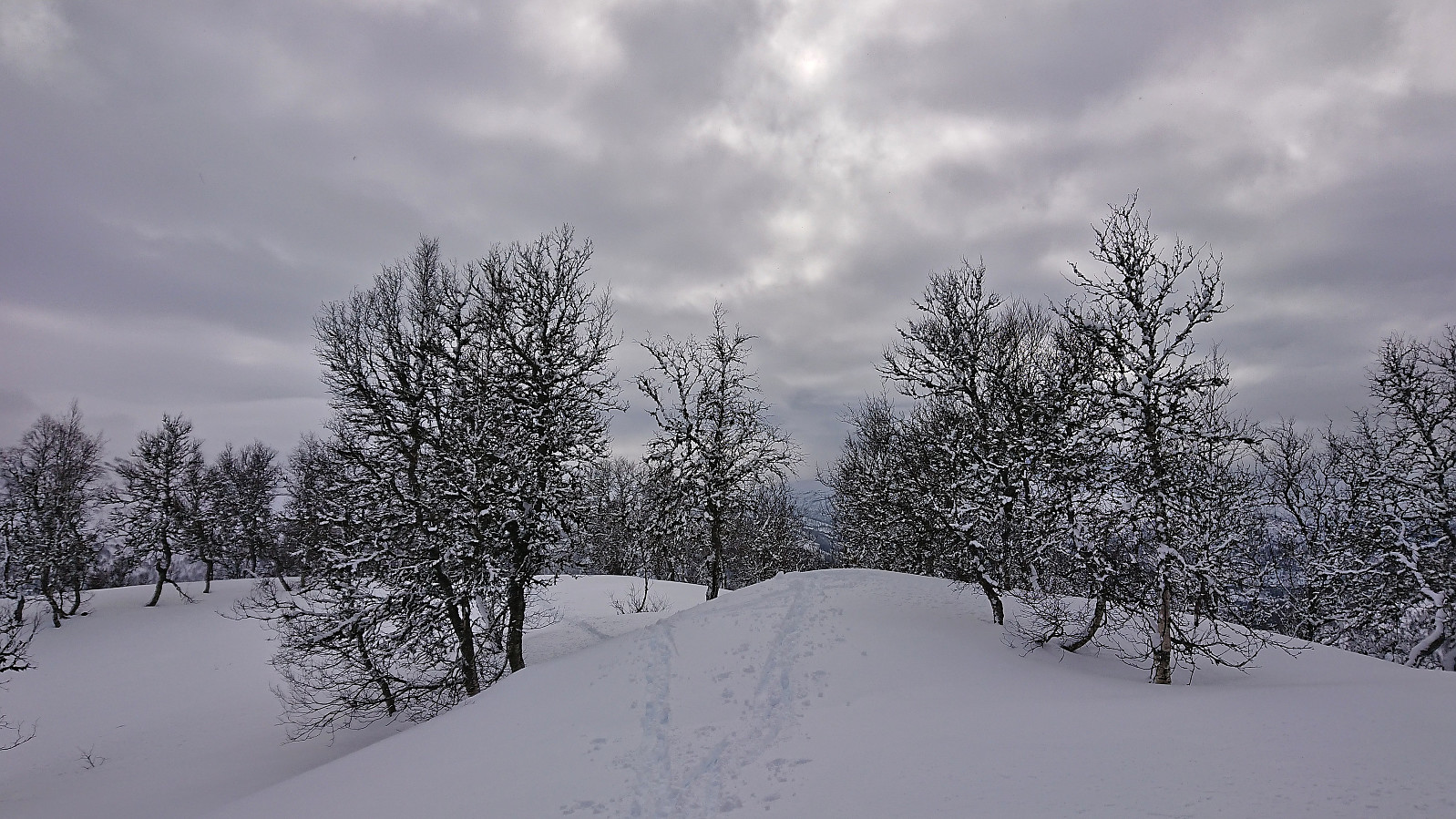
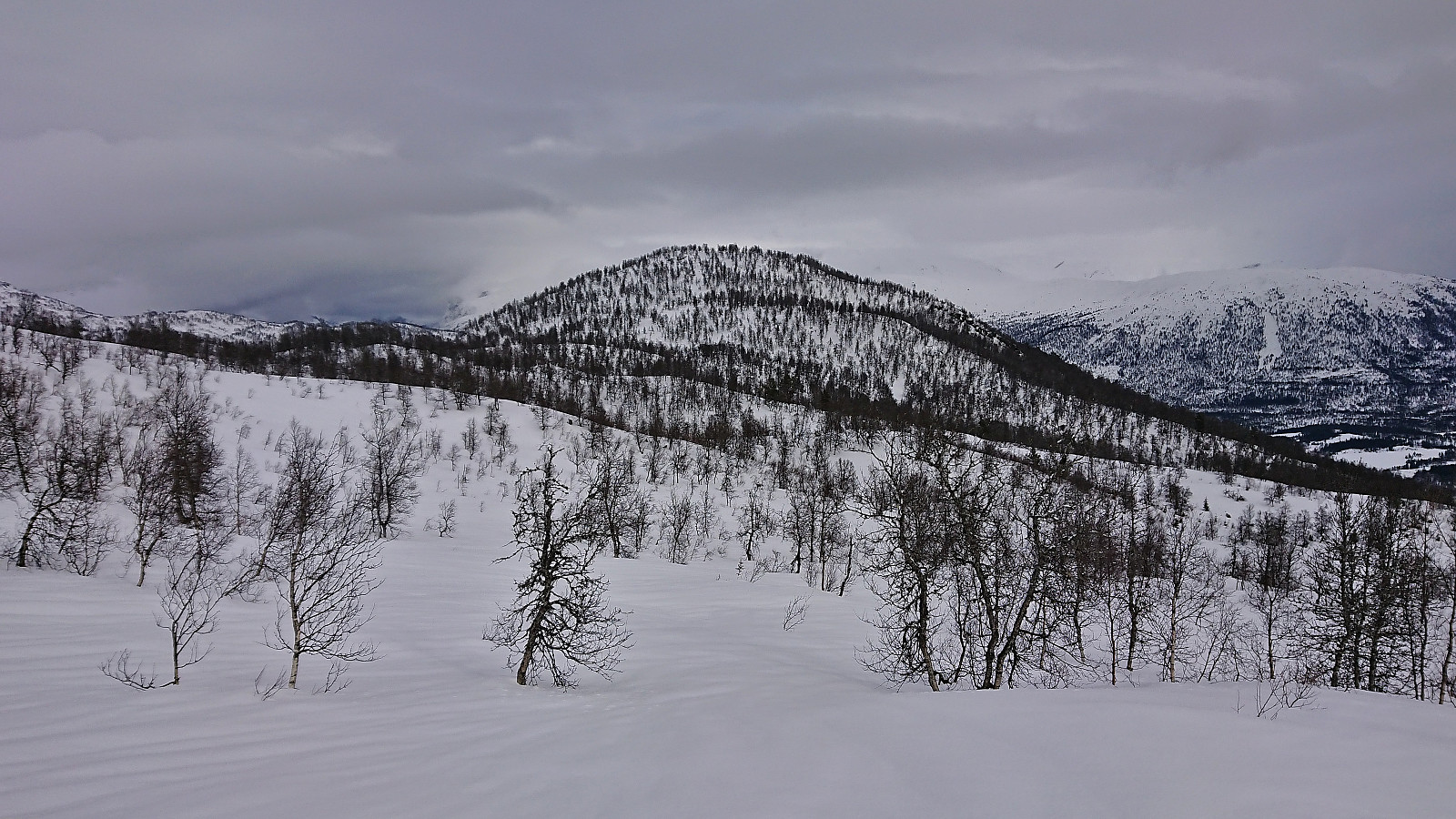
After safely traversing the final short steep descent from Valafjellet, we did not have to ski far before spotting Åsknappen to the east/southeast, and could enjoy a nice easy descent into the valley east of the summit. From there it was only a short steep ascent to the summit, which consisted of two contenders for the highest point less than 10 meters apart. We of course simply visited both before turning around and descending along the same route as used for the ascent.
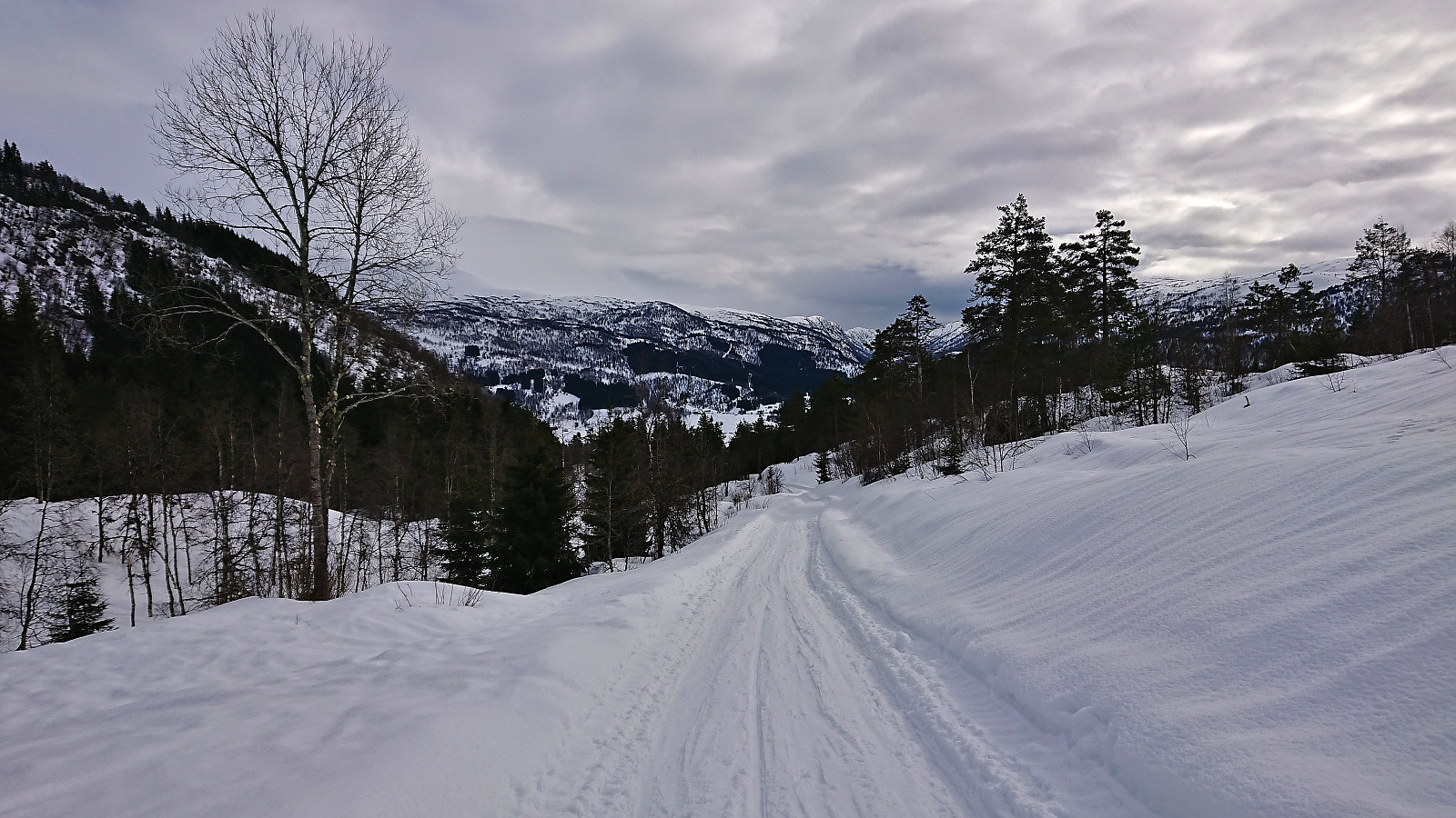
All that remained was then to find a way to return to Gryteelvi and connect with our ascent tracks. This was all straightforward and we were soon back on the road, and we could keep the skis on almost until reaching the car.
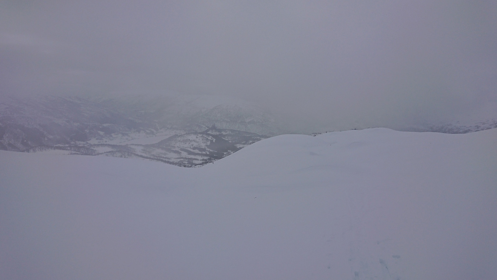
In summary, a very nice skiing trip that is probably even more enjoyable in better visibility, as today we only got the occasional glimpses of the views that we could have had.
| Starttidspunkt | 25.03.2023 10:19 (UTC+01:00) |
| Sluttidspunkt | 25.03.2023 15:00 (UTC+01:00) |
| Totaltid | 4t 42min |
| Bevegelsestid | 4t 10min |
| Pausetid | 0t 31min |
| Snittfart totalt | 3,6km/t |
| Snittfart bevegelsestid | 4,0km/t |
| Distanse | 16,8km |
| Høydemeter | 990m |


User comments