
Nesbjørghovda from Stussvikhovdatunnelen (18.03.2023)

Geschrieben von hbar (Harald Barsnes)

| Startpunkt | Stussvikhovda snuplass (60m) |
|---|---|
| Endpunkt | Stussvikhovda snuplass (60m) |
| Tourcharakter | Bergtour |
| Tourlänge | 3h 10min |
| Entfernung | 8,3km |
| Höhenmeter | 348m |
| GPS |
|
| Besteigungen | Nesbjørghovda (345m) | 18.03.2023 |
|---|---|---|
| Besuche anderer PBE | Stussvikhovda snuplass (60m) | 18.03.2023 |
Nesbjørghovda from Stussvikhovdatunnelen
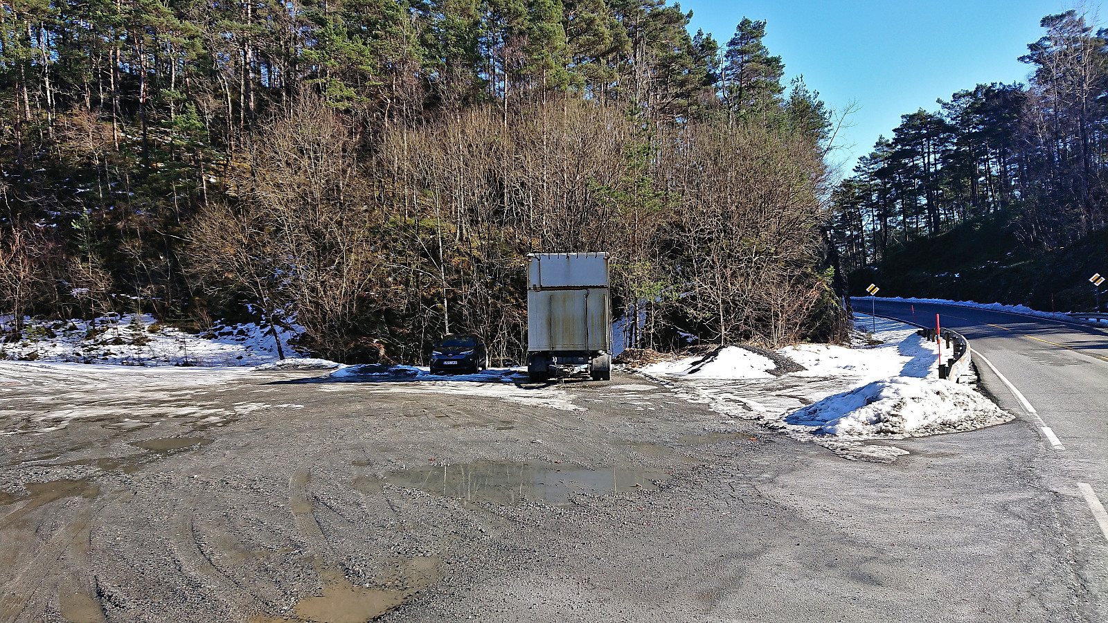
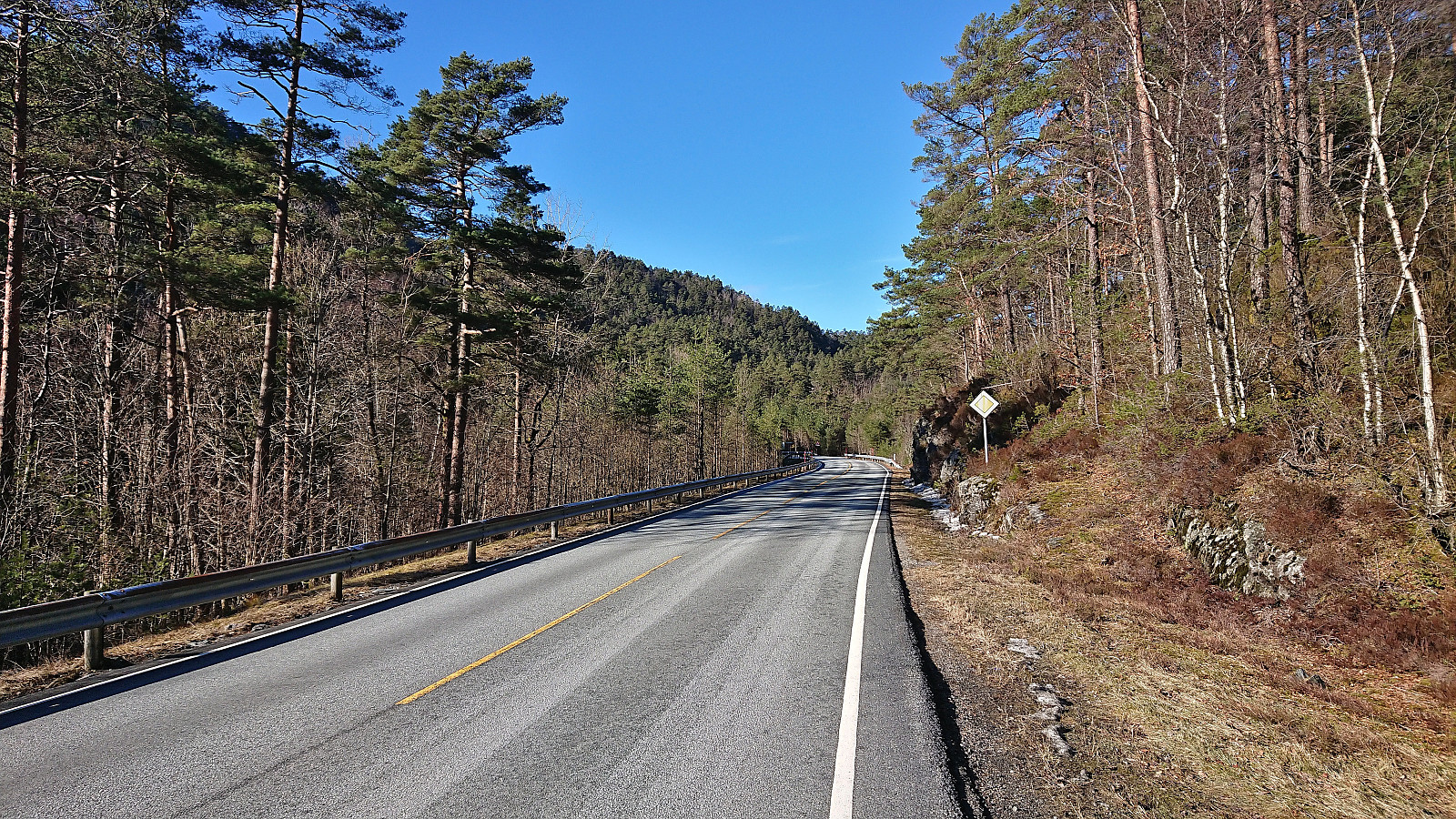
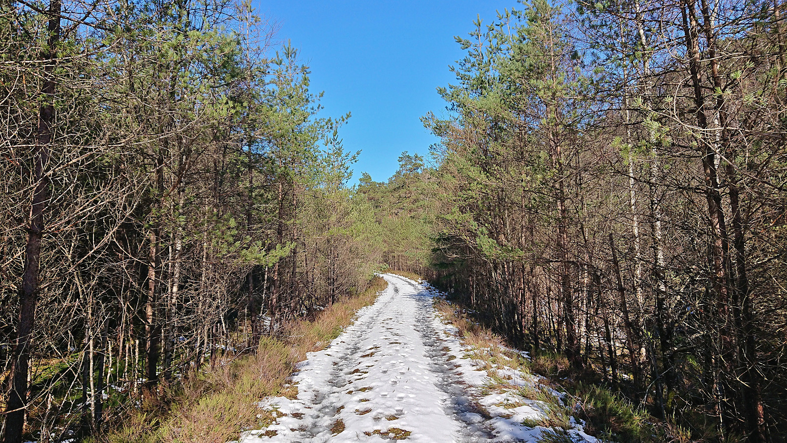
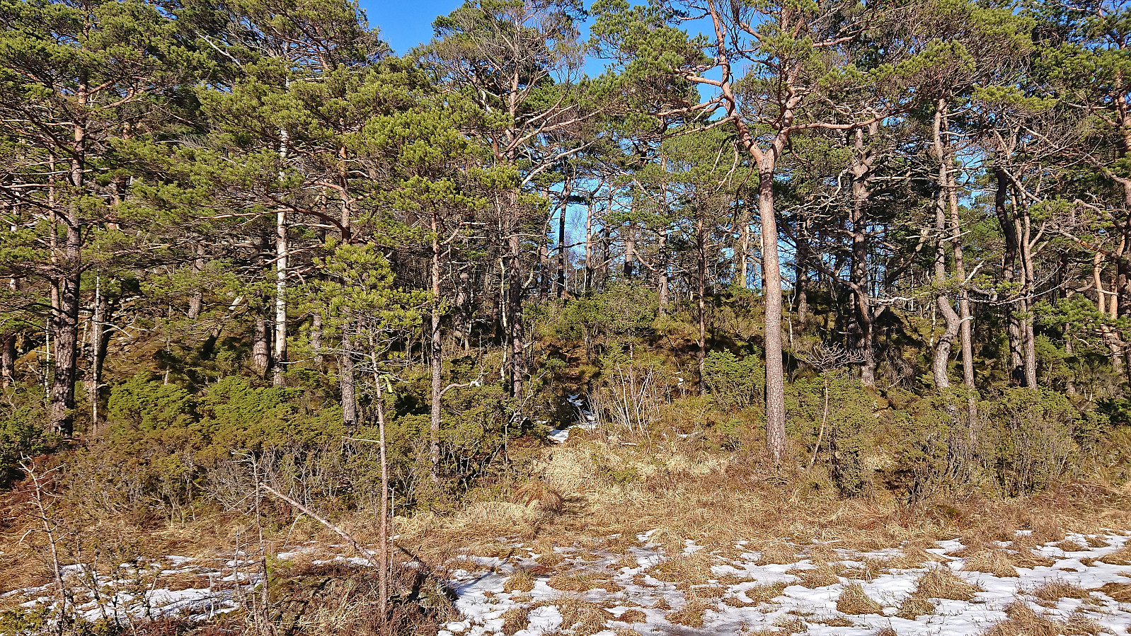
After the hike to Stussvikhovda and Aldalsnuten, we drove the short distance to the crossroads just east of the start of Stussvikhovdatunnelen. Here we found parking at what Skyss refers to as Stussvikhovda snuplass and after a short walk north along the main road we were ready to start the ascent to Nesbjørghovda (which is incorrectly named Nesbjørhovda on PB).
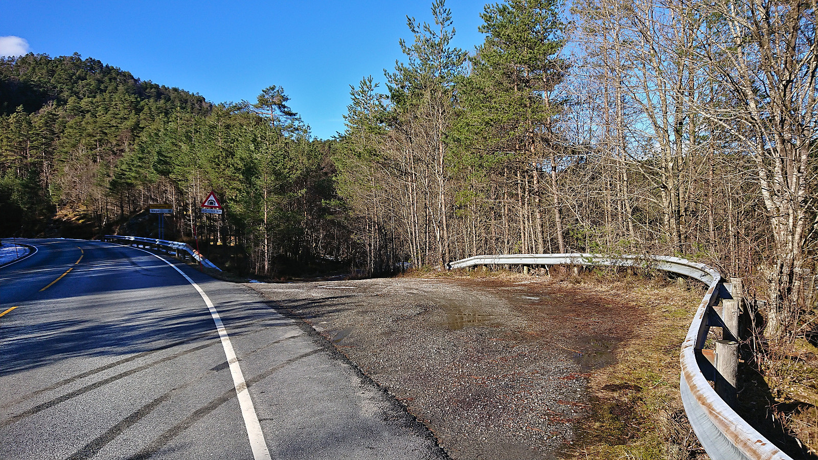
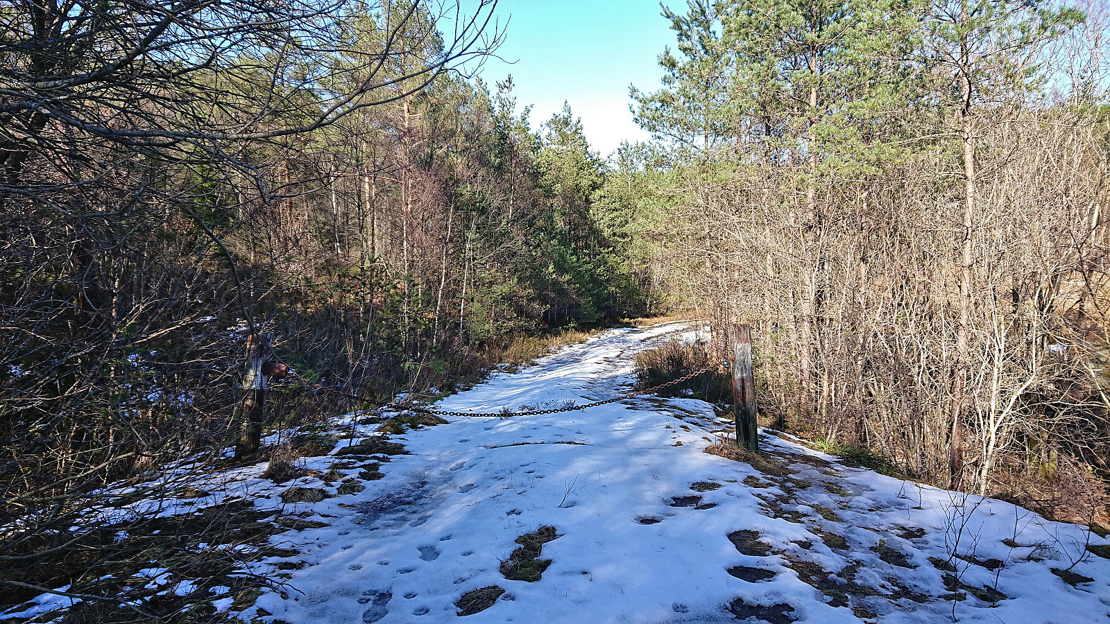
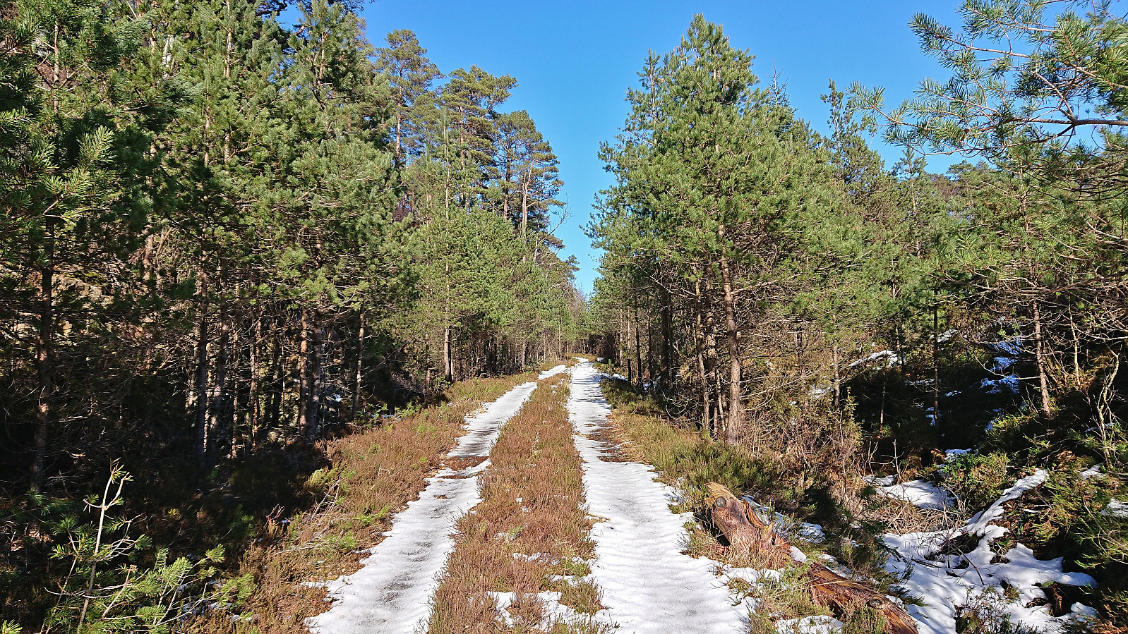
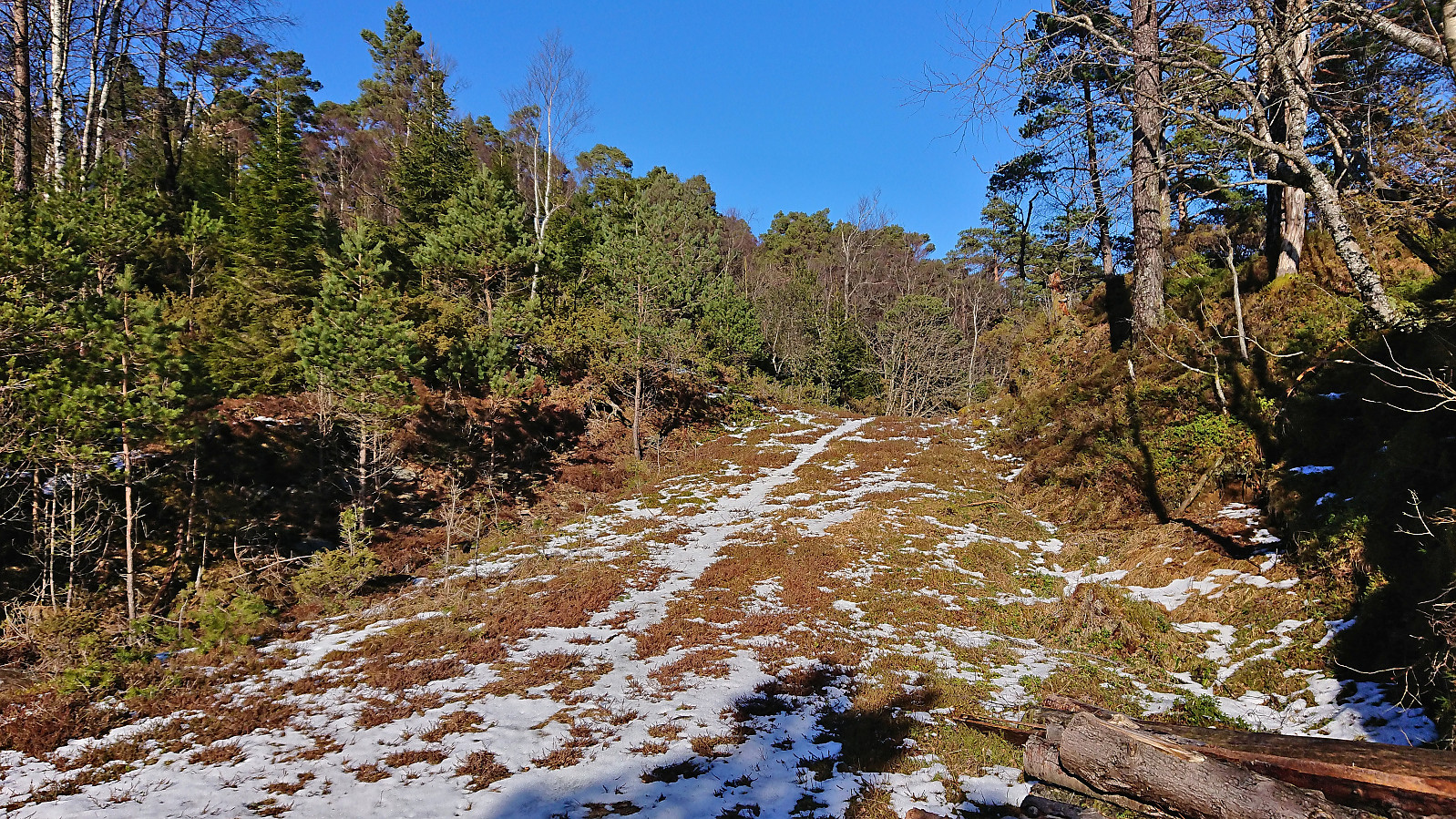
While most hikers seem to start their trip to Nesbjørghovda from Teiga southwest of the summit, and do not speak to highly of the route, I had come across a promising external trip report (scroll down until you find Nesbjørghovda) talking about a marked trail from the main road to the south. This would allow us to follow tractor roads for the first 2.5 km (blocked with a chain across the road early on), leaving only around 1 km on a marked trail to the summit.
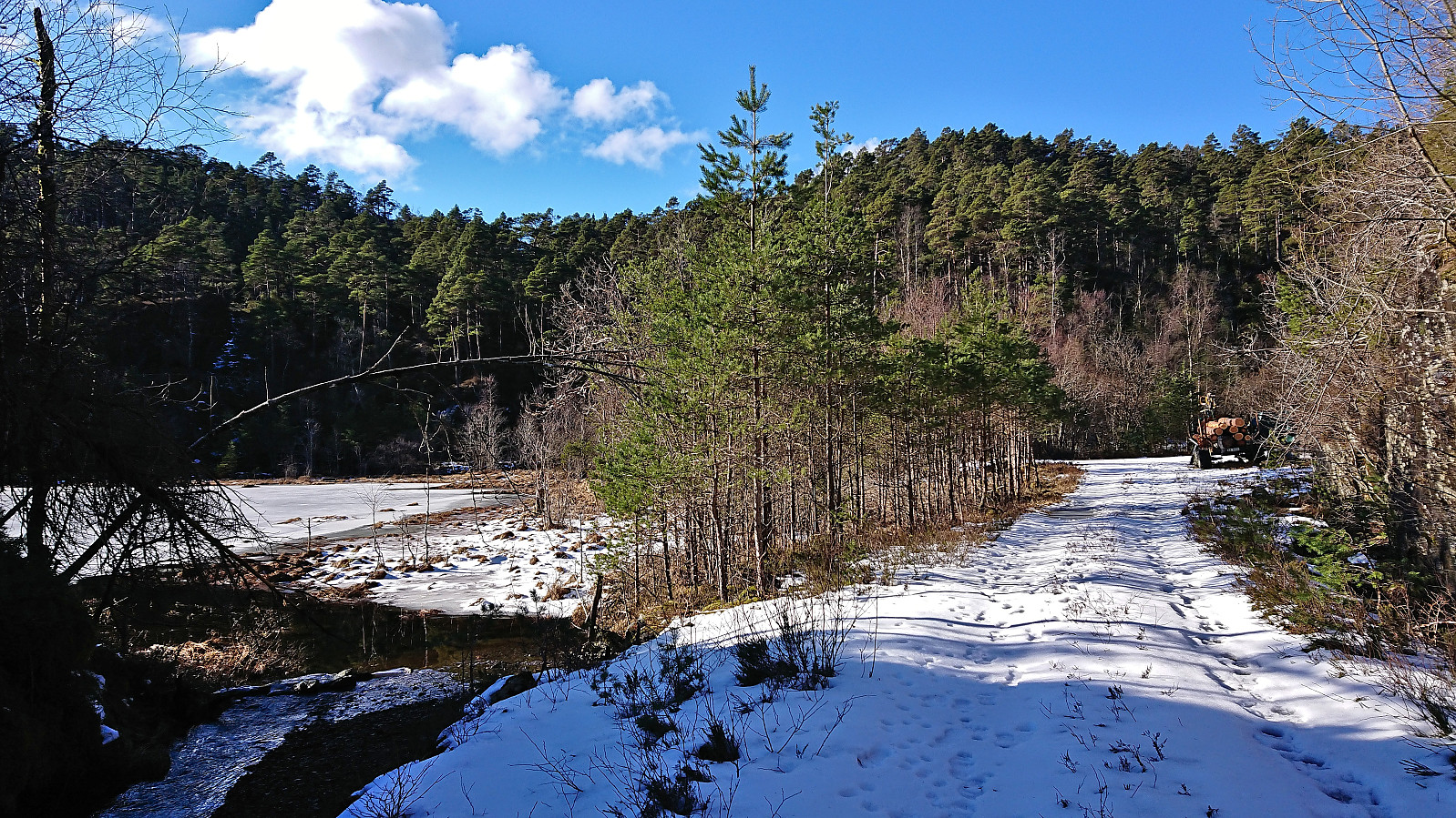
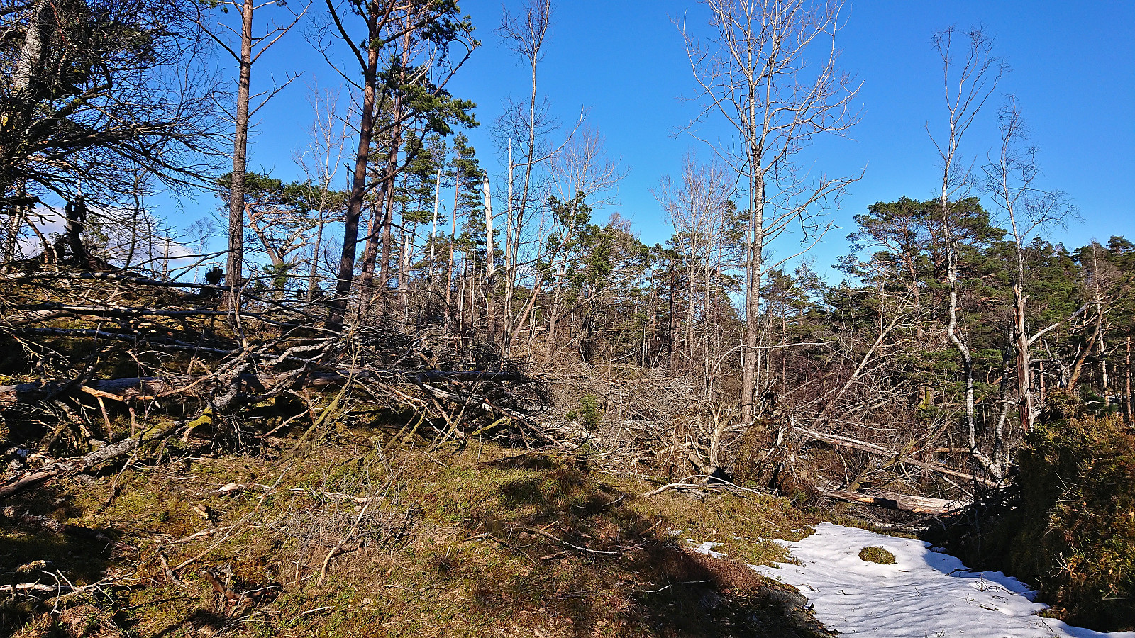
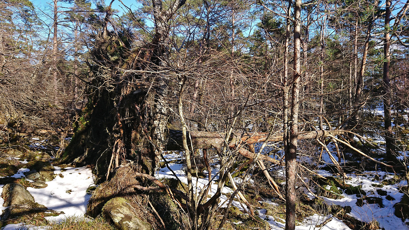
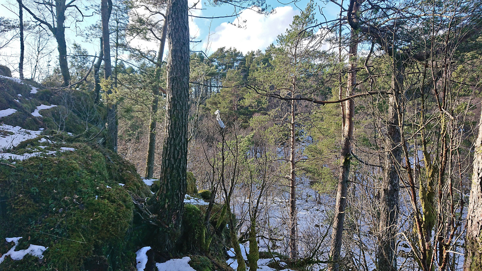
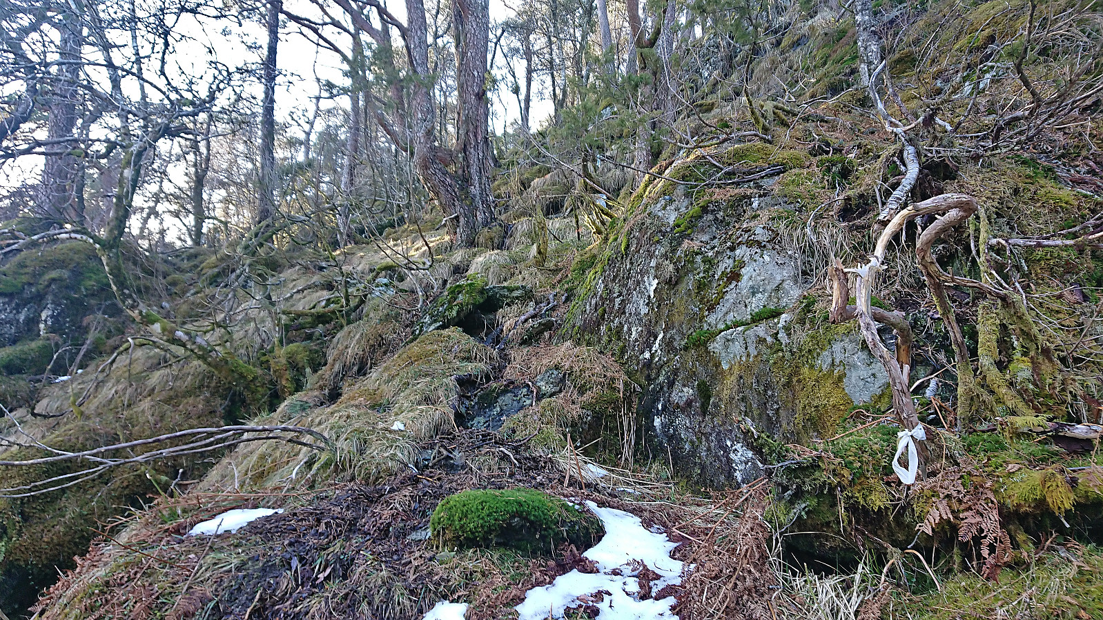
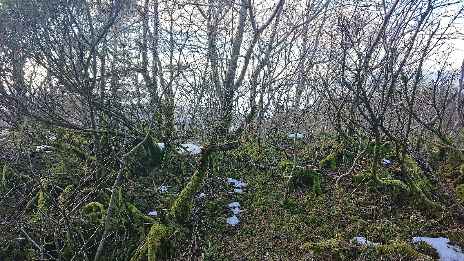
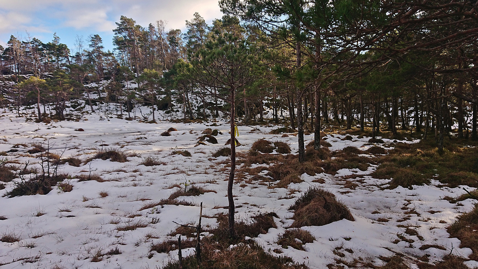
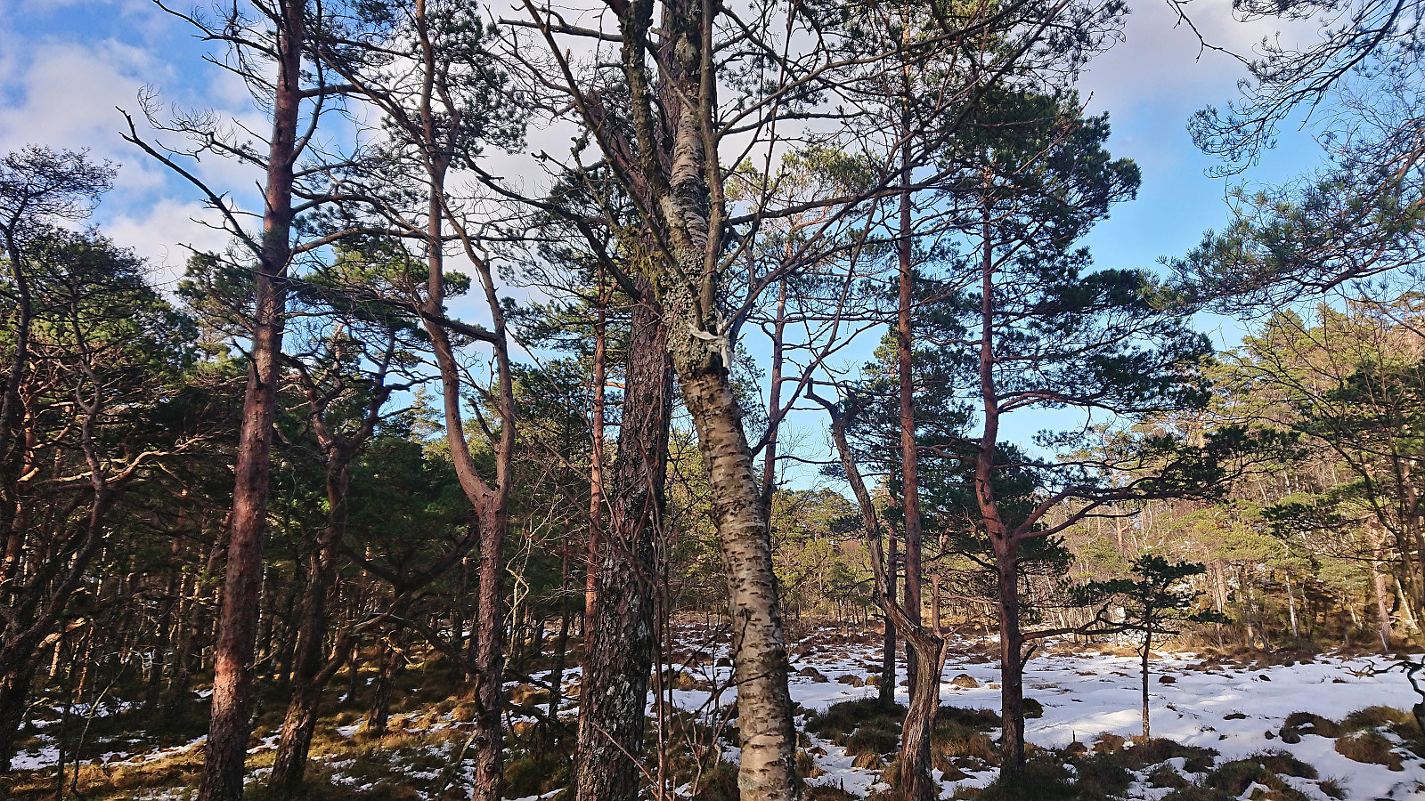
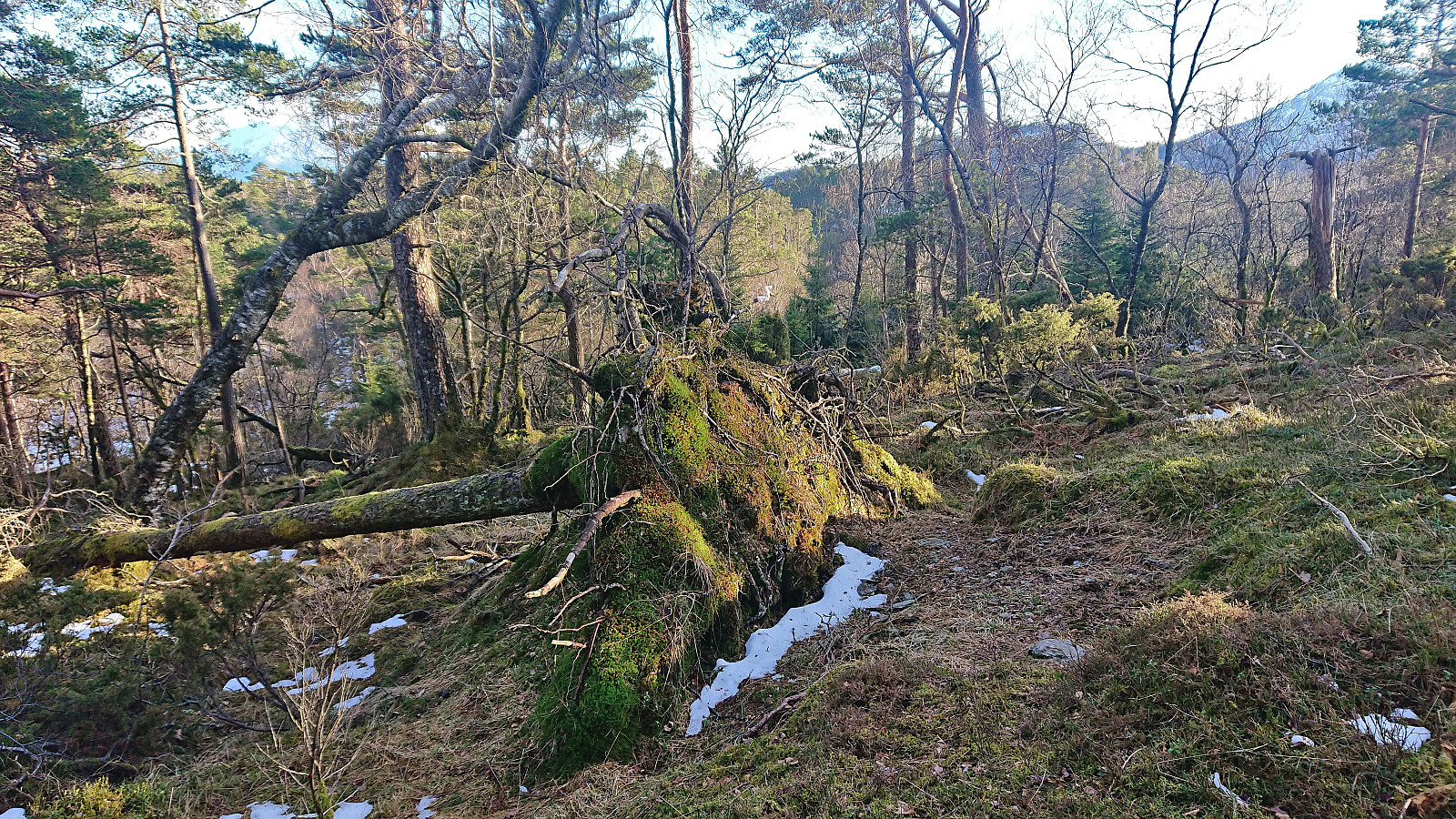
The first part was straightforward and we soon arrived at Bergstjørna. Here we forked northeast and later northwest before the tractor road came to an end just east of Kraken. This was where the marked trail ought to start, but of it we could see neither markers nor signs of any kind... We decided to continue north along the west side of a small hill, however this quickly led us into an area filled with overturned trees that had to be navigated.
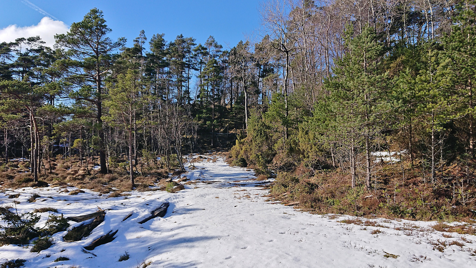
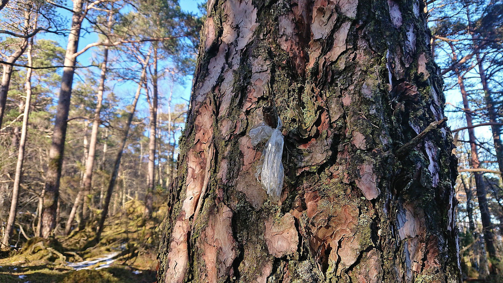
Upon finally reaching the wet area north/northeast where the tractor road ended, we had pretty much given up on finding the trail markers. But just as we were trying to figure out the best off-trail route to the summit, we spotted the first white and yellow plastic trail markers! The markers where however often quite difficult to see, and varied in both size and color, some were even made of clear plastic. Most were white though, and probably stand out more when not masked by the many patches of snow scattered through the terrain today.
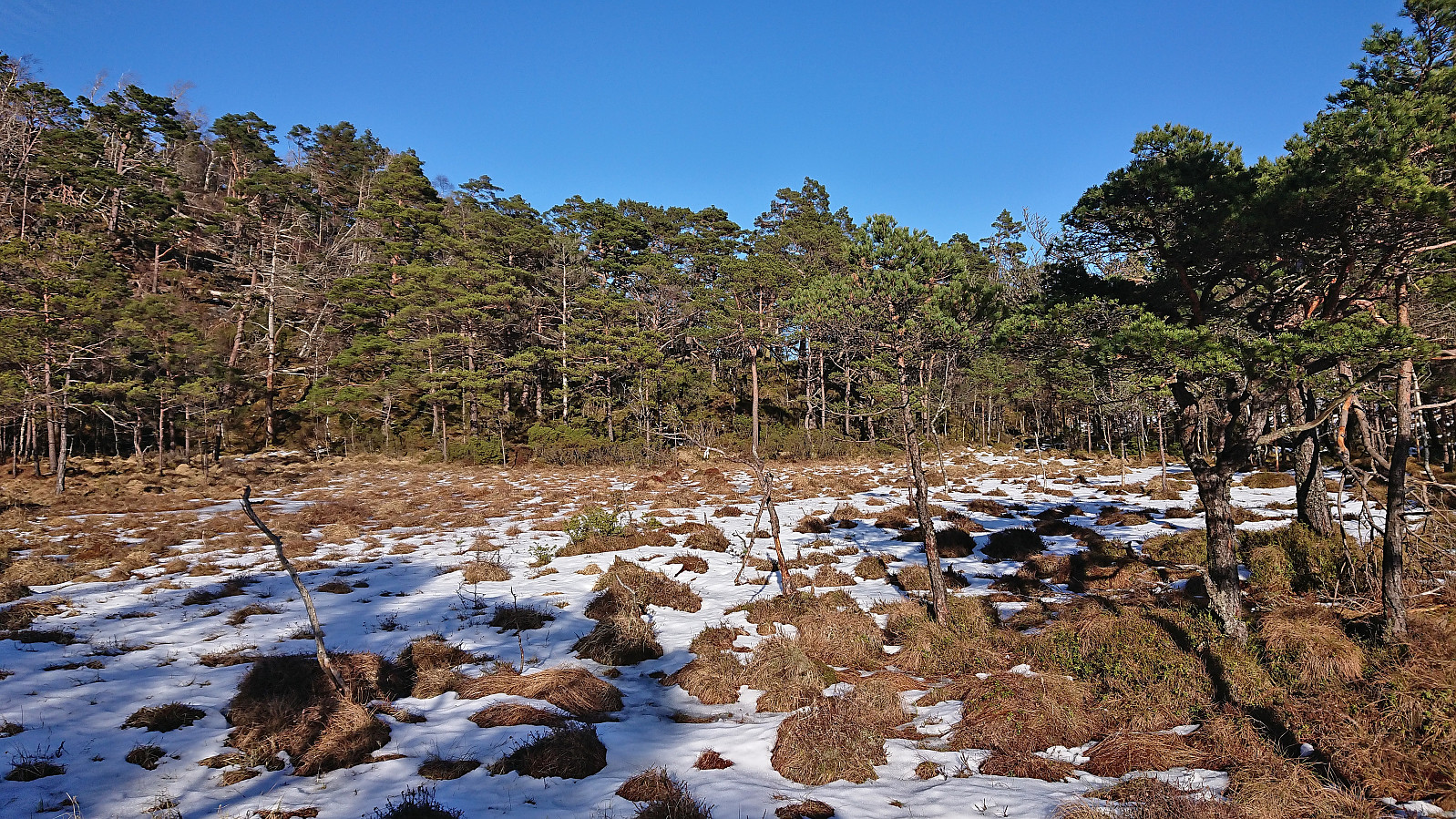
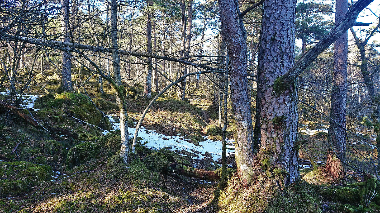
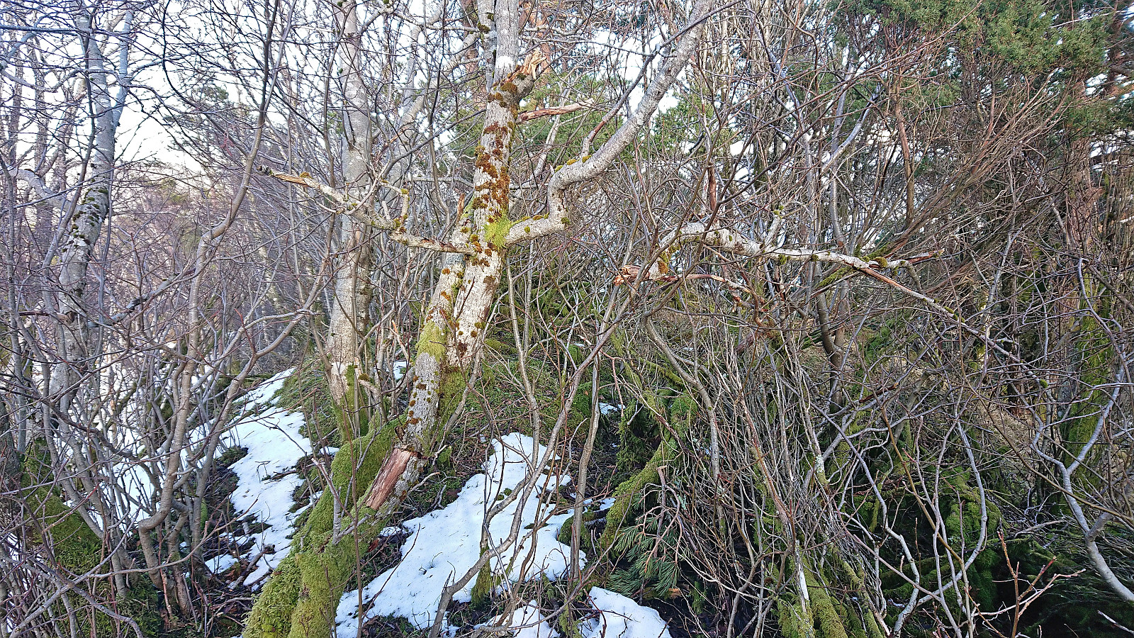
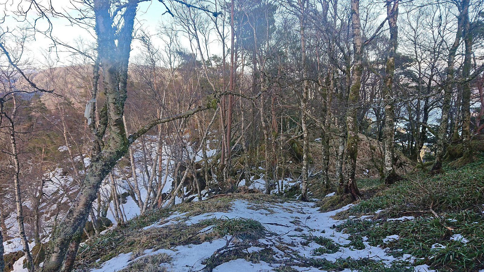
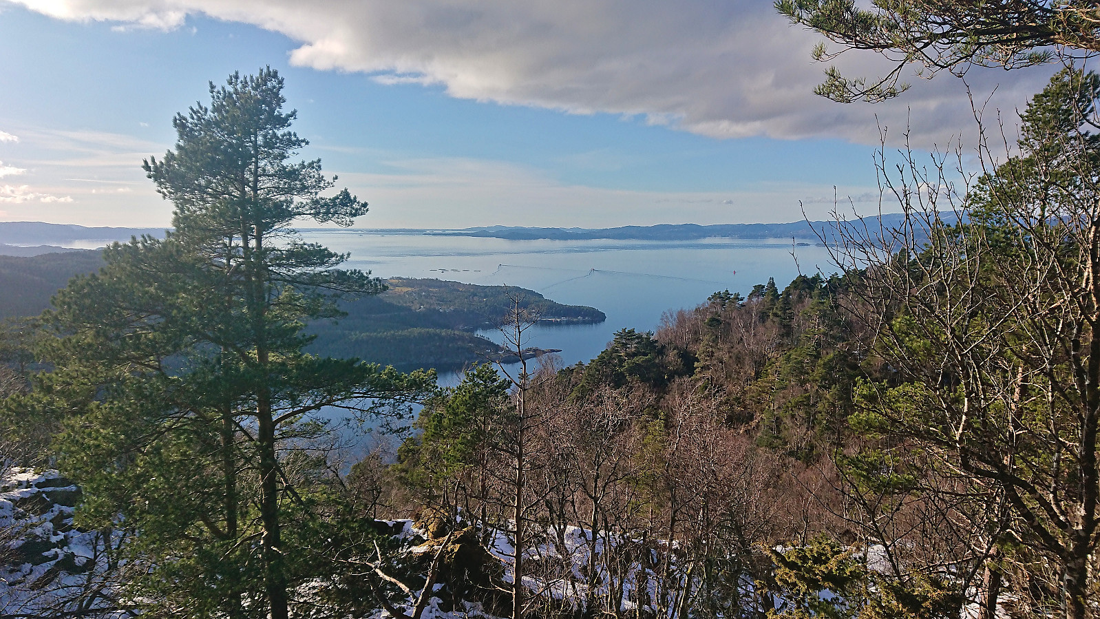
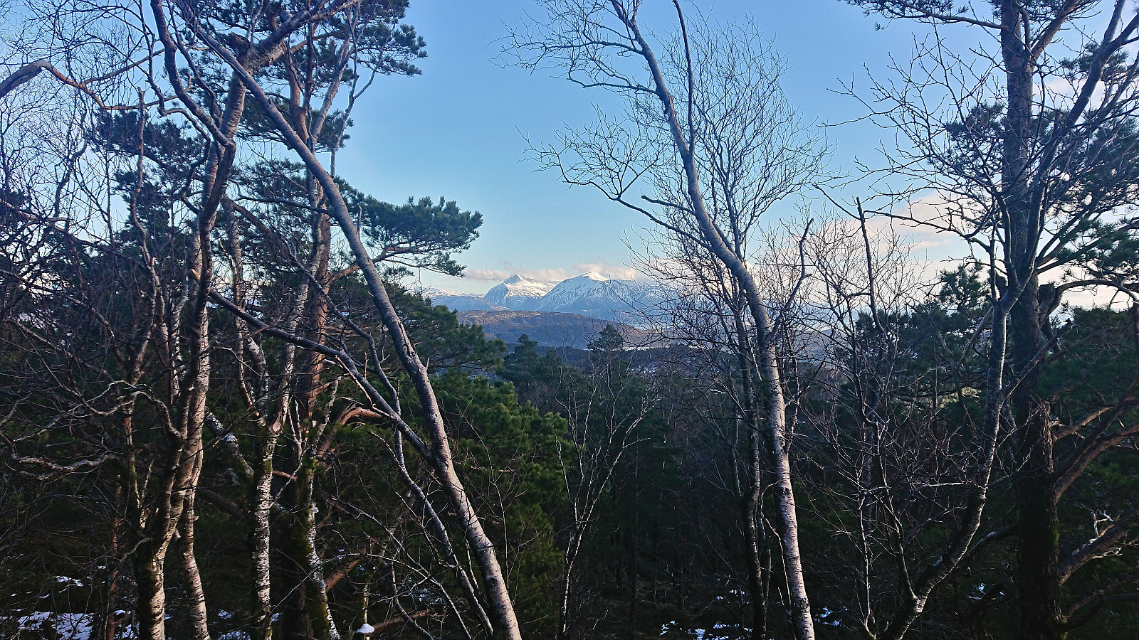
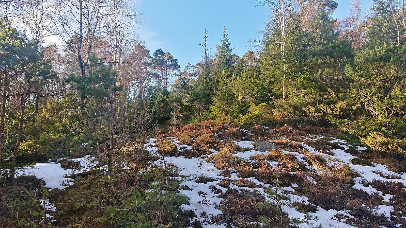
From there on it became a scavenger hunt to locate the next trail marker. The combination of a very weak trail and often difficult to see trail markers, resulted in losing the trail a couple of times, but we always found it again without too much trouble. It therefore did not take long before we arrived at the rather uninteresting summit. Limited views from the summit itself, but from just east of the summit there were some pretty good views towards the northwest.
After a short break, we returned along more or less the same route. We manage to locate a couple more of the trail markers, but lost them again in the same area where we had first found them on the ascent. However, after searching for a couple of minutes we managed to find more white trail markers leading us up and over the small hill we had rounded on the west side when leaving the tractor road. The markers took us almost back to the tractor road before again disappearing. All that was left was then the walk along the tractor roads back to the car.
In summary, this alternative route to Nesbjørghovda can be used but it does require a bit more pathfinding, or rather trail marker searching, than expected. The marked trail does however seem to follow the best route to the summit.
Note that the marked trail continues north from the highest point, most likely to the smaller hill around 200 meters further north which could potentially provide better views than from the summit.
| Startzeitpunkt | 18.03.2023 14:46 (UTC+01:00) |
| Endzeitpunkt | 18.03.2023 17:56 (UTC+01:00) |
| Gesamtzeit | 3h 10min |
| Zeit in Bewegung | 2h 41min |
| Pausenzeit | 0h 28min |
| Gesamtschnitt | 2,6km/h |
| Bewegungsschnitt | 3,1km/h |
| Entfernung | 8,3km |
| Höhenmeter | 347m |


Benutzerkommentare