
Five summits west of Vinningsleitet (25.02.2023)

Written by hbar (Harald Barsnes)

| Start point | Vinningsleitet p-lomme (725m) |
|---|---|
| Endpoint | Vinningsleitet p-lomme (725m) |
| Characteristic | Backcountry skiing |
| Duration | 9h 28min |
| Distance | 24.3km |
| Vertical meters | 1,663m |
| GPS |
|
| Ascents | Blåfjellet (1,101m) | 25.02.2023 |
|---|---|---|
| Byvasshovden (1,079m) | 25.02.2023 | |
| Gråsida (1,095m) | 25.02.2023 | |
| Kvanngrønavene (1,101m) | 25.02.2023 | |
| Nonhaugen (1,046m) | 25.02.2023 | |
| Visits of other PBEs | Vinningsleitet p-lomme (725m) | 25.02.2023 |
Five summits west of Vinningsleitet
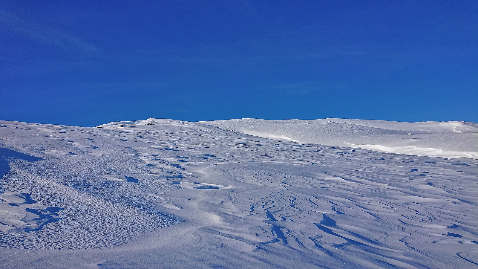
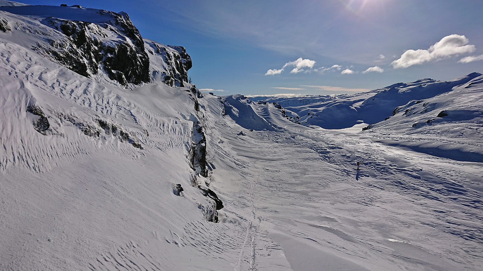
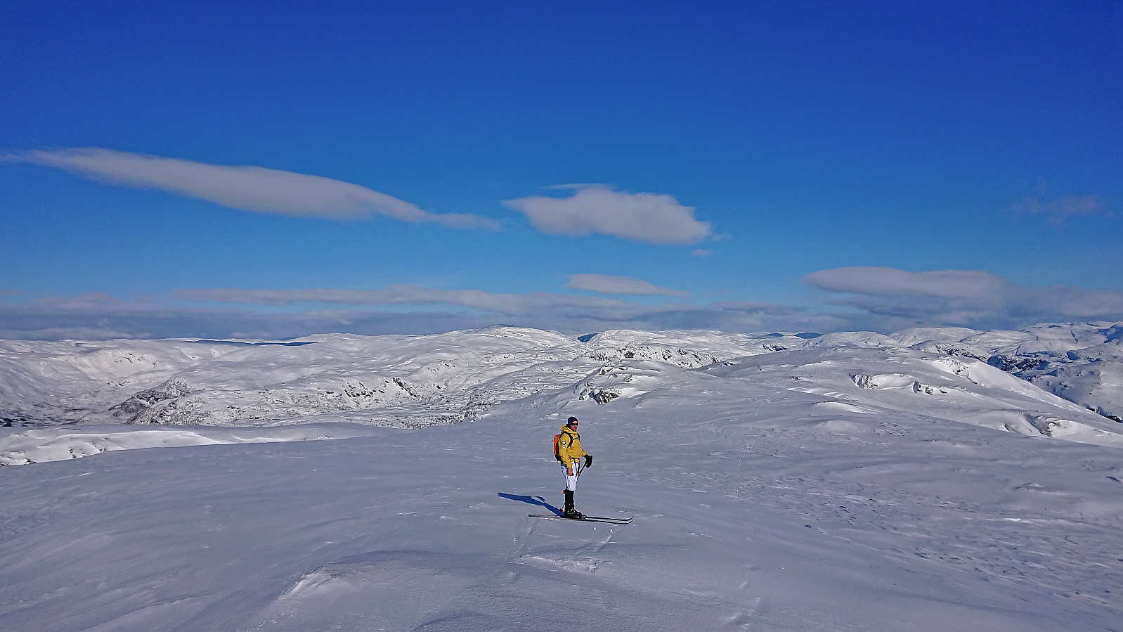
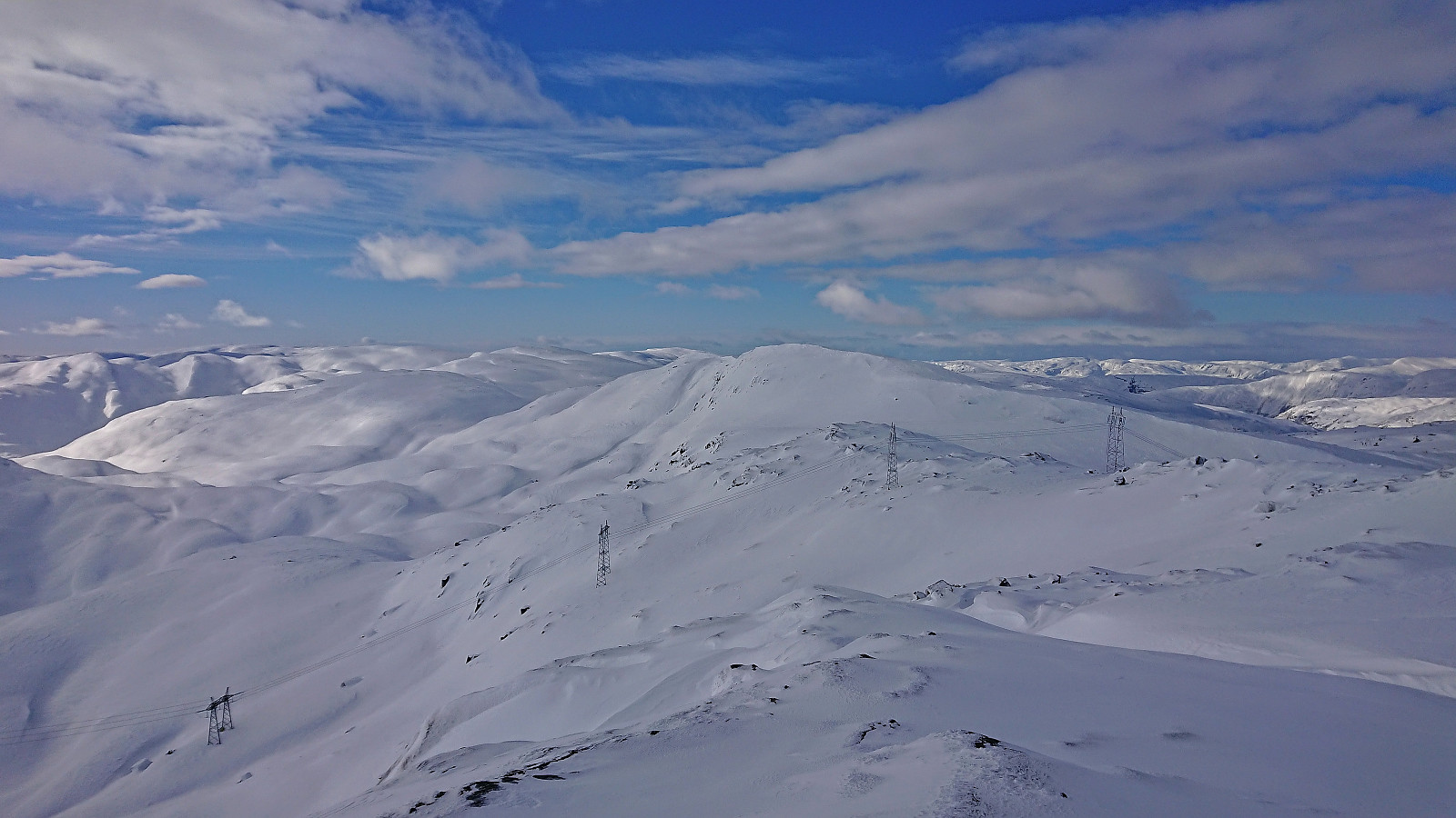
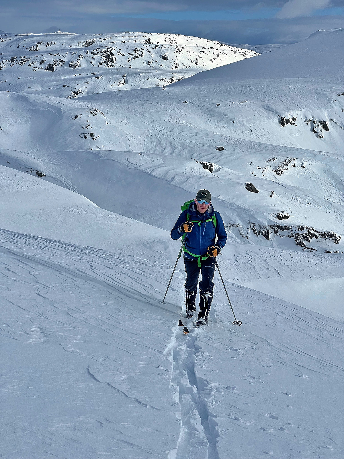
When Endre suggested a skiing trip to the five summits east of Vinningsleitet, I of course quickly said yes. (Bonus tip: see this external trip report for a similar skiing trip.) He picked me up early Saturday morning for the drive to Vinningsleitet. We arrived at the small parking lot around 10:00 and were ready to start skiing shortly after. First up was Nonhaugen, which was easily accessed by ascending directly from the parking lot, except for a short descent into the valley between Nonhaugen and Ørnahaugen, and it did not take long before we were standing at the summit.
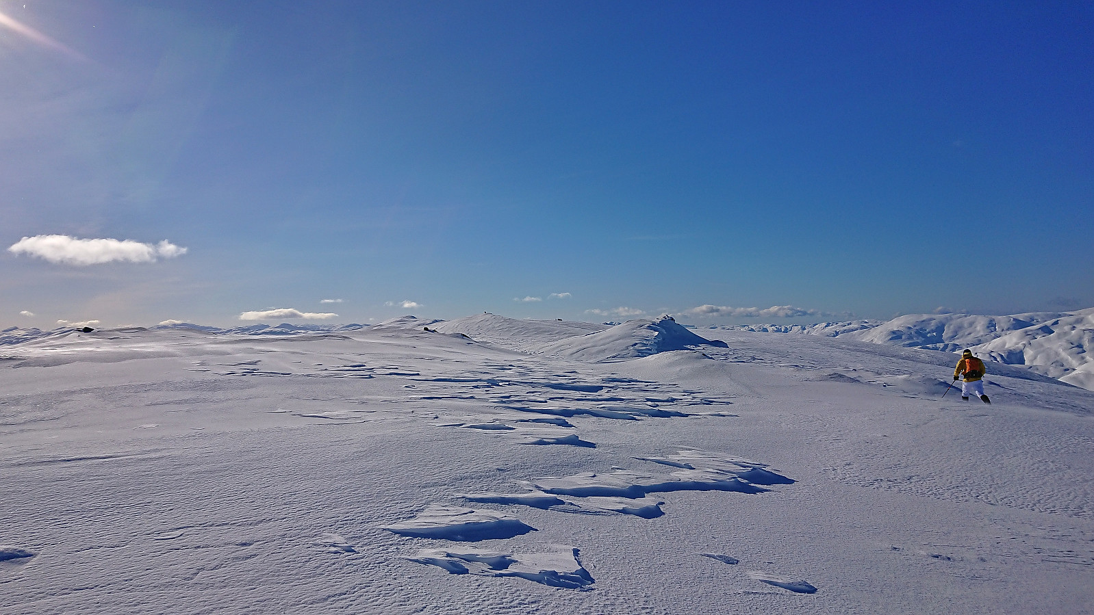
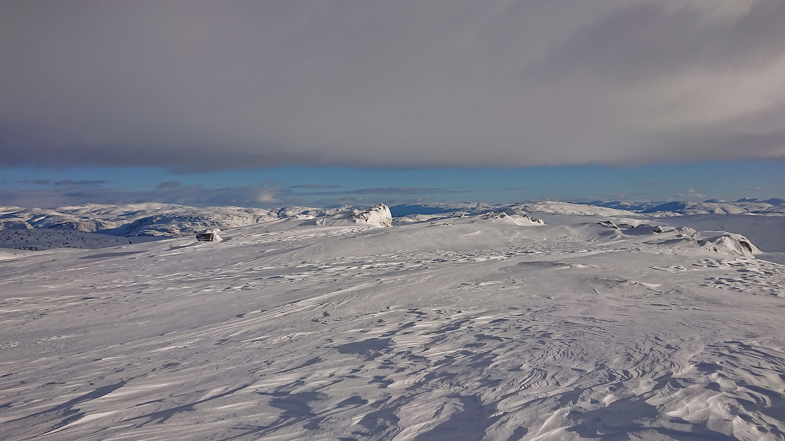
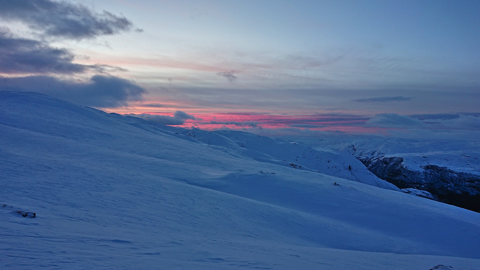
Throughout the trip there would be a strong and cold wind from north/northeast. It was however mainly coming at us from the side and overall did not present much of an issue. The snow conditions were on the other hand more heavily affected, thus the conditions varied greatly, from packed snow/ice to deeper layers of new snow. We therefore kept the climbing skins on for a larger percentage of the trip than we would otherwise normally have done, thus resulting in a harder trip than under better conditions.
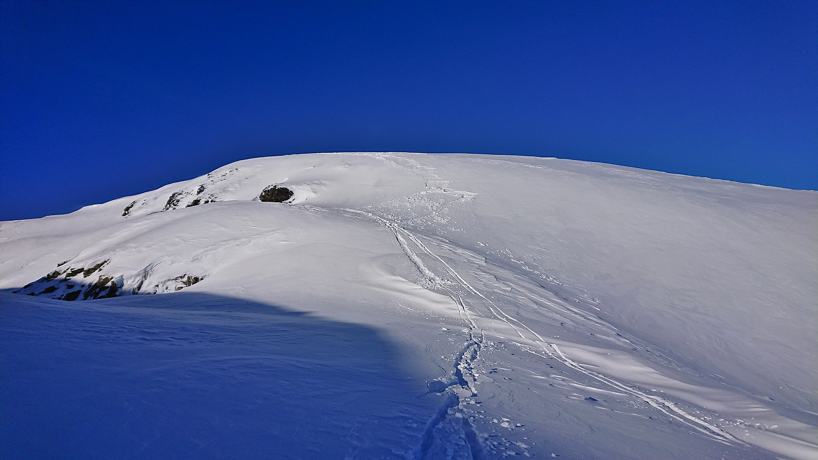
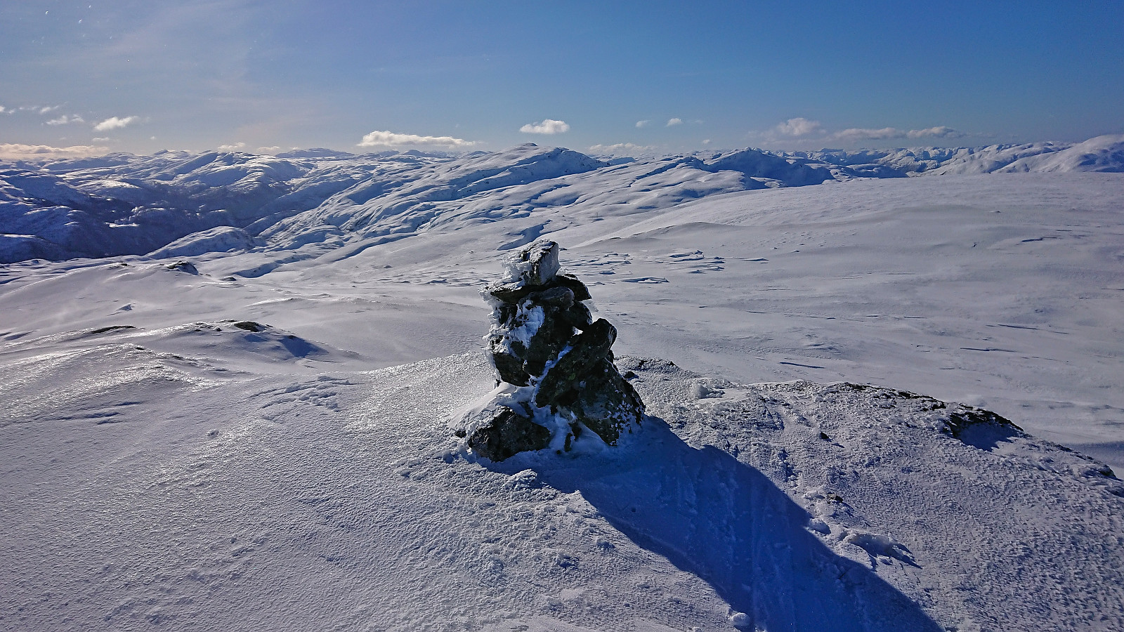
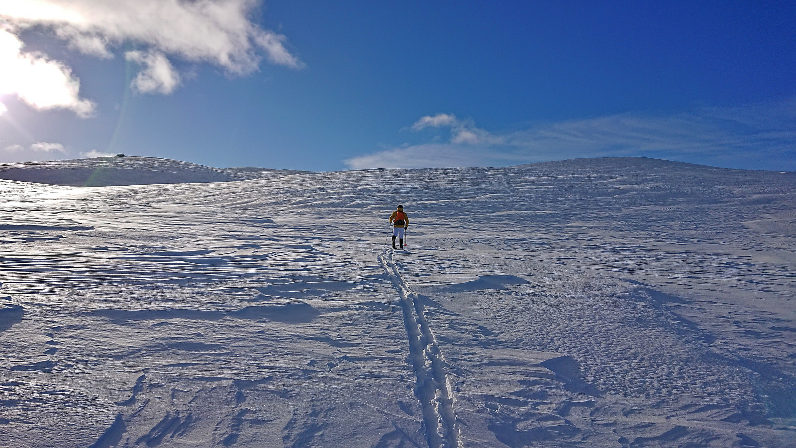
From Nonhaugen we descended west to the small lake north of Ljosvatnet, easily managing to find a route that avoided all of the steeper areas, before ascending to the small unnamed hill north of the northeastern end of Bydalen. Our descent into Bydalen involved a short steep section that had to be handled with care, but as the distance was very short we did not have any real issues and were soon ready for the initially steep ascent to Byvasshovden. The terrain quickly turned much less steep and we arrived at the summit cairn without any further issues.
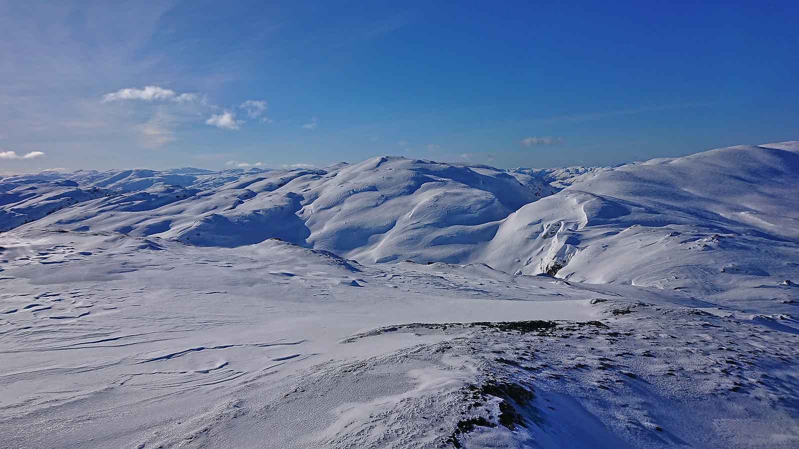
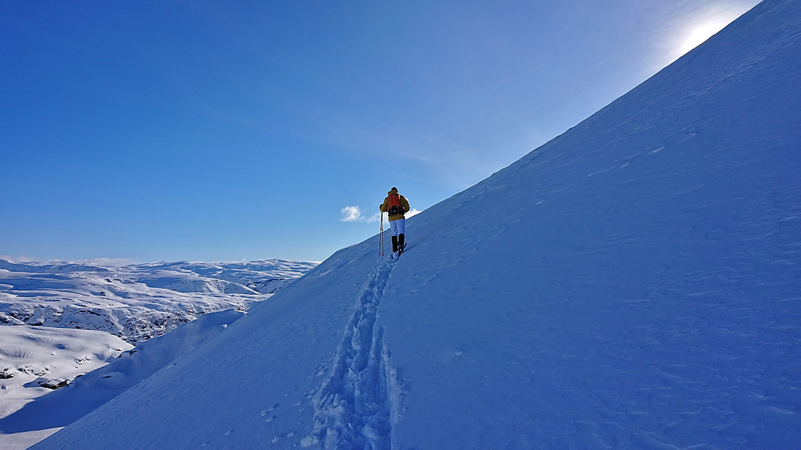
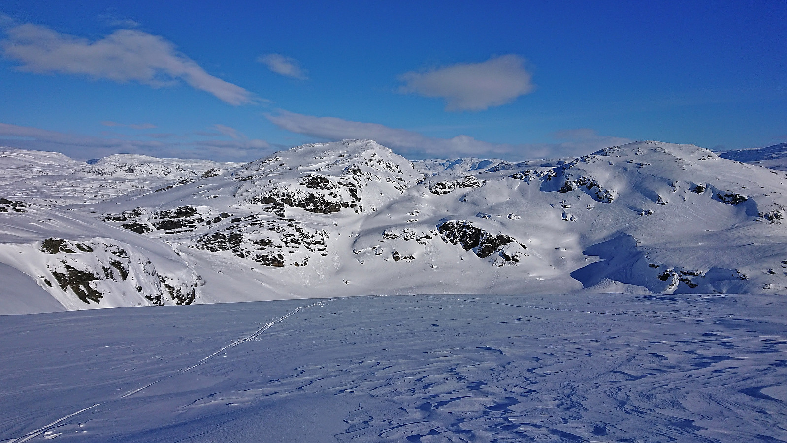
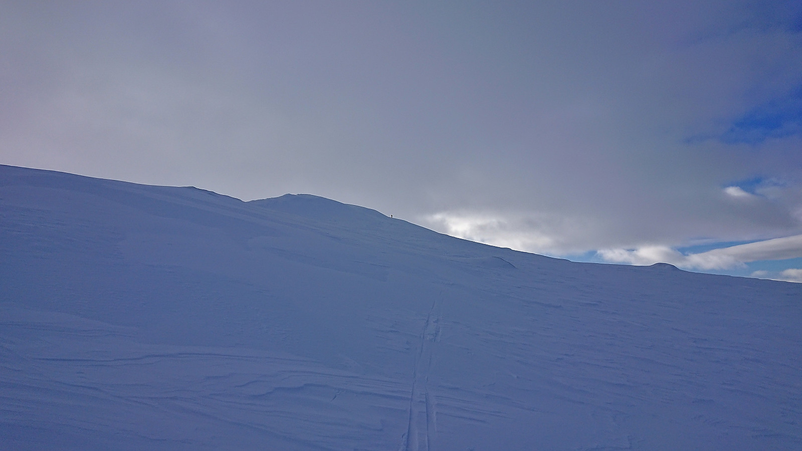
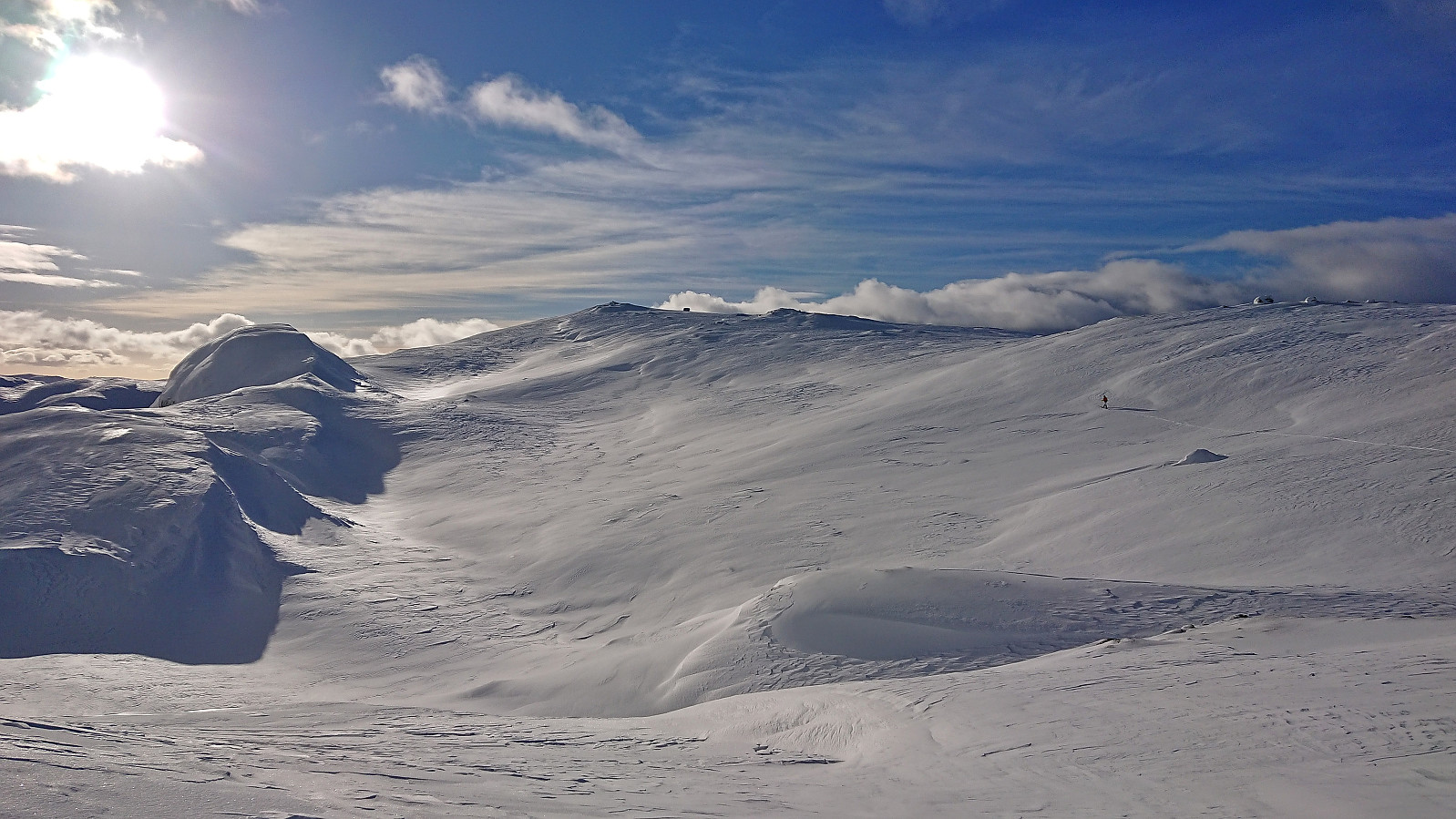
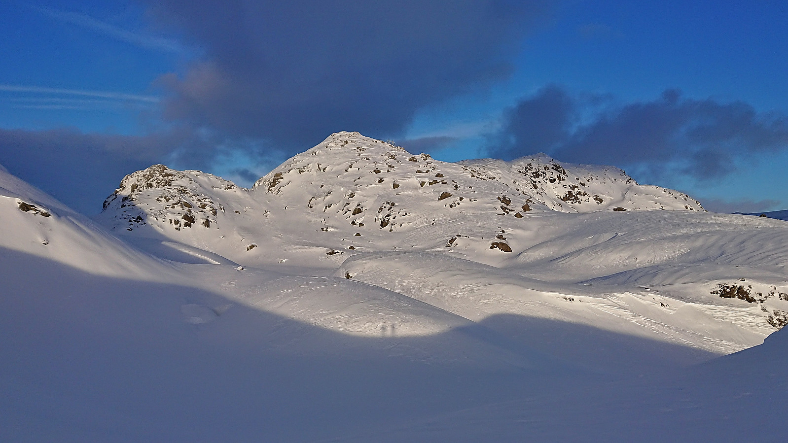
We returned via a slightly different route back into Bydalen. Here we had a quick lunch break before starting our ascent to Gråsida. Getting to the summit of Gråsida was straightforward and there we quickly turned our attention to the next target: finding a safe route from Gråsida to the Blåfjellet. We decided to first descend north and from there follow the ridge southwest to the summit. This turned out to be a good choice and allowed us to avoid any areas with potential for avalanches. It did however include an extended ascent to the summit and I was now starting to run low on energy.
When I finally reached the summit, I found Endre waiting for me by the summit cairn. Our initial plan had been to now turn north to Slettheii, descend to west of Bruskartjørni and ascend Kvanngrønavene from there. This would however mean losing a lot of vertical meters that we would later have to regain. We therefore decided to see if we could find a safe and much shorter route directly southwest from Blåfjellet into Bruskaret and Bruskardalen. This turned out to be relatively easy and we managed to avoid all of the potentially dangerous areas. The only real challenge ended up being the quite deep and heavy snow in Bruskaret.
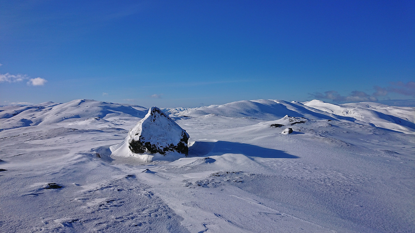
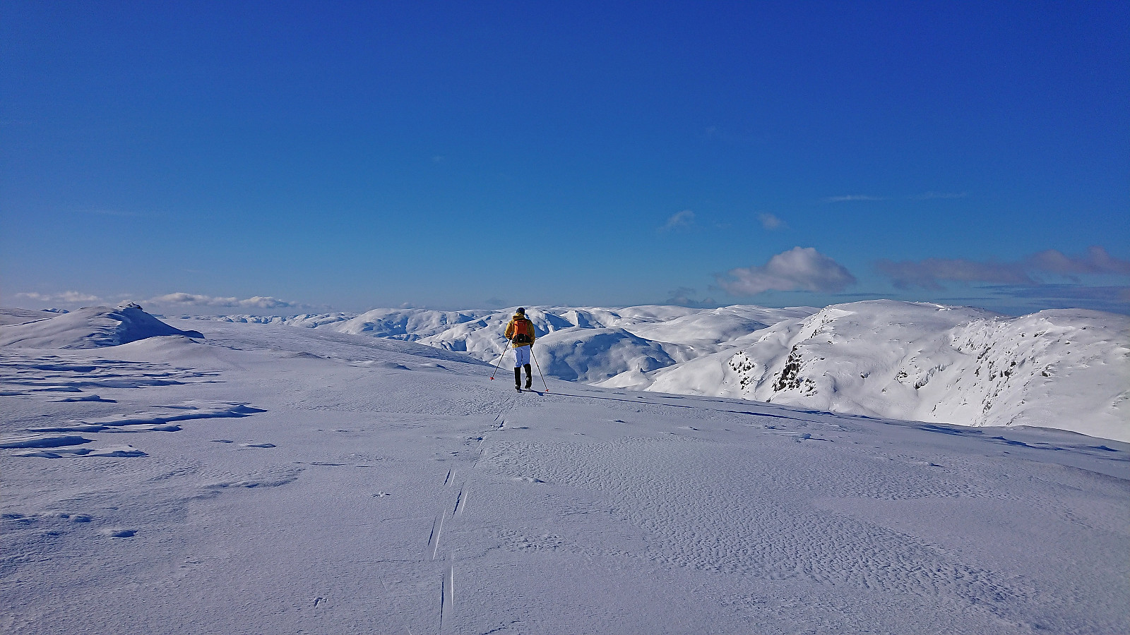
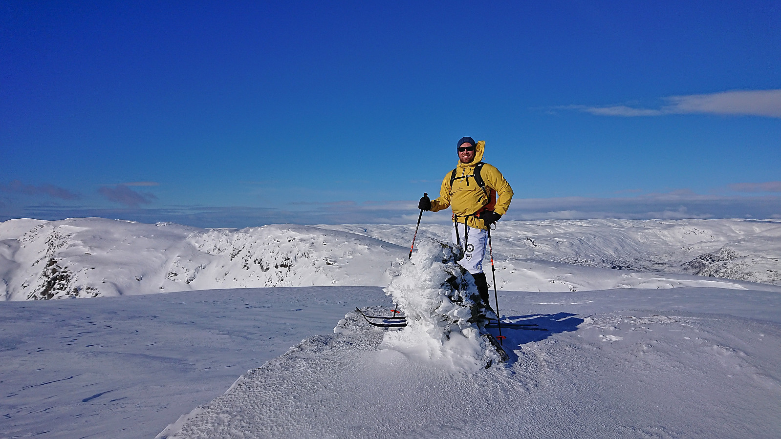
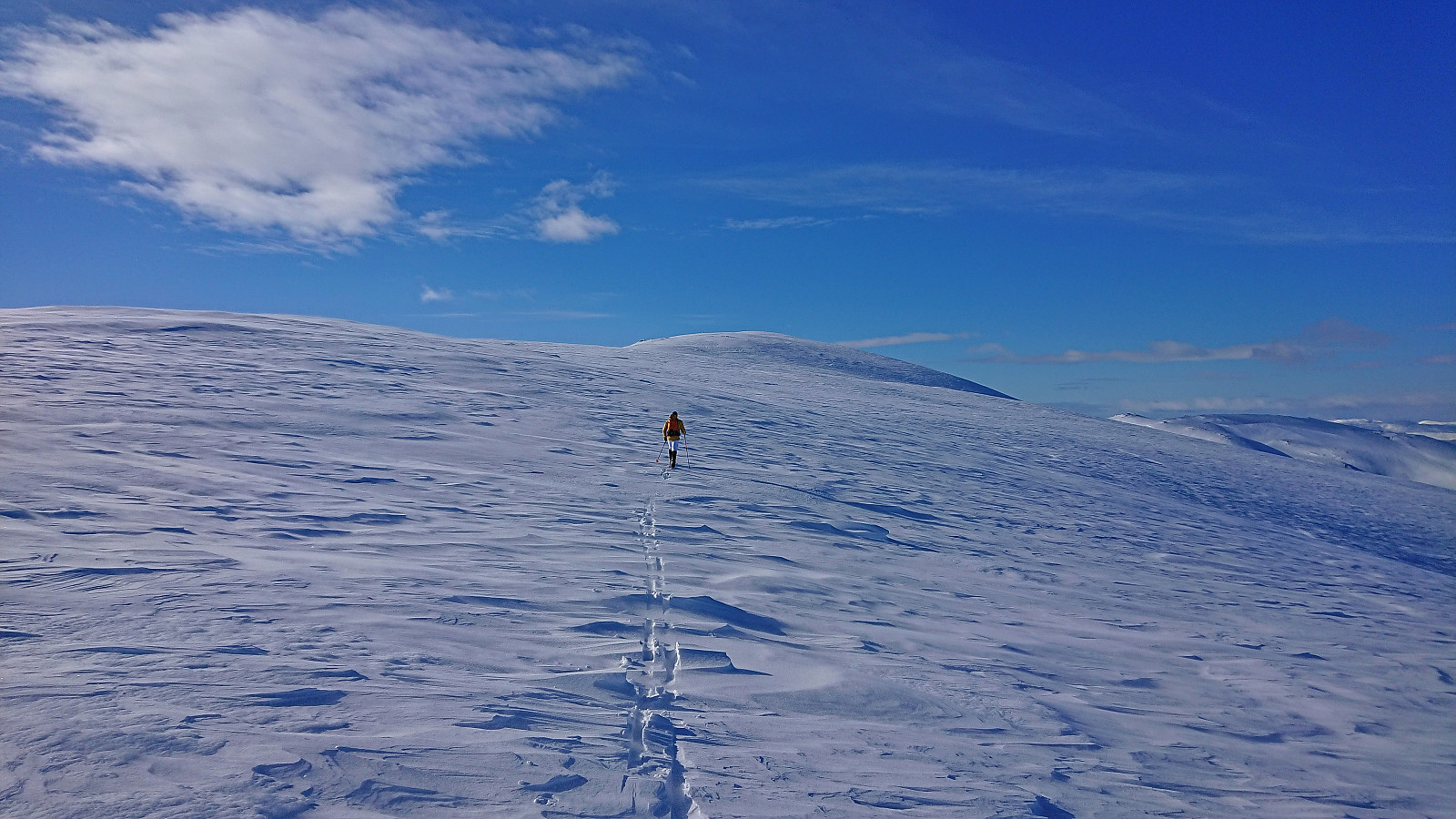
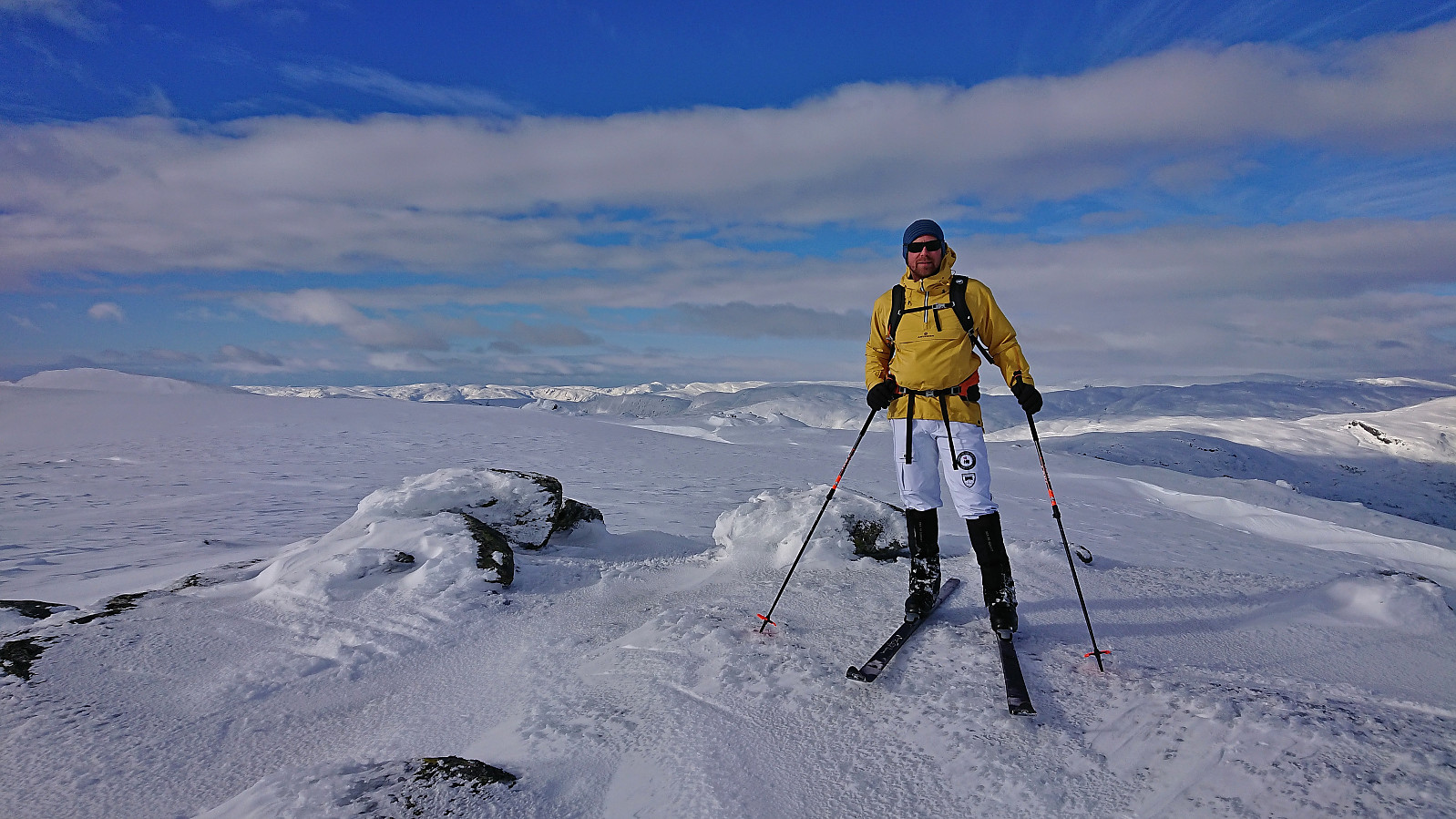
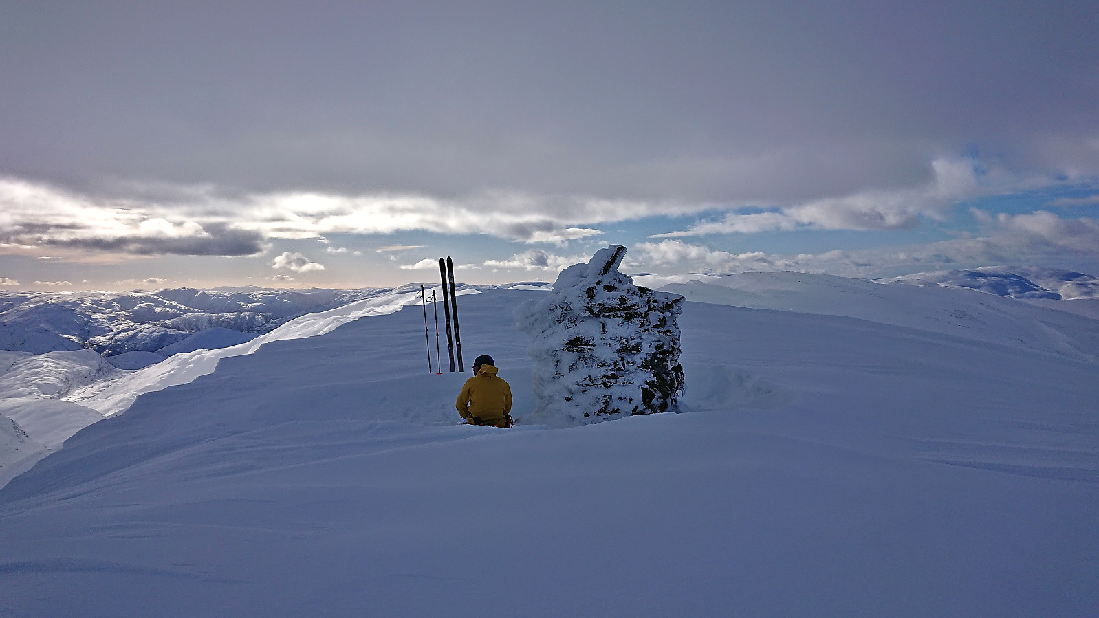
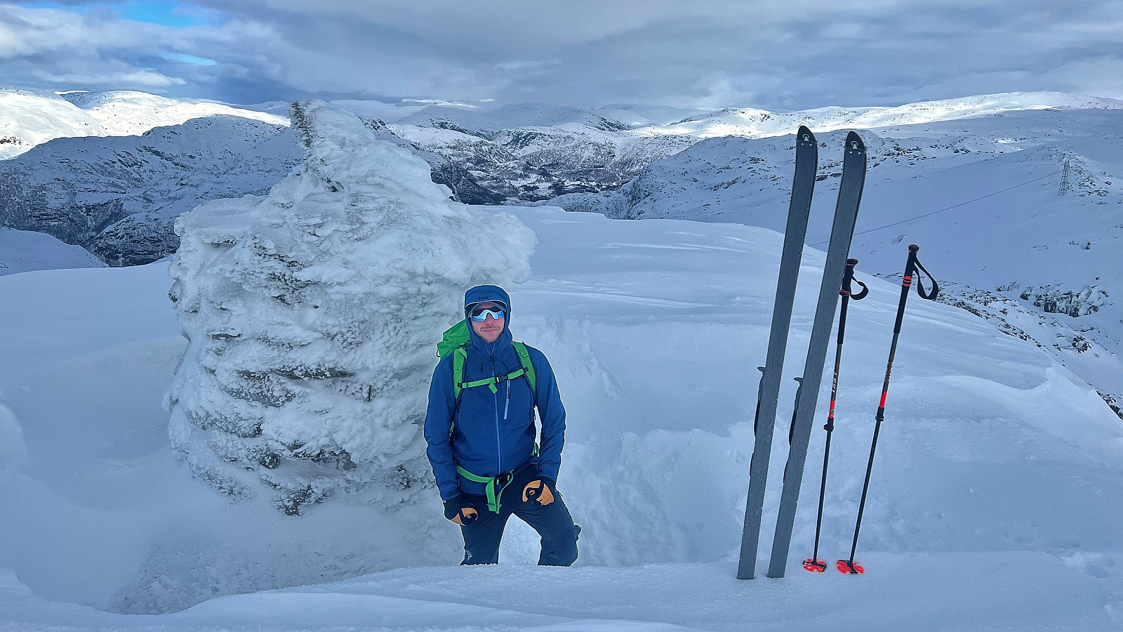
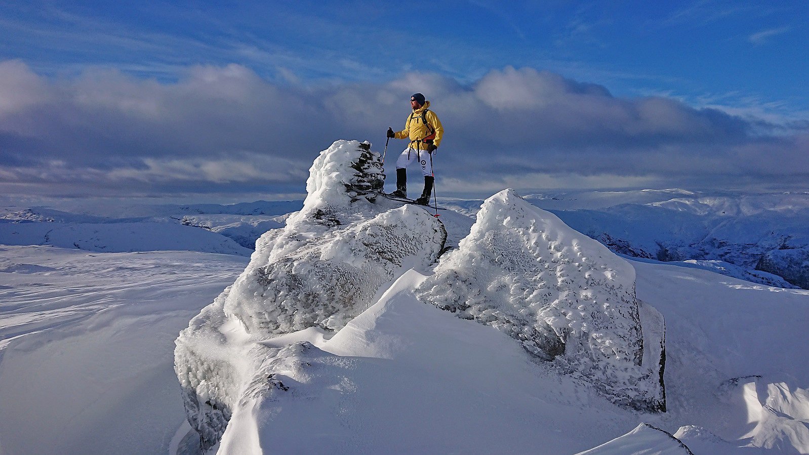
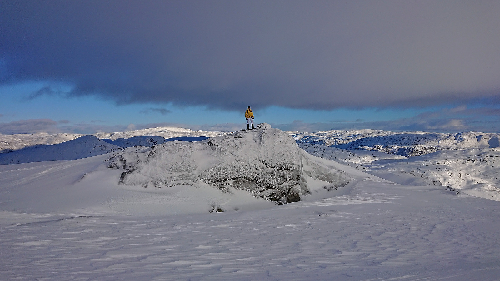
After crossing the top of Bruskaret, I left my backpack behind and we could finally start the ascent to the last summit of the day. Without the weight of my backpack I could more quickly complete the ascent to the summit and we soon arrived at the summit area. Kvanngrønavene included three alternative summits that are all within a meter difference in height. The southeastern one seems to be the highest one (according to hoydedata.no), but we of course visited all three to be sure.
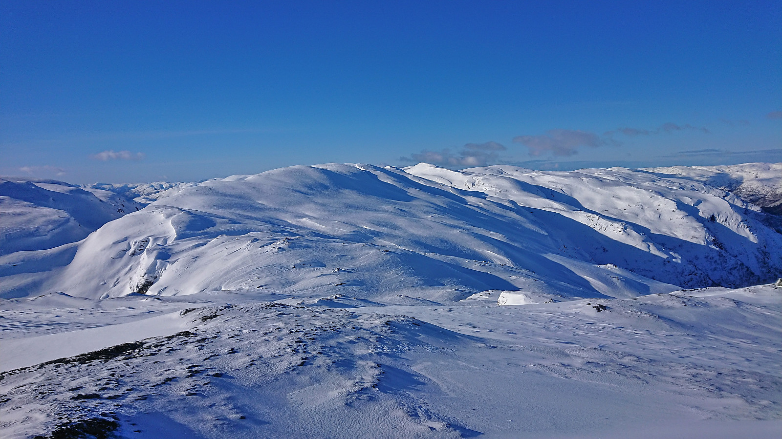
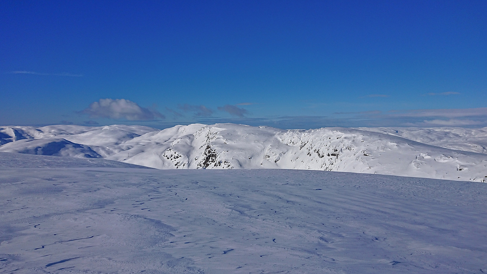
All that remained was then the return trip to the car. We followed a slightly alternative route that rounded Blåfjellet on the southern side before ascending directly towards Gråsida along the southwestern ridge. This turned out to be an ok alternative that reduced the number of vertical meters as much as possible while still avoiding areas with potential avalanche risk.
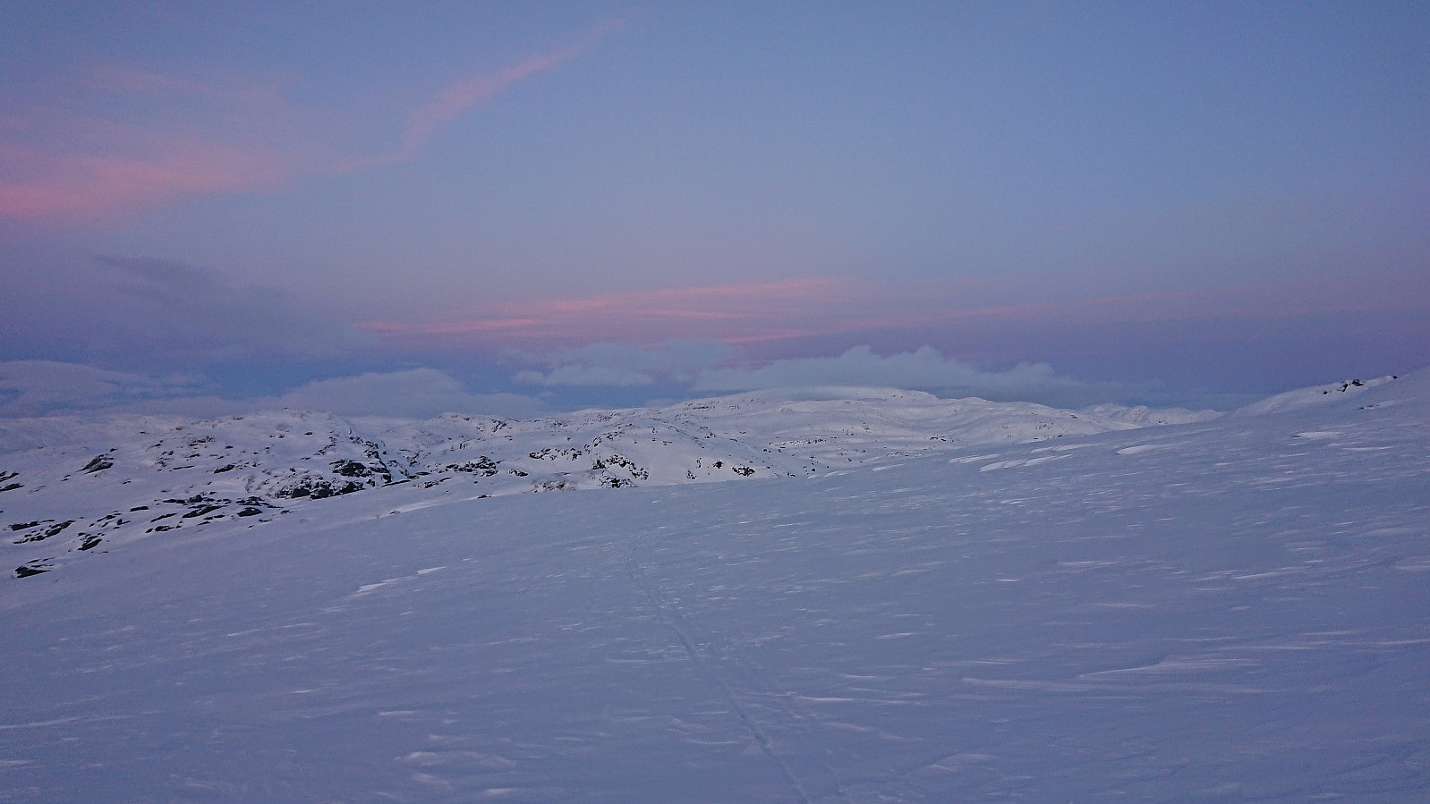
Upon returning to the small lake north Ljosvatnet, Endre managed to find a shortcut taking us directly towards Ørnahaugen, which he visited on his own while I had more than enough with just completing the final climb of the day. Now we were finally ready to start the descent to the parking lot. It was dark and the headlamps came on. Combined with the difficult skiing conditions, at least for my skill level and stage of tiredness, I decided to take the skis off and walk the final kilometer or so (thankfully I largely sank only a couple of centimeters into the snow), thus arriving at the car around 15-20 minutes after Endre.
To conclude, a long but excellent skiing trip that can be highly recommended. Probably even more enjoyable in better skiing conditions though and without a cold wind making it difficult to take anything but short breaks. Finally, please note that while our route should be safe under most snow conditions, you should always be aware and make your own judgements along the way.
Takk for turen Endre! Og takk for tålmodigheten underveis! :)
| Start date | 25.02.2023 10:15 (UTC+01:00) |
| End date | 25.02.2023 19:43 (UTC+01:00) |
| Total Time | 9h 28min |
| Moving Time | 7h 37min |
| Stopped Time | 1h 51min |
| Overall Average | 2.6km/h |
| Moving Average | 3.2km/h |
| Distance | 24.3km |
| Vertical meters | 1,663m |


User comments
Veldig flott rapport!
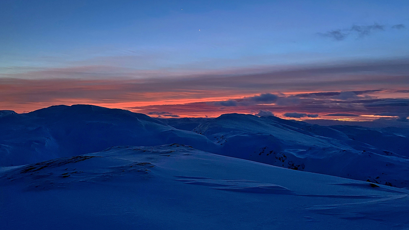
Written by Fjellsamleren 03.03.2023 18:51Takk for en minnerik tur. Ante faktisk ikke at jeg hadde tatt bilde av Jupiter og Venus. Hadde aldri lagt merke til det dersom du ikke hadde skrevet det.
Re: Veldig flott rapport!
Written by hbar 03.03.2023 21:02Takk! Og takker igjen for turen! :)