
Vardetangen and Årvika (21.01.2023)

Written by hbar (Harald Barsnes)

| Start point | Fonnes (17m) |
|---|---|
| Endpoint | Fonnes (17m) |
| Characteristic | Hike |
| Duration | 1h 10min |
| Distance | 5.5km |
| Vertical meters | 87m |
| GPS |
|
| Visits of other PBEs | Vardetangen dagsturhytte (9m) | 21.01.2023 |
|---|---|---|
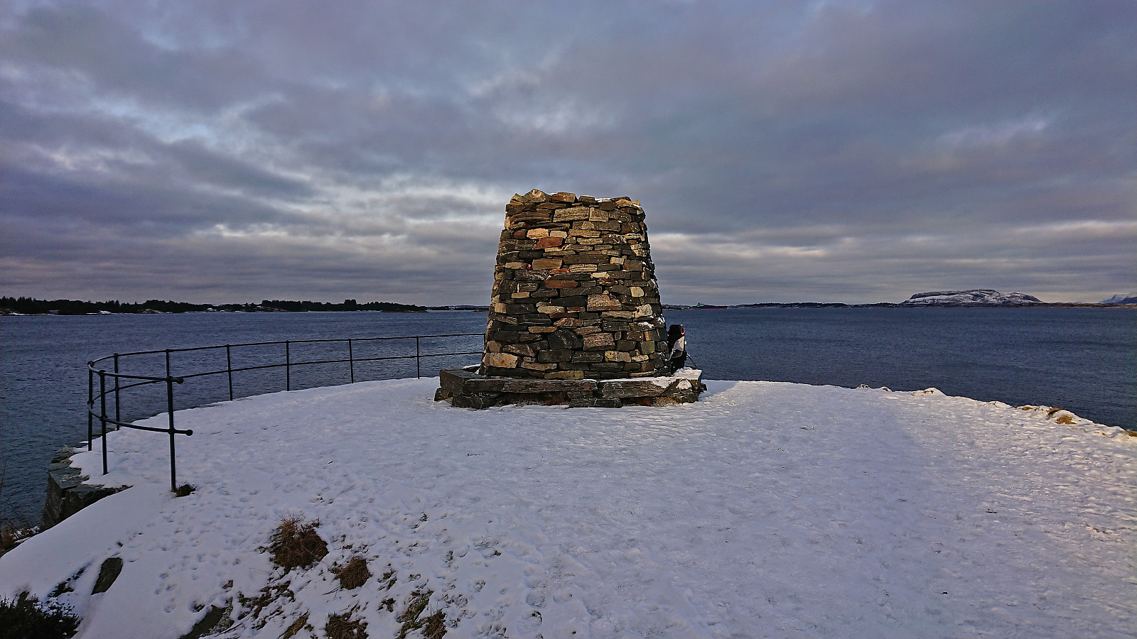
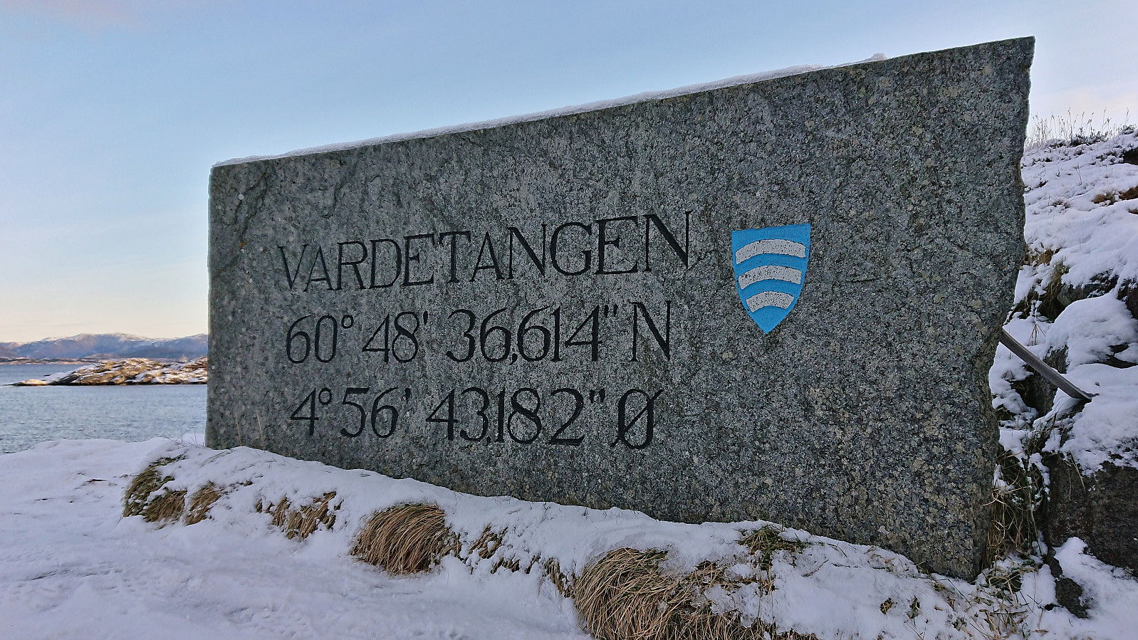
| Vardetangen - Norges vestligste fastlandspunkt (1m) | 21.01.2023 | |
| Vardetangen p-plass (12m) | 21.01.2023 |
Vardetangen and Årvika
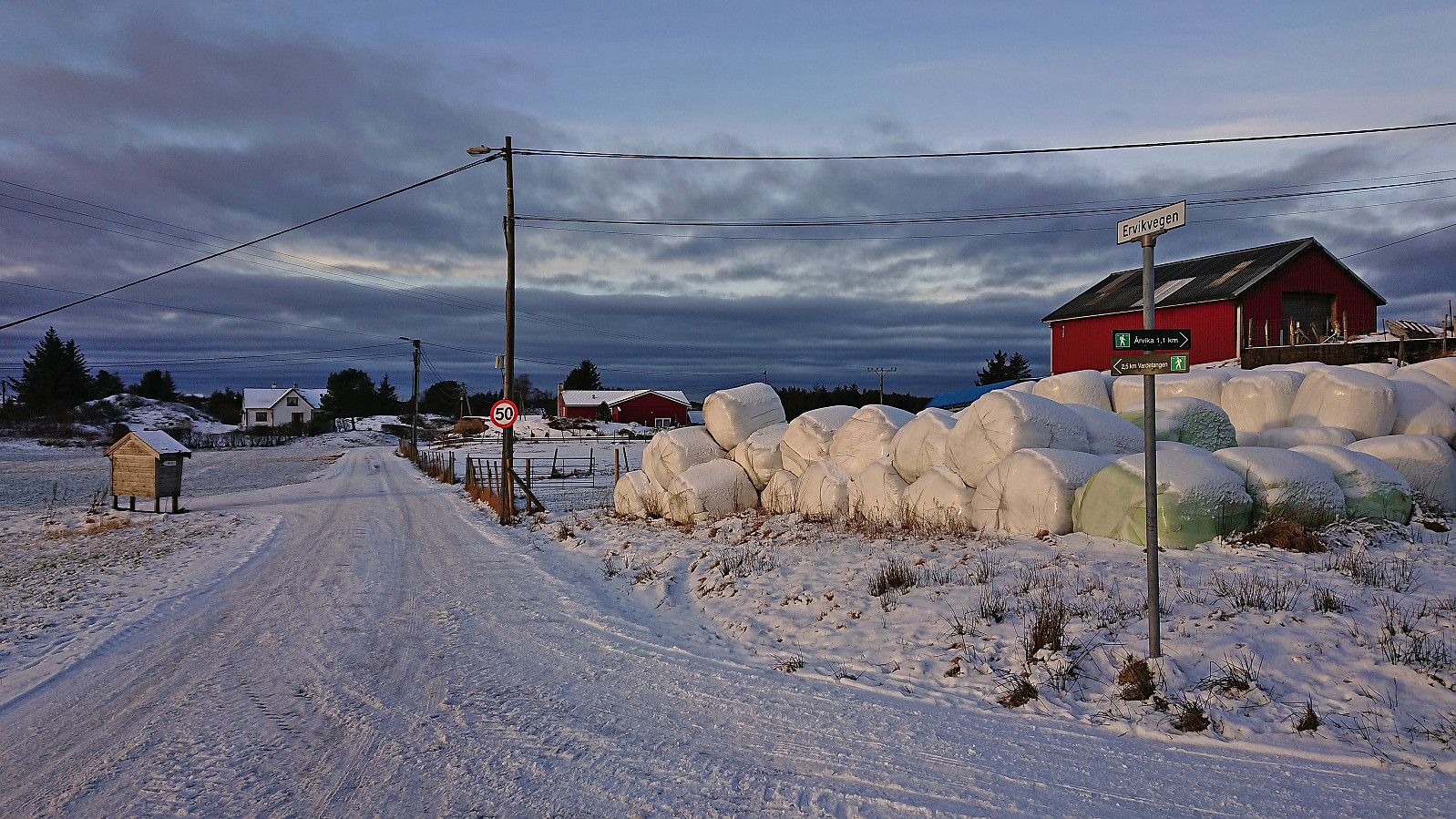
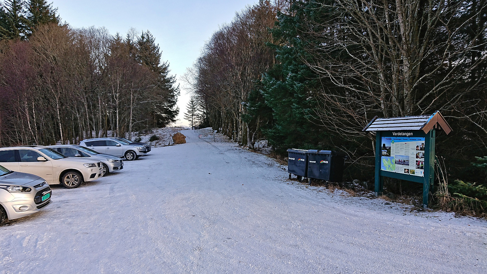
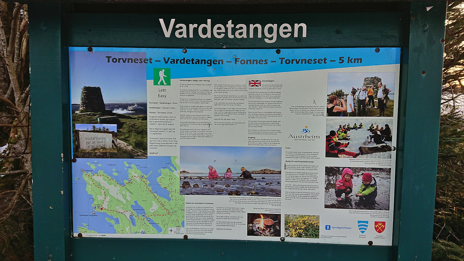
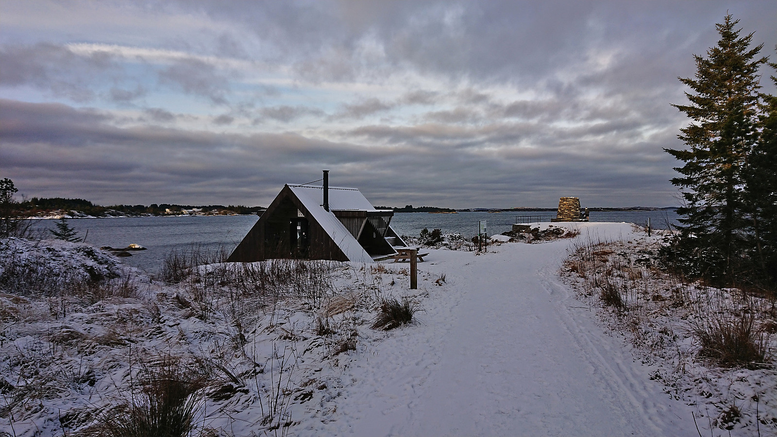
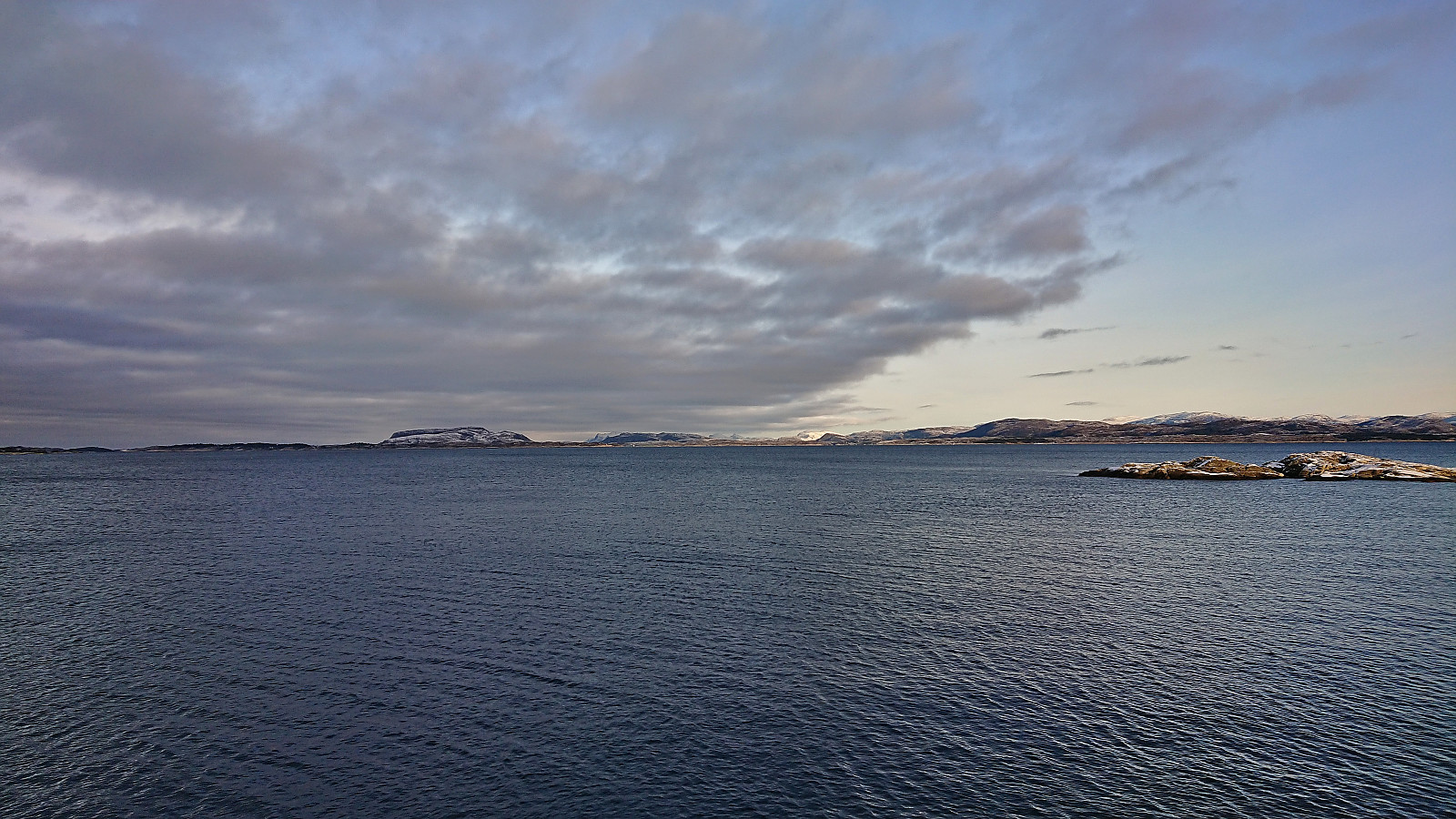
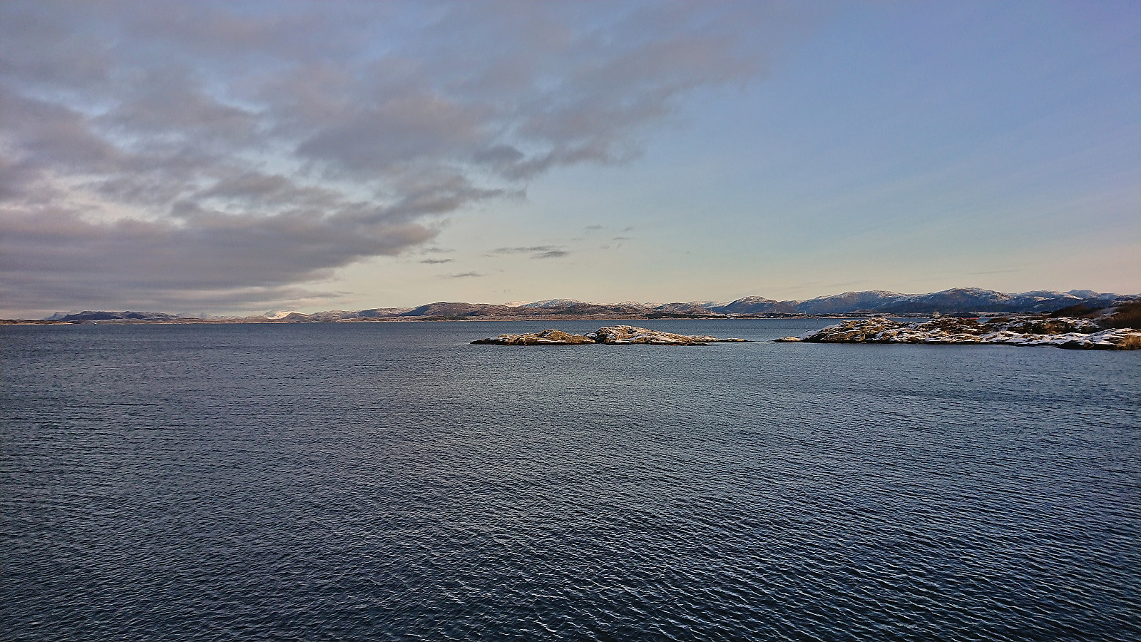
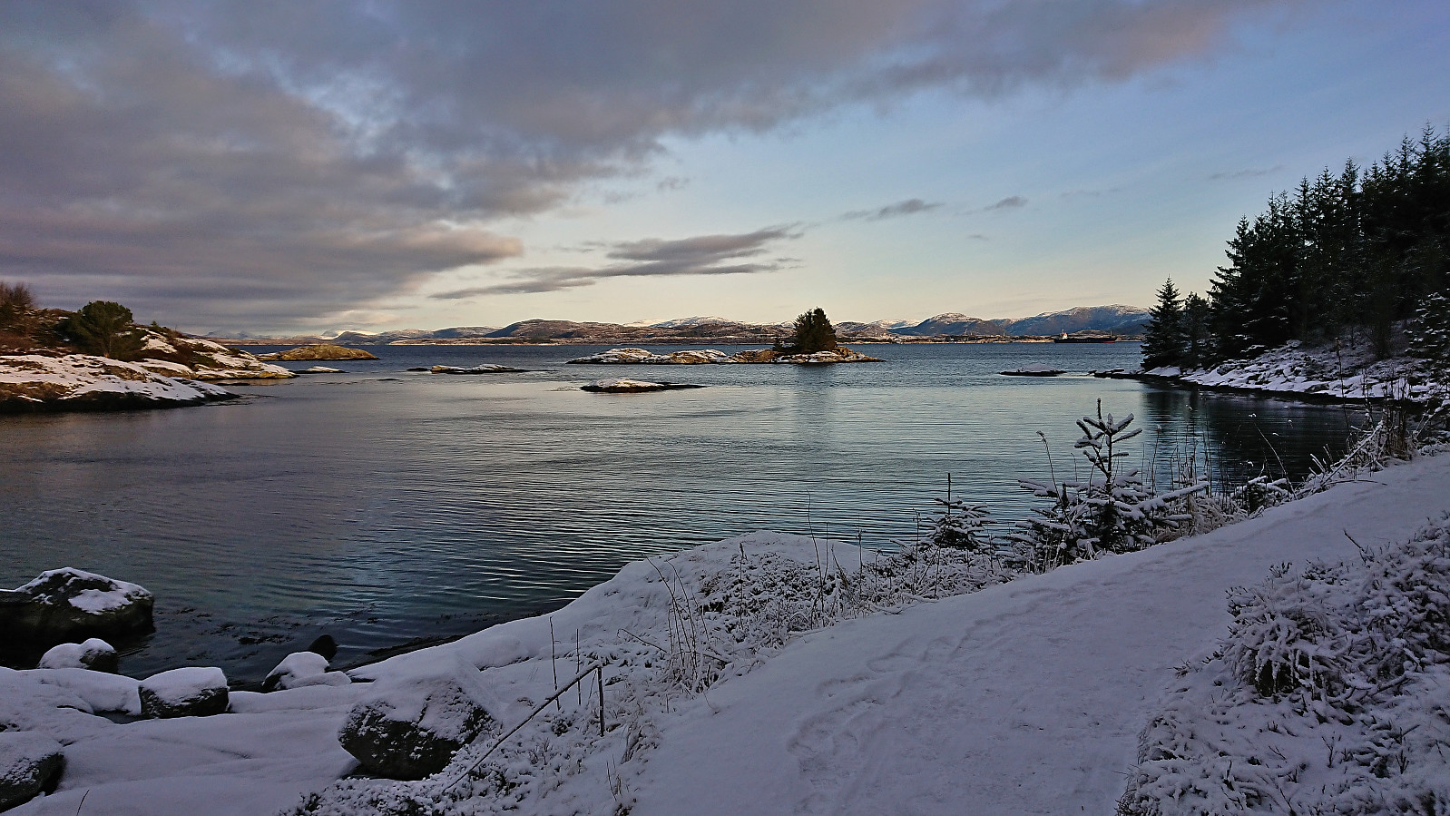
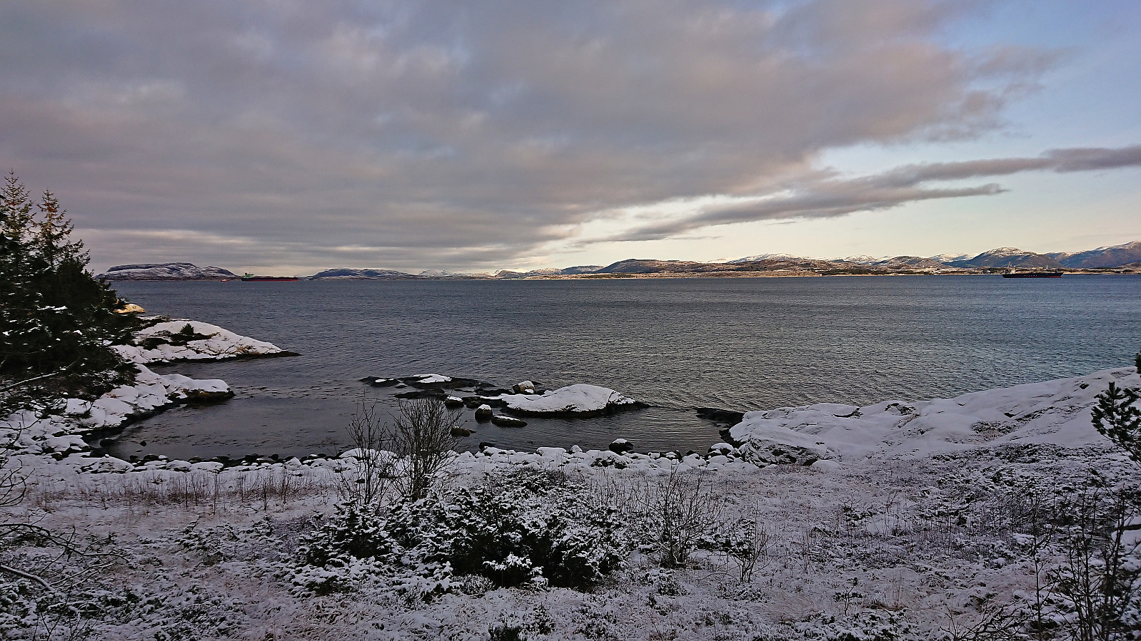
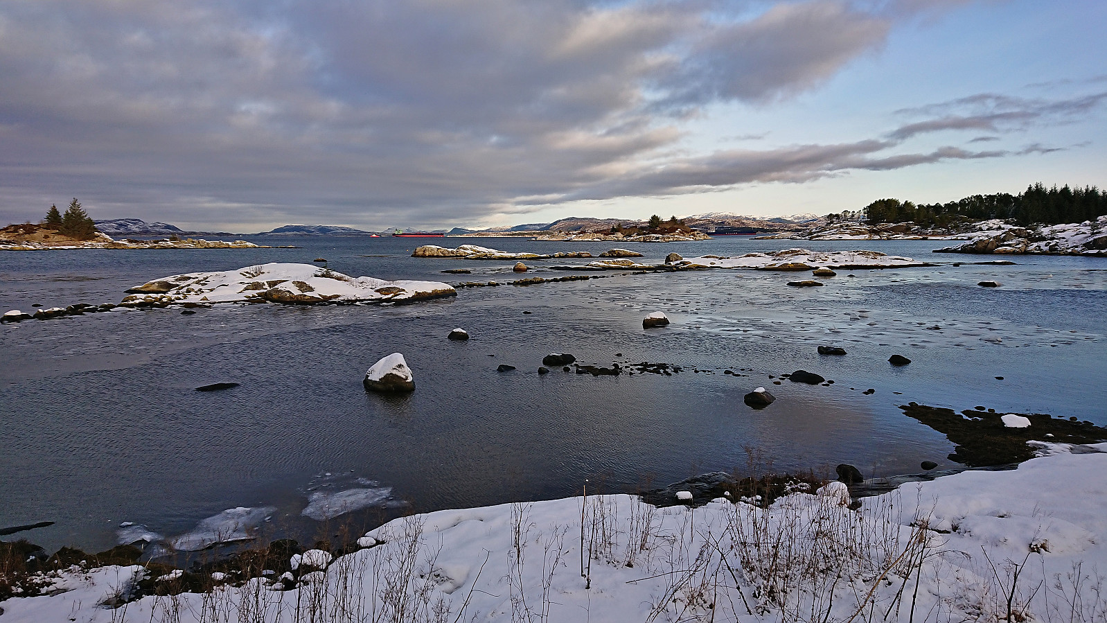
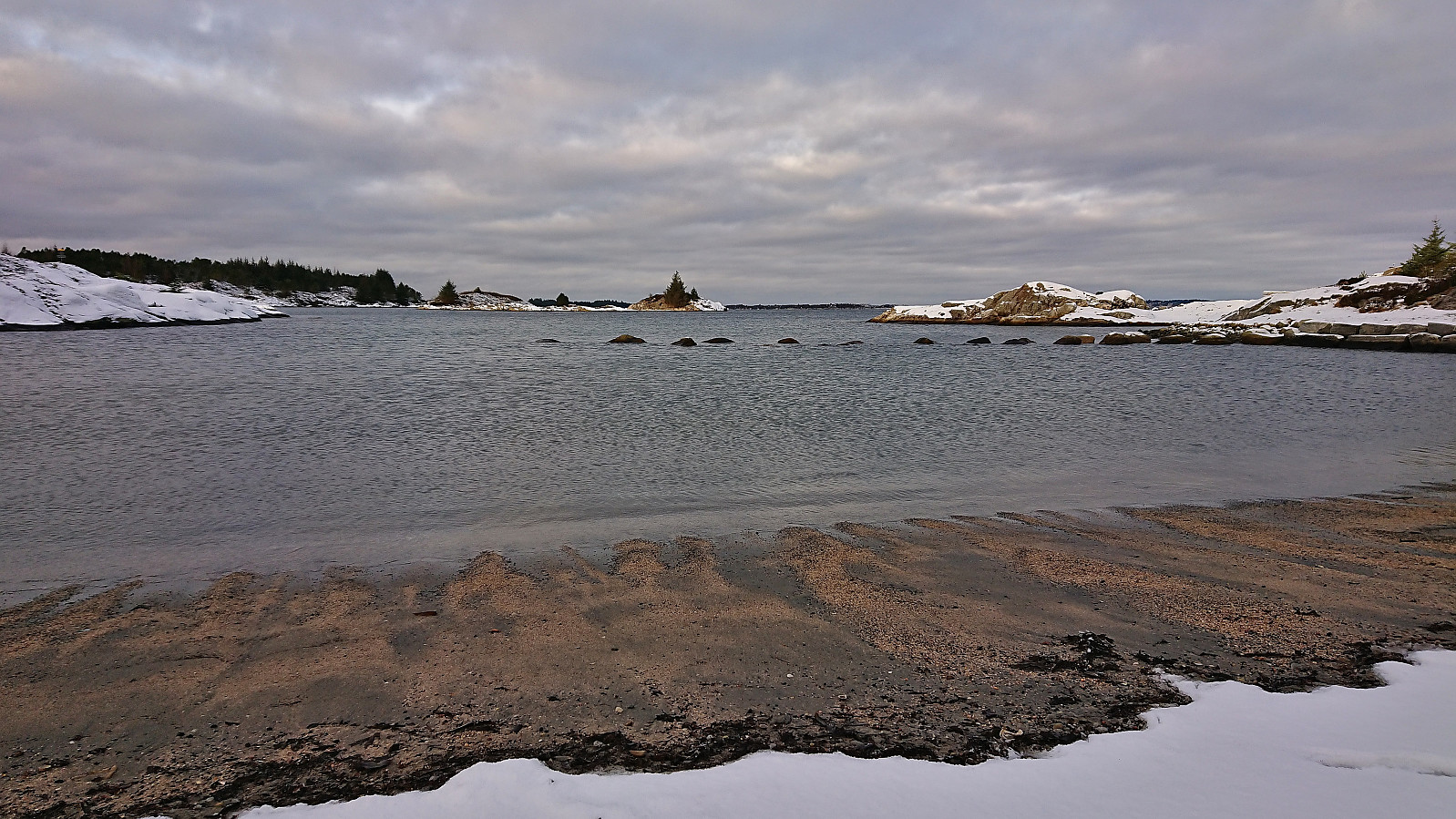
I took the bus to Fonnes and from there followed the suggested roundtrip via Vardetangen and Årvika. Overall a very nice hike along either roads with limited traffic or gravel-covered hiking paths. Excellent views along the way and from the westernmost mainland point in Norway. Highly recommended!
| Start date | 21.01.2023 10:41 (UTC+01:00) |
| End date | 21.01.2023 11:52 (UTC+01:00) |
| Total Time | 1h 10min |
| Moving Time | 1h 10min |
| Stopped Time | 0h 0min |
| Overall Average | 4.7km/h |
| Moving Average | 4.7km/h |
| Distance | 5.5km |
| Vertical meters | 87m |


User comments