
Torefjell from Steinsdalsfossen via Raudnos (19.11.2022)

Geschrieben von hbar (Harald Barsnes)

| Startpunkt | Øvsthus/Steinsdalsfossen (8m) |
|---|---|
| Endpunkt | Øvsthus/Steinsdalsfossen (8m) |
| Tourcharakter | Bergtour |
| Tourlänge | 5h 24min |
| Entfernung | 15,6km |
| Höhenmeter | 1.167m |
| GPS |
|
| Besteigungen | Raudnos (322m) | 19.11.2022 |
|---|---|---|
| Torefjellet (1.050m) | 19.11.2022 | |
| Besuche anderer PBE | Børasteinen (879m) | 19.11.2022 |
| Raudnos utsiktspunkt (307m) | 19.11.2022 | |
| Steinsdalsfossen (45m) | 19.11.2022 |
Torefjell from Steinsdalsfossen via Raudnos
Most, if not all, of the previous visits of Torefjell seemed to have started from Sjusete. Getting to Sjusete without a car would however require a rather boring walk along the roads up from Norheimsund. When looking for other options, I came across this suggested hike from Steinsdalsfossen to Raudnos, which also indicated that it was possible to get to Raudnos via trails from the northeast. This would only leave the short distance from the gravel road south of Alkleiv up to Forsete and I would be on the standard trail to Torefjell. The map did not indicate any trail there, but I was pretty confident that one would turn up.
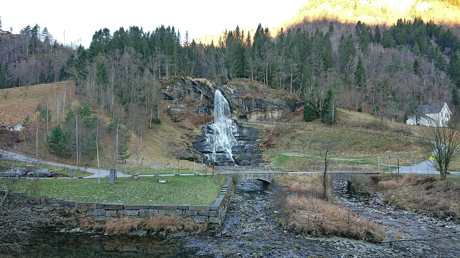
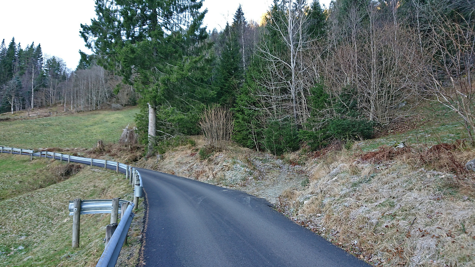
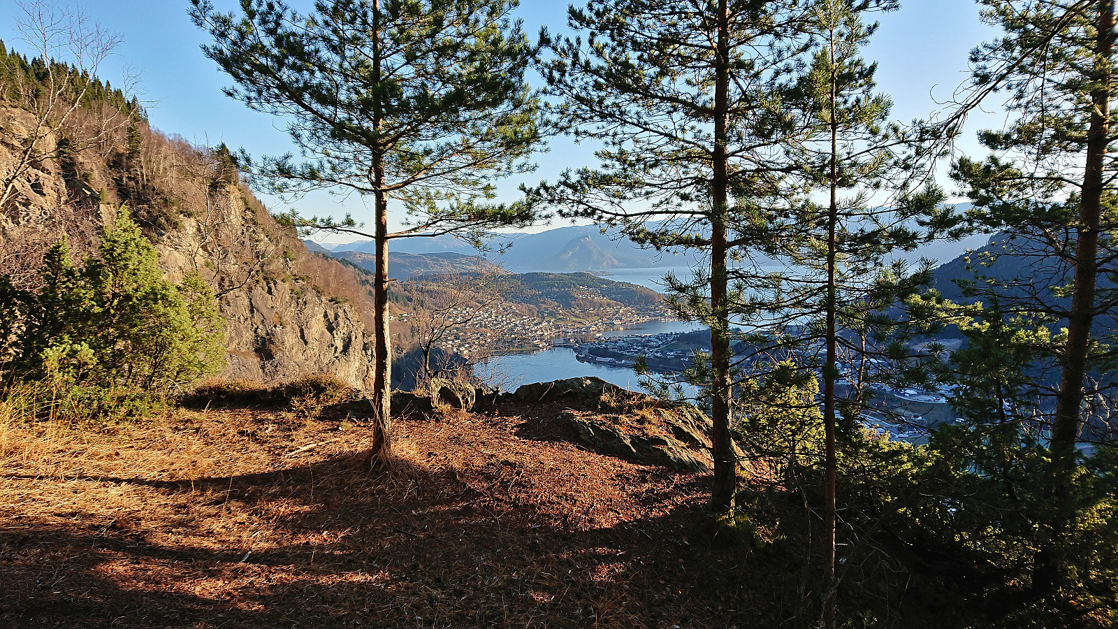
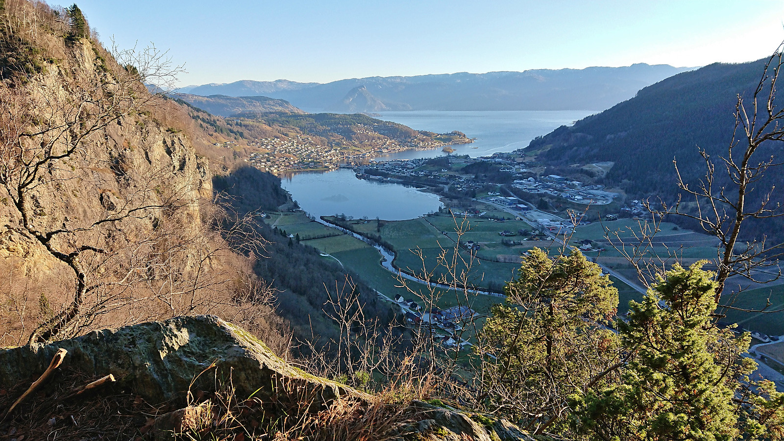
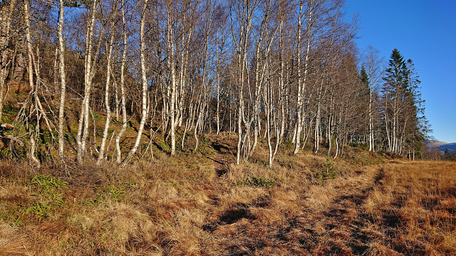
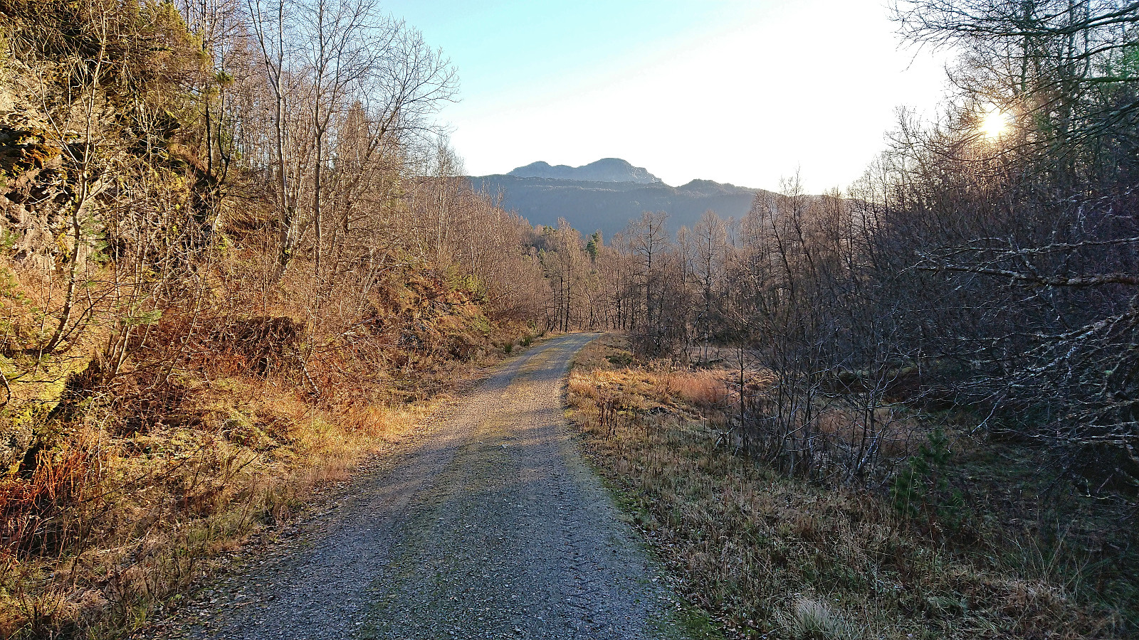
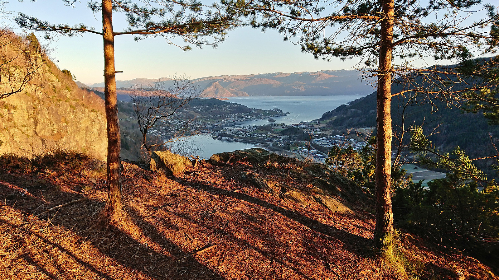
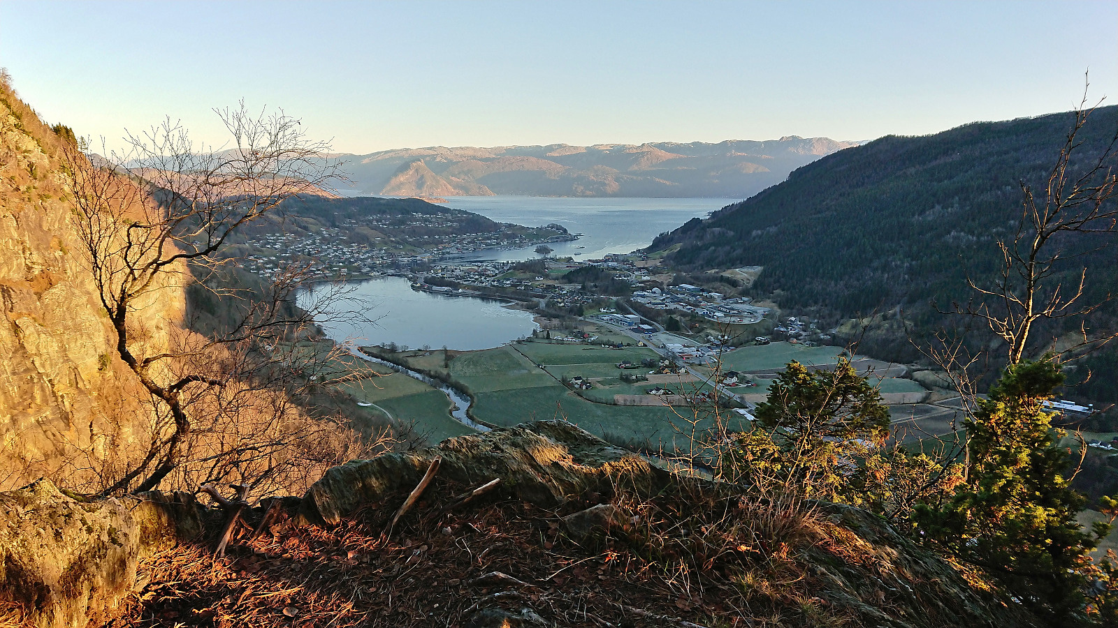
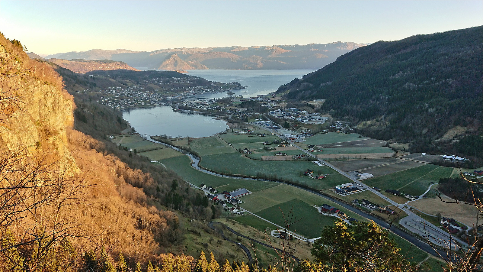
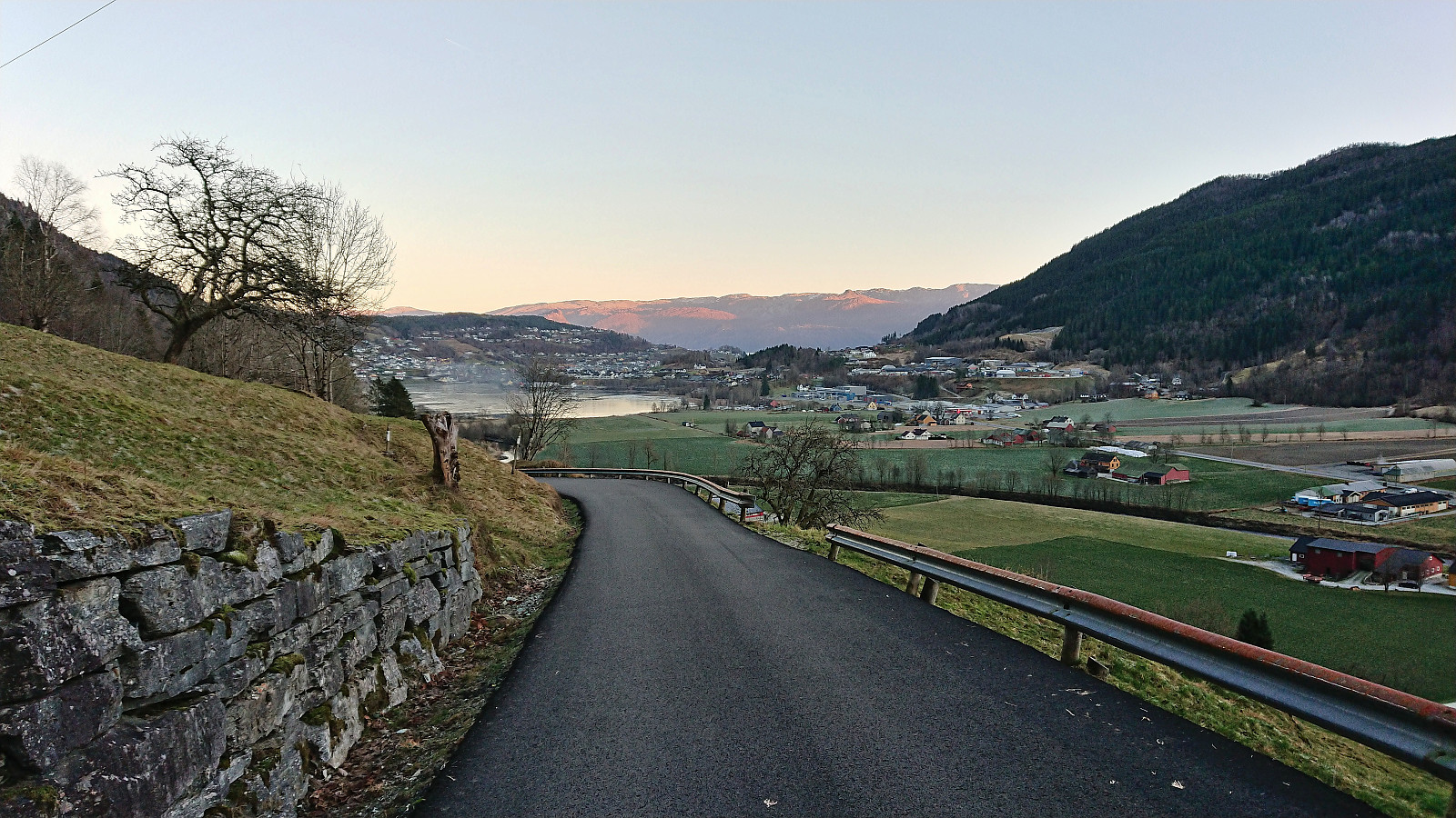
With the plan decided upon, I took the bus to Øvsthus and got off at the stop named after the popular waterfall of Steinsdalsfossen. Similar to my visit of Steinsdalsfossen at the start of April, the famous walk behind the waterfall was closed due to ice, and I instead followed the paved road up towards Rosseland. I however soon left the road and continued on a tractor road next to Fosselva. Note that there were no hiking signs at the start of the tractor road, nor at the later unmarked trailhead for Raudnos, but the excellent viewpoint was still easily located and well worth a visit.
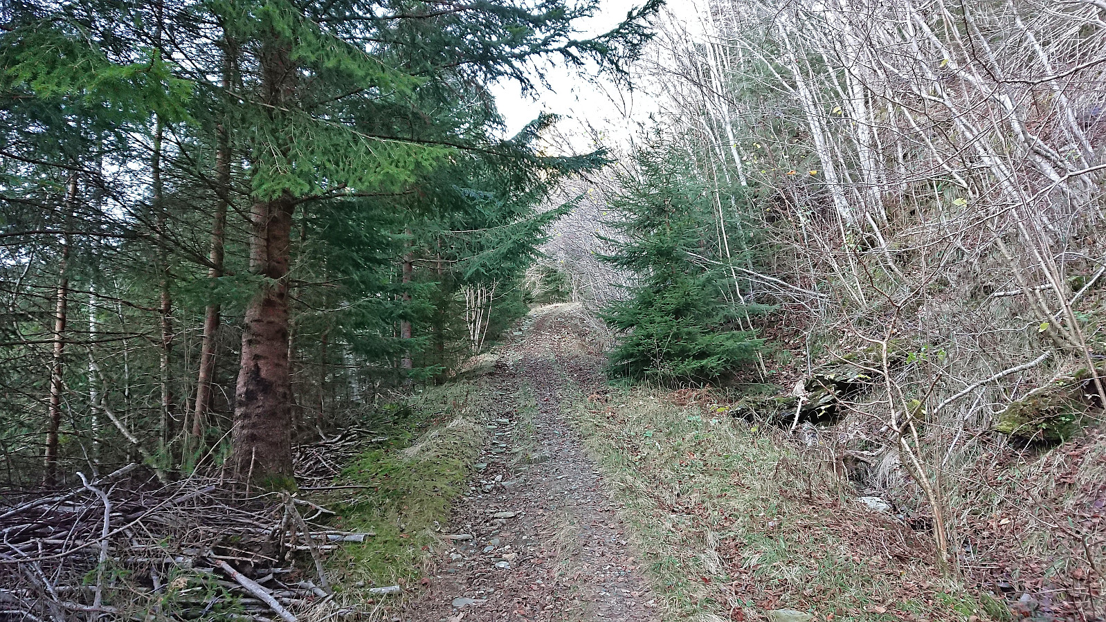
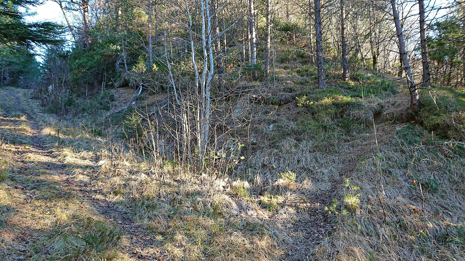
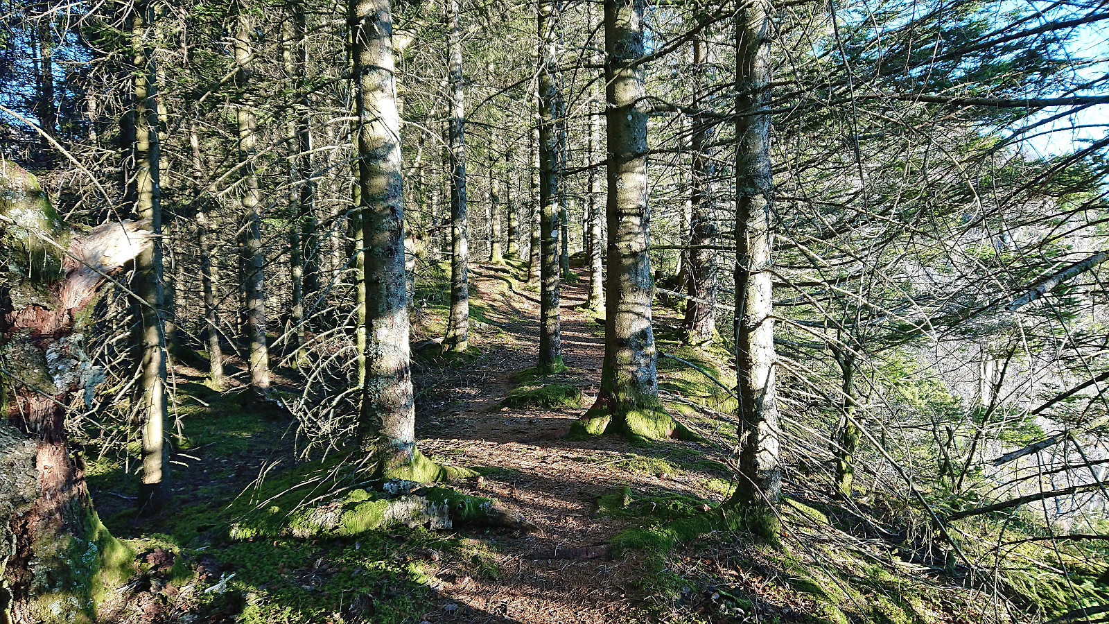
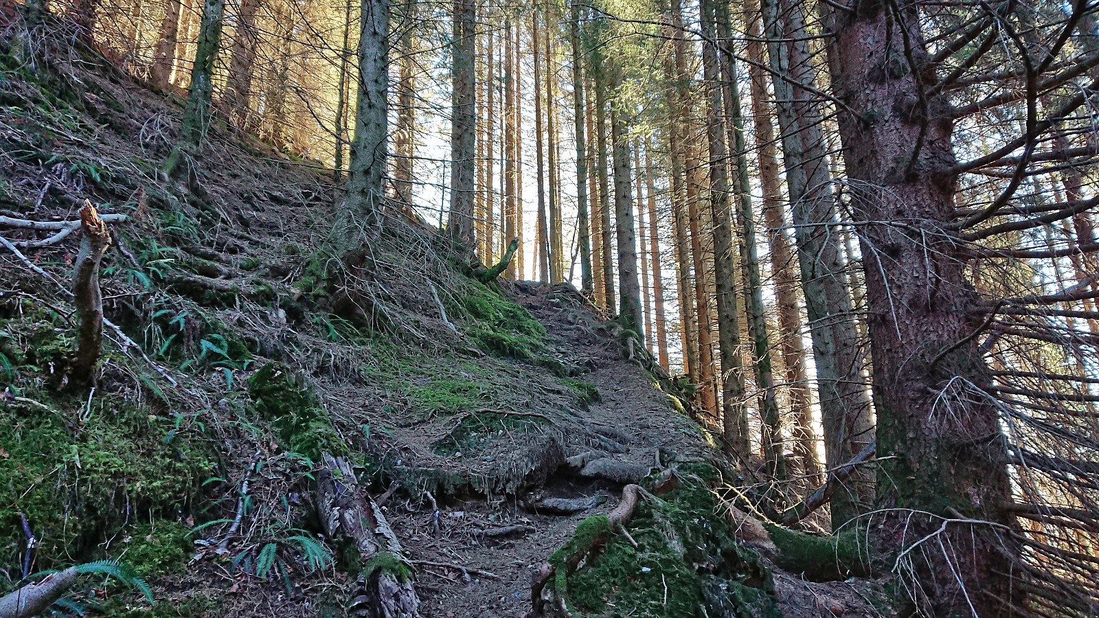
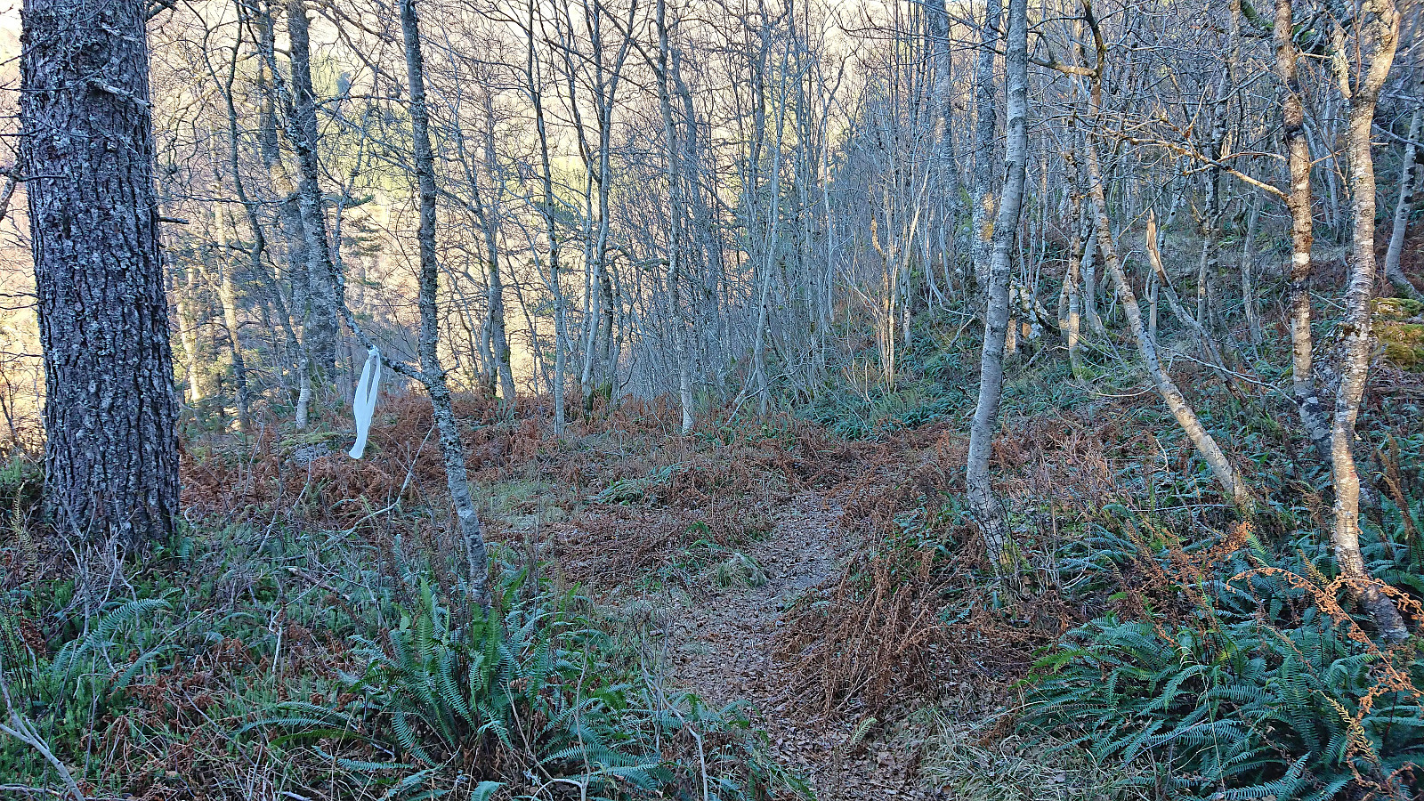
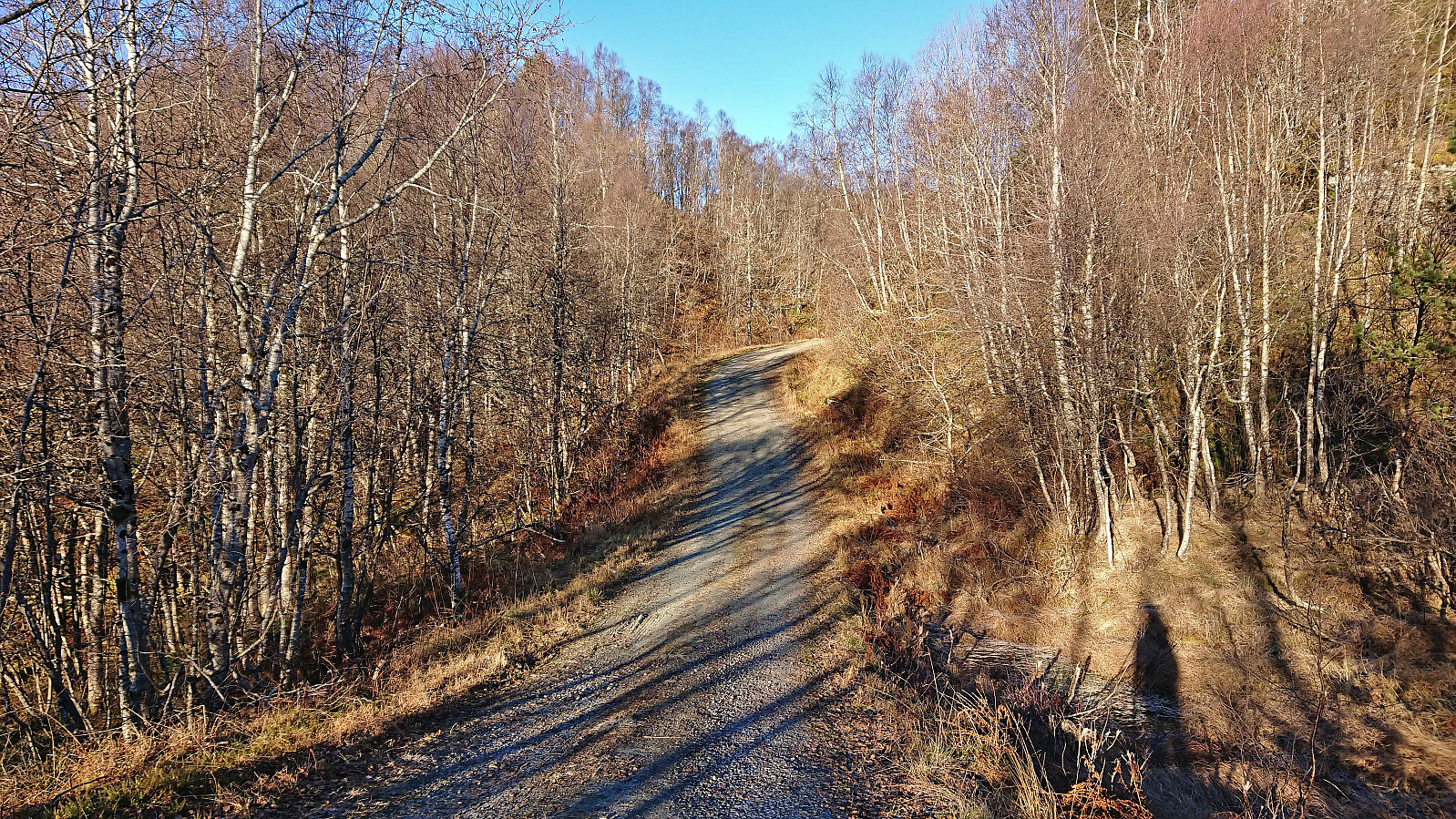
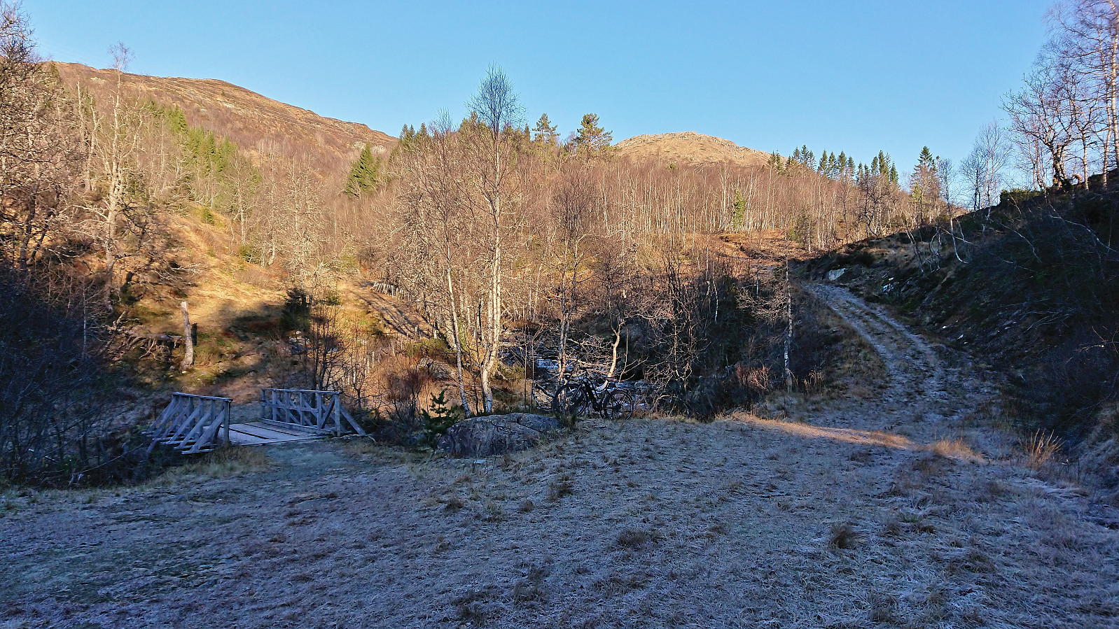
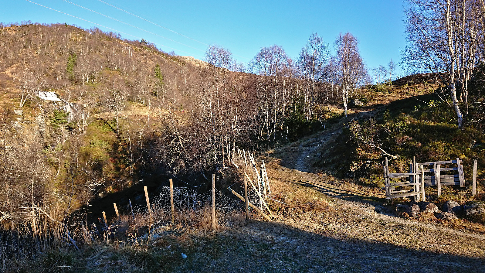
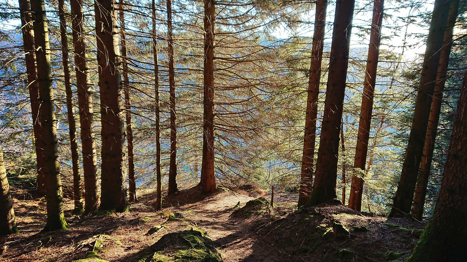
The trail continued northeast along the ridge until reconnecting with the tractor road. Here the tractor road came to an end and I followed an unmarked trail north. Later I would come across a trail marked with the occasional white plastic ribbon, but except for maybe one or two spots, the trail was in any case easy to follow and I soon arrived at the gravel road south of Alkleiv. When the gravel road reached the bridge to Alkleiv, I left the road and instead continued north where I, as expected, shortly came across a trail that would take me up to the end of the tractor road at Forsete. No signs or trail markers here either, but the direction was pretty obvious anyway.
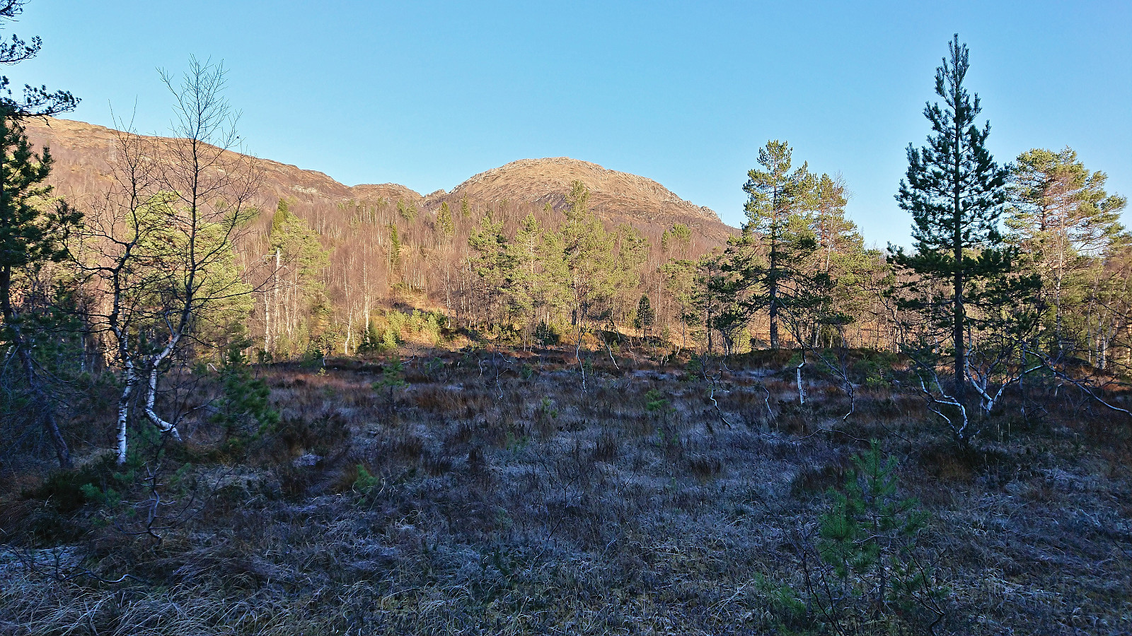
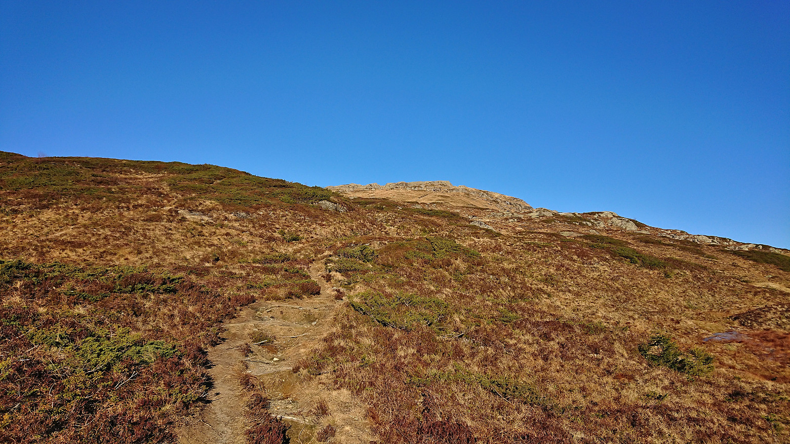
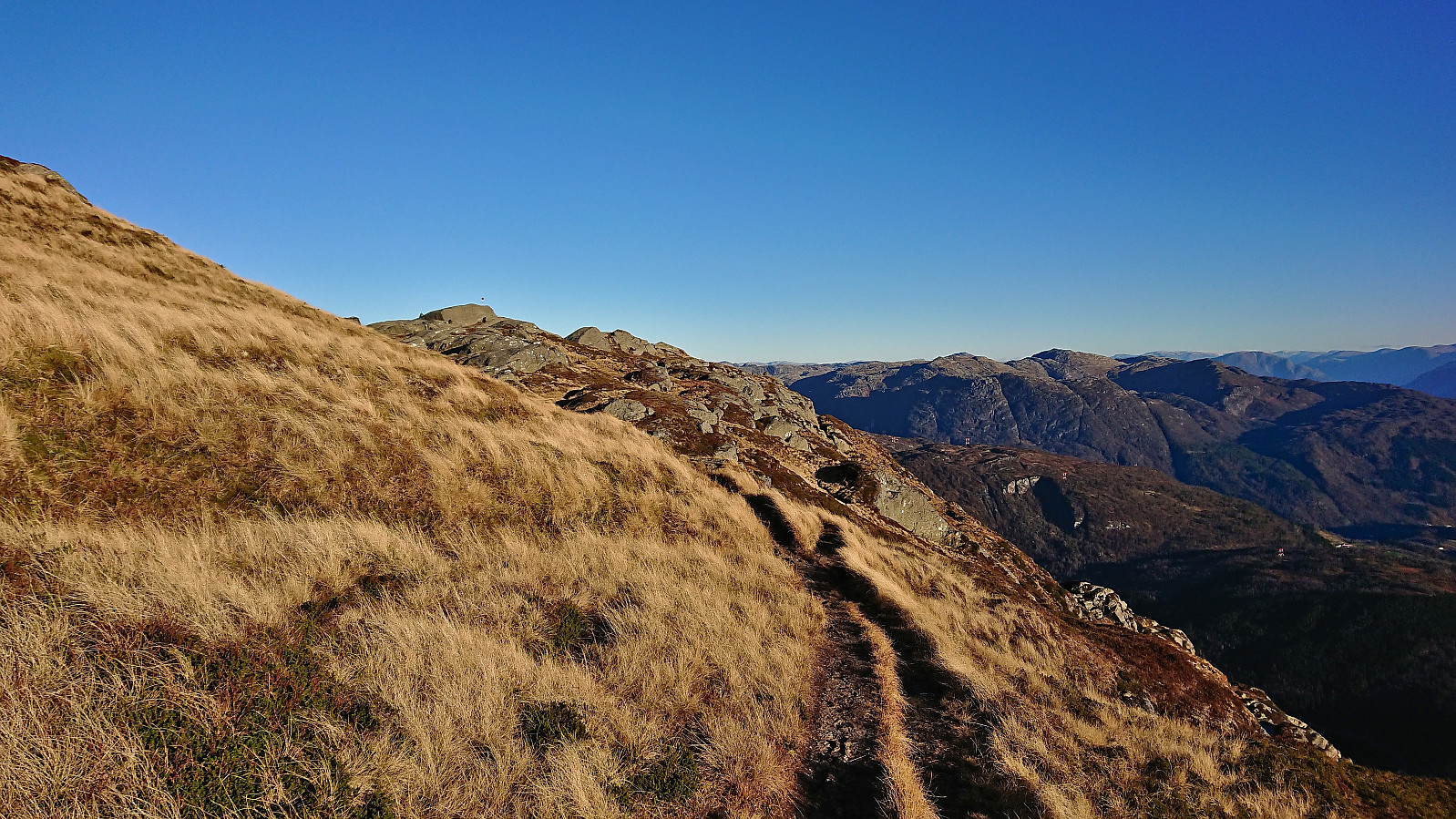
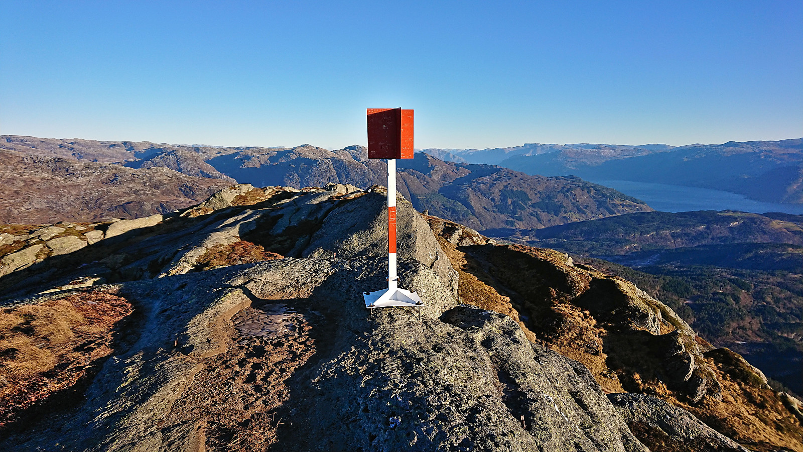
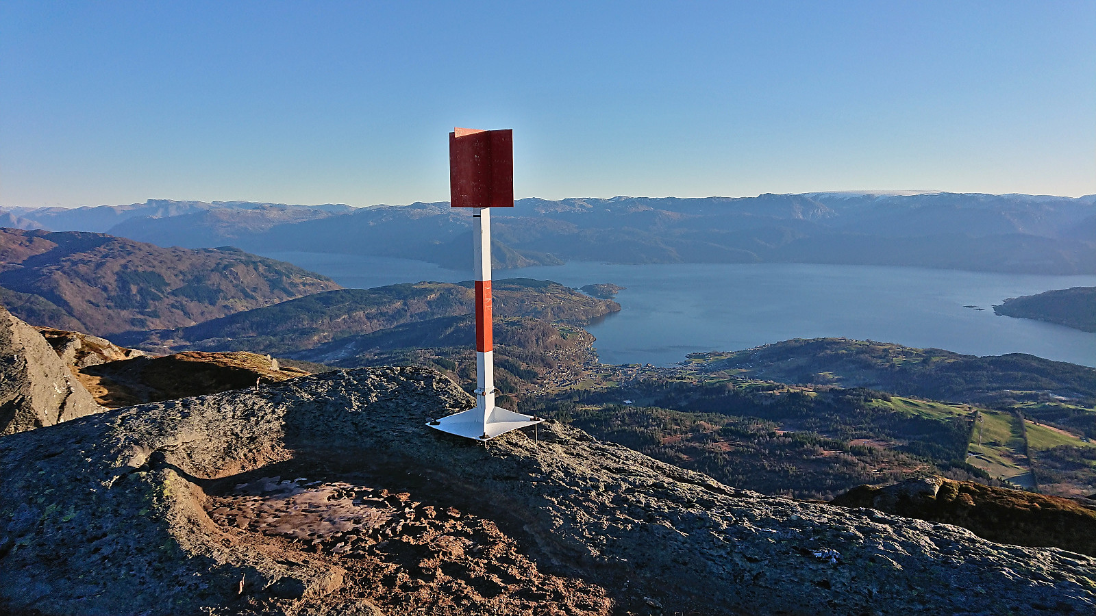
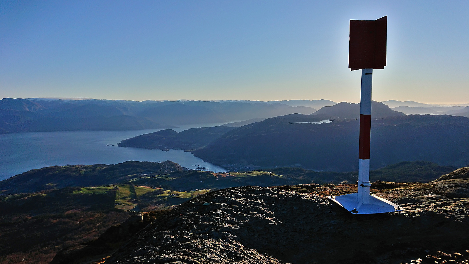
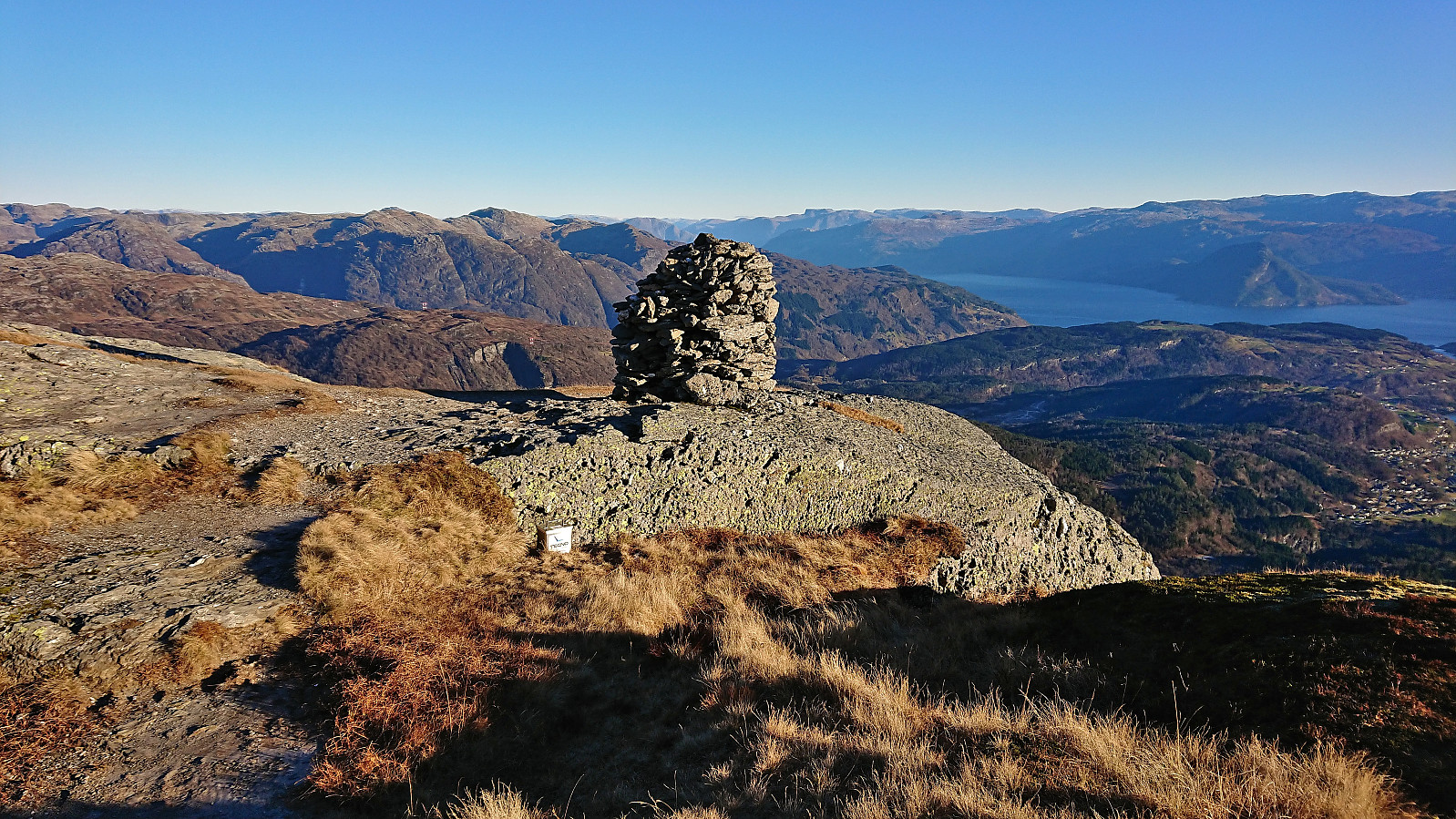
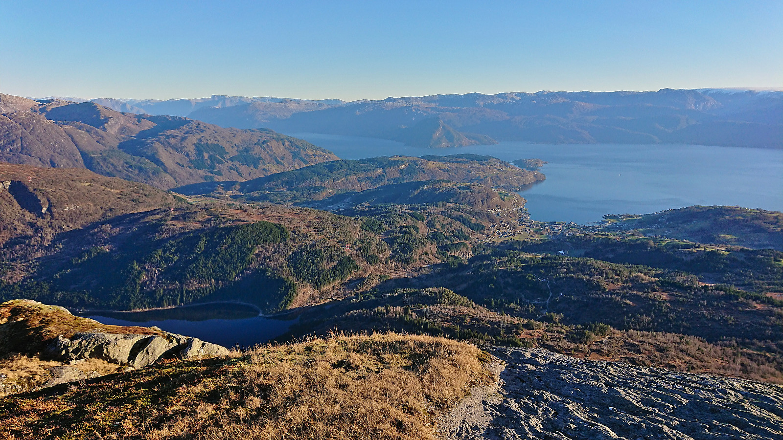
All that was left was now to follow the standard route to Torefjell. The final ascent before the terrain levelled off for the final 500 meters or so was steeper than it looked from a distance. There were also lots of small patches of ice requiring extra attention. But in the end the summit was reached without any issues and provided excellent views in all directions. After the mandatory summit pictures, I continued the short distance east to the large cairn where I could also look down at the southern end of Fitjadalsvatnet.
I returned along the same route, even making a second visit of Raudnos where I took a short break in order to reduce the waiting time at the bus stop by the main road. A closer look at Steinsdalsfossen later on was also included, resulting in only having to wait around 15 minutes for the bus to show up and take me back to Bergen.
To conclude, an excellent hike with spectacular views that can be very highly recommended. A visit of Raudnos on its own can also definitely be recommended if visiting Steinsdalsfossen and wanting a slightly longer hike. And if you want to avoid the steep shortcut from the southwest, you can simply follow the tractor road to north of the viewpoint and then head south from there.


| Startzeitpunkt | 19.11.2022 10:22 (UTC+01:00) |
| Endzeitpunkt | 19.11.2022 15:46 (UTC+01:00) |
| Gesamtzeit | 5h 24min |
| Zeit in Bewegung | 4h 42min |
| Pausenzeit | 0h 41min |
| Gesamtschnitt | 2,9km/h |
| Bewegungsschnitt | 3,3km/h |
| Entfernung | 15,6km |
| Höhenmeter | 1.166m |


Benutzerkommentare