
Ben Arthur & Beinn Narnain (10.06.2012)

Geschrieben von Bekki (Rebekka Holmgaard)
| Startpunkt | Arrochar (6m) |
|---|---|
| Endpunkt | Old military Road (A83) (91m) |
| Tourcharakter | Bergtour |
| Tourlänge | 5h 06min |
| Entfernung | 15,9km |
| Höhenmeter | 1.183m |
| GPS |
|
| Besteigungen | Beinn Narnain (927m) | 10.06.2012 |
|---|---|---|
| The Cobbler (884m) | 10.06.2012 | |
| The Cobbler North Peak (870m) | 10.06.2012 |
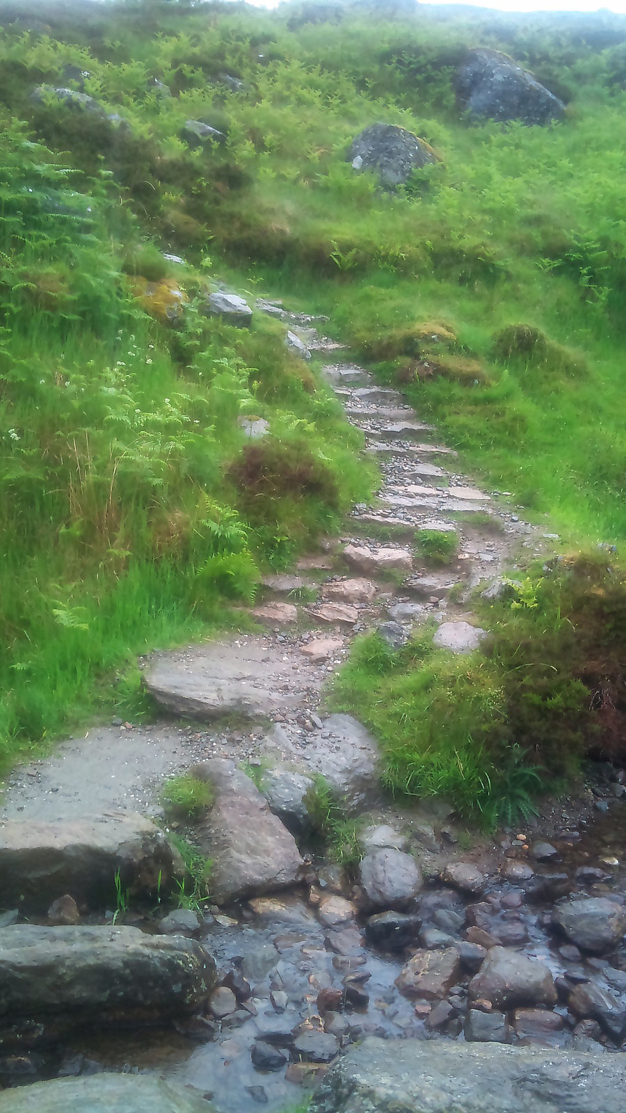
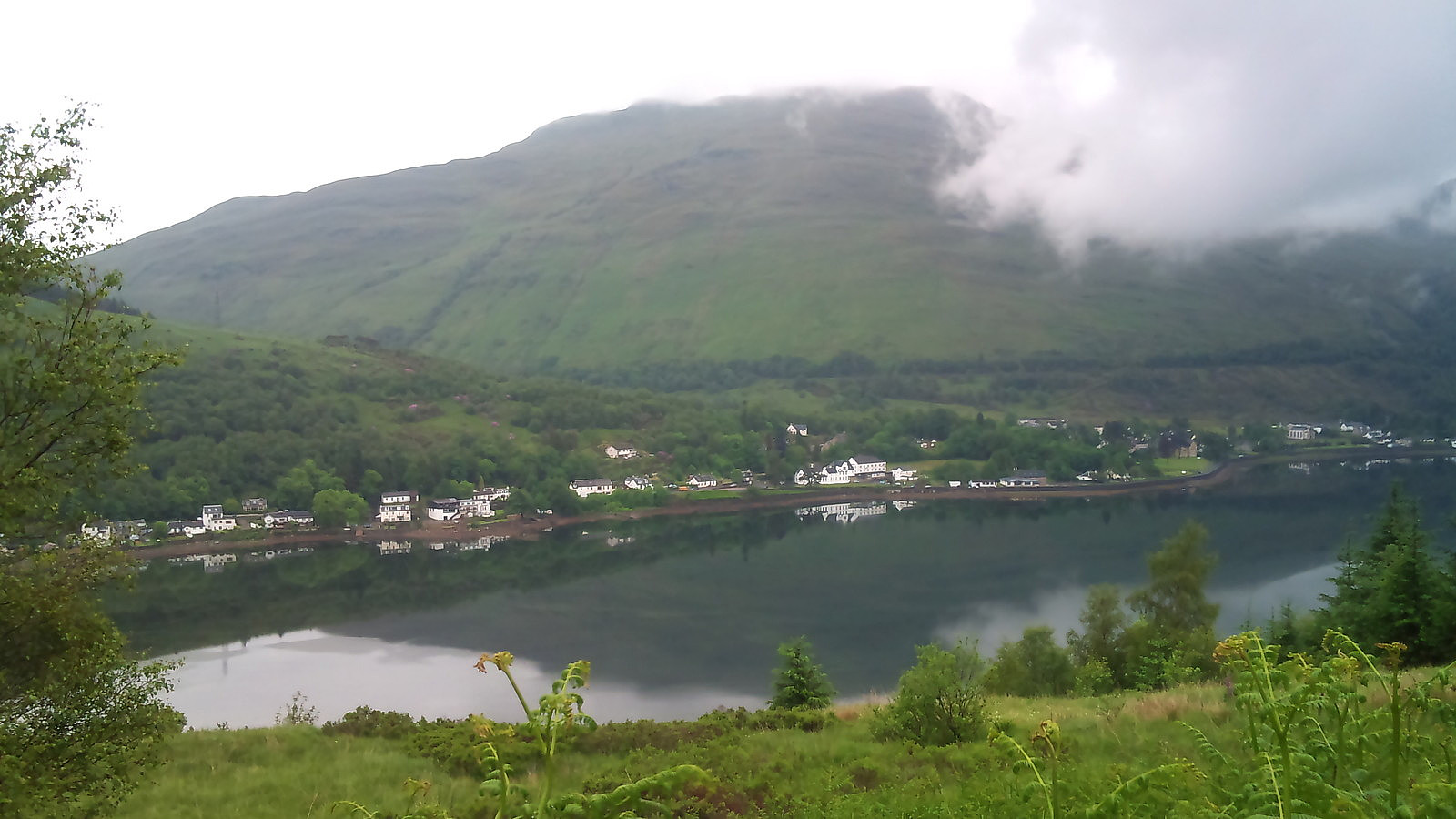
Started out from the hotell in Arrochar heading for the munro mountains of Beinn Narnain and Beinn Ìme. After a short walk from the village of Arrochar there is a good footh path up the mountain pass between Ben Arthur and Beinn Narnain, gaining some hundreds of meters in height before approaching the routes to the mountain tops themselves. While I even spotted a few rays from the sun when starting out, the weather steadily went on to light rain and fog. Happily I found a natural shelter under a huge boulder along the road where I could stop and eat some snacks before moving on.
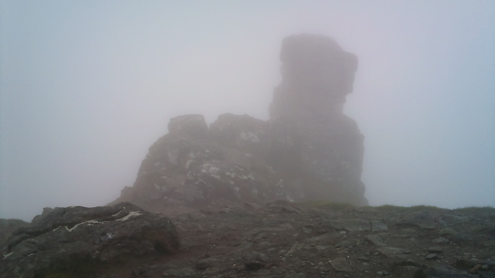
Ben Arthur, or The Cobbler, is one of those popular mountains everyone talks about, so I thought it might be worth getting up there, the top being so close to Beinn Narnain. After a bit of walking and light scrambling I finally reached the main and north tops of Ben Arthur, which are really quite close to each other, with a well walked path in between them. Reaching this point, the fog was thick enough to prevent me from seeing more than 10 or 20 metres ahead. I'm sure there would have been a lovely view of the surrounding mountains on a sunny day, but I had to contend myself with watching the small visible bits as as the fog drifted in the wind.
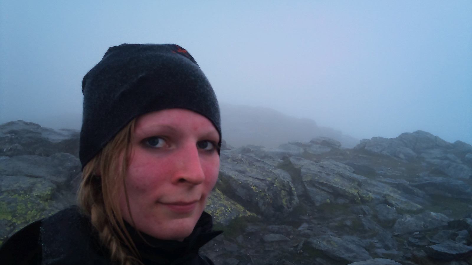
After a little photo session amongst the clouds it was time to move on and descend down to the pass and onwards to Beinn Narnain. By this time it was so foggy I couldn't even find the path leading up to the next summit, so I had to navigate by compass and checking the GPS on my mobile every now and then to get some sort of bearing. For a mountain that was basically standing right before me! When finally reaching the top, it was even more cloudy than before. I simply reached the cairn at the top, finding the fog as think as ever, and decided to give it a try to move on towards Beinn Ìme, the highest mountain in the area.
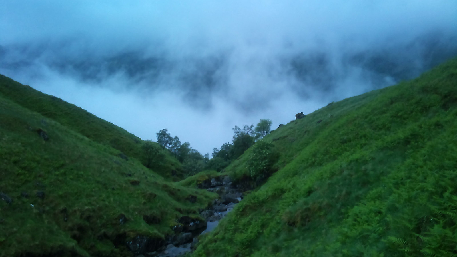
Fate, however seemed to have other plans for me. After a few attempts to find the path, or at least a general direction towards the my next summit, I chose to postpone Beinn Ìme to another day of better weather. The bad sight, now worse cause of the setting sun, together with the fact that I lacked height measurer on the GPS, made the choise quite easy to simply find a river I knew led down to the A83 and try my luck hitchhiking back to Arrochar. Said and done. Descended safe and sound I only had to walk about two kilometers along the road until I found someone nice enough to give me a ride back to the village.


Benutzerkommentare