
Kongens utsikt and Abborås from Sundvolden Hotel (29.09.2022)

Geschrieben von hbar (Harald Barsnes)

| Startpunkt | Sundvolden Hotel (74m) |
|---|---|
| Endpunkt | Sundvolden Hotel (74m) |
| Tourcharakter | Bergtour |
| Tourlänge | 2h 39min |
| Entfernung | 10,5km |
| Höhenmeter | 560m |
| GPS |
|
| Besteigungen | Abborås (547m) | 29.09.2022 |
|---|---|---|
| Besuche anderer PBE | Dronningens utsikt (339m) | 29.09.2022 |
| Kleivstua (380m) | 29.09.2022 | |
| Kleivstua utsikt (380m) | 29.09.2022 | |
| Kongens utsikt (455m) | 29.09.2022 | |
| Kongens utsikt - merka sti fra øst (380m) | 29.09.2022 | |
| Kronprinsens utsikt (395m) | 29.09.2022 |
Kongens utsikt and Abborås from Sundvolden Hotel
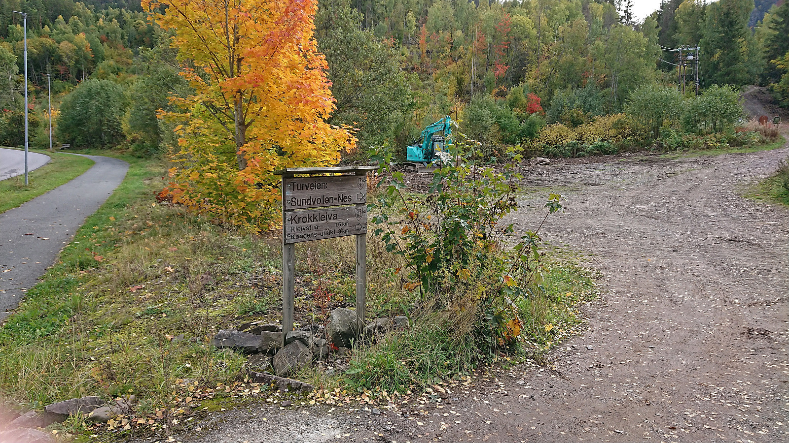
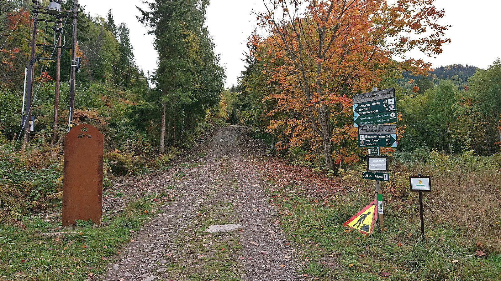
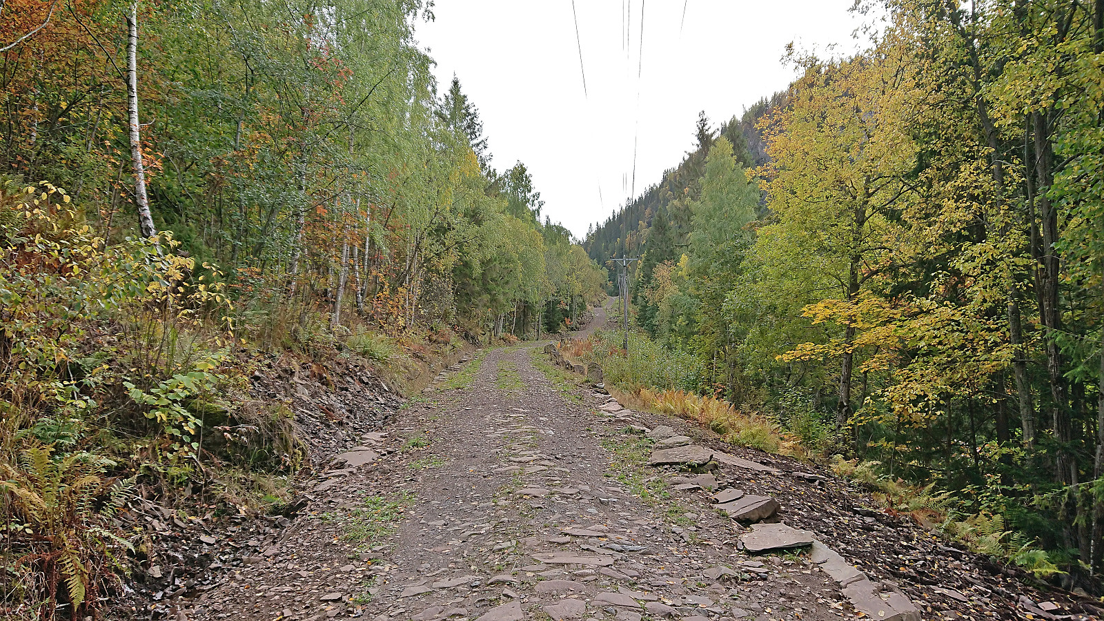
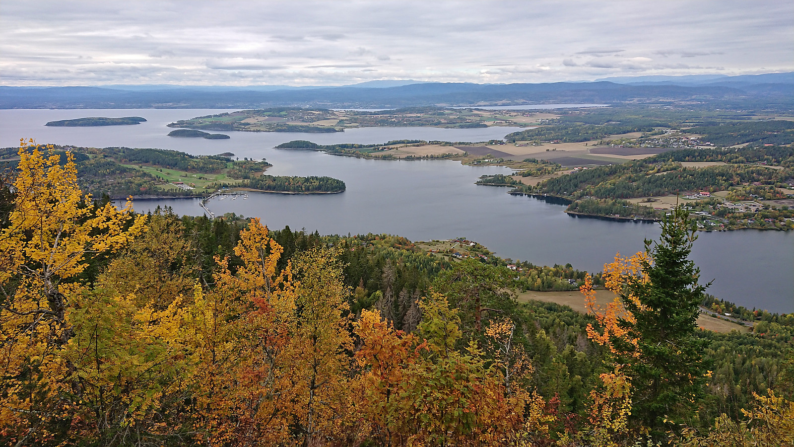
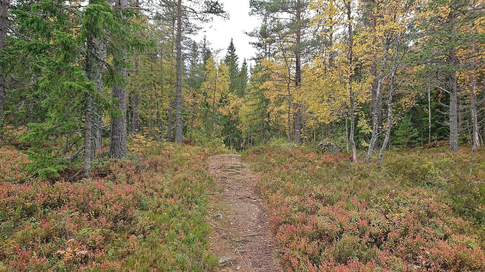
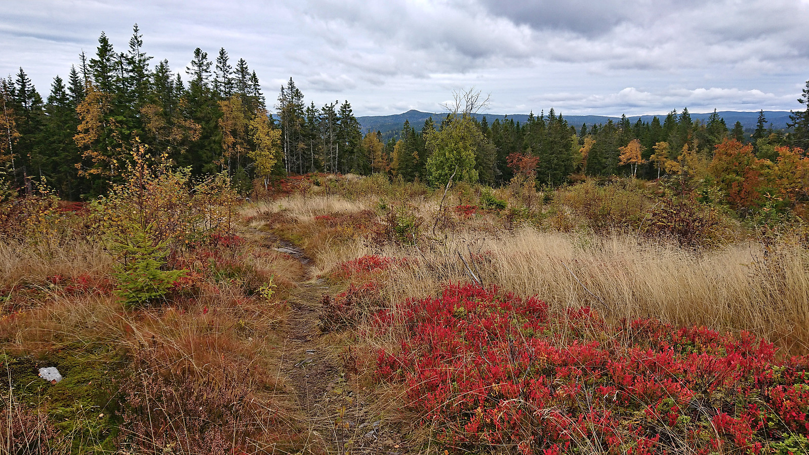
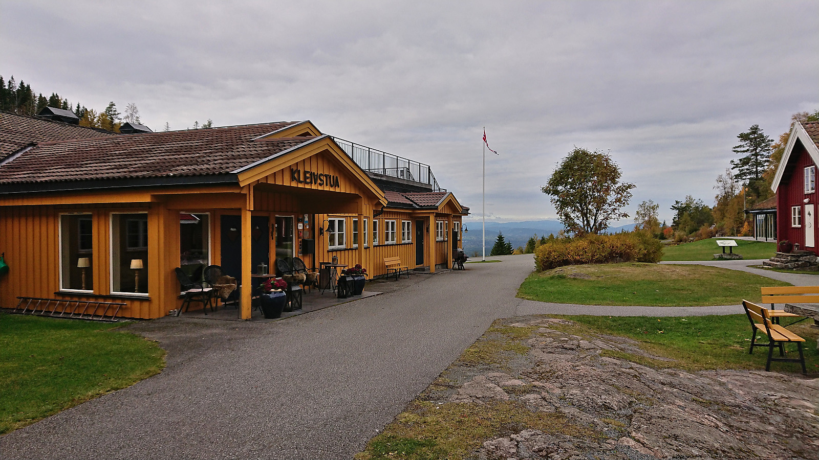
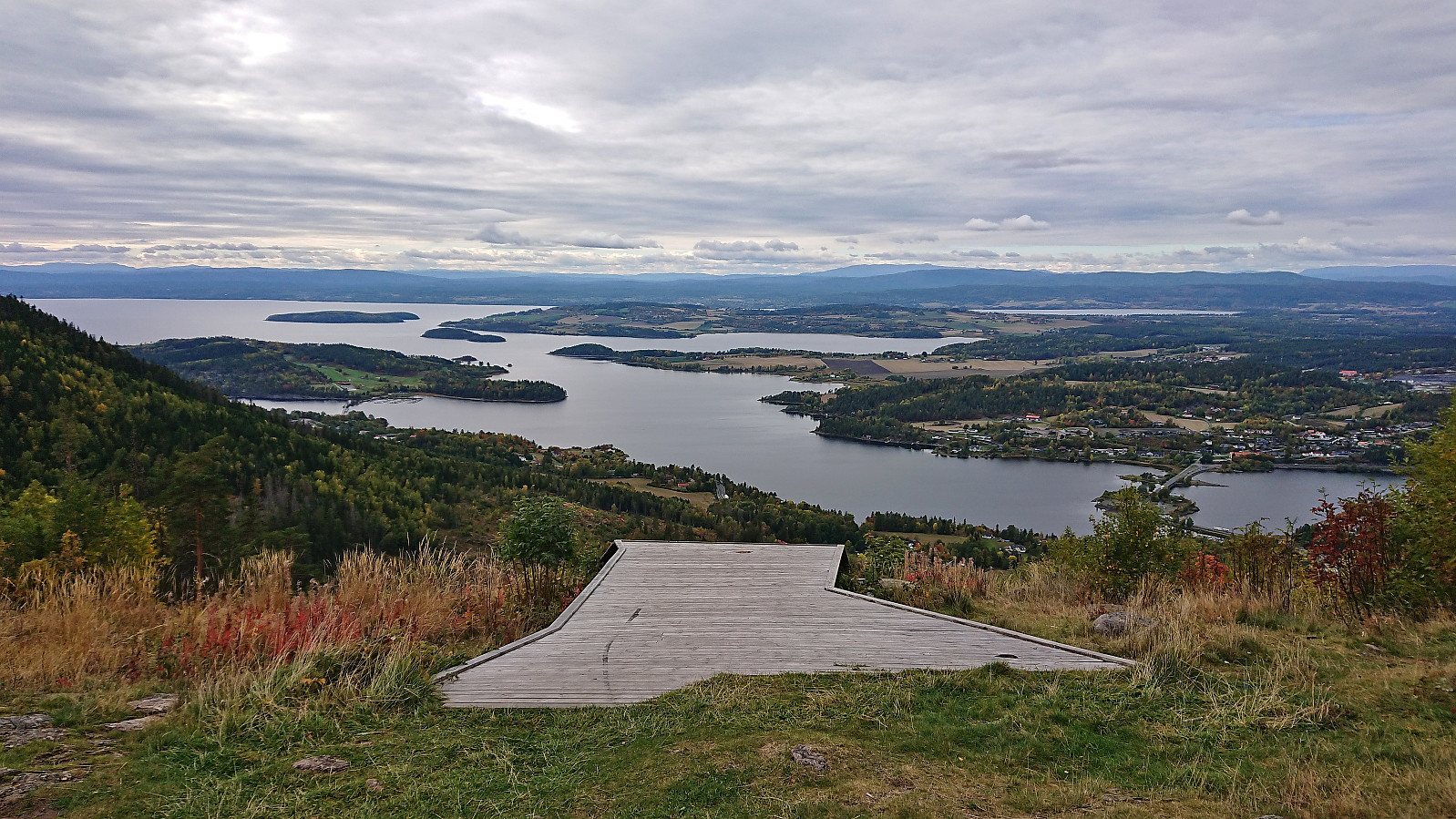
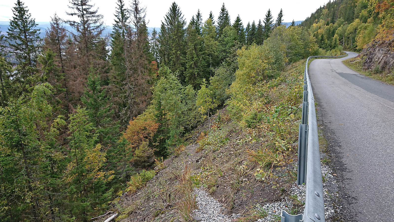
When attending a conference at Sundvolden Hotel, I took a slightly longer break before dinner to check out the views at Kongens utsikt. After a short walk south along the road I arrived at the marked trailhead at Krokkleiva and proceeded to follow the gravel road up to Kleivstua. Here I continued on the marked trail to the excellent views at Kongens utsikt.
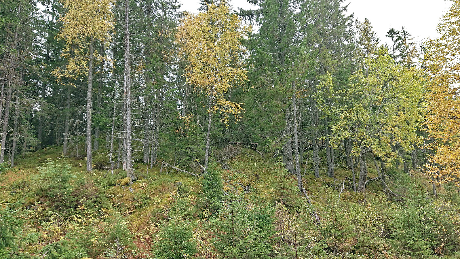
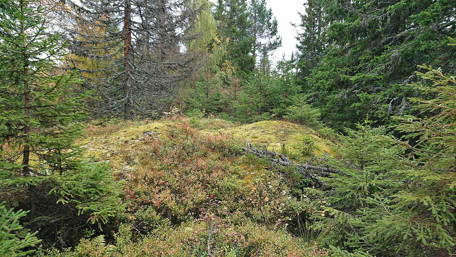
I still had plenty of time before the conference dinner and also made a quick visit of Abboråsen less than 1.5 km to the south. There were trails/tractor roads almost all the way to the highest point, except for the final 100 meters. The summit could thus be easily reached but provided next to no views or other interesting features. I therefore did not stay long before returning to the trail and then heading back to Kleivstua.
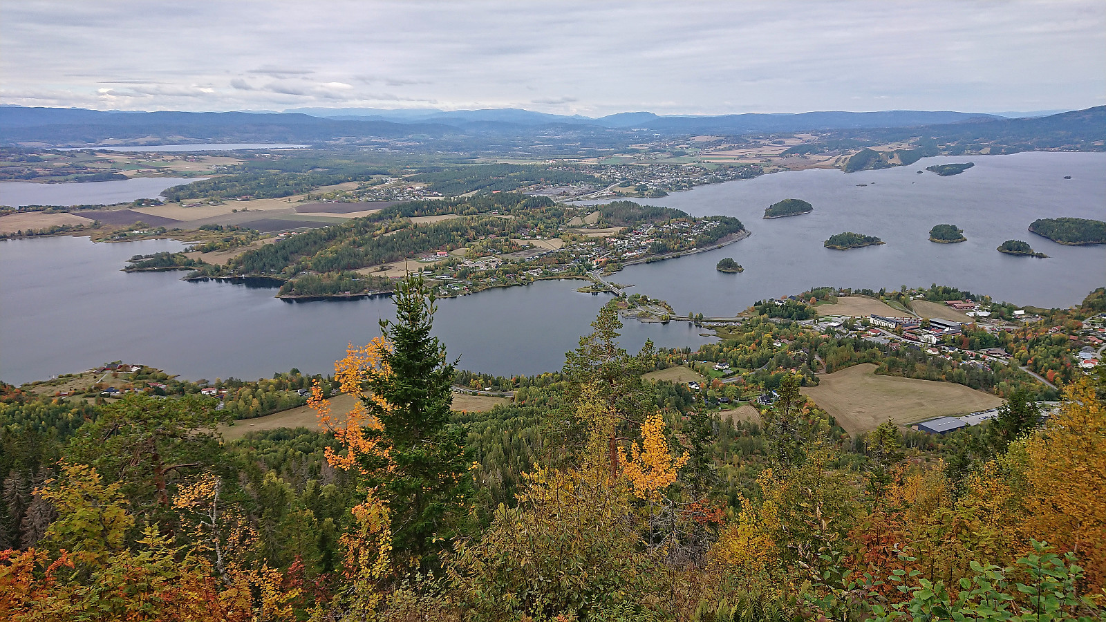
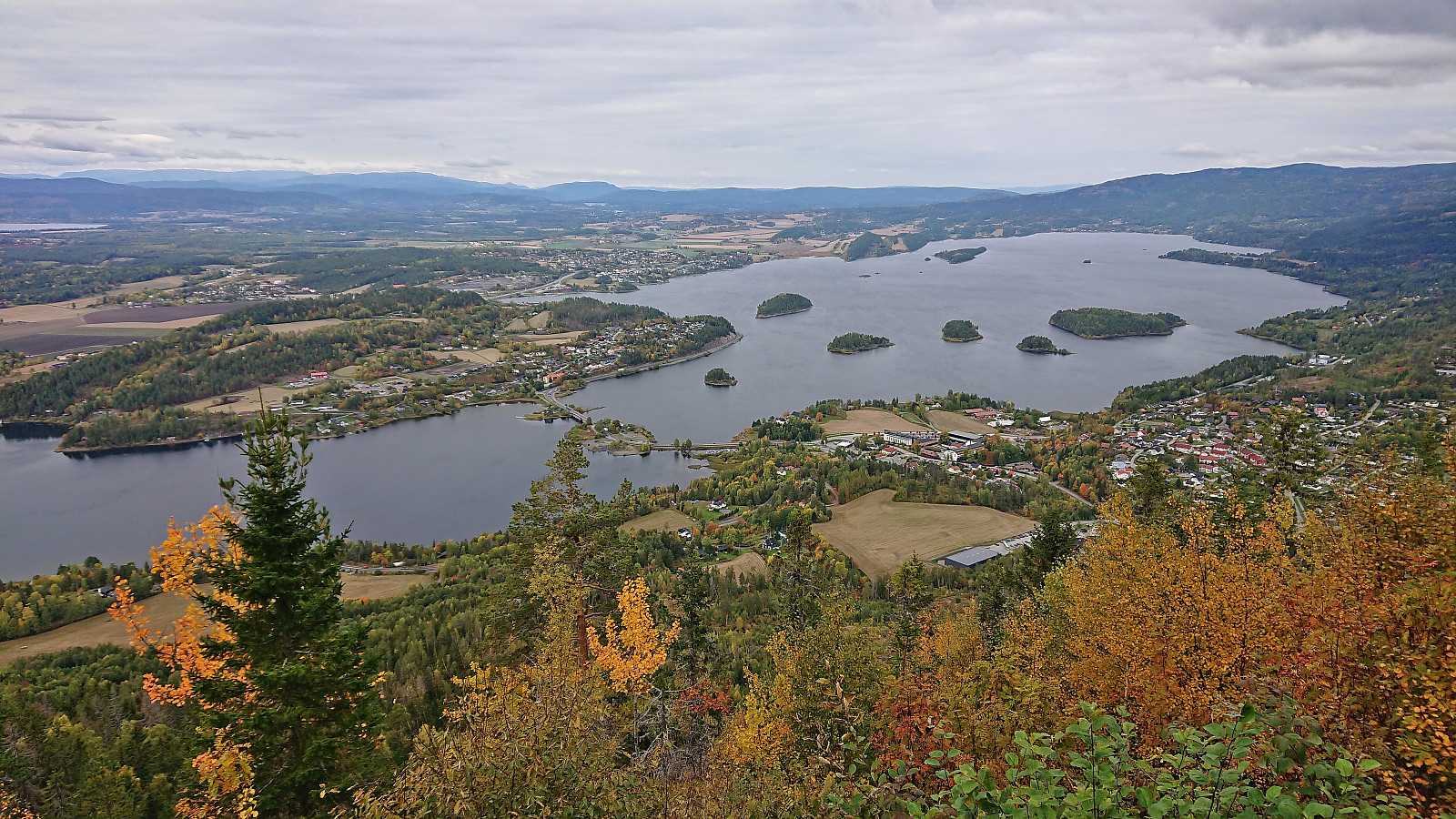
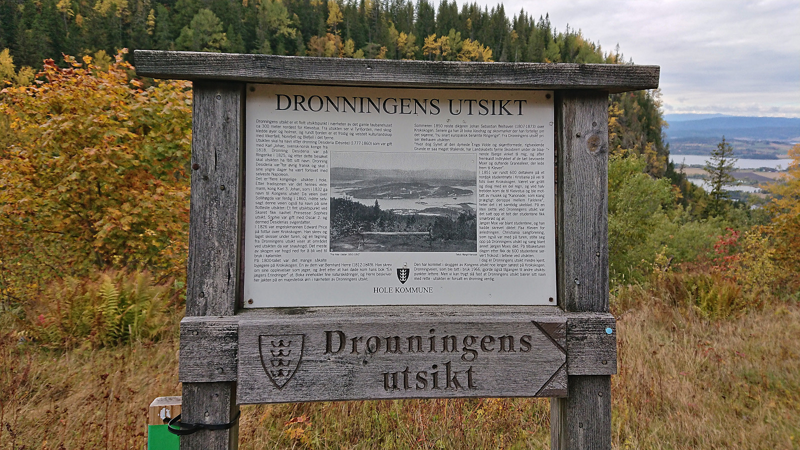
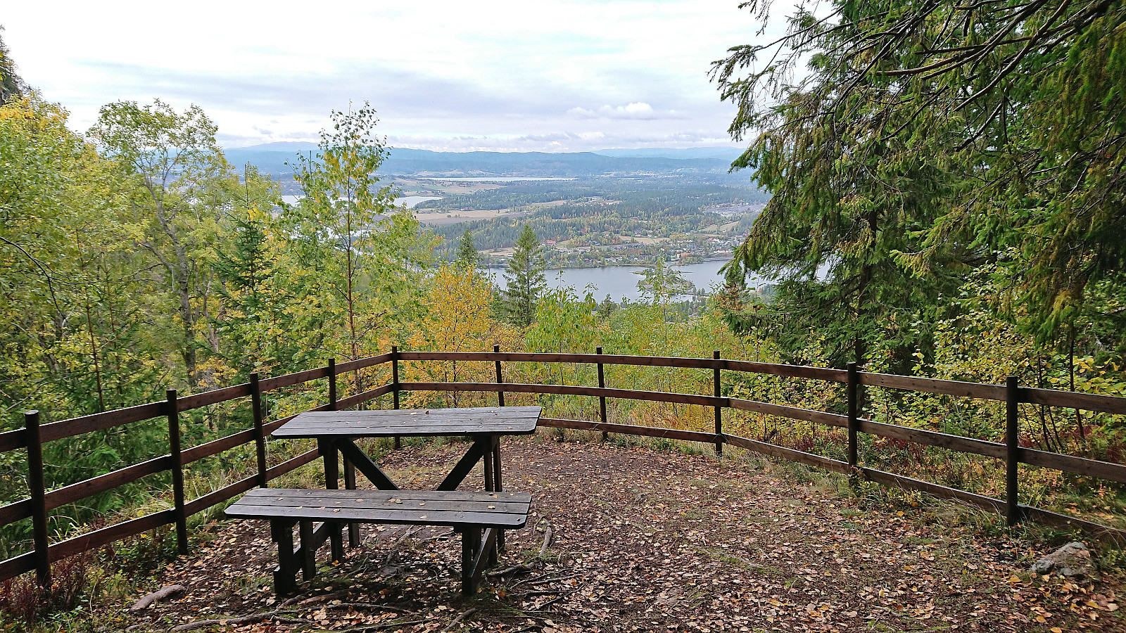
At Kleivstua I made a minor detour north to Dronningens utsikt, however the views were a lot less impressive compared to Kongens utsikt and can just as well be skipped. I then continued north/northeast to Kronprinsens utsikt which turned out to mainly be a starting ramp for paragliders. The views were much better than from Dronningens utsikt, but can also be skipped if already having been to Kongens utsikt.
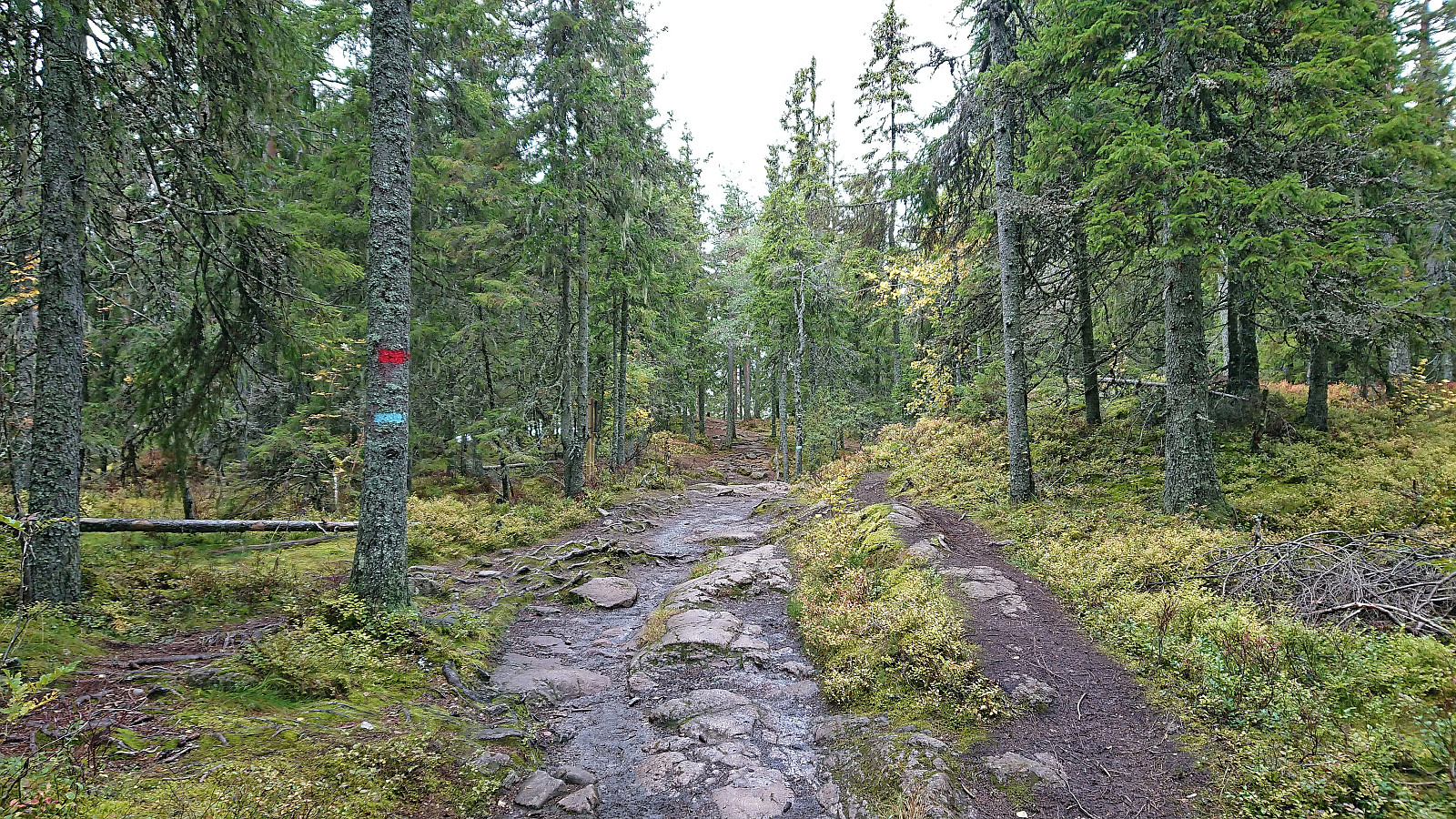
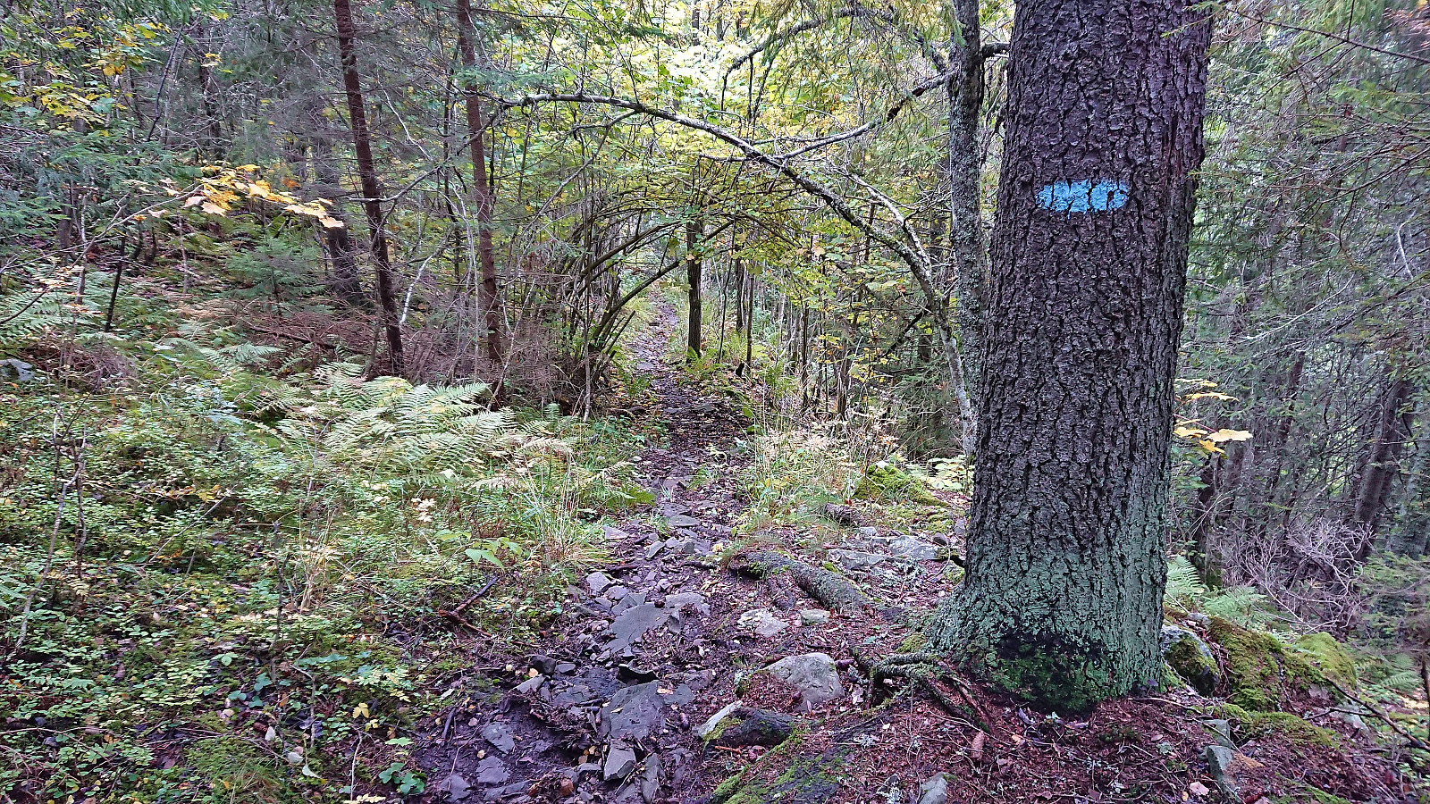
All that remained was now to find my way back to the hotel. I first descended northeast along the road before locating the start of the shortcut to Krokkleiva called Nordkleiva. While the start of this trail was where it was indicated on the map, it was unmarked and very easy to miss. Later there were however blue trail markers and from there on the trail, while wet and slippery, was easy to follow.
In summary, a visit of Kongens utsikt can very much be recommended if in the area. The other viewpoints and Abboråsen can however be skipped without missing much.
| Startzeitpunkt | 29.09.2022 13:22 (UTC+01:00 SZ) |
| Endzeitpunkt | 29.09.2022 16:02 (UTC+01:00 SZ) |
| Gesamtzeit | 2h 39min |
| Zeit in Bewegung | 2h 35min |
| Pausenzeit | 0h 4min |
| Gesamtschnitt | 4,0km/h |
| Bewegungsschnitt | 4,1km/h |
| Entfernung | 10,5km |
| Höhenmeter | 560m |


Benutzerkommentare