
Skamdalshorgi, Tinden and Grønahorgi (18.09.2022)

Geschrieben von hbar (Harald Barsnes)

| Startpunkt | Svelgane (235m) |
|---|---|
| Endpunkt | Istadmoen (257m) |
| Tourcharakter | Bergtour |
| Tourlänge | 8h 34min |
| Entfernung | 29,4km |
| Höhenmeter | 1.804m |
| GPS |
|
| Besteigungen | Grønahorgi (1.165m) | 18.09.2022 |
|---|---|---|
| Skamdalshorgi (1.029m) | 18.09.2022 | |
| Tinden (981m) | 18.09.2022 | |
| Besuche anderer PBE | Helgaset-Langeset bomveg (282m) | 18.09.2022 |
| Madshaugen p-plass (513m) | 18.09.2022 | |
| Skamdalsvegen (460m) | 18.09.2022 |
Skamdalshorgi, Tinden and Grønahorgi
Ever since I ran out of time three weeks ago, it felt like I had some unfinished business in Granvin. At the first opportunity I therefore once again took the train to Voss and the bus to Bulkokrysset with the plan to finally ascend Skamdalshorgi. My plan almost got off to a bad start though, as the bus from Voss for some reason did not leave the main road for the detour around Tunsbergtunnelen, thus skipping the bus stop at the start of Bulkovegen that I had gotten off at last time. But thankfully I realized this change just in time and managed to get off the bus before it actually went through the tunnel.
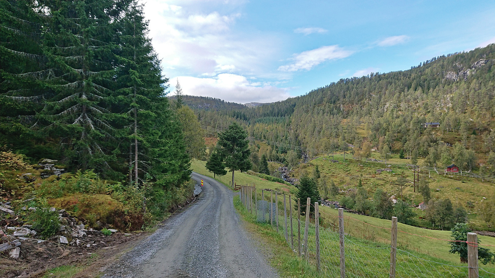
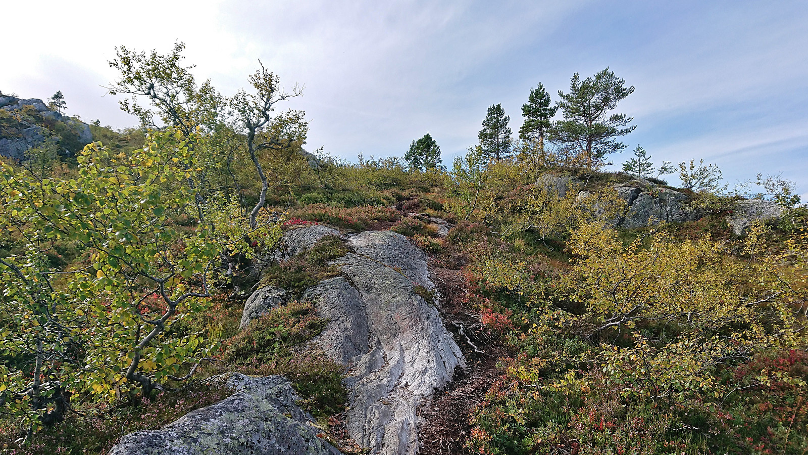
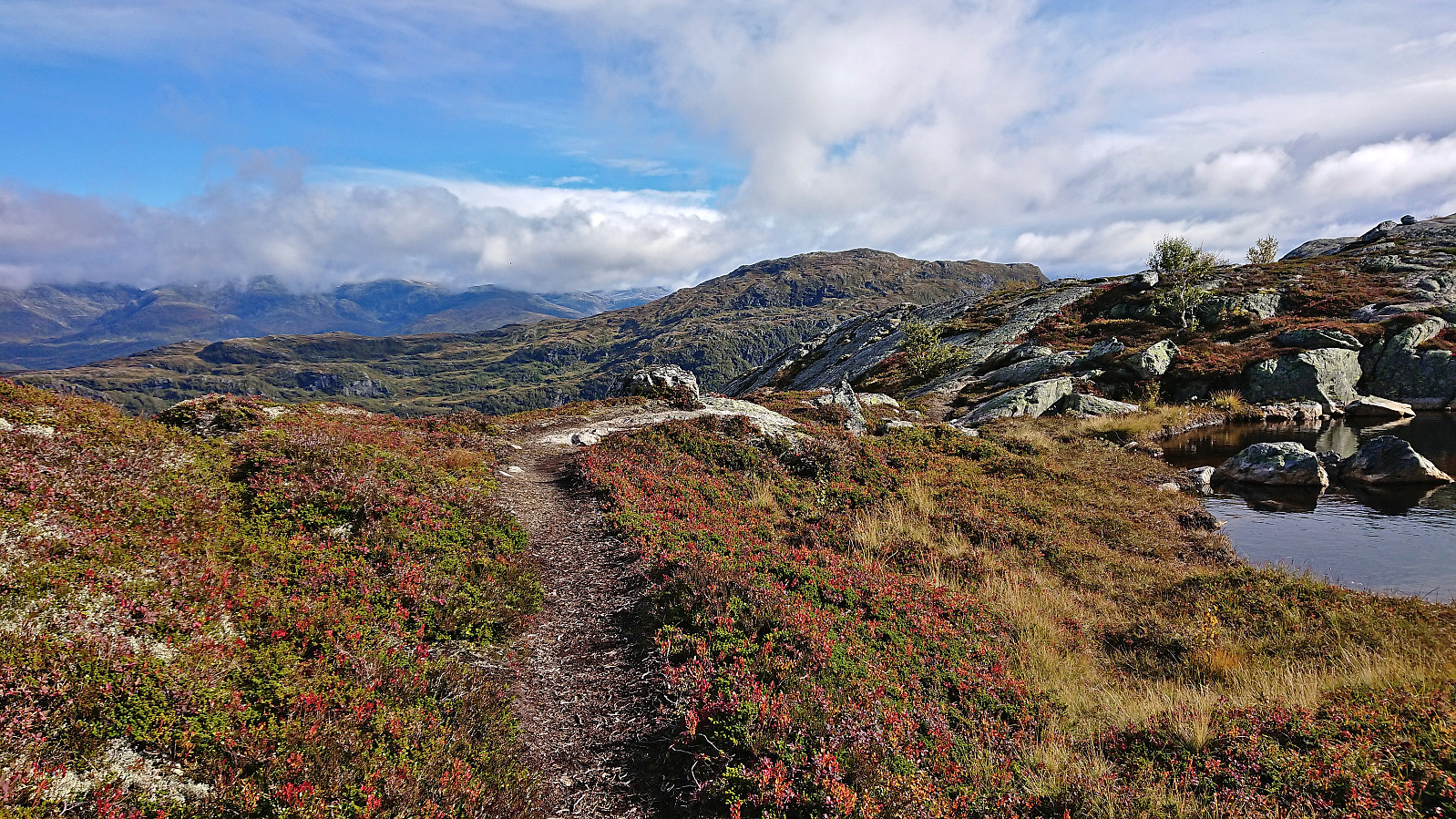
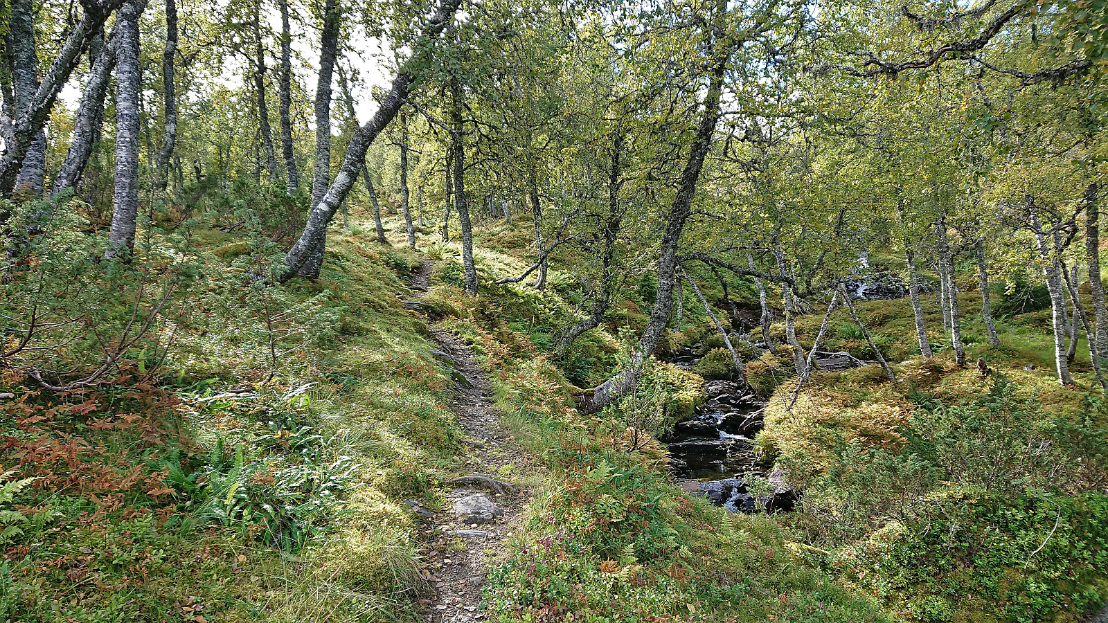
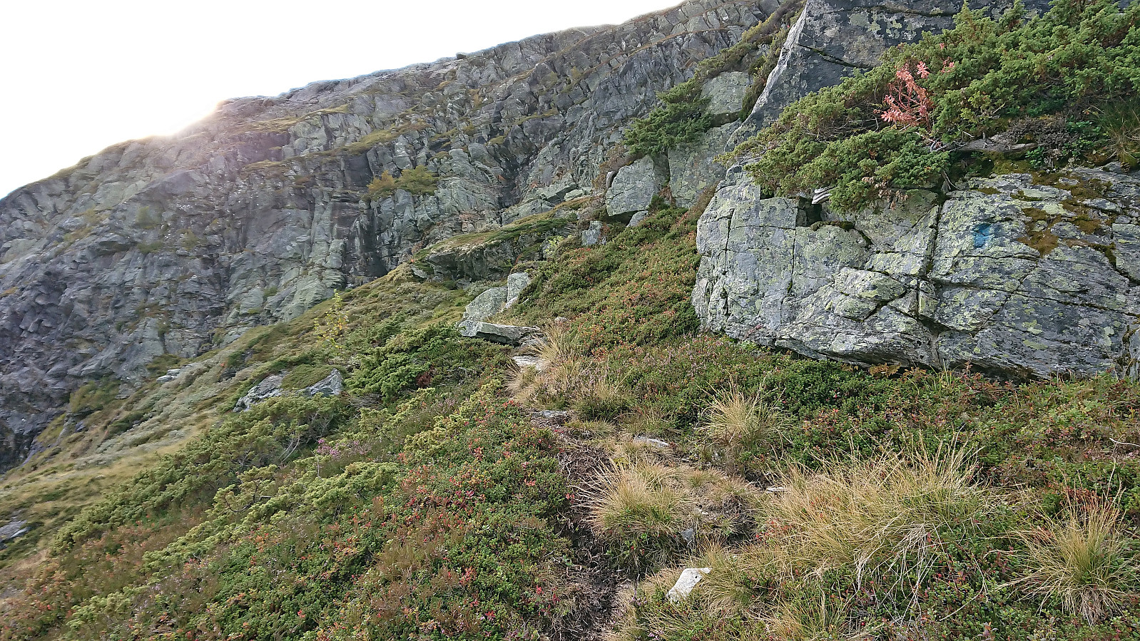
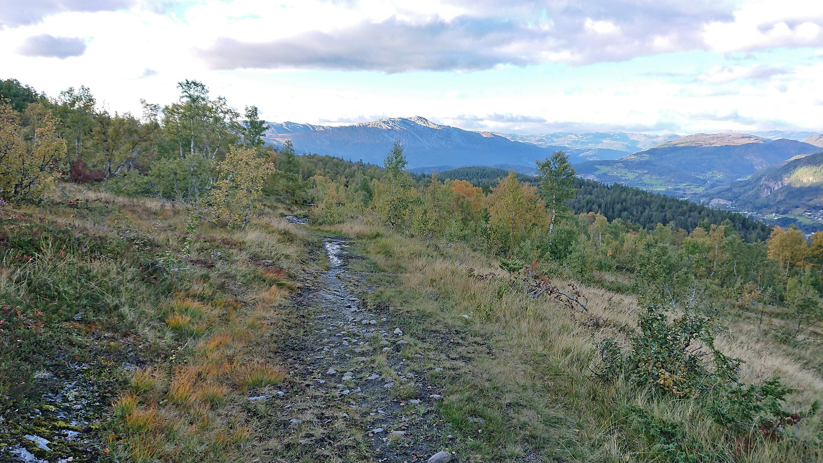
With this initial scare out of the way, I walked the short distance to the start of Bulkovegen and proceeded to follow it south to the unmarked trailhead for Skamdalshorgi just north of the summit. (Note that while most of the parking along this gravel road is marked as private, there seemed to be at least a couple of non-private spots next to the trailhead for those not doing the walk up from the main road.) The trail itself was also unmarked, but overall of good quality and easy to follow, and at times gave the feeling of being on a secret route to a hideaway whose location must not be revealed.
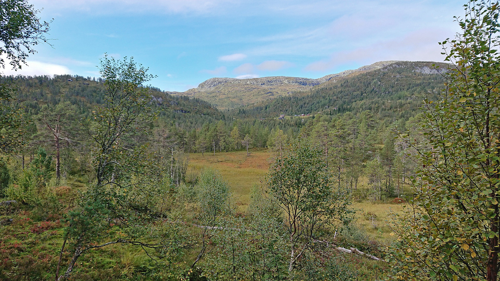
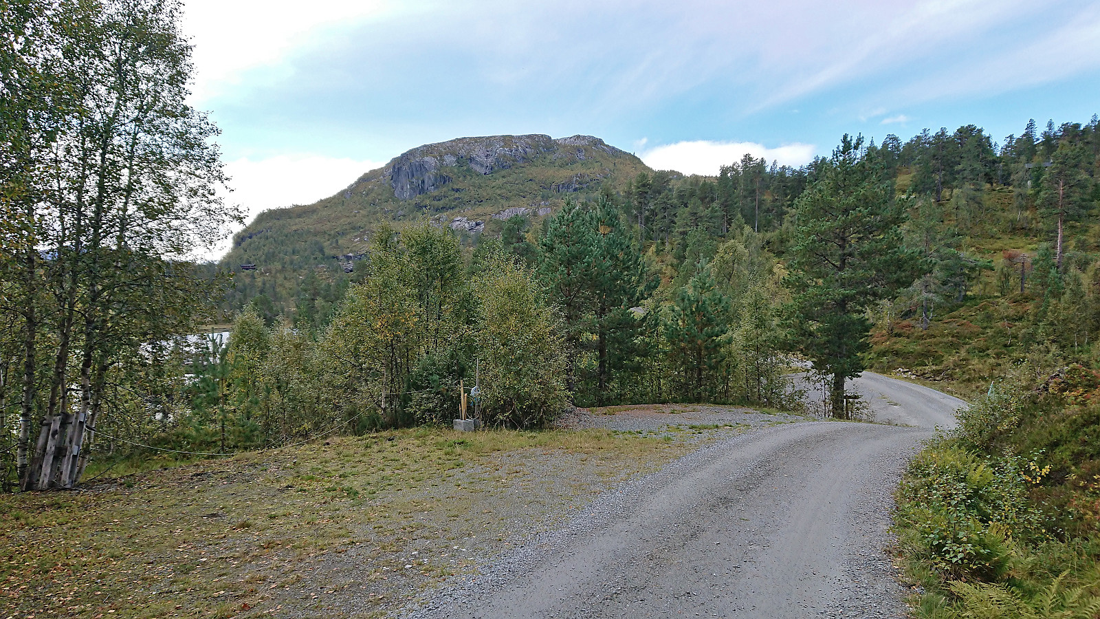
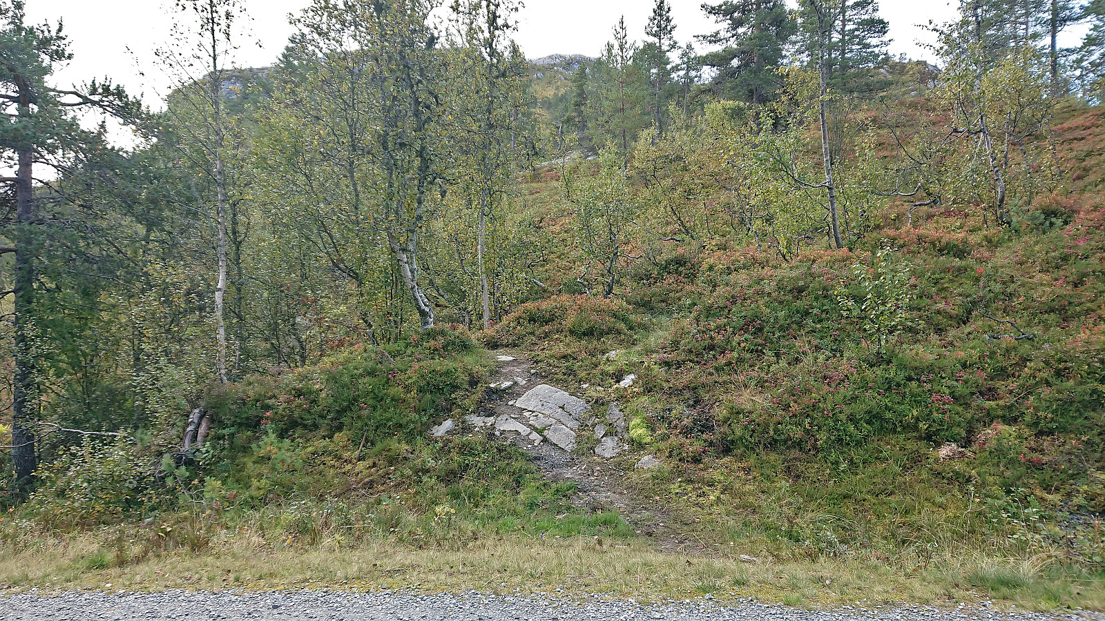
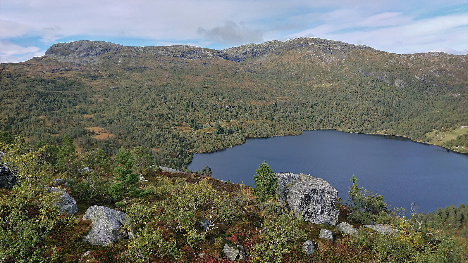
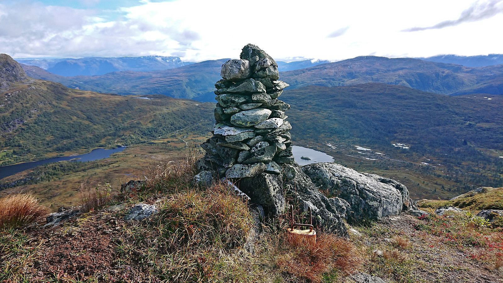
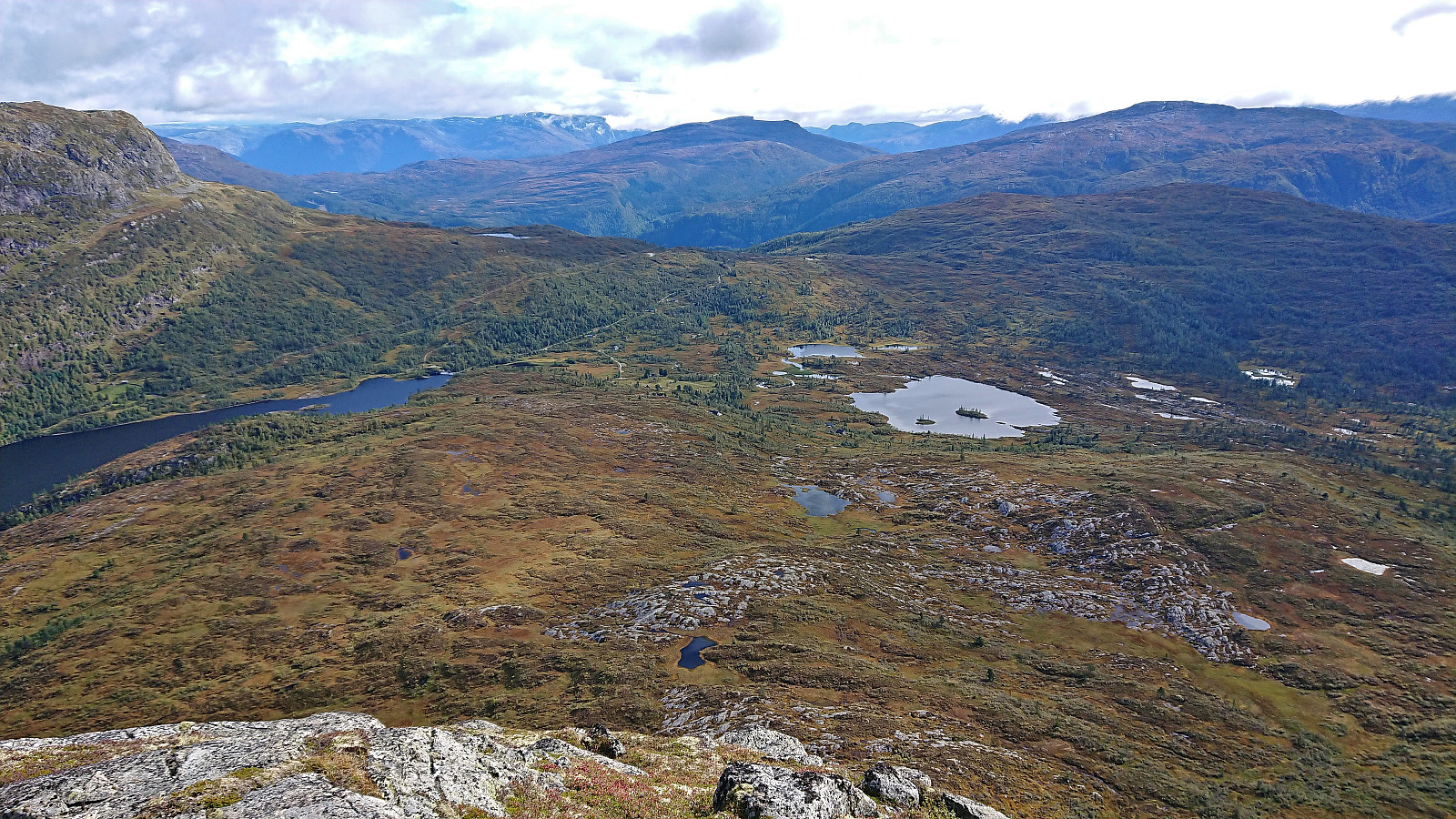
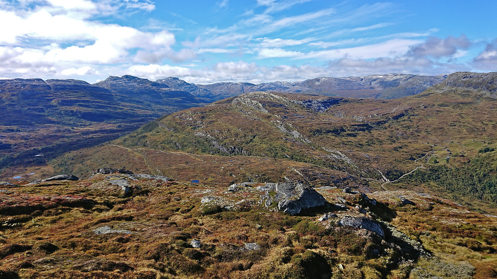
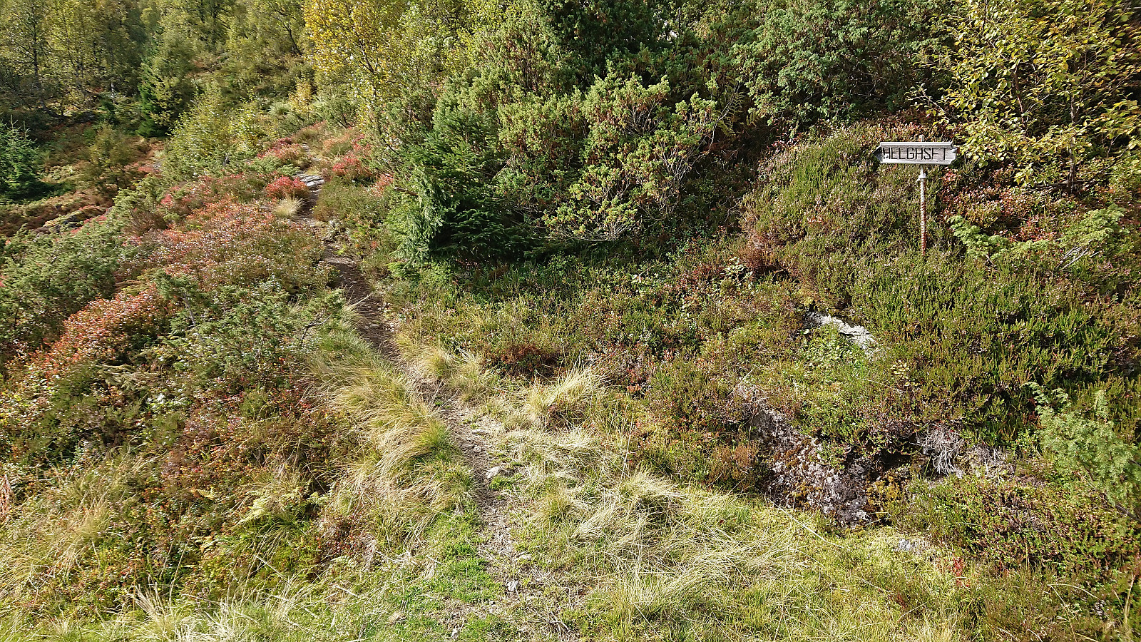
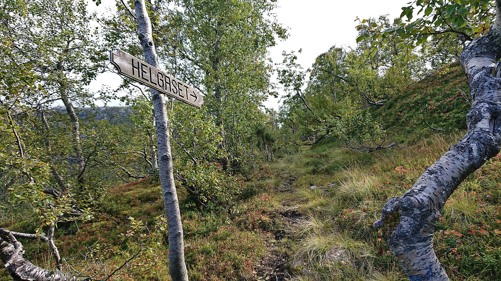
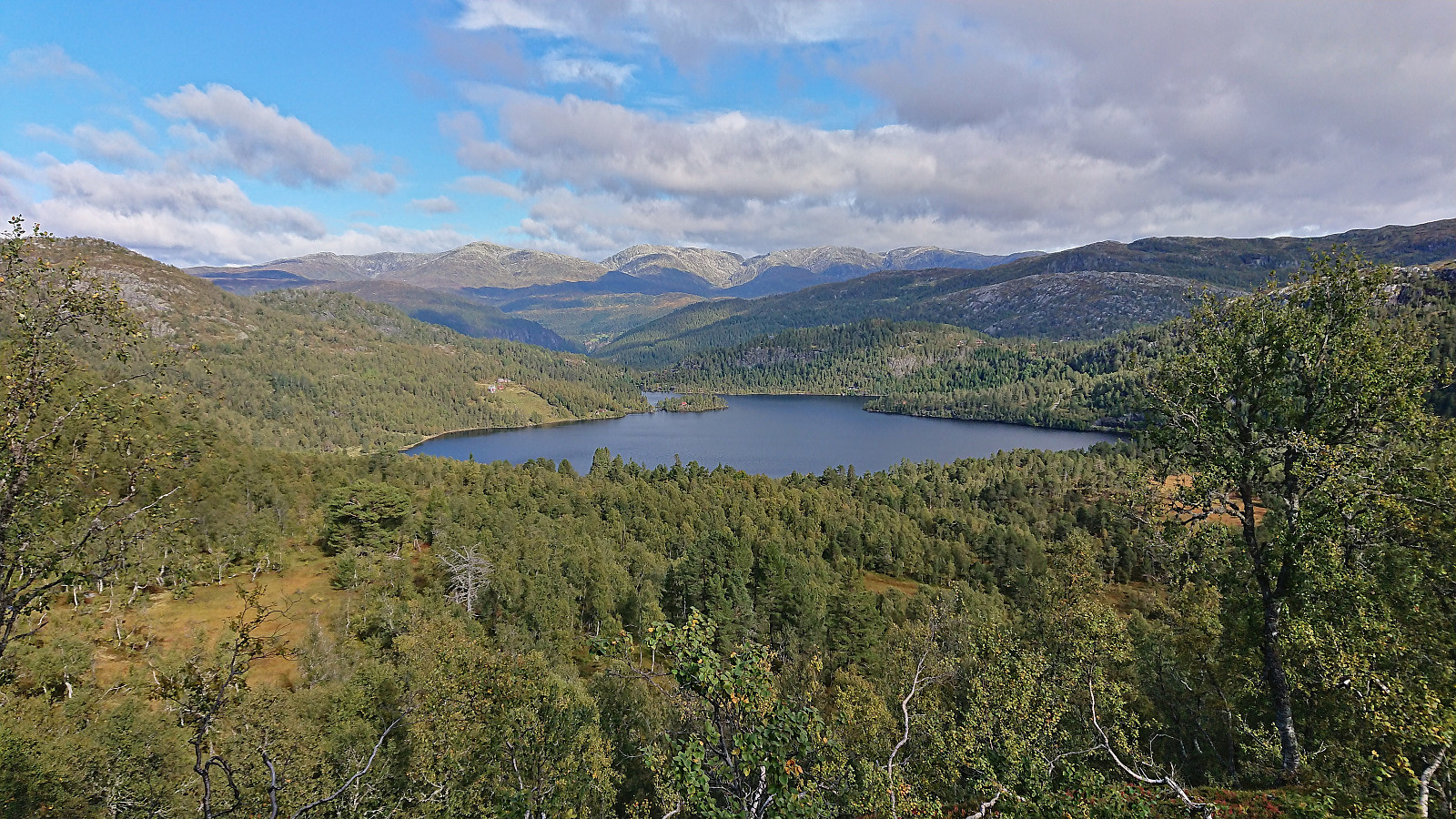
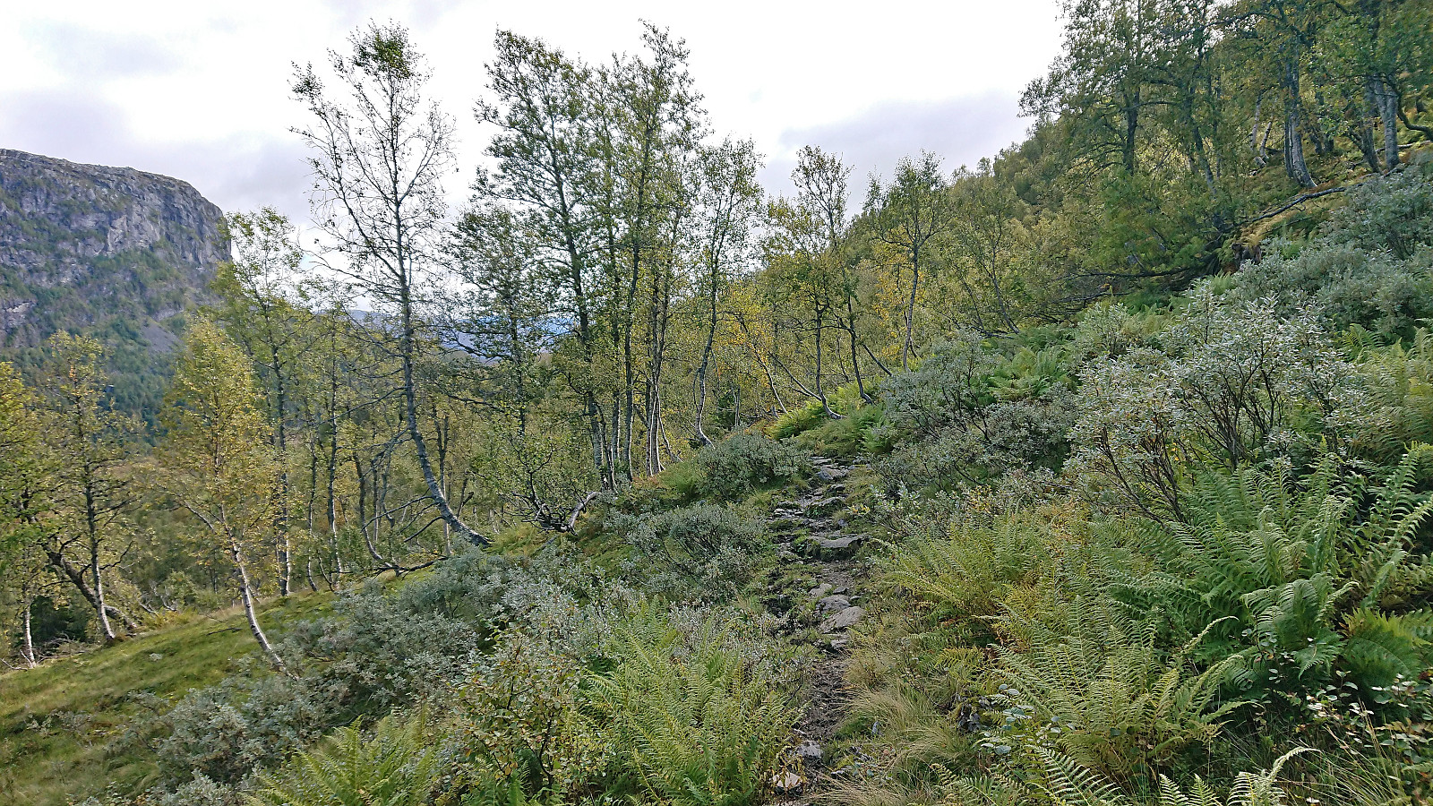
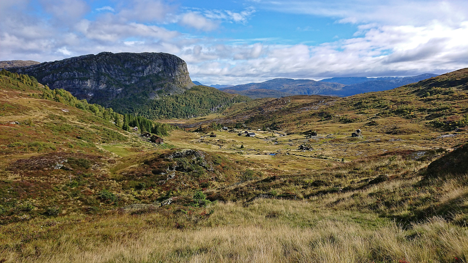
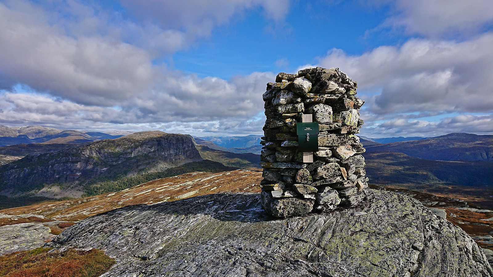
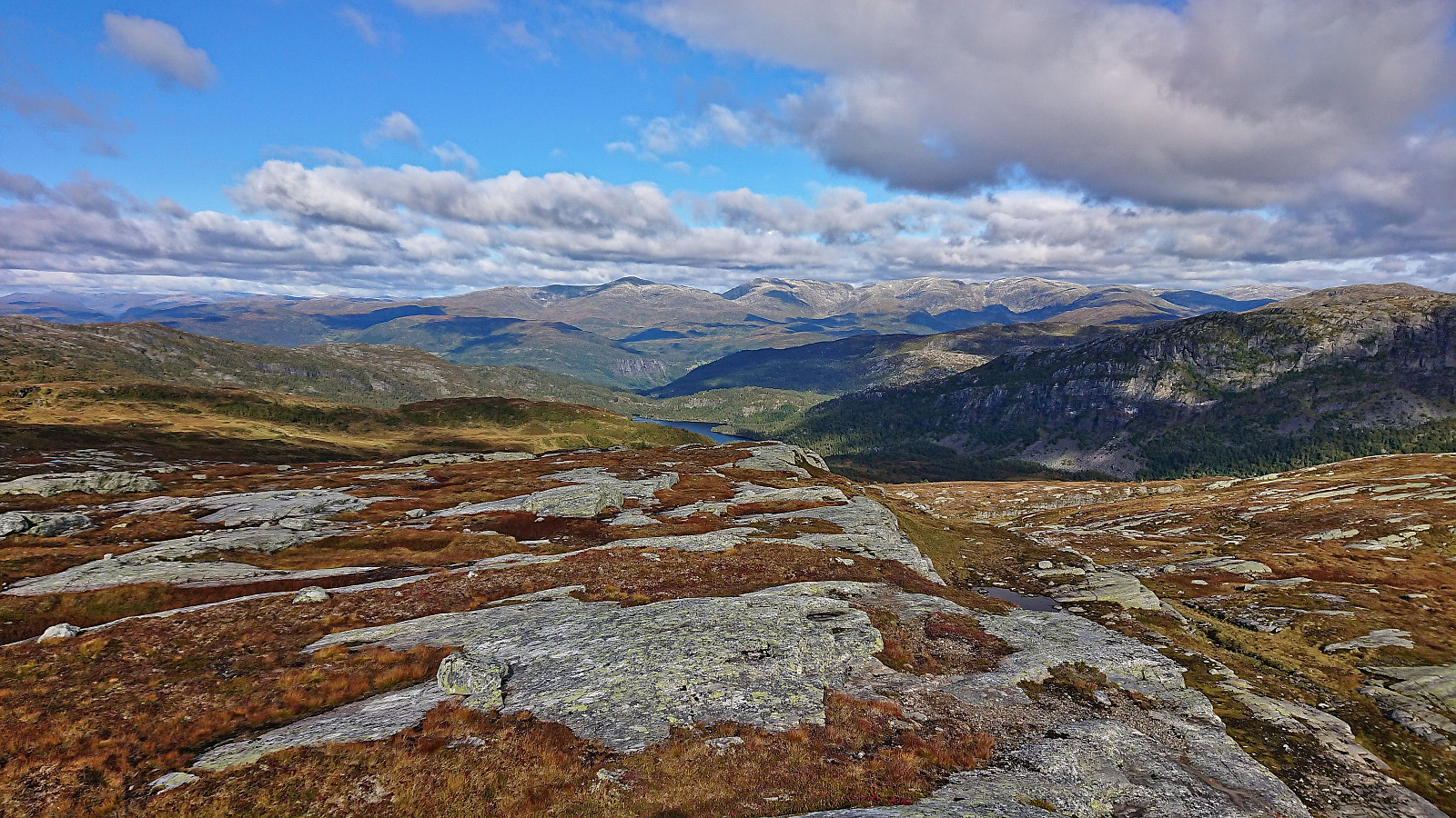
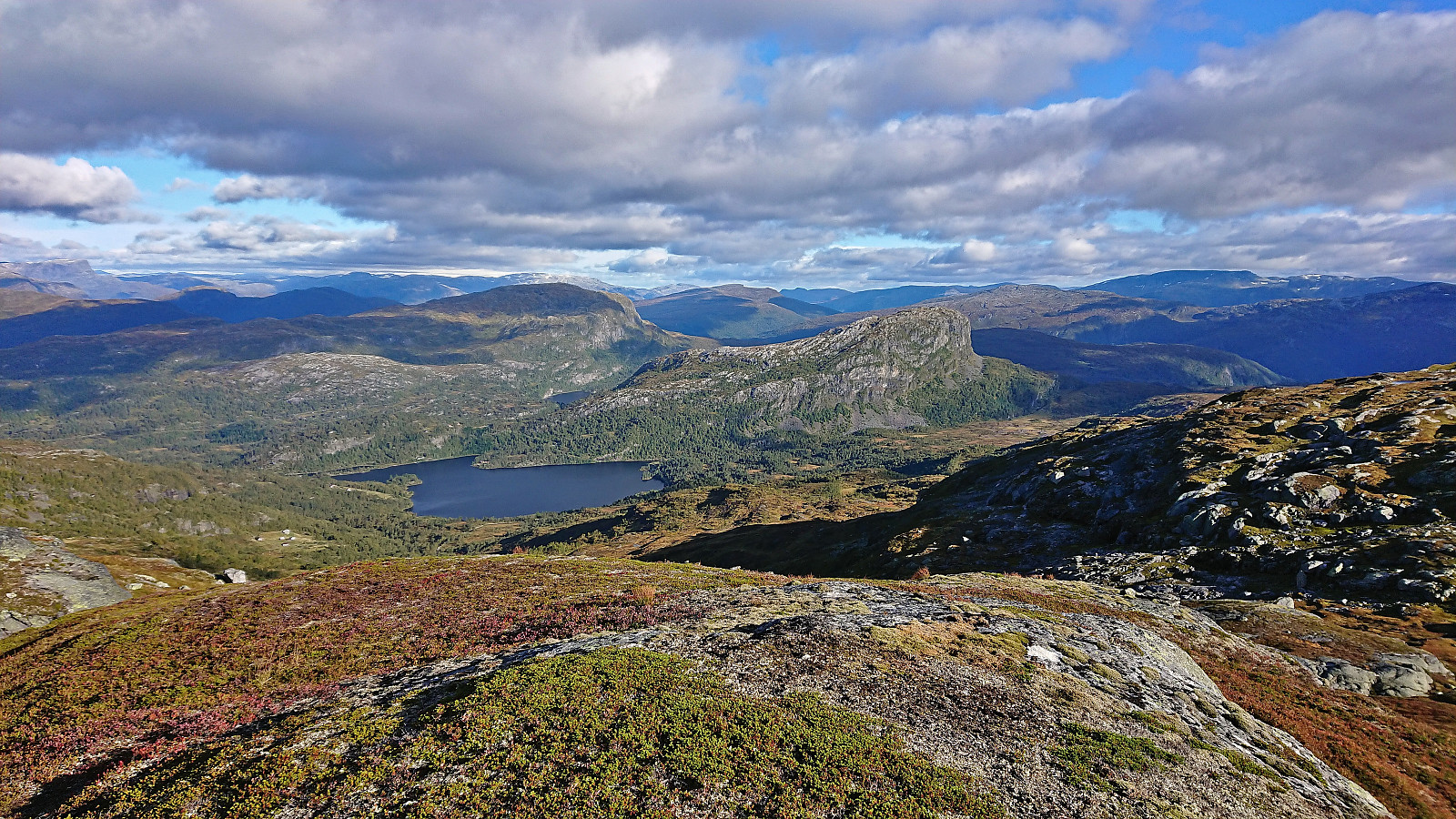
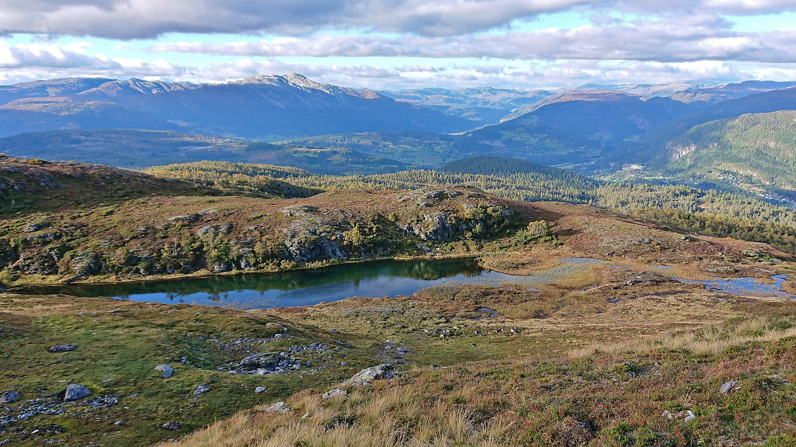
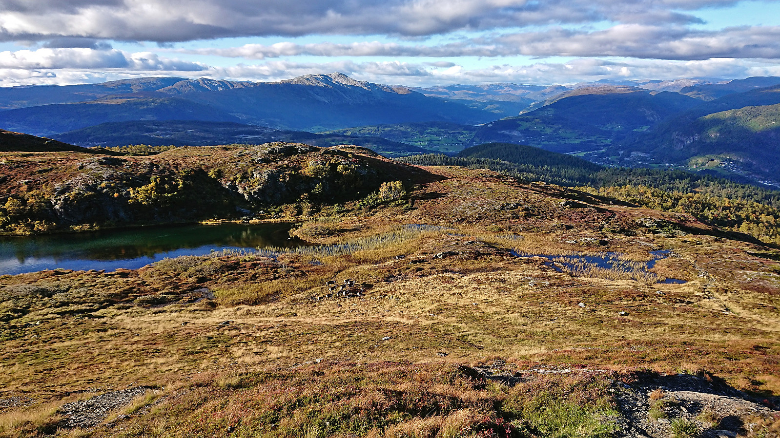
The summit of Skamdalshorgi was marked by a large cairn with a visitor register and provided excellent panoramic views. I continued to a smaller cairn southeast of the summit where I further enjoyed the views during a quick lunch break before returning along the same route to the gravel road, which I then followed west along Grønlivatnet to Skamdalen. Here I located a marked trailhead for Helgaset and decided to follow this trail on the way to the next goal: Tinden. This trail was unmarked as well and at times a bit weak. Maybe due to it now seemingly being more heavily used by sheep than humans (I guess partly as there is now a gravel road all the way to Helgaset from Rong further west).
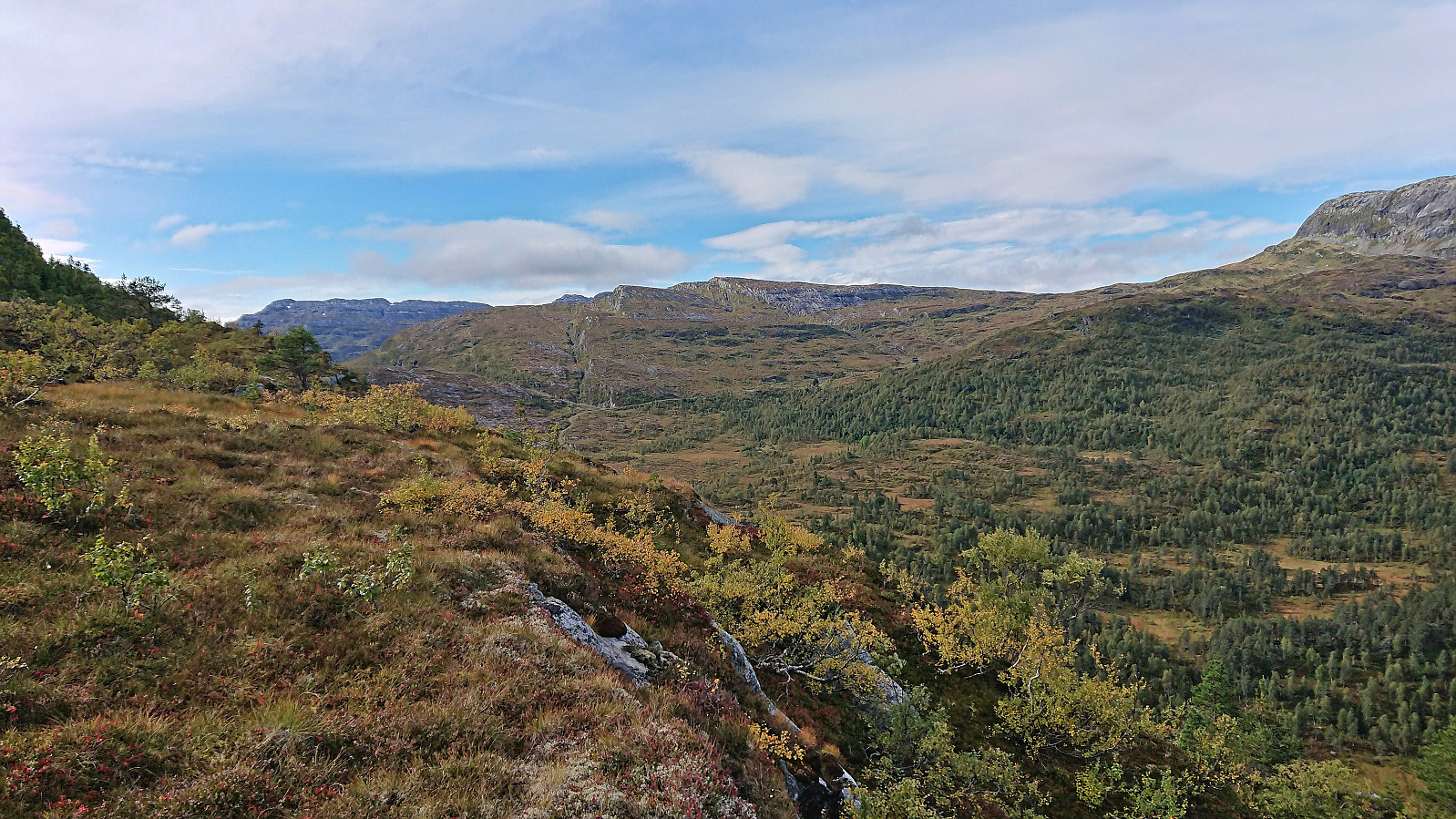
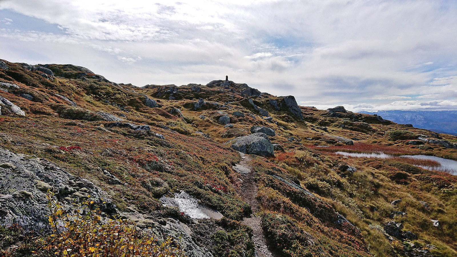
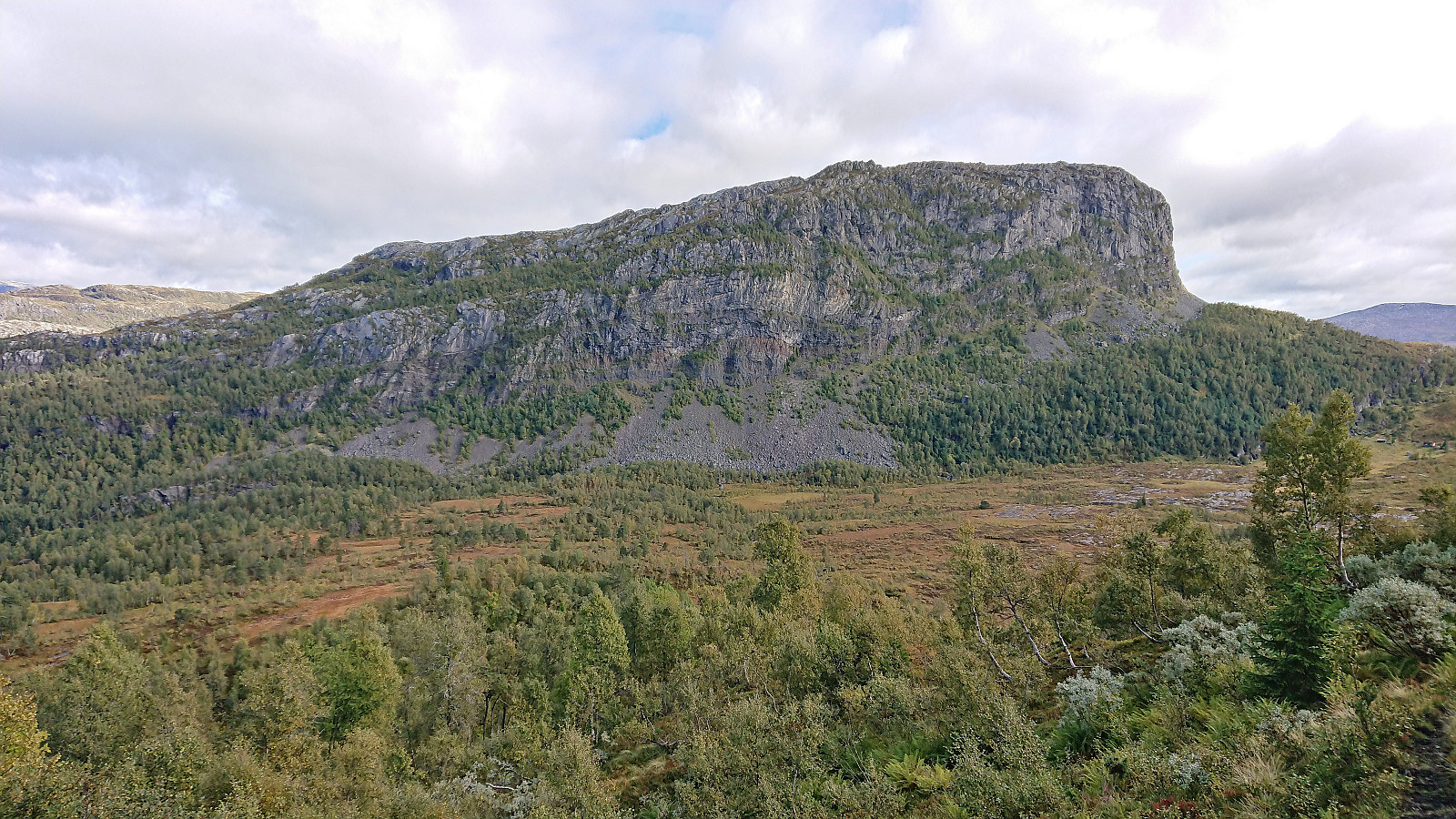
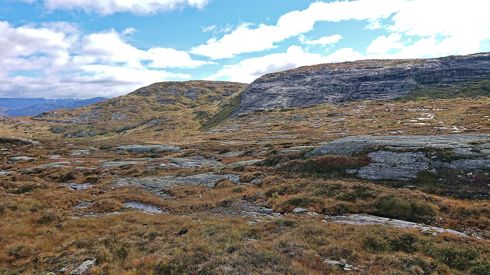
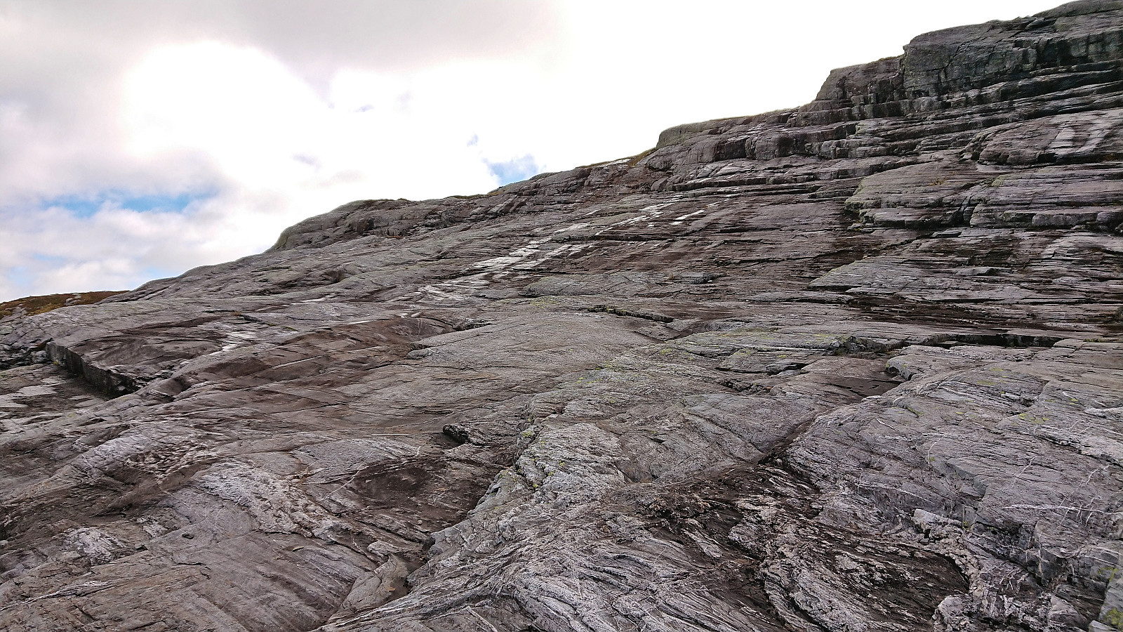
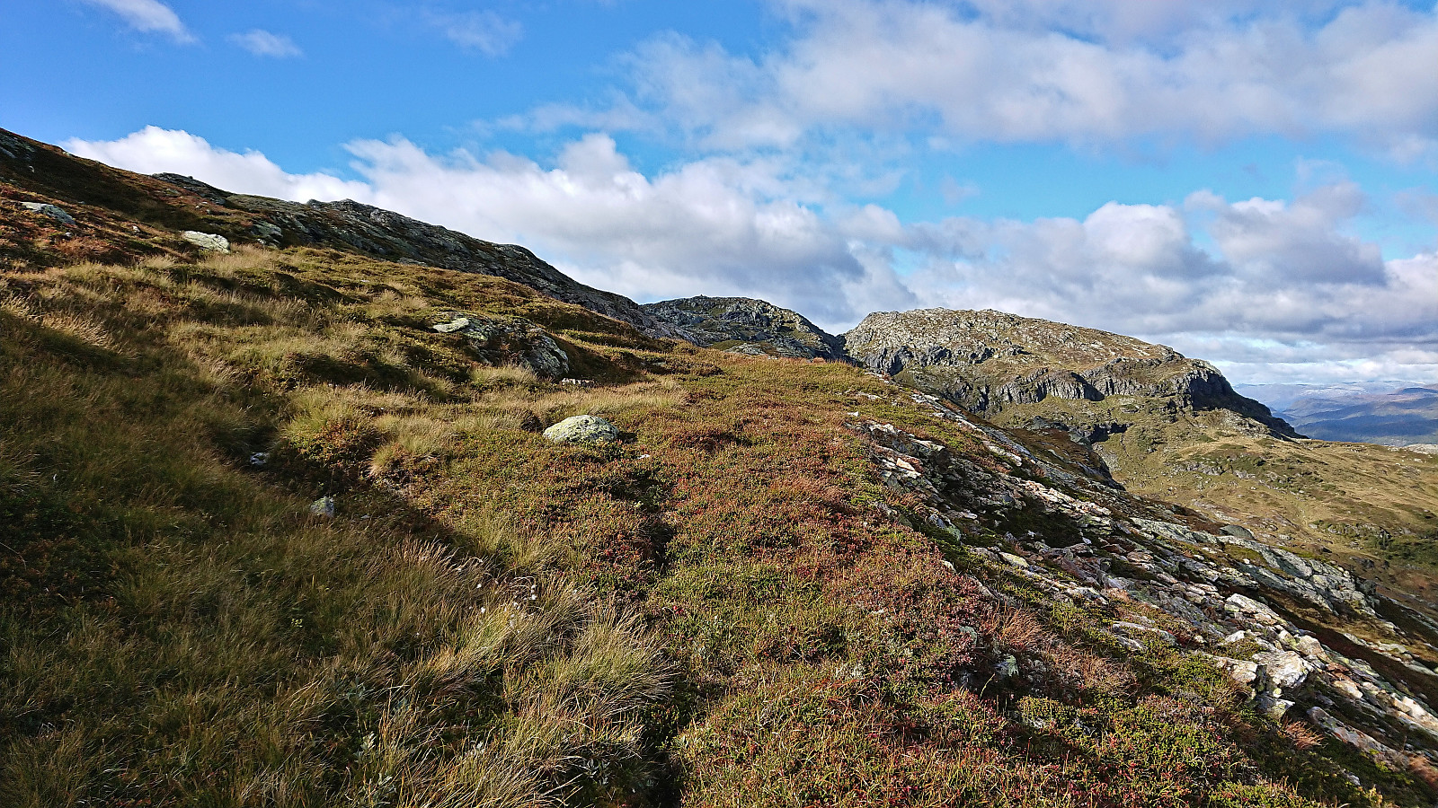
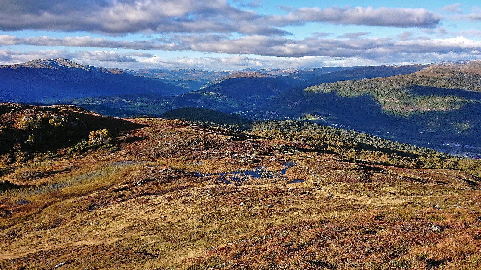
The trail more or less disappeared before I reached Helgaset, or perhaps I made a wrong turn towards the end, but until then it was ok to follow. At Helgaset I shortly continued west along an animal track, before turning south and simply heading off-trail in the direction of the summit of Tinden. There was a steep area just north of the summit, but the dry conditions made it relatively easy to find a route that did not even require scrambling. (In wet or icy conditions this area should probably be avoided though. See the descend route for an alternative.)
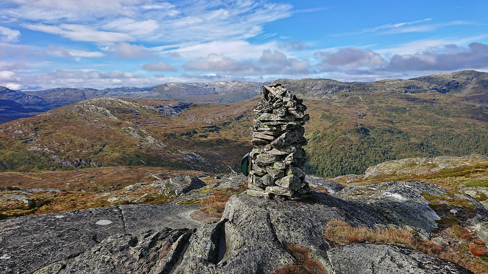
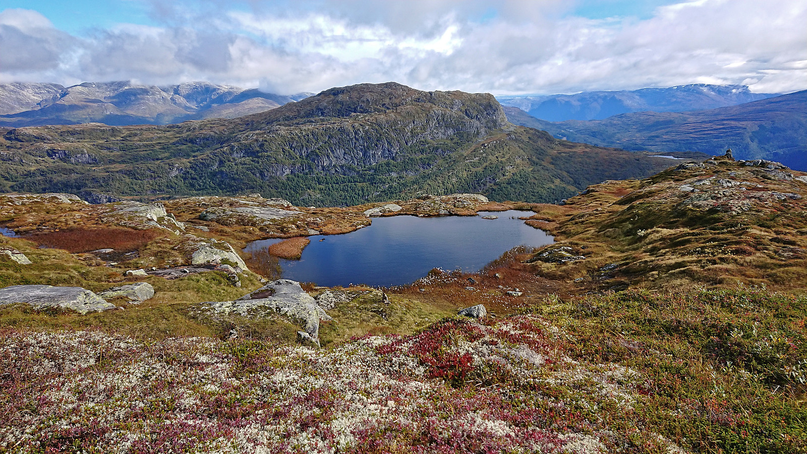
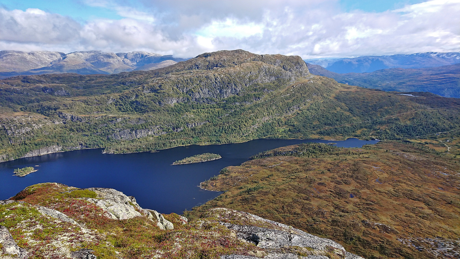
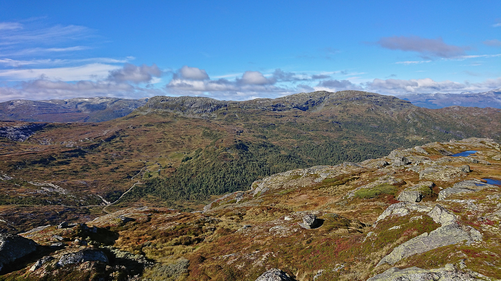
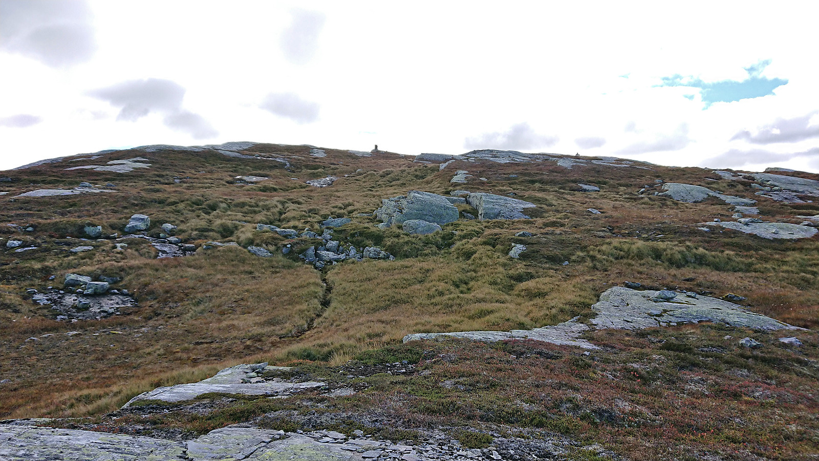
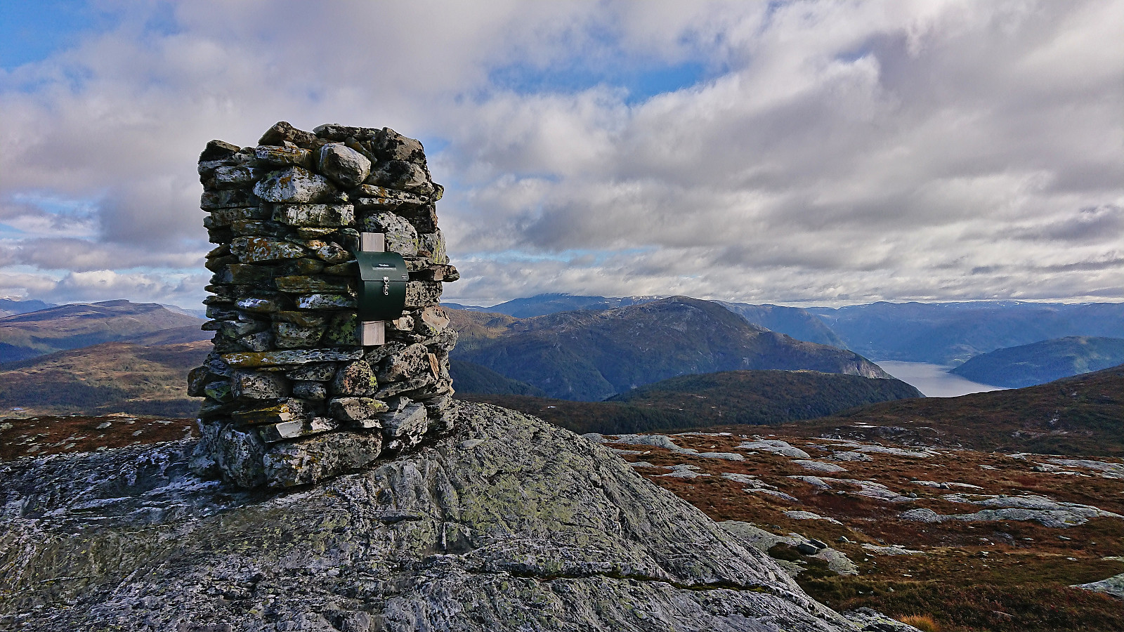
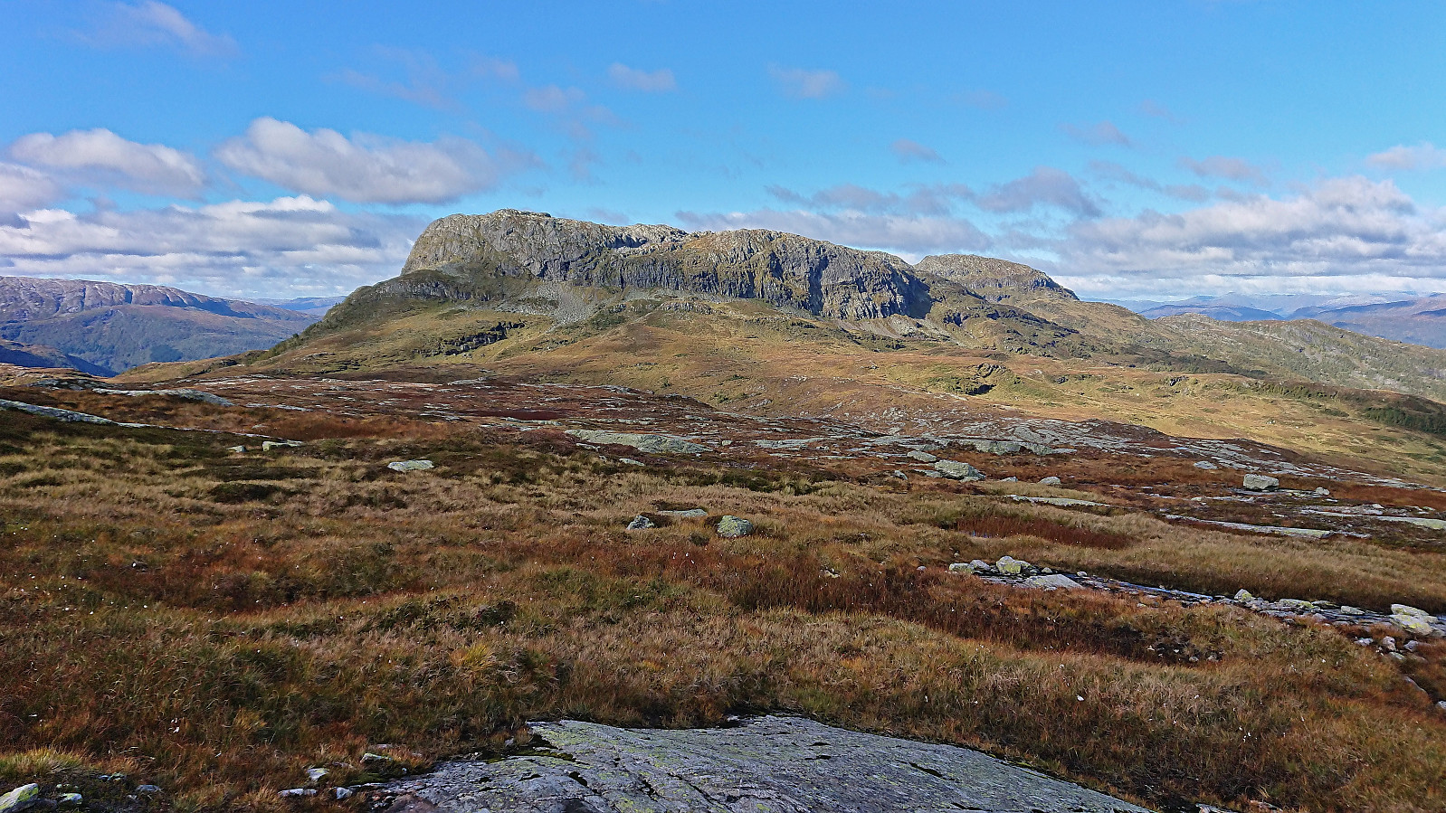
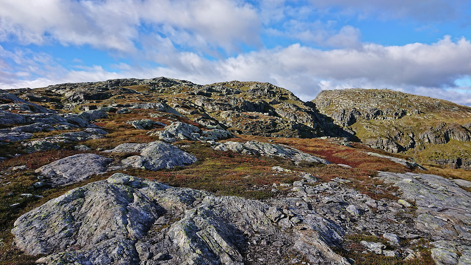
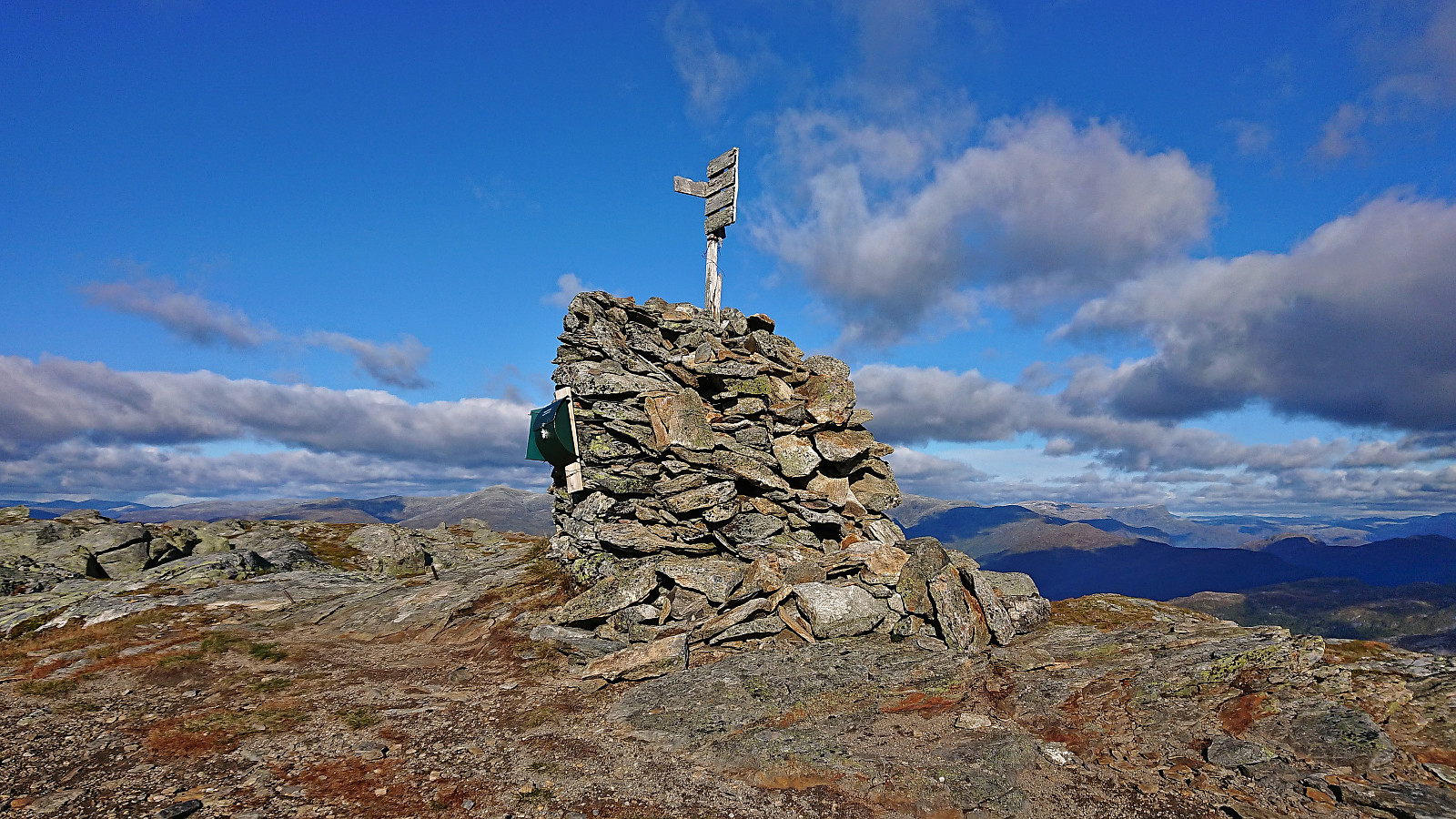
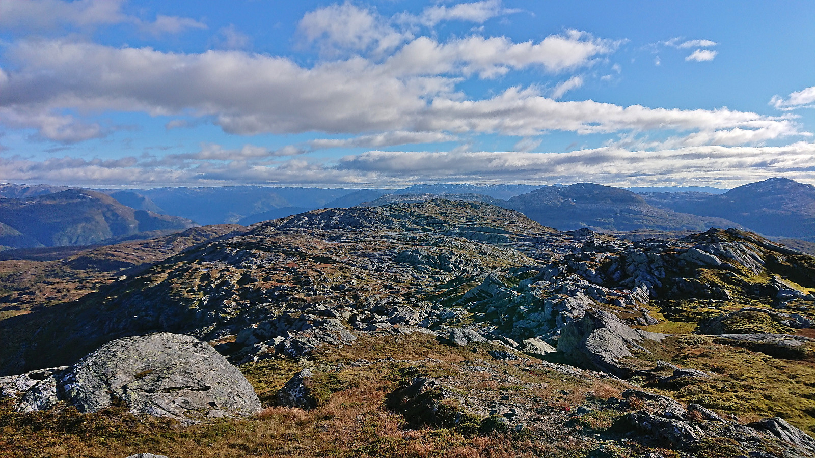
Upon reaching the cairn marking the summit, I was surprised to find a visitor register indicating that this is a more commonly visited location than I had thought. The summit area was flat, but still provided great views. I however did not stay long before returning north towards the last goal of the day, namely Grønahorgi. While the map did not indicate any trails in this direction, the terrain on the west side of Veskreshorgi did not look too bad and I decided to give it a go hoping to find a route that would not require any climbing.
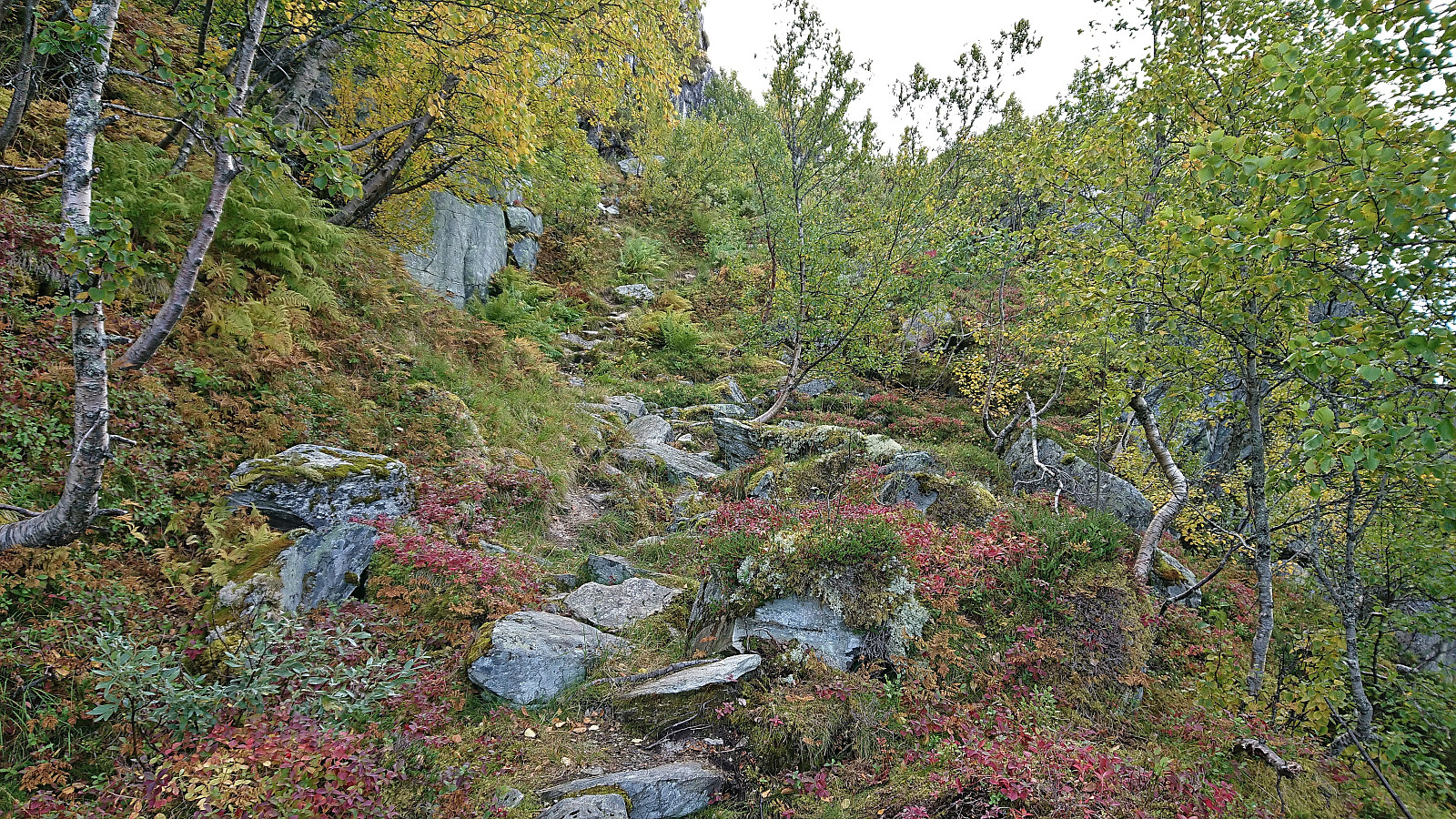
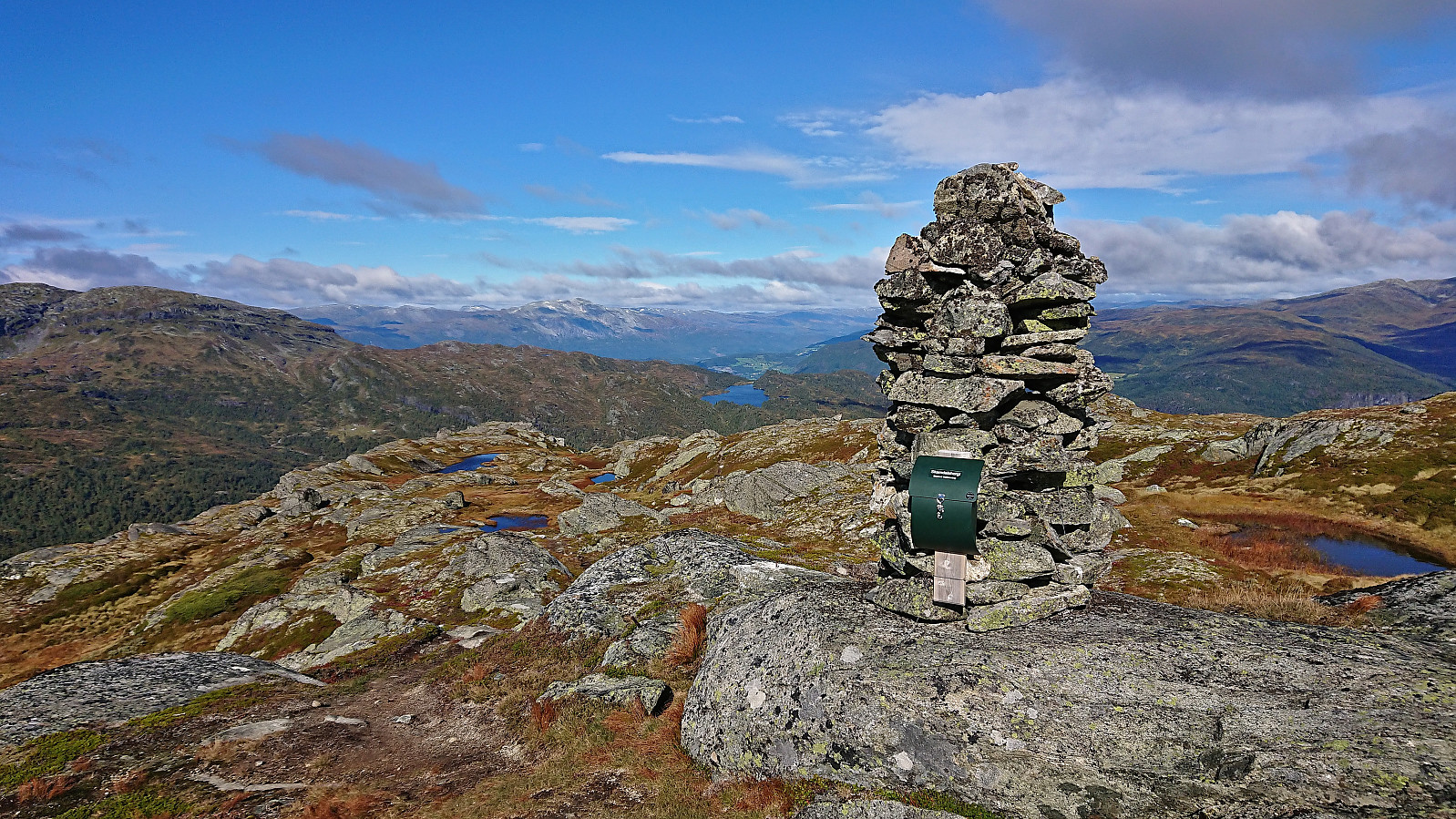
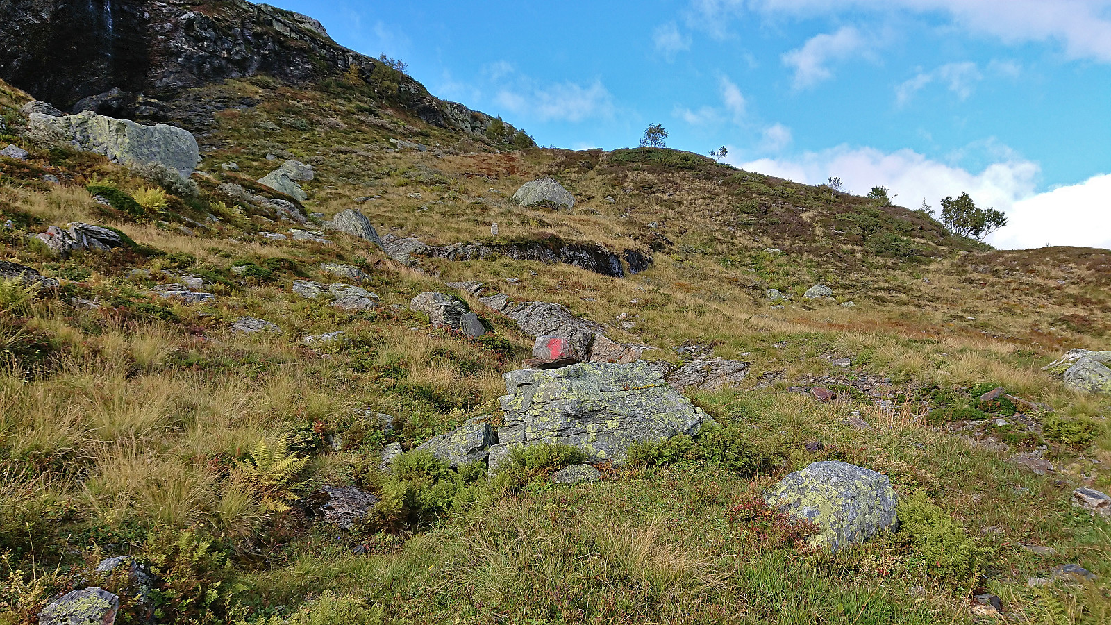
As I got to the area I had targeted for my ascent, I suddenly noticed a red trail marker. It was later followed by 4 or 5 additional markers, some blue and some red, before all of them disappeared completely. But by then I was pretty confident that I could find my own way and it did not take long until I had navigated to the top of the steep area requiring only a tiny bit of very easy scrambling. The summit of Grønahorgi could now finally be spotted and the remaining distance was easily covered.
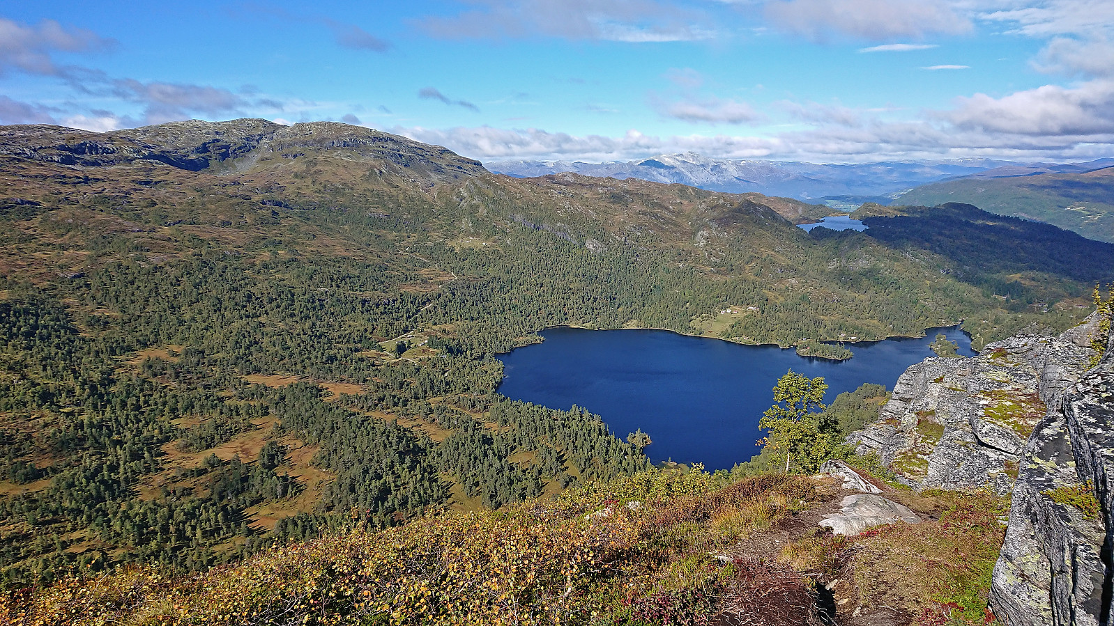
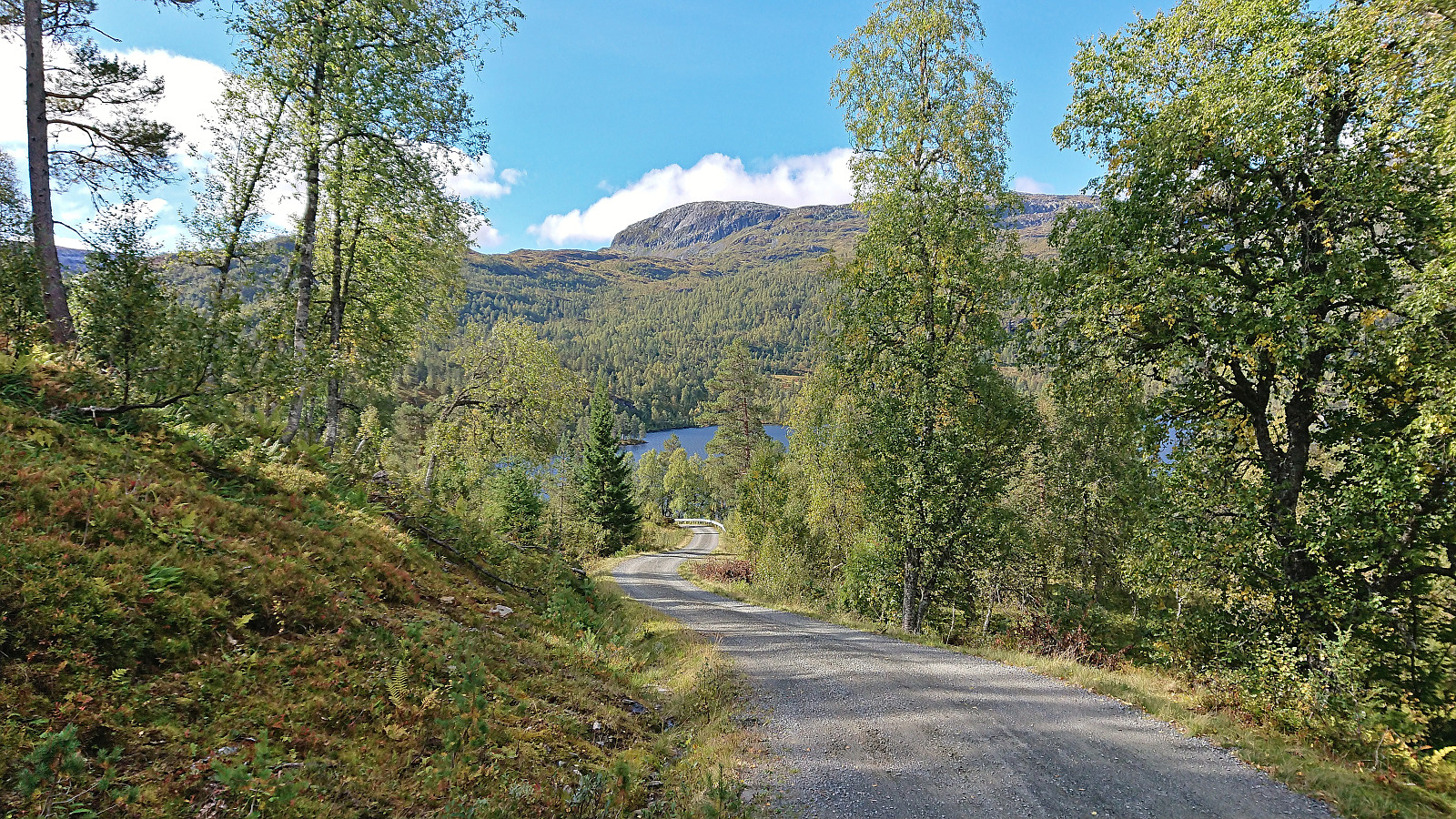
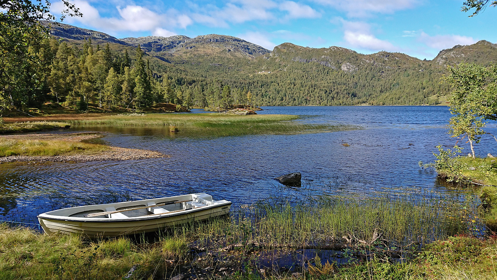
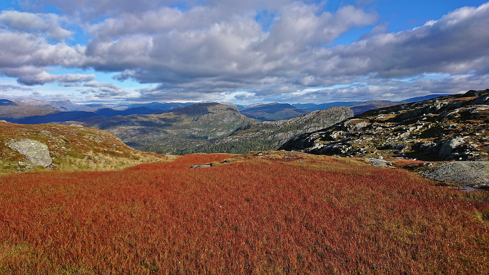
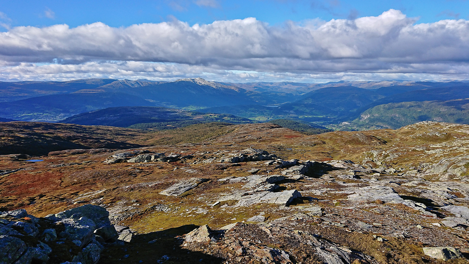
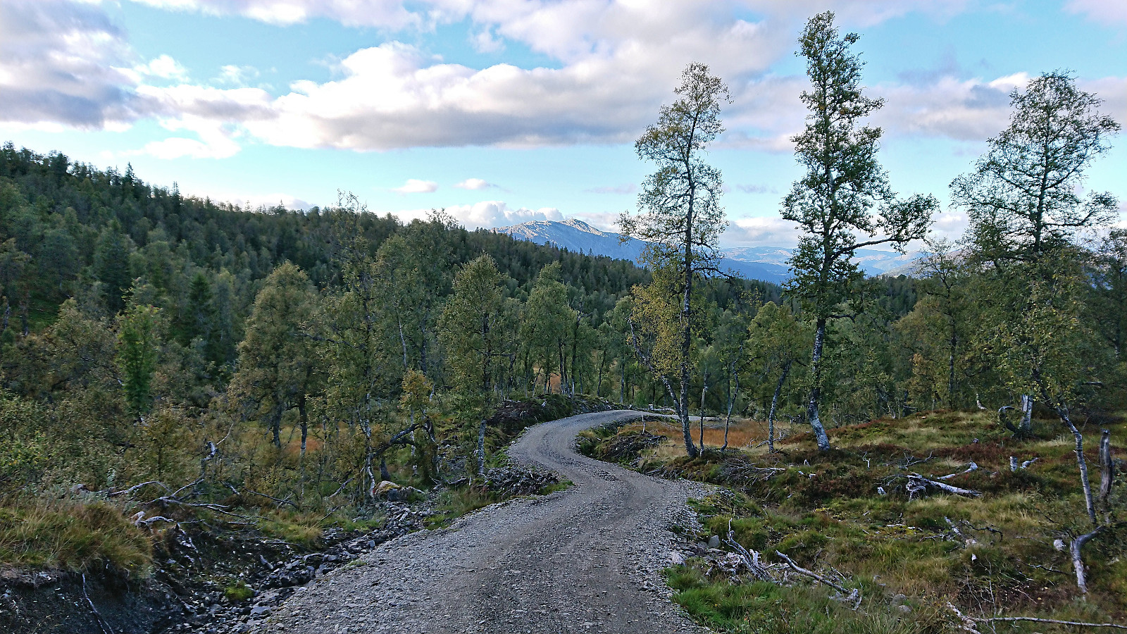
After a short break from the cold wind from the north behind the shelter of the large cairn, I started my descent north to Istad. First partly along a weak trail, which most often tended to not go exactly where it was indicated on the map, and later simply heading off-trail to Håset where I connected with a tractor road that soon turned into a gravel road that would take me all the way to the bus stop at the main road. The most interesting part of the descent was coming across a small herd of wild reindeer as I was approaching Vireskartjørni. I managed to observe them for several minutes and take lots of pictures before they decided to run away.
Back at the main road, all that remained was to take the bus to Voss and the train back to Bergen, thus concluding an excellent hike that can be very highly recommended. The trail up to Skamdalshorgi and the excellent views from the summit being the highlight.
| Startzeitpunkt | 18.09.2022 10:22 (UTC+01:00 SZ) |
| Endzeitpunkt | 18.09.2022 18:56 (UTC+01:00 SZ) |
| Gesamtzeit | 8h 34min |
| Zeit in Bewegung | 7h 51min |
| Pausenzeit | 0h 42min |
| Gesamtschnitt | 3,4km/h |
| Bewegungsschnitt | 3,7km/h |
| Entfernung | 29,4km |
| Höhenmeter | 1.803m |


User comments