
Gjøvågsfjellet (10.09.2022)

Written by hbar (Harald Barsnes)

| Start point | Gjøvågsvegen (64m) |
|---|---|
| Endpoint | Gjøvågsvegen (64m) |
| Characteristic | Hillwalk |
| Duration | 1h 10min |
| Distance | 3.4km |
| Vertical meters | 275m |
| GPS |
|
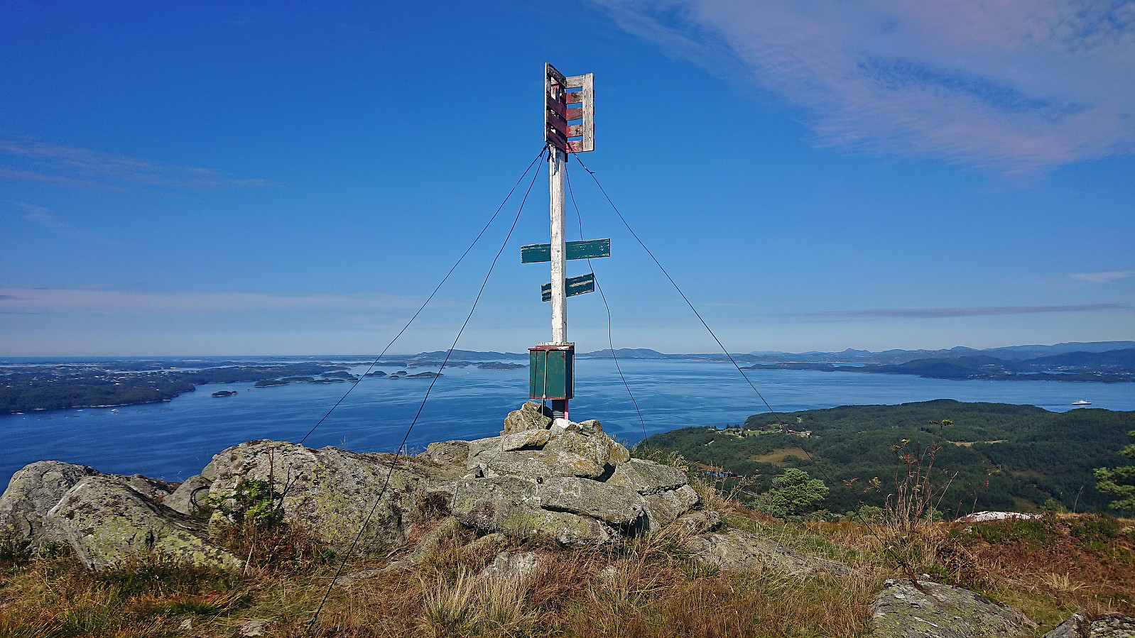
| Ascents | Gjøvågsvarden trig-punkt (305m) | 10.09.2022 |
|---|---|---|
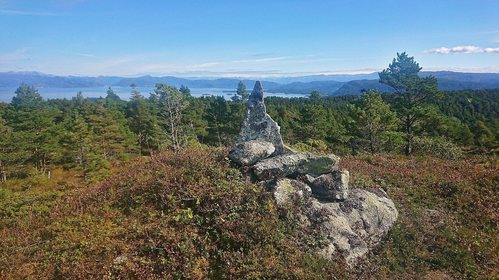
| Sør for Gjøvågsvarden (307m) | 10.09.2022 12:15 |
Gjøvågsfjellet
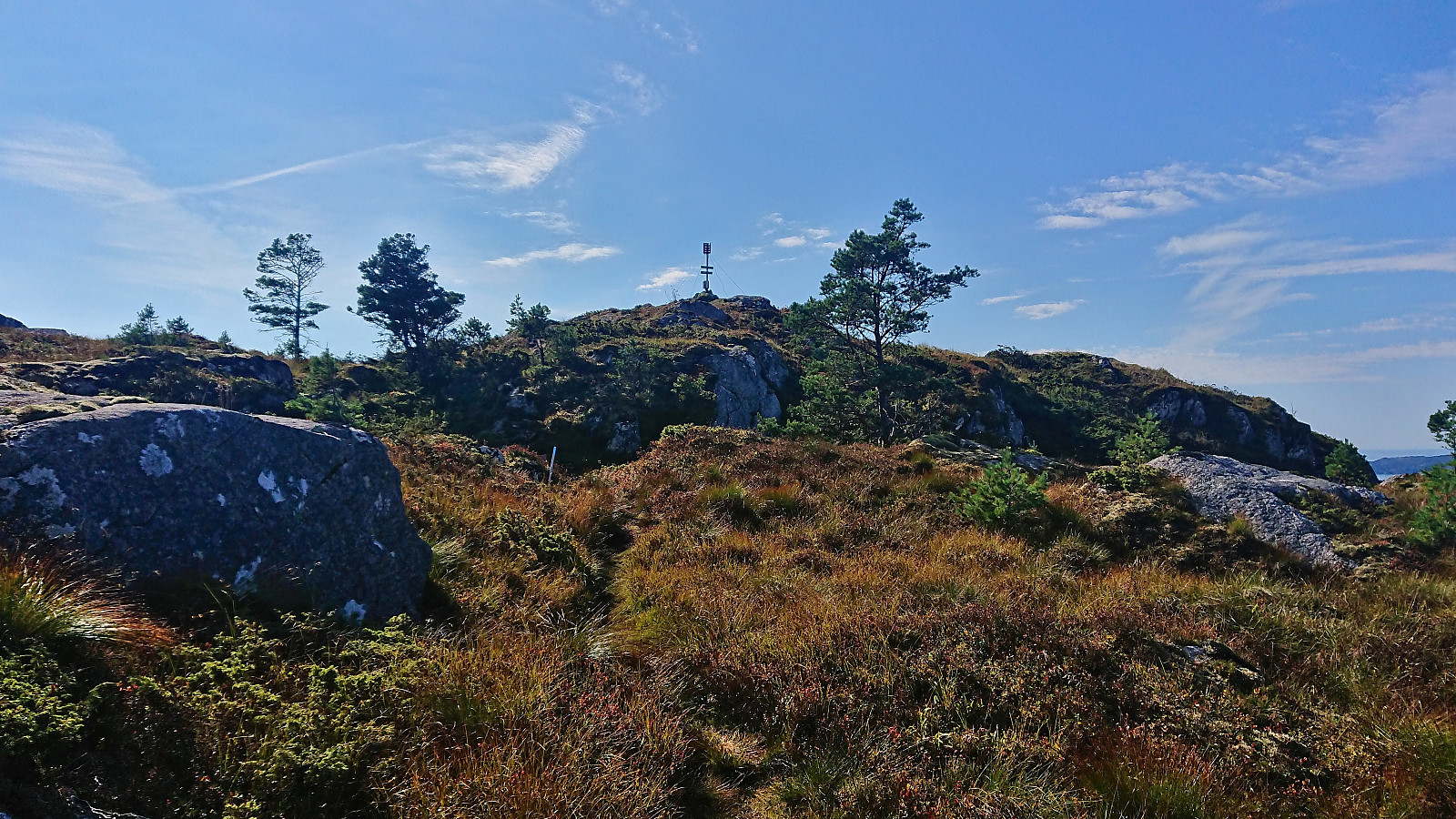
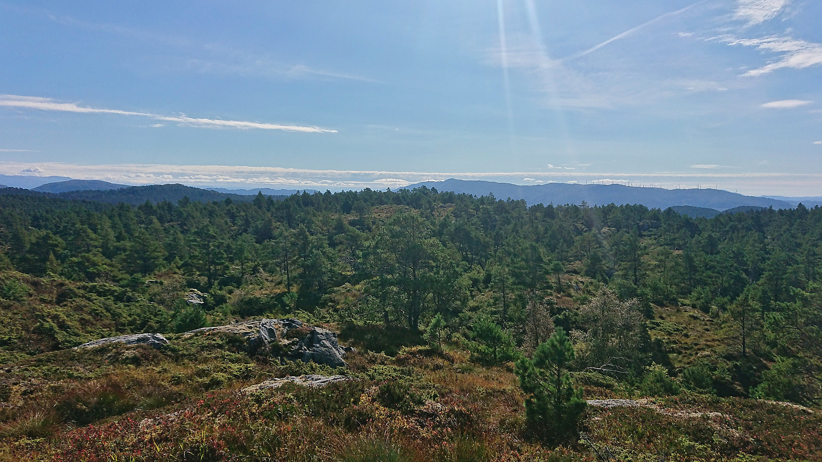
After cycling from Våge, I left my bike at the marked trailhead for Gjøvågsvarden and continued on foot along the marked trail. I quickly arrived at the trig marker indicating the summit and could enjoy its excellent panoramic views. However, earlier studies of the map had indicated that there was a slightly higher hill around 300 meters further south, and there was even a trail heading in this direction. I therefore continued along this trail, which, while a bit weaker than the trail to the trig marker, easily took me all the way to the small cairn marking this alternative southern summit. No sign next to the cairn itself, but just to the southwest there was a sign with the name Stålhuo, but whether this is the name of the summit or just the adjacent viewpoint I am not sure. In any case, I had now definitely visited the highest point of Gjøvågsfjellet and soon returned along the same route back to the road.


| Start date | 10.09.2022 12:19 (UTC+01:00 DST) |
| End date | 10.09.2022 13:30 (UTC+01:00 DST) |
| Total Time | 1h 10min |
| Moving Time | 1h 08min |
| Stopped Time | 0h 1min |
| Overall Average | 2.9km/h |
| Moving Average | 3.0km/h |
| Distance | 3.4km |
| Vertical meters | 275m |


User comments