
Cycling: Miklastofa and Reksteren (10.09.2022)

Written by hbar (Harald Barsnes)

| Start point | Våge kai (1m) |
|---|---|
| Endpoint | Våge kai (1m) |
| Characteristic | Bike trip - road |
| Duration | 5h 58min |
| Distance | 65.3km |
| Vertical meters | 1,531m |
| GPS |
|
| Visits of other PBEs | Miklastofa (22m) | 10.09.2022 |
|---|---|---|
| Gjøvågfjellet p-lomme (66m) | 10.09.2022 | |
| Haukafær p-plass (42m) | 10.09.2022 |
Cycling: Miklastofa and Reksteren
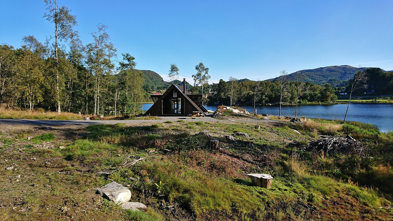
The northwestern part of Tysnes called Reksteren is not most easily accessible, at least not without a car. Cycling all the way there from Bergen is also quite far. I therefore started by bringing the bike with me on the bus to Halhjem and from there taking the ferry to Våge. After turning on the GPS tracking I then followed the roads towards Reksteren and Gjøvåg. On the way I made a quick visit of Miklastofa via the gravel road on the west side of Kyrkjevatnet. Note that southern part of this gravel road was not yet included on the map, but it did continue all the way to Uggdalseidet where there was a small parking lot and signs pointing to Miklastofa (no signs from the north).
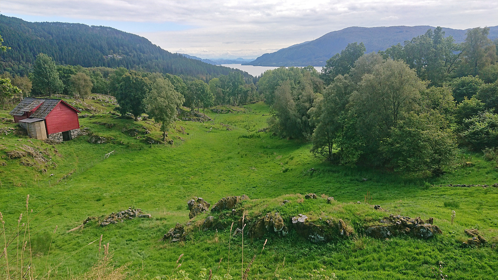
As I got closer to Reksteren the roads gradually got narrower, but the road quality was overall very good and with the limited traffic this area can definitely be recommended for cyclists. The only thing to keep in mind is that it is not as flat as it may appear, but lots of minor ups and downs along the way, thus taking slightly longer than expected. It should also be mentioned that there is one short tunnel called Eversviktunnelen just before the two bridges across Bårdsundet that Google Maps says you cannot cycle through, however it is only about 100 meters long and thus only slightly longer than the two tunnels next to Uggdalseidet that Google Maps has no issues with. This tunnel is also relatively wide, and you can see through it from each end, hence I did not have any hesitation cycling through it.
Upon arriving at the marked trailhead for Gjøvågsfjellet, I left the bike behind and continued on foot to the summit. After completing the hike, I returned along the same route to Våge for the ferry to Halhjem. Here I decided to again bring the bike with me on the bus to Bergen. This time it was however more challenging as the bus quickly became completely packed shortly after passing Osøyro, it was a Saturday evening after all, but in the end we finally arrived in Bergen and I could complete the trip by cycling home to Lønborg.
In summary, cycling at Reksteren can very much be recommended and is an excellent way of visiting the area. If going to/from Halhjem by bus one should however probably avoid Friday and Saturday evening. The alternative is to also cycle to/from Halhjem, which is a nice ride as well, but this will of course greatly increase the distance.
| Start date | 10.09.2022 09:51 (UTC+01:00 DST) |
| End date | 10.09.2022 15:50 (UTC+01:00 DST) |
| Total Time | 5h 58min |
| Moving Time | 4h 37min |
| Stopped Time | 1h 21min |
| Overall Average | 10.9km/h |
| Moving Average | 14.1km/h |
| Distance | 65.3km |
| Vertical meters | 1,530m |


User comments