
Borninolten via Skarvavatnet (04.09.2022)

Written by hbar (Harald Barsnes)

| Start point | Skarvastølsvegen (501m) |
|---|---|
| Endpoint | Skarvastølsvegen (501m) |
| Characteristic | Hillwalk |
| Duration | 2h 25min |
| Distance | 6.5km |
| Vertical meters | 471m |
| GPS |
|
| Ascents | Borninolten (955m) | 04.09.2022 |
|---|
Borninolten via Skarvavatnet

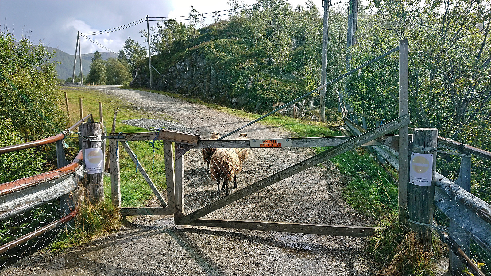
After yesterday's long hike in Modalen, me and Fjellsamleren (Endre Myrdal Olsen) decided on a shorter trip the next day. We ended up with Bergsdalen, as it required much less driving and included several easily accessible summits that neither of us had yet visited. We started by driving to Bergsvatnet and had intended to cross the bridge next to Bergsfossen where a small parking lot was indicated on the map. But at the end of the bridge there was a gate with a sign stating that continuing was only allowed if given permission. There was however room for a couple of cars next to the main road at the start of the bridge, hence we left the car there and continued on foot.
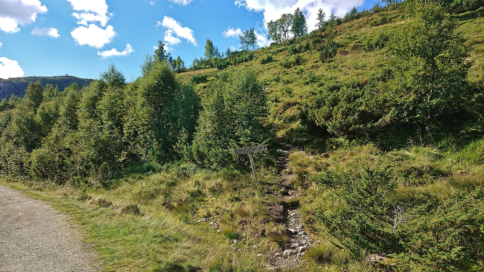
It did not take long before we came across a trail for Skarvavatnet which we then proceeded to follow assuming it would take us at least part of the way to Borninolten. Soon we however split up as Endre also wanted to visit Gråfjellet, a summit I had visited two months earlier as part of my hike from Lid to Vaksdal via Høgabu. Splitting up also allowed me to take it very easy as my hike would be significantly shorter than Endre's. I therefore decided to simply first follow the trail to Skarvavatnet and then ascend off-trail from there.
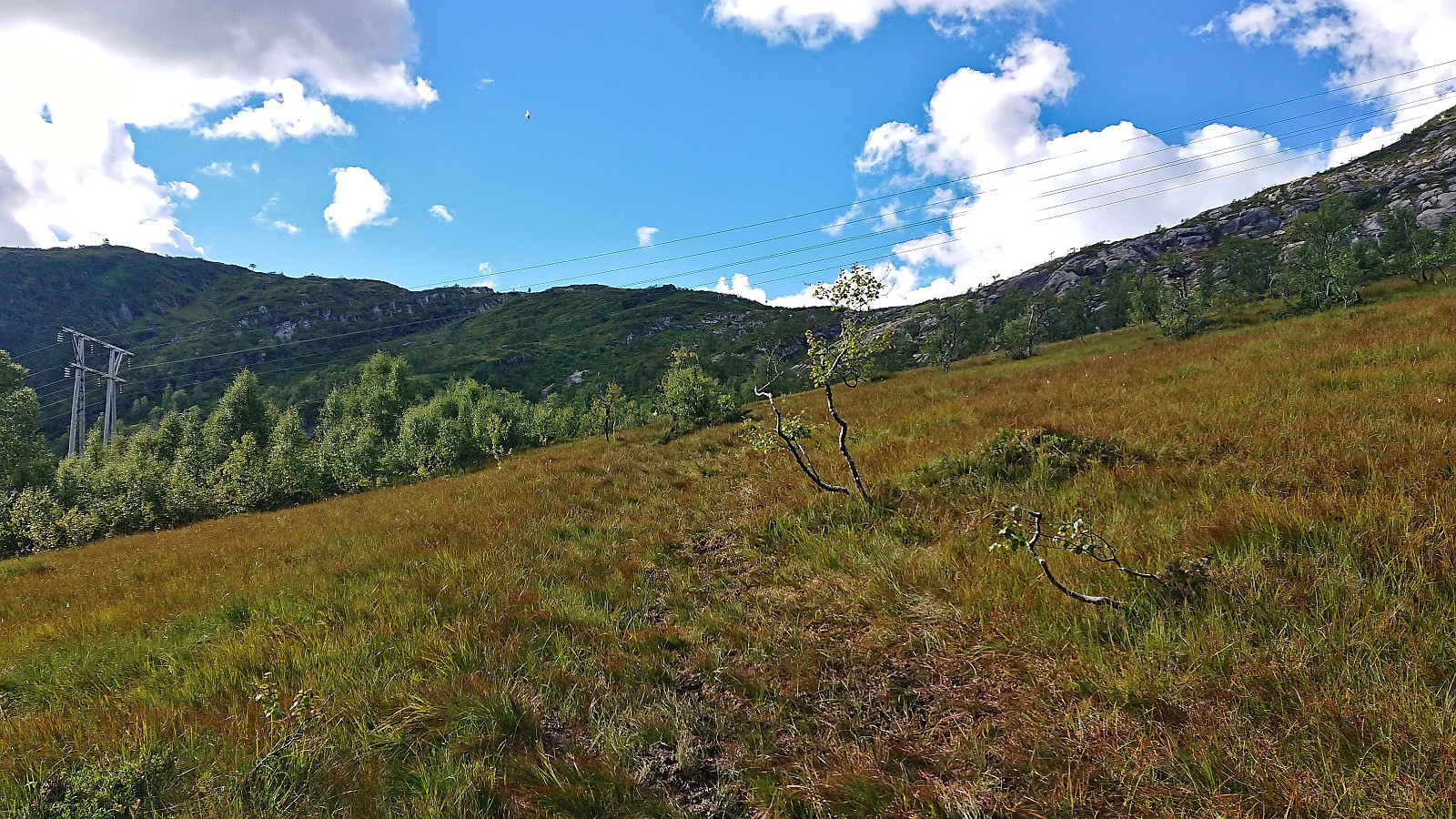
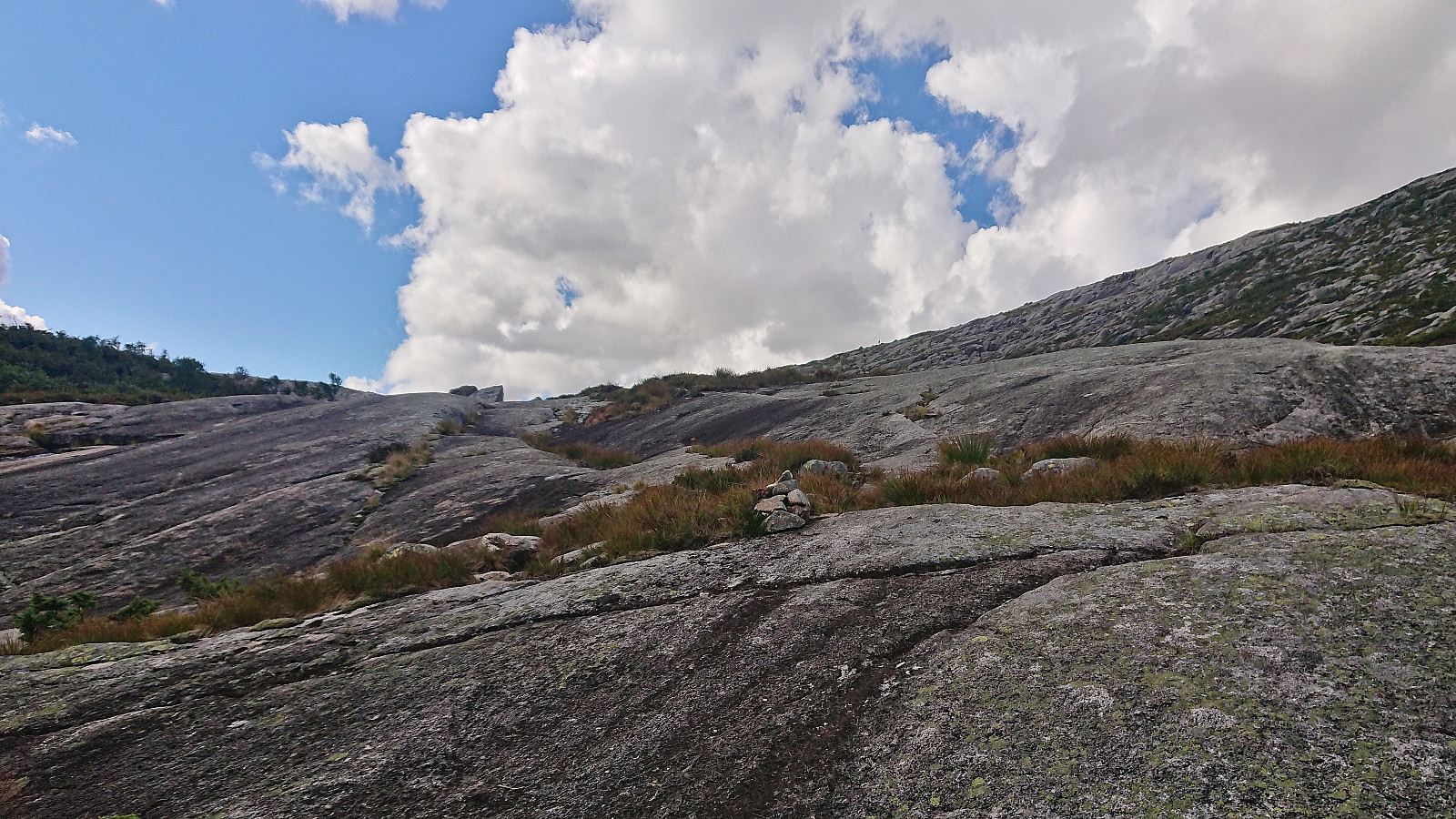
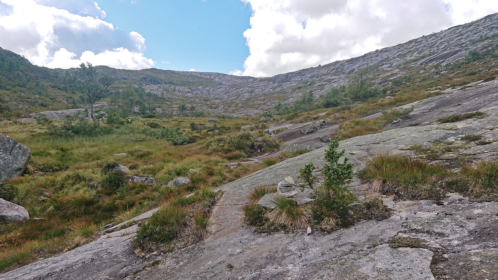
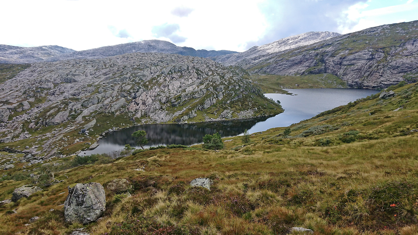
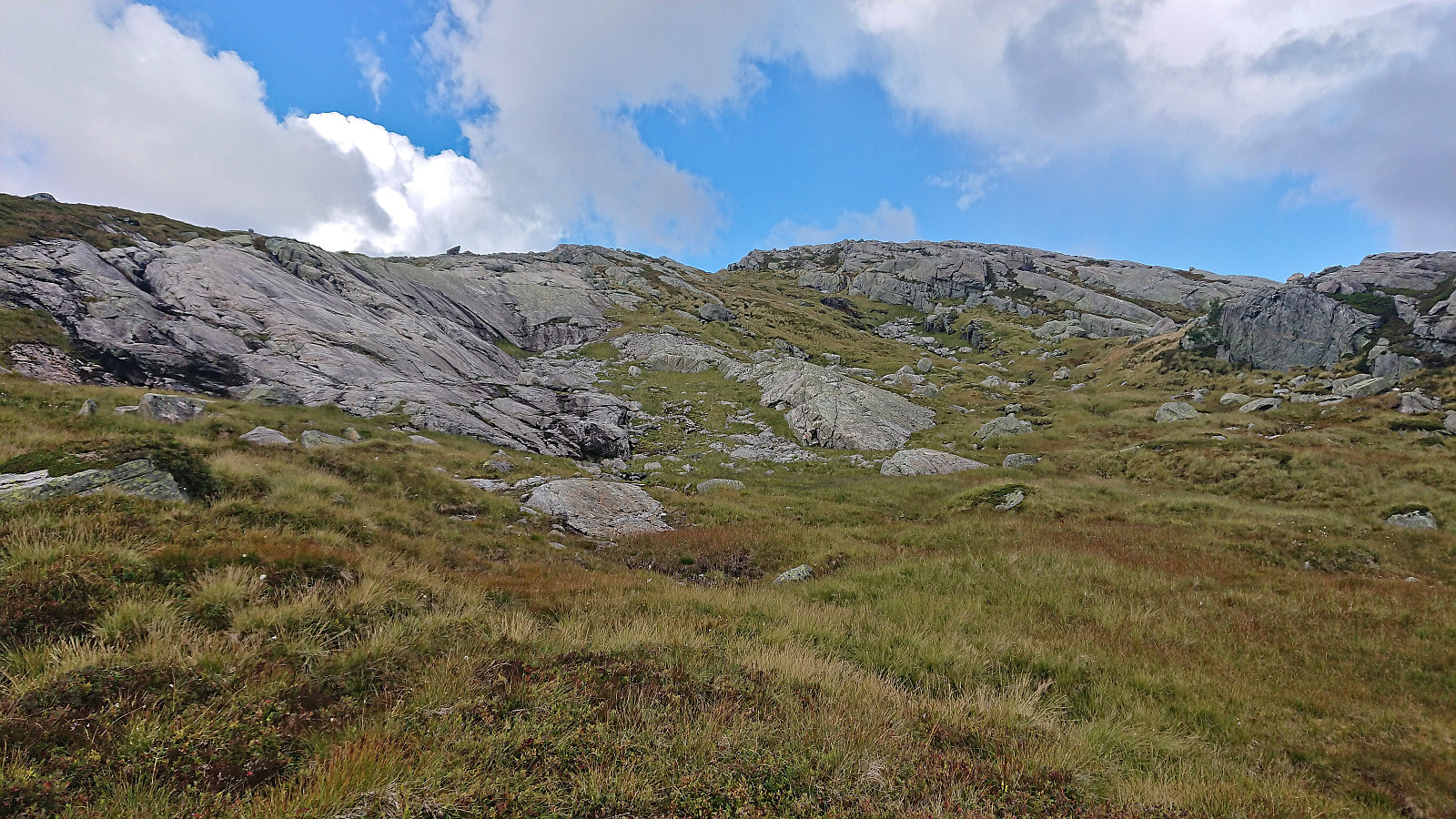
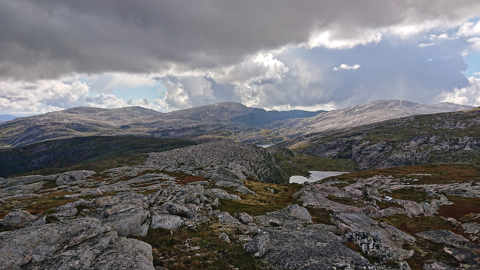
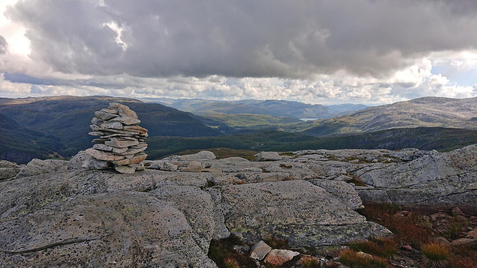
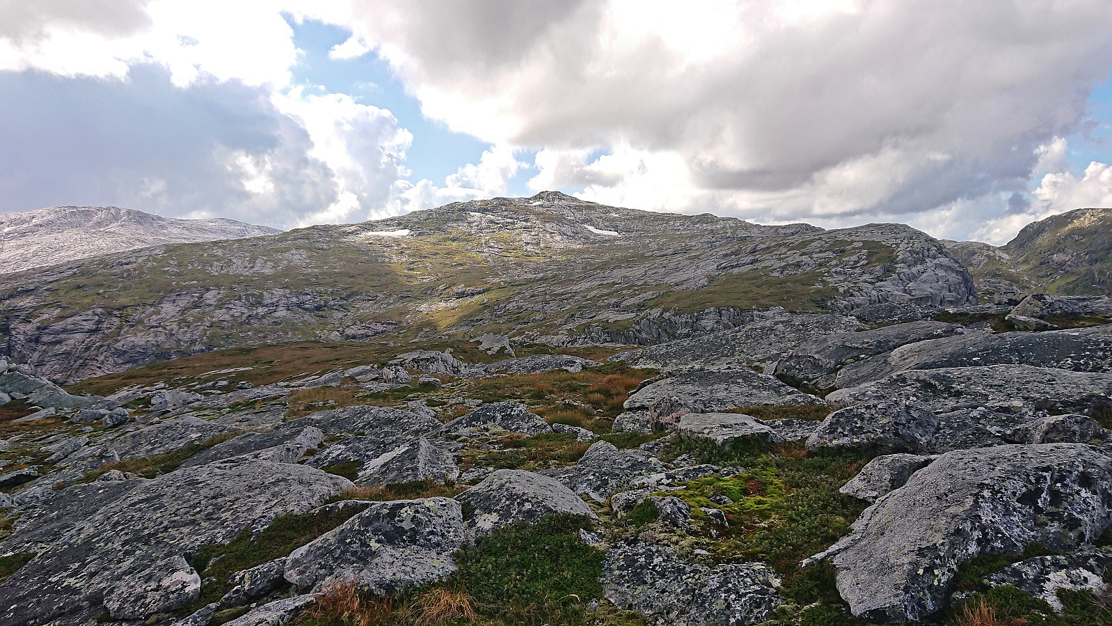
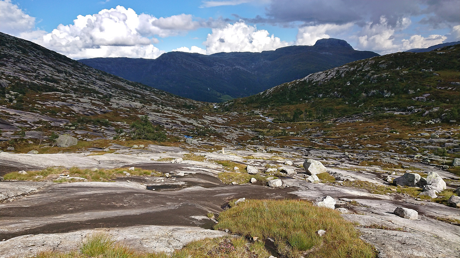
The first part of the trail was quite wet as it crossed an open field. Then there was a short steeper section with a rocky surface that can be a bit challenging if wet (more on that later), before levelling off with small cairns showing the way to the lake. No trails from the lake towards the summit as far as I could tell (or any at all for that matter), but the terrain was easy to traverse and I quickly made it to the cairn marking the highest point.
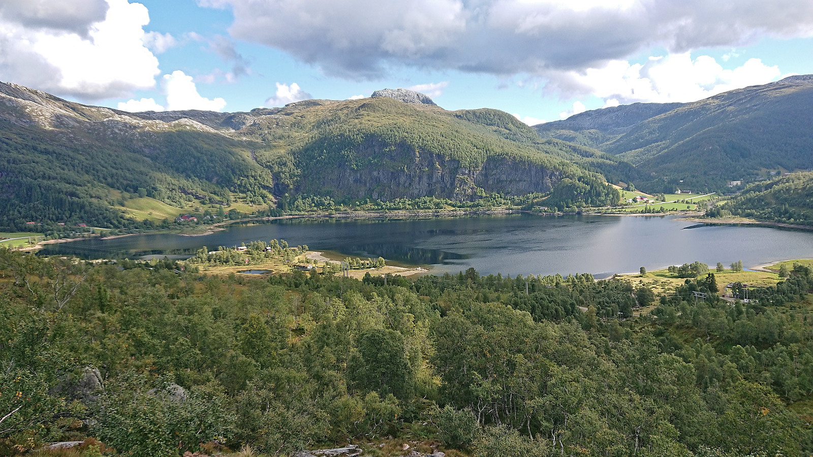
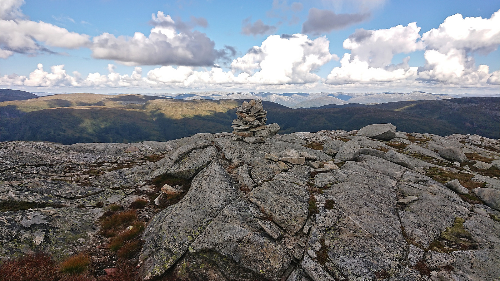
Great views from the summit, but today reduced by distant rain showers and a sun hiding behind the clouds. A couple of rain drops made it my way as well, hence I did not stay long before starting my descent back to the trail in Skarvadalen. The rain however soon stopped and I took a break halfway down to enjoy the views and eat my lunch, if only to not have to wait too long for Endre when reaching the car.
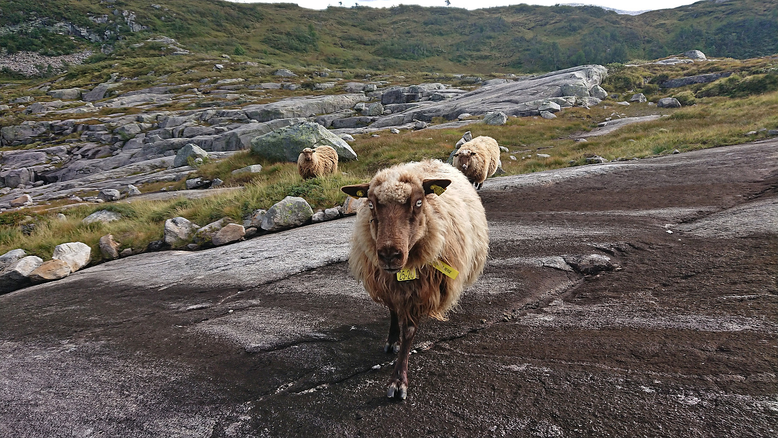
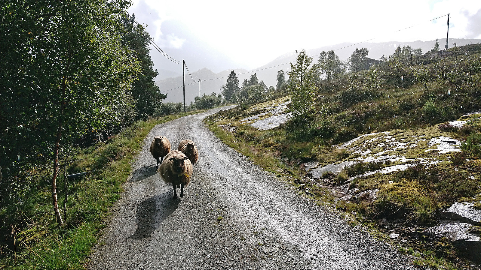
Shortly after continuing my descent I attracted the interest of three sheep which proceeded to follow me and refusing to be chased away. They did not give up until I passed through the gate at the bridge at the very end. During the last part of the descent it also started raining quite heavily, of course increasing in intensity just as I arrived at the beforementioned steeper section making the rocky surface very slippery.
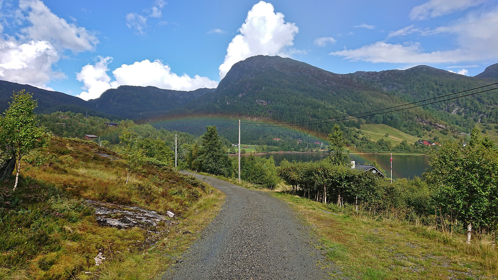
The upside to the rain shower was the appearance of a rainbow at the end of the hike. Luckily we had made sure that I had the key to the car and I could thus wait for Endre inside the car. When Endre arrived around 15 minutes later it had finally stopped raining and we shortly continued to our next and final goal of the day, namely Såta.
In summary, the route to Borninolten via Skarvavatnet can very much be recommended but is clearly a hike that ought to be done when the rocky surfaces, both the steep section of the trail and the off-trail descent from the summit, are relatively dry.

| Start date | 04.09.2022 11:28 (UTC+01:00 DST) |
| End date | 04.09.2022 13:54 (UTC+01:00 DST) |
| Total Time | 2h 25min |
| Moving Time | 1h 55min |
| Stopped Time | 0h 30min |
| Overall Average | 2.7km/h |
| Moving Average | 3.4km/h |
| Distance | 6.5km |
| Vertical meters | 470m |


User comments