
Four summits around Norddalshytten from Åsabotnen (03.09.2022)

Written by hbar (Harald Barsnes)

| Start point | Åsabotnen (905m) |
|---|---|
| Endpoint | Åsabotnen (905m) |
| Characteristic | Hillwalk |
| Duration | 10h 03min |
| Distance | 32.3km |
| Vertical meters | 1,853m |
| GPS |
|
| Ascents | Runderabben (1,292m) | 03.09.2022 |
|---|---|---|
| Sundagsfjellet (1,257m) | 03.09.2022 | |
| Sør for Store Norddalsvatnet (1,248m) | 03.09.2022 | |
| Vest for Åsabotnen (1,206m) | 03.09.2022 | |
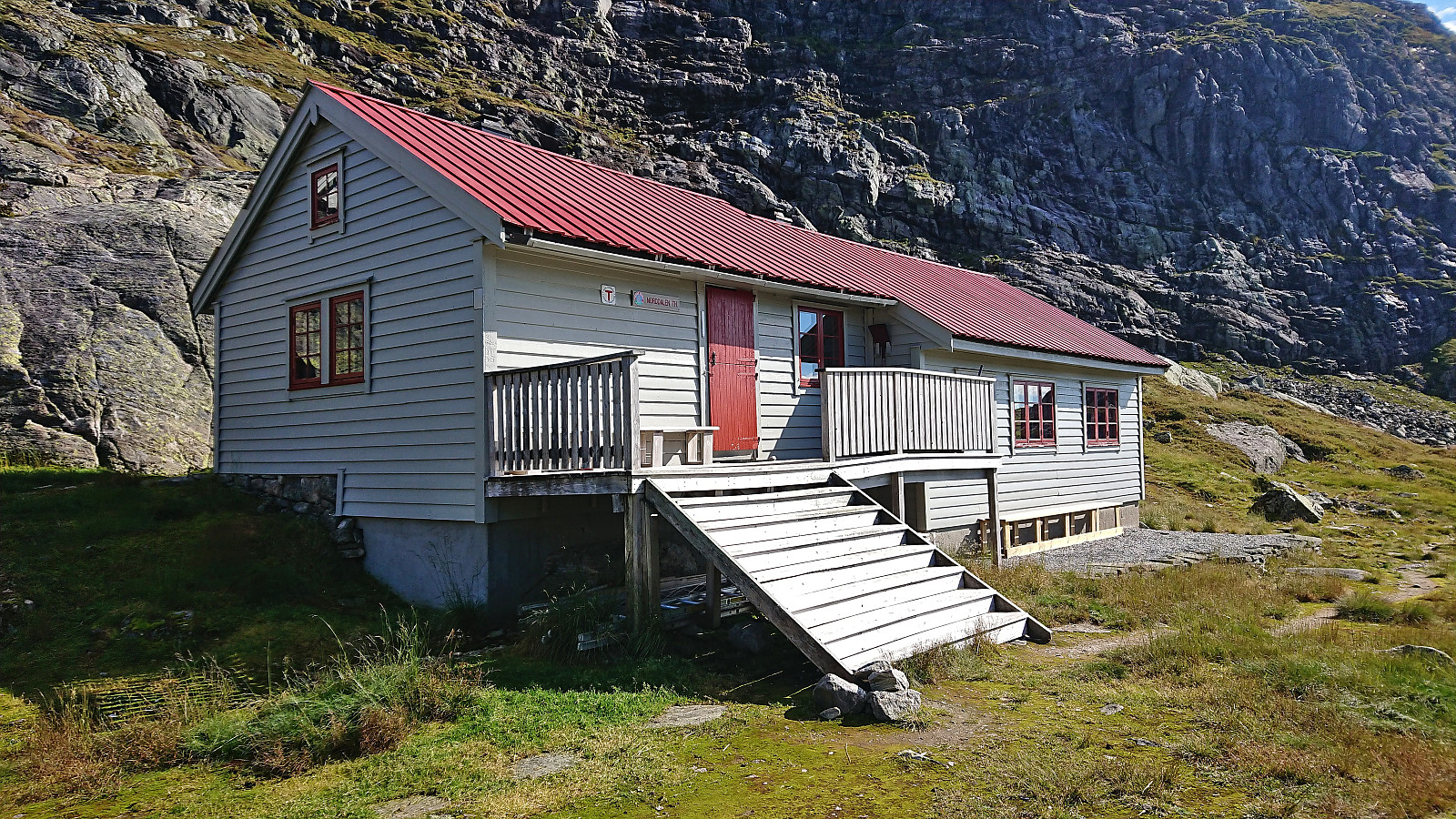
| Visits of other PBEs | Norddalshytten (1,004m) | 03.09.2022 |
Four summits around Norddalshytten from Åsabotnen

In the first joint hike with Fjellsamleren (Endre Myrdal Olsen) in almost exactly one year, we decided on the north of Modalen as our target area and hoped to get the time to visit all of the four summits around Norddalshytten.
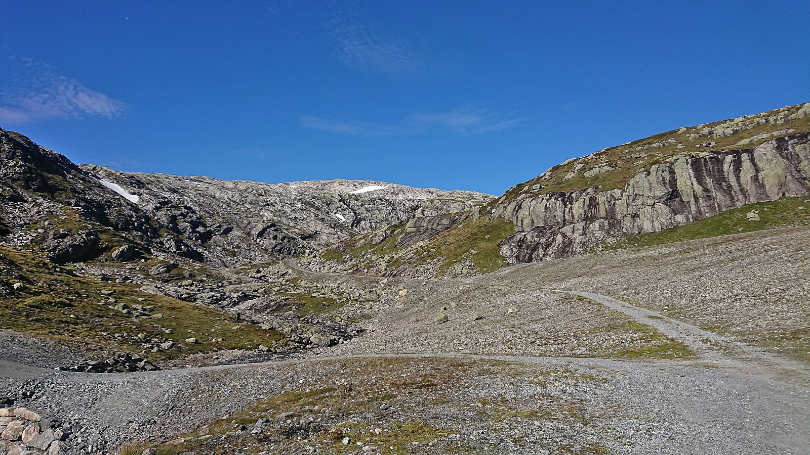
At the north end of Steinslandsvatnet we therefore continued northeast on a gravel road taking us up to the dam at Stølsvatnet. Here there was a parking lot for hikers, but as the road continued climbing, and was still of good quality, we continued north, making it to the unnamed small 895 lake in Åsabotnen before finally parking the car next to the road. Turned out that we could probably have continued around the next bend, but there the road was slightly rougher and it was only a matter of maybe 700 meters to the end of the road anyway.
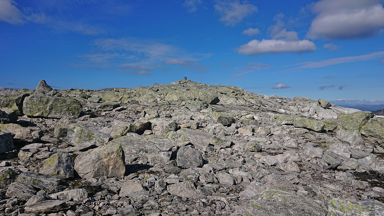
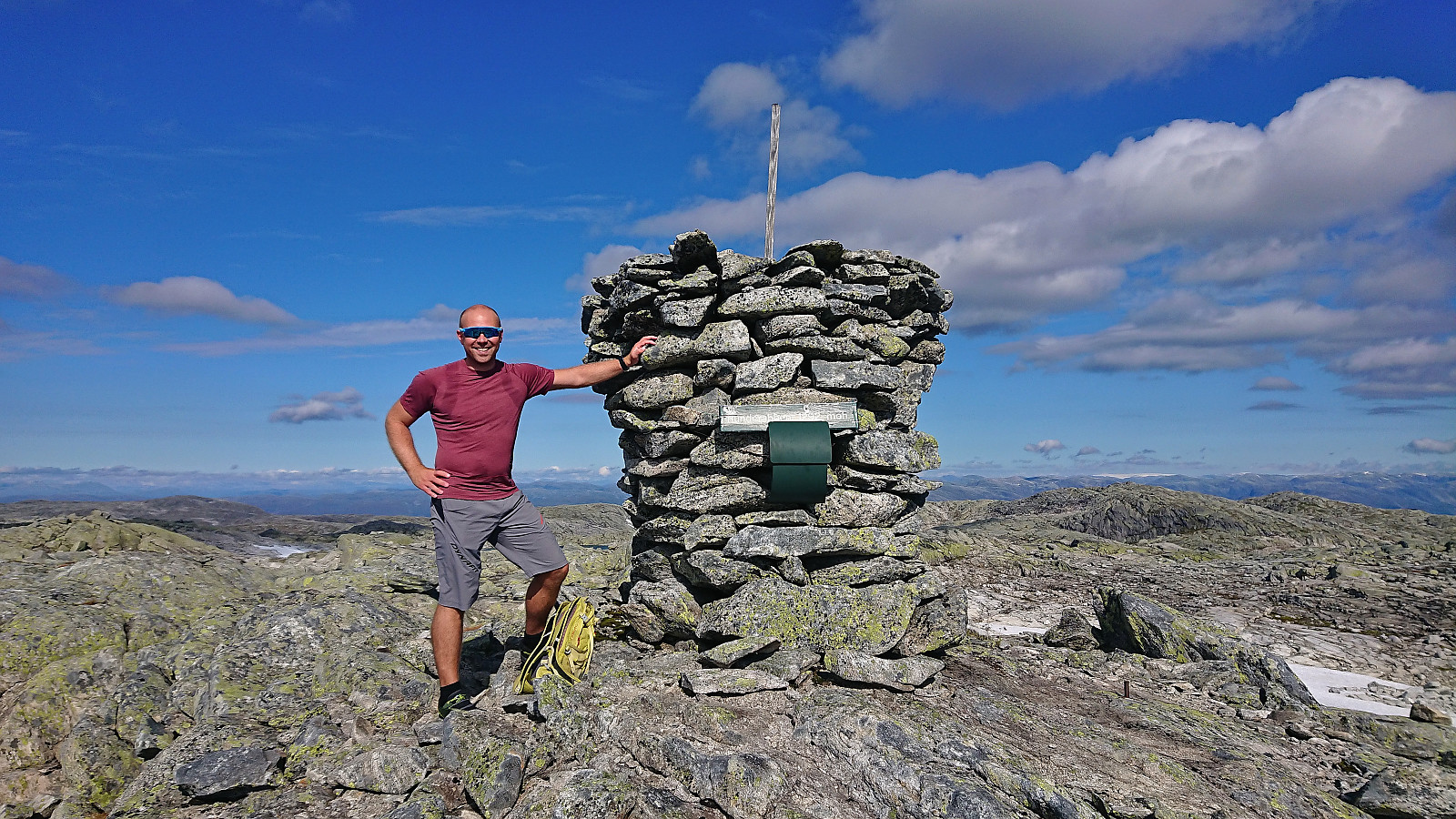
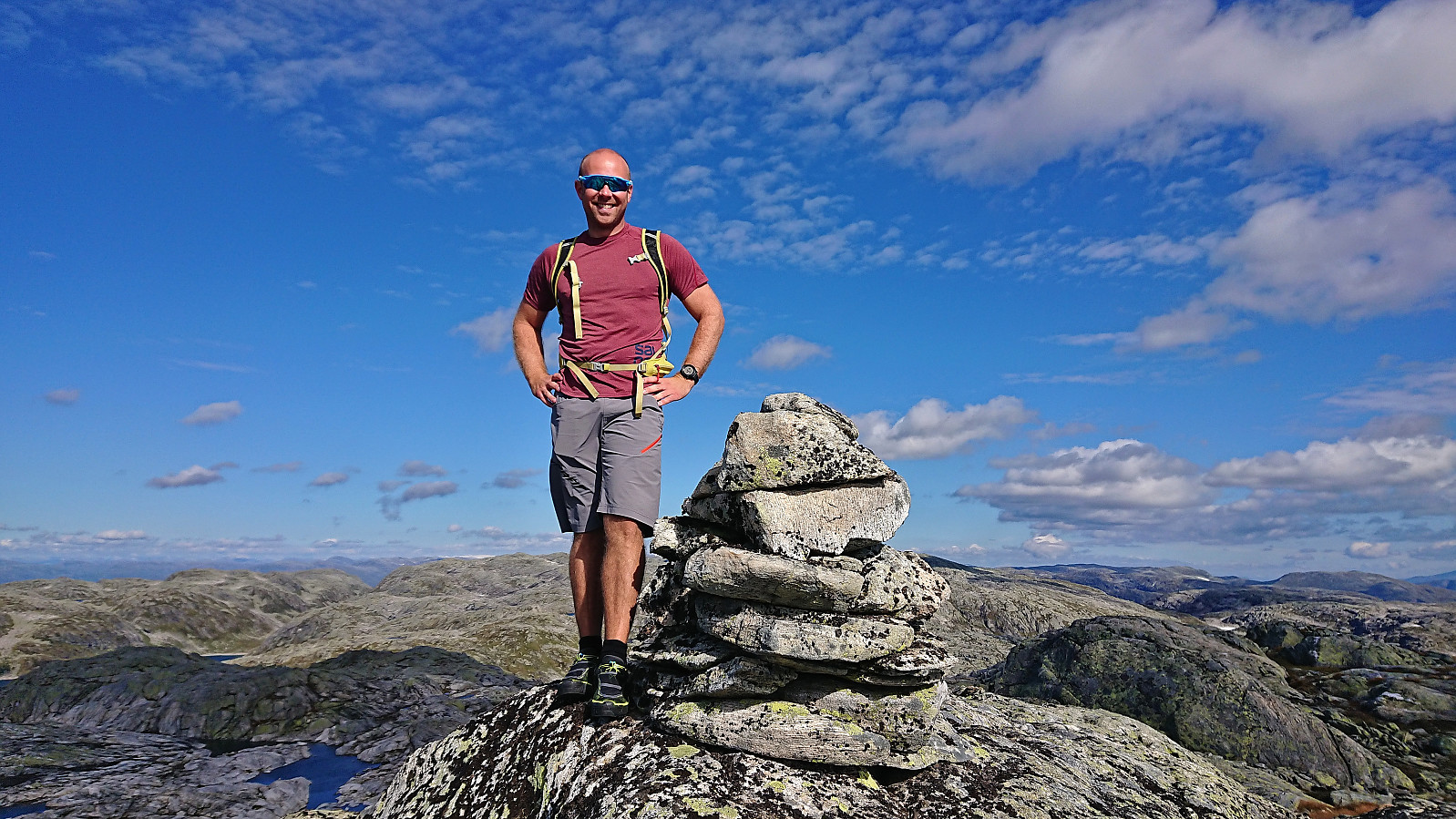
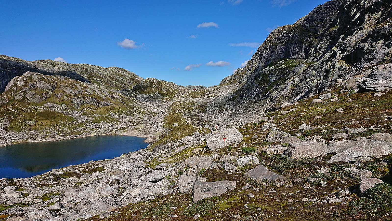
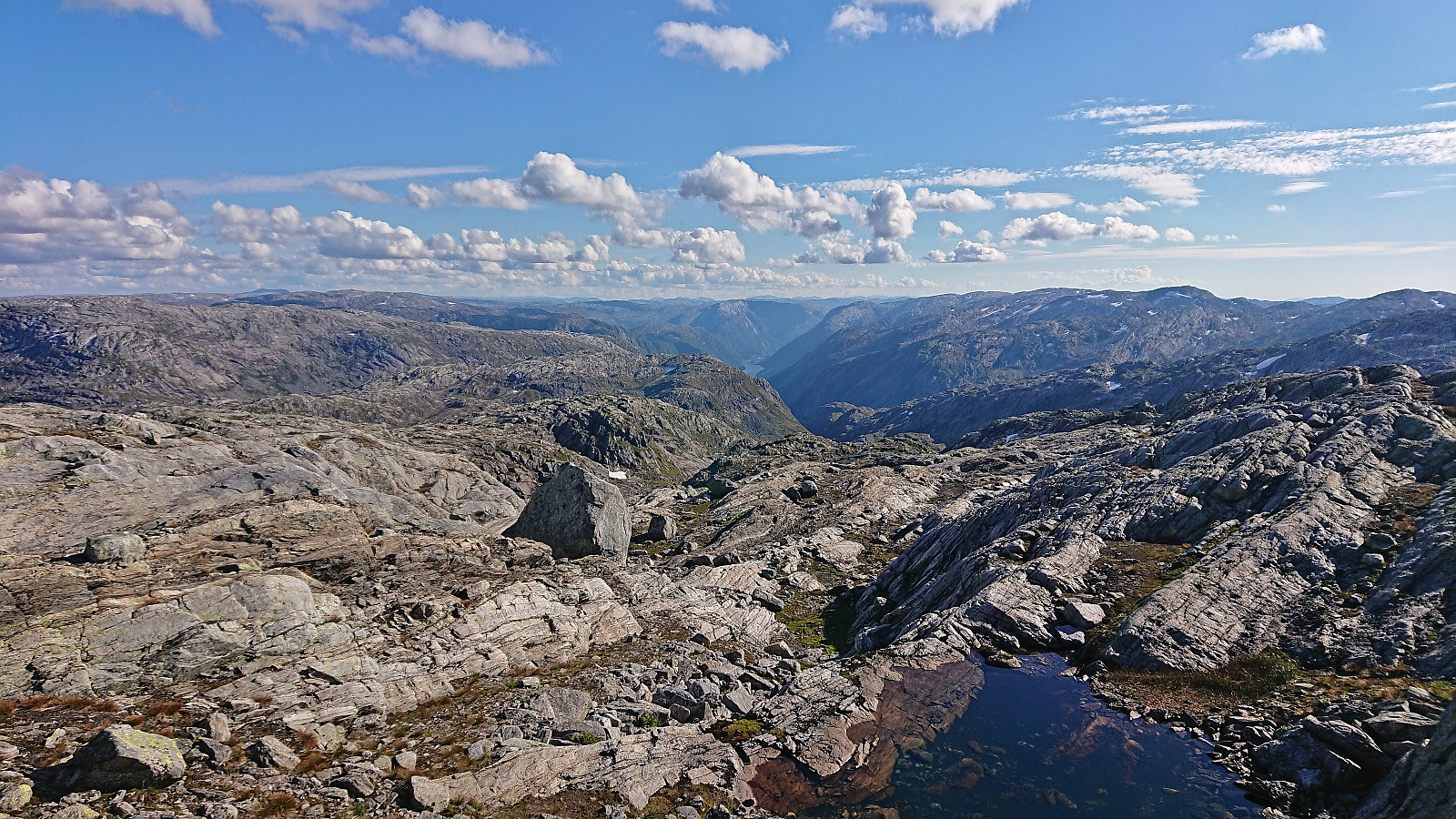
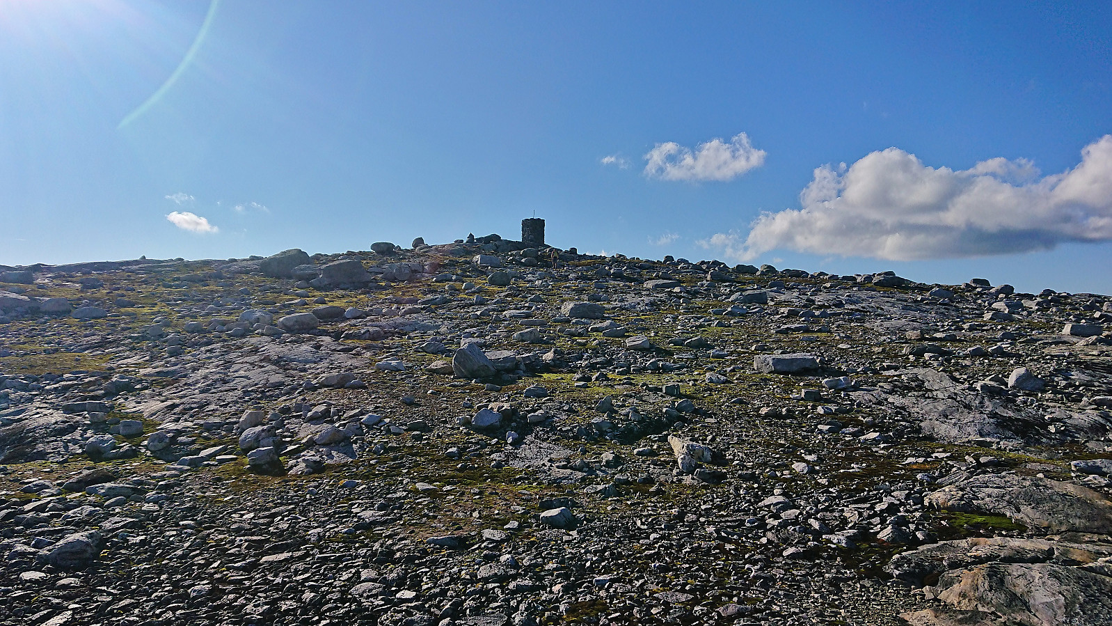
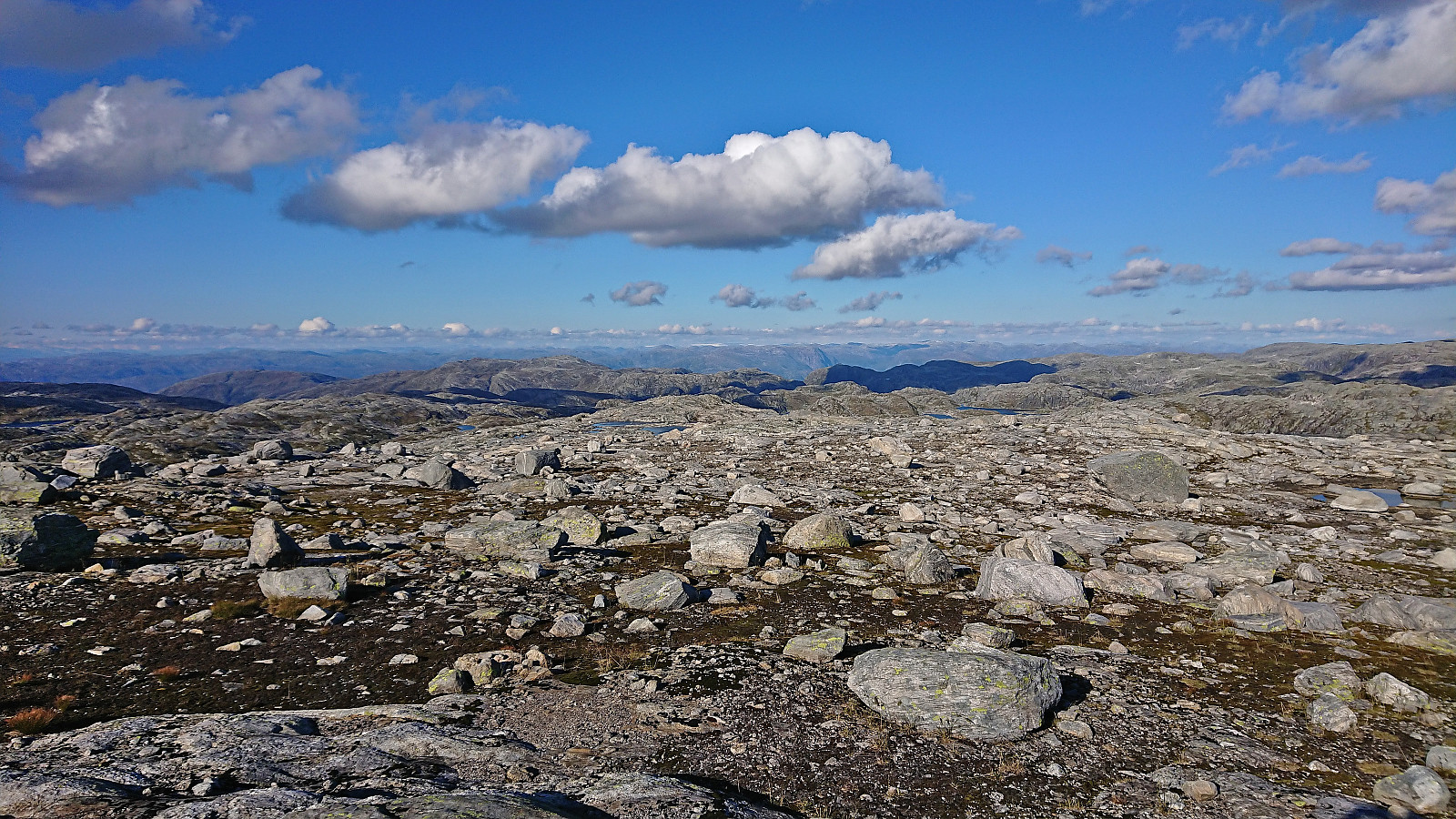
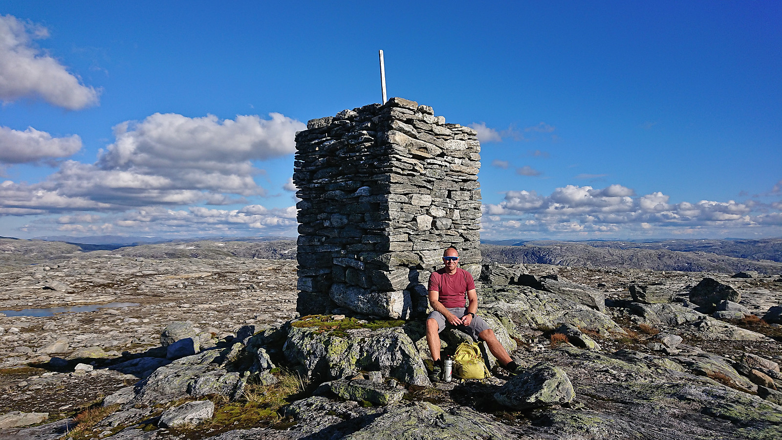
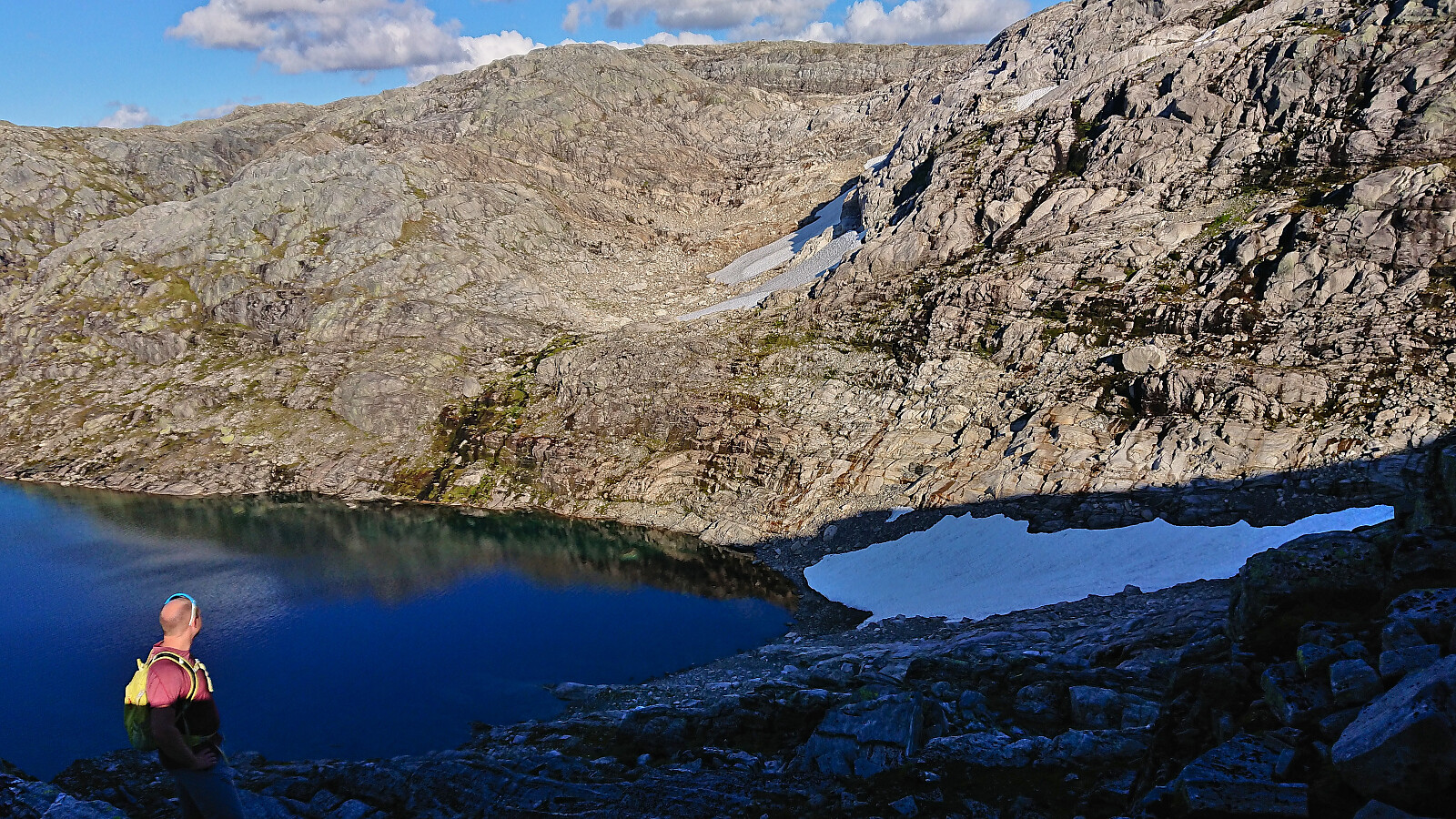
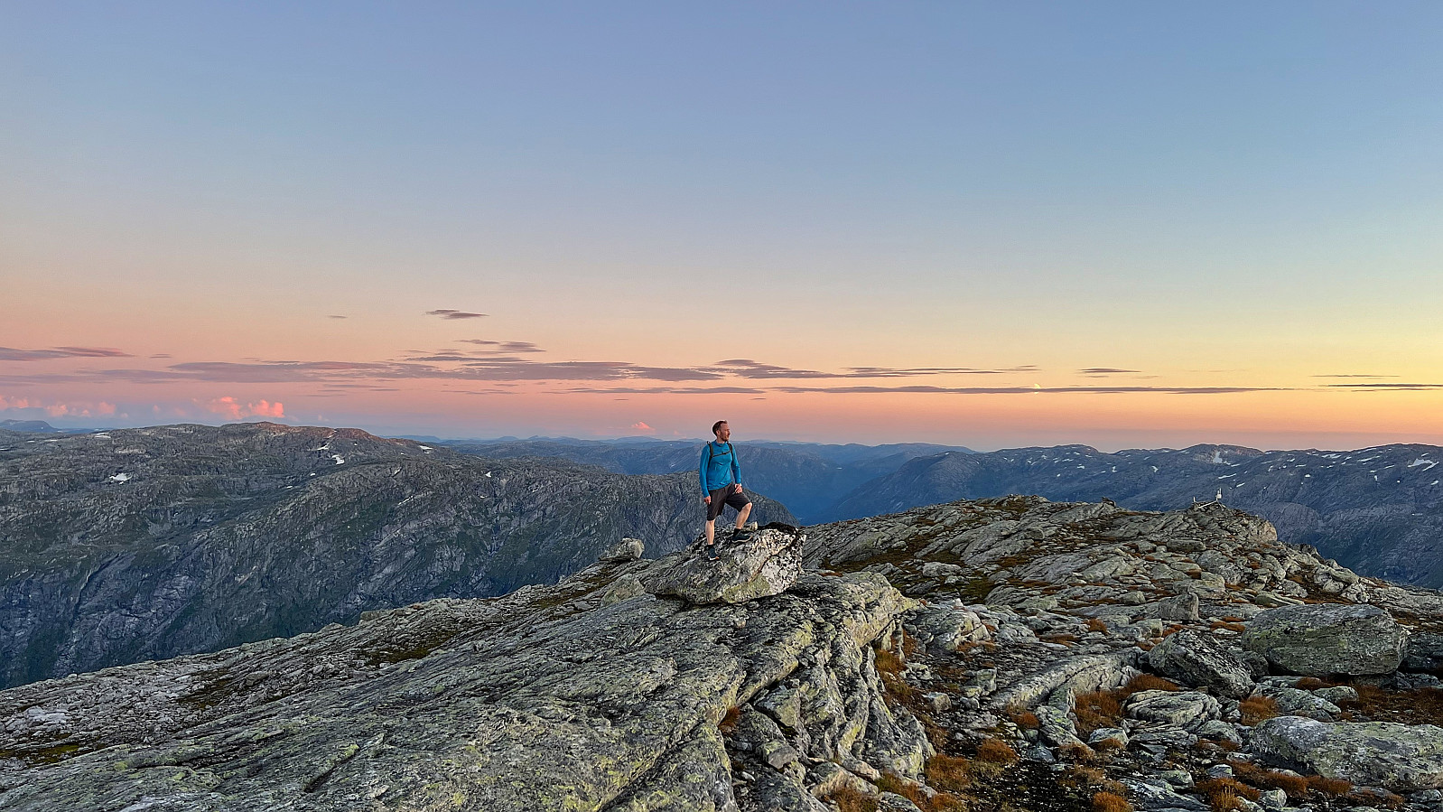
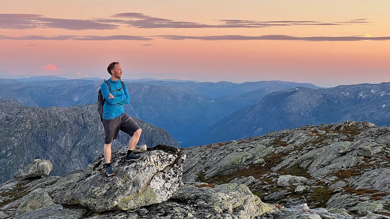
The marked trailhead at the end of the road was easily located and we followed it north towards our first goal of the day: Runderabben. First along a trail marked with red T's and later following small cairns and blue markers all the way to the summit. Excellent panoramic views with at least three glaciers visible in the distance and we could even spot a tiny bit of Sognefjorden.
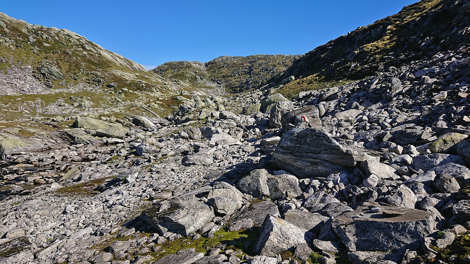
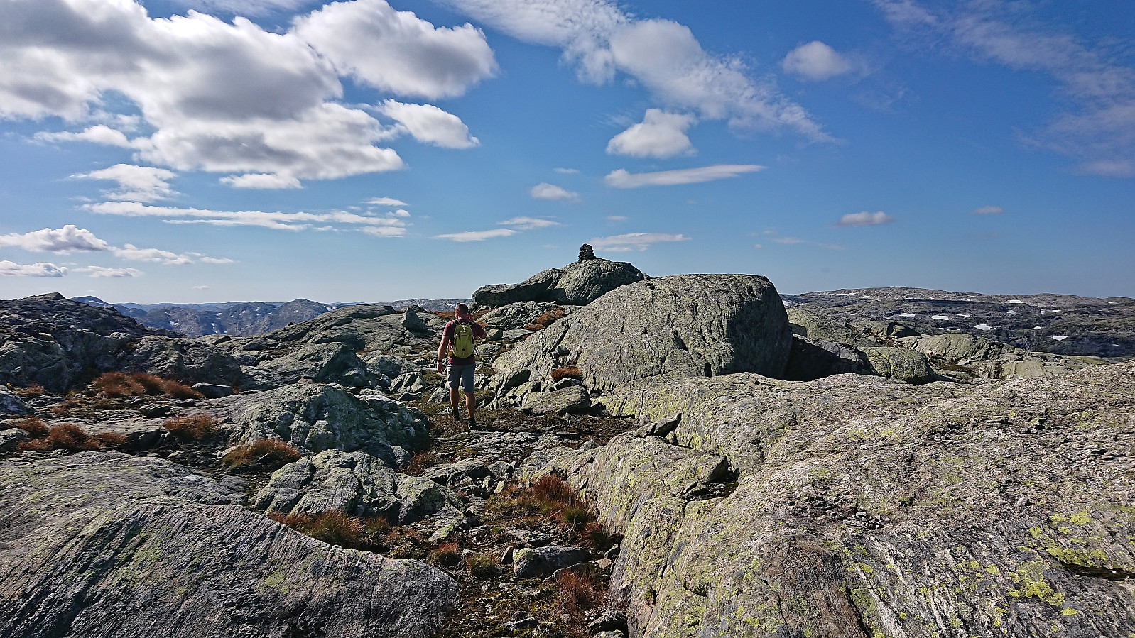
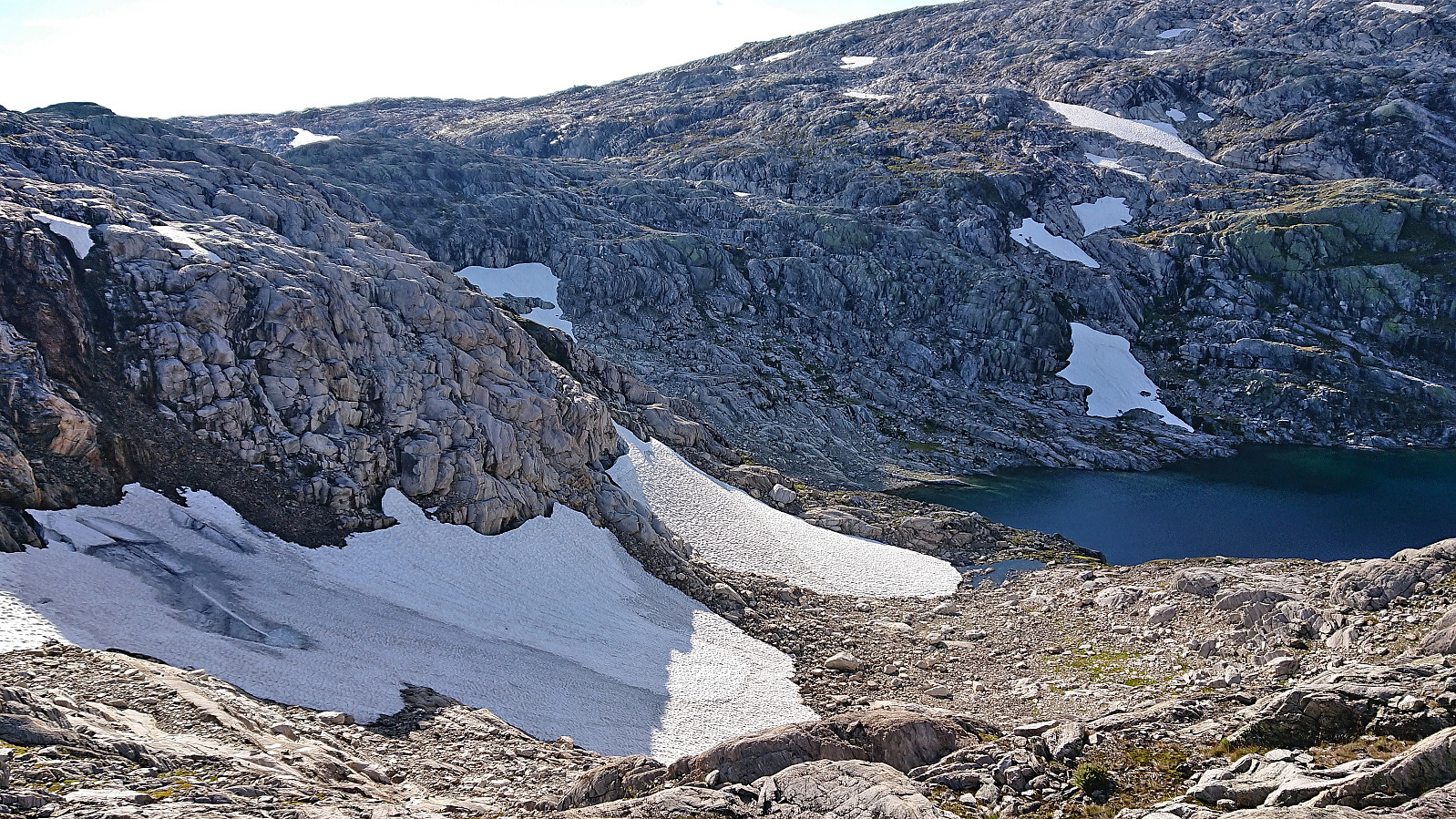
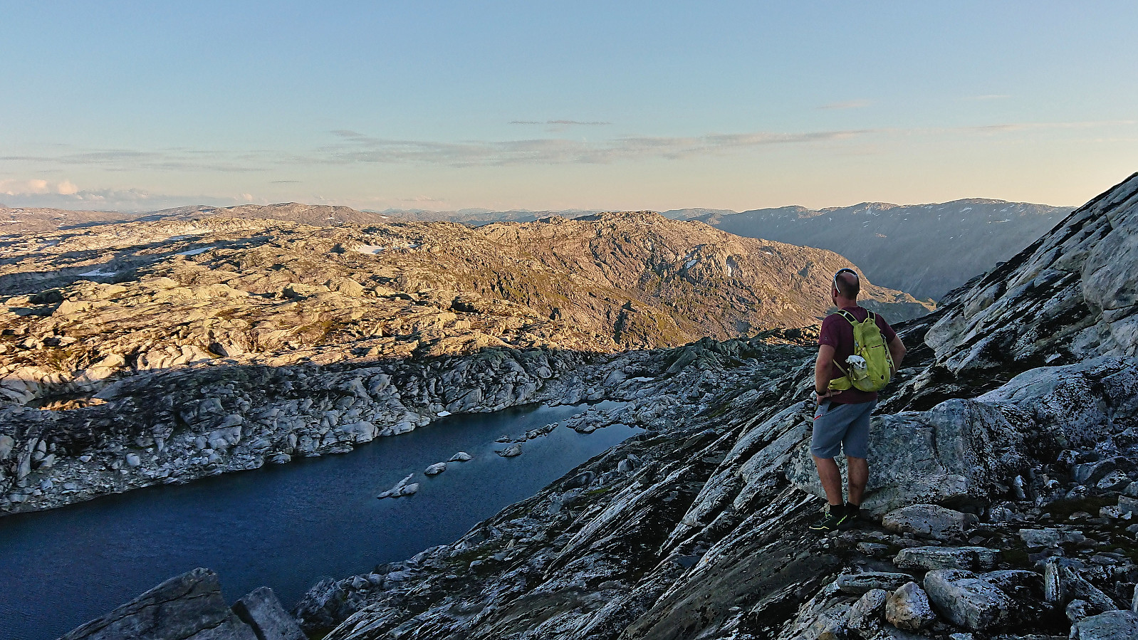
Next, we turned southwest towards the summit simply named S av Nordalsvatn. This required lots of minor ups and downs, a trend that would last for the rest of the day, and even a steep area that we had to navigate our way around. Soon we were however on the marked trail to Norddalshytten, which we could then follow until almost at the highest point of S av Nordalsvatn, only requiring a minor off-trail detour to reach the cairn marking the summit.
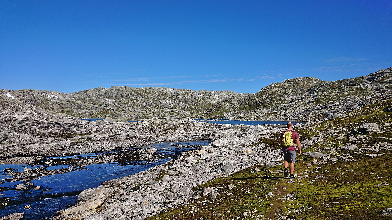
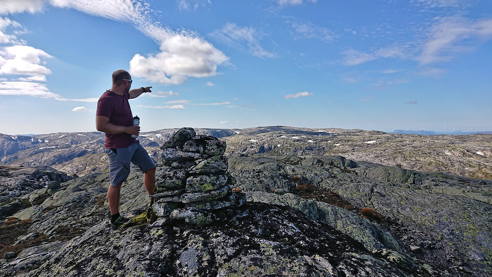
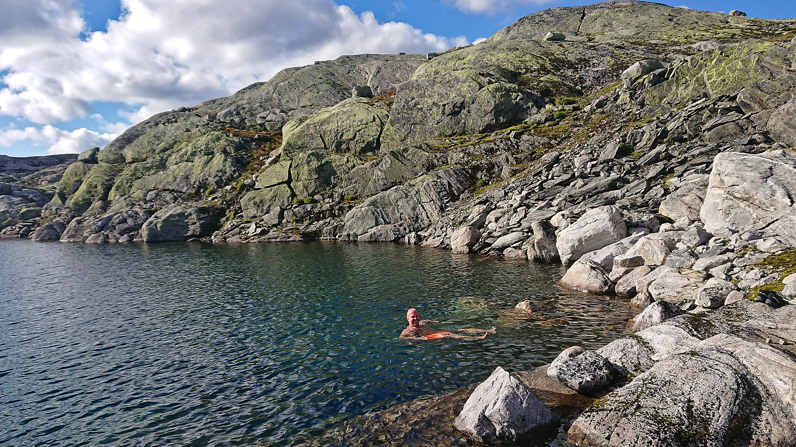
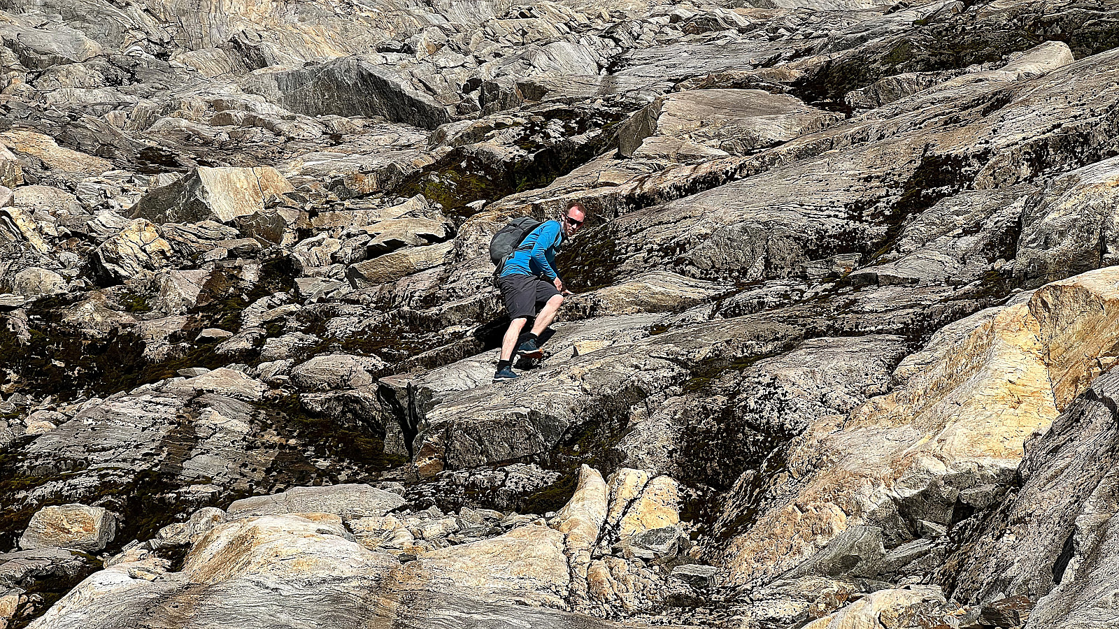
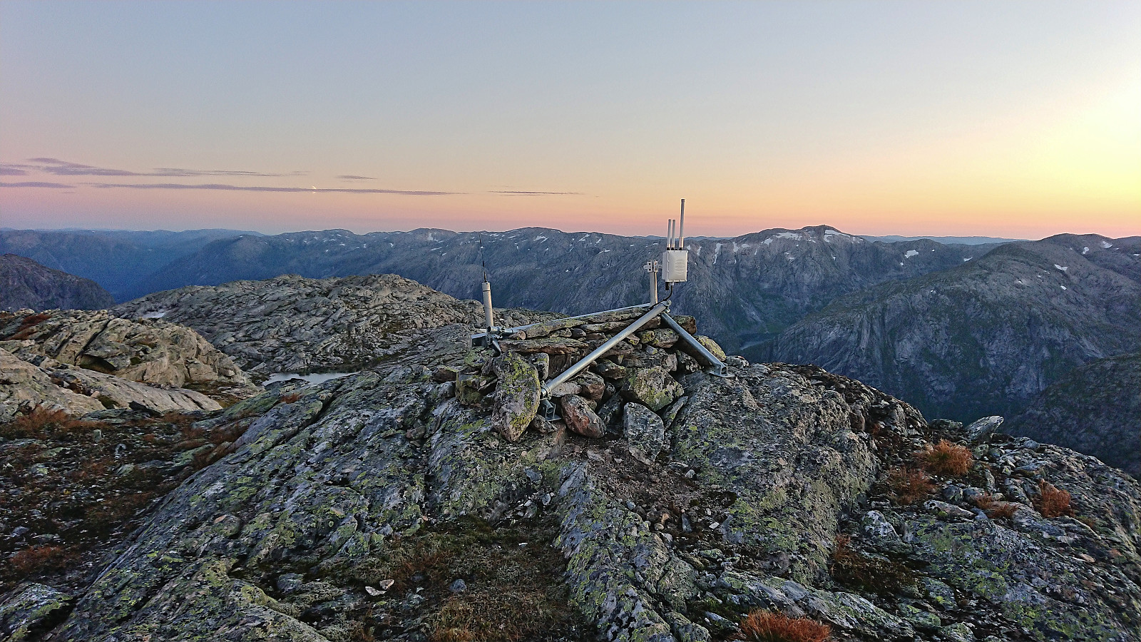
After returning to the trail, we proceeded to follow it to Norddalshytten where we had a short lunch break outside the cabin before continuing west to Sundagsfjellet. We briefly followed the trail north, before navigating off-trail towards Sundagsfjellet, managing to find a route that overall avoided unnecessary detours and steep areas. After descending relatively steeply down to Isvatnet east of the summit, we were finally ready for the final ascent, including a bit of scrambling, to the large cairn at Sundagsfjellet. While definitely requiring careful navigation in rugged terrain, the summit was in the end reached without any real challenges.
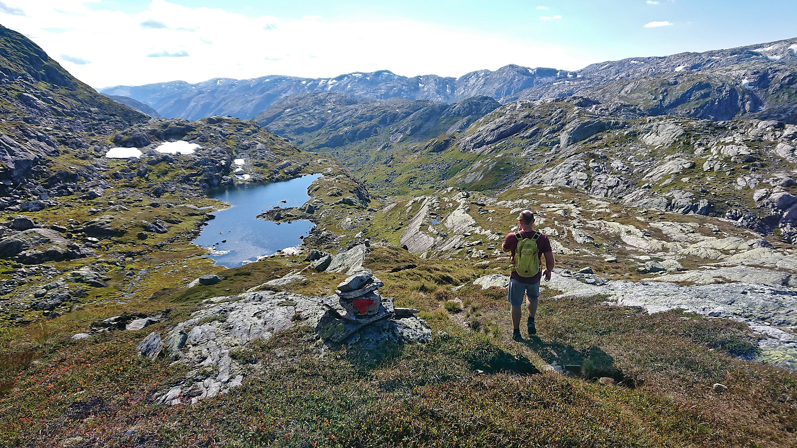
We returned along more or less the same route to Norddalen, only making a minor shortcut at the end to arrive just to the south of Norddalshytten, before reascending up the marked trail almost to S av Nordalsvatn where we made an off-trail shortcut in between the summit and the 1245 hill to the southwest.
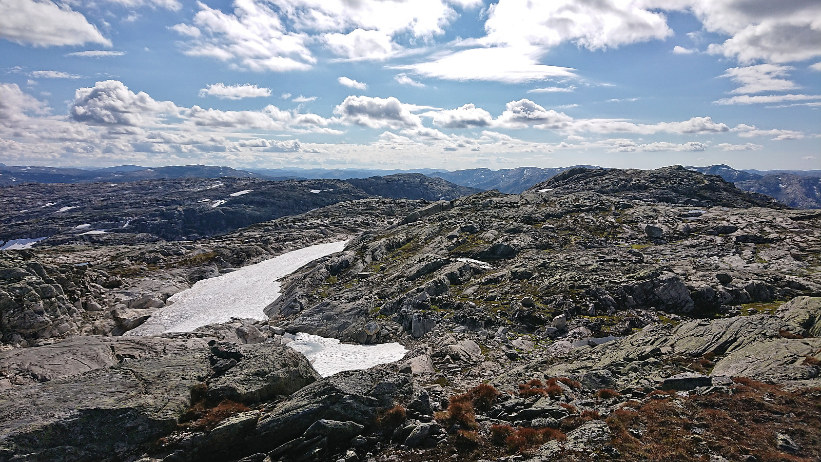
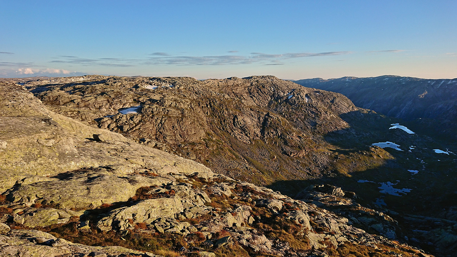
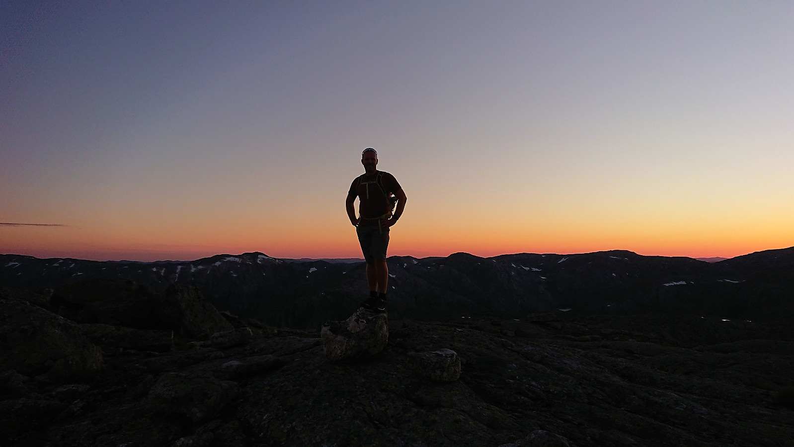
Still off-trail, which would be the case for the rest of the hike, we then navigated our way towards the final summit of the day, namely V av Åsabotnen. Our route required a bit of easy scrambling to reach the plateau northeast of the summit, but other than that it was overall straightforward.
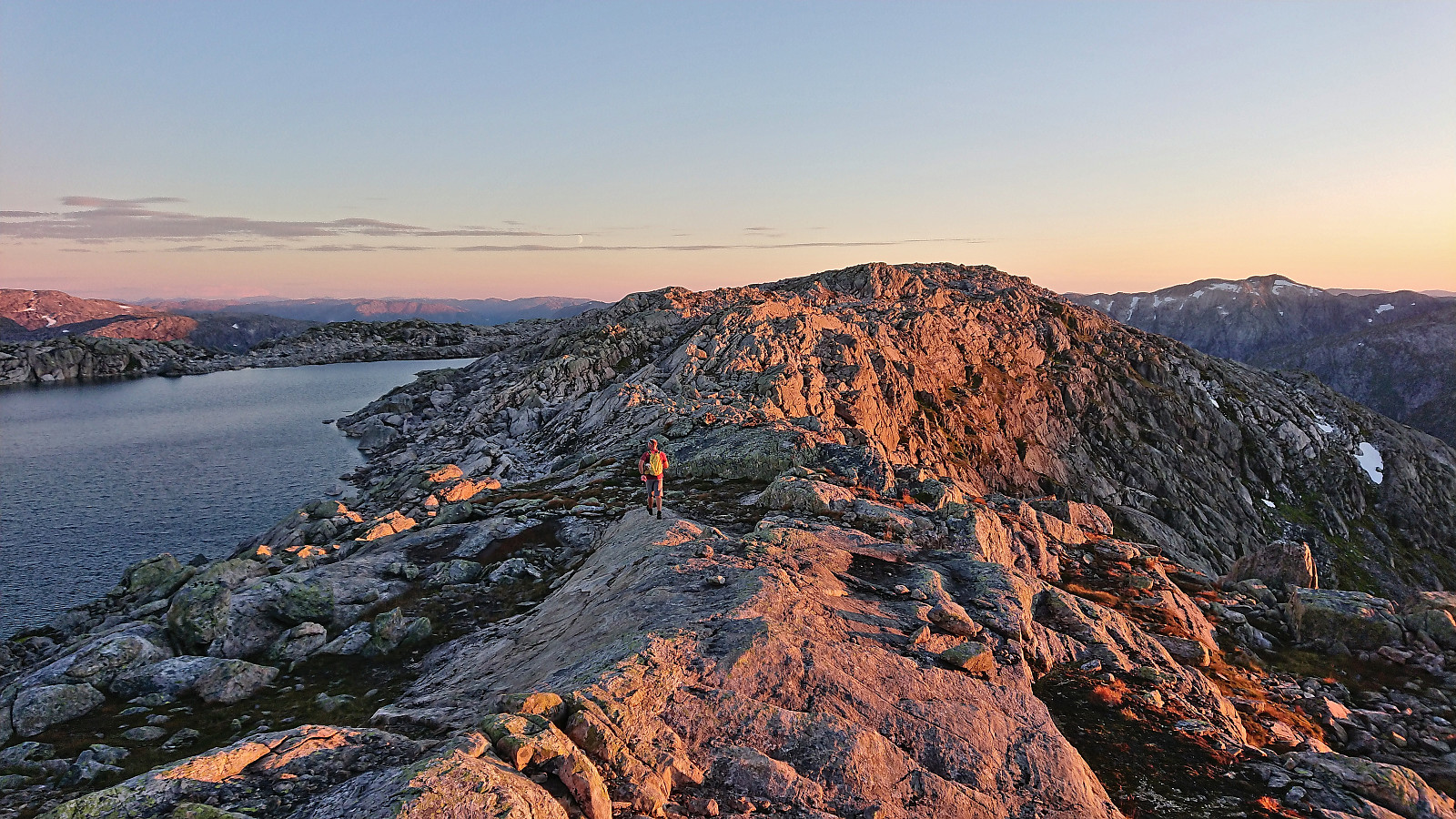
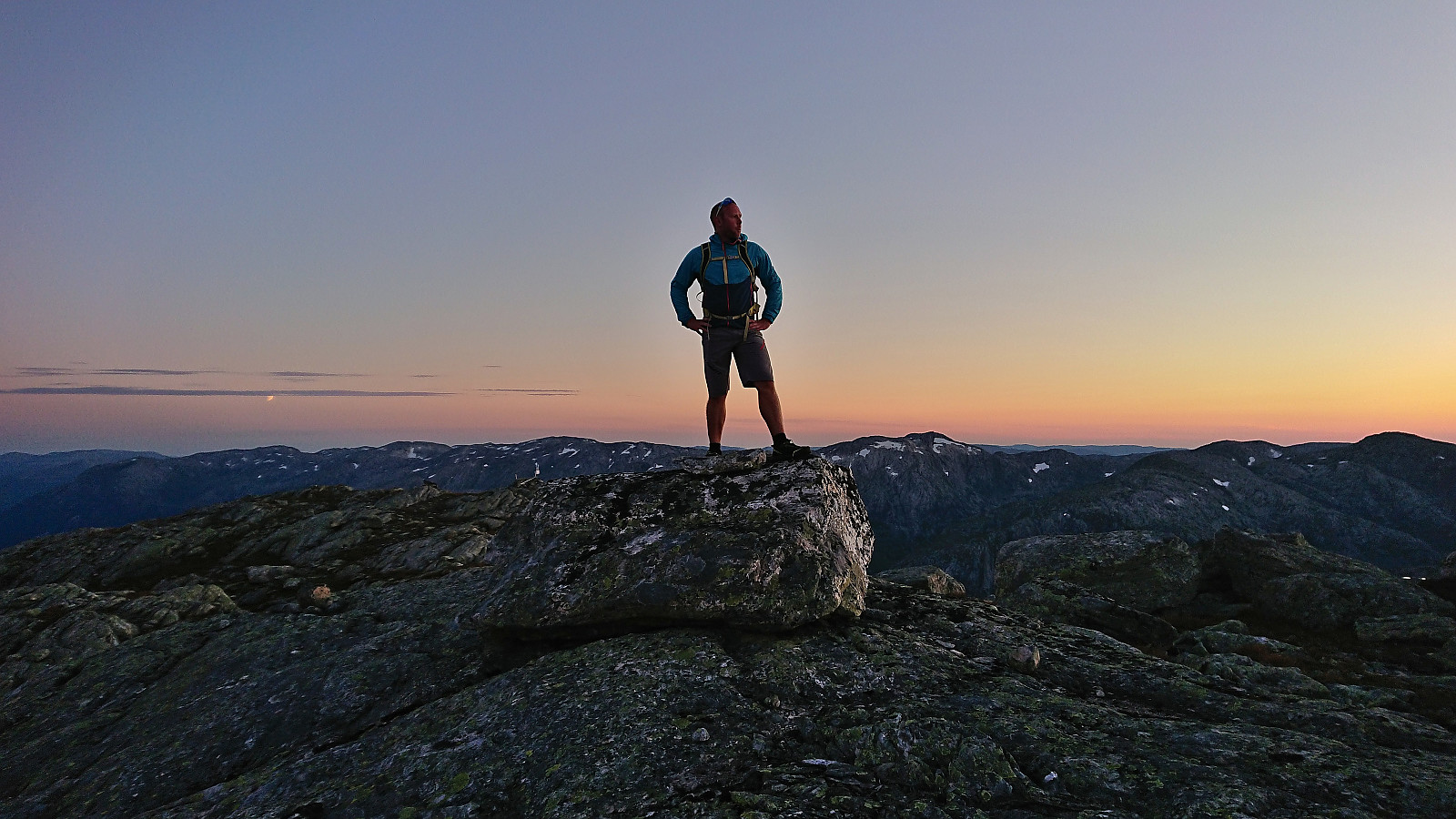
As the sun had disappeared behind Sundagsfjellet just minutes before we arrived at V av Åsabotnen, we did not stay long before starting the descent back to the car in Åsabotnen. It would turn quite dark before we finally arrived at the car, but we managed to get there without needing the headlamp that I had brought with me for extra safety.
The final hurdle of the trip would however be the crossing of the bridge over Åsabotnelva, as it was packed with temporally stored sheep trapped in between three separate gates. But with lots of care, we managed to navigate the car through the gates without letting any of the sheep escape, and could thus continue on the long drive back to Bergen, arriving home shortly after midnight.
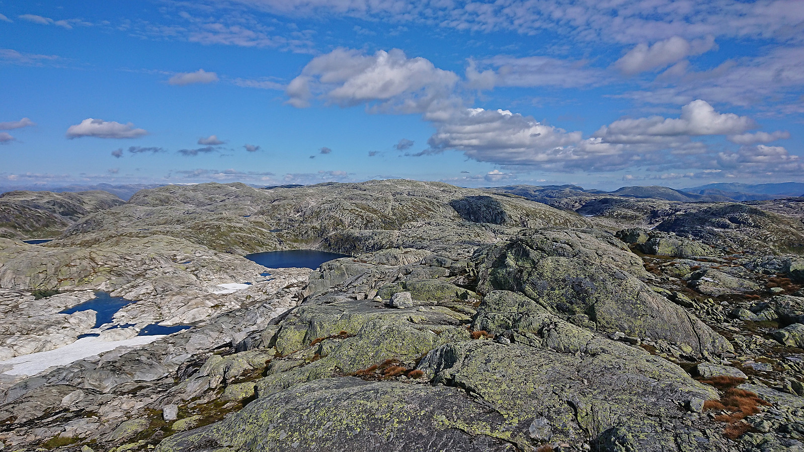
To conclude, an excellent long hike in very interesting terrain that requires careful navigation. All four summits can however be reached without any real challenges, at least when there is no snow, and all provide great views. Driving all the way to (almost) the end of the gravel road north of Stølsvatnet can also very much be recommended, as one can then start the hike at around 900 meter above sea level.


| Start date | 03.09.2022 11:49 (UTC+01:00 DST) |
| End date | 03.09.2022 21:52 (UTC+01:00 DST) |
| Total Time | 10h 03min |
| Moving Time | 9h 04min |
| Stopped Time | 0h 58min |
| Overall Average | 3.2km/h |
| Moving Average | 3.6km/h |
| Distance | 32.3km |
| Vertical meters | 1,852m |


User comments