
Høgahorgi, Horganipen and Steinsethorgi (27.08.2022)

Geschrieben von hbar (Harald Barsnes)

| Startpunkt | Svelgane (232m) |
|---|---|
| Endpunkt | Svelgane (236m) |
| Tourcharakter | Bergtour |
| Tourlänge | 8h 26min |
| Entfernung | 31,3km |
| Höhenmeter | 1.758m |
| GPS |
|
| Besteigungen | Horganipen (1.035m) | 27.08.2022 |
|---|---|---|
| Høgahorgi (1.133m) | 27.08.2022 | |
| Steinsethorgi (796m) | 27.08.2022 | |
| Besuche anderer PBE | Fjellheim (711m) | 27.08.2022 |
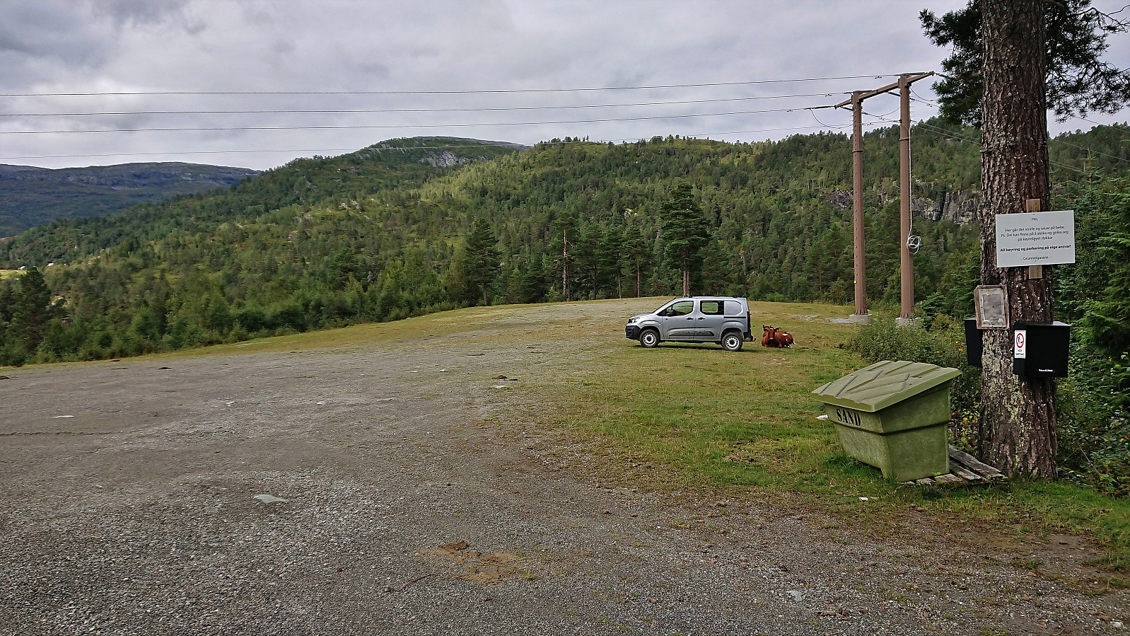
| Høgde p-plass (642m) | 27.08.2022 | |
| Lyklaset (763m) | 27.08.2022 | |
| Madshaugen p-plass (513m) | 27.08.2022 | |
| Olastøl (556m) | 27.08.2022 | |
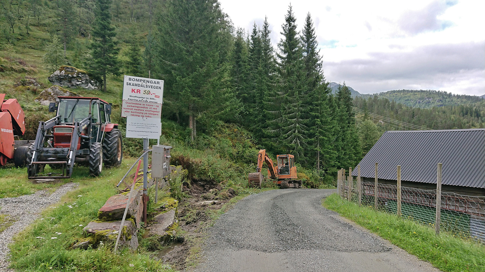
| Skamdalsvegen (460m) | 27.08.2022 | |
| Steinsethorgi utsiktspunkt (790m) | 27.08.2022 |
Høgahorgi, Horganipen and Steinsethorgi
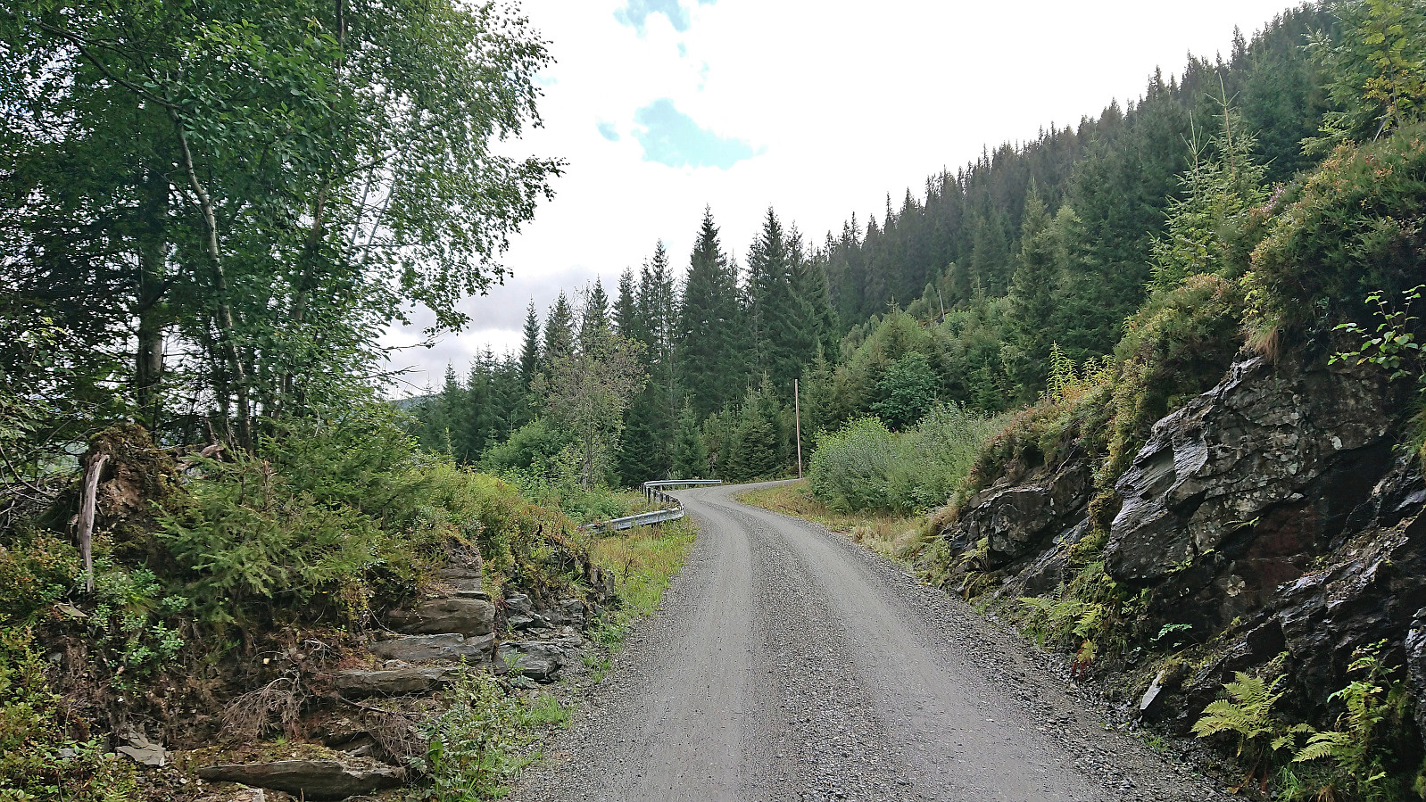
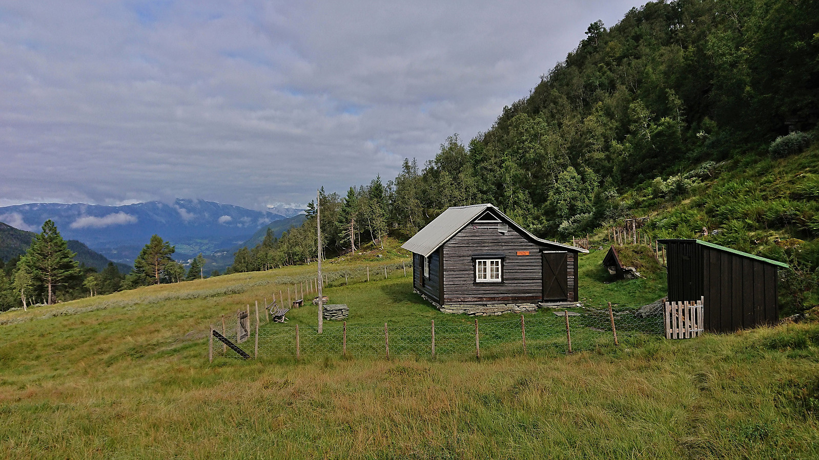
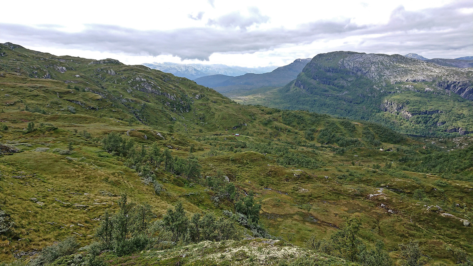
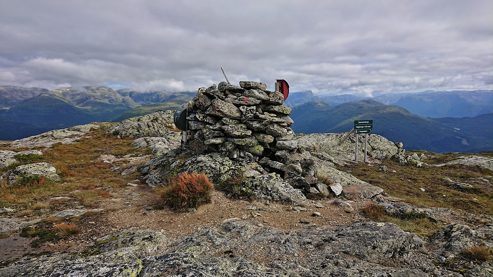
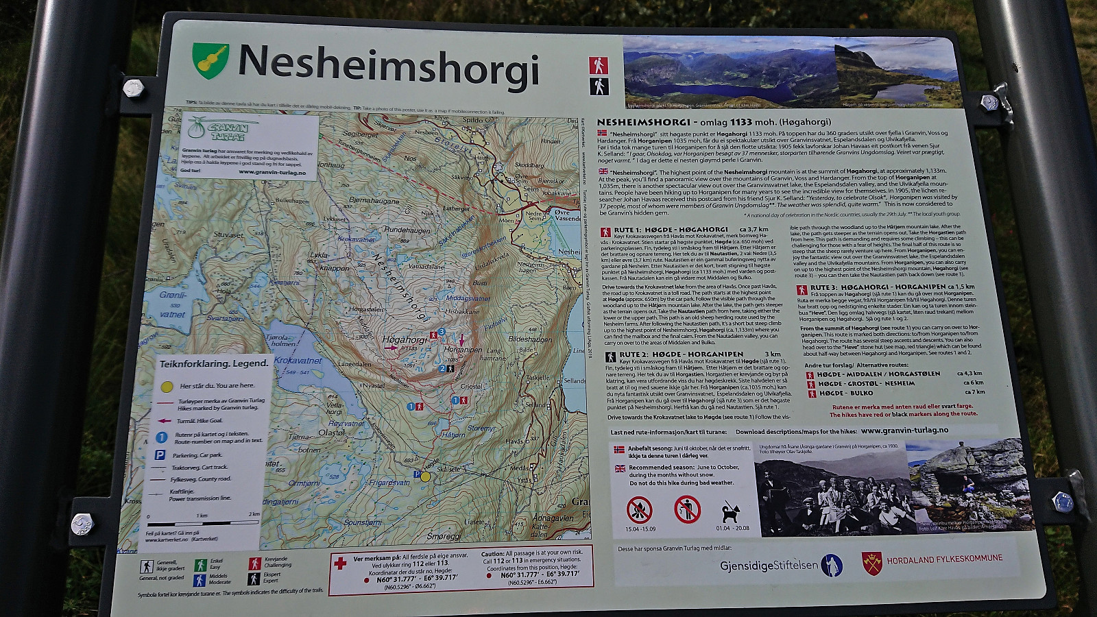
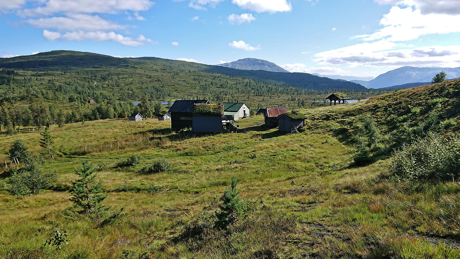
For the third weekend in a row I returned to Voss, but this time on my own and not as part of an organized hike. I started by taking the train to Voss and the bus towards Granvin, getting off at Bulkokrysset. From there I followed the road up to the large parking lot at Madshaugen where I easily located the unmarked trailhead for Høgahorgi. Note that Høgahorgi is also referred to as Nesheimshorgi, where Nesheimshorgi seems to refer to the whole mountain while Høgahorgi to the highest point.
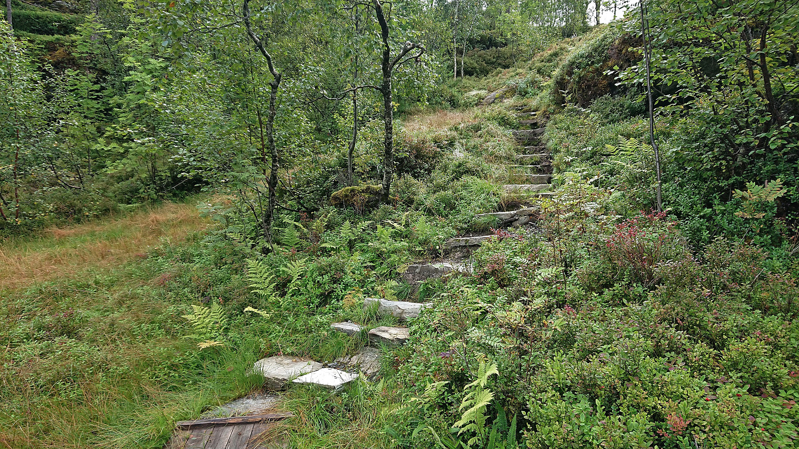
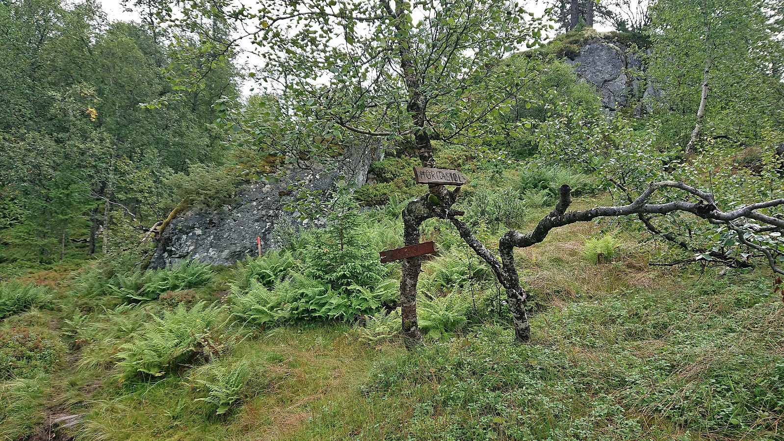
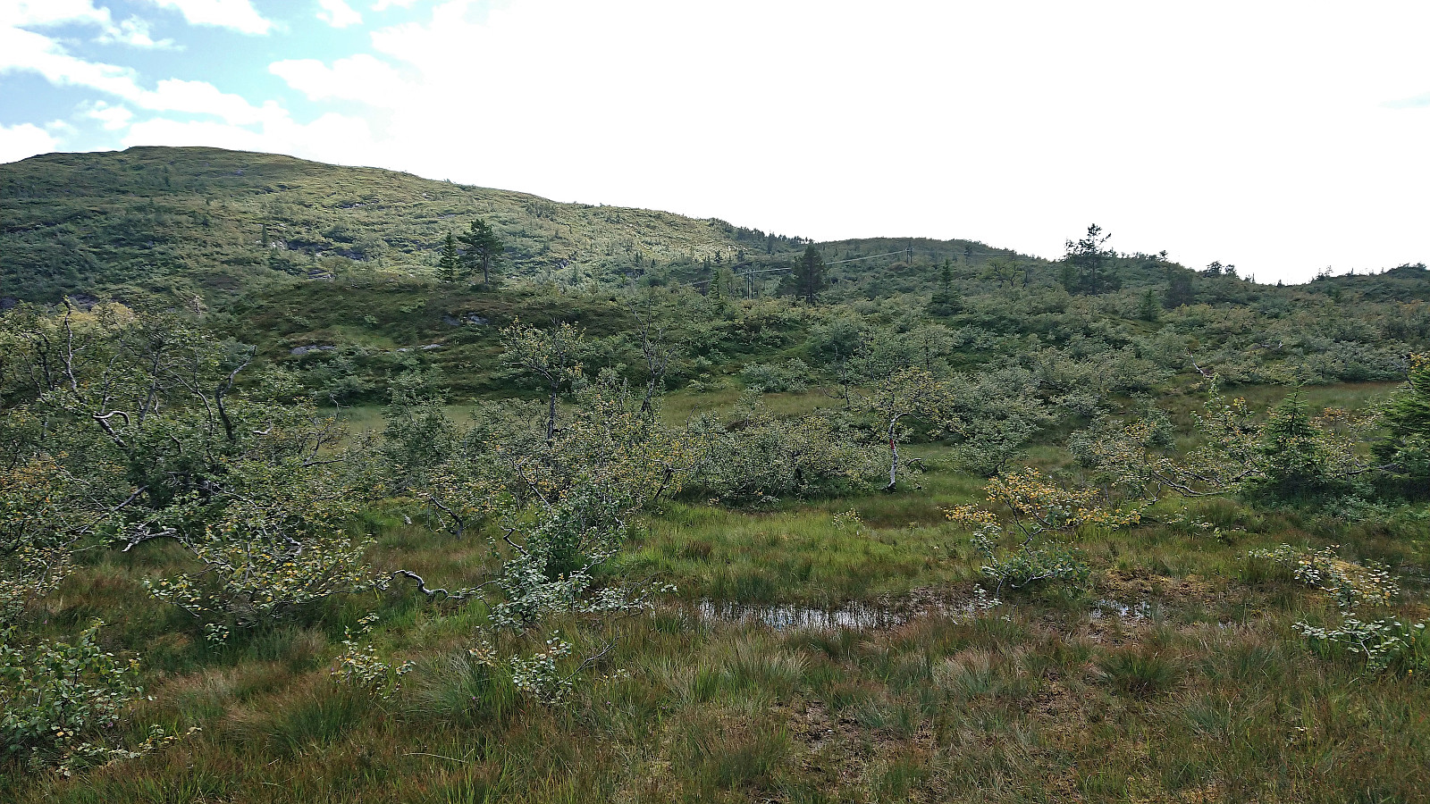
The initial trail quality was very good, but this only lasted until passing the first cabin. After that the trail turned wet and muddy, and I quickly gave up keeping my feet dry. I soon came across another hiker and took the chance to ask for some trail advice, where the most important was to make sure to visit Horganipen for the best views. When the trail later forked I decided on the route via Lyklaset and while this trail was unmarked, unlike the trail via Horgastølen marked with red paint, it was still straightforward to follow.
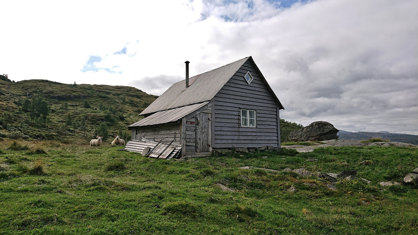
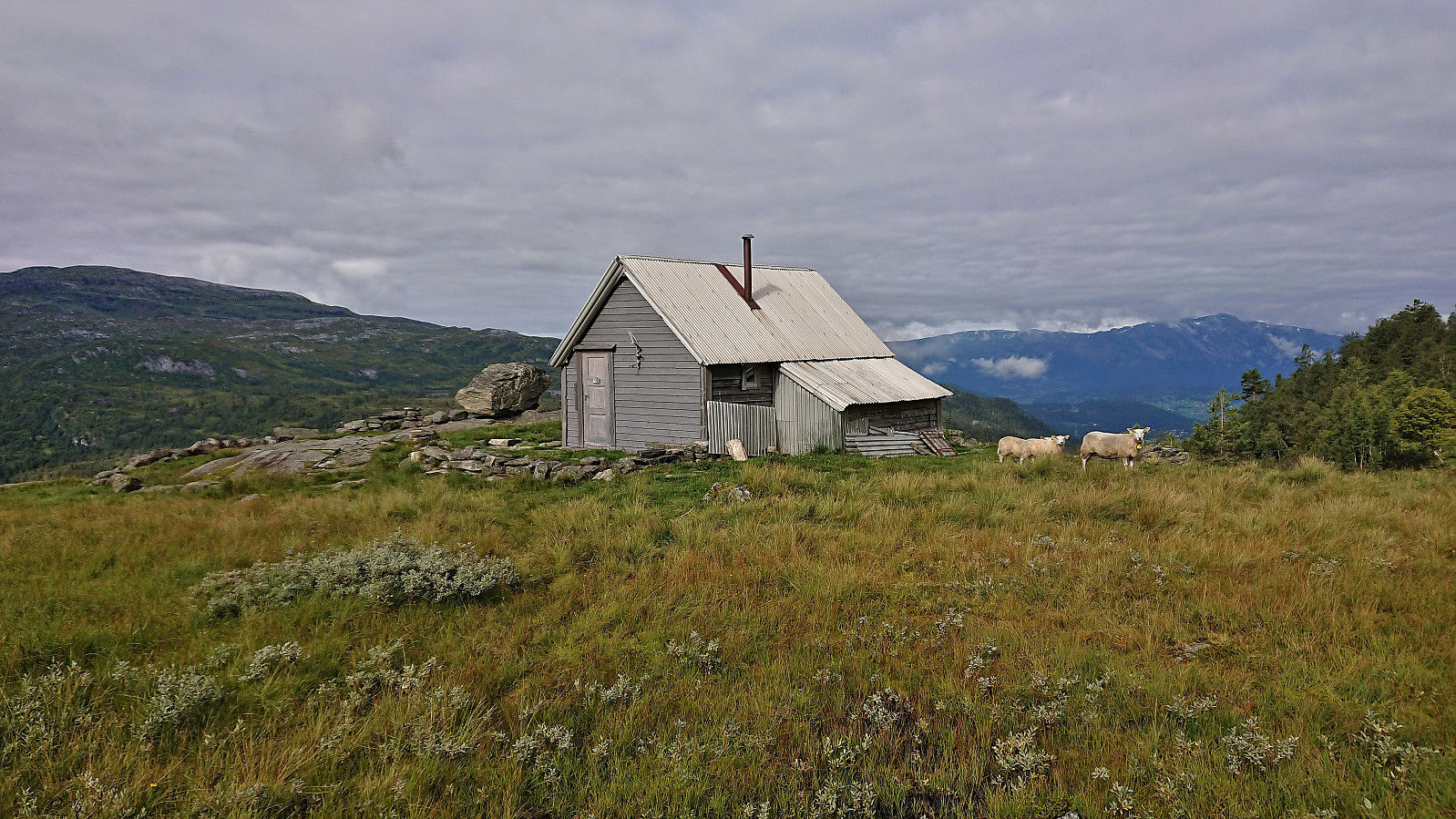
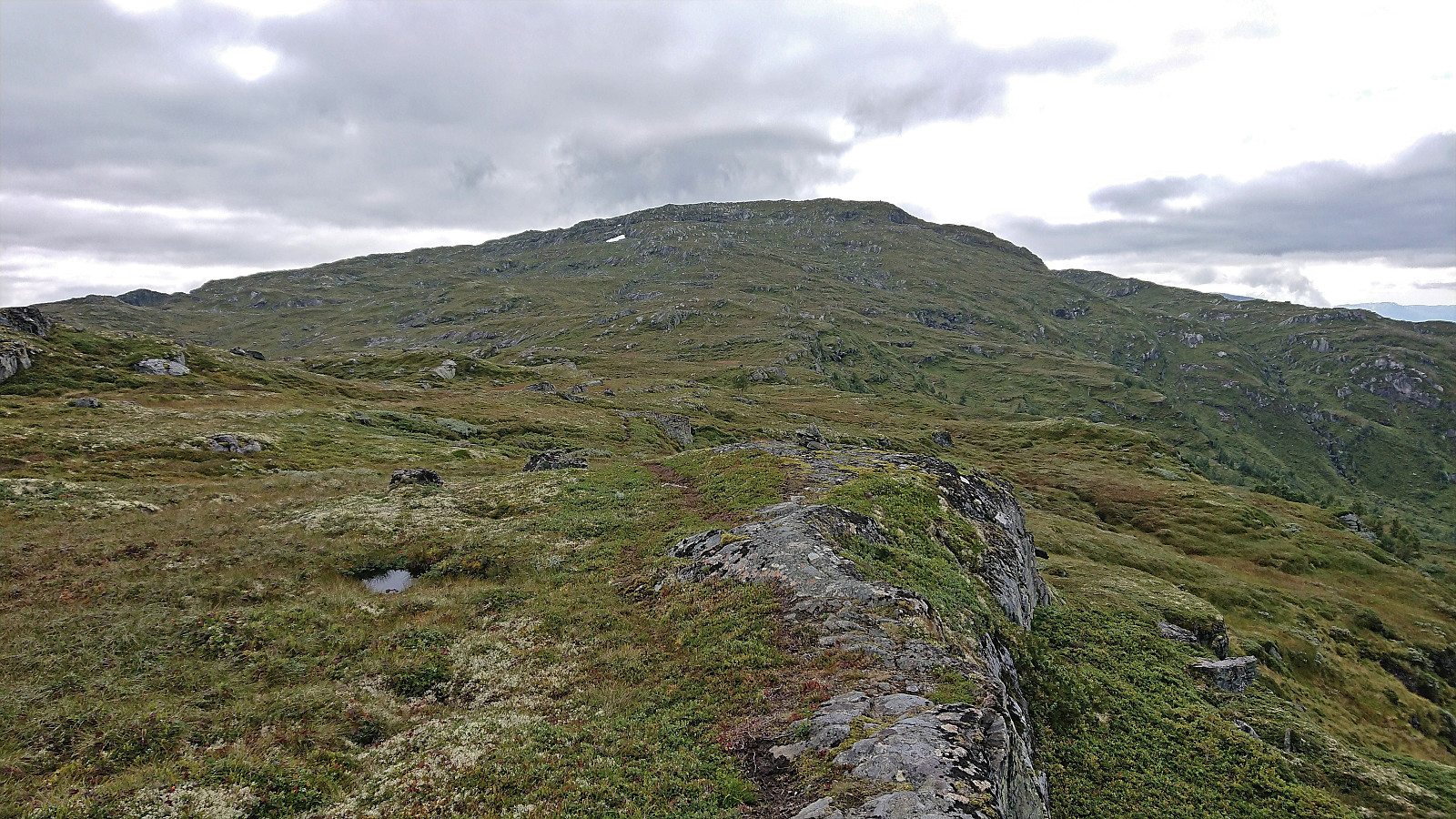
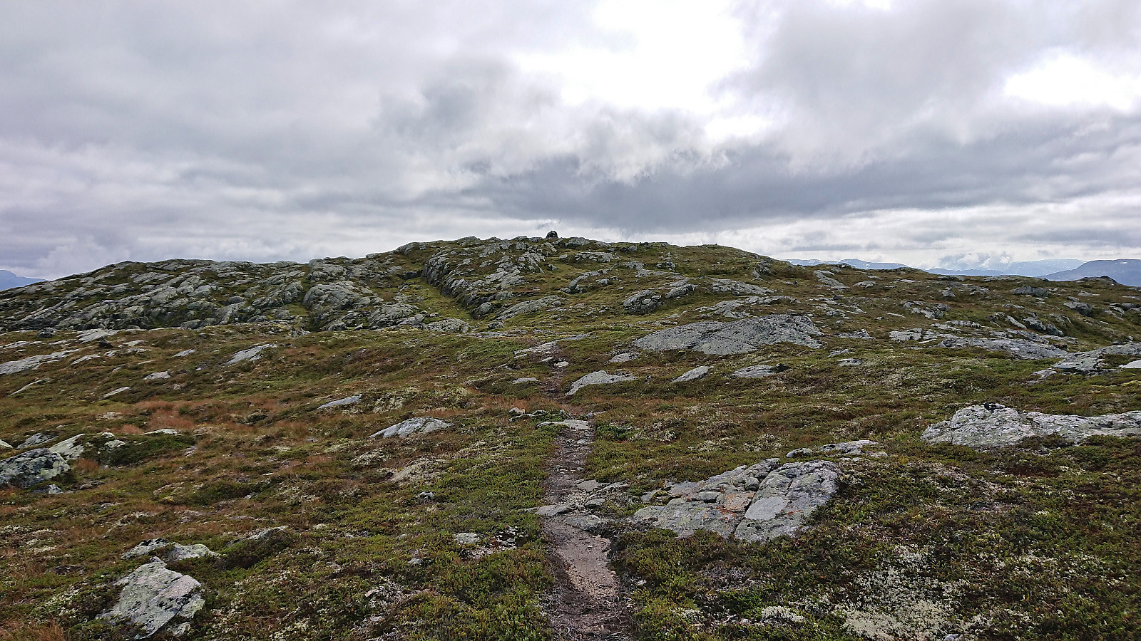
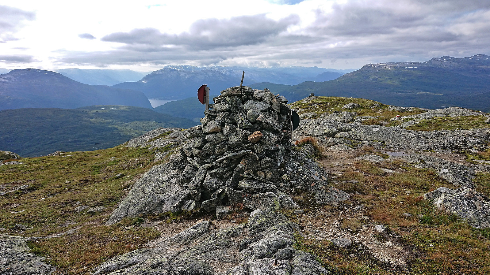
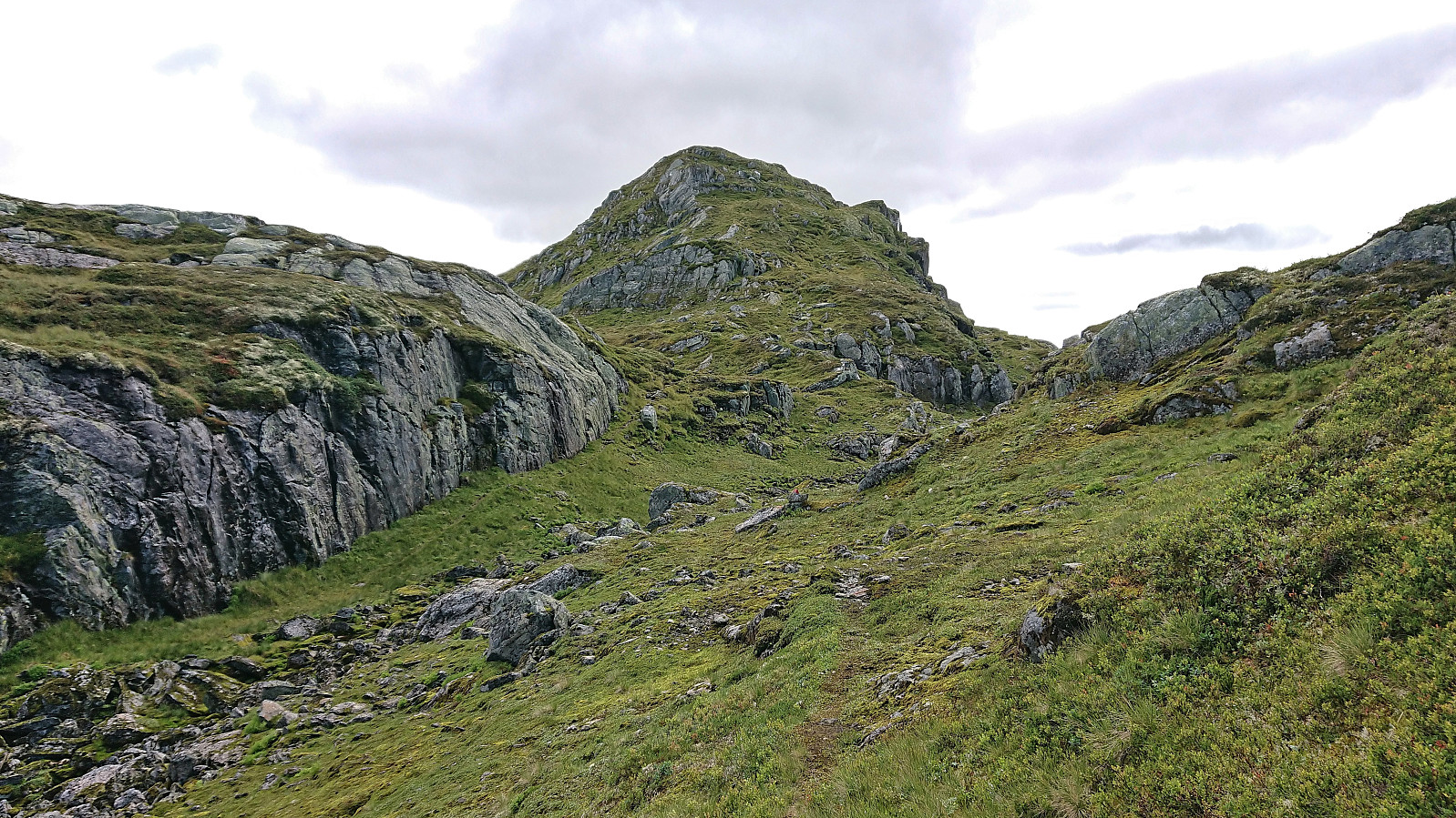
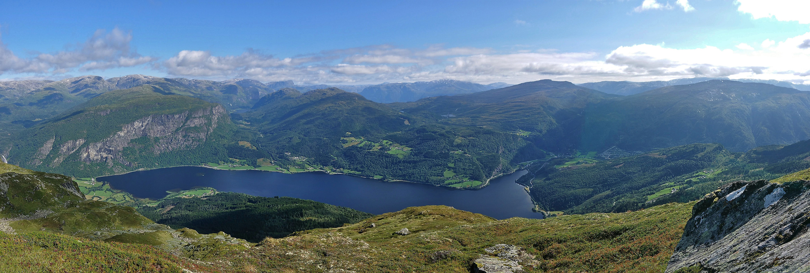
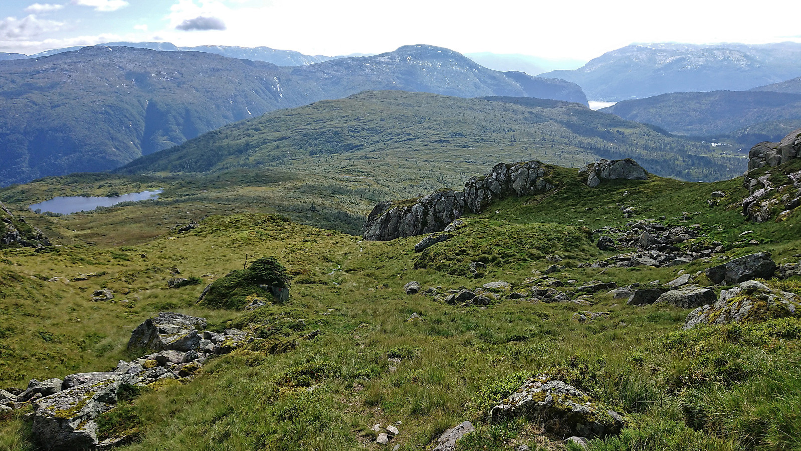
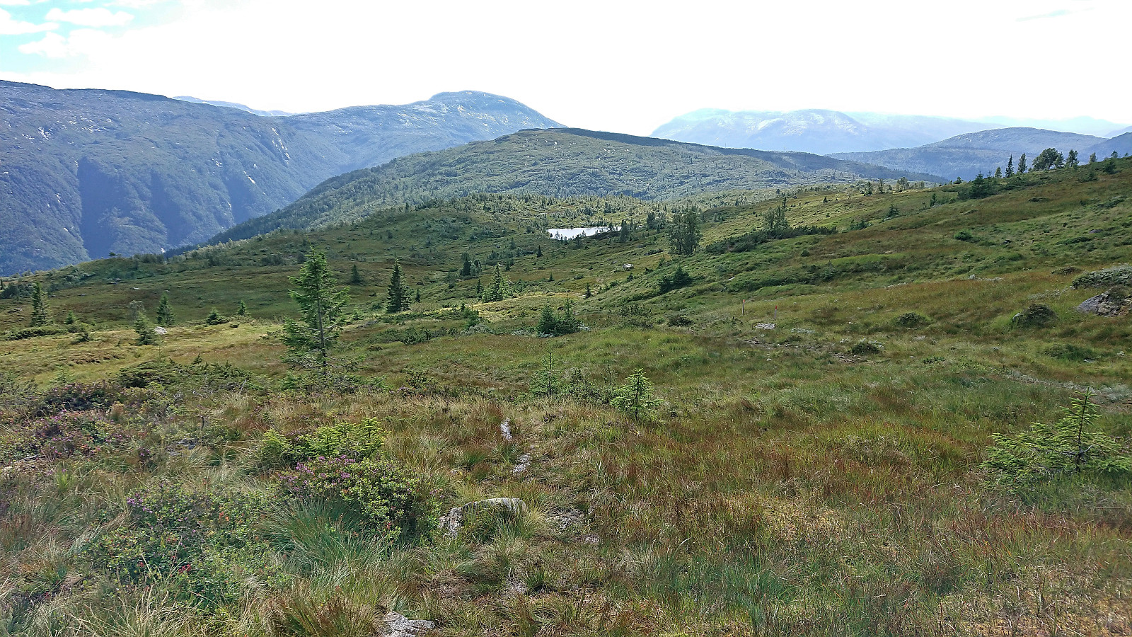
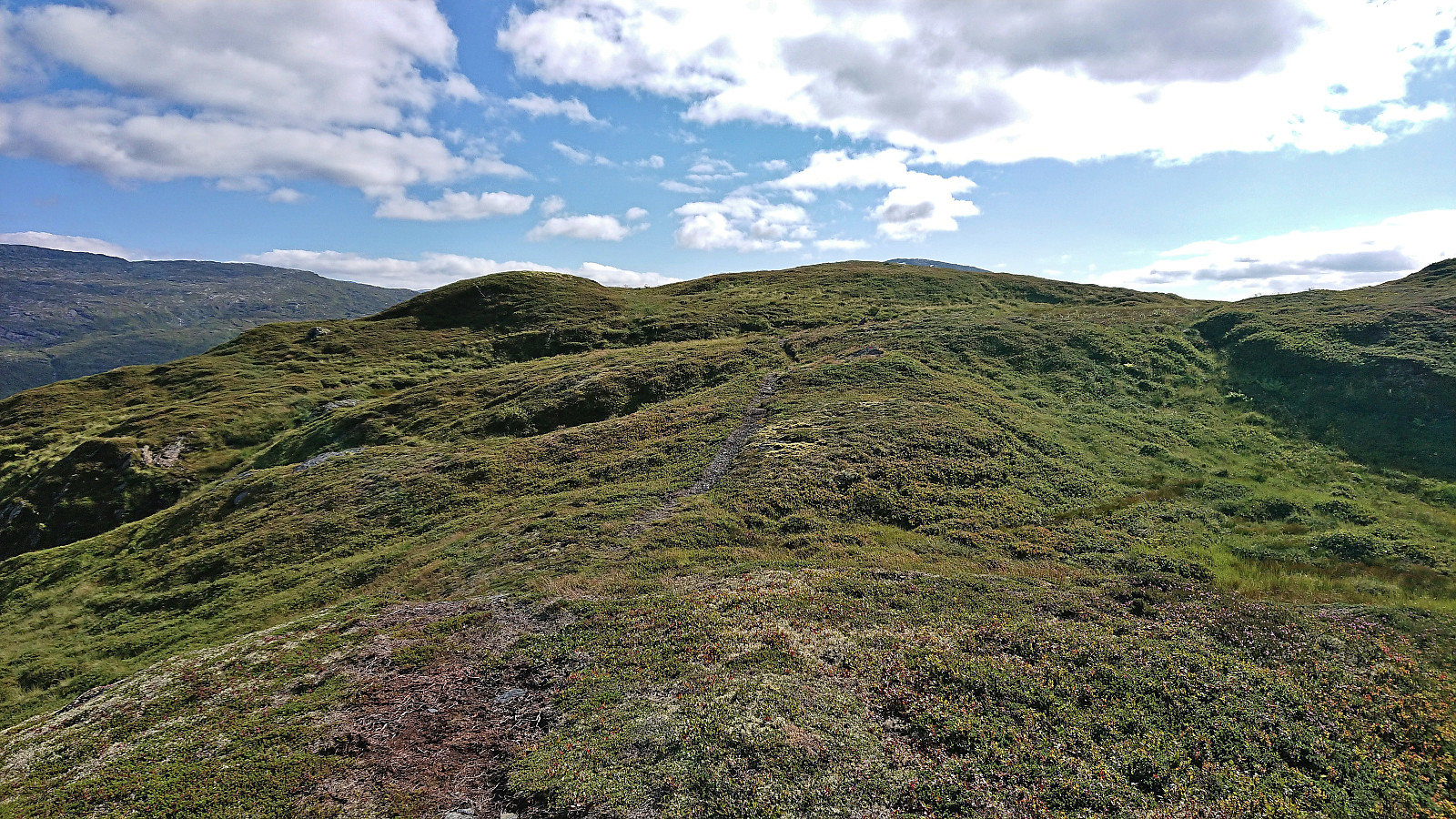
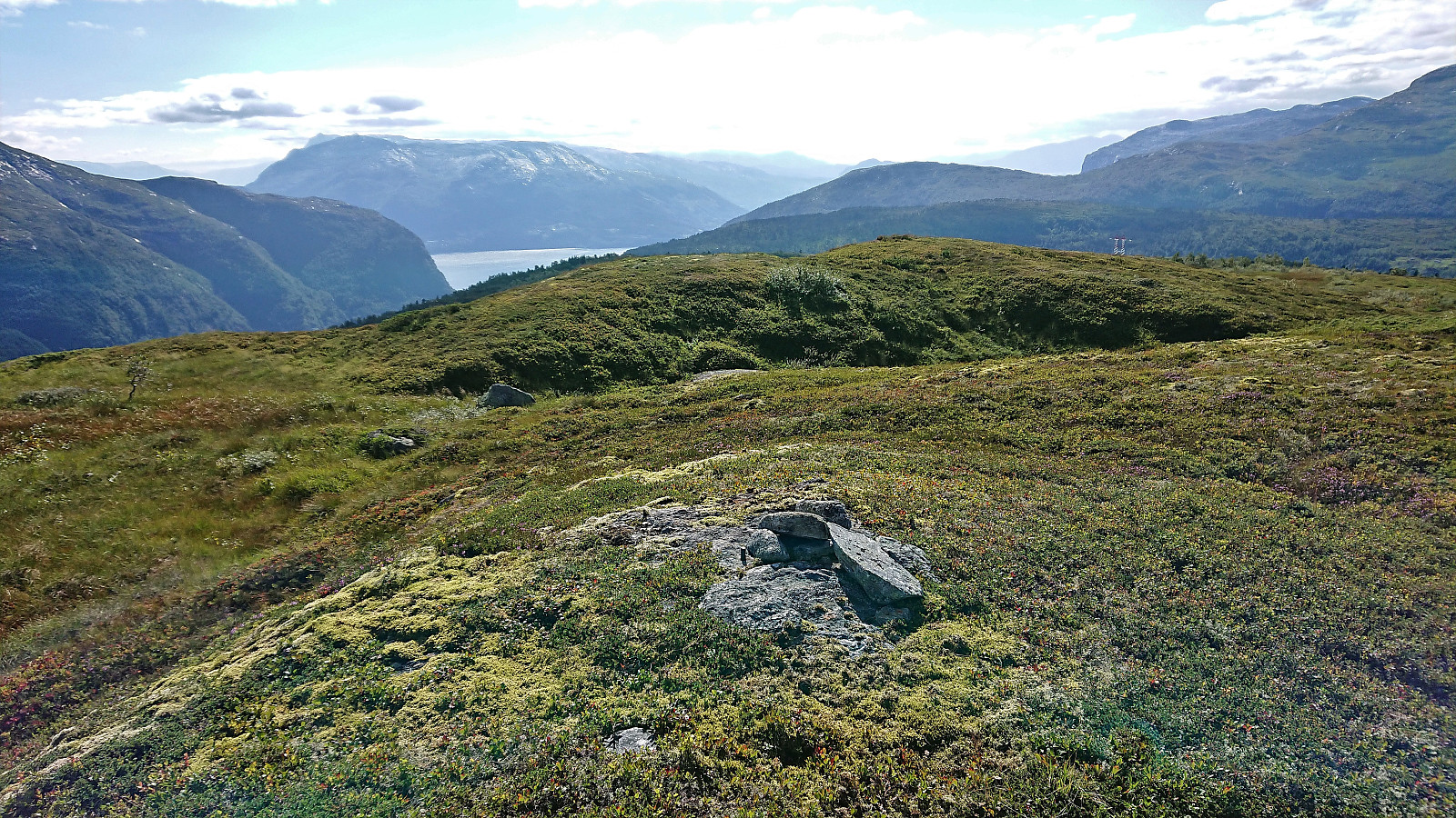
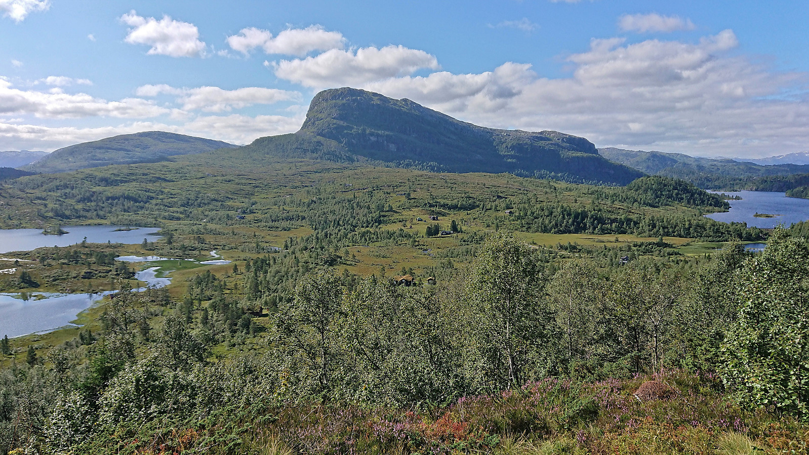
At Lyklaset the trail however got much weaker and from there on to the summit I was not always sure whether I was on the trail or not. For some sections it was quite clear, but for others there were only the occasional small cairns to guide the way. The direction was in any case obvious and the summit was reached without any issues, providing excellent panoramic views.
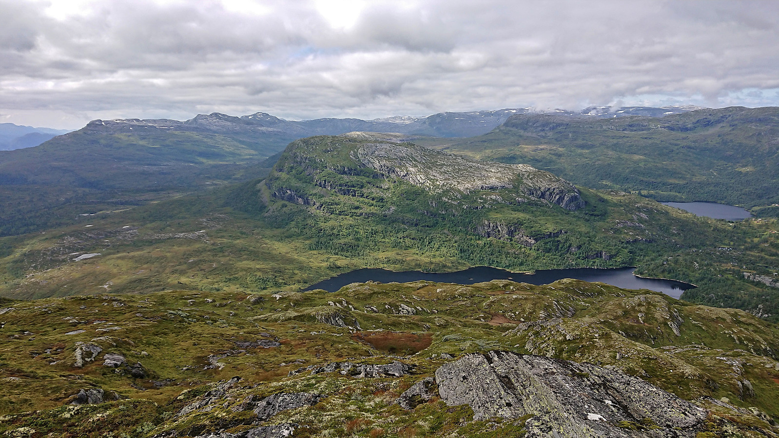
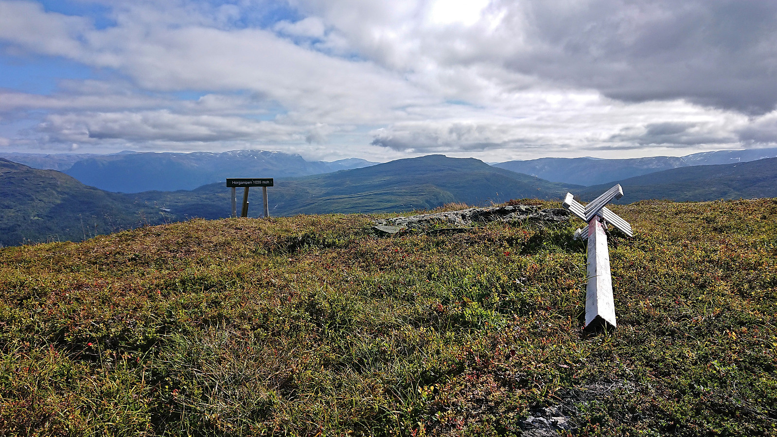
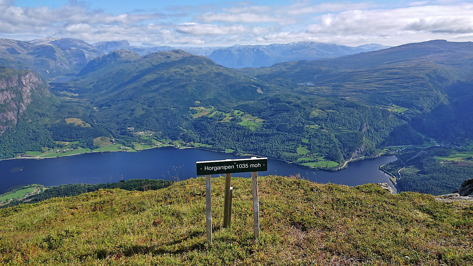
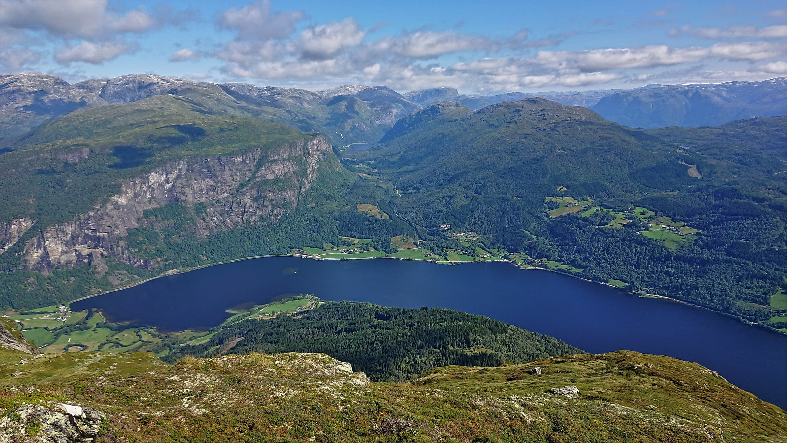
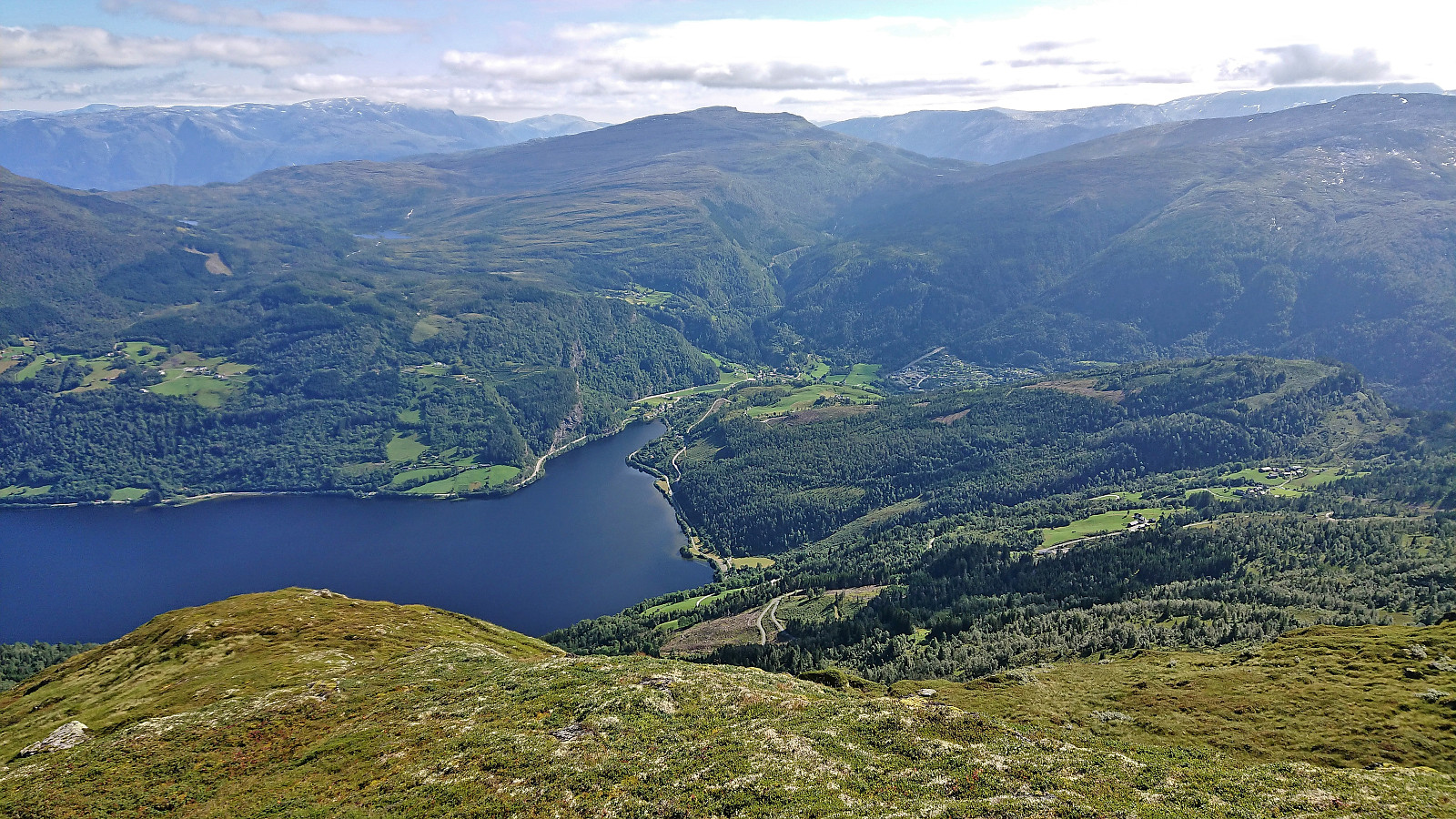
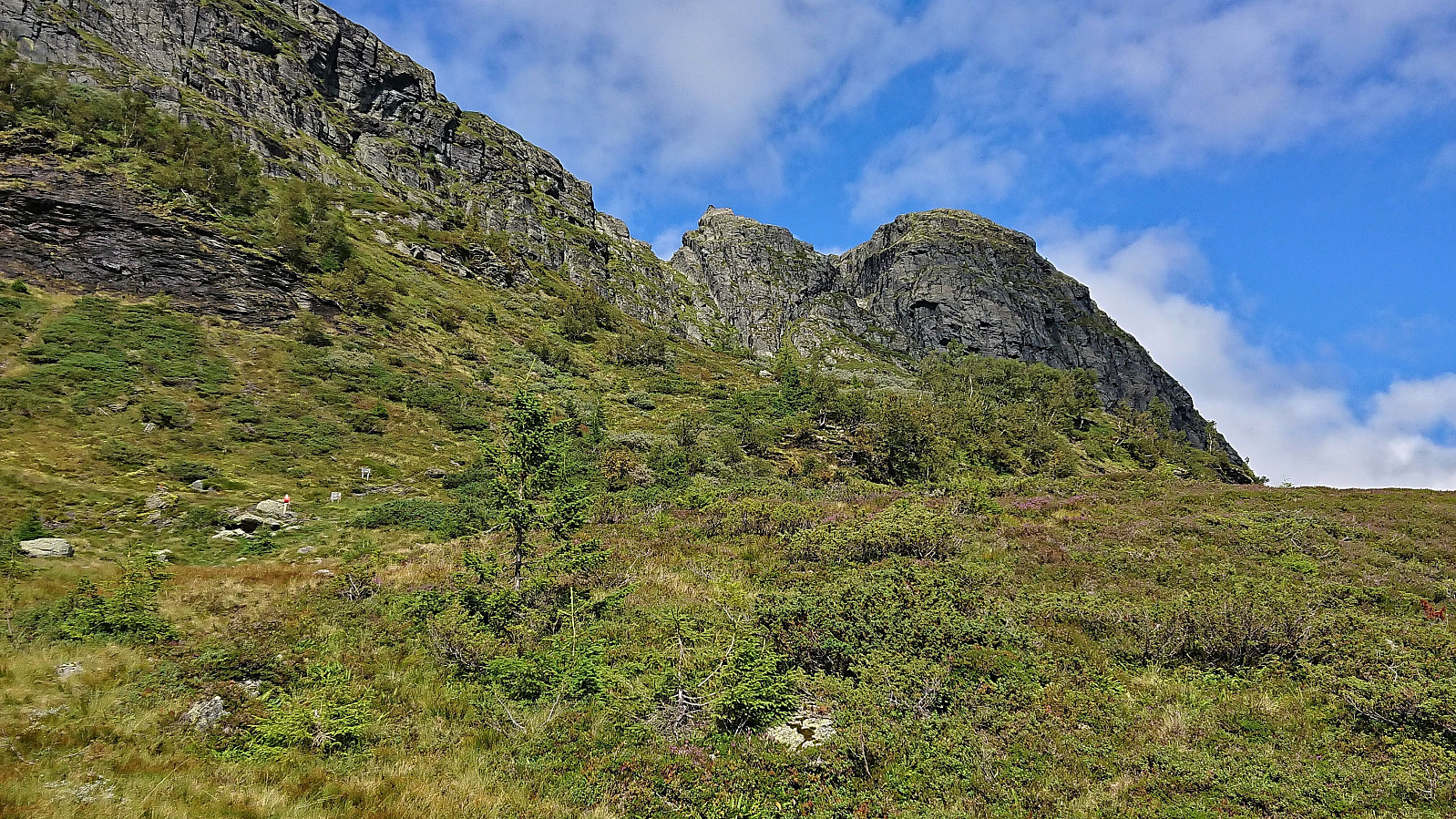
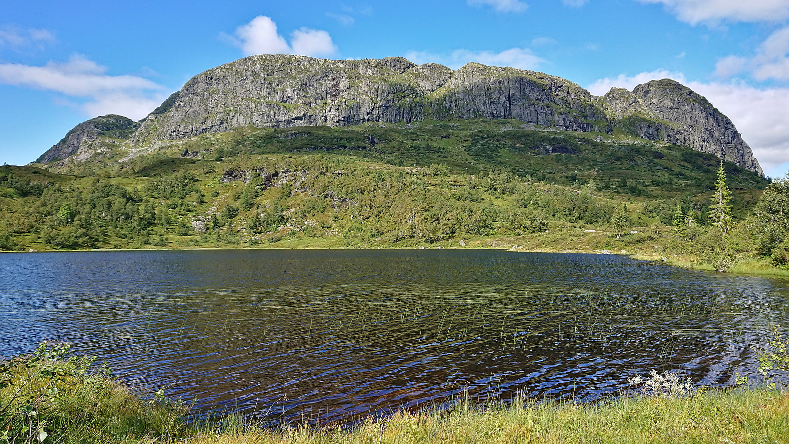
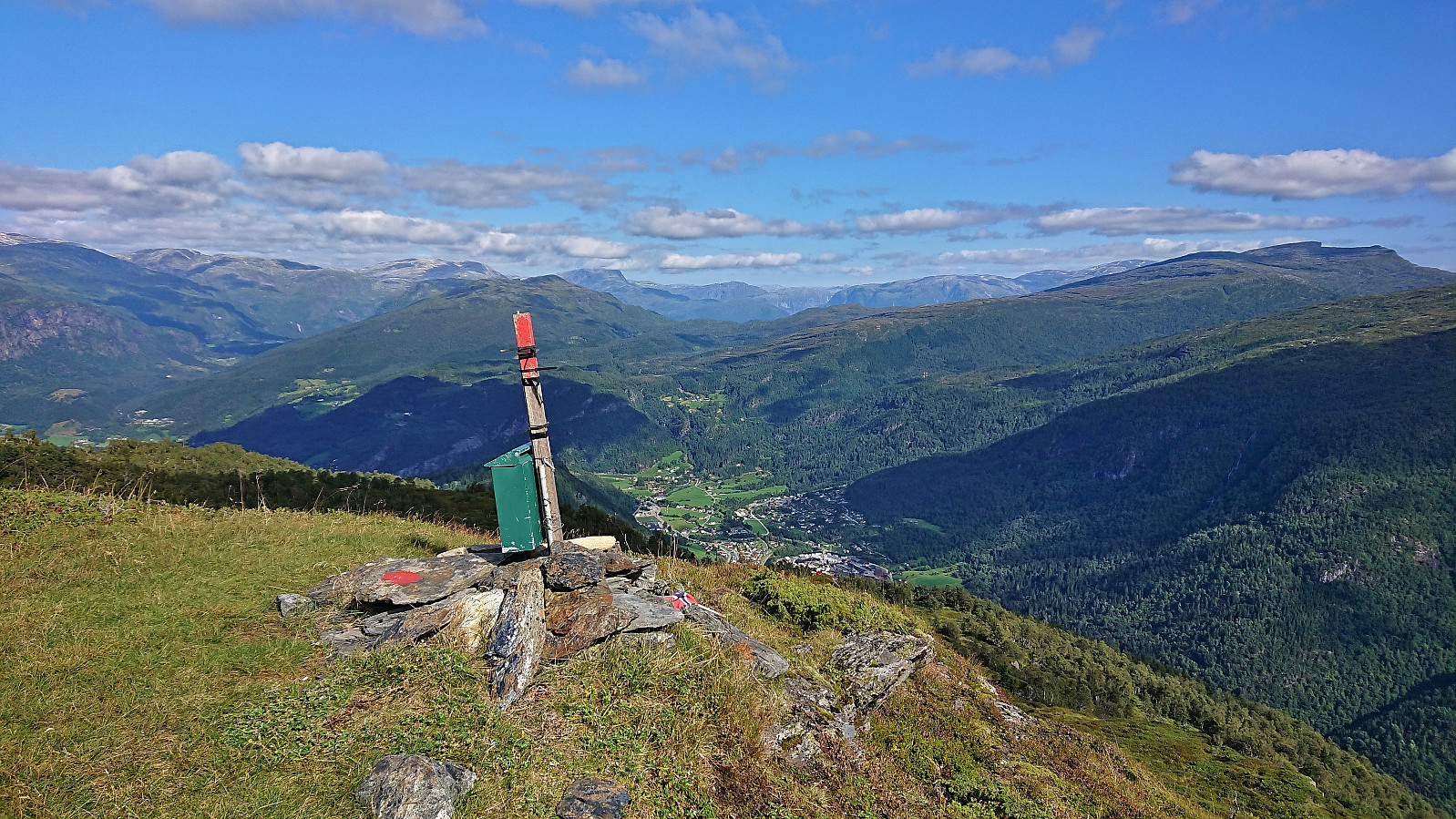
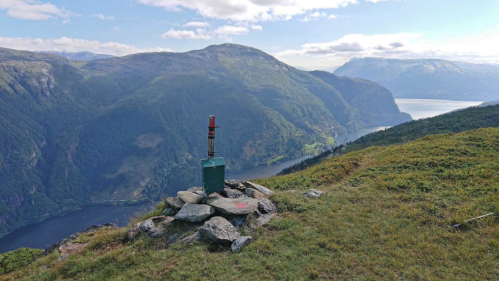
From the summit I followed the marked route to Horganipen. Note that I write “marked route” and not “marked trail”, as there were very limited traces of a trail. The markers where however overall easy to follow, even though they sometimes seemed to head in the wrong direction, and I soon arrived at Horganipen where I could enjoy the spectacular views down to Granvinsvatnet. Well worth the minor detour from the summit!
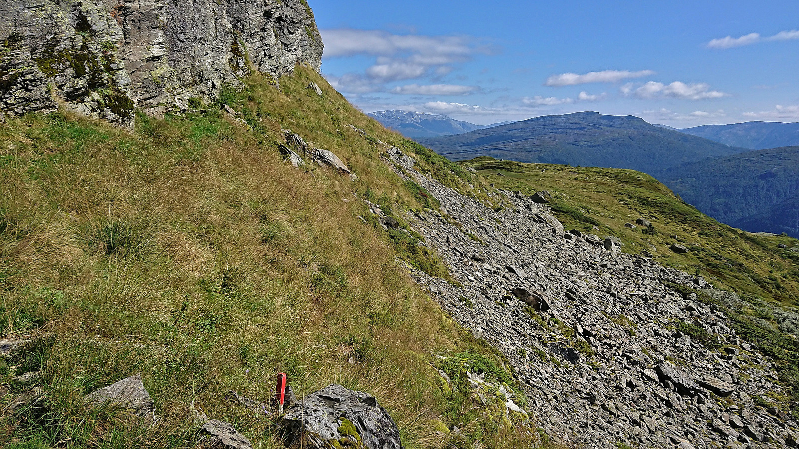
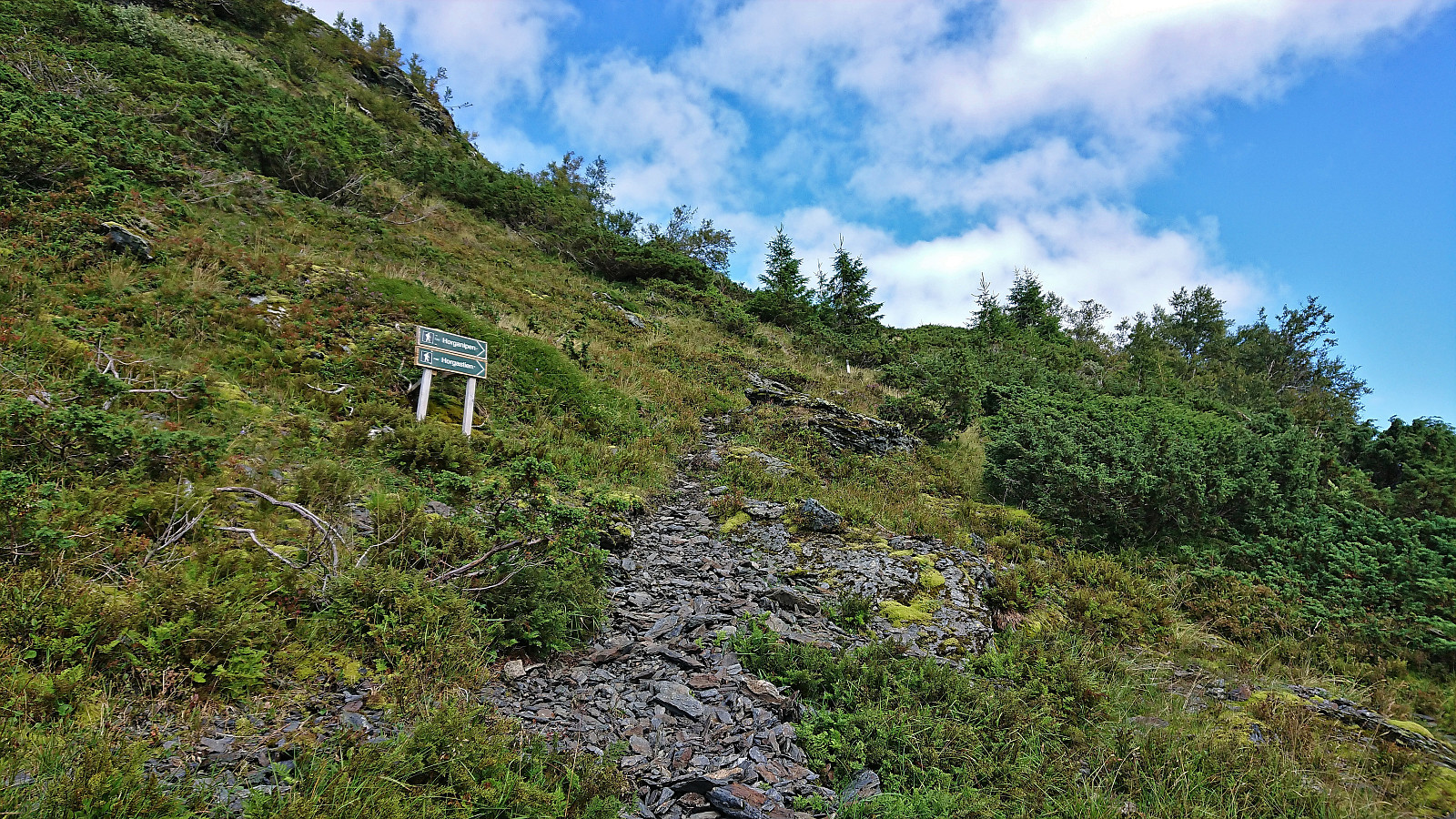
Part of the reason why I had included this detour was that the hiker I met earlier had told me that there was a shortcut down from Horganipen via (what I later learned is called) Horgastien. This would save me the trip back up to the summit where there was a marked descent trail, and result in a more direct route to my next goal of Steinsethorgi. At Horganipen I however failed to locate any traces of a trail heading in the wanted direction. With the map indicating very steep terrain, I therefore did not take any chances and rather returned to the summit of Høgahorgi and from there followed the marked trail south.
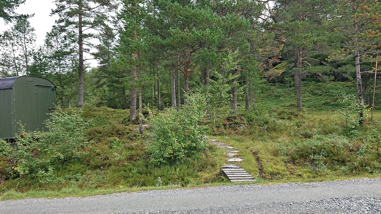
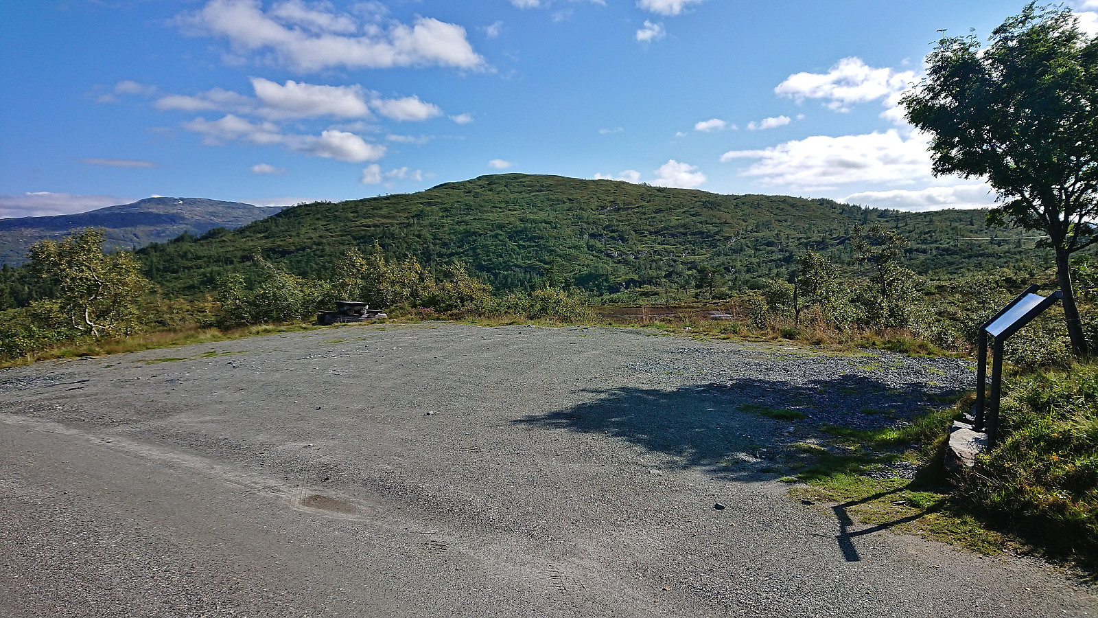
The marked trail made some odd turns along the way, but I assumed it had its reasons, and in the end it took me down to Håtjørn without any real issues (besides briefly losing the trail). North of Håtjørn I came across a hiking sign for Horganipen, but from this location it looked very steep and not straightforward. As I later got to the parking lot at Høgde, there was an information sign saying that Horgastien "is demanding and requires some climbing - this can be challenging for those with a fear of heights. The final half of this route is so steep that the sheep rarely venture up here." Hence I was happy with my choice of not taking any chances when not even finding the upper start of the trail.
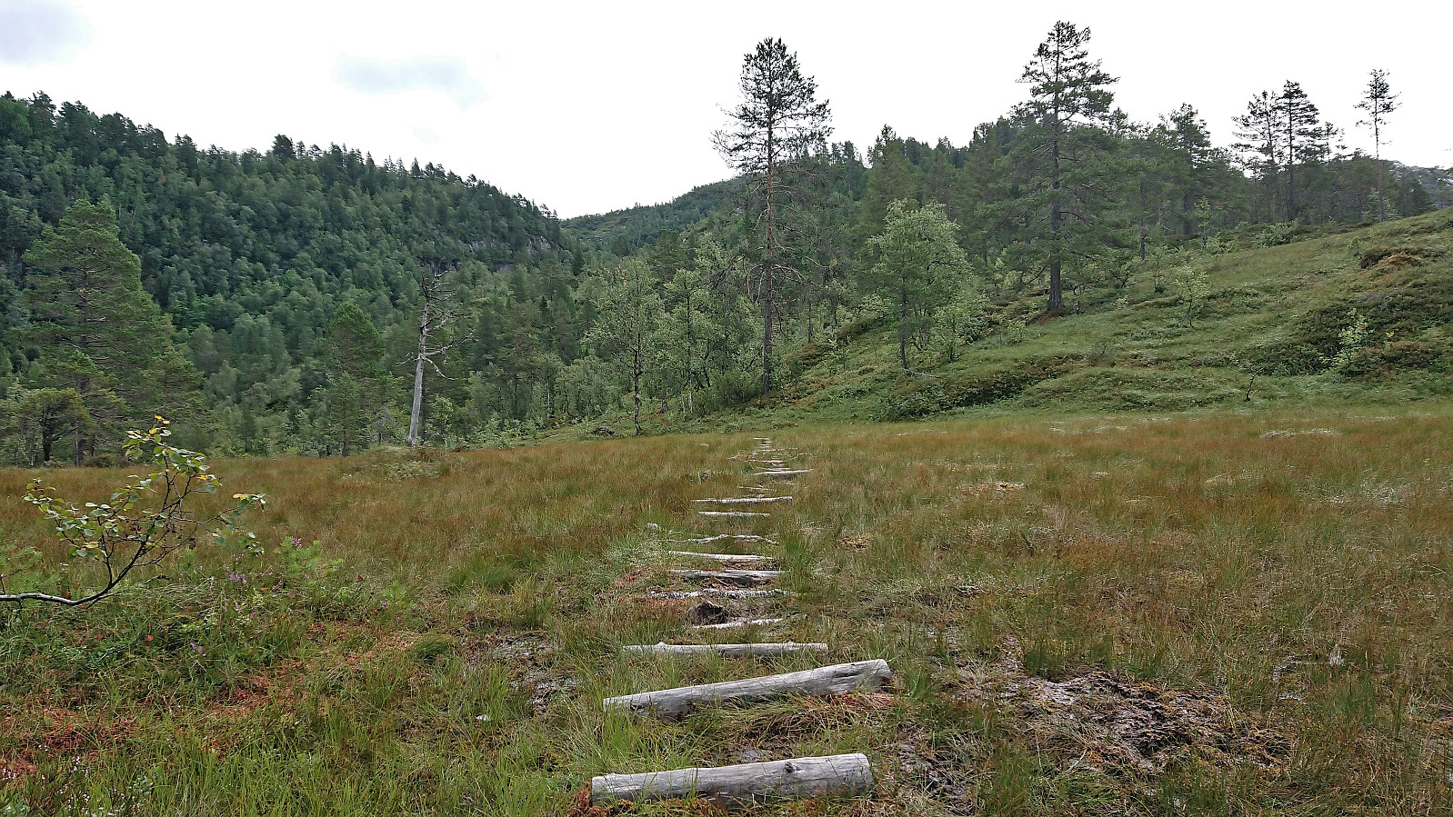
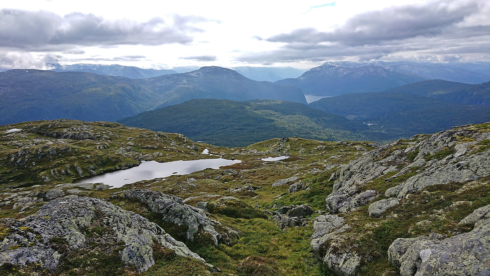
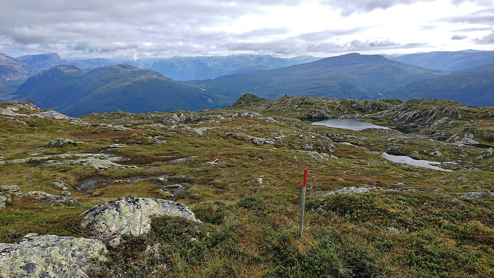
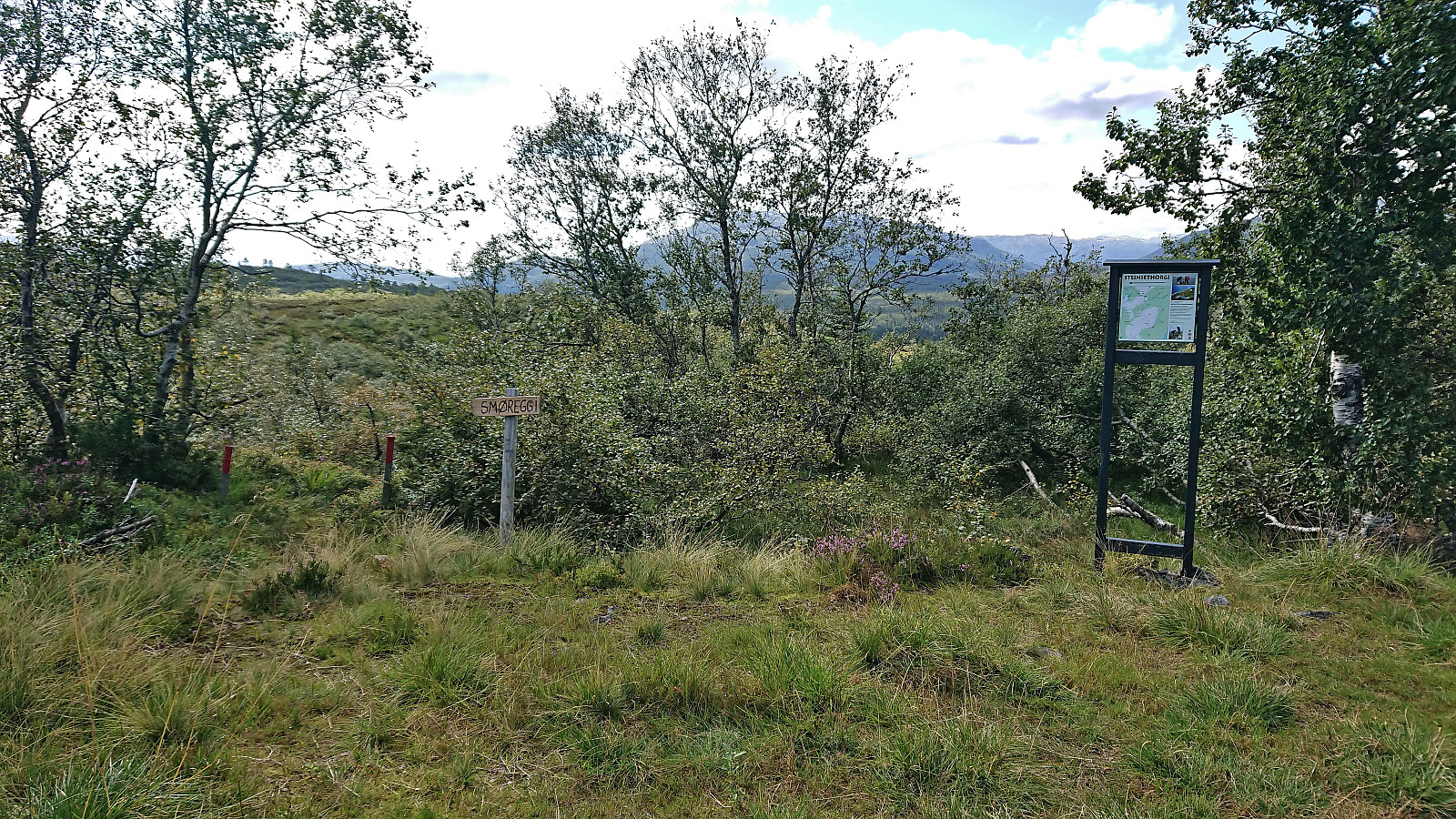
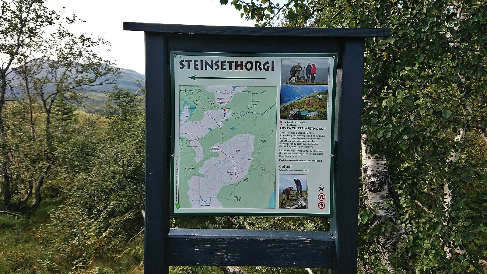
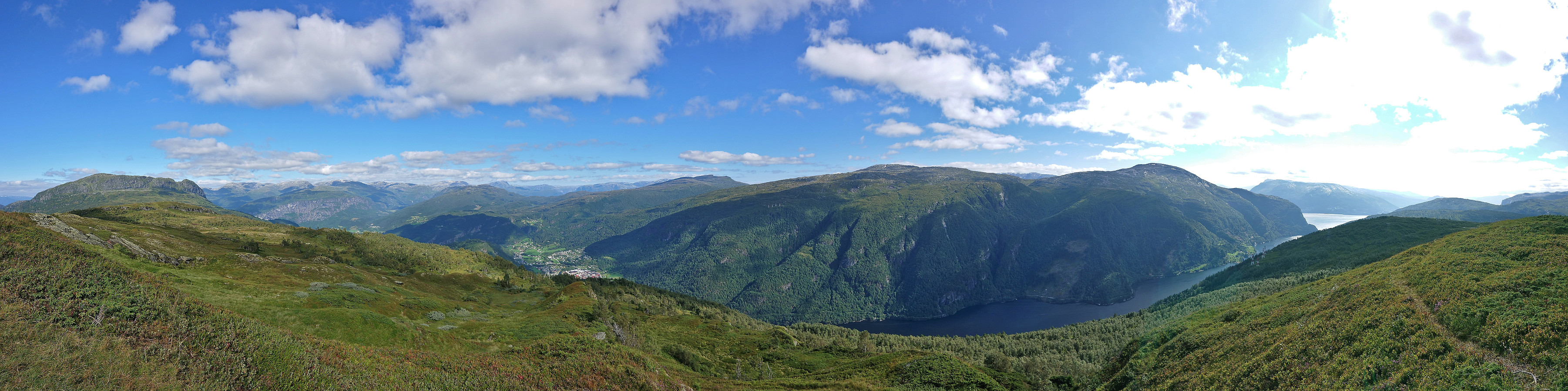
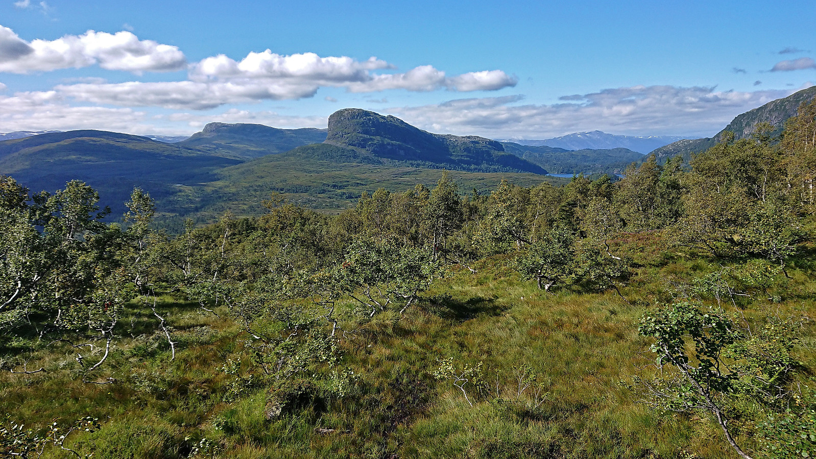
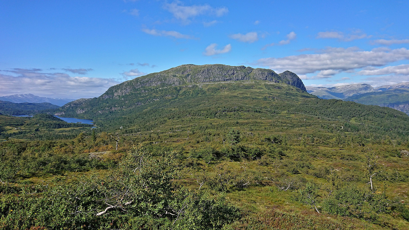
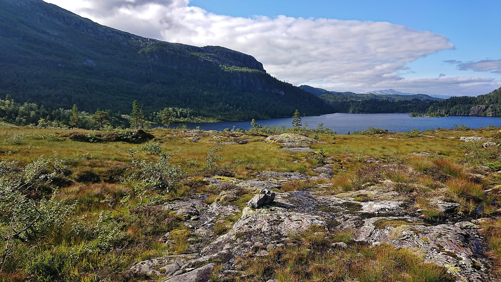
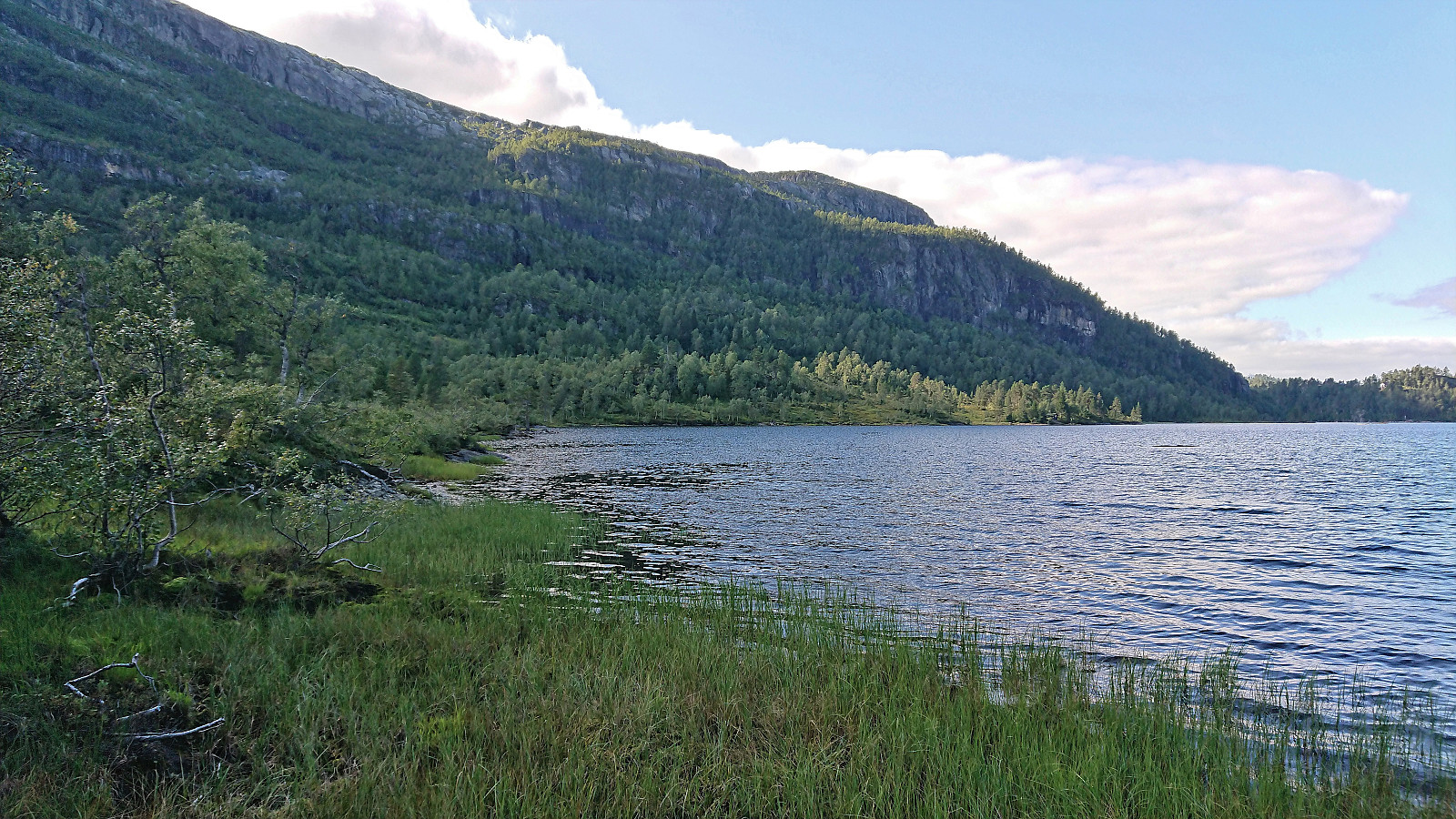
I immediately started on the marked trail to Steinsethorgi which thankfully started directly from the parking lot at Høgde. The trail was marked with red paint and overall easy to follow. To describe the trail you however only need two words: wet and muddy, with only the final section towards the top being ok. The views down into Granvinsfjorden from just east of the summit more than made up for this though and seemed to be the goal of most hikers. Finding the exact highest point was more difficult, hence I simply resorted to visiting all of the likely candidates on the rather flat summit area before returning along the same route.
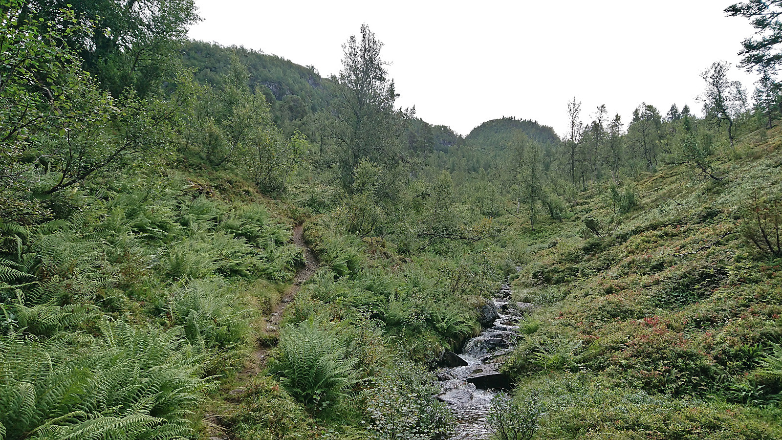
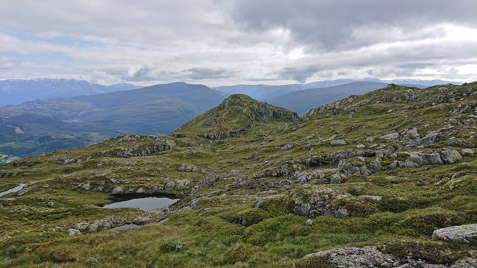
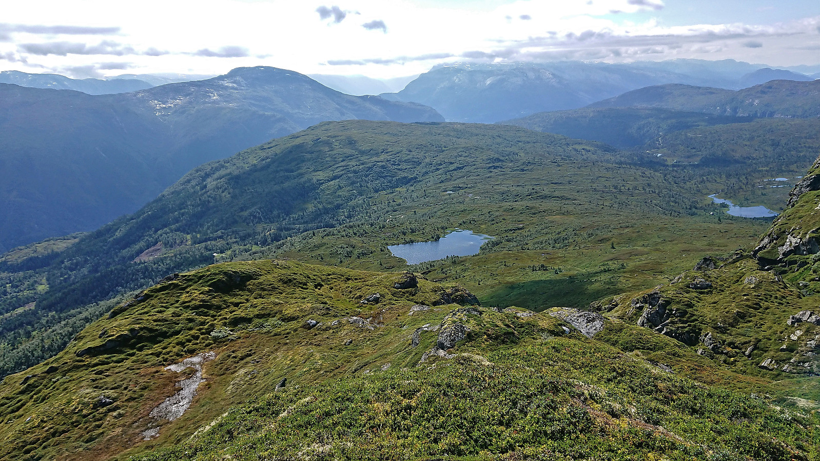
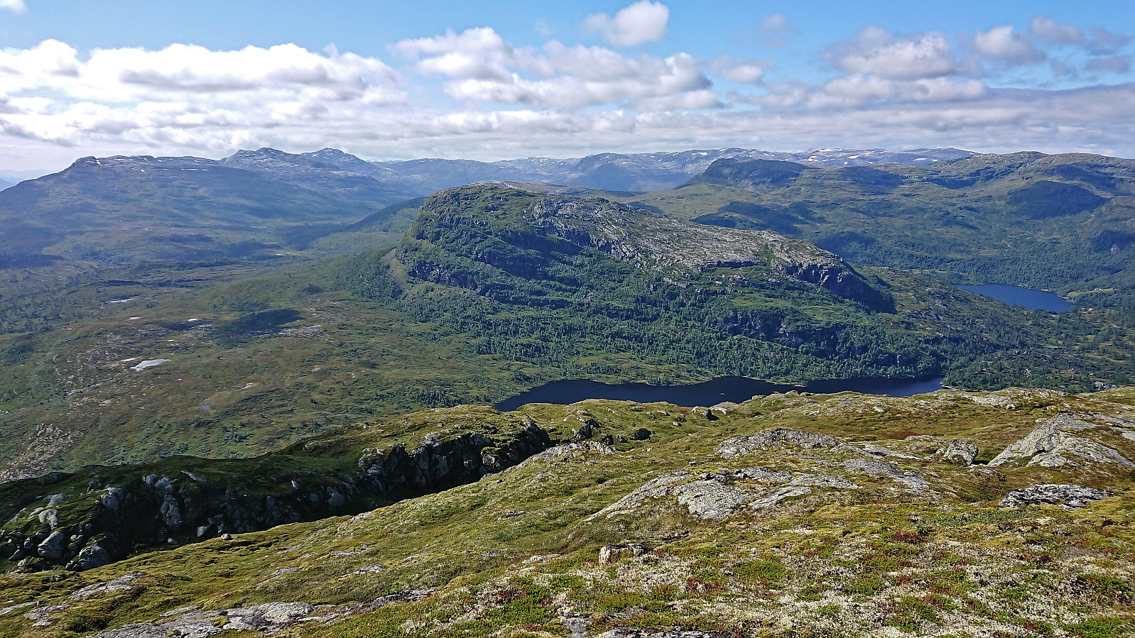
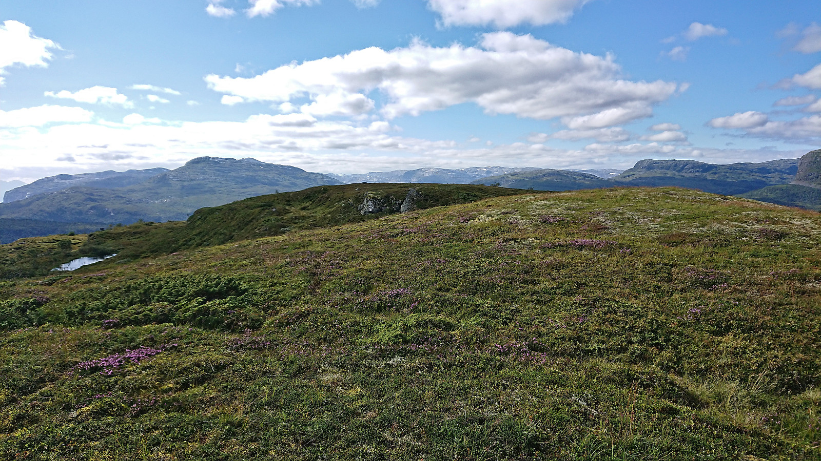
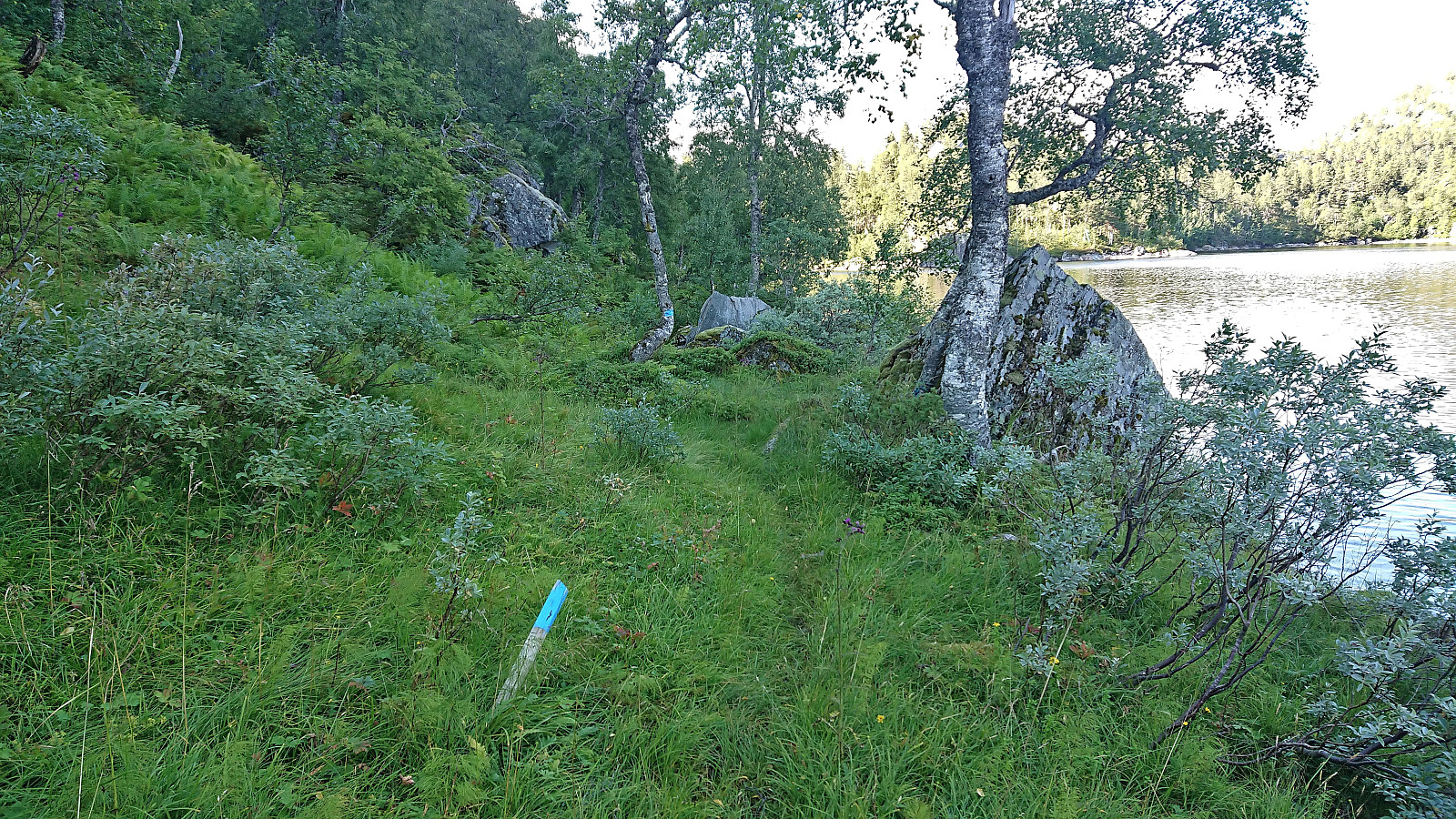
Back on the gravel road, I followed it northwest to Olastøl with the plan to follow the trail north on the west side of Krokavatnet. But while I largely followed where this trail was indicated on the map, it was very weak at best and generally not there at all. Progress in this wet area was therefore slower than expected and my hope of also having the time to visit Skamdalshorgi started to fade. As I got closer to Tjørolaholmen I however suddenly happened upon a trail marked with blue paint. Where this trail comes from or how far south it goes I have no idea. I was just happy to finally be on a trail again.
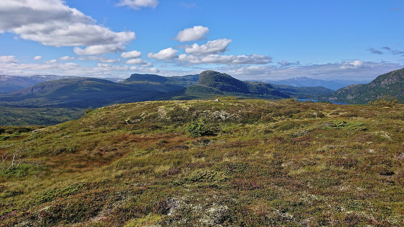
The marked trail took me towards Svartatjørni where the map indicated that there might be a possible shortcut south to the summit of Skamdalshorgi (compared to heading all the way north to the gravel road and following the marked trail). I gave it a short attempt, but quickly had to conclude that the dense undergrowth would take too long to traverse and I would risk not making the bus back to Voss, i.e. Skamdalshorgi would have to wait. I instead returned to the marked trail and took the time to eat lots of blueberries before continuing north to the gravel road at Hola. The hike was then concluded by walking north along the road and descending back to the main road at Svelgane.
In summary, a hike combining Høgahorgi, Horganipen and Steinsethorgi can very much be recommended and provides excellent views throughout. The shortcut of Horgastien could be considered, but perhaps best as an ascent route and only if a bit of climbing is within your comfort zone. When it comes to trails around Krokavatnet, I would strongly recommend trying the option on the east side of the lake. At least there were signs for Olastøl from the north at Kjeatjørni, indicating that there should be some sort of trail on this side of the lake.
| Startzeitpunkt | 27.08.2022 10:24 (UTC+01:00 SZ) |
| Endzeitpunkt | 27.08.2022 18:51 (UTC+01:00 SZ) |
| Gesamtzeit | 8h 26min |
| Zeit in Bewegung | 7h 36min |
| Pausenzeit | 0h 50min |
| Gesamtschnitt | 3,7km/h |
| Bewegungsschnitt | 4,1km/h |
| Entfernung | 31,3km |
| Höhenmeter | 1.757m |


Benutzerkommentare