
Vossamarsjen 2022 + Hjortahorgi and Skjemmehorgi (20.08.2022)

Written by hbar (Harald Barsnes)

| Start point | Hodnaberg p-plass (592m) |
|---|---|
| Endpoint | Gjelle (283m) |
| Characteristic | Hillwalk |
| Duration | 7h 09min |
| Distance | 29.8km |
| Vertical meters | 1,395m |
| GPS |
|
| Ascents | Gråsidetoppen (1,309m) | 20.08.2022 |
|---|---|---|
| Hjortahorgi (1,350m) | 20.08.2022 | |
| Skjemmehorgi (1,350m) | 20.08.2022 | |
| Visits of other PBEs | Hodnaberg p-plass (595m) | 20.08.2022 |
| Rosethytta (674m) | 20.08.2022 | |
| Timaglaset (1,230m) | 20.08.2022 | |
| Torfinnsheim (893m) | 20.08.2022 |
Vossamarsjen 2022 + Hjortahorgi and Skjemmehorgi
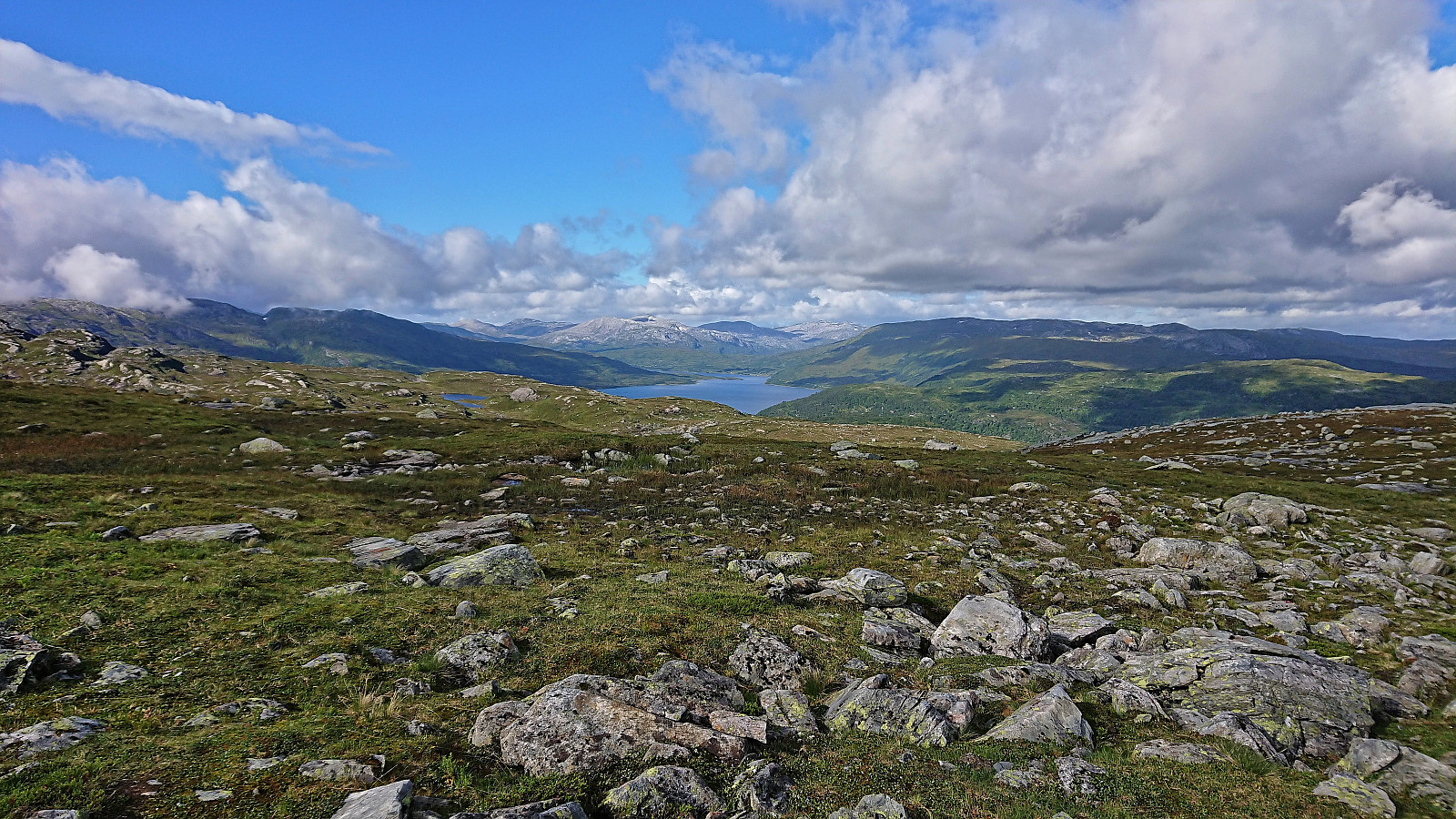
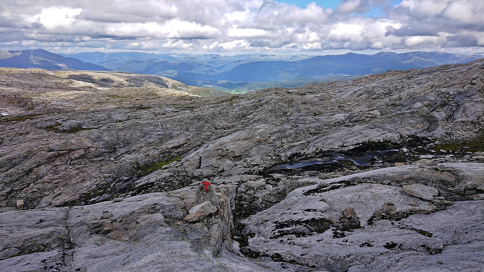
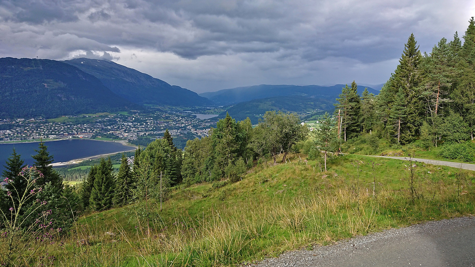
Vossamarsjen is a yearly hike organized by the Norwegian Trekking Association, or more specifically Voss Utferdslag, starting from Hodnaberg and following the T-marked trail via Torfinnsheim, Timaglaset, Gråsidetoppen and Roset, before ending up at Gjelle. After last year's success of combining Vossamarsjen with visits of Skorane, Nansenbu and Torfinnshorgi, I decided to have another go, but this time making an even longer detour and instead including a visit of Hjortahorgi.
After getting up very early on the Saturday morning, I took the train to Voss, where I almost missed the last organized bus to Hodnaberg due to the train leaving twenty minutes late from Bergen. The bus arrived at Hodnaberg just after half past nine and I was finally ready to start hiking. I started by following the standard route via the three first check points at Torfinnsheim, Dalsgrovi and Timaglaset, but instead of continuing northeast to the fourth checkpoint at Gråsidetoppen, I turned south along the marked trail to Nansenbu.
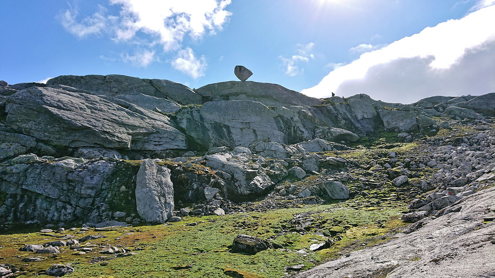
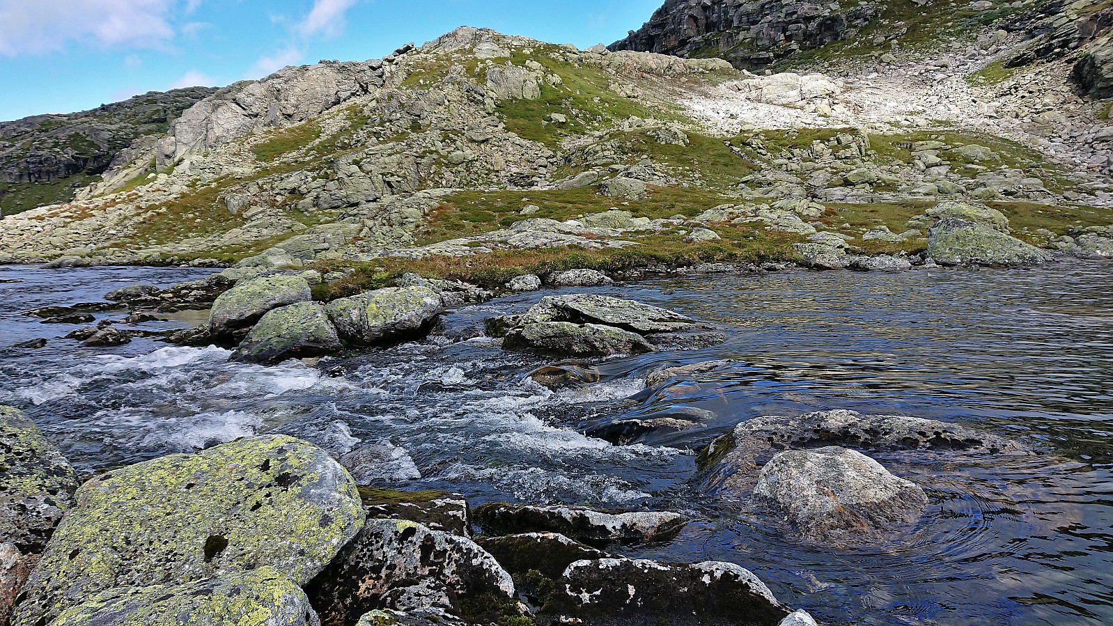
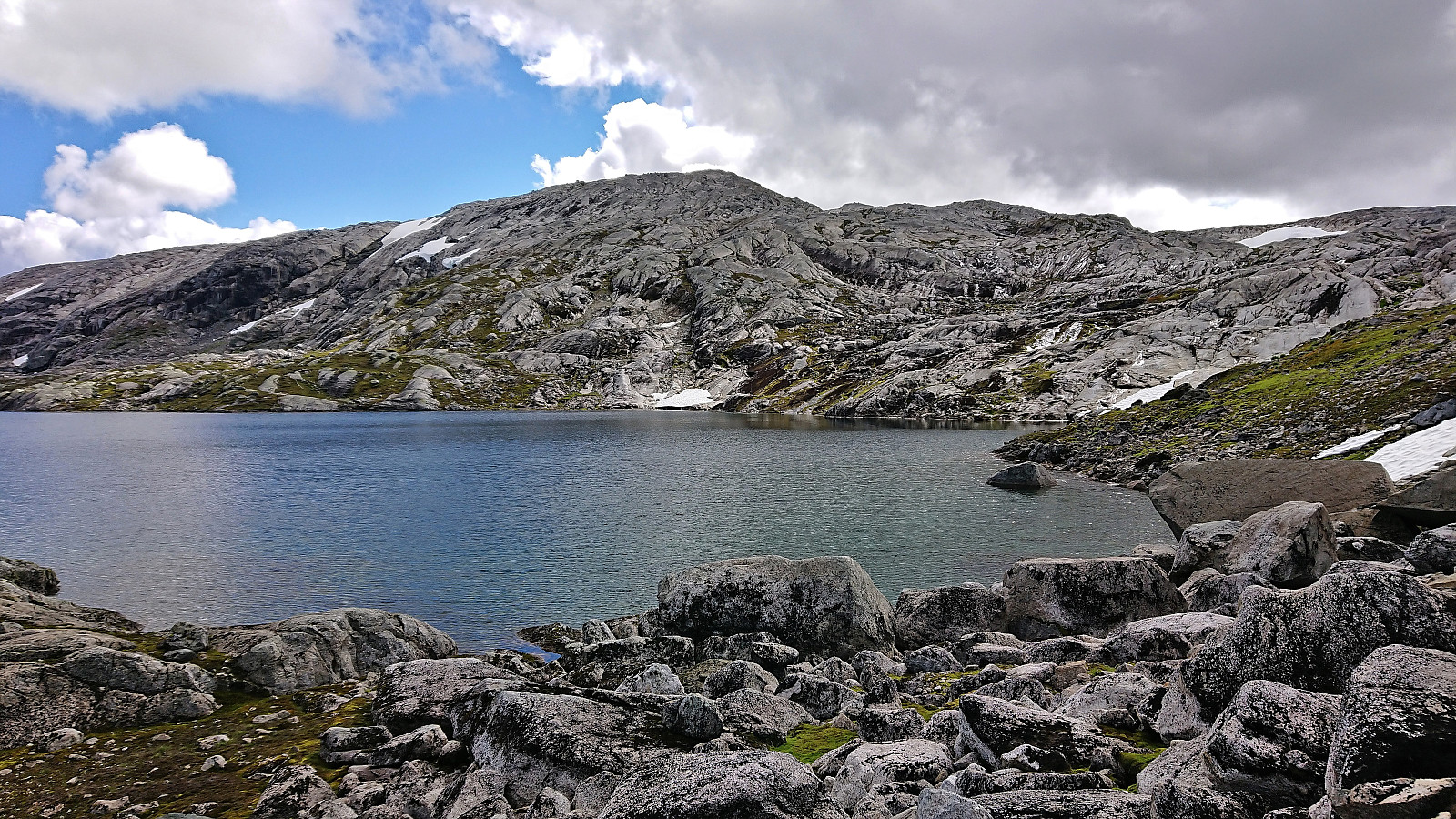
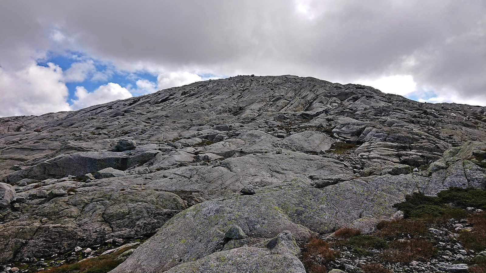
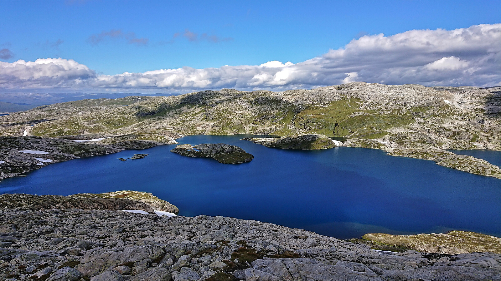
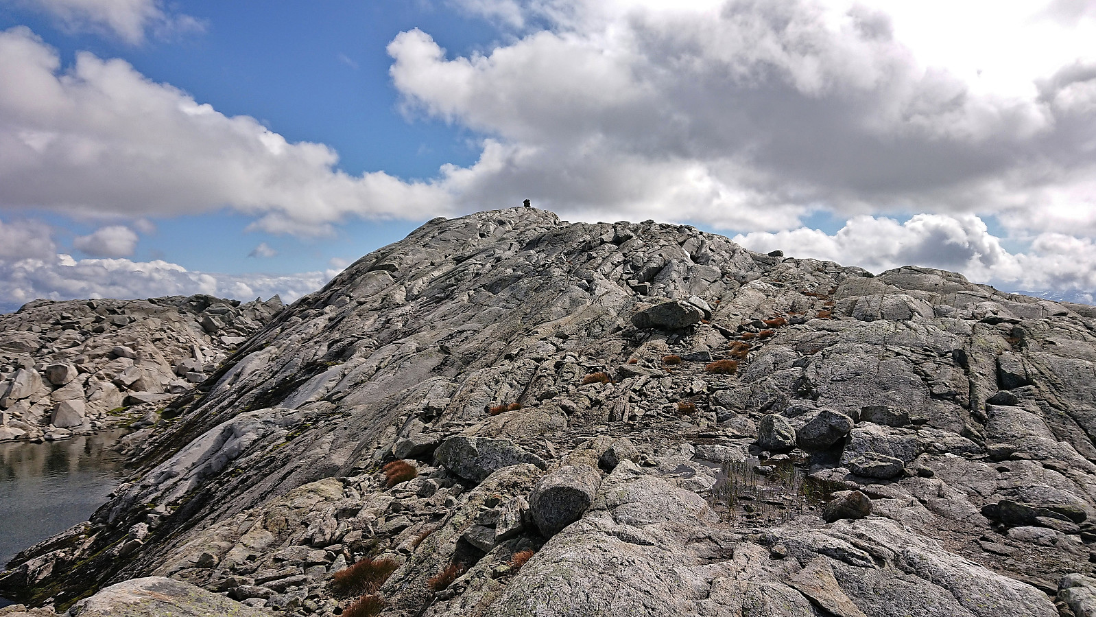
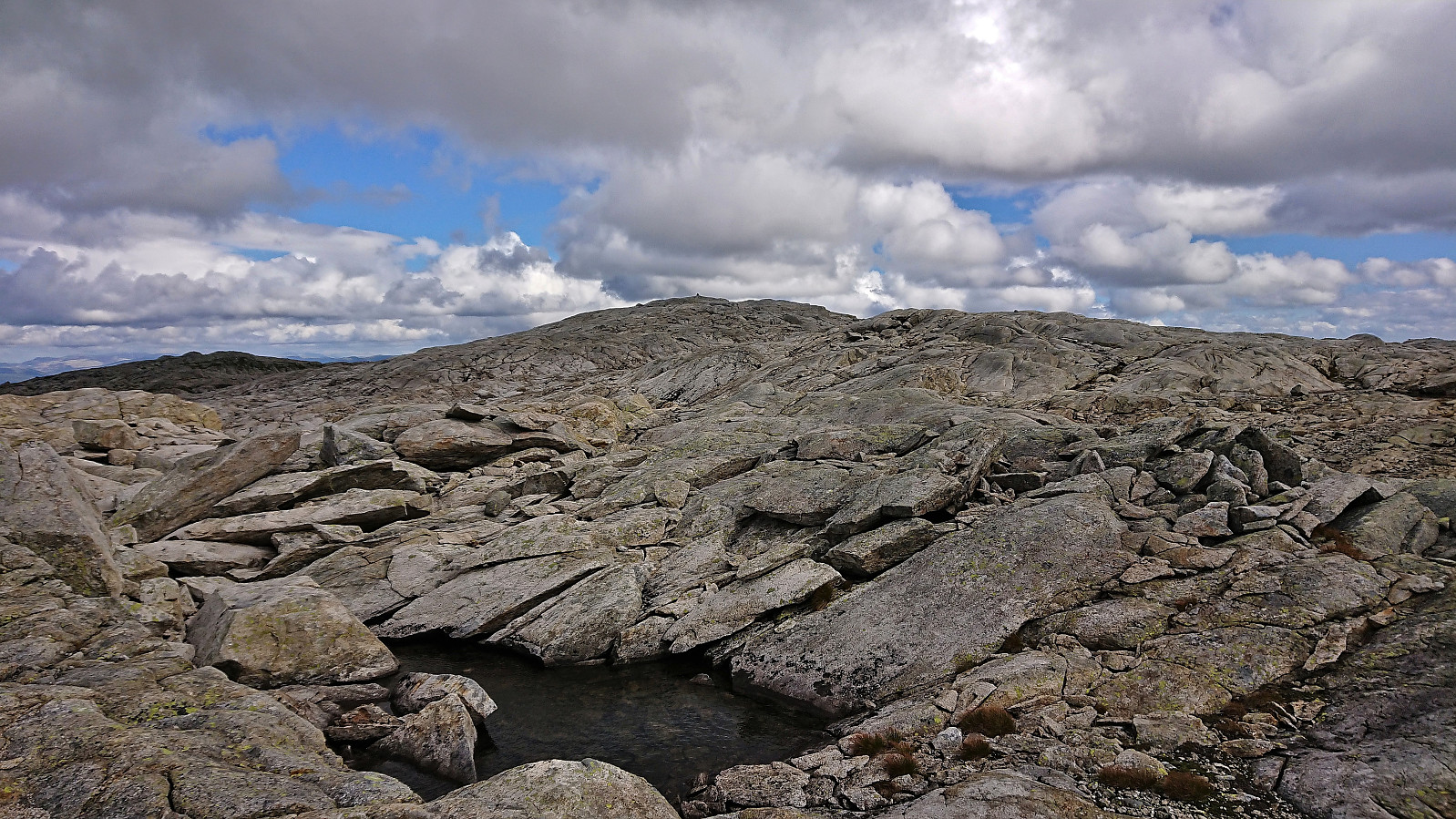
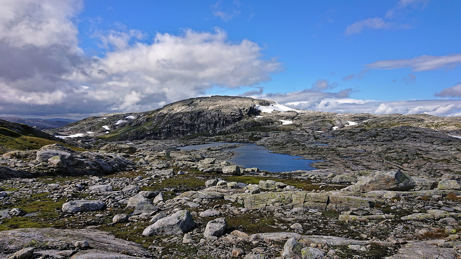
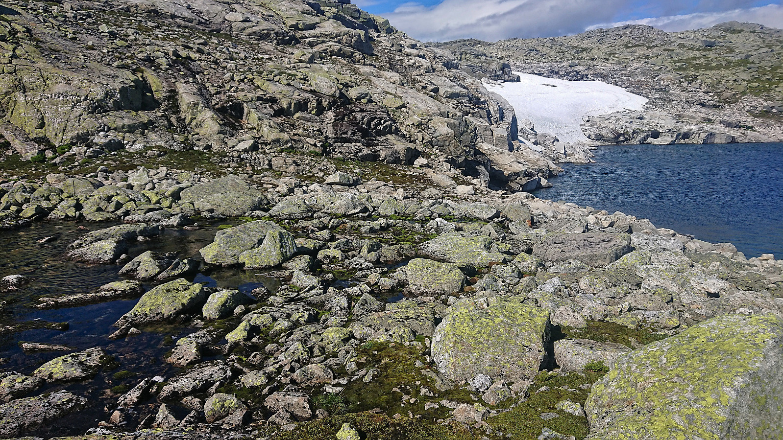
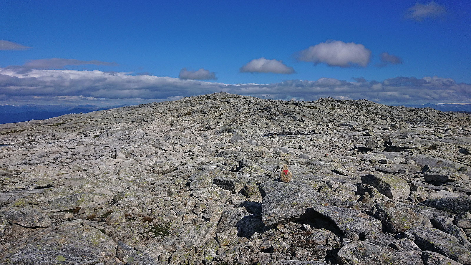
Shortly before arriving at Nansenbu, I left the marked trail and found my own way along the west side of Stora Torfinnsdalsvatnet. This included taking off my shoes to wade across the river and walking along the lake until I could start the ascent. This may be more difficult if the steep slopes towards the lake are covered by snow. From there on, the final ascent was straightforward and the summit was reached without any issues. I took a short break out of the wind, during which the sun reappeared for some nice pictures, before starting my descent.
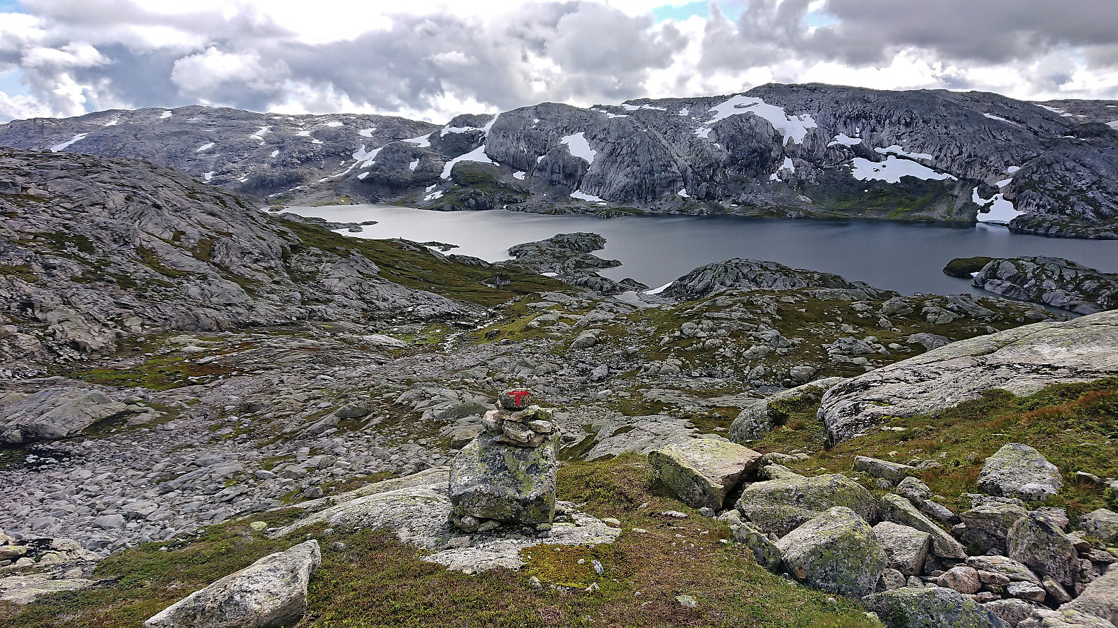
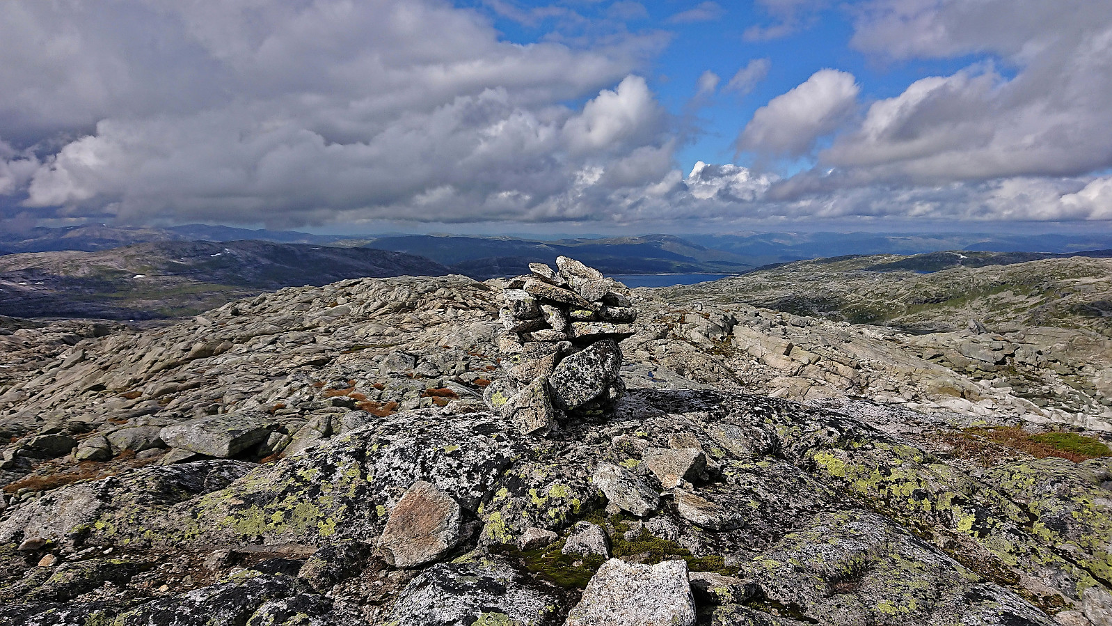
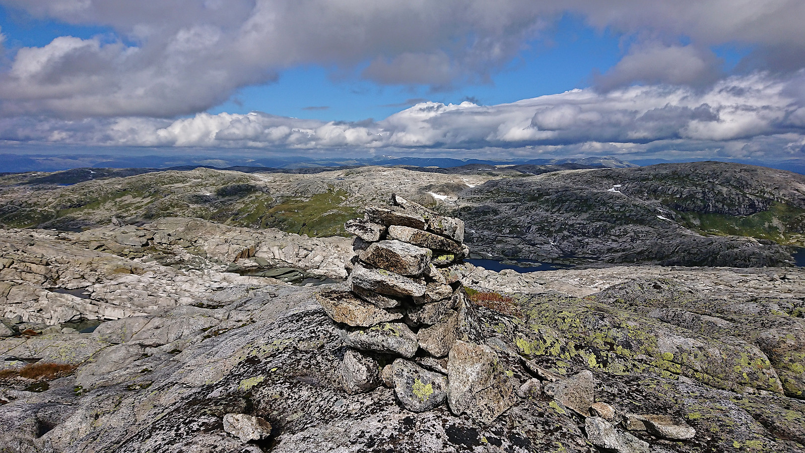
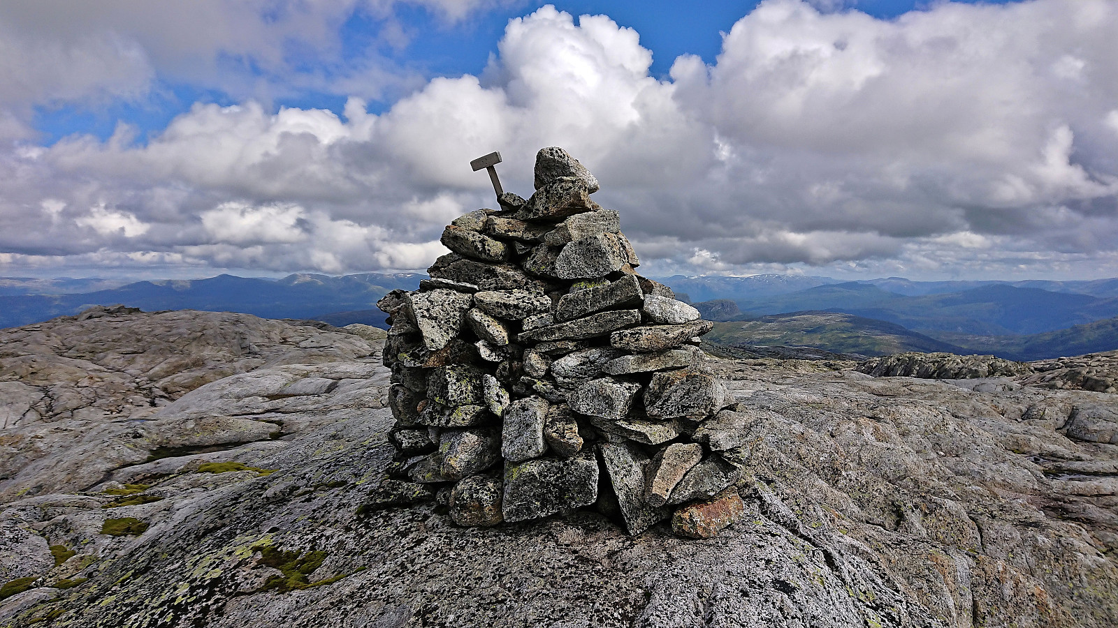
The initial plan had been to descend northeast to Stora Torfinnsdalsvatnet and from there continue north/northeast to reconnect with the official Vossamarsjen route. However, I quickly realized that this would require lots of off-trail ups and downs, as I somehow had to navigate over or around Torfinnshorgi. I therefore decided to instead head east to Skjemmehorgi and from there follow the marked trail north to Gråsidetoppen. This would be longer, but hopefully the marked trail would make it faster.
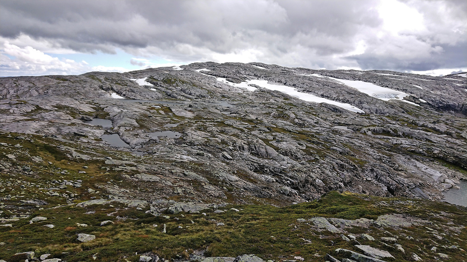
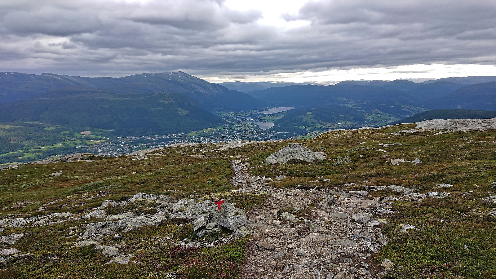
Speed was now actually quite important, as I was starting to worry that my major detour from the official route had taking longer than expected. The summit of Skjemmehorgi was therefore only paid a short visit before starting my search for the marked trail just east of the summit. The trail was easily located, and while it crossed over more minor hills than I had hoped, it greatly sped up my journey to where the trail split south of Gråsidetoppen.
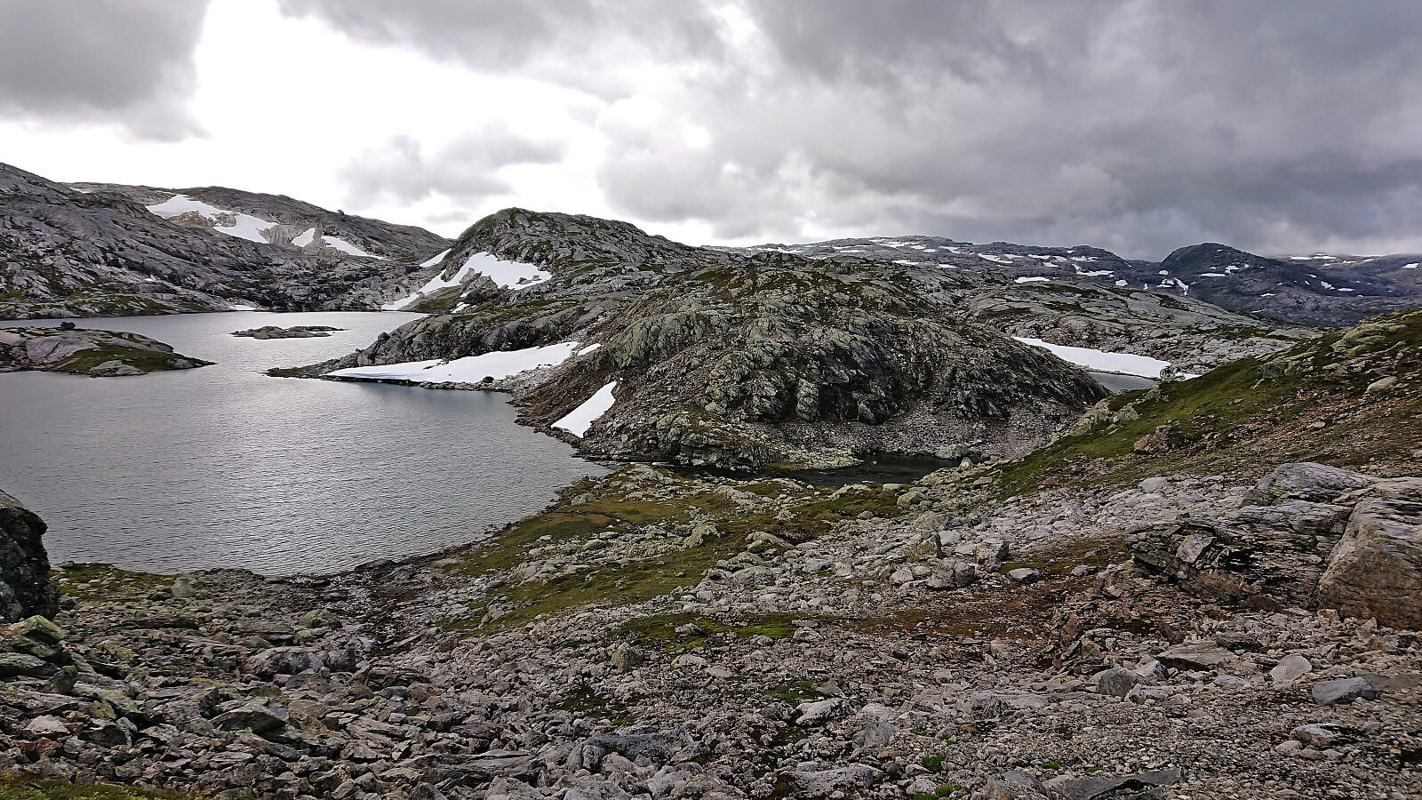
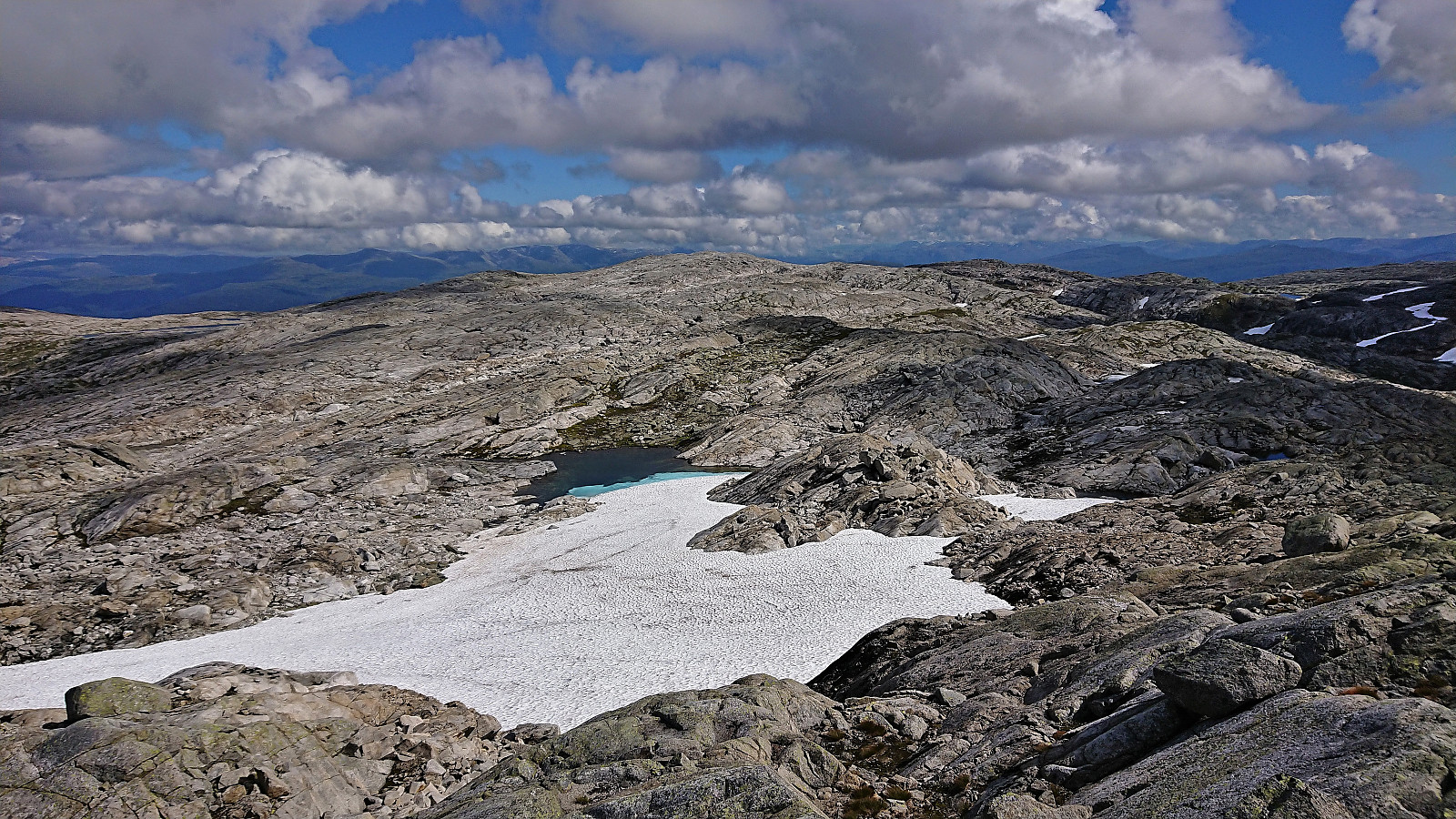
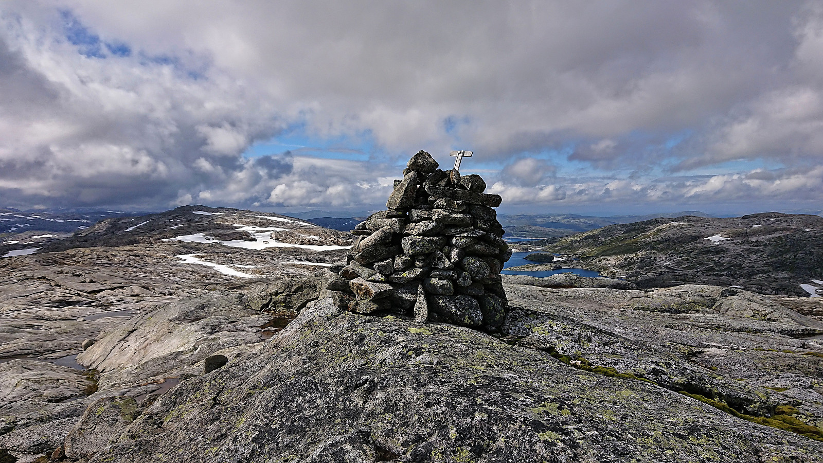
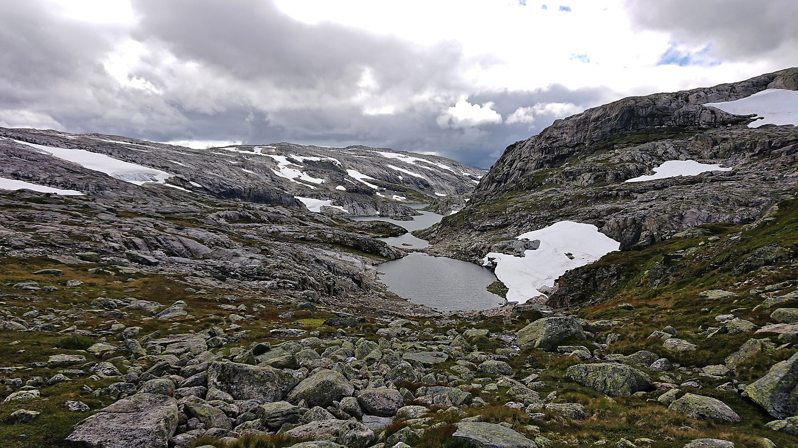
Here I had two options, head west and then north to reconnect with the trail to Gråsidetoppen, or continue north/northeast and ascend to Gråsidetoppen from the east. Given that the latter would result in going up and down the same way, I decided on the former, even though this potentially involved another river crossing between the small unnamed 1233 and 1230 lakes south of the summit. However, this crossing turned out to be almost dry and could be crossed without any risk of getting wet.
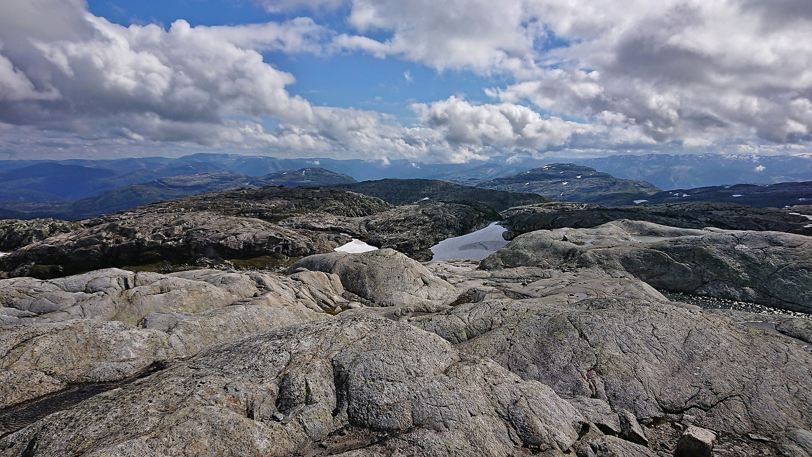
At Gråsidetoppen I failed to locate the checkpoint and called the organizers, if only such that they did not start searching for me. They had recently closed the checkpoint assuming that everybody had passed. Completely my own fault of course, as I had greatly deviated from the official route. I then started my descent to Gjelle and quickly caught up with the members of Voss Utferdslag, some of whom I knew from earlier trips, hence they were not very surprised that I was the one lagging behind due to detours to new summits. ;)
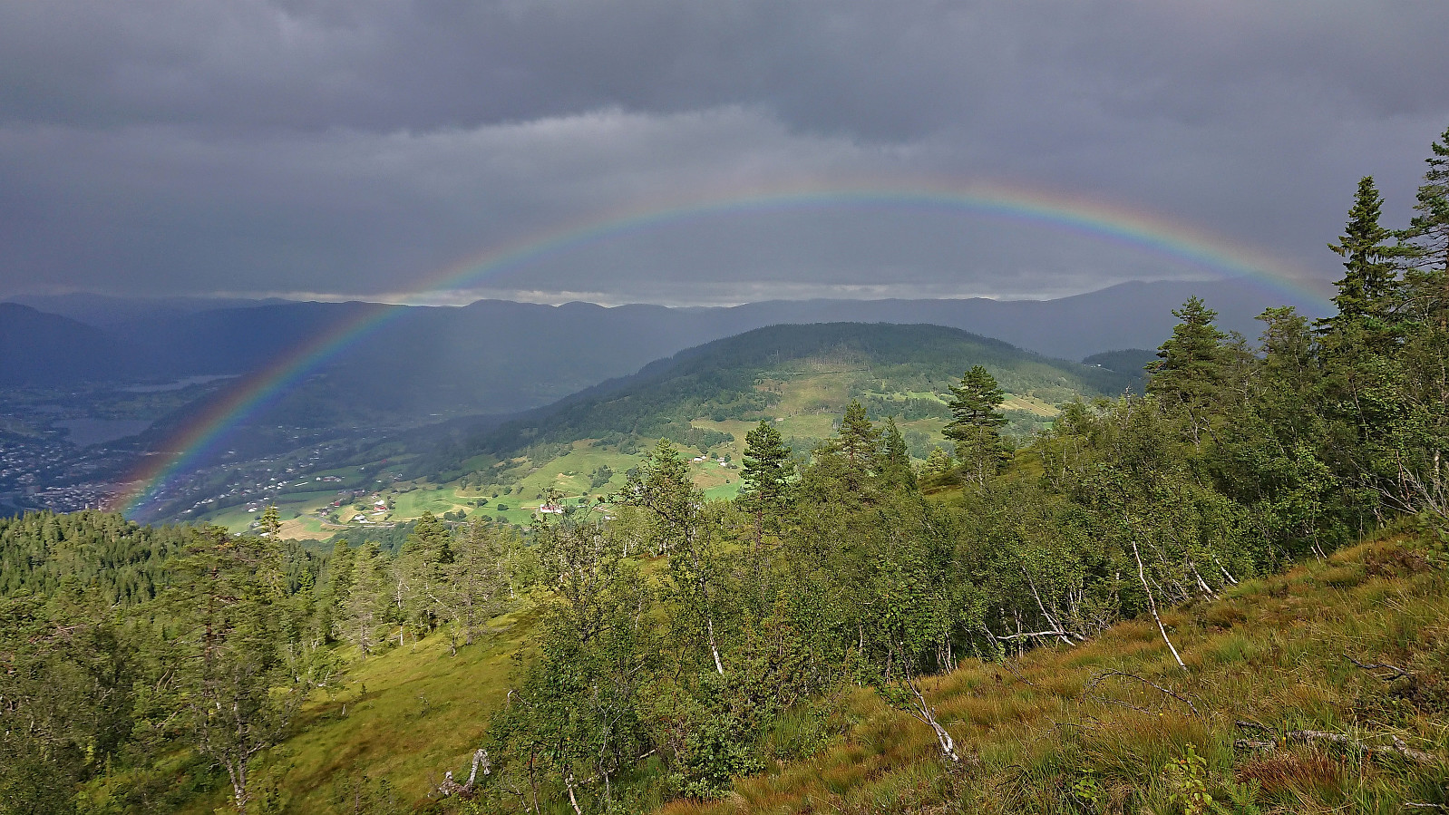
As I was approaching Rosethytta the light drizzle that had been there since shortly after leaving Gråsidetoppen now turned into a proper rain shower, but thankfully it did not last long and even resulted in a nice rainbow. The hike was completed at Gjelle, with the traditional serving of warm meat stew and cold lemonade, before a minibus took us back to Voss. Here I had less than an hour until the next train to Bergen.
In summary, Vossamarsjen is a very nice hike that can again be highly recommended. My extended detour via Hjortahorgi and Skjemmehorgi is most likely taking it one step too far though. So if you plan on doing something similar it would probably be best to inform the organizers. That way you can even skip the unnecessary ascent to Gråsidetoppen and rather just head directly to Gjelle.

| Start date | 20.08.2022 09:35 (UTC+01:00 DST) |
| End date | 20.08.2022 16:44 (UTC+01:00 DST) |
| Total Time | 7h 09min |
| Moving Time | 6h 52min |
| Stopped Time | 0h 16min |
| Overall Average | 4.2km/h |
| Moving Average | 4.3km/h |
| Distance | 29.8km |
| Vertical meters | 1,395m |


User comments