
Bjørndalshesten and Storebrekkuna from Voladammen to Afdal (14.08.2022)

Written by hbar (Harald Barsnes)

| Start point | Voladammen p-plass (921m) |
|---|---|
| Endpoint | Afdal (275m) |
| Characteristic | Hillwalk |
| Duration | 7h 41min |
| Distance | 24.7km |
| Vertical meters | 1,117m |
| GPS |
|
| Ascents | Bjørndalshesten (1,219m) | 14.08.2022 |
|---|---|---|
| Storebrekkuna (1,319m) | 14.08.2022 | |
| Visits of other PBEs | Afdalsfossen (351m) | 14.08.2022 |
| Breifossen (389m) | 14.08.2022 | |
| Tvinnestølen (1,057m) | 14.08.2022 | |
| Voladammen p-plass (915m) | 14.08.2022 | |
| Volahytta (941m) | 14.08.2022 |
Bjørndalshesten and Storebrekkuna from Voladammen to Afdal
This Sunday I joined a hike organized by the Norwegian Trekking Association, more specifically Voss Utferdslag, from Voladammen to Afdal. Or rather I mainly joined the bus transportation at the start and end of the hike, as I had in advance gotten the OK to head off on my own in order to visit a couple of new summits in the area. After getting up very early in the morning, I therefore took the train to Voss where I joined up with the rest of hikers just before 09:00.
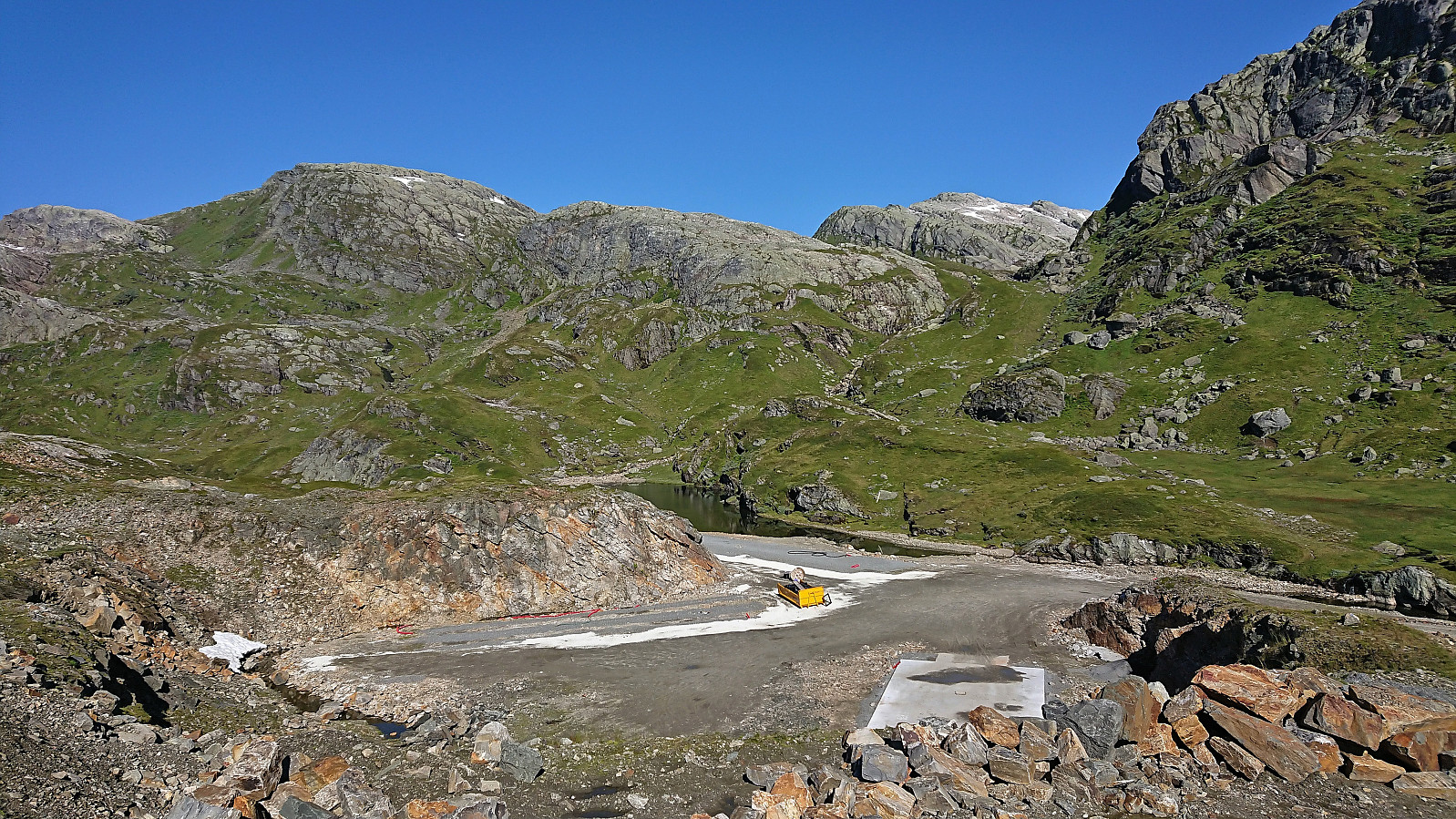
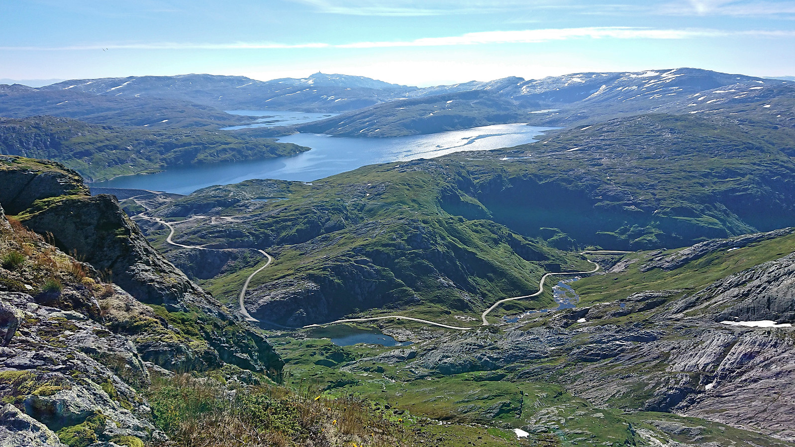
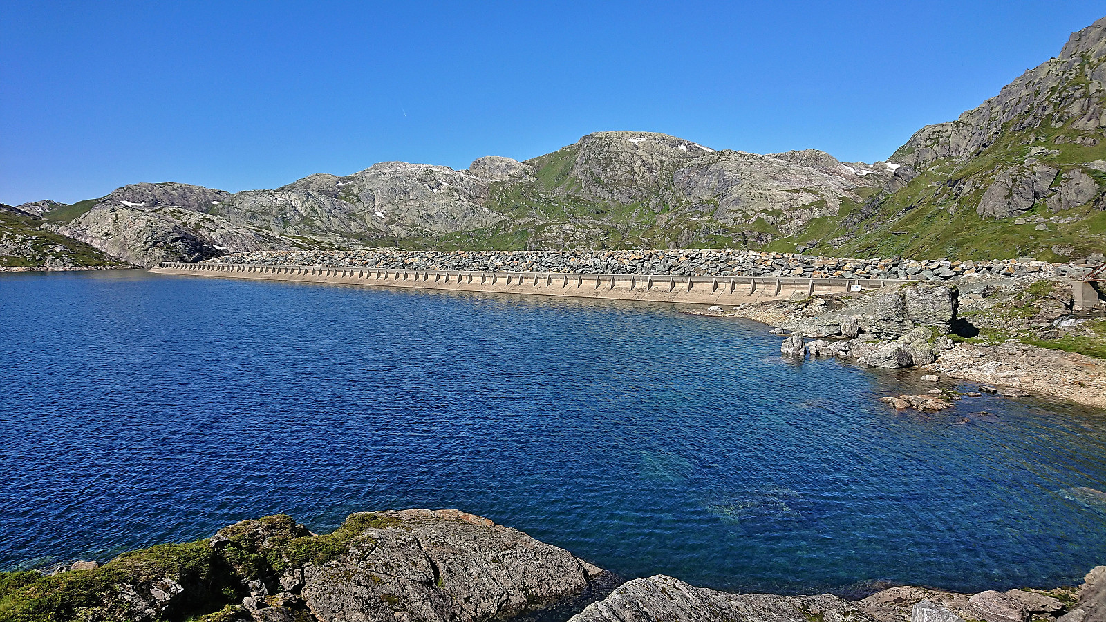
The drive up the winding gravel road from Brekkhus to Voladammen was described as an attraction in itself by Voss Utferdslag, which was even more true when done in a large bus with lots of narrow turns and two small tunnels that had to be traversed before reaching the parking lot next to the dam. Here I left the rest of the group and continued northwest on my own looking for the trail to Kvitanosi.
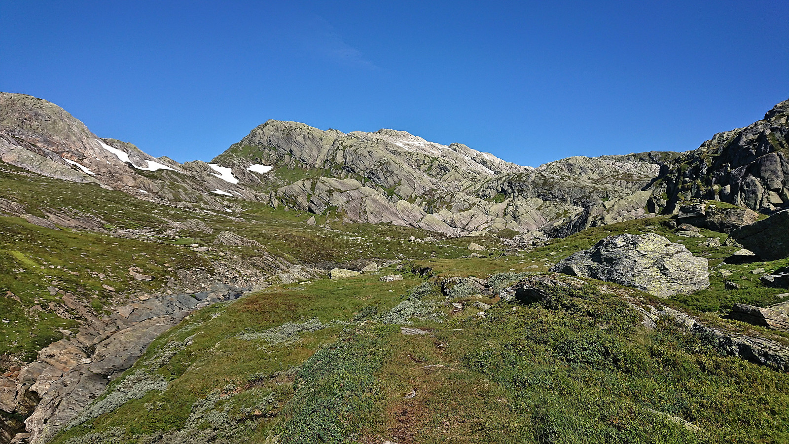
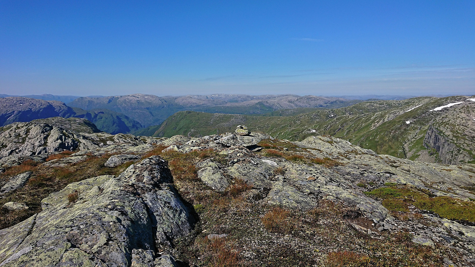
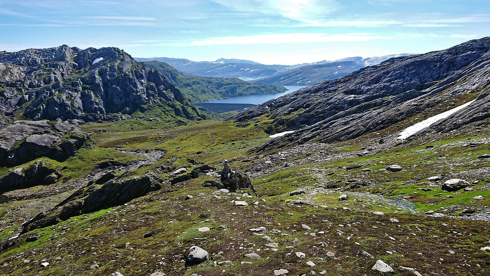
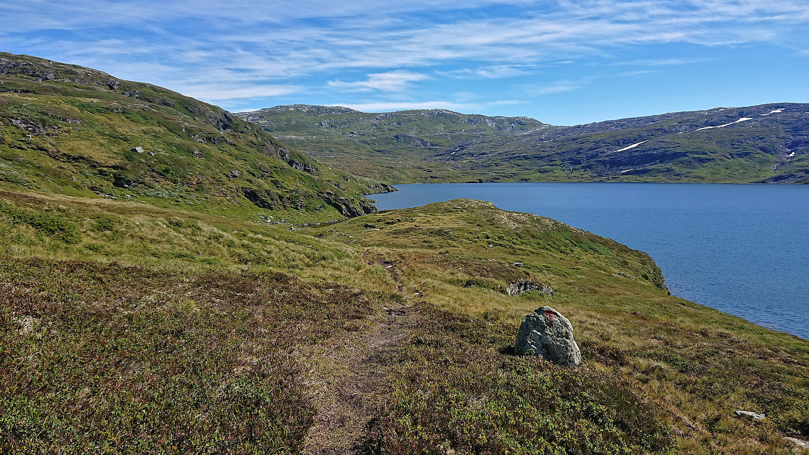
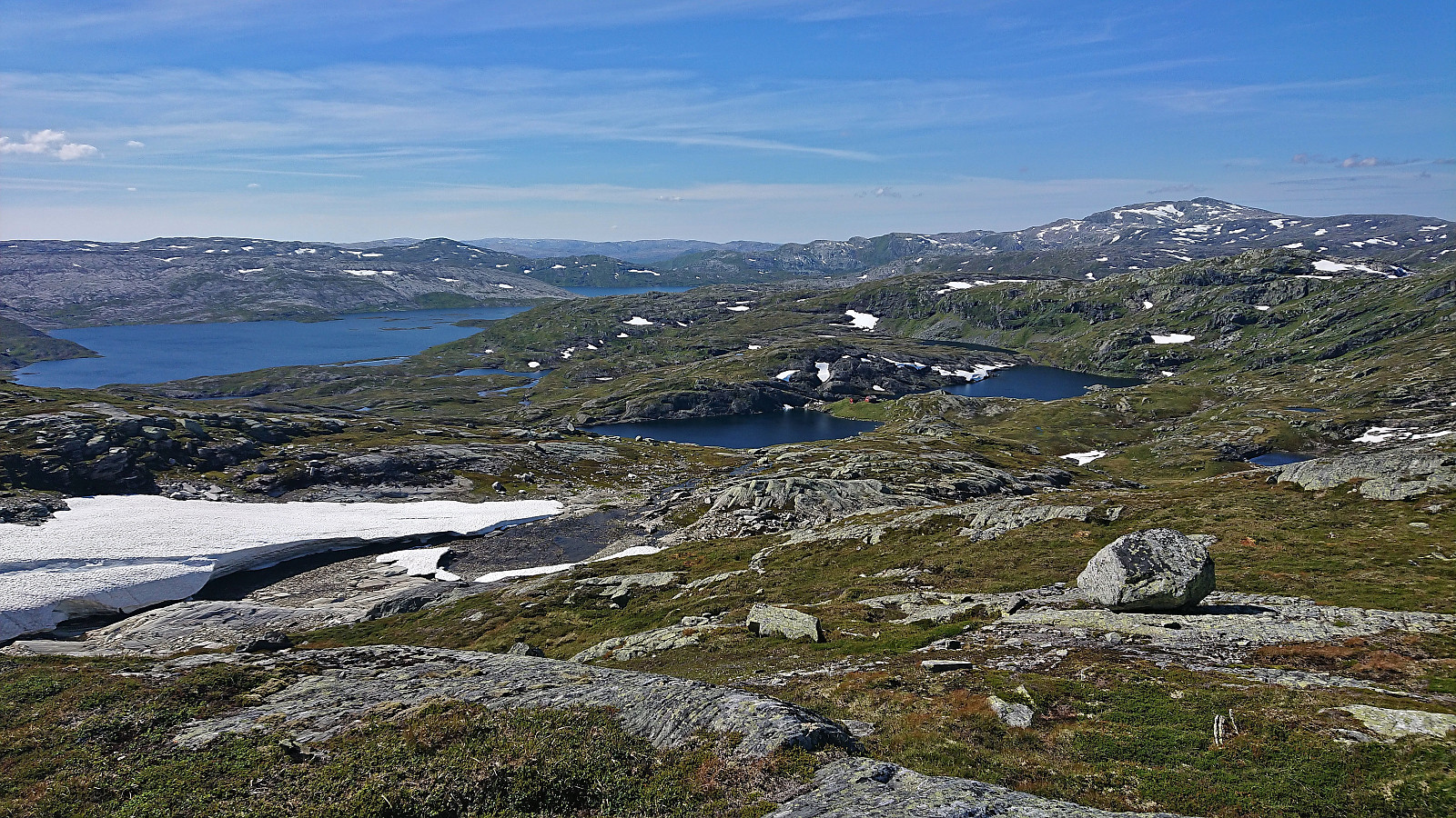
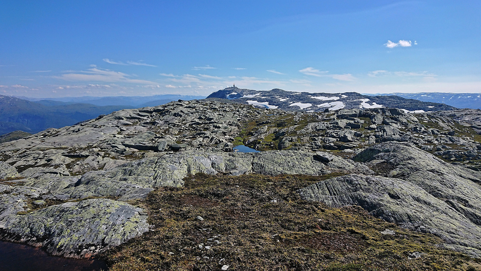
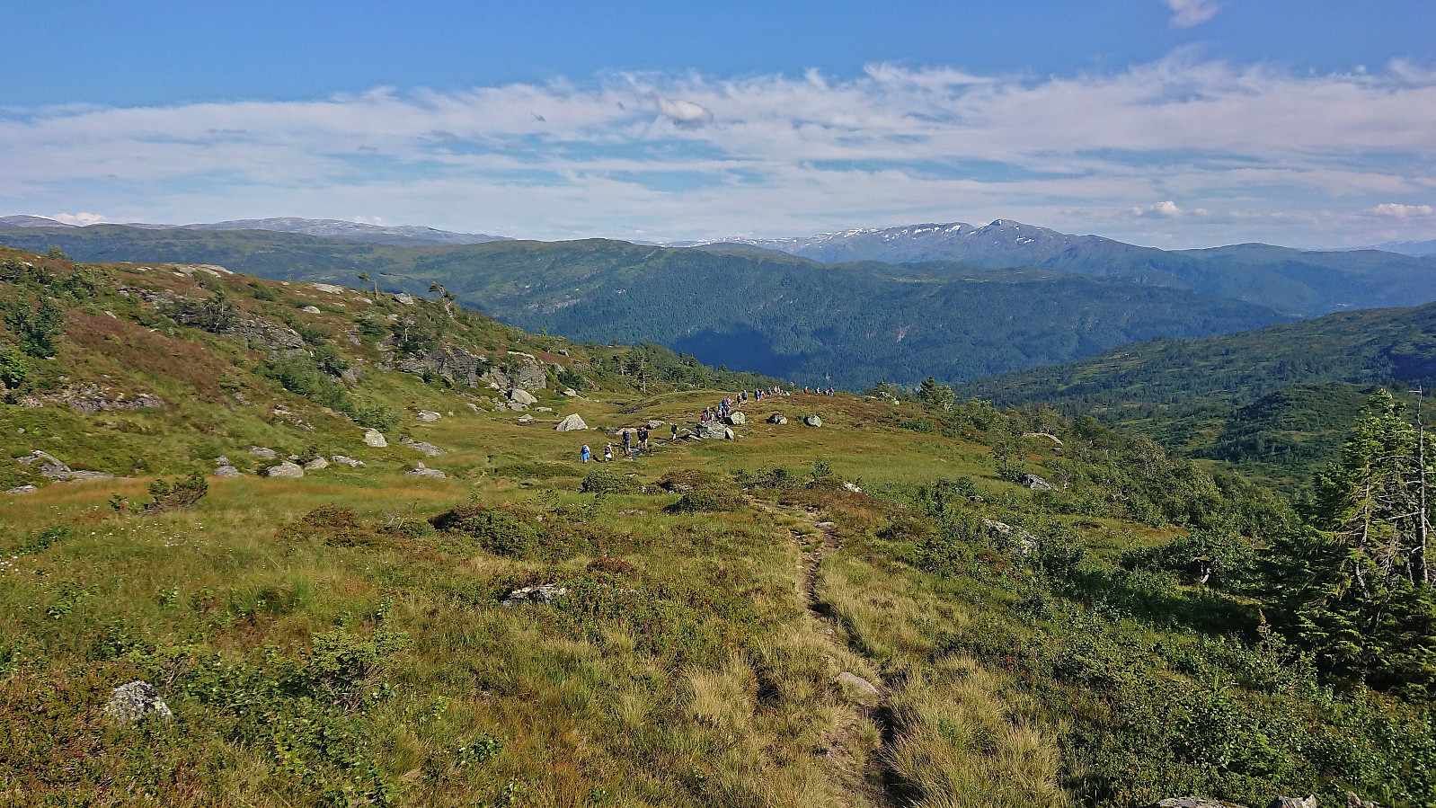
At first I struggled to locate the trail indicated on the map, but found it when entering Snjodalen. I soon left the main trail and shortly followed a set of small cairns before heading off-trail towards the highest point of Bjørndalshesten. The summit was reached without any real challenges and provided excellent views. After a couple of pictures I descended along pretty much the same route, but instead of returning to the parking lot I followed a marked trail taking me to the northeastern end of the dam.
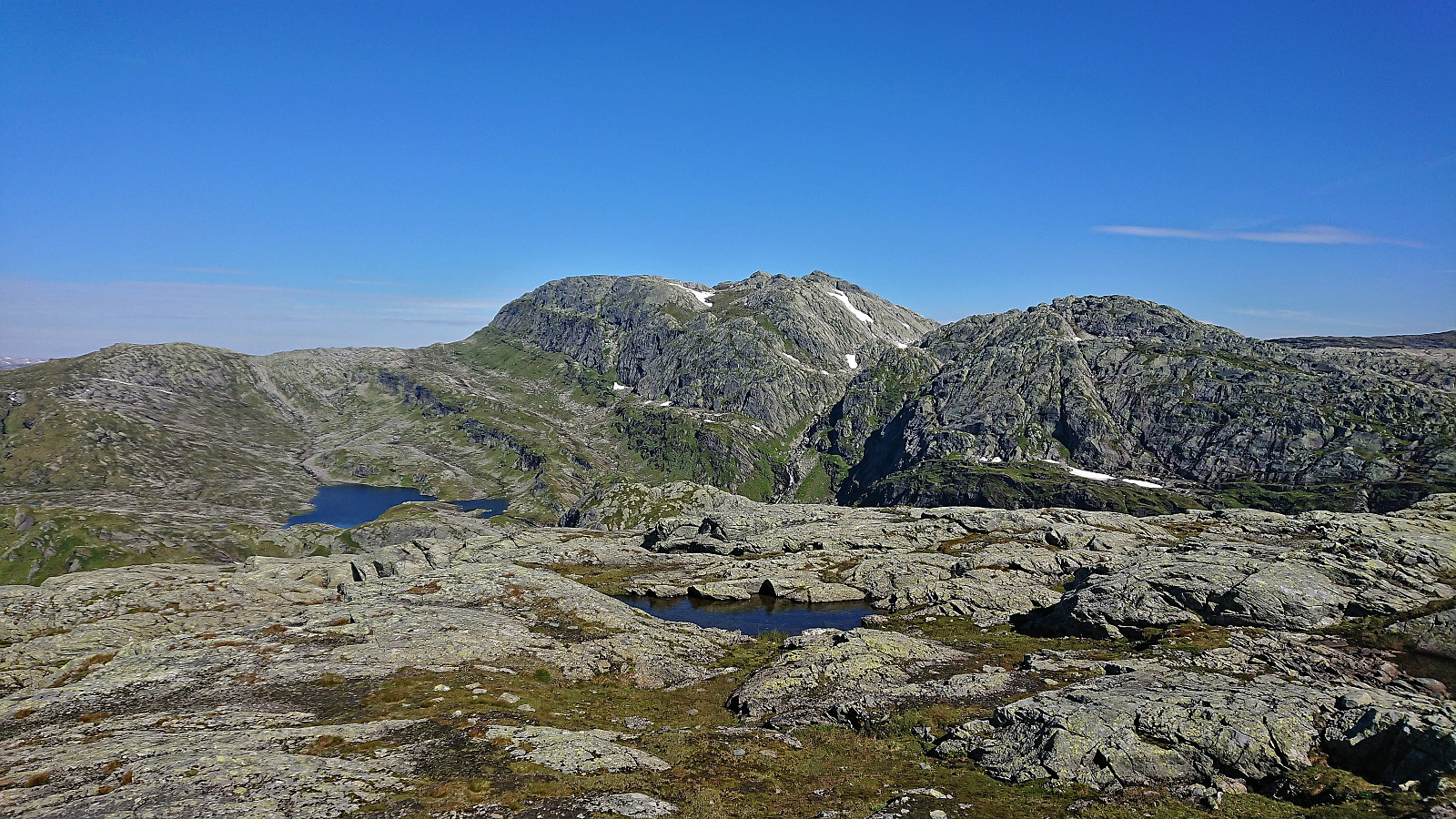
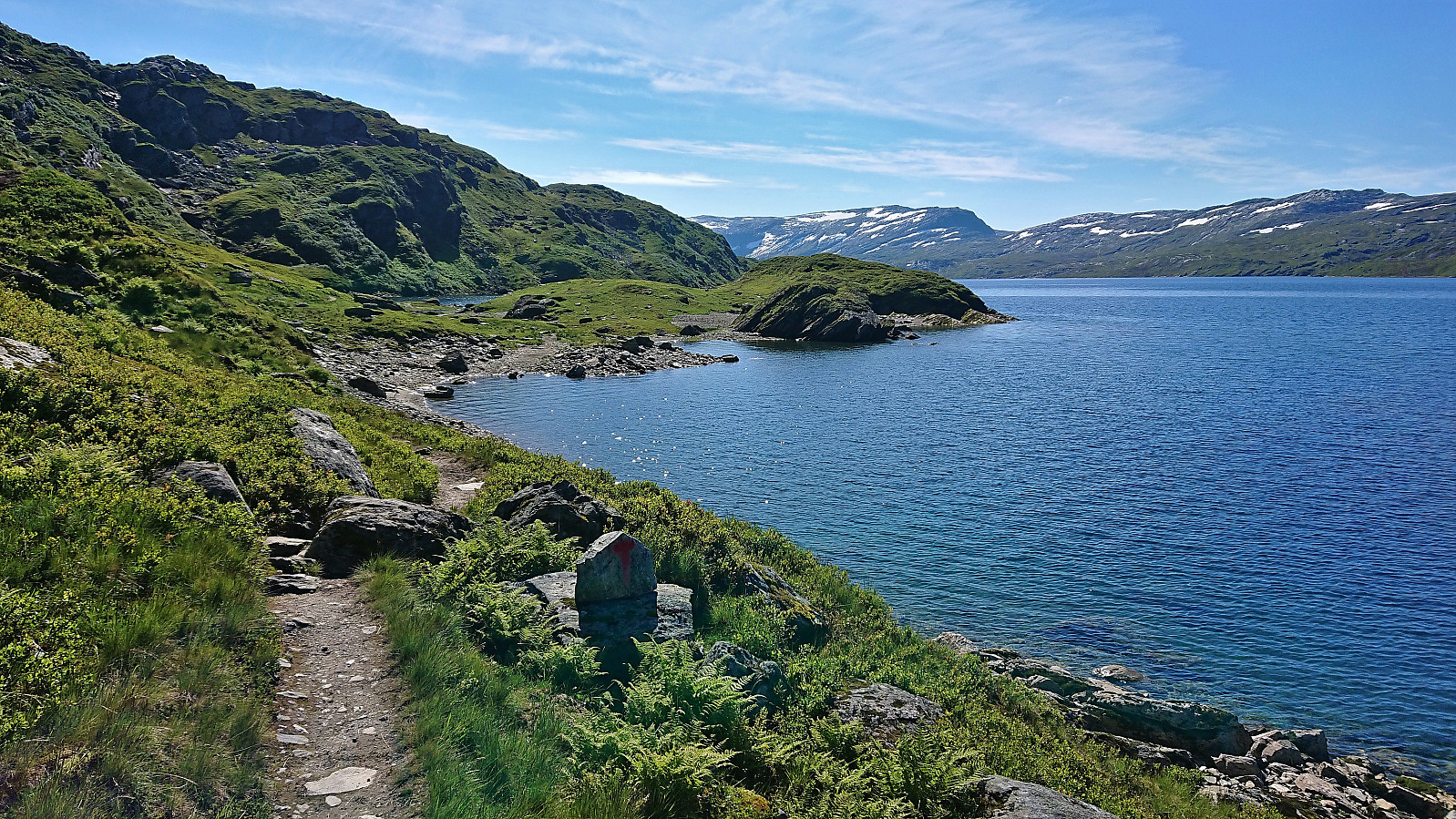
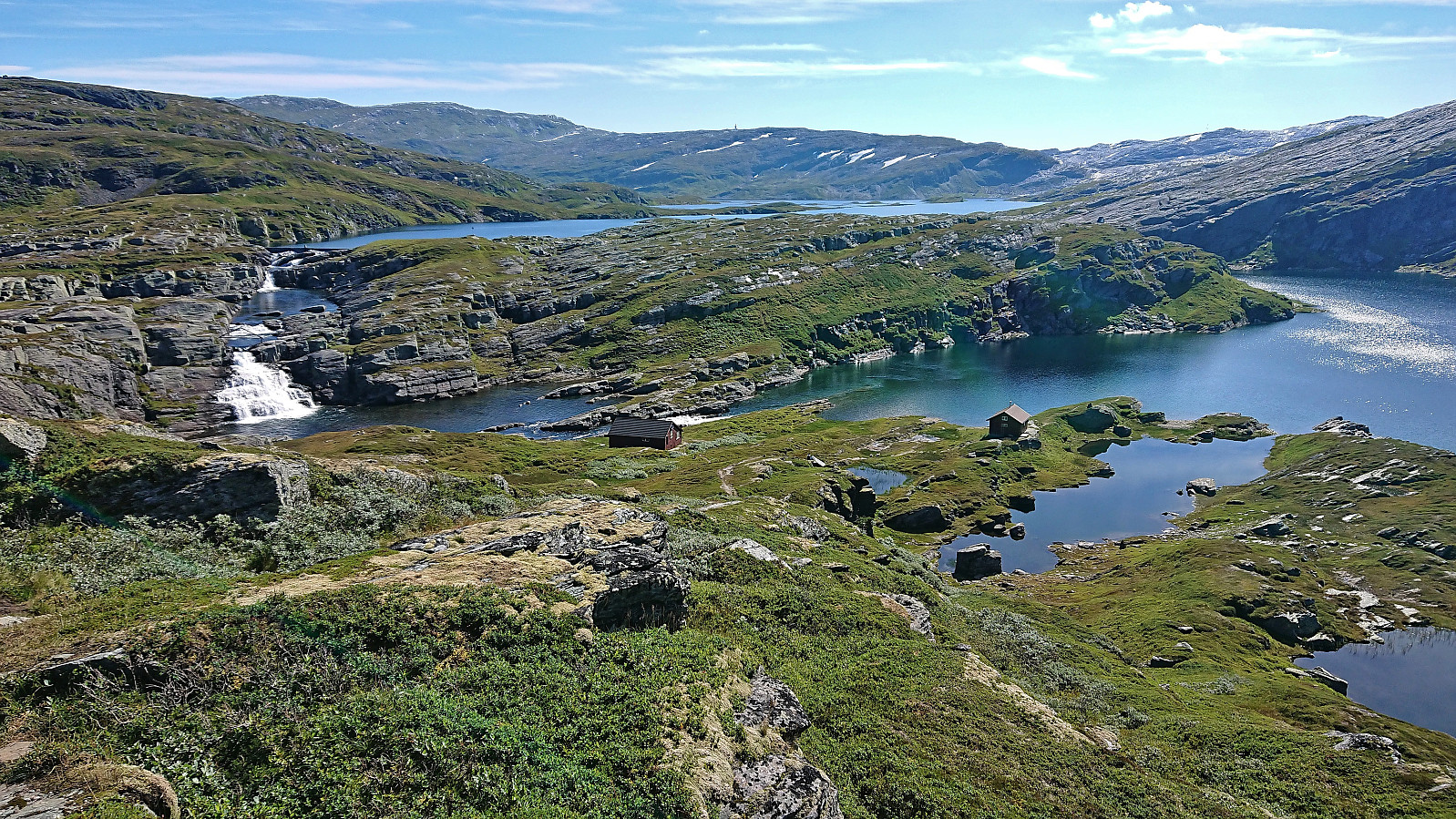
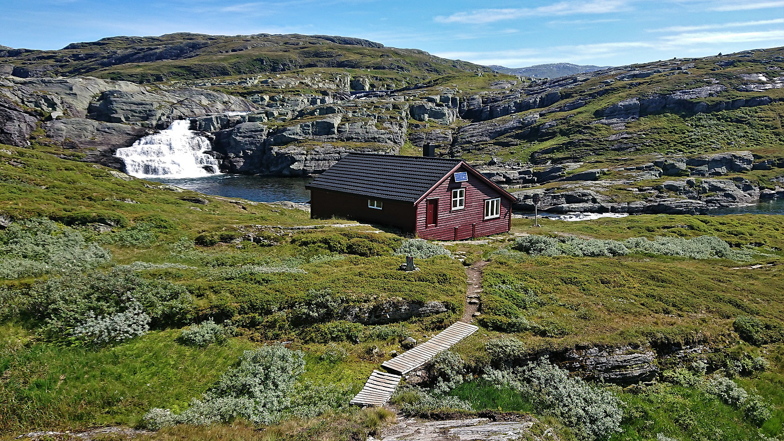
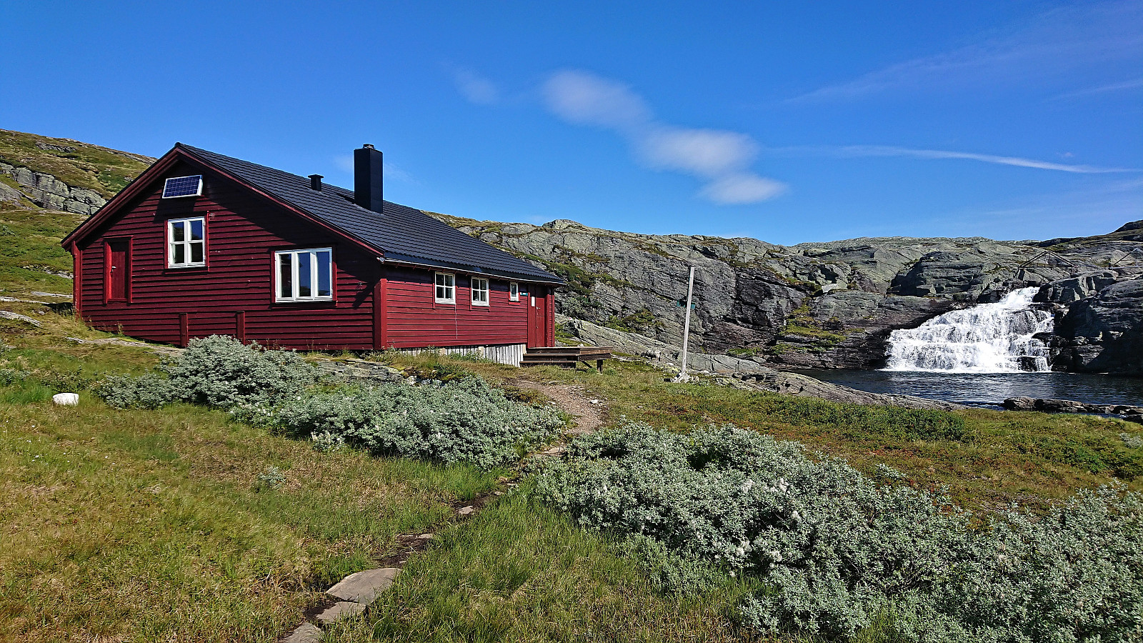
Upon returning to the dam, the rest of the group now had an almost two-hour head start. Hence I immediately set out on the marked trail to Volahytta and Tvinnestølen. While it is possible to skip Volahytta and head directly to Tvinnestølen (both via marked trails), the surroundings of Volahytta was well worth the minor detour.
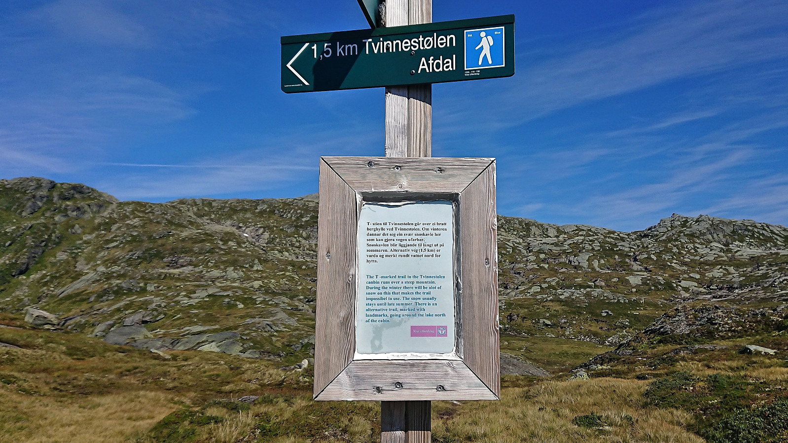
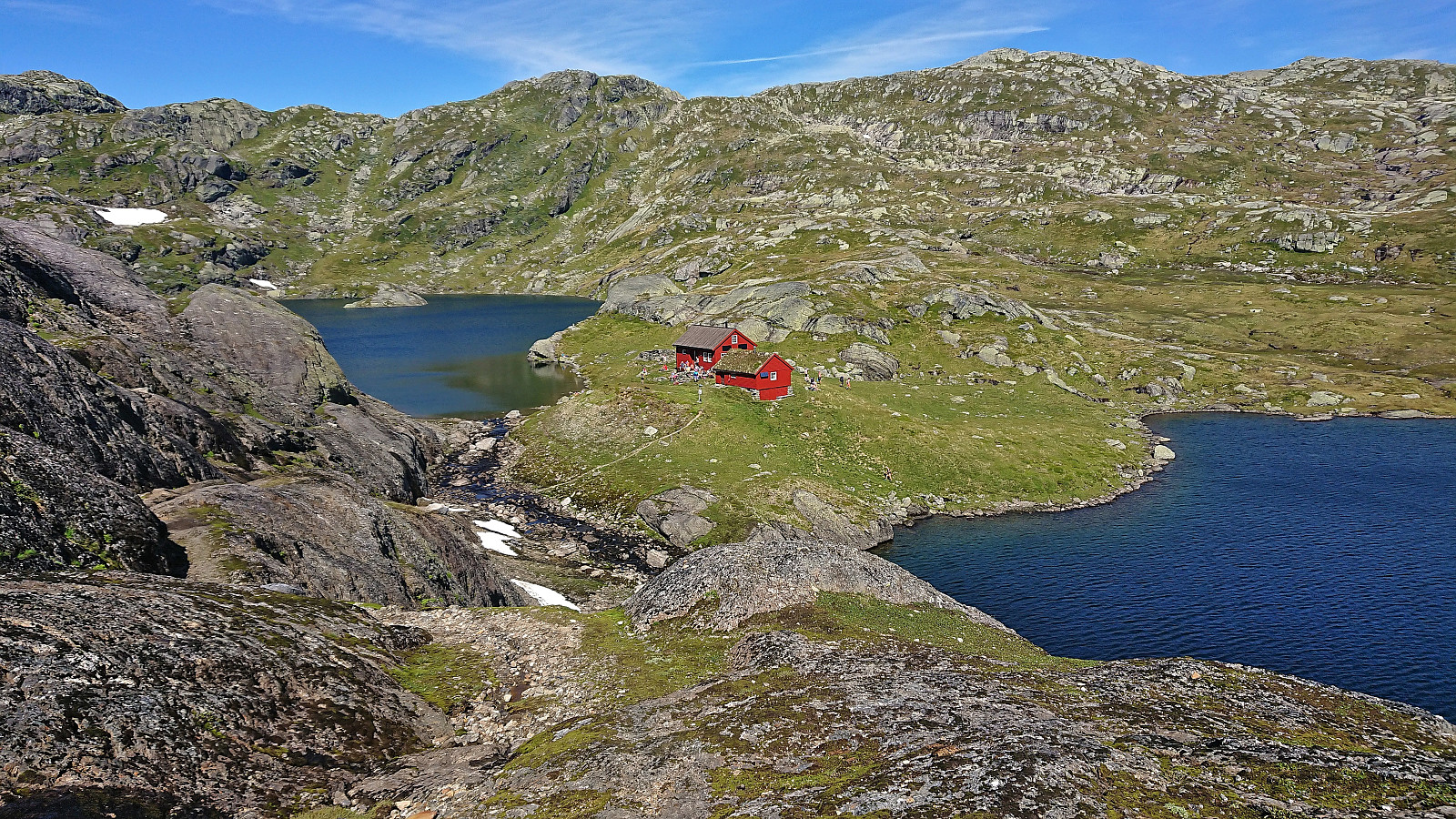
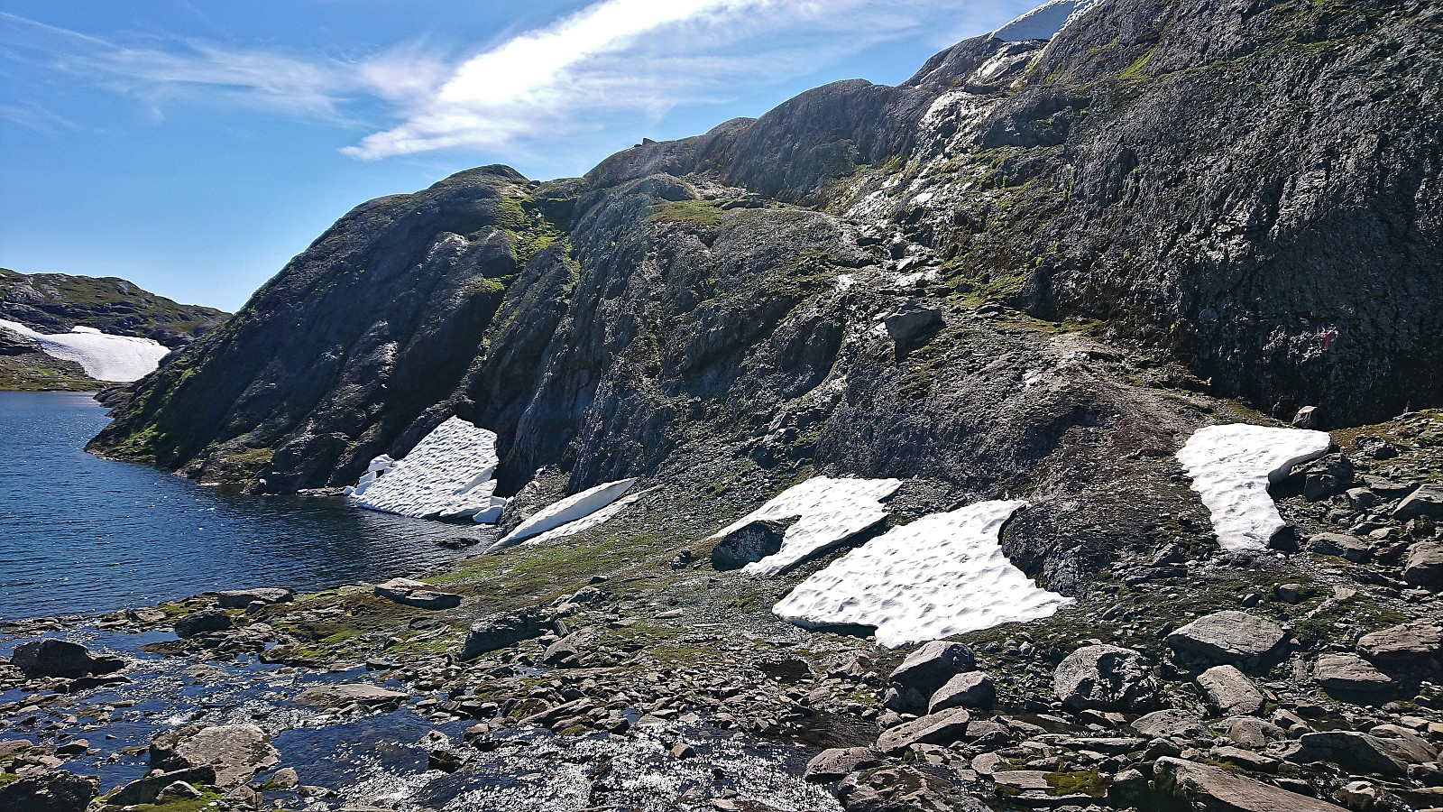
At Tvinnestølen I caught up with Voss Utferdslag when they were taking an extended break outside the cabin. Note that there are two routes to Tvinnestølen when arriving from the west, where the shorter more direct route follows a narrow ledge that is straightforward to walk along in the summer, but that should be avoided when covered by snow. Today it was completely free of snow and hence the longer detour could be skipped.
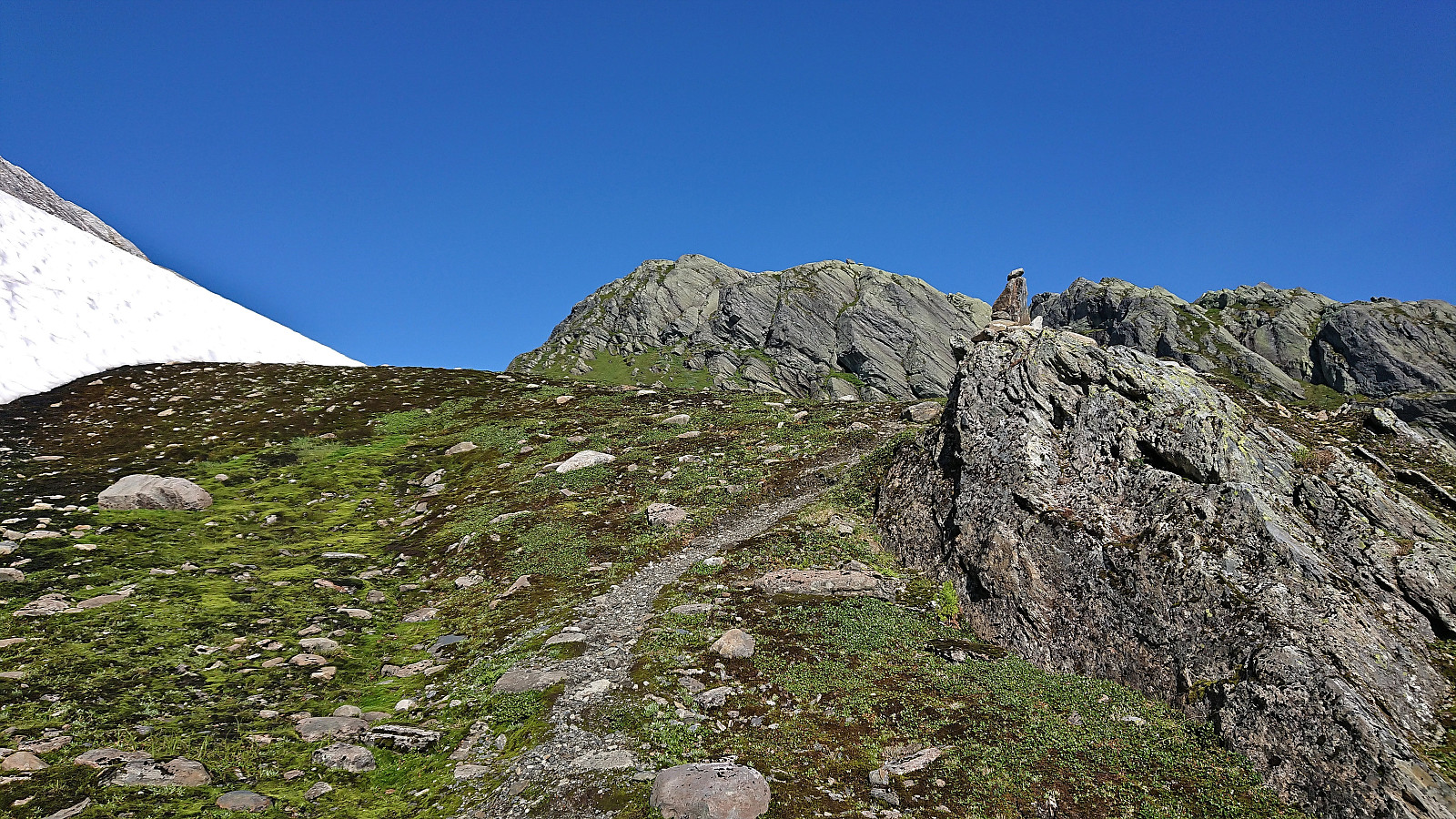
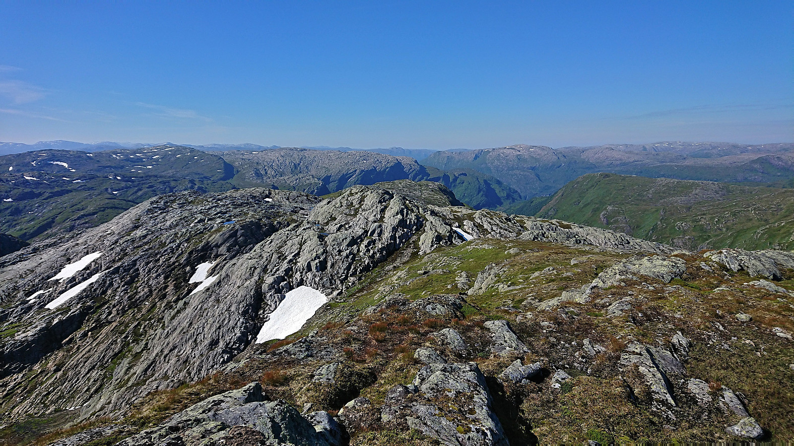
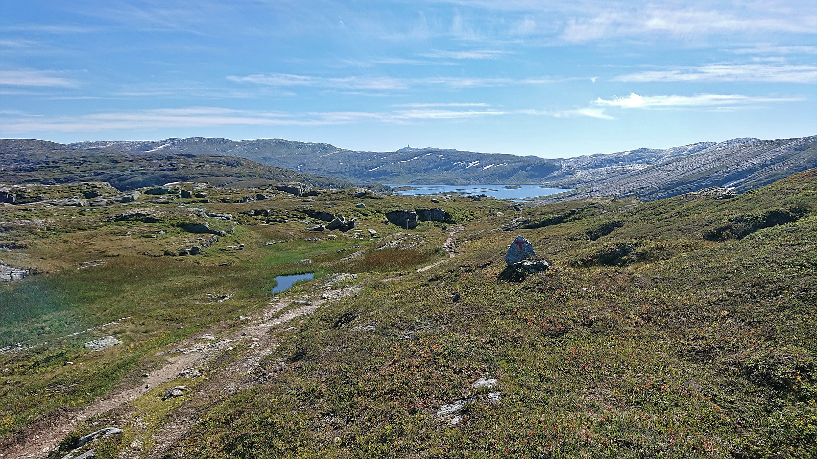
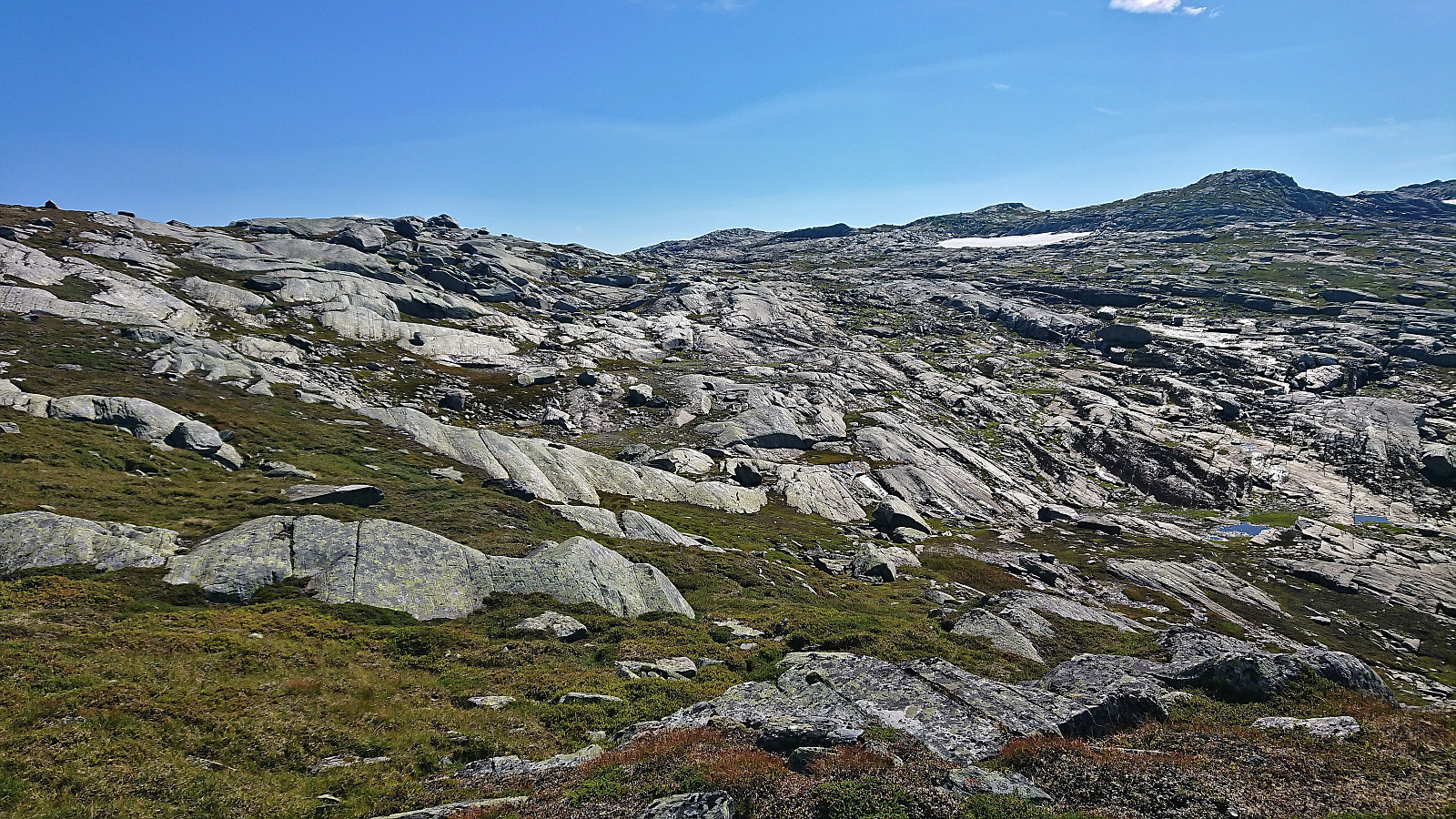
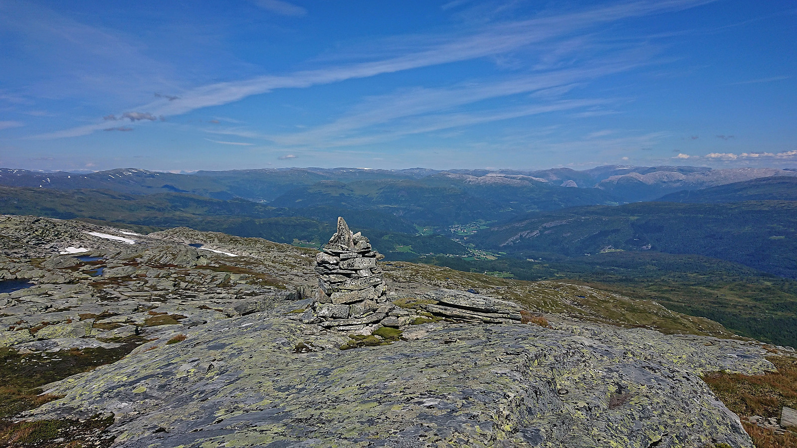
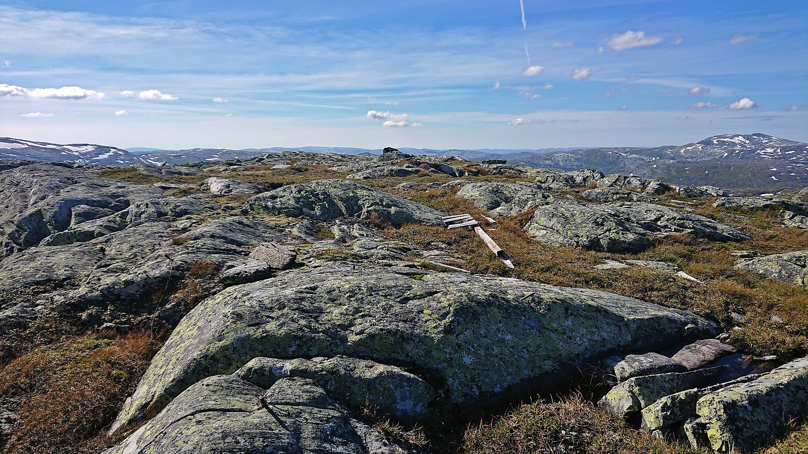
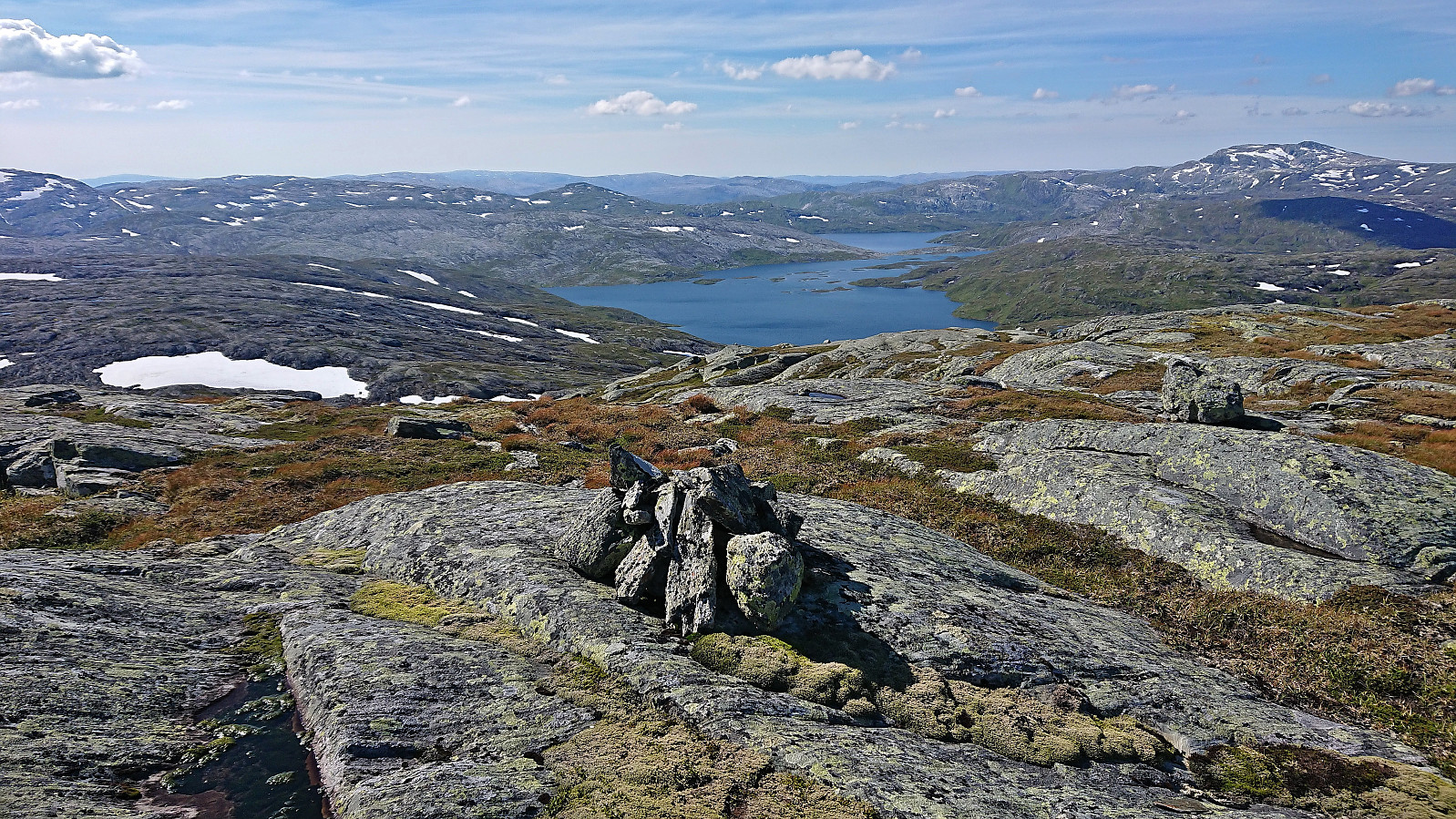
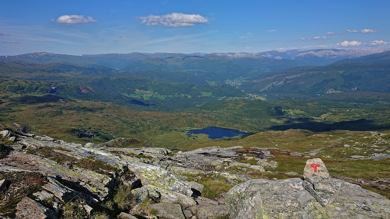
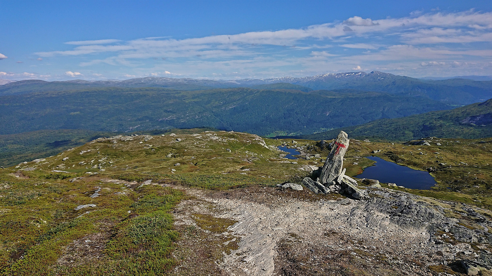
Given the relatively slow pace of the rest of the group, I concluded that I would have time for one more summit on my way to Afdal. I therefore once more left the group and continued east along the marked trail before turning south and heading off-trail towards the summit of Storebrekkuna. The terrain was pretty straightforward and the summit was reached without any issues.
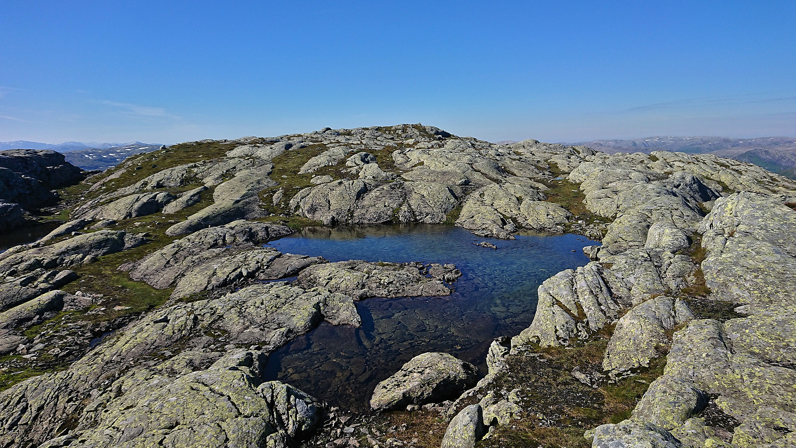
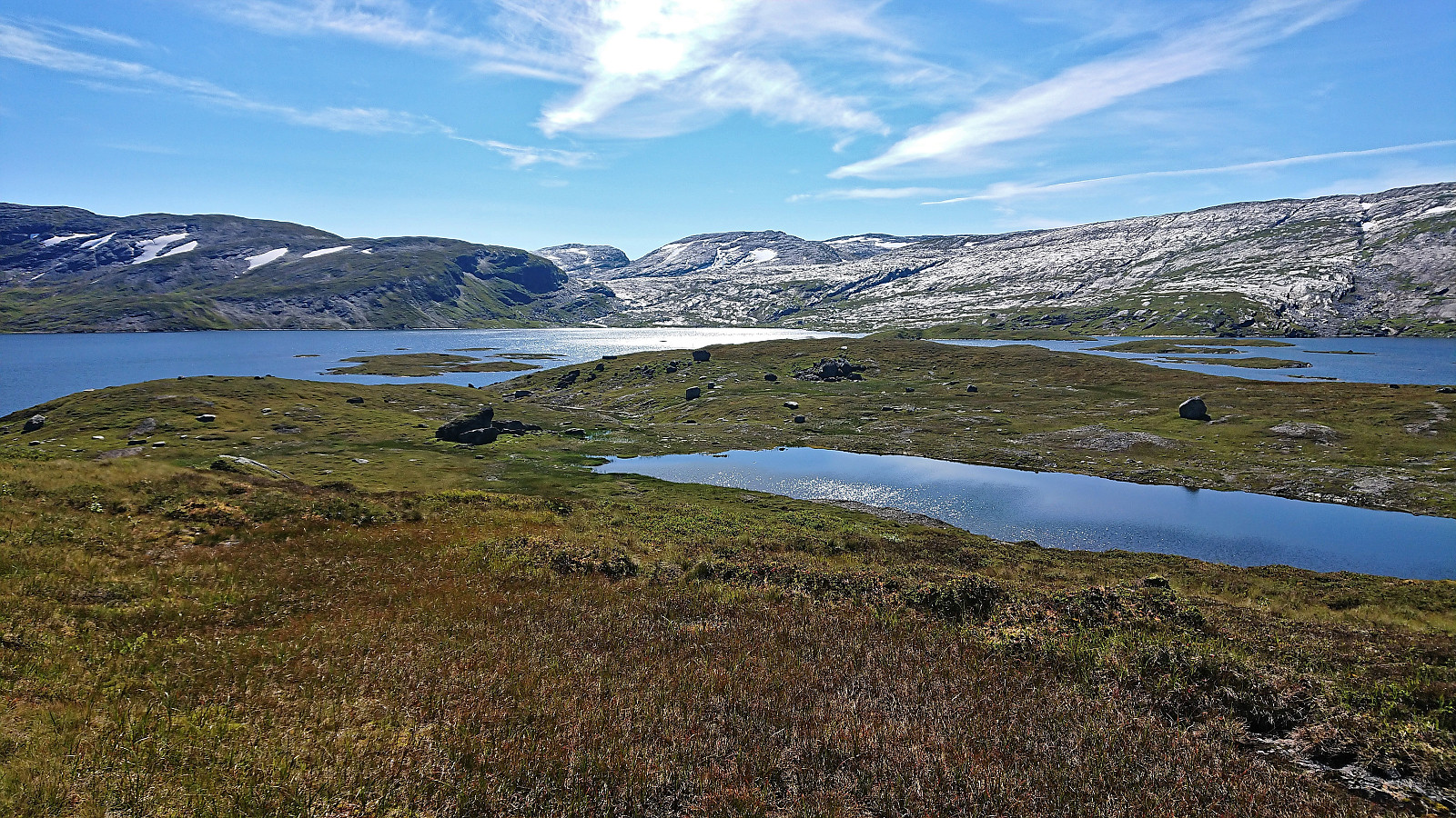
I however spotted two other potential summits. And while these were both most likely slightly lower, I decided to play it safe and visit both anyway. The upside was that I got even better views towards Lønahorgi from the southern one and back down towards Nedsta Piksvatnet and Stora Volavatnet from the western one. From Storebrekkuna I returned north to the marked trail, which I then proceeded to follow towards Afdal.
Soon I once again caught up with the rest of the group and from there on stayed with them until reaching the bus at Afdal. The main group however later split into smaller groups, partly due to one hiker having a fall and after that having to take it very slow. Part of the group therefore stayed behind to help out, while the rest of us continued the descent to fill up the first bus back to Voss (as we now had two smaller buses instead of the single large one, and one of them had to do two trips).
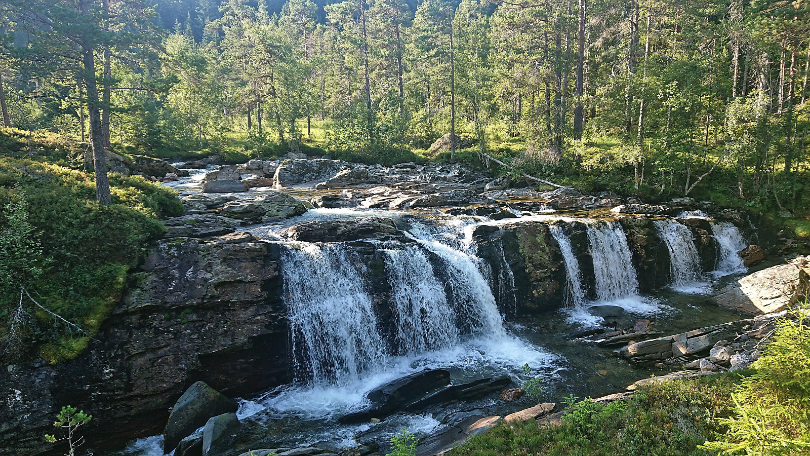
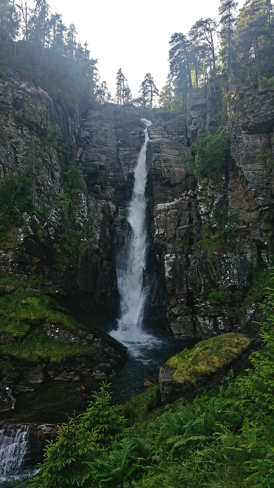
As we got to Preststølen the trail turned into a tractor road, which shortly returned to a nice trail following the river, with two beautiful waterfalls along the way, namely Breifossen and Afdalsfossen. (Note that at norgeskart.no Afdalsfossen is incorrectly named Breifossen.) Just above Afdal there was a short steep section with a rope for added safety, but one could easily descend without it. At Afdal the buses were already there waiting for us, and after filling up one of them we returned to Voss, thus concluding the joint hike. My trip was not yet over though and due to a sold-out train I had to wait almost 1.5 hours before getting on a train back to Bergen.
In summary, an exceptional hike that can be very highly recommended!
| Start date | 14.08.2022 10:35 (UTC+01:00 DST) |
| End date | 14.08.2022 18:17 (UTC+01:00 DST) |
| Total Time | 7h 41min |
| Moving Time | 6h 43min |
| Stopped Time | 0h 57min |
| Overall Average | 3.2km/h |
| Moving Average | 3.7km/h |
| Distance | 24.7km |
| Vertical meters | 1,117m |


User comments