
Daurmålsegga from Oma via Raudkleiv (05.08.2022)

Written by hbar (Harald Barsnes)

| Start point | Oma (19m) |
|---|---|
| Endpoint | Oma (19m) |
| Characteristic | Hillwalk |
| Duration | 3h 42min |
| Distance | 13.2km |
| Vertical meters | 823m |
| GPS |
|
| Ascents | Daurmålsegga (806m) | 05.08.2022 |
|---|---|---|
| Visits of other PBEs | Halvgjenge p-plass (220m) | 05.08.2022 |
| Raudkleiv (465m) | 05.08.2022 | |
| Daurmålsegga utsiktspunkt (806m) | 05.08.2022 11:10 |
Daurmålsegga from Oma via Raudkleiv
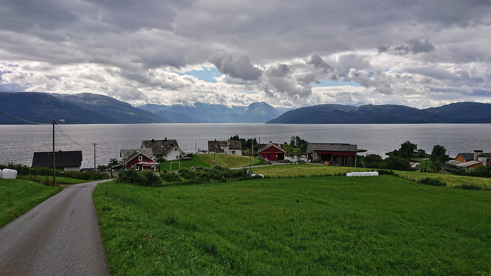
After two unsuccessful attempts at joining a DNT-organized hike across Daurmålsegga from Bolstad to Mundheimsdalen, once cancelled due to bad weather and once COVID restrictions got in the way, I decided to not wait any longer and go ahead on my own. Following the whole ridge would however not be possible and I would instead simply start from Oma and return the same way.
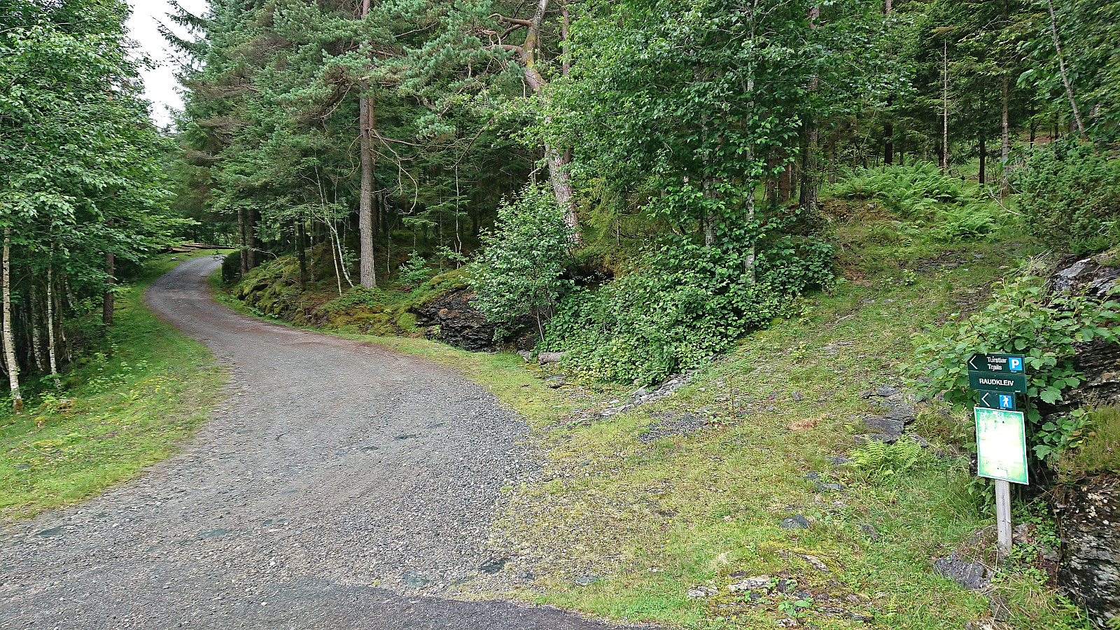
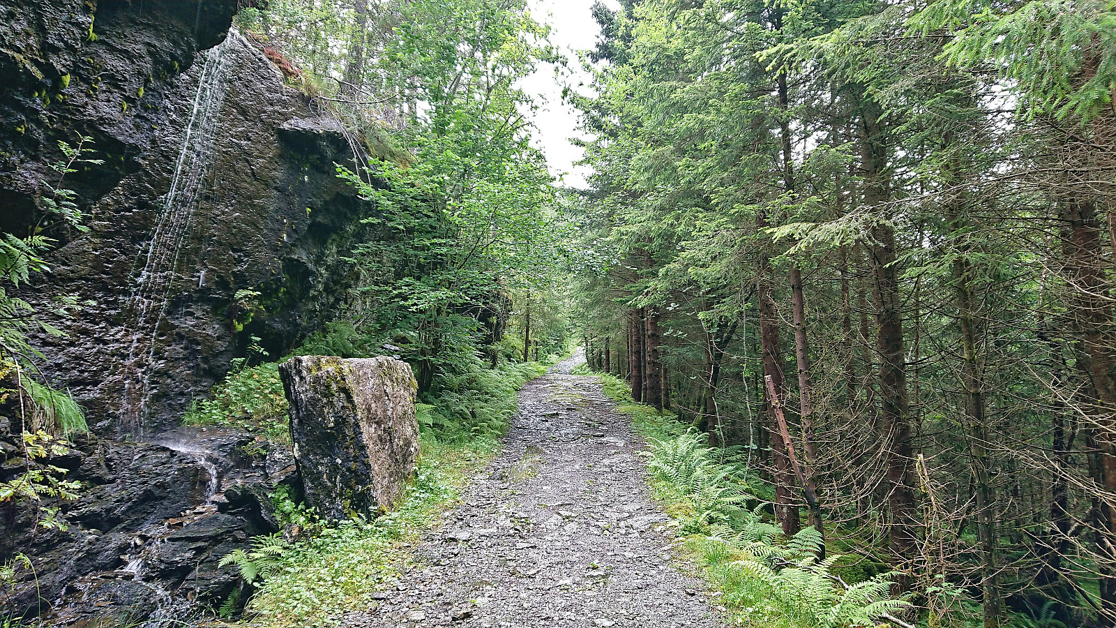
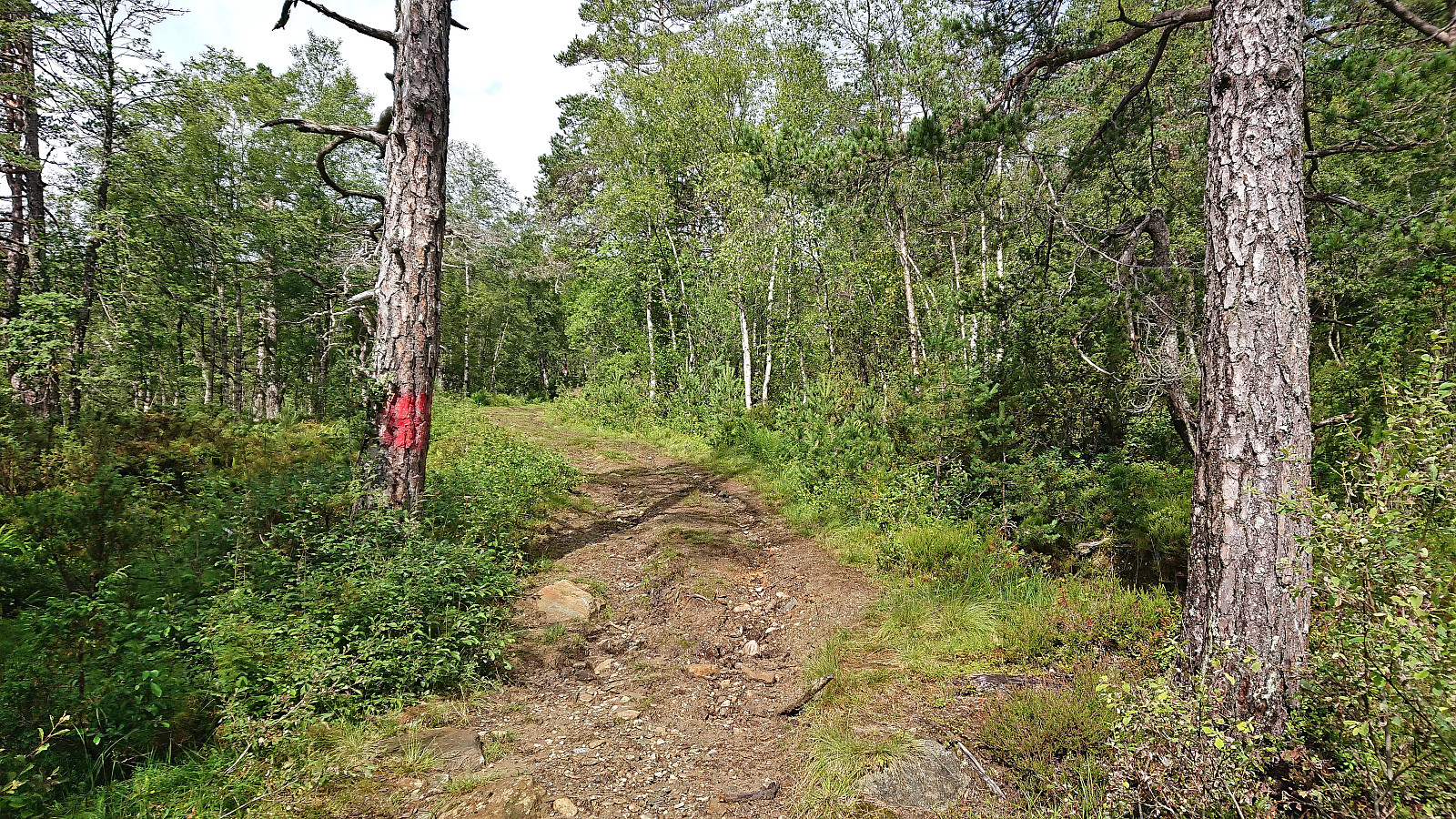
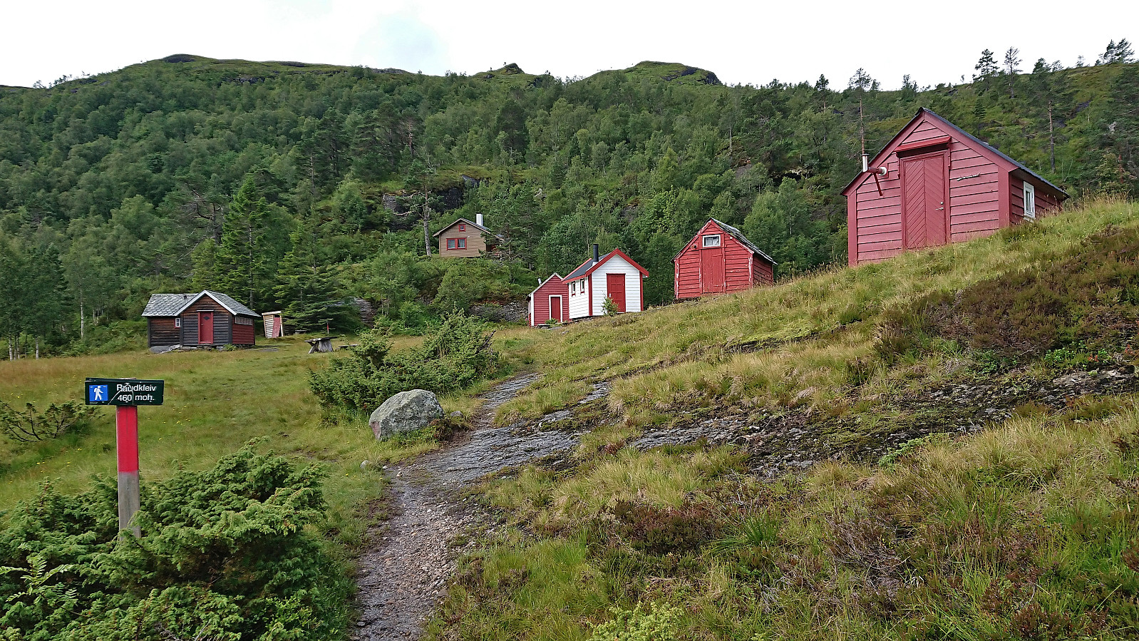
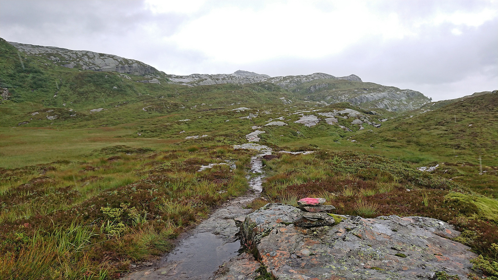
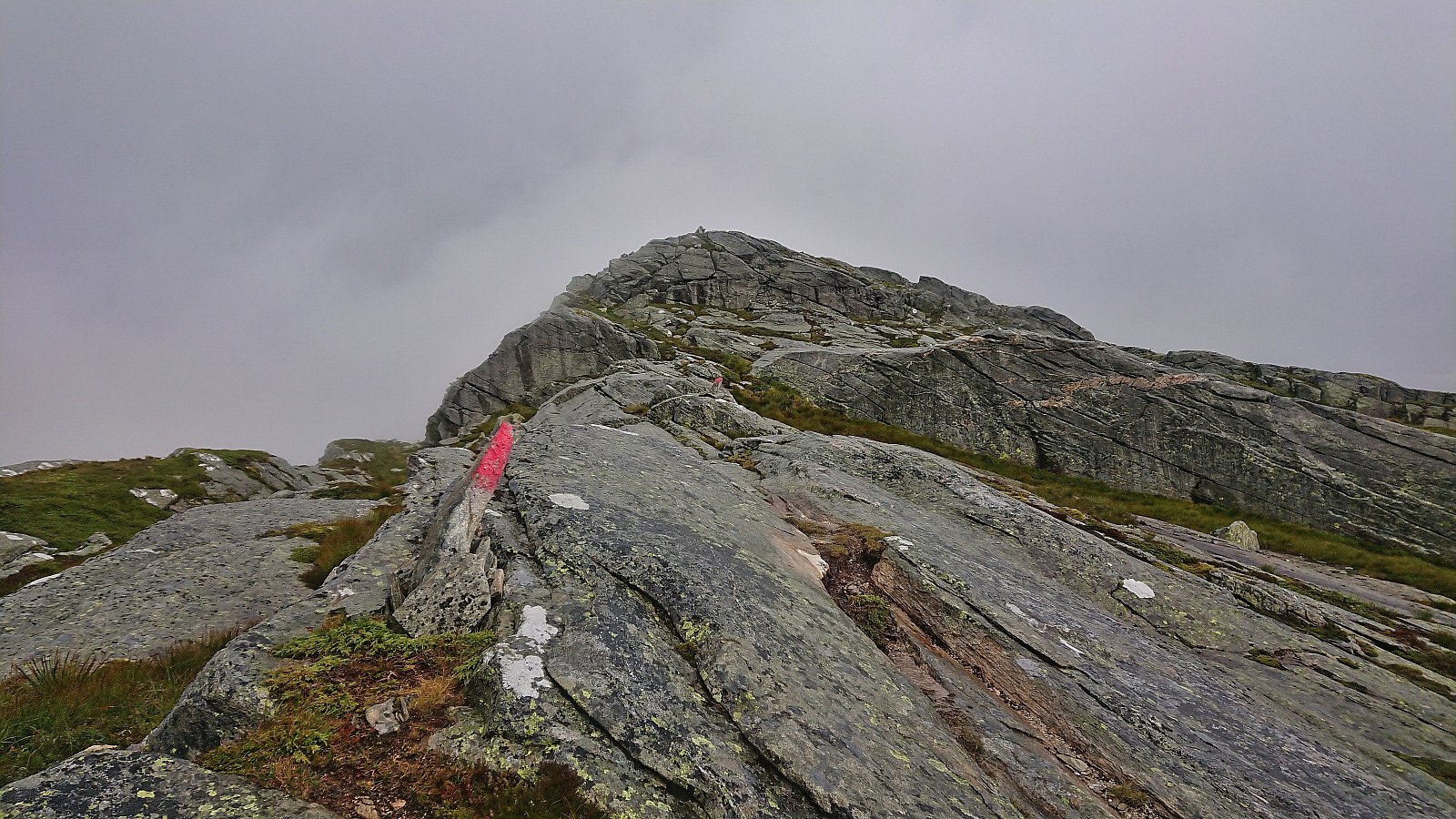
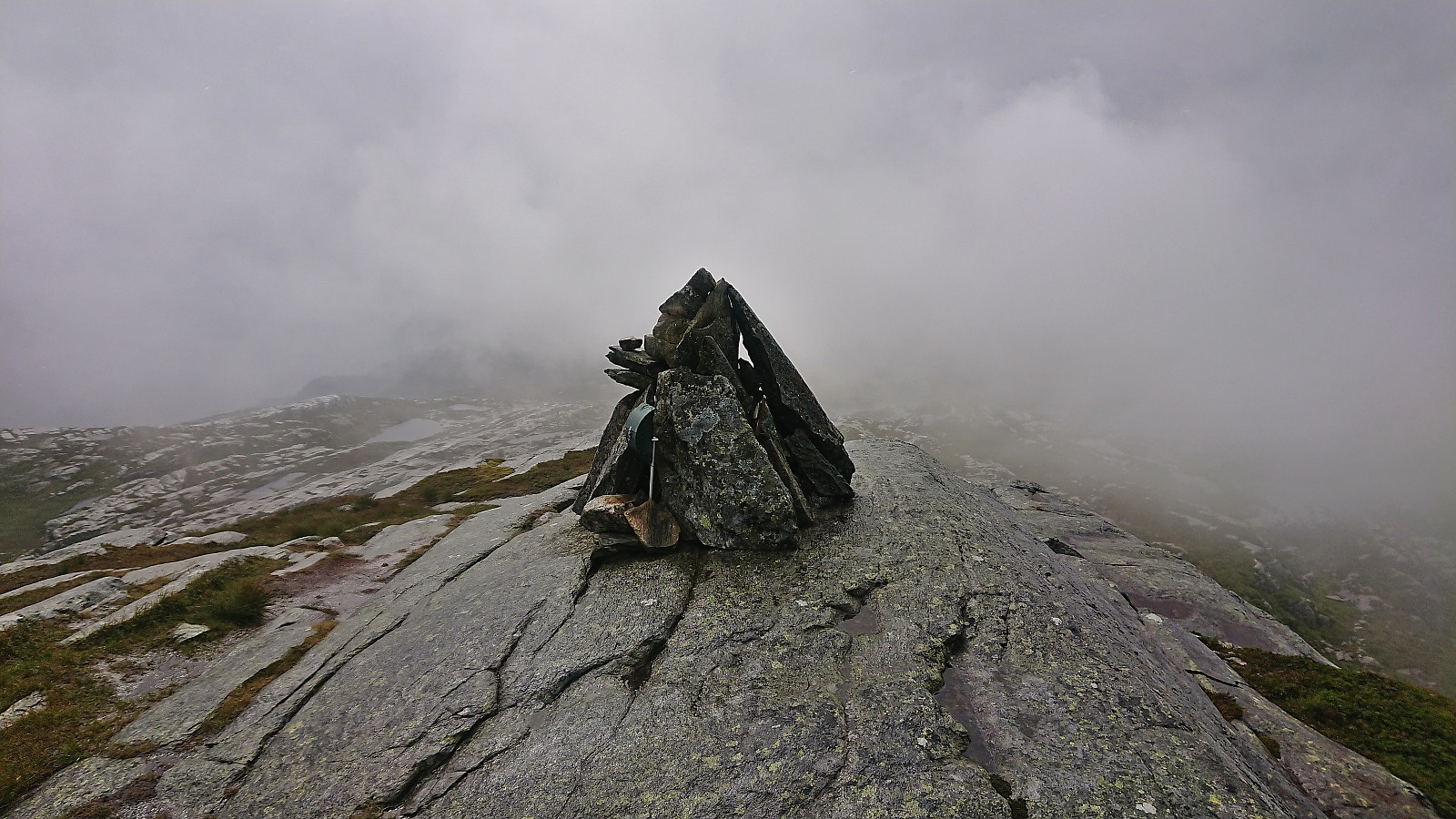
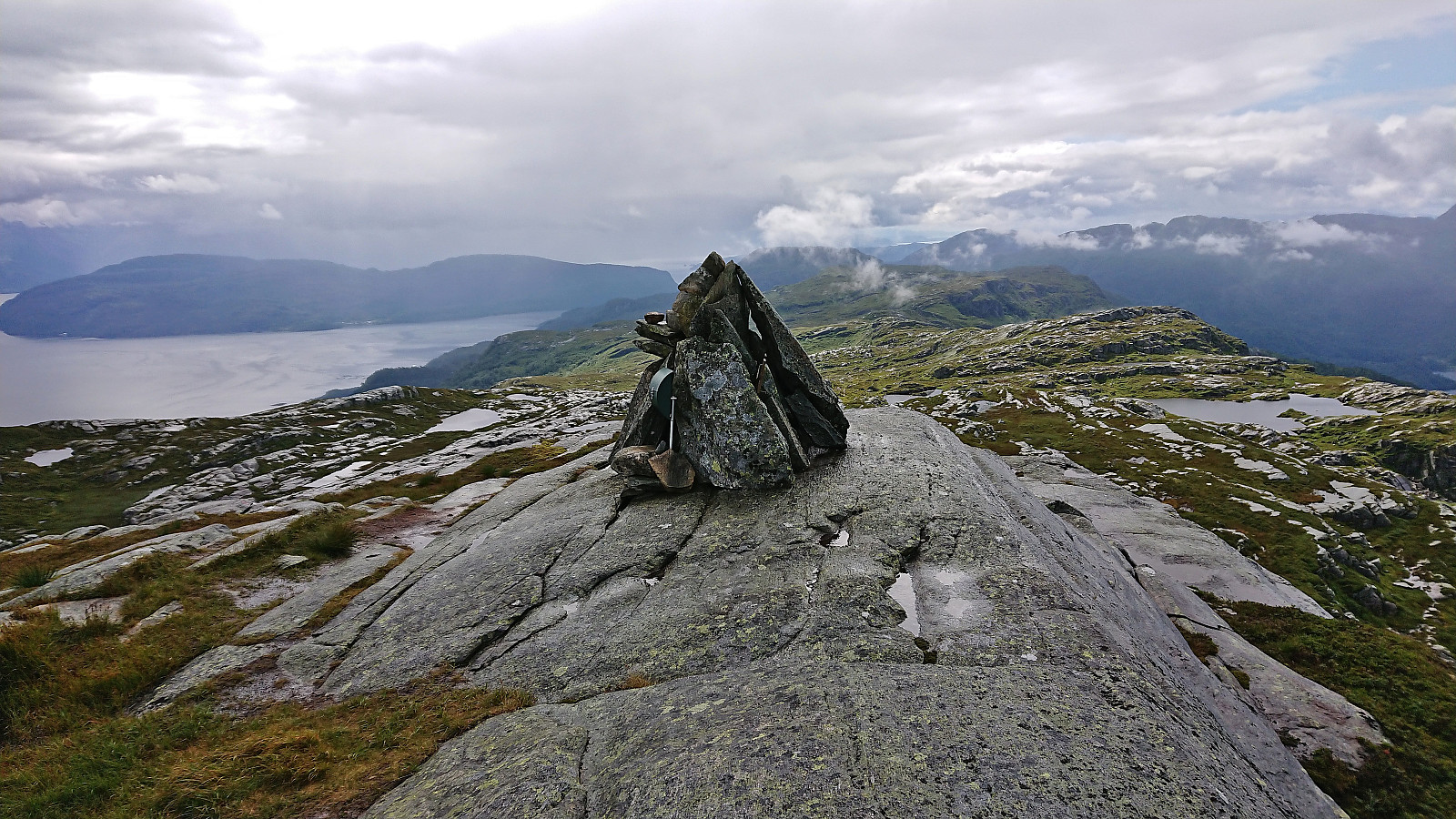
I started by taking the bus to Oma and following the road up to the trailhead at Halvgjenge p-plass, from where I followed the standard marked route via Raudkleiv to the summit of Daurmålsegga. Tractor road almost all the way to Raudkleiv and an easy to follow trail from there all the way to the top, with only a small bit of easy scrambling to reach the summit cairn.
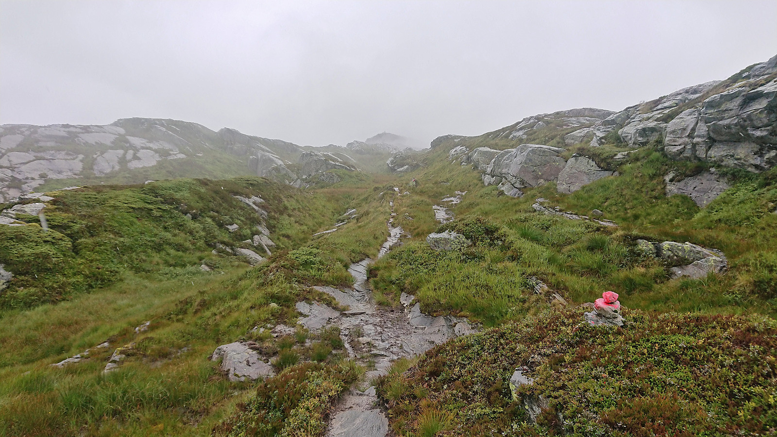
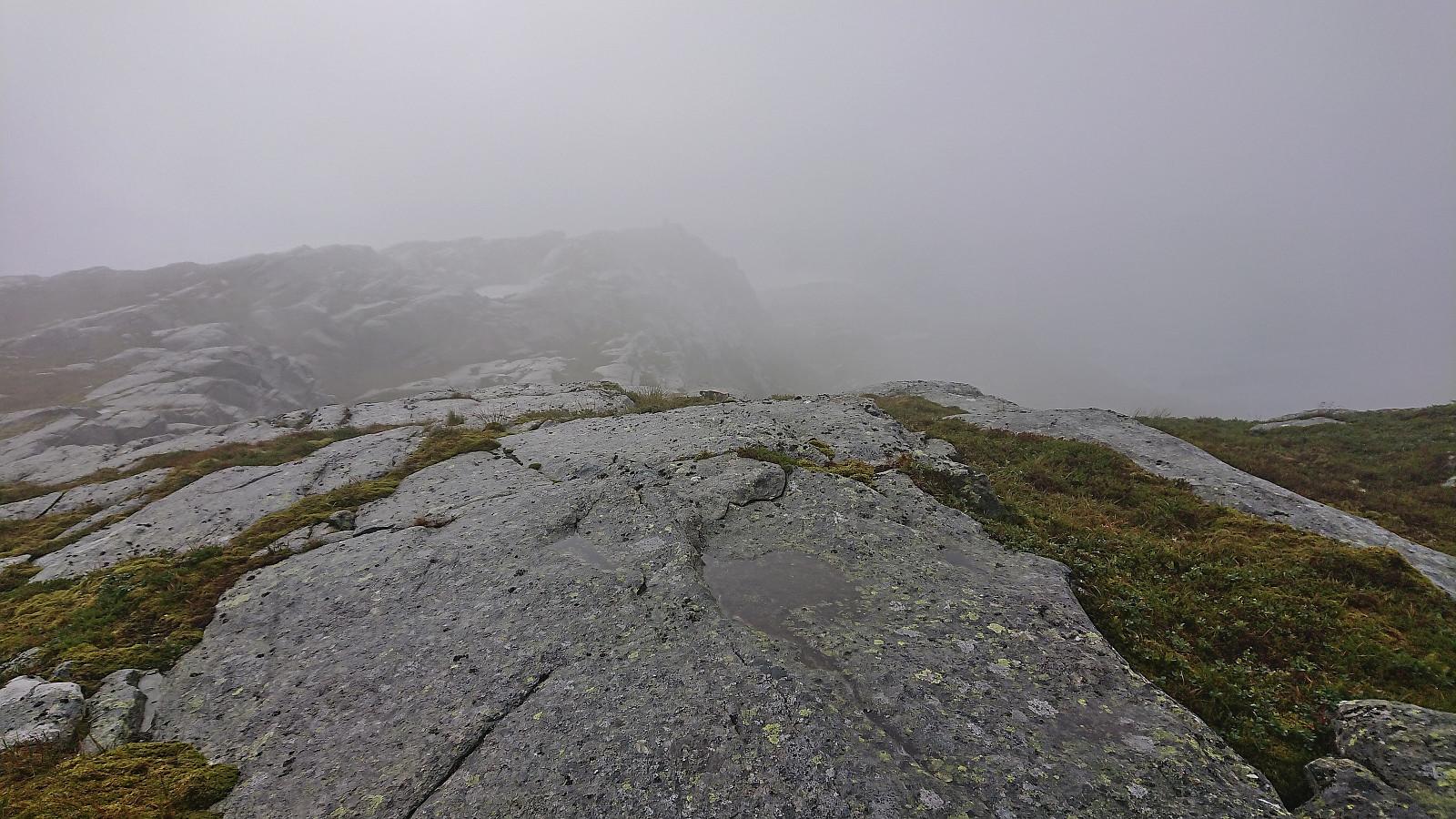
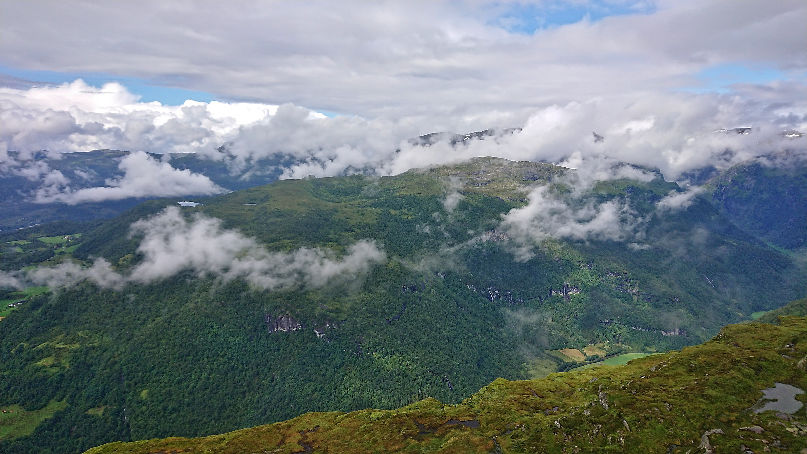
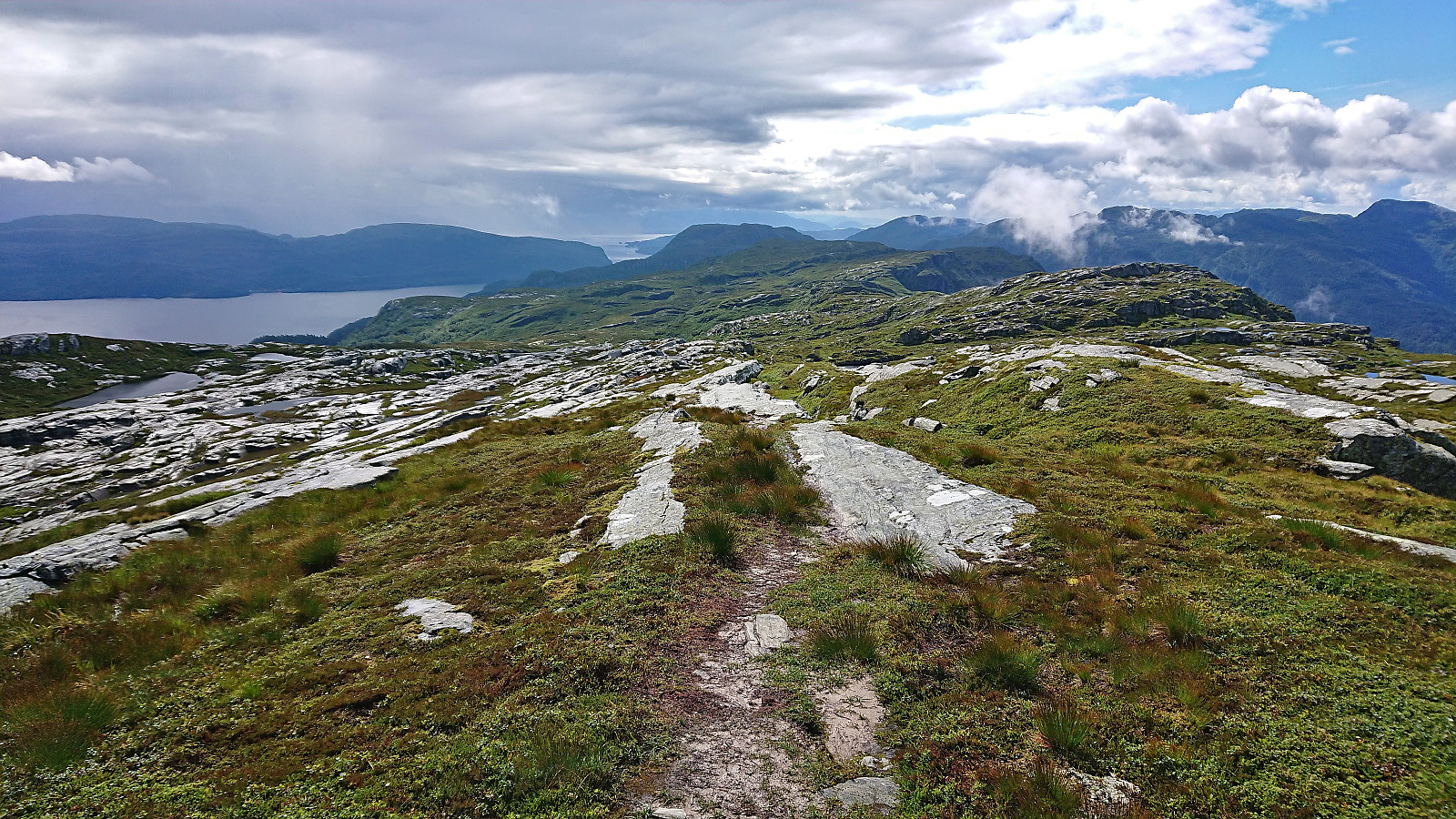
As got to the summit a dense fog had appeared and thus there were next to no views. I decided to wait a bit in the hope that it would clear up and reveal at least some of the views. The time was spent visiting an alternative summit about 200 meters north of the cairn which seemed to be of almost the same height. Difficult to be sure even when using hoydedata.no, so probably best to visit both to be on the safe side.
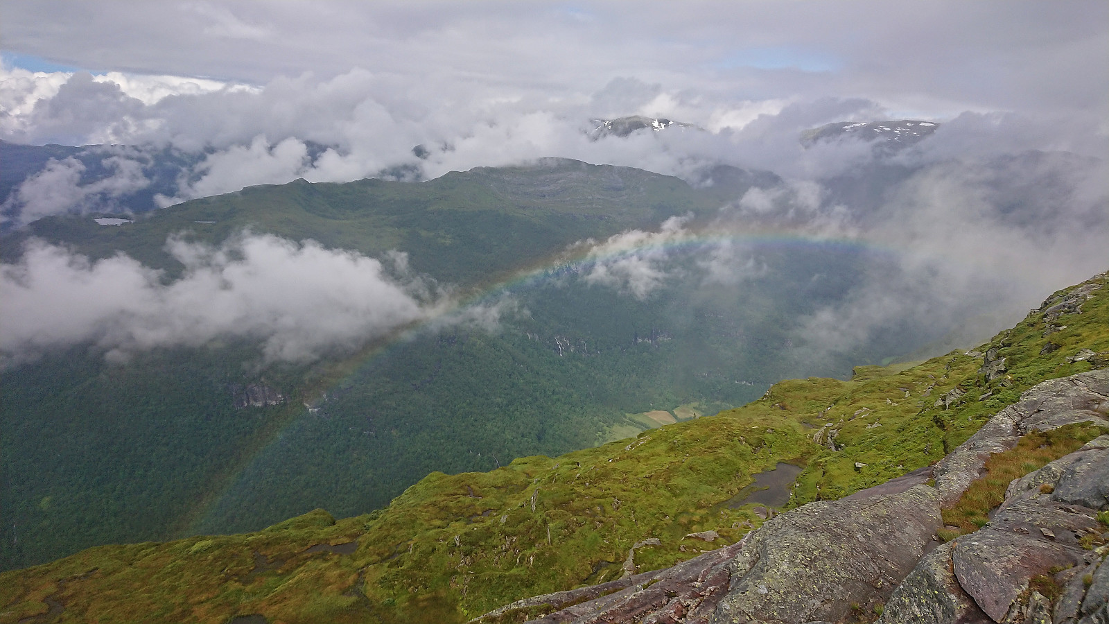
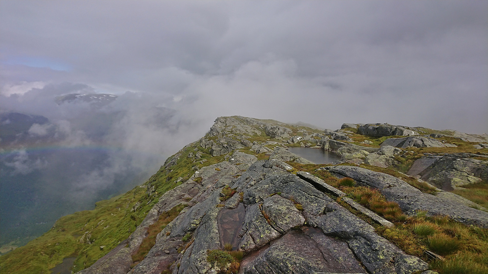
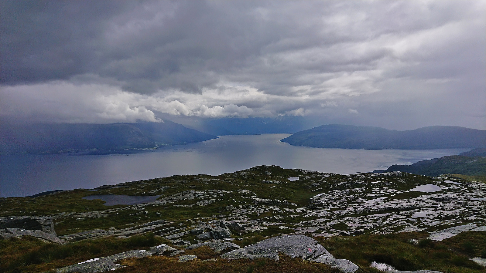
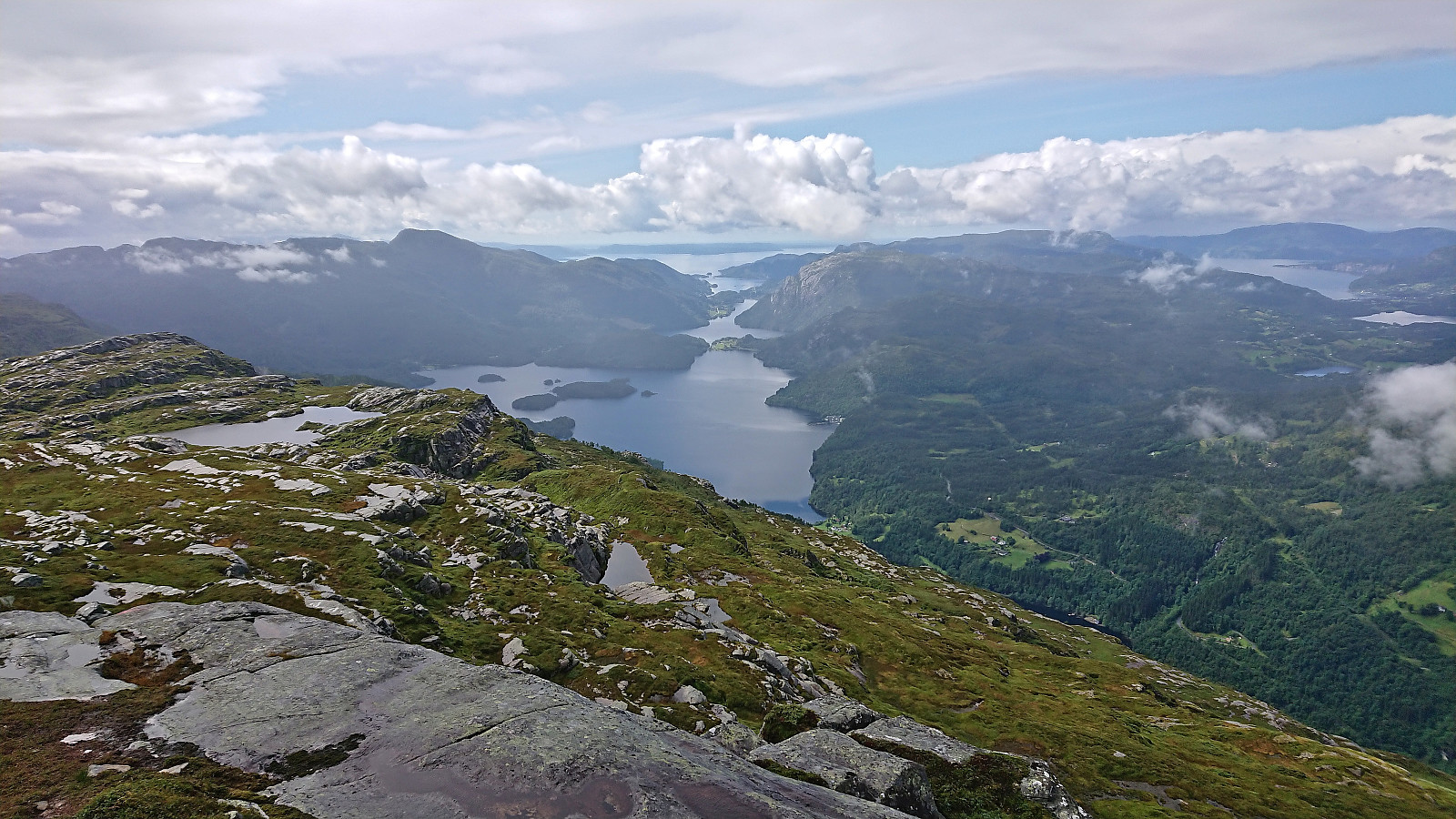
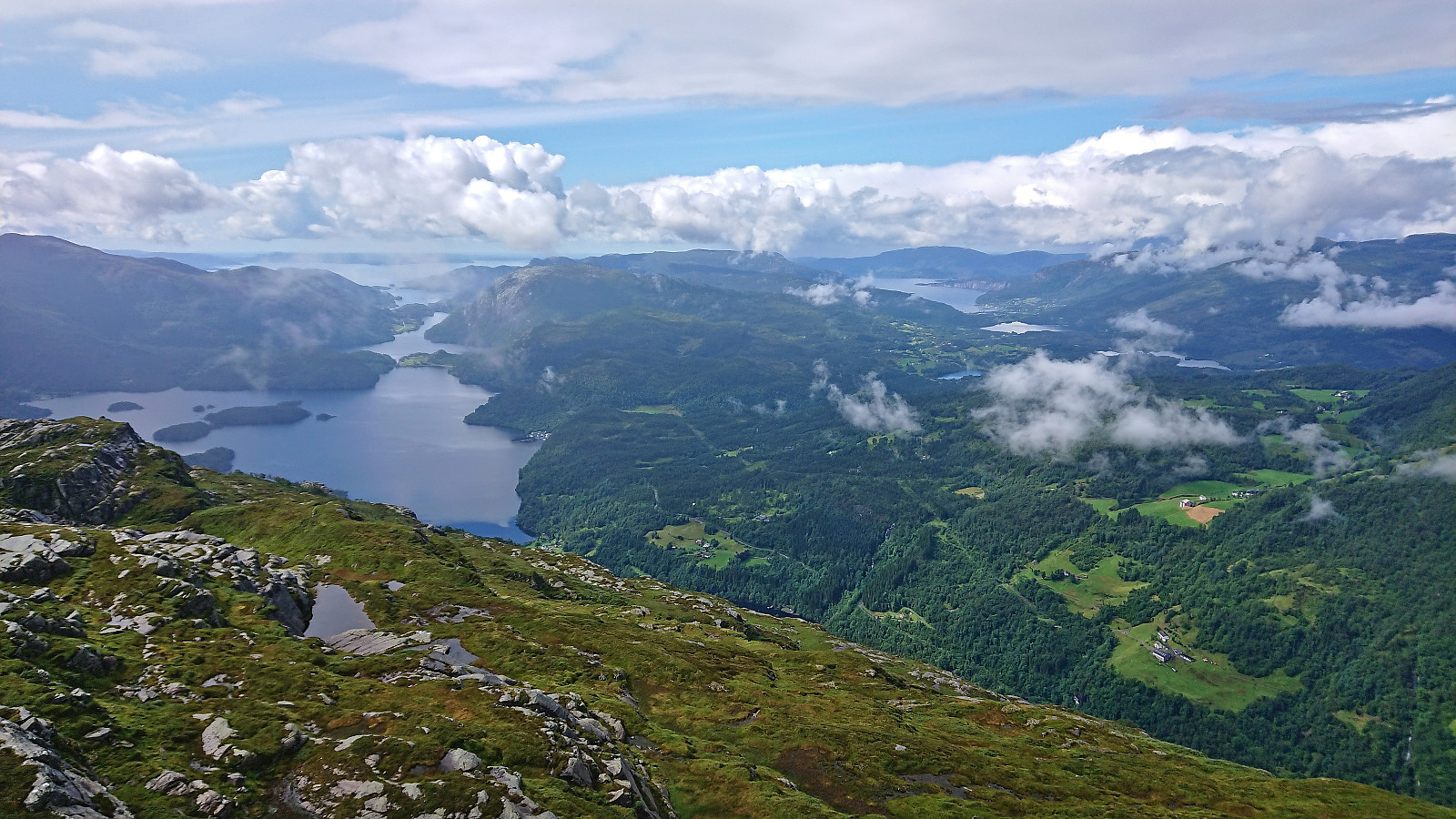
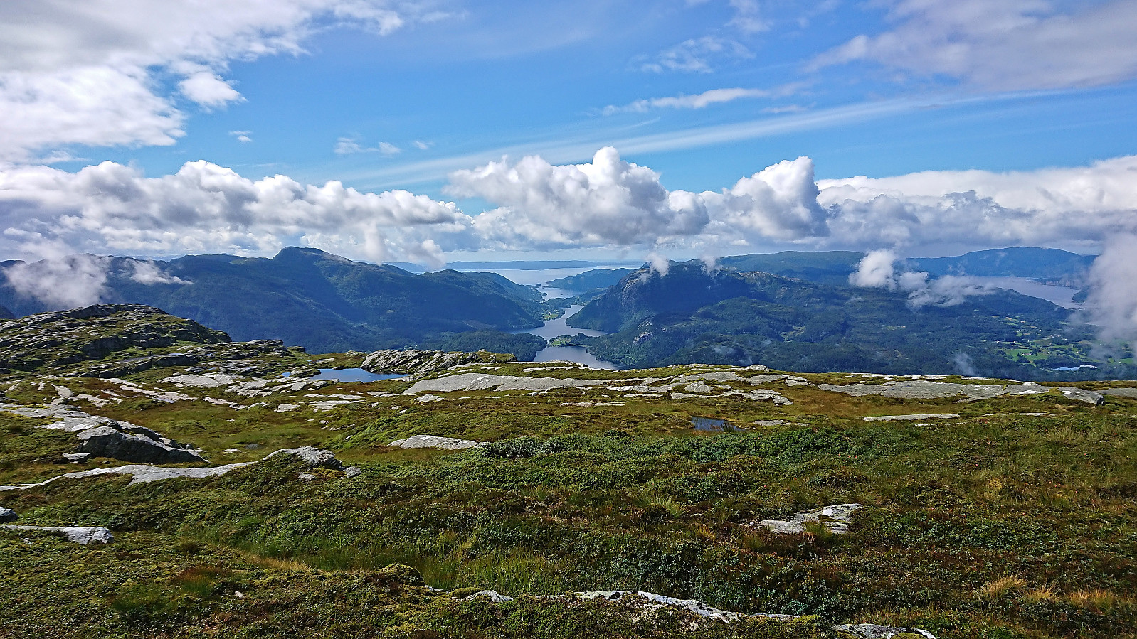
Upon returning to the cairn the fog had started to clear and I could enjoy at least part of the expected spectacular views before starting my descent. During the descent there was even a bit of sunshine, which I took advantage of by having a short lunch break at Raudkleiv. It would not last though, and started raining again before I made it back down to the main road.
After a short bus ride, I was ready for a quick visit of Storåsen.

| Start date | 05.08.2022 11:06 (UTC+01:00 DST) |
| End date | 05.08.2022 14:49 (UTC+01:00 DST) |
| Total Time | 3h 42min |
| Moving Time | 3h 10min |
| Stopped Time | 0h 32min |
| Overall Average | 3.5km/h |
| Moving Average | 4.2km/h |
| Distance | 13.2km |
| Vertical meters | 823m |


User comments