
Mørkadalsfjellet (28.07.2022)

Geschrieben von hbar (Harald Barsnes)

| Startpunkt | Mørkadalsfjellet parkering (17m) |
|---|---|
| Endpunkt | Mørkadalsfjellet parkering (17m) |
| Tourcharakter | Bergtour |
| Tourlänge | 1h 01min |
| Entfernung | 3,7km |
| Höhenmeter | 137m |
| GPS |
|
| Besteigungen | Mørkadalsfjellet (103m) | 28.07.2022 |
|---|---|---|
| Besuche anderer PBE | Mørkadalsfjellet parkering (18m) | 28.07.2022 |
Mørkadalsfjellet
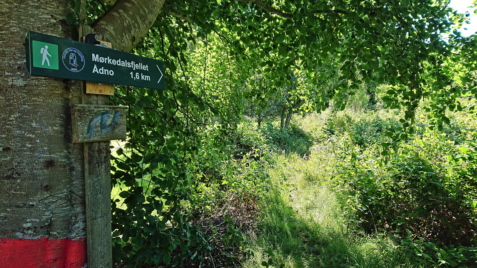
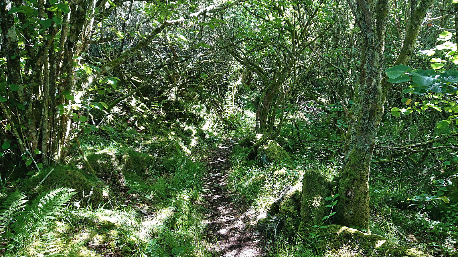
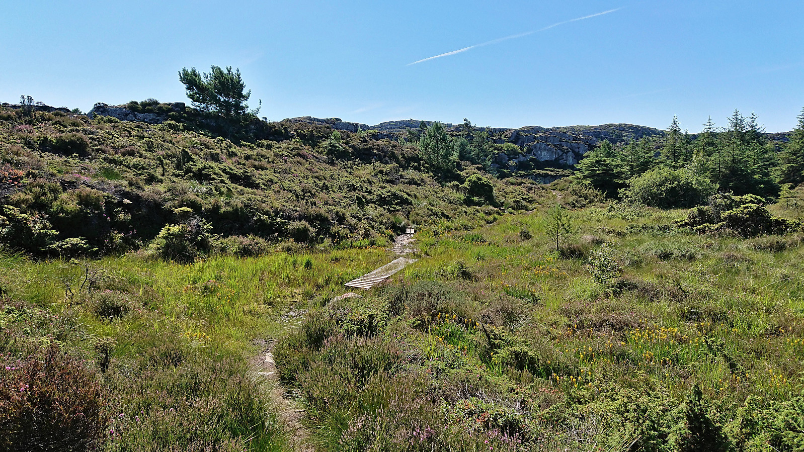
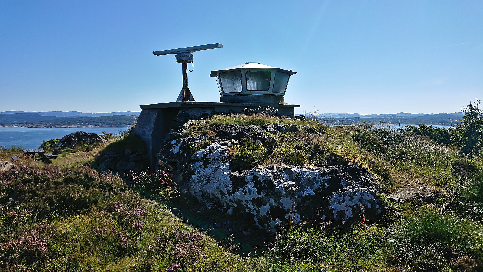
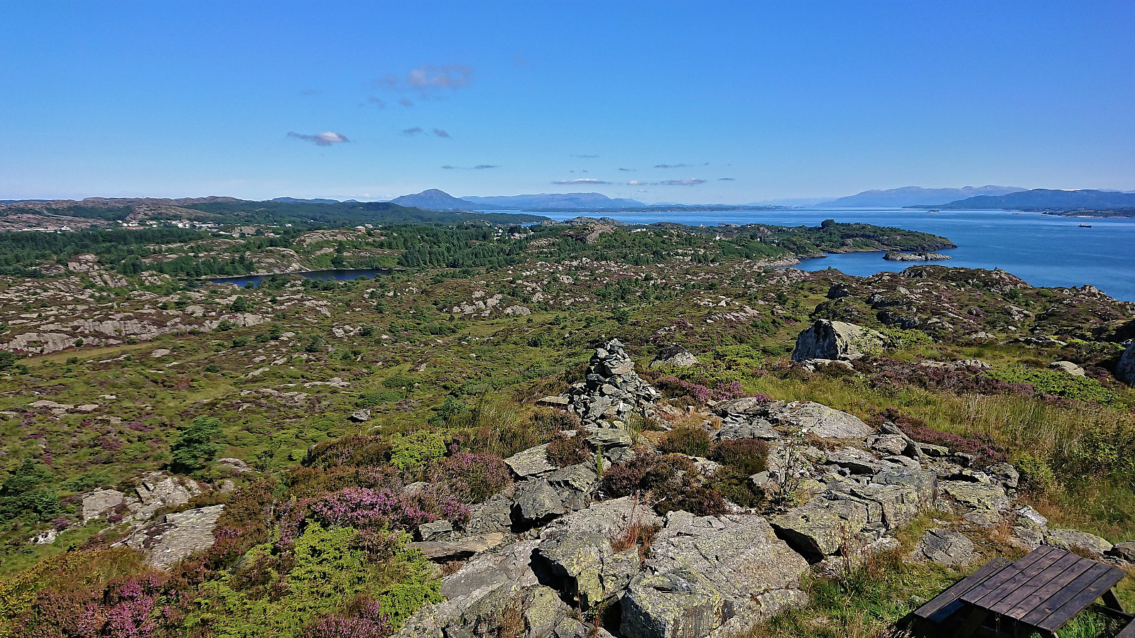
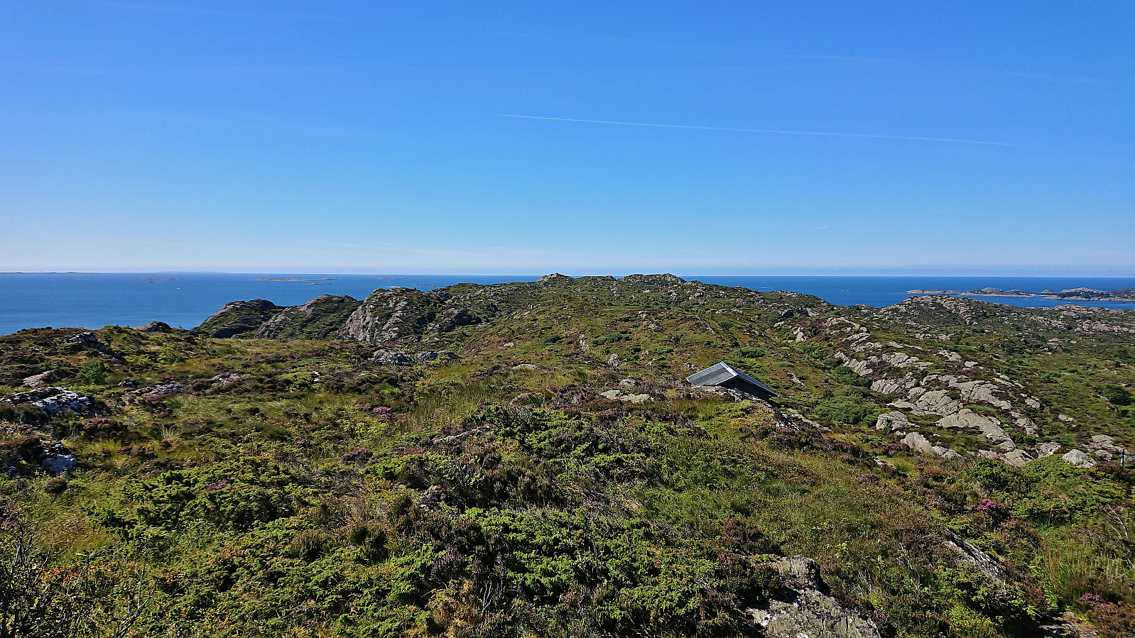
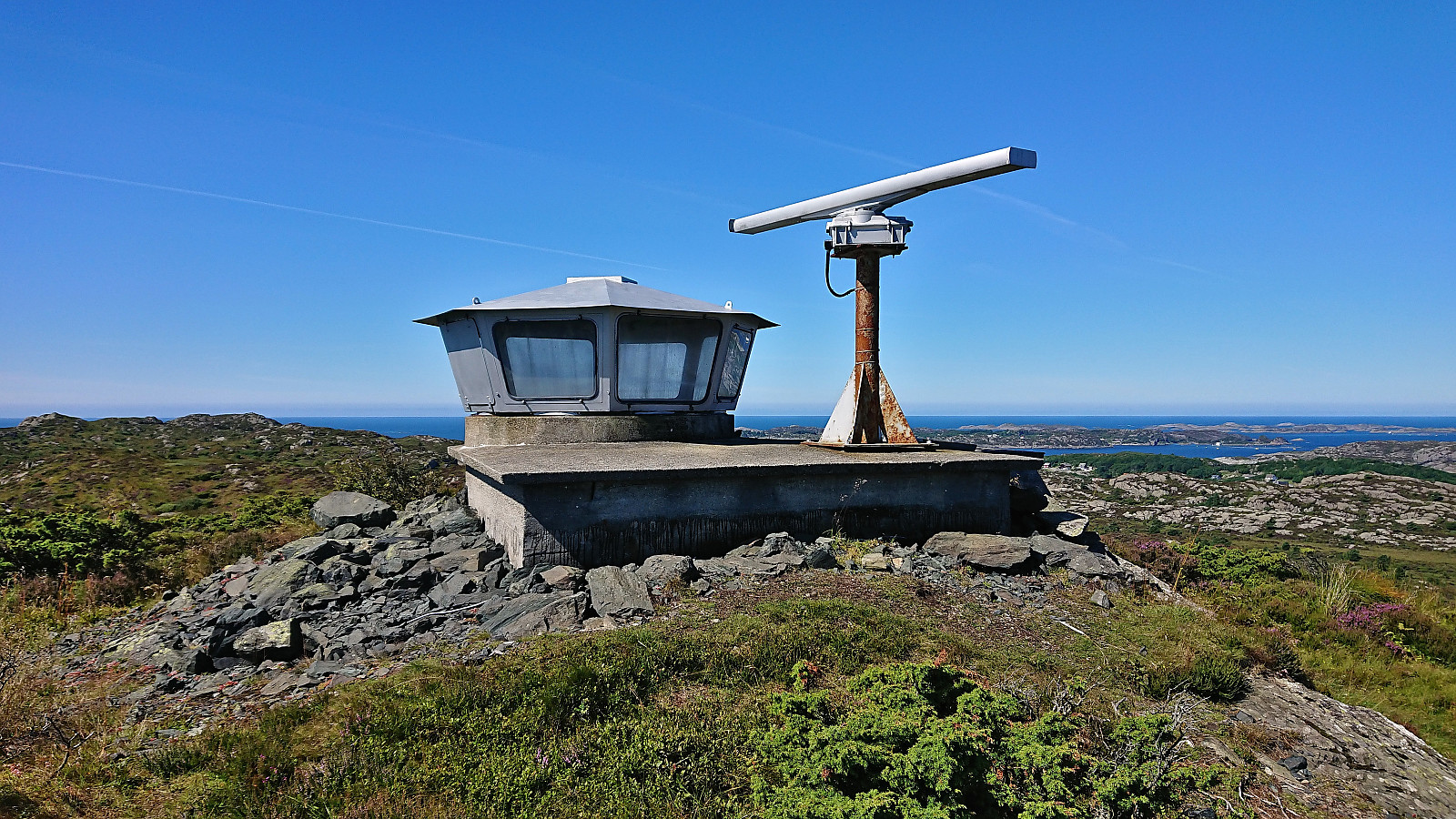
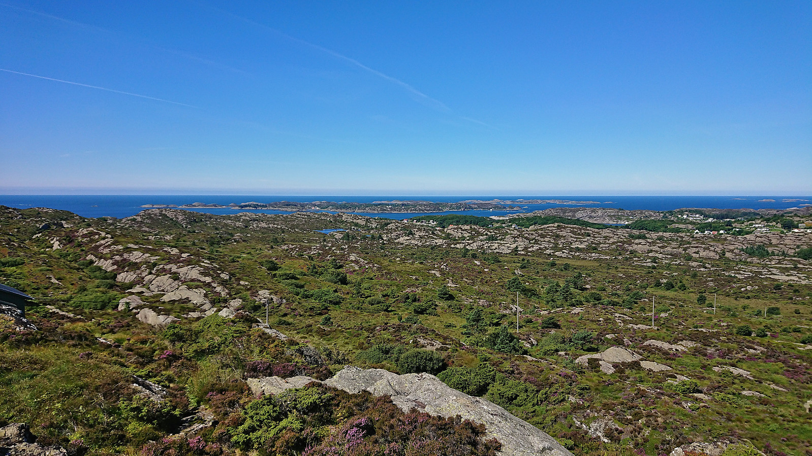
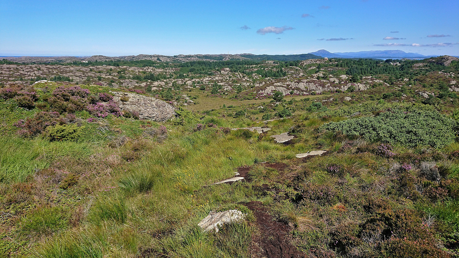
After leaving my bike behind at the marked trailhead, I continued on foot along the trail to Mørkadalsfjellet. First a short stretch through a forest and along a stone fence, before the terrain opened up and the summit could be spotted in the distance. Plenty of wet and muddy sections along the way, but thanks to lots of wooden objects of different types and sizes covering the worst parts of the trail I managed to stay relatively dry and mud-free even though I was only wearing sneakers. The summit provided excellent panoramic views, explaining why it previously had been used as an observation station for the Norwegian coast guard. After a couple of pictures I returned along the same route.

| Startzeitpunkt | 28.07.2022 11:47 (UTC+01:00 SZ) |
| Endzeitpunkt | 28.07.2022 12:49 (UTC+01:00 SZ) |
| Gesamtzeit | 1h 01min |
| Zeit in Bewegung | 1h 00min |
| Pausenzeit | 0h 1min |
| Gesamtschnitt | 3,6km/h |
| Bewegungsschnitt | 3,7km/h |
| Entfernung | 3,7km |
| Höhenmeter | 136m |


Benutzerkommentare