
Vetlevasseggi and Torrisskarfjellet (21.07.2022)

Written by hbar (Harald Barsnes)

| Start point | Storavatnet (714m) |
|---|---|
| Endpoint | Storavatnet (714m) |
| Characteristic | Hillwalk |
| Duration | 2h 55min |
| Distance | 7.6km |
| Vertical meters | 558m |
| GPS |
|
| Ascents | Torrisskarfjellet (1,001m) | 21.07.2022 |
|---|---|---|
| Vetlevasseggi (982m) | 21.07.2022 |
Vetlevasseggi and Torrisskarfjellet
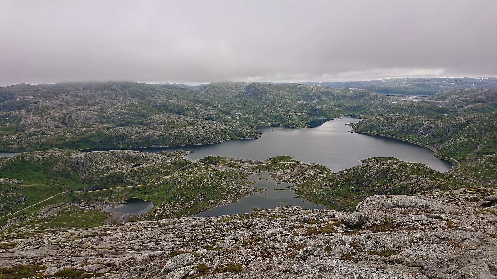

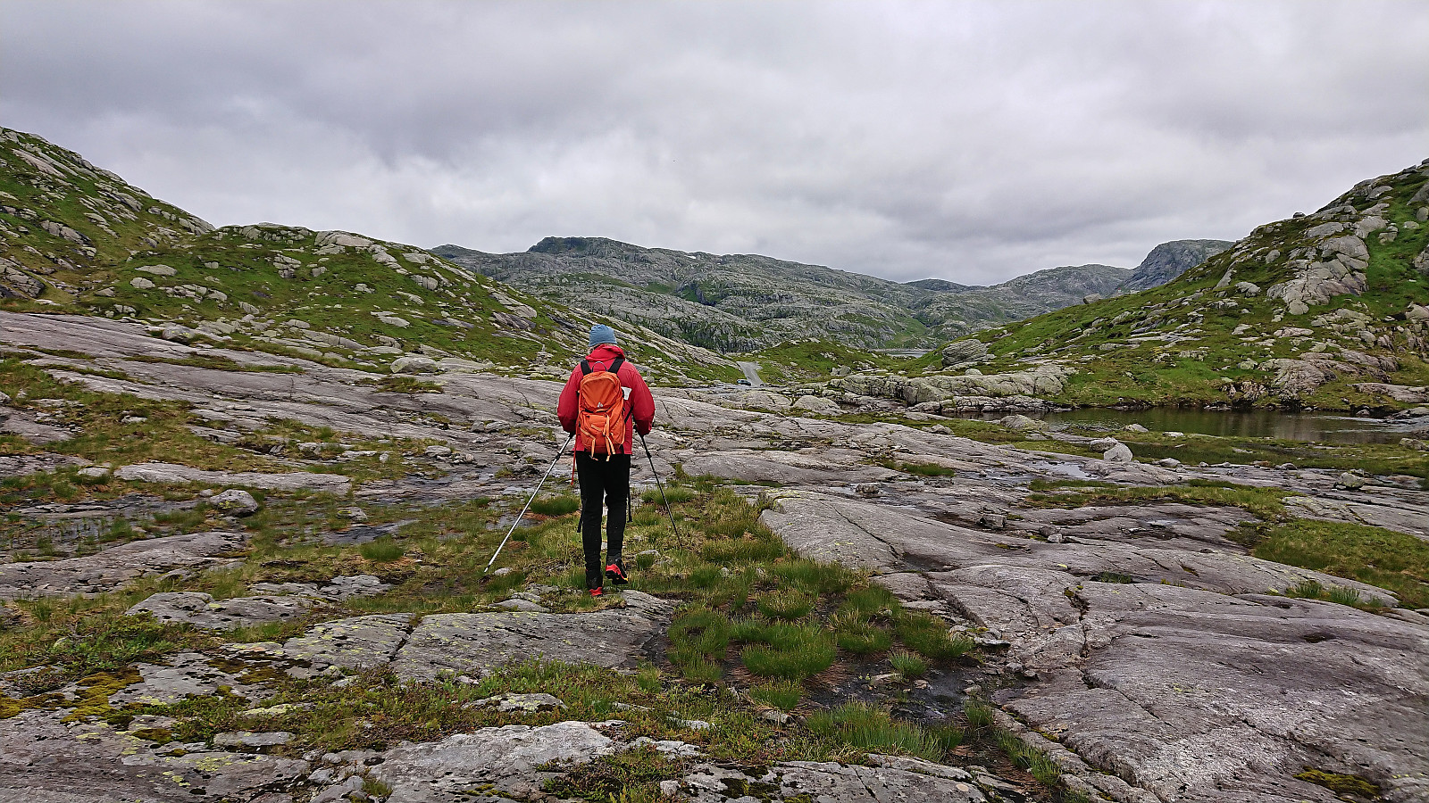
A return to Storavatnet towards the end of the long gravel road up from the south end of Masfjordtunnelen. This time, me and petter (Petter Bjørstad) were focusing on summits on the south side of the lake. We parked next to the road at one of the marked trailheads for Skavlabu at the southern tip of Storavatnet. Here there was room for one car. There was however lots of parking options just before this location as well.
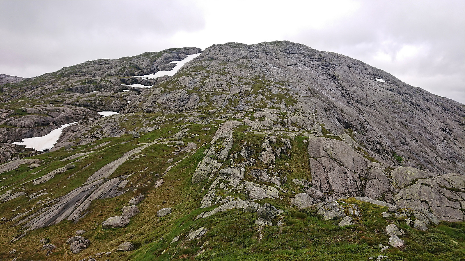
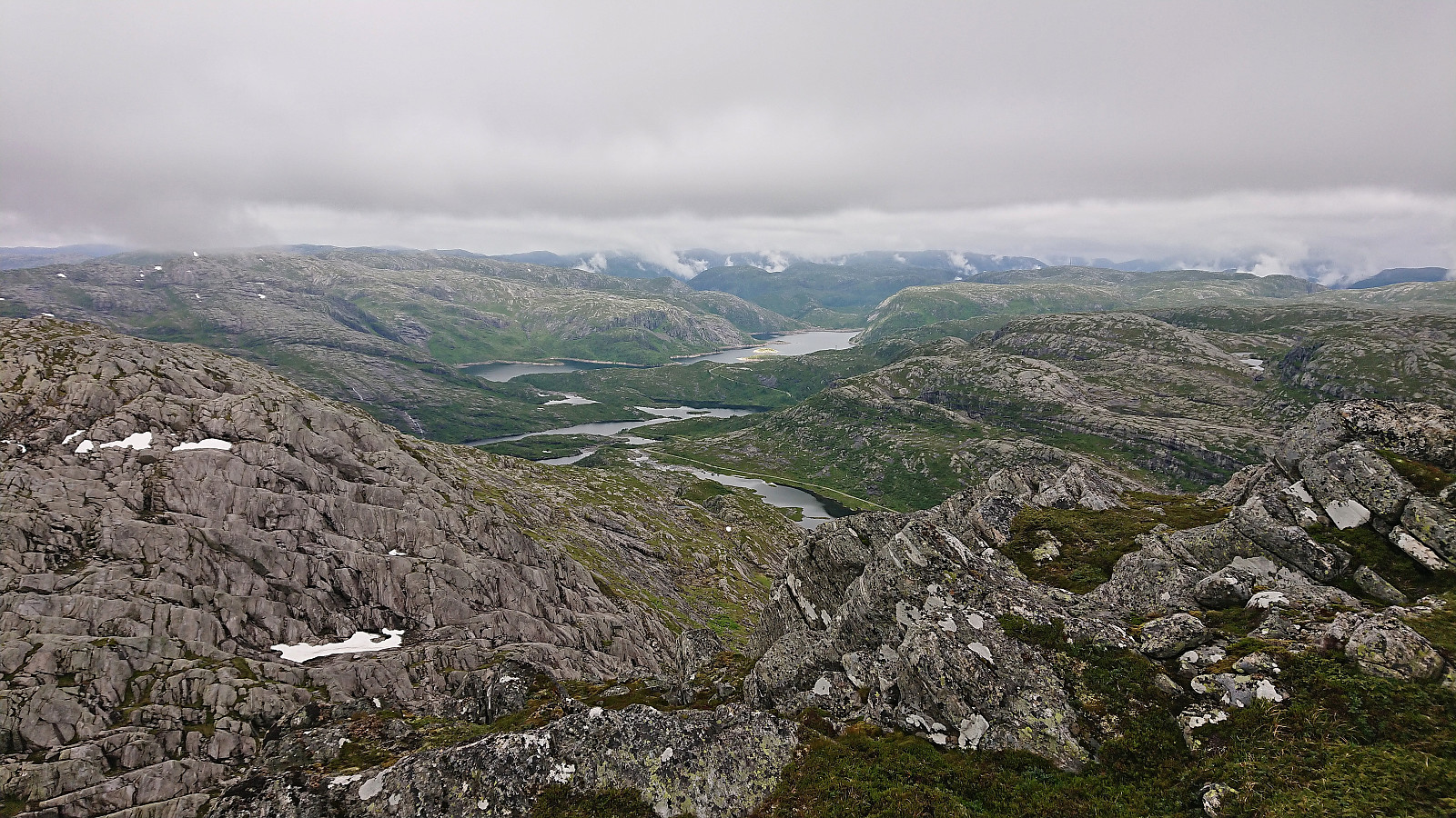
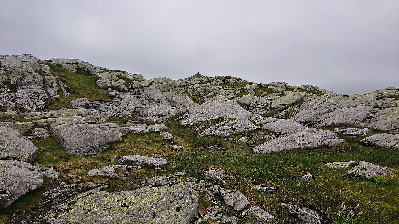
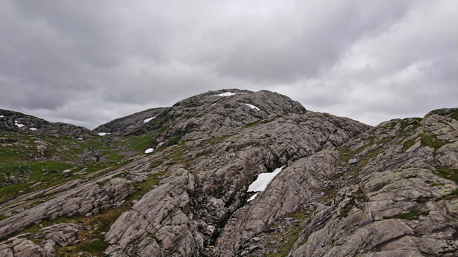
Our first goal was Vetlevasseggi, hence we immediately ditched the marked trail and headed off-trail in the direction of the summit. A steep start of the day but otherwise straightforward and we soon arrived the summit without any issues. The summit area consisted of small hills of similar heights, with the northeastern one being ever so slightly higher. Nice views from the summit, although quite reduced by the low-hanging clouds.
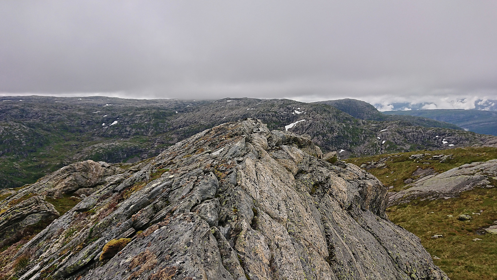
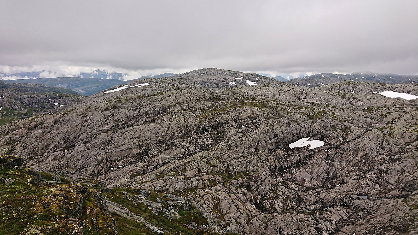
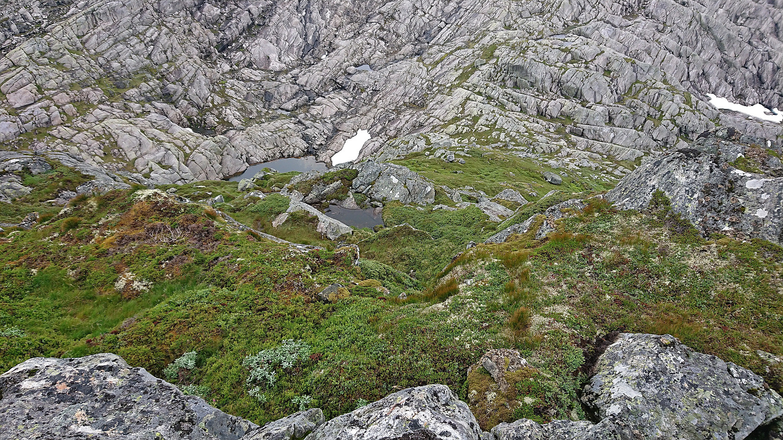
We descended along the ridge to the southwest. Steep at the start, but it was overall easy to find a route not requiring any scrambling. Next we had to find our way over/around the minor ridge called Sør for Vetlevasseggi. While the terrain here presented lots of minor ups and downs, these could all be navigated relatively easily. The final descent into the valley south of Vetlevasseggi was also straightforward.
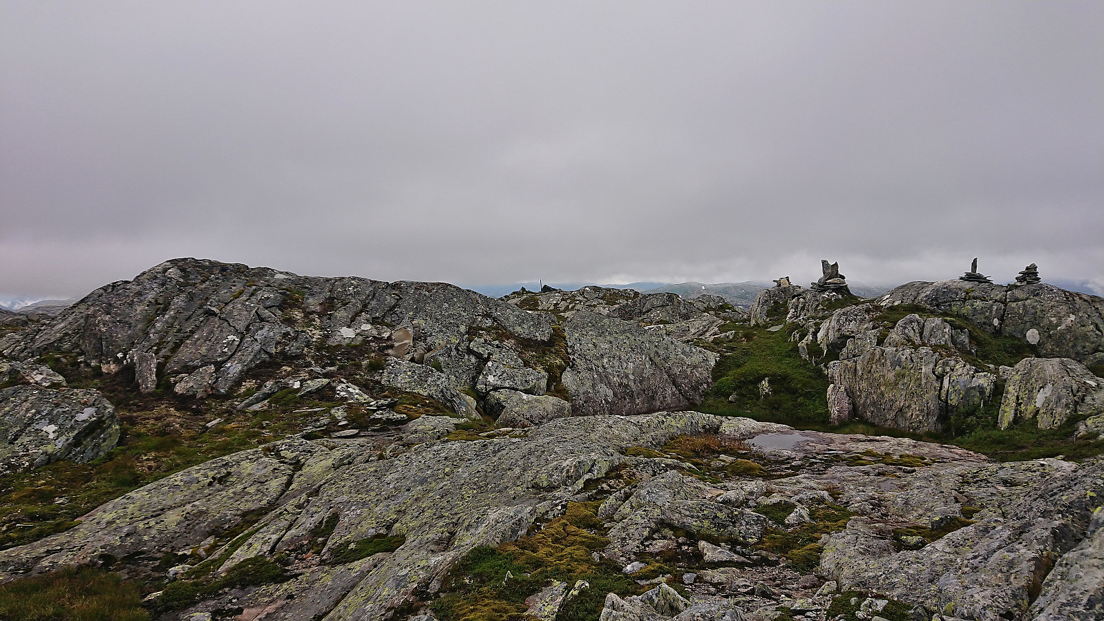
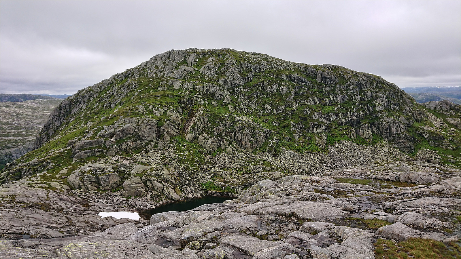
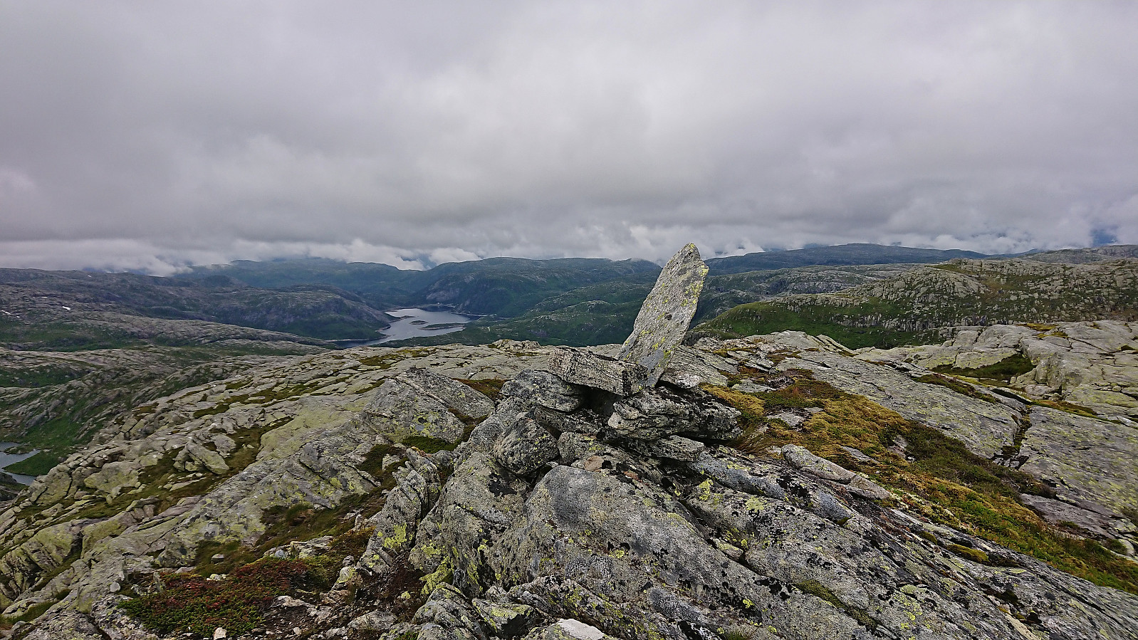
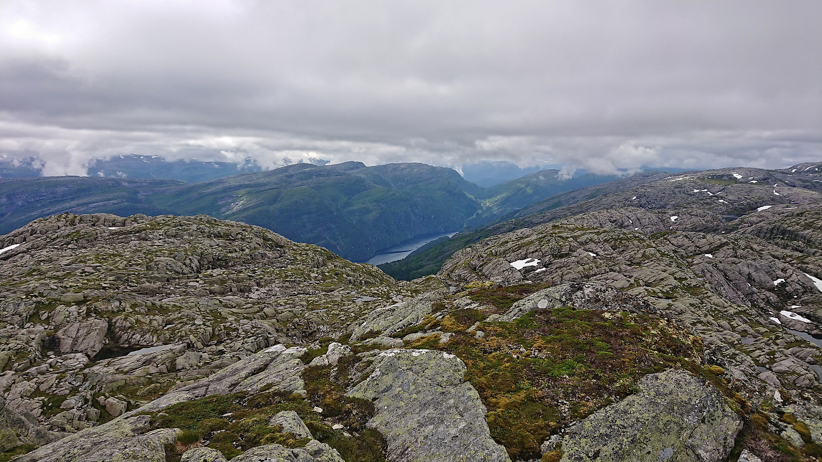
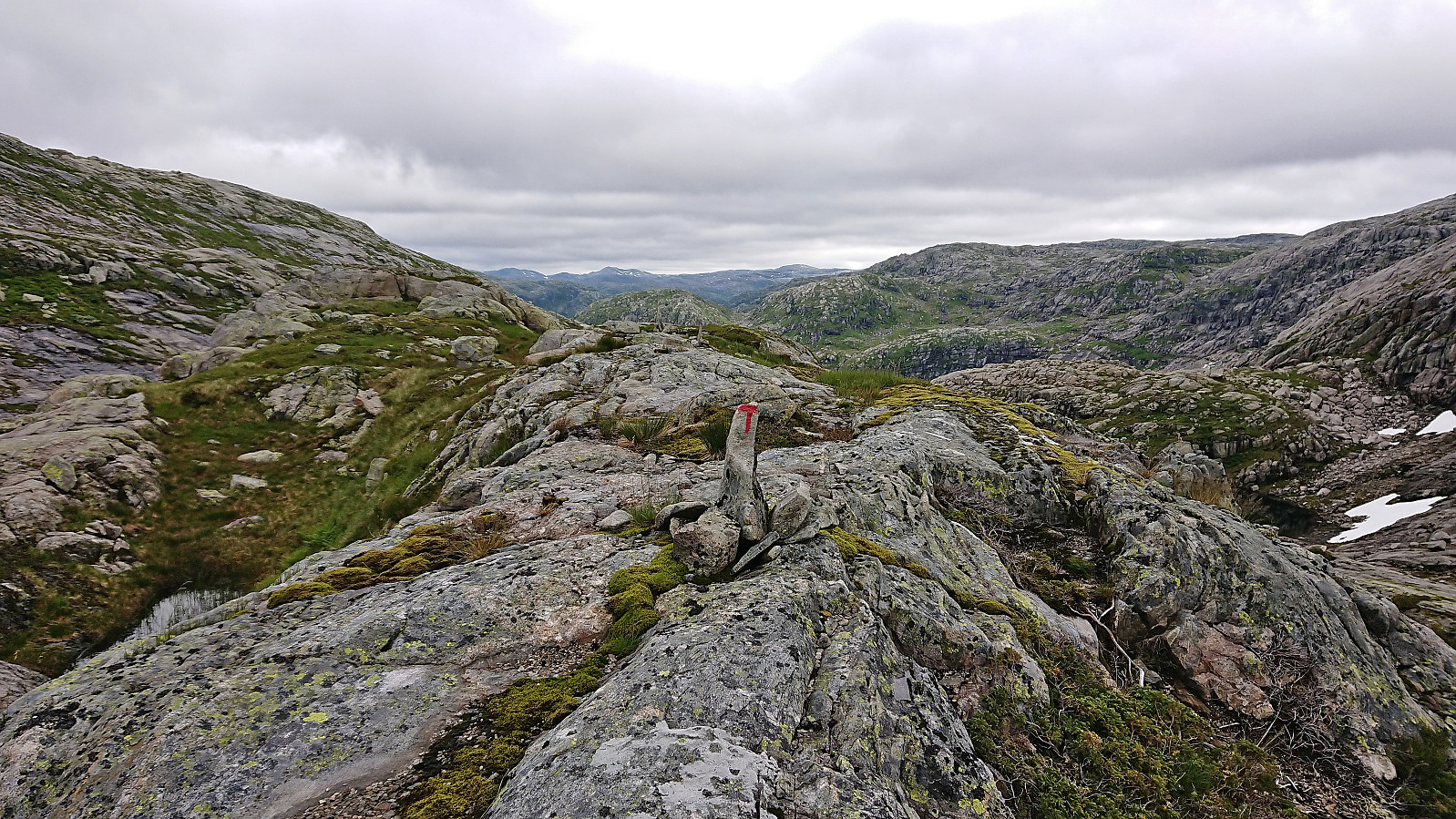
In the valley we crossed the trail marked with red T’s and started our off-trail ascent to Torrisskarfjellet, which was reached without any difficulties to speak of. There were even small cairns that could be followed for the final part of the ascent. Great views from this summit as well, but we did not stay long before starting our descent north.
The initial plan was to follow the small cairns we had come across on the ascent, assuming they would take us north down the ridge and connect with the marked trail. We however quickly lost the cairns and were left finding our own way. Later we also got separated when I had to take a short bio break, and when I could not find Petter, I decided to rather return along our ascent route and follow the marked trail back to the car, assuming that I would find him either on the way or at the car.
It turned out that Petter had successfully navigated the ridge and was probably just behind a large rock or hidden by the terrain when I had been looking for him earlier. We reconnected just west of Vetlavatnet and walked the final distance to the car together, thus concluding a nice roundtrip with great views that can clearly be recommended.


| Start date | 21.07.2022 09:43 (UTC+01:00 DST) |
| End date | 21.07.2022 12:39 (UTC+01:00 DST) |
| Total Time | 2h 55min |
| Moving Time | 2h 38min |
| Stopped Time | 0h 17min |
| Overall Average | 2.6km/h |
| Moving Average | 2.9km/h |
| Distance | 7.6km |
| Vertical meters | 558m |


User comments