
Sørdalsfjellet, Hornafjellet and Gavlafjellet (19.07.2022)

Written by hbar (Harald Barsnes)

| Start point | Øst for Gavlavatnet (1,013m) |
|---|---|
| Endpoint | Øst for Gavlavatnet (1,013m) |
| Characteristic | Hillwalk |
| Duration | 5h 40min |
| Distance | 17.5km |
| Vertical meters | 894m |
| GPS |
|
| Ascents | Gavlafjellet (1,244m) | 19.07.2022 |
|---|---|---|
| Hornafjellet (1,137m) | 19.07.2022 | |
| Sørdalsfjellet (1,217m) | 19.07.2022 |
Sørdalsfjellet, Hornafjellet and Gavlafjellet
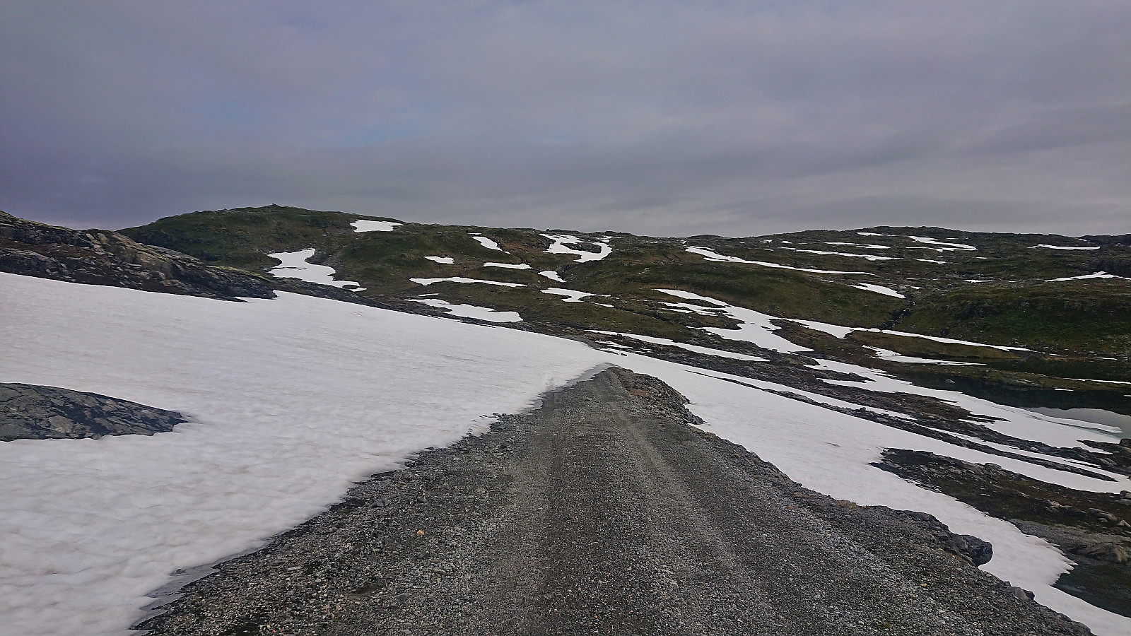

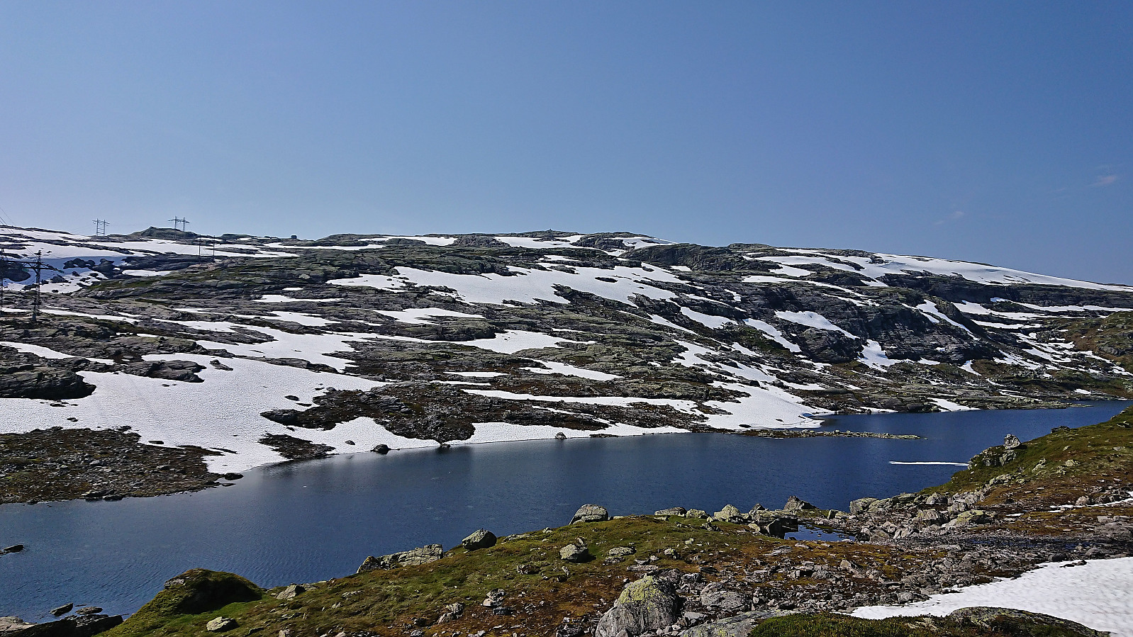
A return to Norddalen with Petter, but this time without skis and with the goal of driving as far up the gravel road as possible to secure easy access to the remaining summits in the area that we had not yet visited. We got as far as east of Gavlavatnet before coming across the first patch of snow covering the road and quickly had to conclude that this was as far as we were going to get by car. In any case, we were just above one kilometer from the start of the ridge up to Sørdalsfjellet and were overall very pleased.
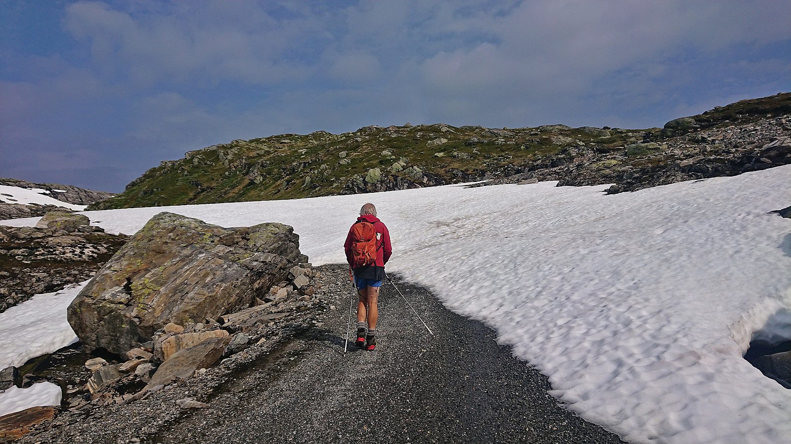
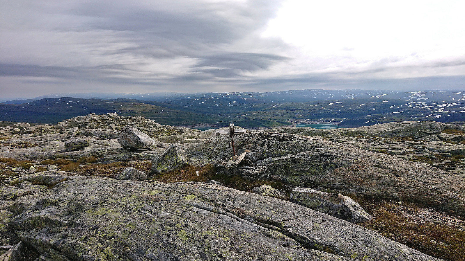
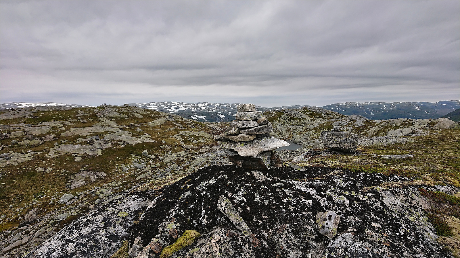
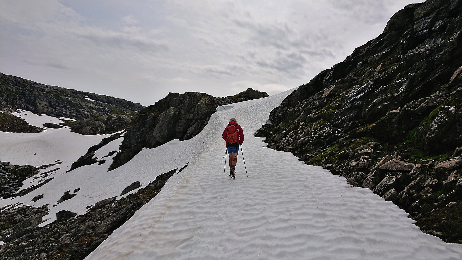
After parking the car by the side of the road, we walked the short distance along the gravel road to the hairpin turn just south of Sørdalsfjellet, which was the second section of the road covered by snow, and from there started off-trail towards the summit. The terrain was easy to hike and it did not take long before we arrived at the summit. Or rather summits, as there were two small hills of almost the same height. The eastern one where the (fallen) trig marker was located was visited first. However, from there the western summit looked higher, hence we went there next. There was not a major difference, but Petter later confirmed via hoydedata.no that the western is indeed slightly higher.
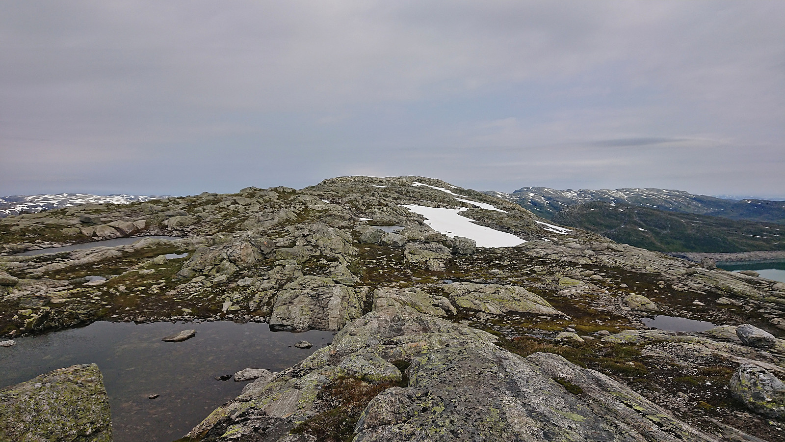
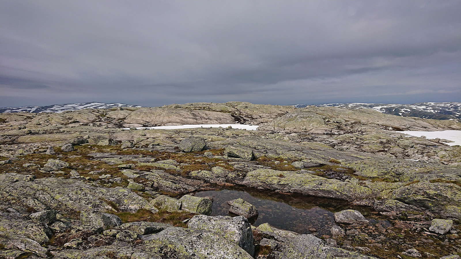
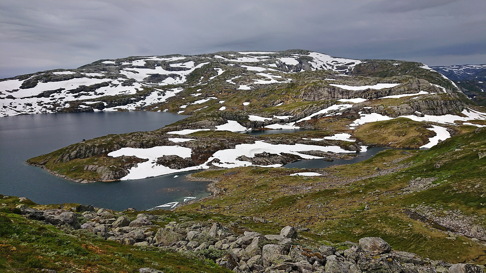
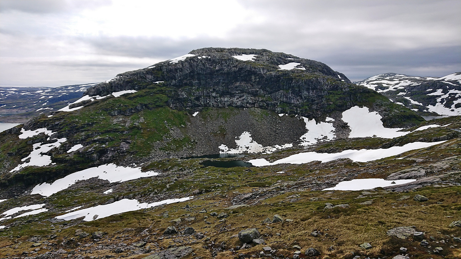
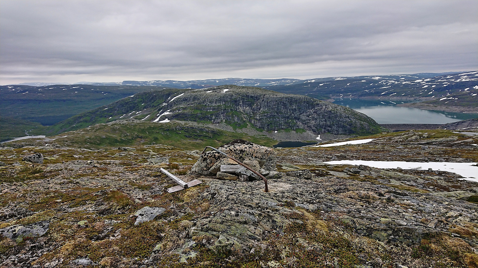
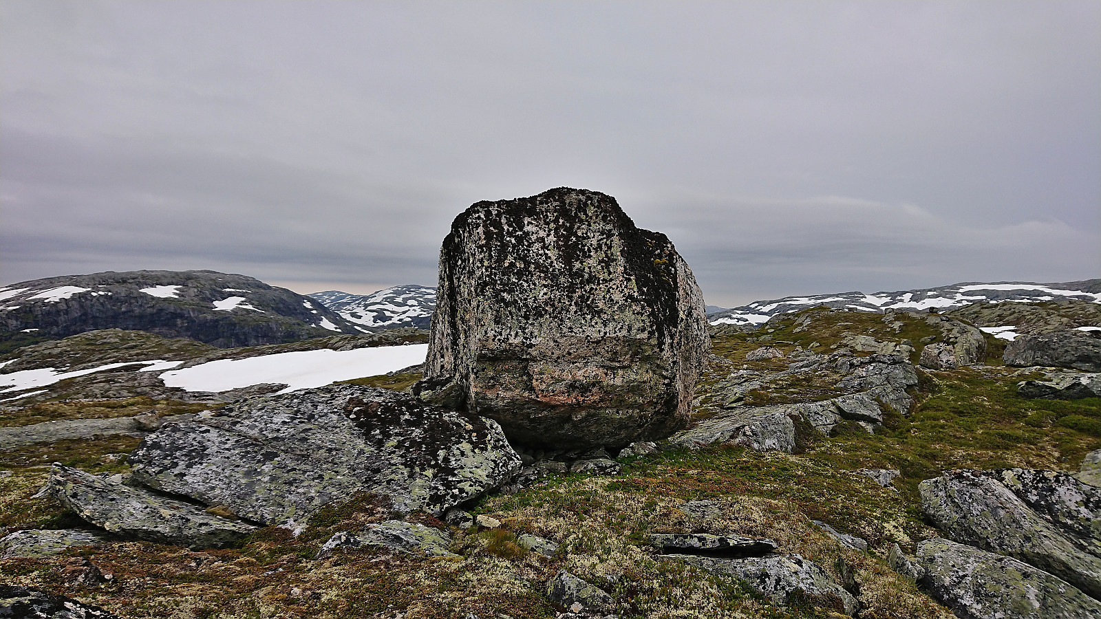
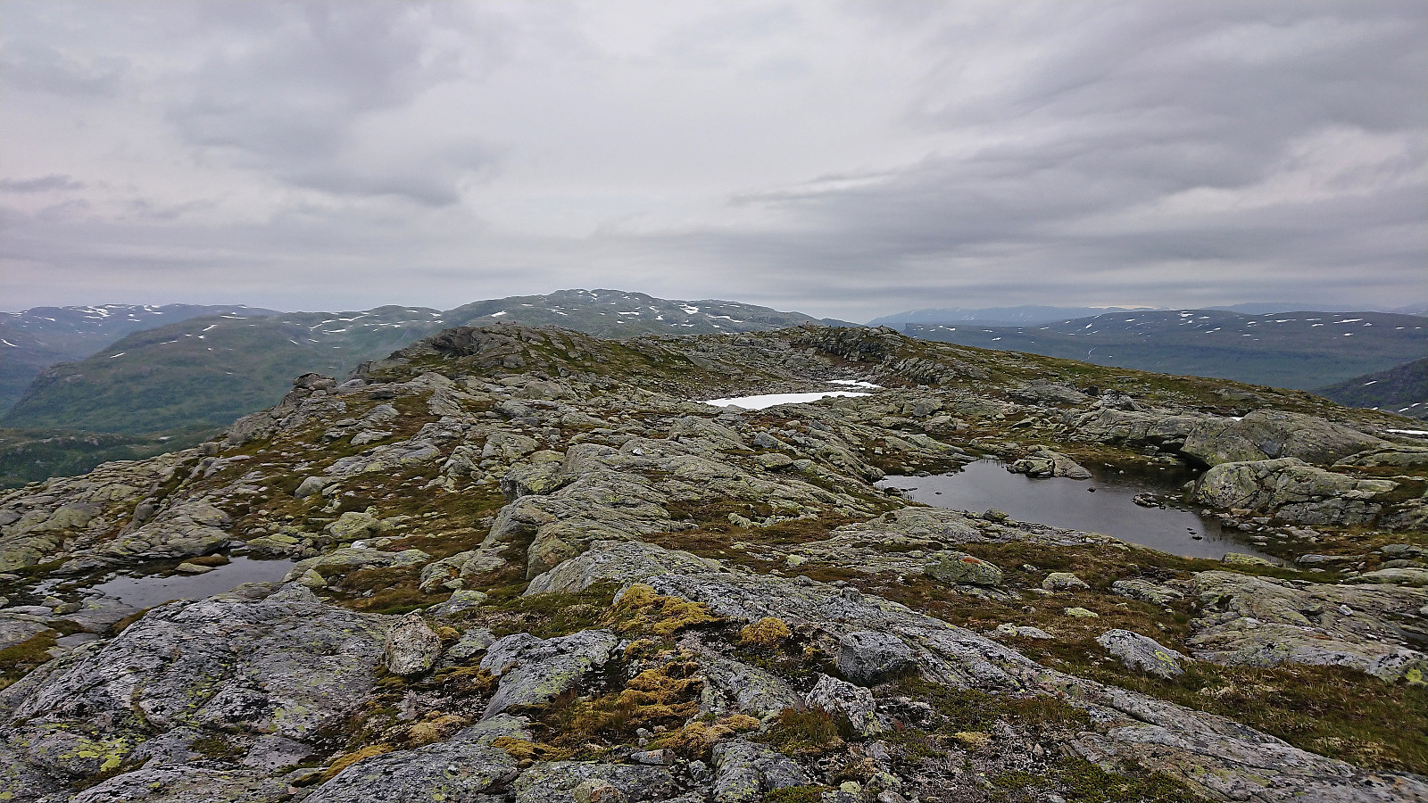
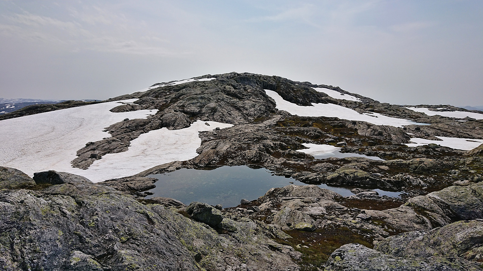
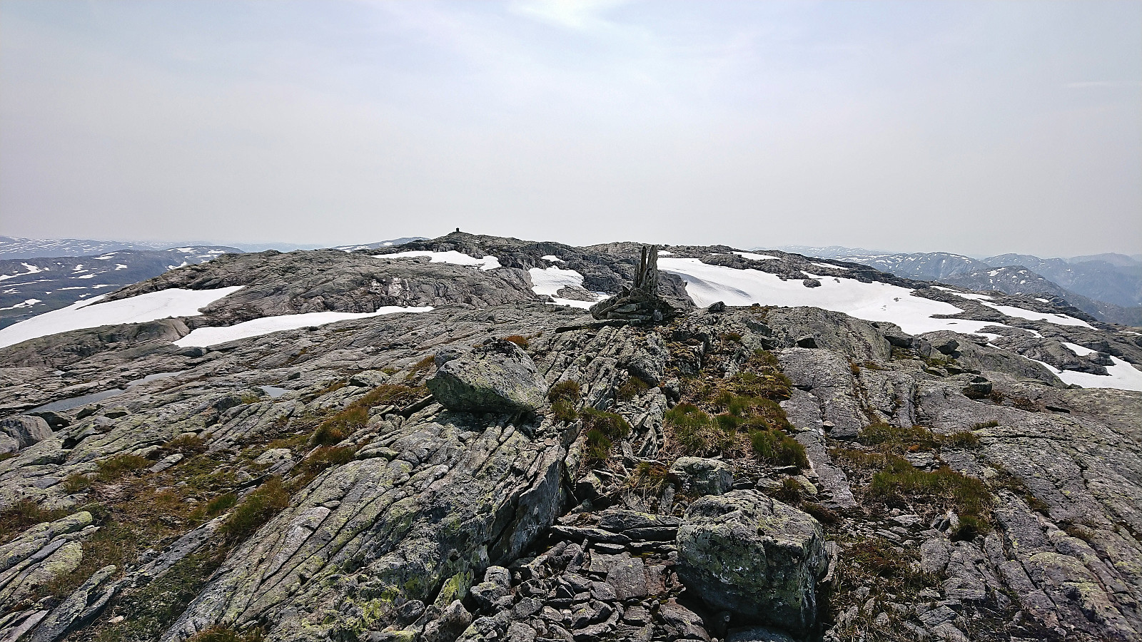
From Sørdalsfjellet we continued north towards Hornafjellet. Getting down into the valley between the two mountains required a bit of careful pathfinding but was overall straightforward and did not present any real challenges. The following ascent to Hornafjellet was also without any issues and we shortly arrived at the summit area. Here there were at least five possible summits to choose from. We of course visited all of the most likely candidates, even the one furthest to the southwest, before concluding that most likely the large rock just southwest of the fallen trig marker was the highest point, which Petter again later confirmed via hoydedata.no.
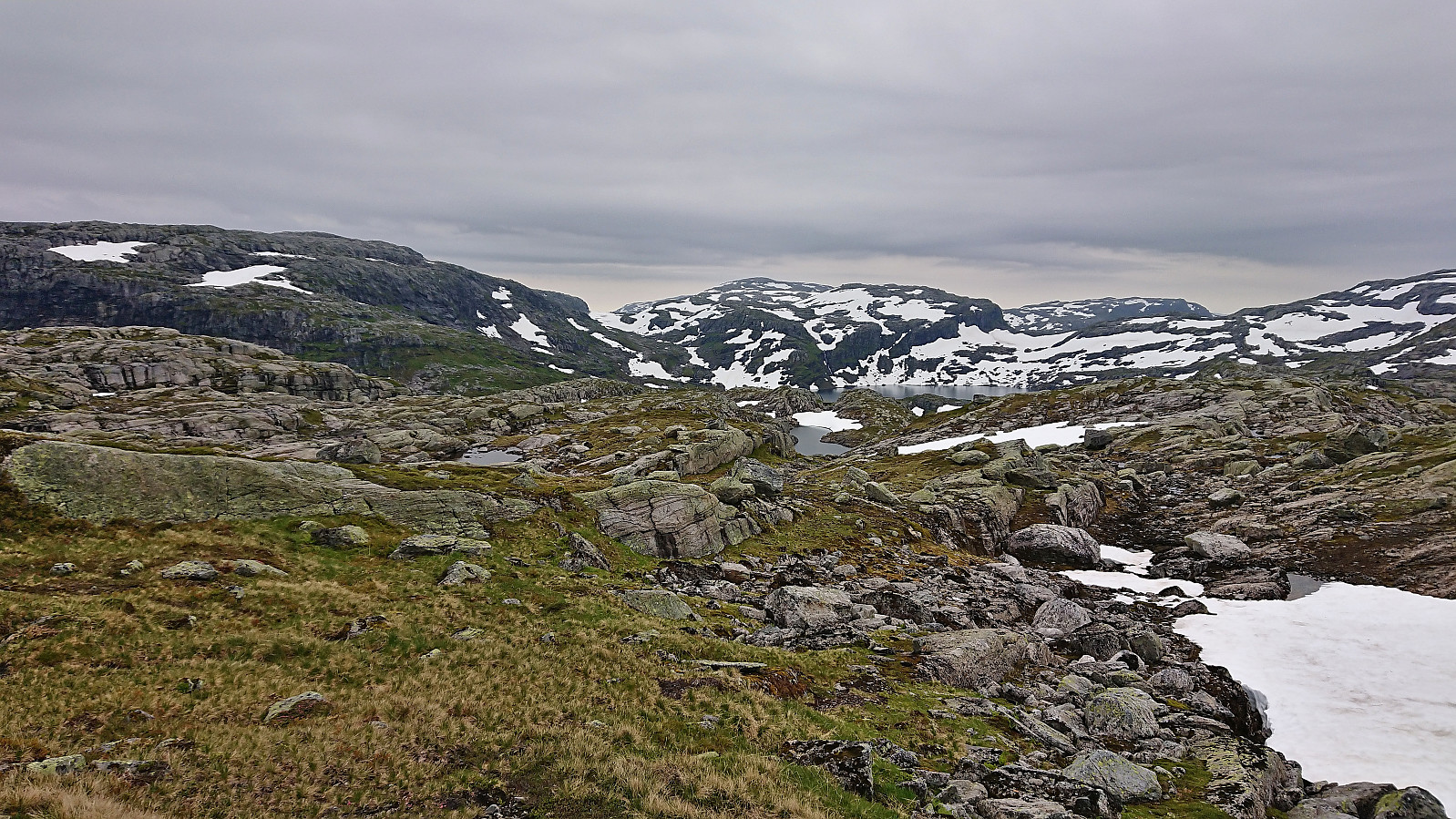
Initially we had considered to also include a visit of Nordøst for Storfjellet, but now concluded that this one would have to wait for a later hike, most likely starting from Modalen, as it was more important to visit the summits most easily accessible from our current starting position. We therefore instead returned south to Øvre Sørdalsvatnet and from there started our ascent to Gavlafjellet.
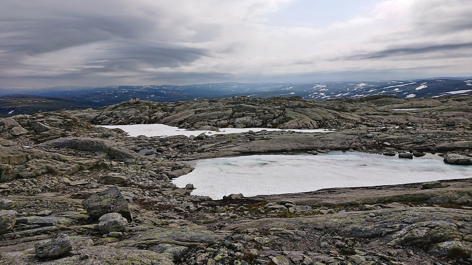
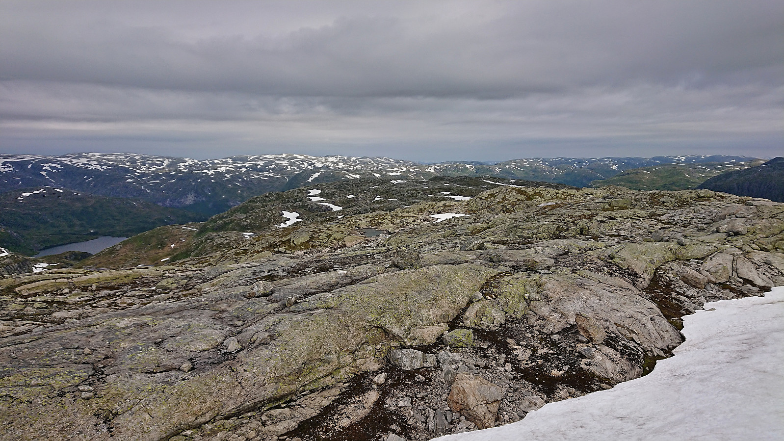
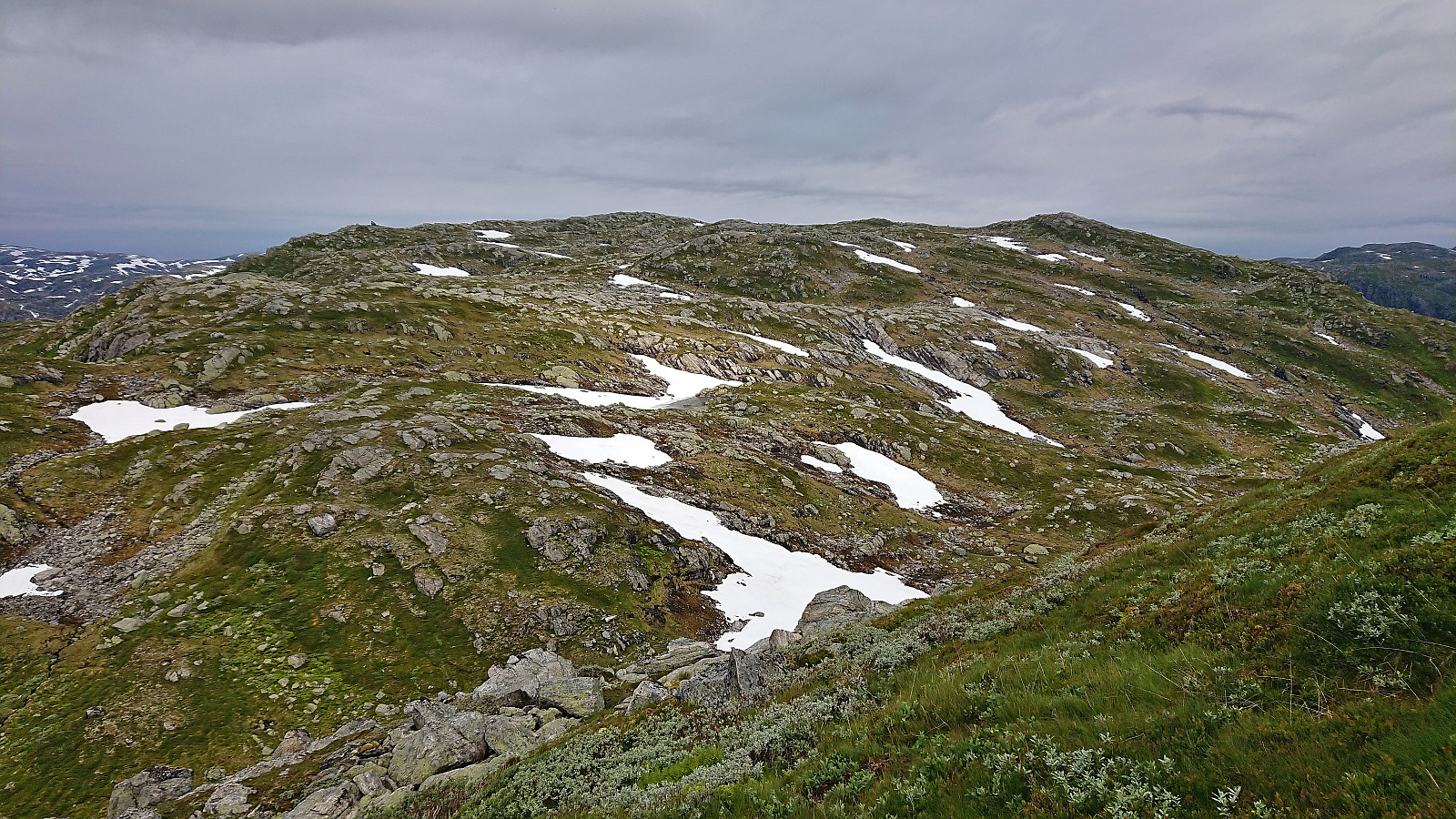
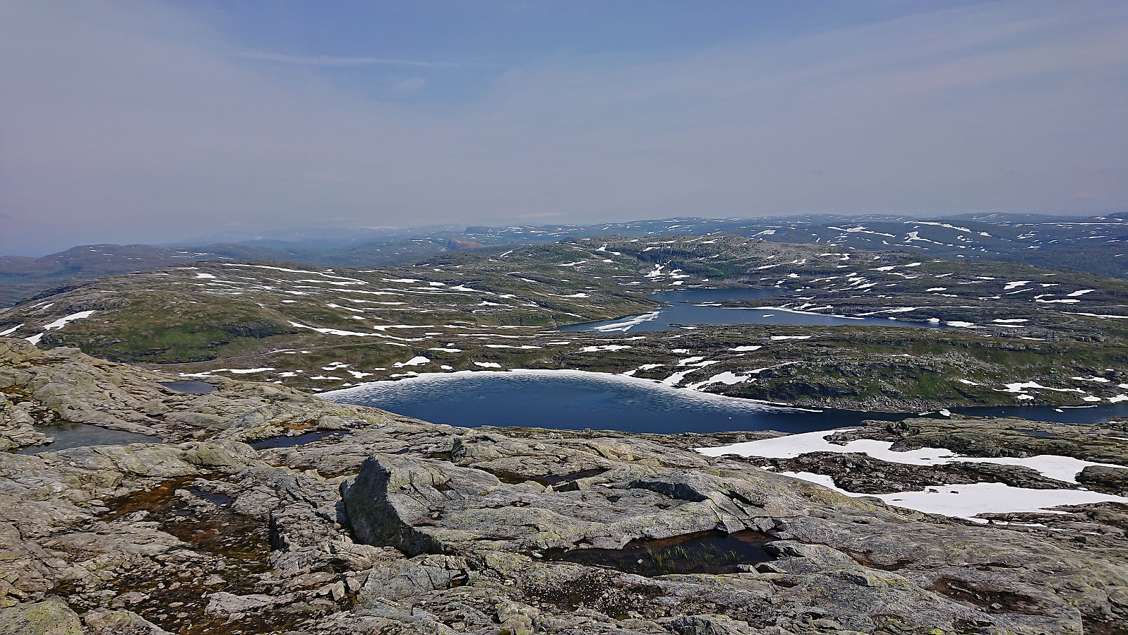
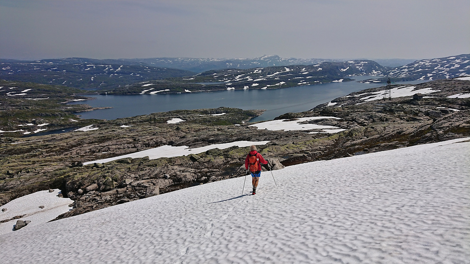
After partly following a sheep track, we walked up Skorvadalen and made our way up to the ridge south of Gavlafjellet that would take us all the way to the summit. After getting up to the ridge the progress was straightforward, except for the area just north of the summit where there were a couple of steep sections that had to be circumvented. Excellent panoramic views from the summit and great place for a short break.
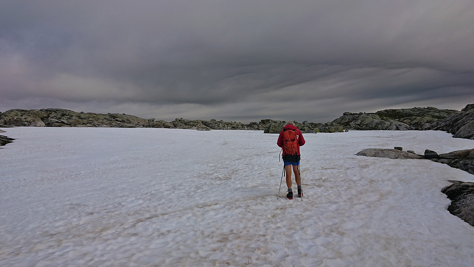
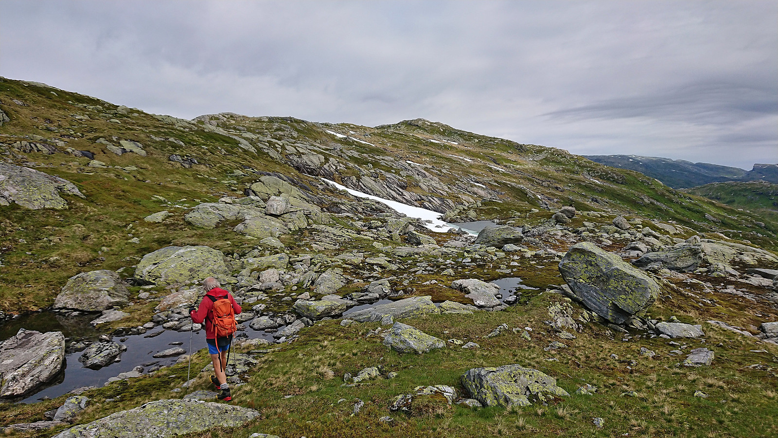
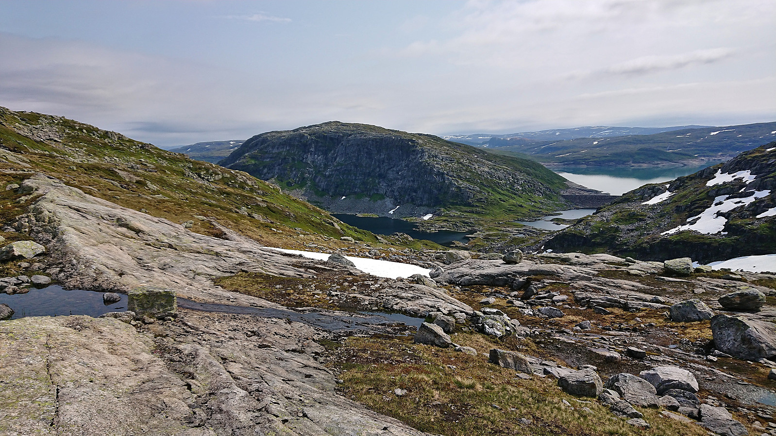
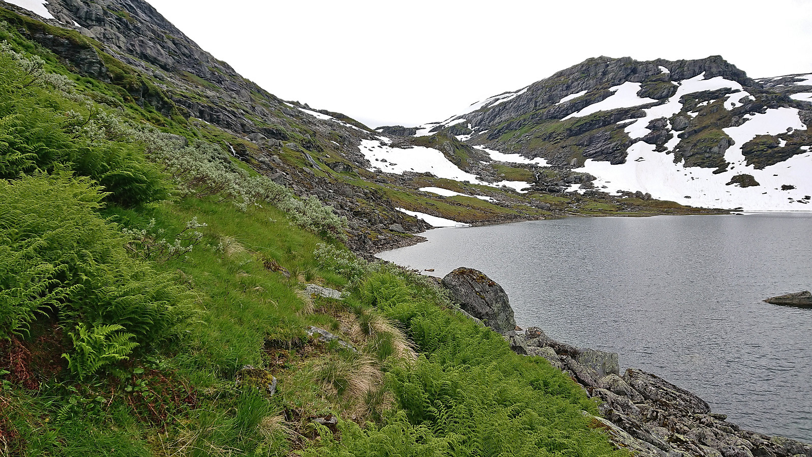
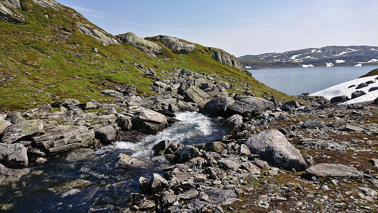
From the summit we headed for the river connecting Gavlavatnet from the larger Skjerjavatnet to the south, hoping that we could find an easy crossing there to return to the car. The first part of this descent however turned out to be more tricky than indicated on the map, as we quickly found ourselves in quite steep terrain. While it is probably easy to avoid this by descending further north or south, or certain section may be easier when free of snow, we managed to find a basic scrambling route without too much trouble.
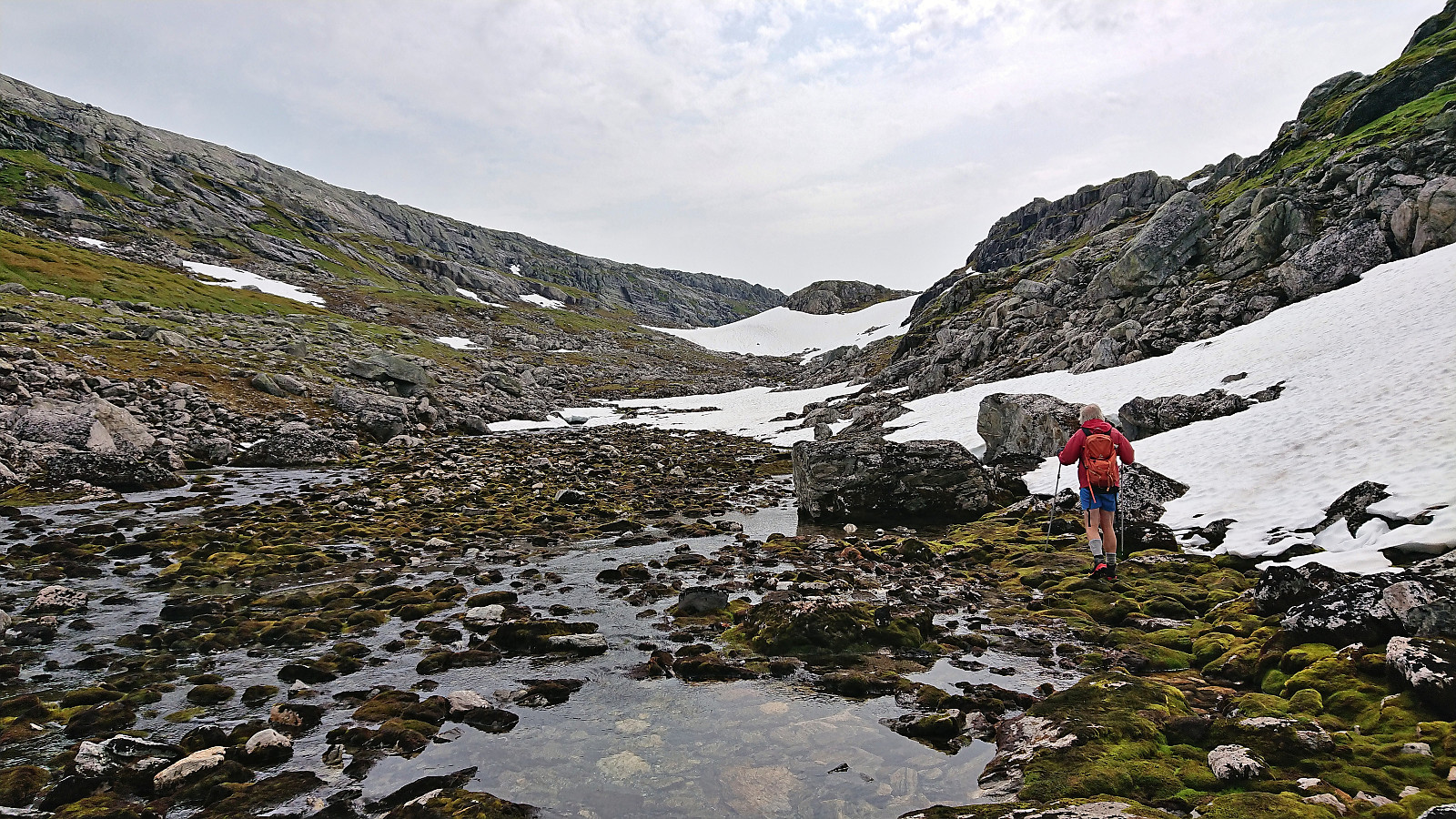
Plenty of minor ups and downs from there until reaching the river crossing, but no more scrambling was required. Crossing the river thankfully also turned out to be straightforward as it could basically be done with a single long step. From there we followed a sheep trail taking us around the small 1058 hill, before turning off-trail to the car.
In summary, a very nice trip to three summits that can all be reached without any real difficulties. Making use of the gravel road up Norddalen also ensures easy access.


| Start date | 19.07.2022 10:18 (UTC+01:00 DST) |
| End date | 19.07.2022 15:59 (UTC+01:00 DST) |
| Total Time | 5h 40min |
| Moving Time | 5h 07min |
| Stopped Time | 0h 33min |
| Overall Average | 3.1km/h |
| Moving Average | 3.4km/h |
| Distance | 17.5km |
| Vertical meters | 894m |


User comments