
Hesteggi from Einehaugen/Barsnes (10.07.2022)

Written by hbar (Harald Barsnes)

| Start point | Einehaugen (37m) |
|---|---|
| Endpoint | Einehaugen (37m) |
| Characteristic | Hillwalk |
| Duration | 6h 04min |
| Distance | 14.4km |
| Vertical meters | 1,043m |
| GPS |
|
| Ascents | Hesteggi (905m) | 10.07.2022 |
|---|---|---|
| Visits of other PBEs | Flot (219m) | 10.07.2022 |
| Flotshaugen utsiktspunkt (221m) | 10.07.2022 | |
| Heggerusti (430m) | 10.07.2022 |
Hesteggi from Einehaugen/Barsnes
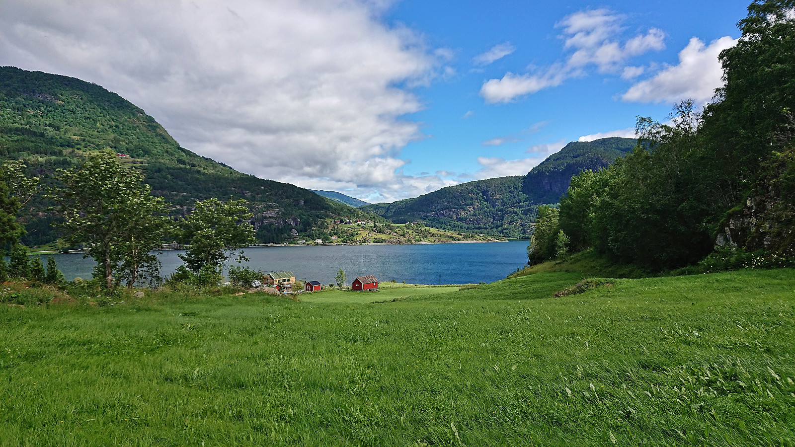
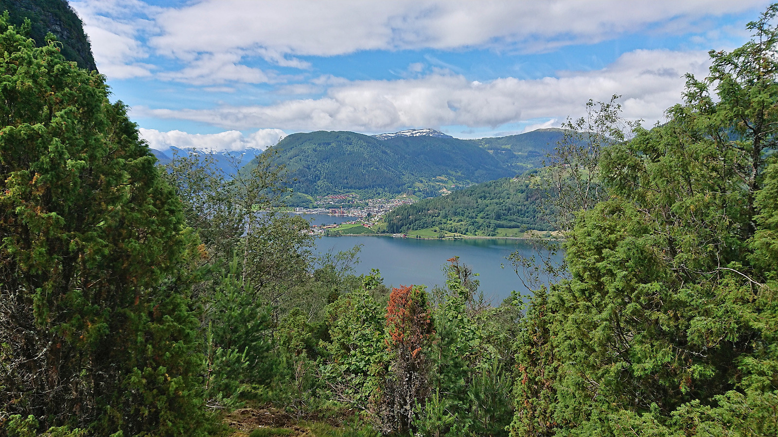
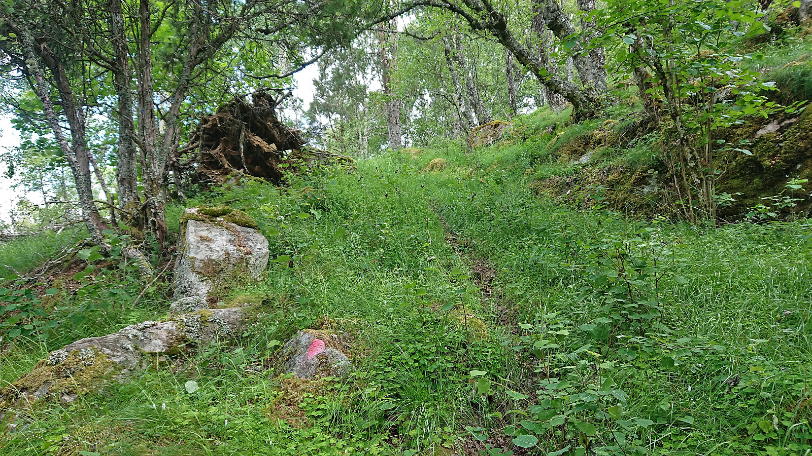
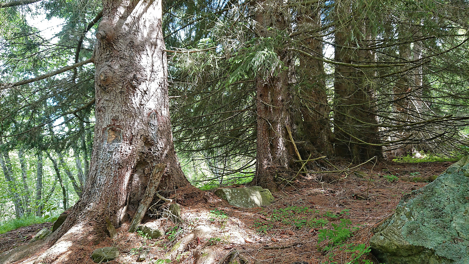
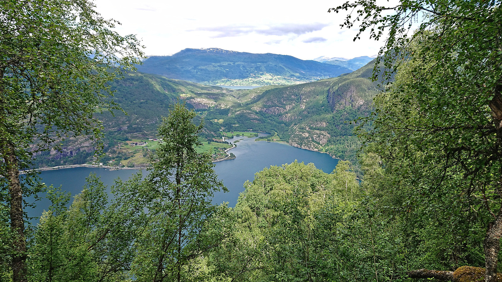
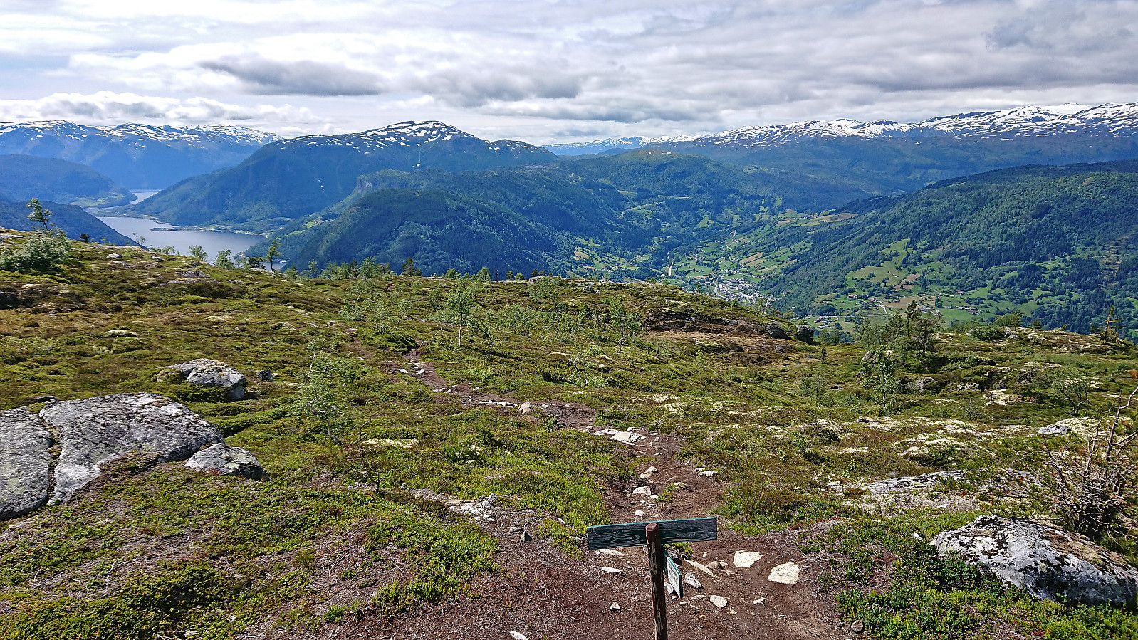
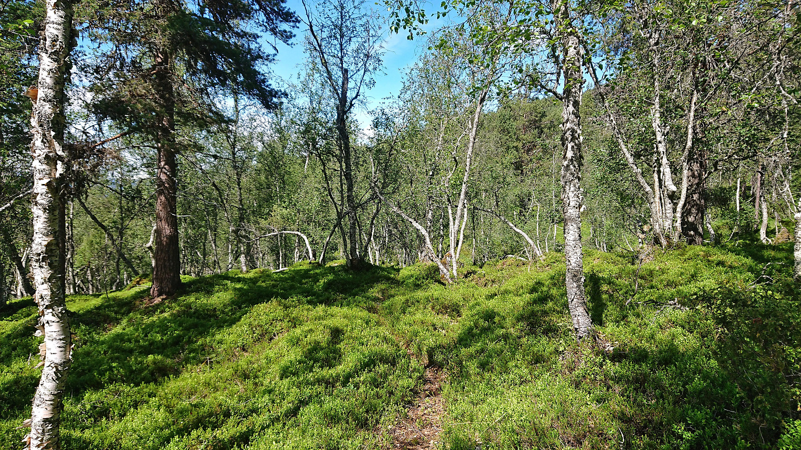
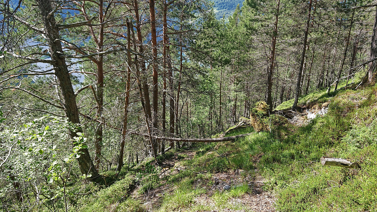
Today it was time for a hike that I had not done since I was a kid: ascending to the tractor road at Barsnesfjellet from Einehaugen/Barsnes via Flot. We started along the marked trail to Flot where we made a quick stop at the now marked viewpoint just west of the visitor register. After rounding the small hill to the east, we began the real ascent to the tractor road. There is a trail to Furehaugen (there was even a single red trail marker early on!), but it is now quite weak and feels more like a deer track than a trail. On the way to Furehaugen you can also look out for an arrow carved in a large tree that points the way.
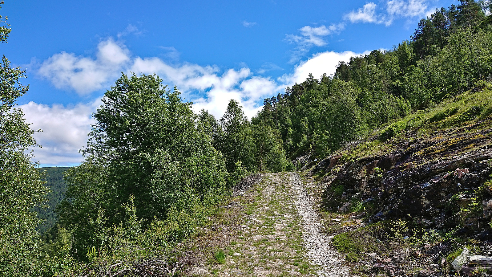
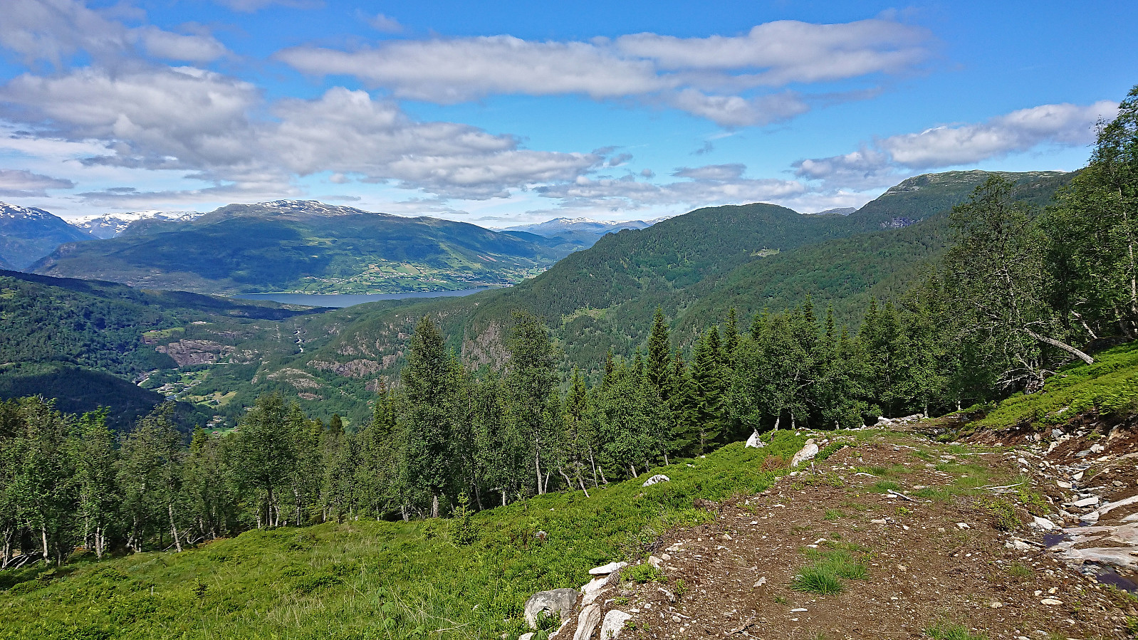
At Furehaugen the trail more or less disappeared, with the many fallen trees across the trail not helping. There was however a steep trail/track that could be followed, but whether this was the remains of the old trail or simply a deer track was unclear. In any case, the tractor road at Barsnesfjellet was easily reached and we proceeded to follow it east looking for a trail/track to the summit of Hesteggi.
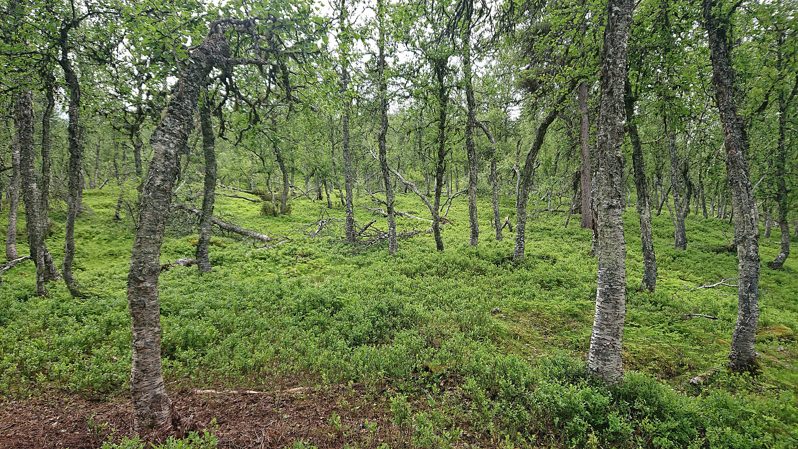
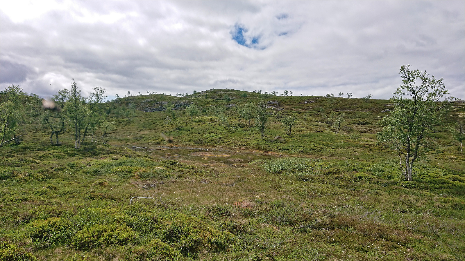
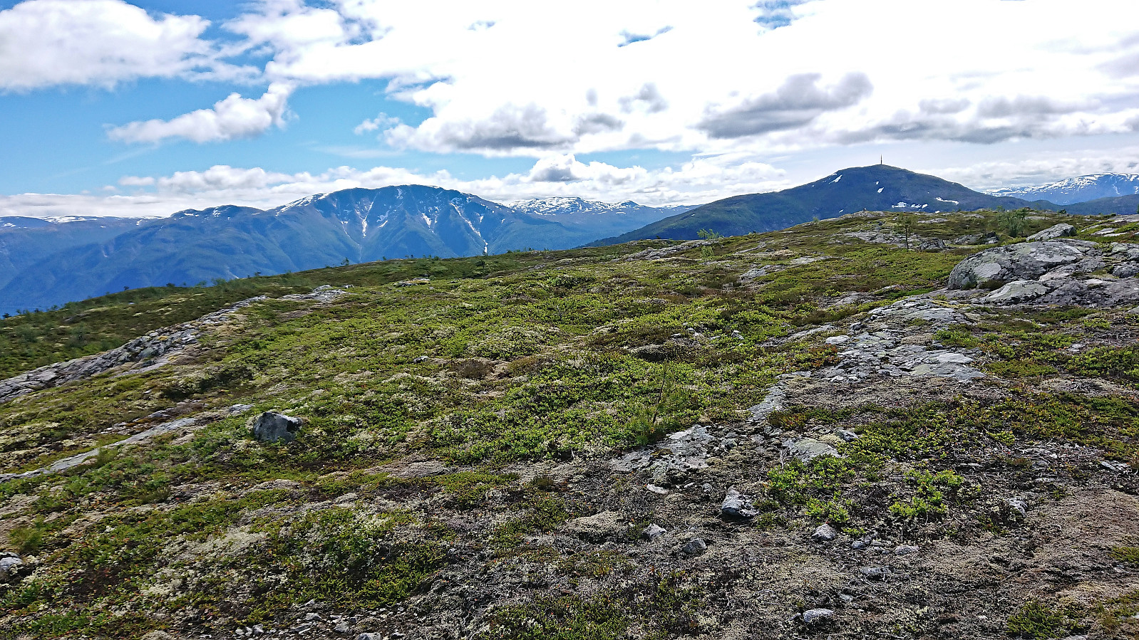
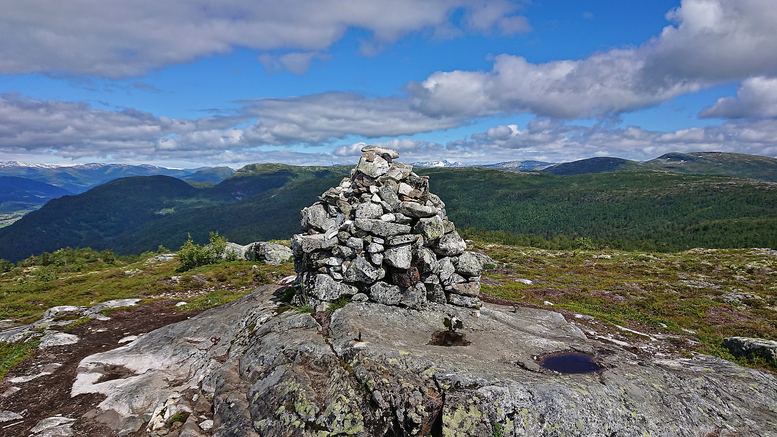
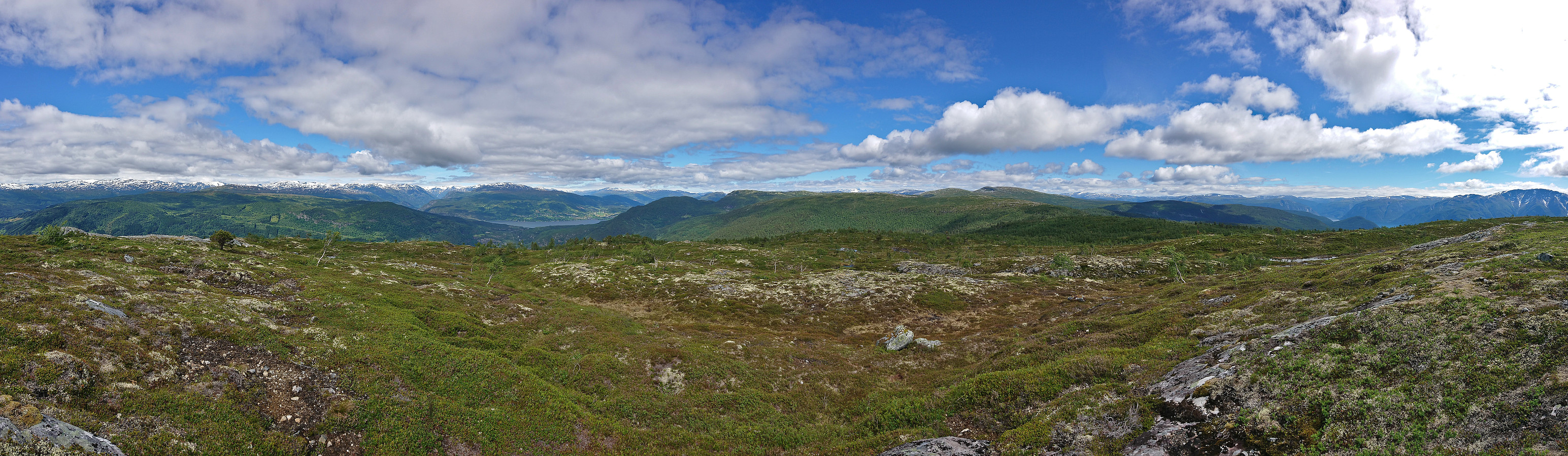
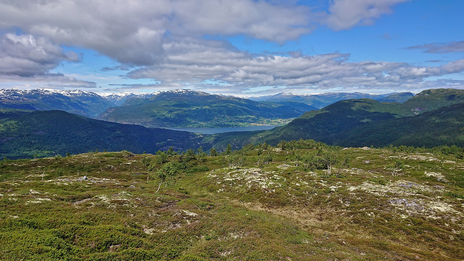
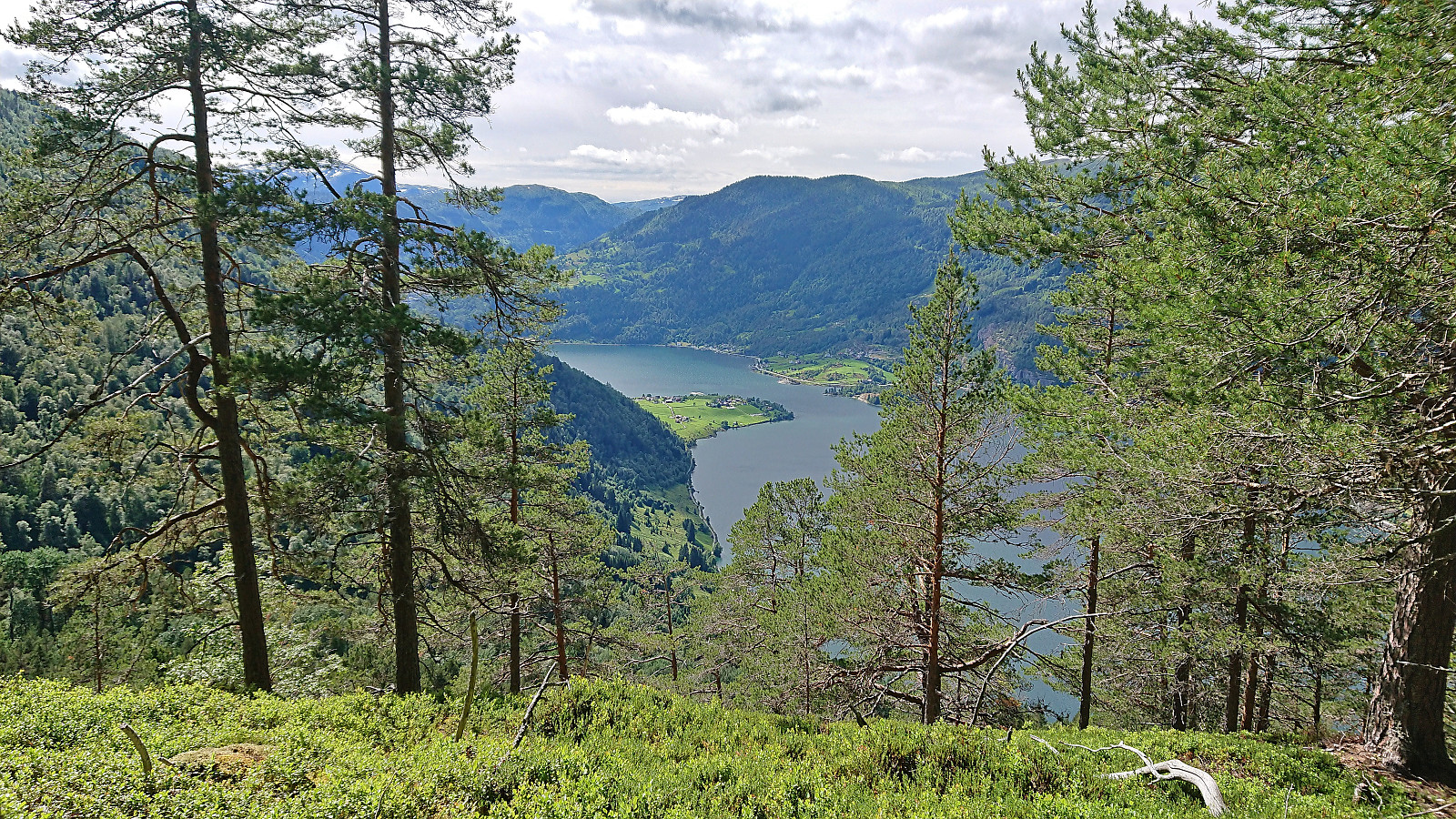
The tractor roads continued further up than on the map, but as far as we could tell there were no trails/tracks heading for the summit. Here my dad decided to return to the main tractor road, while I headed off-trail to the summit. The terrain was easy to traverse and I arrived at the summit of Hesteggi without any issues. On my way there I had however picked up an entourage of upwards of fifty attention-seeking flies. Hence, taking pictures of the excellent views turned out to be more difficult than usual.
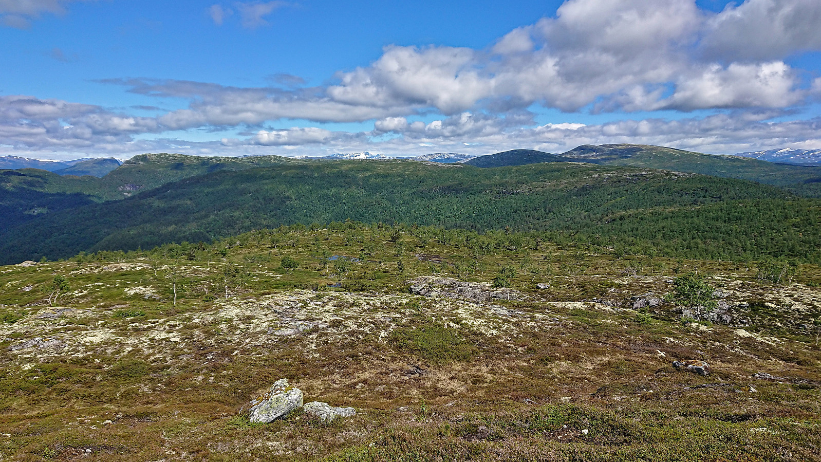
After lots of pictures, to ensure that at least a couple of them where without a dozen flies, I returned along more or less the same route to the tractor road where I reconnected with my dad. For our descent we decided to head east via Skogasetdalen and Heggerusti, before descending steeply down to Barsnesfjorden. There is supposed to be a trail here as well, but again it was quite weak and looked more like a deer track. The trail did however get much clearer in the steeper sections further down, although today it was also partly hidden by large ferns. Upon reaching the gravel road along Barsnesfjorden, all that remained was the walk along the fjord back to Einehaugen.
In summary, a nice hike with excellent views along the way. Most of the hike is however in steep terrain on week trails/tracks. If this is not your cup of tea there are clearly easier ways to ascend Hesteggi that ought to be considered instead.
(Note that there is no parking at the trailhead. There are however a couple of parking spaces down by the small wharf along Barsnesfjorden just before the road turns west and starts climbing slightly towards the crossroads at Barsnes.)
| Start date | 10.07.2022 11:15 (UTC+01:00 DST) |
| End date | 10.07.2022 17:19 (UTC+01:00 DST) |
| Total Time | 6h 04min |
| Moving Time | 5h 27min |
| Stopped Time | 0h 37min |
| Overall Average | 2.4km/h |
| Moving Average | 2.6km/h |
| Distance | 14.4km |
| Vertical meters | 1,042m |


User comments