
Gråfjellet, Høgabu and Bergsbukken (from Lid to Vaksdal) (01.07.2022)

Skrevet av hbar (Harald Barsnes)

| Startsted | Bergsdalstunet p-plass (442moh) |
|---|---|
| Sluttsted | Vaksdal stasjon (17moh) |
| Turtype | Fjelltur |
| Turlengde | 8t 49min |
| Distanse | 28,3km |
| Høydemeter | 1327m |
| GPS |
|
| Bestigninger | Bergsbukken (1162moh) | 01.07.2022 |
|---|---|---|
| Gråfjellet (1057moh) | 01.07.2022 | |
| Liabukken (1145moh) | 01.07.2022 | |
| Andre besøkte PBE'er | Lid p-plass (443moh) | 01.07.2022 |
| Herfindal p-plass (356moh) | 01.07.2022 | |
| Høgabu (907moh) | 01.07.2022 | |
| Vaksdal stasjon (17moh) | 01.07.2022 |
Gråfjellet, Høgabu and Bergsbukken (from Lid to Vaksdal)
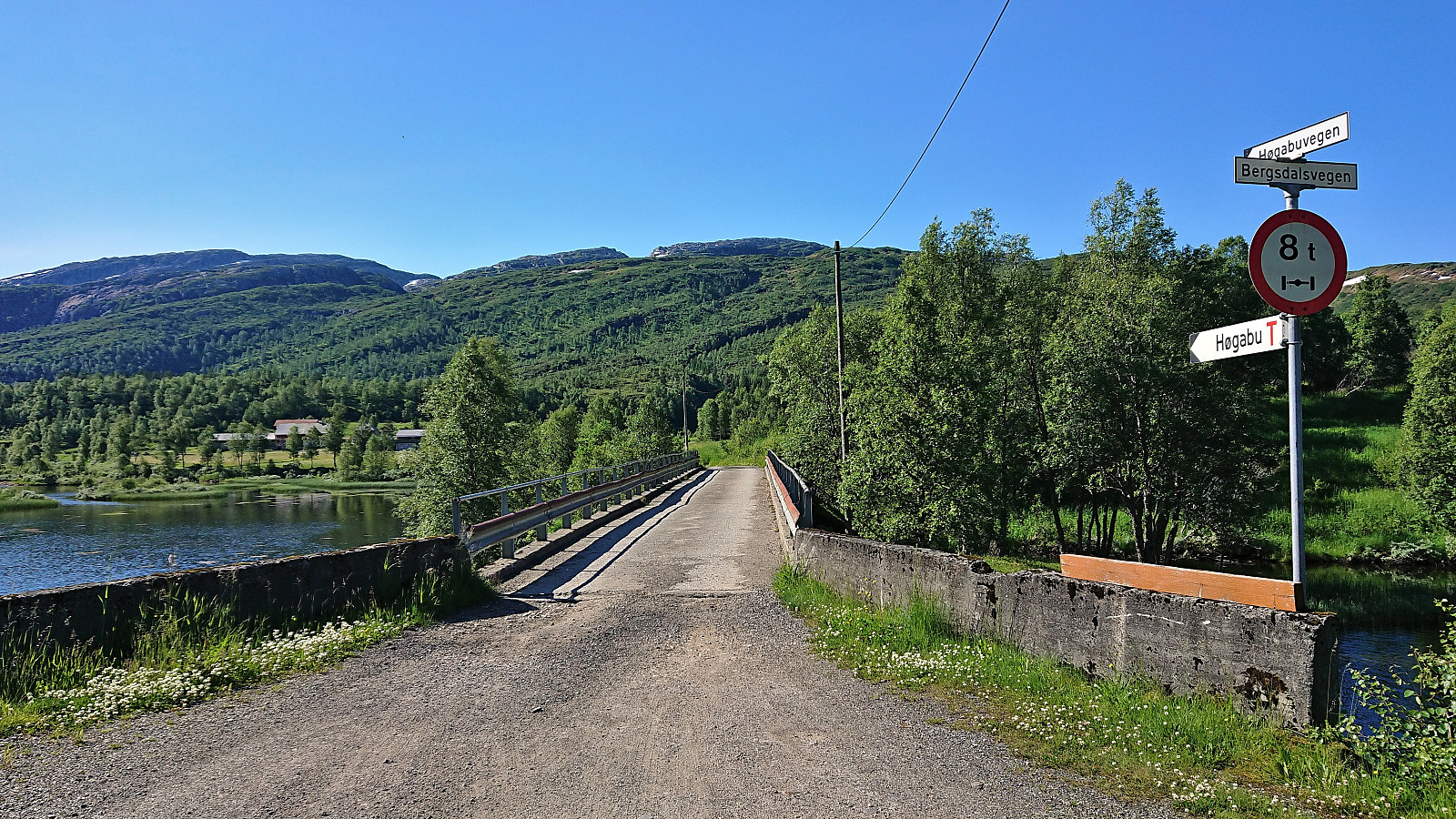
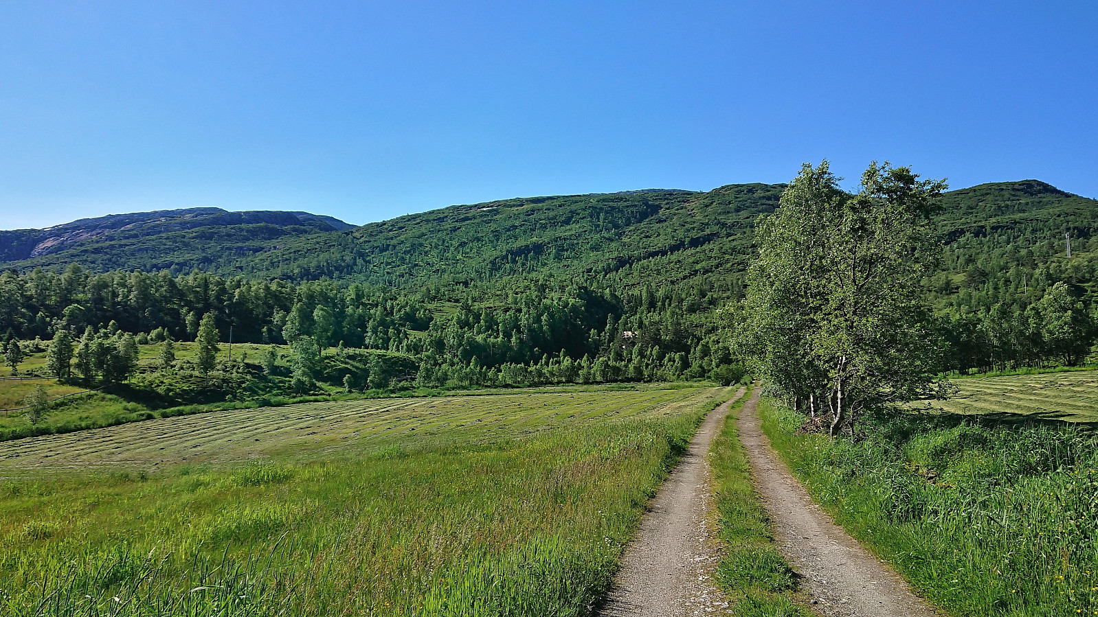
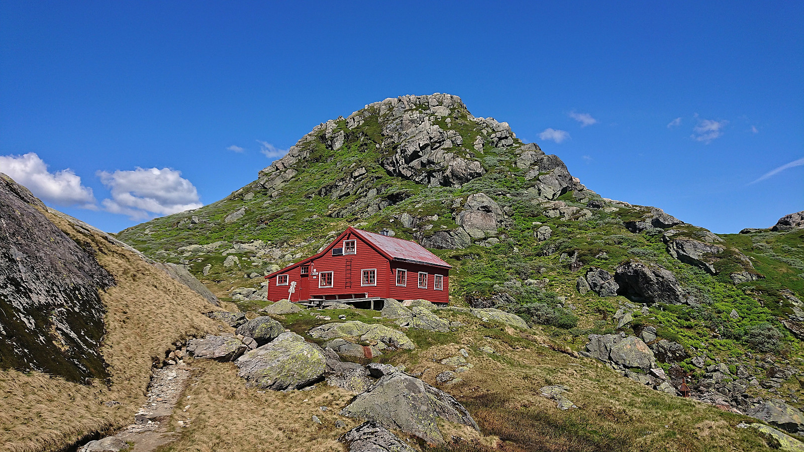
On what looked like it would be the last sunny and warm day for a while, I took the advice of the weather man on the morning radio and took the Friday off to go hiking. Started by taking the train to Dale and the bus to Bergsdalen where I got off at the bus stop called "Lid aust". This put me directly at the start of the marked trail to Høgabu which I then proceeded to follow.
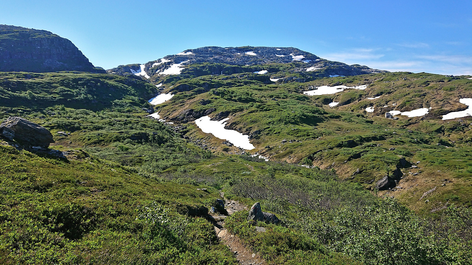
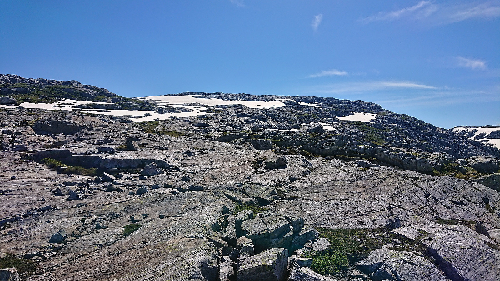
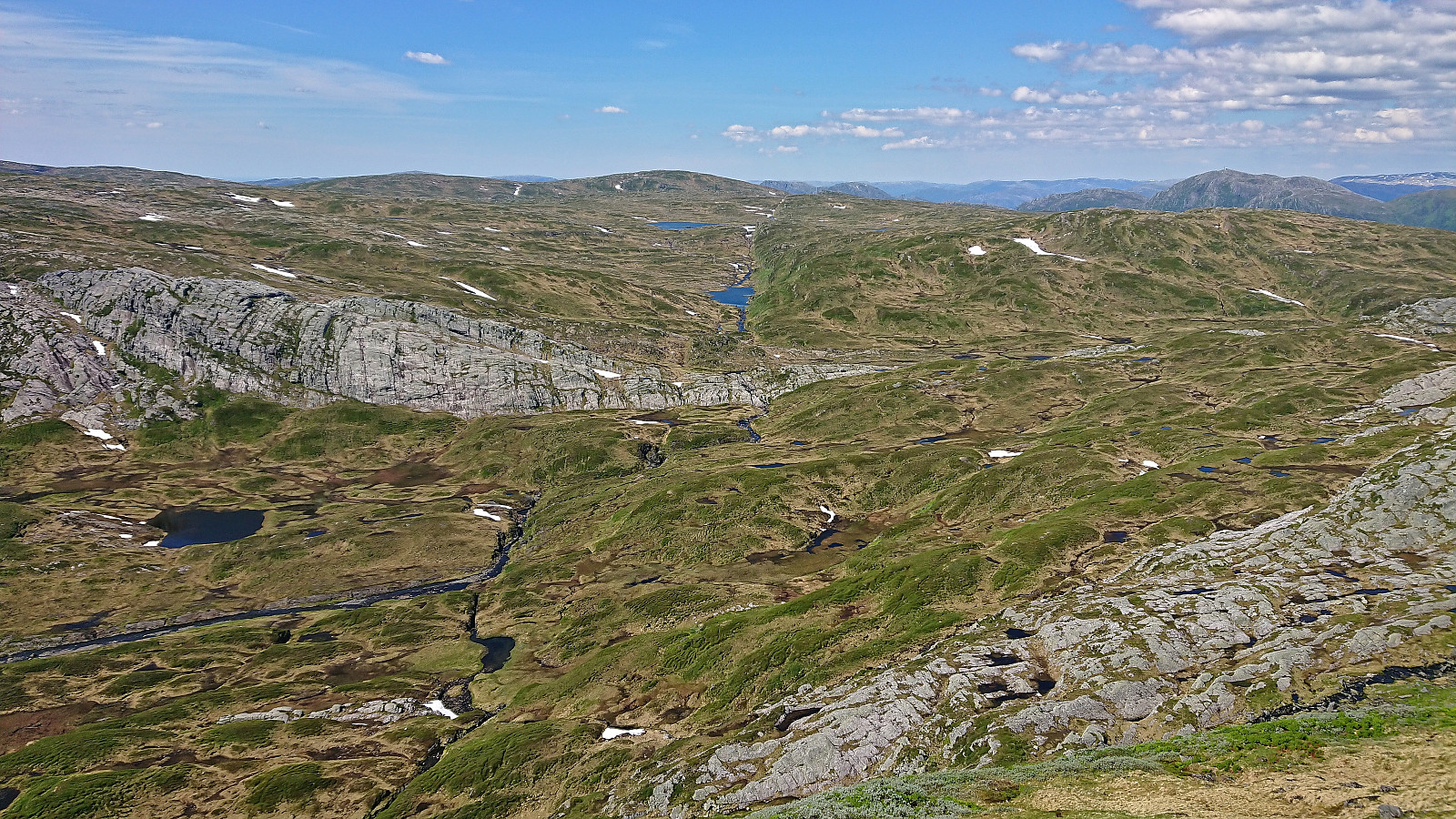
For the first part of the ascent I was escorted by a squadron of buzzing flies, but thankfully they gave up their pursuit as I climbed above the tree line, partly due to a cool breeze from the southwest. On my way to Høgabu I had initially planned to ascend Gråfjellet from the northeast via Storaskaret as there is supposed to be a weak trail crossing the ridge of Gråfjellet. However, as I did not locate the start of this trail, I instead continued on the marked trail for a bit longer and simply ascended off-trail when I was west of the summit. Besides the first section being a bit wet and slippery, this was overall straightforward and I arrived at the summit without any issues.
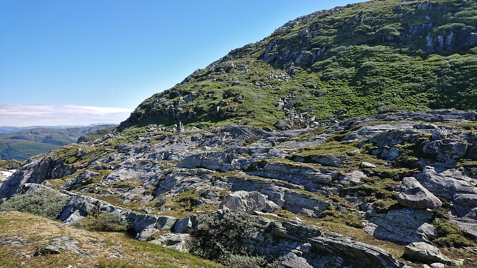
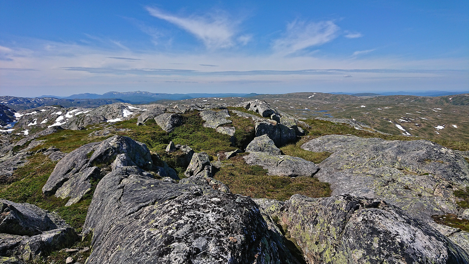
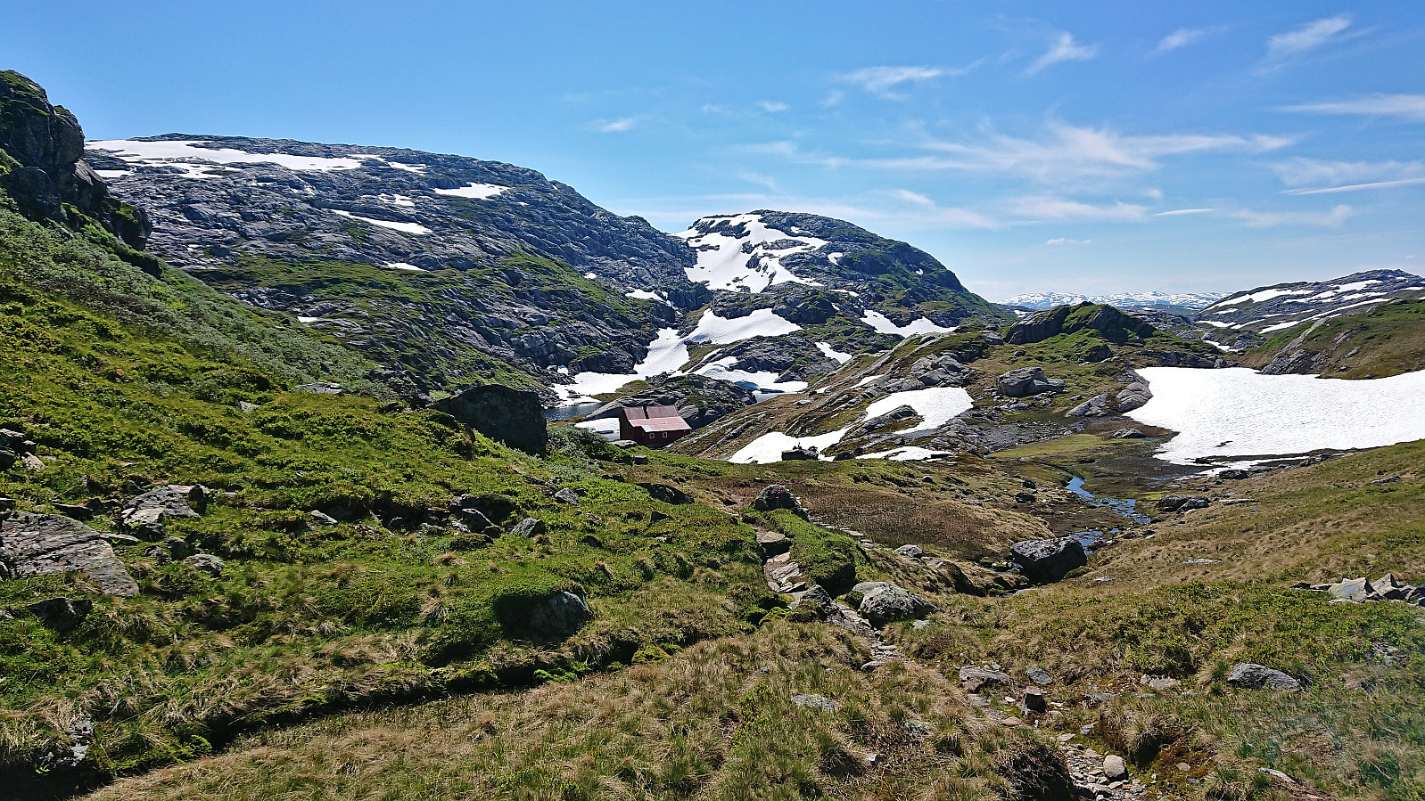
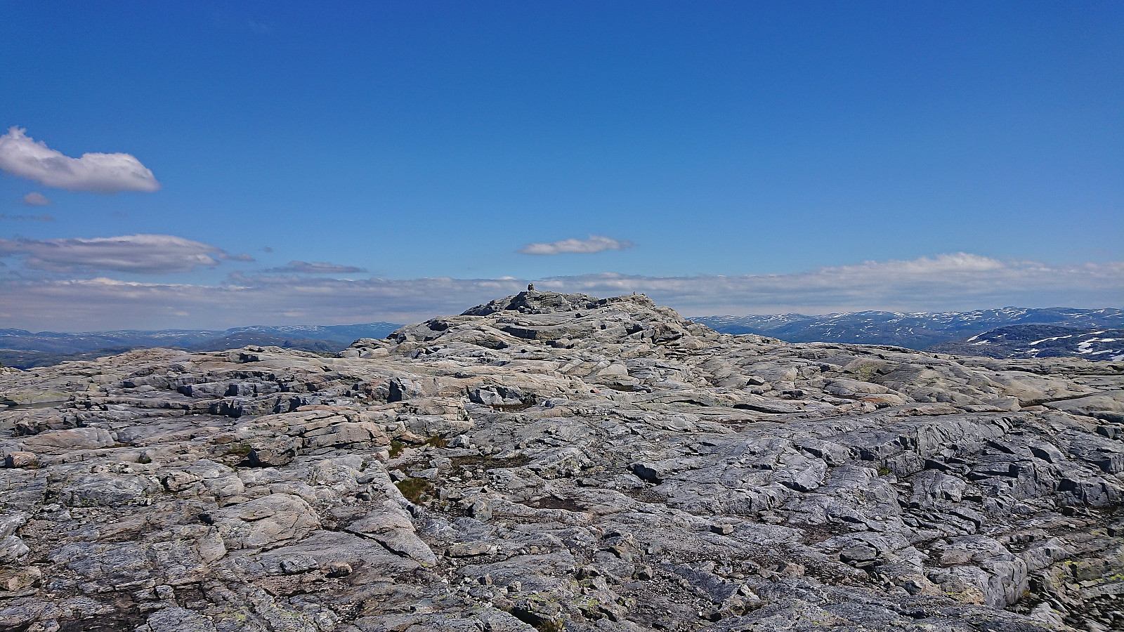
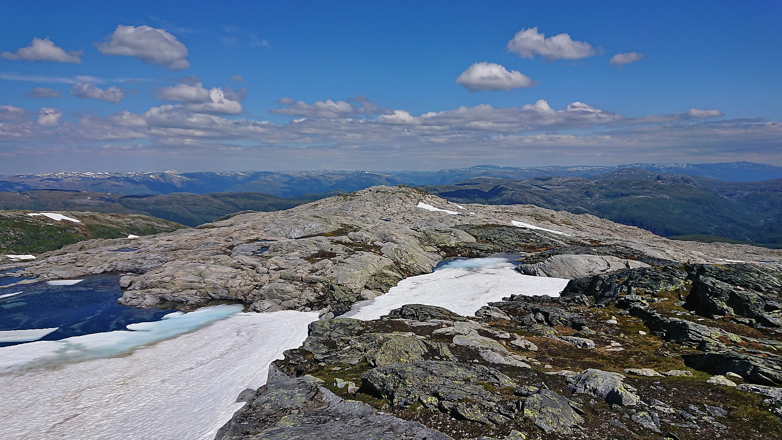
The summit area of Gråfjellet was fairly flat and consisted of several small hills of similar height, but the highest point was still easy to locate. After a quick break enjoying the views, I continued southwest along the ridge, partly following a weak trail/animal track, to reconnect with the marked trail and shortly after arrived at Høgabu. (At Gråfjellet I had considered heading directly towards Bergsbukken, but the terrain was quite steep and this option was quickly discarded.)
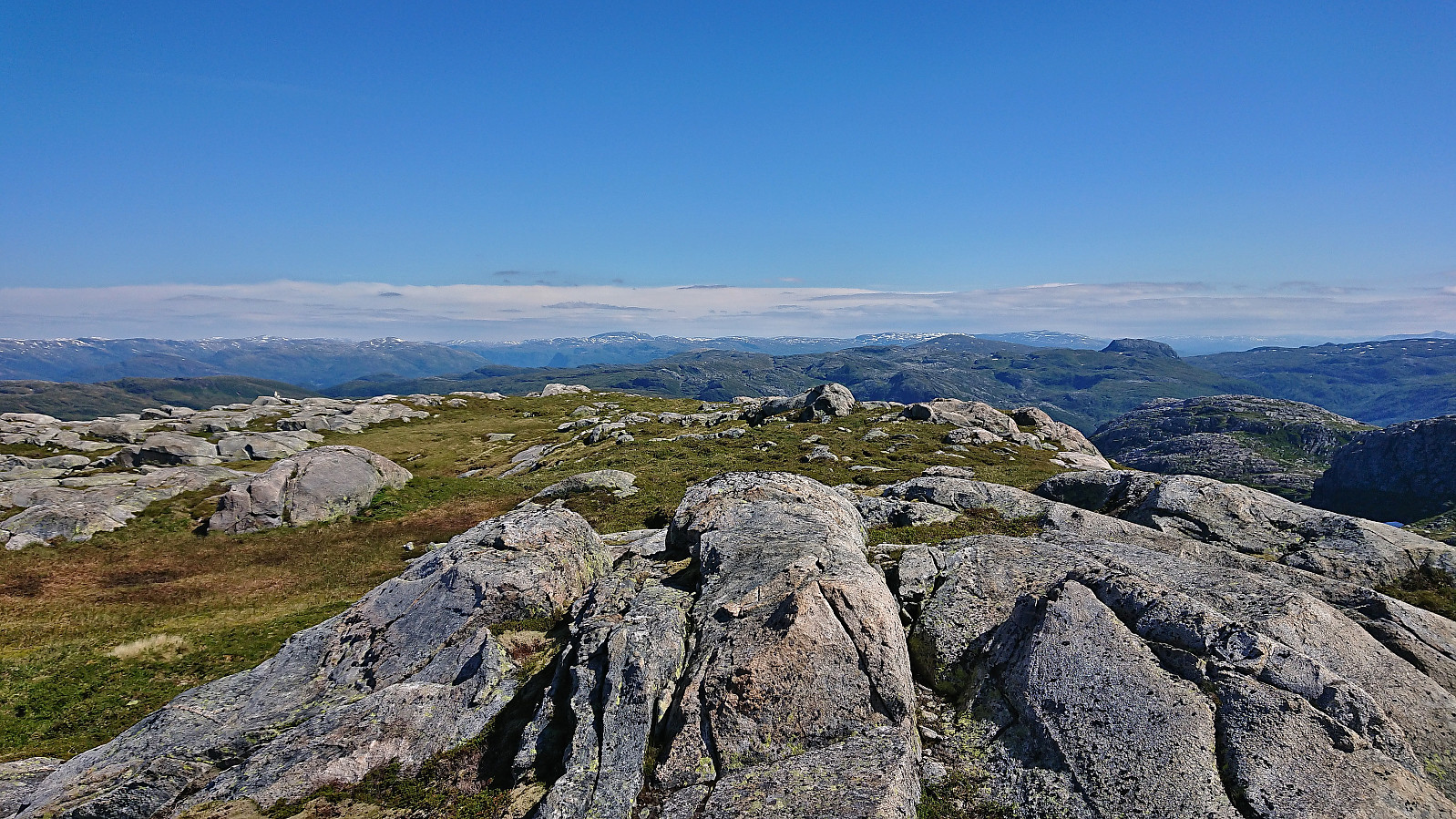
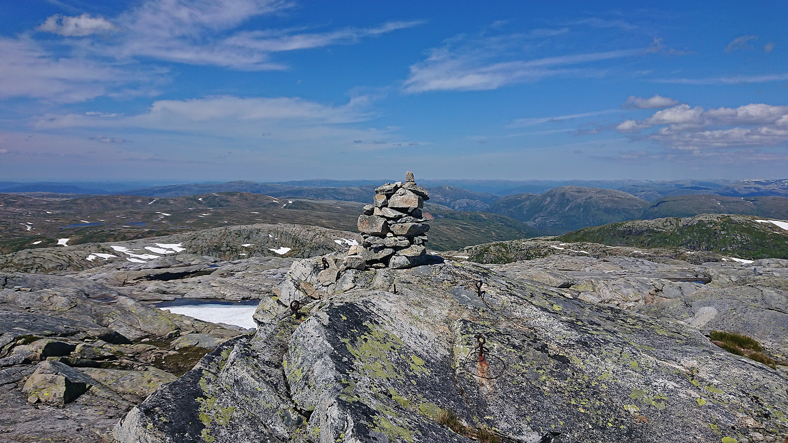
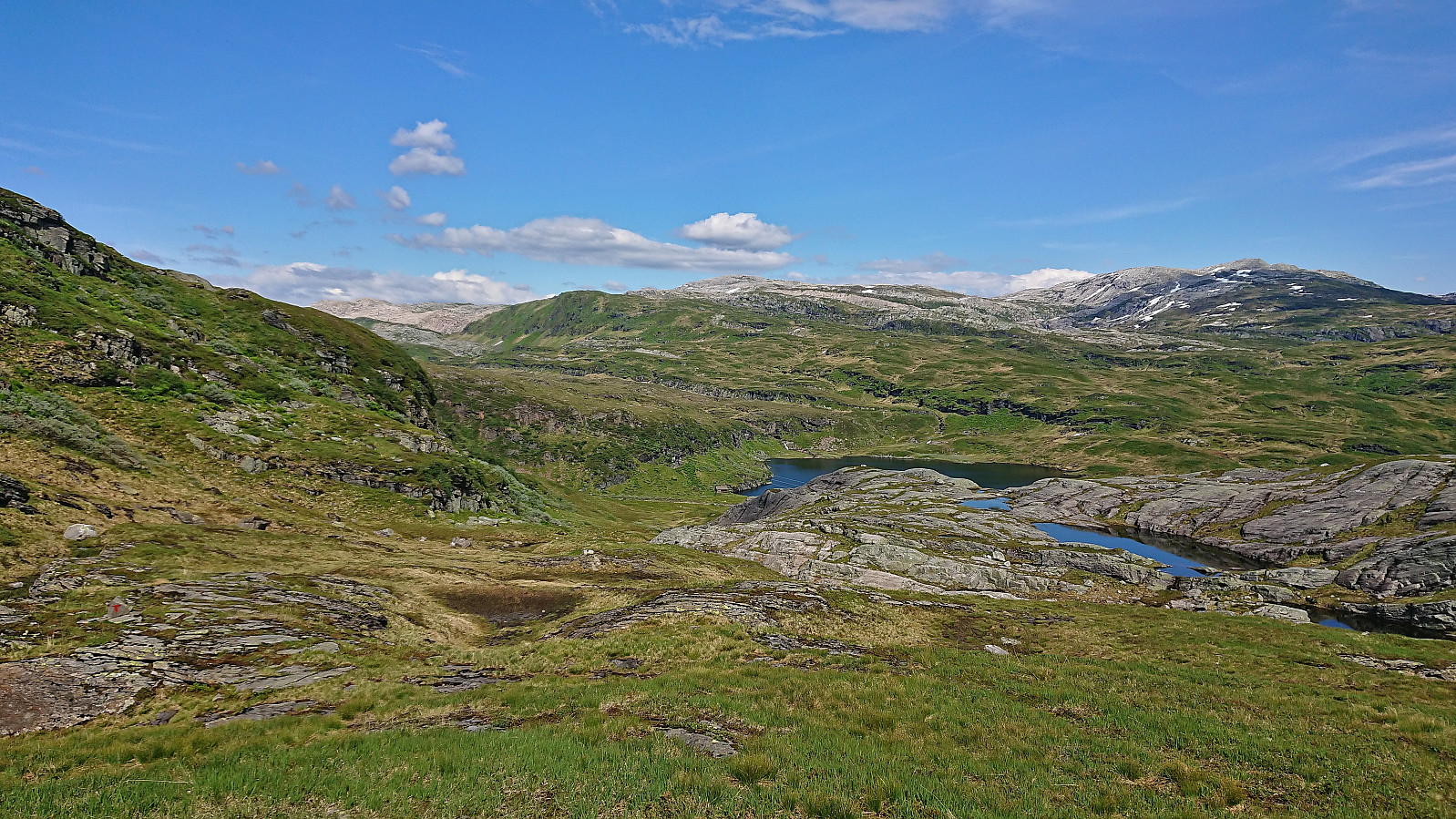
After a short chat with two other hikers at Høgabu, I continued to Bergsbukken. My initial plan had been to first follow the trail towards Gullhorgabu and make the final off-trail ascent from the southwest across Trollskaret. But after studying the terrain from Gråfjellet and seeing all of the snow covering the mentioned trail, I decided to instead simply head off-trail directly from Tjørnadalsvatnet right next to Høgabu. This turned out to be a good choice, as besides the first section where I had to navigate to find the best route in order to avoid scrambling, the terrain was overall very easy to hike and I shortly reached the summit without any challenges to speak of.
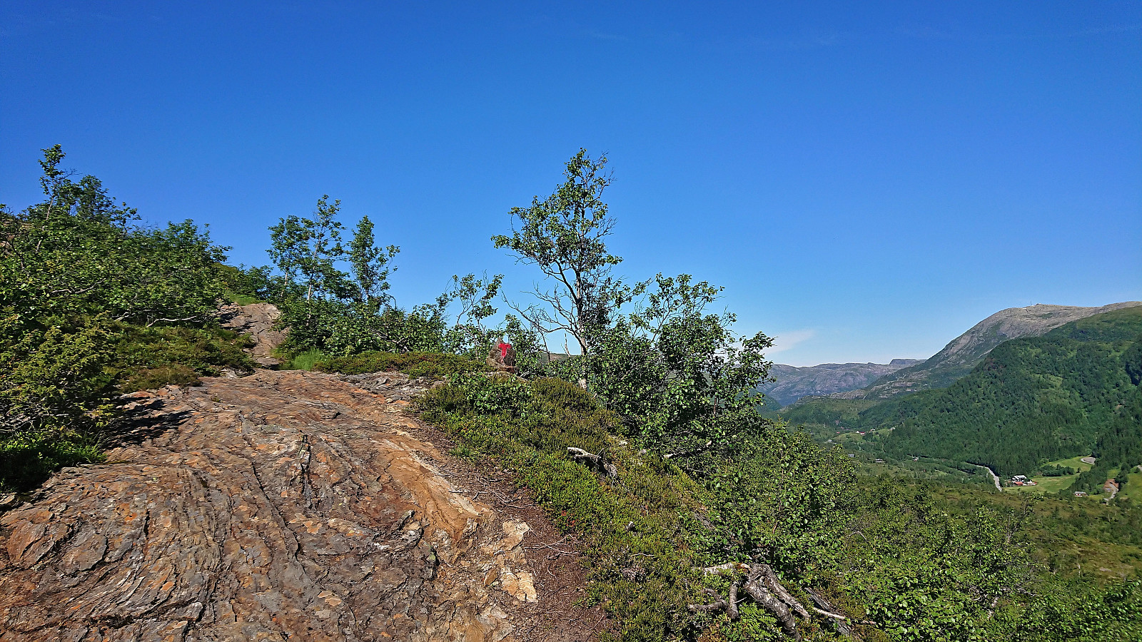
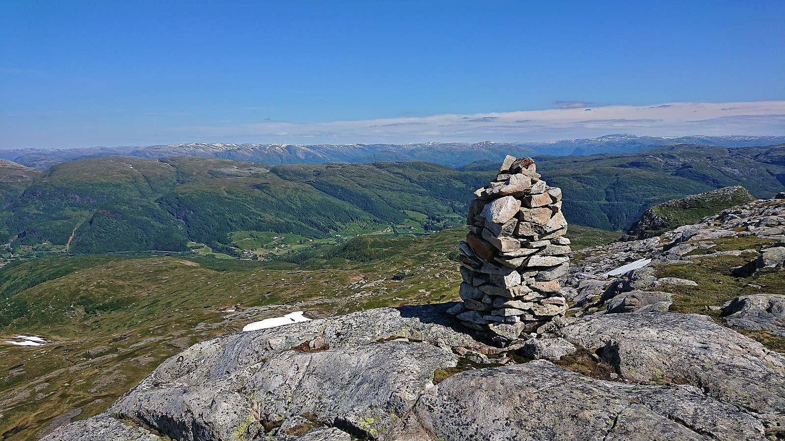
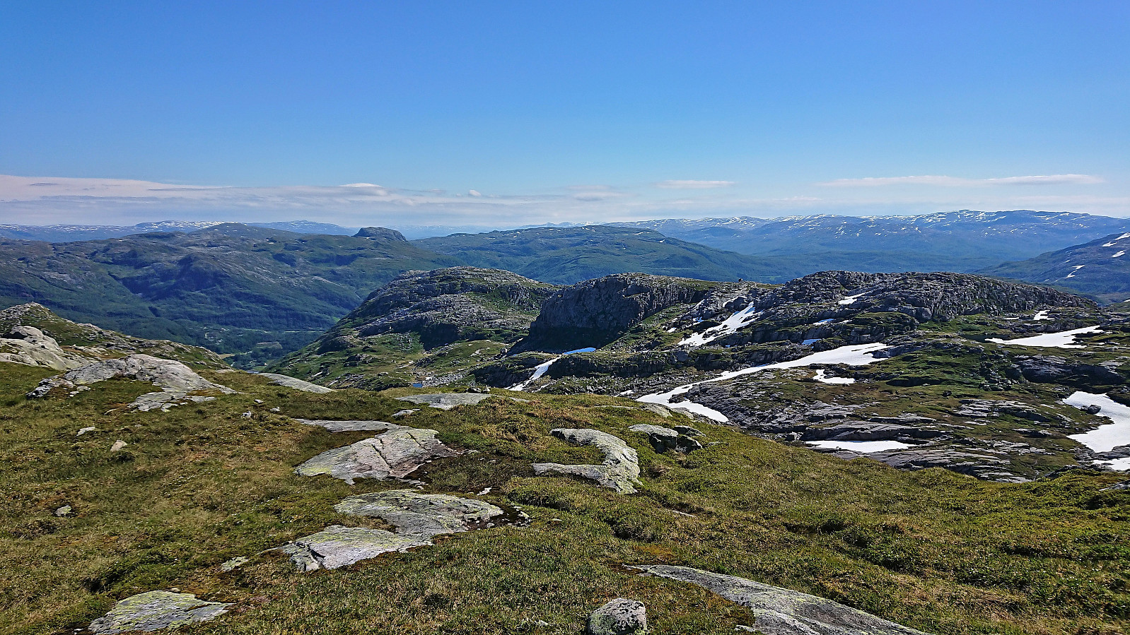
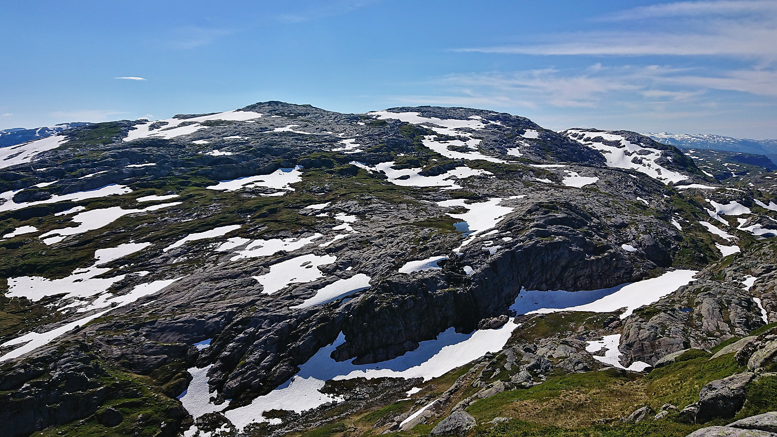
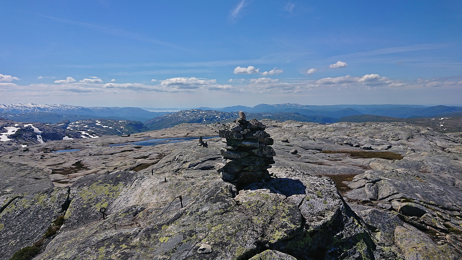
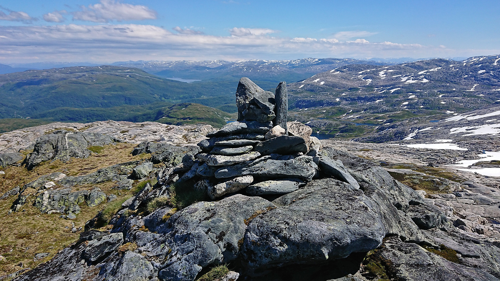
Excellent views from the summit and a great location for my lunch break. The wind had picked up a bit though, hence I ate my lunch just north of the summit where I was sheltered from the wind. For my descent and return to Høgabu, I decided to also include a visit of Liabukken, if only to not descend exactly the same way. Liabukken was easily reached and provided great views, however the cold wind made it a very short stop before continuing the descent.
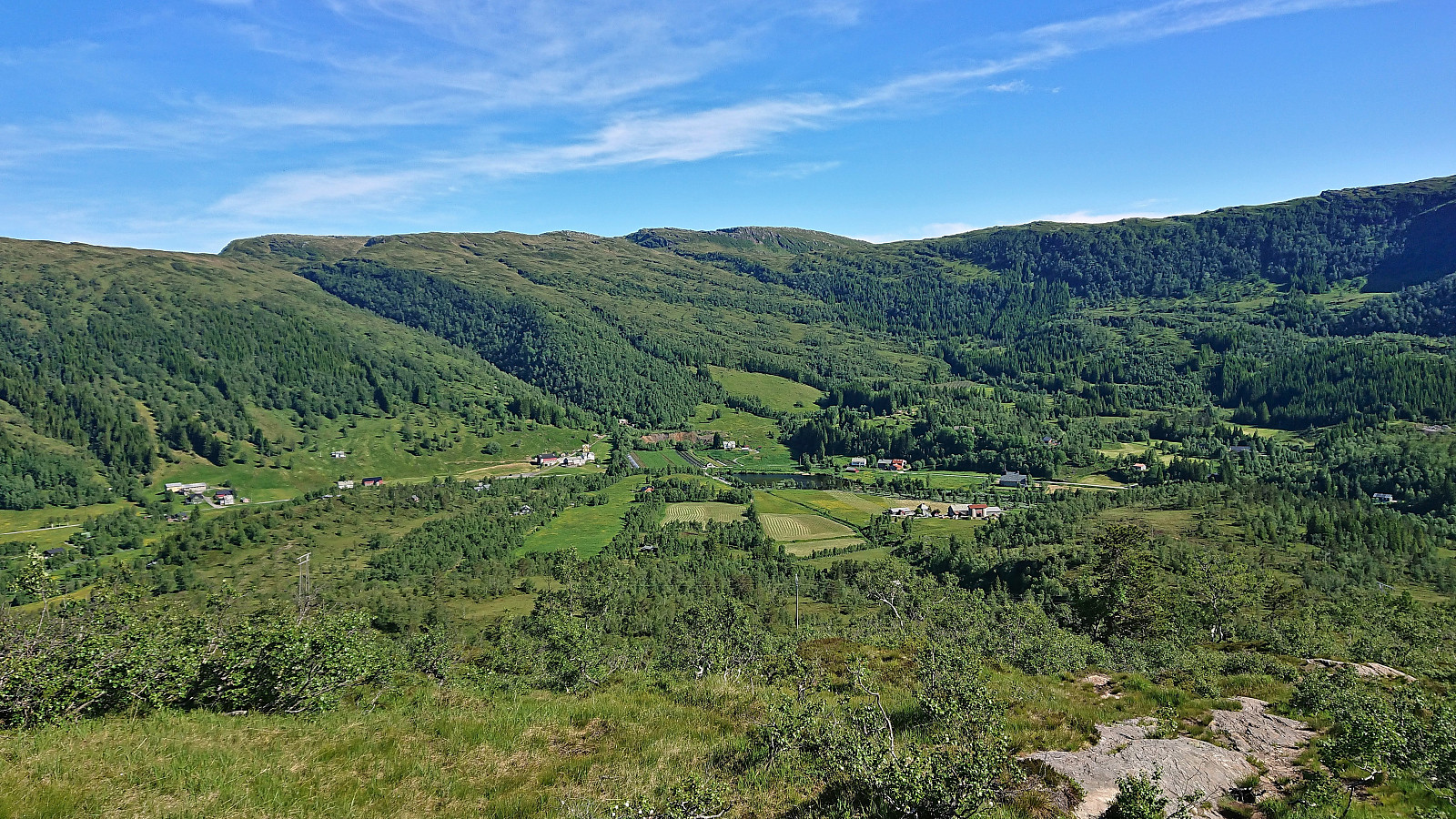
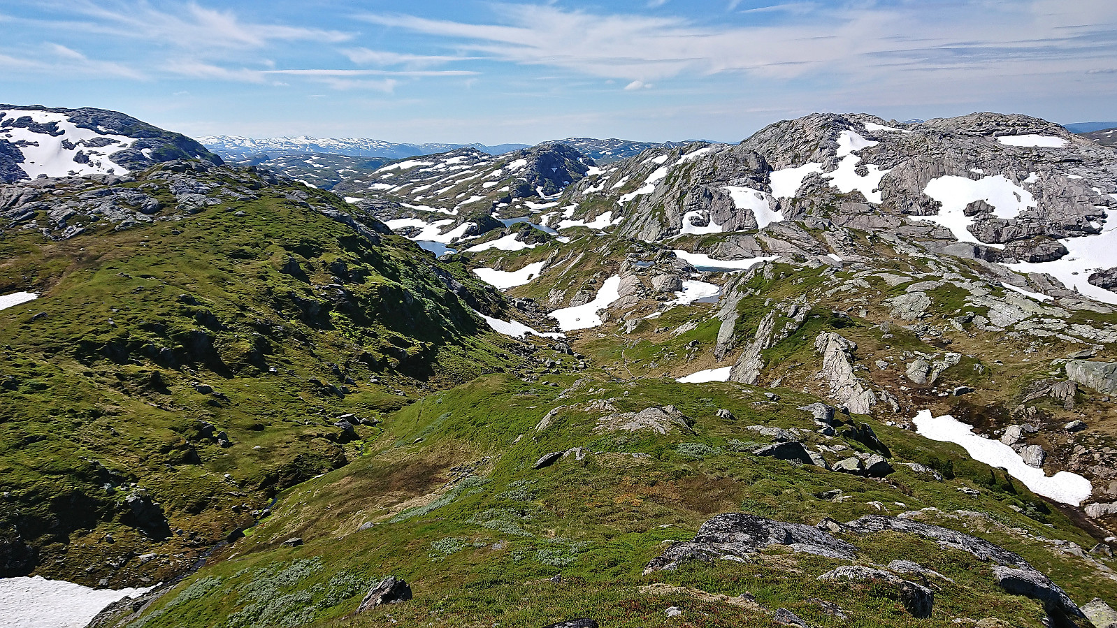
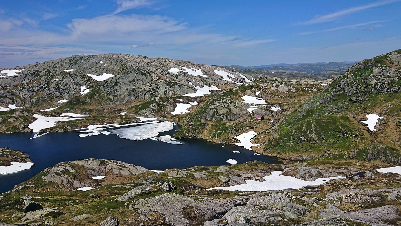
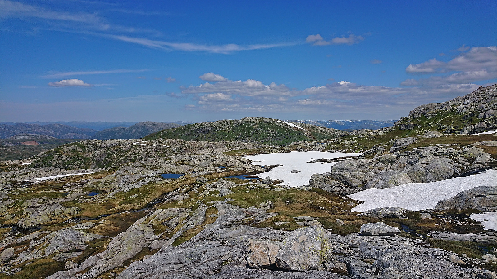
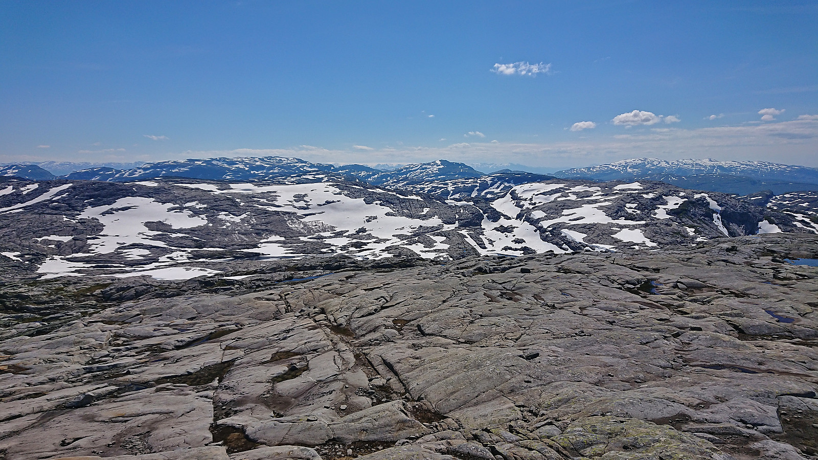
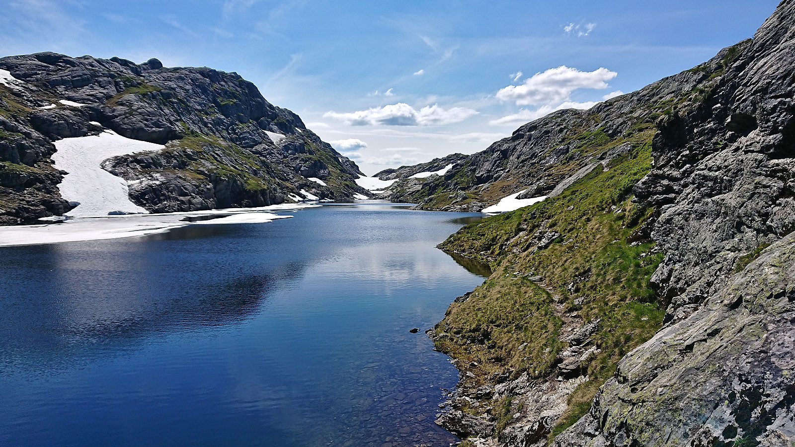
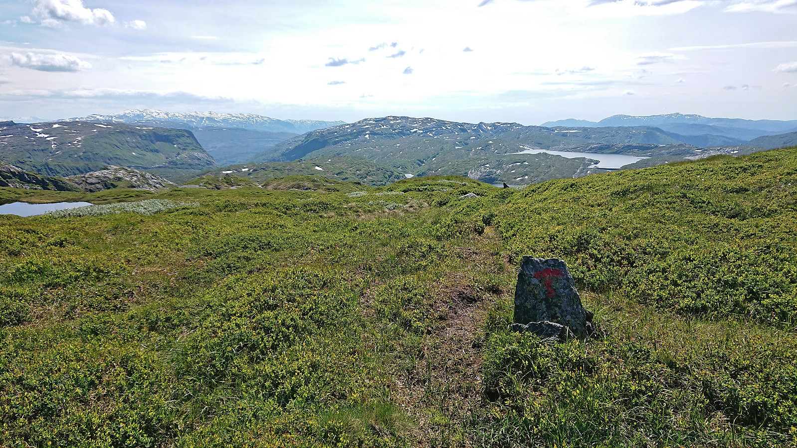
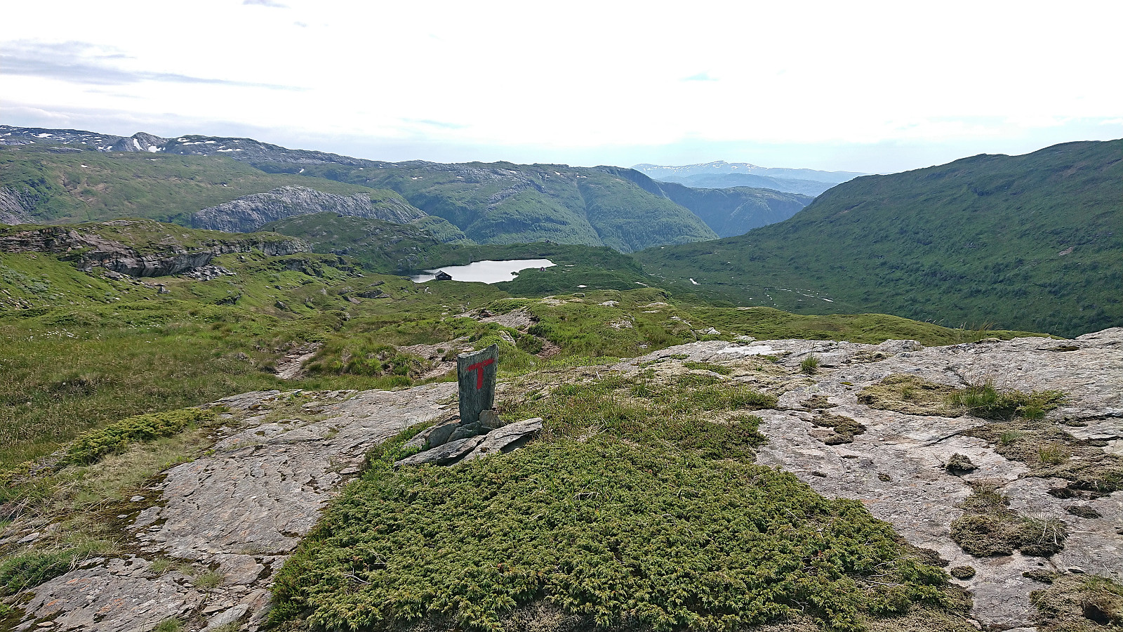
Back at Høgabu, I started southwest on the marked trail Vaksdal (as returning to Lid and Bergsdalen was not really an option due to there being no buses to Dale until Monday). To be honest I did not know what to expect for this part of the hike, as it was more of a necessary transportation stage and I had not investigated it in advance. However, the first half would be the highlight of the hike. The route started by trailing several small partly snow/ice-covered lakes, before following the ridge east of Grønalii providing spectacular views into valley to the west, and finally resulting in panoramic views down to Herfangen and beyond.
The last part of the hike, i.e. from Herfangen to Vaksdal via Herfinalen and its winding gravel road, was also very nice, but given that I had already done most of this already twice before, the novelty had worn off and it became more of a required transportation stage to get to the train station, which I did with 15 minutes to spare for the train back to Bergen.
In summary, an excellent long hike with spectacular views that can be very highly recommended! However, even though the main trail is marked with red T's, one still has to pay attention as the trail can be a bit weak at times. It is usually straightforward to relocate it though, as I did on a couple of occasions, as it more or less follows the route indicated on the map. Note that it is of course also possible to split the hike across multiple days by spending one or more nights at Høgabu.
| Starttidspunkt | 01.07.2022 09:54 (UTC+01:00 ST) |
| Sluttidspunkt | 01.07.2022 18:44 (UTC+01:00 ST) |
| Totaltid | 8t 49min |
| Bevegelsestid | 7t 39min |
| Pausetid | 1t 10min |
| Snittfart totalt | 3,2km/t |
| Snittfart bevegelsestid | 3,7km/t |
| Distanse | 28,3km |
| Høydemeter | 1326m |


Kommentarer