
Sveindalsnuten, Blåkoll, Flatafjellet and Kiellandbu (24.06.2022)

Written by hbar (Harald Barsnes)

| Start point | Hodnaberg (589m) |
|---|---|
| Endpoint | Hodnaberg (589m) |
| Characteristic | Hillwalk |
| Duration | 6h 55min |
| Distance | 20.0km |
| Vertical meters | 1,195m |
| GPS |
|
| Ascents | Blåkoll (1,082m) | 24.06.2022 |
|---|---|---|
| Flatafjellet (1,044m) | 24.06.2022 | |
| Sveindalsnuten (1,063m) | 24.06.2022 | |
| Visits of other PBEs | Kiellandbu (905m) | 24.06.2022 |
| Nedre Kvålsdalstjørni bro (768m) | 24.06.2022 |
Sveindalsnuten, Blåkoll, Flatafjellet and Kiellandbu
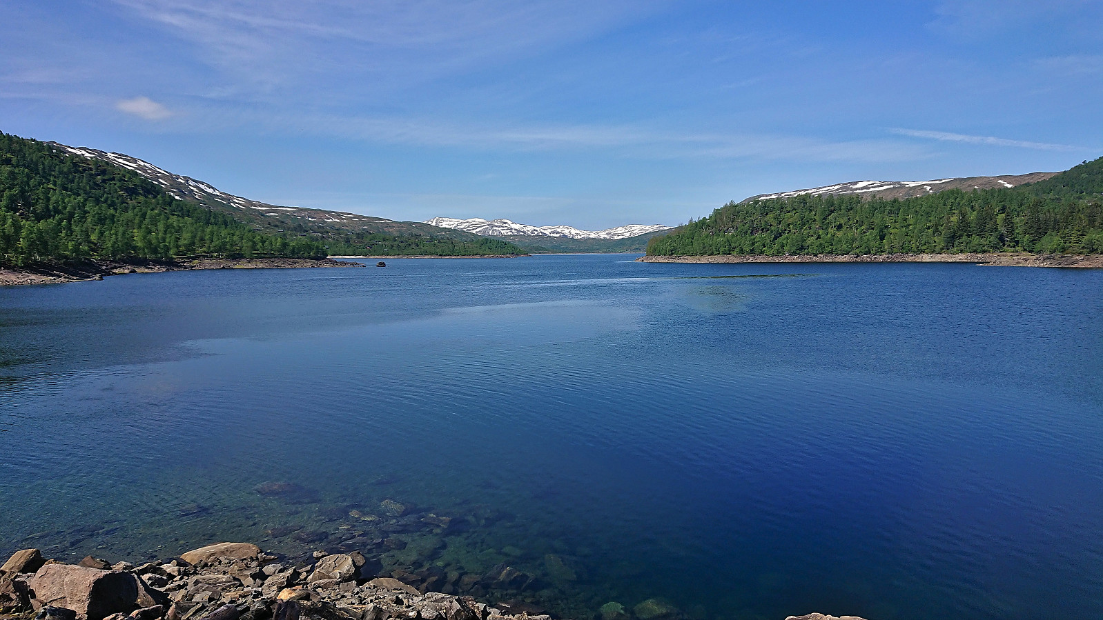
After spending all of the previous Saturday at work, it was in easy choice to take the following Friday off when the weather forecast for Bergen predicted blue skies and close to 30 degrees. Three other colleagues were quickly convinced to join and we settled on ascending to Kiellandbu from Hodnaberg, with my own goal of also visiting at least a couple of new summits in the area.
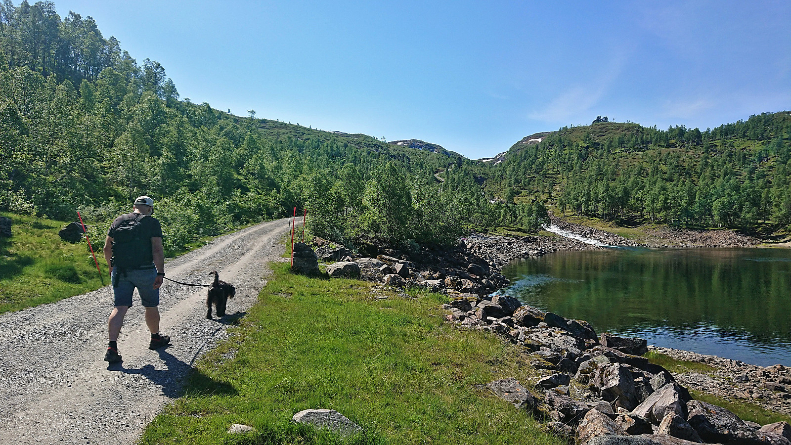
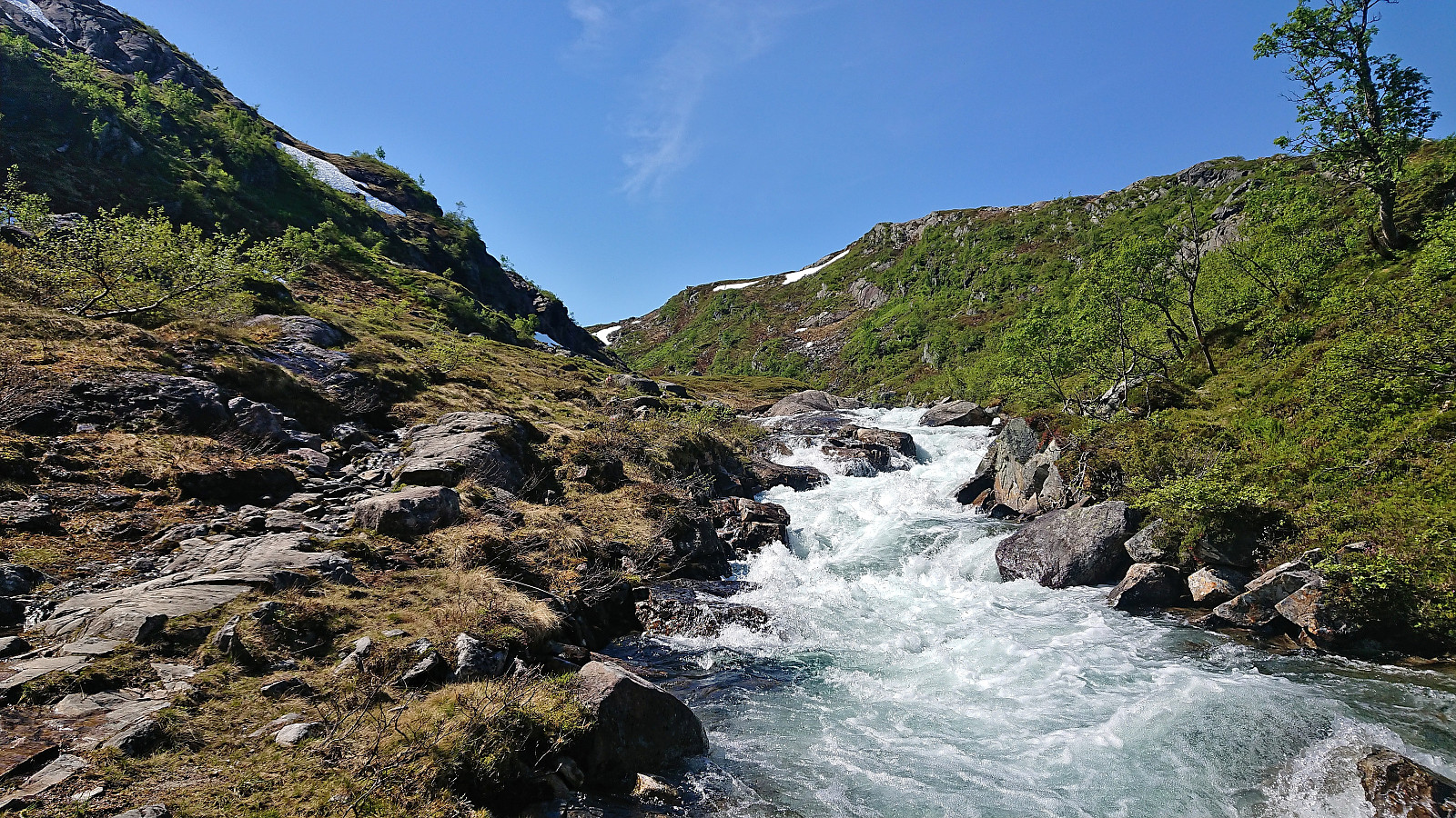
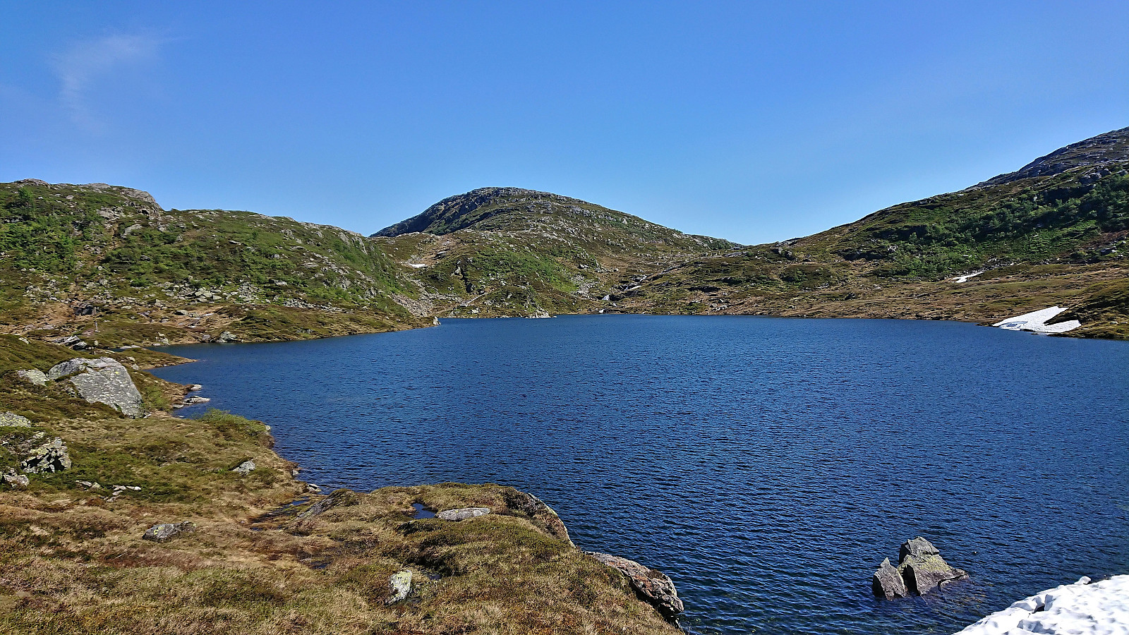
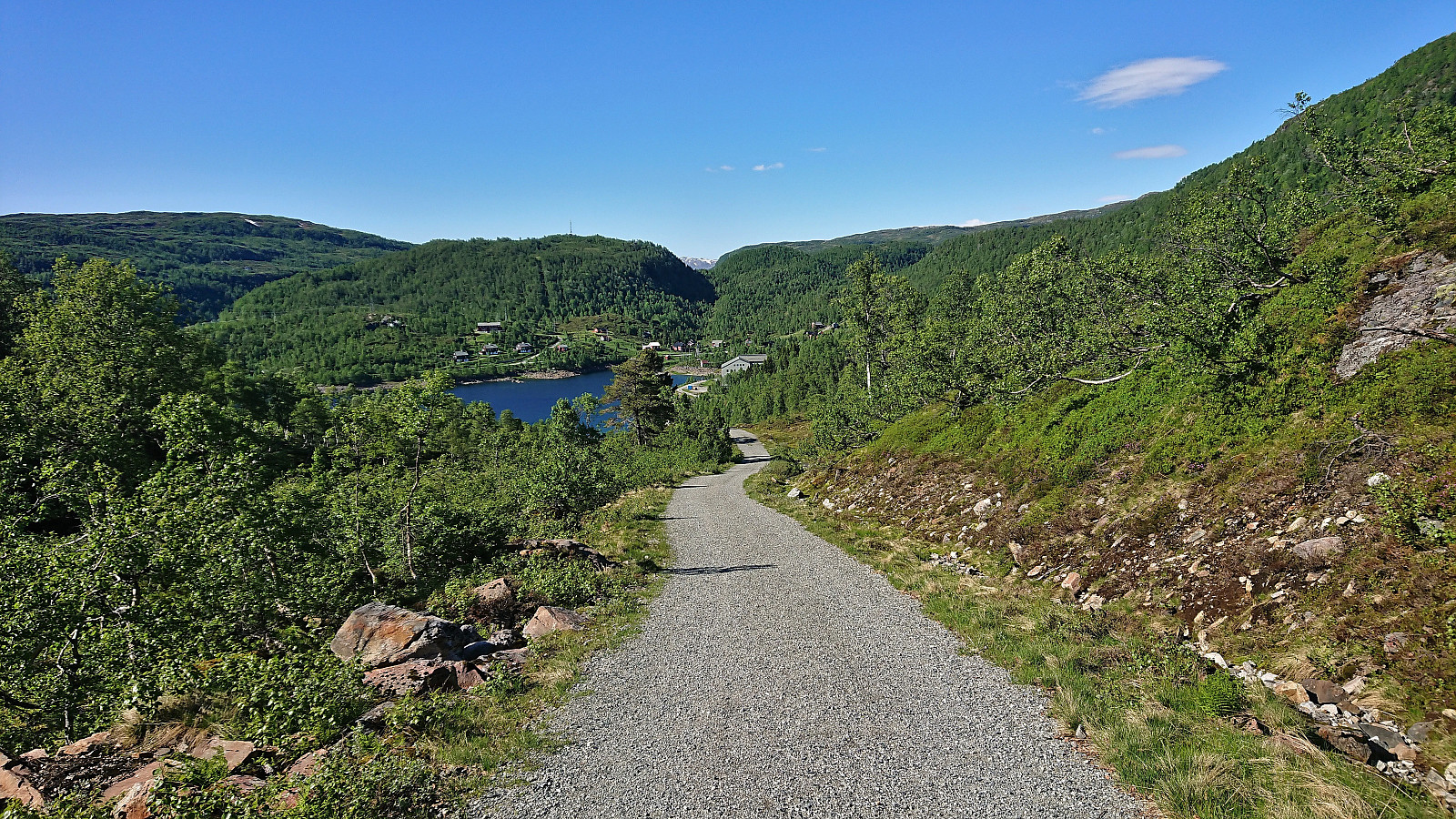
We parked next to the power station at Hodnaberg and started by following the gravel road south. After a short steep incline, we left the gravel road and continued on the marked trail to Kiellandbu, enjoying the excellent views along the river. Before reaching Nedre Kvålsdalstjørni, we decided to split into two pairs, given that it was only me and one other colleague that were interested in a slightly longer hike that also included visits of some of the surrounding summits. Our other two colleagues where more than happy to simply follow the trail to Kiellandbu, take a longer break there, and return along the same route.
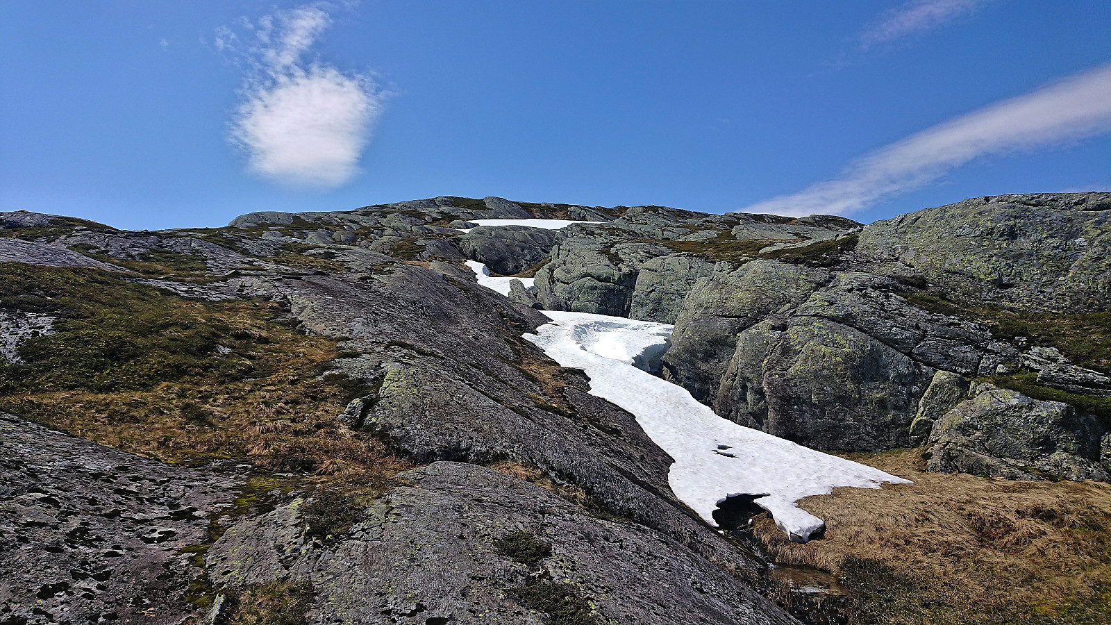
The two of us going for longer hike, increased our speed, and quickly left the others behind. We continued along the trail to Kiellandbu until getting to the top of a small hill where the trail shortly descended. Here we left the trail and instead headed off-trail for the final 800 meters to the summit of Sveindalsnuten, which was reached without any issues.
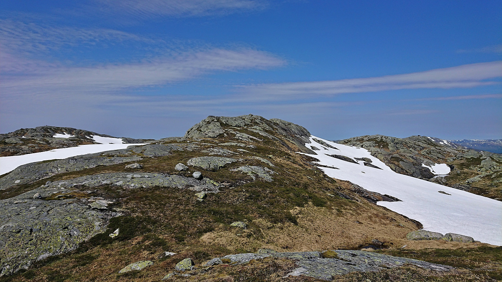
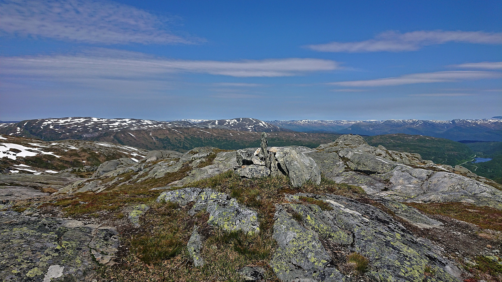
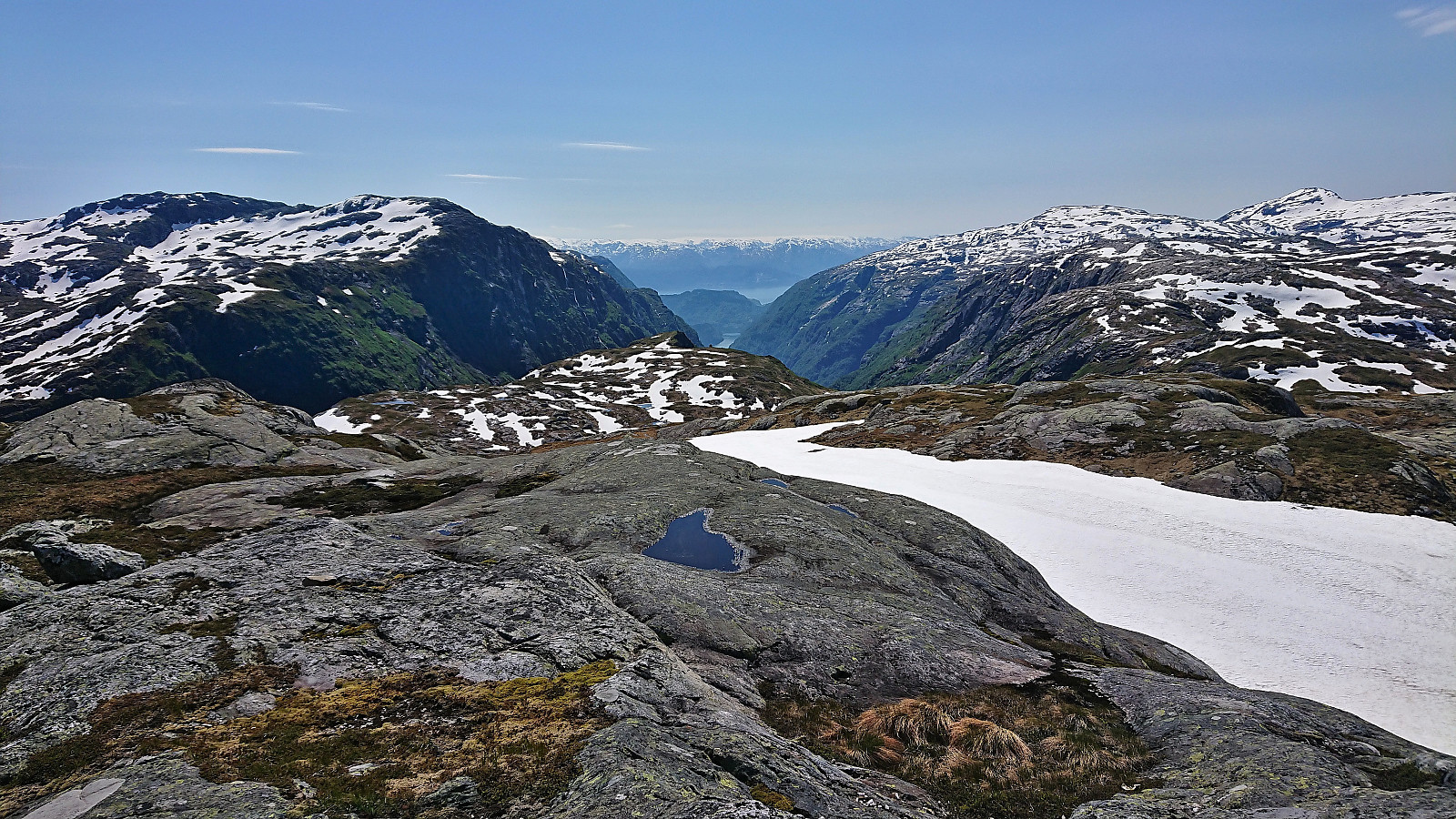
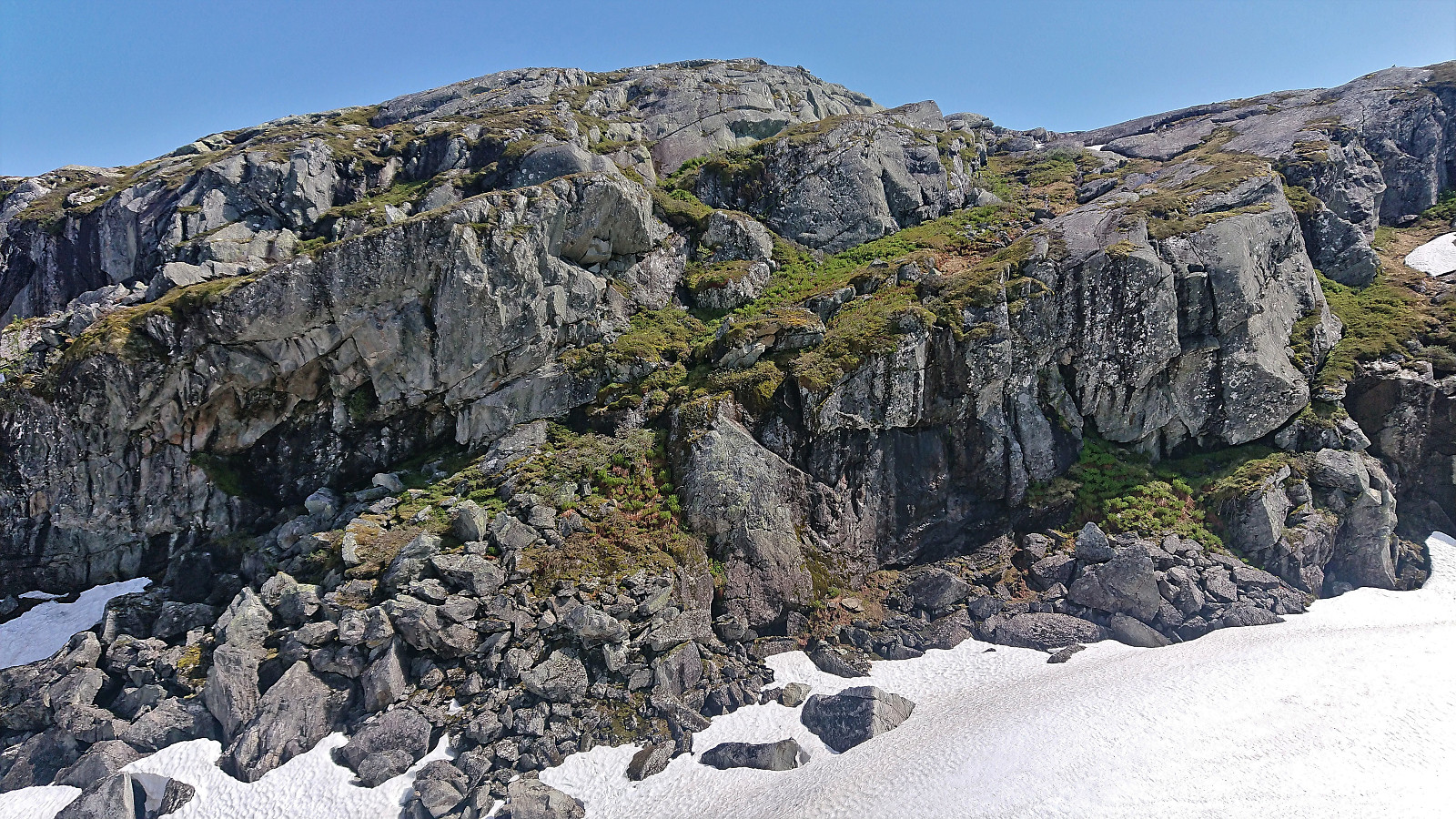
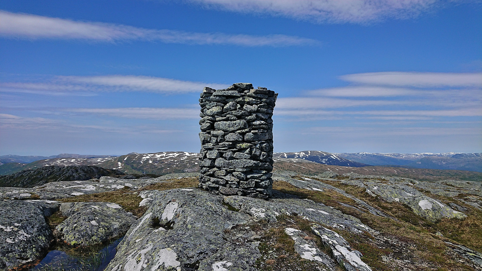
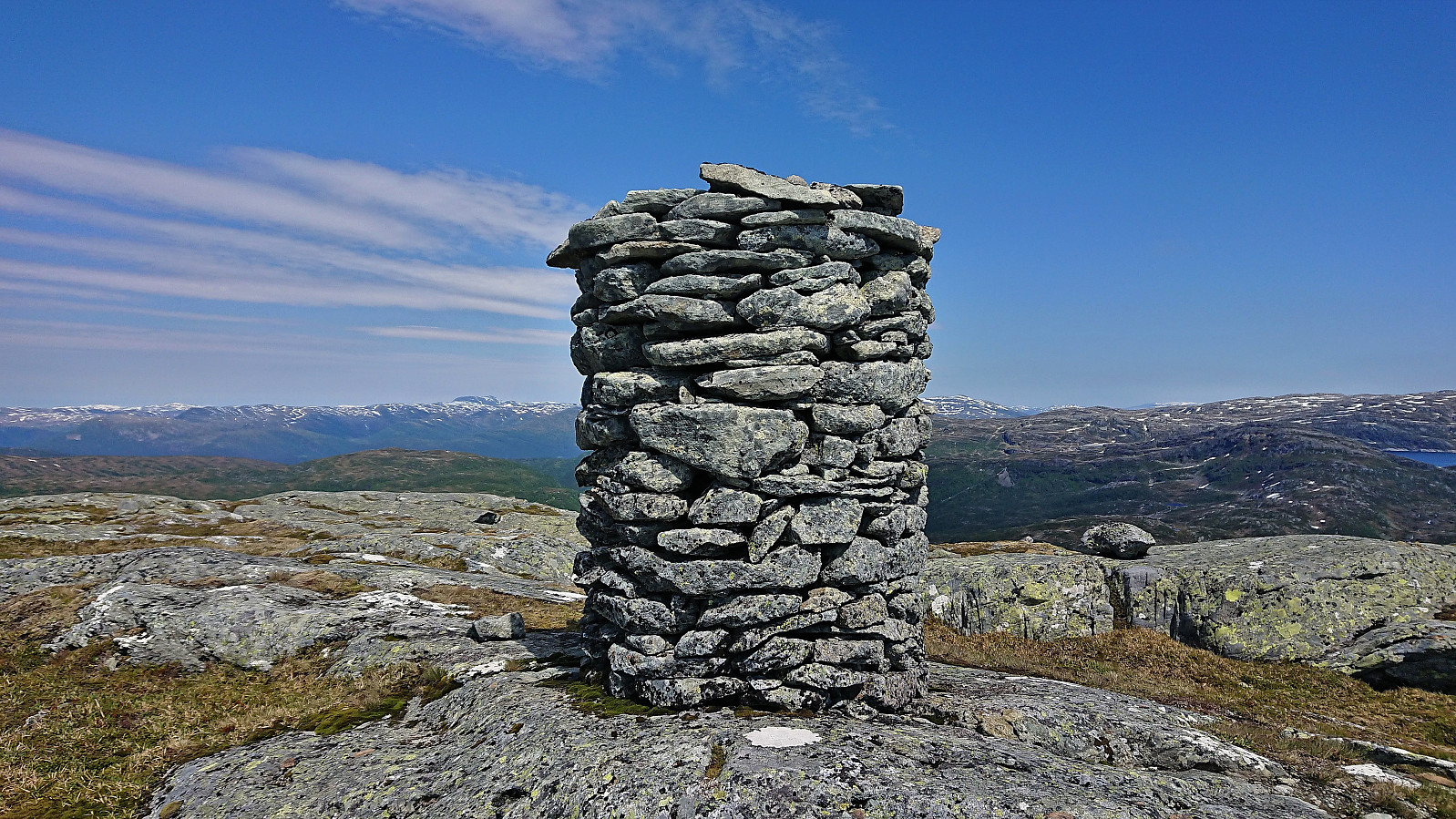
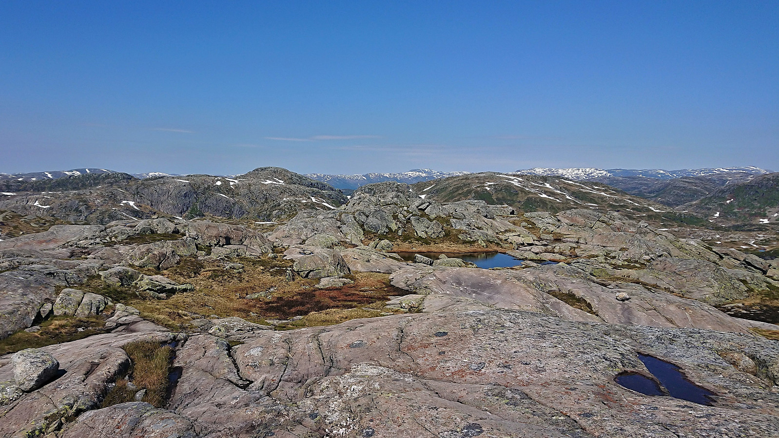
After a short break at the summit, we headed directly east towards our next goal, namely Blåkoll. Here the terrain was slightly more challenging, especially the final descent into the valley between the two summits. But by spending a bit of time to pick the right route it could be done without too much trouble. There was even a small cairn half way down the descent seemingly marking the recommended route. The start of the ascent to Blåkoll required a short bit of easy scrambling, but after that it was straightforward to get to the surprisingly large cairn marking the summit.
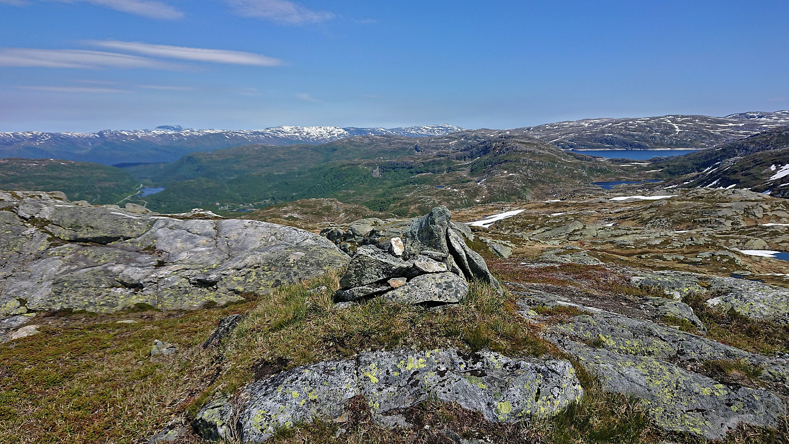
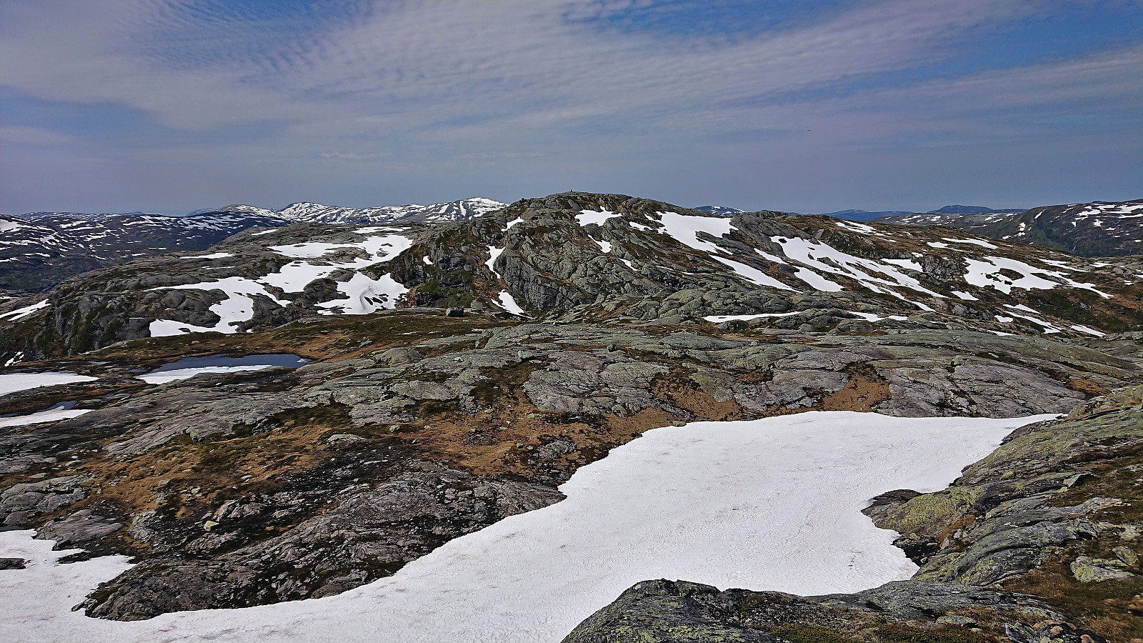
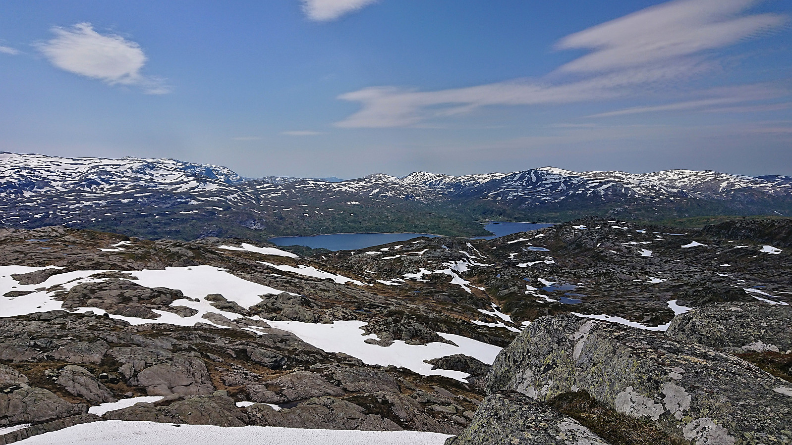
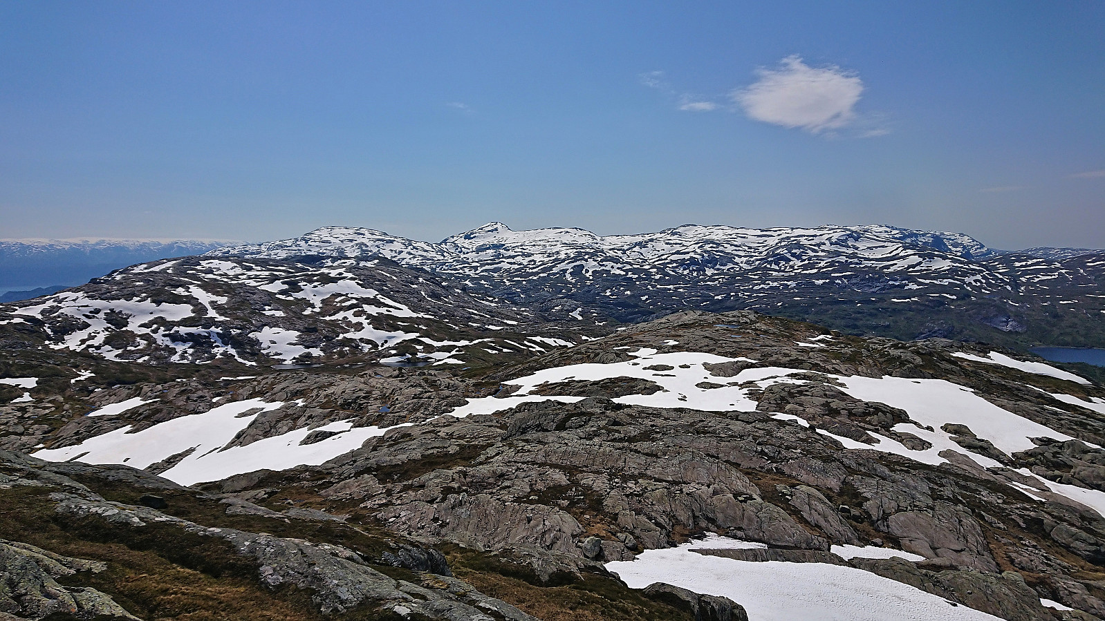
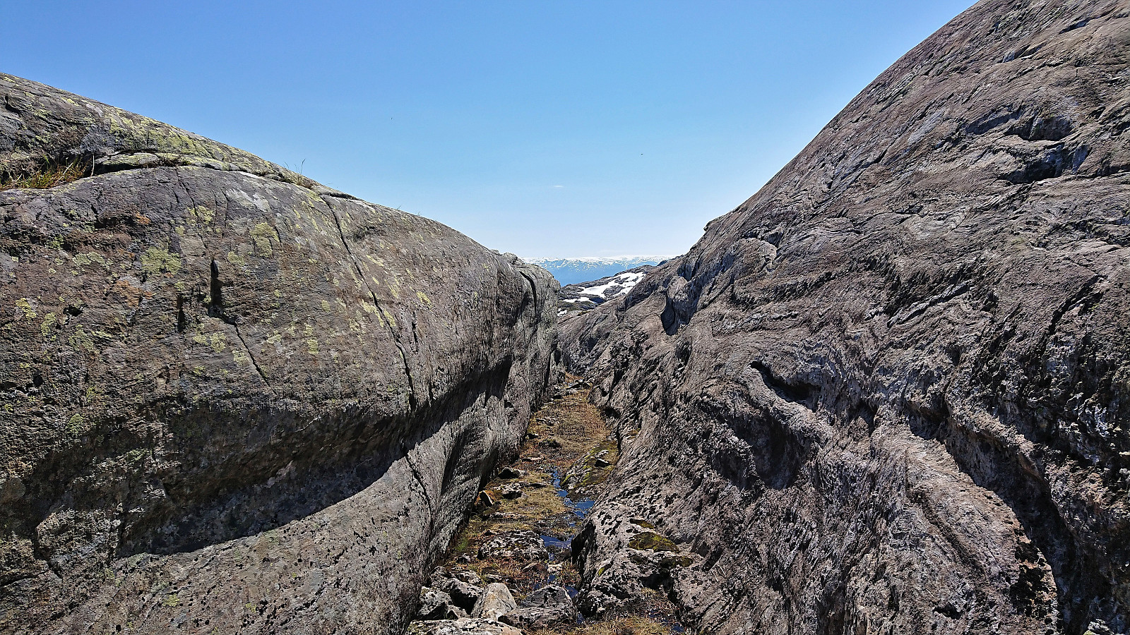
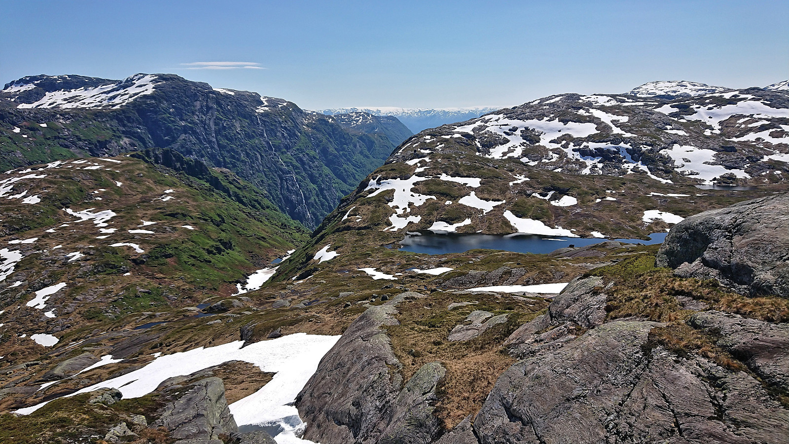
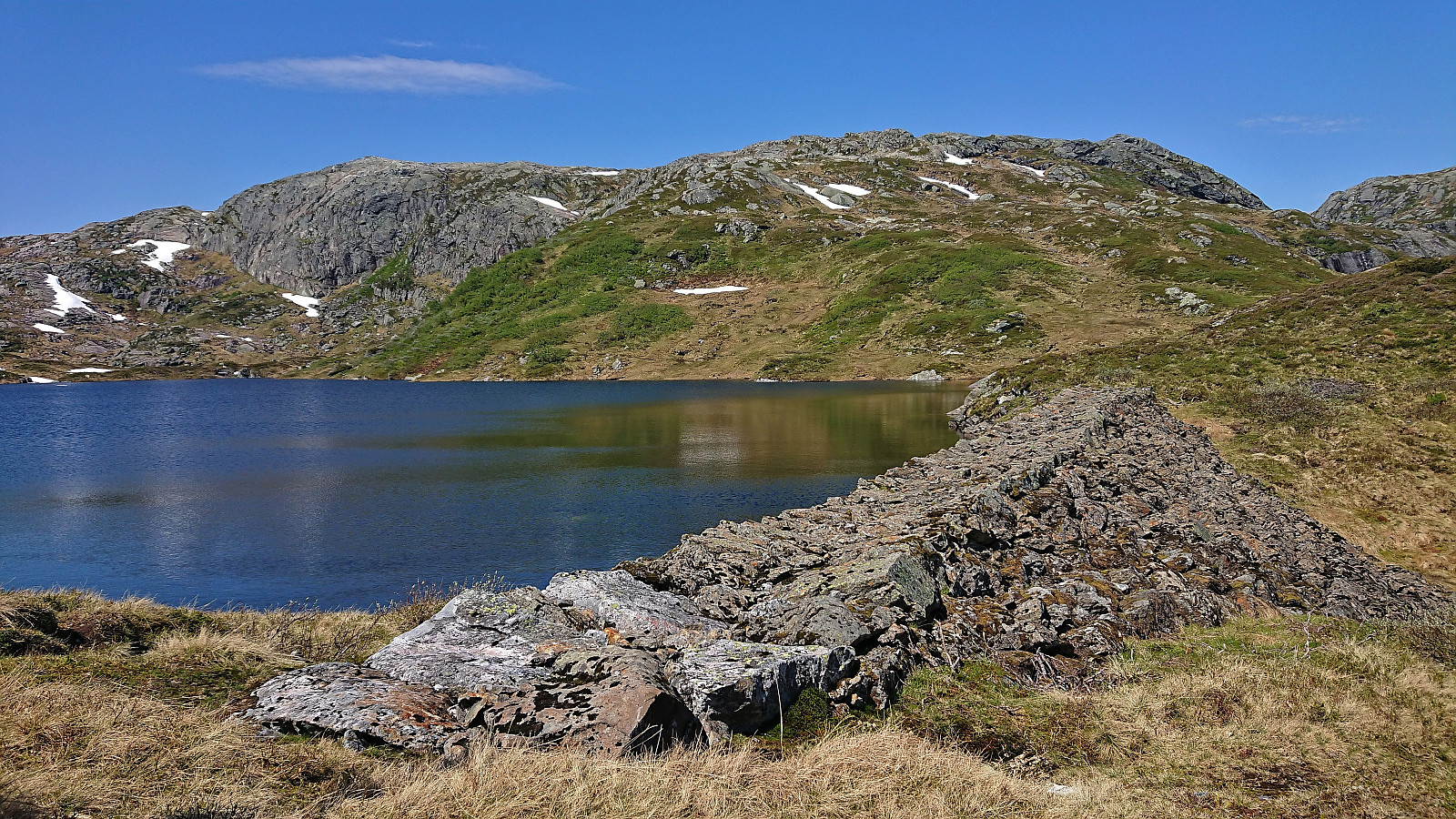
From Blåkoll we descended more or less in a direct line to Løkjesdalstjørnane. This was overall straightforward, where the most interesting section was walking inside relatively narrow gorge that seemed to provide the easiest route. At Løkjesdalstjørnane, we directly started our ascent to the third and final summit of the day, the perhaps slightly incorrectly named Flatafjellet. At least there were several minor ups and downs to traverse as we made our way to the highest point, which we arrived at without any real challenges.
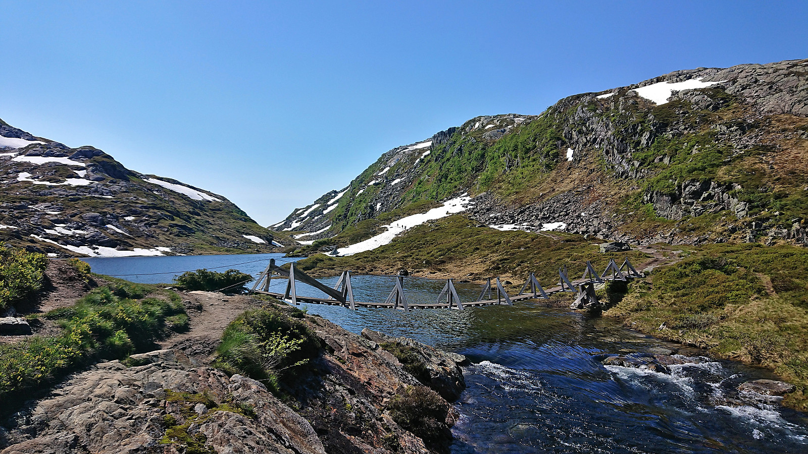
At the summit of Flatafjellet, we took a short late lunch break before starting our descent following more or less the same route as for the ascent, but this time making use of the remaining patches of snow to increase our speed. When returning to Løkjesdalstjørnane, we quickly located the marked trail to Kiellandbu, and while the trail shortly disappeared on our way down to Løkjesdalen, partly due to patches of snow, it was overall easy to follow and we soon arrived at the bottom of the valley.
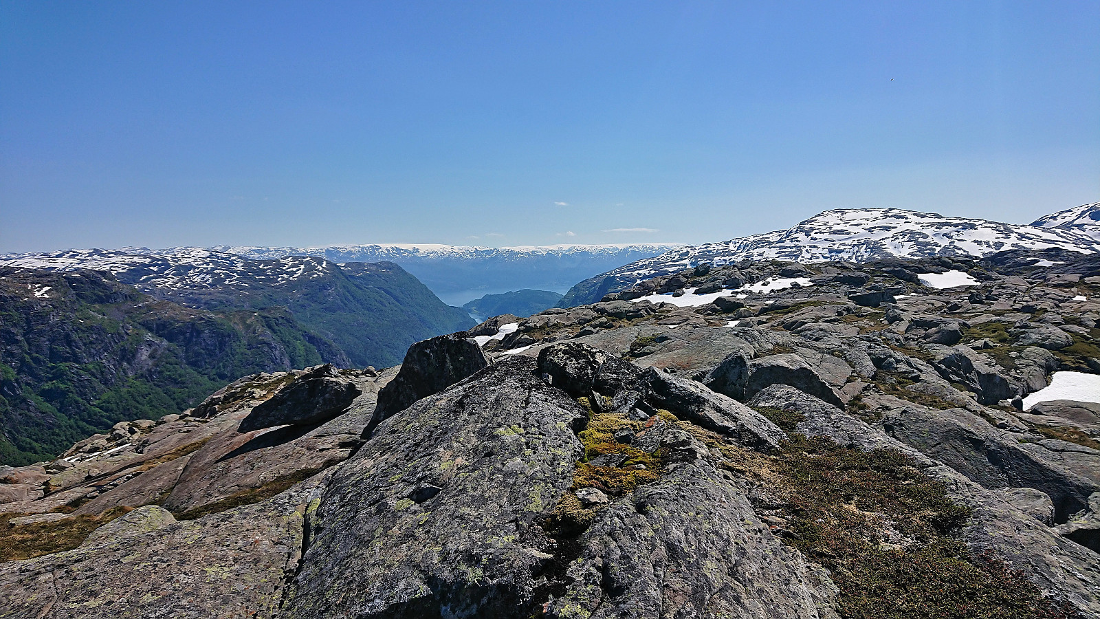
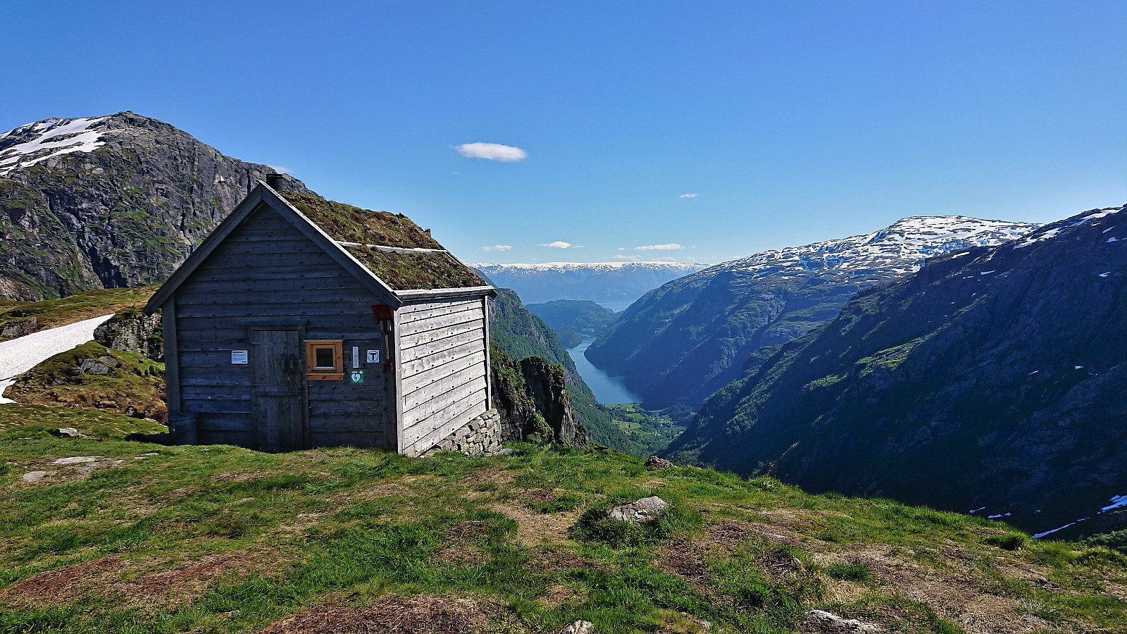
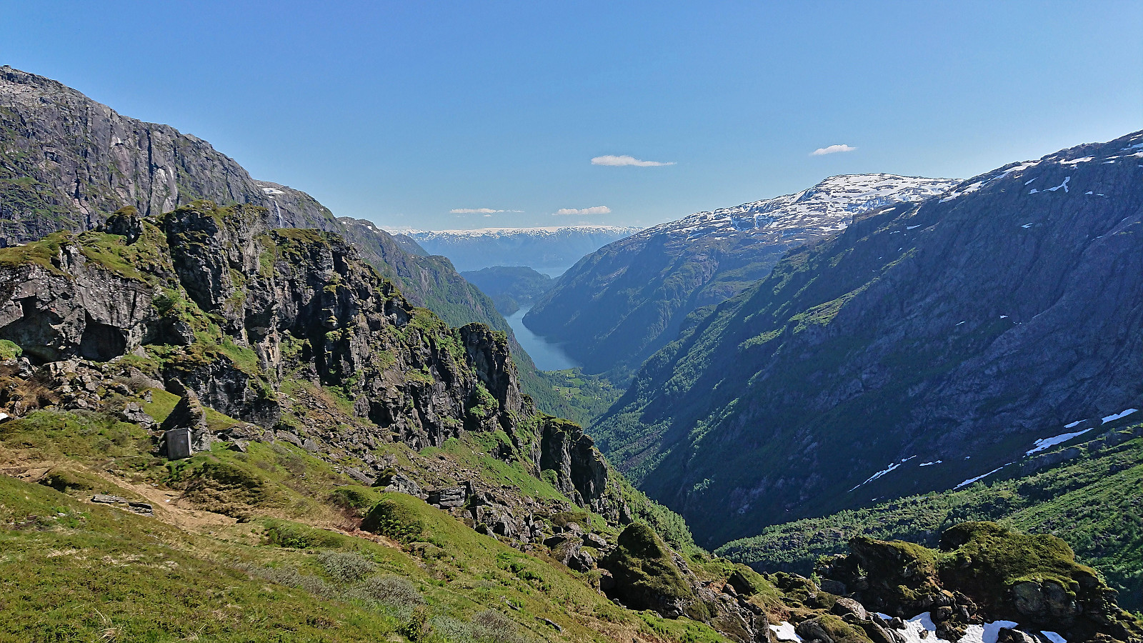
Here we filled up on water while agreeing that the ascent up to Kiellandbu looked much longer from down here than what it had done from Flatafjellet. But at least we managed to make our own off-trail shortcut that took us directly to the cabin, instead of the slightly longer route along the marked trail. Kiellandbu provided the expected excellent views down to Botnen and Fyksesund, and is clearly a spectacular location for a DNT-cabin. After another short break, we began our descent along the marked trail back to the car at Hodnaberg, catching up with our colleagues at the parking lot where they had arrived just minutes before us after enjoying an extended break at Kiellandbu.
In summary, an excellent hike that can be very highly recommended!
| Start date | 24.06.2022 10:54 (UTC+01:00 DST) |
| End date | 24.06.2022 17:50 (UTC+01:00 DST) |
| Total Time | 6h 55min |
| Moving Time | 5h 50min |
| Stopped Time | 1h 04min |
| Overall Average | 2.9km/h |
| Moving Average | 3.4km/h |
| Distance | 20.0km |
| Vertical meters | 1,195m |


User comments