
Skåpet and Svartliåsen (11.06.2022)

Skrevet av hbar (Harald Barsnes)

| Startsted | Gullbotn (245moh) |
|---|---|
| Sluttsted | Gullbotn (245moh) |
| Turtype | Fjelltur |
| Turlengde | 1t 38min |
| Distanse | 5,1km |
| Høydemeter | 267m |
| GPS |
|
| Bestigninger | Skåpet (385moh) | 11.06.2022 |
|---|---|---|
| Svartliåsen (323moh) | 11.06.2022 |
Skåpet and Svartliåsen
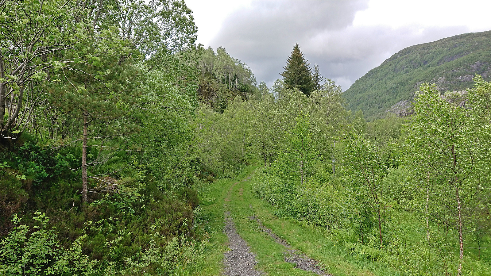
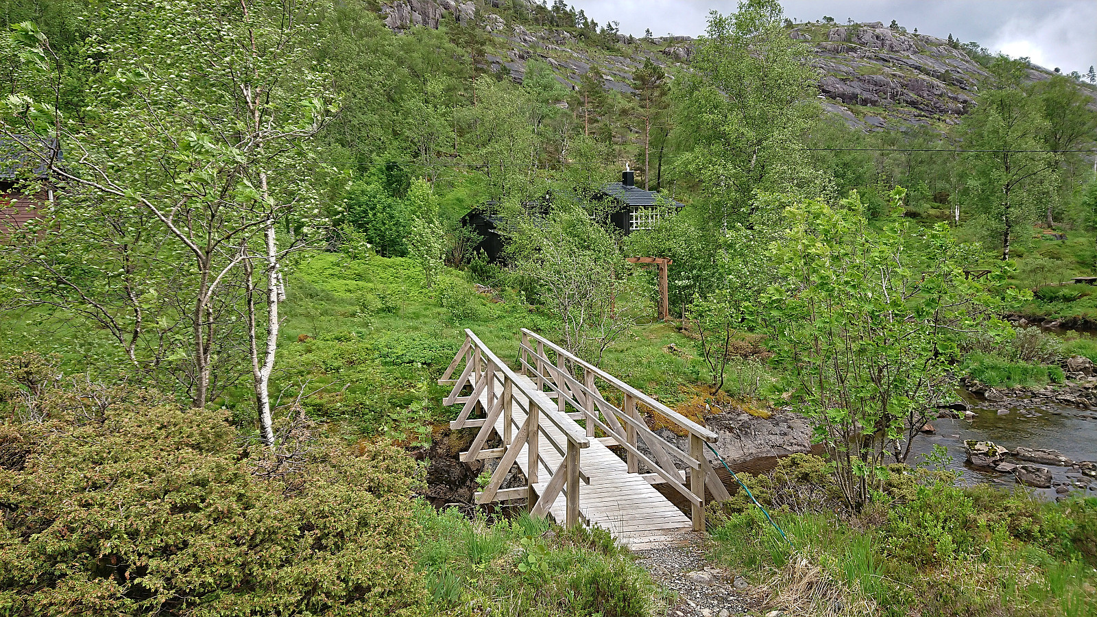
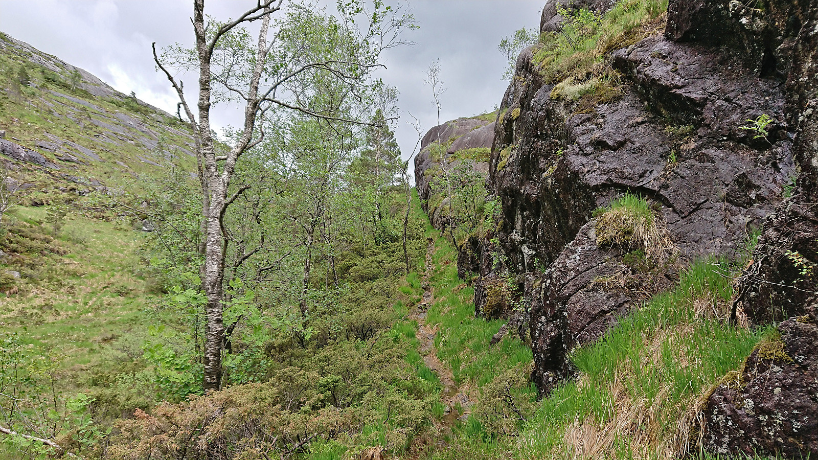
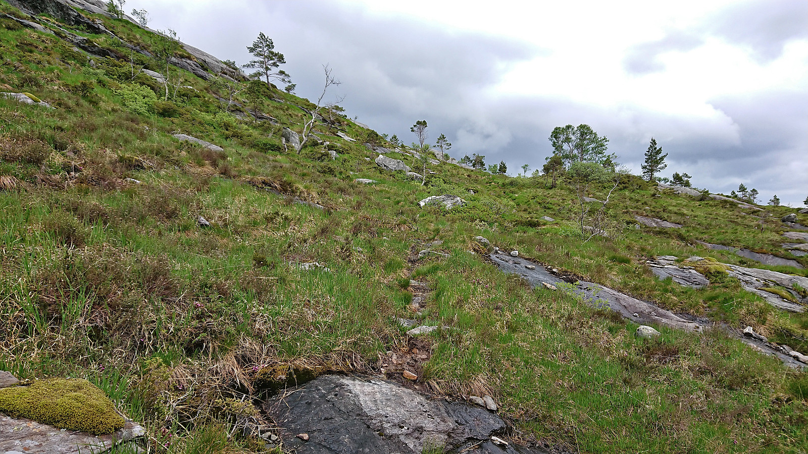
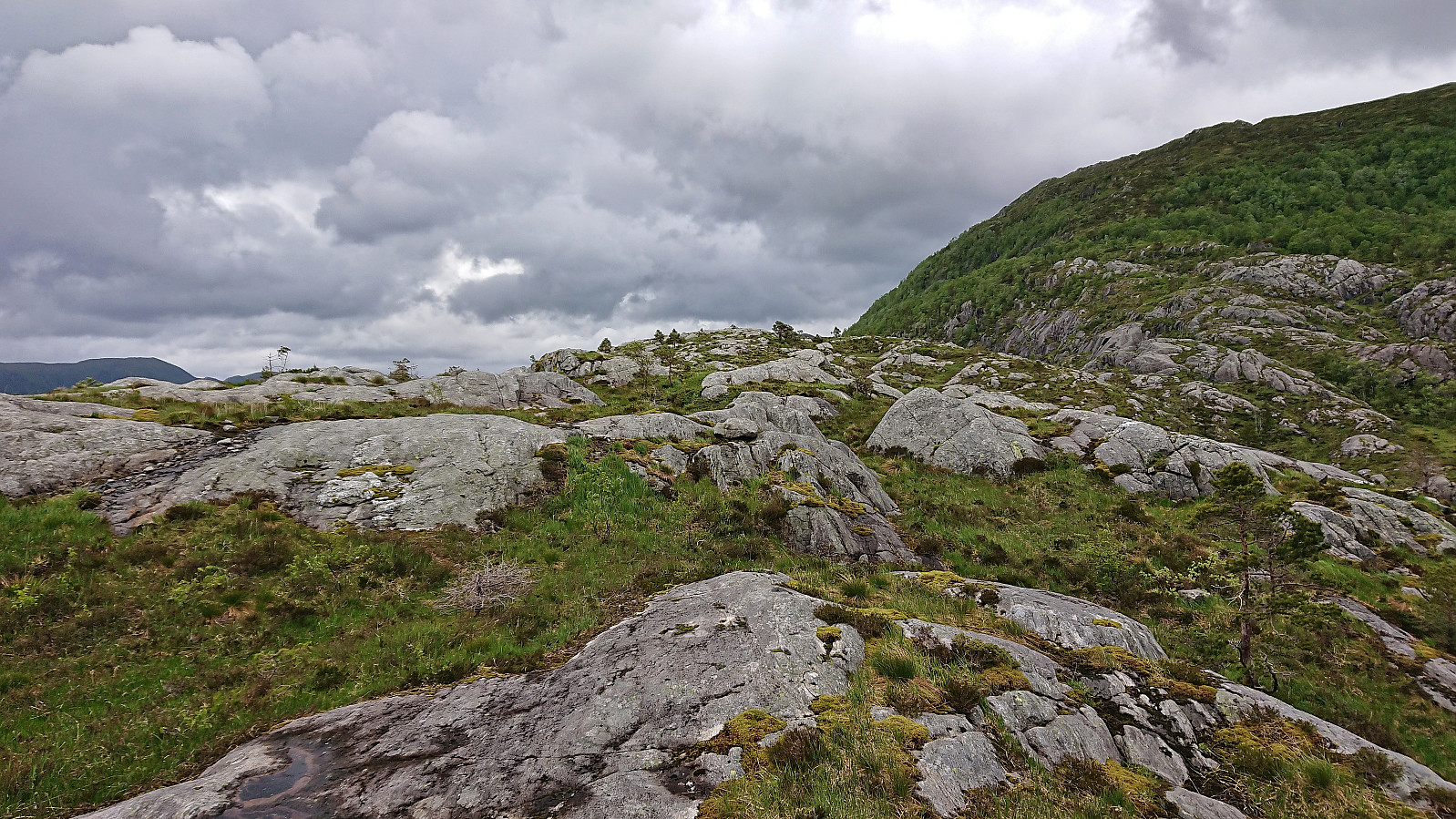
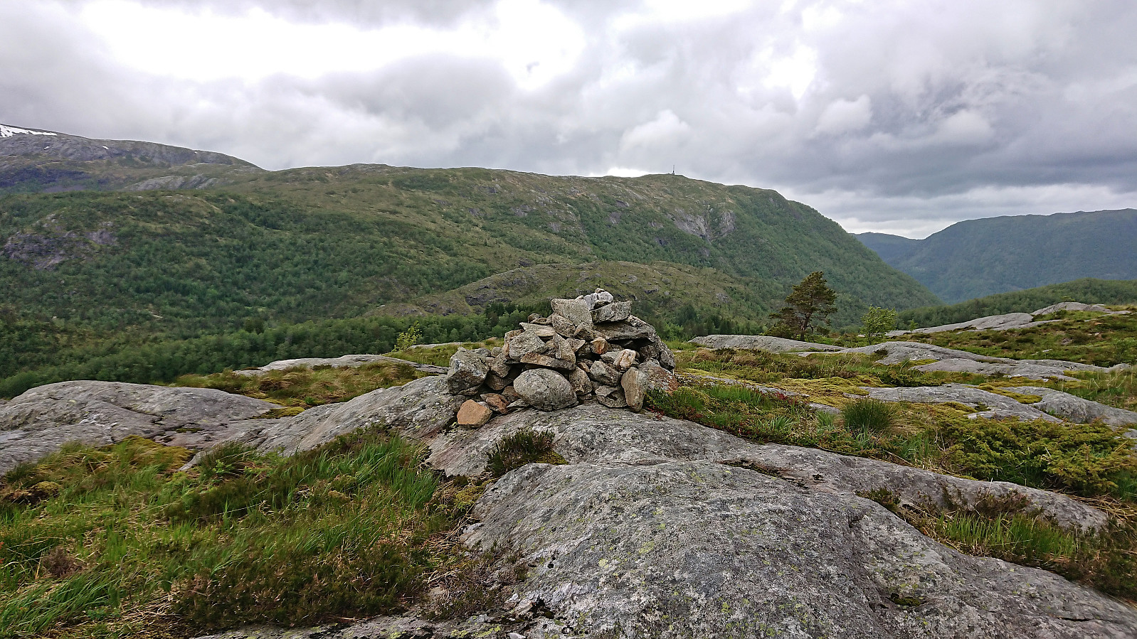
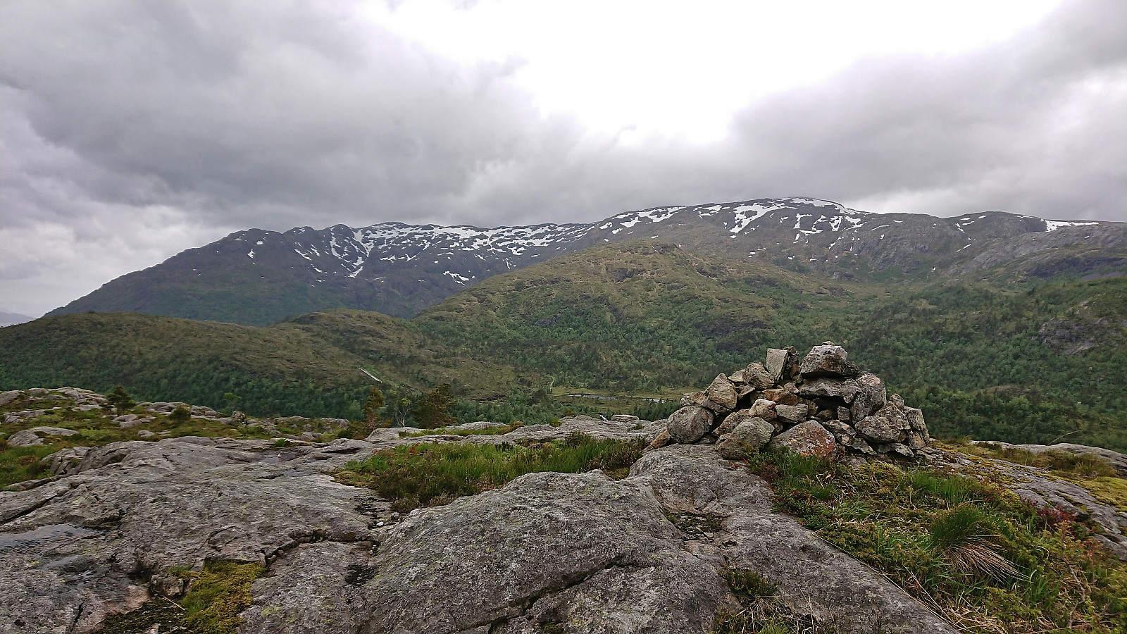
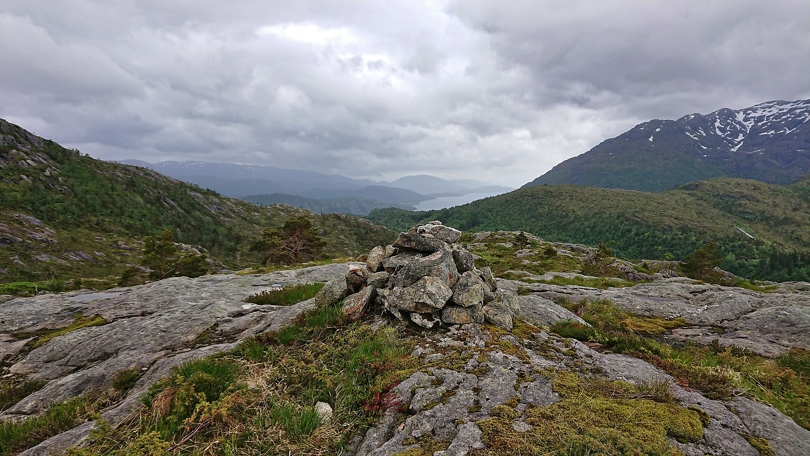
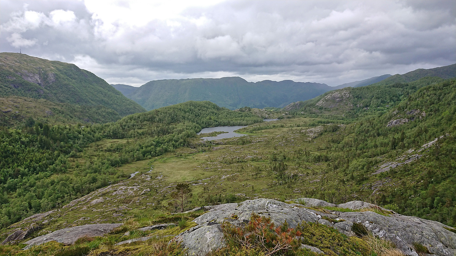
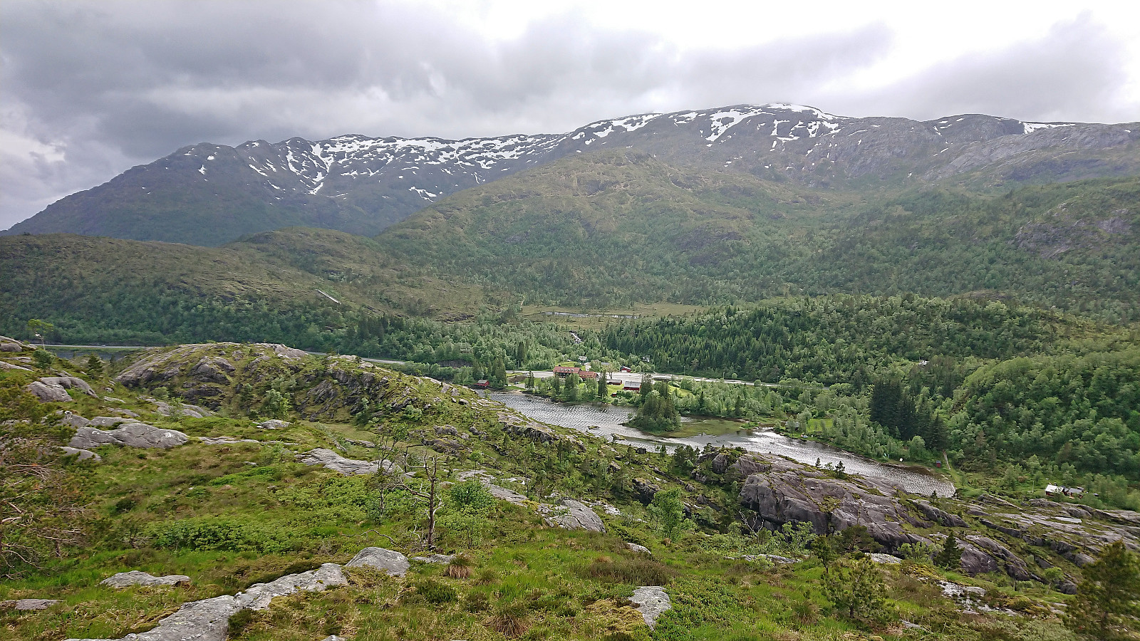
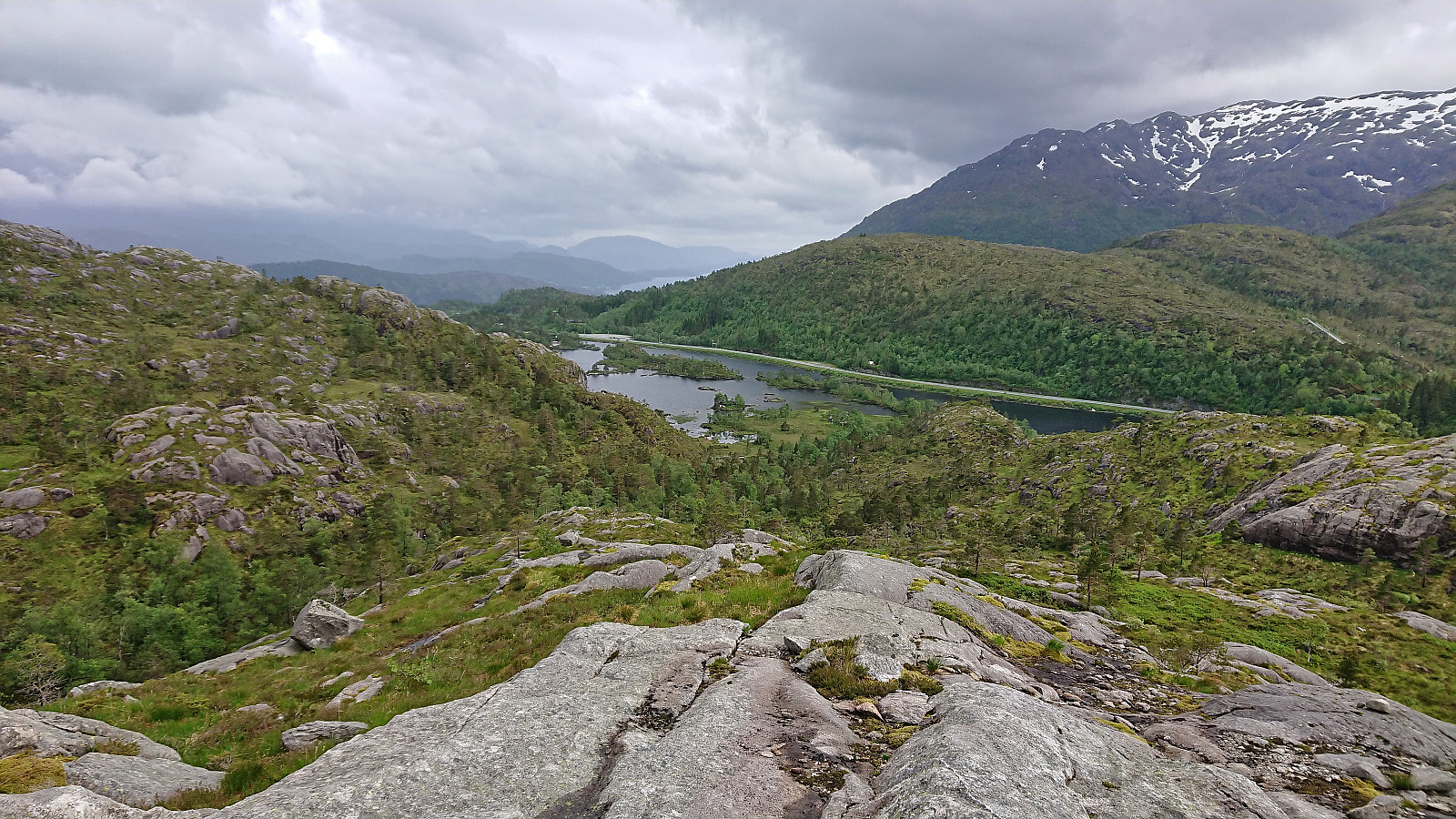
On a windy Saturday where the only question was when it was going to start raining, I decided to go for a relatively local peak I had not yet visited, namely Skåpet, yet another minor summit on the Alle topper i Bergen list. I started by taking the bus to Gullbotn and from there headed north along Øyjordvatnet. After crossing a wooden bridge and passing a couple of cabins I managed to follow a weak trail that took me almost all the way to the summit. Granted, the trail was not always to spot, but it was clearly a trail and not just an animal track. The summit provided much better views than expected.
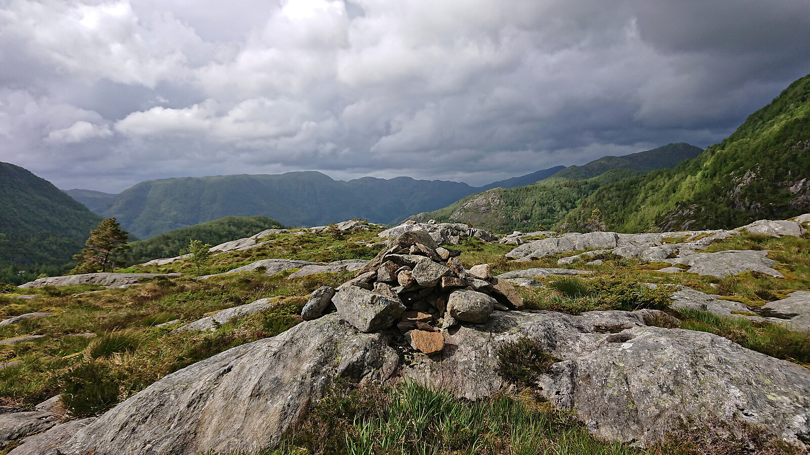
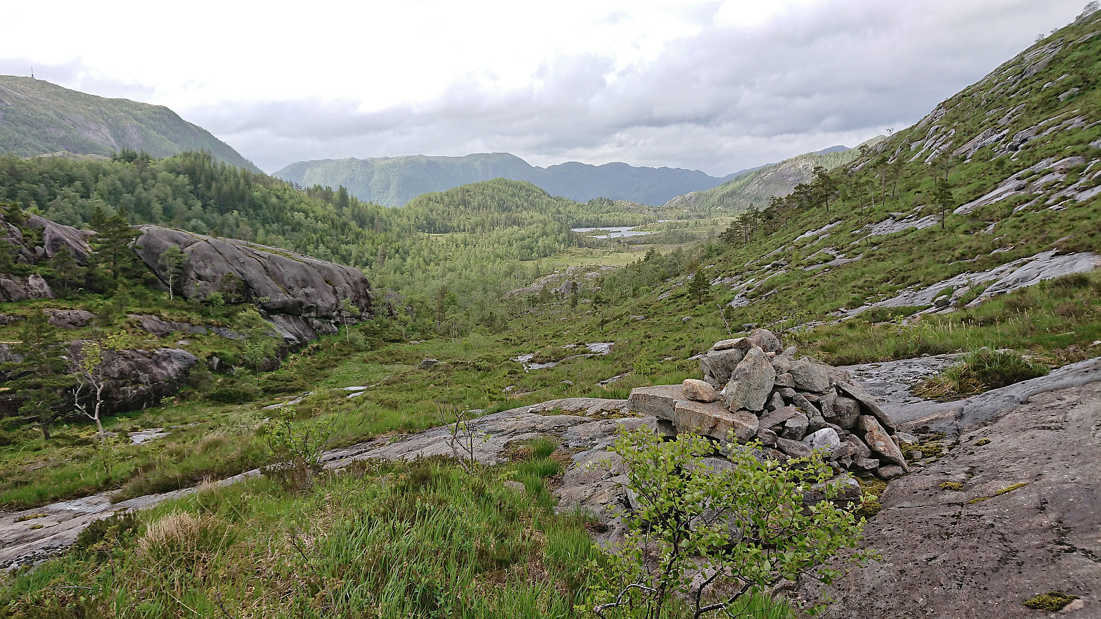
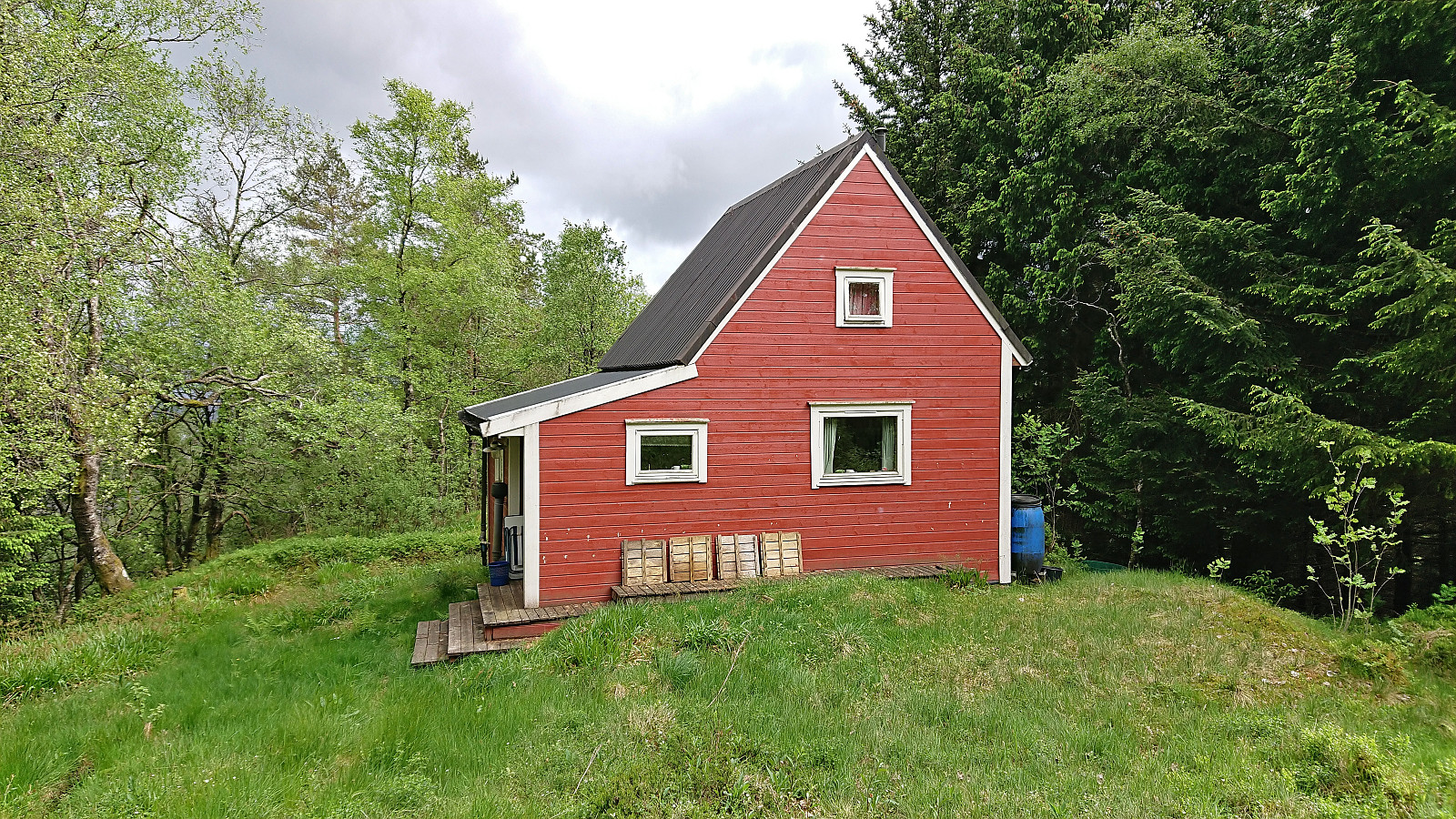
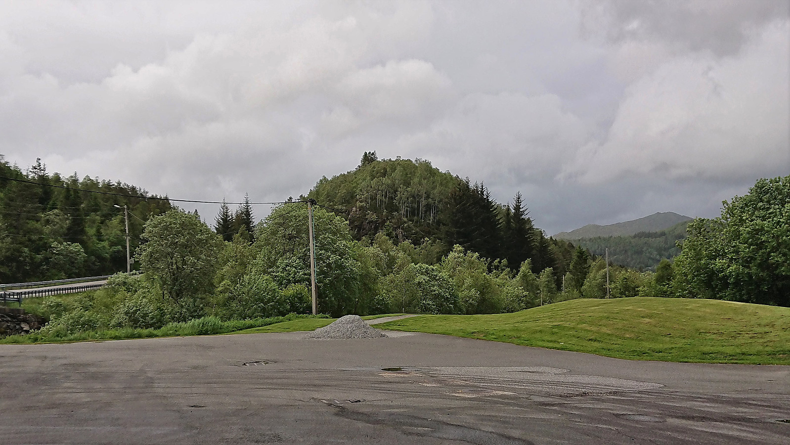
I briefly considered continuing to Krånipa, but in the end returned along the same route. I figured I would also have the time for a visit of Svartliåsen though, another minor summit just east of the main road. This one was especially attractive as it seemed to have a trail all the way to the summit. But first I had to head north, following what was most likely an old tractor road, before turning south for the final ascent. Here I passed by a couple of cabins, and there was even a third cabin just north of the summit.
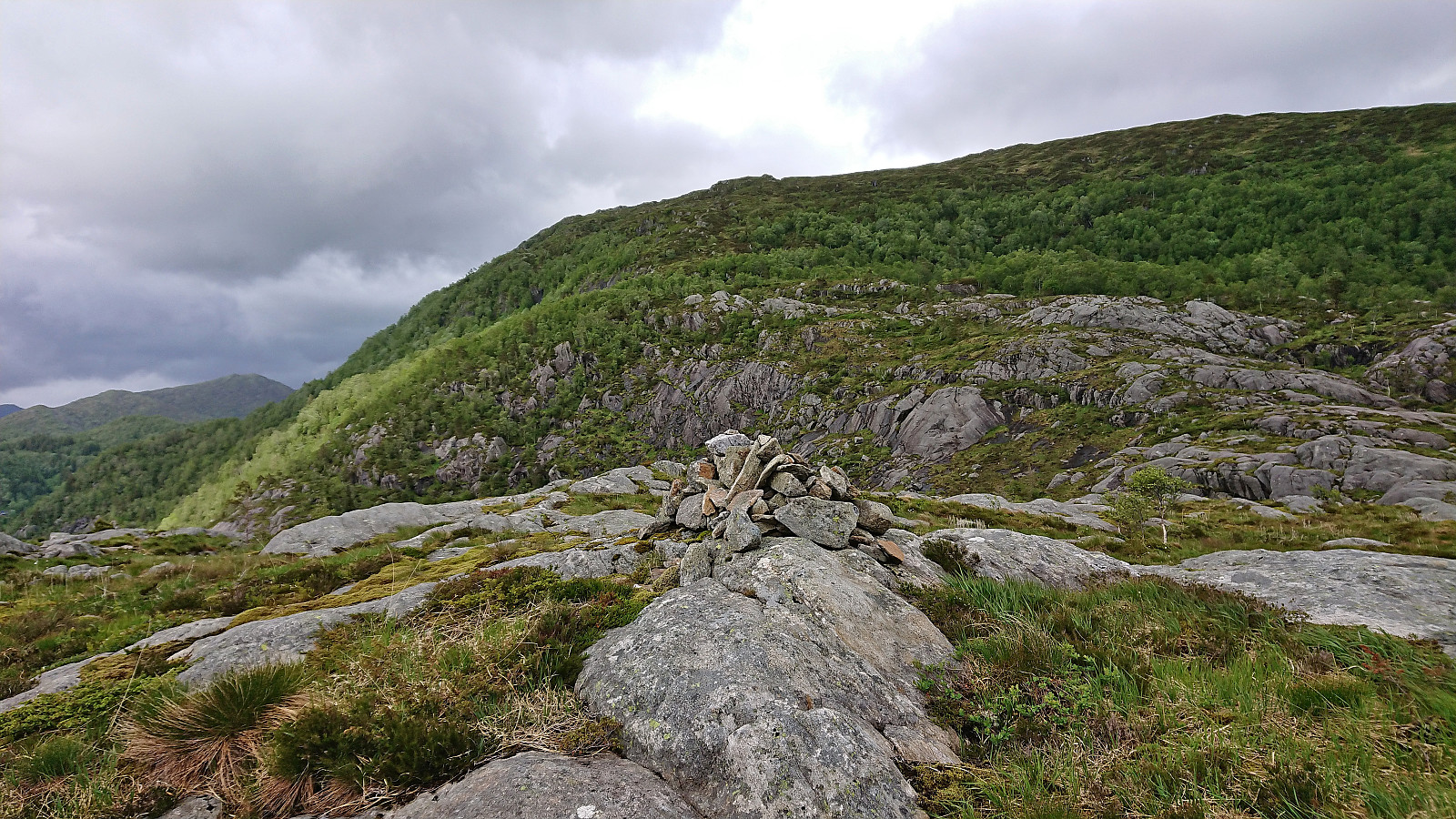
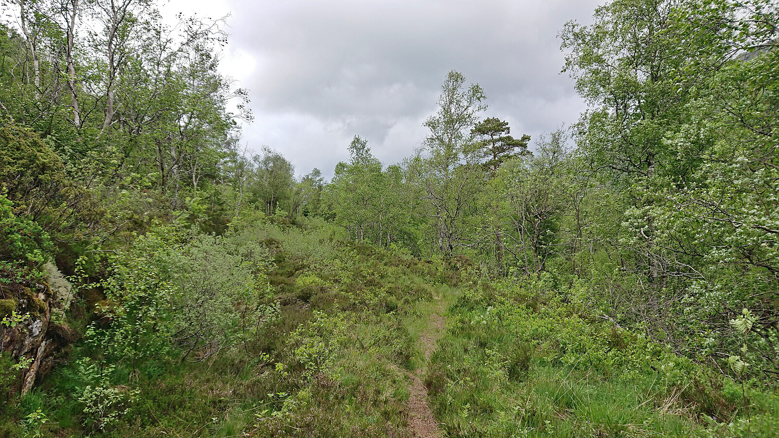
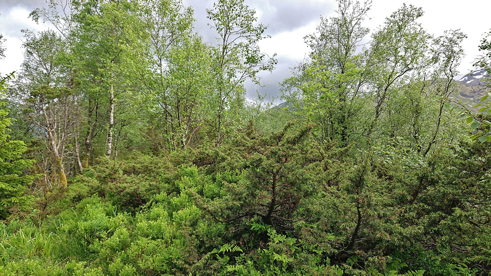
The summit was easily reached, but provided very limited views due to all the trees. I therefore did not stay long before starting my descent. The weak trail continued south across the summit, where it was soon replaced by various deer tracks, one of which I followed east to reconnect with the trail. All that was left was then the walk back to the main road and wait for the bus back to Bergen.
To conclude, the hike to Skåpet was much better than expected and with its great views and (weak) trail all the way to the summit, a visit can be recommended. While the summit of Svartliåsen can also easily be reached, its limited views most likely means that normal hikers will probably not feel much need to pay it a visit.
| Starttidspunkt | 11.06.2022 16:16 (UTC+01:00 ST) |
| Sluttidspunkt | 11.06.2022 17:54 (UTC+01:00 ST) |
| Totaltid | 1t 38min |
| Bevegelsestid | 1t 34min |
| Pausetid | 0t 4min |
| Snittfart totalt | 3,1km/t |
| Snittfart bevegelsestid | 3,3km/t |
| Distanse | 5,1km |
| Høydemeter | 267m |


Kommentarer