
Tverrmeisa and Livarden from Bontveit to Haukeland (09.06.2022)

Written by hbar (Harald Barsnes)

| Start point | Bontveit (304m) |
|---|---|
| Endpoint | Haukeland (78m) |
| Characteristic | Hillwalk |
| Duration | 2h 47min |
| Distance | 9.5km |
| Vertical meters | 495m |
| GPS |
|
| Ascents | Livarden (683m) | 09.06.2022 |
|---|---|---|
| Tverrmeisa (541m) | 09.06.2022 | |
| Visits of other PBEs | Bontveit parkering (304m) | 09.06.2022 |
| Domus Medica (353m) | 09.06.2022 | |
| Livarden Bautastein (635m) | 09.06.2022 | |
| Vinterlund (privat) (335m) | 09.06.2022 |
Tverrmeisa and Livarden from Bontveit to Haukeland
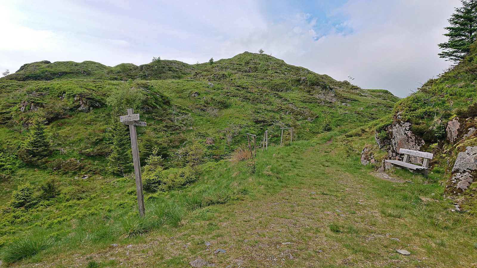
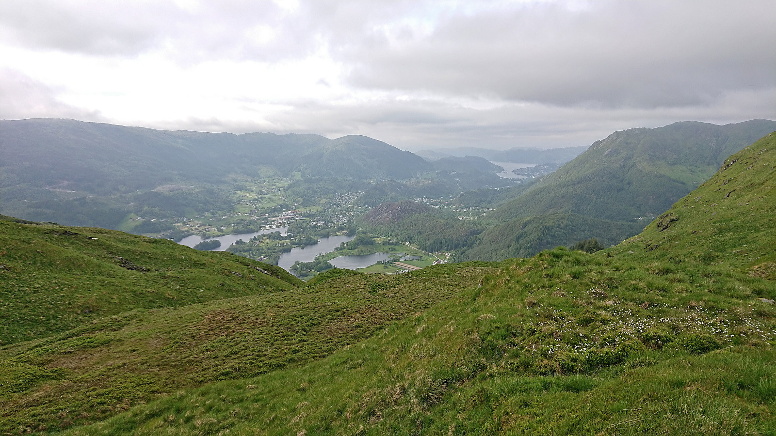
For once I managed to leave work around four and hopped on a bus to Kaland skole that connected with another bus to Bontveit. This provided easy access to a minor summit I had passed close by in the past but not bothered to actually visit, namely Tverrmeisa. When the gravel road ended south of the summit there was even a sign for Tverrmeisa, but it seems like the trail this sign refers to is no longer there. At least the trail I was on soon rather took me up towards Slettegga. I therefore ditched the trail and simply made my own way to the highest point of Tverrmeisa.
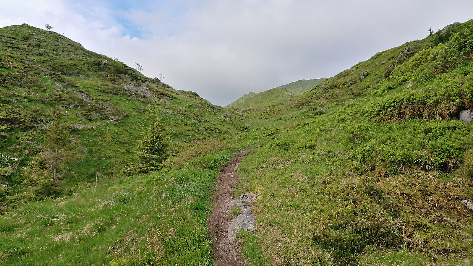
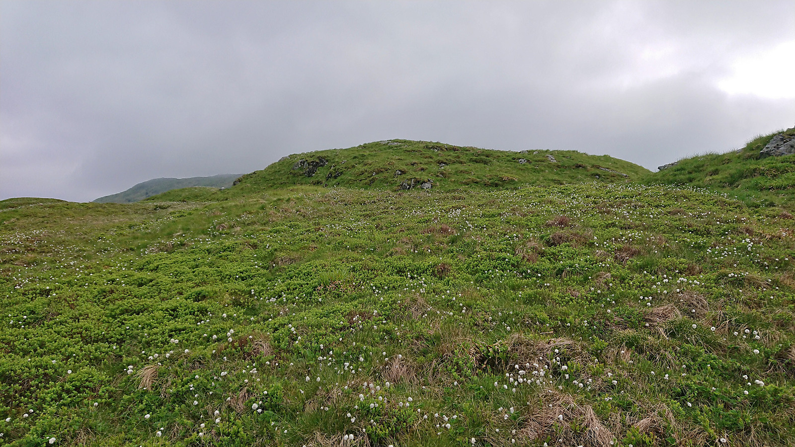
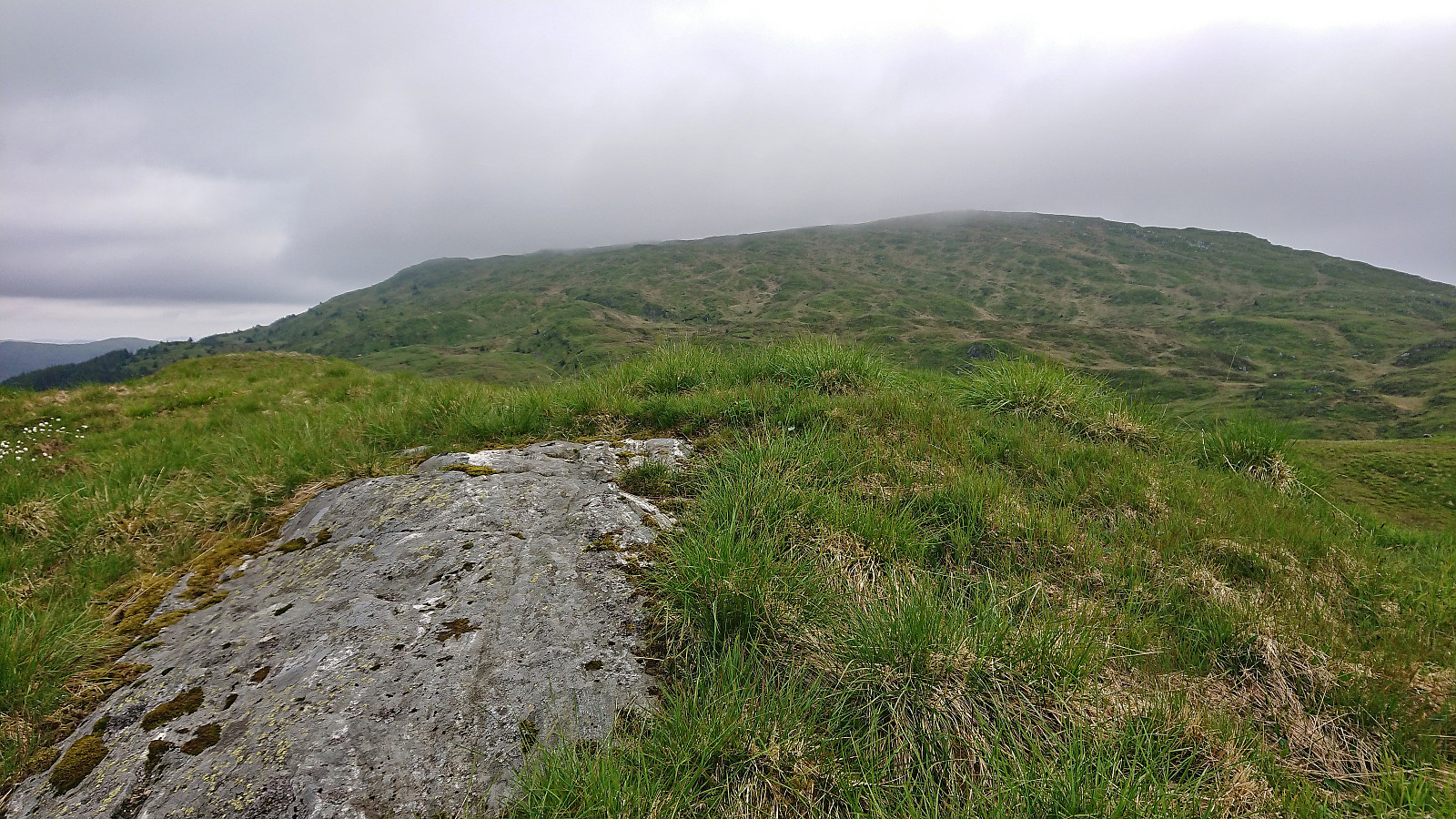
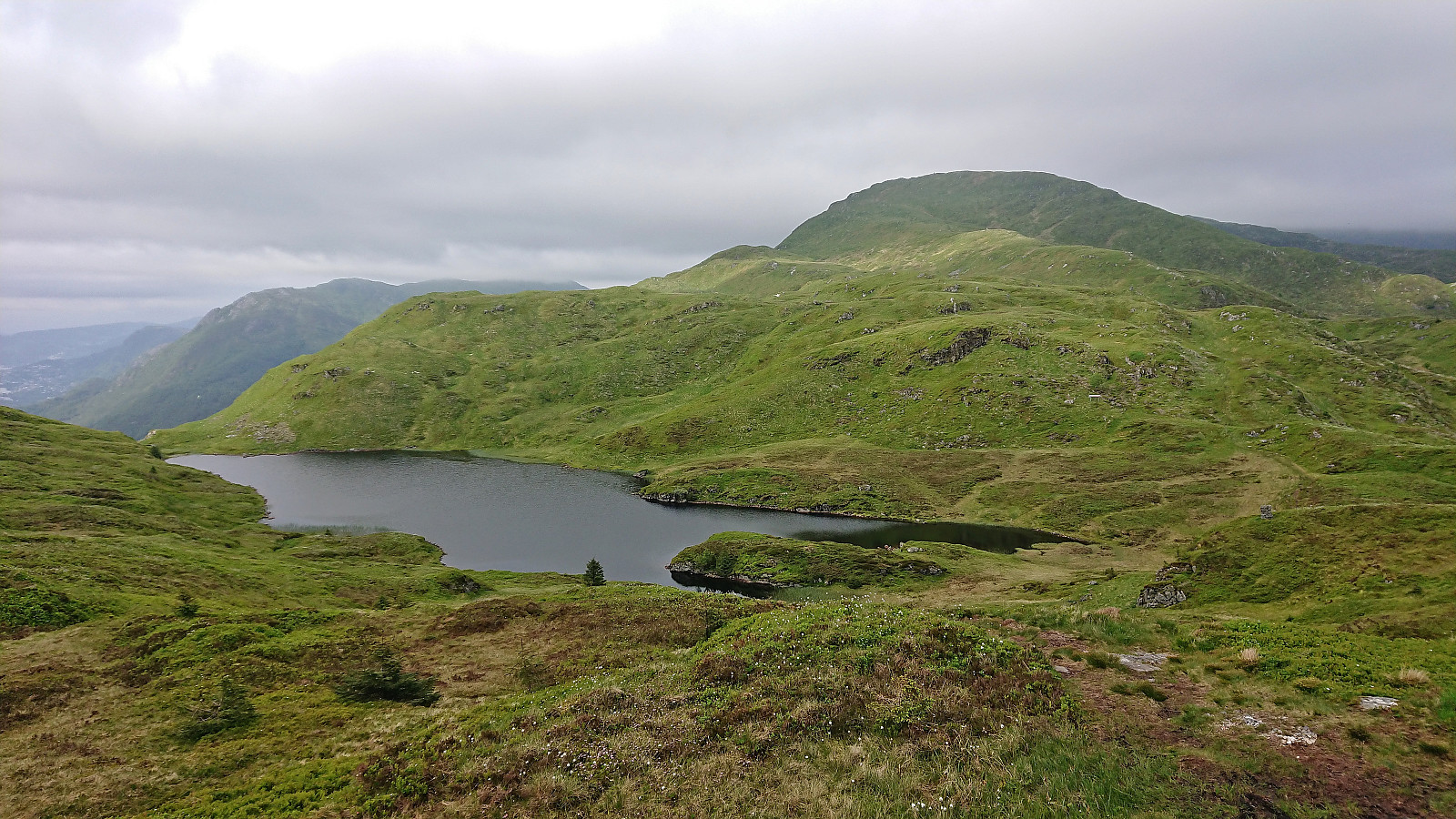
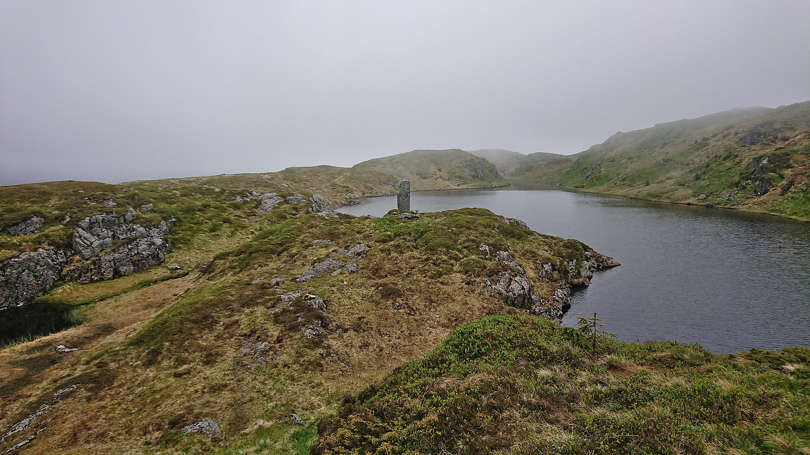
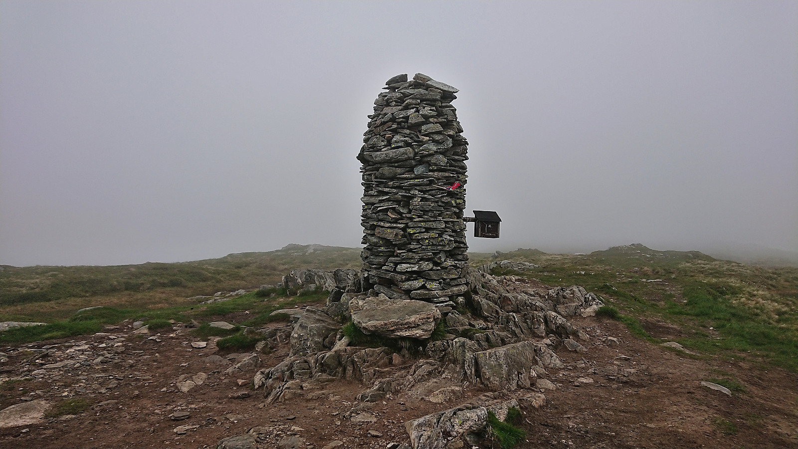
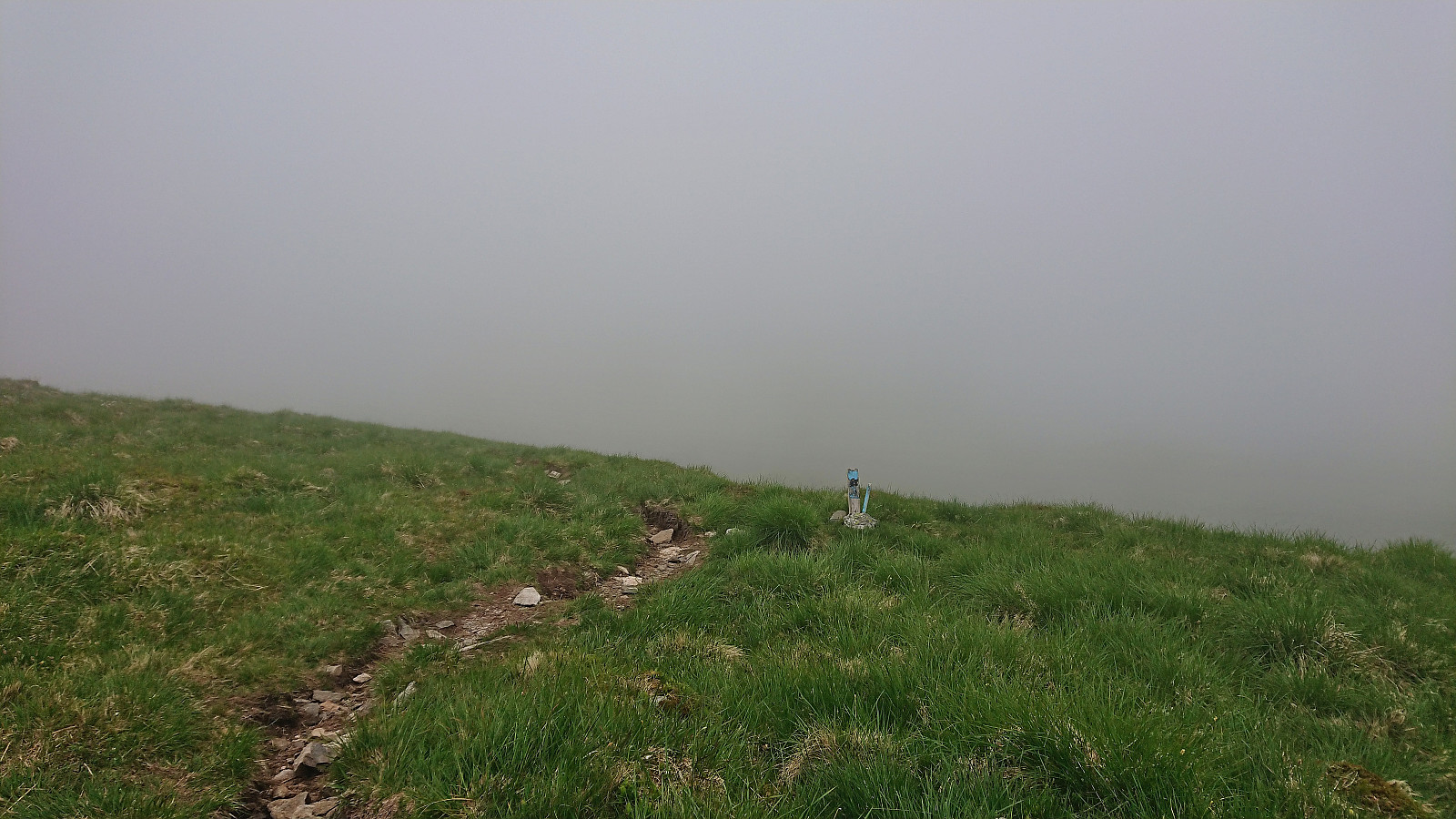
Much better views than expected, especially down to Haukelandsvatnet and even all the way to Arnavågen. The thickening fog did not help though, and I did not stay long before heading for the trail east of the summit and continue to Livarden. On the way there, I made a short detour to Krokvatnet and Livarden Bautastein where I also had a short break and a quick bite. No views at all from Livarden today due to the fog.
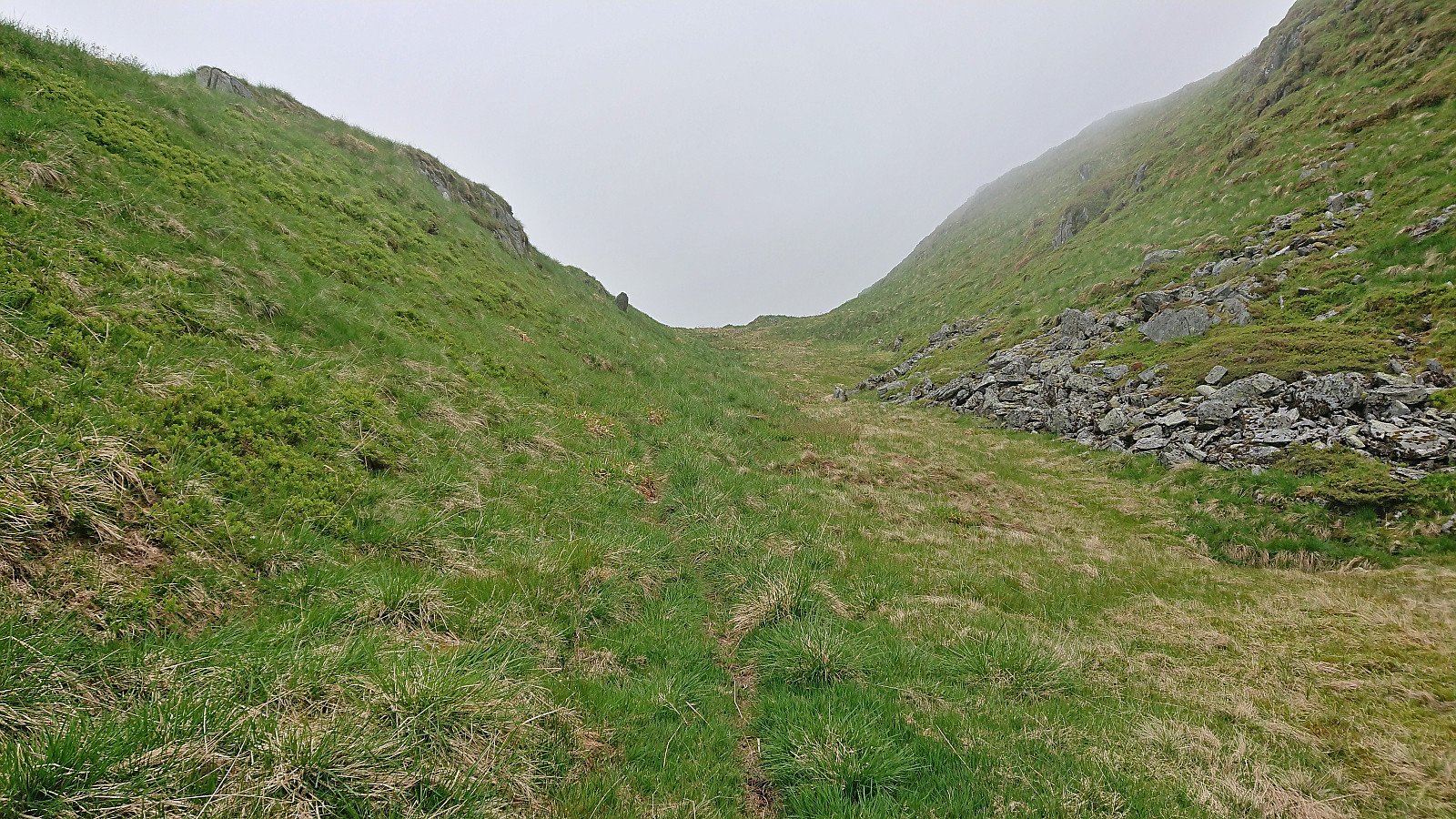
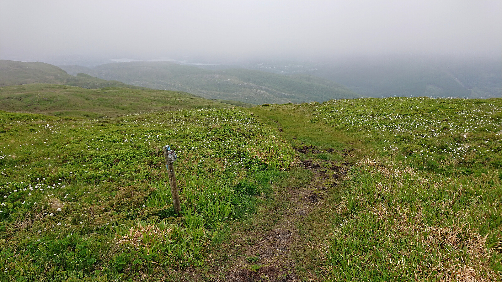
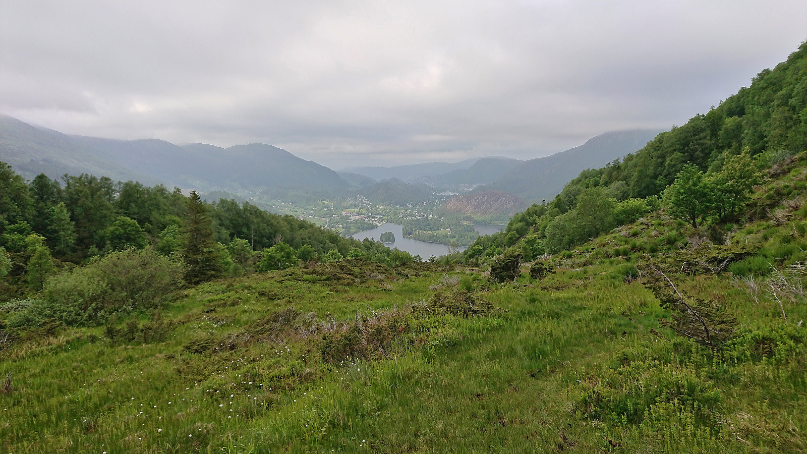
From Livarden I followed the Rett Vest marked trail down to Unnelandsvegen. This was a route I had never tried before, and the quality was worse than I had hoped for, with lots of wet and muddy areas that had to be crossed. It got better towards the end, although there it was also much steeper. (I had planned to follow the trail referred to as Lavrinden a couple hundred meters further east. But while marked at both ends, I did not see any traces of the trail from the sign at the top. At the bottom it was however much more pronounced and still a better choice compared to the rather wet Rett Vest route?)
When reaching Unnelandsvegen, all that was left was the short walk to the bus stop at the main road. Overall, a nice short hike that I would not mind repeating in better weather, although most likely skipping Tverrmeisa and also having a go at Lavrinden.
| Start date | 09.06.2022 17:13 (UTC+01:00 DST) |
| End date | 09.06.2022 20:01 (UTC+01:00 DST) |
| Total Time | 2h 47min |
| Moving Time | 2h 32min |
| Stopped Time | 0h 15min |
| Overall Average | 3.4km/h |
| Moving Average | 3.7km/h |
| Distance | 9.5km |
| Vertical meters | 494m |


User comments