
Sæterbøfjellet, Melsåta and Klovskardfjellet (04.06.2022)

Skrevet av hbar (Harald Barsnes)

| Startsted | Heio/Koløyvegen (42moh) |
|---|---|
| Sluttsted | Vestvik/Vistvik (34moh) |
| Turtype | Fjelltur |
| Turlengde | 6t 16min |
| Distanse | 21,4km |
| Høydemeter | 1205m |
| GPS |
|
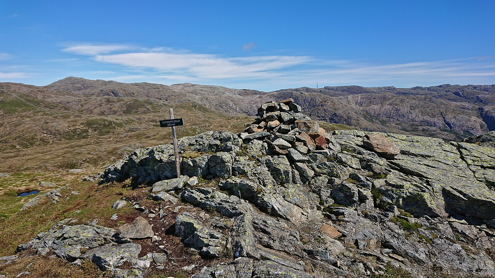
| Bestigninger | Klovskardfjellet (555moh) | 04.06.2022 |
|---|---|---|
| Klovskardfjellet Vest (495moh) | 04.06.2022 | |
| Melsåta (499moh) | 04.06.2022 | |
| Sæterbøfjellet (378moh) | 04.06.2022 | |
| Andre besøkte PBE'er | Gangbro ved Klovskardvatnet (292moh) | 04.06.2022 |
| Gangbro Tveitaelva (356moh) | 04.06.2022 | |
| Kjeringjo (394moh) | 04.06.2022 | |
| Kvernavatnet (360moh) | 04.06.2022 | |
| Ytste Sørlivatnet (251moh) | 04.06.2022 |
Sæterbøfjellet, Melsåta and Klovskardfjellet
A return to the island of Stord. The main goal today was to visit Melsåta, but partly as I need to get to a to a bus stop on the east side of the island for the bus back to Bergen, I decided to also include two summits on the Opptur Hordaland list.
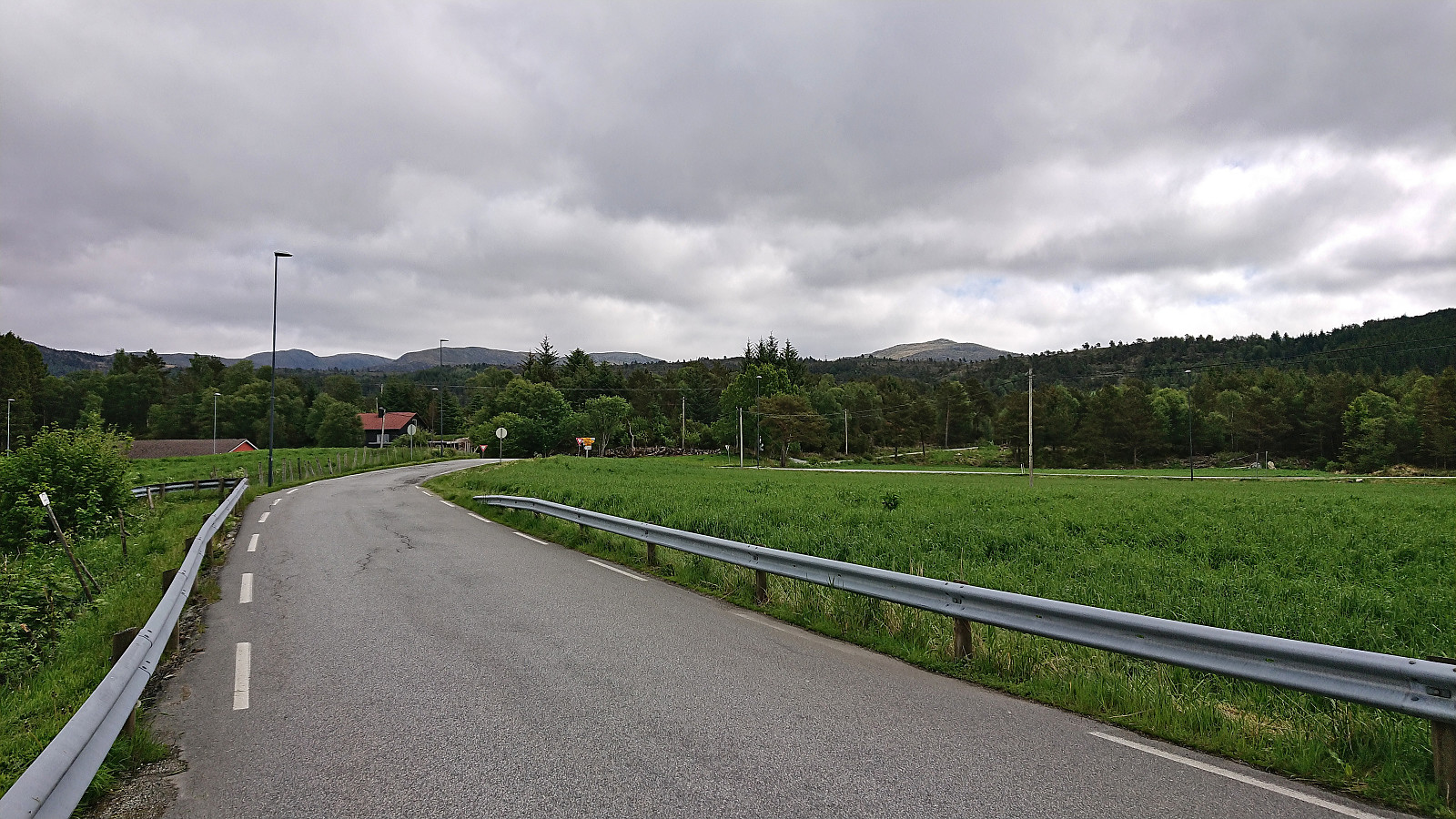
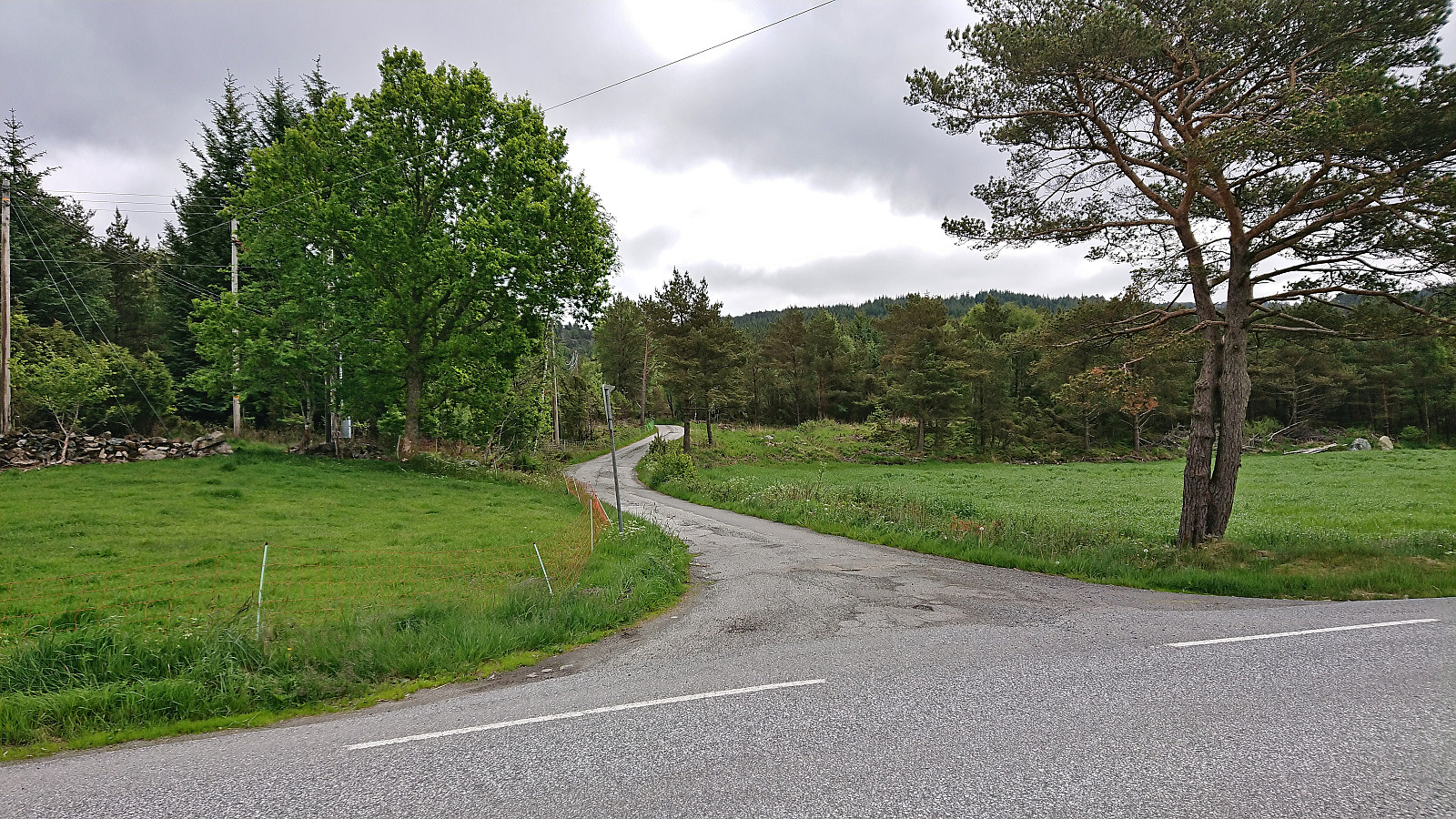
I started by taking the bus and ferry to Sandvikvåg, where I instead of waiting the 20 minutes for the bus towards Fitjar, I walked the short distance to the next bus stop at Sandvikvågvegen. After a bit of sightseeing via Fitjar and west of Storavatnet, I got off the bus at Heio, the last stop before the bus returned to the main road. Upon reaching the main road myself, I quickly crossed it and continued on the smaller road up towards Sæterbø where I located the marked trailhead.
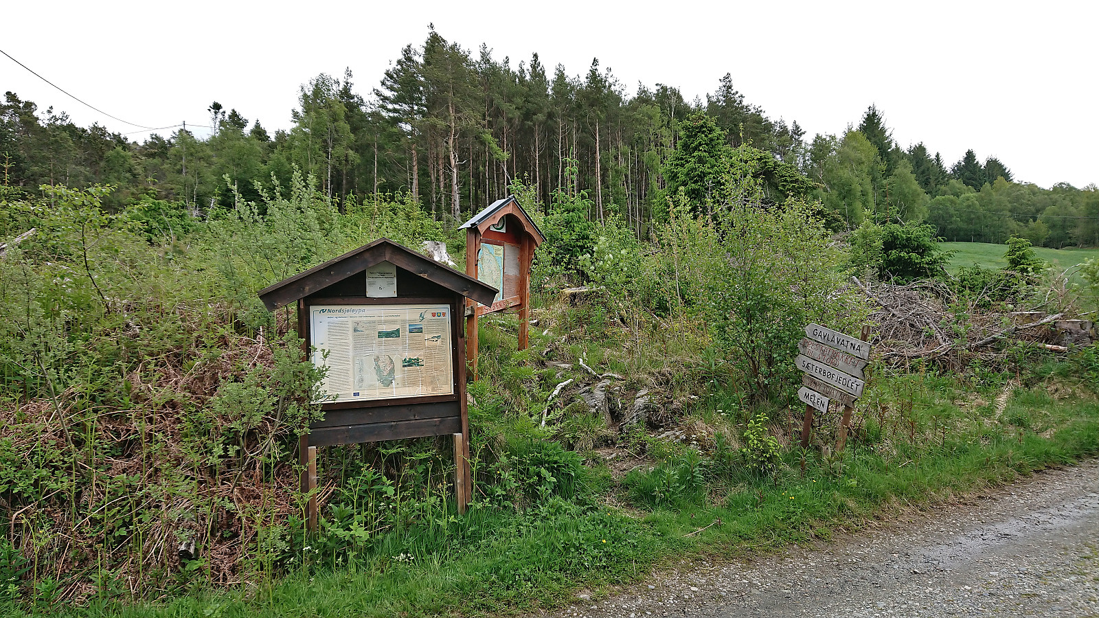
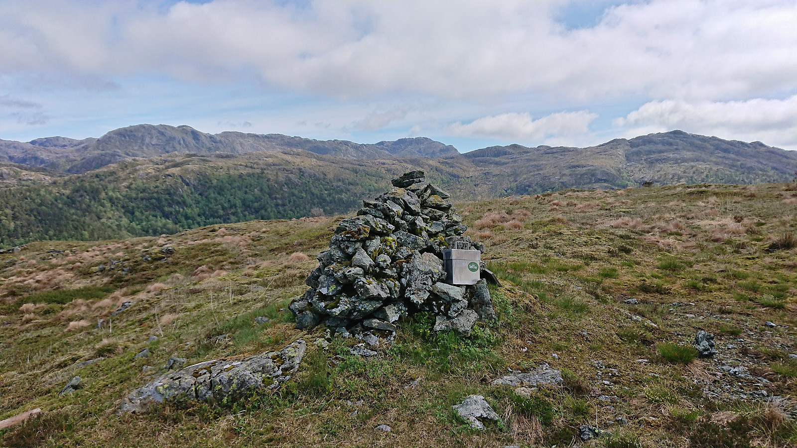
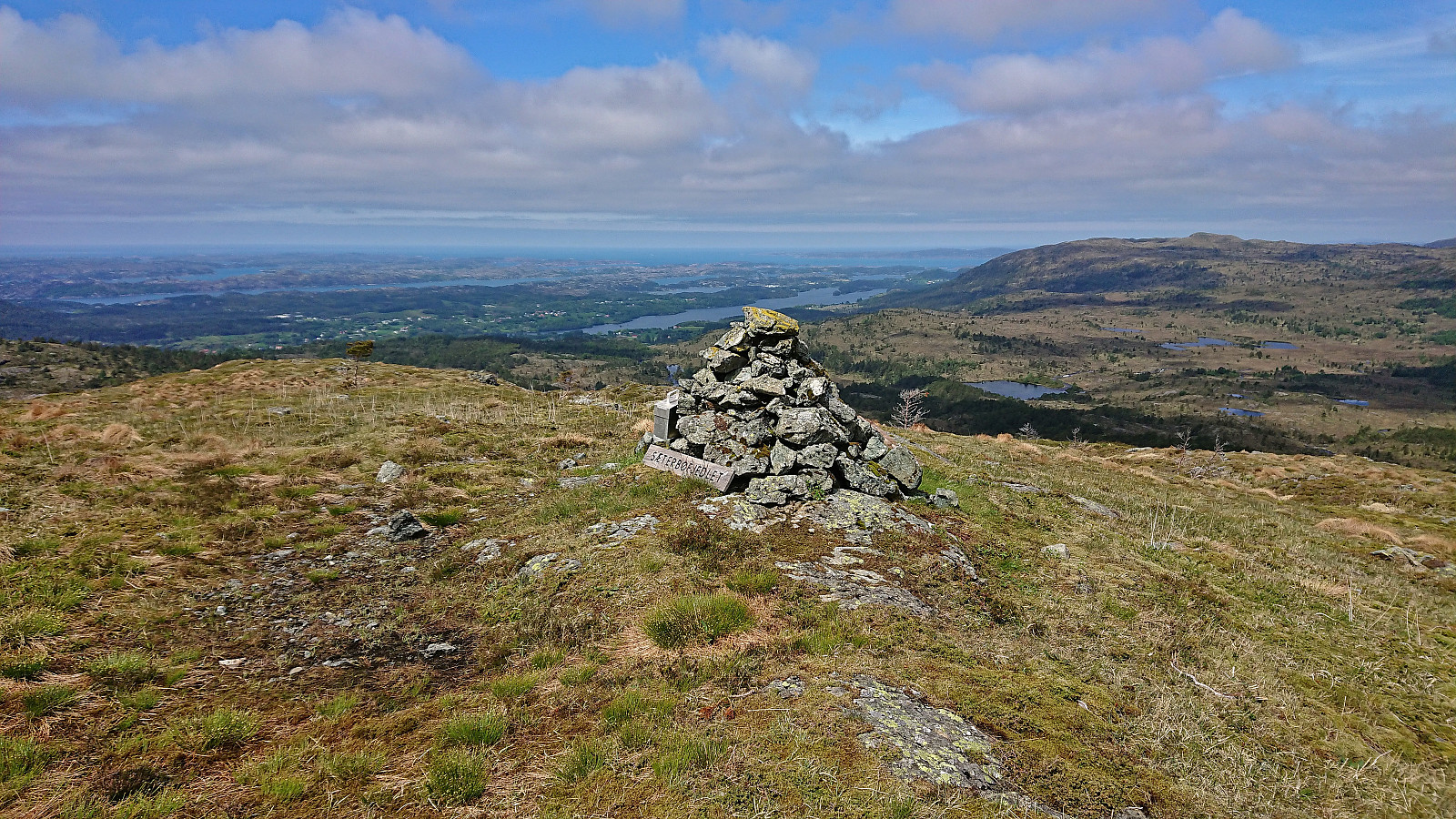
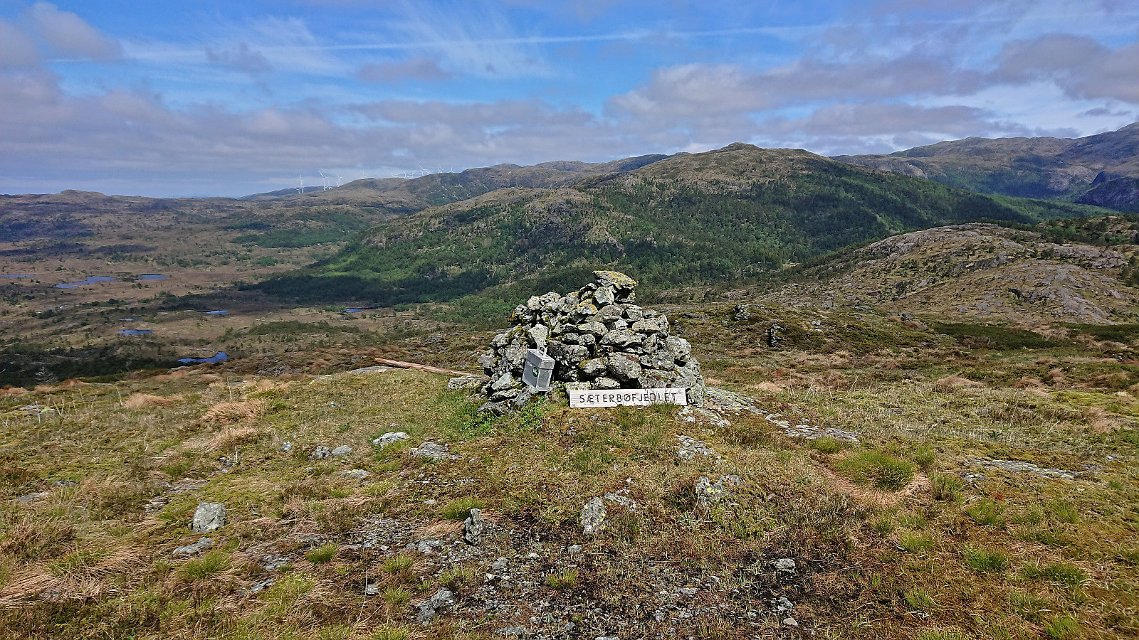
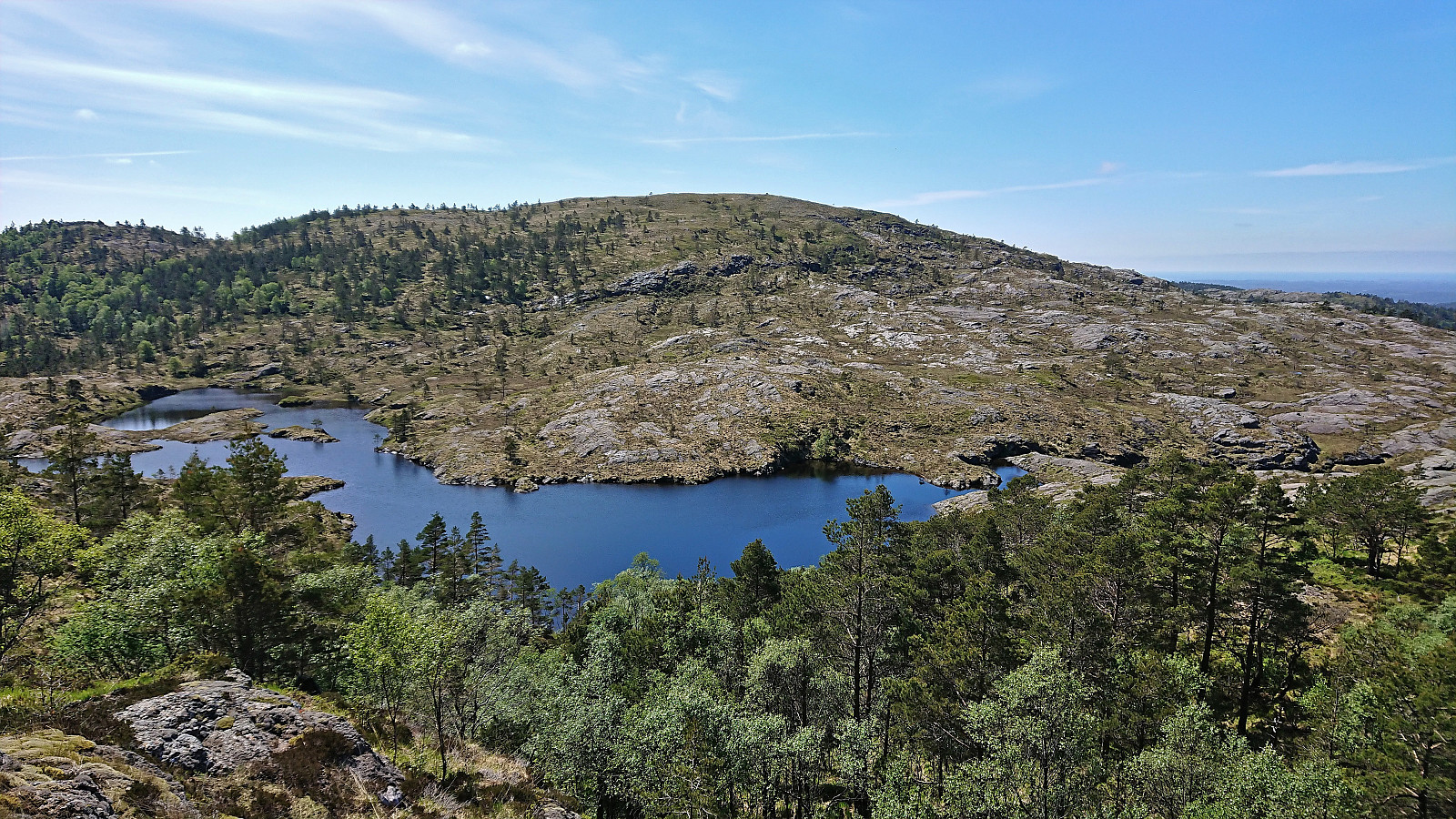
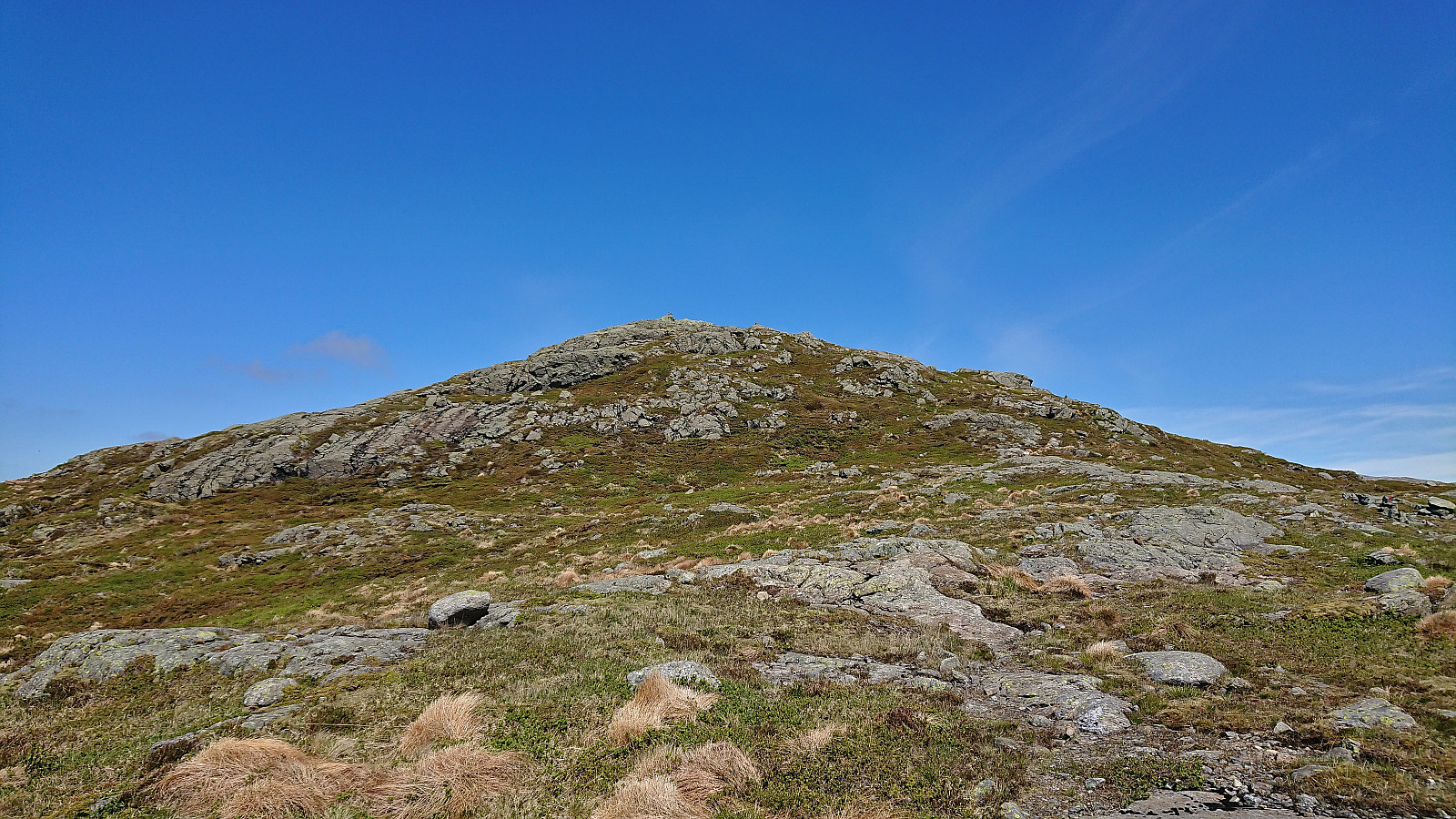
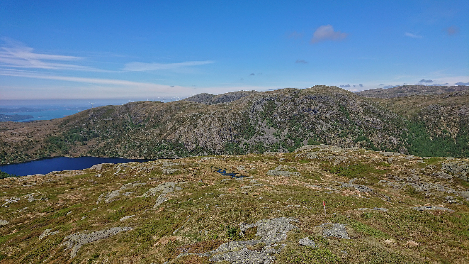
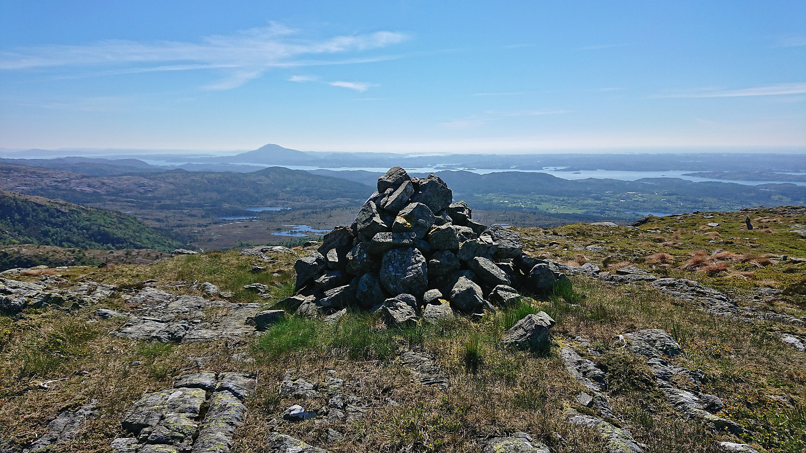
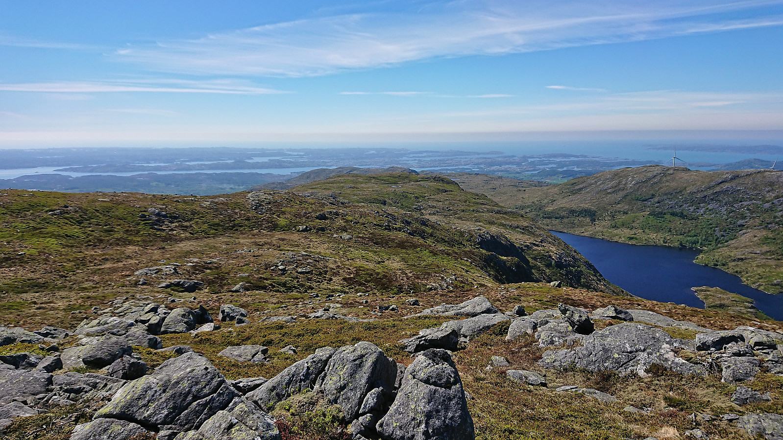
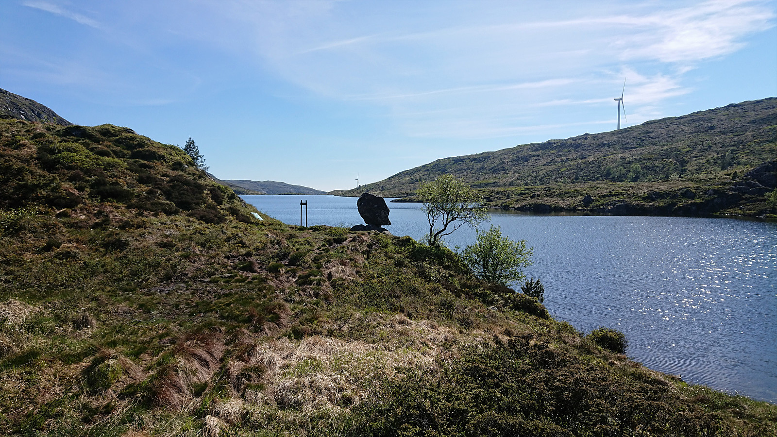
My first objective was Sæterbøfjellet, which was easily reached by following the marked trail, although the trail seemed to disappear shortly before reaching the cairn. Nice views in all directions that were made even better when the sun came out from behind the clouds. After a short lunch break I followed the trail markers to Gavlavatna. Note that I do not write "followed the marked trail", as the trail itself was not really visible.
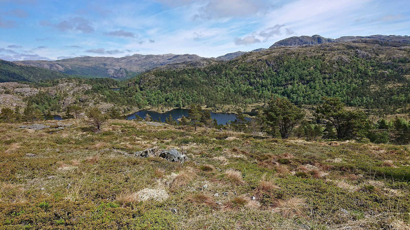
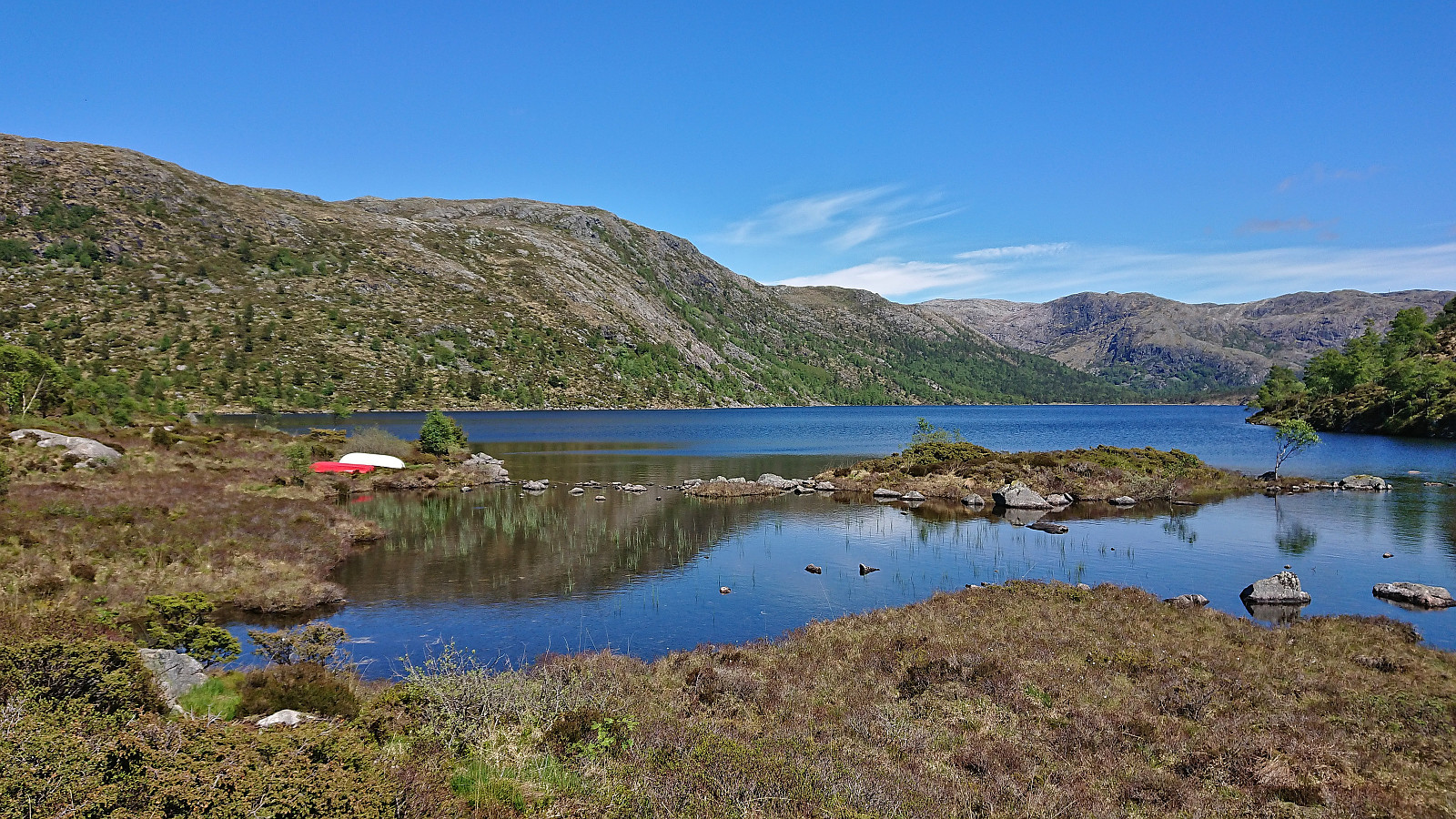
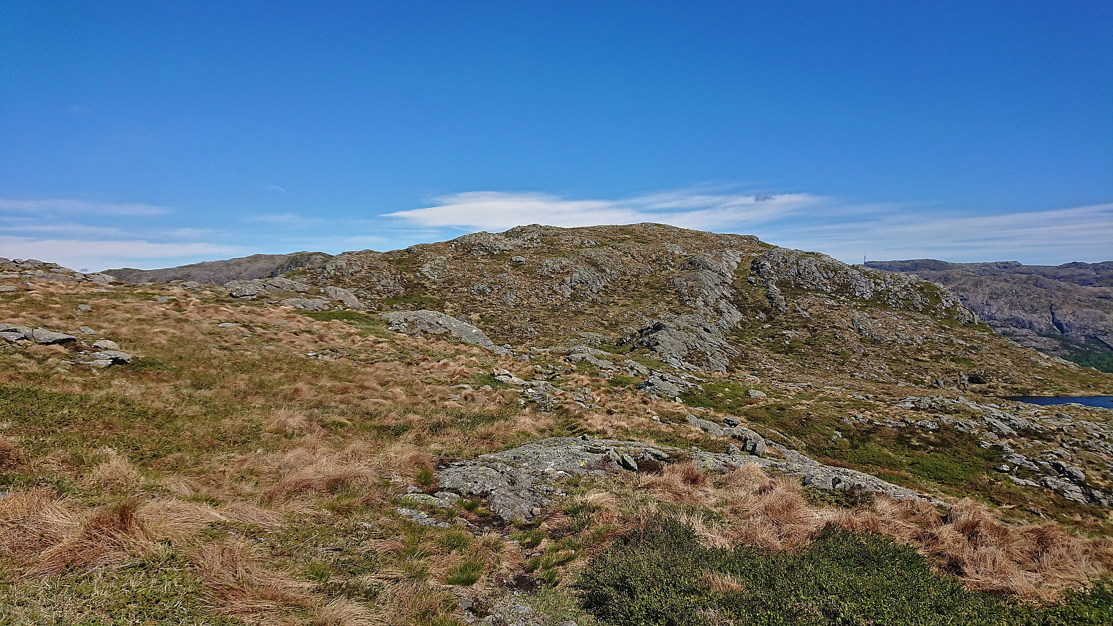
At Gavlavatna the trail markers also disappeared and I decided to simply make my own way to the trail south of Ysta Sørlivatnet. This did not present any real difficulties and I may even have partly followed a trail after all, as I came across at least two trail markers. But even my best attempt at following these failed and soon I was clearly on various deer tracks instead. I even spooked a deer on the way and managed to take a picture as it was running away. The trail south of Ysta Sørlivatnet was finally reached and from there on I would be on marked trails for the rest of the hike.
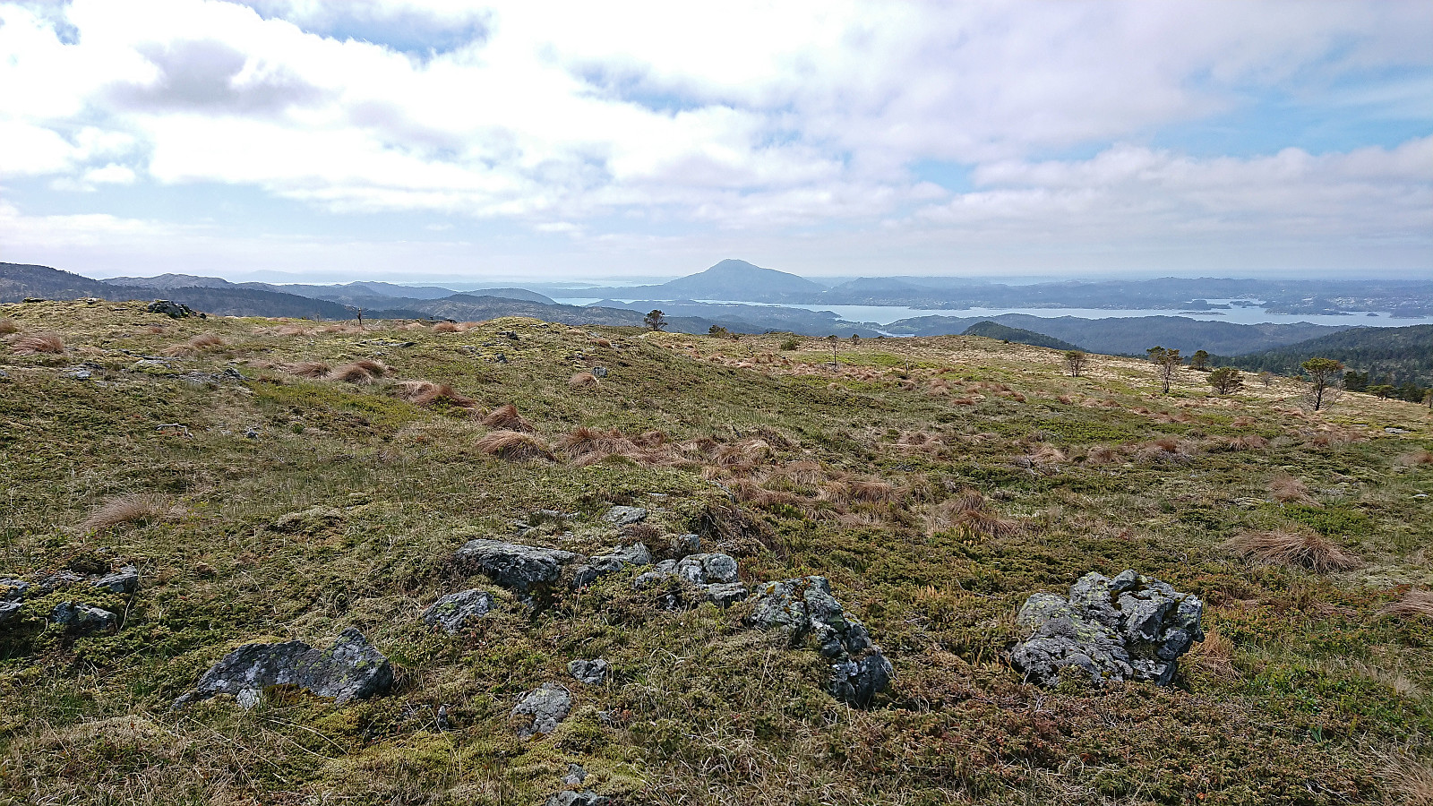
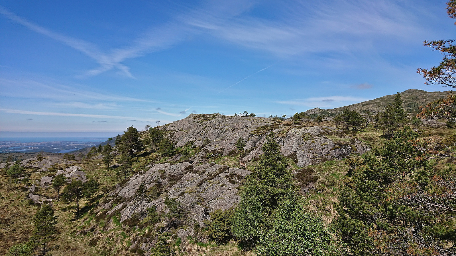
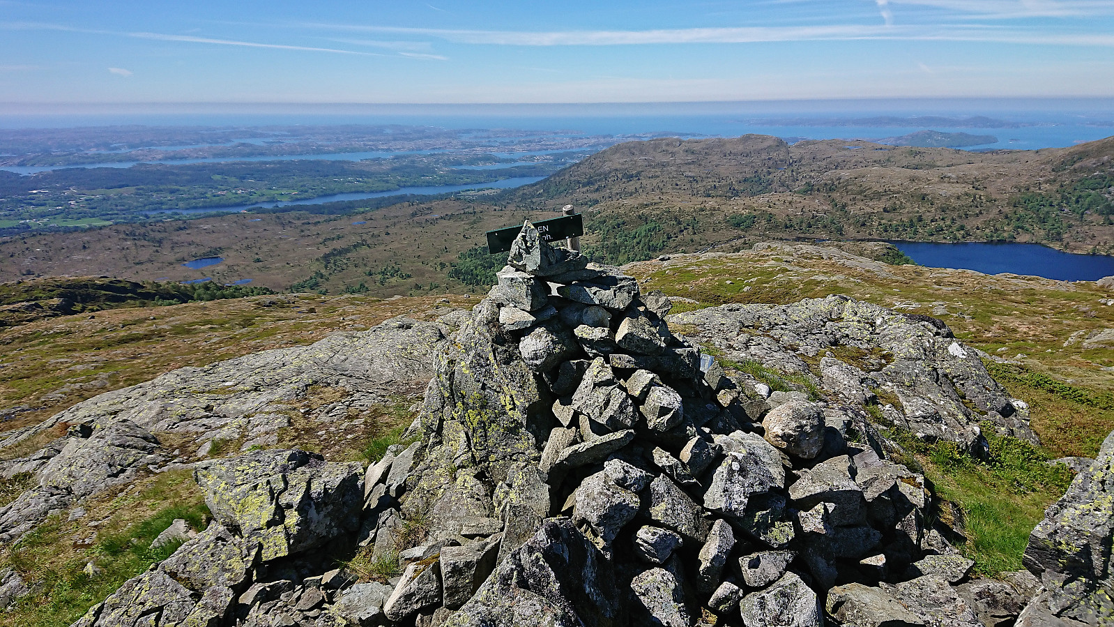
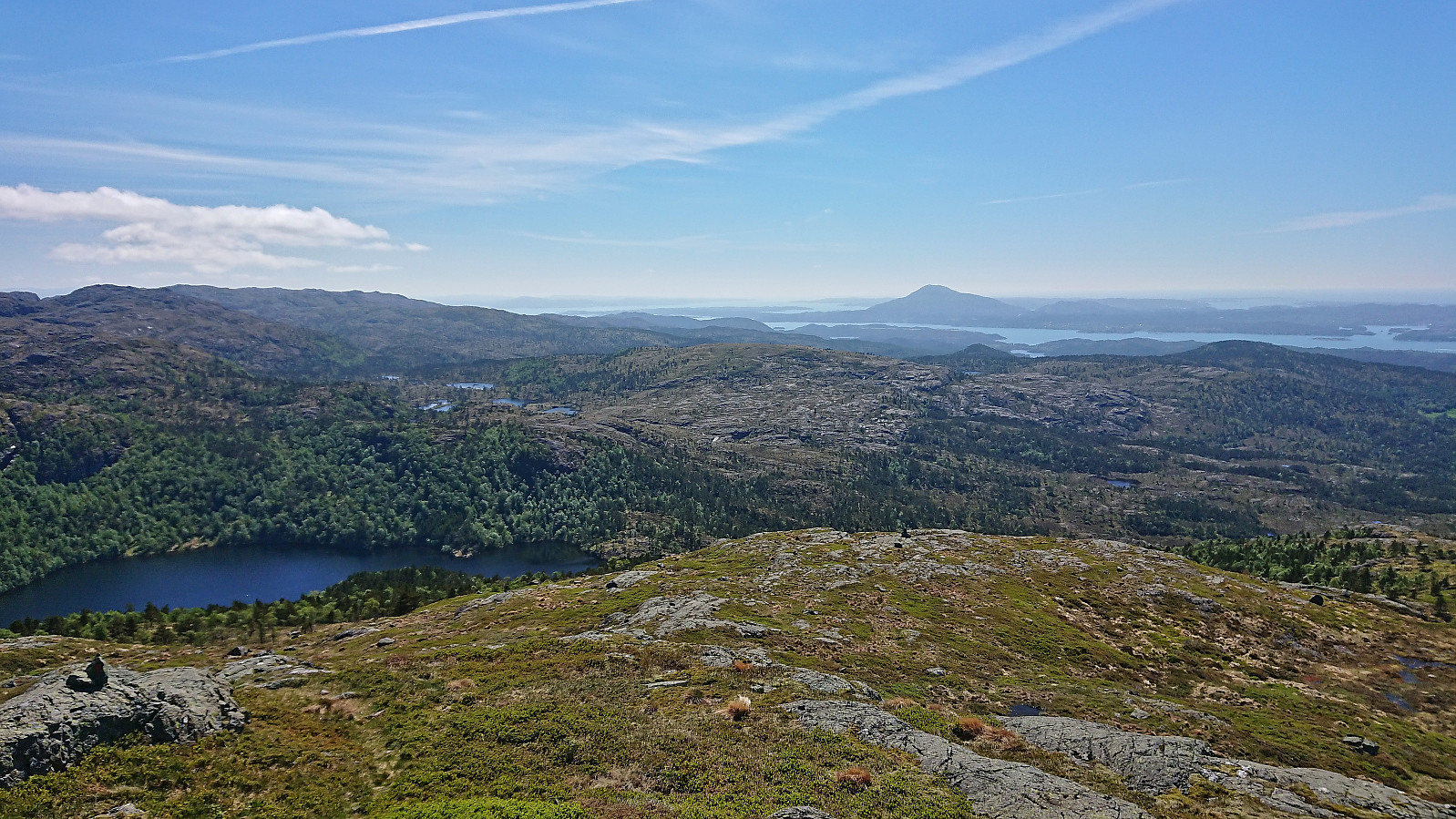
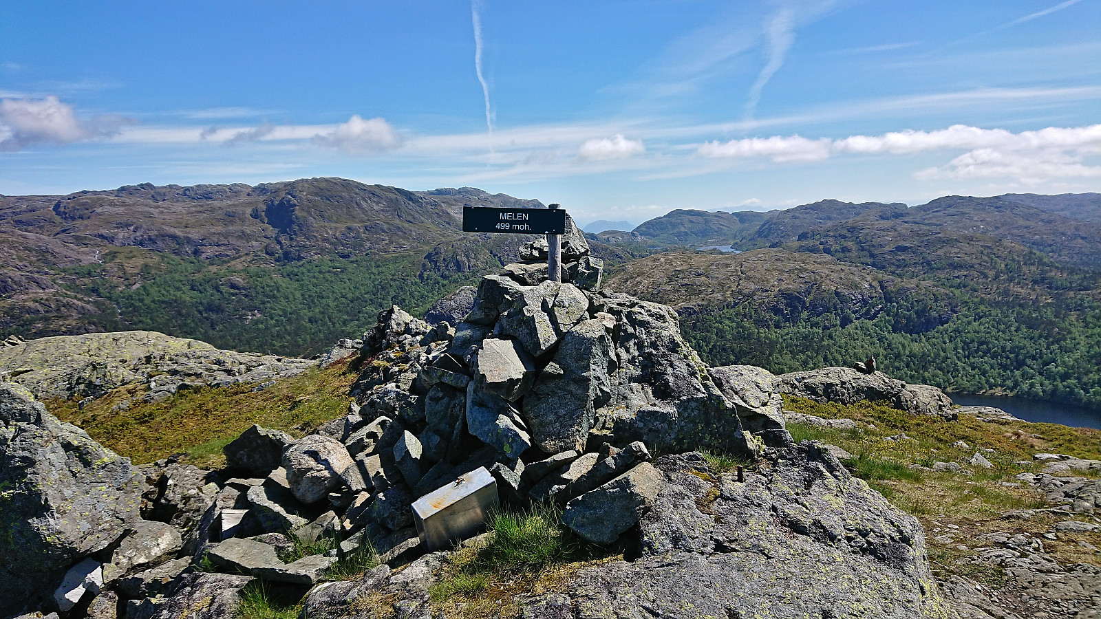
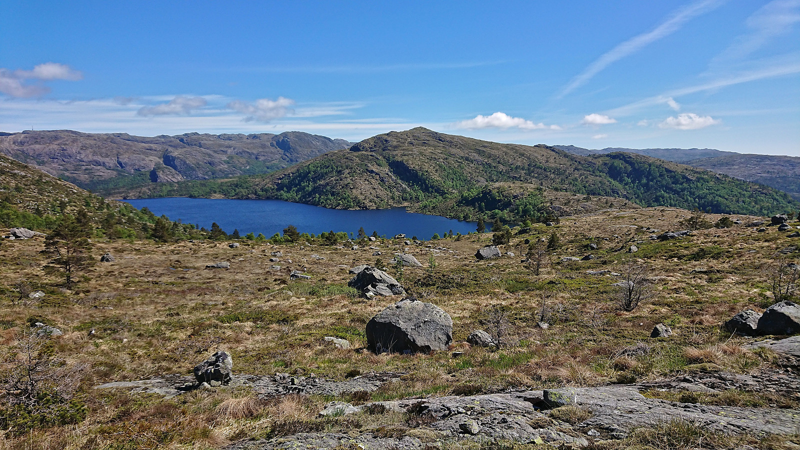
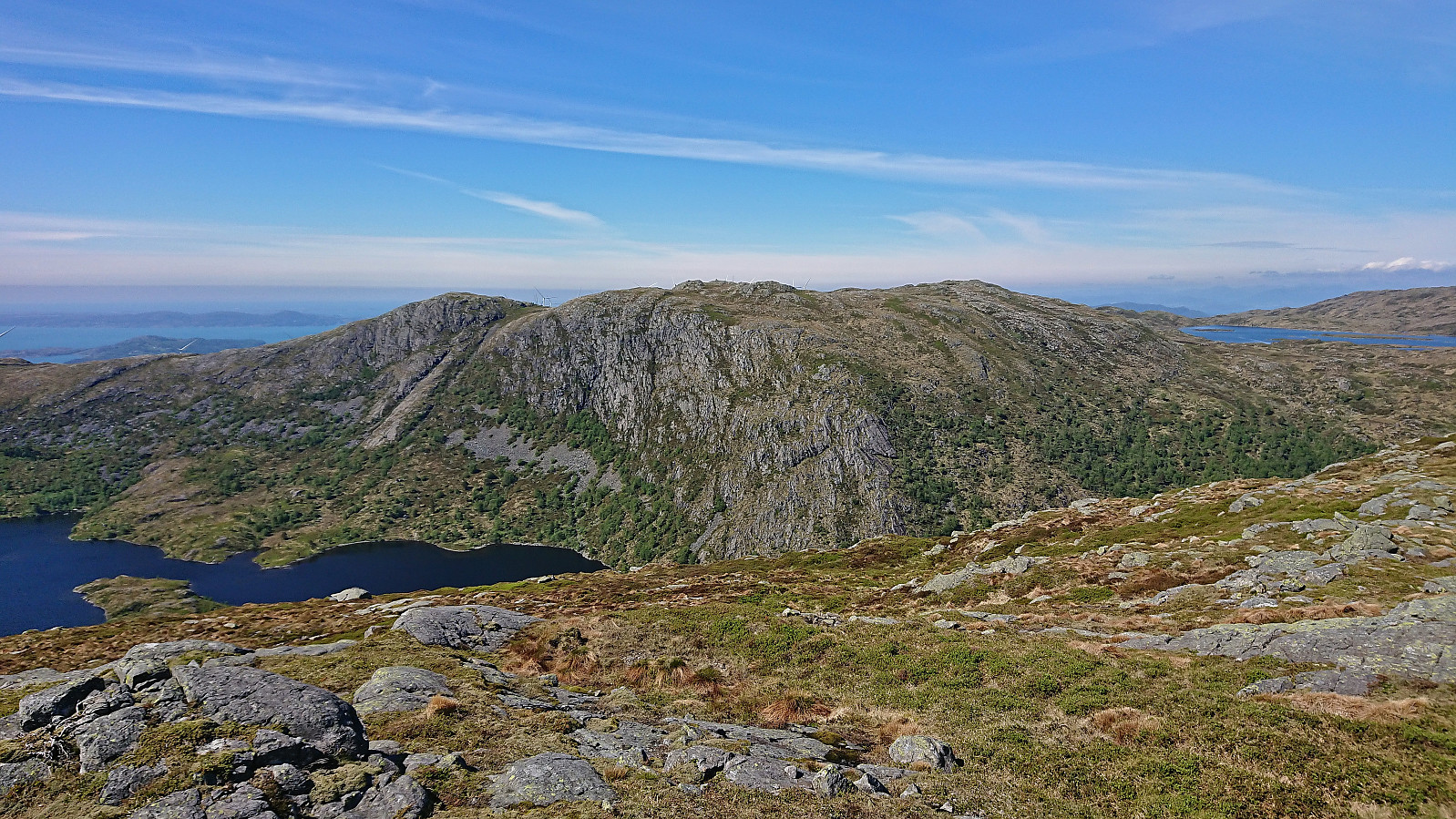
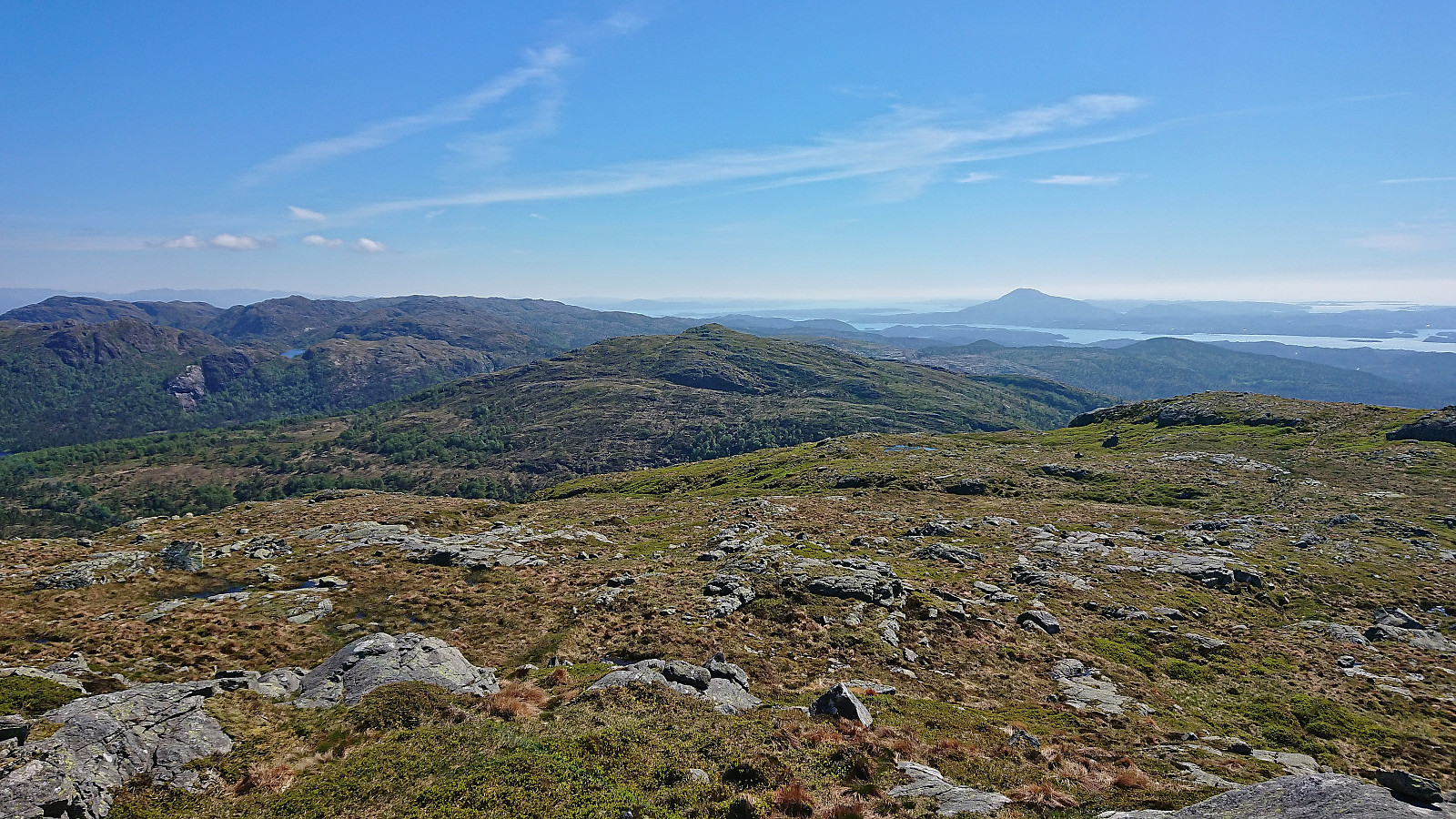
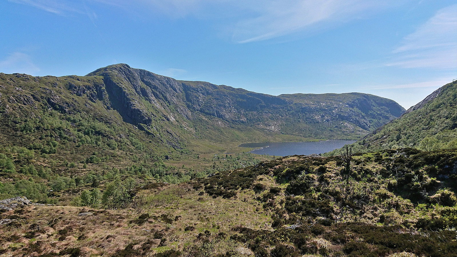
Melsåta provided excellent panoramic views and a great overview of both where I had come from and where I was heading next, namely Klovskardfjellet. In order to get there I had to descend all the way down to Klovskardvatnet, then head north, before starting the final ascent from the west. This did not provide any challenges, except that I had made the rookie mistake of not properly factoring in the total vertical meters of the hike when planning how long the trip would take me, especially as I now had to yet again descend, this time almost down to Botnavatnet, before the final ascent of the day to Mosavatnet.
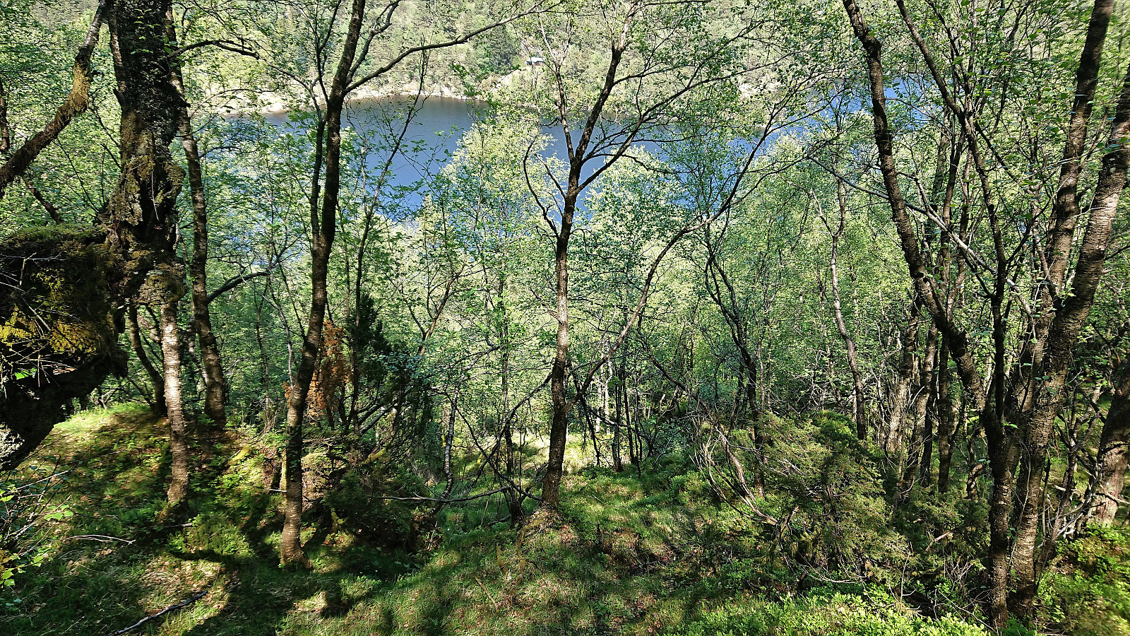
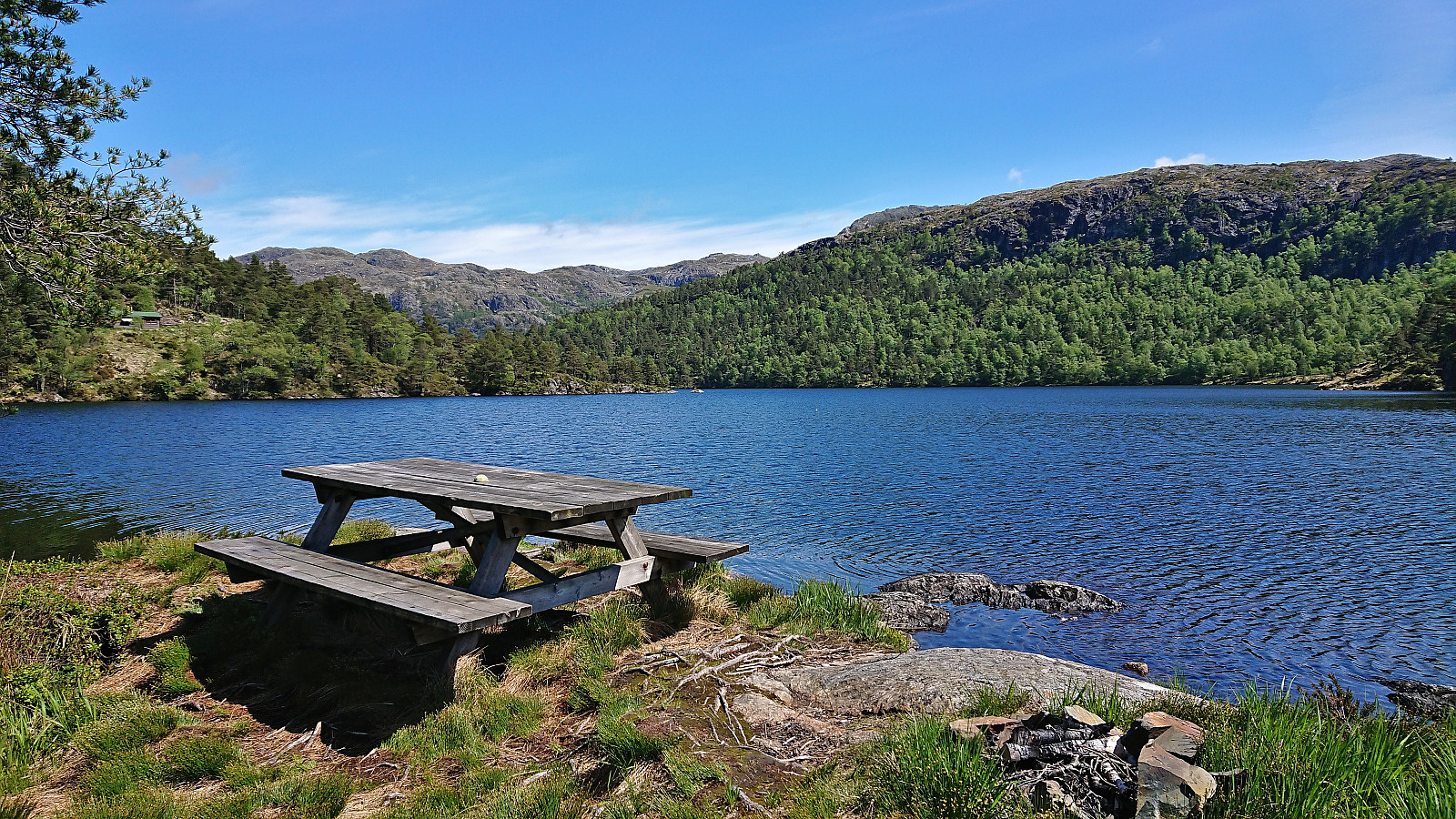
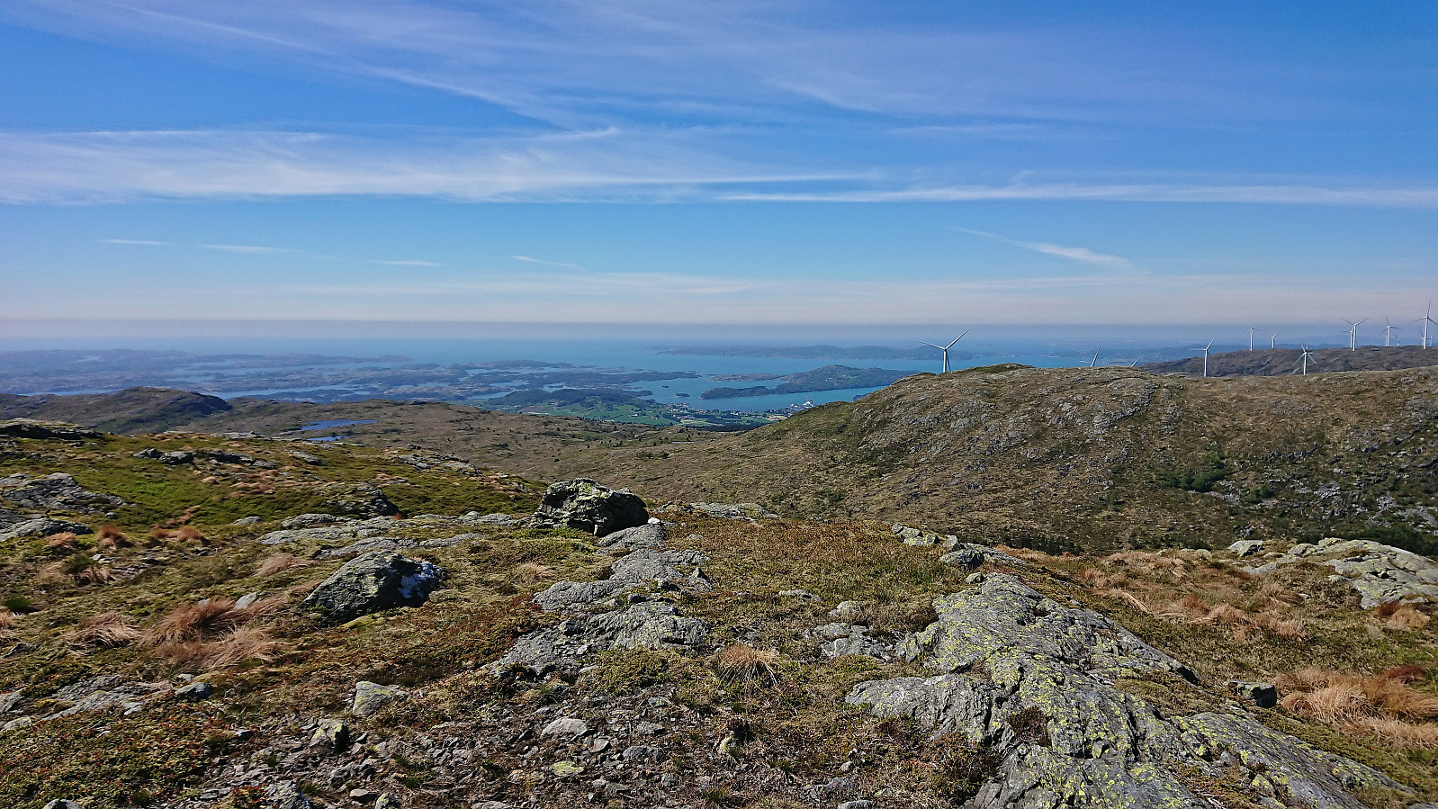
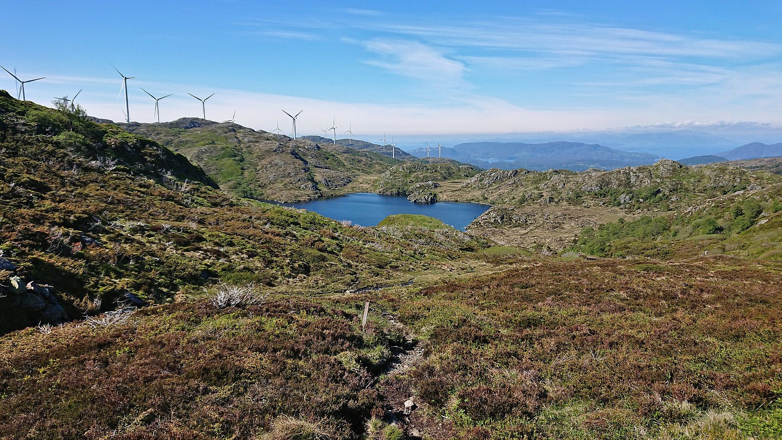
Only when reaching Svartavatnet and Kjeringjo, could I slow down as it was now clear that I would have sufficient time to catch the bus back to Bergen at Vistvik/Vestvik (bus stop called "Vestvik aust"). I could therefore take it relatively easy when following the tractor road down to the main road, getting to the bus stop with 10-15 minutes to spare.
In summary, this hike provided excellent views from all three summits, but while almost all of the hike followed marked trails, the trail quality was highly variable. The hike can overall be recommended, but I'm pretty sure that it should be possible to find a better route between Sæterbøfjellet and Melsåta.

| Starttidspunkt | 04.06.2022 11:20 (UTC+01:00 ST) |
| Sluttidspunkt | 04.06.2022 17:36 (UTC+01:00 ST) |
| Totaltid | 6t 16min |
| Bevegelsestid | 5t 43min |
| Pausetid | 0t 33min |
| Snittfart totalt | 3,4km/t |
| Snittfart bevegelsestid | 3,7km/t |
| Distanse | 21,4km |
| Høydemeter | 1205m |


Kommentarer