
Mönch (18.05.2022)

Skrevet av hmsv1 (Hannah Vickers)
| Startsted | Konkordia hut (2782moh) |
|---|---|
| Sluttsted | Monchjoch hut (3633moh) |
| Turtype | Alpin klatring |
| Turlengde | 9t 05min |
| Distanse | 11,2km |
| Høydemeter | 1583m |
| GPS |
|
| Bestigninger | Mönch (4107moh) | 18.05.2022 |
|---|
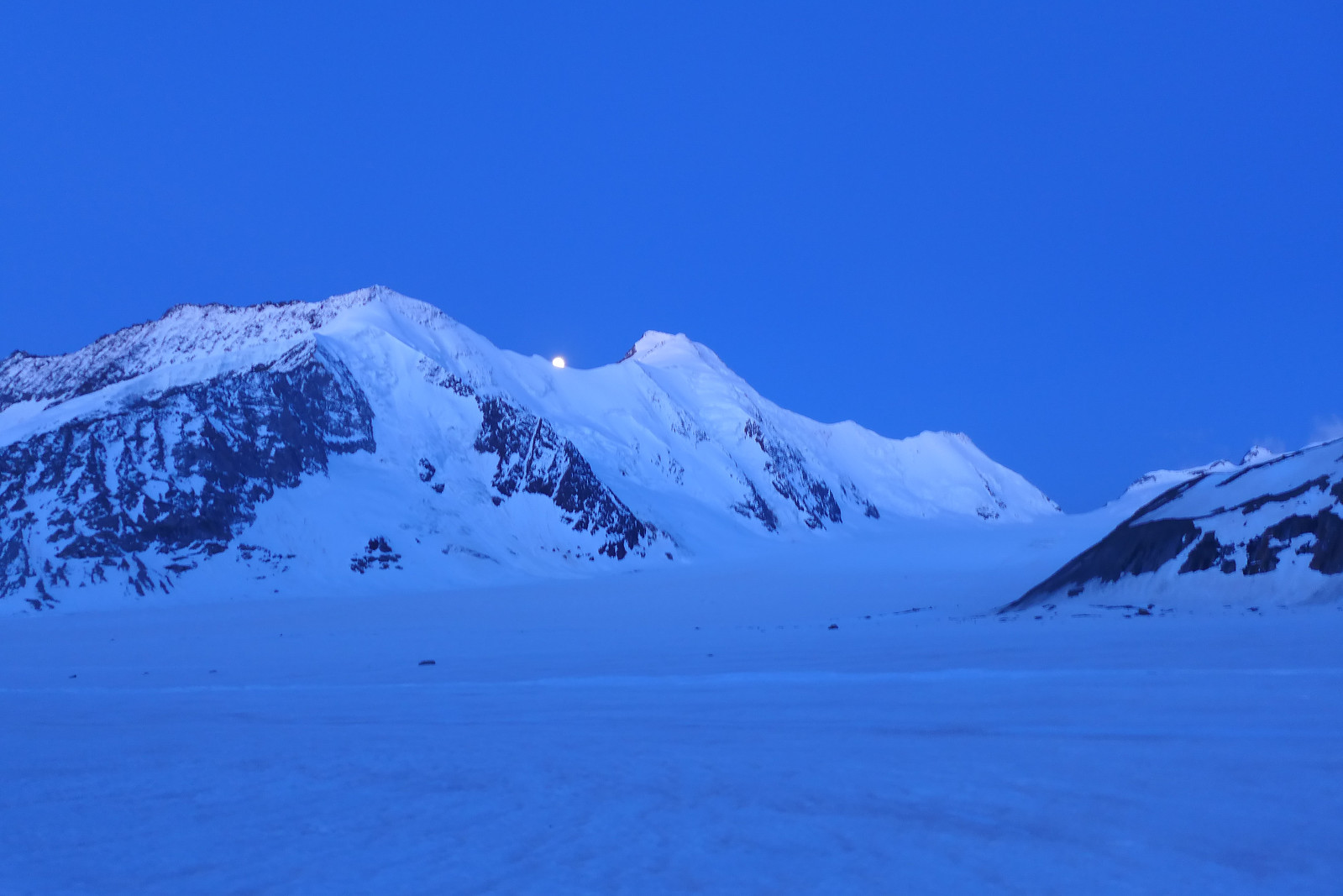
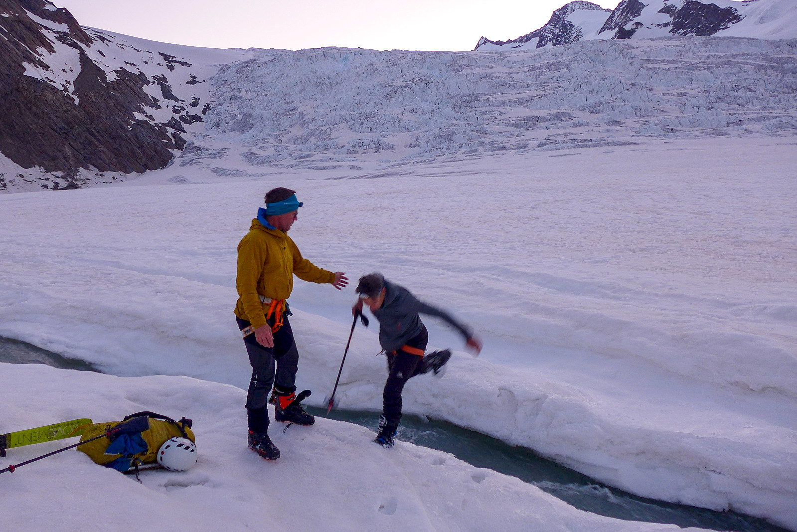
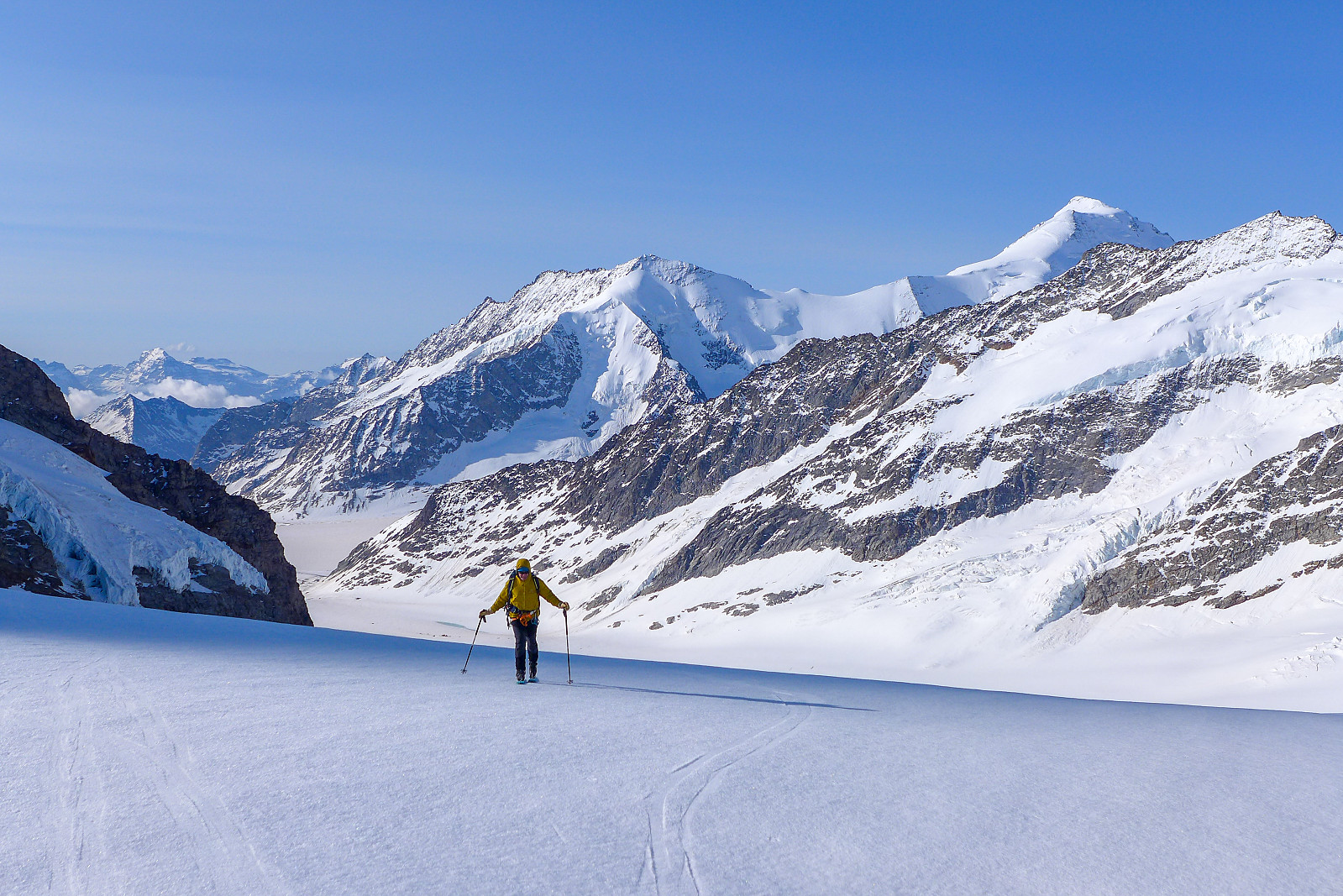
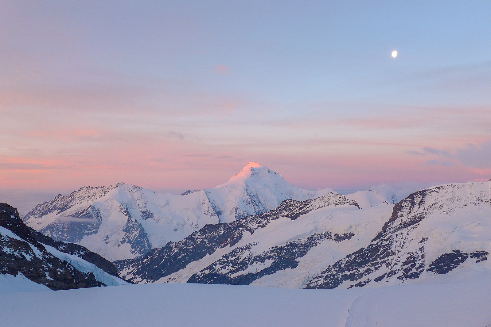
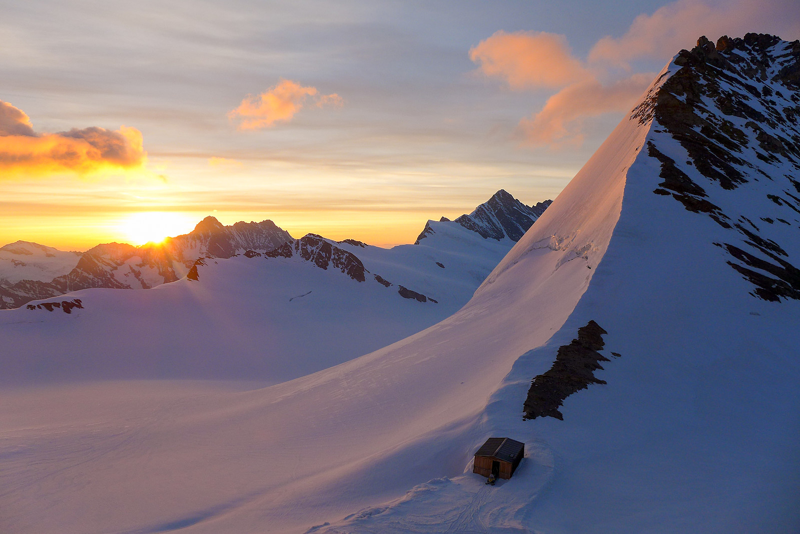
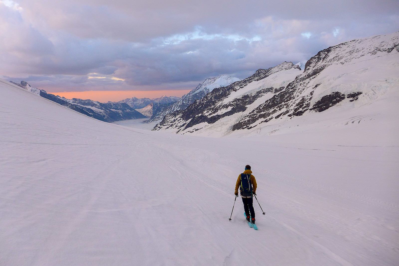
The day following our trip up the Gross Fiescherhorn was forecasted to be the sunniest day of the whole week, but we had already booked beds at the Mönchjoch hut so after a good dinner of risotto (with double helpings) and salad at the Konkordia hut we settled on a plan to skin up toward the hut and make an ascent of the Mönch via its southeast ridge on our way there the next day. The ski up to the start of the southeast ridge of the Mönch via the Jungfraufirn was expected to take some 4-5 hours, so it would be a long approach compared to the more popular way of climbing the Mönch - which usually involves taking the train up to the Jungfraujoch from Grindelwald and then spending the night at the Mönchjoch hut (a 45 minute walk from the Jungfraujoch) and doing it the day after. As a result we took another relatively early breakfast at 3.30am before making our way back down the 150m of stairs to the Aletschgletscher again. There was a little bit more wind this morning, but it was still another mild morning with clear skies nevertheless and it felt warmer than the previous morning. We skinned over pretty flat glacier for about an hour before dawn finally arrived and beautiful pink sky surrounded us. The effect of the warm weather over the past week had started to really show up on the glacier now, and open channels of meltwater had sprung up in several places, typically up to 1m wide in some places and presenting us with the first probem solving task of the day – which was to find a suitably narrow point to jump over without falling in. We ended venturing a little too far up the meltwater channel in the direction of the Jungfraufirn to start with, in the hope that it might be narrower there, but it wasn’t so we ended up searching a little further back. Rachel eventually found what seemed to be the most realistic spot for trying to jump across. After throwing skis and rucksacks over to the other side, we all made the brave attempt to jump over. Graham tested it out first and ended up catching one foot in some soft snow at the edge of the water and got a wet boot, but fortunately both Rachel and I made it across with dry feet, thanks to a helping hand from Graham at the other side. Probably lucky we weren’t trying to get over several days later – it might have become a bit too wide to jump across by then!
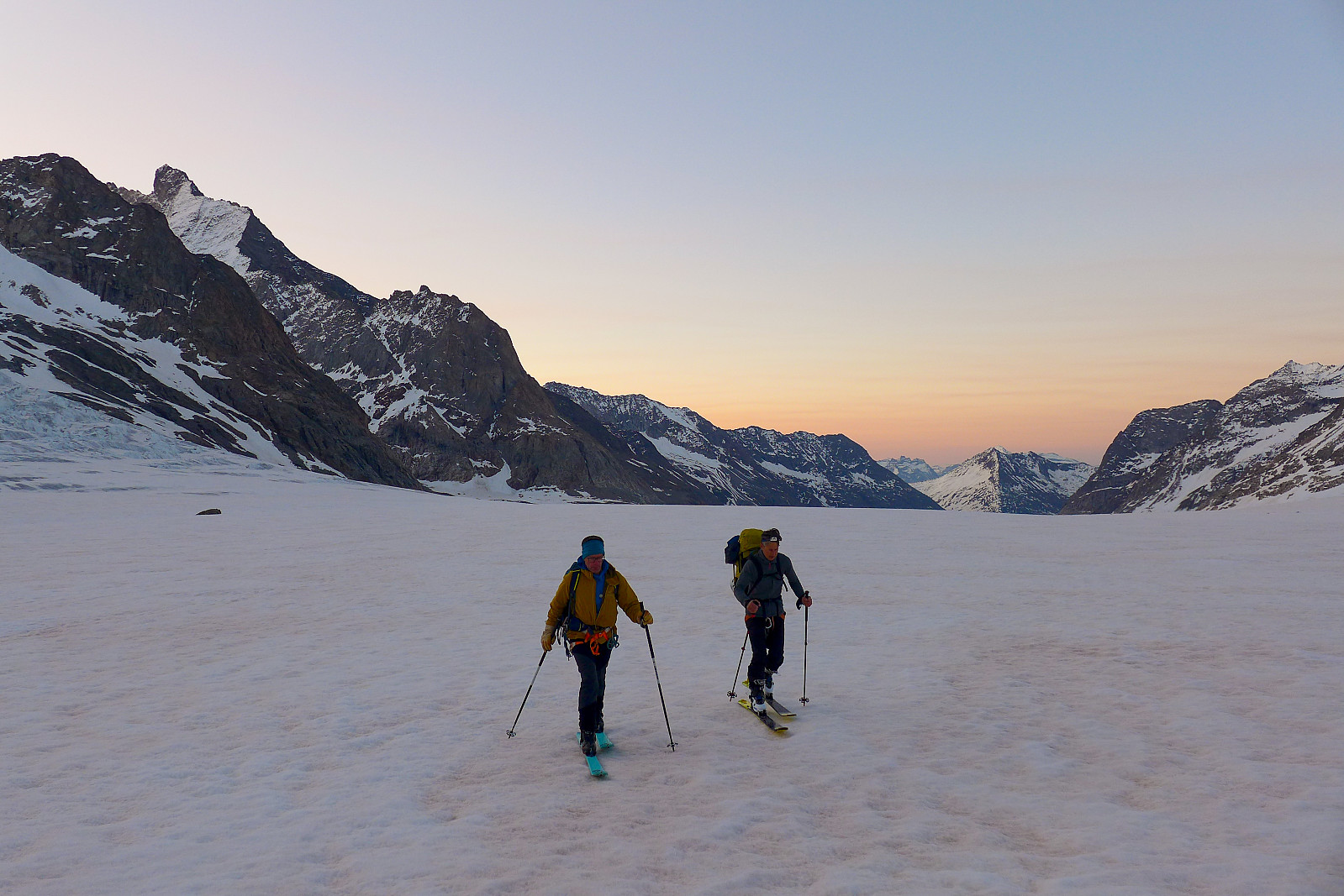
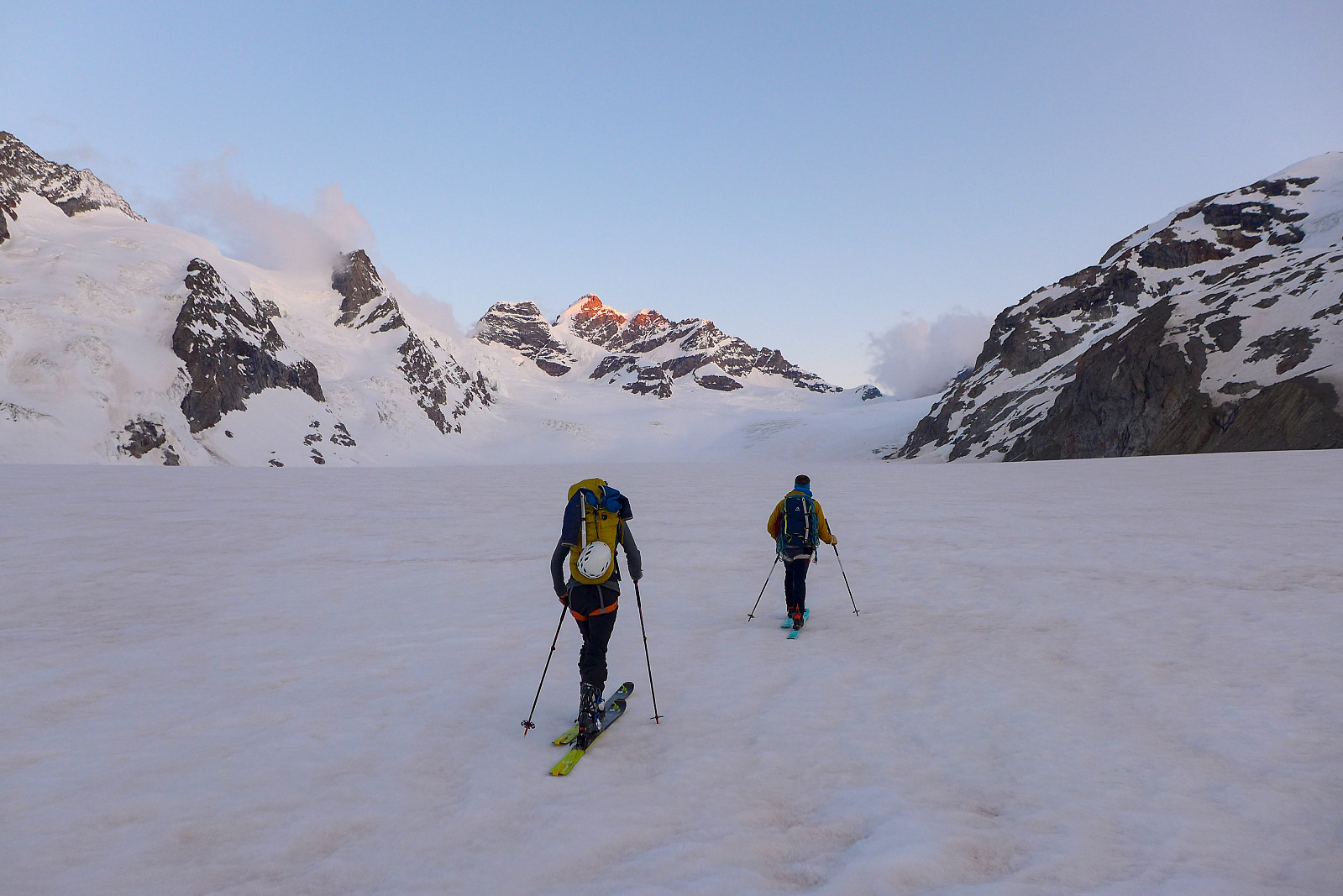
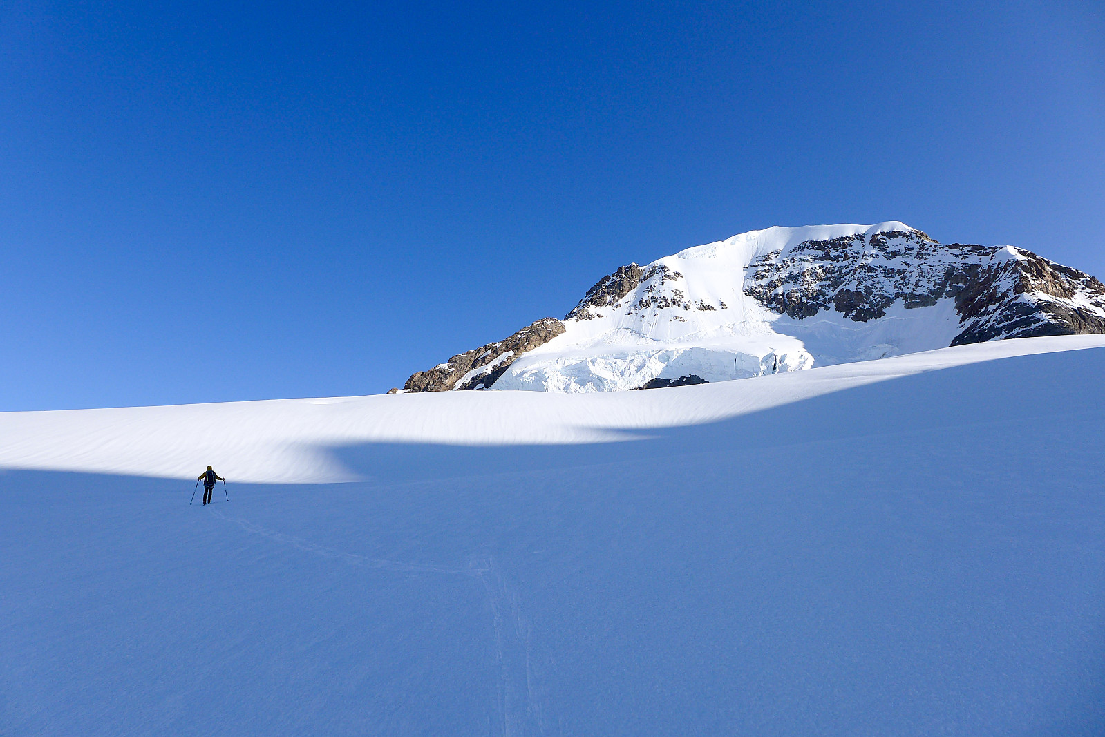
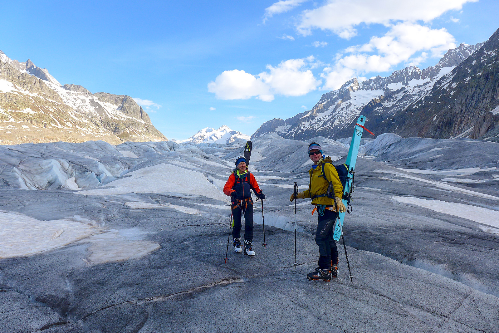
After that it was a straightforward skin straight up the Jungfraufirn, first heading in a northwest direction and then bearing northwards from around 3300m. Even though the sun had risen long ago, we spent more or less 90% of the approach skinning in the shade, which was a bit boring for photos, but kept us nice and cool while carrying heavy rucksacks. We eventually popped out into some nice sunshine at about 8.45am, shortly before we arrived at the piste between the Jungfraujoch and Mönchjoch hut. Unfortunately Rachel managed to lose her phone which had silently slid out of her rucksack and all the way down the glacier (and probably into a crevasse) just as we were stopping to admire the views and the warmth of the first rays of sun… After she realised there was no way we would be able to find it, we eventually continued on towards the foot of the southeast ridge of the Mönch – and here we took a well deserved long second breakfast sitting in the warm morning sun just after 9am. All our extra stuff we didn’t need to climb was left in a bag with our skis and we got ourselves ready to climb the final 500m or so to the summit, allthough I admittedly had slightly tired legs and was unsure whether I’d make it up another 500m of elevation at over 4000m. On the plus side I definitely had a lot more energy than I’d had the previous morning skinning up the Gross Fiescherhorn. Probably a combination of being better acclimatised, sleeping better and eating better the night before.
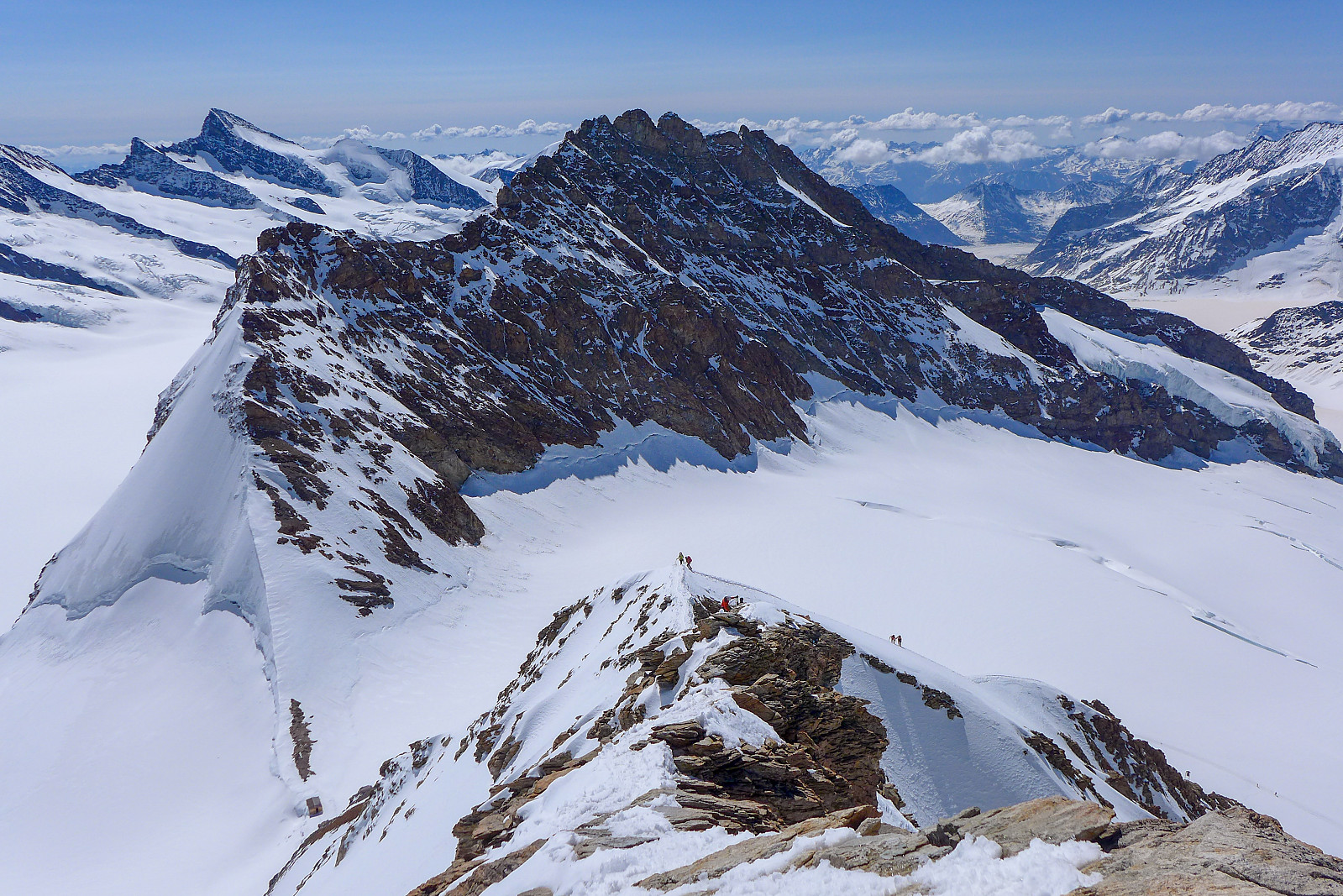
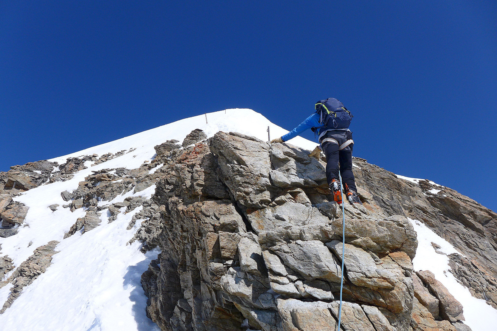
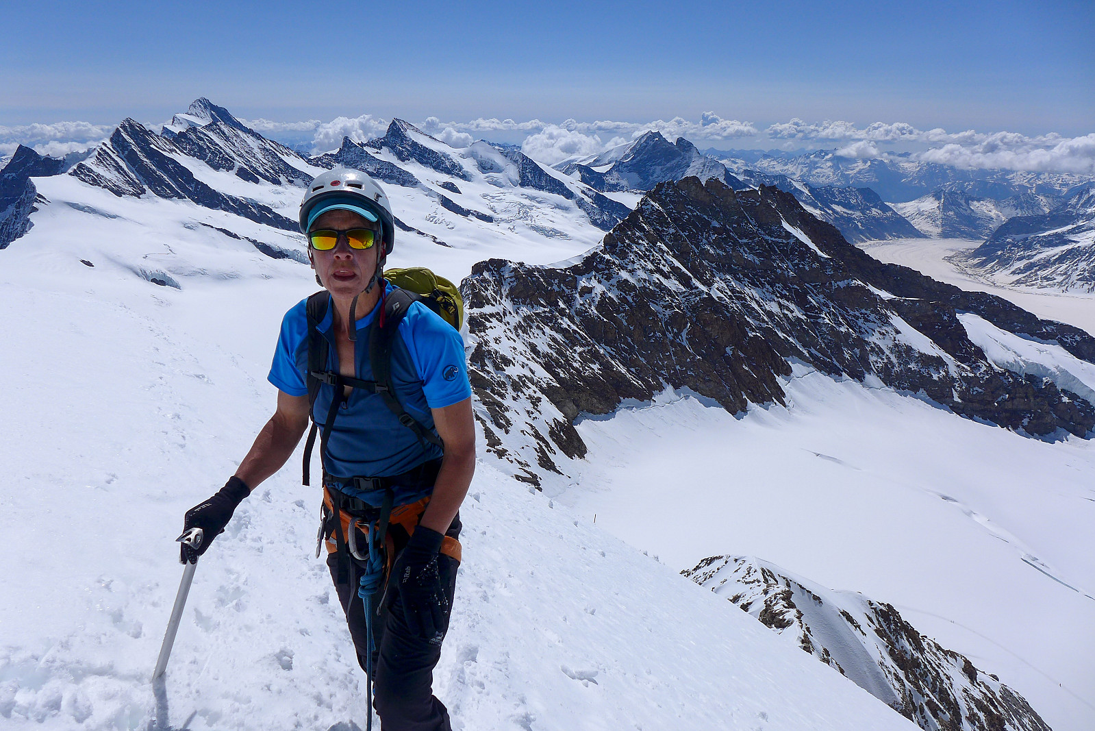
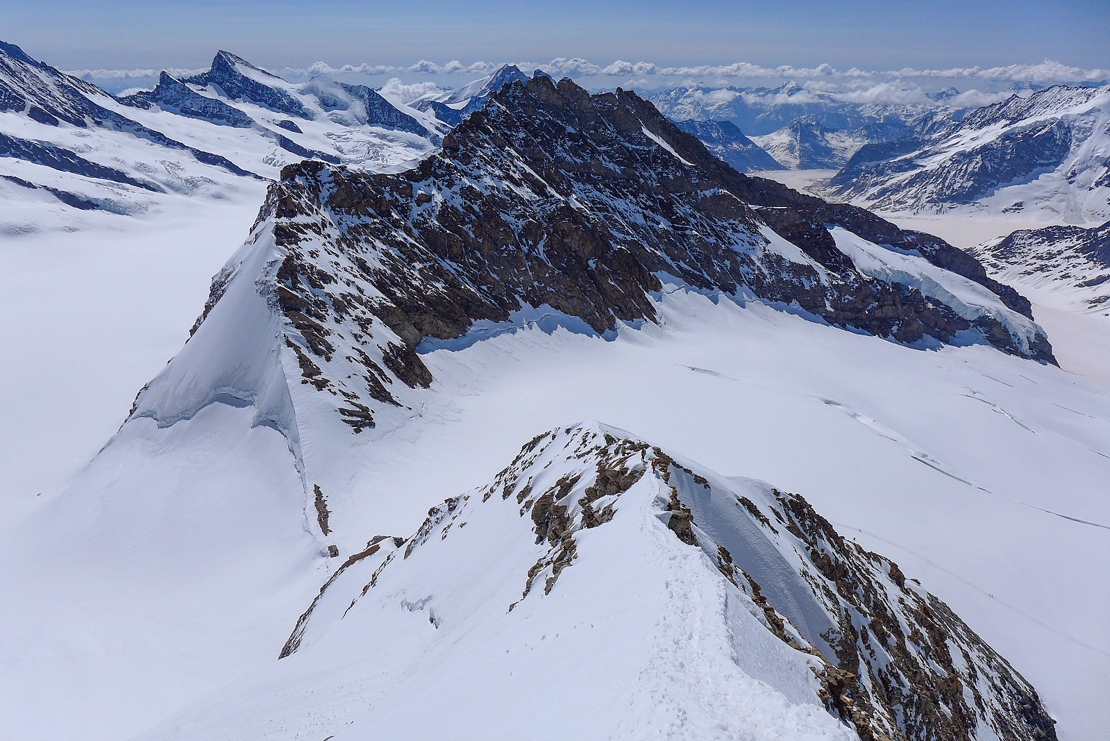
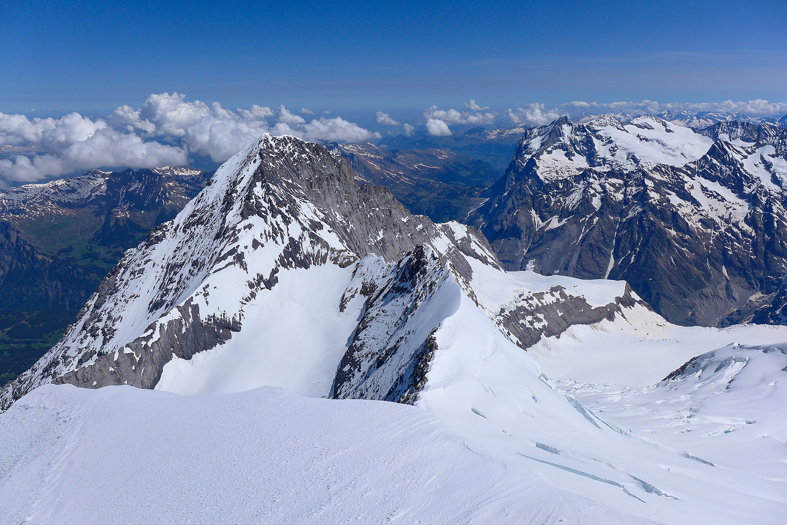
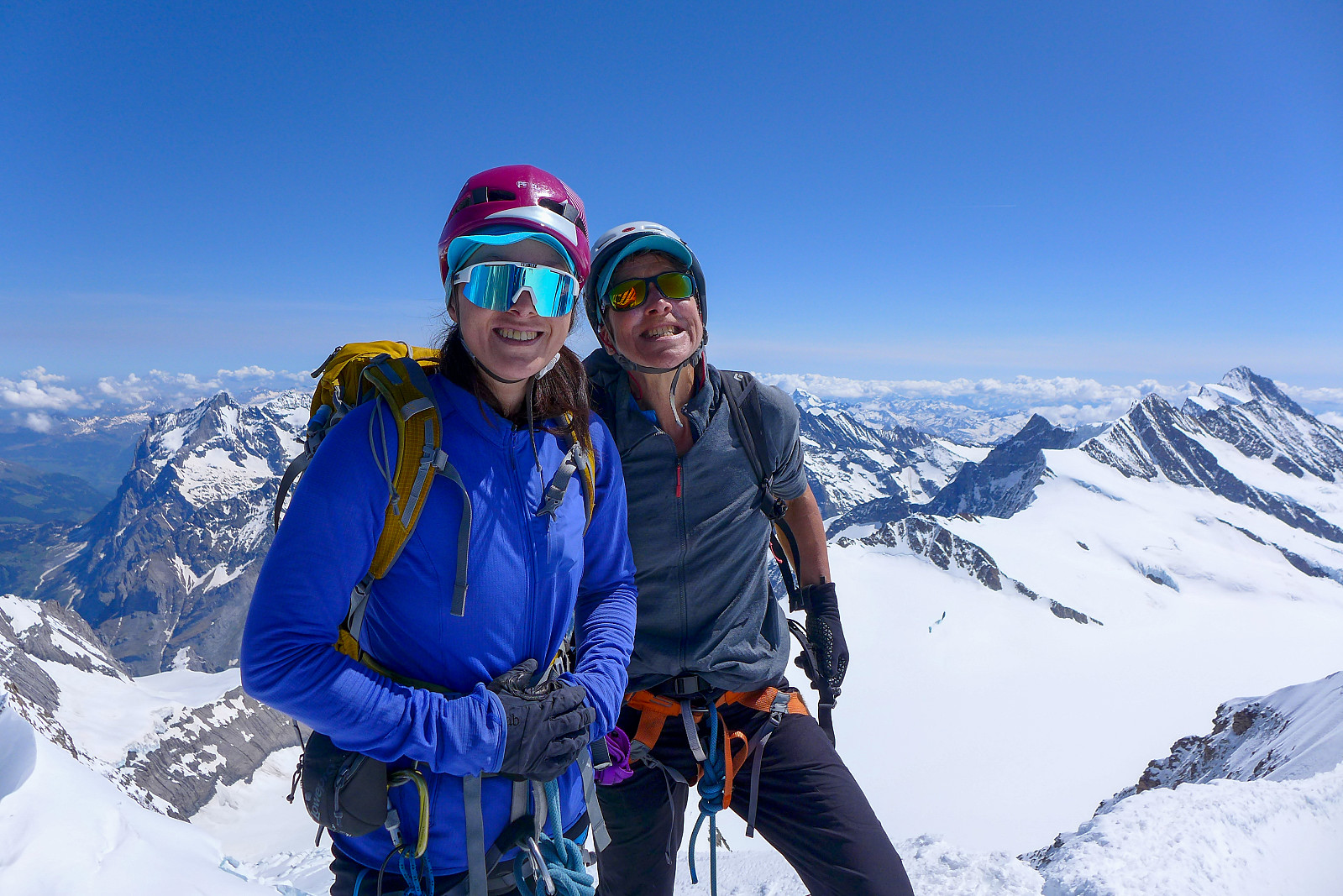
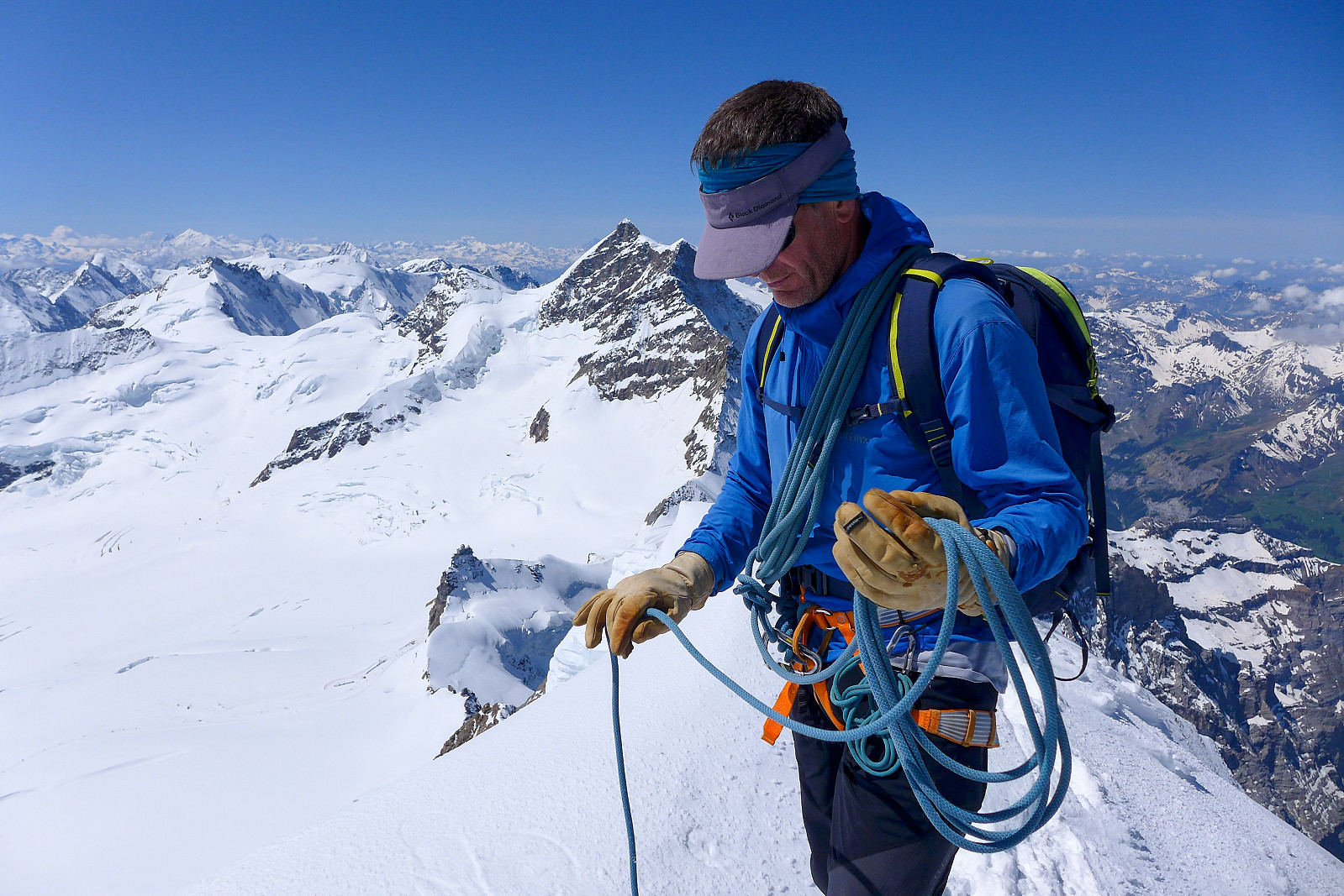
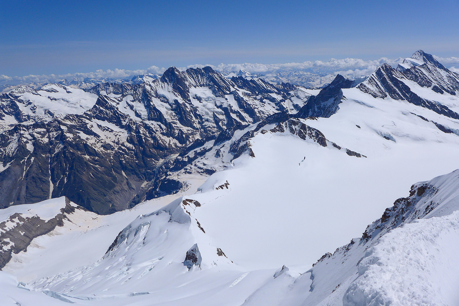
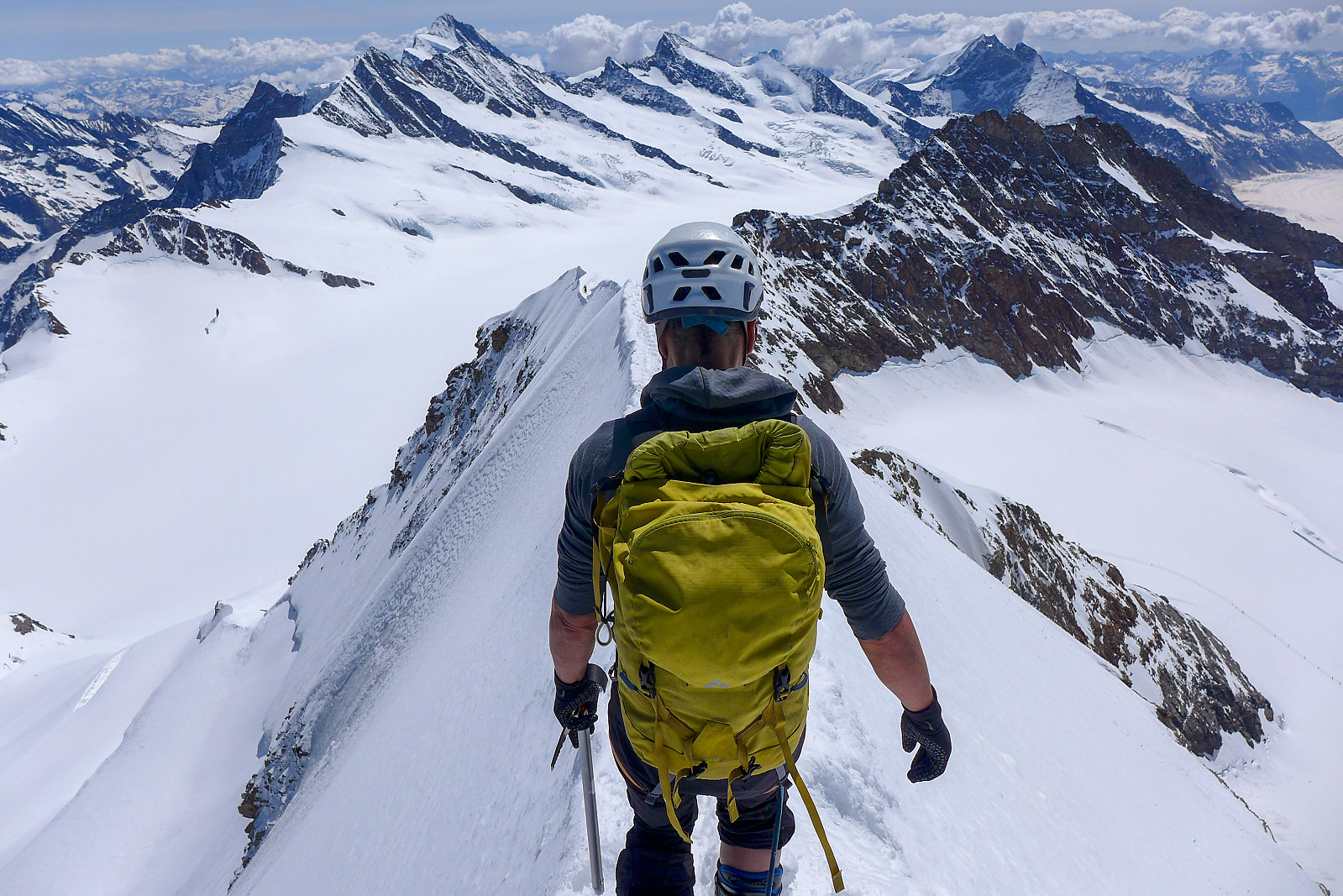
We approached the ridge from just around the corner from where we’d made a ski depot, with the initial climb up to the ridge made on some pretty rubbish loose rock in a kind of corner formation. Fortunately the quality of the rock improved – albeit very gradually. We put crampons back on after having got past the worst rocks lower down on the ridge. From crampon point there was a mix of snow-covered rock and a snow traverse around the left side of the ridge, which eventually steepened up as we got to the crest of the ridge. Here it was by now so hot that both Rachel and I saw no other option than to make the rest of the climb in t shirts, so we took a small break to take off jackets and put on more suncream. We basically followed the ridge crest all the way to the summit; it was a mix of walking up a narrow(ish) snow crest with sections of easy scrambling rock in-between the snow sections. There were some pretty cool views behind us now with a lot of other people along the route to give it some persepctive! Fortunately it never got too crowded though. The final snow ridge up to the summit felt a bit strenuous since it was basically steep hiking – not steep enough to have to front point but steep enough to make it feel like hard work. Eventually it eased off though and the final 100-200m along the summit ridge were relatively flat but exposed. It was pretty cool to look down on the steep northeast?) face to the right of the ridge. It would have been a pretty direct way straight down to the glacier below… After about 2 hours of climbing we made it to the small summit, which was more or less just big enough to accommodate the three of us. There wasn’t a lot of room for switching places though! After some obligatory summit photos we began our way back down since we could see several other teams approaching the last traverse across to the summit. Didn’t really want to end up in a traffic jam in the exposed spots!
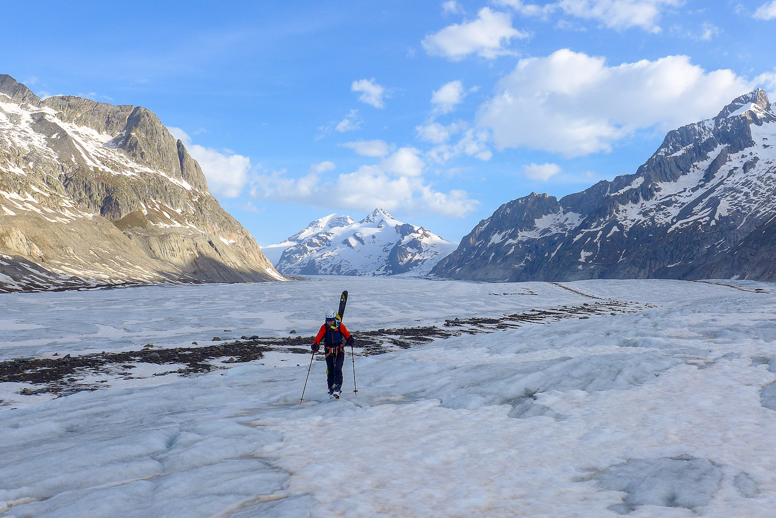
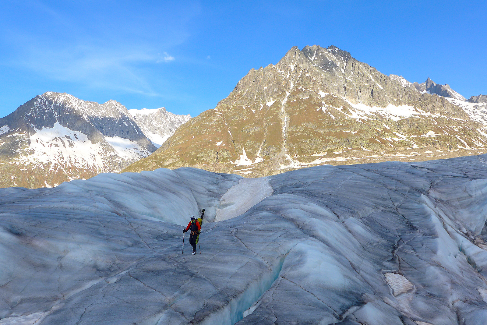
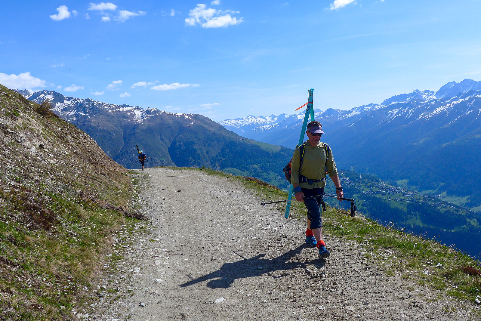
It took about an hour for the three of us to descend back to the ski depot, and from there it was a short – but very hot 10 minute skin across to the Mönchjoch hut, so we arrived just after 1pm, pretty satisfied with another stunning day in the Bernese Oberland :-) Unfortunately the weather the following 2 days didn’t quite behave as Meteoswiss had forecasted, so we ended up dropping our plans to climb the Jungfrau and instead skied back down some terrible raincrust on the Jungfraufirn and then skated down most of the Aletschgletscher on soggy snow that hadn’t refrozen overnight. As we approached the end of the snowline some patches of ice came in useful for making the descent a bit faster than skating/pole pushing on slush! Since all the snow we’d skied down at Märjelensee had disappeared we ended up hiking the rest of the way back out to Fiescheralp – in total 23 km from the Monchjoch hut but it «only» took 4 hours. Its fascinating how easy walking uphill from the glacier with a heavy rucksack felt after having spent 4 days above 2700m ;-)
| Starttidspunkt | 18.05.2022 04:17 (UTC+01:00 ST) |
| Sluttidspunkt | 18.05.2022 13:22 (UTC+01:00 ST) |
| Totaltid | 9t 05min |
| Bevegelsestid | 7t 42min |
| Pausetid | 1t 23min |
| Snittfart totalt | 1,6km/t |
| Snittfart bevegelsestid | 1,9km/t |
| Distanse | 14,6km |
| Høydemeter | 1467m |


Kommentarer