
Trollevassnibba and Steinsfjell from Ulveråker (01.05.2022)

Skrevet av hbar (Harald Barsnes)

| Startsted | Ulveråker (50moh) |
|---|---|
| Sluttsted | Ulveråker (50moh) |
| Turtype | Fjelltur |
| Turlengde | 5t 17min |
| Distanse | 15,9km |
| Høydemeter | 832m |
| GPS |
|
| Bestigninger | Målefjell (307moh) | 01.05.2022 |
|---|---|---|
| Steinsfjell (371moh) | 01.05.2022 | |
| Trollevassnibba (431moh) | 01.05.2022 | |
| Valesåta (280moh) | 01.05.2022 |
Trollevassnibba and Steinsfjell from Ulveråker
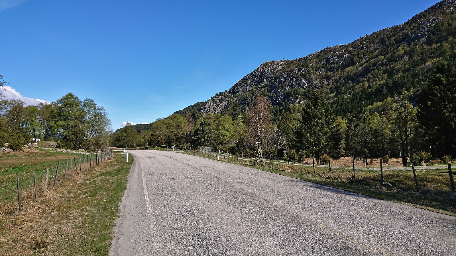


My first hike in Sveio! I started by taking the express bus from Bergen and got off at the first stop after the long undersea tunnel from Stord via Føyno. This location was named Ulveråker on the map, while the bus stop was called "Ulveraker nord". In any case, I headed north along a smaller side road not expecting much traffic, especially as there was no side walk except for at the very start. However, during my short walk to the marked trailhead I was passed by what had to be upwards of a hundred motorcycles. I later learned that they have a large gathering in this area on May 1st every year.
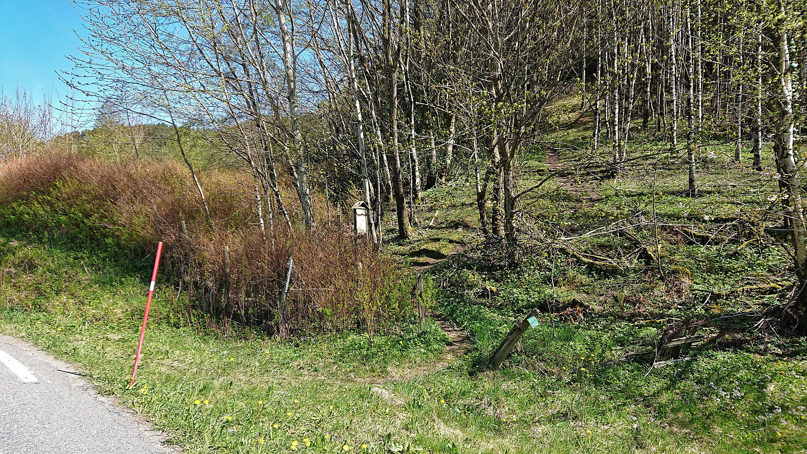
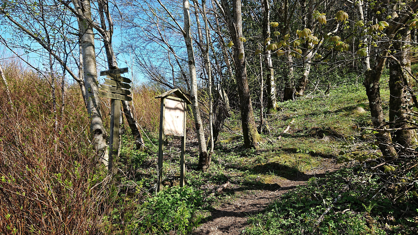
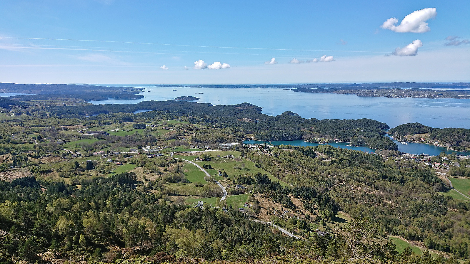
After passing close by the house of composer Fartein Valen, I arrived at the marked trailhead west of Valesåta and follow the, at the start, relatively steep trail east. Before turning towards Trollevassnibba, I made a short detour to Valesåta, still on a nice trail, and it provided excellent views. There I could see and hear the maybe more than hundred motorcycles now starting their trip south after having gathered at Valevåg.
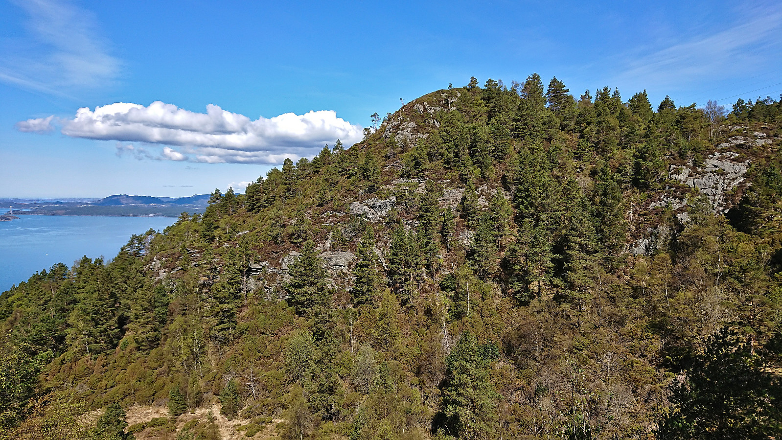
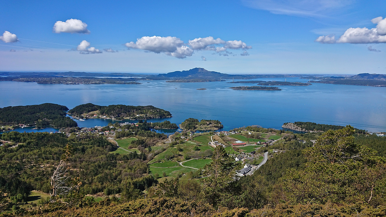
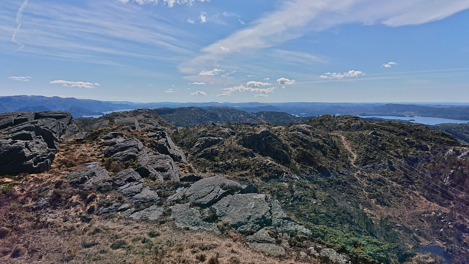
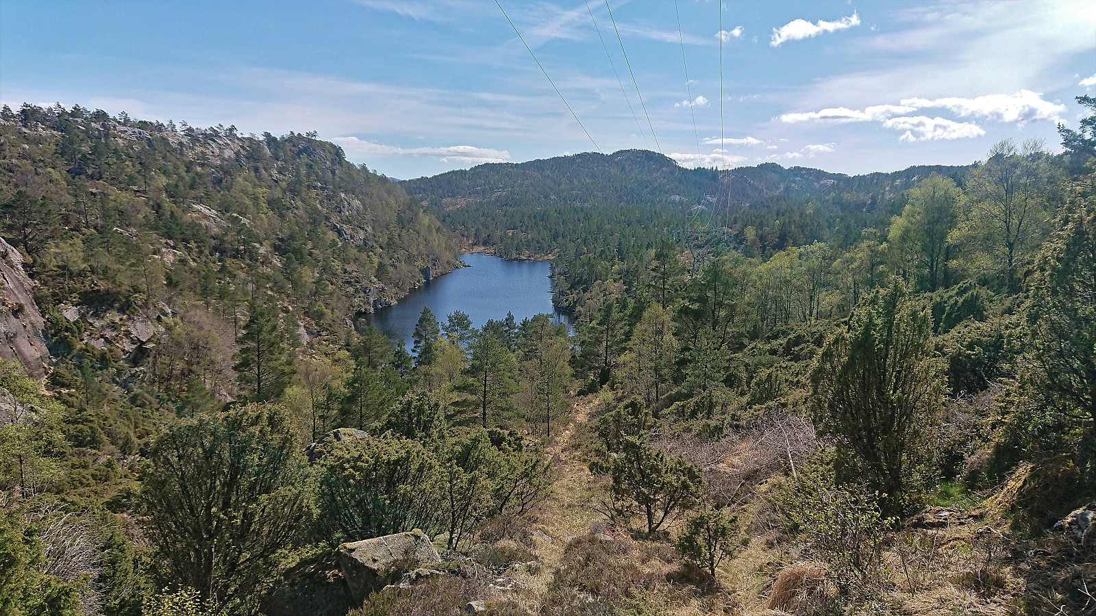
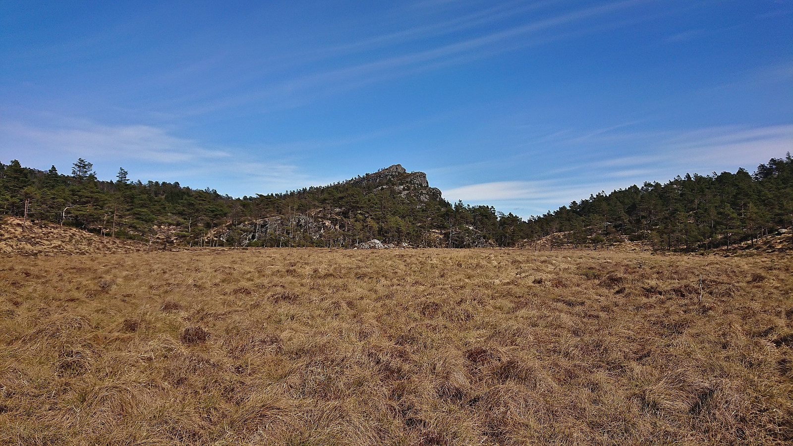
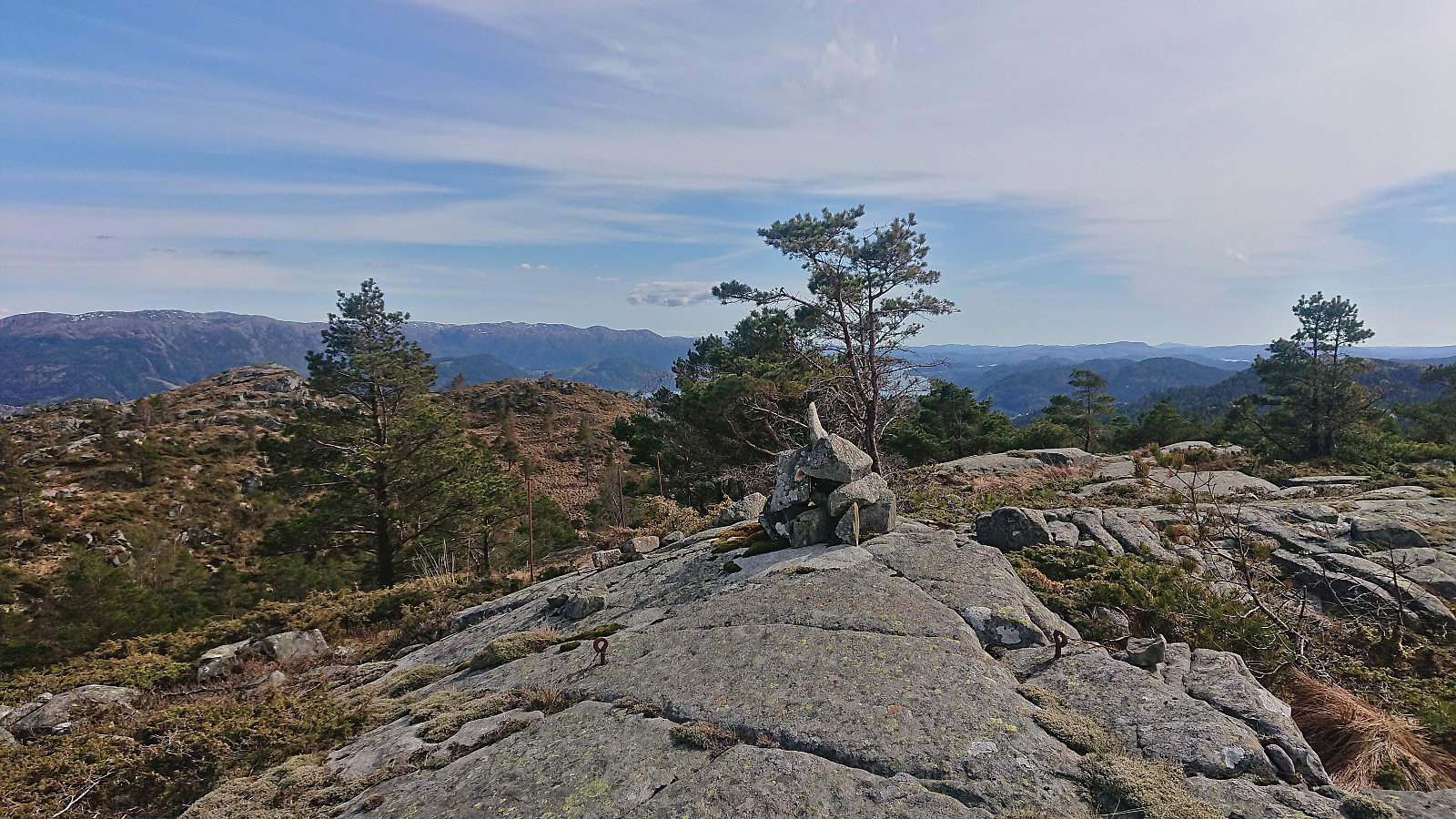
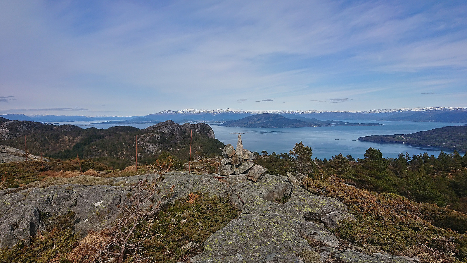
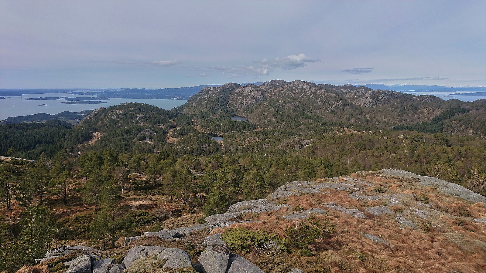
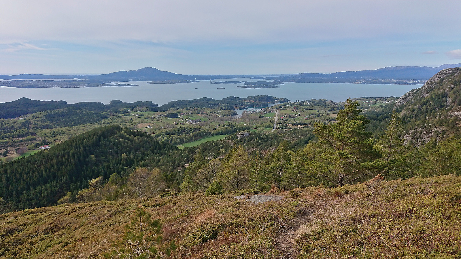
From Valesåta, I made a U-turn and headed south along the trail to the summit of Trollevassnibba. Spectacular panoramic views and a good place to inspect the terrain towards Steinsfjell. The direct route was clearly not an option. Hence, I started descending along my ascent route, planning to go all the way back to where the trail forked and from there head south to Trollvatnet along the trail indicated on the map.
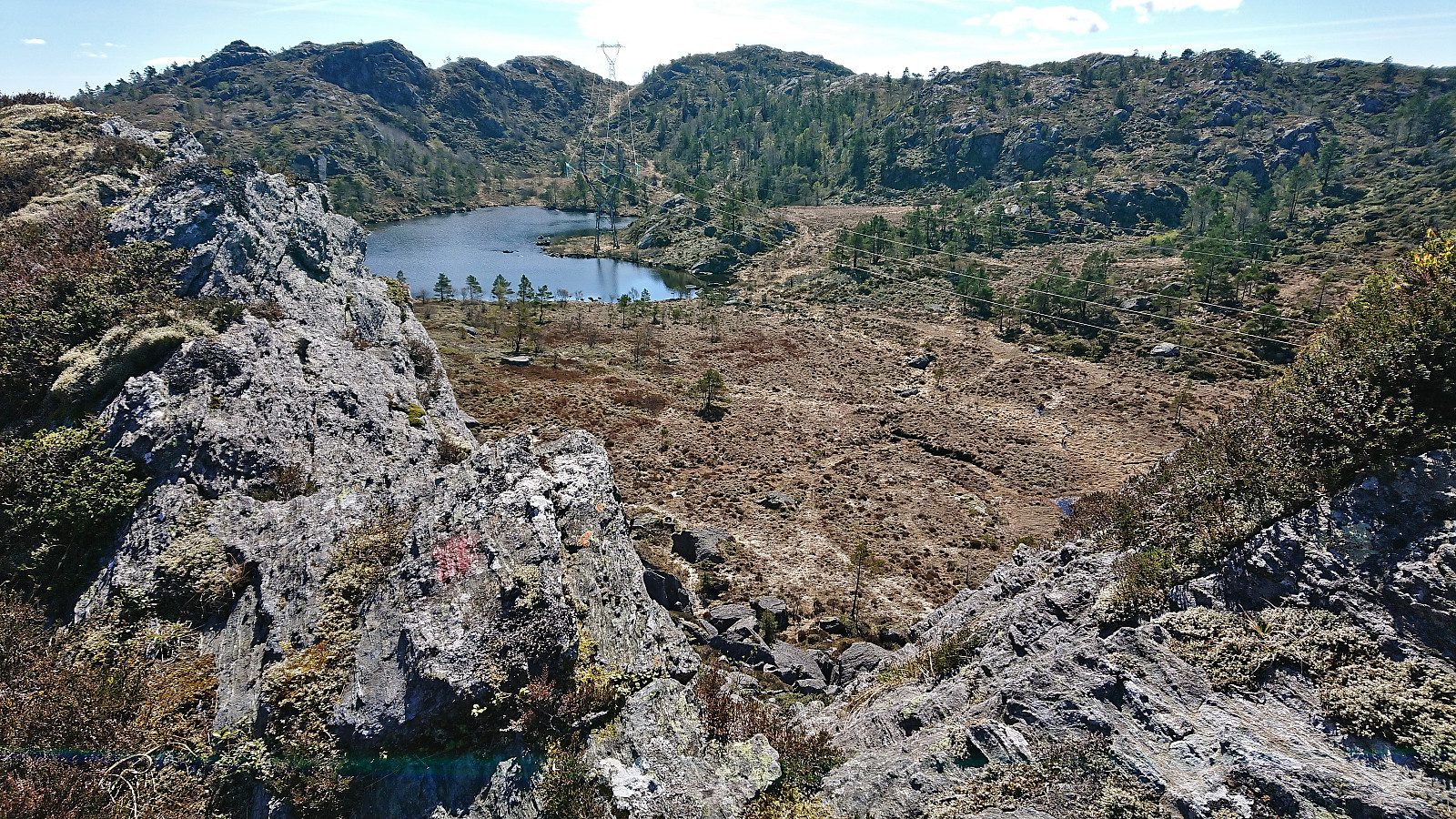
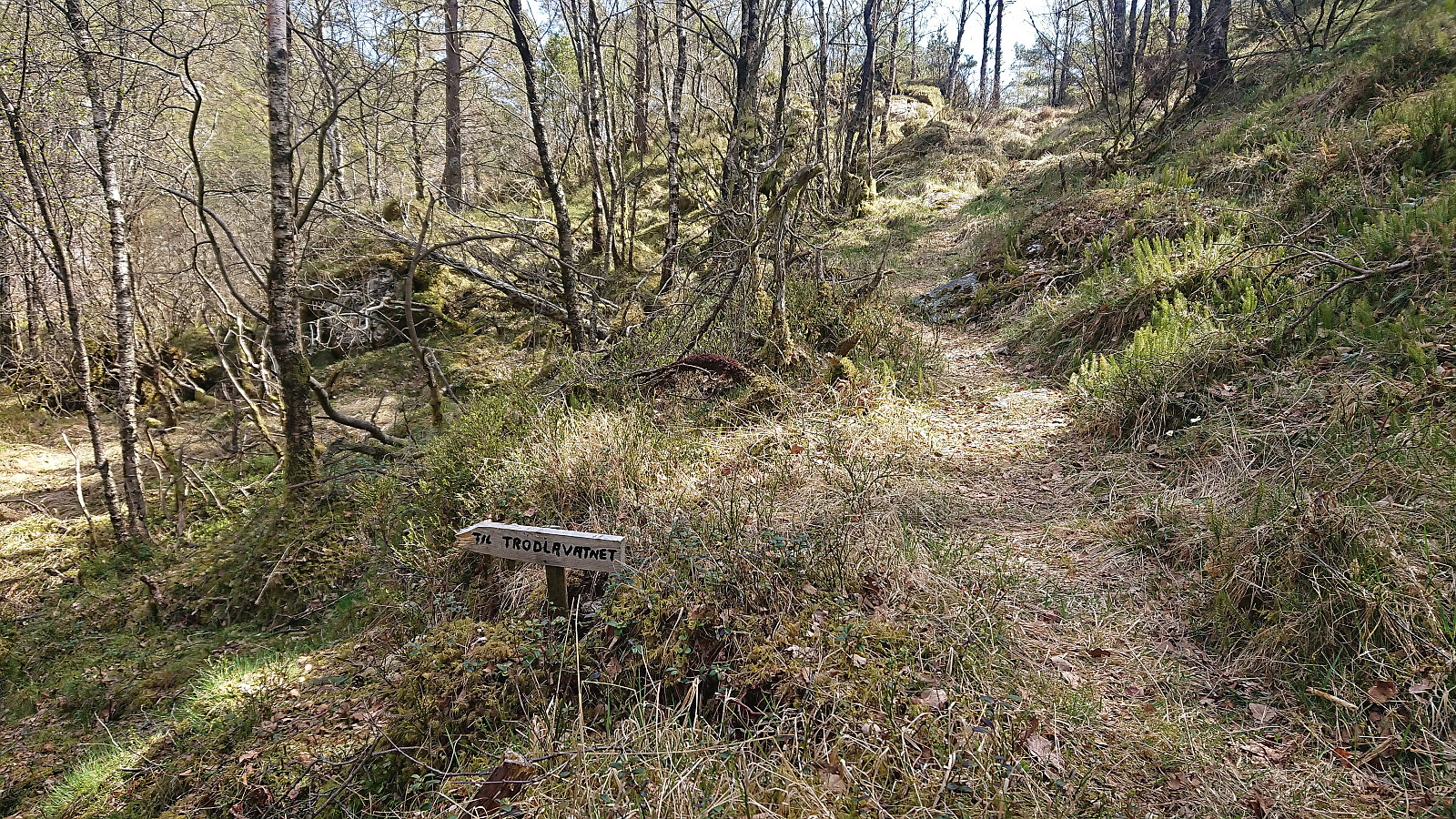
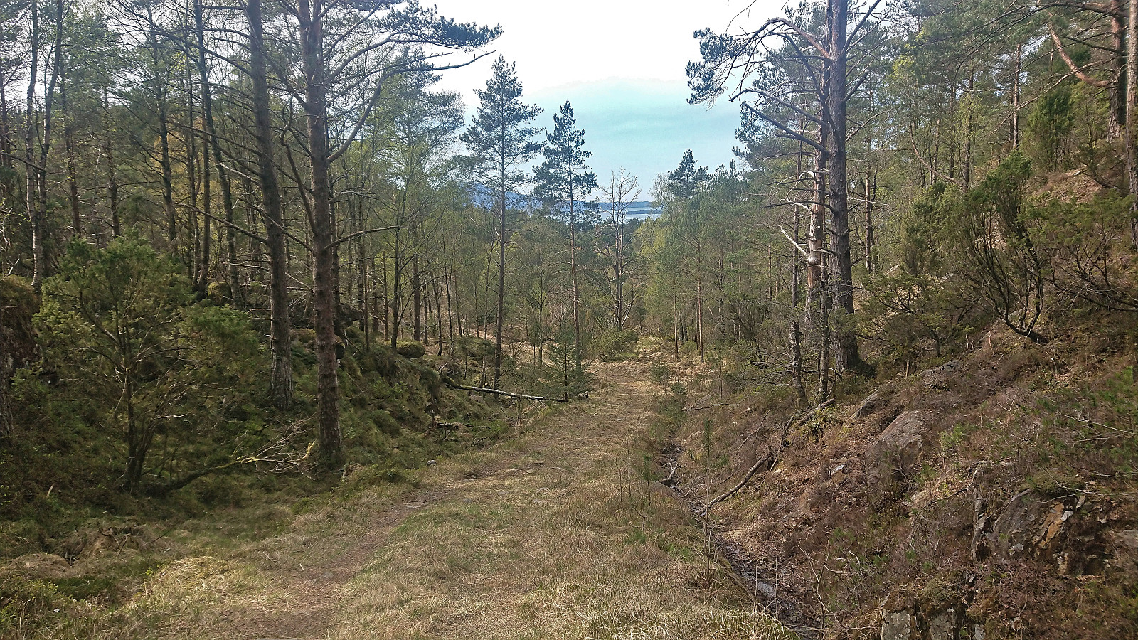
Shortly I however came across another trail marked with red paint and a sign for Trodlavatnet. The fact that the red trail markers were fading and that the trail did not seem to get much use should have been a clue, but at least it did guide me easily down to Trollvatnet. But here the trail and markers completely disappeared in a larger wet area, and even though I went to where the trail was indicated on the map, it could at best be described as weak and looked more like an animal track. It did however take me down to Vassdaltjørna and just as I was starting to think that now I am definitely on a deer track and not a trail, I connected with a slightly more distinct trail with a sign for Trodlavatnet pointing in the direction I had come from. So maybe I'm not the only human using this trail/track after all.
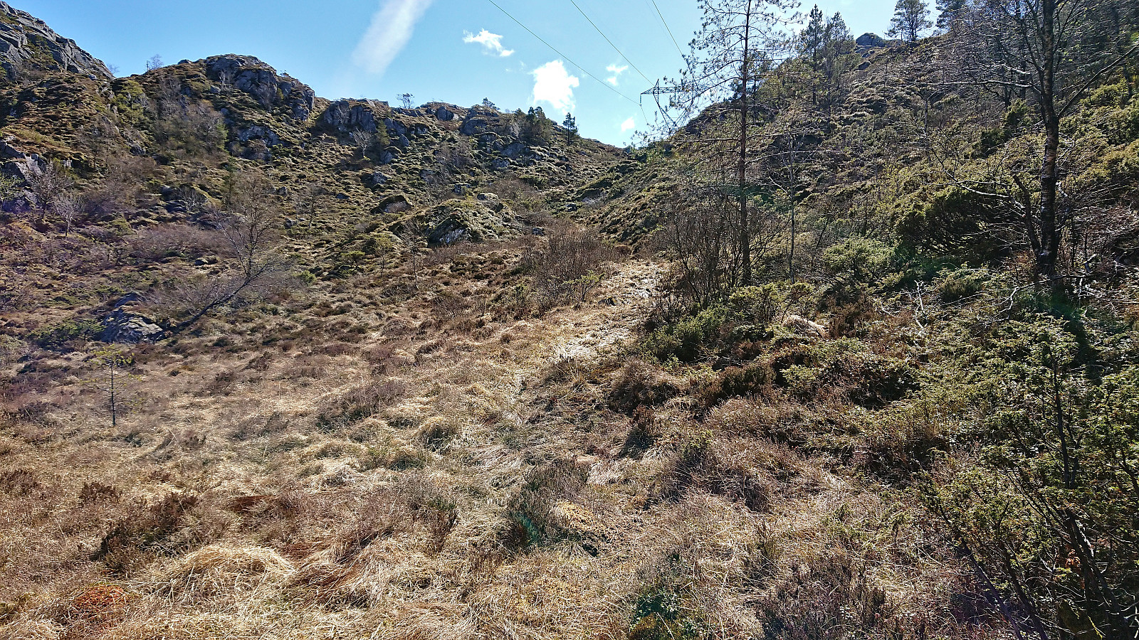
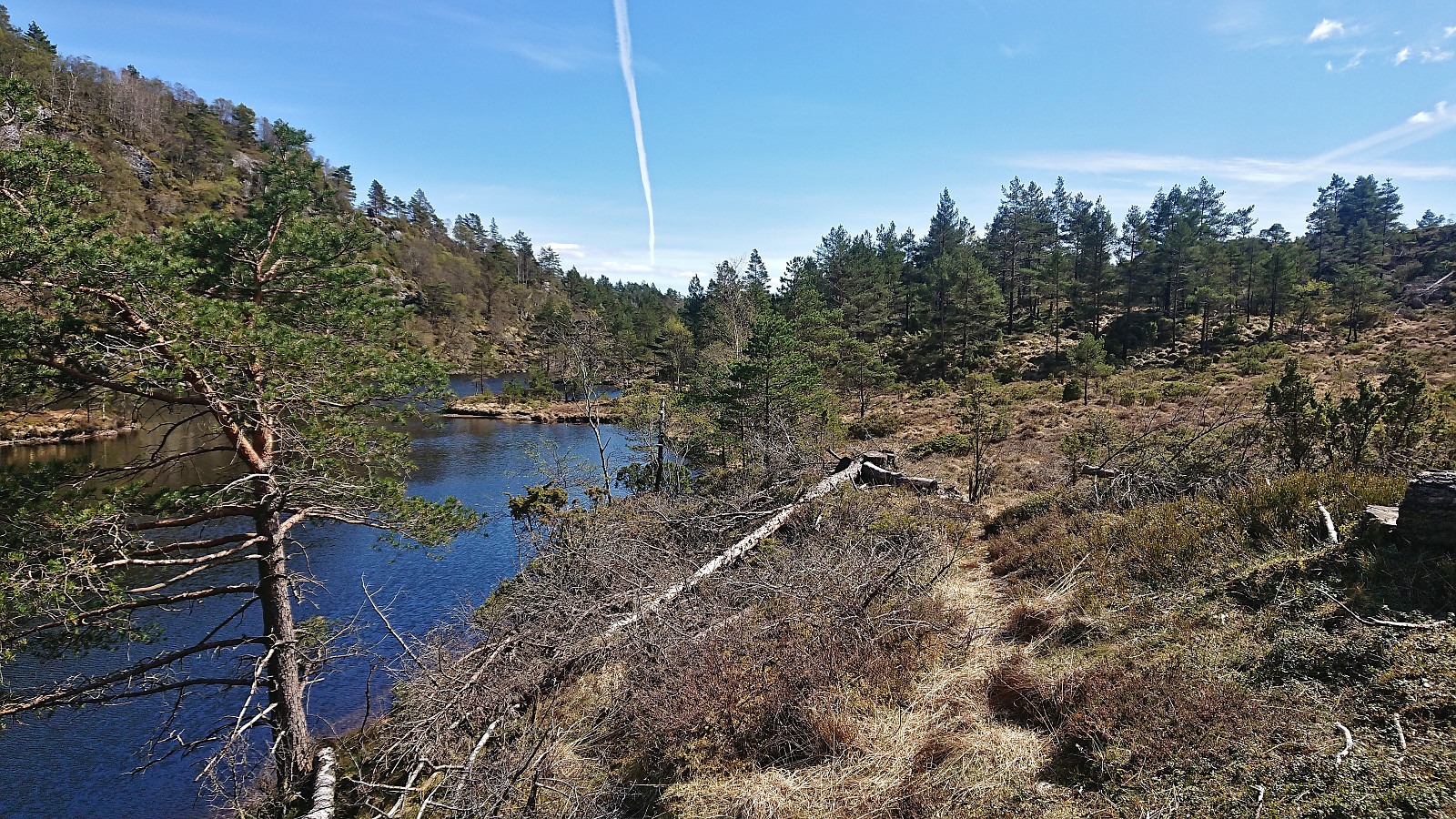
I continued south/southeast along Vassdaltjørna, thinking that it would be best to follow the trail as far as possible. And while the trail kept getting weaker, it was still better than having no trail at all. When the trail finally ended, I simply headed off-trail in the direction of Steinsfjell, following various deer tracks when these seemed to be heading in the right direction. I even spotted two deer when I crossed an open wet area north of the summit.
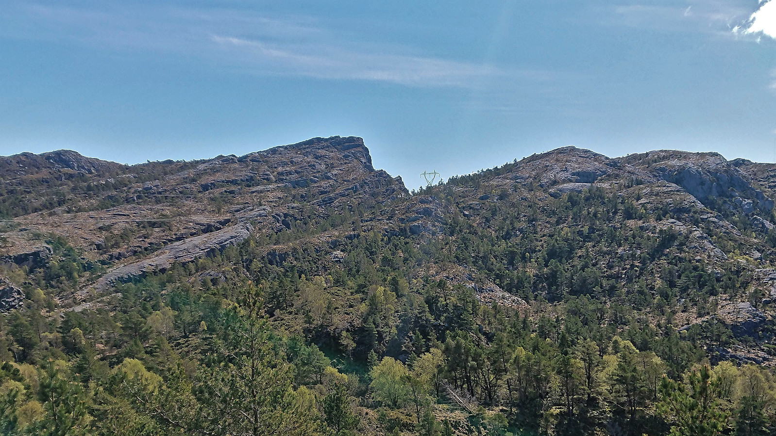
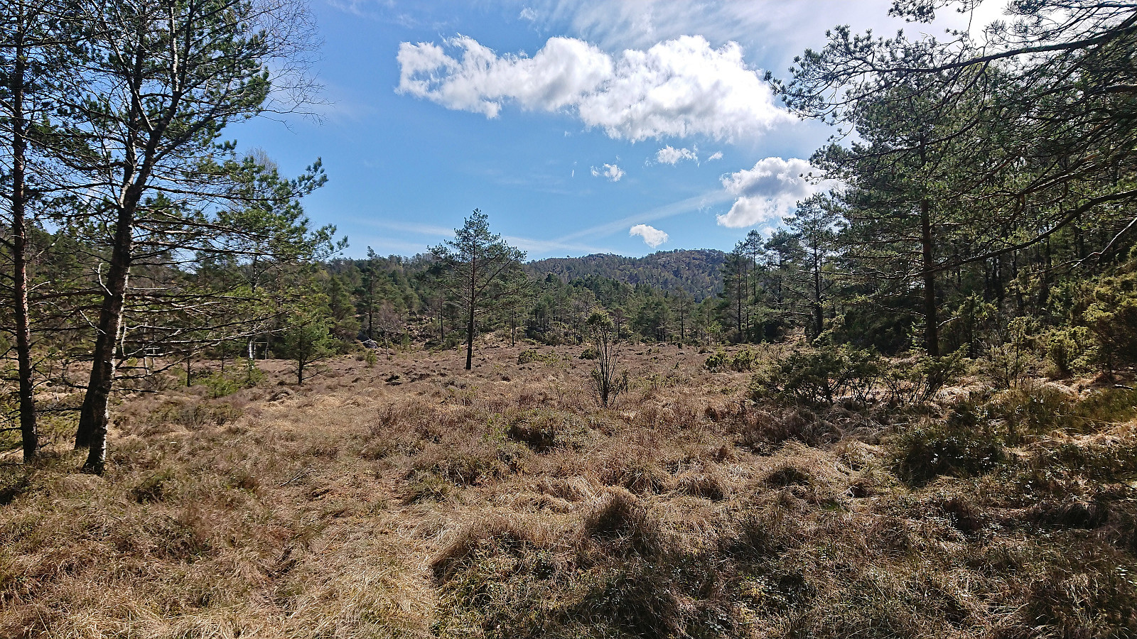
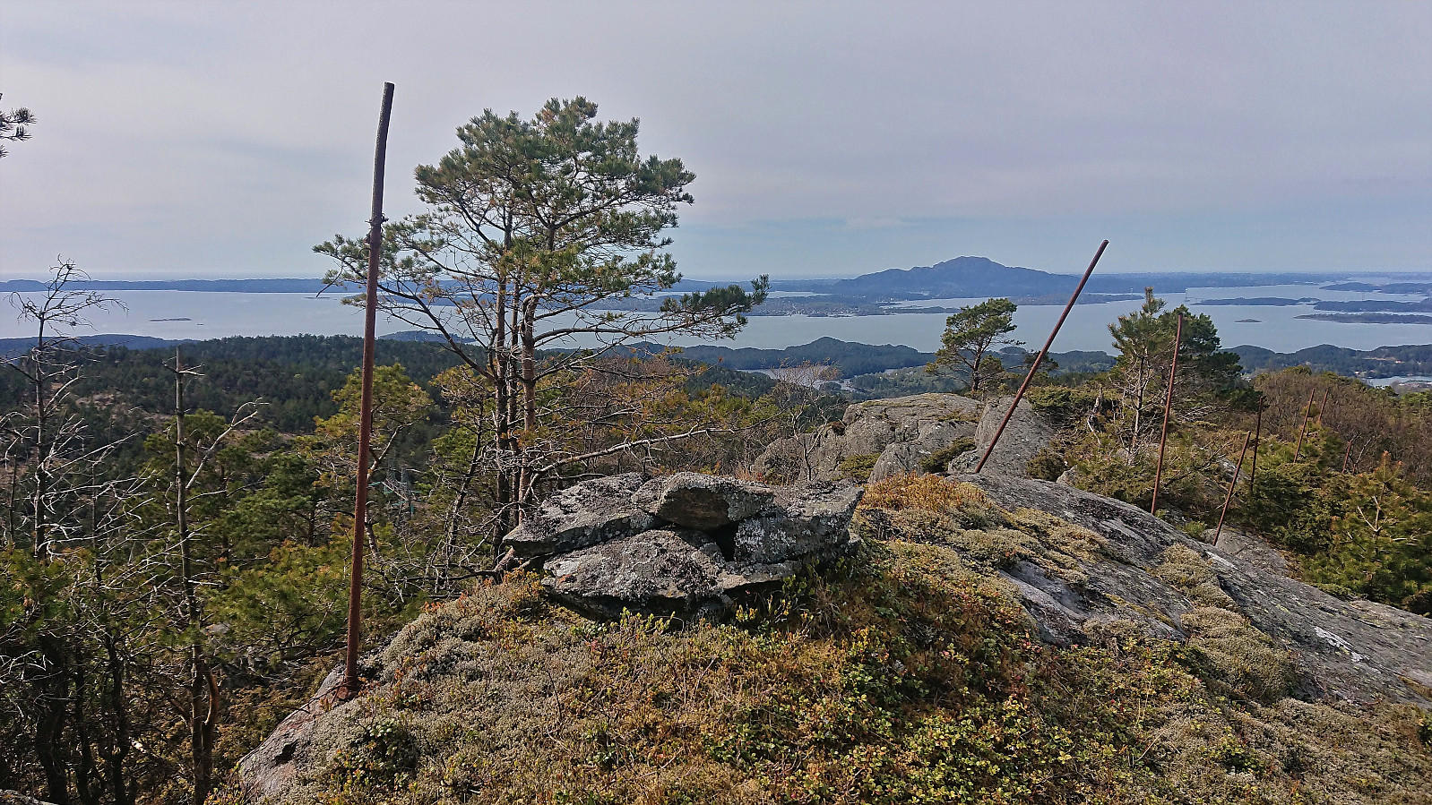
The ascent to Steinsfjell was slightly trickier than expected given the terrain consisting of many small hills and even a couple of steep areas that had to sidestepped. But in the end, I finally reached the summit and could enjoy the great views. However, I immediately got worried that I was not in fact at the highest point, as the ridge just west of me, i.e. Steinsfjellnipen, looked very similar if not higher. In order to not return home and learn that I had visited the wrong summit, I made the short detour just to be on the safe side. (Later inspections of the map, show that Steinsfjell is indeed higher, but the difference seems to be less than one meter.)
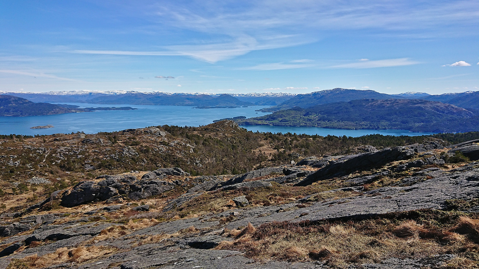
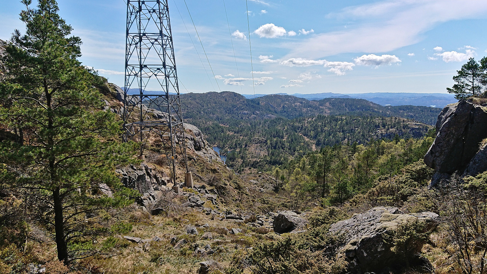
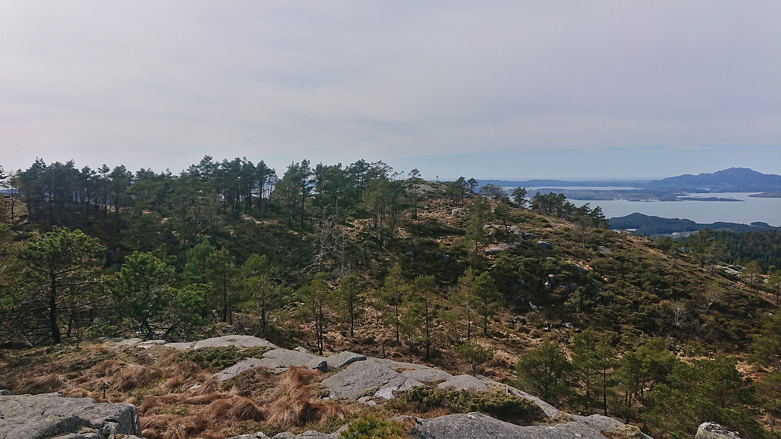
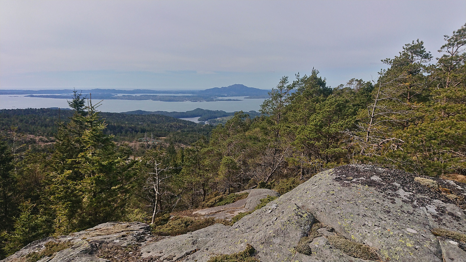
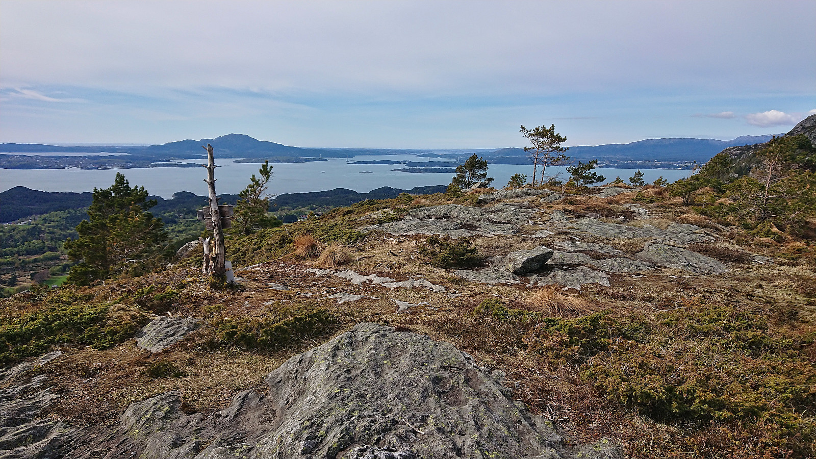
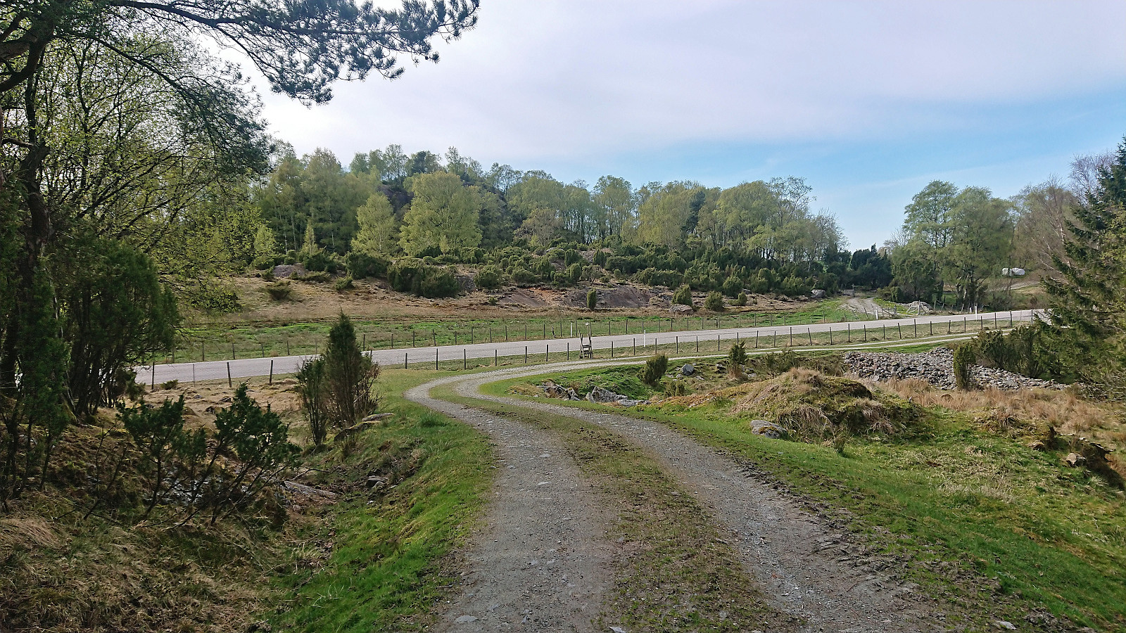
To avoid any more surprises with the terrain, I followed more or less the same route back to Vassdaltjørna and there connected with the trail indicated on the map east of Målefjell. When I reached the trailhead for Målefjell, the trail even turned into a tractor road. I still had plenty of time before the bus back at Ulveråker, and decided to pay Målefjell a visit as well. Turned out to be yet another minor peak with excellent views. Well worth the extra vertical meters. After returning to the tractor road, I followed it down to the paved road, which I then followed back to the bus stop at the main road, where the bus picked me up about 15 minutes later.
In summary, while large parts of this hike can be highly recommended (Valesåta, Trollevassnibba and Målefjell, and the trails related to these), a visit to Steinsfjell is clearly more of an acquired taste. And while most of this hike followed trails indicated on the map, the quality of these varied greatly and should be factored in if planning a similar hike.
| Starttidspunkt | 01.05.2022 11:57 (UTC+01:00 ST) |
| Sluttidspunkt | 01.05.2022 17:14 (UTC+01:00 ST) |
| Totaltid | 5t 17min |
| Bevegelsestid | 4t 32min |
| Pausetid | 0t 45min |
| Snittfart totalt | 3,0km/t |
| Snittfart bevegelsestid | 3,5km/t |
| Distanse | 15,9km |
| Høydemeter | 832m |


Kommentarer