
Hovdaberget, Hatlesteinen and Geitaknottane (12.03.2022)

Geschrieben von hbar (Harald Barsnes)

| Startpunkt | Gjermundshamn (2m) |
|---|---|
| Endpunkt | Grønevika (33m) |
| Tourcharakter | Bergtour |
| Tourlänge | 5h 43min |
| Entfernung | 17,3km |
| Höhenmeter | 846m |
| GPS |
|
| Besteigungen | Geitaknottane (318m) | 12.03.2022 |
|---|---|---|
| Hatlesteinen (322m) | 12.03.2022 | |
| Hjortlandshovda (318m) | 12.03.2022 | |
| Besuche anderer PBE | Hovdaberget (276m) | 12.03.2022 |
| Svartavatnet, Grønevik (224m) | 12.03.2022 |
Hovdaberget, Hatlesteinen and Geitaknottane

I started by taking the bus to Gjermundshamn where I ended up taking the bus one stop too far, but thankfully managed to get off before the bus drove onto the ferry. After returning to the crossroads a couple hundred meters to the southwest, I walked along the road to Ølve until reaching the marked trailhead for Blånuten. No sidewalks, but very limited traffic.
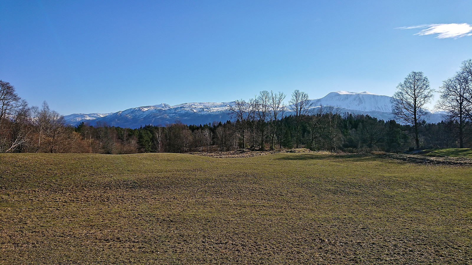
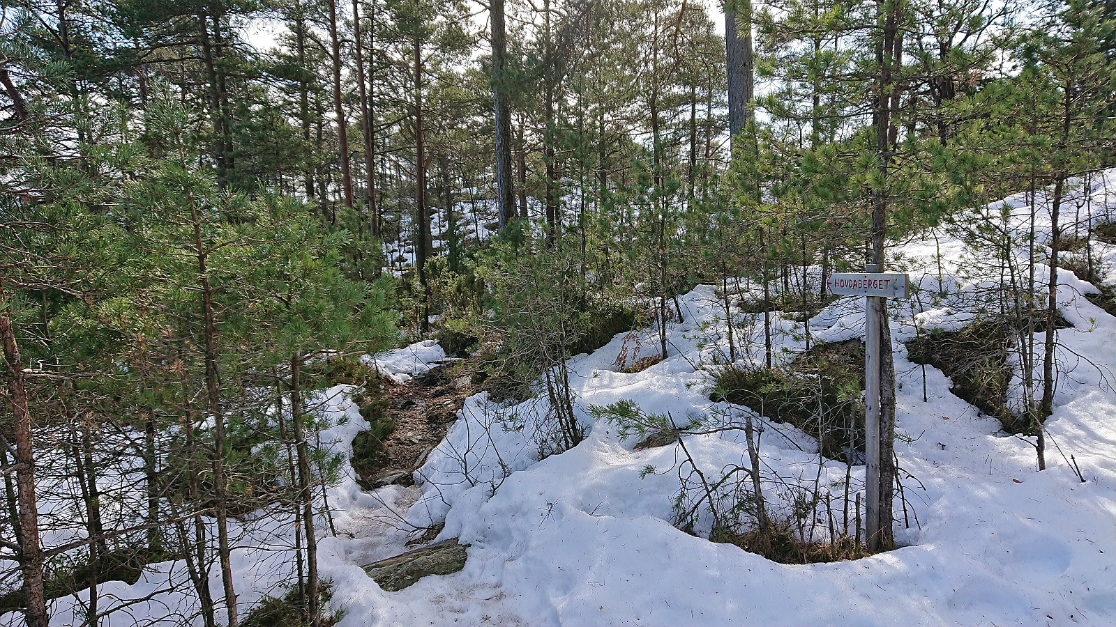
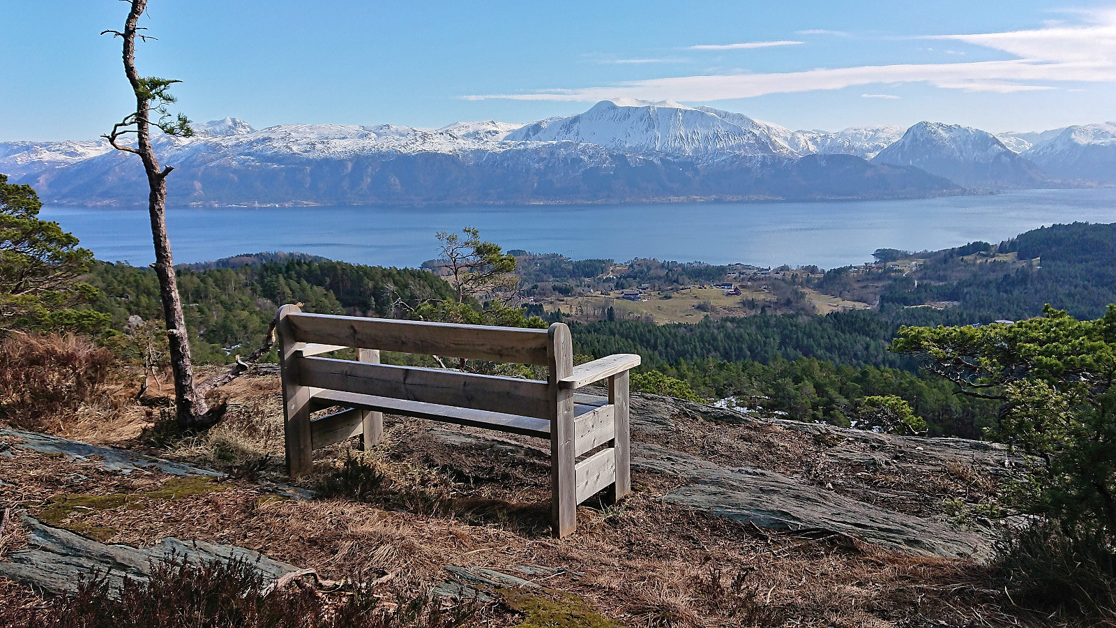
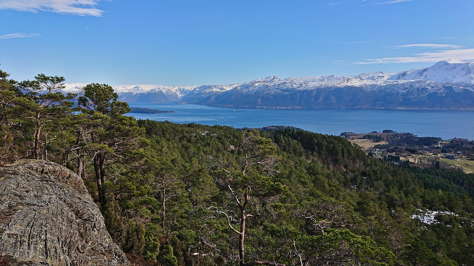
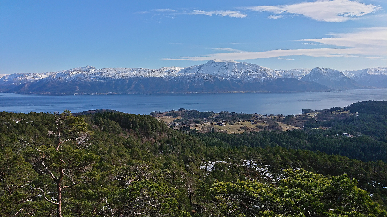
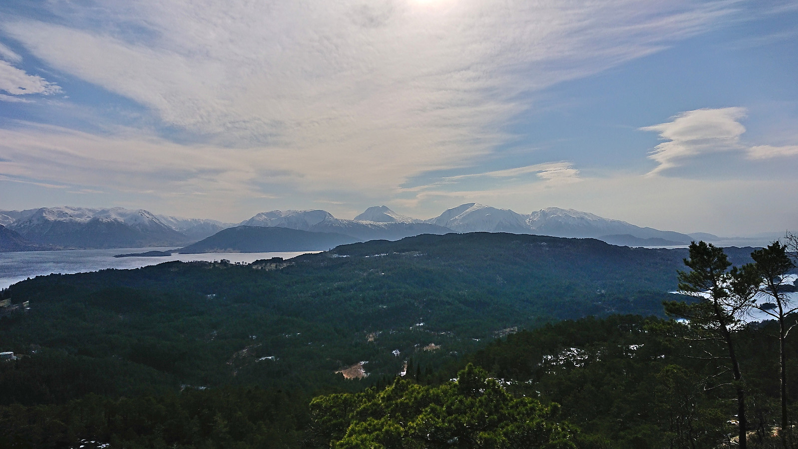
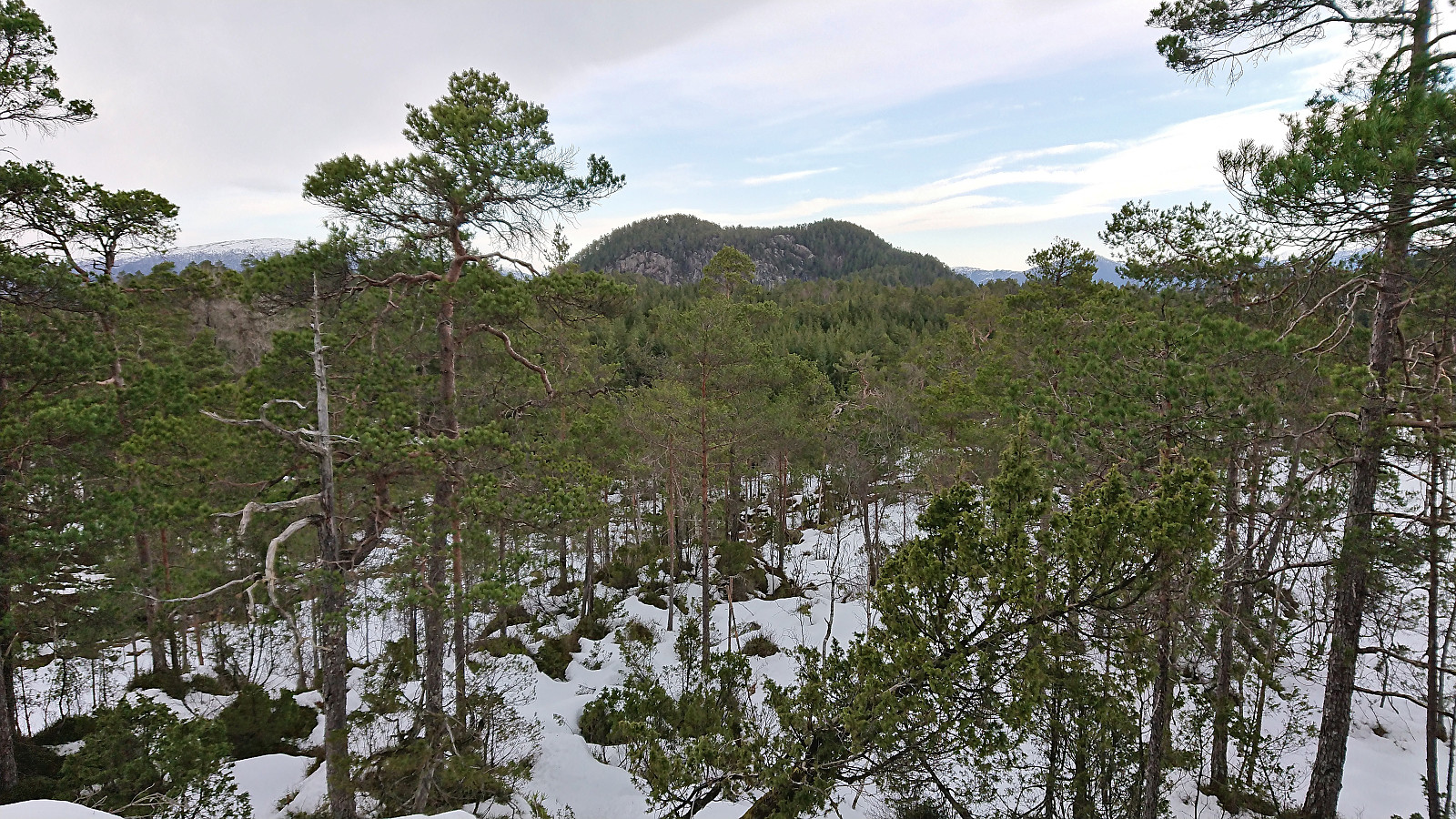
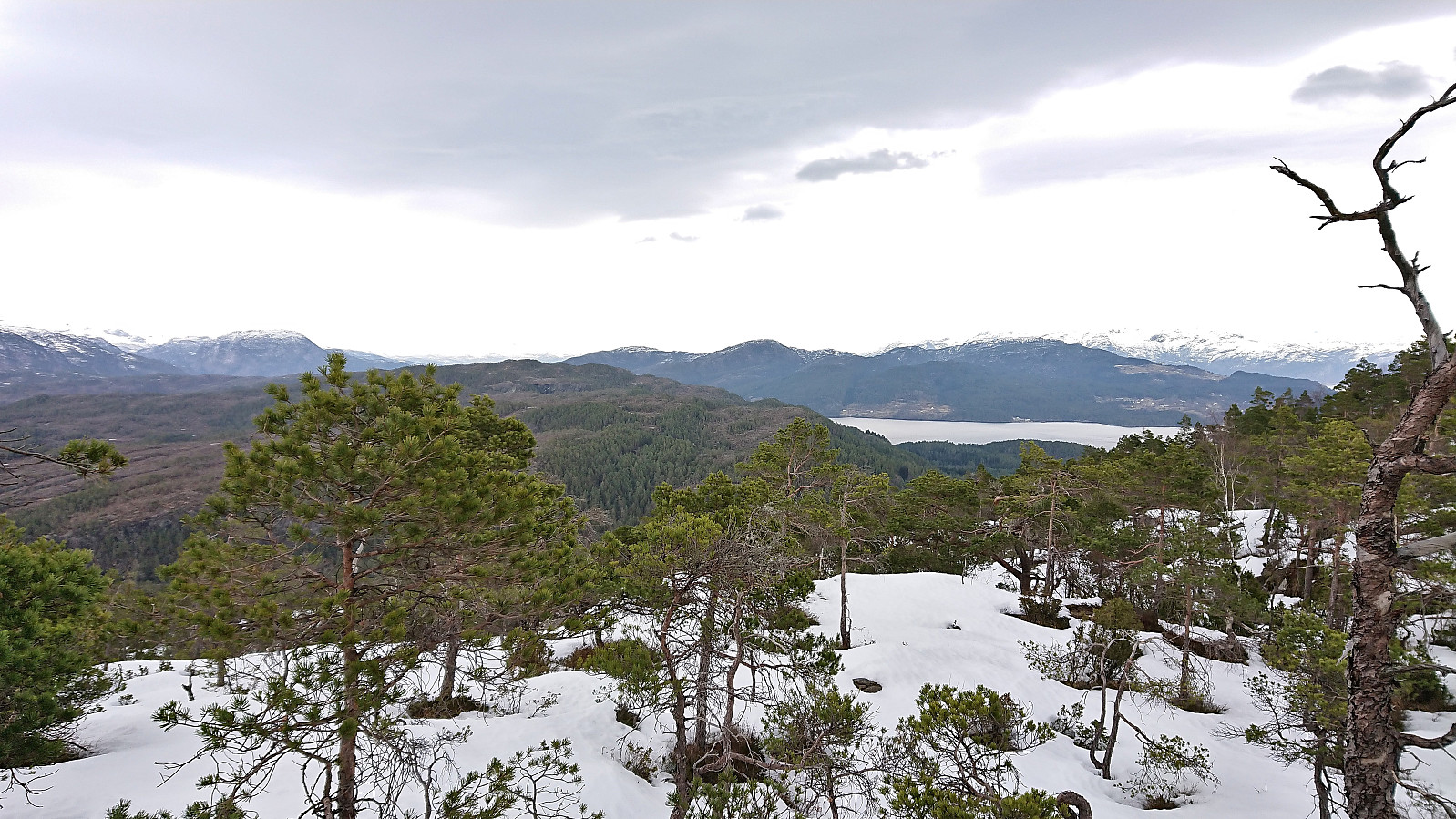
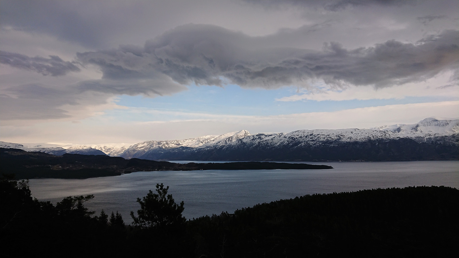
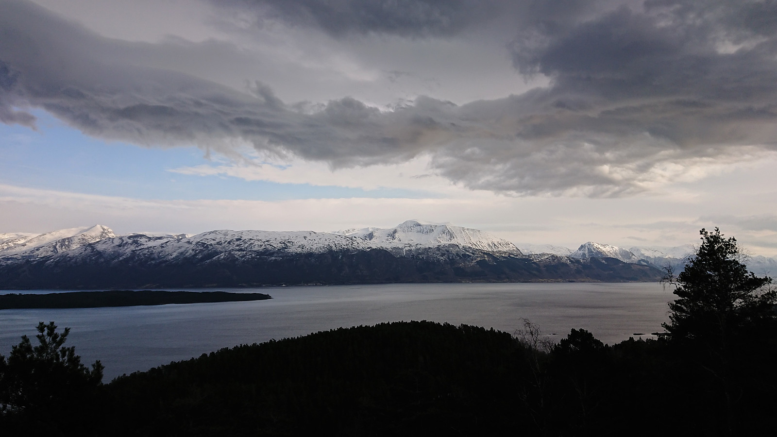
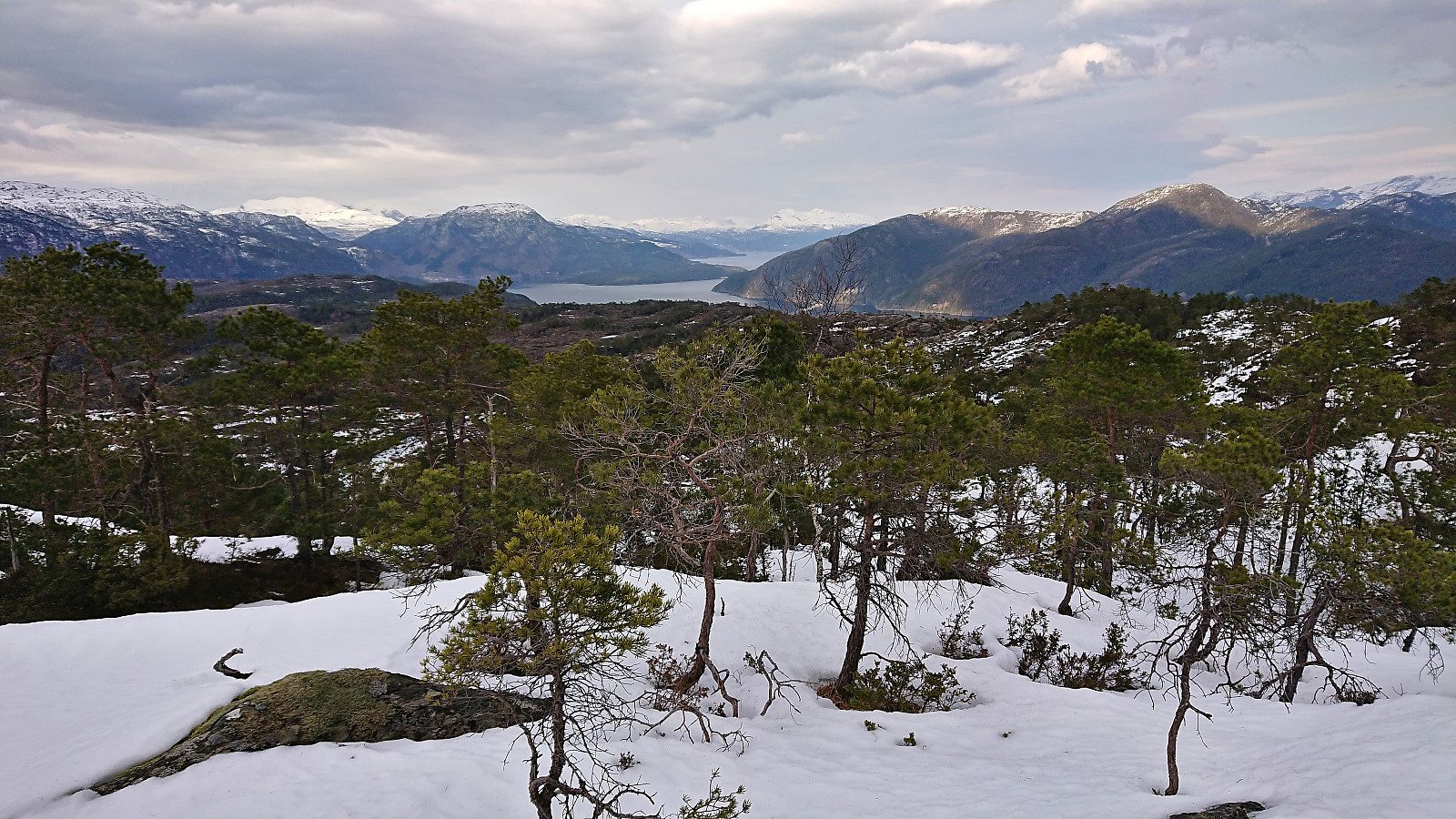
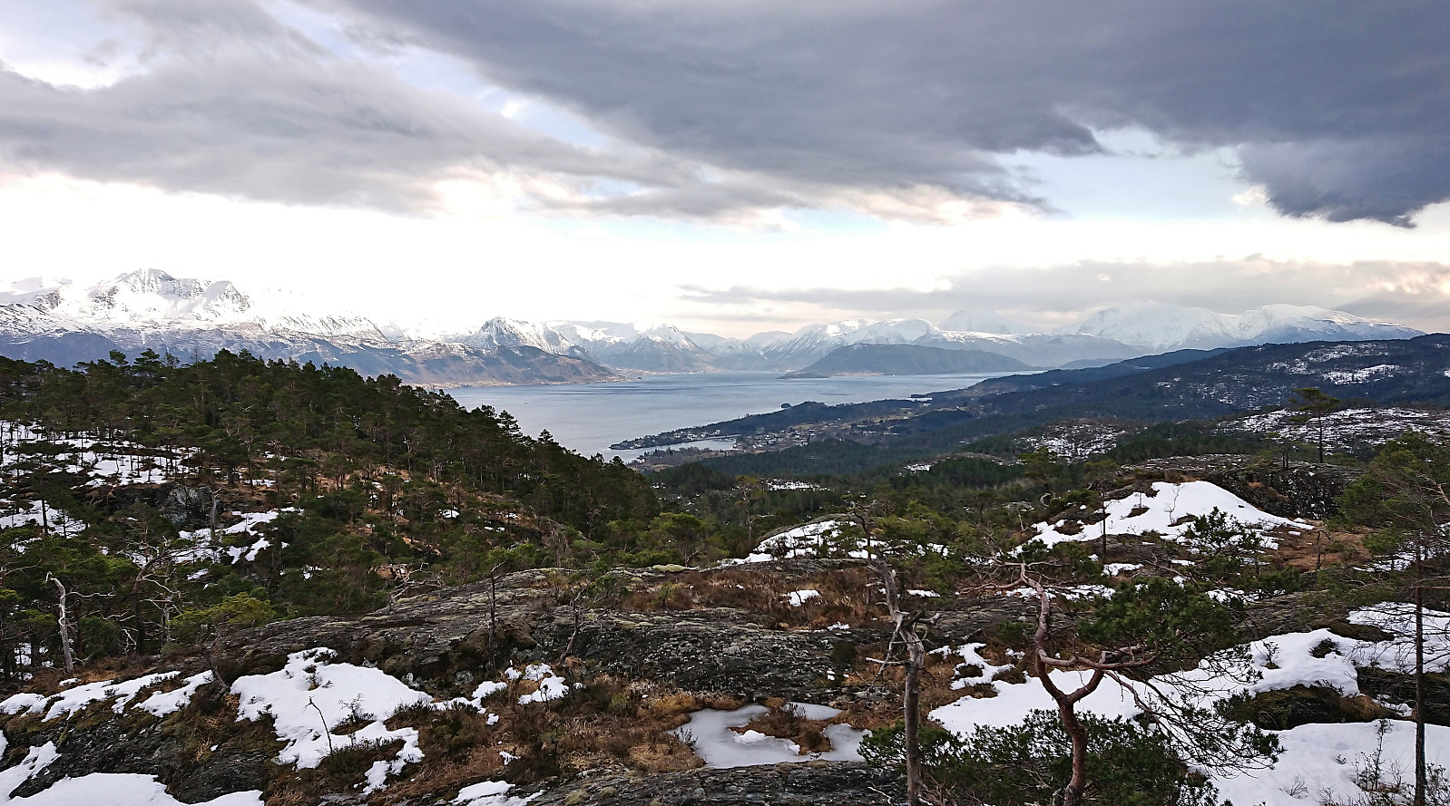
I left the road/trail heading for Blånuten at the first crossroads and instead followed a tractor road taking me all the way to Hovdaberget and its spectacular views. Very easy to get to and highly recommended for its excellent views towards the many mountains across the fjord. Especially beautiful at this time of the year due to the snow-capped peaks.
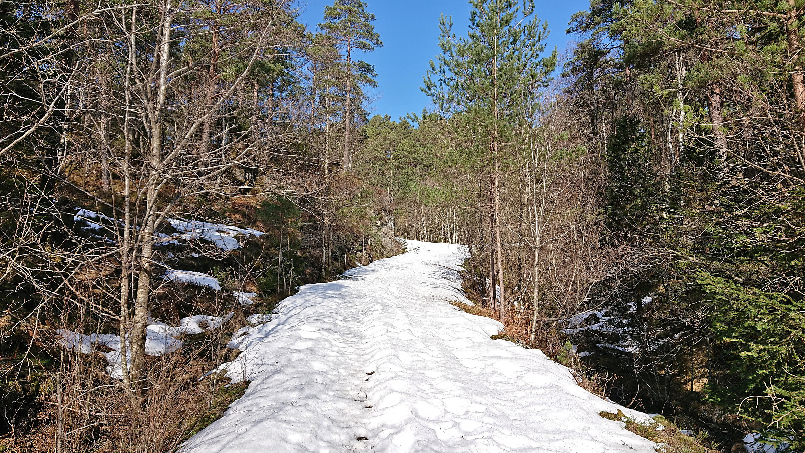
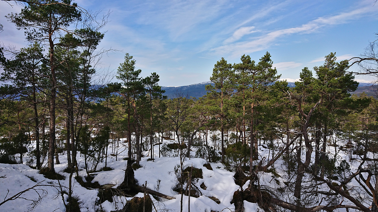
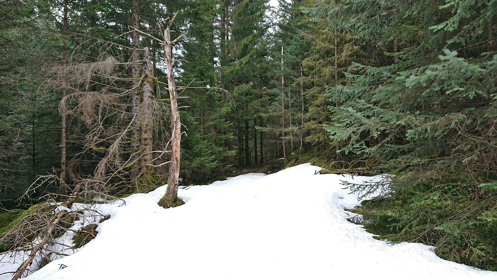
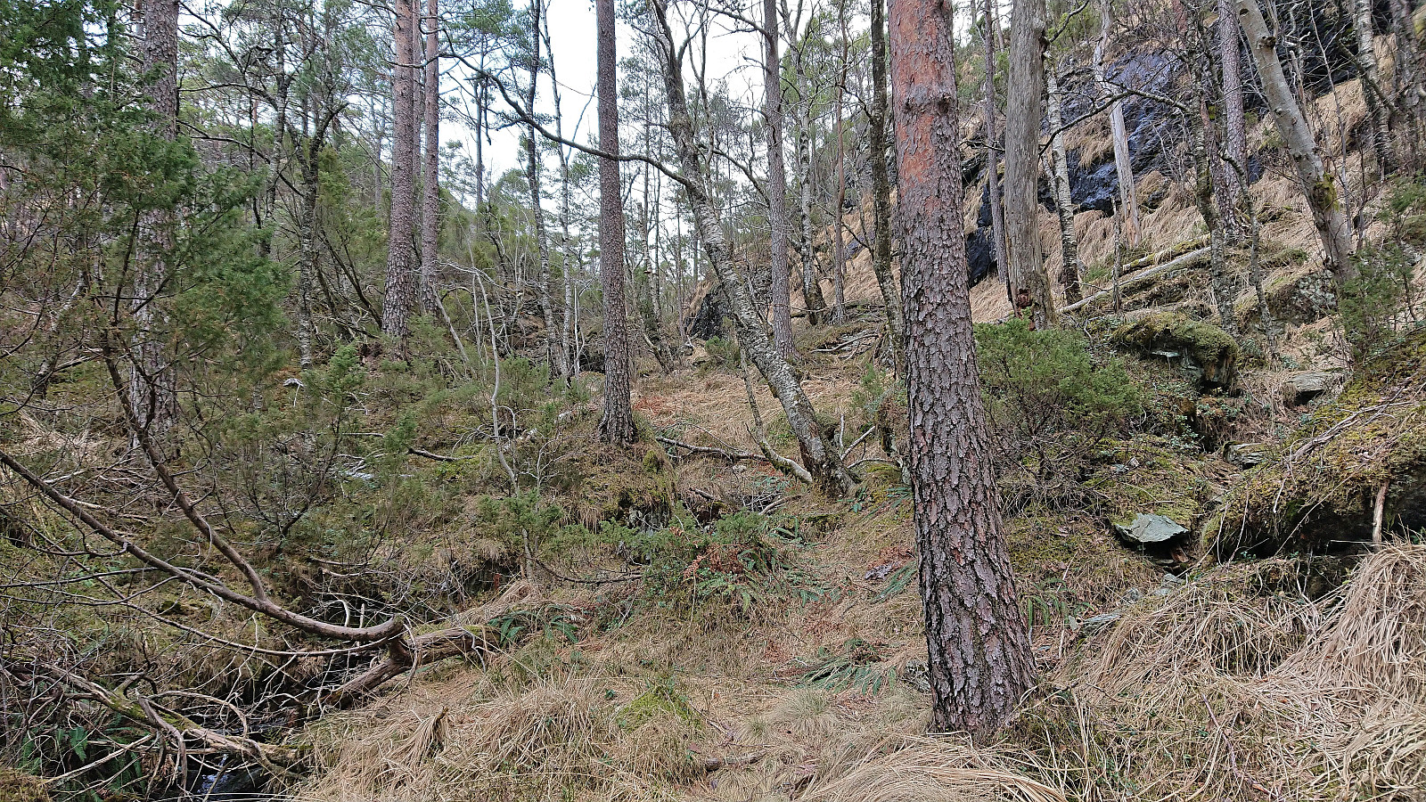
After a quick off-trail visit of the summit of Hjortlandshovda, a major let down after the views at Hovdaberget and a summit that most hikers can simply ignore, I returned to the snow-covered tractor road and followed it southwest. My plan had been to briefly reconnect with the trail to Blånuten and then turn northeast along the tractor road towards Hatlesteinen. However, with there being significantly more snow than I had hoped for, at this point up to and above the top of my boots, I decided that it would be just as fast or maybe even faster to simply head off-trail and more directly north in the direction of Hatlesteinen.
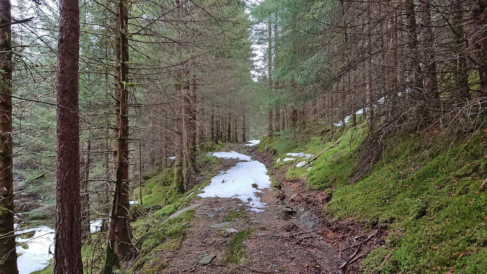
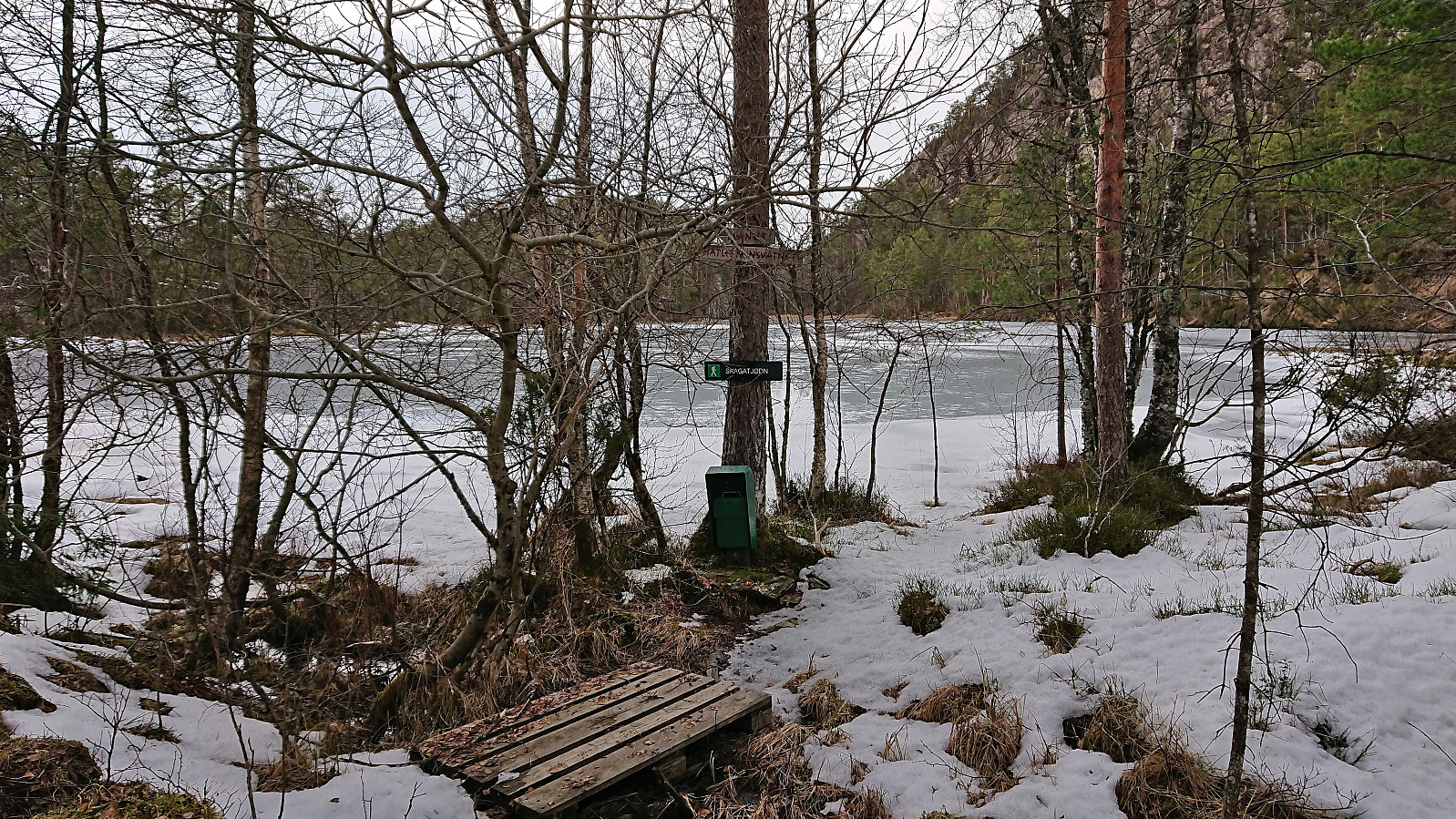
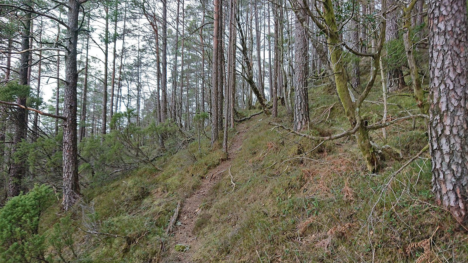
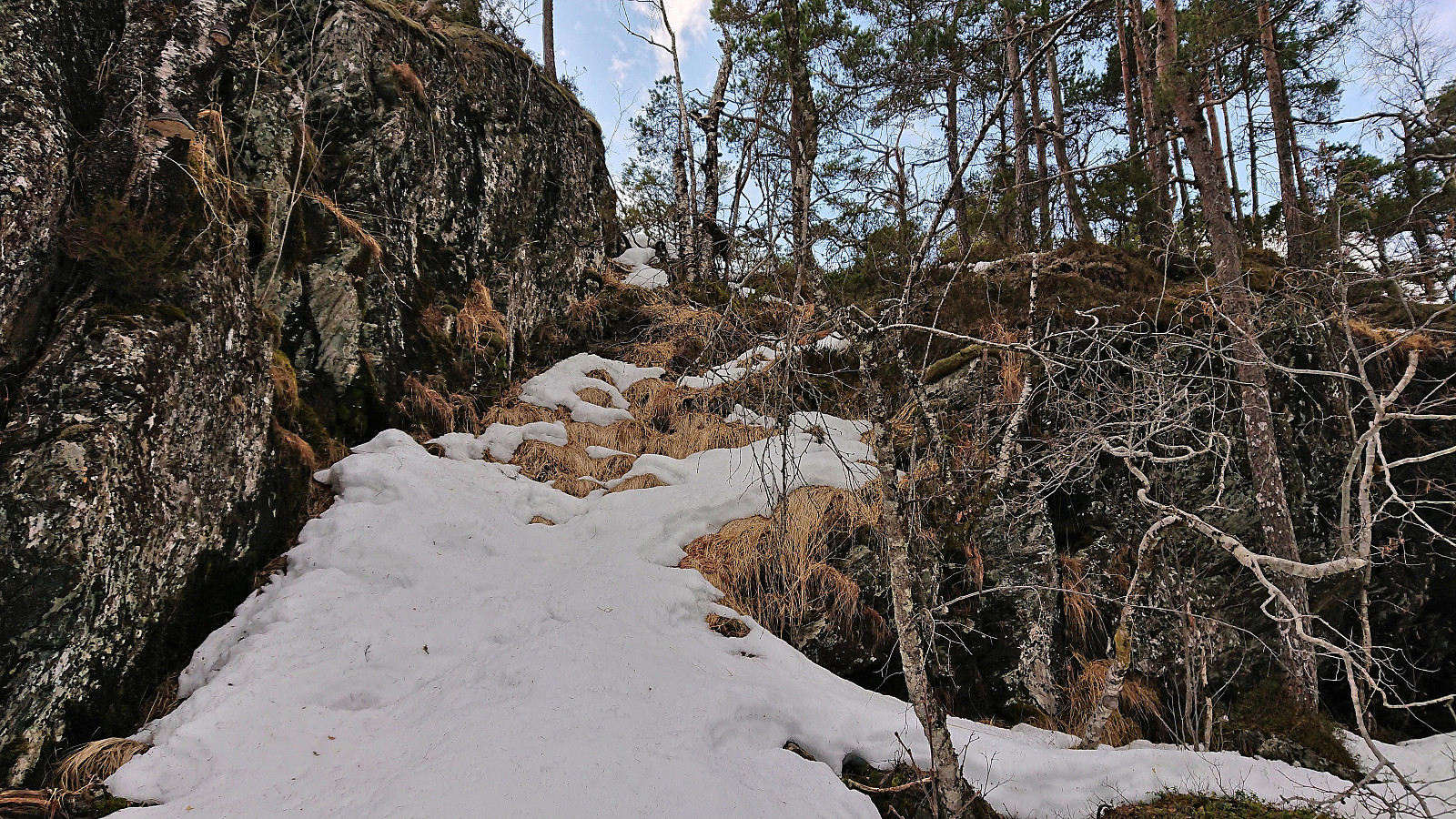
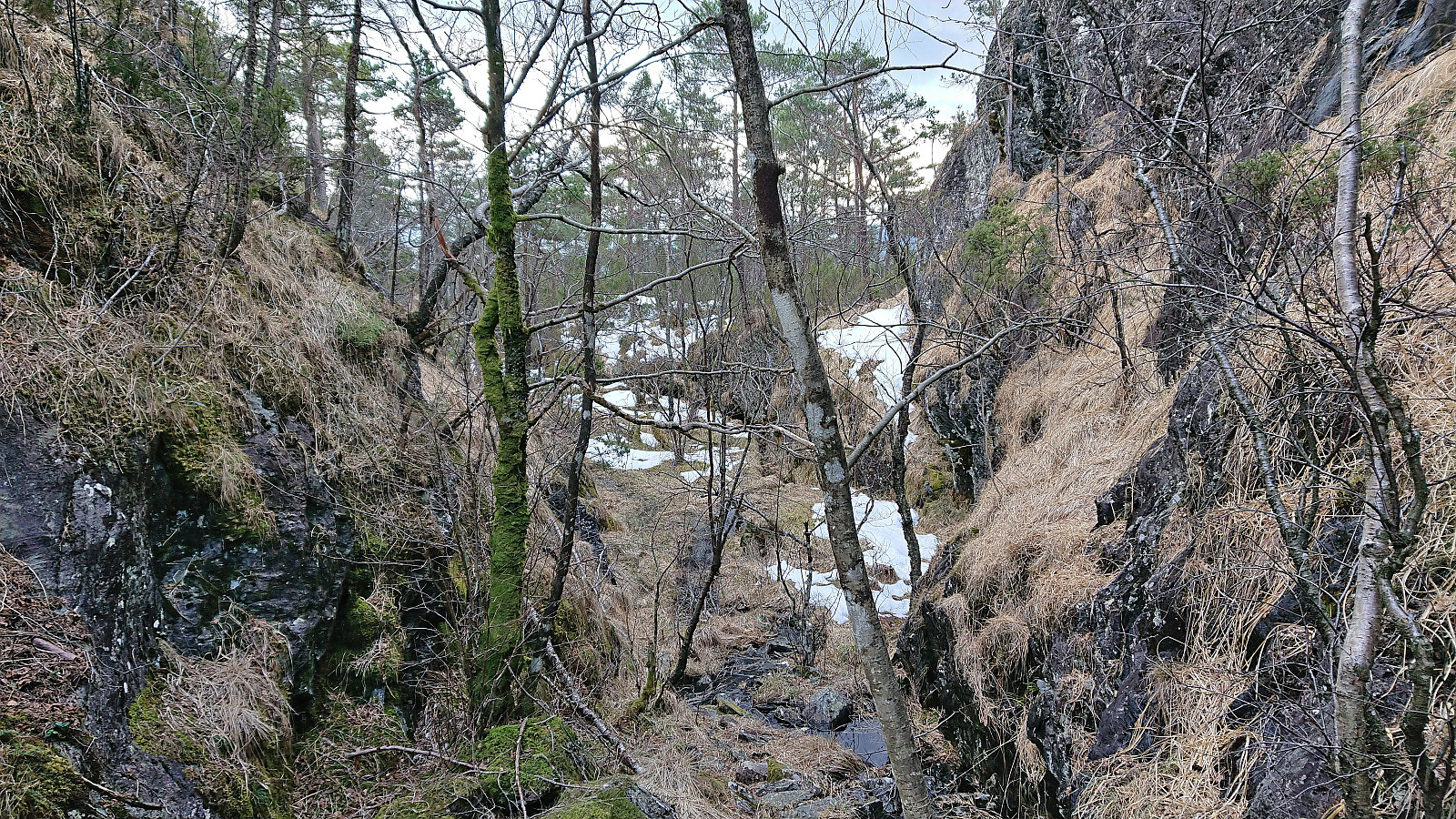
My shortcut turned out to be the right choice, as when I reached the tractor road taking me to Skagatjørna, it was covered by just as much if not more snow than what I had experienced on my off-trail route. Thankfully, as I reached the road heading north along Skagatjørna I could step in other people’s footprints and thus avoid sinking as deeply into the snow. Just before the road came to an end just north of the lake, I left the road and followed an unmarked trail taking me steeply up to the summit of Hatlesteinen.
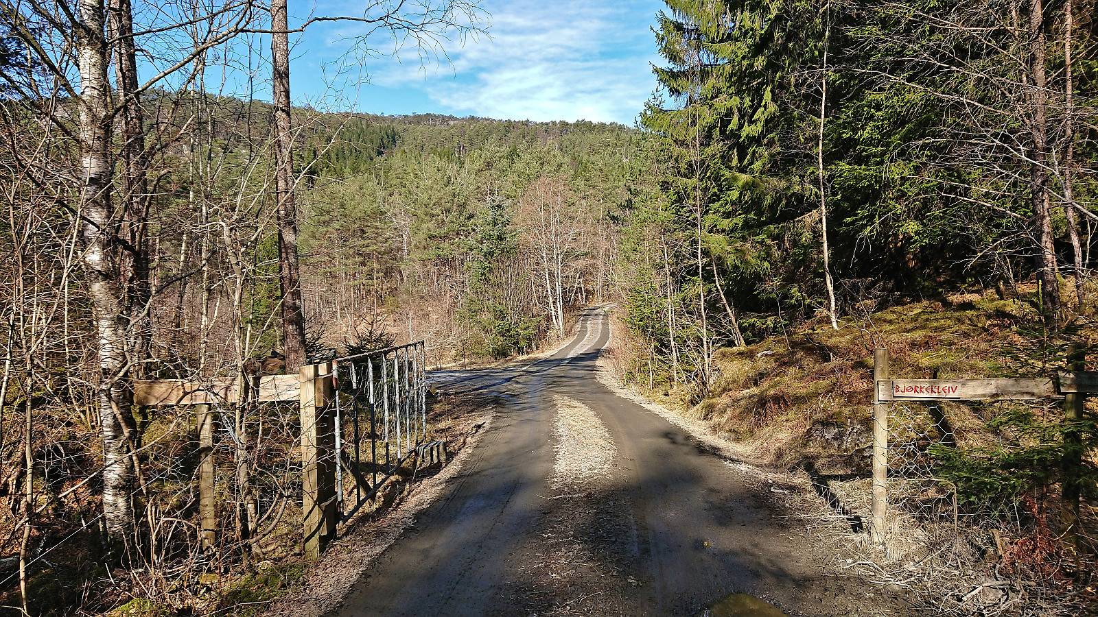
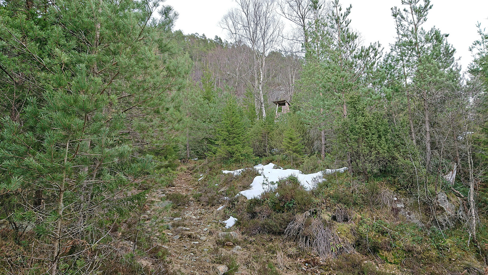
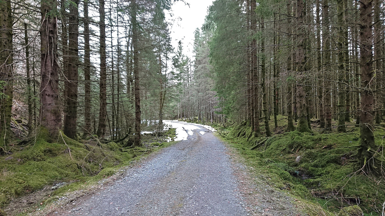
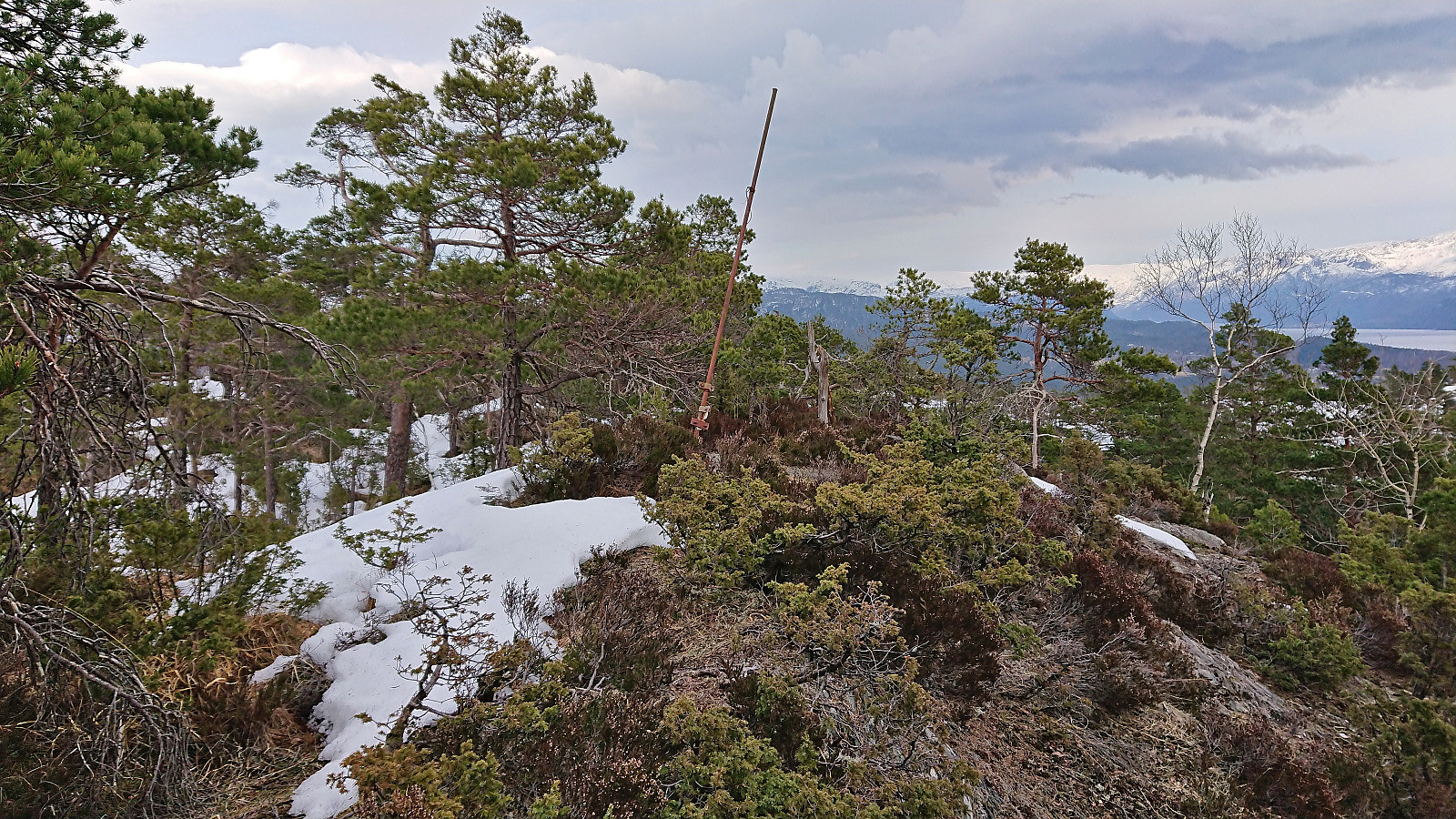
The summit of Hatlesteinen provided limited views and I did not stay long before continuing east along the trail across the summit, finally ending up at Gjelet where the trail connected with a gravel road. Here there was even a sign indicating the start of the trail to Hatlesteinen. This trail, i.e., the one I had just followed, was however of varying quality and not always the easiest to spot, especially towards the bottom.
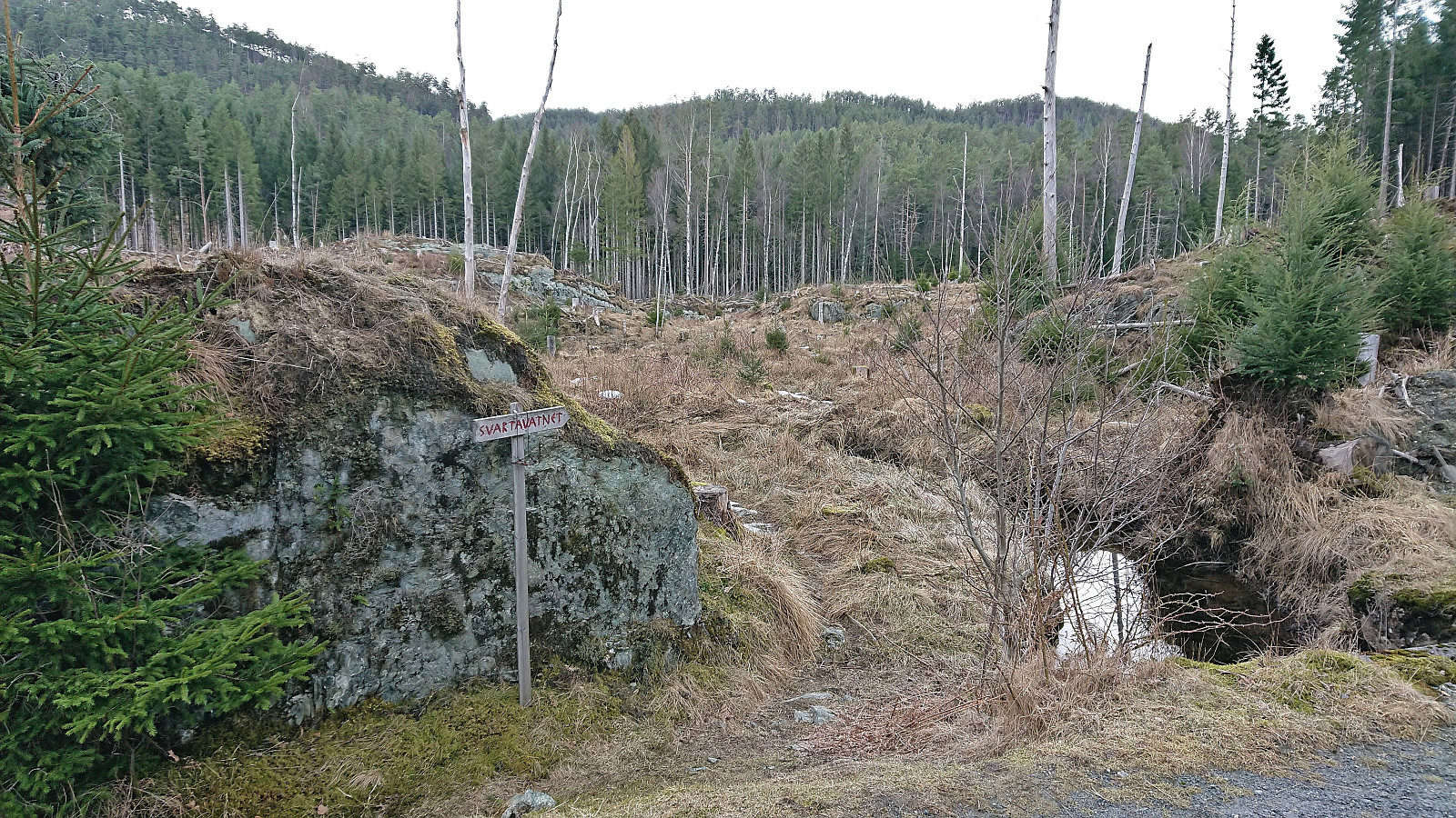
I followed the gravel road northeast until getting to a crossroads at Erikstølen. Here I wanted to find a way of connecting with the separate gravel road towards Svartavatnet, but was unsure what would the best route as the map did not indicate any trails. However, just as I was standing around considering the different options, the first other hiker had had seen for my whole hike happened to turn up. He could inform me that there actually was a trail and that its marked trailhead was less than 100 meters from where I was standing!
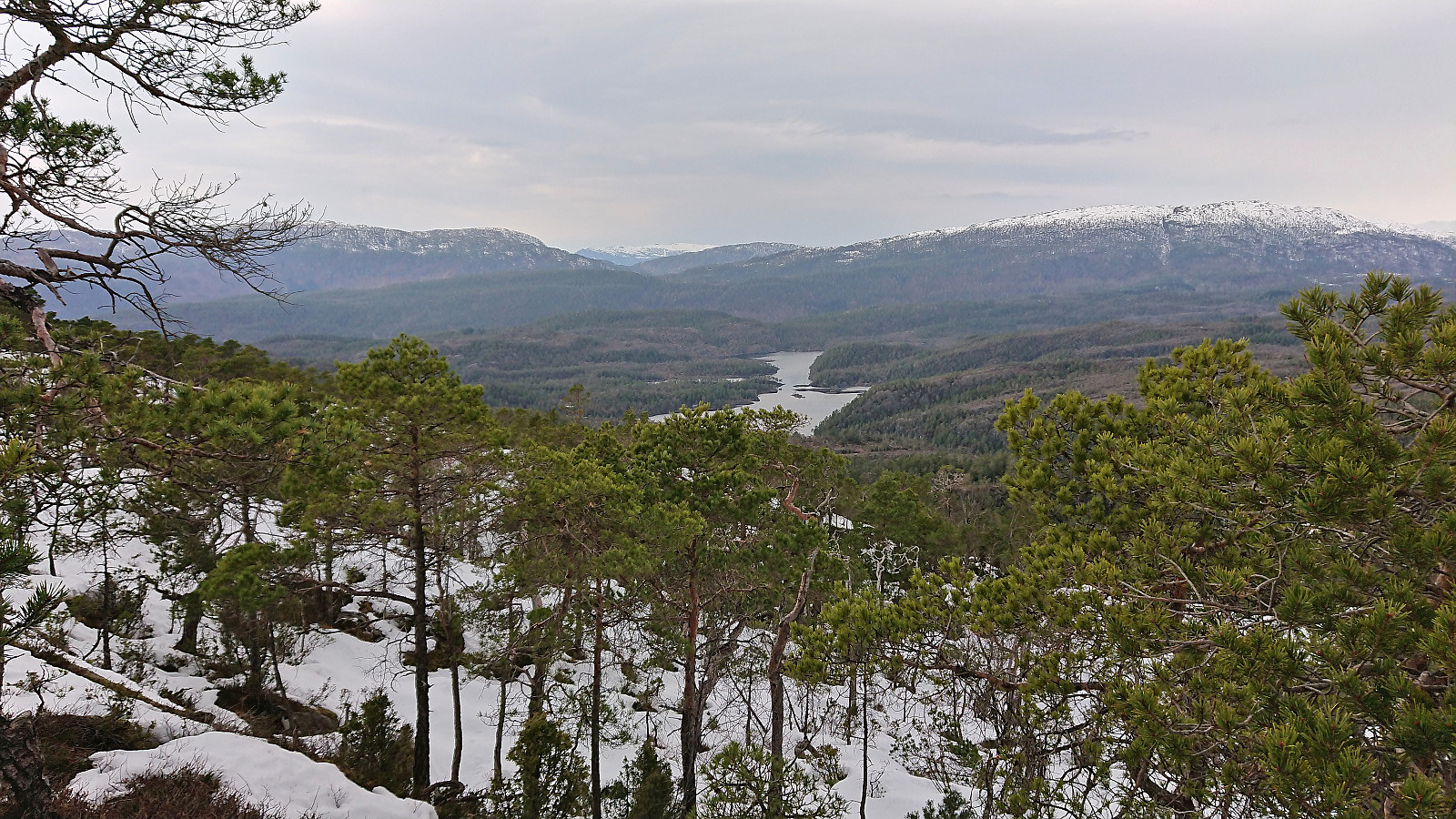
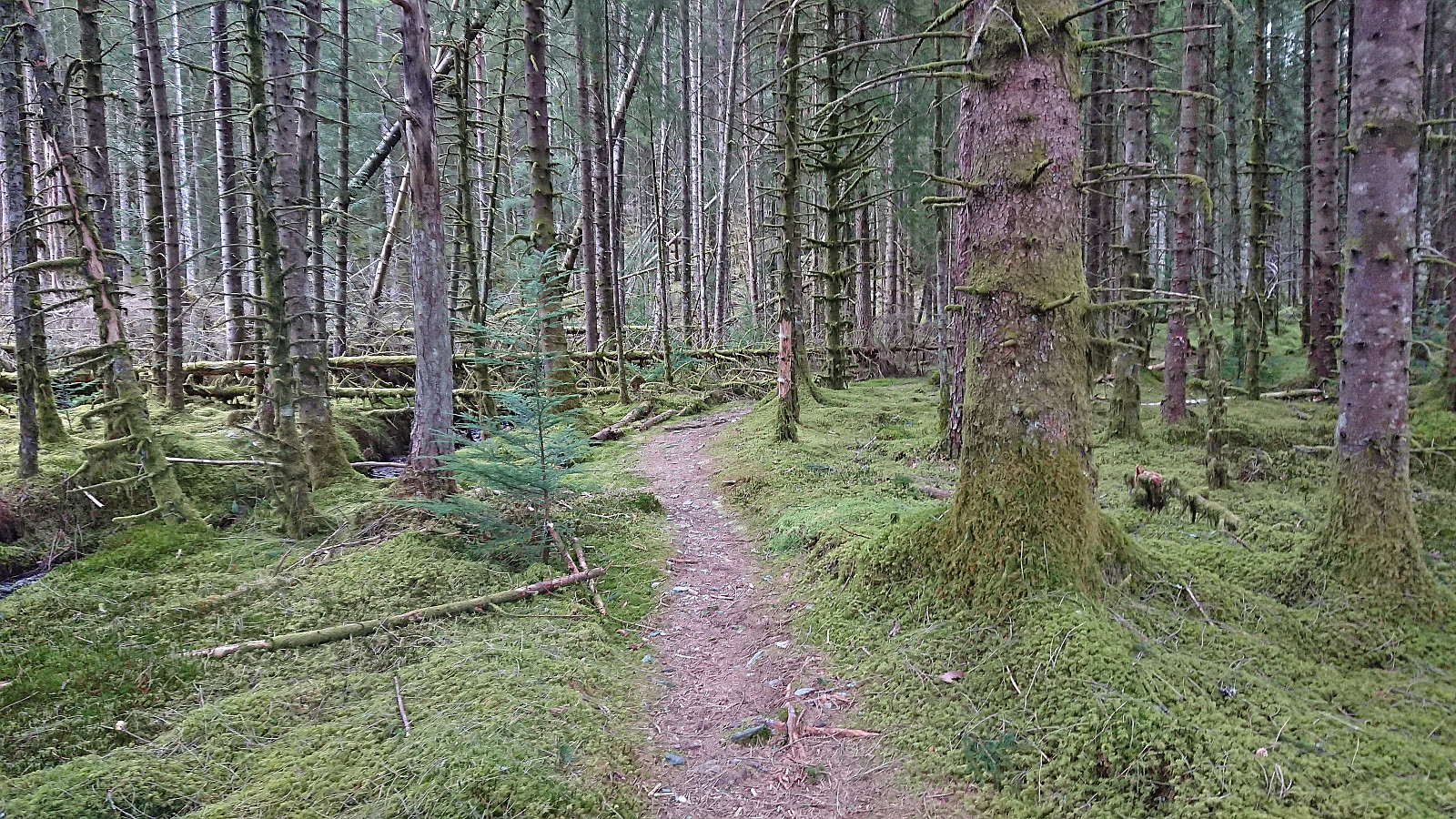
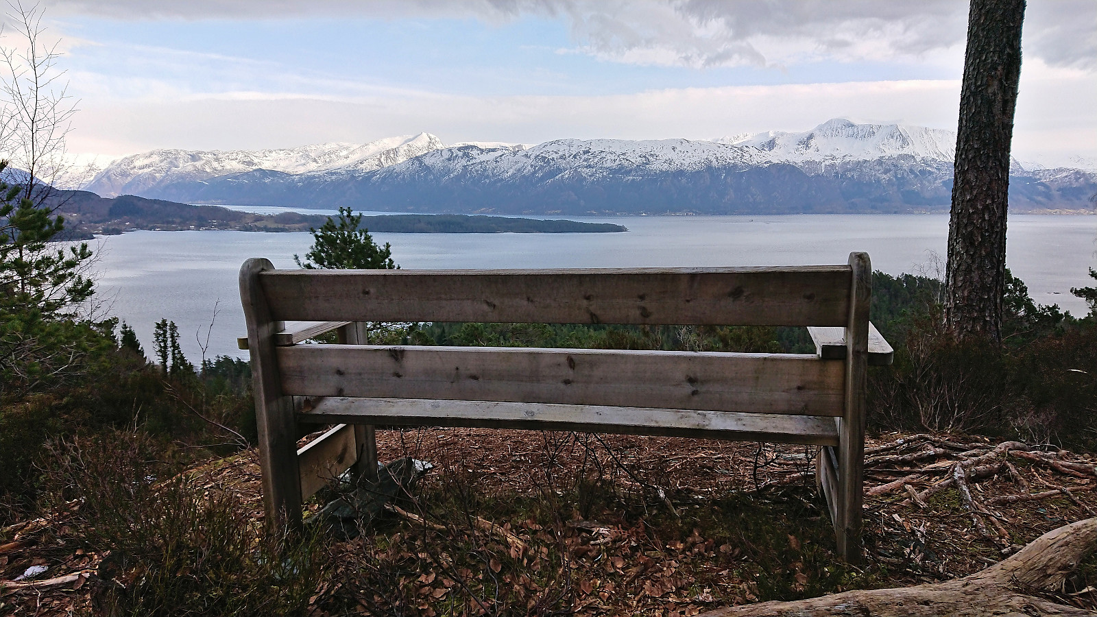
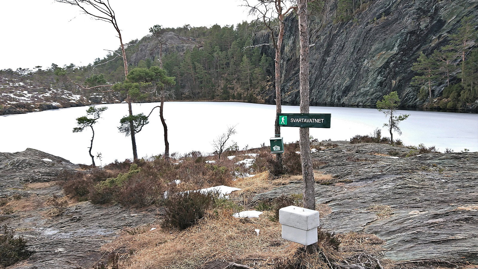
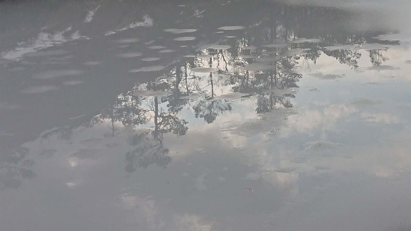
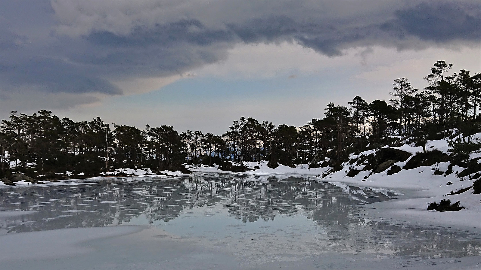
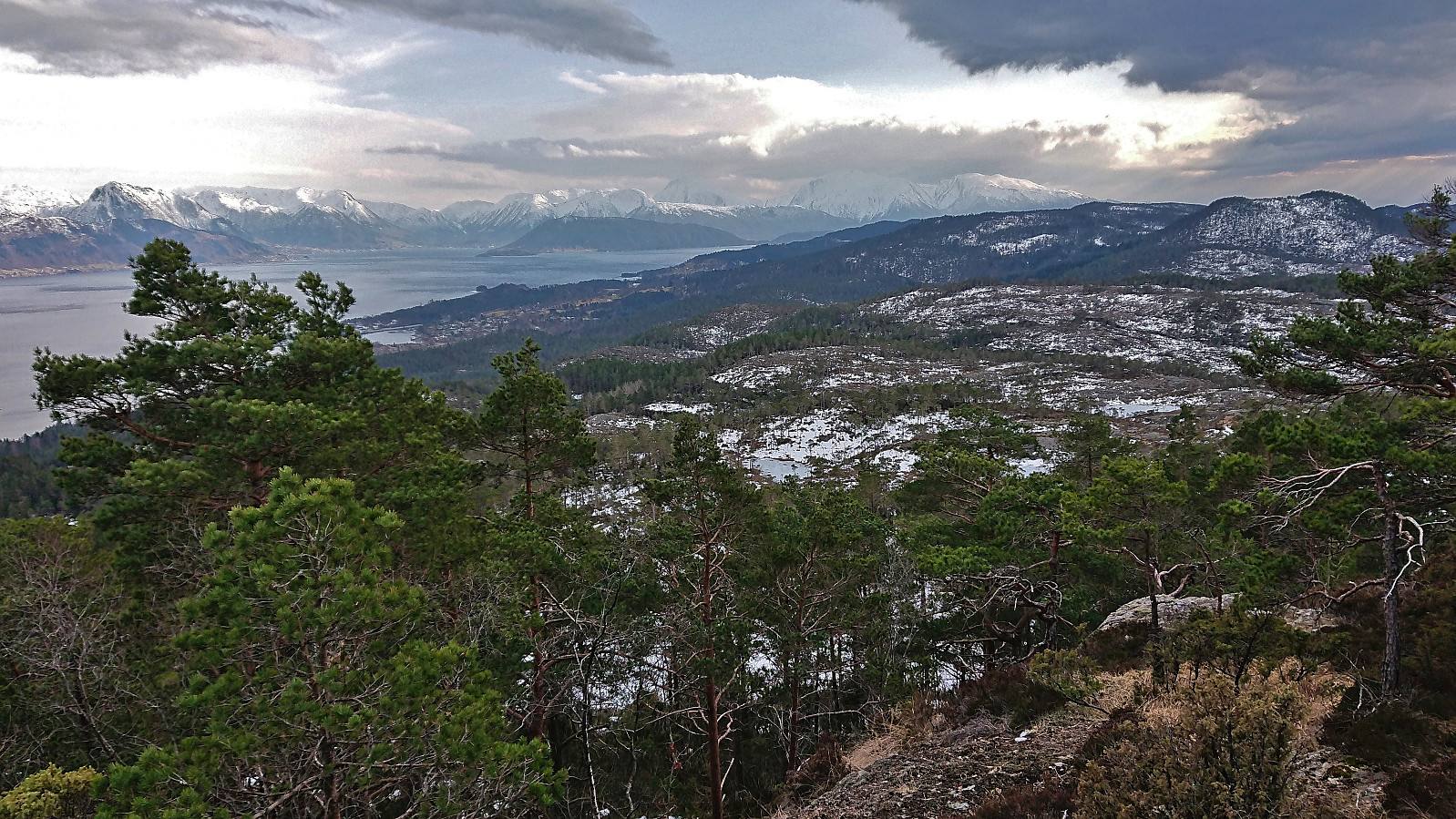
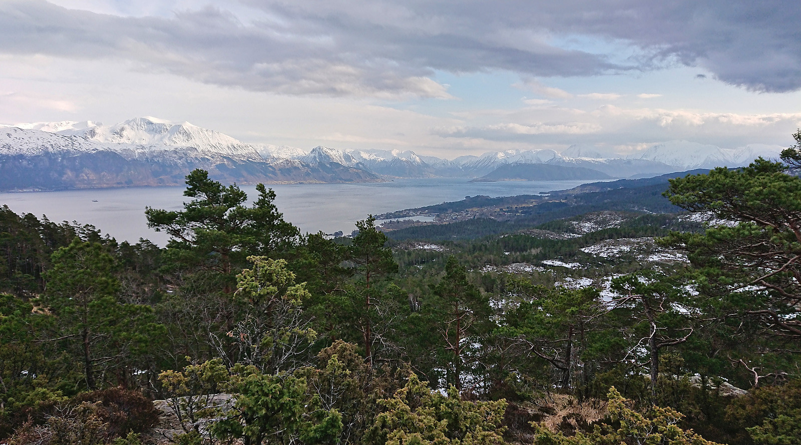
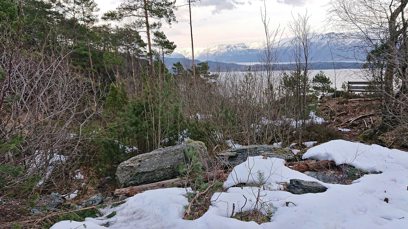
As it turned out, this unmarked trail was easy to follow and quickly took me up to the other gravel road towards Svartavatnet and I was now on my way to the final goal of the day: Geitaknottane. But first I made a quick stop at yet another excellent viewpoint at a bench located just before the road turned northwest to Svartavatnet. From there I continued along the road and later trail to Svartavatnet, which today clearly did not live up to its name and should rather have been renamed Kvitavatnet due to being covered by unusually white ice.
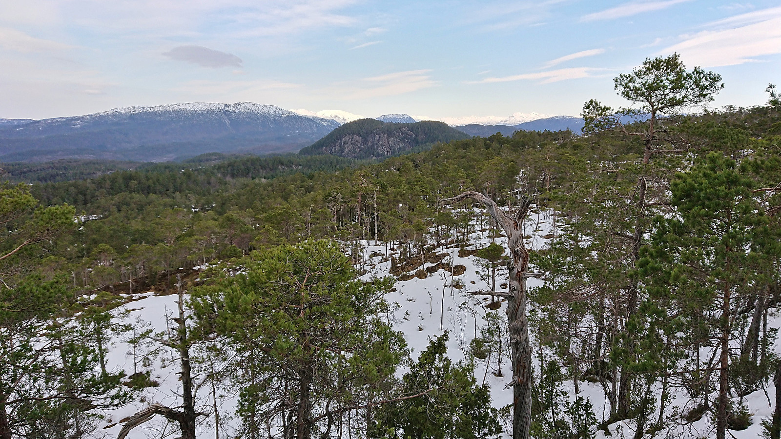
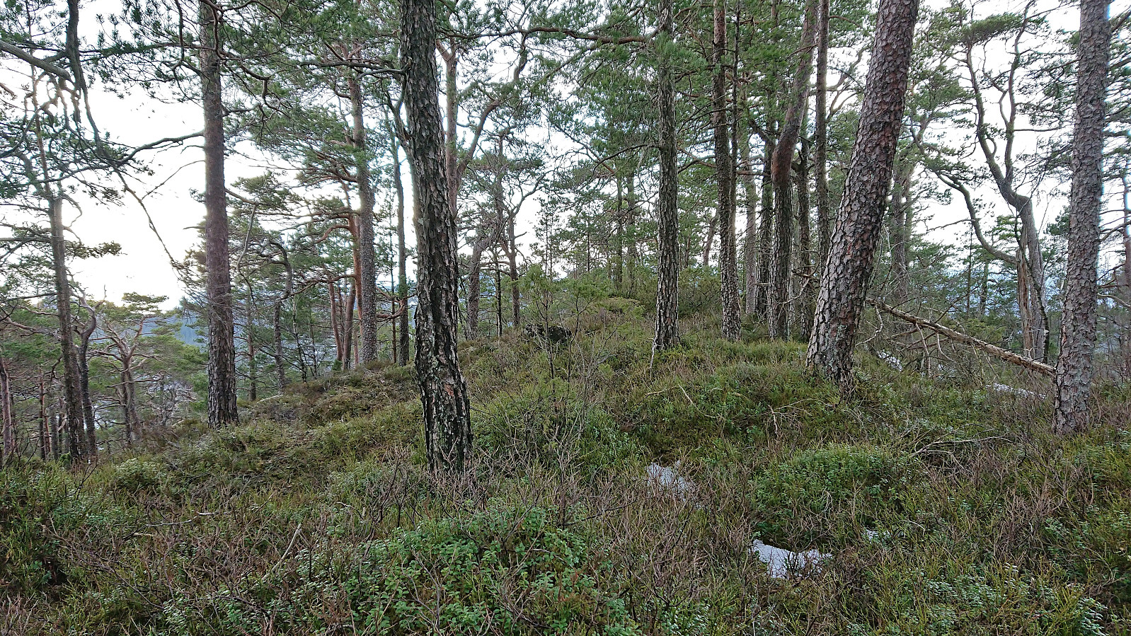
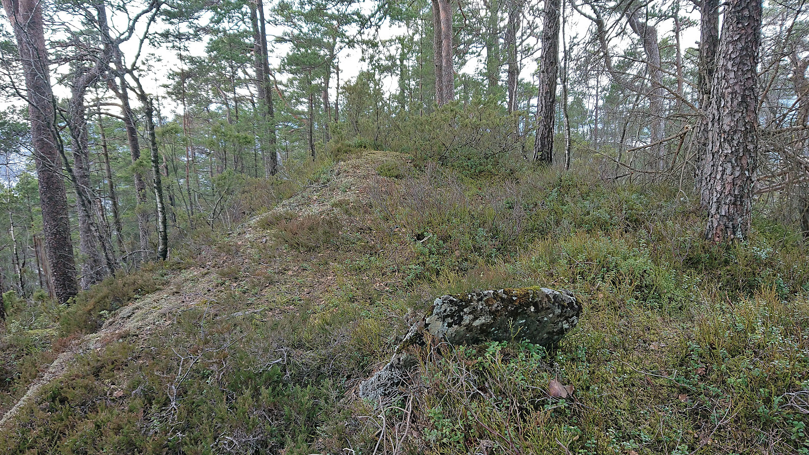
From Svartavatnet I followed a weak trail indicated in previous trip reports which I think more or less took me all the way to the summit of Geitaknottane. A bit hard to tell towards the end due to the snow, but by then the route was pretty obvious anyway. Excellent views from the summit. Especially across the fjord to the east but also to the west if heading slightly away from the summit. I would have liked to stay longer to enjoy the views, but I had a bus to catch at Grønvika and thus shortly started retracing my steps back down to Svartavatnet.
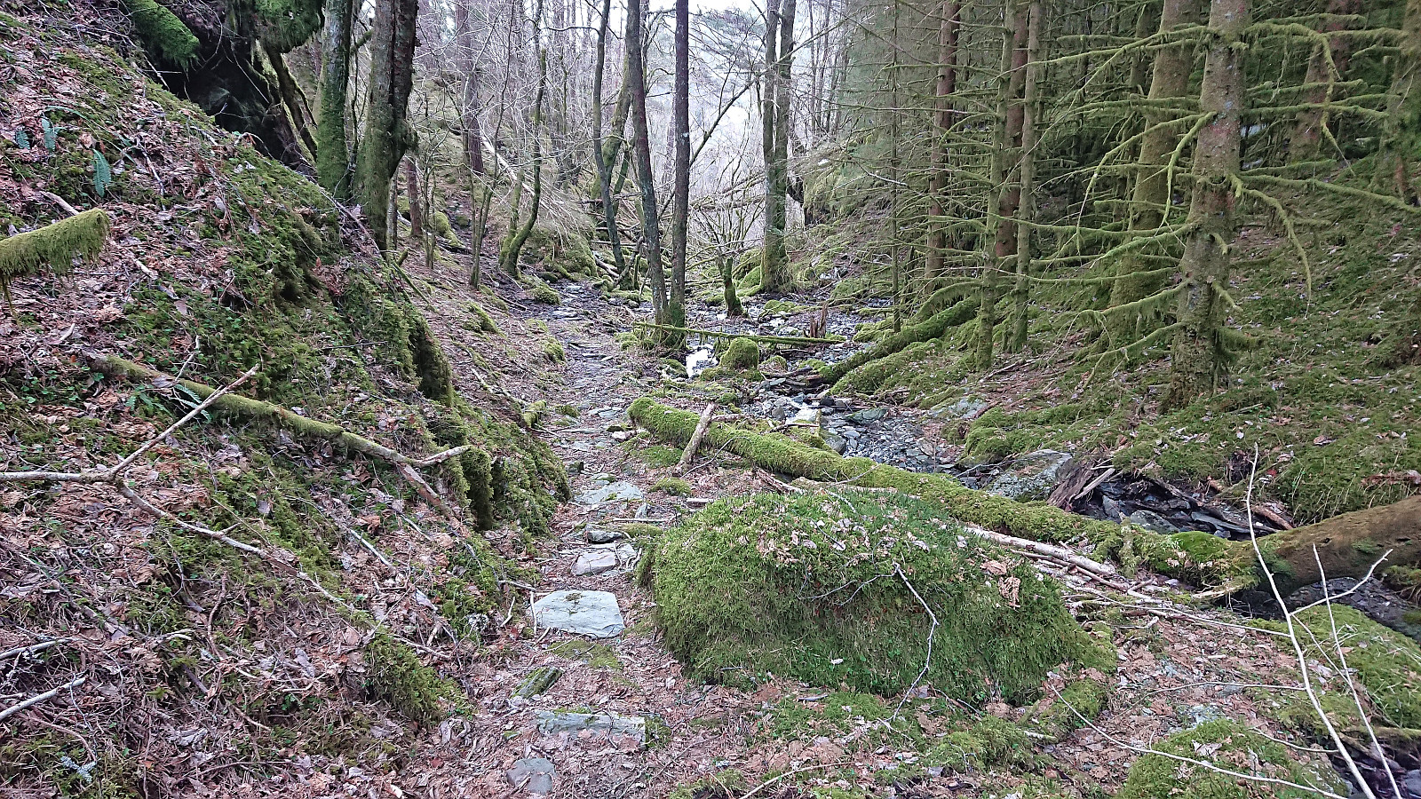
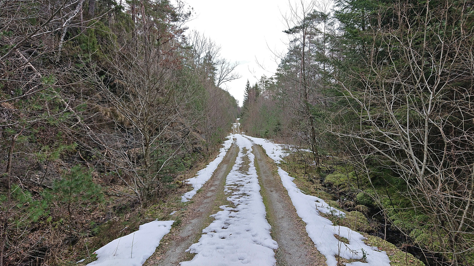
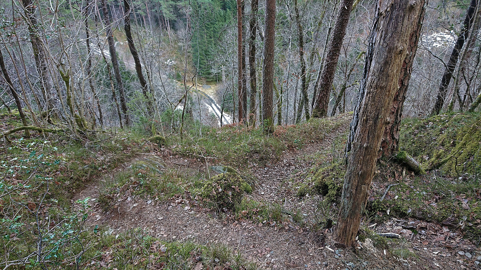
Upon reaching the bend in the road where it turns southwest, I started looking for the shortcut I knew that previous hikers had used. However, I first made the mistake of crossing the river and following a trail heading northeast, thinking I would be descending on the north side of the stream. But I quickly realized that this was incorrect and returned to the road where I managed to locate the start of the real shortcut just behind the previously mentioned bench. In my defense, the trailhead was completely unmarked and partially hidden. Although after finding it, it was straightforward to follow and saved me a lot of time compared to the much longer detour via the gravel road.
The hike was finally completed by heading to the bus stop by the main road, which I reached with about 15 minutes to spare. Just enough time to change before the bus arrived to take me back home to Bergen.
In summary, a very nice hike with excellent views along the way, especially from Hovdaberget and Geitaknottane! Note that this is most likely a much easier hike when there is no snow though, and if avoiding my off-trail shortcut from Hjortlandshovda, and the summit of Hjortlandshovda altogether, it should be possible to stay on trails/roads for the entire hike. And if you rather want a short and easy hike with excellent views, definitely consider a visit of Hovdaberget on its own!

| Startzeitpunkt | 12.03.2022 11:15 (UTC+01:00) |
| Endzeitpunkt | 12.03.2022 16:58 (UTC+01:00) |
| Gesamtzeit | 5h 43min |
| Zeit in Bewegung | 5h 10min |
| Pausenzeit | 0h 33min |
| Gesamtschnitt | 3,0km/h |
| Bewegungsschnitt | 3,3km/h |
| Entfernung | 17,3km |
| Höhenmeter | 845m |


Benutzerkommentare