
Bjorøyna: Nibben and Rundelen (03.03.2022)

Skrevet av hbar (Harald Barsnes)

| Startsted | Bjorøy skule (68moh) |
|---|---|
| Sluttsted | Bjorøy skule (68moh) |
| Turtype | Fjelltur |
| Turlengde | 0t 59min |
| Distanse | 2,5km |
| Høydemeter | 93m |
| GPS |
|
| Bestigninger | Nibben (93moh) | 03.03.2022 |
|---|---|---|
| Rundelen (95moh) | 03.03.2022 |
Bjorøyna: Nibben and Rundelen
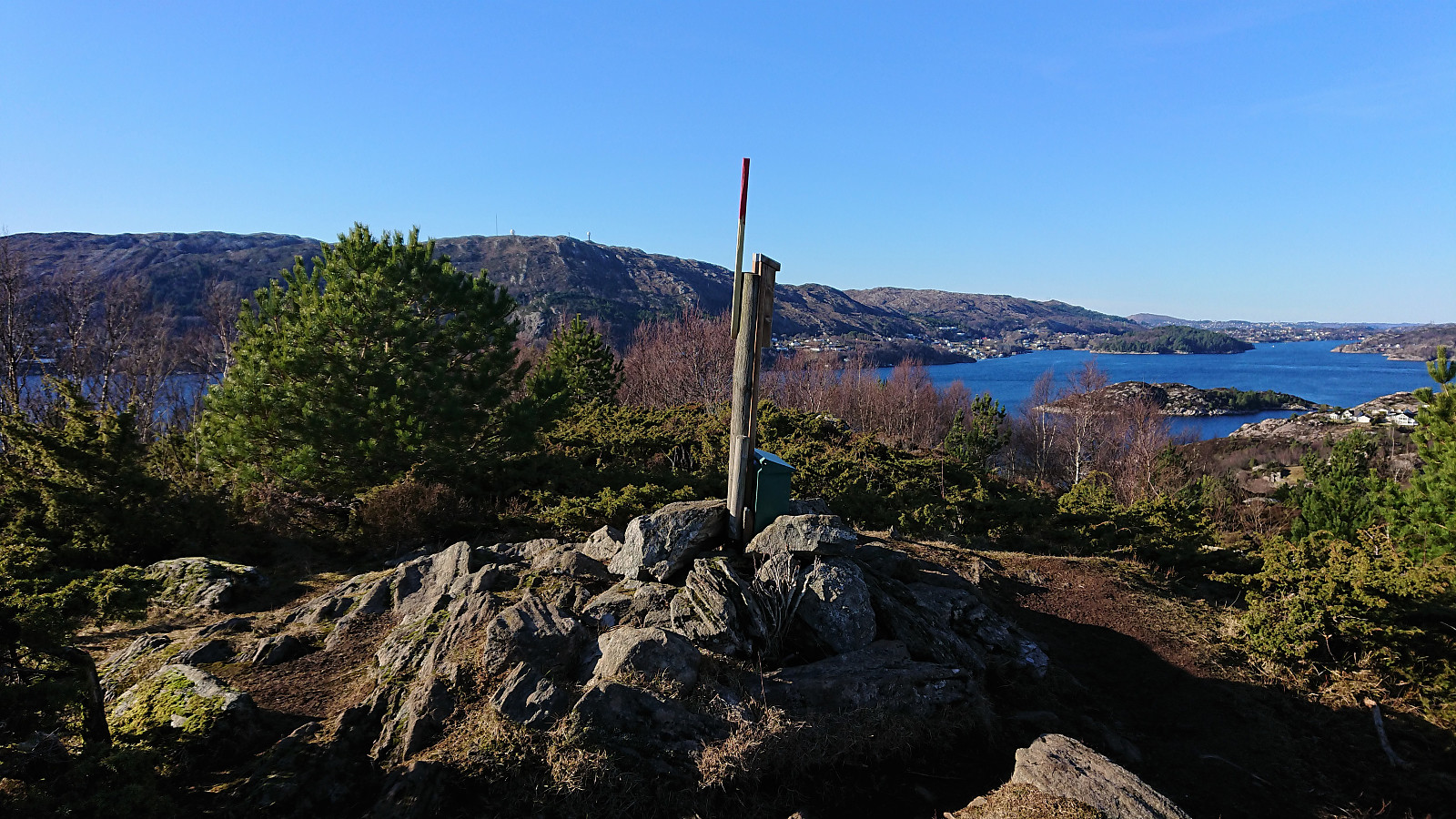
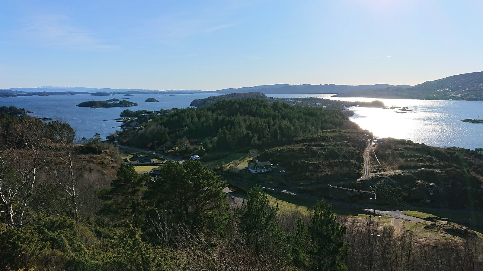
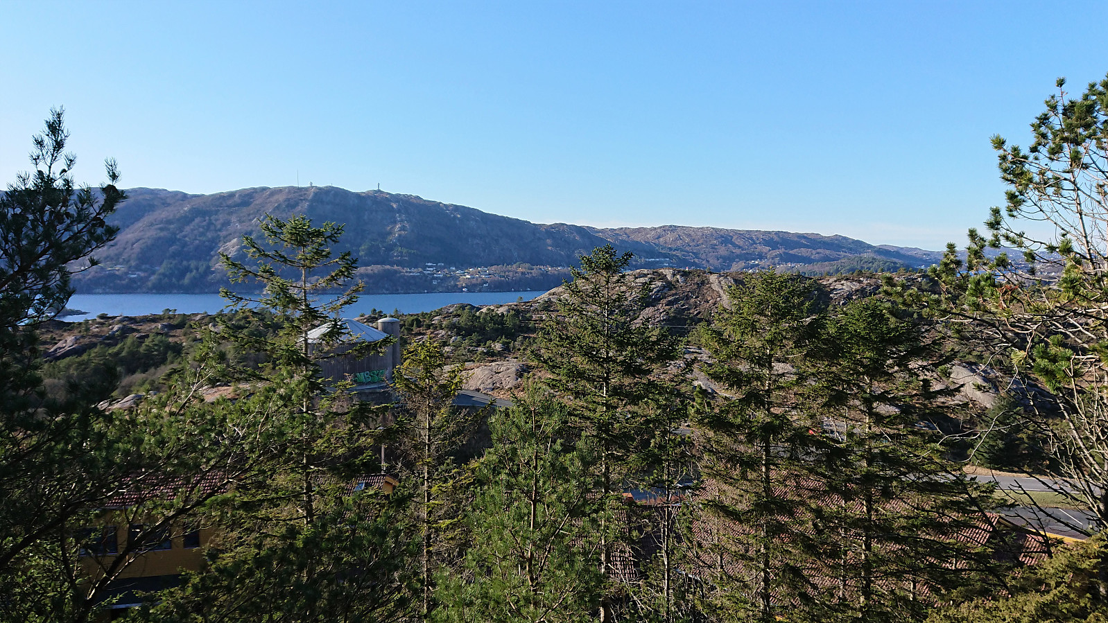
After our hike at Tyssøyna, we made the short drive to the parking lot in front of Bjorøy skule. From there we walked about 250 meters south along the road to an unmarked trailhead taking us via Langafjellet (although not via the highest point, which is on a small ridge less than 150 meters to the west) to Nibben. Pretty good views from the summit, although not as great as from Varden on Tyssøyna.
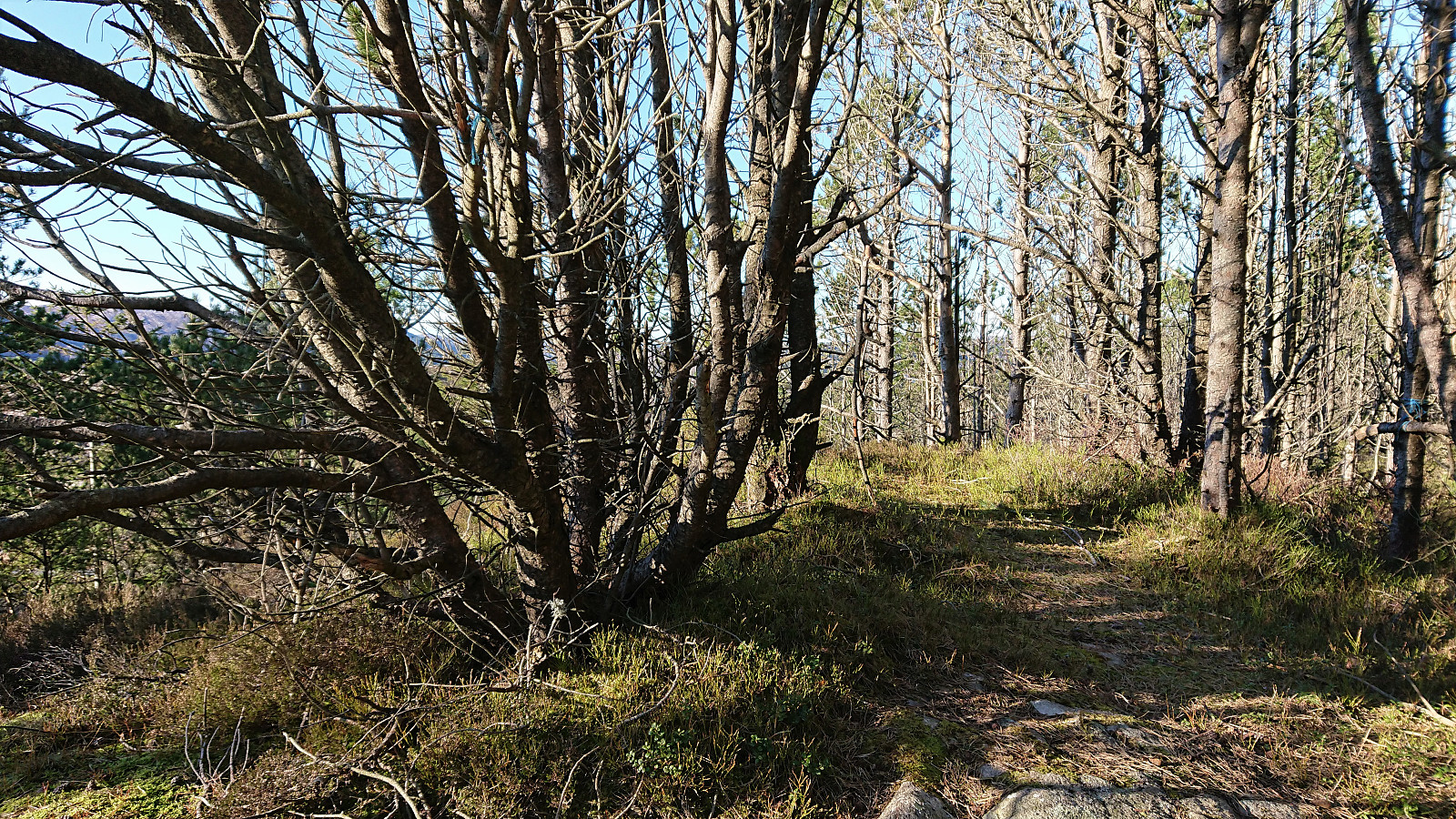
So far, the trail had been ok and even had the occasional trail marker, but shortly after turning northeast for Rundelen the trail pretty much disappeared (even though we were following the trail indicated on the map). We did however connect with a marked trail shortly before turning north towards the summit. Hence there should be a better route in between these two summits.
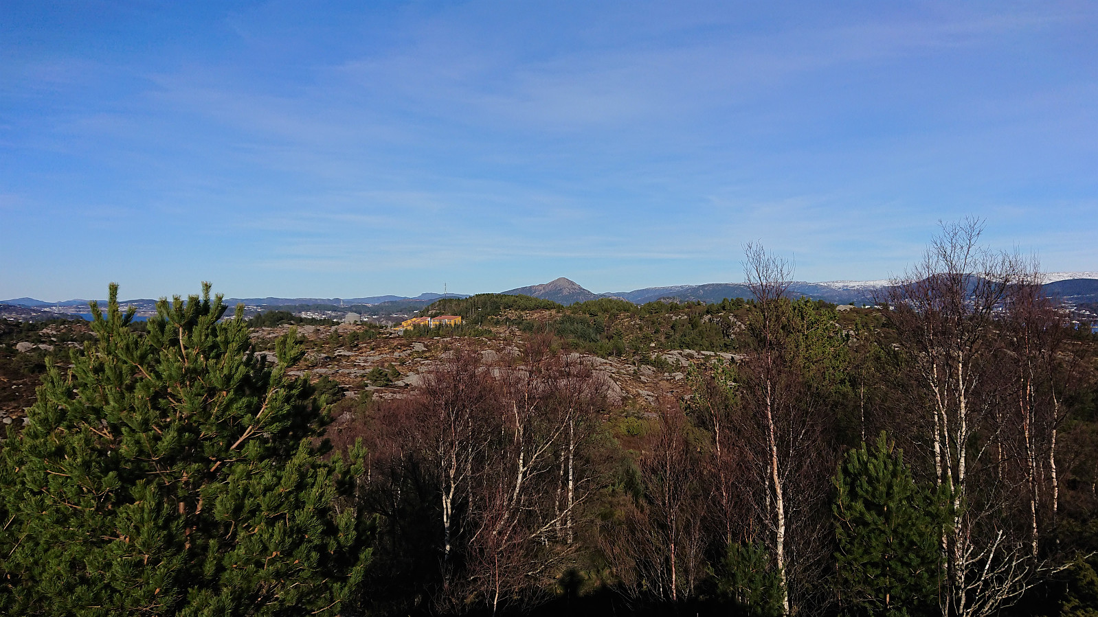
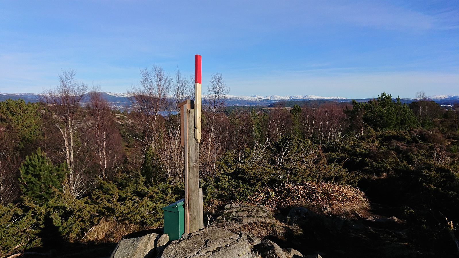
This new trail took us almost to the summit of Rundelen, except for the final 50 meters. But this short off-trail section was also straightforward. The summit itself provided relatively limited views, but Pyttane could be spotted between the trees. After returning to the trail, we passed by the school on our way back to the parking lot. In summary, an ok hike along decent trails (if avoiding our "shortcut" that is), but the earlier hike at Tyssøyna was clearly the better of the two.
| Starttidspunkt | 03.03.2022 14:27 (UTC+01:00) |
| Sluttidspunkt | 03.03.2022 15:26 (UTC+01:00) |
| Totaltid | 0t 59min |
| Bevegelsestid | 0t 52min |
| Pausetid | 0t 7min |
| Snittfart totalt | 2,5km/t |
| Snittfart bevegelsestid | 2,9km/t |
| Distanse | 2,5km |
| Høydemeter | 92m |


Kommentarer