
Skiing across Vidden (19.02.2022)

Written by hbar (Harald Barsnes)

| Start point | Ulriksbanen upper station (605m) |
|---|---|
| Endpoint | Lønborg (56m) |
| Characteristic | Backcountry skiing |
| Duration | 5h 31min |
| Distance | 21.5km |
| Vertical meters | 591m |
| GPS |
|
| Ascents | Byfjellenes høyeste punkt (674m) | 19.02.2022 |
|---|---|---|
| Hauggjelsvarden (673m) | 19.02.2022 | |
| Rundemanen (568m) | 19.02.2022 | |
| Ulriken Vest (607m) | 19.02.2022 | |
| Vardegga (637m) | 19.02.2022 | |
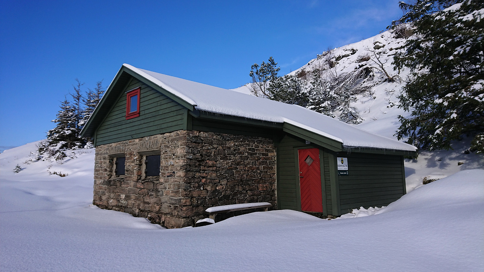
| Visits of other PBEs | Brushytten (412m) | 19.02.2022 |
| Eidsvågshytten (452m) | 19.02.2022 | |
| Furekammen (163m) | 19.02.2022 | |
| Grindarasten (375m) | 19.02.2022 | |
| Haukelandsstikkene (659m) | 19.02.2022 | |
| Kronborg (ruin) (551m) | 19.02.2022 | |
| Munkegrind (158m) | 19.02.2022 | |
| Nødkjelke ved Arken (605m) | 19.02.2022 | |
| Nødkjelke, Borgaskaret (604m) | 19.02.2022 | |
| Nødkjelke, Ulriken (586m) | 19.02.2022 | |
| Skjulet (653m) | 19.02.2022 | |
| Steinbu (630m) | 19.02.2022 | |
| Turnerhytten (642m) | 19.02.2022 | |
| Ulriksbanen (99m) | 19.02.2022 | |
| Valhal (645m) | 19.02.2022 | |
| Vannverkshus i Skiveien (244m) | 19.02.2022 |
Skiing across Vidden
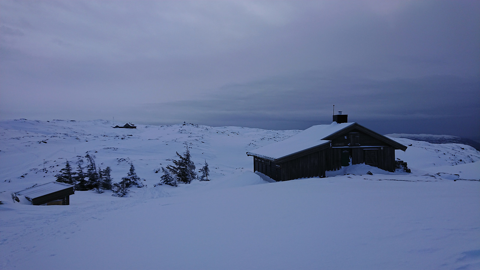
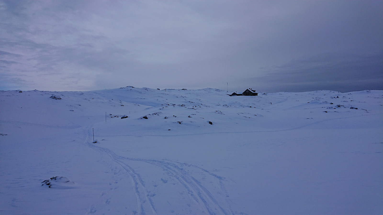
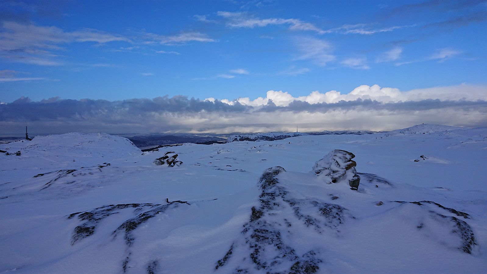
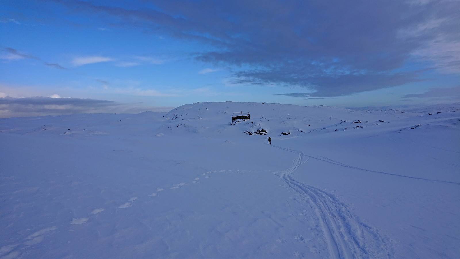
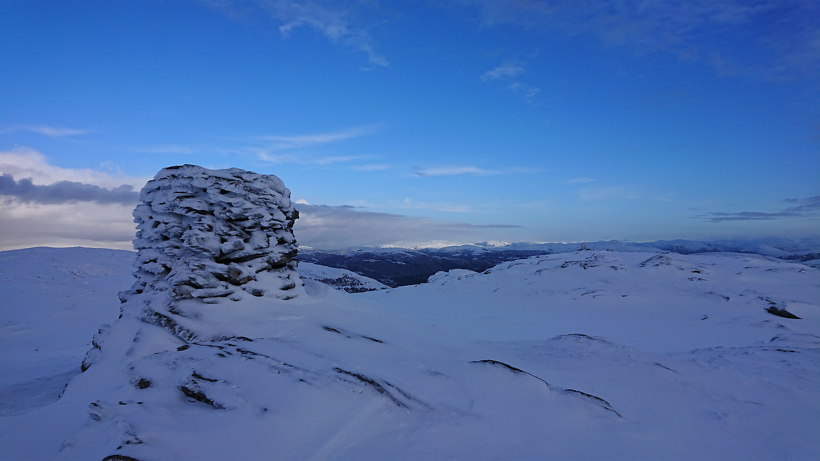
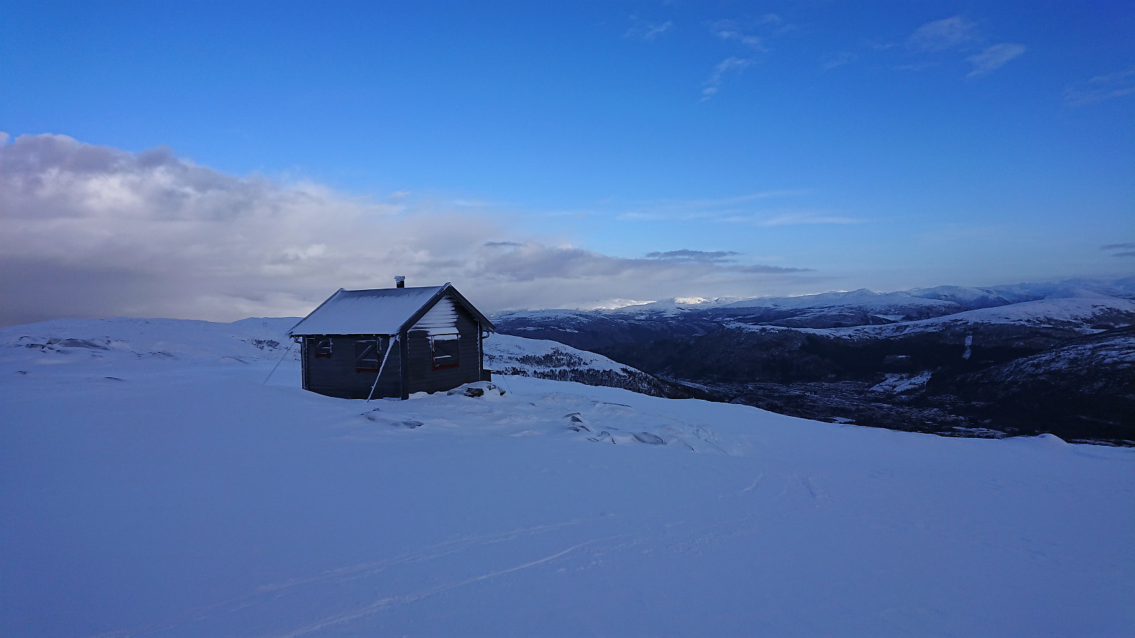
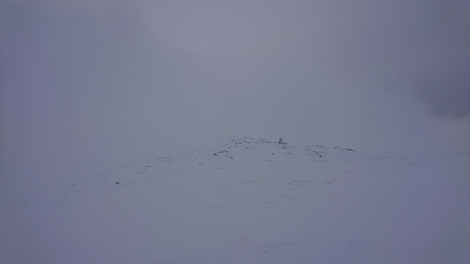
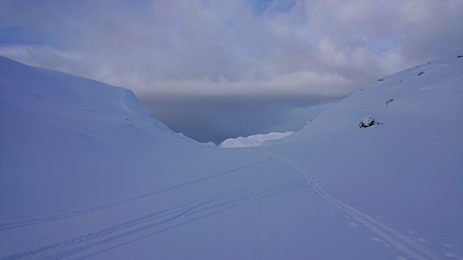
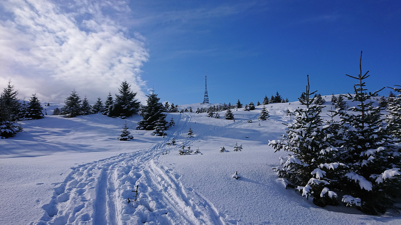
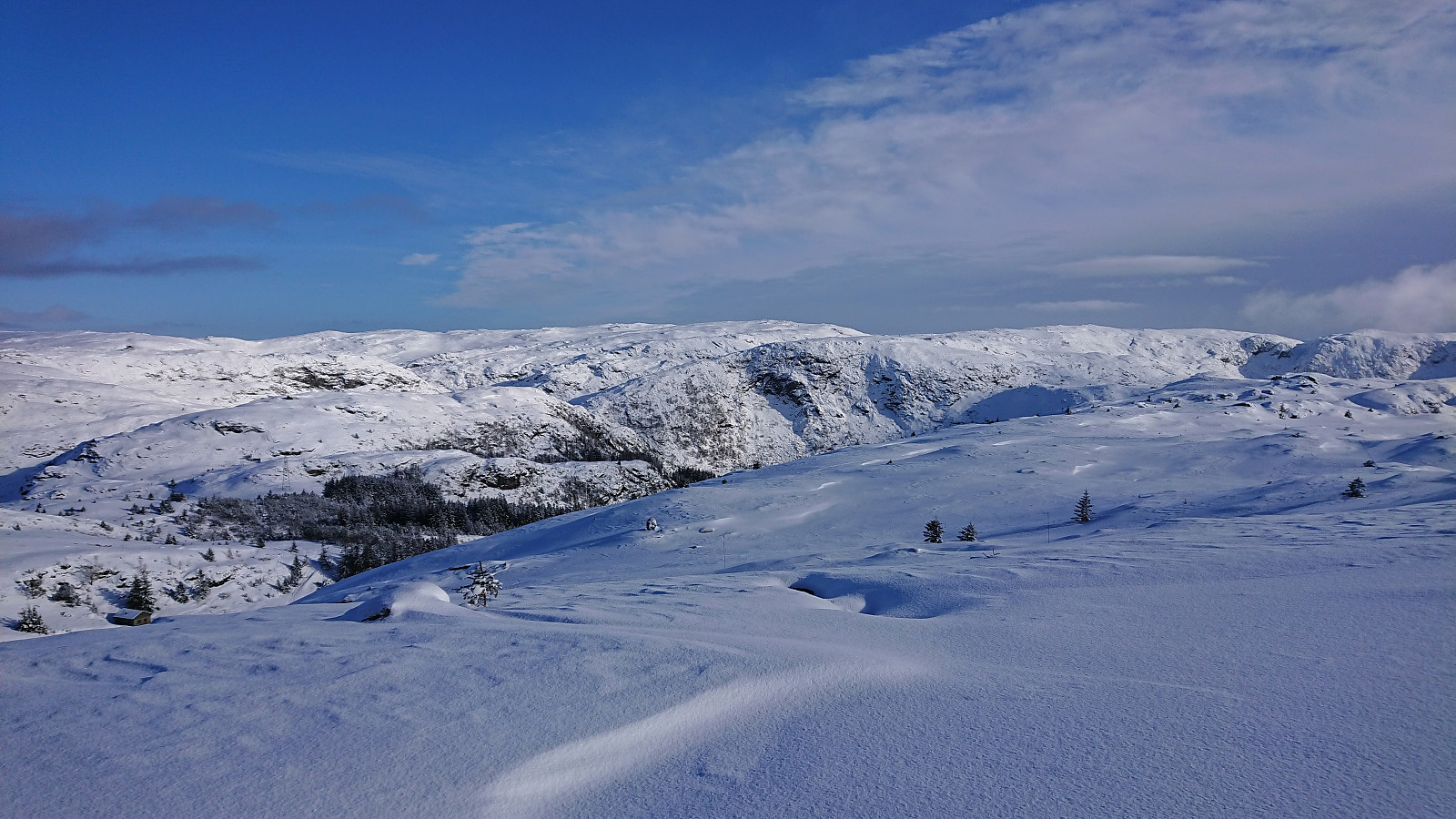
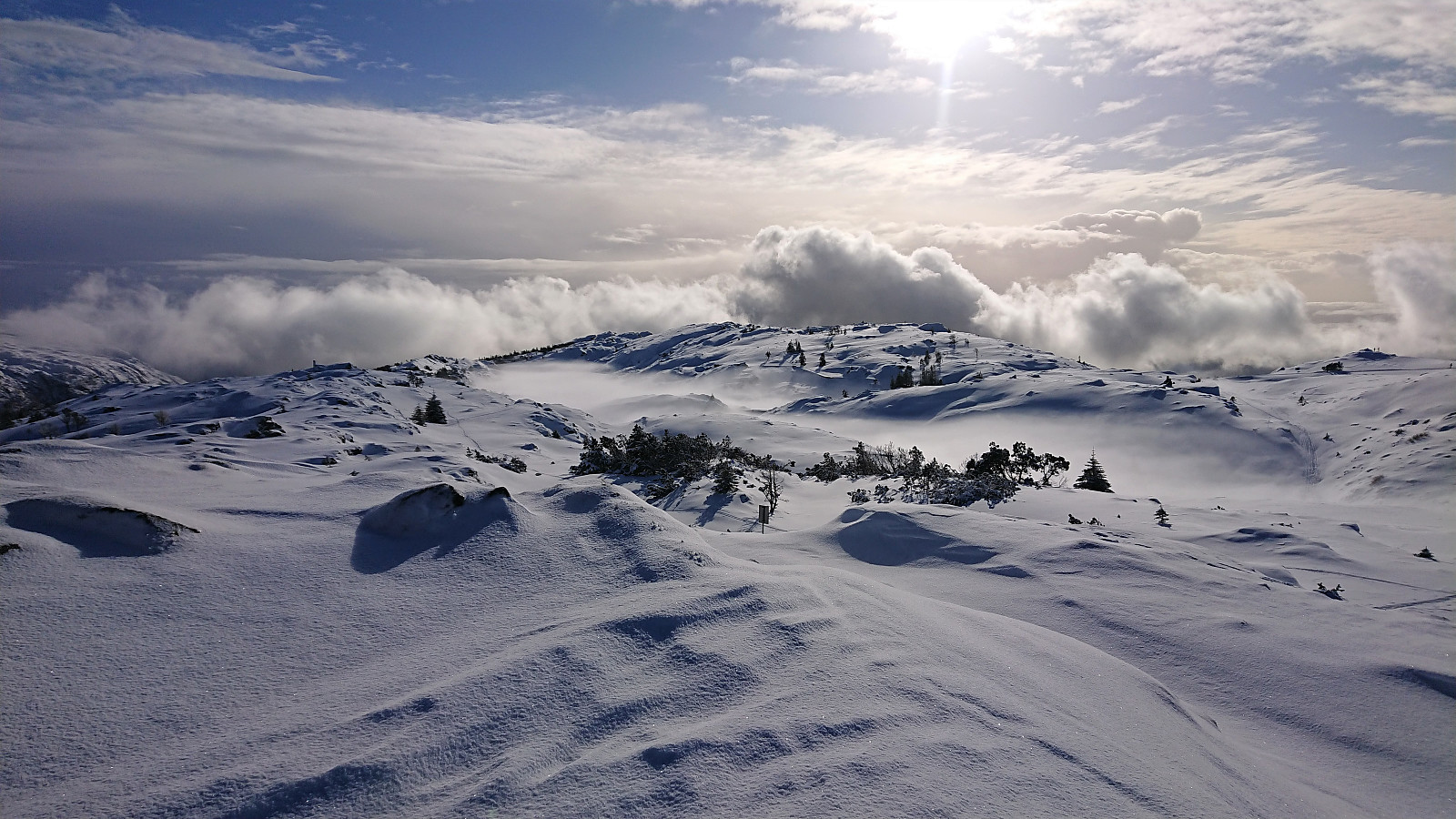
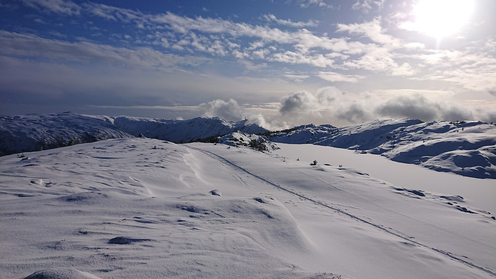
With reports of excellent skiing conditions at Byfjellene in the local newspaper we decided on the usual skiing trip across Vidden. Thanks to Ulriksbanen (195 kr per person), we easily arrived at the upper station of the cable car where we could confirm that the conditions were in fact excellent! After a short detour via Turnerhytten and Byfjellenes høyeste punkt, we followed the standard skiing route across Vidden. The only real challenge being the dense fog accompanied by a snow shower occurring just as we started our ascent from Borgaskaret to Vardegga. But thankfully it did not last long and we could soon again enjoy the excellent condition when skiing down to Øvre Jordalsvatnet. The skis stayed on until the small dam north of Storevatnet. We could probably have continued a bit further, but the increasing number of small rocks sticking out of the snow made this less appealing. Overall, a close to perfect skiing trip at Byfjellene!
| Start date | 19.02.2022 10:51 (UTC+01:00) |
| End date | 19.02.2022 16:22 (UTC+01:00) |
| Total Time | 5h 31min |
| Moving Time | 4h 35min |
| Stopped Time | 0h 55min |
| Overall Average | 3.9km/h |
| Moving Average | 4.7km/h |
| Distance | 21.5km |
| Vertical meters | 591m |


User comments