
Utnehagen and Hellemyrstien (06.02.2022)

Written by hbar (Harald Barsnes)

| Start point | Lønborg (56m) |
|---|---|
| Endpoint | Lønborg (56m) |
| Characteristic | Hike |
| Duration | 2h 25min |
| Distance | 10.4km |
| Vertical meters | 351m |
| GPS |
|
| Ascents | Hellefjellet (135m) | 06.02.2022 |
|---|---|---|
| Visits of other PBEs | Furekammen (163m) | 06.02.2022 |
| Hellegrind (199m) | 06.02.2022 | |
| Ishuset ved Langevatnet (127m) | 06.02.2022 | |
| Munkegrind (158m) | 06.02.2022 | |
| Venehaugen (ruin) (15m) | 06.02.2022 |
Utnehagen and Hellemyrstien
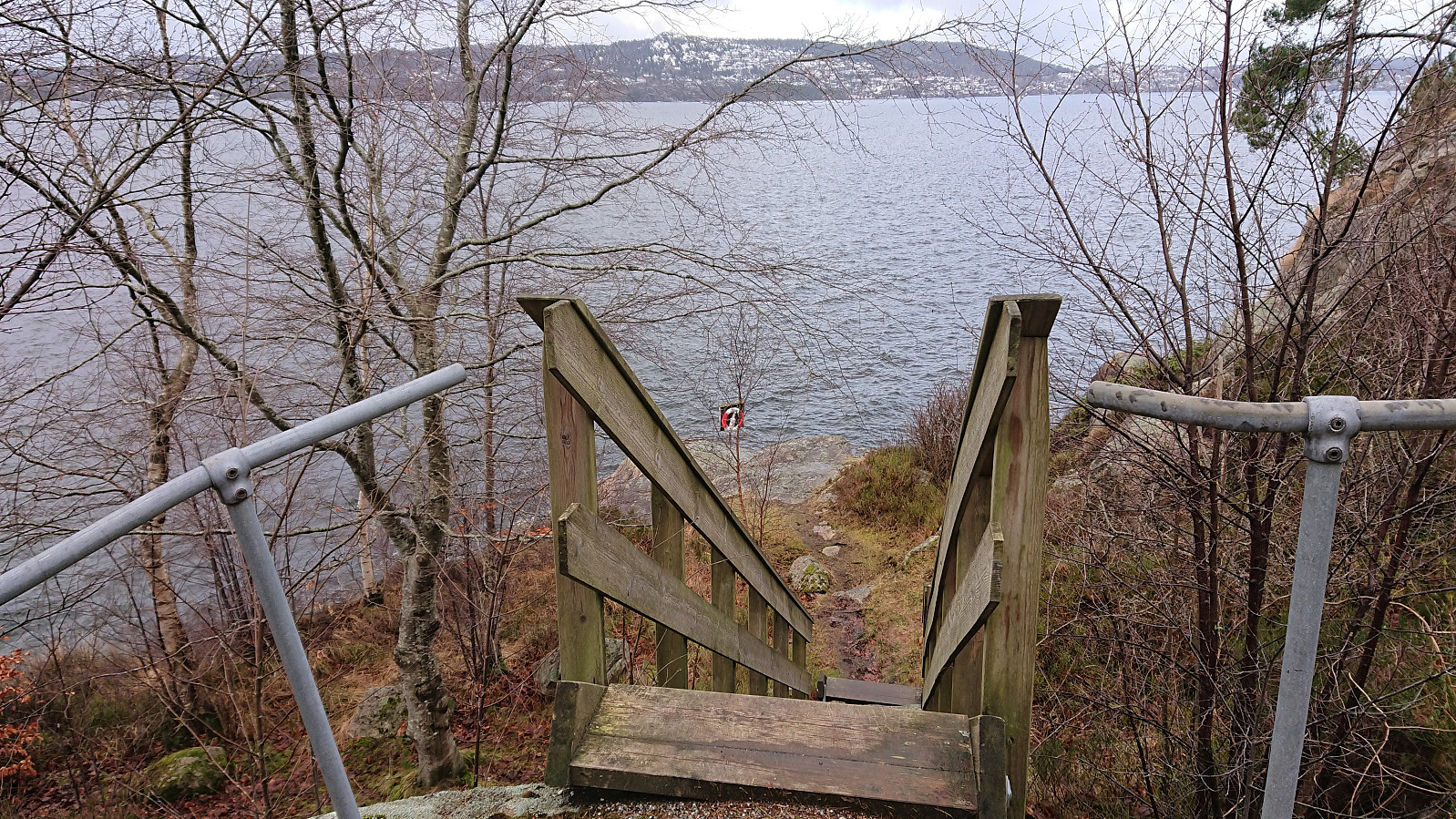
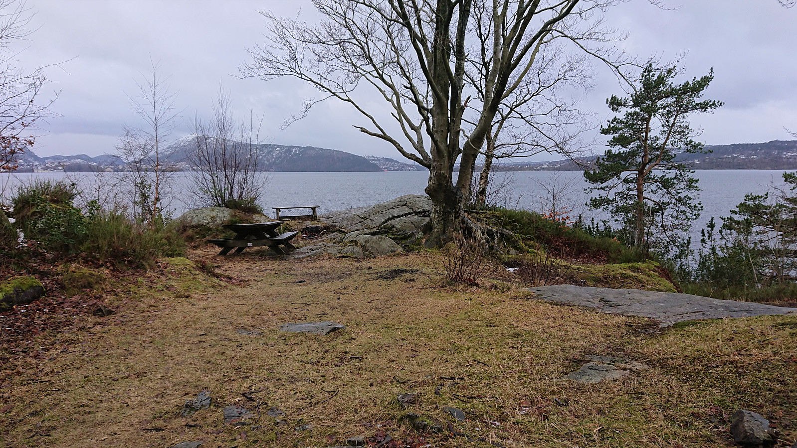
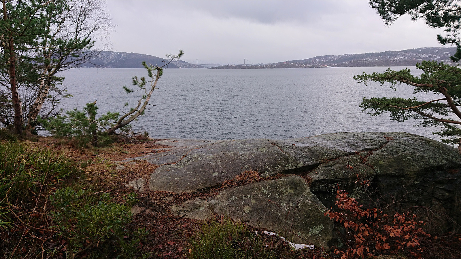
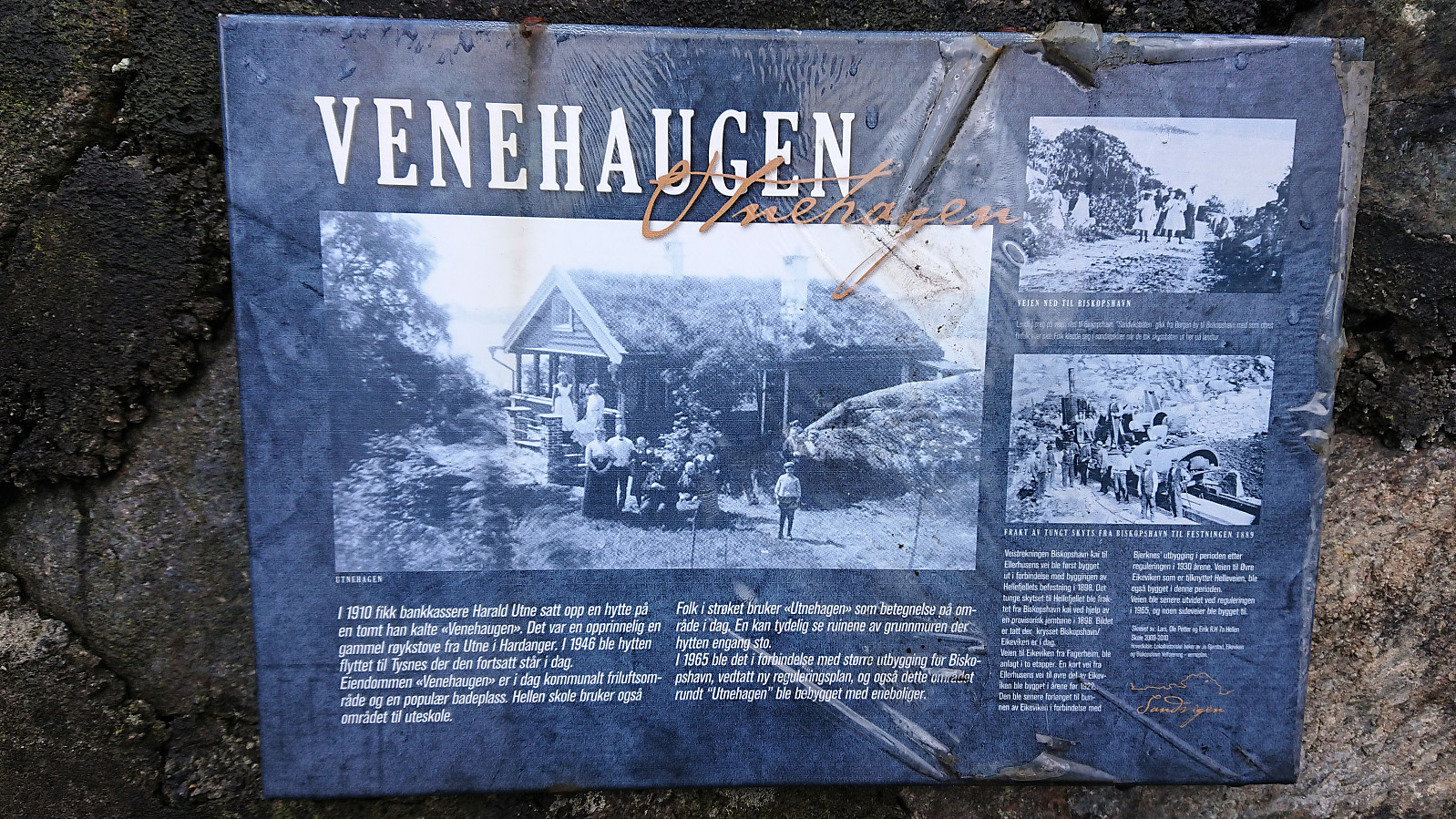
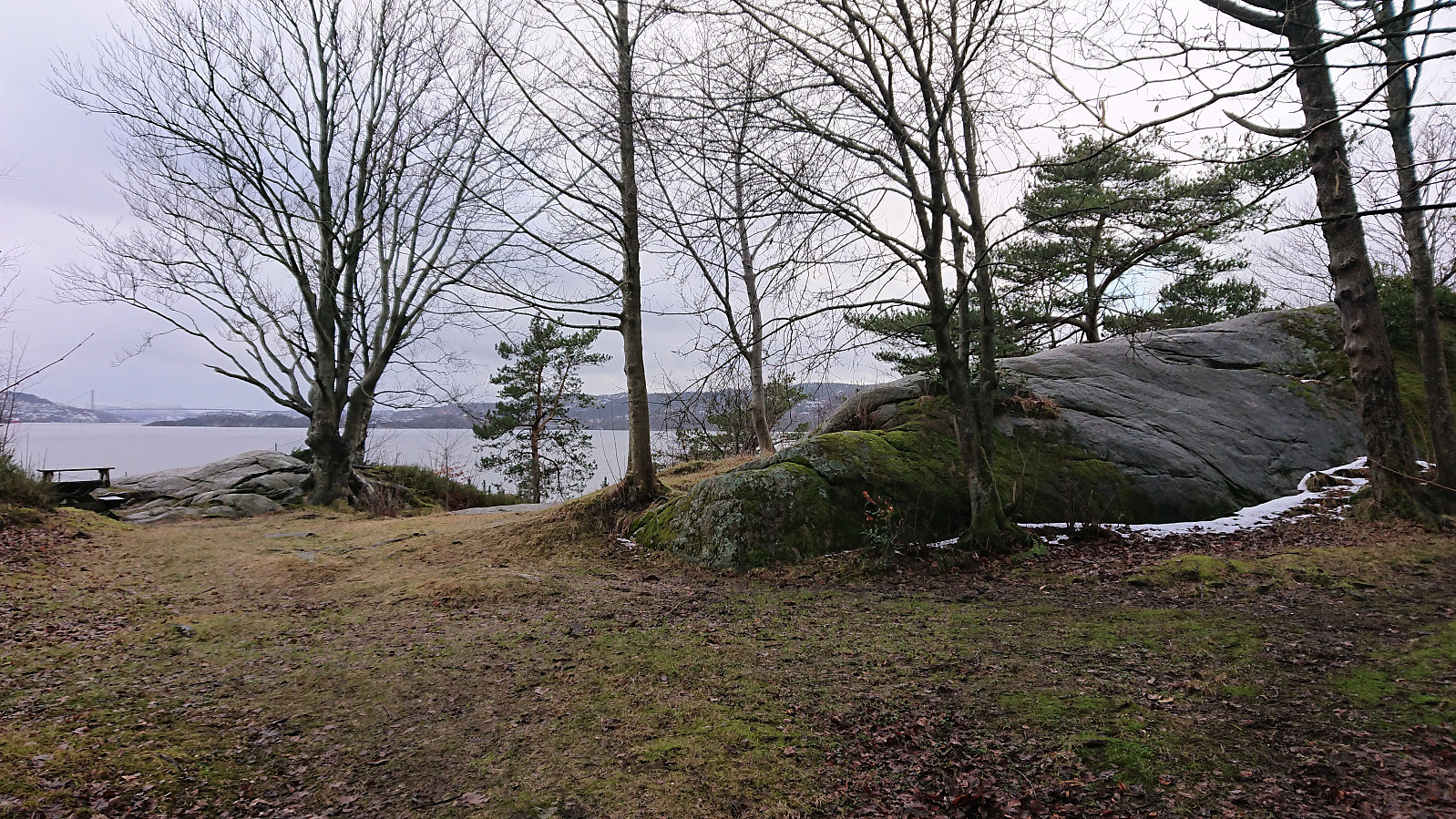
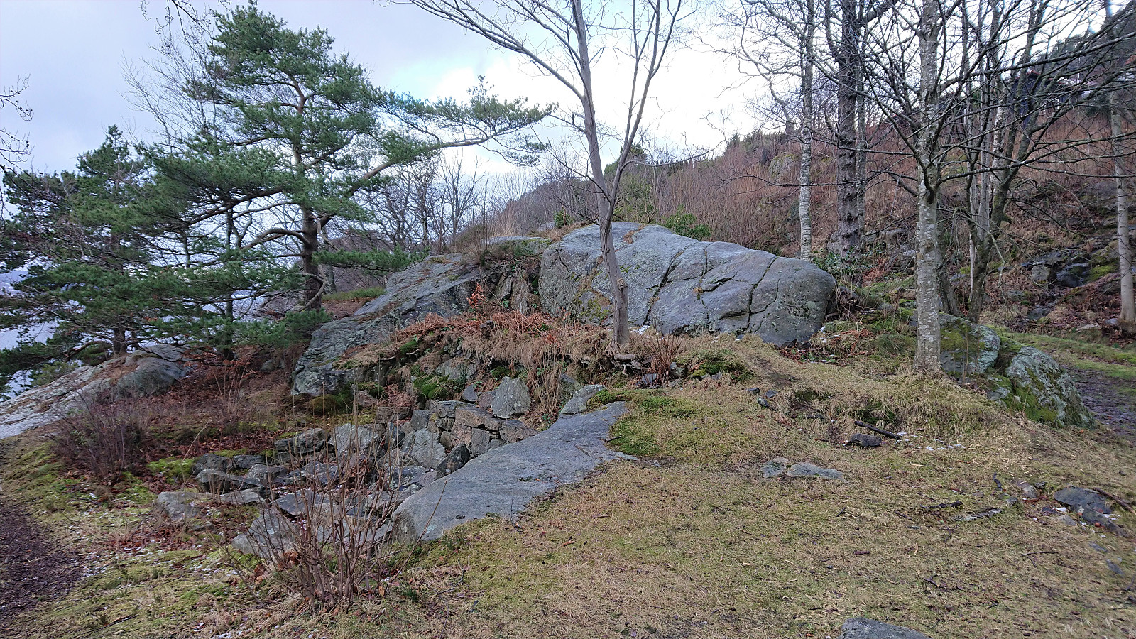
From a recent trip report by Kjell51 (Kjell Øijorden) I was made aware of a local area I had not yet visited, namely Utnehagen just north of Biskopshavn. So on a Sunday where the weather forecast recommended staying away from high peaks due to increased chances of lightning strikes (which in the end did not materialize), I took the advice and headed for Utnehagen instead. As an extra bonus I came across an old ruin and an accompanying sign indicating that the location had originally been called Venehaugen. After brief visits of Biskopshavn and Fagernes, I headed home via Skytterveien and Hellemyrstien.
| Start date | 06.02.2022 12:54 (UTC+01:00) |
| End date | 06.02.2022 15:20 (UTC+01:00) |
| Total Time | 2h 25min |
| Moving Time | 2h 13min |
| Stopped Time | 0h 12min |
| Overall Average | 4.3km/h |
| Moving Average | 4.7km/h |
| Distance | 10.4km |
| Vertical meters | 351m |


User comments