
Åstveitskogen, Hestaberget and Griggastemma (05.02.2022)

Written by hbar (Harald Barsnes)

| Start point | Åstveitvegen (55m) |
|---|---|
| Endpoint | Lønborg (56m) |
| Characteristic | Hillwalk |
| Duration | 2h 20min |
| Distance | 9.1km |
| Vertical meters | 341m |
| GPS |
|
| Ascents | Hestaberget (113m) | 05.02.2022 |
|---|---|---|
| Visits of other PBEs | Hestaberget utsiktspunkt (93m) | 05.02.2022 |
Åstveitskogen, Hestaberget and Griggastemma
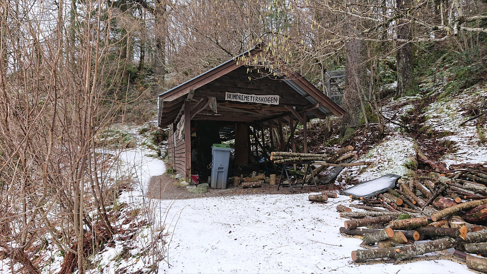

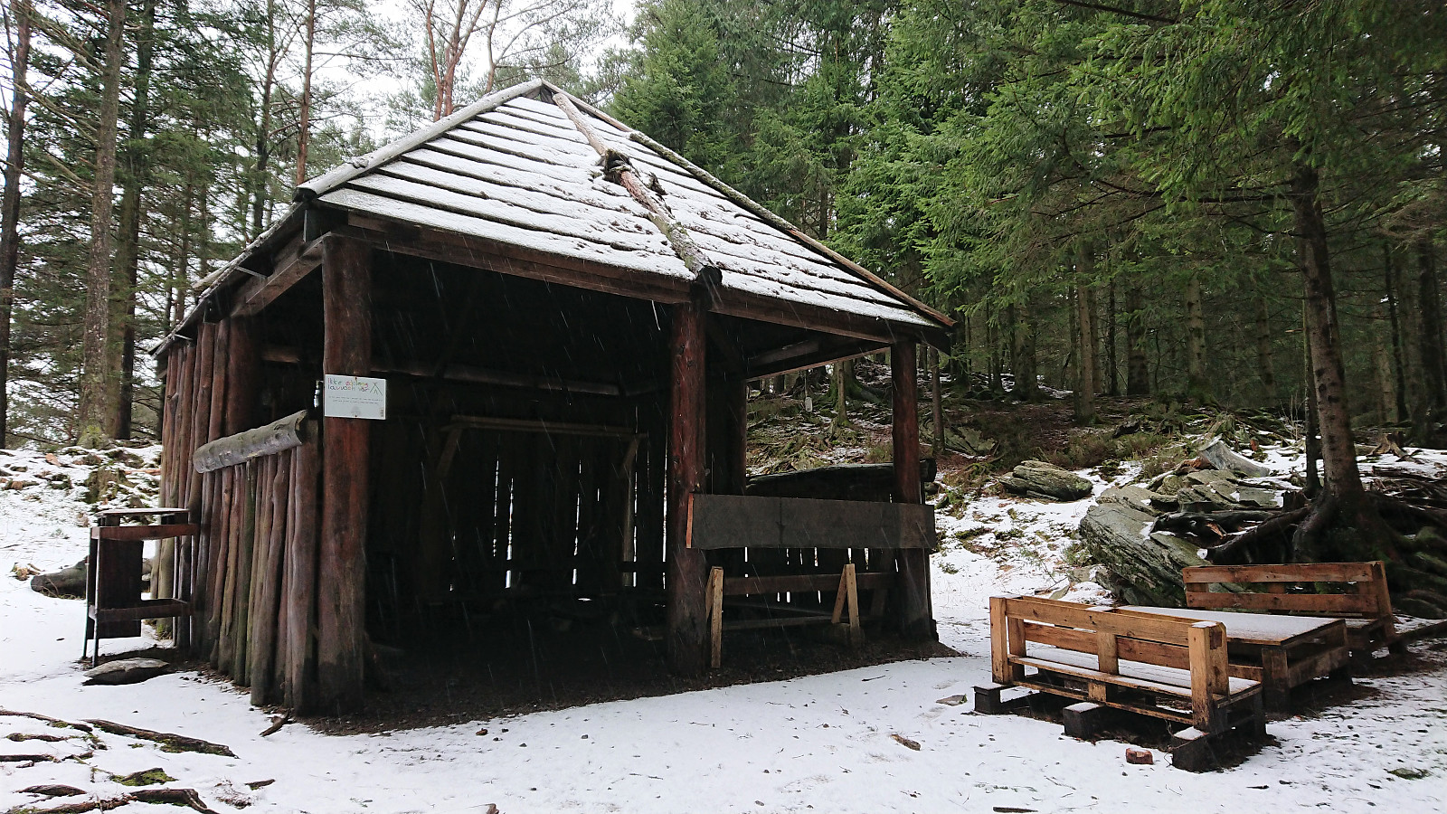
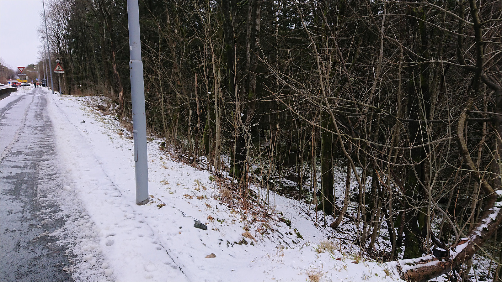
On a Saturday where the weather forecast was not very suitable for longer hikes, at least not those also requiring travelling, I decided to rather go for an exploration of Åstveitskogen - an area close by that I had not previously visited. I started by taking the bus to Åstveit and getting off at the stop called "Åstveitvegen". After a short walk along the road I easily located the unmarked trailhead into Åstveitskogen and shortly passed by a shelter with a sign that said "Hundremeterskogen".
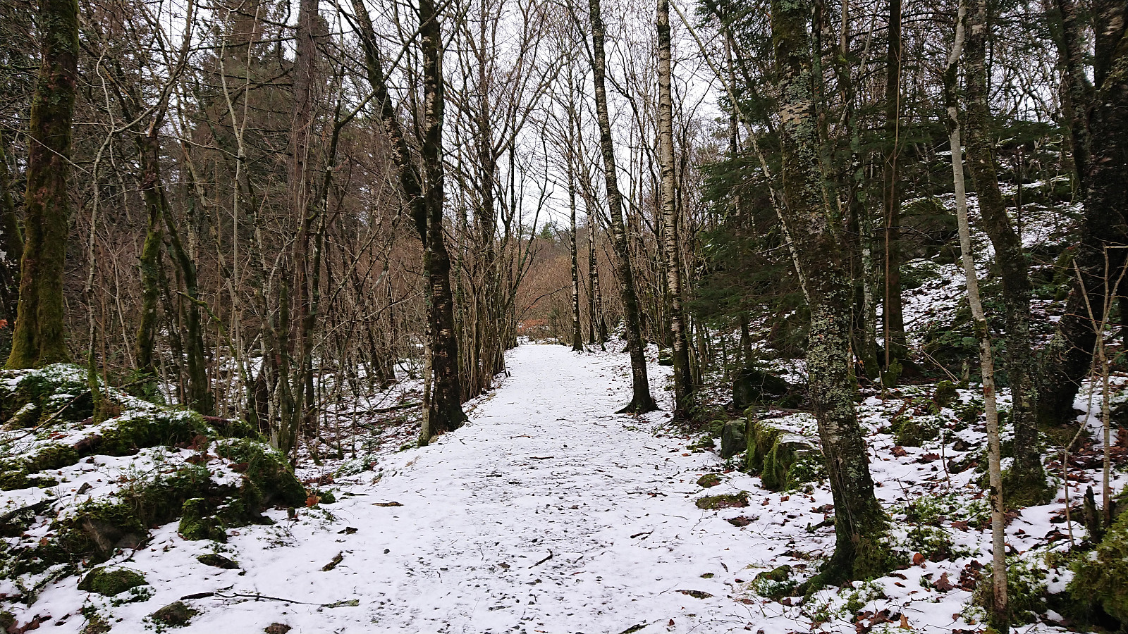
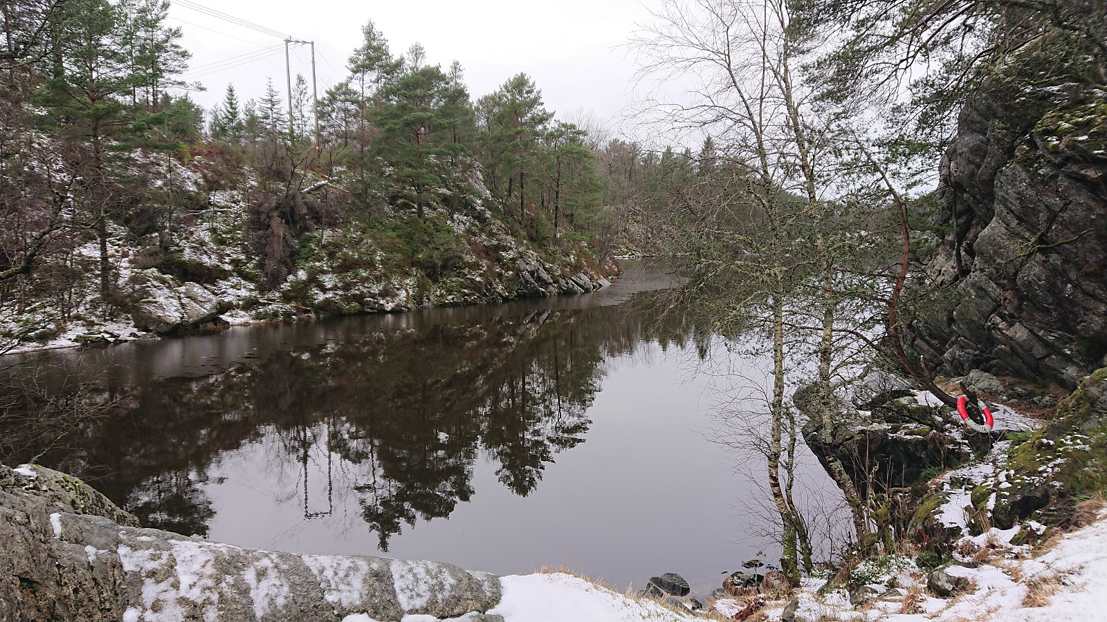
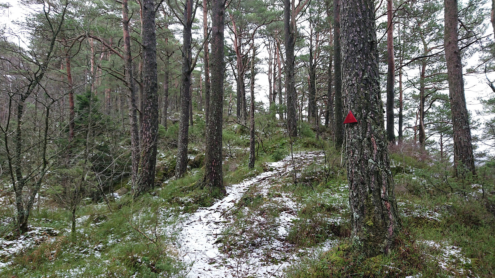
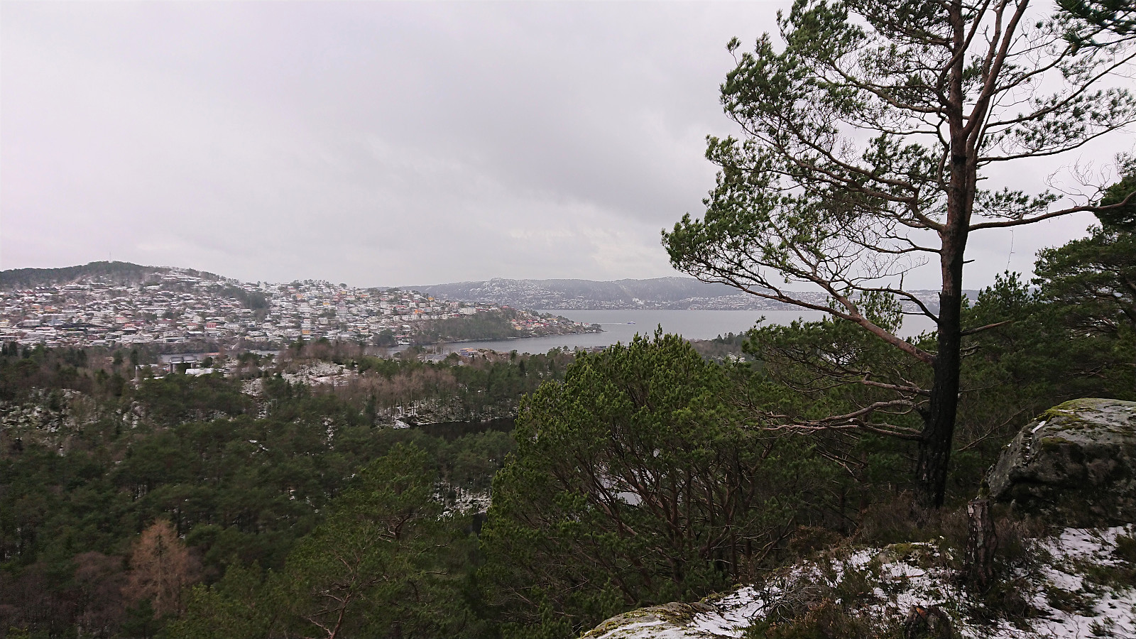
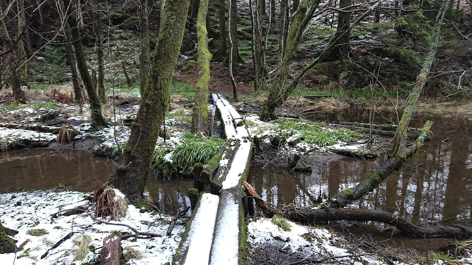
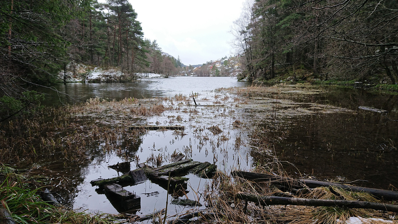
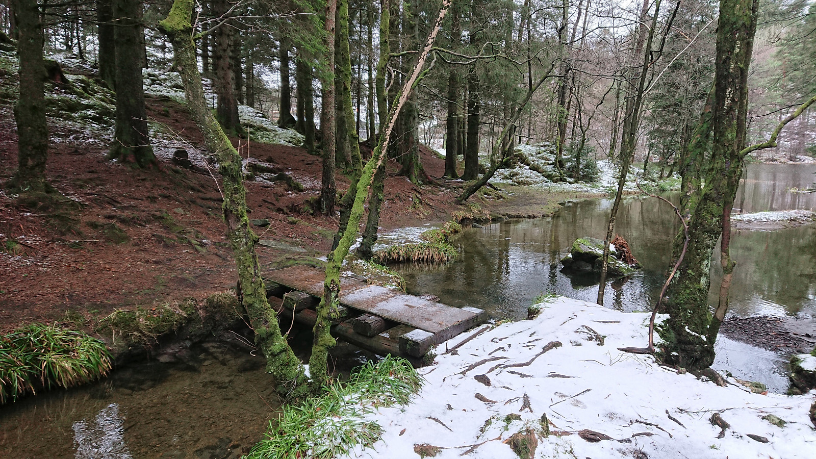
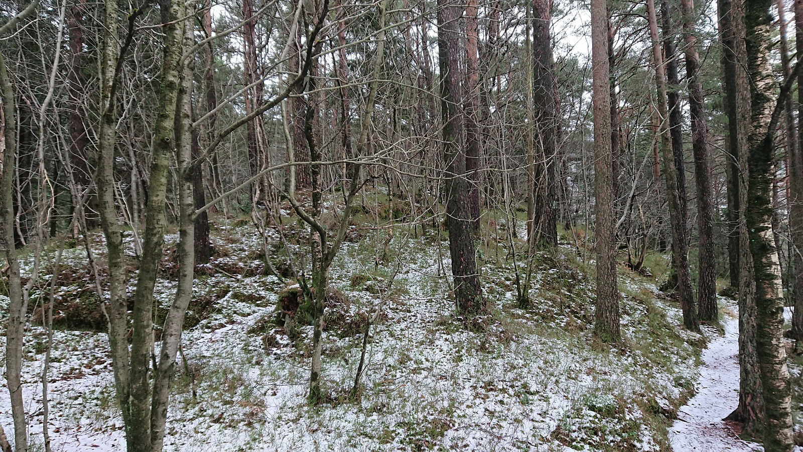
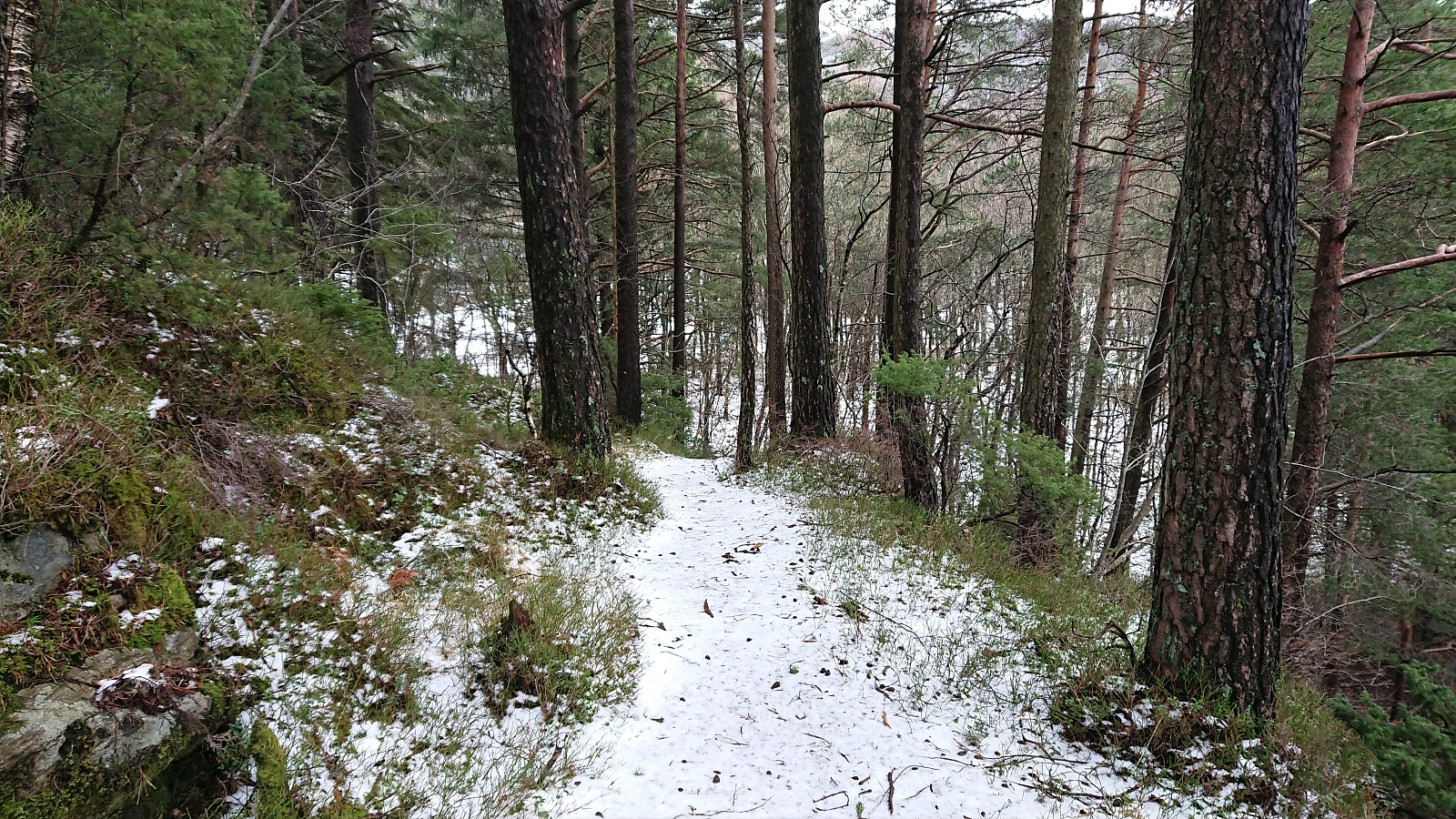
Plenty of trails/gravel roads to choose from and I made a quick visit of Åstveitvatnet, or Kanalen as it was called on the signs, before heading north and following a marked trail towards Hestaberget. The summit itself had very limited views, but there was a spot about 200 meters west of the summit with nice views to the south and southwest. Worth the extra meters if ascending the summit from the east.
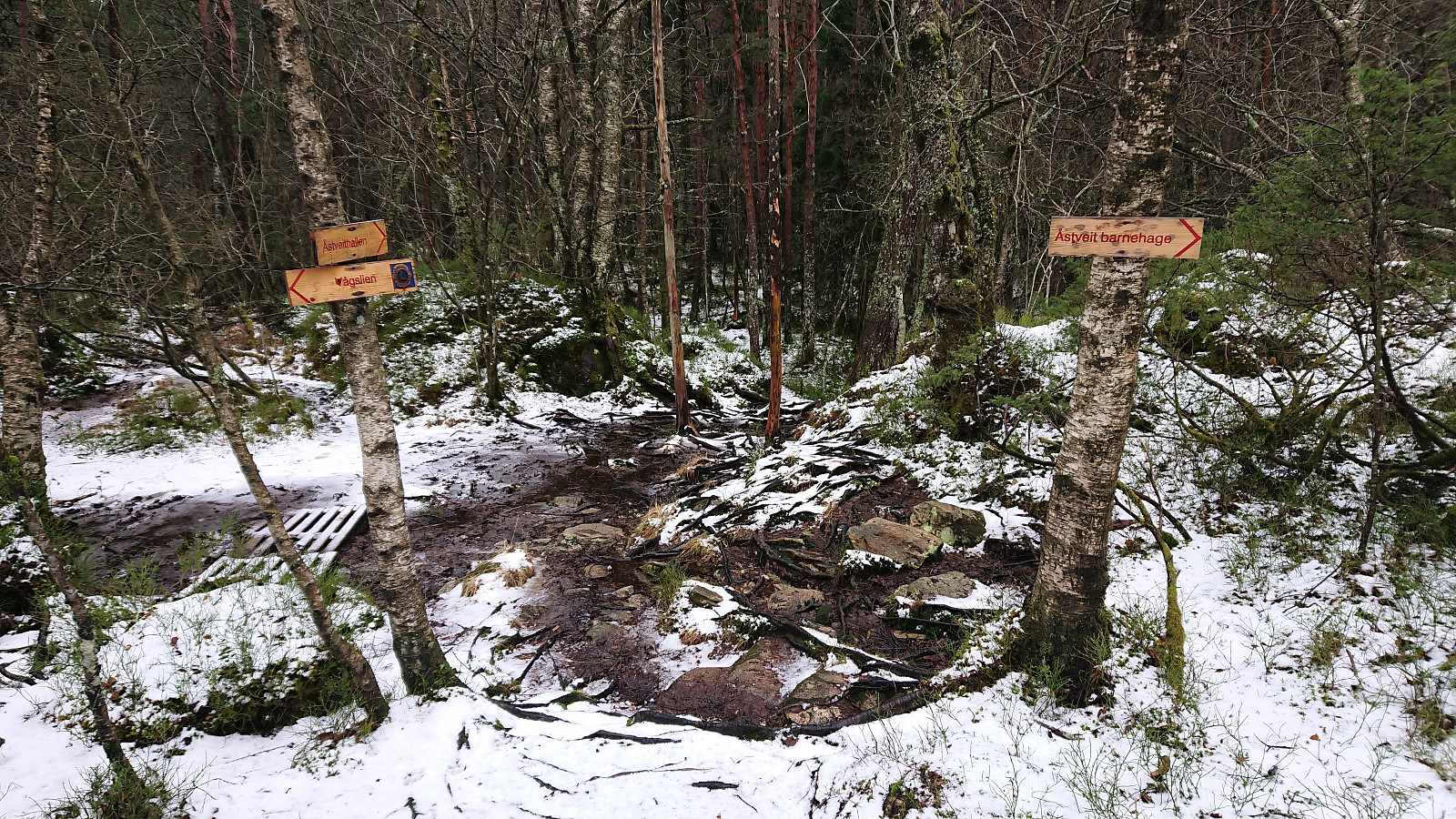
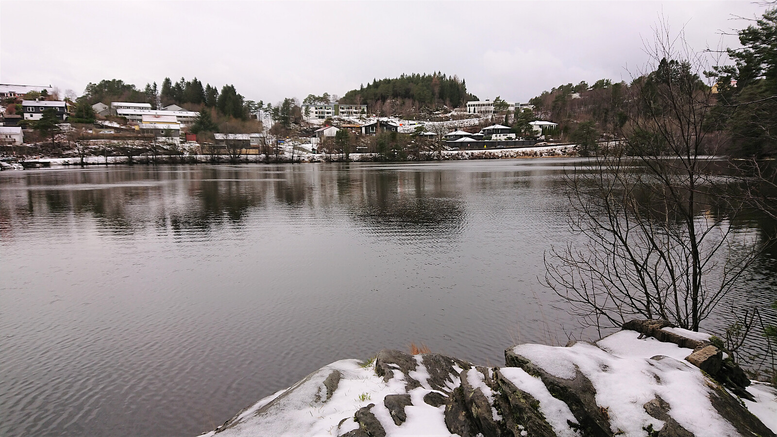
Next, I followed the trail east across the summit and quickly ended up on the paved road next to the kindergarten. From there I descended to the main road before doing a detour around Griggastemma. There was a trail for the whole round, but the northern part had seen better days. I included a visit of the highest point on the eastern side of the Griggastemma, which may go under the name Stemhøyen, although this is not clear from the map. It can be easily reached from the trail, but I decided not to add it as its own PB-element.
Finally, the hike was concluded by walking along the roads home to Lønborg, where it started snowing shortly after my arrival.

| Start date | 05.02.2022 10:36 (UTC+01:00) |
| End date | 05.02.2022 12:57 (UTC+01:00) |
| Total Time | 2h 20min |
| Moving Time | 2h 17min |
| Stopped Time | 0h 3min |
| Overall Average | 3.9km/h |
| Moving Average | 4.0km/h |
| Distance | 9.1km |
| Vertical meters | 340m |


User comments