
Searching for a 120-year-old cabin ruin behind Rundemanen (30.01.2022)

Written by hbar (Harald Barsnes)

| Start point | Statsarkivet (51m) |
|---|---|
| Endpoint | Lønborg (56m) |
| Characteristic | Hillwalk |
| Duration | 5h 20min |
| Distance | 17.9km |
| Vertical meters | 851m |
| GPS |
|
| Ascents | Blåmanen Vest (552m) | 30.01.2022 |
|---|---|---|
| Rundemanen (568m) | 30.01.2022 | |
| Visits of other PBEs | Brushytten (412m) | 30.01.2022 |
| Furekammen (163m) | 30.01.2022 | |
| Grindarasten (375m) | 30.01.2022 | |
| Munkegrind (158m) | 30.01.2022 | |
| Nødkjelke, Rundemanen (533m) | 30.01.2022 | |
| Solhaugen søyle (107m) | 30.01.2022 | |
| Steinhus i Tarlebøveien (176m) | 30.01.2022 | |
| Tarlebødemningen (365m) | 30.01.2022 | |
| Vannverkshus i Skiveien (244m) | 30.01.2022 |
Searching for a 120-year-old cabin ruin behind Rundemanen
After managing to find all of the cabins that we included on the Hytter i Bergensernes Fjellverden II list, I have some experience with locating old ruins without needing a lot of information. However, I may now have come across the hardest challenge yet. Basically, all there is to go by is a single picture from around 1900 labeled with På byfjellet bak Rundemannen, plus an additional three pictures from (what appears to be) the same hike: Byfjellene, Bergen, På tur i Byfjellene and Mann i Fjellveien, where the second one is clearly from the road below Blåmanen. The order of the pictures is defined, neither is the route for the hike.
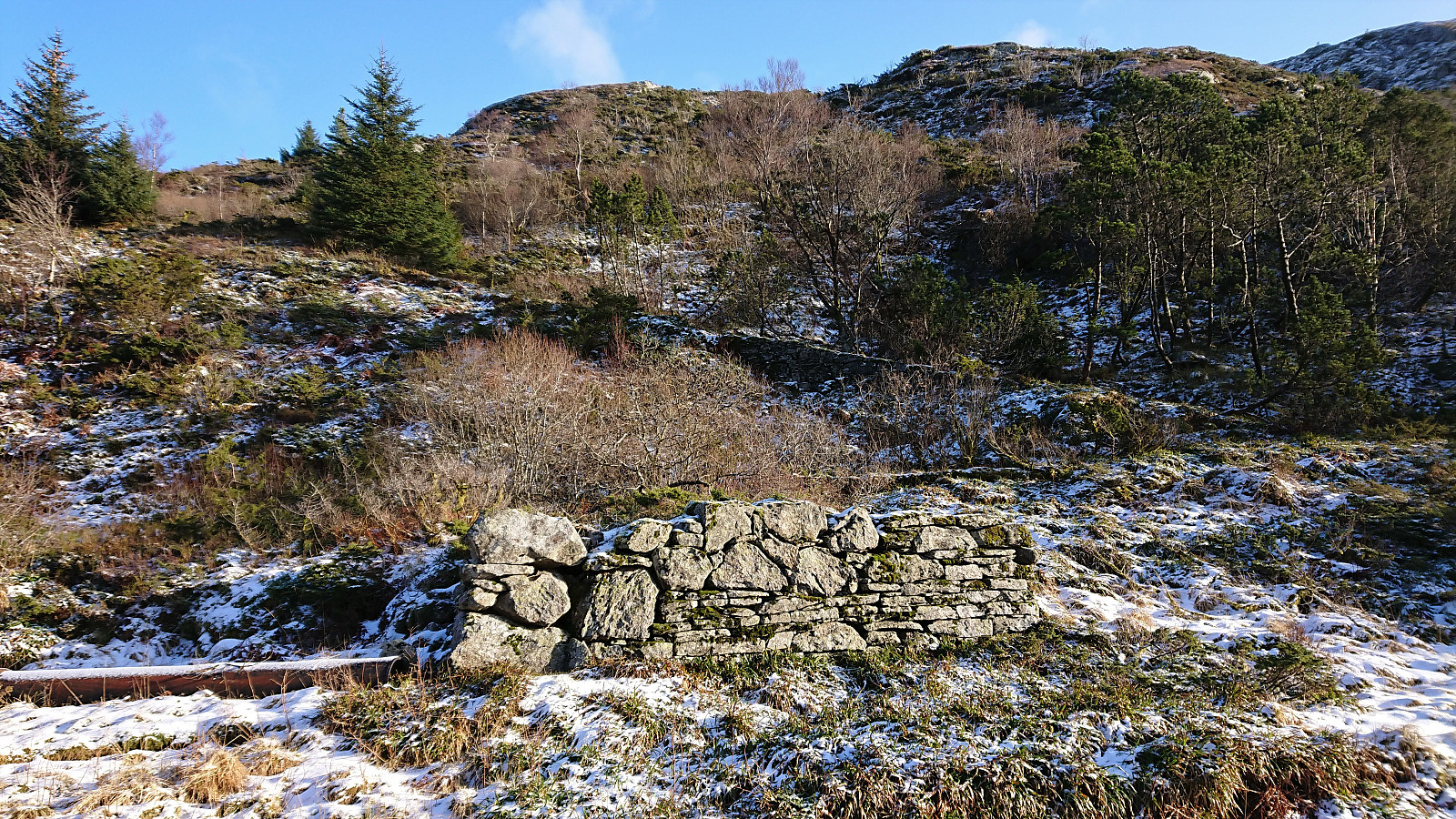
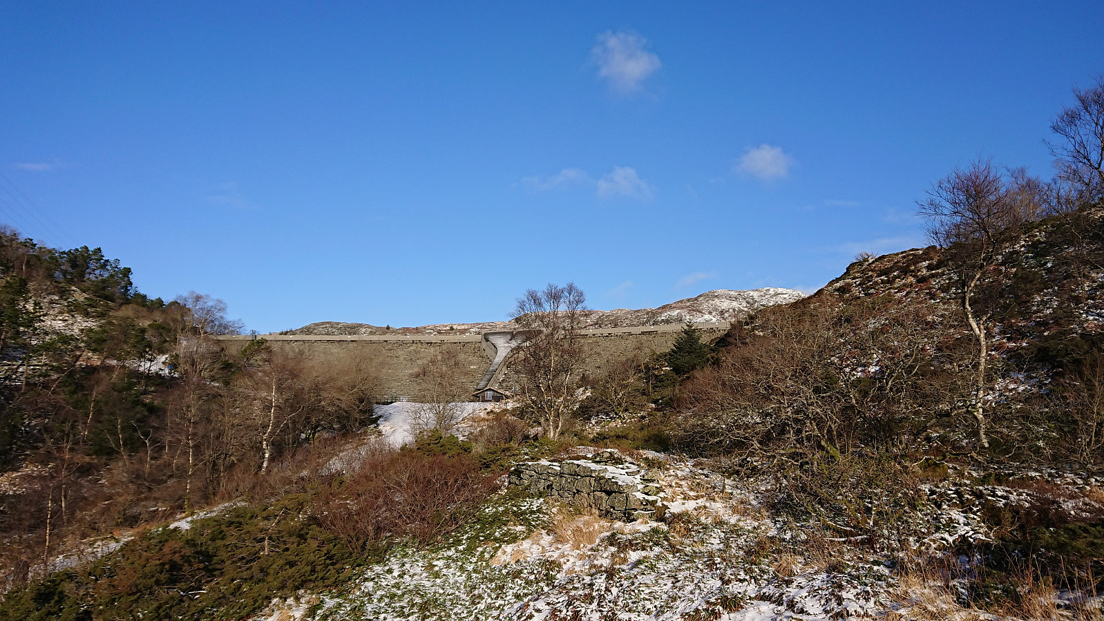
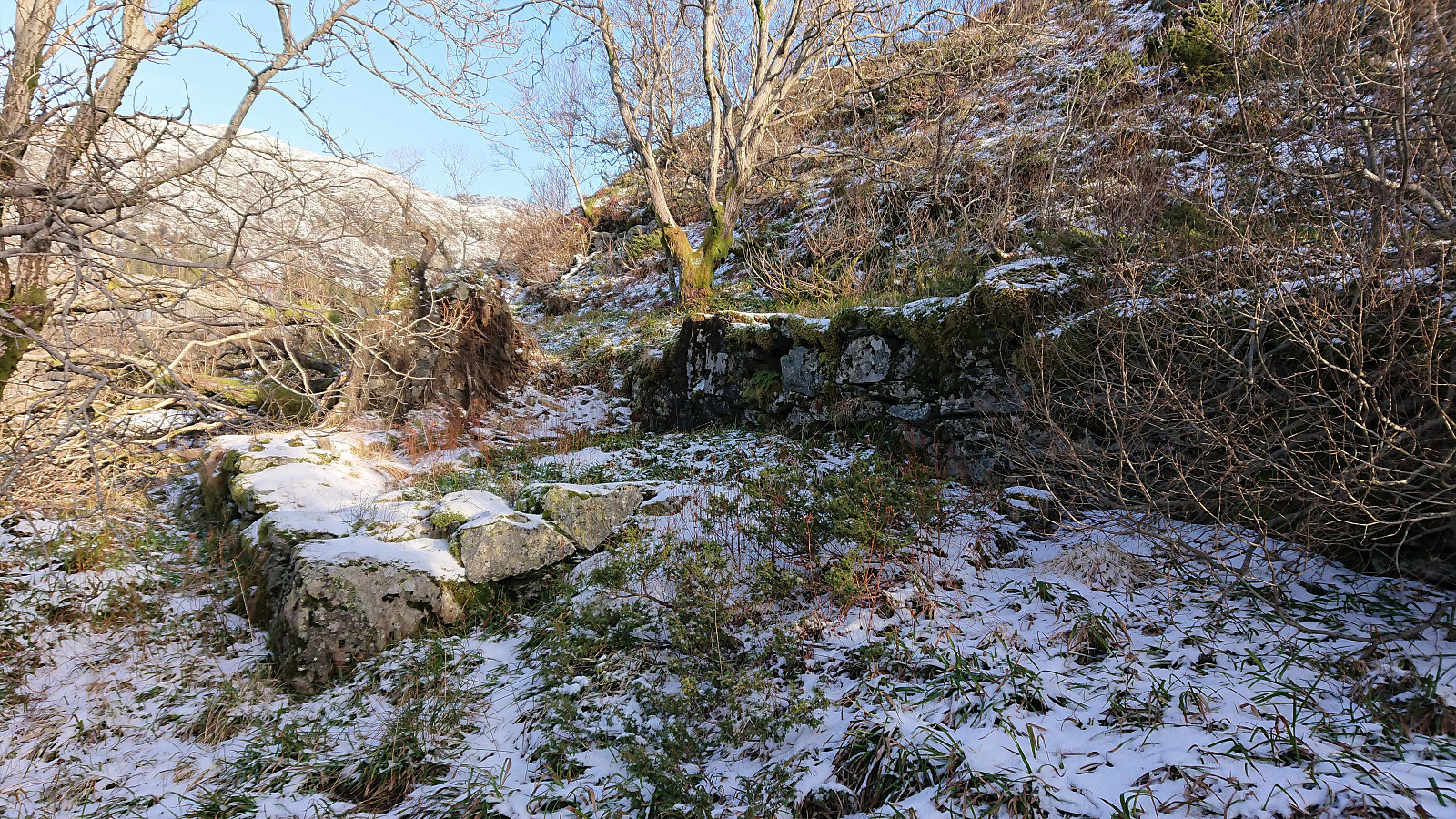
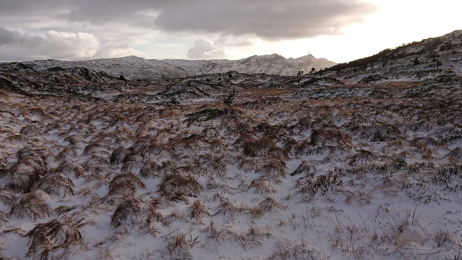
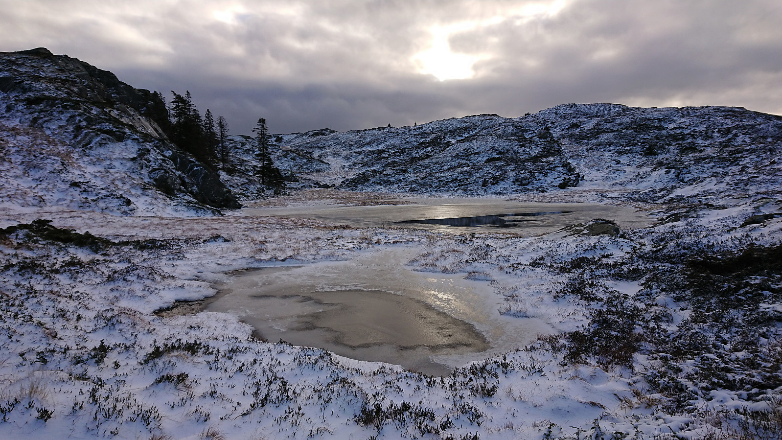
So, with this rather limited information, we set out from Svartediket to inspect the first potential location in the area south of Tarlebøvatnet. Here we got optimistic early on when coming across some unknown ruins and what appeared to be an old road east of the gravel road just before getting to the large dam. However, none of the ruins matched the picture and neither did the terrain in the background. Before heading to Rundemanen we also briefly continued on the trail towards Såtene, but we as far as we could tell the mountains north of Tarlebøvatnet do not match the picture either.
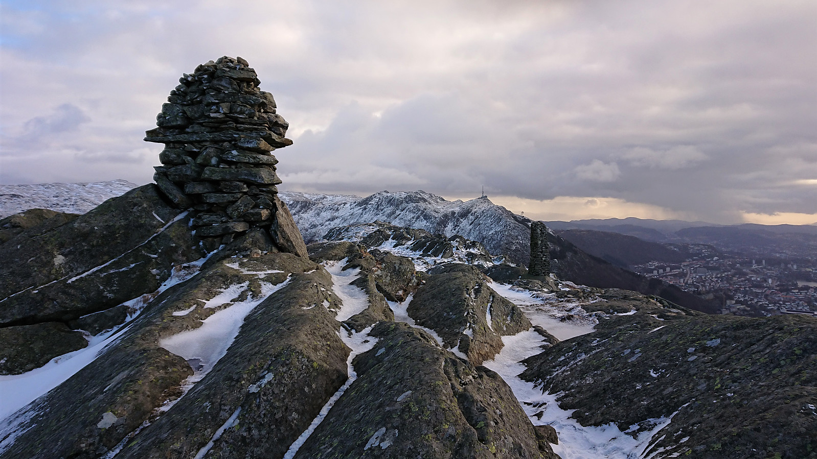
After passing Rundemanen, we descended via Blåmanen Vest to check if there were any suitable locations there, but without any success. We therefore gave up, at least for today, and followed the gravel roads home.
Whether it will actually be possible to locate this 120-year-old cabin ruin remains to be seen. Perhaps there is simply not enough information to go on..?
| Start date | 30.01.2022 11:20 (UTC+01:00) |
| End date | 30.01.2022 16:41 (UTC+01:00) |
| Total Time | 5h 20min |
| Moving Time | 4h 44min |
| Stopped Time | 0h 36min |
| Overall Average | 3.3km/h |
| Moving Average | 3.8km/h |
| Distance | 17.9km |
| Vertical meters | 851m |


User comments
Hytten
Written by Syvfjell 04.11.2023 19:54Denne prøvde jeg å finne i lang tid også – men husk: Ikke alt der står X på, faktisk er X. Hadde man i det minste vært sikkert på at det var Rundemanen...
Ruinene ved Tarlebødemningen er rester etter brakker, kjøkken osv. i forbindelse med arbeidet der oppe. Det er også murt (gjengrodd) vei m. m. På stien opp til såtene er det også steinbrudd.
Når det kommer til Rundemanen / Blåmanen / Langeli og Hardbakkadalen er jeg rimelig trygg på at jeg har kartlagt og registrert det som tidligere ikke har vært registrert, men gjenstår altså den hytten du var ute etter, og en hytte som nevnes (ikke i egen artikkel) i BF 1 et sted på Blåmanen.