
Lauvtonipa from Storevatnet (19.12.2021)

Escrito por hbar (Harald Barsnes)

| punto de partida | Storevatnet E39 (340msnm) |
|---|---|
| Punto final | Storevatnet E39 (340msnm) |
| Tipo de excursión | Senderismo de montaña |
| Duración | 4h 16min |
| Distancia | 12.4km |
| Metros verticales | 874m |
| GPS |
|
| Ascensos | Lauvtonipa (723msnm) | 19.12.2021 |
|---|---|---|
| Otros PBEs visitados | Smørdalssetret (548msnm) | 19.12.2021 |
Lauvtonipa from Storevatnet
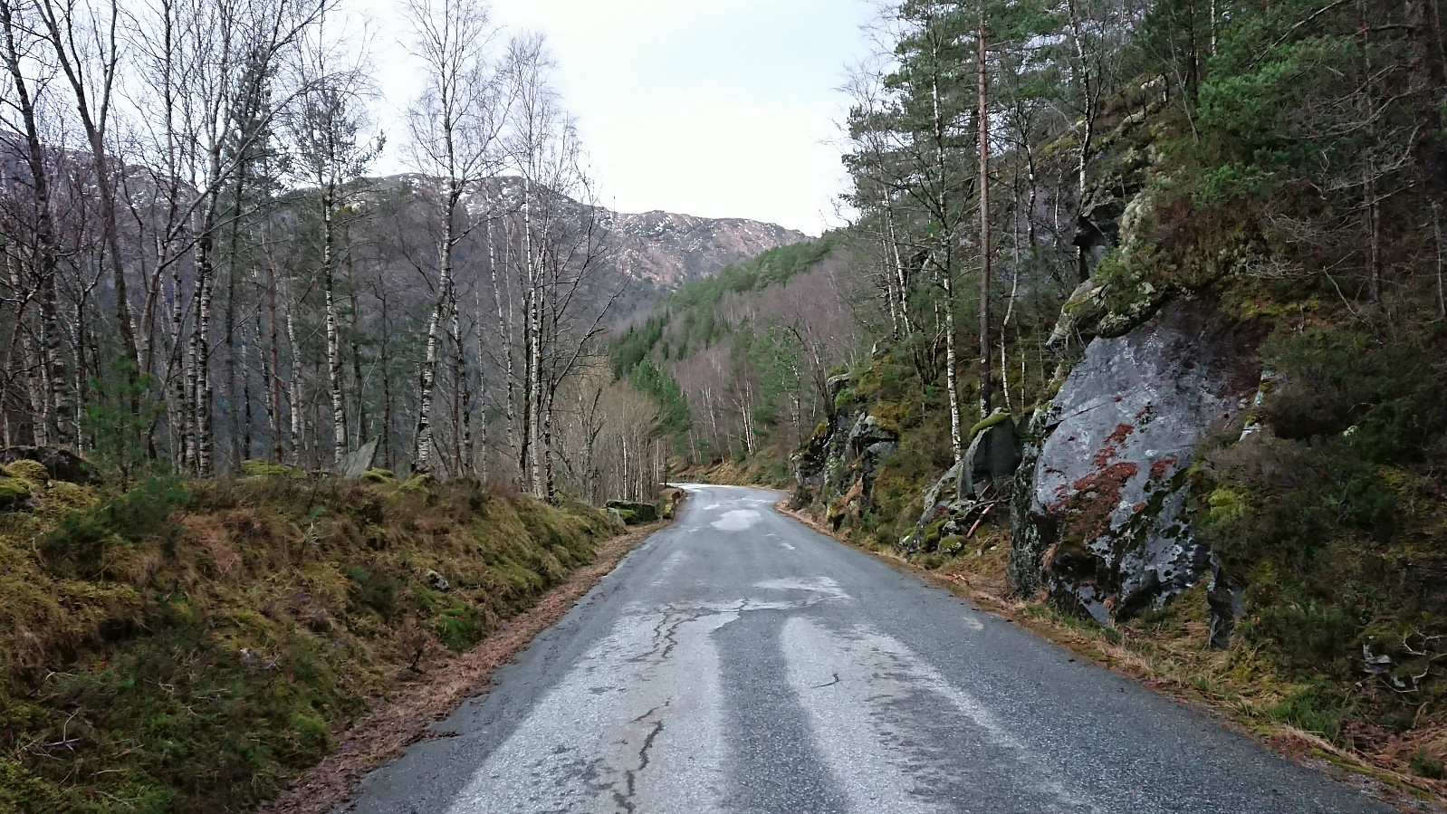
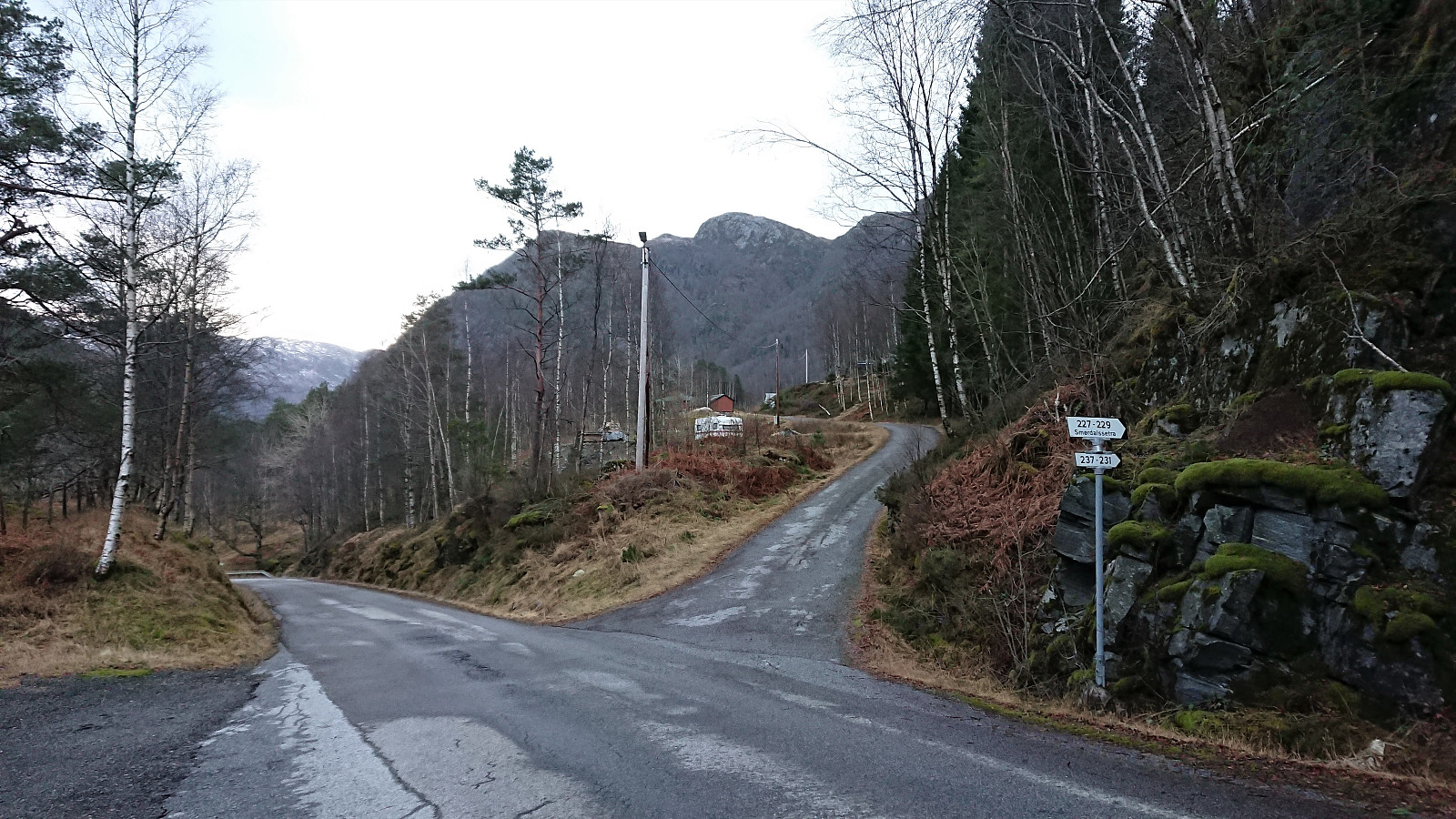
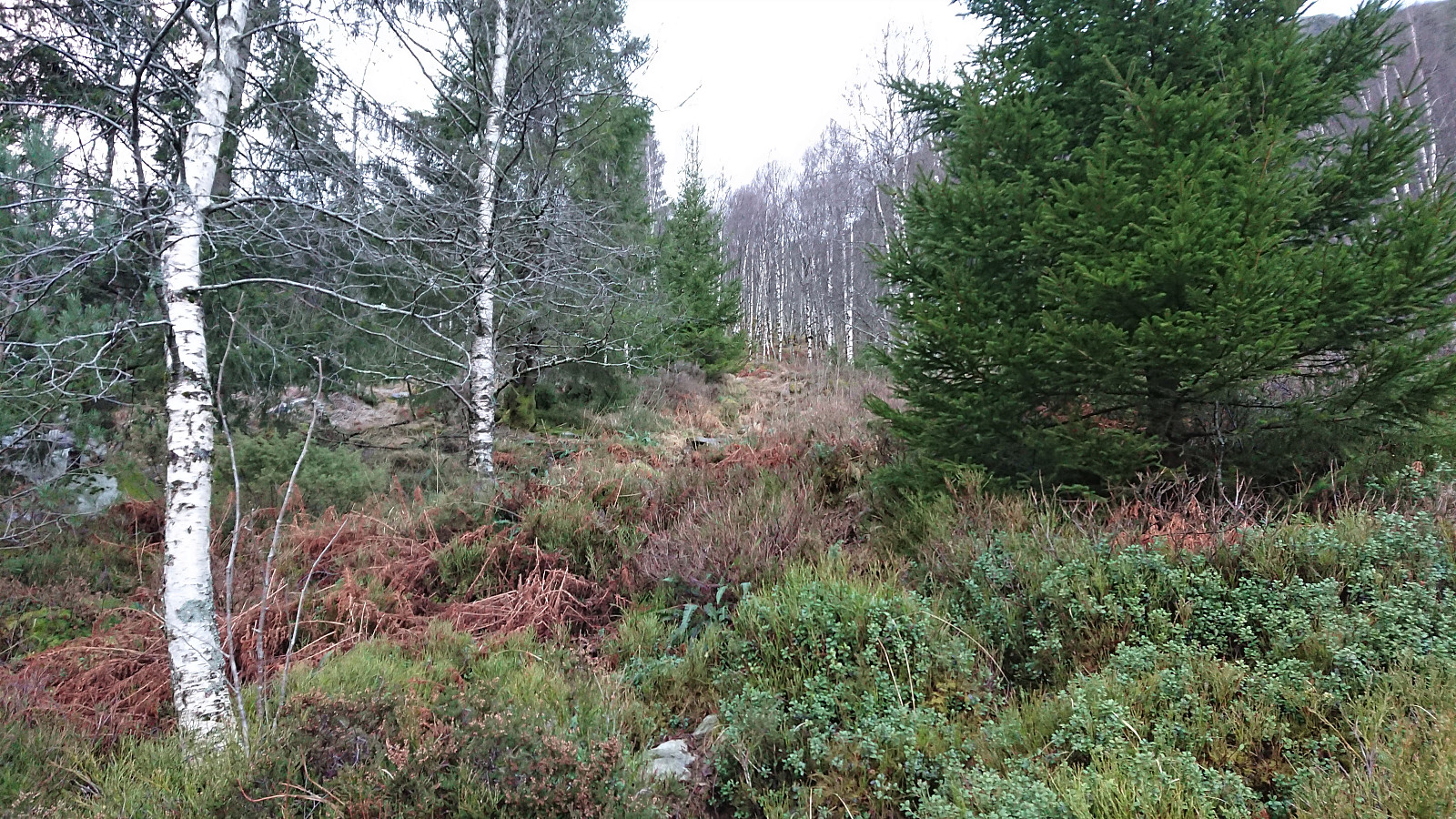
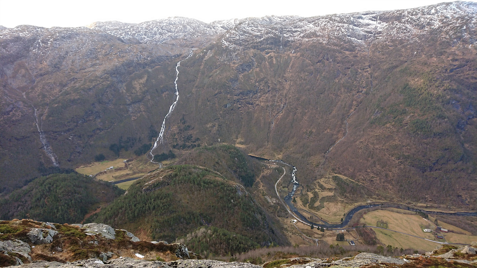
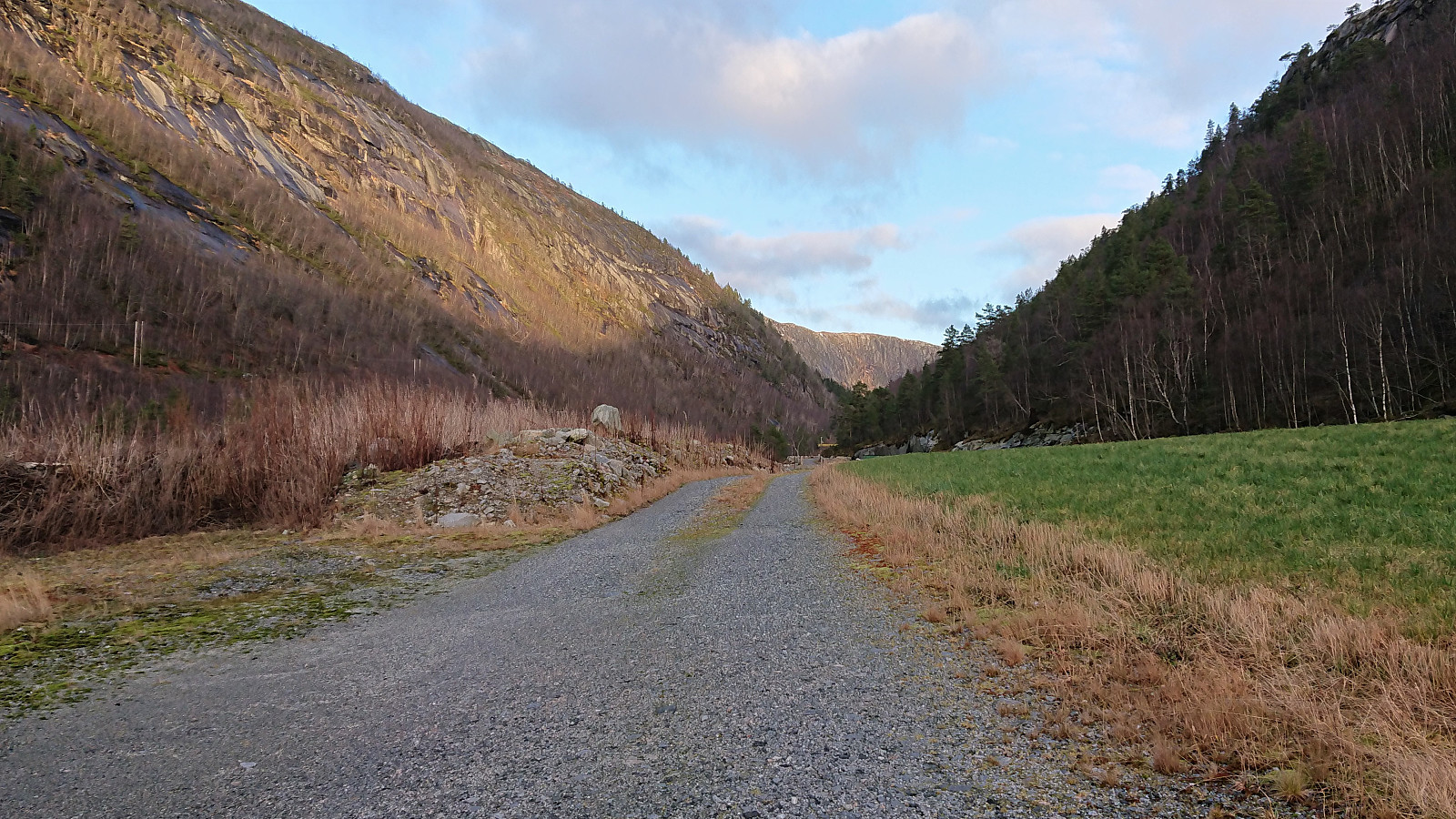
Another return to Masfjorden and Storevatnet (and the bus stop called Nedre Storavatn), but this time walking west along the road towards Haugsdal with the goal being a visit of Lauvtonipa. After about 3.5 km on the road, I arrived at Bjørnekletten where I from previous trip reports knew that there should be a trail that could take me up to the valley between Lauvtonipa and Furhogen. The trailhead was unmarked, but, again thanks to previous trip reports, it could be easily located.
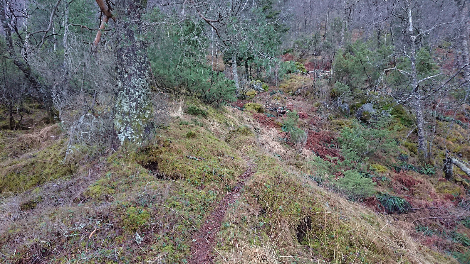
The trail started out rather weak and wet, but this soon improved and later on the trail could overall be followed without any real problems. Note that the trail is most likely harder to spot at other times of the year though, i.e. when it is covered tall grasses and ferns, as it is clearly not a very frequently used trail. However, there were several old stone steps indicating that this had not always been the case.
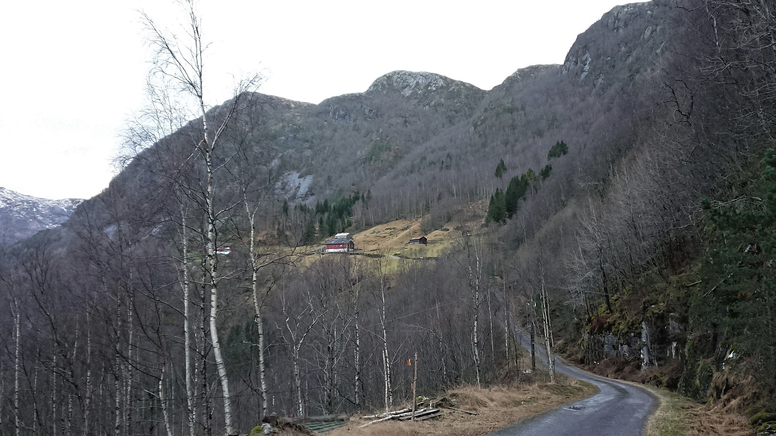
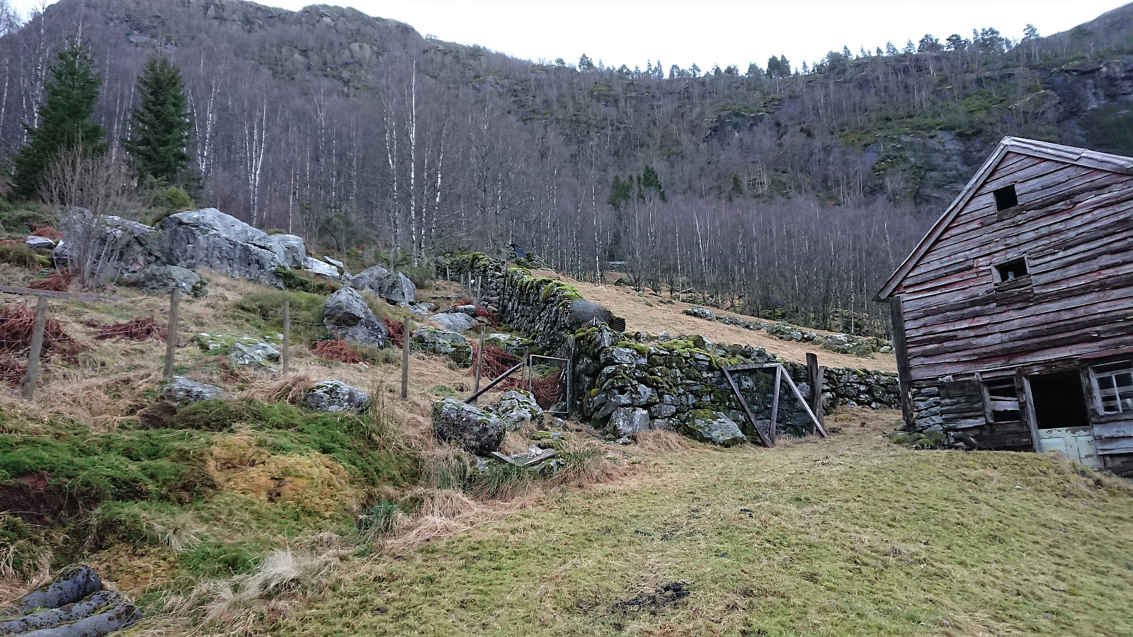
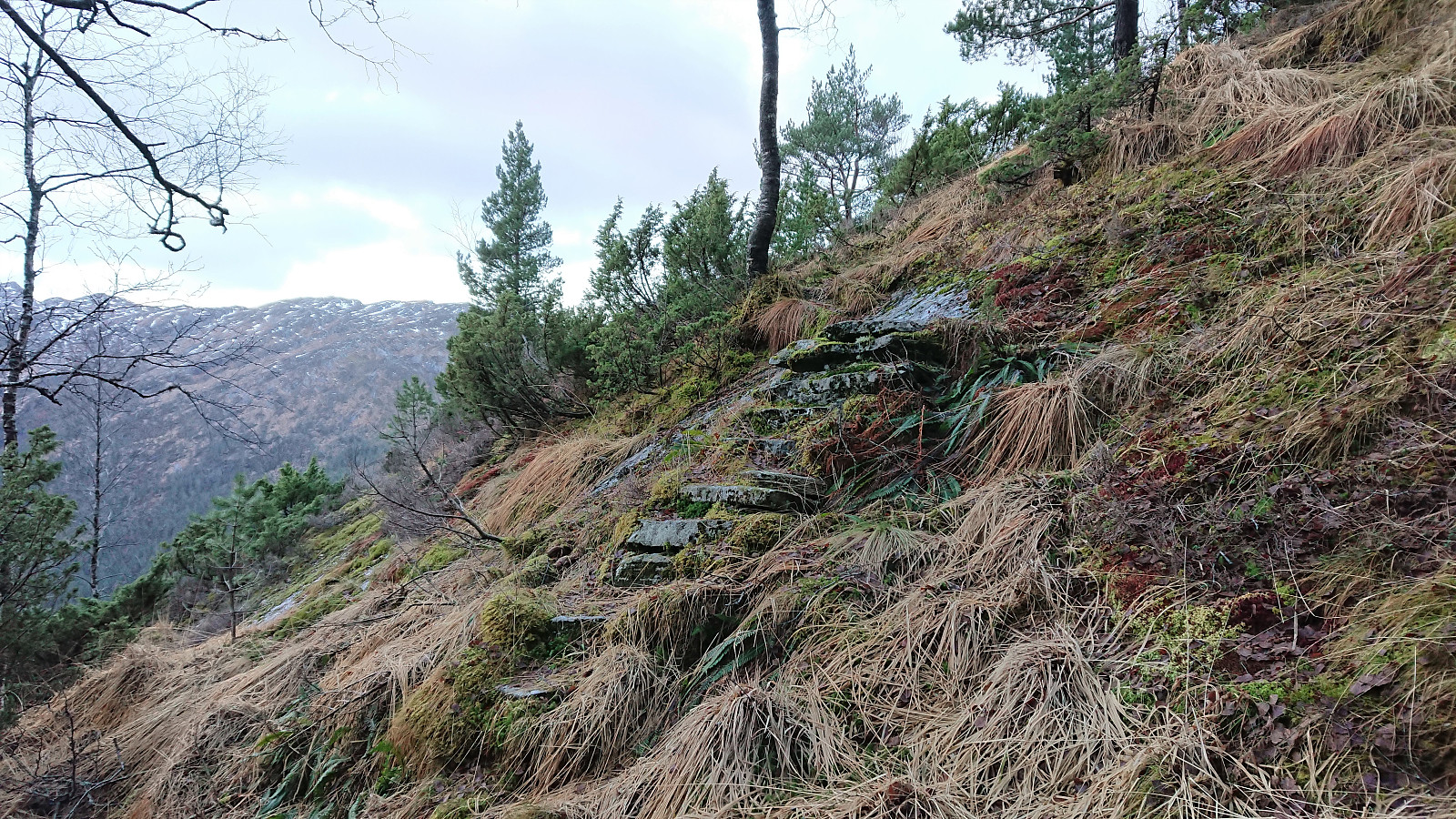
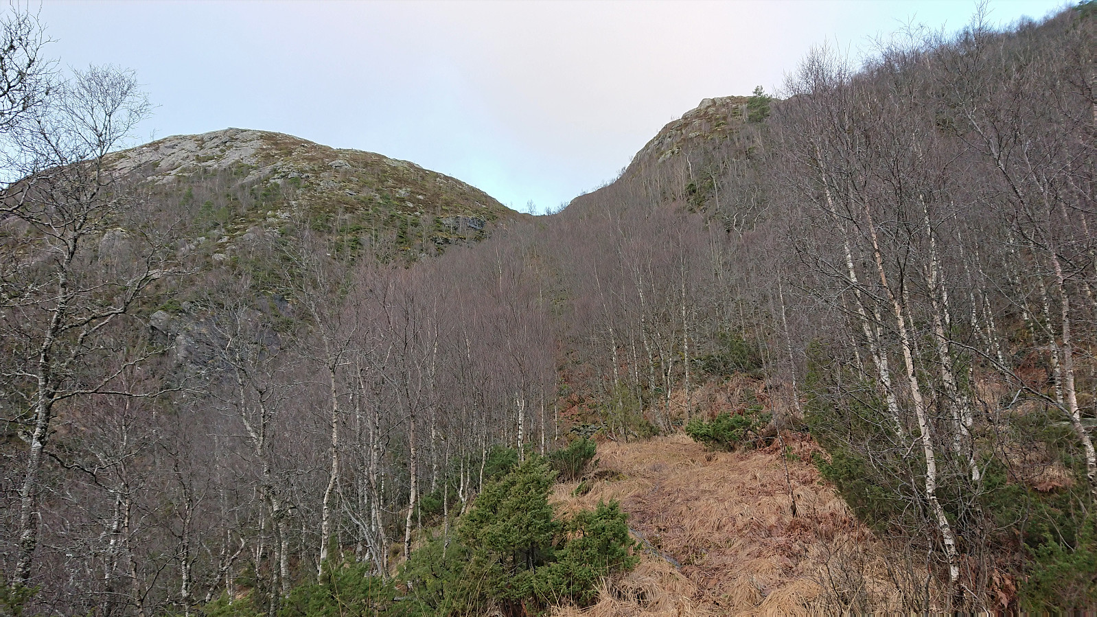
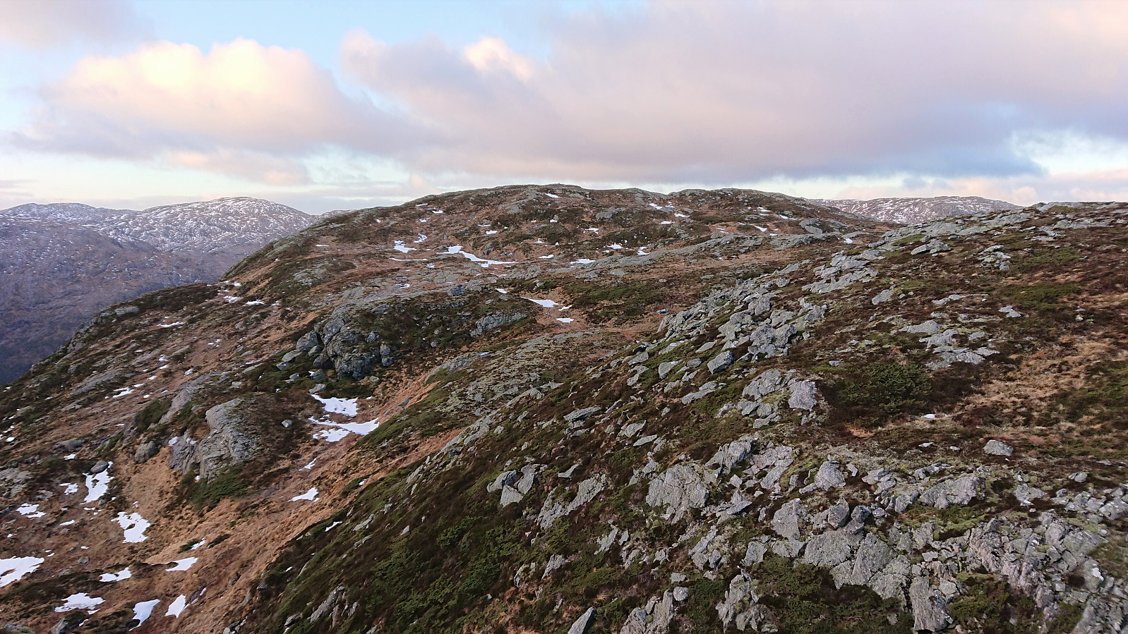
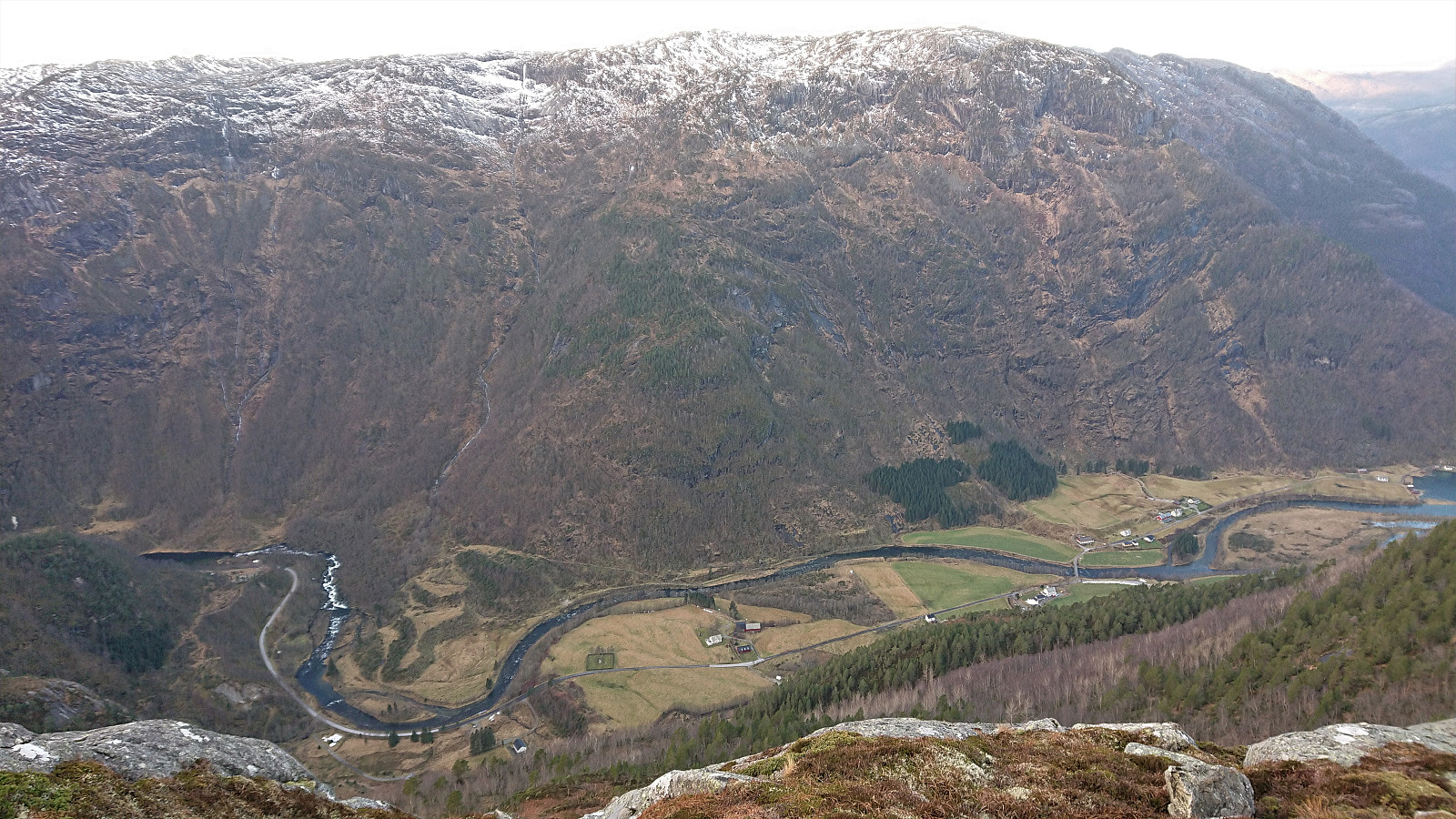
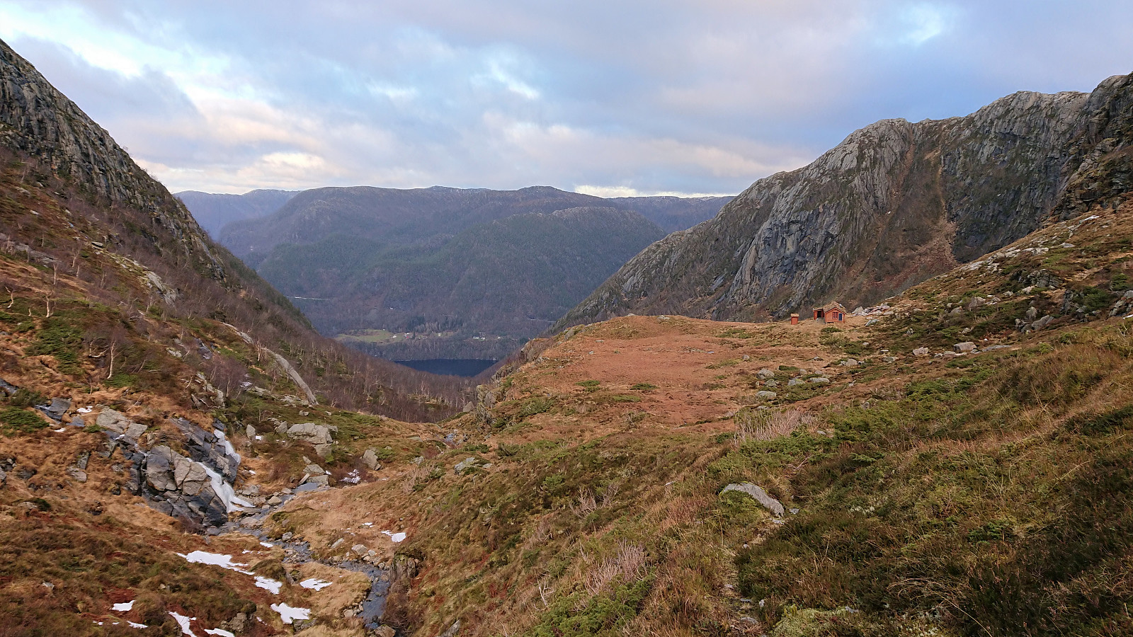
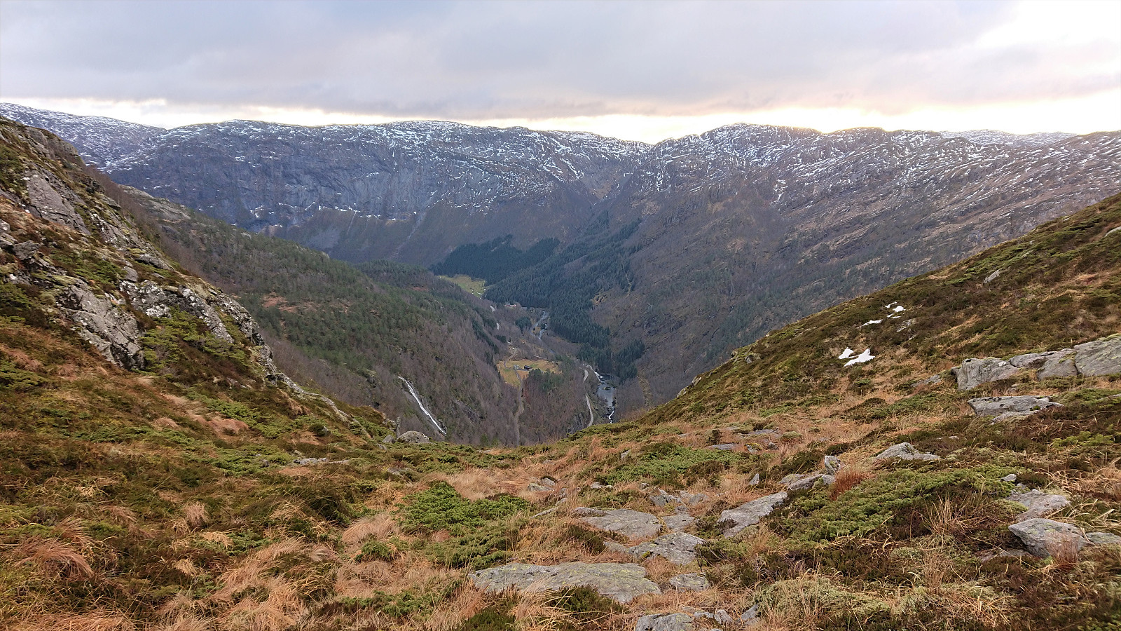
After winding its way up to the top of the pass, the trail continued north to Smørdalssetret as the terrain levelled off, and as far as I could tell there were no trails heading for Lauvtonipa. Due to a largely failed attempt at staying out of the cold wind from the north, I first made a minor detour before later heading directly off-trail towards the summit. My attempt at sheltering from the wind resulted in a bit more up and down that was really needed though. See the return route for a slightly better option.
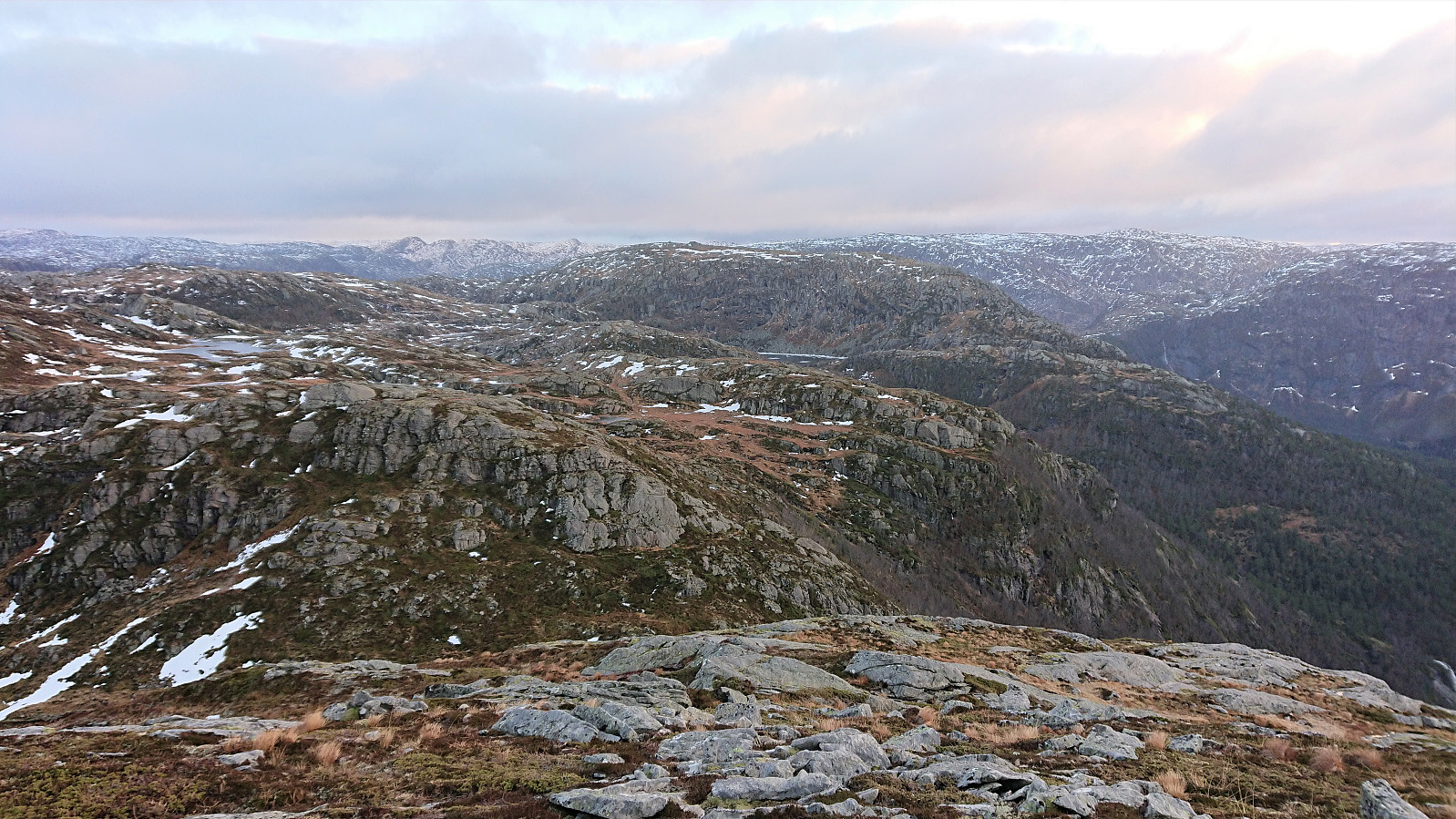
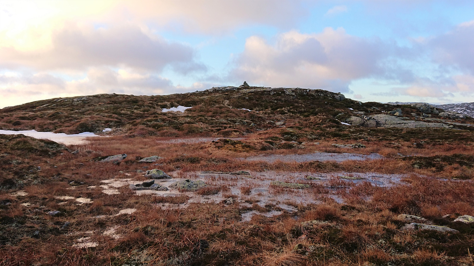
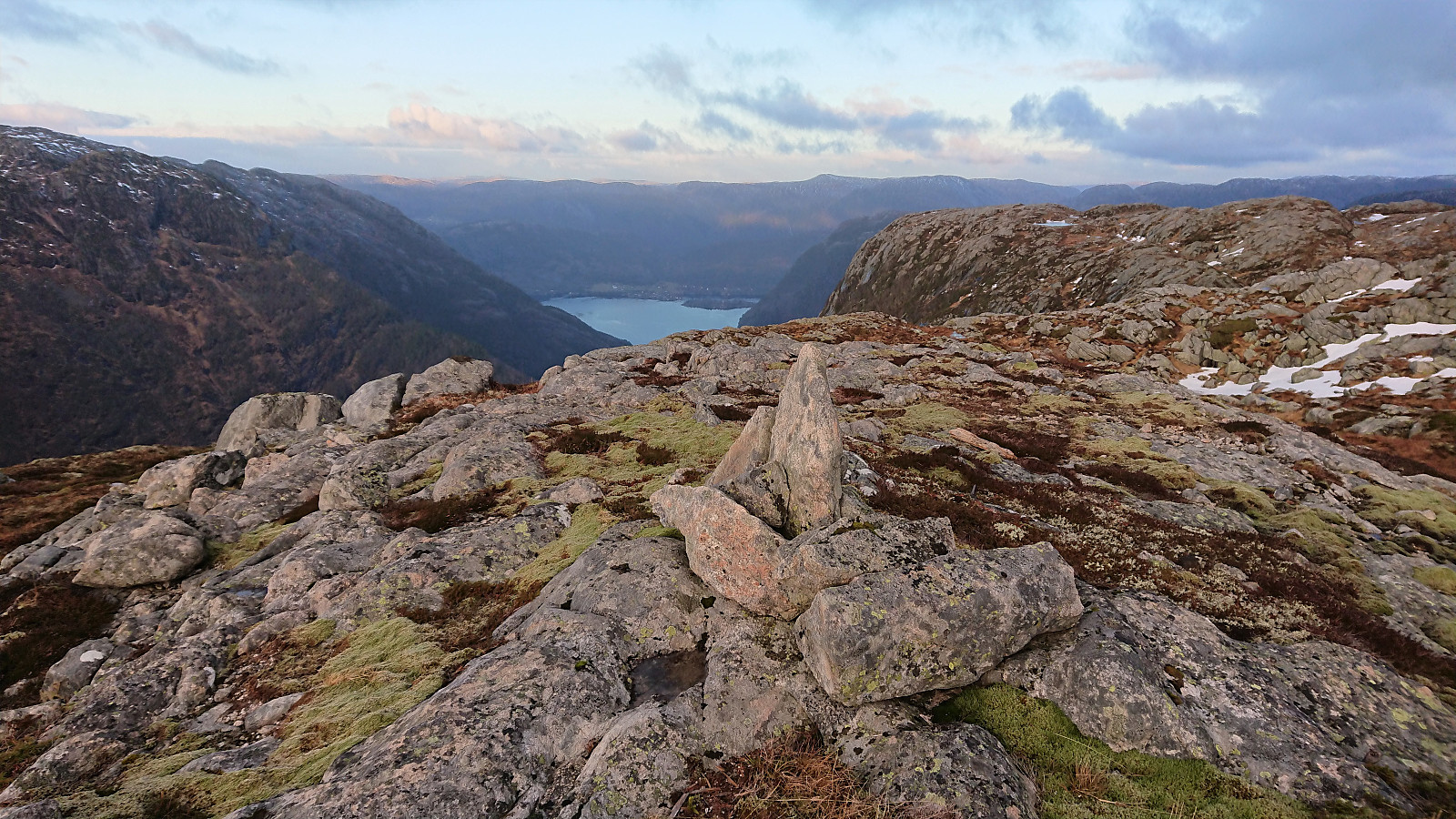
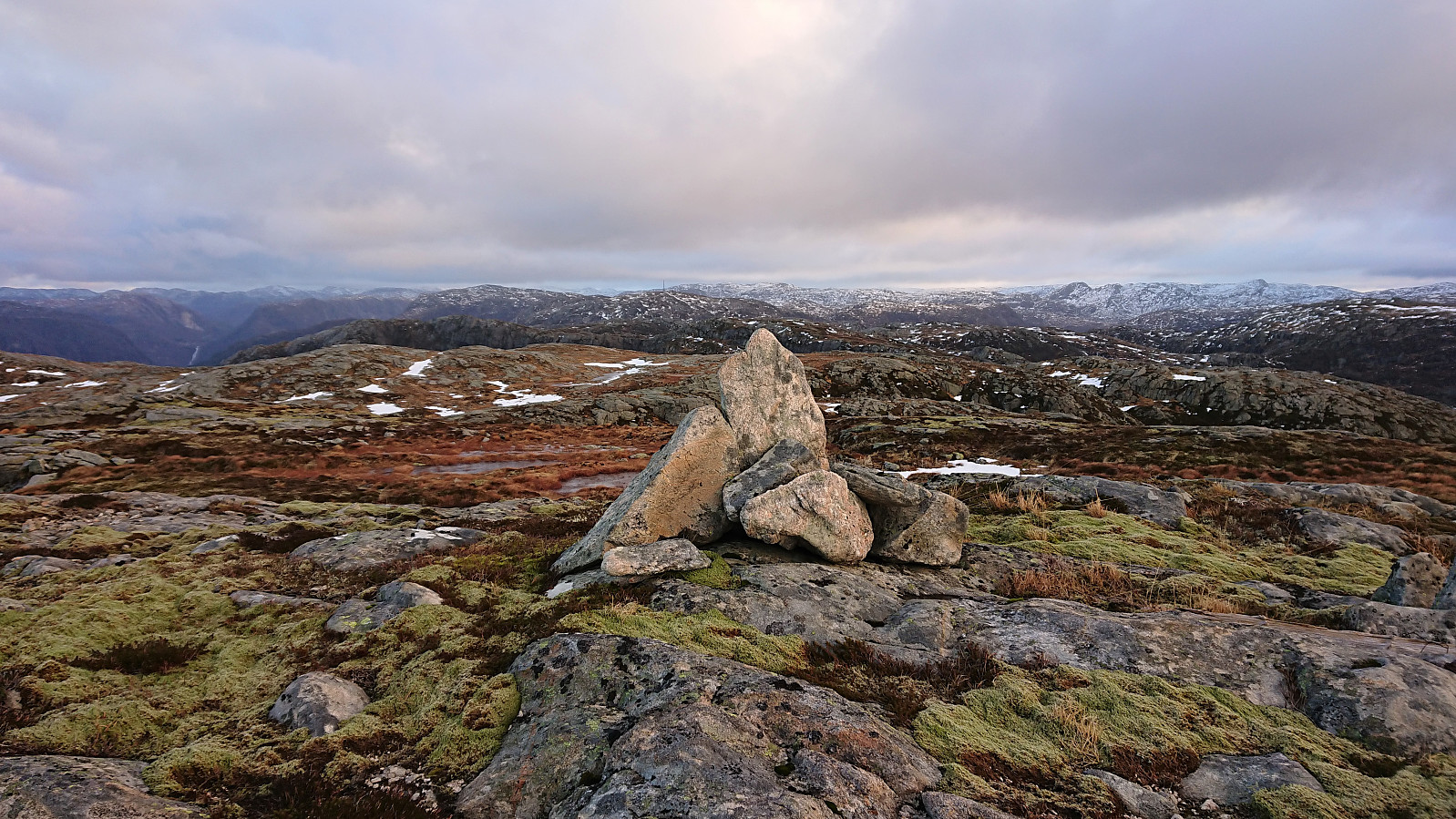
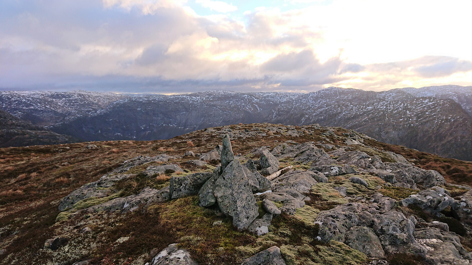
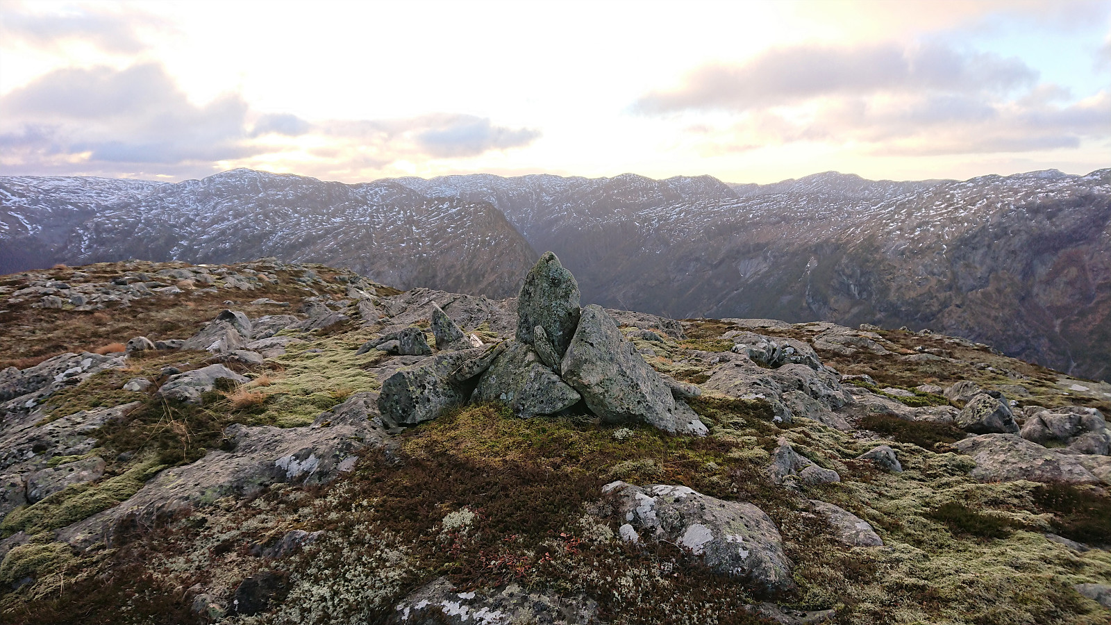
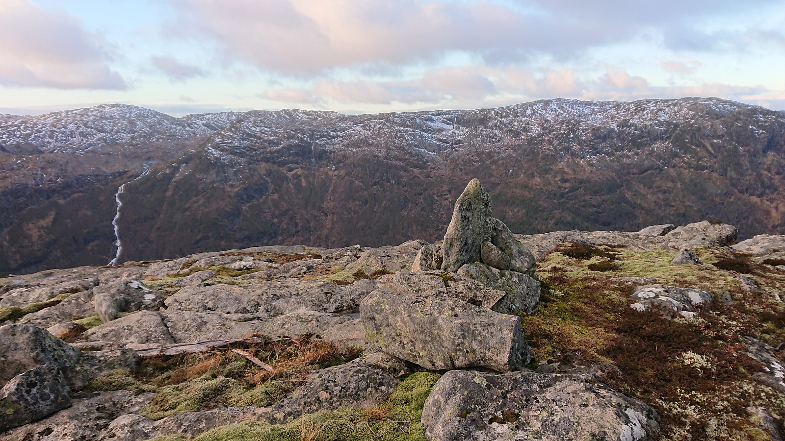
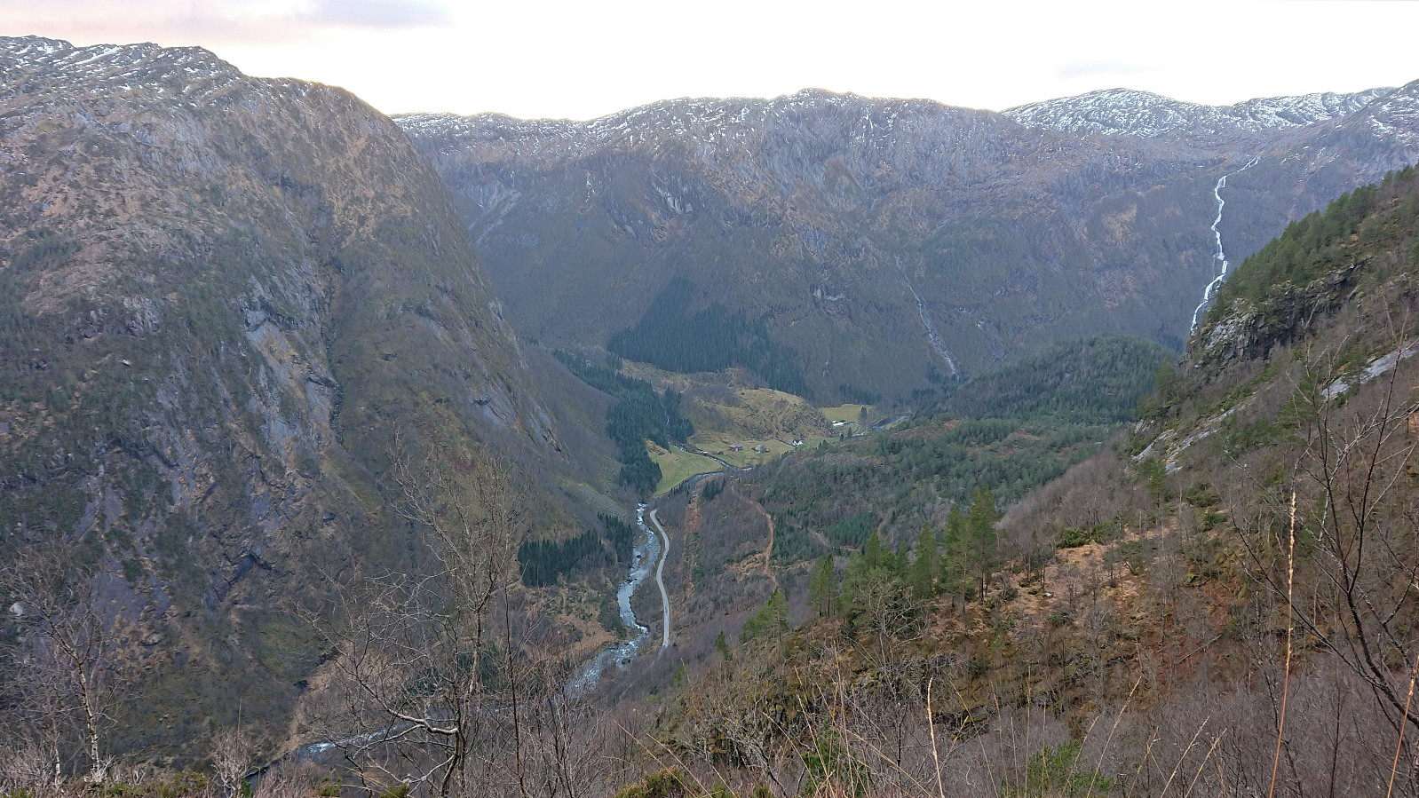
In the end, the summit was reached without any difficulties and provided excellent views in all directions, especially towards Solheim to the north/northwest and steeply down to Haugsdal. The latter views where even better when moving slightly west or north from the summit itself. Due to the cold wind, I postponed the lunch break I had planned at the summit. I did however wait around for a couple of minutes in the hope that the sun would come out from behind the clouds. Which it sadly refused to do.
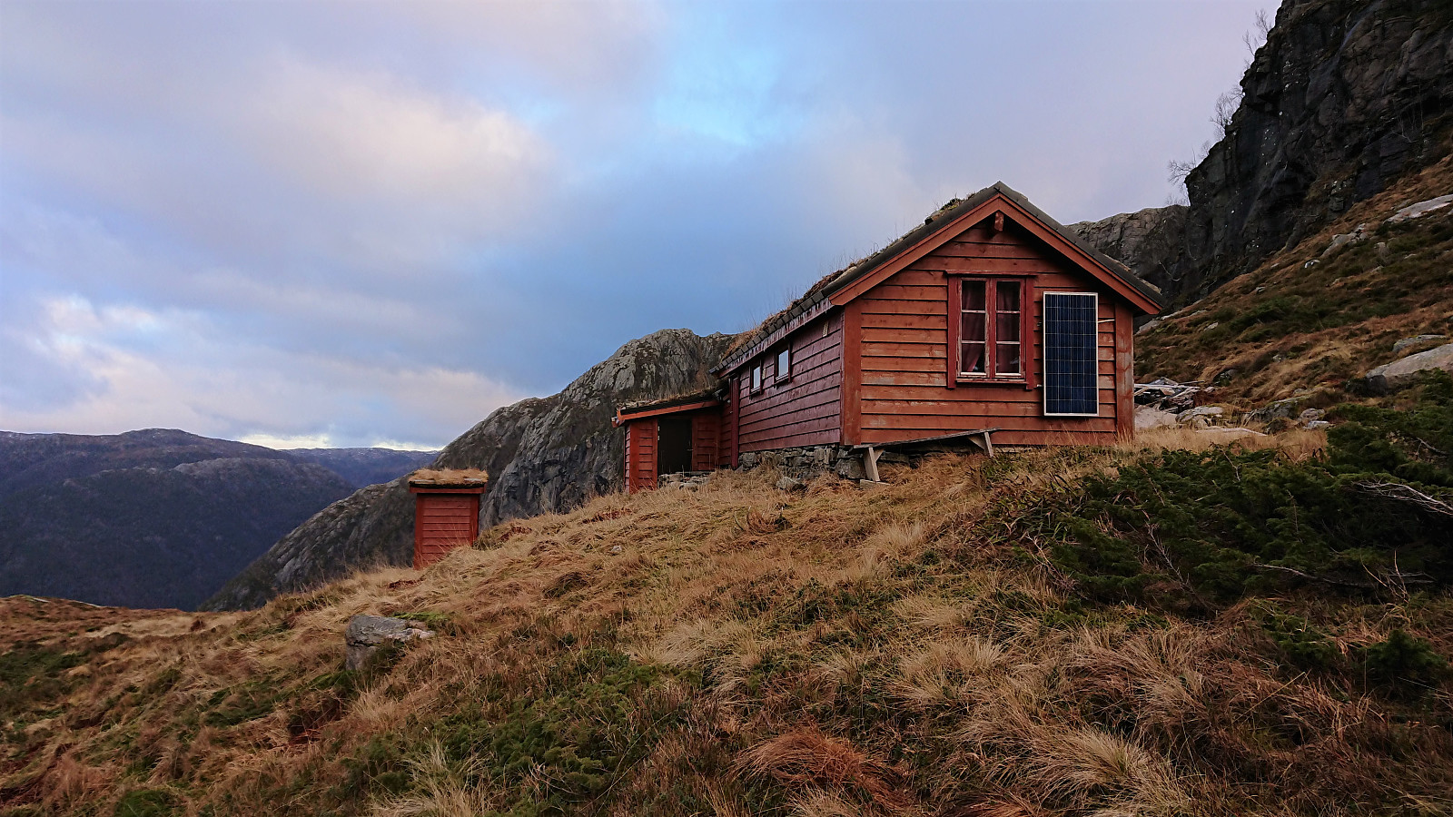
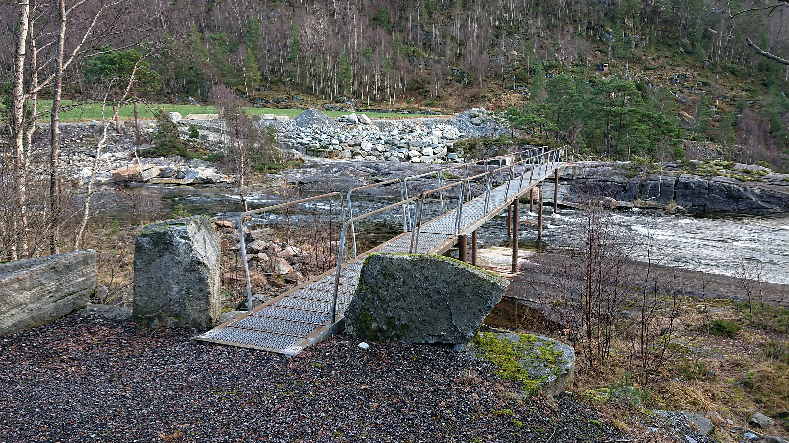
I descended along more or less the same route, however I decided to also include a minor detour to Smørdalssetret as I was pretty close and had plenty of time before the return bus to Bergen. Towards the end, I also made a second detour/shortcut by crossing a small bridge and following a gravel road on the opposite side of the river for the final stretch back to the bus stop, which I arrived at with around 15 minutes to spare.
In summary, a very nice hike with excellent views that can be highly recommended.
| Hora de partida | 19.12.2021 09:20 (UTC+01:00) |
| Hora punto final | 19.12.2021 13:37 (UTC+01:00) |
| Tiempo total | 4h 16min |
| Tiempo en movimiento | 3h 49min |
| Tiempo de descanso | 0h 27min |
| Velocidad promedio en total | 2.9km/h |
| Tiempo en movimiento promedio | 3.2km/h |
| Distancia | 12.4km |
| Metros verticales | 873m |


Comentarios
Thank you...
Escrito por HHauser 19.12.2021 22:38... for sharing, Harald! Some nice photos, also, including (at least) one that included the waterfall which you passed a little earlier, this year, with non-trivial challenges! You're doing them all in Masfjorden, right?! :-) Respect and thanks (for the nice hike report -- there are really valuable, I think)!
Re: Thank you...
Escrito por hbar 20.12.2021 13:10Thanks! As you can see I'm trying to make the most out of these shorter days at the end of the year. Hence the many trips to Masfjorden lately. :)