
Five small hills north of Myrdalsvatnet (05.12.2021)

Written by hbar (Harald Barsnes)

| Start point | Kirkebirkeland (123m) |
|---|---|
| Endpoint | Nesttun terminal (16m) |
| Characteristic | Hillwalk |
| Duration | 3h 36min |
| Distance | 12.3km |
| Vertical meters | 376m |
| GPS |
|
| Ascents | Barkahaugane (159m) | 05.12.2021 |
|---|---|---|
| Fjellet (142m) | 05.12.2021 | |
| Kattuglefjellet (134m) | 05.12.2021 | |
| Kattuglehaugane (188m) | 05.12.2021 | |
| Limesbrotet (183m) | 05.12.2021 | |
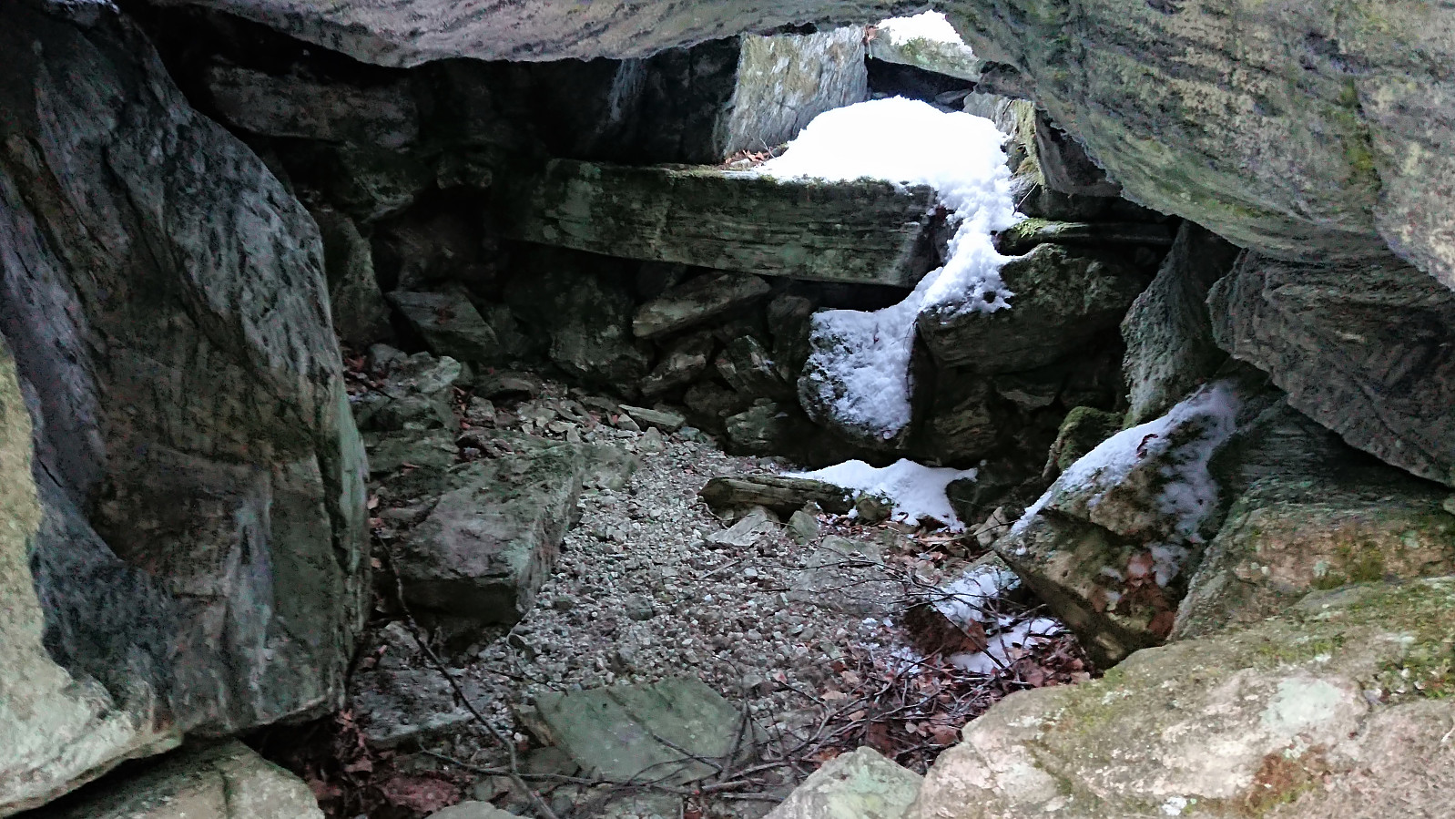
| Visits of other PBEs | Johnsahytta (ruin) (138m) | 05.12.2021 |
| Myrdal Våpenlager (115m) | 05.12.2021 | |
| Myrdal parkering (80m) | 05.12.2021 |
Five small hills north of Myrdalsvatnet
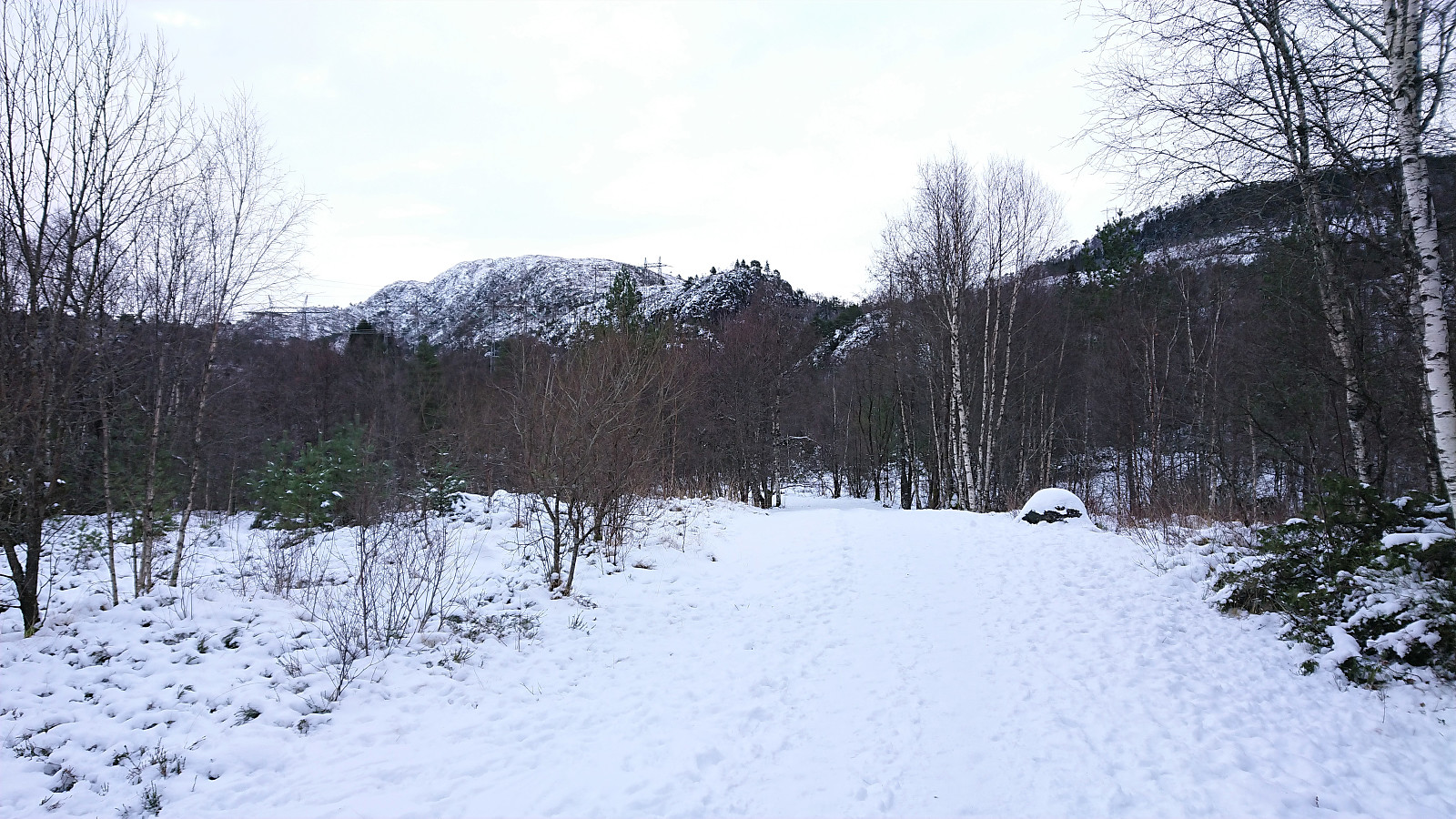
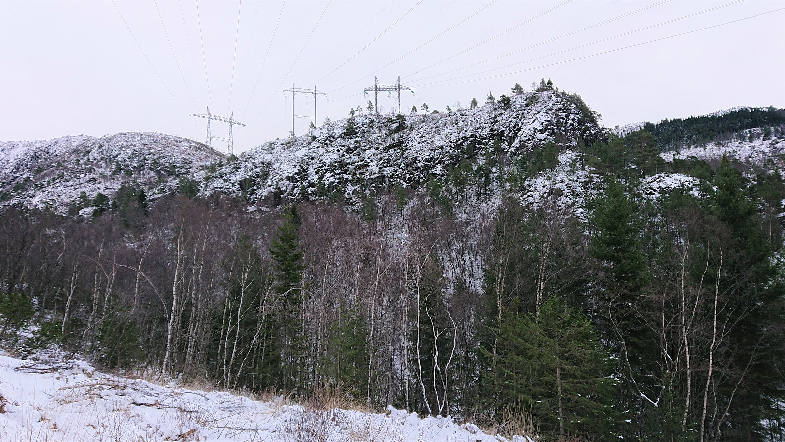
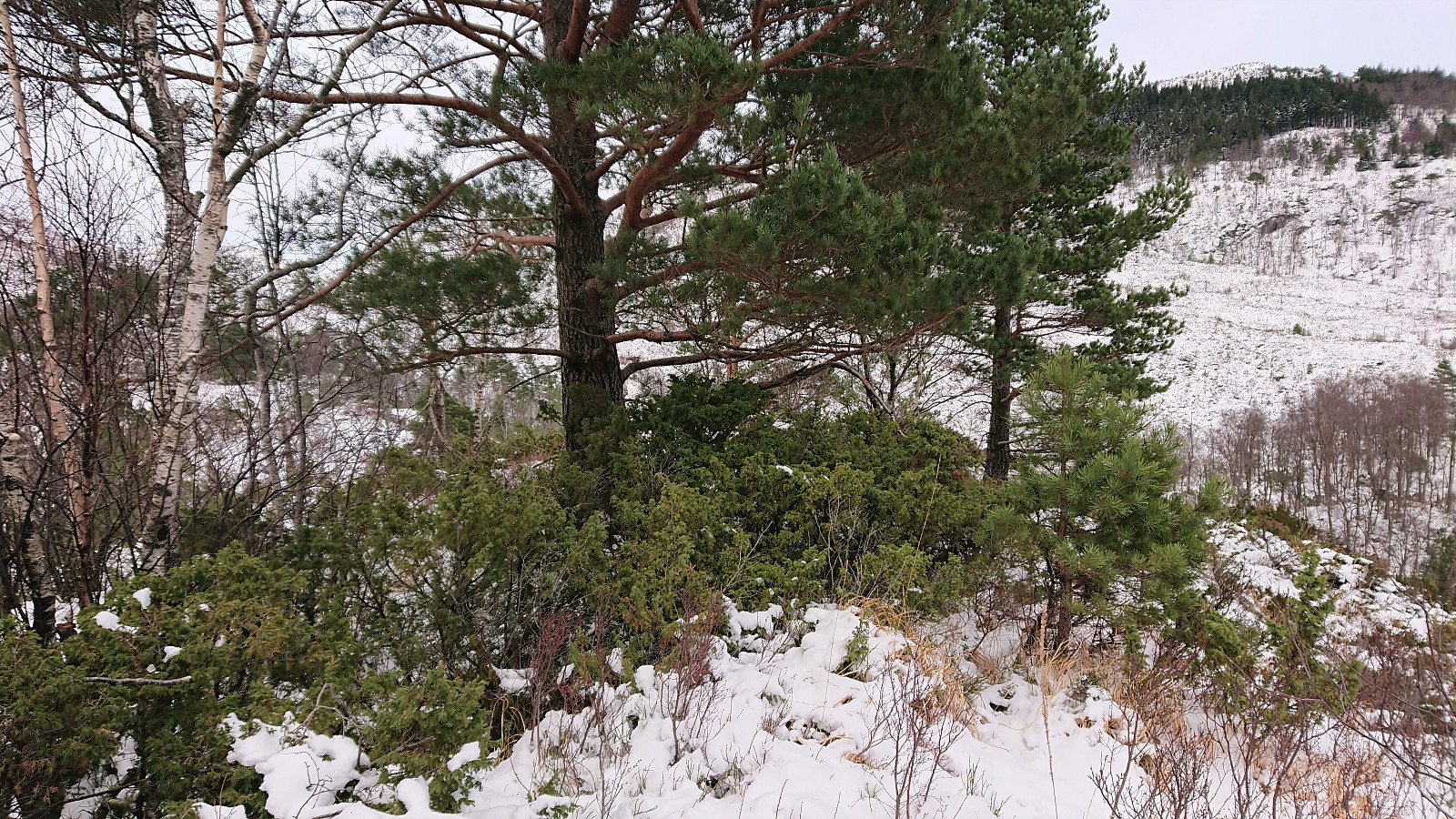
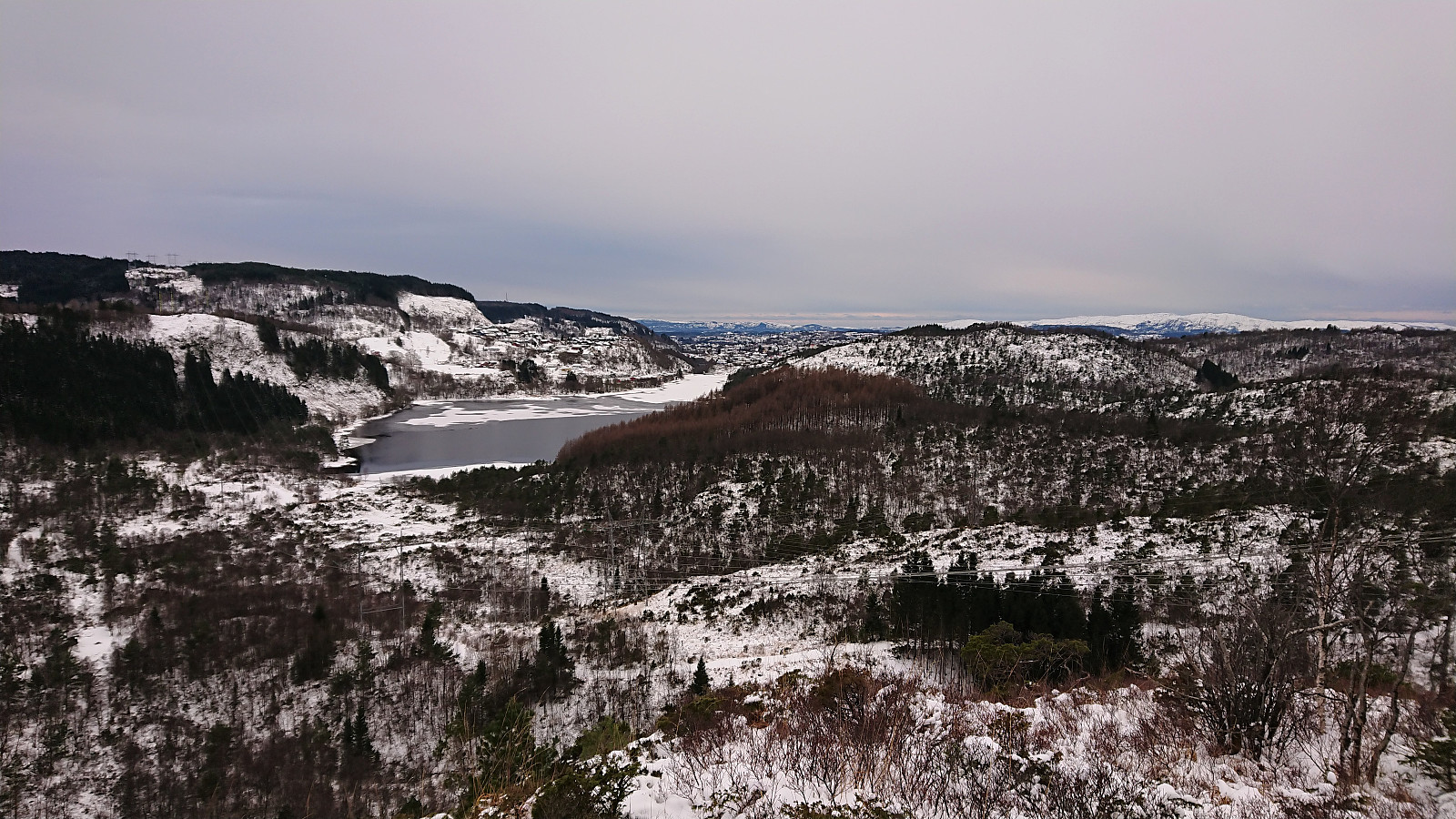
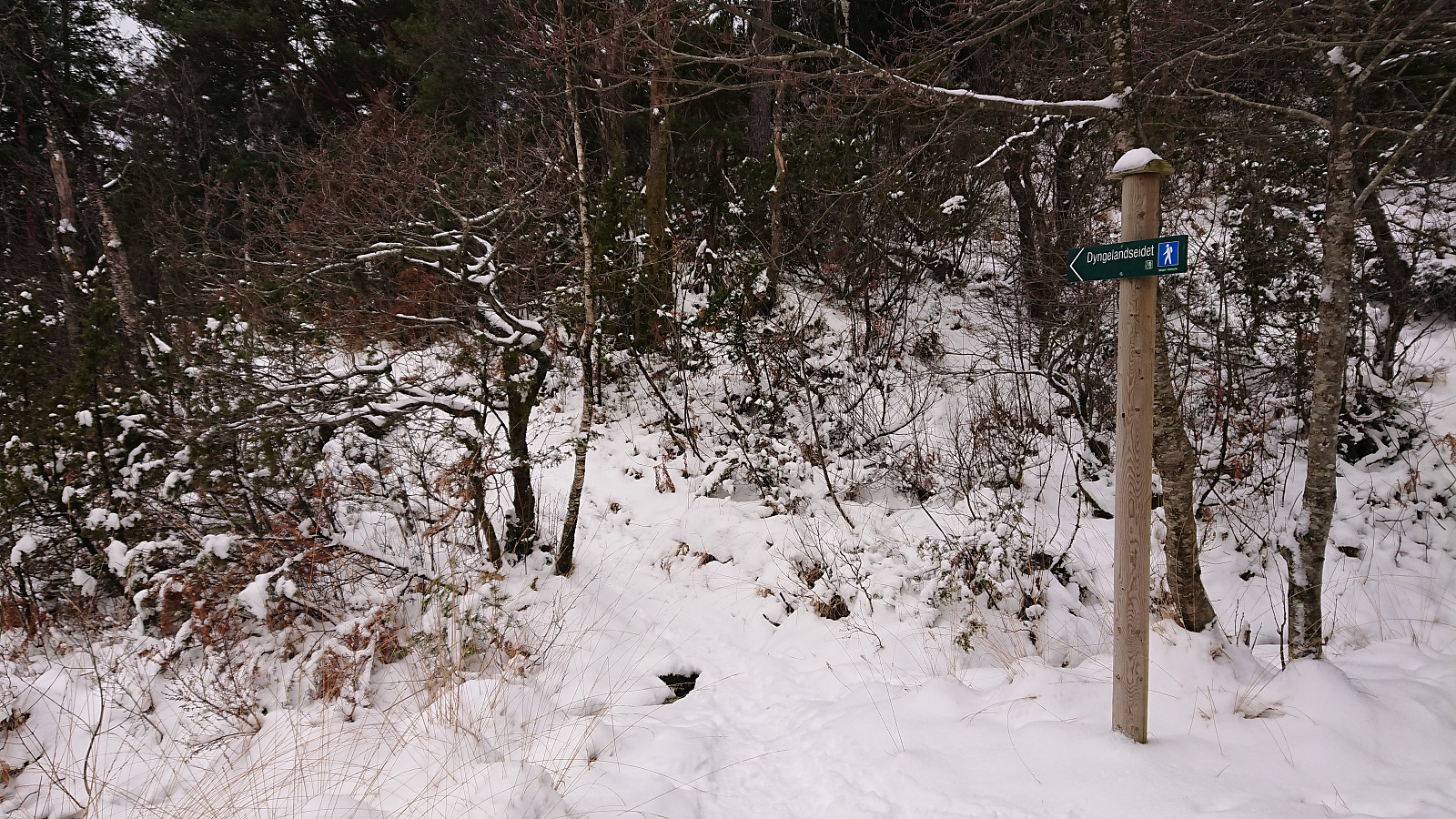
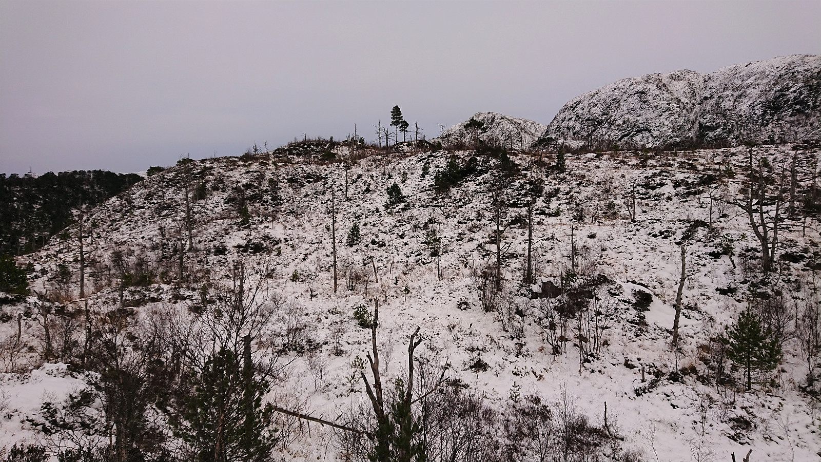
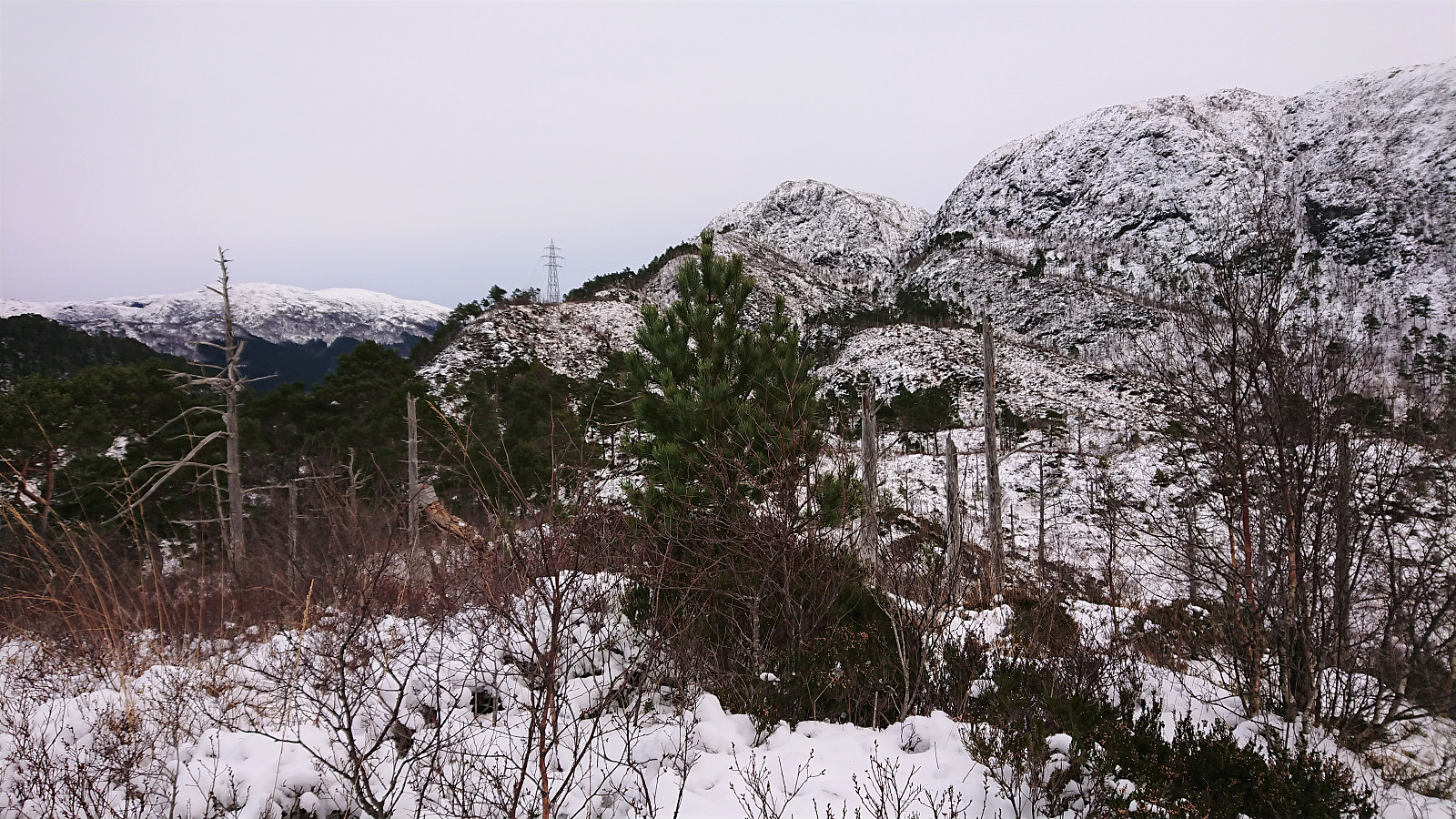
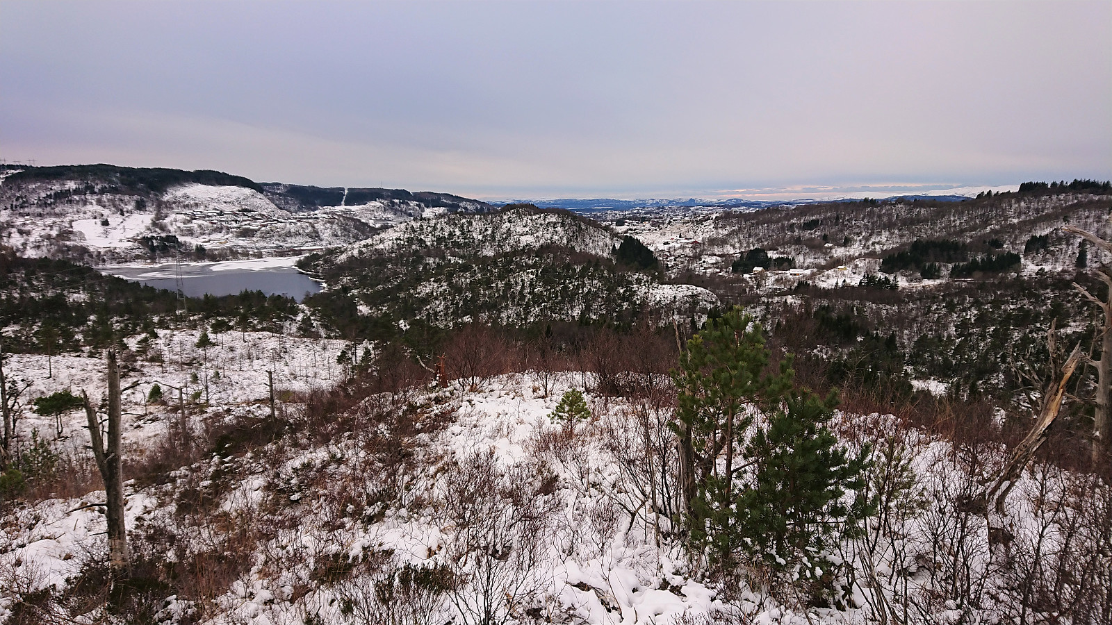
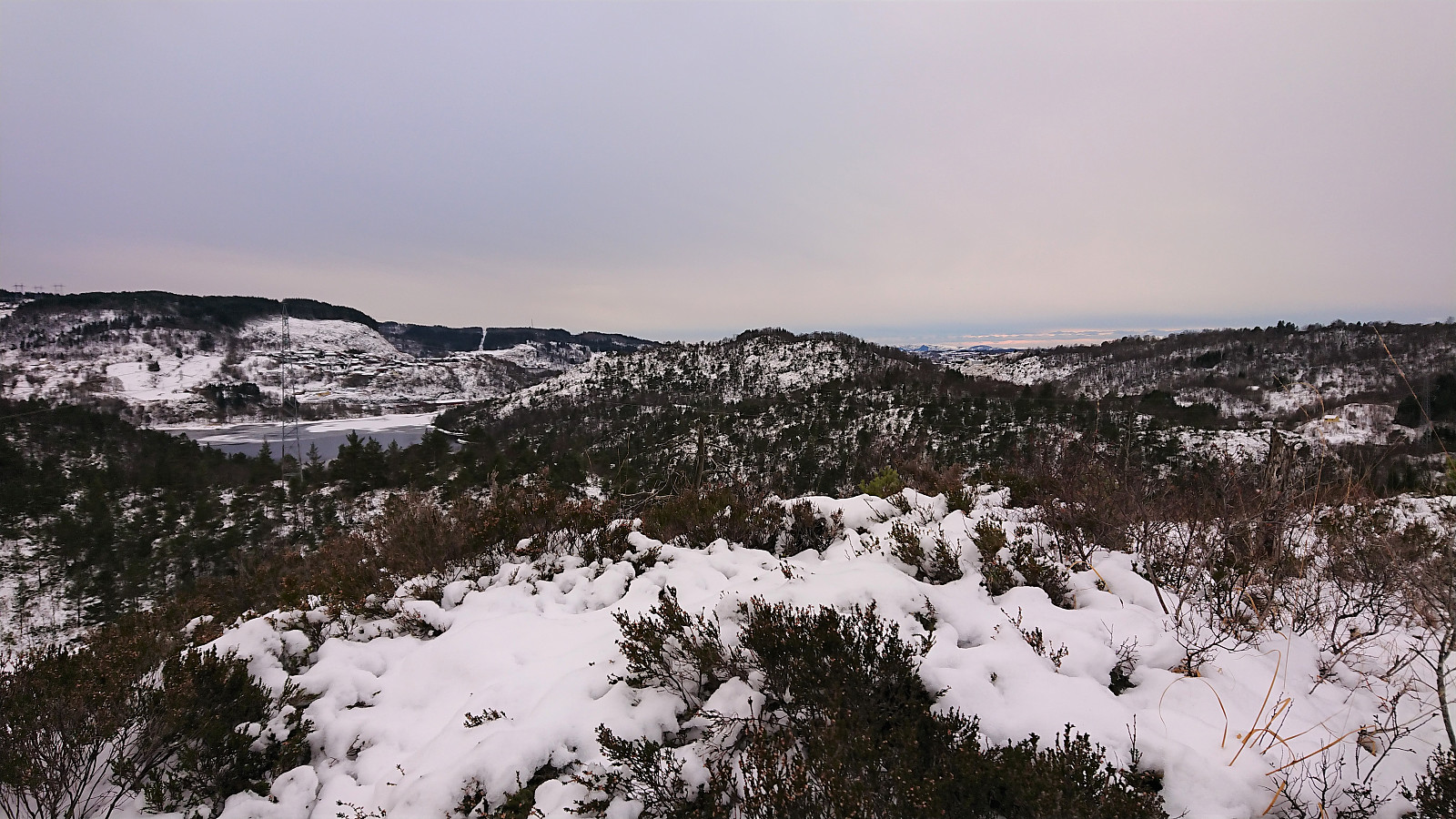
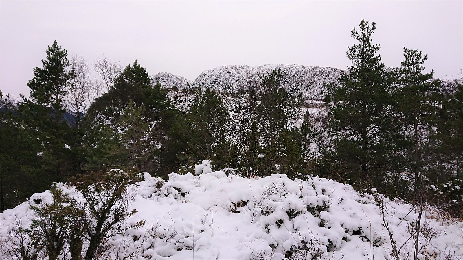
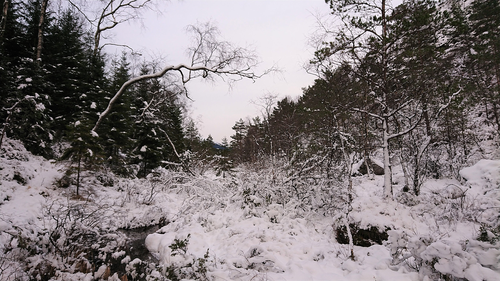
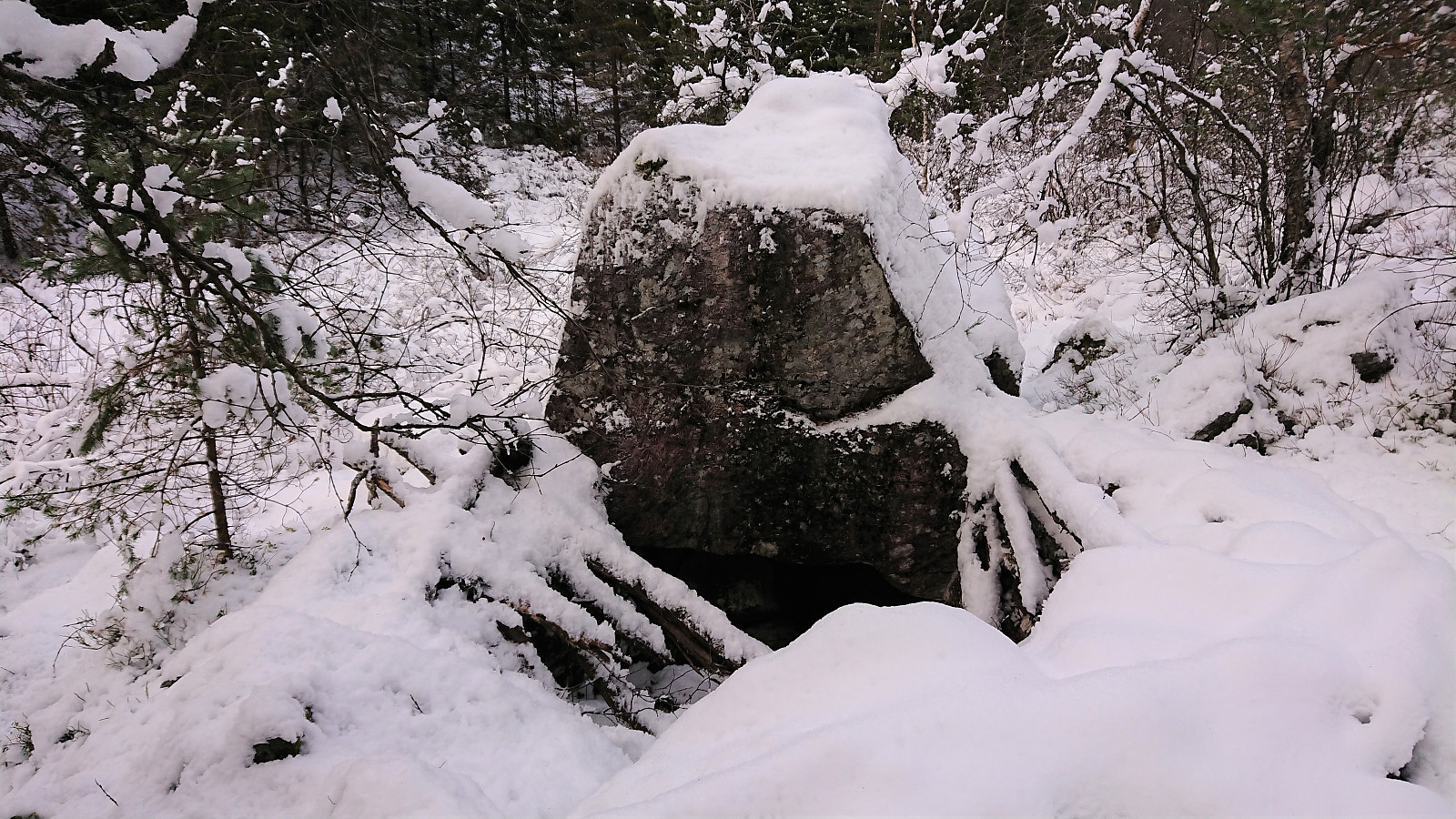
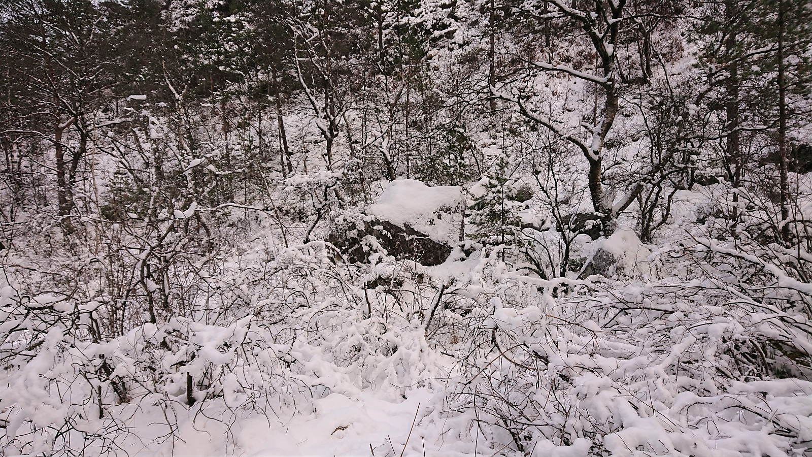
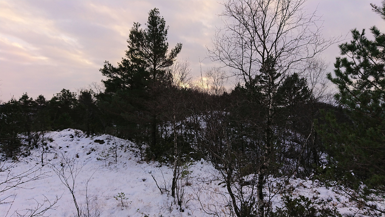
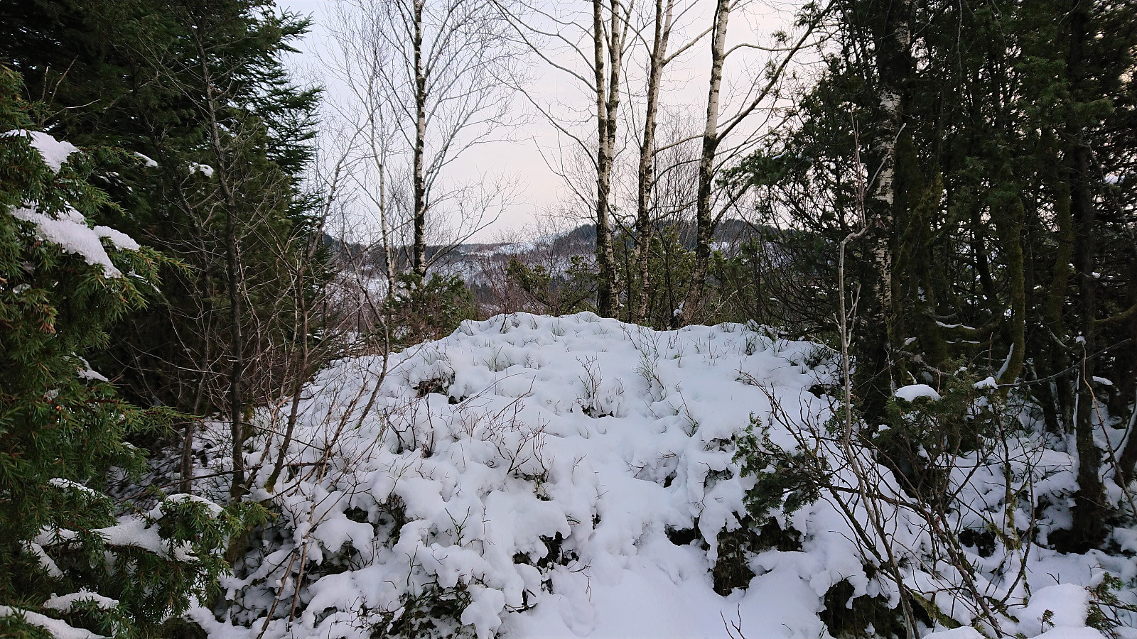
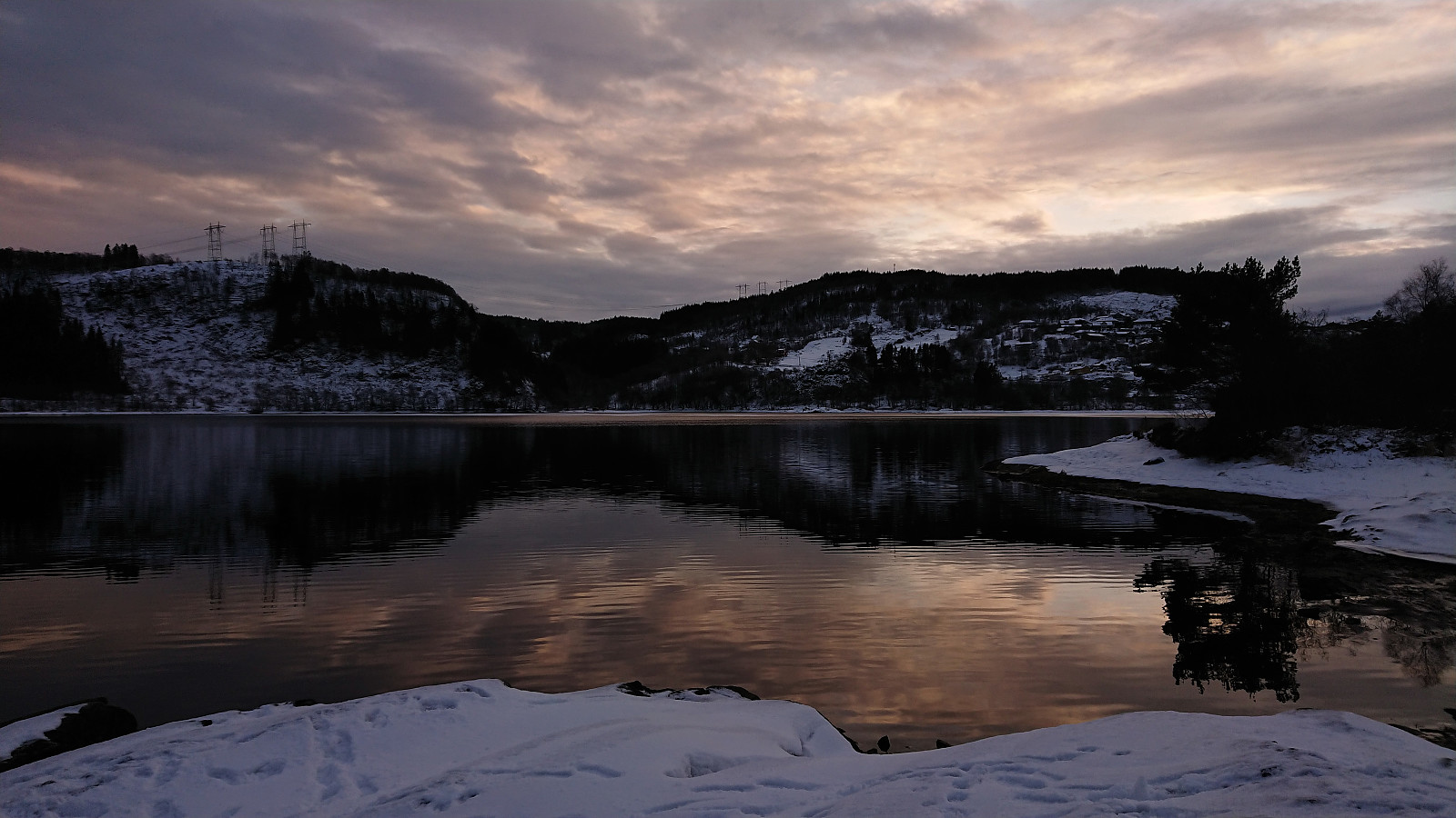
A return to Myrdalsvatnet for a visit of the five remaining small hills to the north. Nice views from Limesbrotet and Kattuglehaugane/Barkahaugane, which could all be reached fairly easily. Kattuglefjellet and Fjellet on the other hand had limited views and lots of vegetation to fight with. It was probably a good choice to visit all of these summits in the winter time. I also passed by the remains of Johnsahytta and made a short detour to Myrdal Våpenlager. Overall, not the most exiting hike but still ok. Pretty sure these will be my only visits to all of the summits involved though.

| Start date | 05.12.2021 12:12 (UTC+01:00) |
| End date | 05.12.2021 15:48 (UTC+01:00) |
| Total Time | 3h 36min |
| Moving Time | 3h 25min |
| Stopped Time | 0h 11min |
| Overall Average | 3.4km/h |
| Moving Average | 3.6km/h |
| Distance | 12.3km |
| Vertical meters | 376m |


User comments