
Nonklettfjellet and Fjellet (21.11.2021)

Written by hbar (Harald Barsnes)

| Start point | Haugsvær sør (157m) |
|---|---|
| Endpoint | Haugsvær kryss (65m) |
| Characteristic | Hillwalk |
| Duration | 6h 47min |
| Distance | 13.0km |
| Vertical meters | 1,266m |
| GPS |
|
| Ascents | Fjellet (774m) | 21.11.2021 |
|---|---|---|
| Nonklettfjellet (612m) | 21.11.2021 | |
| Visits of other PBEs | Helsekvila (205m) | 21.11.2021 |
Nonklettfjellet and Fjellet
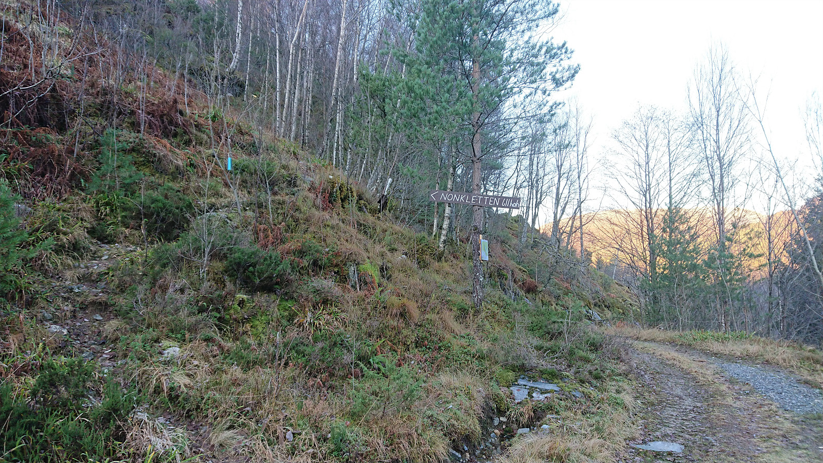
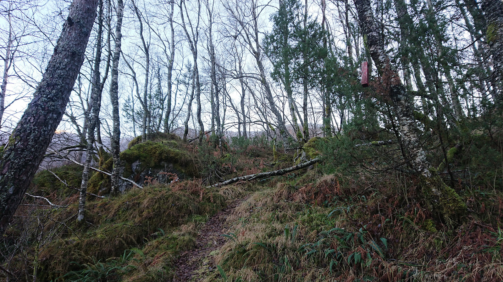
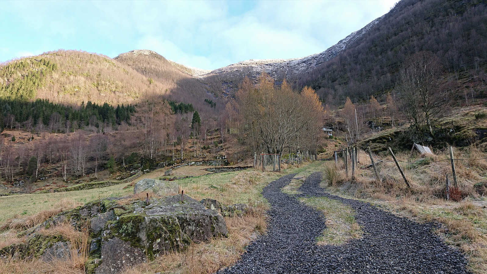
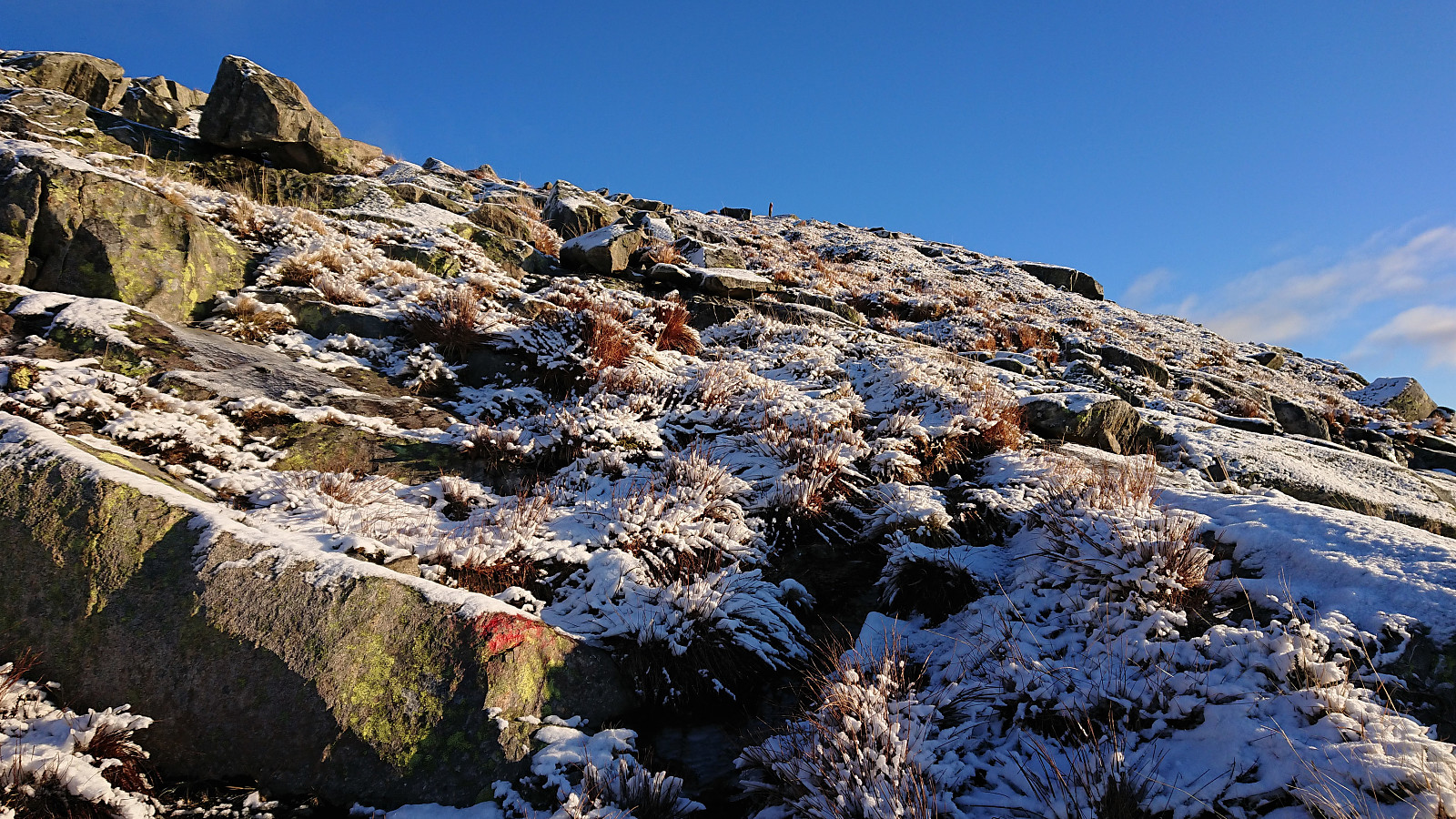
I started by taking the express bus to Haugsvær and getting off at the bus stop called "Haugsvær Auto". This put me right next to the gravel road that would take me up to the marked trailhead for Nonklettfjellet (or just Nonkletten as on the signs). The trail was marked with a combination of old faded red wooden markers and newer blue markers, that overall made it easy to follow the trail all the way to the summit. One has to pay attention though, as the faded red markers where not always easy to spot and the trail itself was not always super clear either.
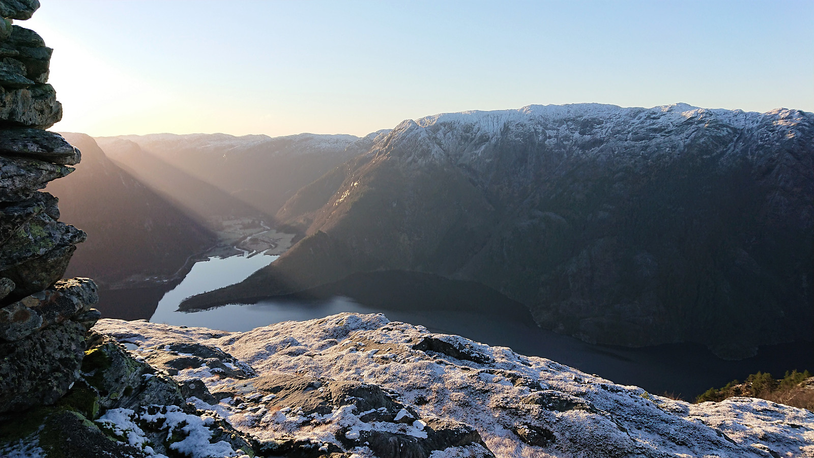
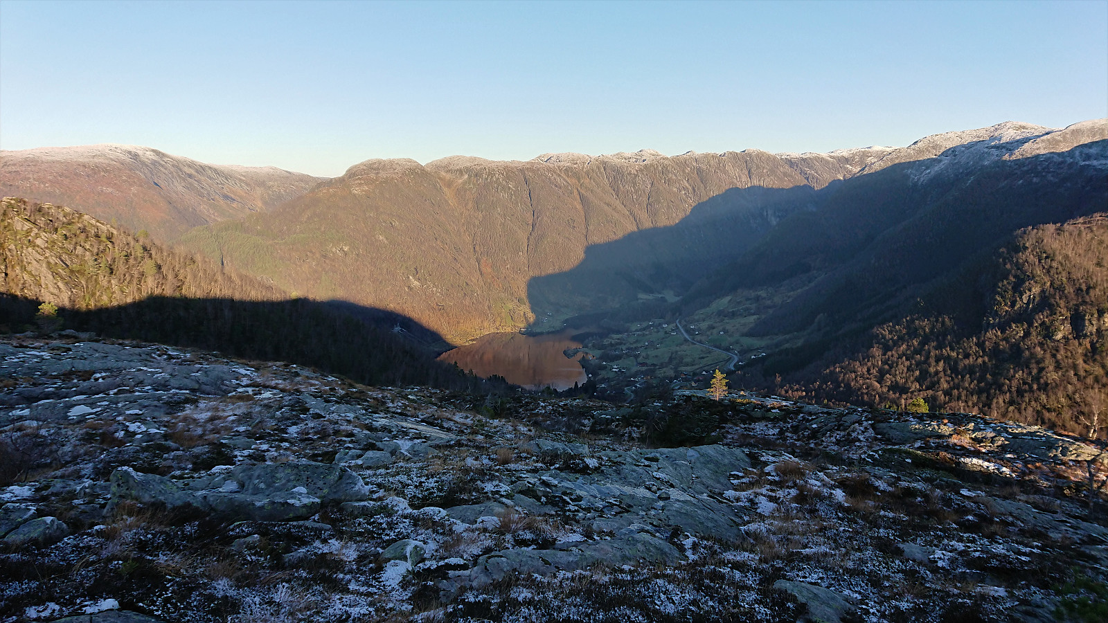
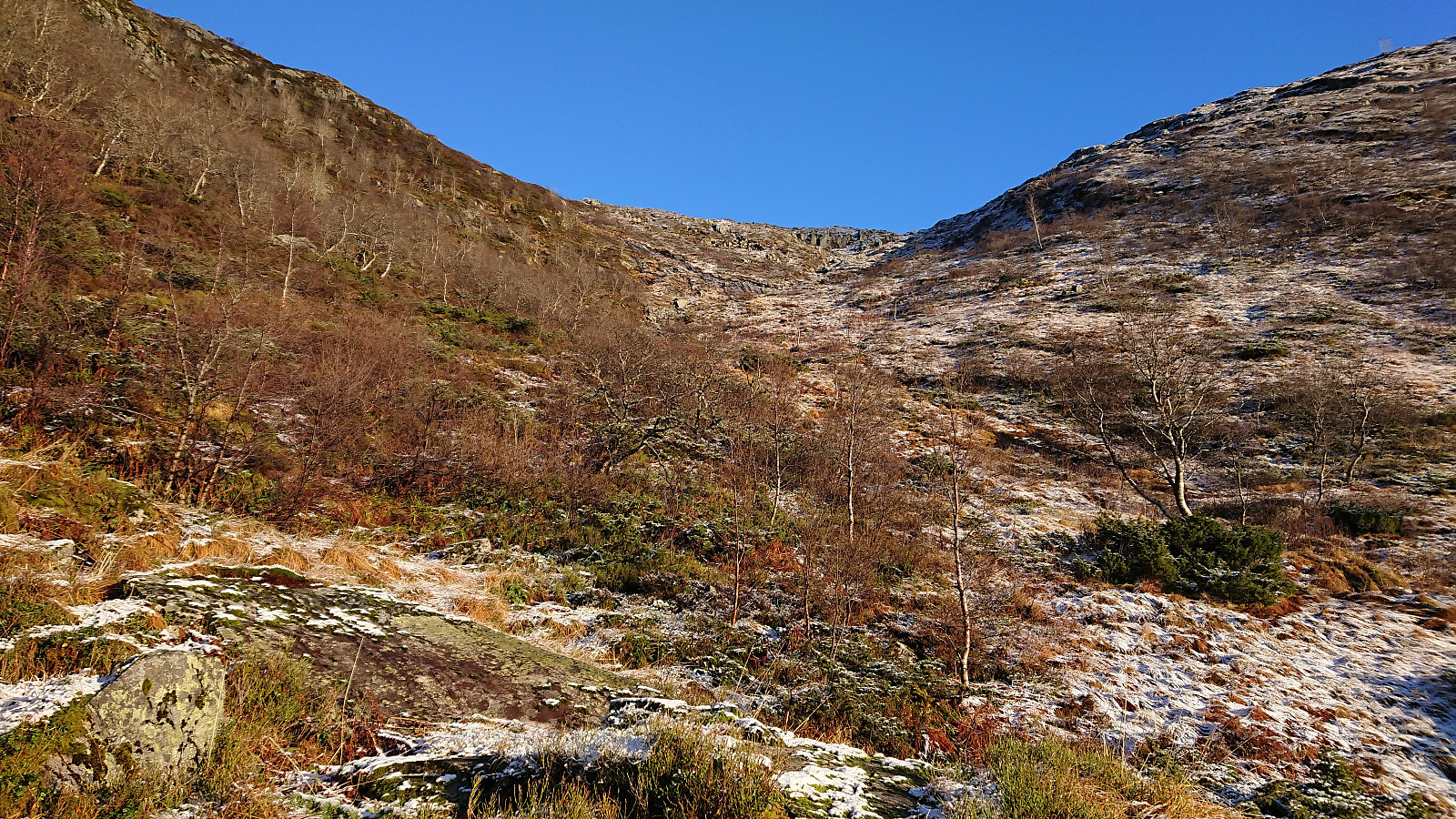
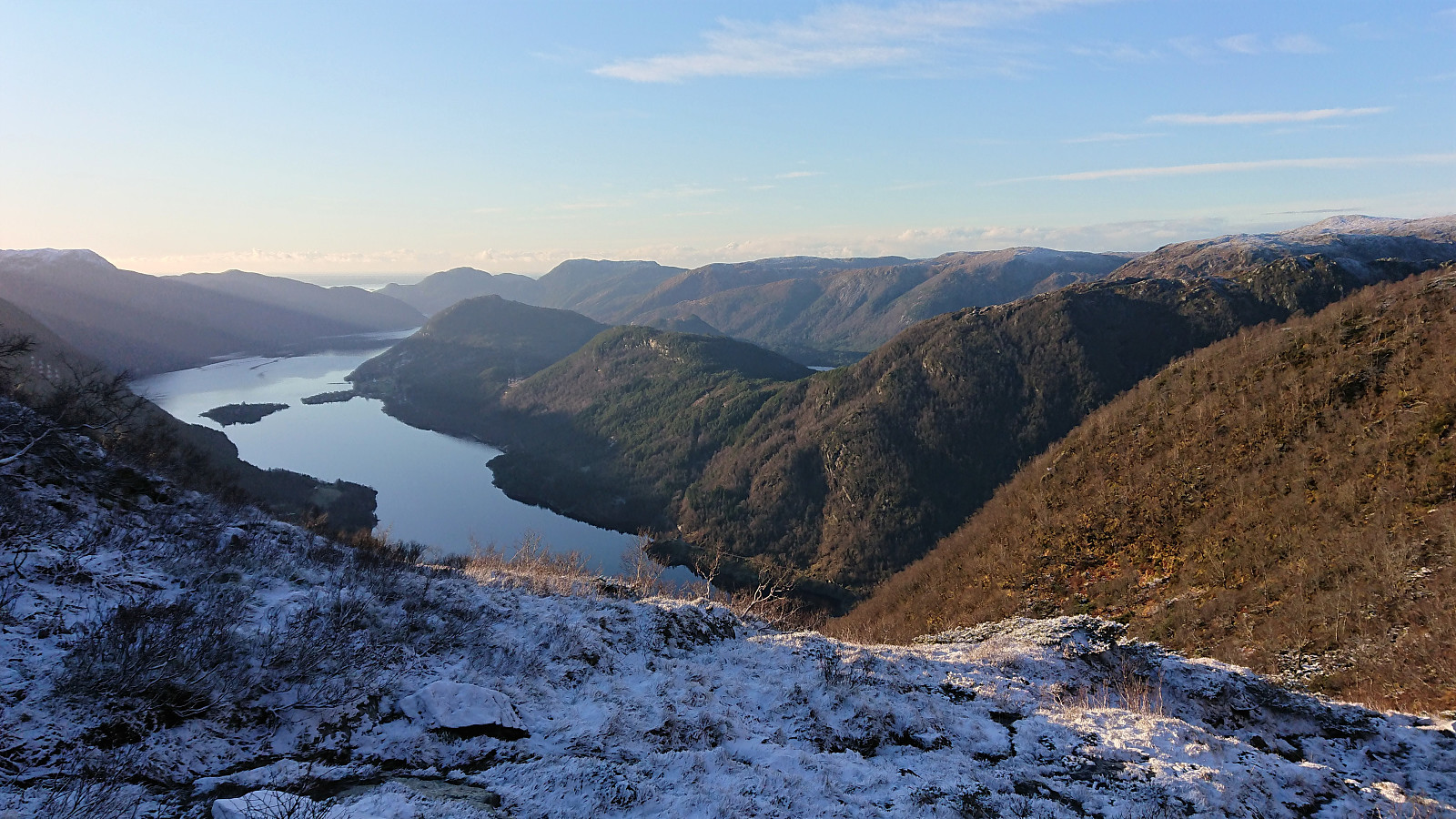
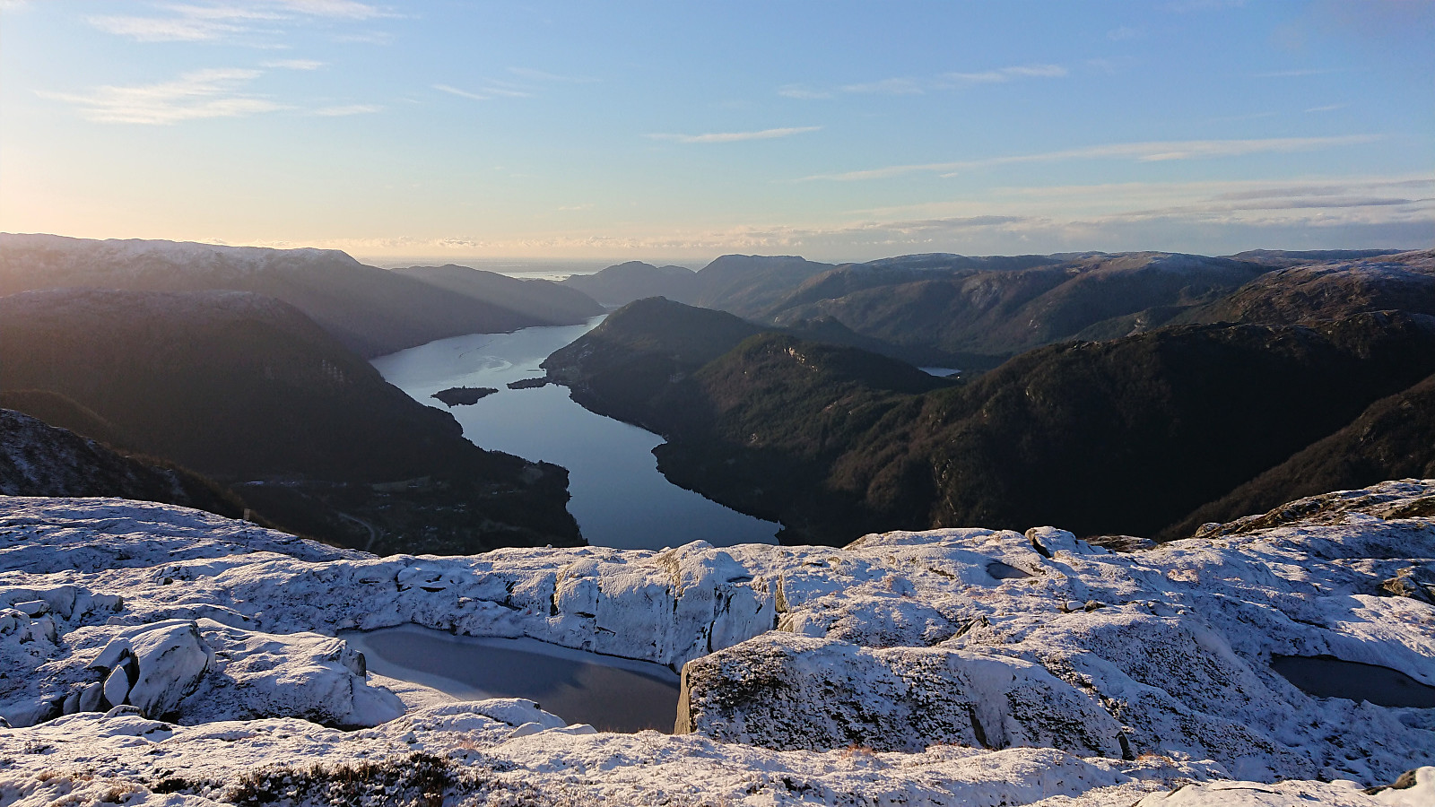
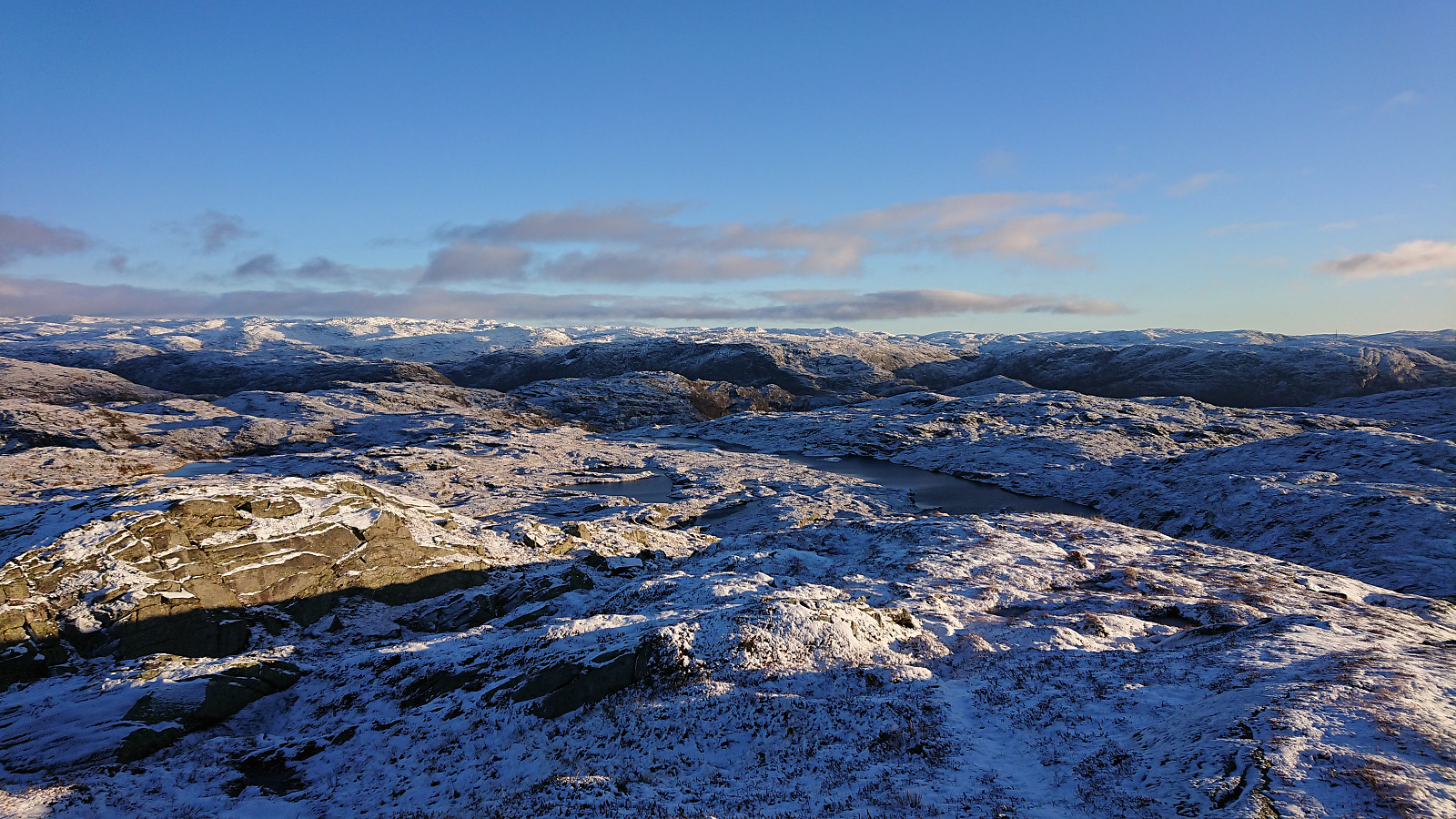
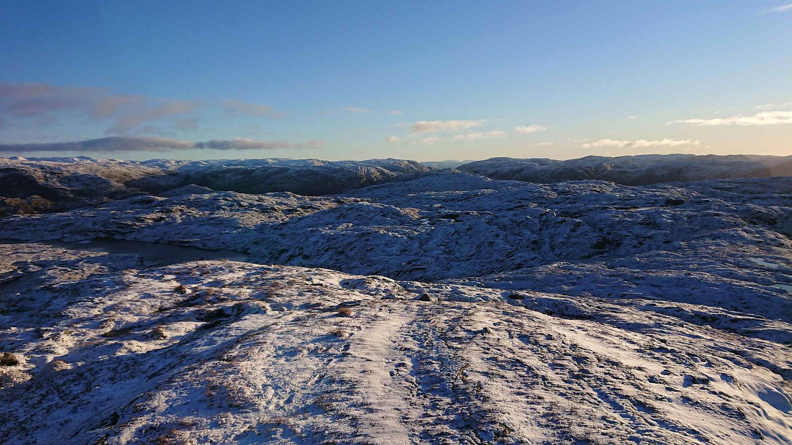
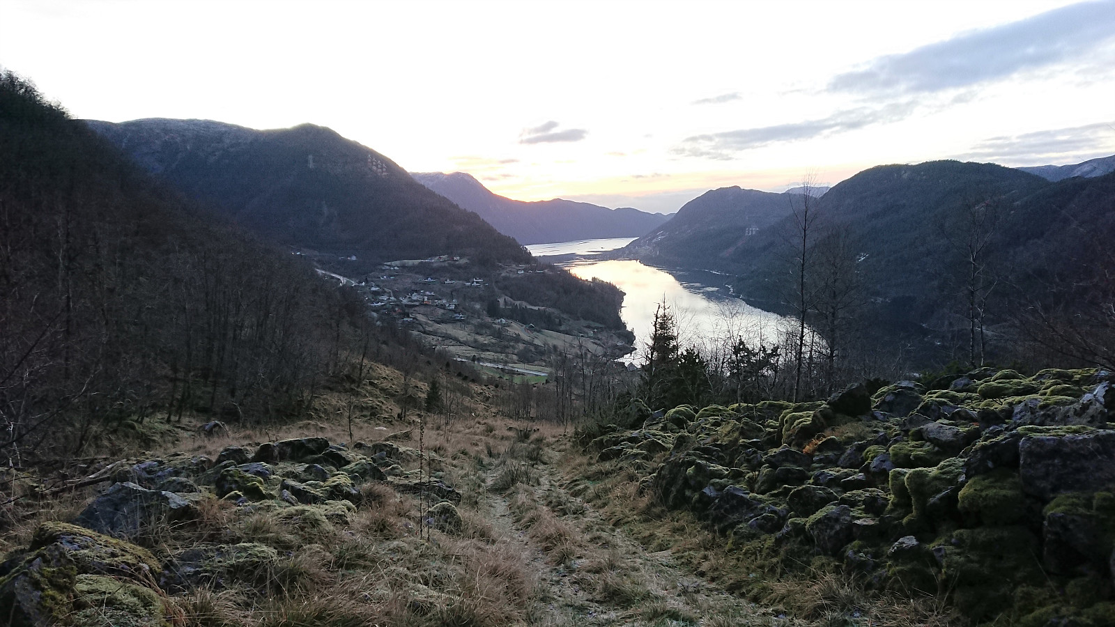
As an extra challenge, parts of the trail were today covered with a thin layer of ice. Thankfully these areas good be easily avoided, but it did result in a slightly slower pace than usual. As I was approaching the summit, the trail (and the potential ice) was also covered by less than a centimeter of snow. In the end, the summit was still reached without any real issues and provided excellent views both across Masfjorden (i.e. the fjord itself) and towards Haugsdal.
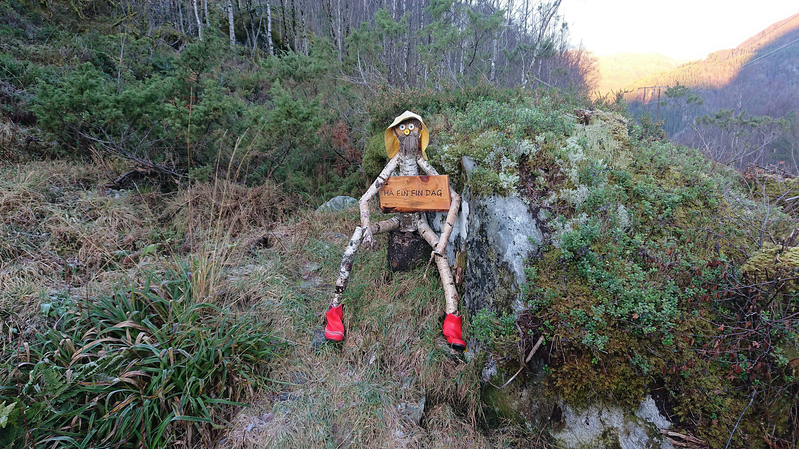
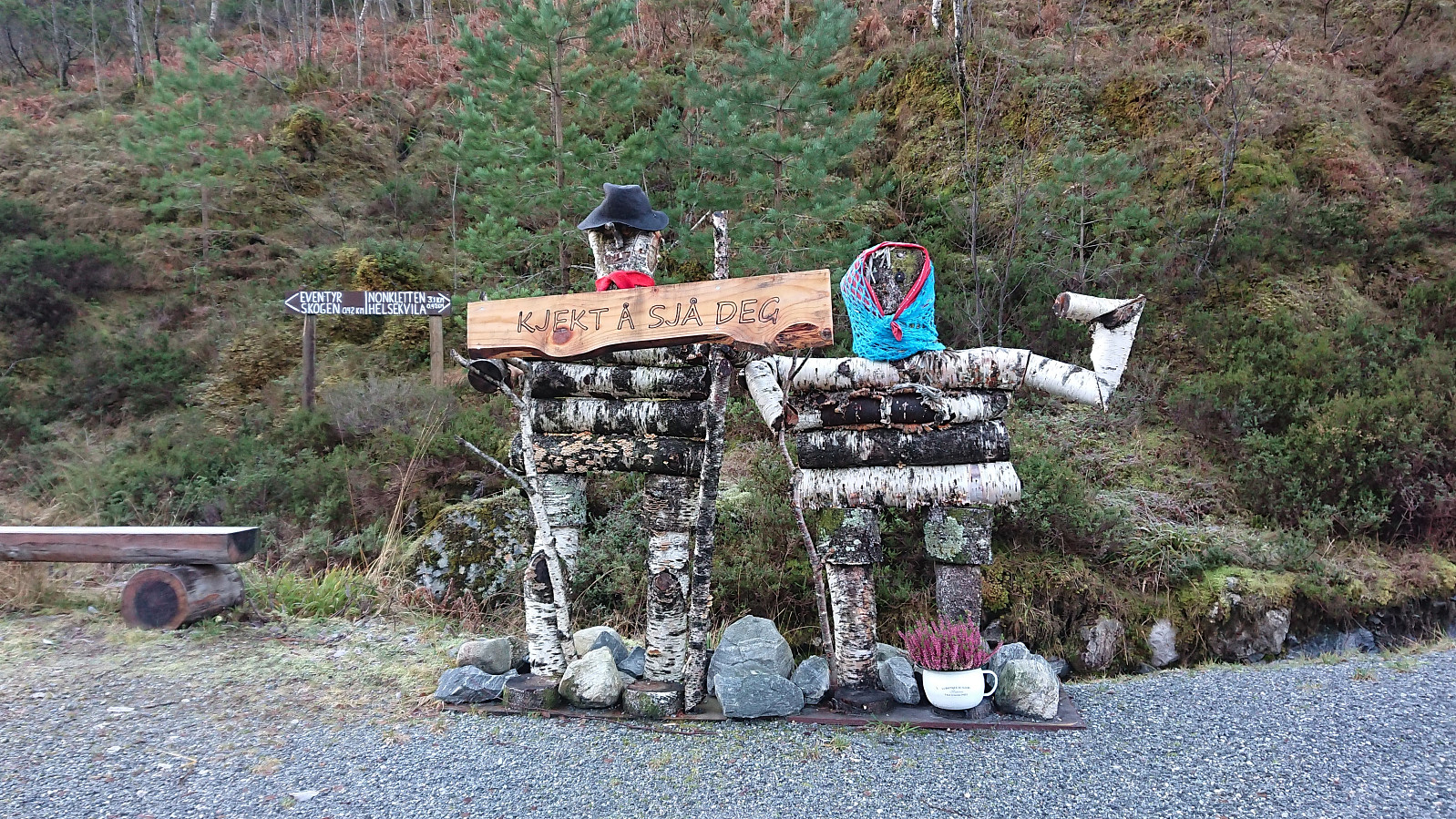
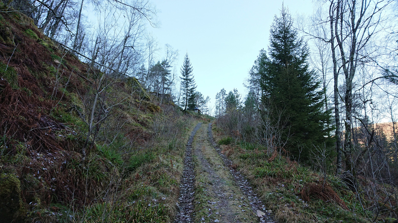
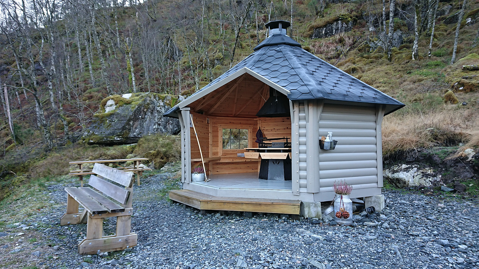
After a short lunch break, I returned along the same route, again being extra careful to not slip on the ice. When getting back to the gravel road, I made a short detour to the very nice shelter/picnic area called Helsekvila, before returning to the main road and following it north to the unmarked trailhead for Fjellet. Here, I first followed a tractor road east until it came to an end and then continued on a very nice unmarked trail up to Nova where I had another short break.
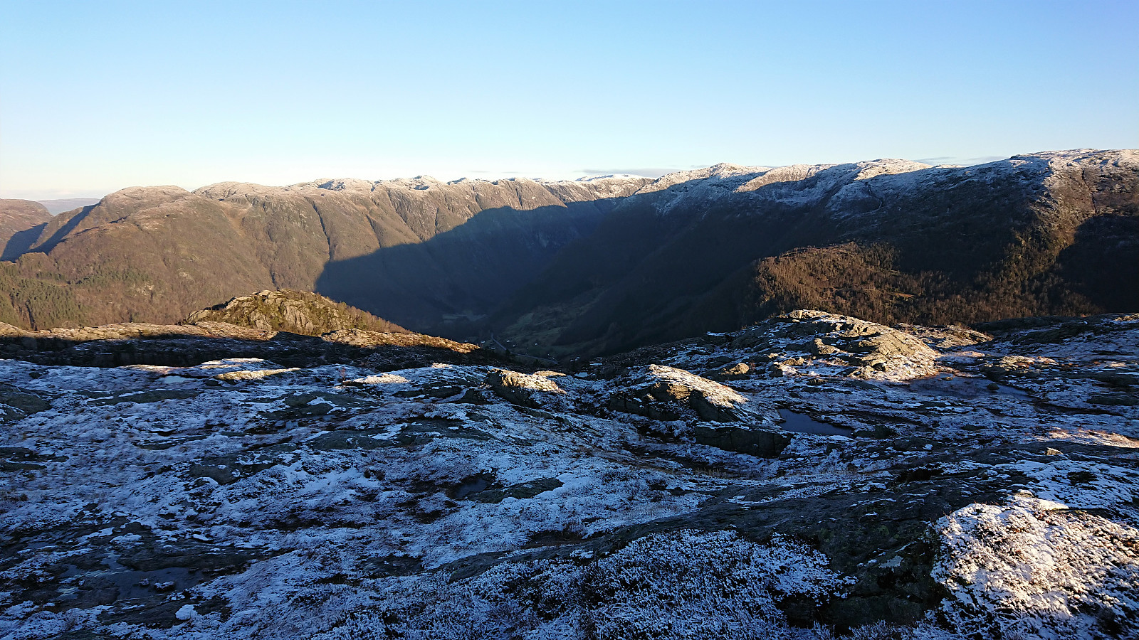
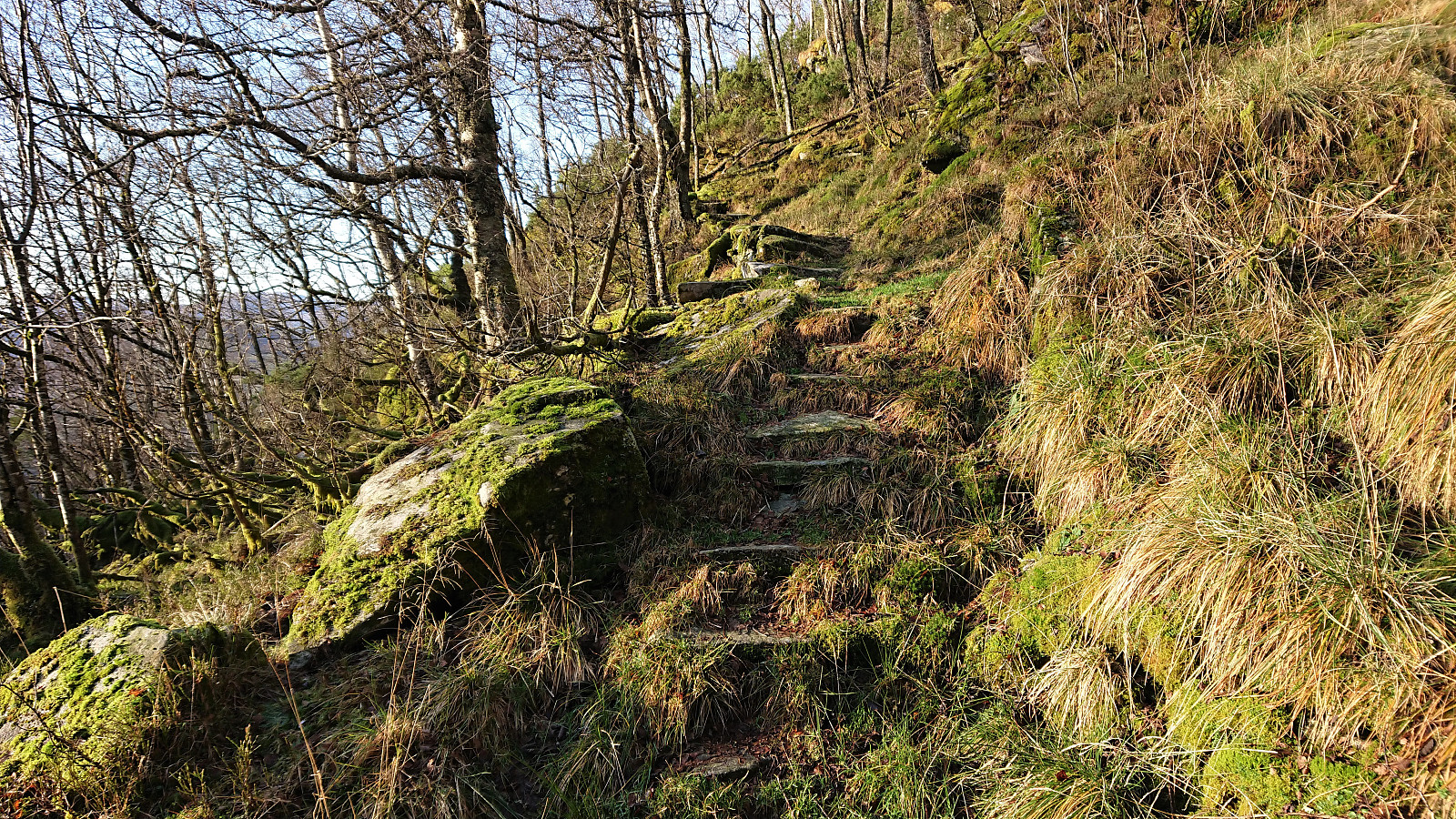
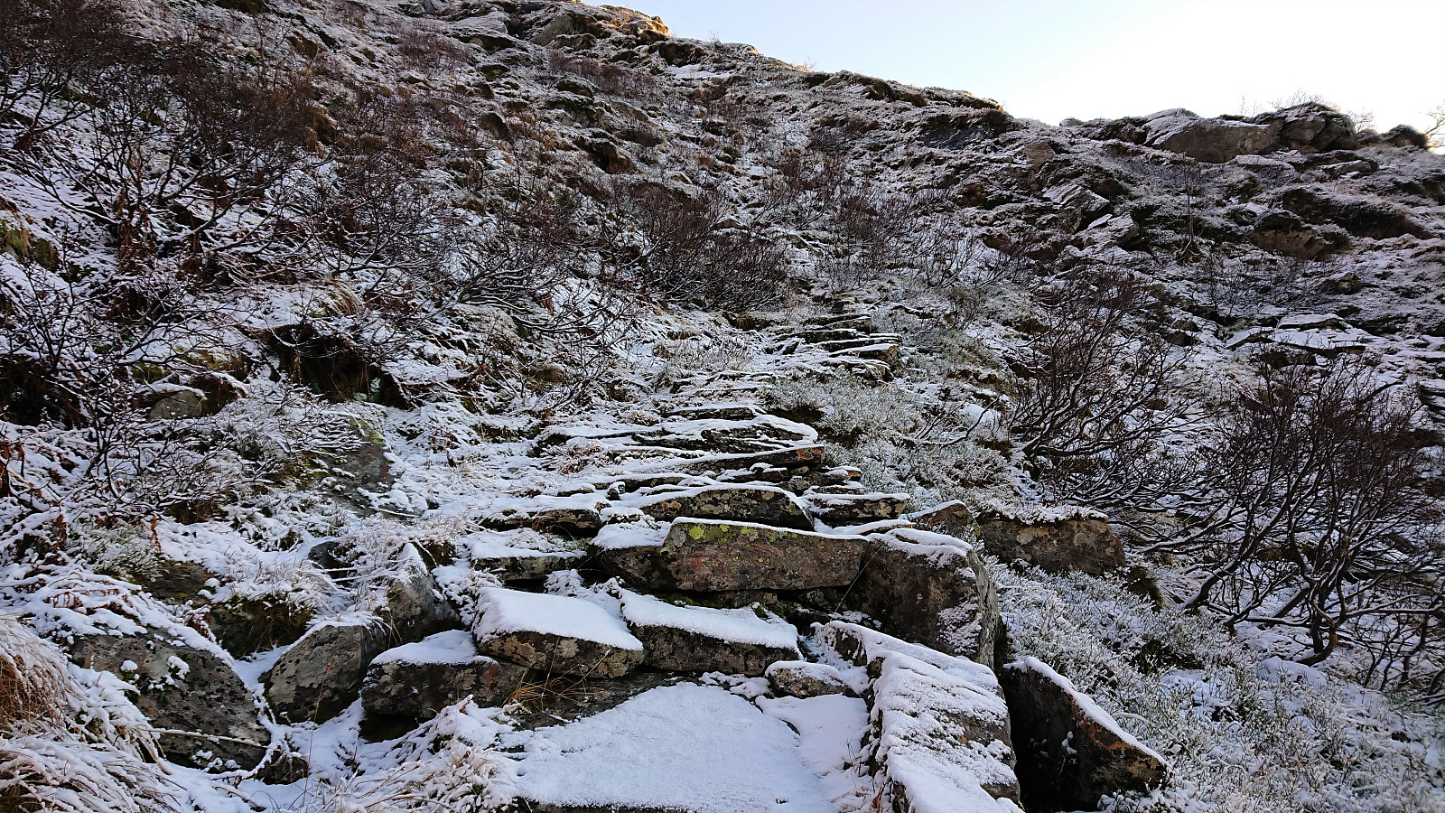
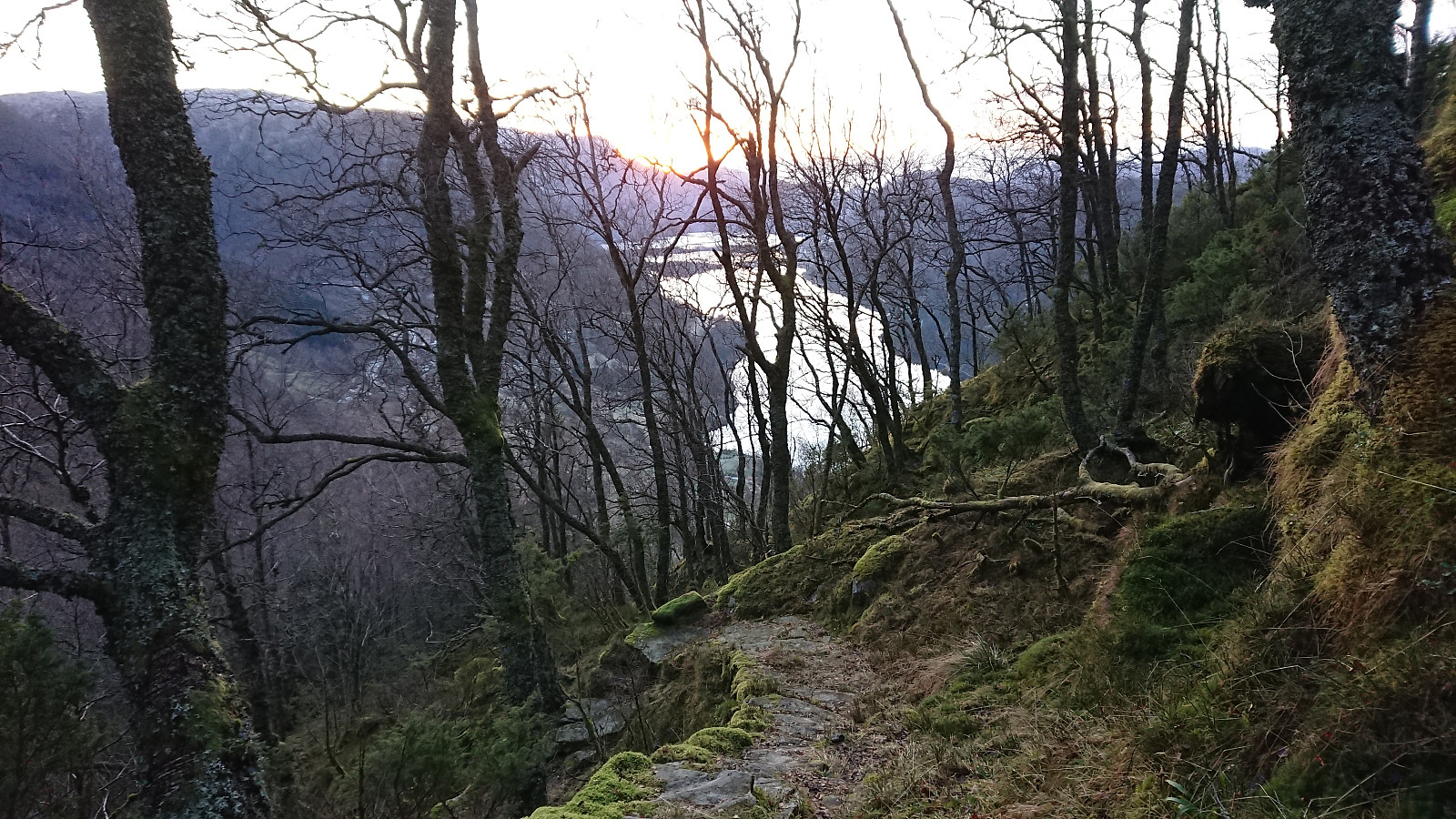
Shortly after leaving Nova, I again had to slow my pace to make sure to avoid icy areas, and soon the potential ice was once more covered by a thin layer of snow. This section was still very enjoyable, as I was now following an old trail with lots of hand-made stone steps, presumably going all the way to Nordgjelsbotnen further east.
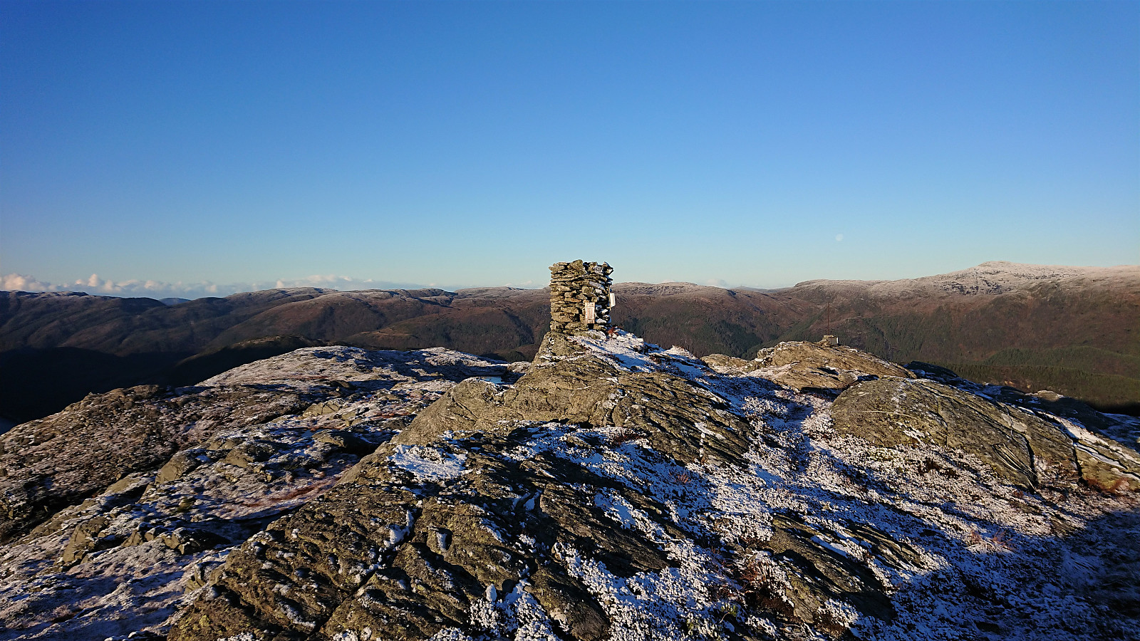
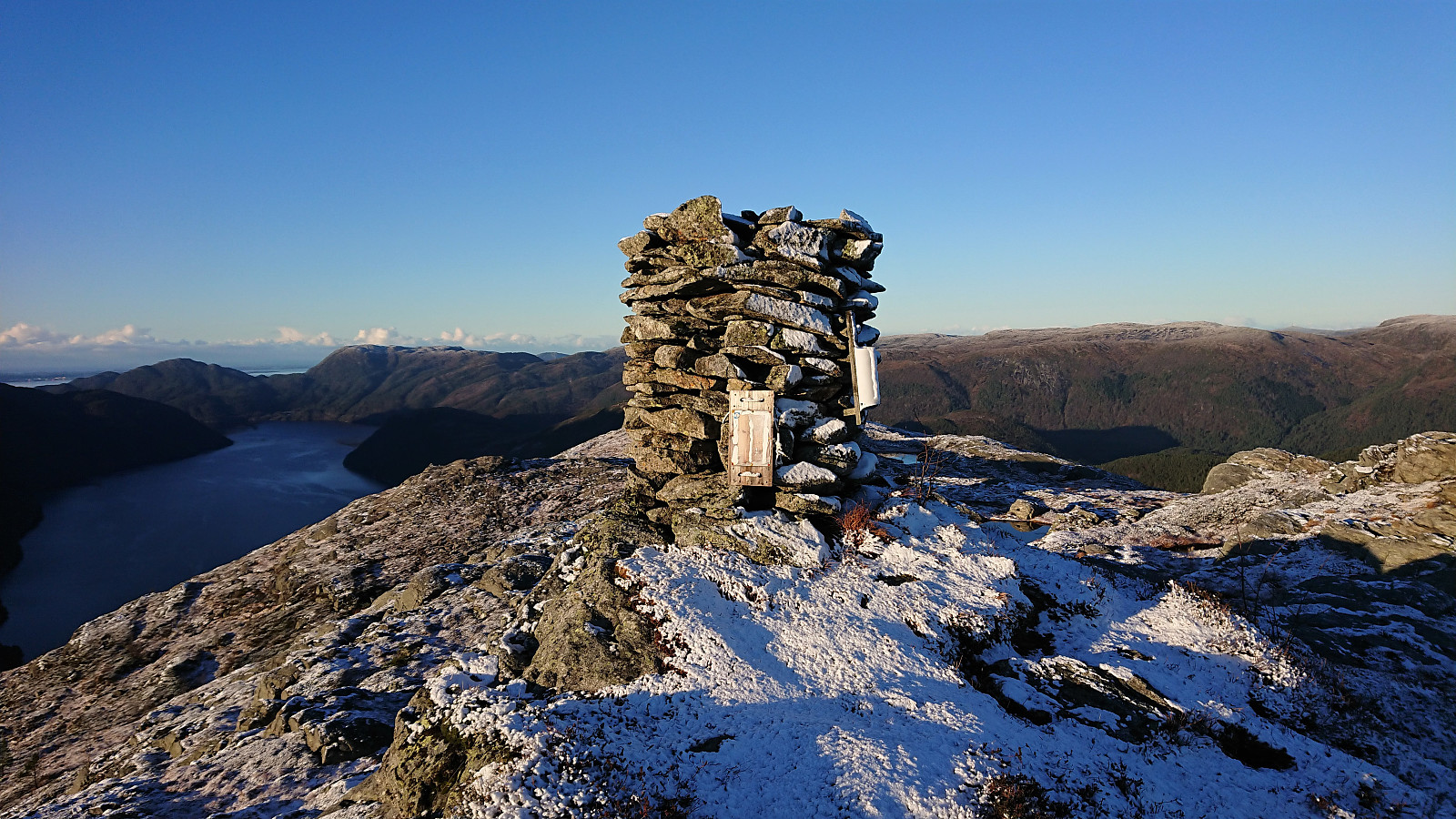
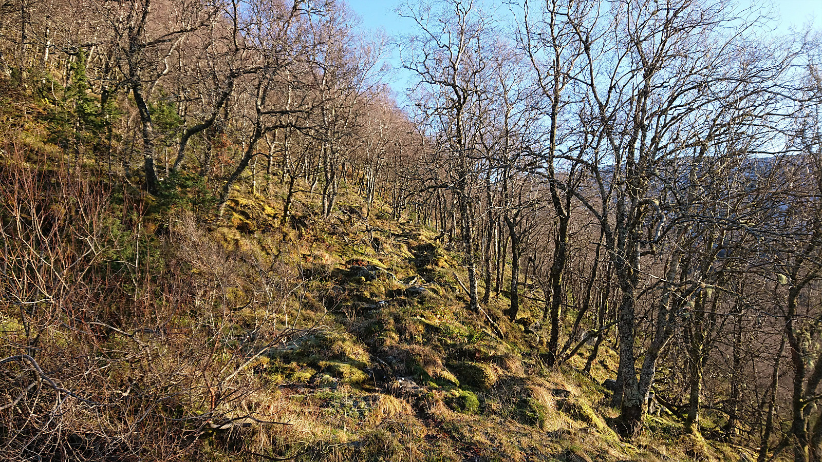
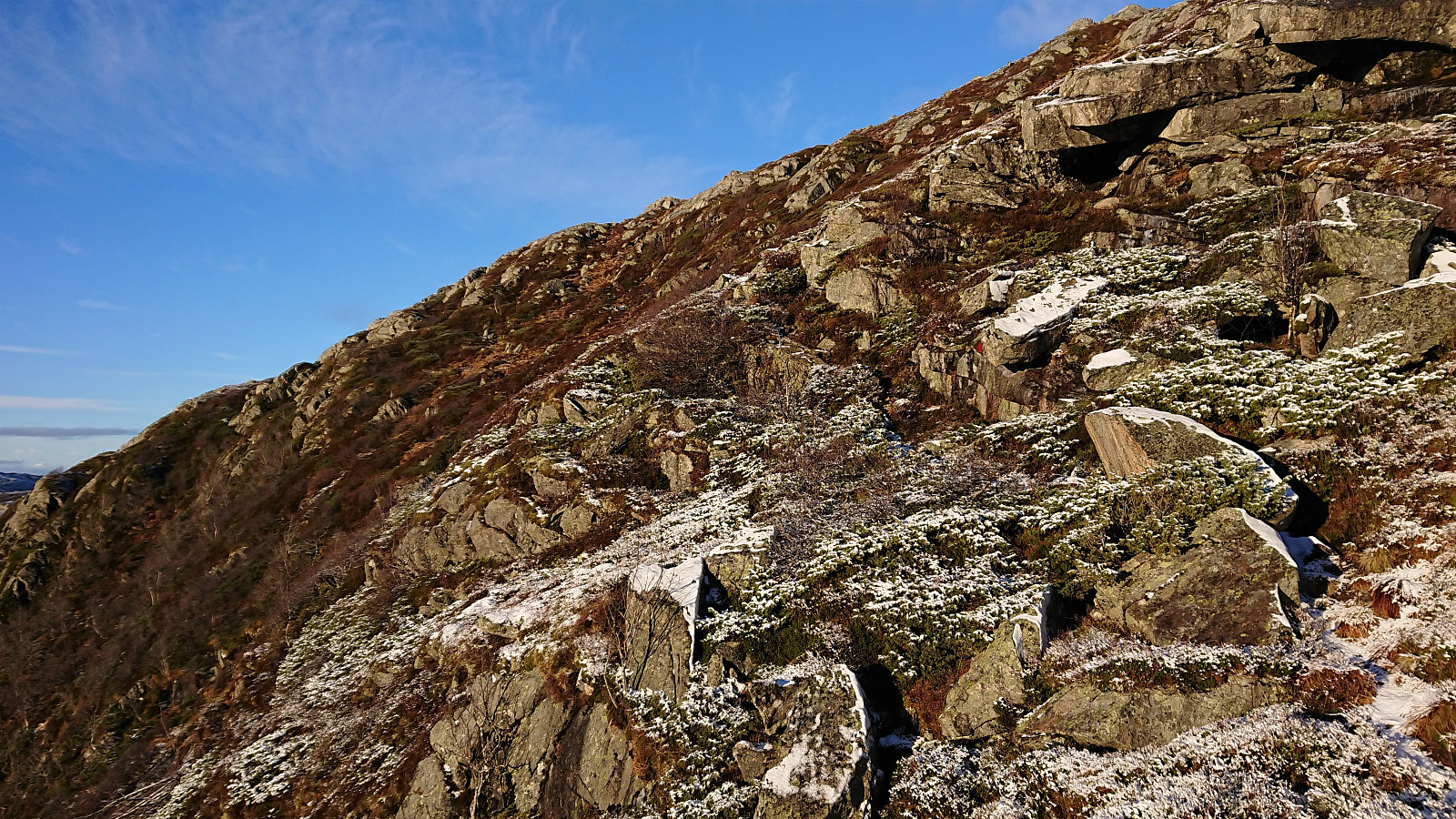
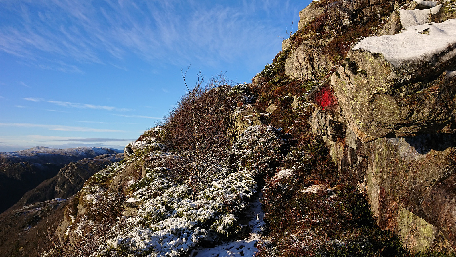
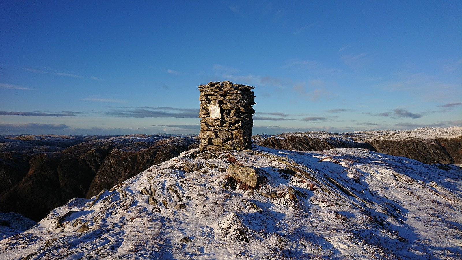
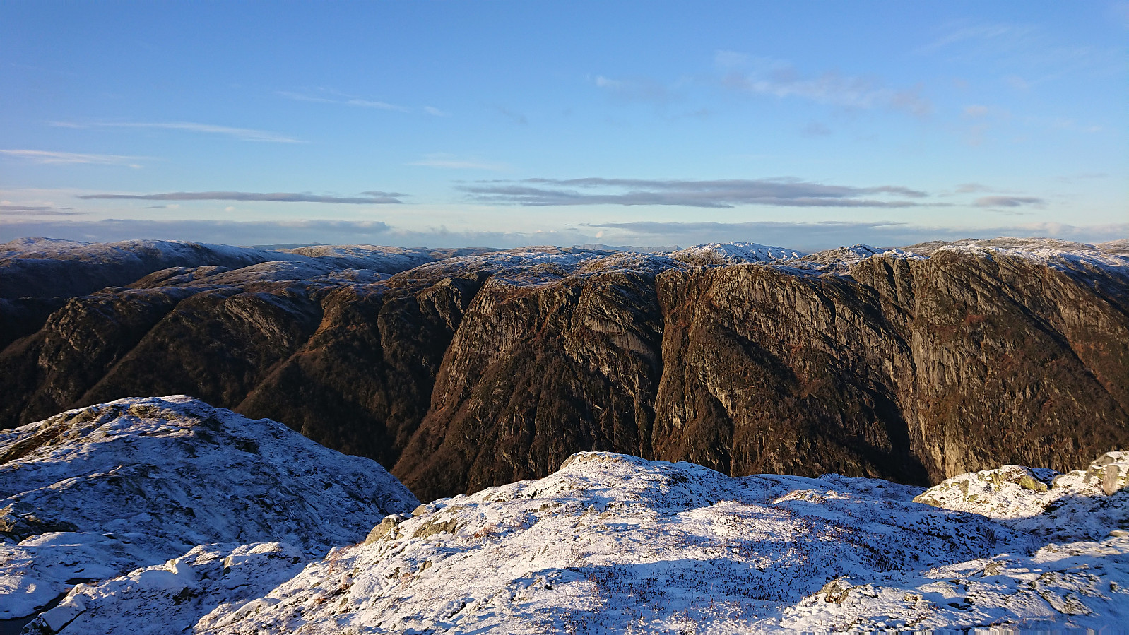
As I was getting closer to the summit of Fjellet, I happened to spot a red trail marker painted on a large rock to my left, which turned into a marked trail that I could follow all the way to the summit. Noted, neither the red markers nor the trail itself, were necessarily easy to spot, but this is probably better without the snow. The summit included a large cairn and provided excellent panoramic views in all directions!
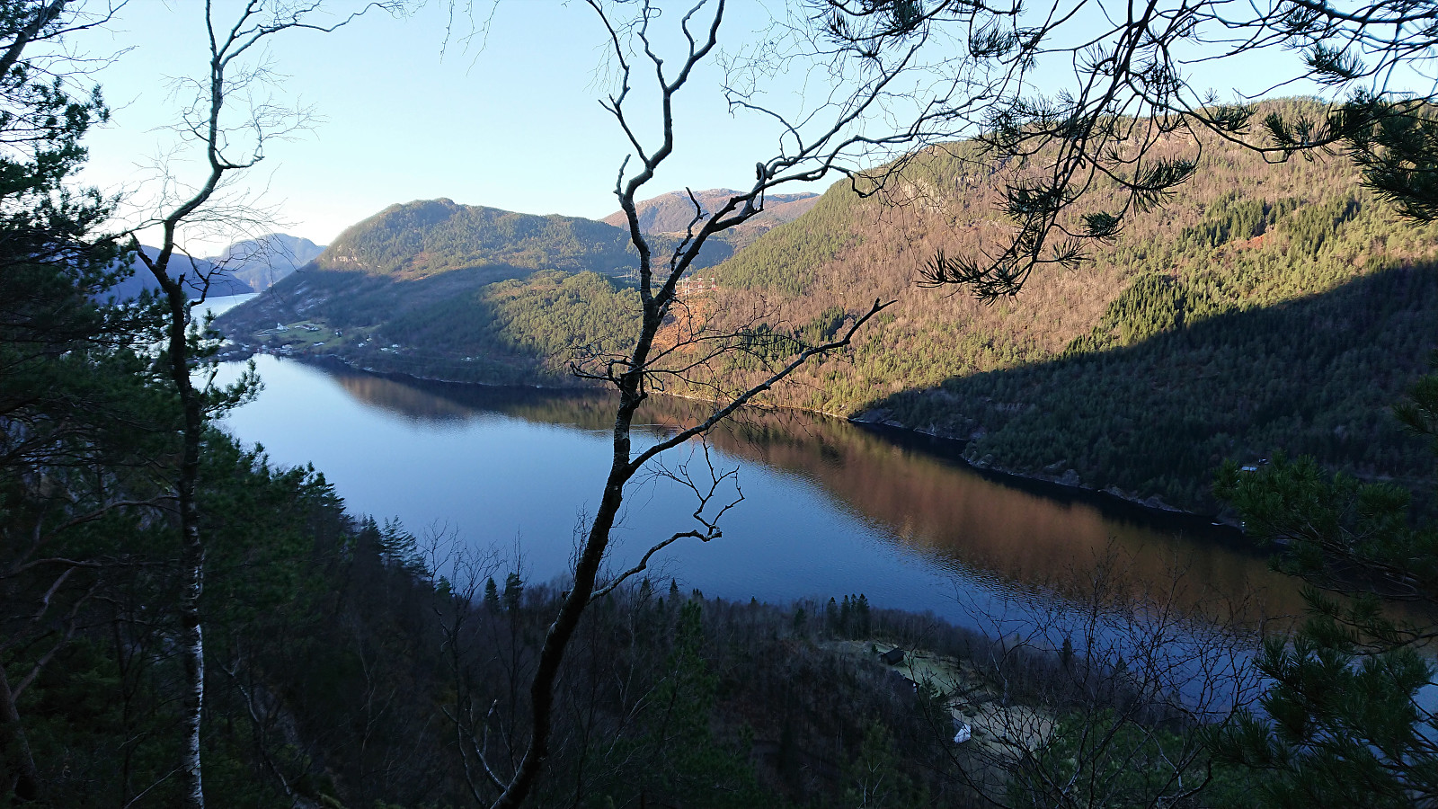
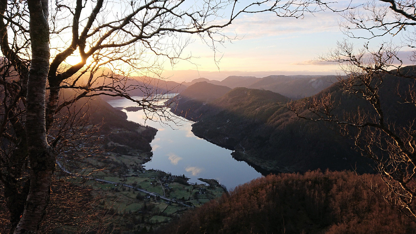
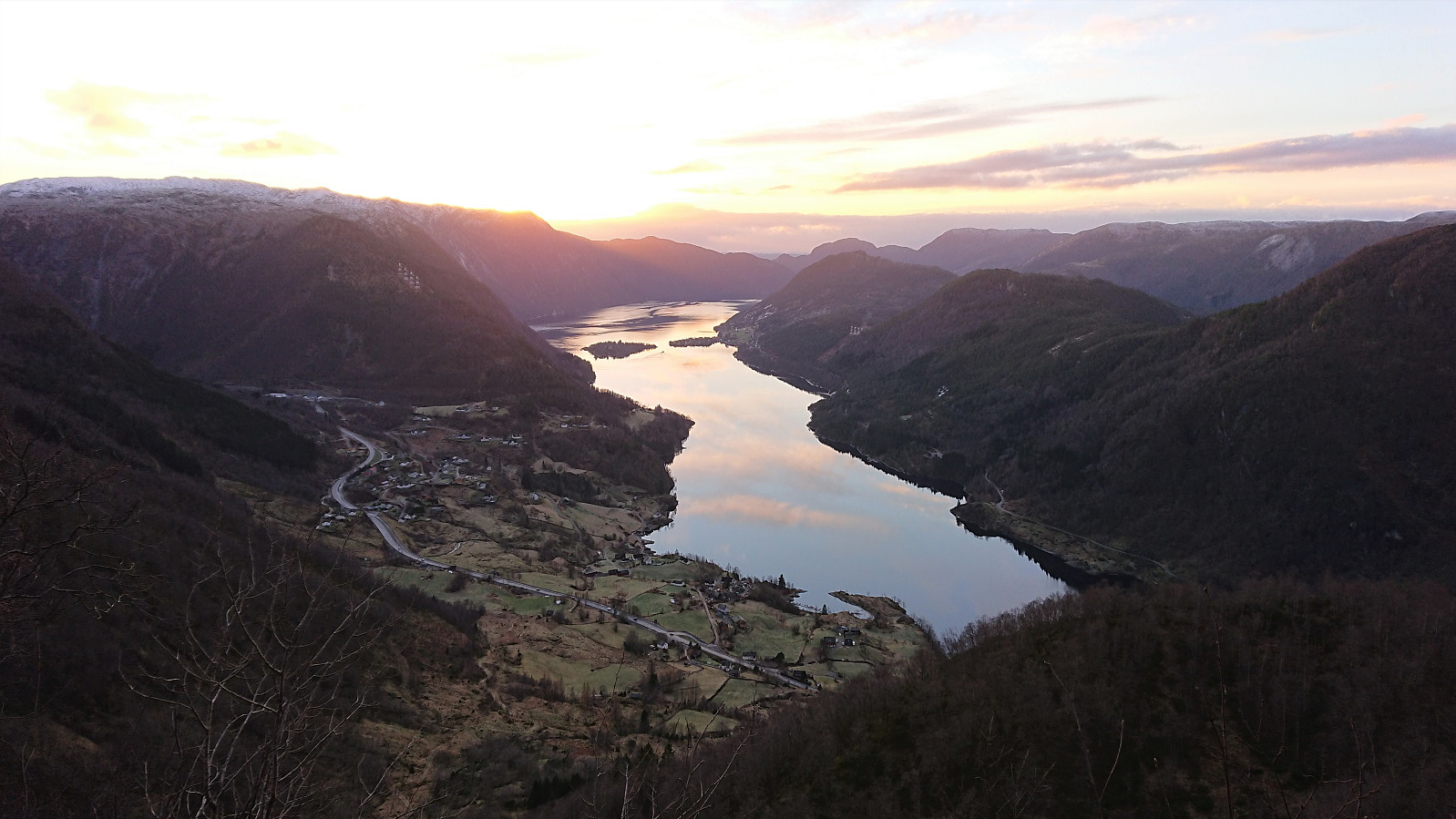
Due to a cold wind, I however did not stay long before starting my descent along the same route, making sure to be extra careful to not slip and fall on the partly hidden ice. In any case, I had plenty of time to spare before the return bus to Bergen. I therefore added yet another short break and even waited around for the sun to set at a particularly nice location overlooking Haugsværfjorden. By taking it slow and monitoring my speed, I only had to wait for around 15 minutes at the bus stop.
In conclusion, a brilliant hike with spectacular views from both summits that can be very highly recommended. The highlight for me was the old trail with the many stone steps up to Fjellet with its excellent views along the way.
| Start date | 21.11.2021 09:36 (UTC+01:00) |
| End date | 21.11.2021 16:24 (UTC+01:00) |
| Total Time | 6h 47min |
| Moving Time | 5h 14min |
| Stopped Time | 1h 33min |
| Overall Average | 1.9km/h |
| Moving Average | 2.5km/h |
| Distance | 13.0km |
| Vertical meters | 1,266m |


User comments