
Gravdalshorga from Gravdal (31.10.2021)

Written by hbar (Harald Barsnes)

| Start point | Gravdal (4m) |
|---|---|
| Endpoint | Gravdal (4m) |
| Characteristic | Hillwalk |
| Duration | 3h 57min |
| Distance | 10.2km |
| Vertical meters | 775m |
| GPS |
|
| Ascents | Gravdalshorga (672m) | 31.10.2021 |
|---|
Gravdalshorga from Gravdal
I started by taking the bus from Bergen to Gravdal and got off at the bus stop called "Gravdal sør, Kvam". From there I pretty much followed in the footsteps of previous PB-hikers to Gravdalshorga, and could thus take advantage of their efforts at finding the best route.
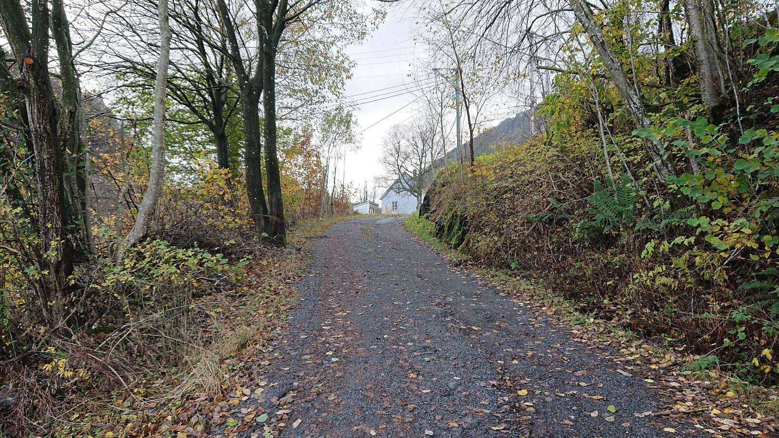
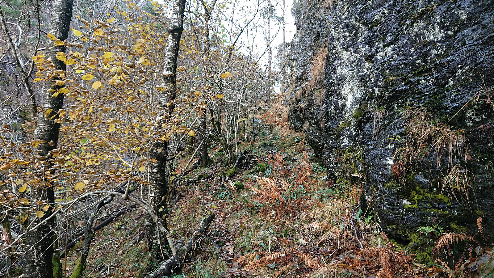
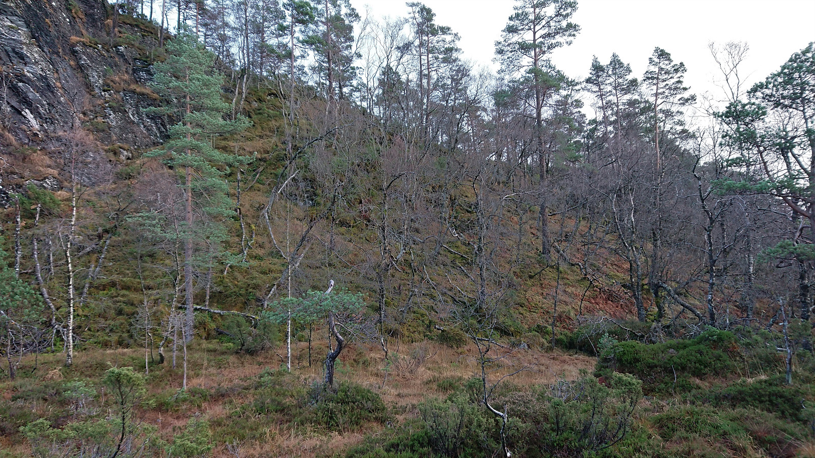
After passing the last houses at the end of Gravdalsvegen, I continued on a tractor road taking me to an unmarked trail following the river up to the unnamed cabin at the northeastern end of Sakresvatn. While the trailhead was unmarked, the trail itself was relatively easy to follow.
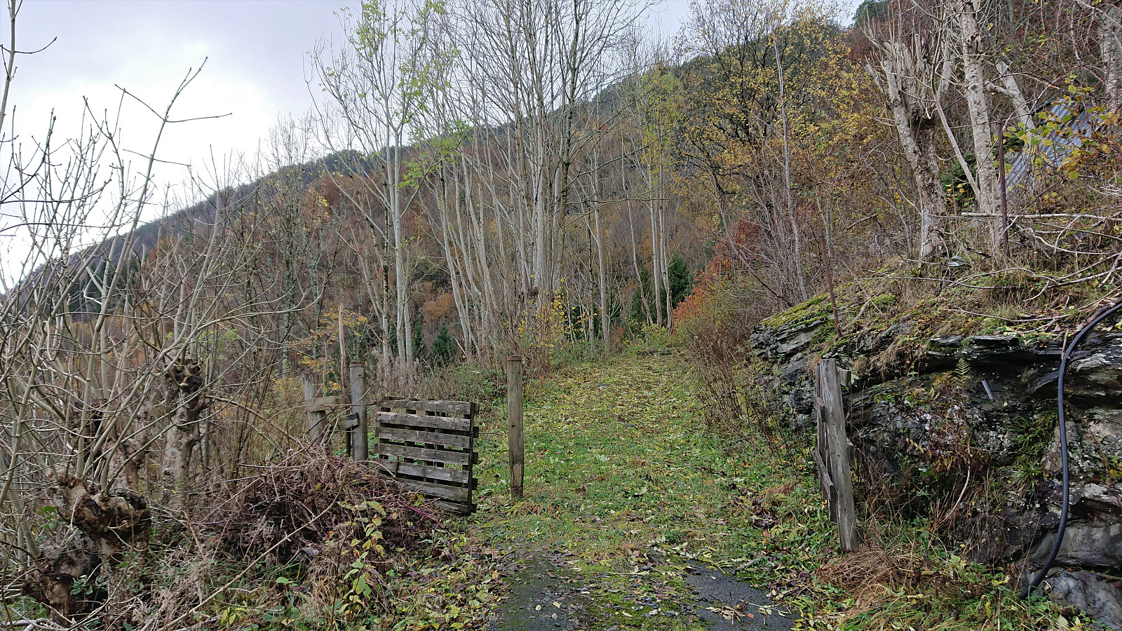
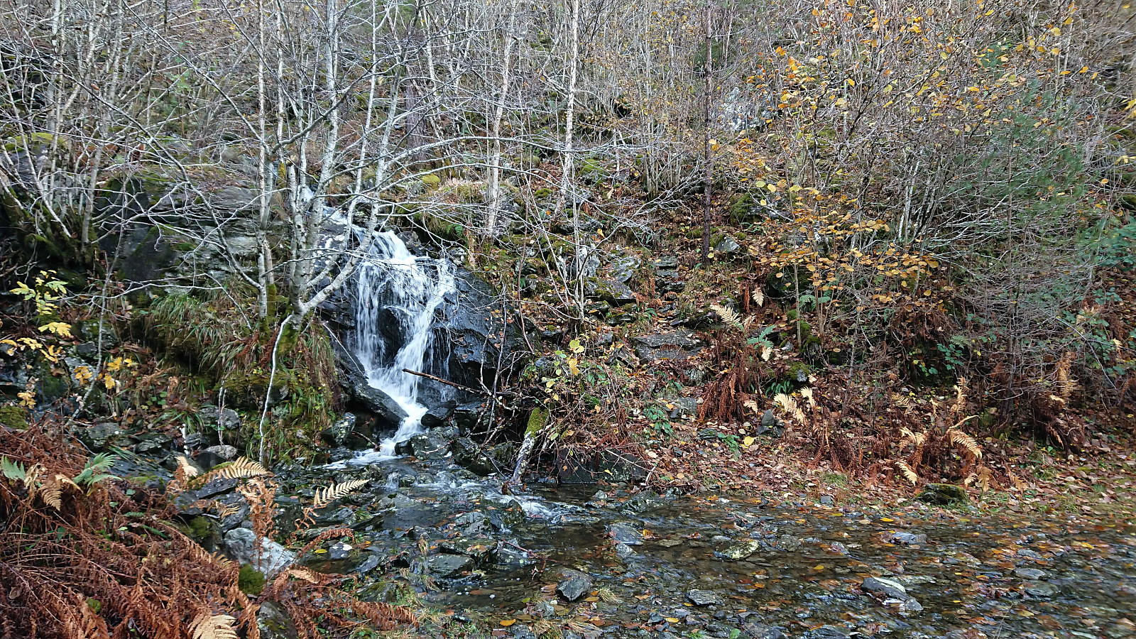
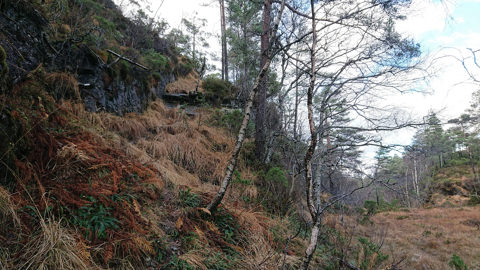
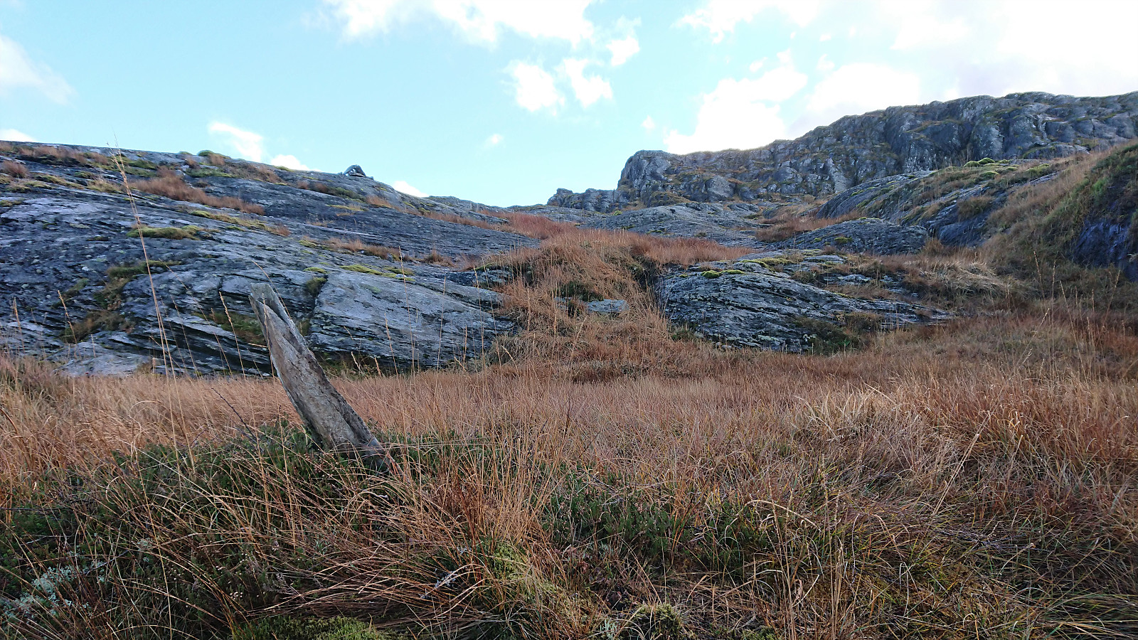
As I arrived at the cabin, I however noticed that this was an unnecessary detour and that I should rather have stayed on the south side of the stream (see the return route). But after finding a place to cross the stream I was shortly back on track following a rather weak trail heading southwest along the ridge southwest of Sakresvatn. At the end of this ridge, the trail/track descended west before disappearing. I therefore did what other hikers have done and simply headed off-trail towards the summit, mainly by following the river southwest.
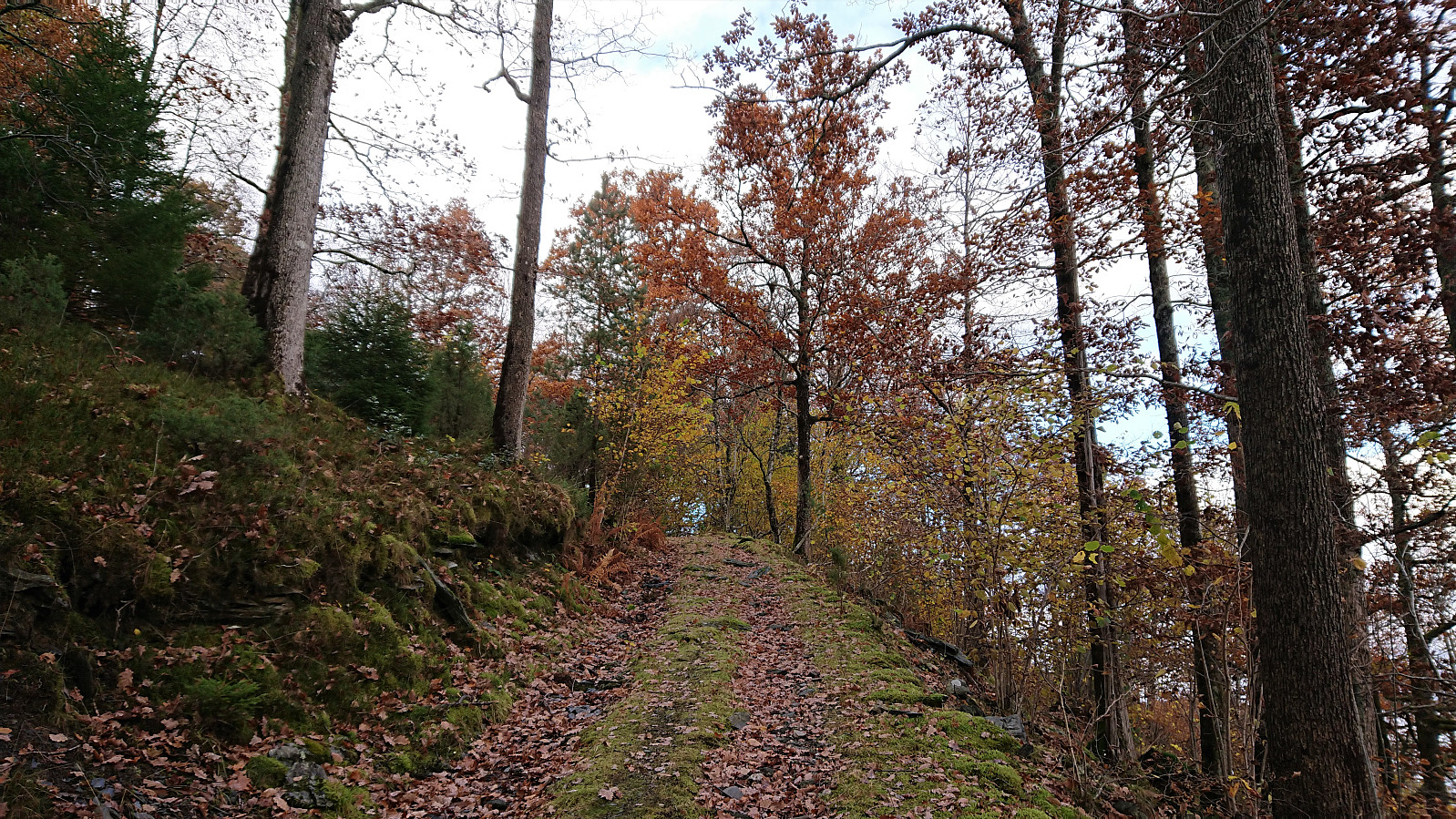
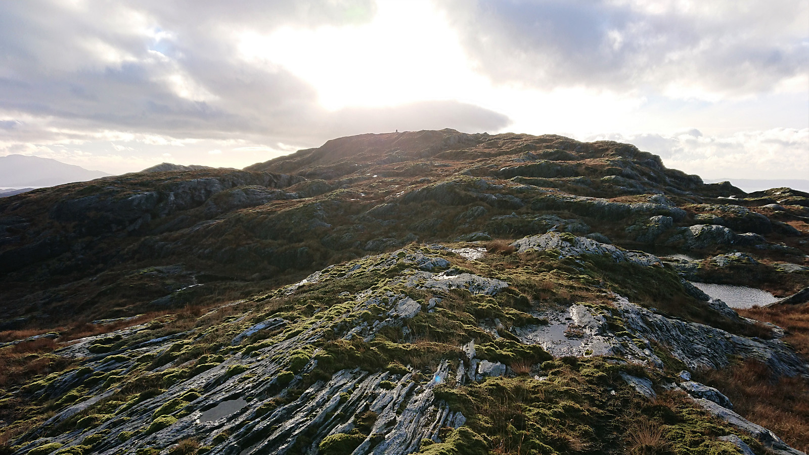
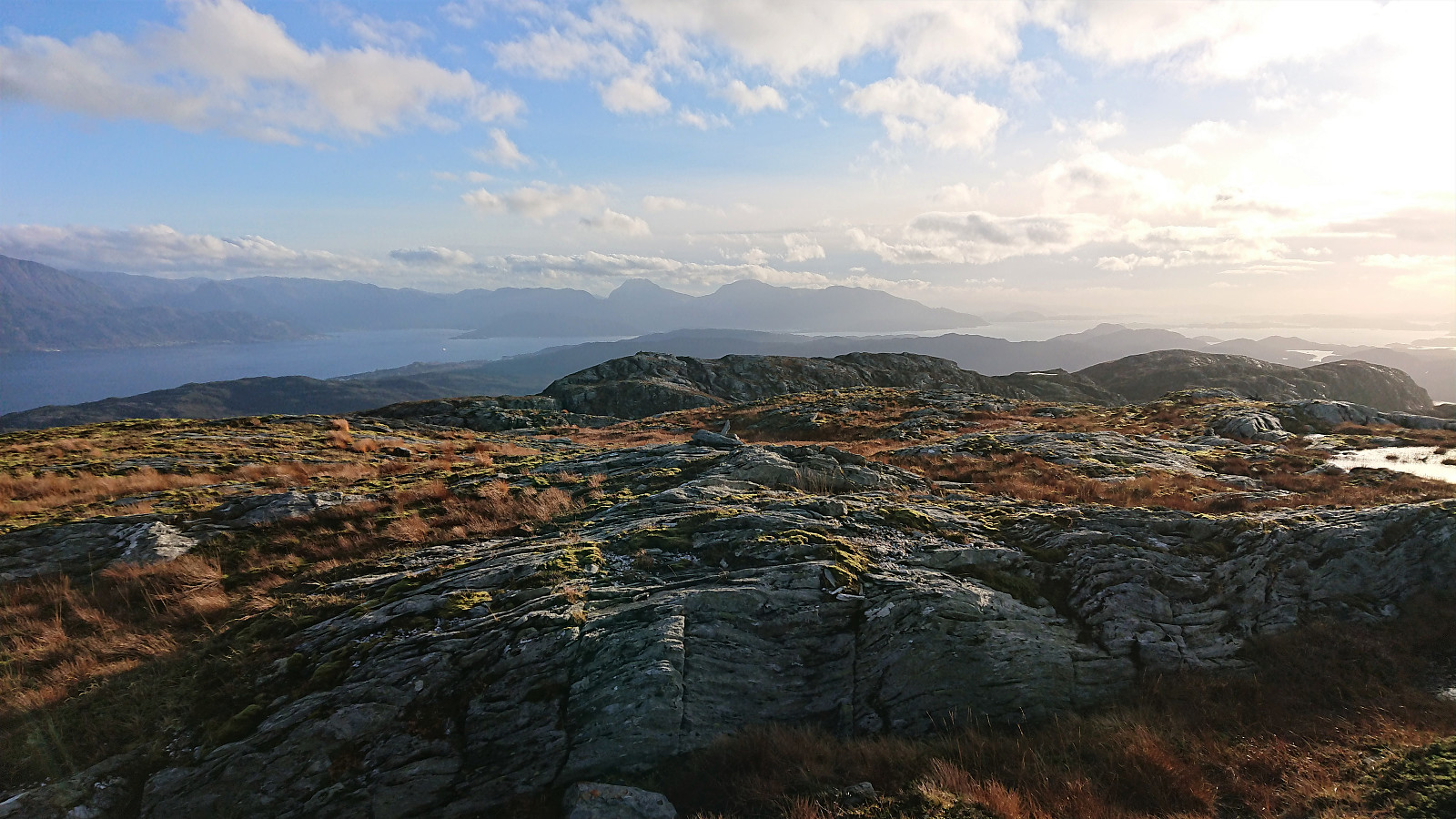
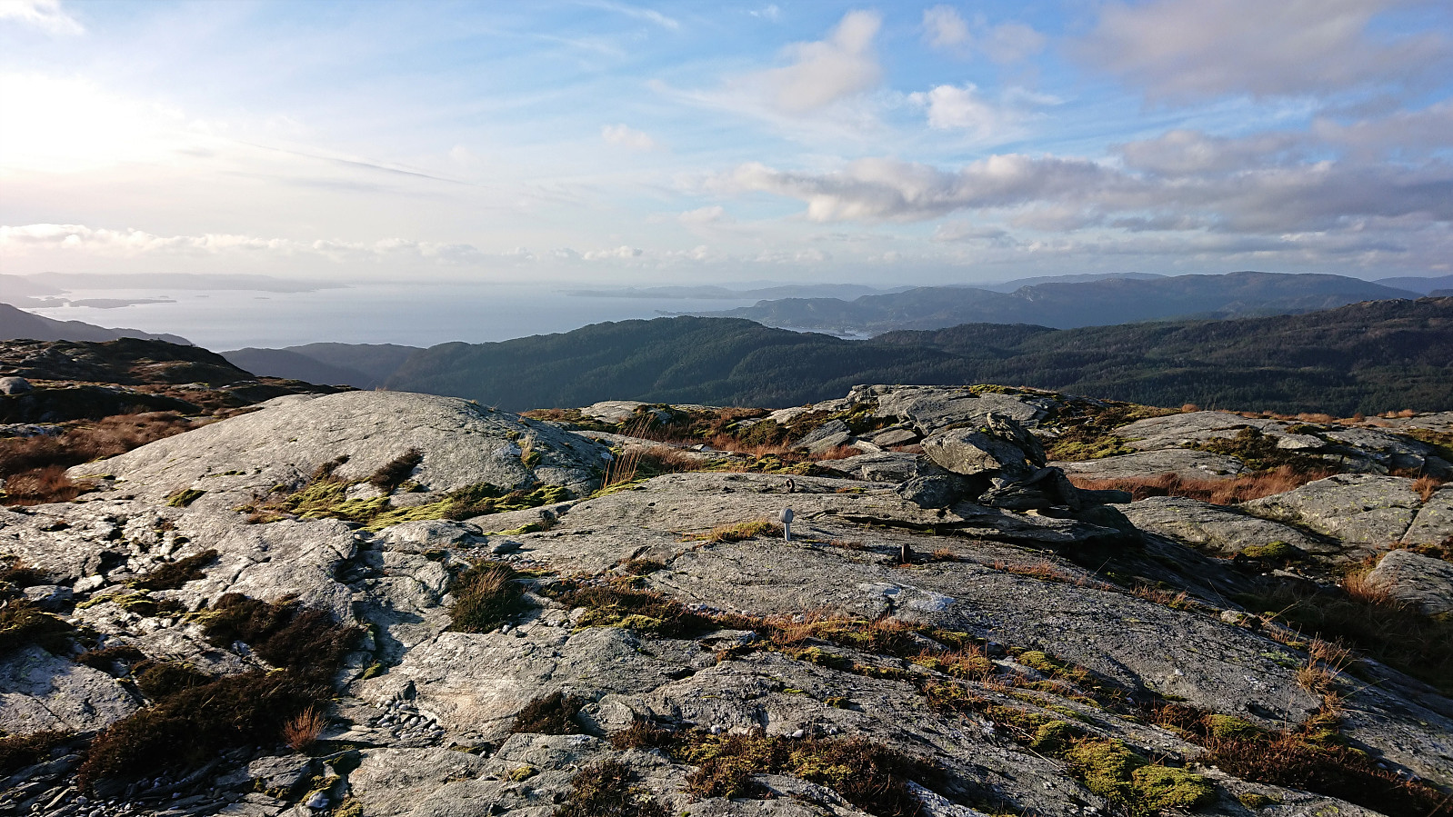
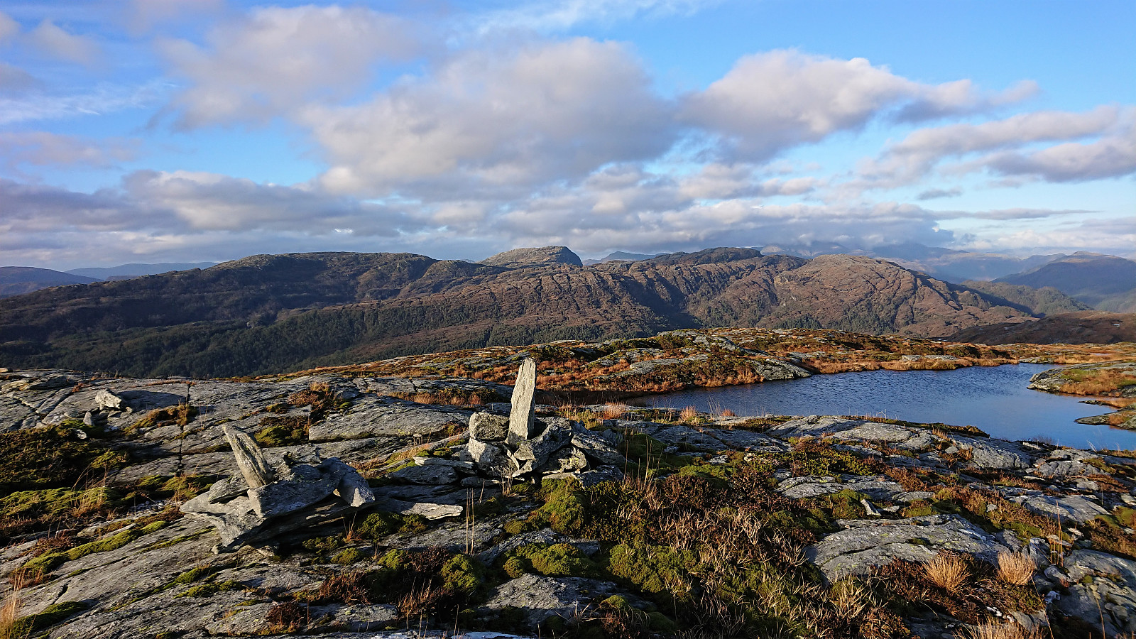
This made for an overall easy ascent, and when getting to the ridge heading southwest to the summit there were even traces of a trail/track. Soon there were also small cairns to follow, and while the next cairn was not always easy to spot (at least not at the start), they altogether made it straightforward to progress towards the summit.
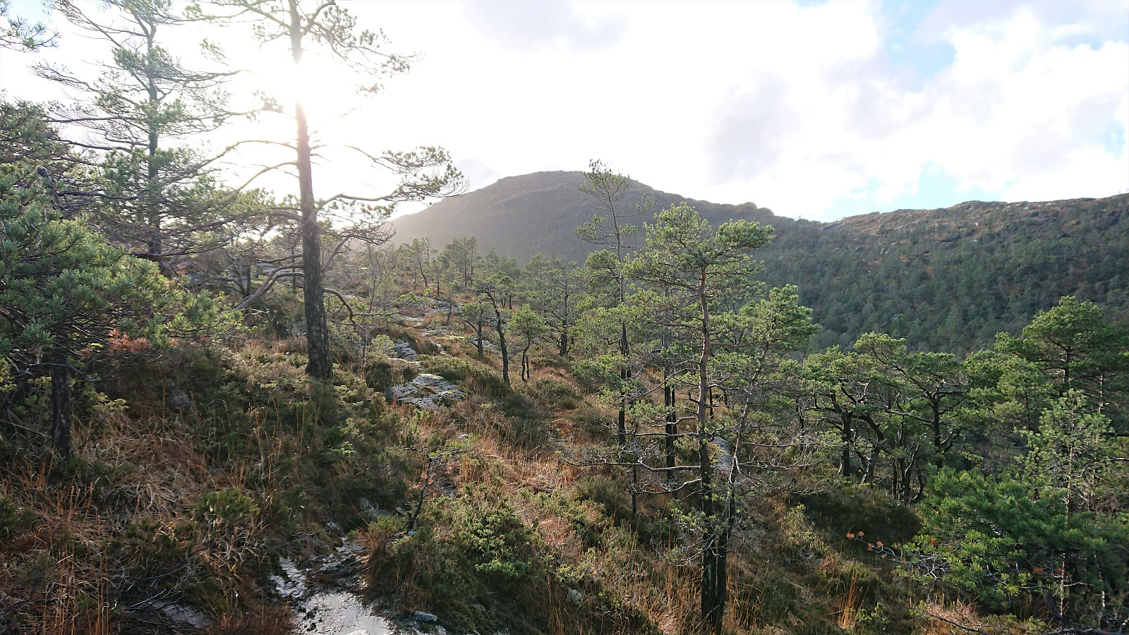
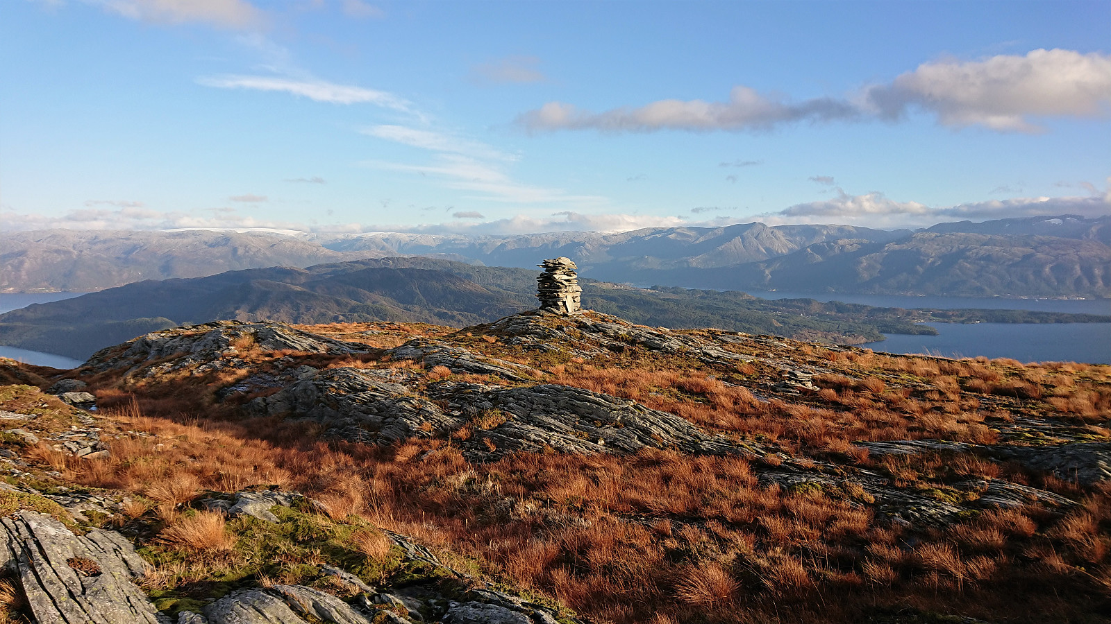
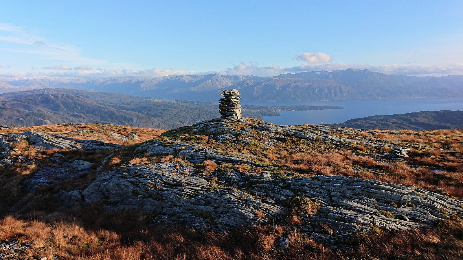
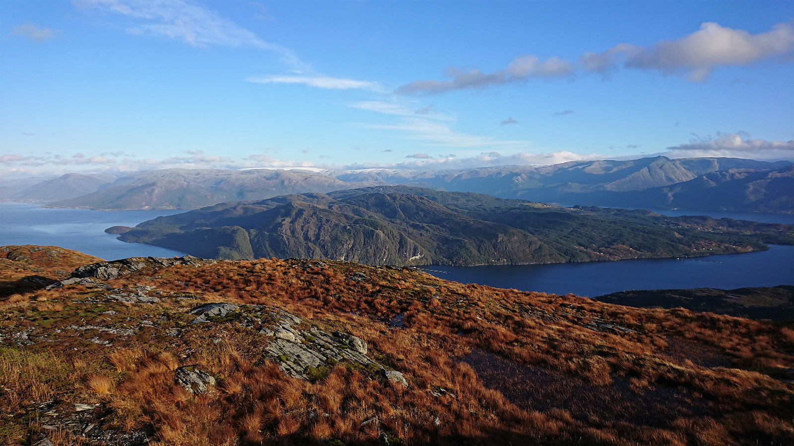
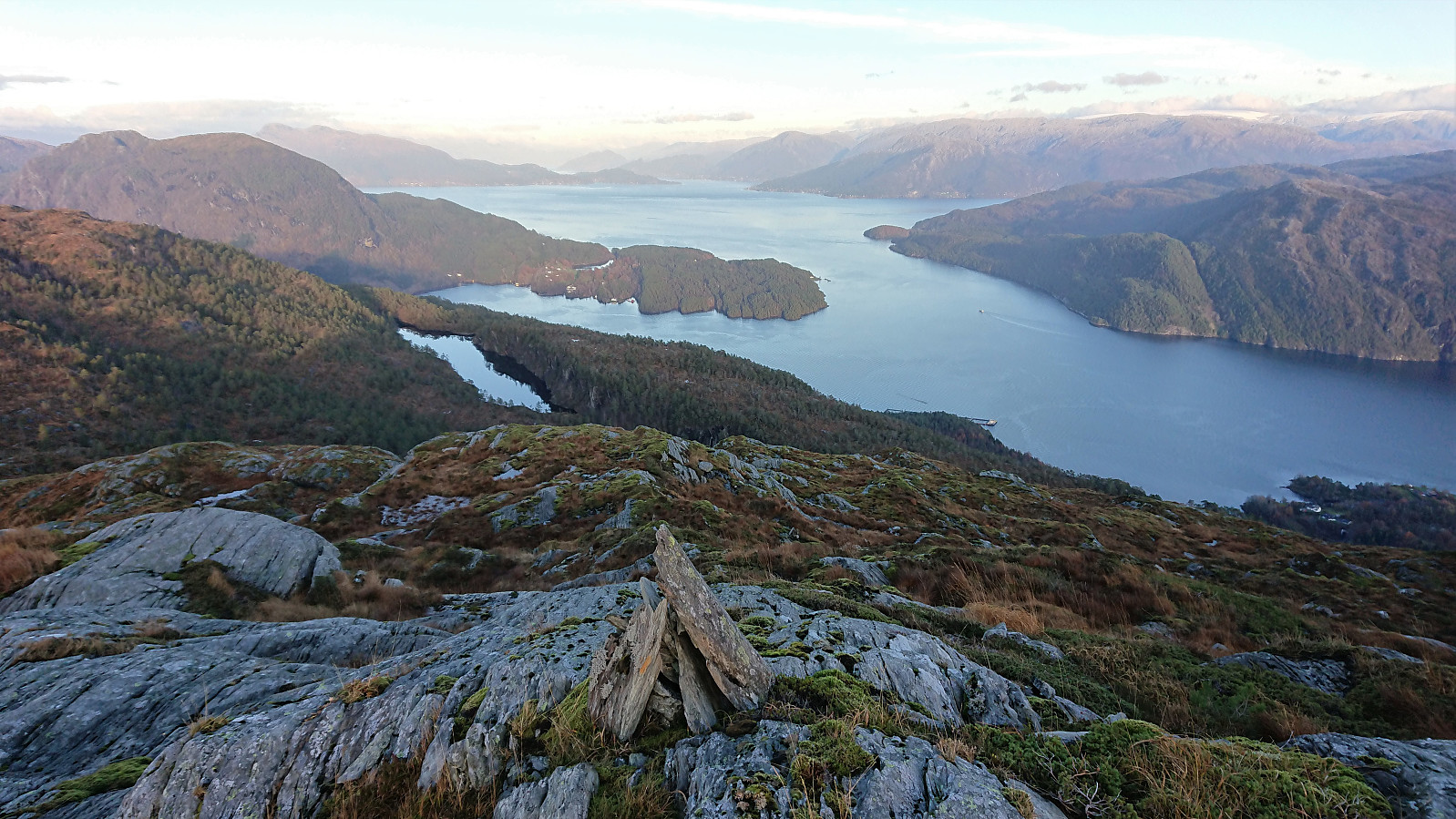
The summit provided excellent panoramic views, which were made even better by the sun finally deciding to appear. Due to a cold wind I however decided to delay the already late lunch break planned at the summit, and instead started my descent along the same route. By monitoring my speed, and finally having that late lunch break, I returned to the main road at Gravdal just as it was starting to get dark and had about 15 minutes to spare before the bus arrived to take me back to Bergen.
Overall, a very nice hike with excellent views from the summit. The lack of a trail, not to mention a marked trail, for about half of the hike probably means that Gravdalshorga does not see too many visitors though. But for those not afraid of heading off-trail the summit can still be reached without any real challenges.
| Start date | 31.10.2021 13:00 (UTC+01:00) |
| End date | 31.10.2021 16:58 (UTC+01:00) |
| Total Time | 3h 57min |
| Moving Time | 3h 30min |
| Stopped Time | 0h 27min |
| Overall Average | 2.6km/h |
| Moving Average | 2.9km/h |
| Distance | 10.2km |
| Vertical meters | 775m |


User comments