
Tofjellet from Straume (09.10.2021)

Skrevet av hbar (Harald Barsnes)

| Startsted | Straume (9moh) |
|---|---|
| Sluttsted | Straume (3moh) |
| Turtype | Fjelltur |
| Turlengde | 5t 49min |
| Distanse | 16,2km |
| Høydemeter | 1165m |
| GPS |
|
| Bestigninger | Tofjellet (837moh) | 09.10.2021 |
|---|---|---|
| Andre besøkte PBE'er | Dyvikstølen (491moh) | 09.10.2021 |
| Nesatræet (156moh) | 09.10.2021 | |
| Straumsdalen parkering (56moh) | 09.10.2021 | |
| Straumsstølen (262moh) | 09.10.2021 |
Tofjellet from Straume
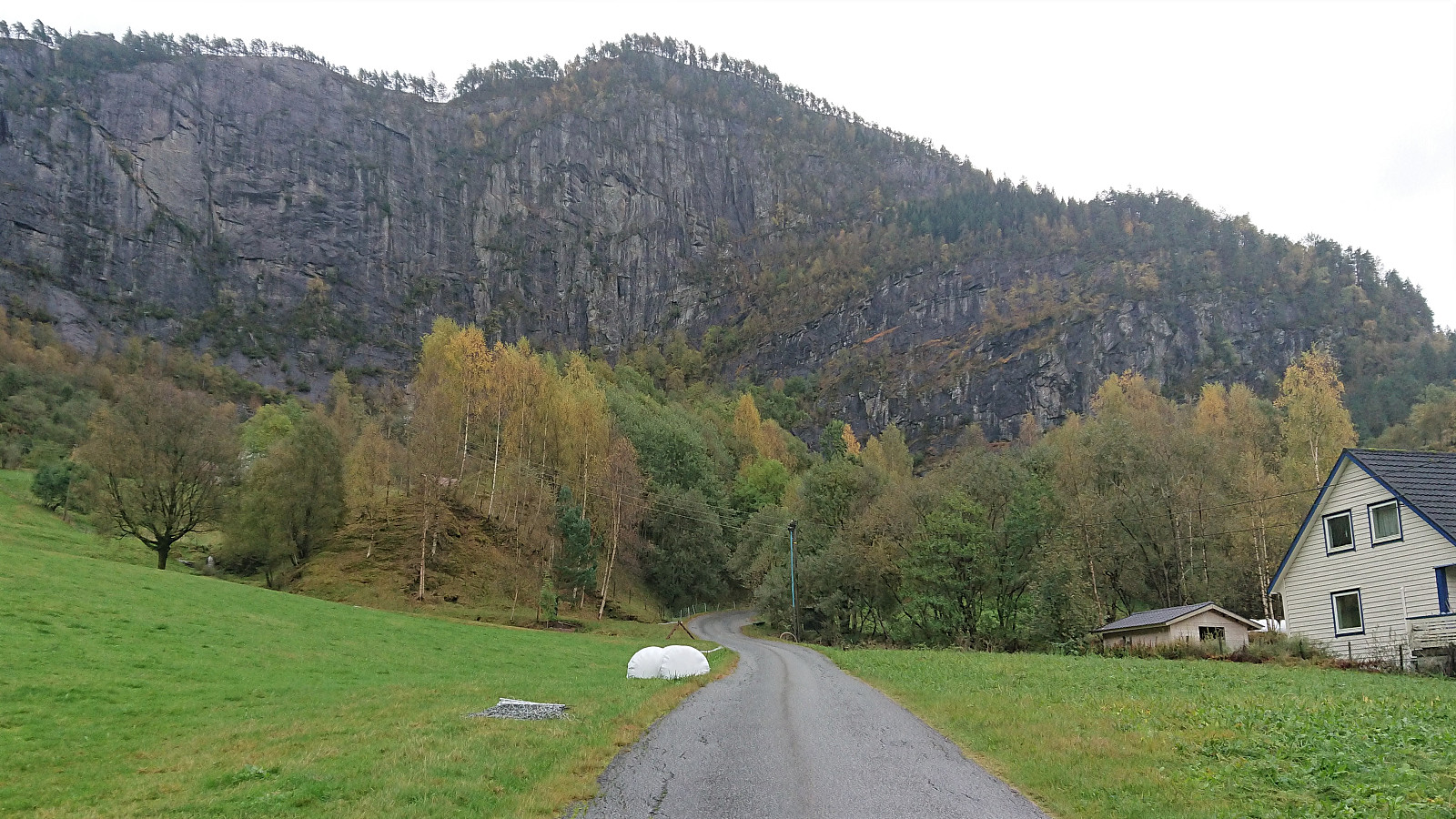
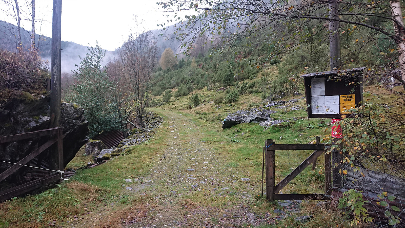

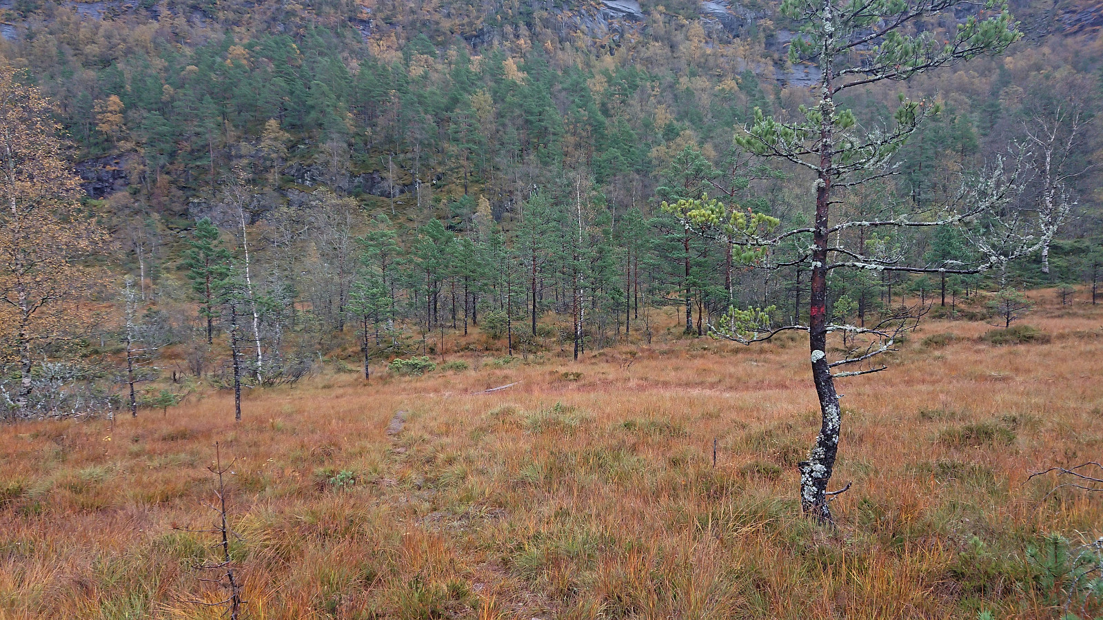
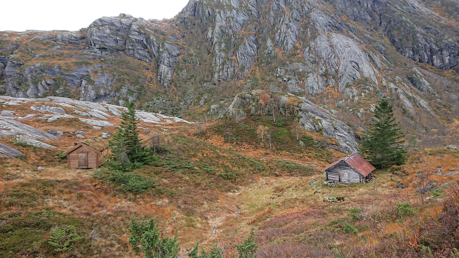
After a detailed study of the weather forecast combined with a search for possible peaks that could be visited in between the seemingly constant string of rain storms, I settled on Tofjellet and took the early morning train to Dale and the connecting bus to Straume. Armed with arntfla (Arnt Flatmo)'s external trip report I started up the tractor road to Nesatræet. Here I decided to try the trail passing by two of the remaining buildings and from there closely following the river on the way to Straumsstølen. The trail was overall easy to follow, but relatively wet at times.
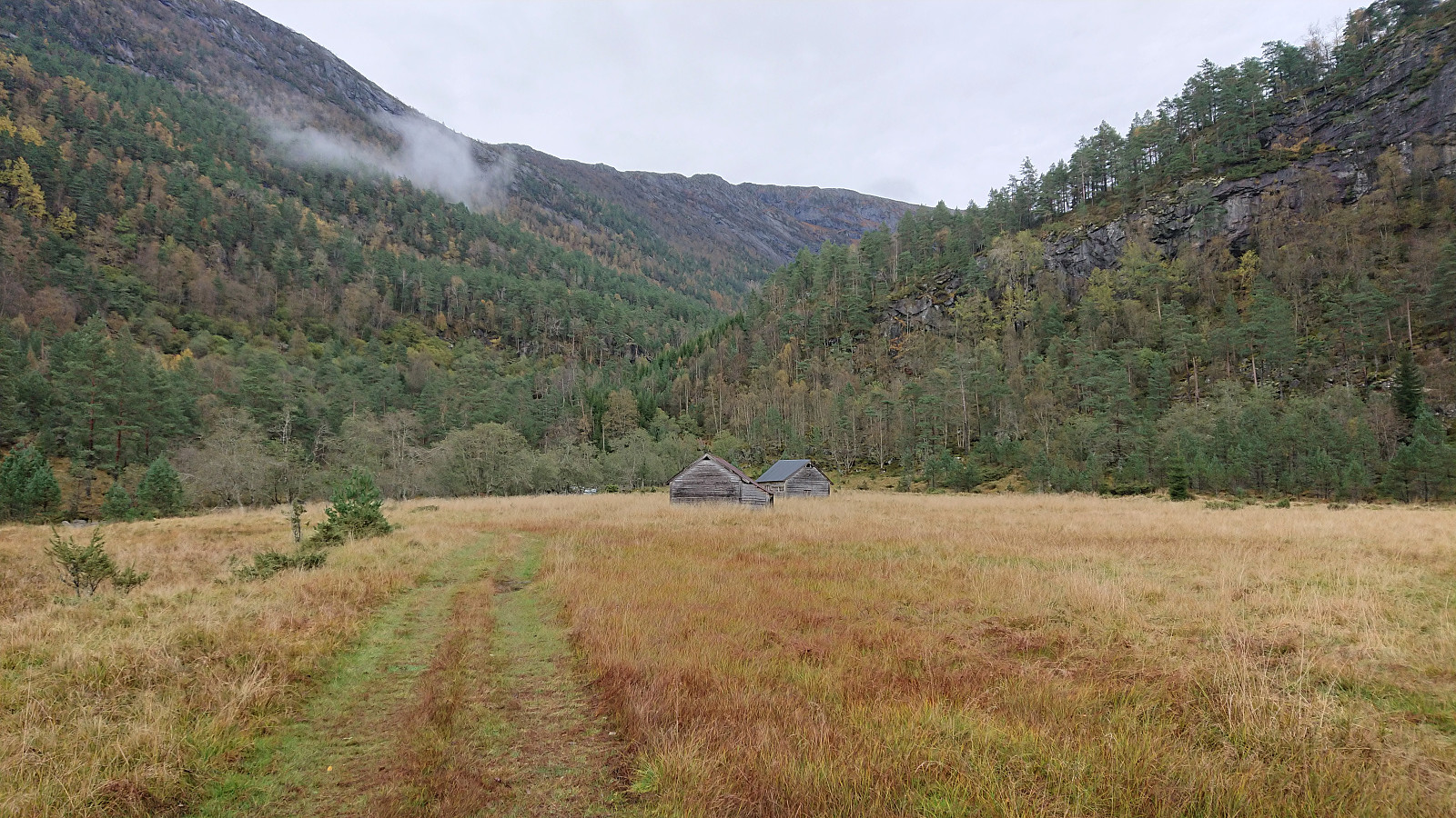
The trail soon merged with the tractor road and within not too long I arrived at Straumsstølen. Or rather, almost at Straumsstølen. There was the small matter of crossing the river. At first I thought I would have to wade across, as the bridge seemed to be missing. However, I thankfully looked around a bit first and quickly noticed an intact bridge (or rather bridges, as there were two of them) slightly further south. The river could therefore easily be crossed without getting wet.
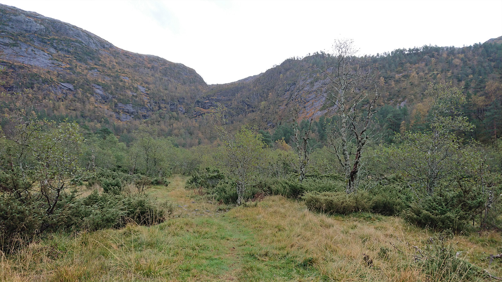
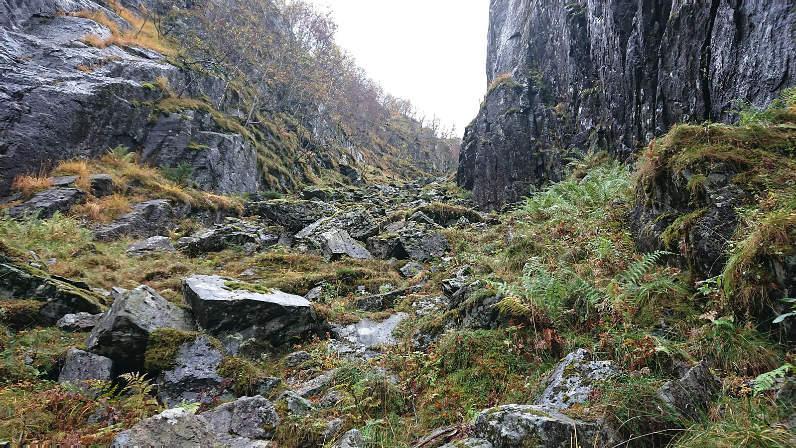
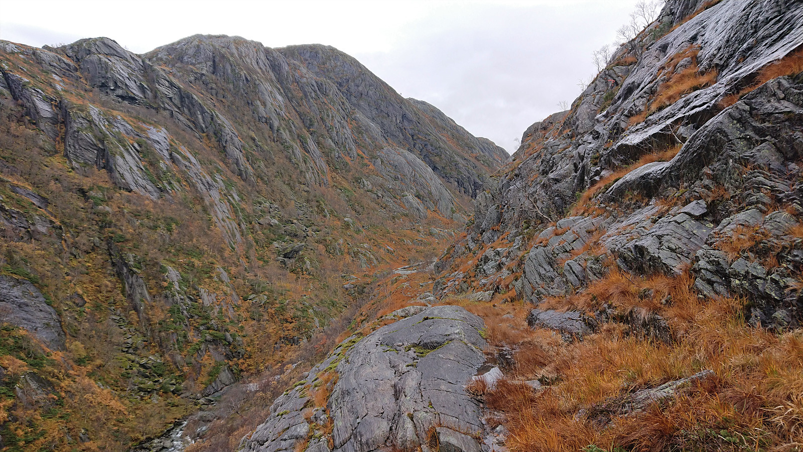
At Straumsstølen I struggled a bit to locate the trail and had to confer Arnt's map before locating the marked trail taking me southeast up a narrow pass filled with slippery boulders. Arnt refers to this as a "good trail". I'm not sure I would take it that far. But it was marked with red paint and it did make it relatively straightforward to reach the top of the pass. The markers were often much clearer than the trail itself though.
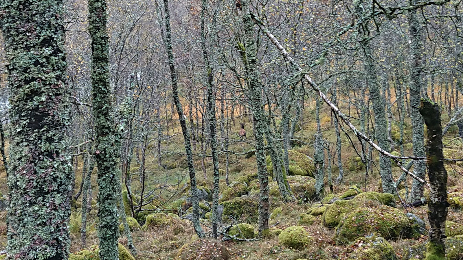
When both the trail and the markers disappeared completely at the top of the pass, it was therefore slightly more tricky to make progress. But again due to Arnt's map (where he refers to this section as "trail"), I knew that I simply had to keep close to the cliff on my left and head for a sway bridge that was hopefully still there. On my way to the bridge I came across a large deer, which I just managed to take a picture of before it ran away.
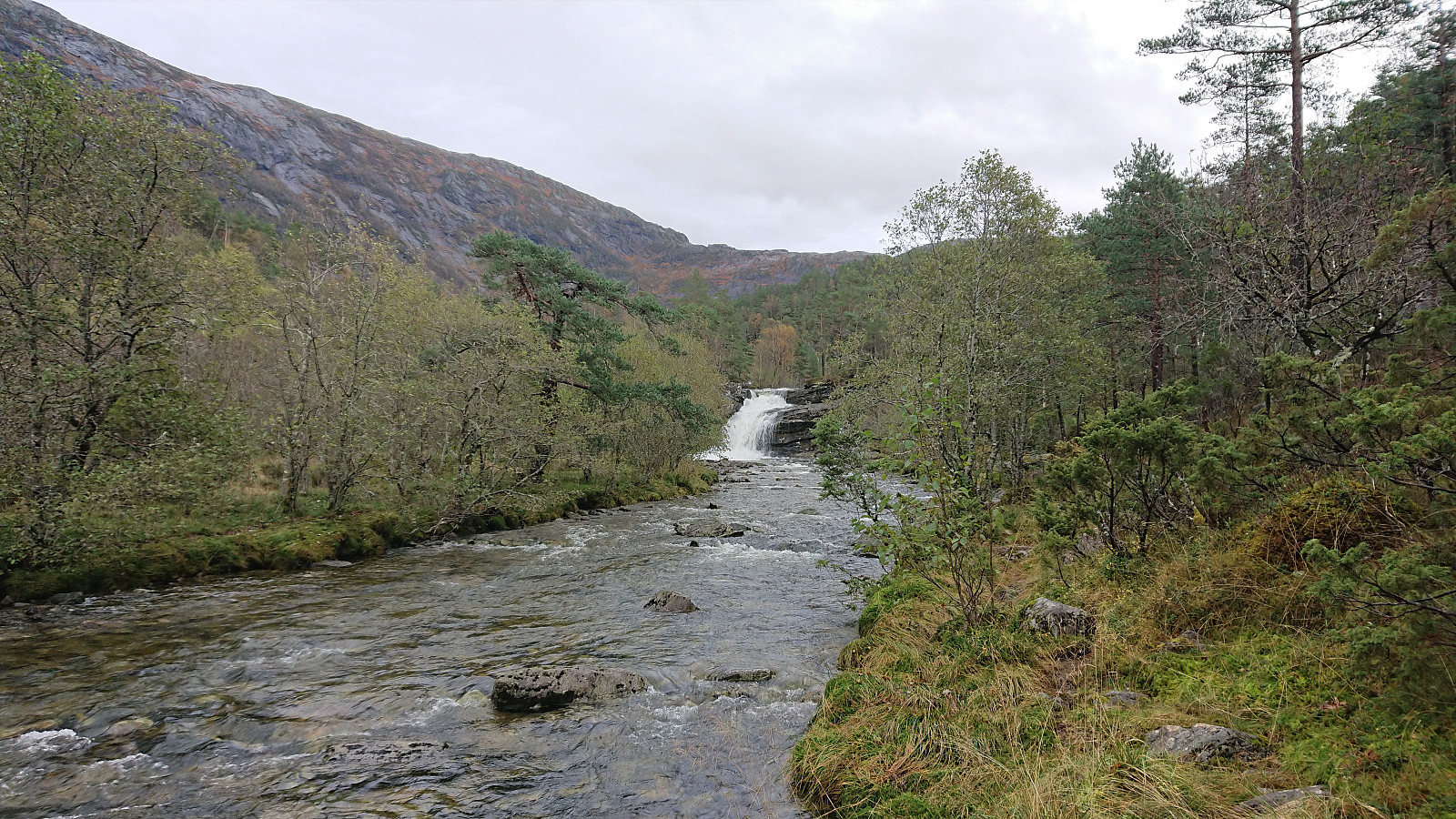
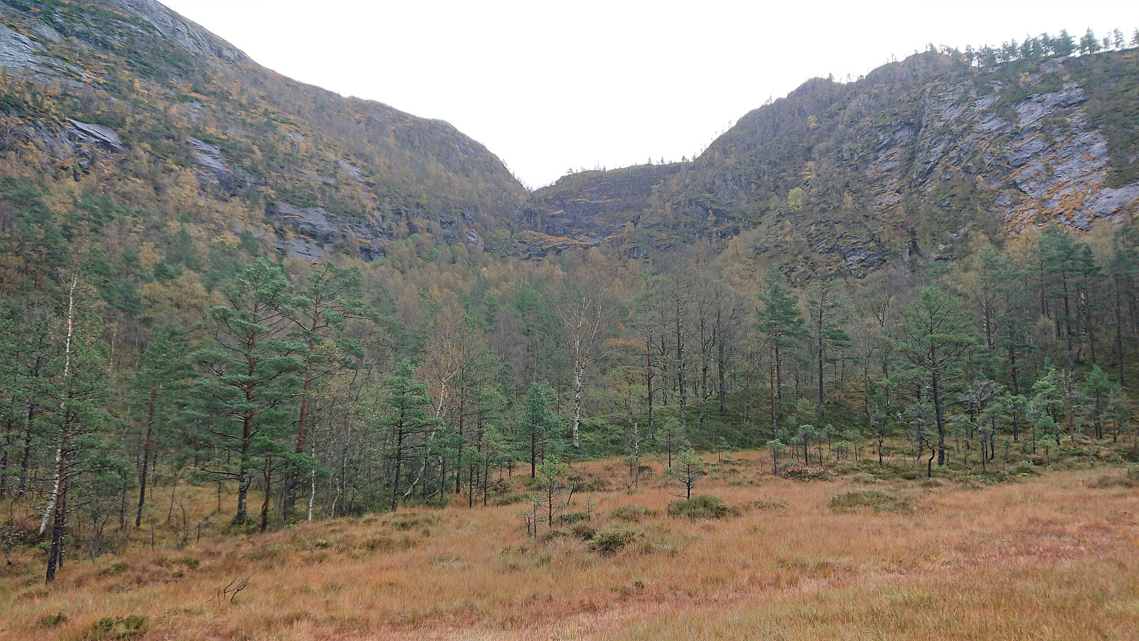
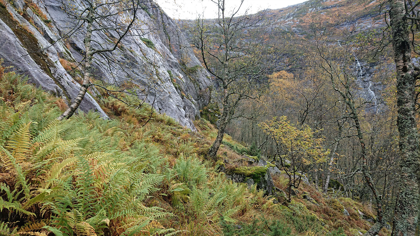
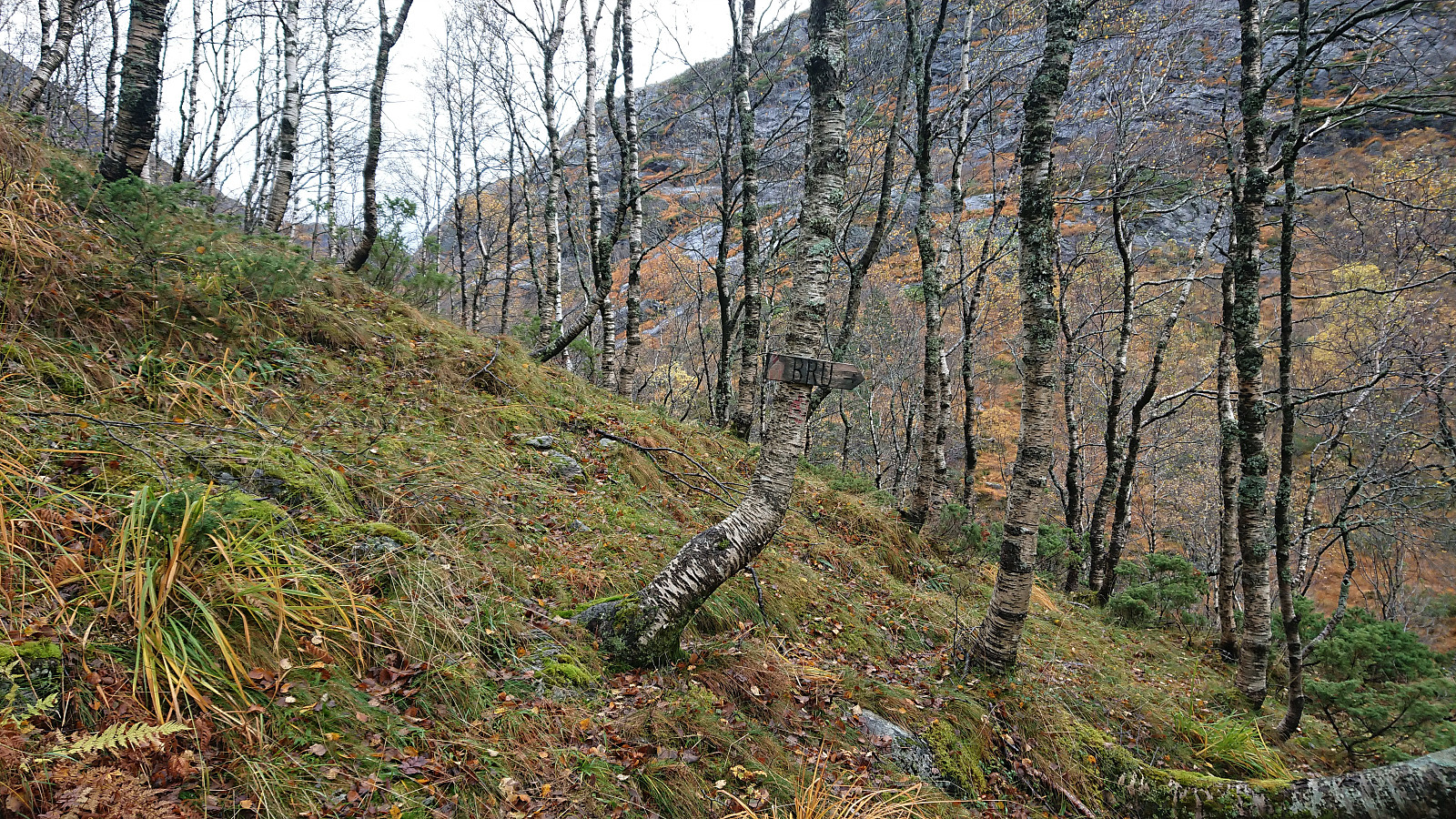
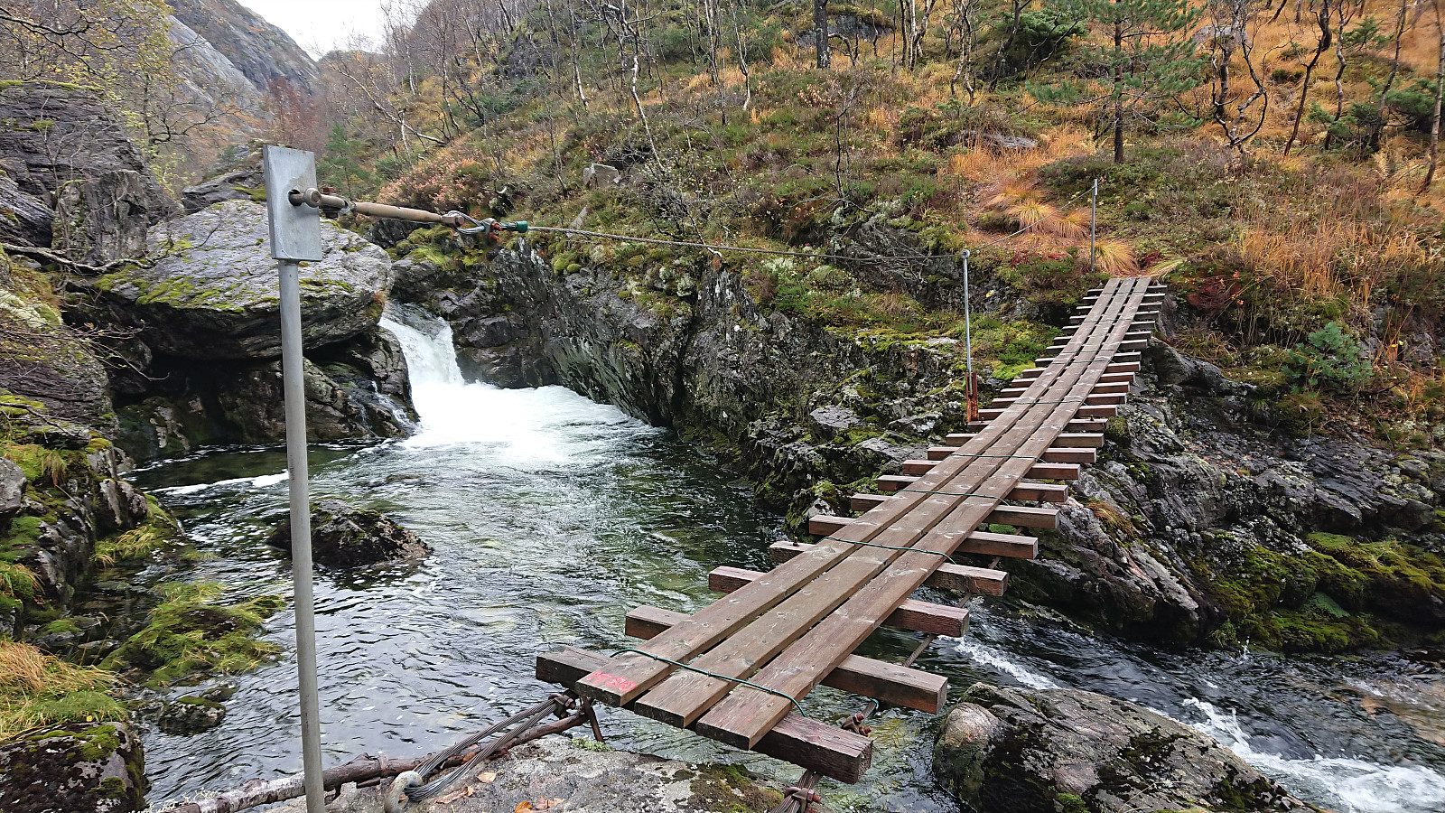
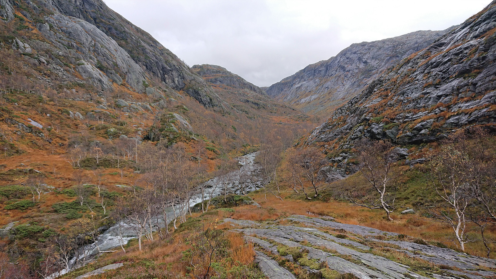
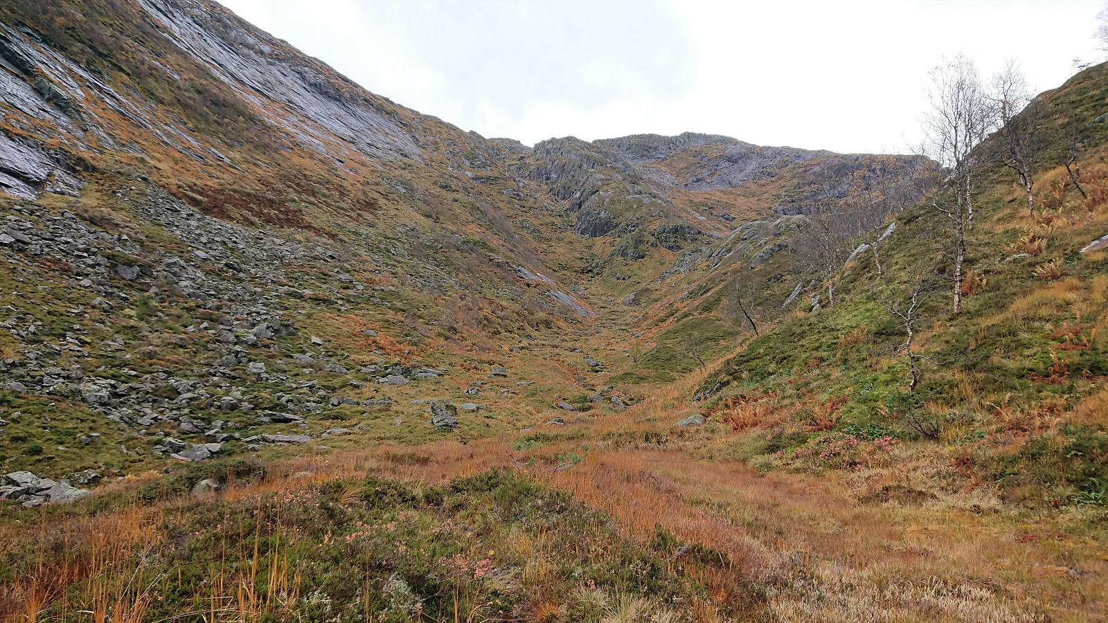
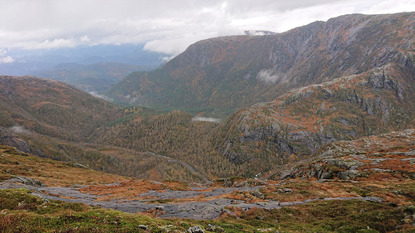
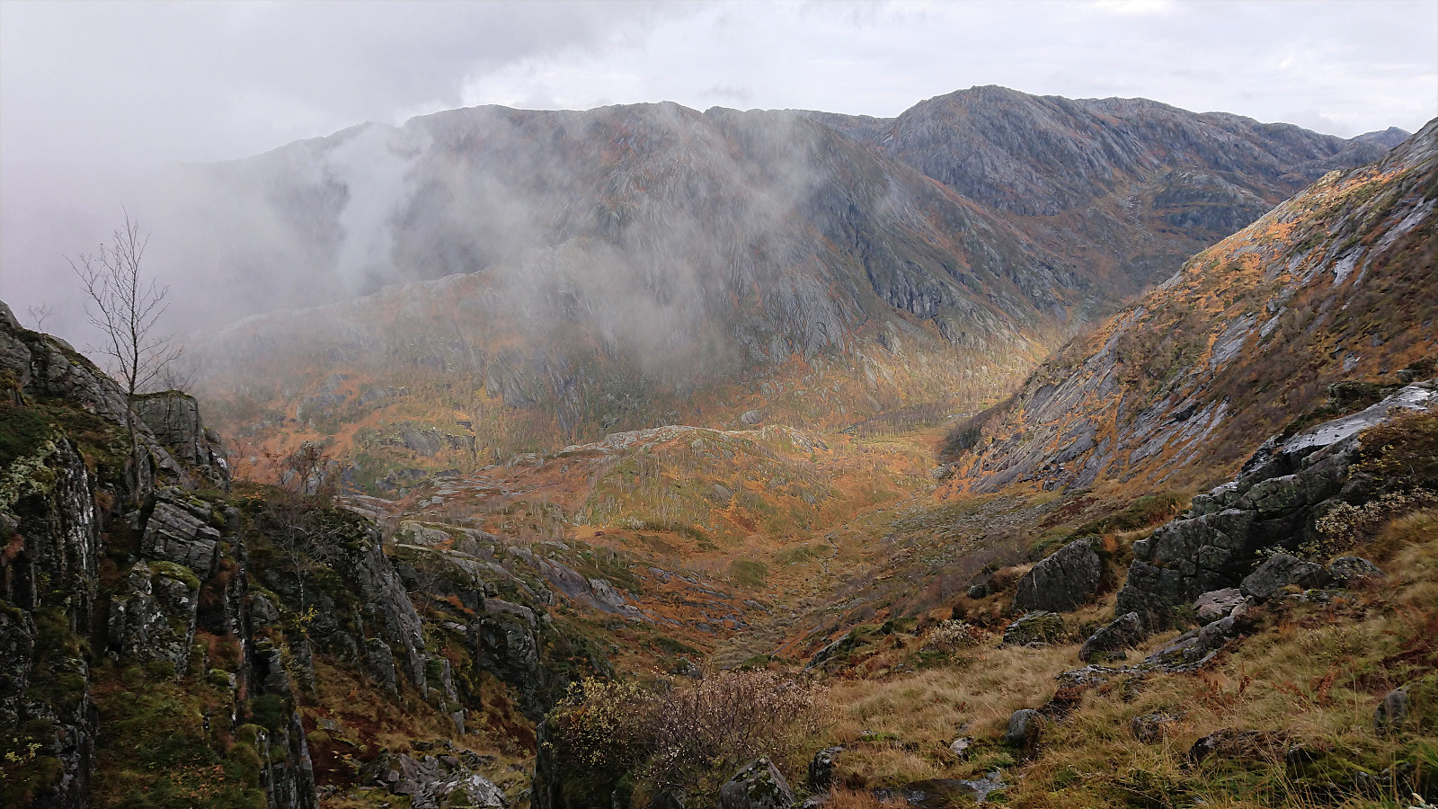
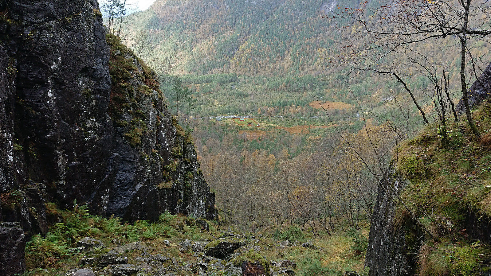
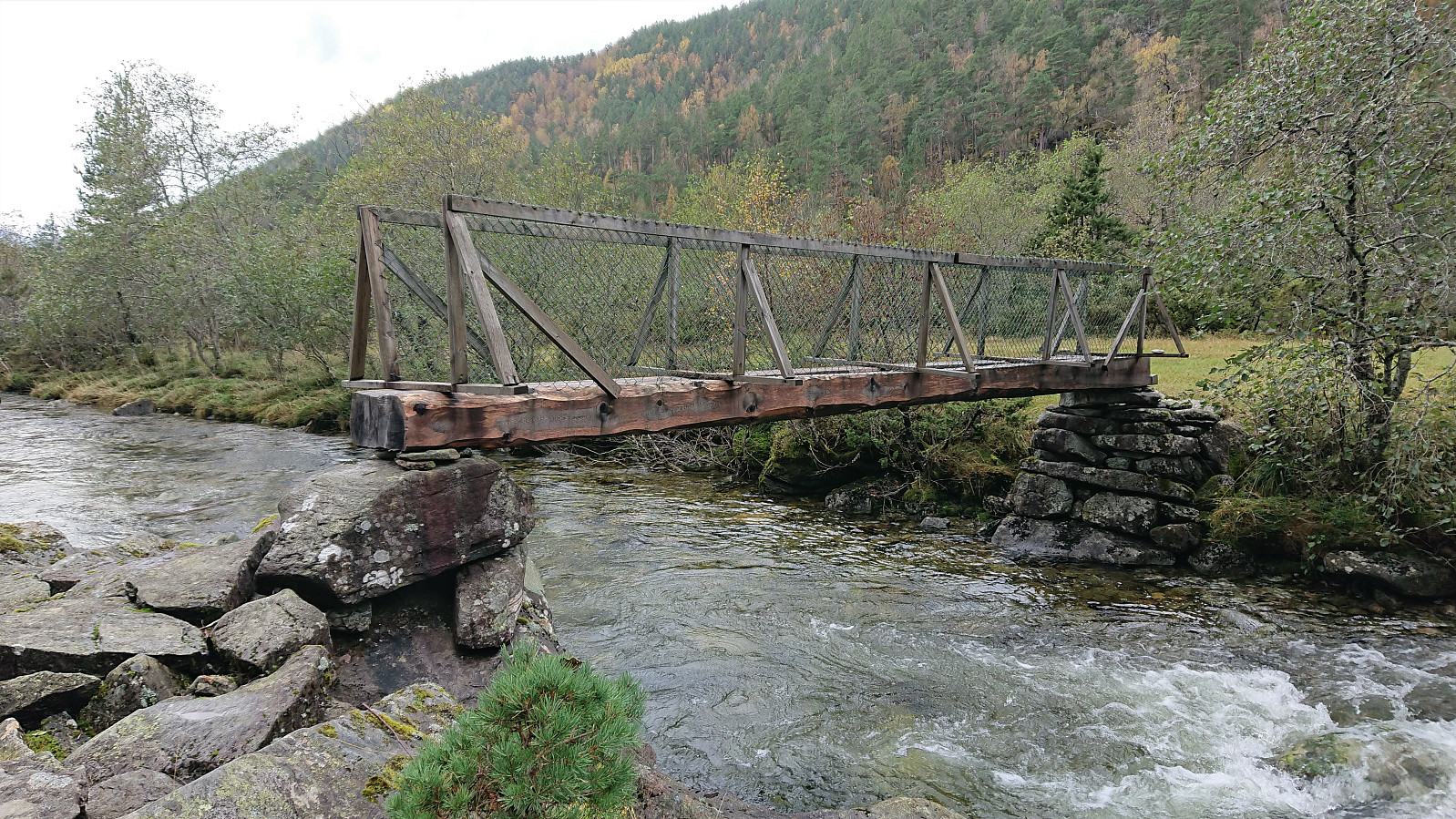
As I was getting closer to where I hoped the bridge would be, I came across a sign with "Bru", i.e. bridge. The first marker or sign since starting on the narrow pass. And thankfully the bridge was still there, and even though the year painted on it indicated that it was over 40 years old, built in 1980, it still held up and safely took me to the other side. Here the trail, which had shortly been visible from the sign to the bridge, again disappeared. But I quite easily made it onto the wide ledge that I knew I had to follow in order to get to Dyvikstølen. This was the nicest part of the hike, with the roaring river first far down into the valley to my left and then later close to the trail.
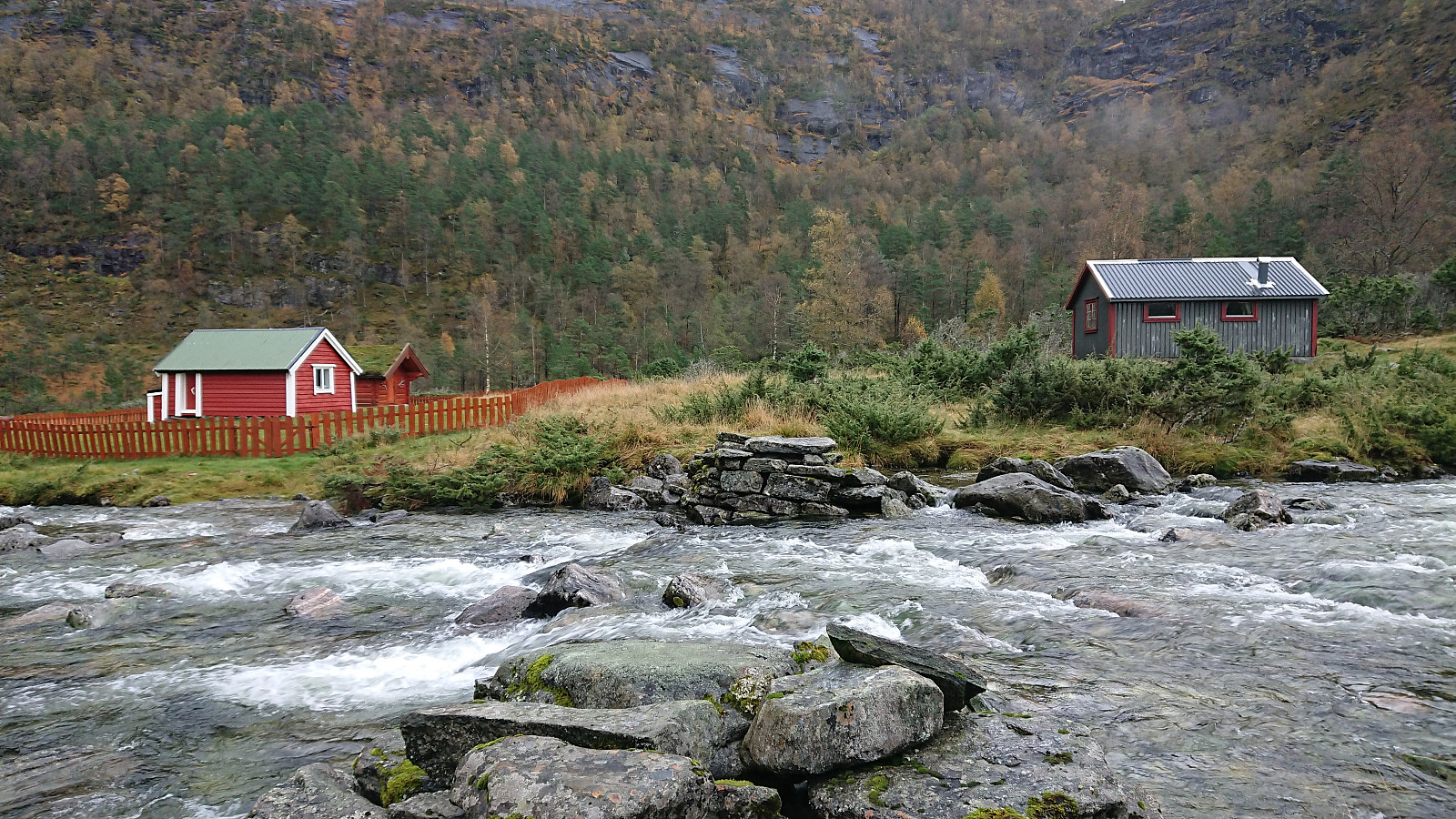
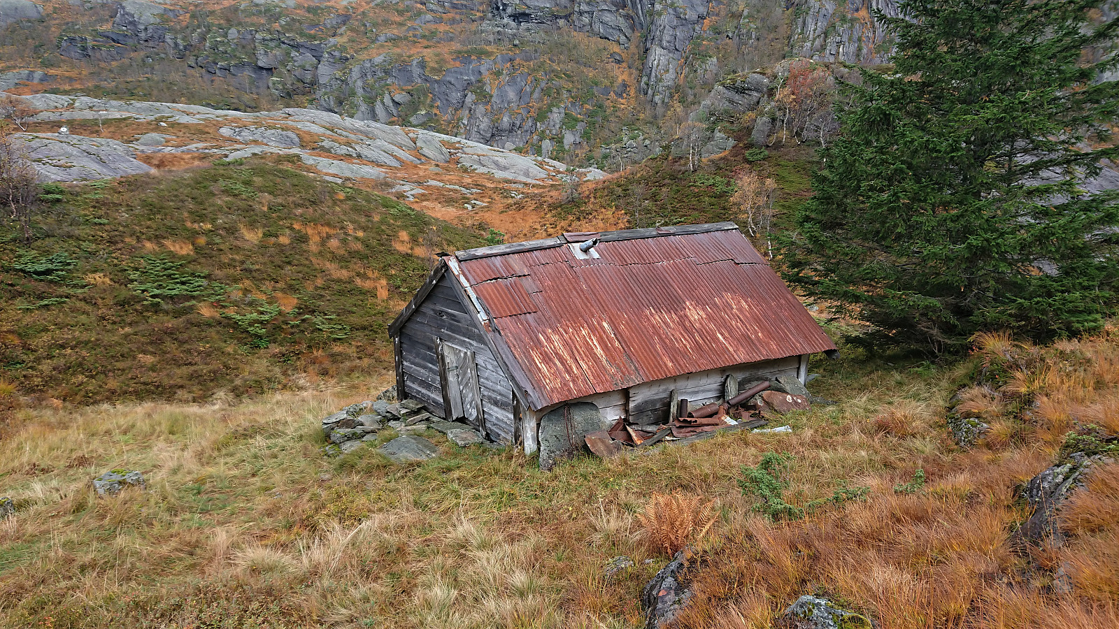
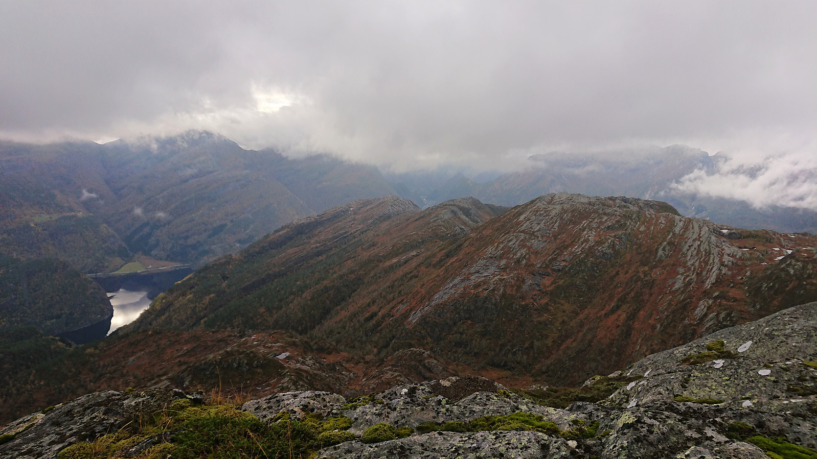
In the end, Dyvikstølen was, due to Arnt's report, reached without any real difficulties. Dyvikstølen now consisted of two cabins, one old that looked in need of repair and one that seemed relatively new. I however did not stay long before continuing off-trail up the gorge towards Tofjellet. Having come up above the tree line it was now pretty easy to make progress and overall there were no difficult or steep sections that could not easily be avoided. There were even three more deer in the distance showing me the way.
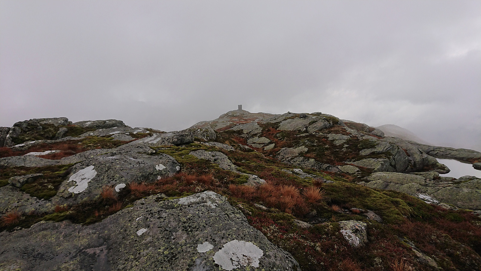
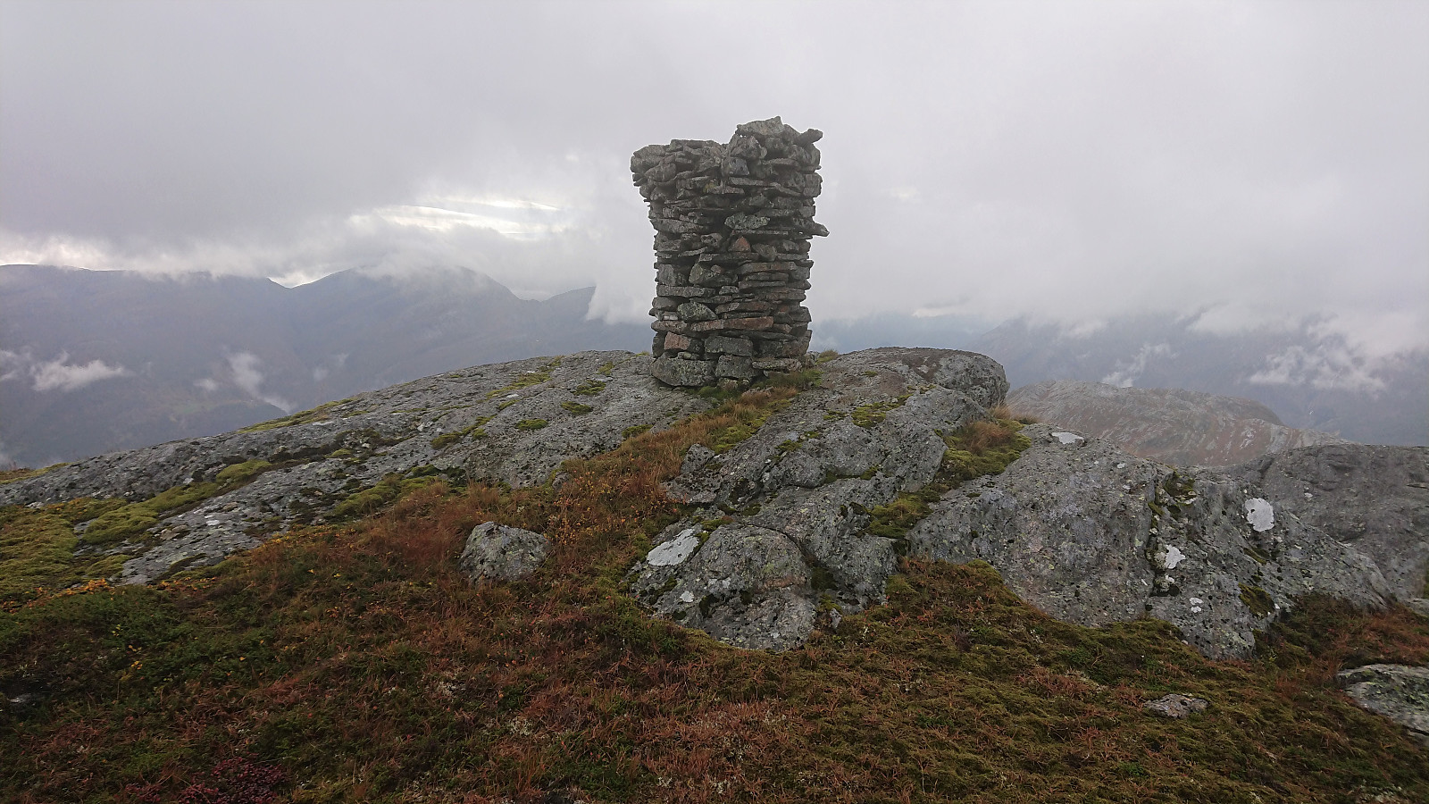
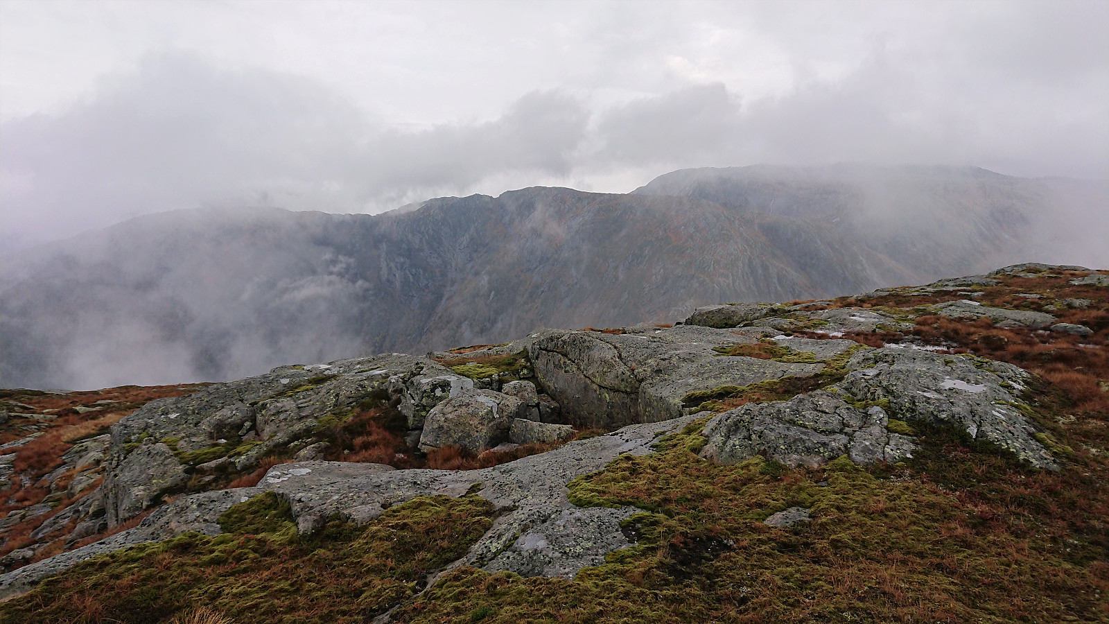
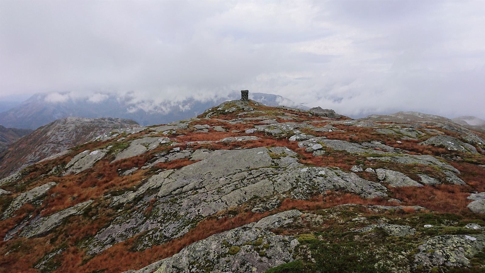
As I approached the summit, sadly so did the fog, and I was afraid that it would be a repeat of my recent trip to Vesoldo. But thankfully this time the fog never got as dense and as I ate my lunch in the shelter of the large cairn, it came and went, thus providing ample opportunity to at least get a feeling for what the views must be like up here on a clear day.
I returned along more or less the same route down to Dyvikstølen and from there followed the same path back to Straumsstølen, although I think that perhaps I managed to locate the weak traces of what was left of the trail from the bridge to the top of the pass. Did not really make a big difference though. I also went for the tractor road option when getting close to Nesatræet, which was a nice and less wet alternative to the trail used on the ascent.
In summary, this was a very enjoyable hike that can be highly recommended to perhaps slightly more experienced hikers that do not fear leaving the marked trails behind. If you want a short and easier hike, a visit of Straumsstølen can also be recommended. And finally, a big thanks to Arnt for his detailed trip report! Not sure I would have attempted this hike without it. Even though it also became clear that a lot can happen with regards to trail quality when it is close to 20 years since the original report was written.

| Starttidspunkt | 09.10.2021 09:42 (UTC+01:00 ST) |
| Sluttidspunkt | 09.10.2021 15:32 (UTC+01:00 ST) |
| Totaltid | 5t 49min |
| Bevegelsestid | 5t 14min |
| Pausetid | 0t 35min |
| Snittfart totalt | 2,8km/t |
| Snittfart bevegelsestid | 3,1km/t |
| Distanse | 16,2km |
| Høydemeter | 1165m |


Kommentarer