
Nedstaheia, Haukheia and Storenuvarden (02.10.2021)

Written by hbar (Harald Barsnes)

| Start point | Arna terminal (8m) |
|---|---|
| Endpoint | Arna terminal (8m) |
| Characteristic | Hillwalk |
| Duration | 2h 29min |
| Distance | 9.0km |
| Vertical meters | 339m |
| GPS |
|
| Ascents | Haukheia (180m) | 02.10.2021 |
|---|---|---|
| Litlenuvarden (172m) | 02.10.2021 | |
| Nedstaheia (164m) | 02.10.2021 | |
| Storenuvarden (212m) | 02.10.2021 | |
| Visits of other PBEs | Arna stasjon (8m) | 02.10.2021 |
| Kvernafossen (100m) | 02.10.2021 |
Nedstaheia, Haukheia and Storenuvarden
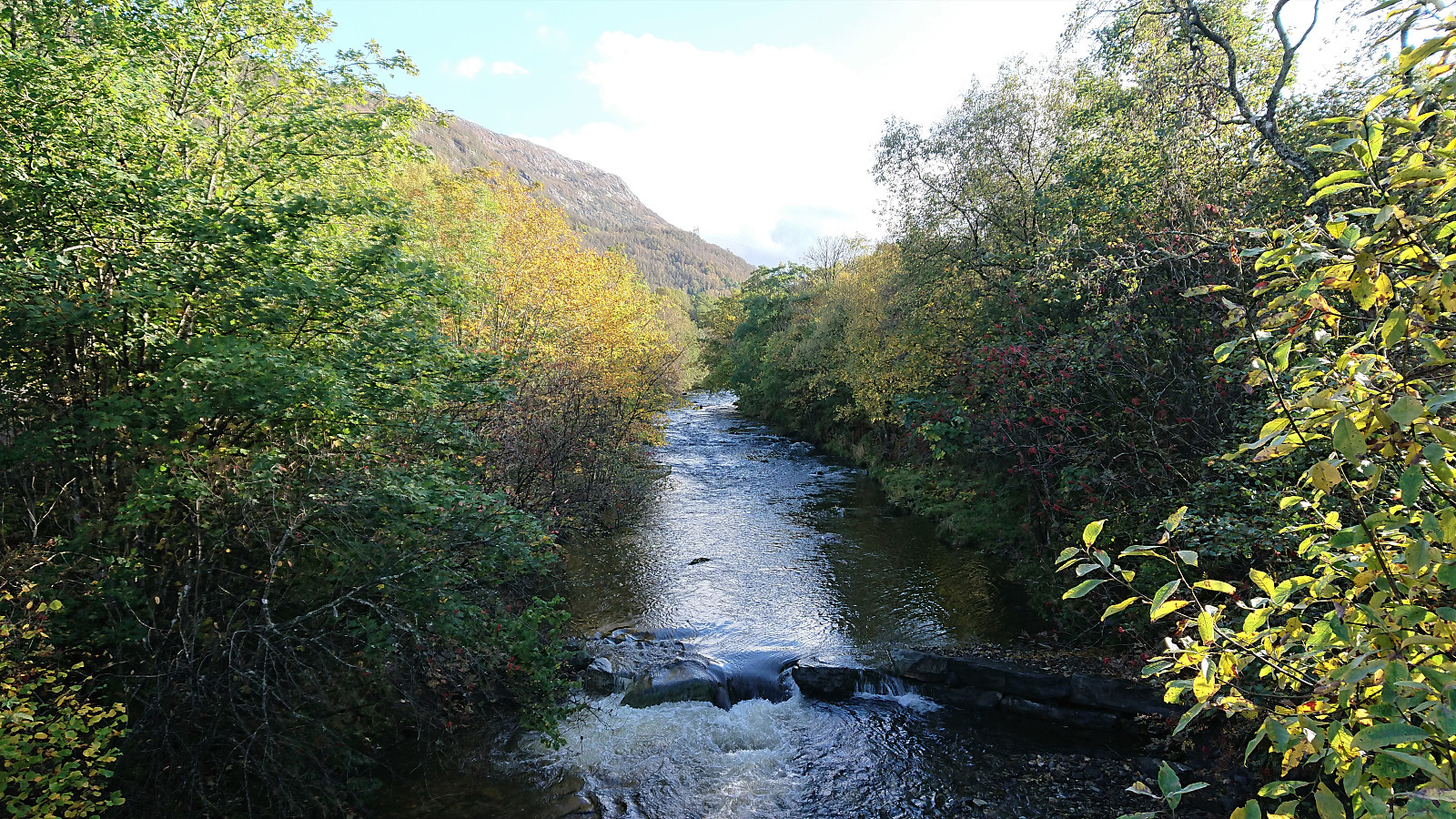
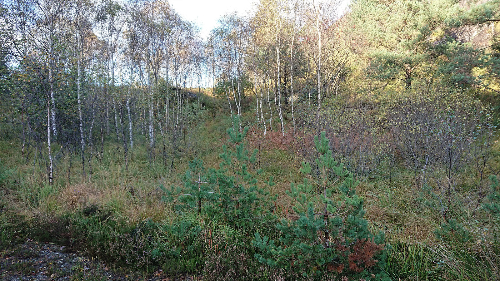
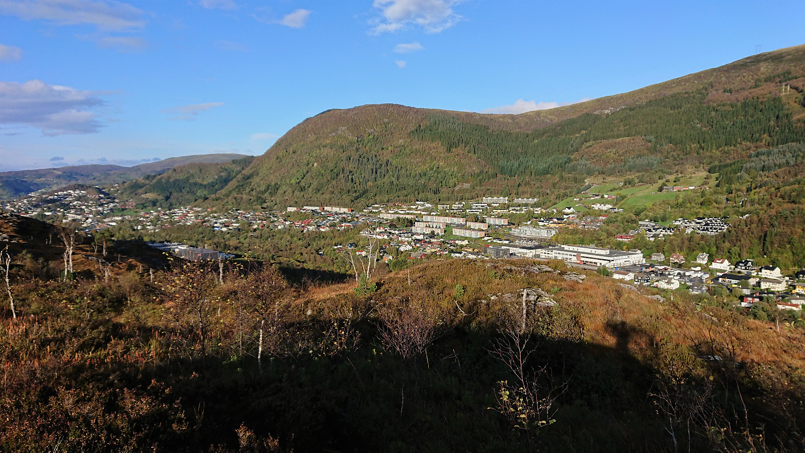
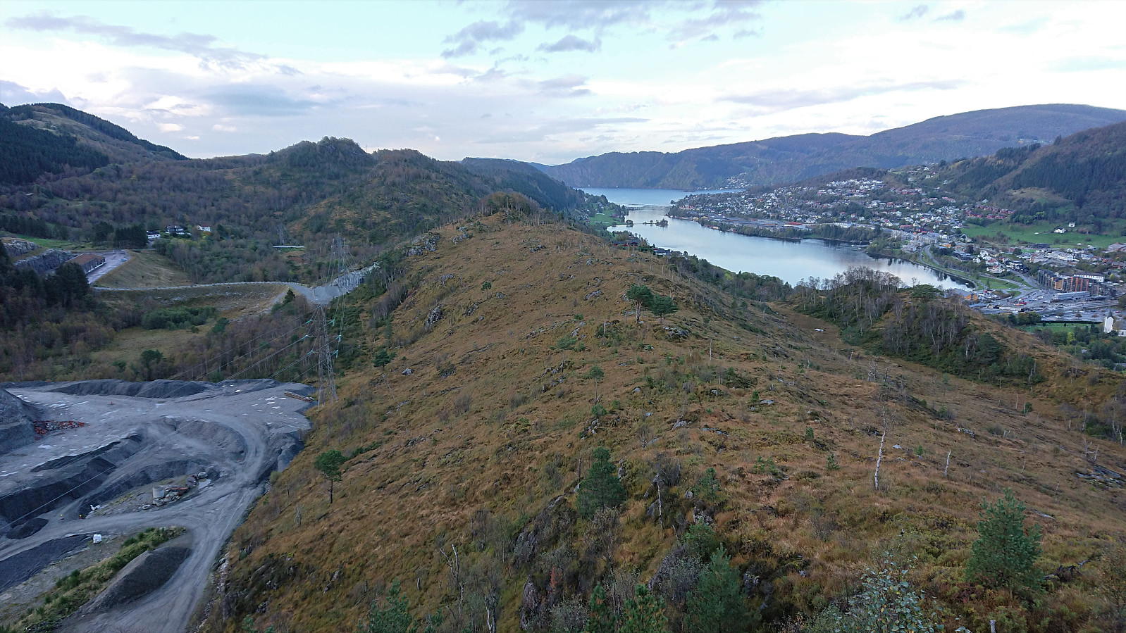
Ever since my abandoned attempt at ascending Nedstaheia a couple of months earlier, I had been thinking about having another go. This time I did not come by bike though, rather by bus, and the hike therefore started from Arna terminal, from where I followed the river south towards the unmarked trailhead south of Nedstaheia. I thus easily returned to where the map indicates a trail heading towards Nedstaheia, and where my last attempt was abandoned.
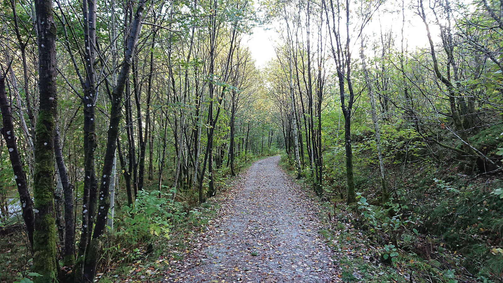
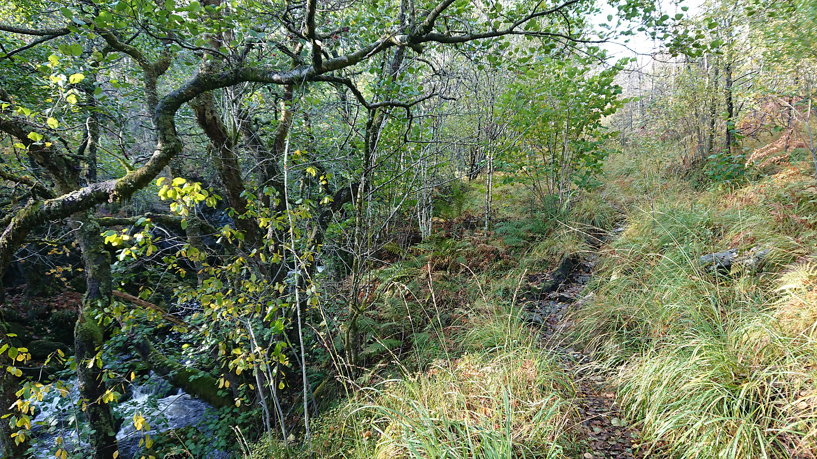
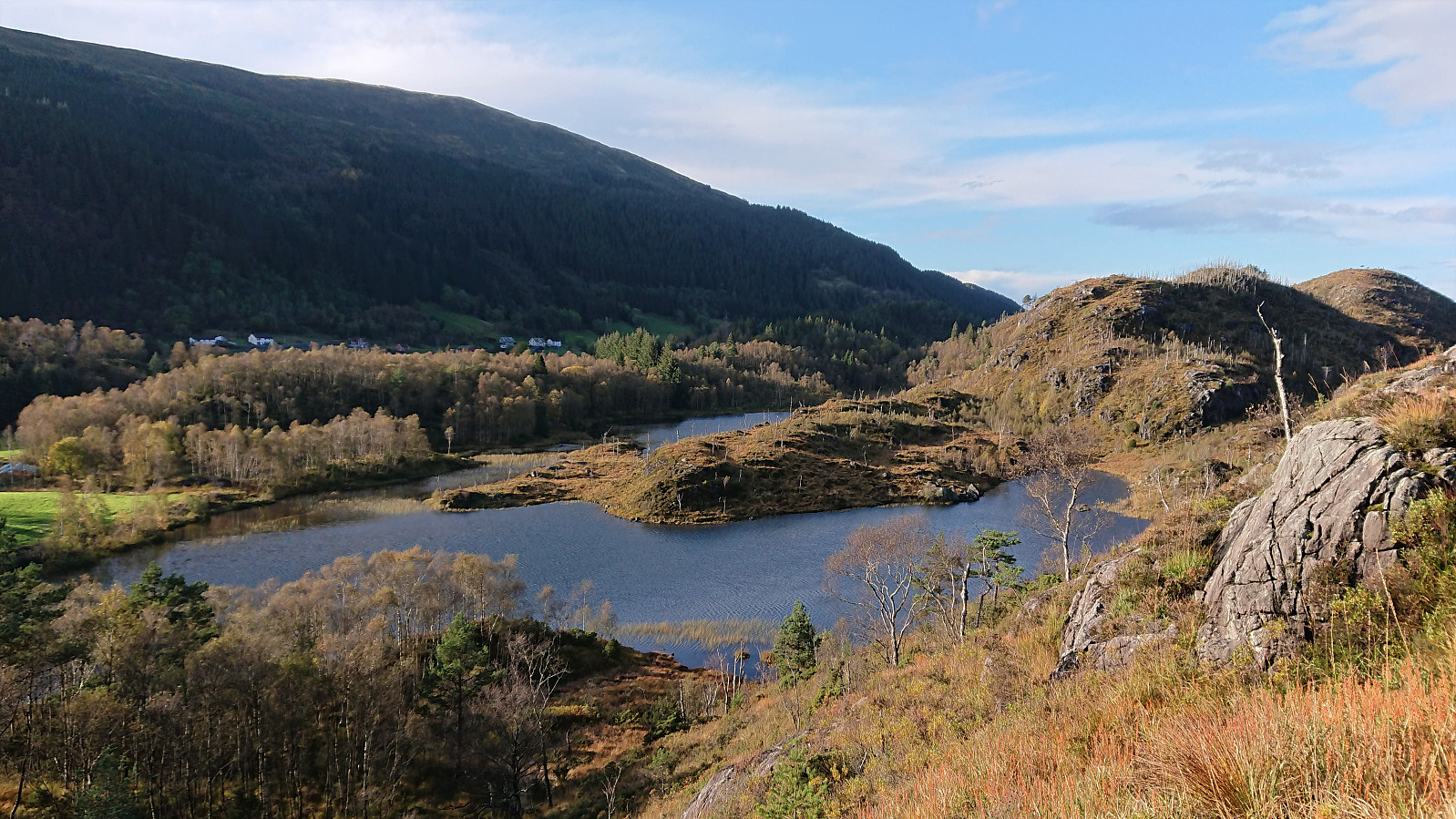
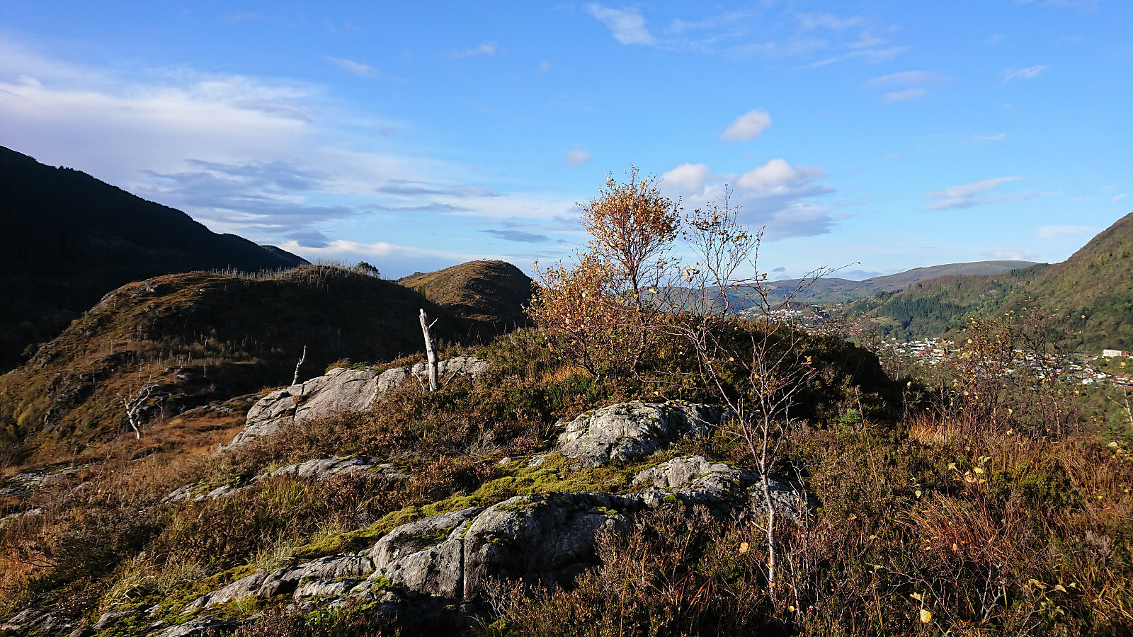
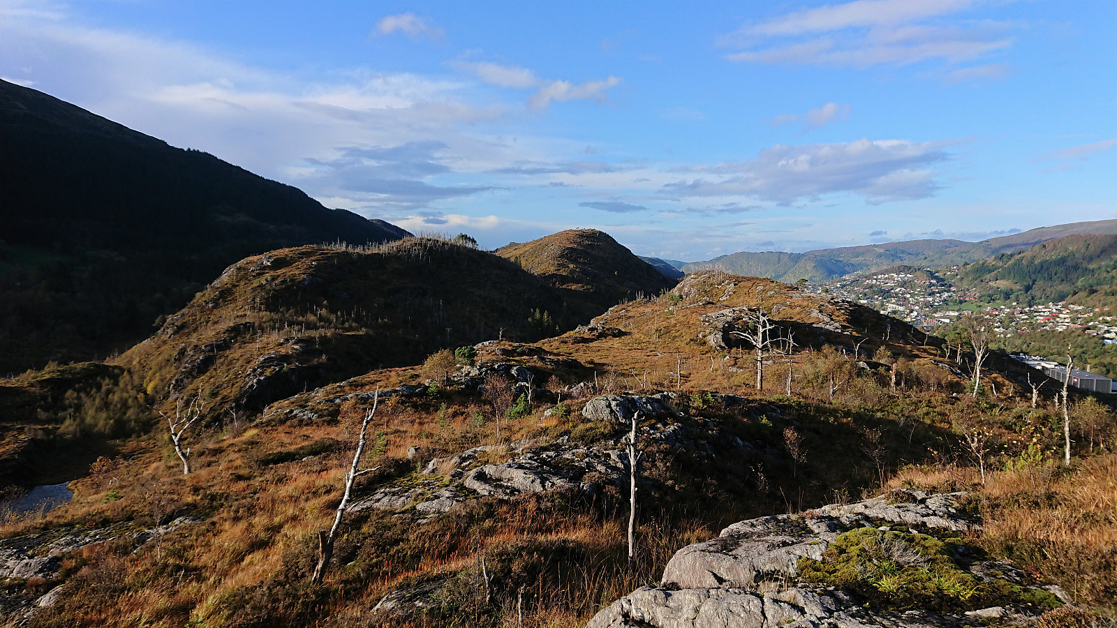
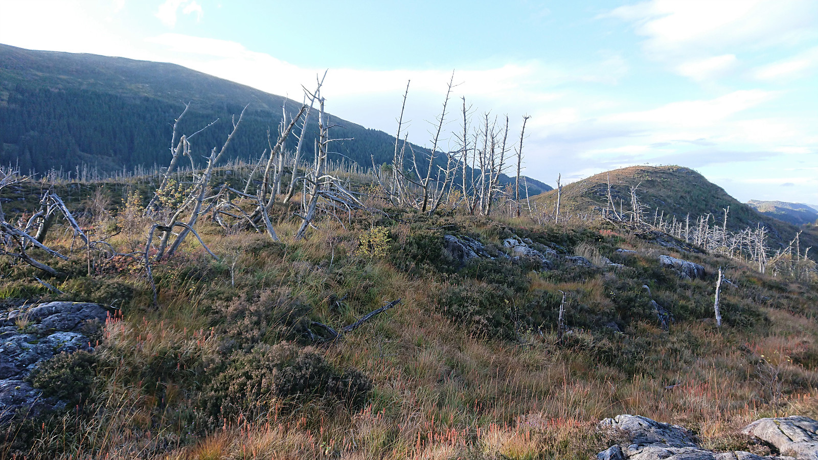
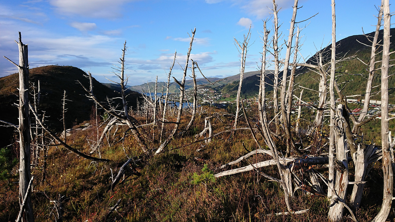
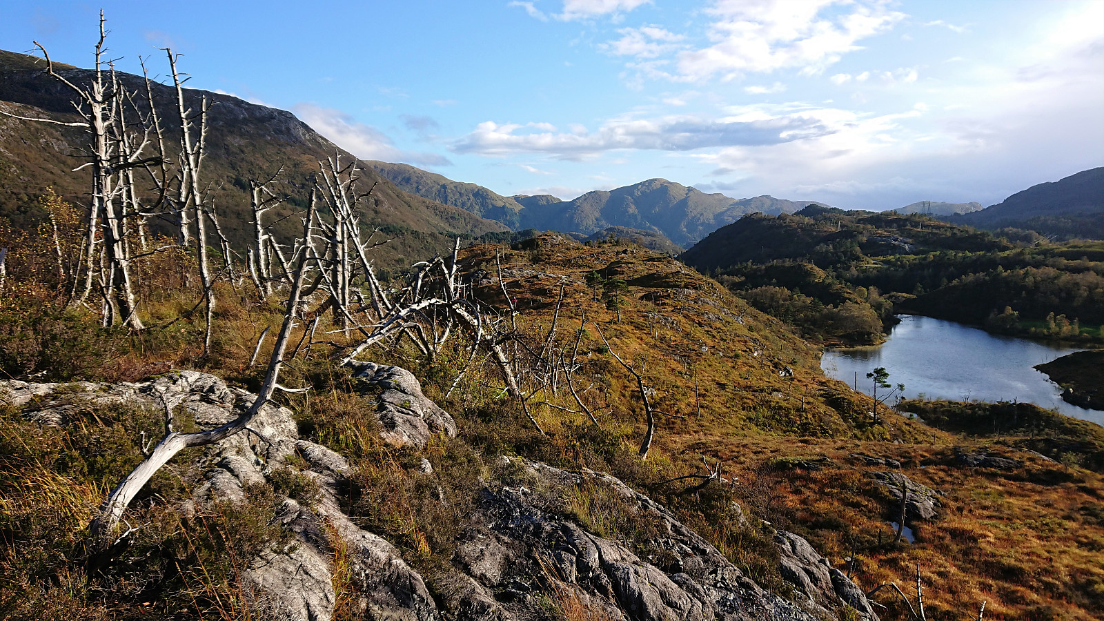
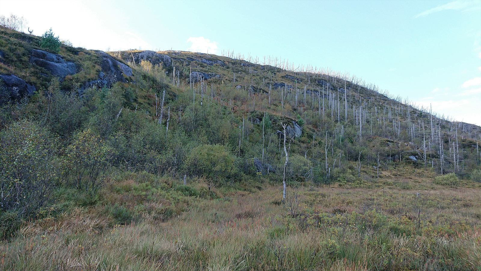
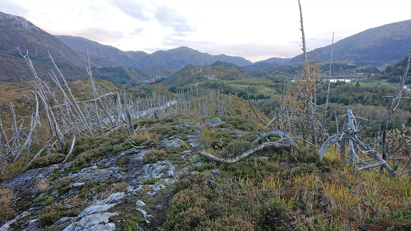
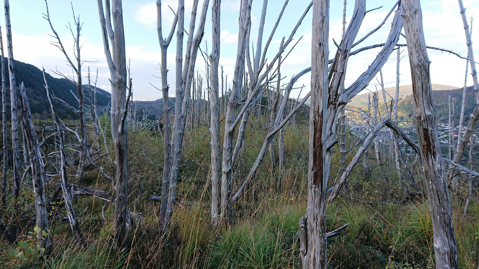
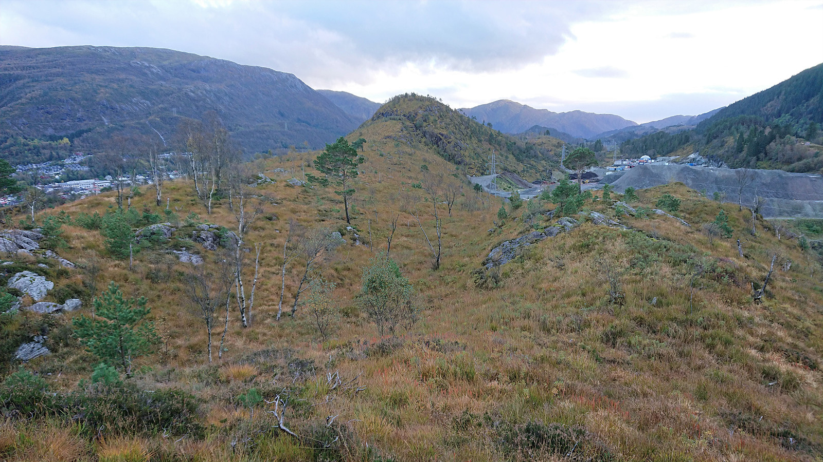
As expected, the trail was not easier to see today either, but I am pretty sure there must have been a trail here at some point, perhaps it is just not being used anymore. There were however some weak traces that could be followed and overall it was in the end straightforward to reach the summit, which provided good views in all directions. From the summit, I continued north, partly following a weak trail, to the slightly lower northern summit, before heading off-trail towards Haukheia.
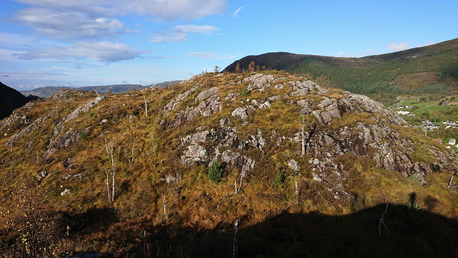
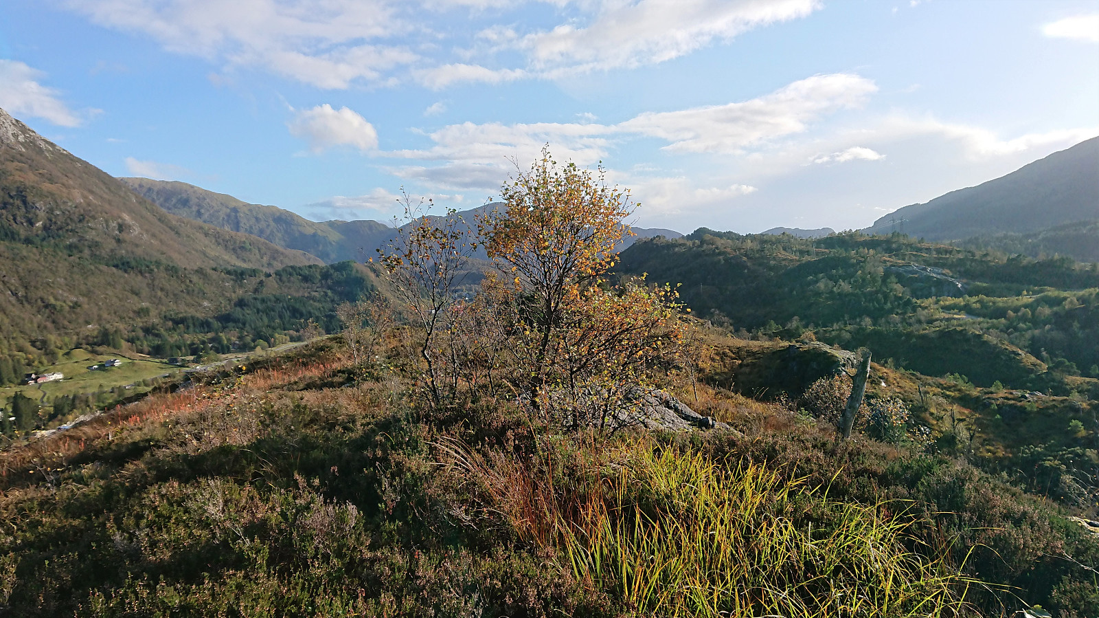
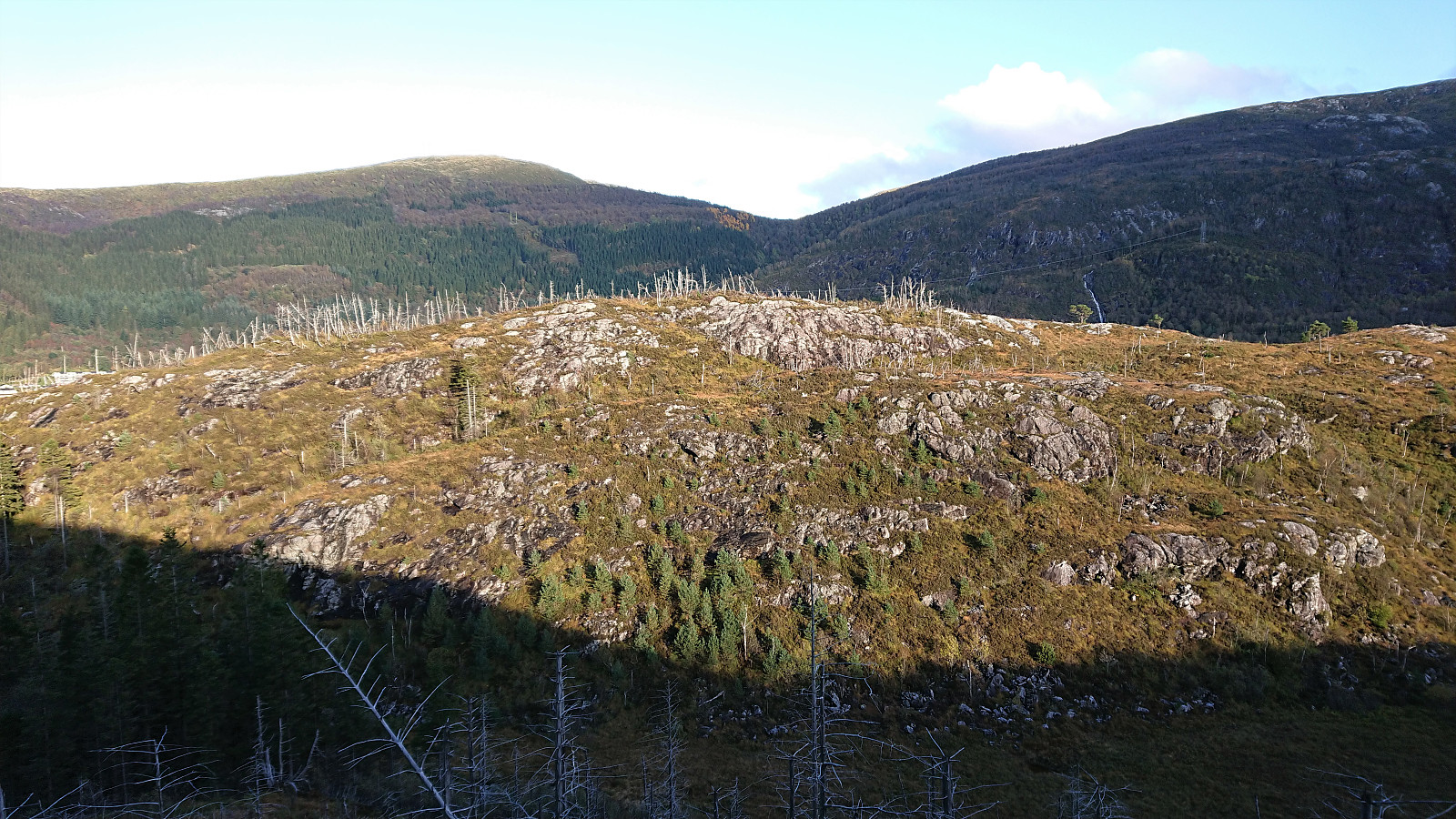
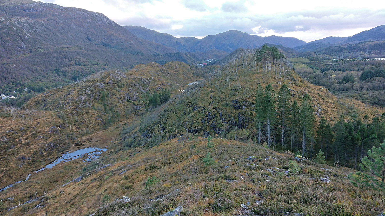
After a quick visit of the highest point at Haukheia, I still had plenty of time before the return bus at Arna terminal, and therefore added a revisit of Storenuvarden on my way to the bus stop. From my previous visit I remembered having to do a bit of scrambling when ascending the summit from the north, but this time I found an easier route that avoided the scrambling by heading slightly further west.
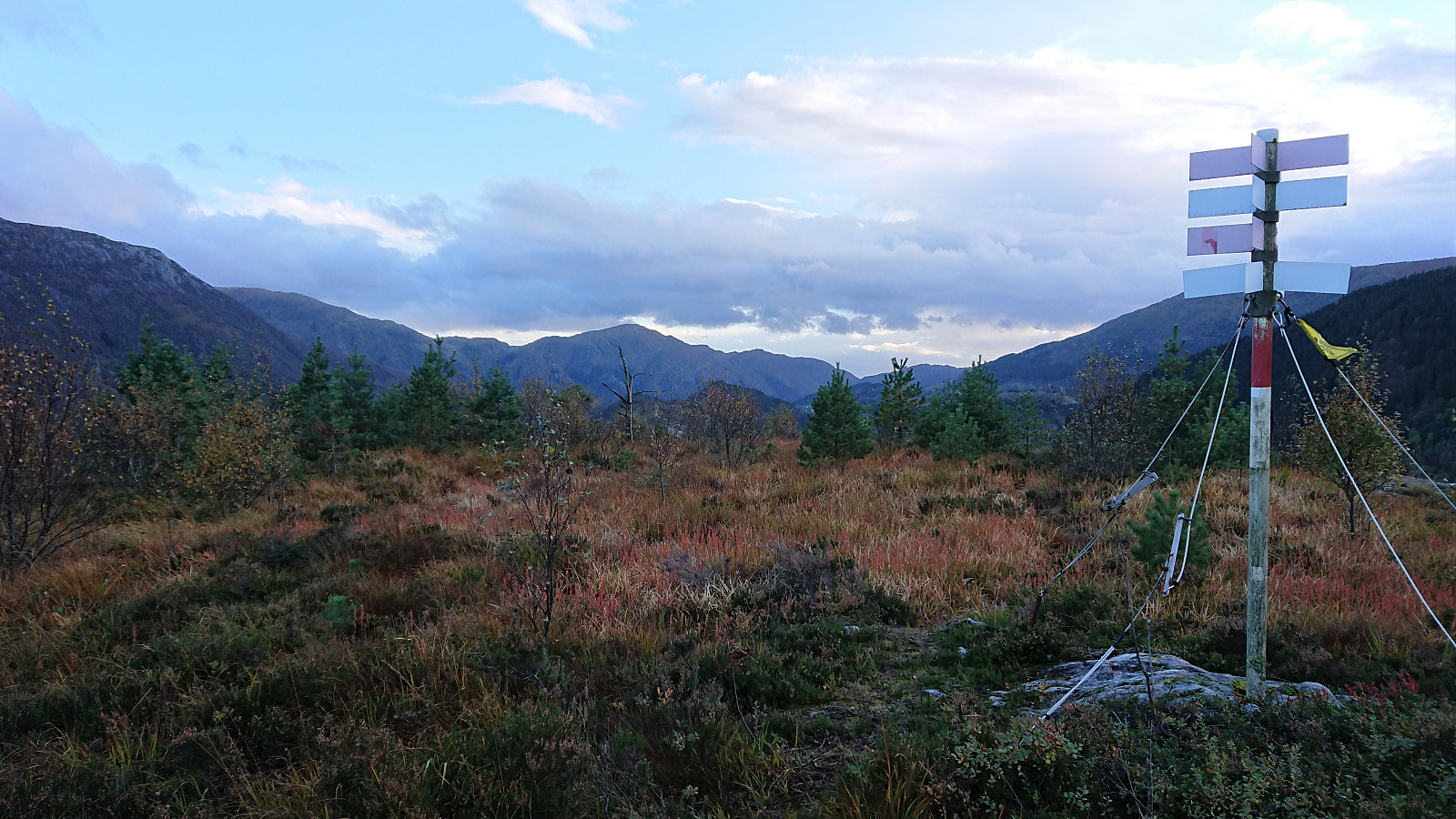
I also made a quick visit of the highest point at Litlenuvarden in case it at some point will be added to the Alle topper i Bergen list (it only has a PF of around 6 meters though).
Overall, a nice short trip in an area that probably does not see lots of hikers.
| Start date | 02.10.2021 15:54 (UTC+01:00 DST) |
| End date | 02.10.2021 18:24 (UTC+01:00 DST) |
| Total Time | 2h 29min |
| Moving Time | 2h 17min |
| Stopped Time | 0h 12min |
| Overall Average | 3.6km/h |
| Moving Average | 3.9km/h |
| Distance | 9.0km |
| Vertical meters | 339m |


User comments