
Heinakken and Kjerringefjellet (12.09.2021)

Written by hbar (Harald Barsnes)

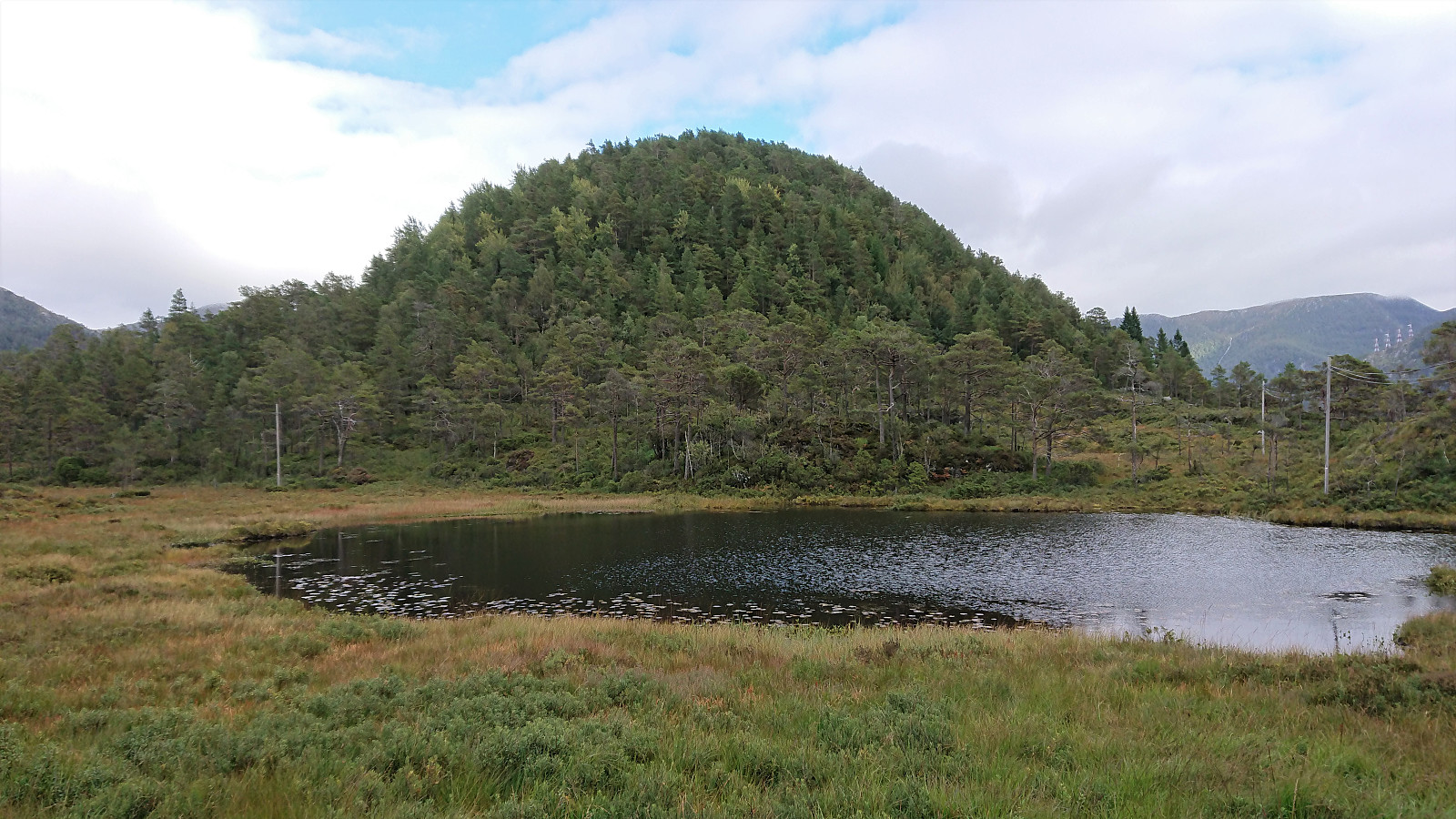
| Start point | Midtkviltjørna (126m) |
|---|---|
| Endpoint | Midtkviltjørna (126m) |
| Characteristic | Hillwalk |
| Duration | 2h 50min |
| Distance | 7.4km |
| Vertical meters | 600m |
| GPS |
|
| Ascents | Heinakken (428m) | 12.09.2021 12:30 |
|---|---|---|
| Kjerringefjellet (386m) | 12.09.2021 12:30 |
Heinakken and Kjerringefjellet
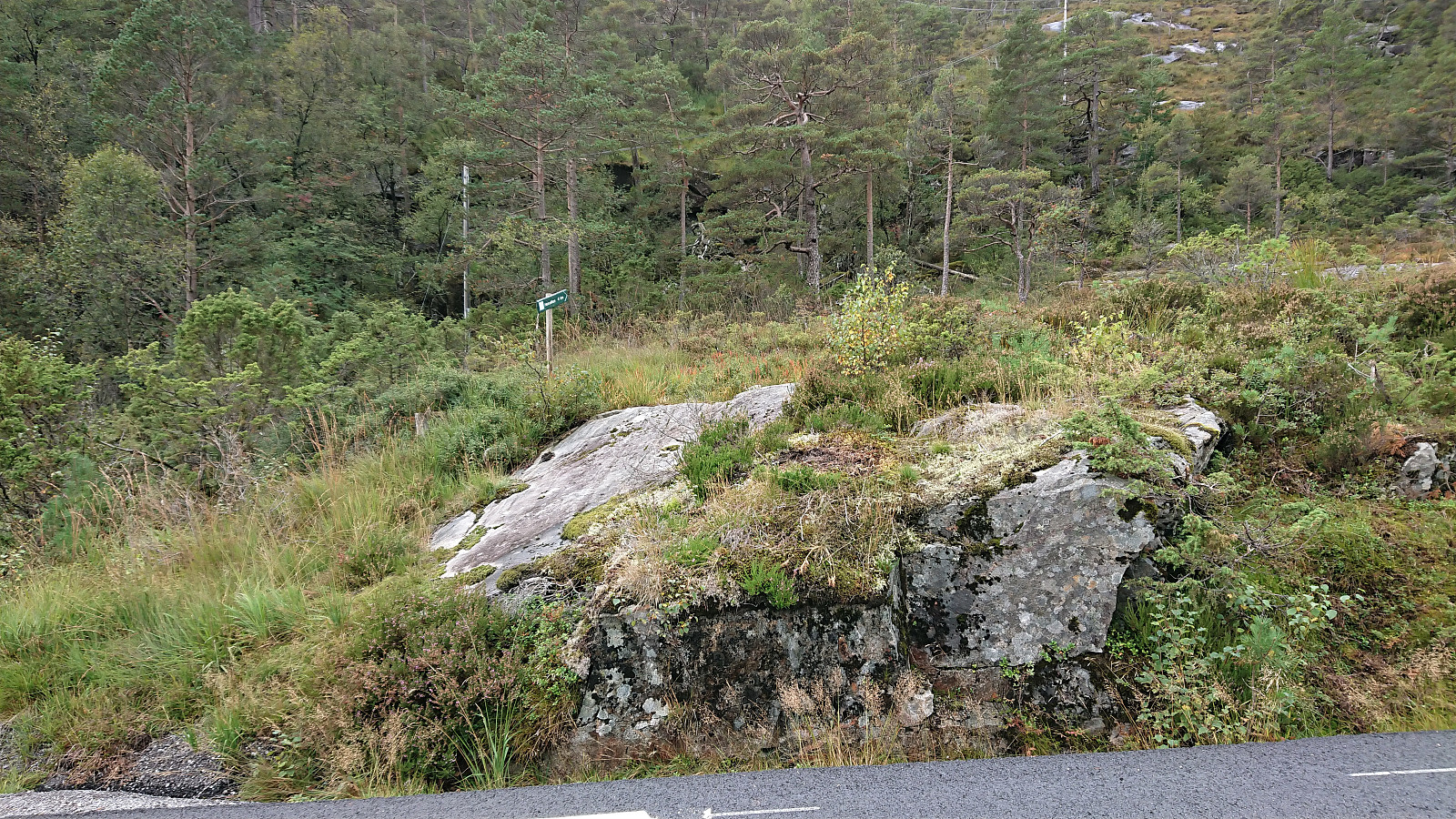
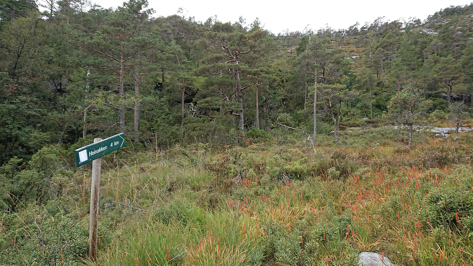
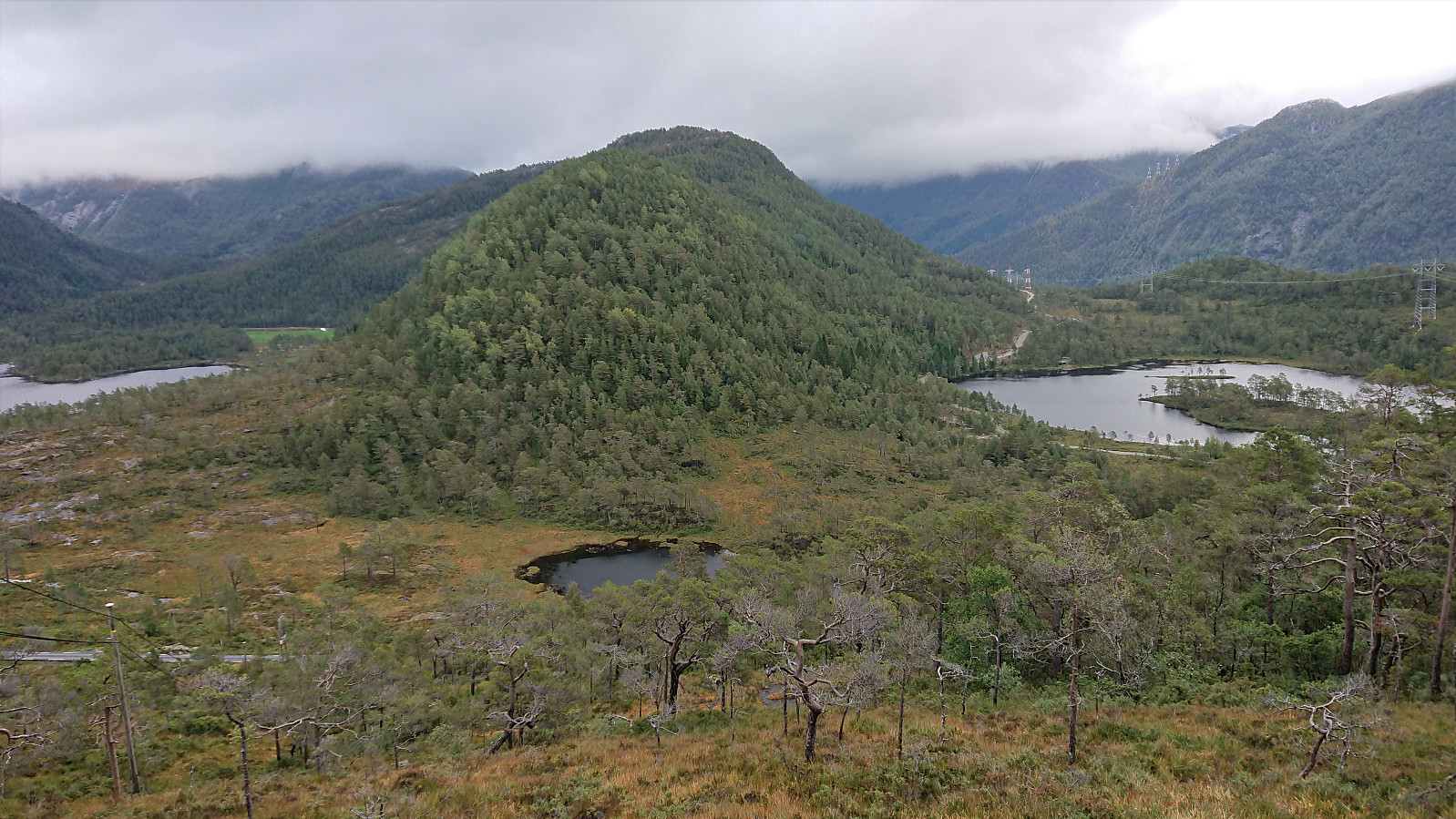
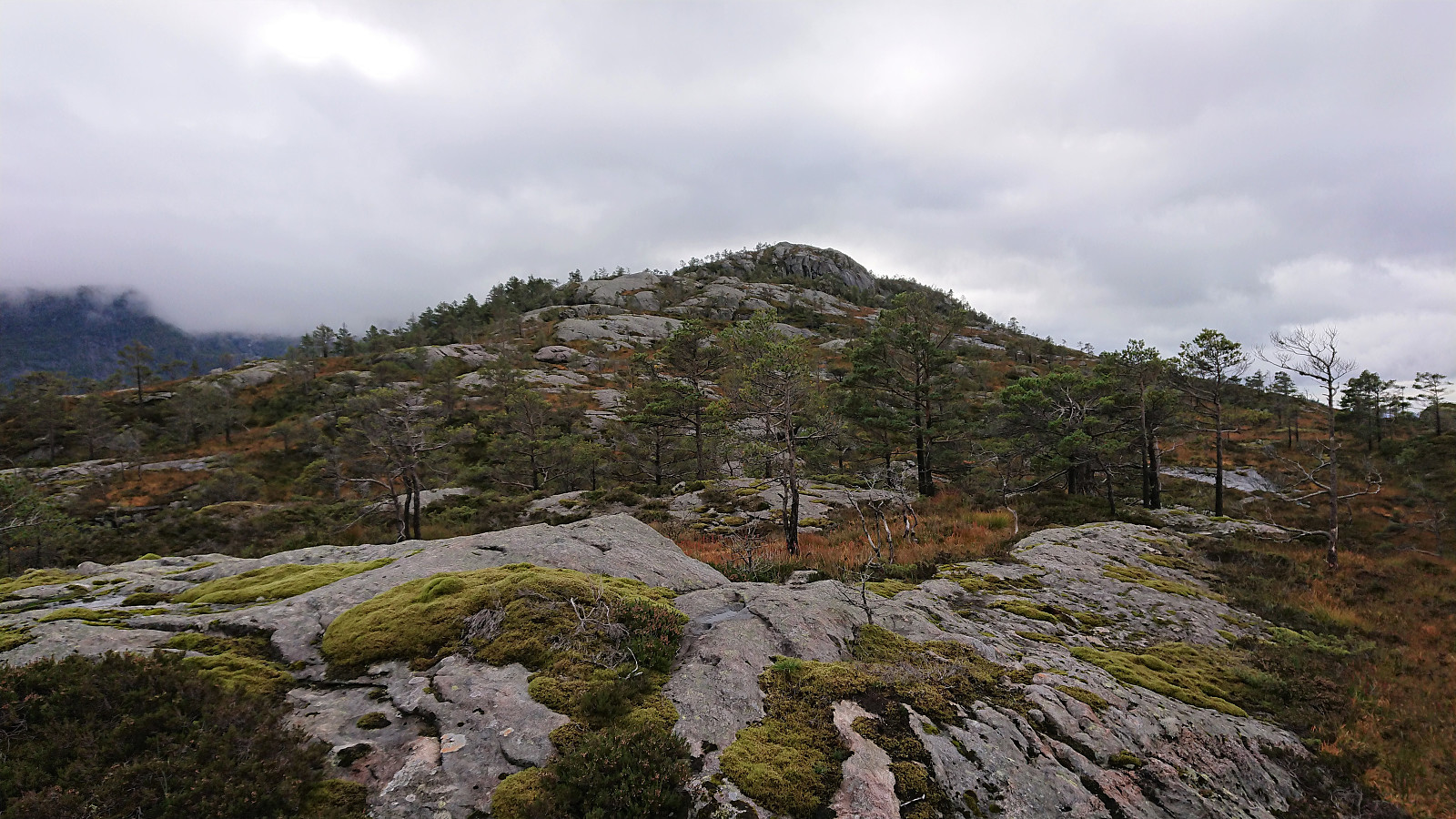
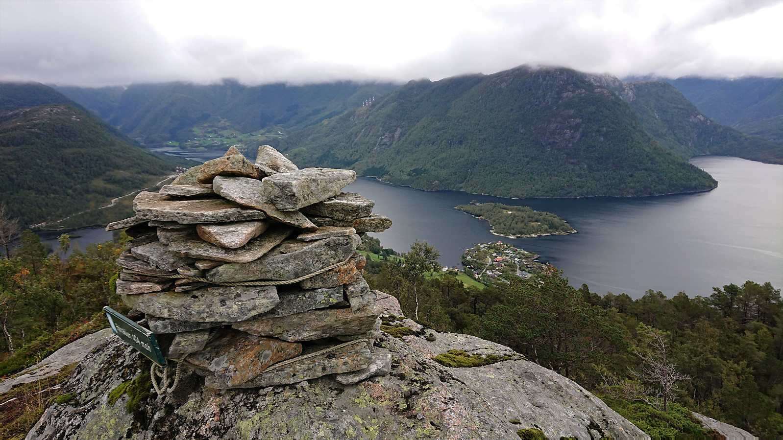
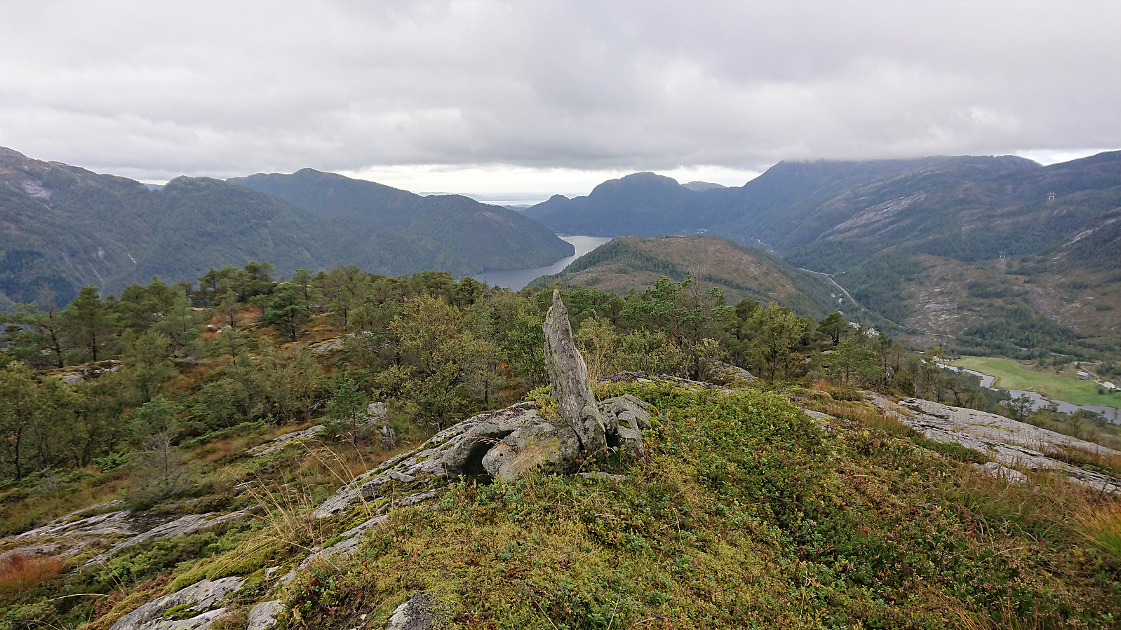
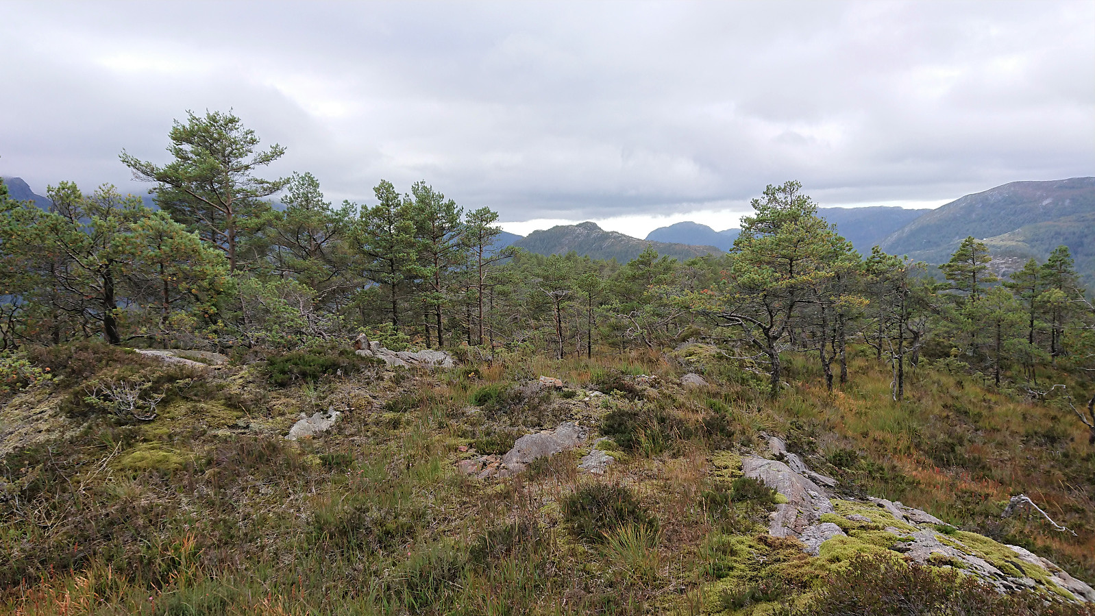
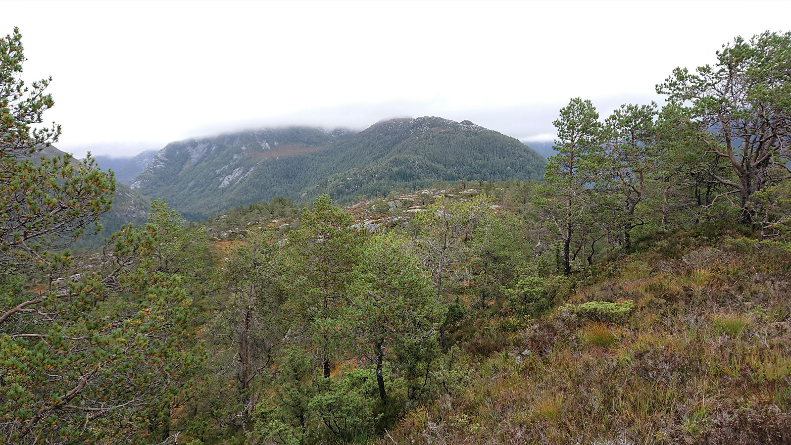
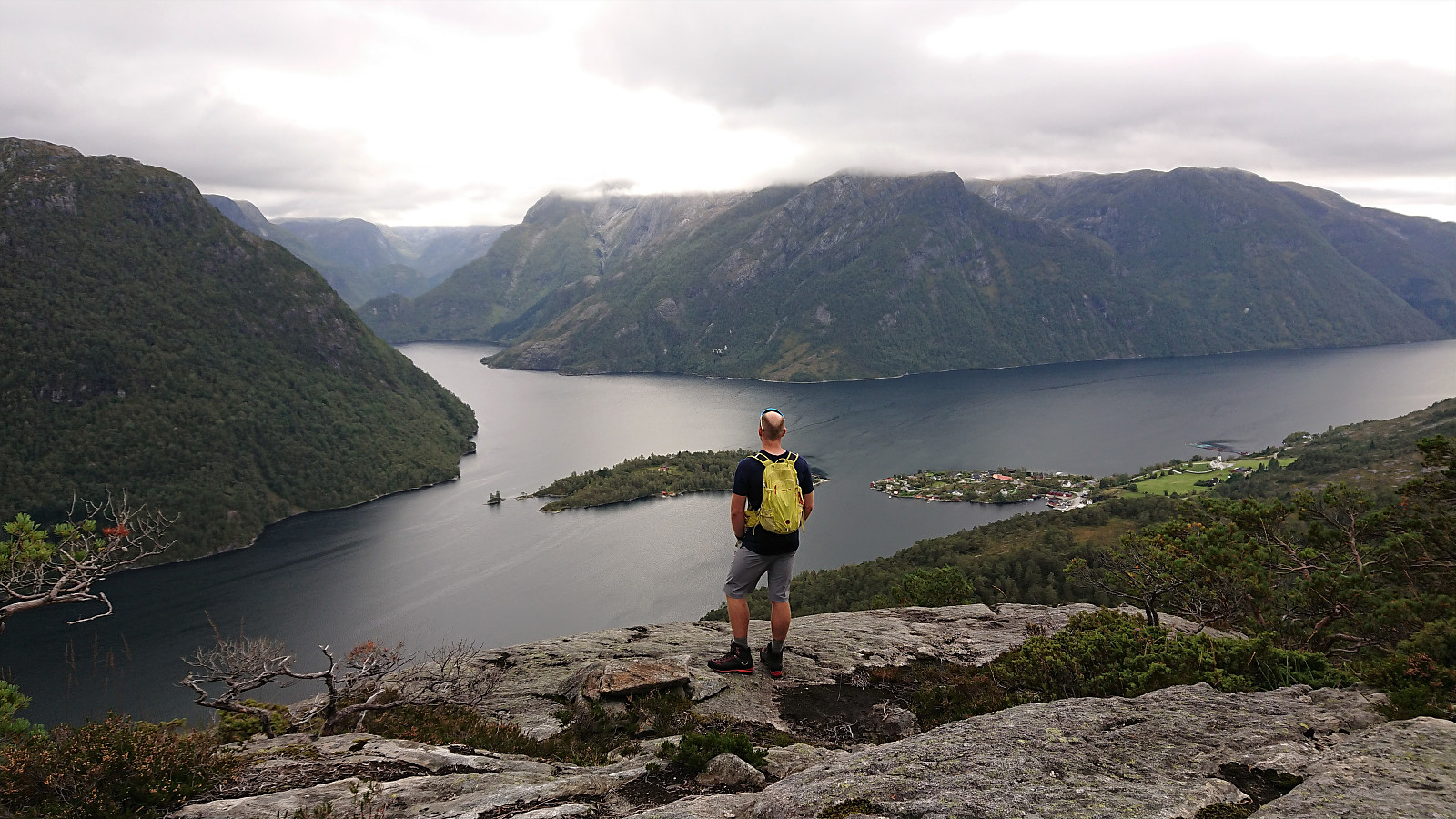
After our failure at obtaining any views at all from Matrenipa, me and Fjellsamleren (Endre Myrdal Olsen) did not give up, got back in the car, and drove to the valley in between Heinakken and Kjerringefjellet. Here we found parking on the side of the road, right next to the marked trailhead for Heinakken, and proceeded to follow the marked trail (quite wet at times, but otherwise easy to follow) all the way to the large cairn south of the summit, were we finally escaped the fog and were rewarded by excellent panoramic views across Masfjorden.
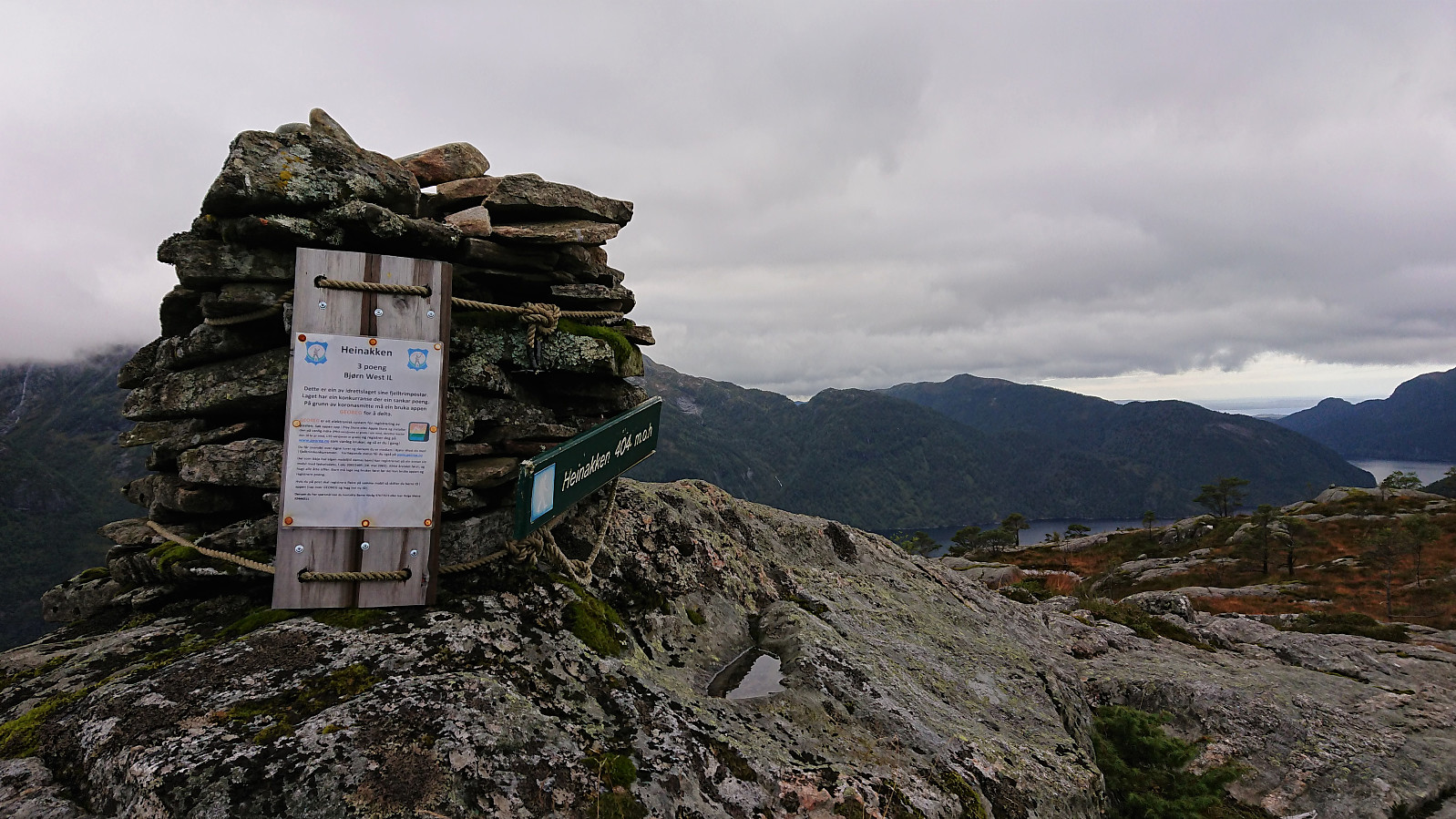
From the large cairn we shortly retraced out steps before making the final ascent to the summit of Heinakken from the southeast. No trails to the summit, but reaching it did not provide any difficulties. Great views from the summit as well, but if visiting Heinakken it is clearly recommended to also make the short detour to the larger cairn to the south.
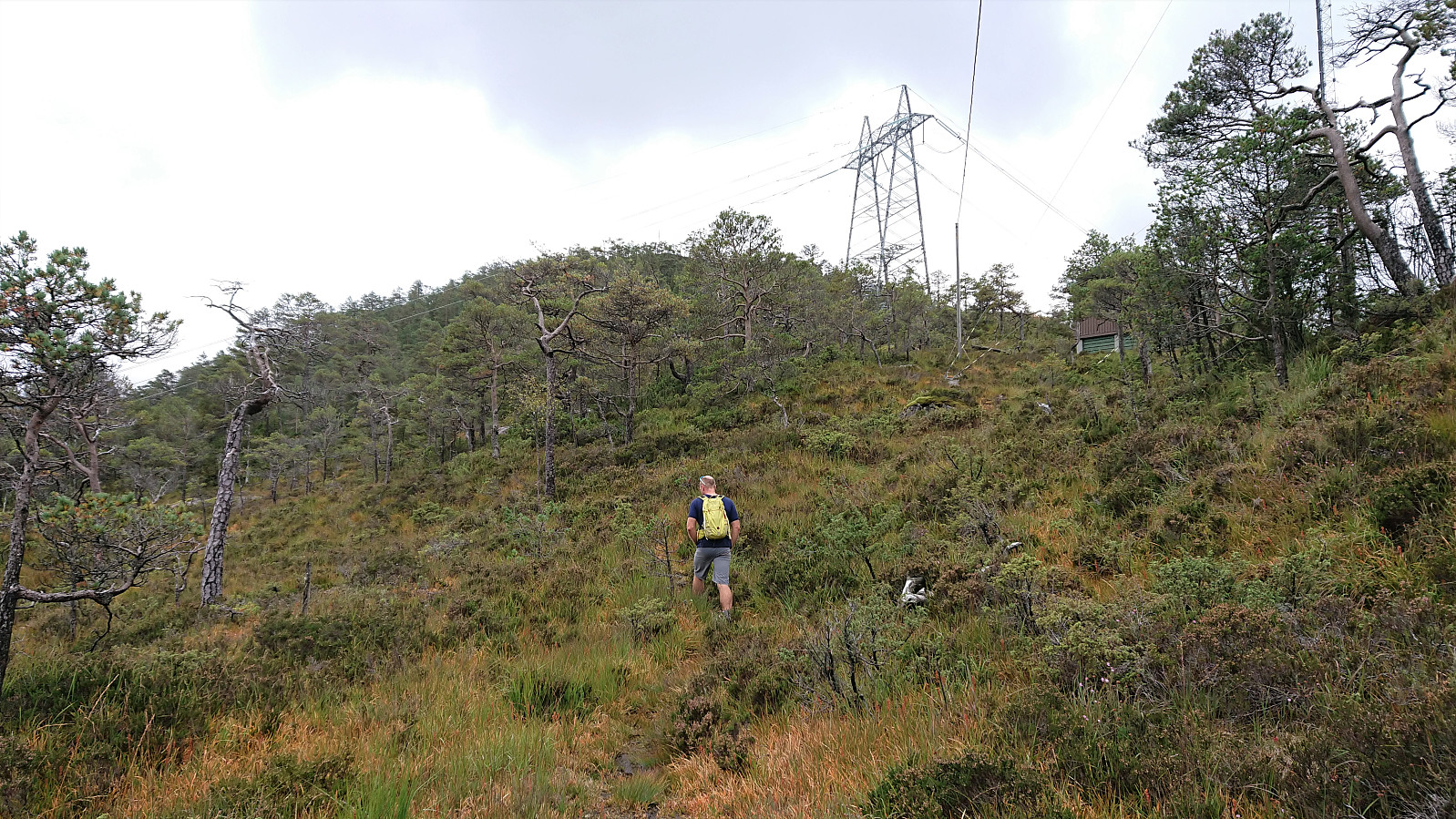
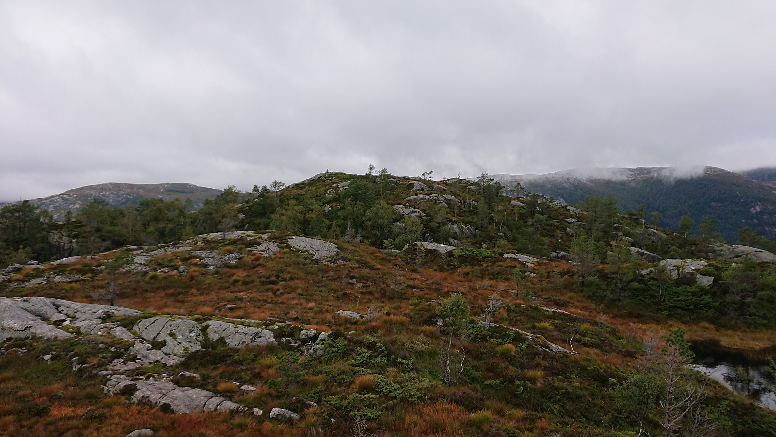
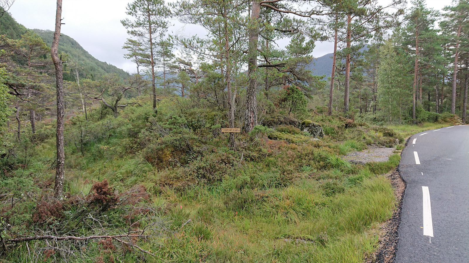
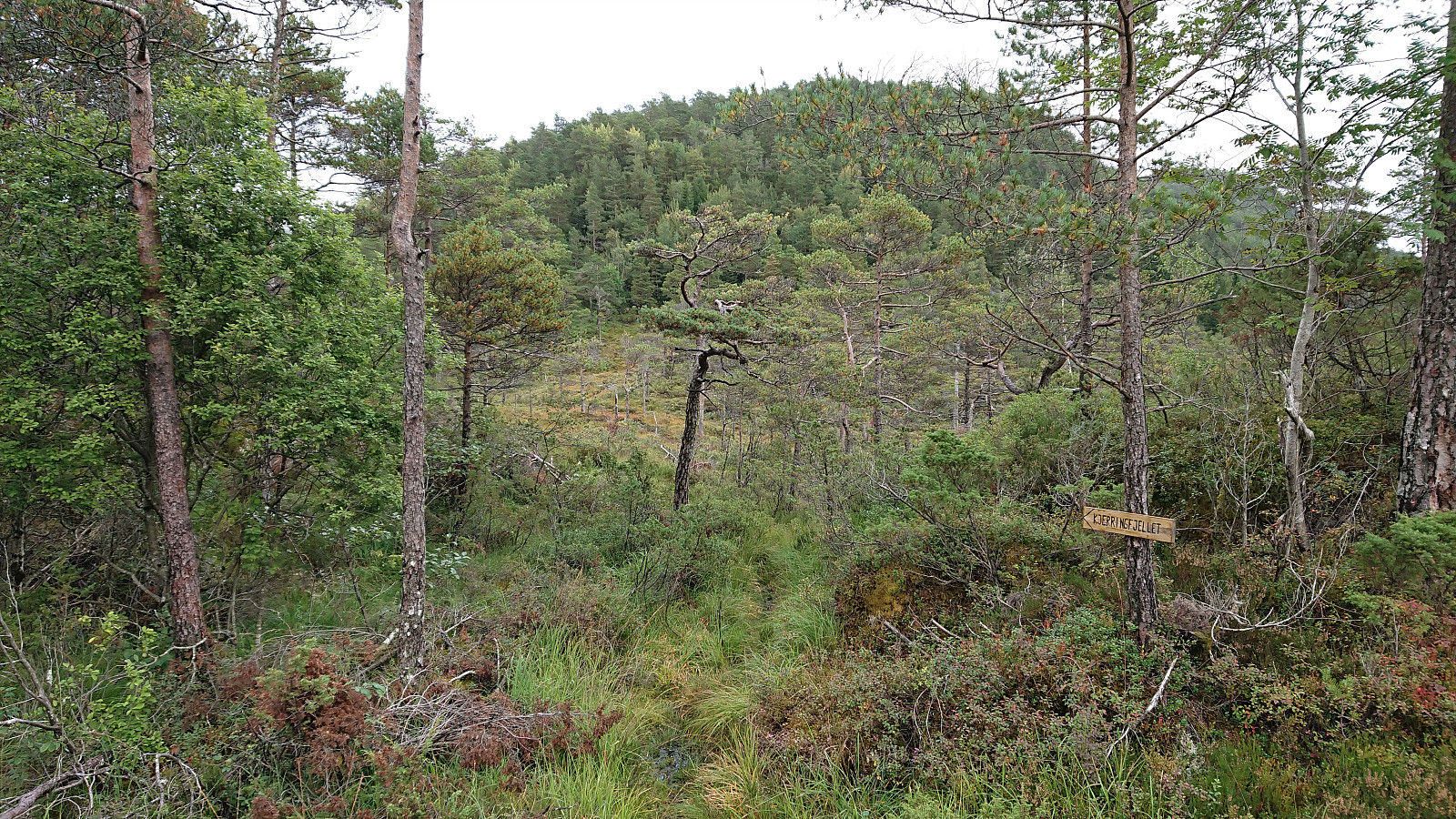
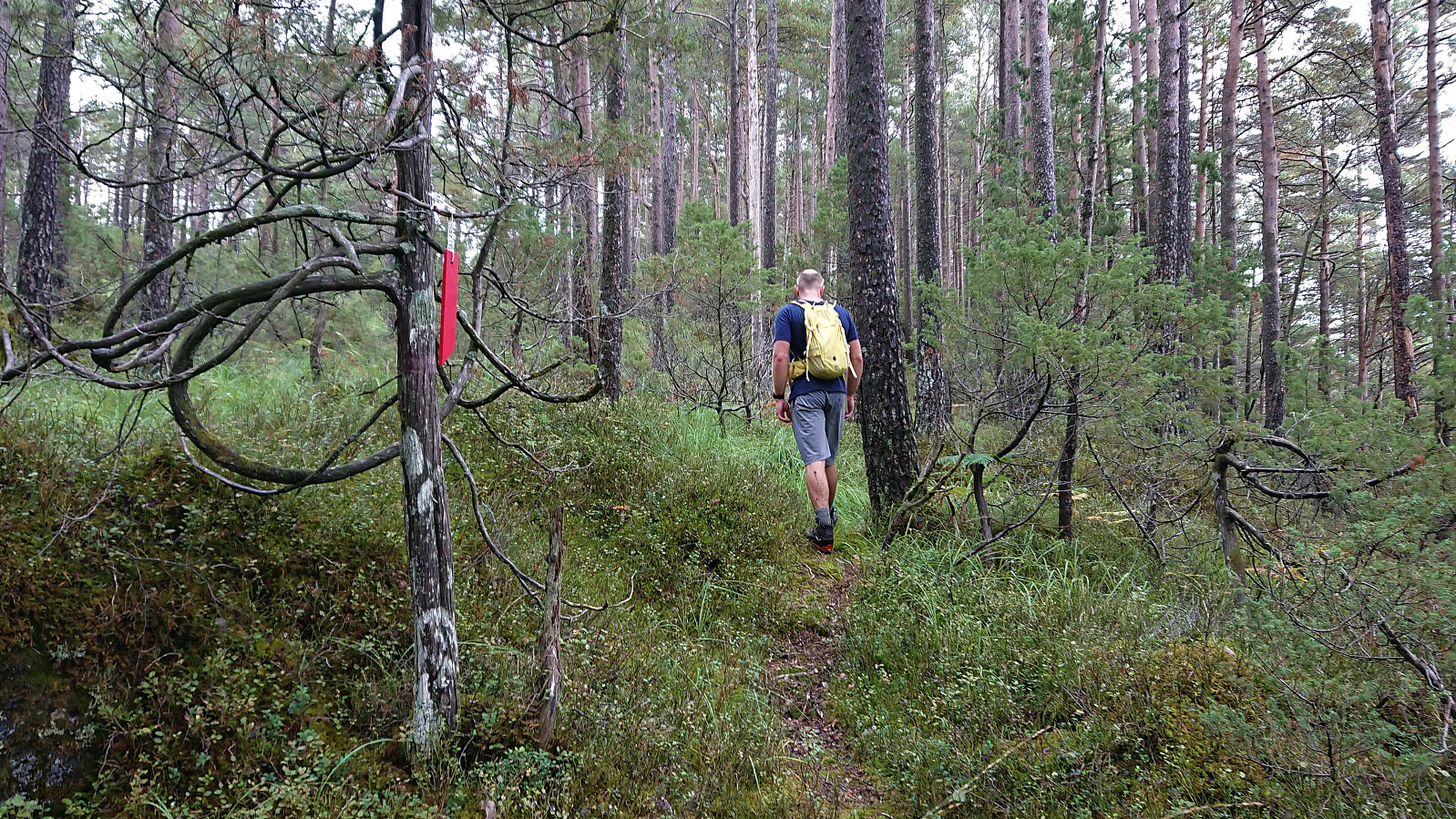
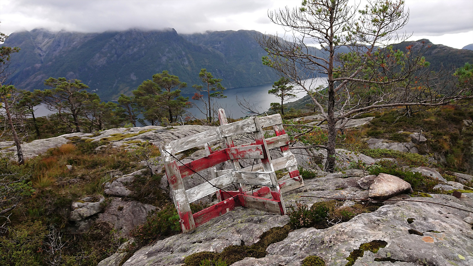
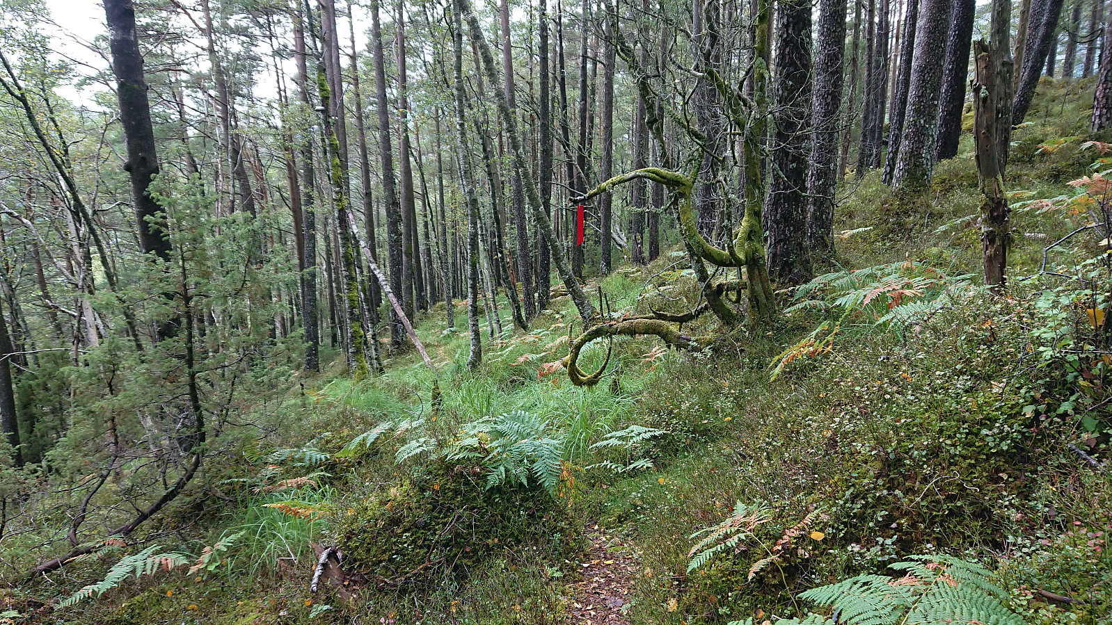
We returned along the same trail back to the road, from where we directly started our hike to Kjerringefjellet. The marked trailhead was easily located just south of Midtkviltjørna, and from there the trail was marked with red markers all the way to the trig marker and cairn east of the summit. A weak trail/track continued towards summit, but it is clear that most hikers do not feel the need to go this far and the trail/track even stopped short of reaching the highest point.
After a couple of pictures, and a rebuild of the small cairn, we returned to the trig marker and the excellent views across Haugsværfjorden that could be obtained from just south of it. Here we had a short break before returning more or less along the same trail. The exception being that we at one point shortly instead followed a deer track (without planning to do so) and briefly even lost the trail and had to make a short detour to find it again. Note that there was also a marked trail heading more in the direction of the gravel road north of Stemmevatnet, hence it is probably also possible to start/end your hike from there.
In summary, both Heinakken and Kjerringefjellet can easily be reached via marked trails. Note however that the trails can be quite wet and that for some sections (mainly for Kjerringefjellet) the trail can be a bit weak. The excellent views from the large cairn at Heinakken and from just south of the trig marker at Kjerringefjellet, in any case results in a hike that can definitely be recommended.


| Start date | 12.09.2021 12:40 (UTC+01:00 DST) |
| End date | 12.09.2021 15:31 (UTC+01:00 DST) |
| Total Time | 2h 50min |
| Moving Time | 2h 17min |
| Stopped Time | 0h 33min |
| Overall Average | 2.6km/h |
| Moving Average | 3.2km/h |
| Distance | 7.4km |
| Vertical meters | 599m |


User comments