
Våganipen and Lukefjellet from Kilen (04.09.2021)

Geschrieben von hbar (Harald Barsnes)

| Startpunkt | Kilen kryss (31m) |
|---|---|
| Endpunkt | Medhus (104m) |
| Tourcharakter | Bergtour |
| Tourlänge | 6h 20min |
| Entfernung | 17,1km |
| Höhenmeter | 1.331m |
| GPS |
|
| Besteigungen | Lukefjellet (766m) | 04.09.2021 |
|---|---|---|
| Tomravardafjellet (712m) | 04.09.2021 | |
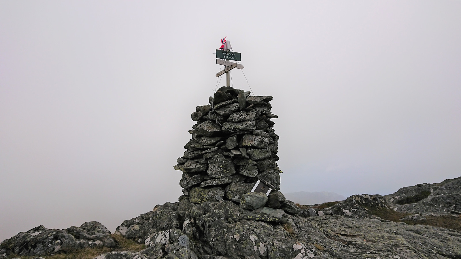
| Våganipen (819m) | 04.09.2021 | |
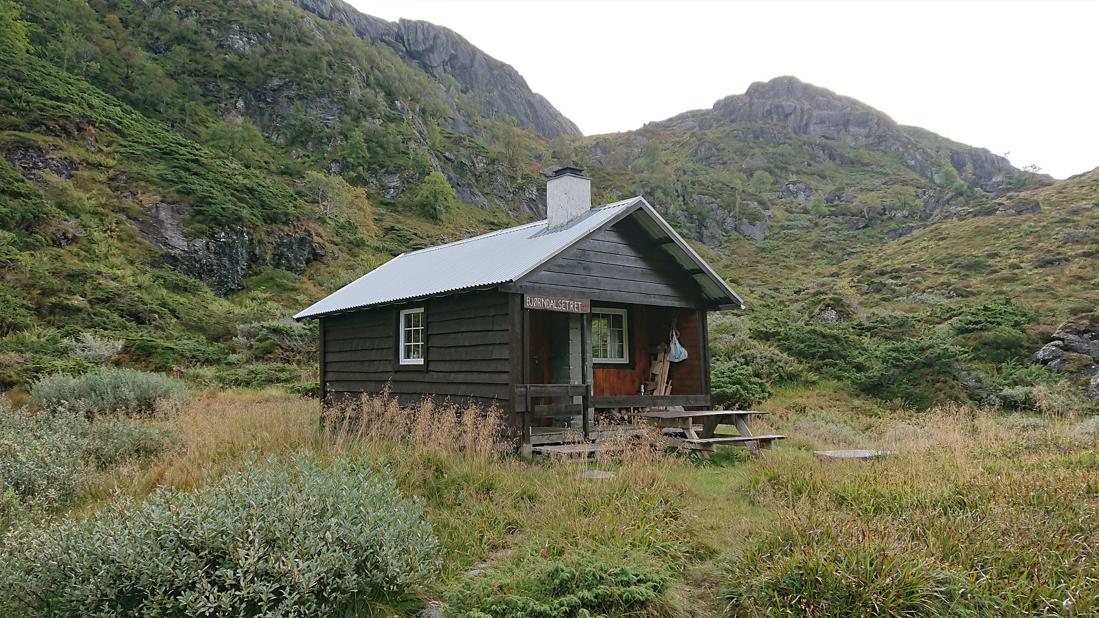
| Besuche anderer PBE | Bjørndalsetret (526m) | 04.09.2021 |
Våganipen and Lukefjellet from Kilen
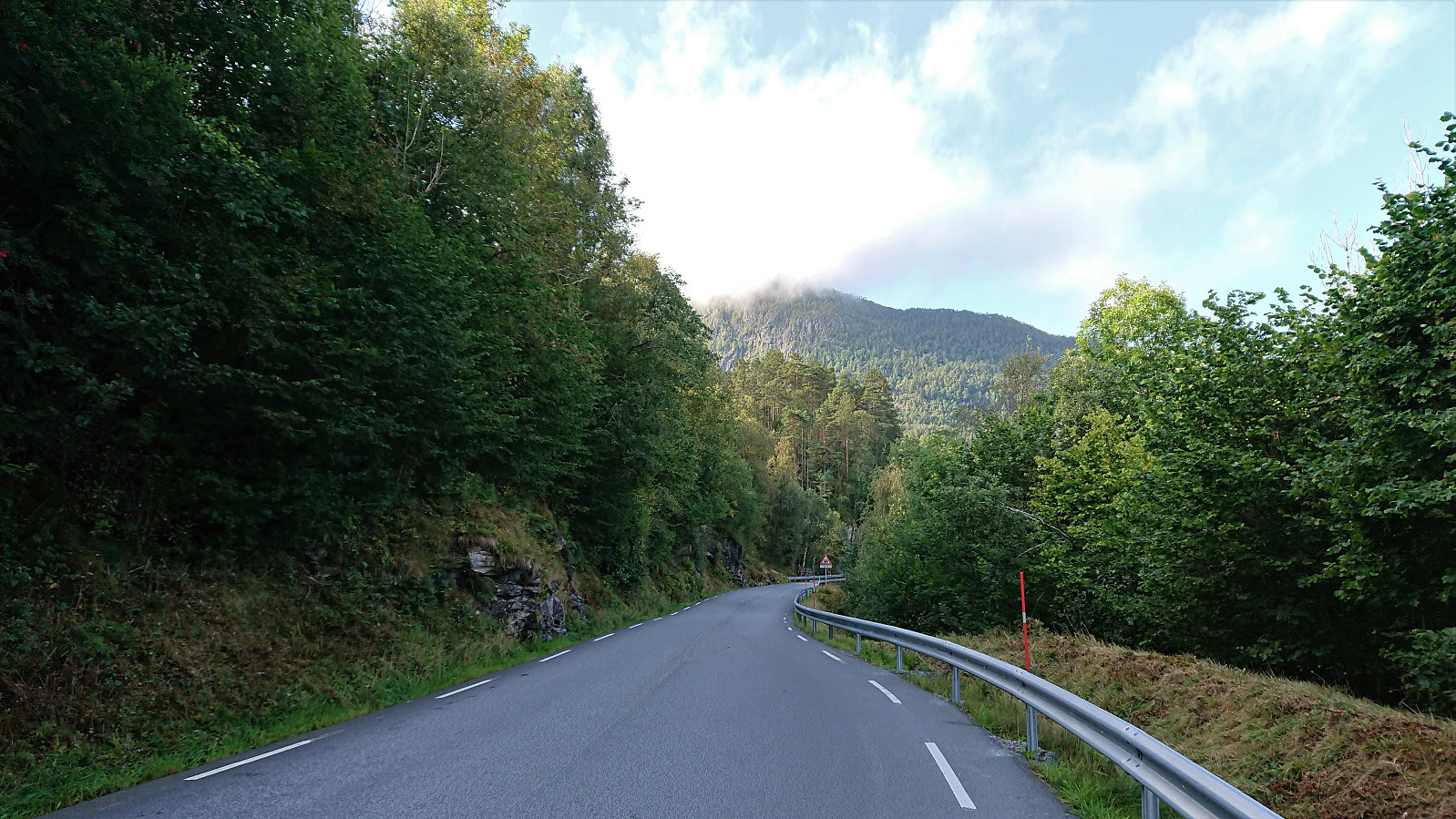
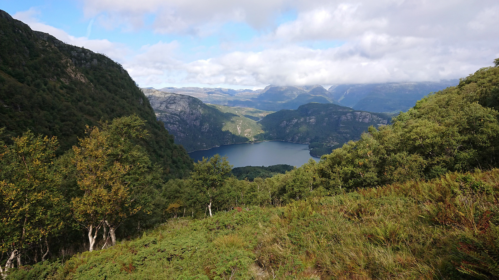
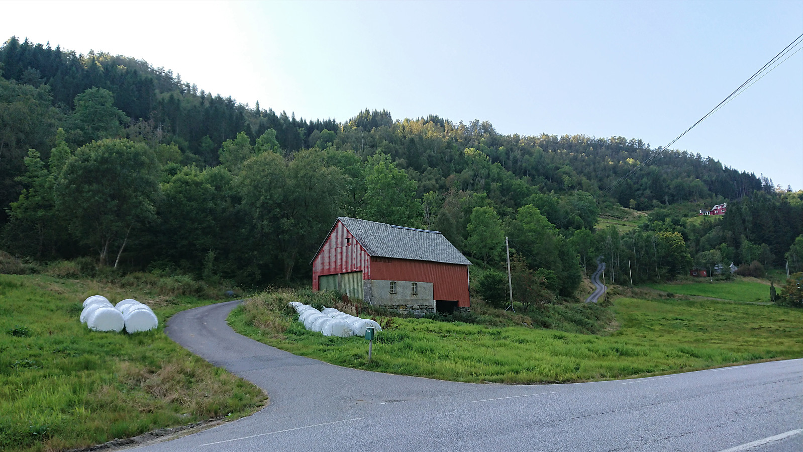
As far as I could tell, all previously reported ascents of Våganipen had been from the southwest, which is difficult to get to by public transport, especially during the weekends. I was therefore happy when coming across a trip suggestion at ut.no which showed an ascent of Våganipen via Bjørndalsetret, as this would allow me to start my hike from the bus stop at Kilen. I therefore hopped on a bus from Bergen and got off at the bus stop called "Kilen kryss", and after a short 1.5 km walk along the road I arrived the start of the marked trailhead for Våganipen.
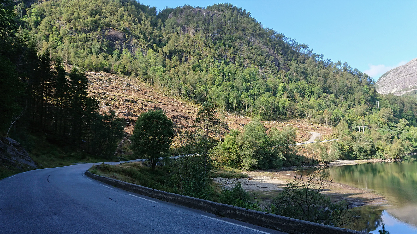
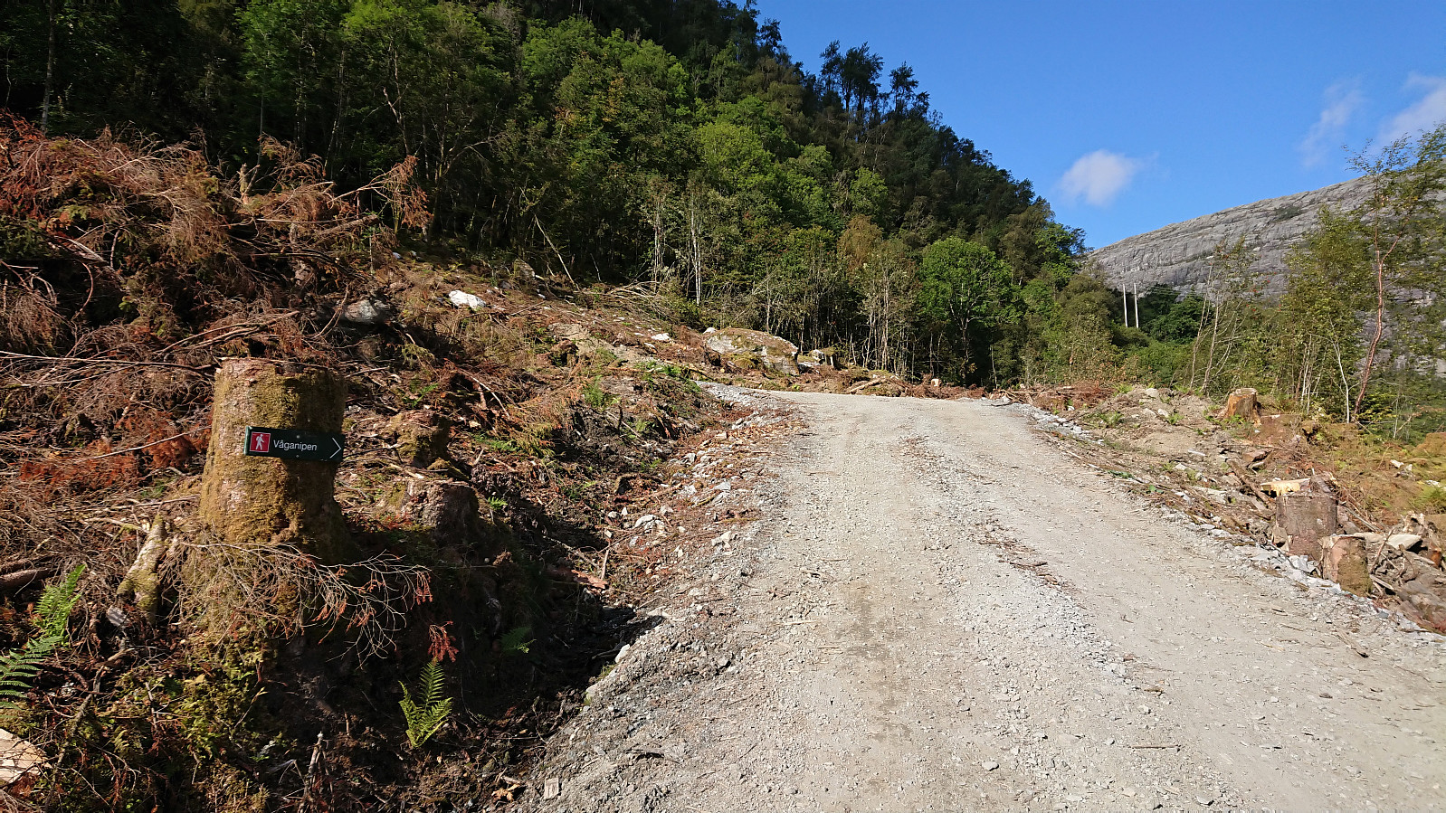
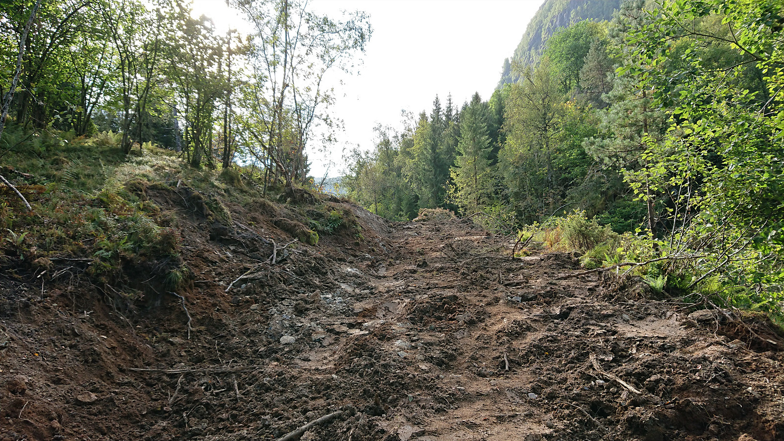
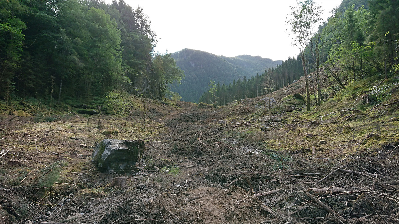
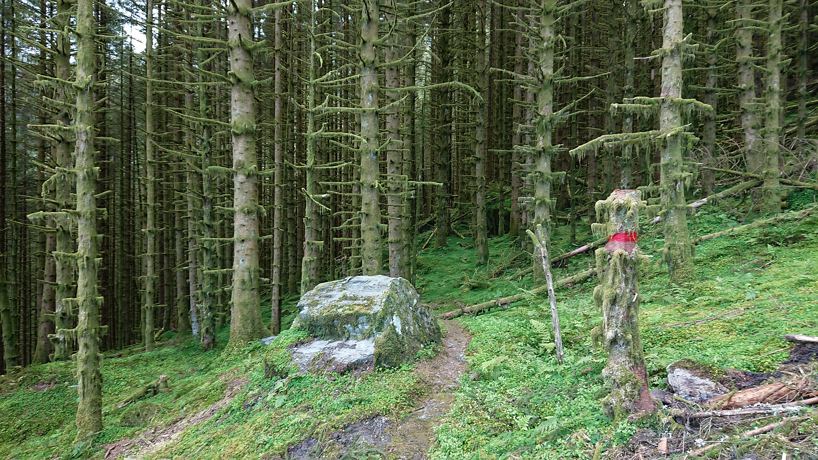
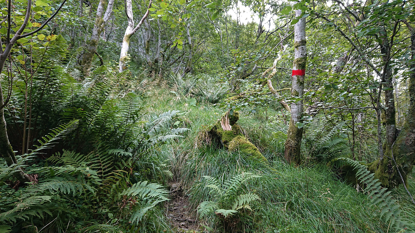
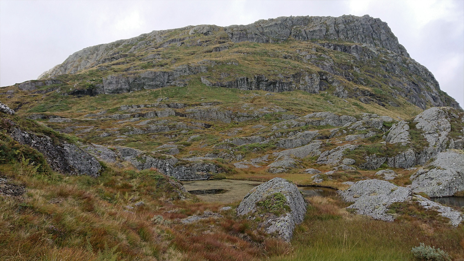
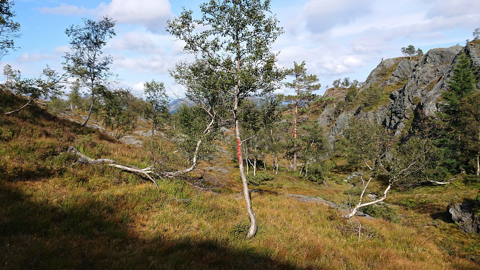
After passing by the shooting range for Sævareidfjorden Skyttarlag, where there was no activity today, the gravel road changed into a rough and muddy tractor road, and soon more or less disappeared as I entered an area of recent logging. It was however still easy to make progress, unlike other similar areas I have passed through before, and I quickly got to the marked trail at the other side just as it entered into the forest. From here on the trail was clearly marked with red paint all the way to the summit of Våganipen.
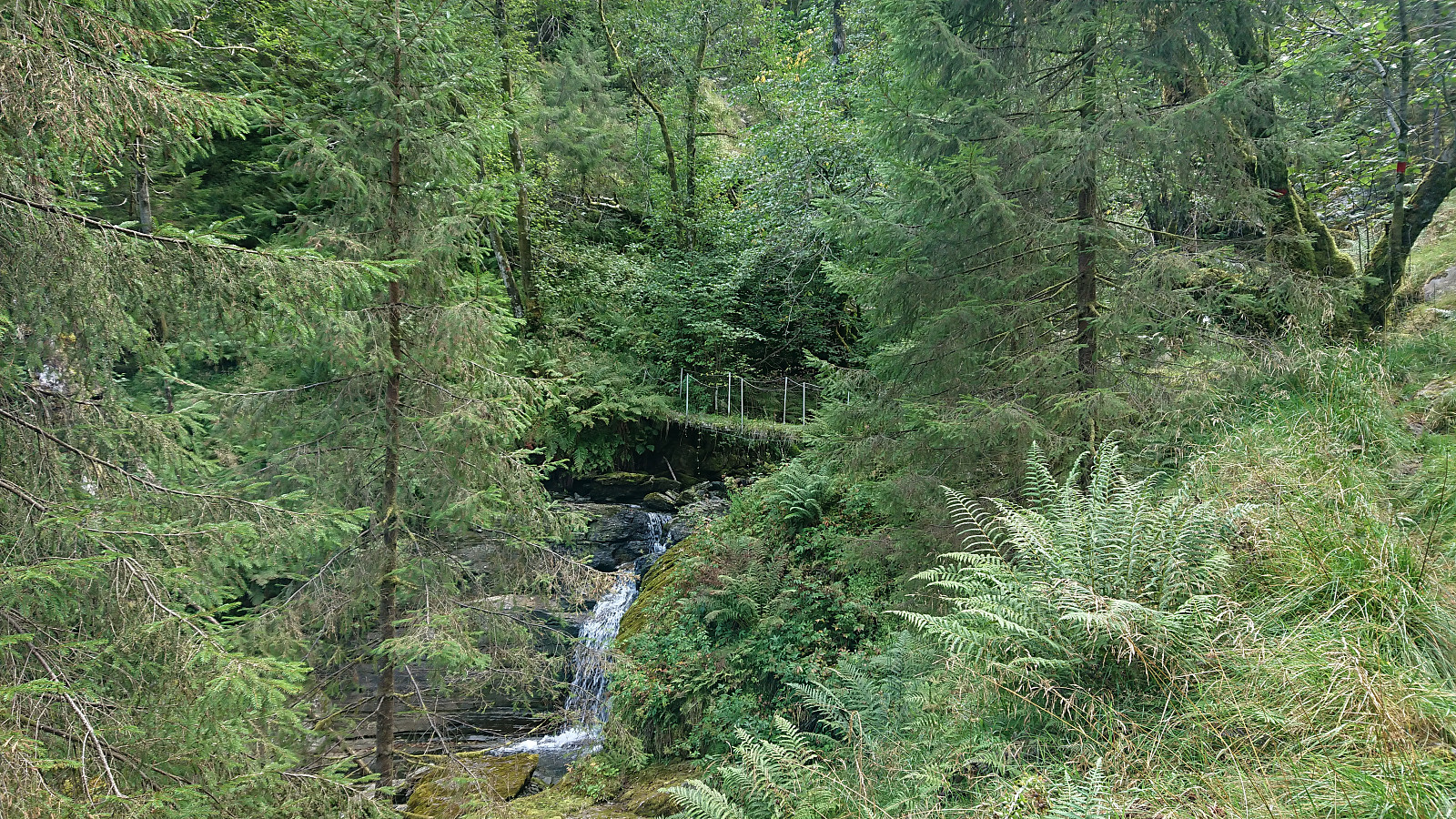
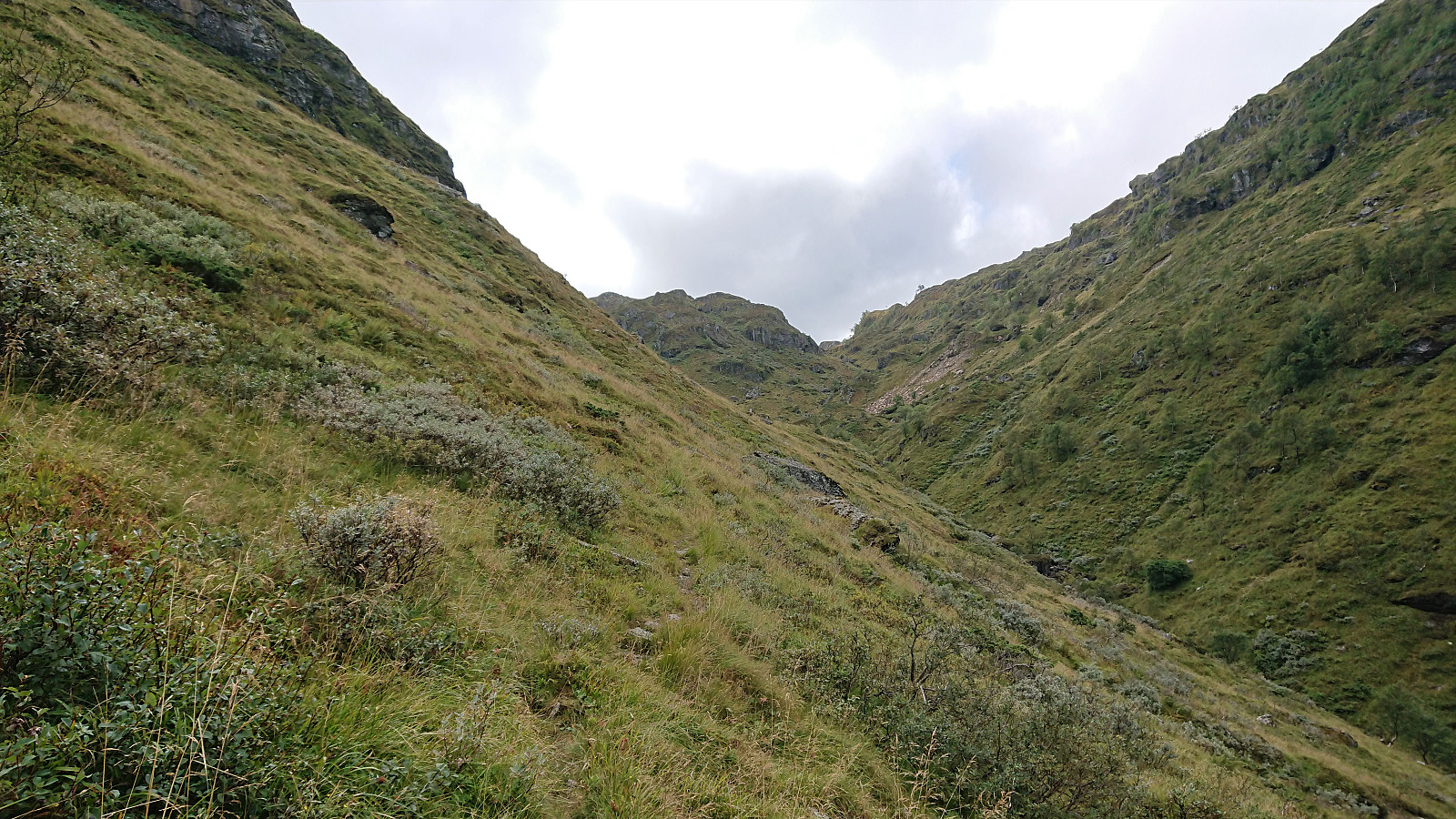
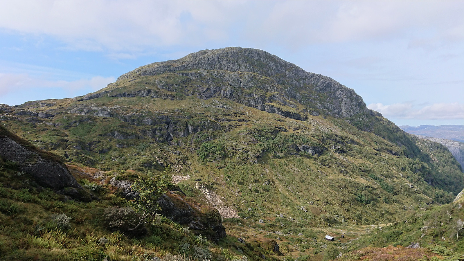
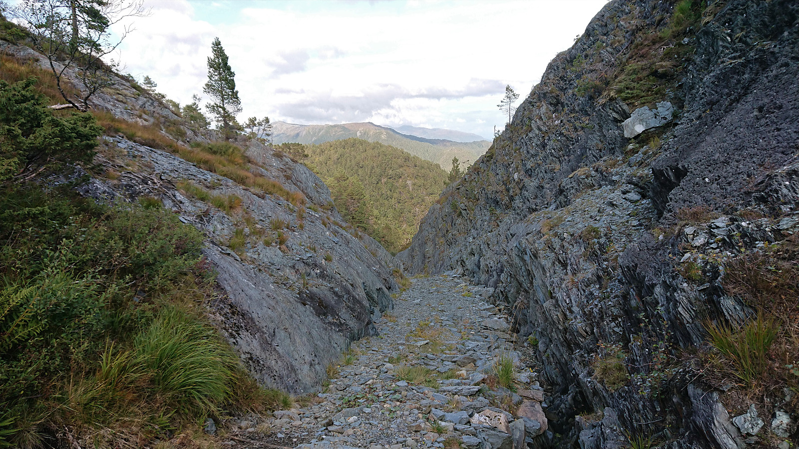
After crossing the river via a bridge, the trail got much steeper and stayed that way until getting close to Bjørndalsetret, but there were no difficult sections nor sections where scrambling was required. The top of Henangerskaret was one of the highlights of the hike, with excellent views back down to Henangervatnet and the steep eastern side of Våganipen now visible on the right. At Bjørndalsetret the trail shortly flattened out, before starting the final climb towards the summit, still following red markers.
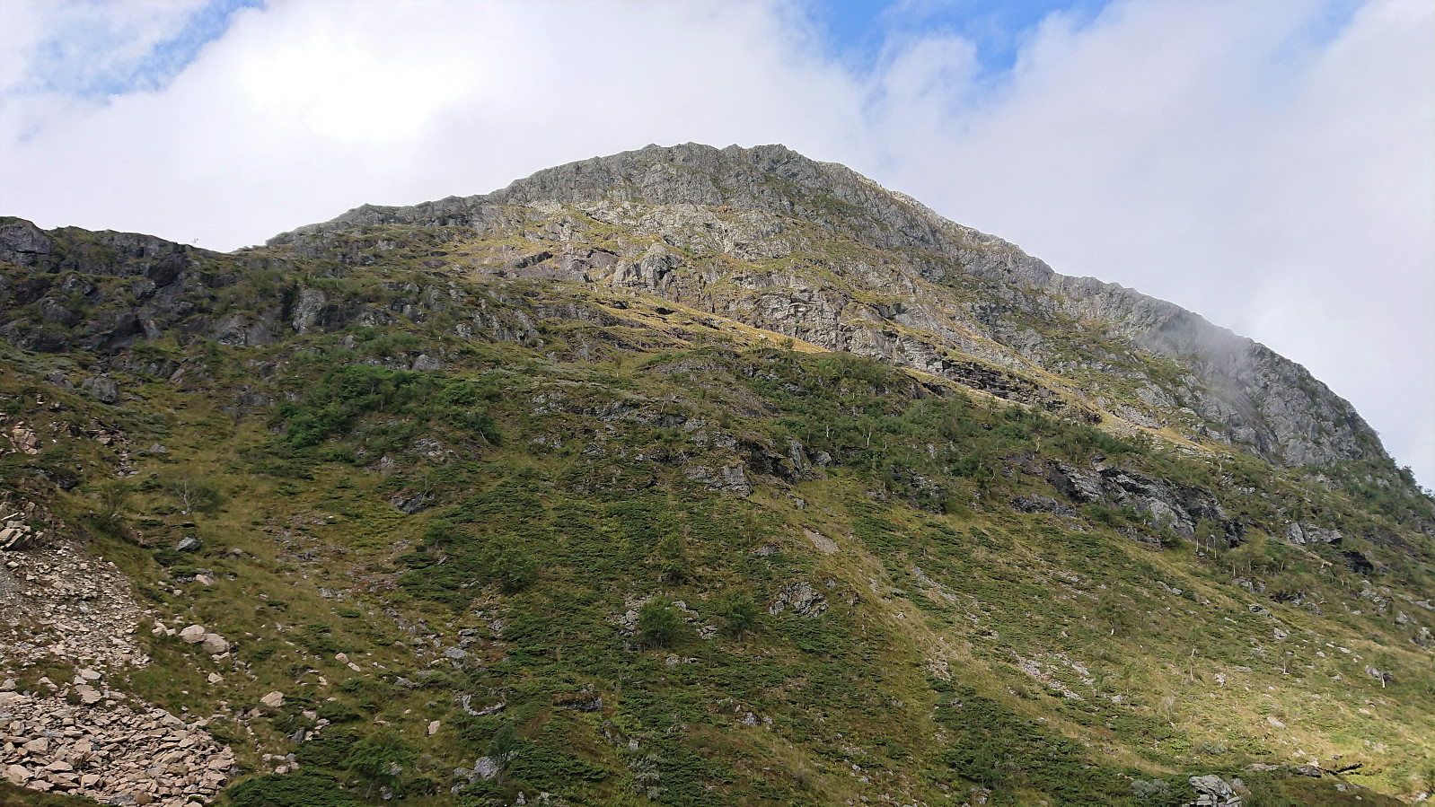
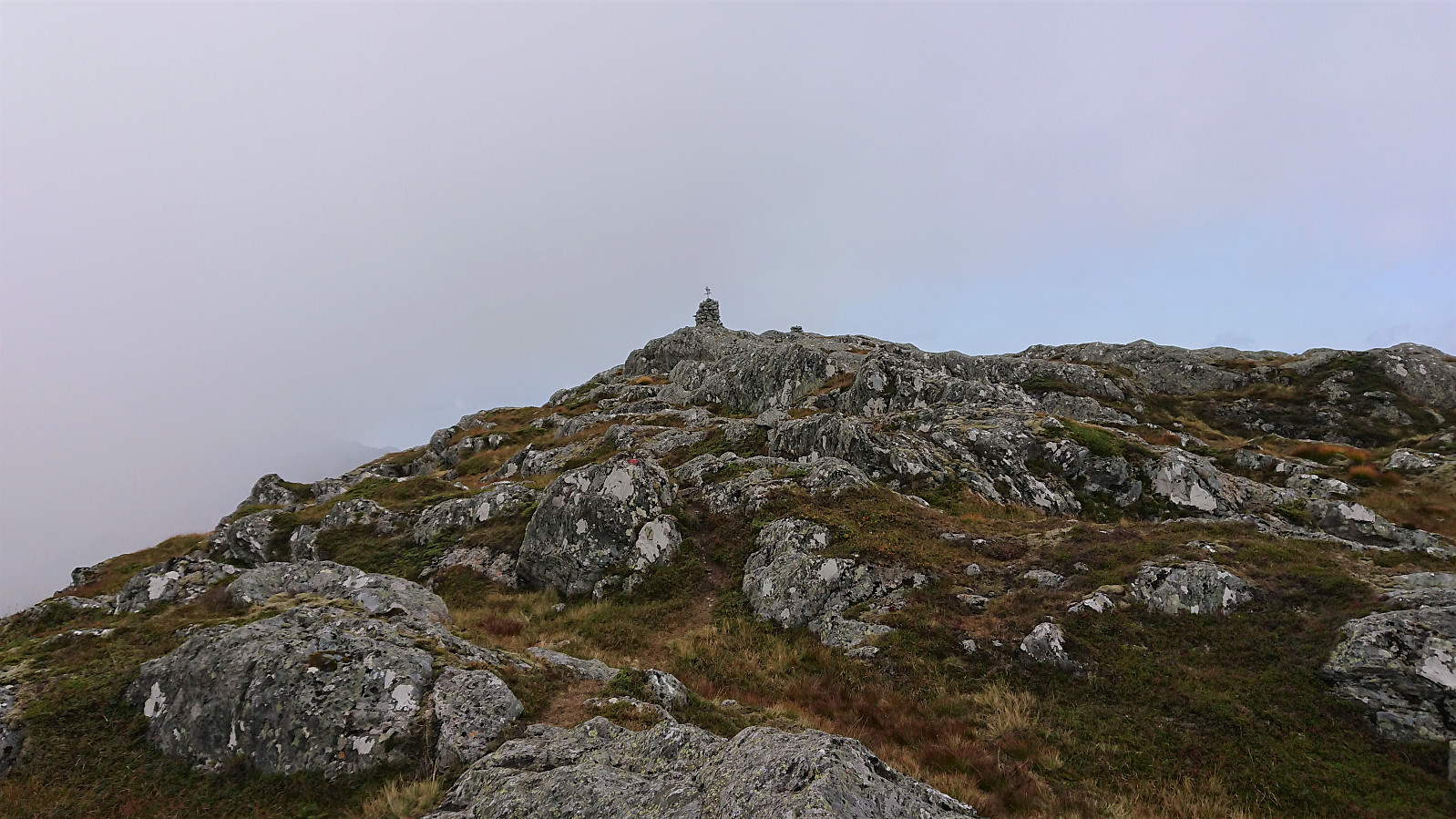
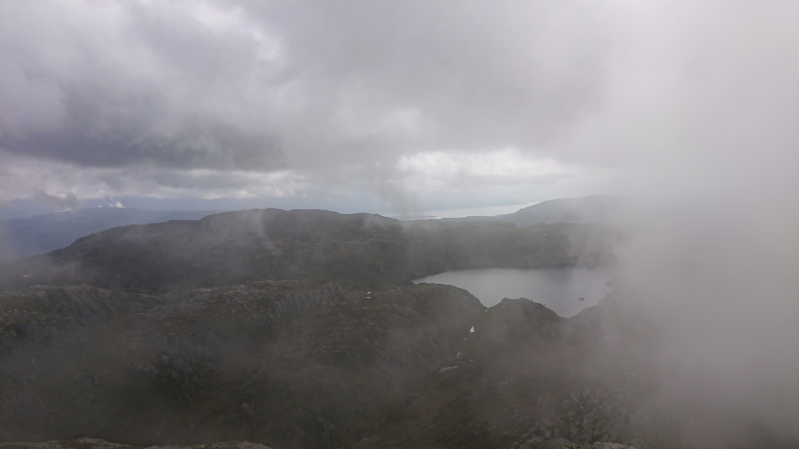
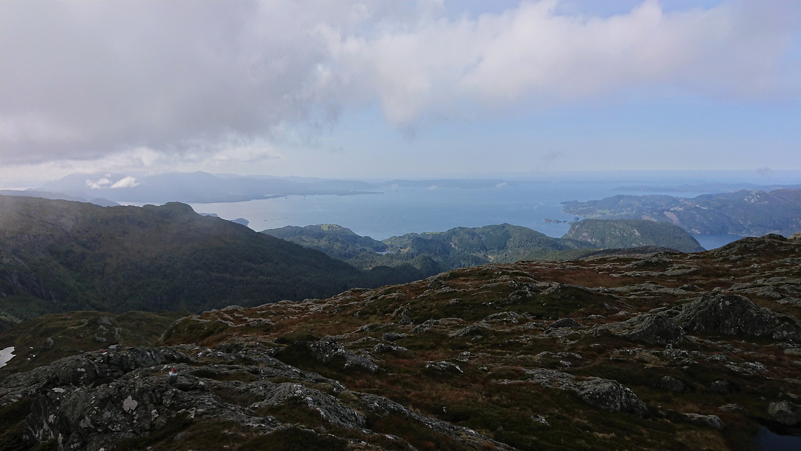
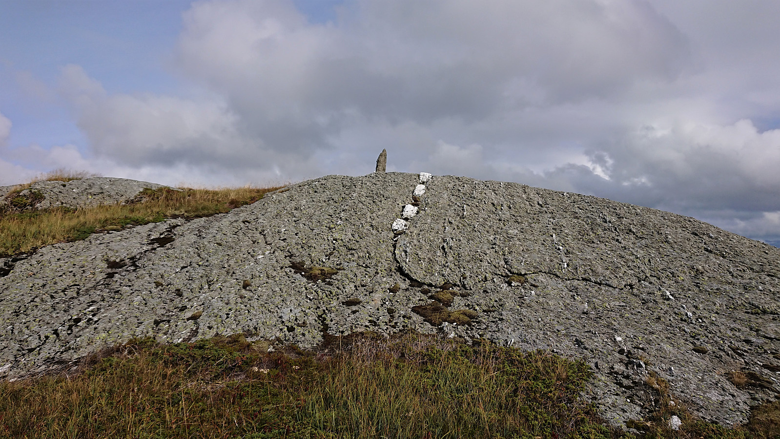
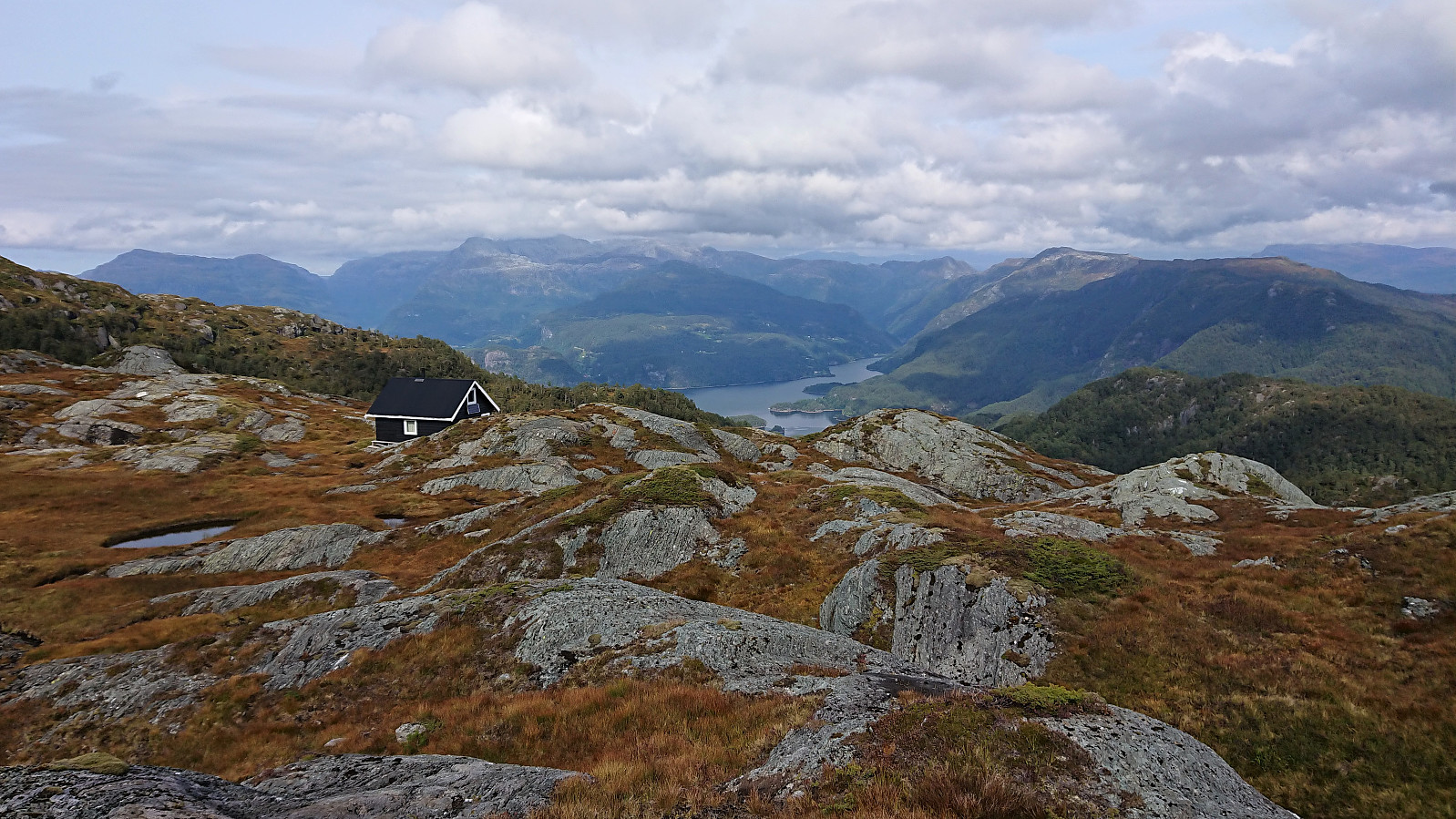
Just as I was getting to the summit, the fog arrived, and thus ruined most of the views. After a quick lunch and a chat with two fellow hikers, the clouds thankfully lifted enough for us to at least get an idea of what the views must be up here on days with better conditions. Sadly, I did not have the time to wait for it to clear completely (as it would later in the day), as I was also planning on making a visit of Lukefjellet before returning to Bergen, and in any case, the wind was too cold to wait for much longer anyway.
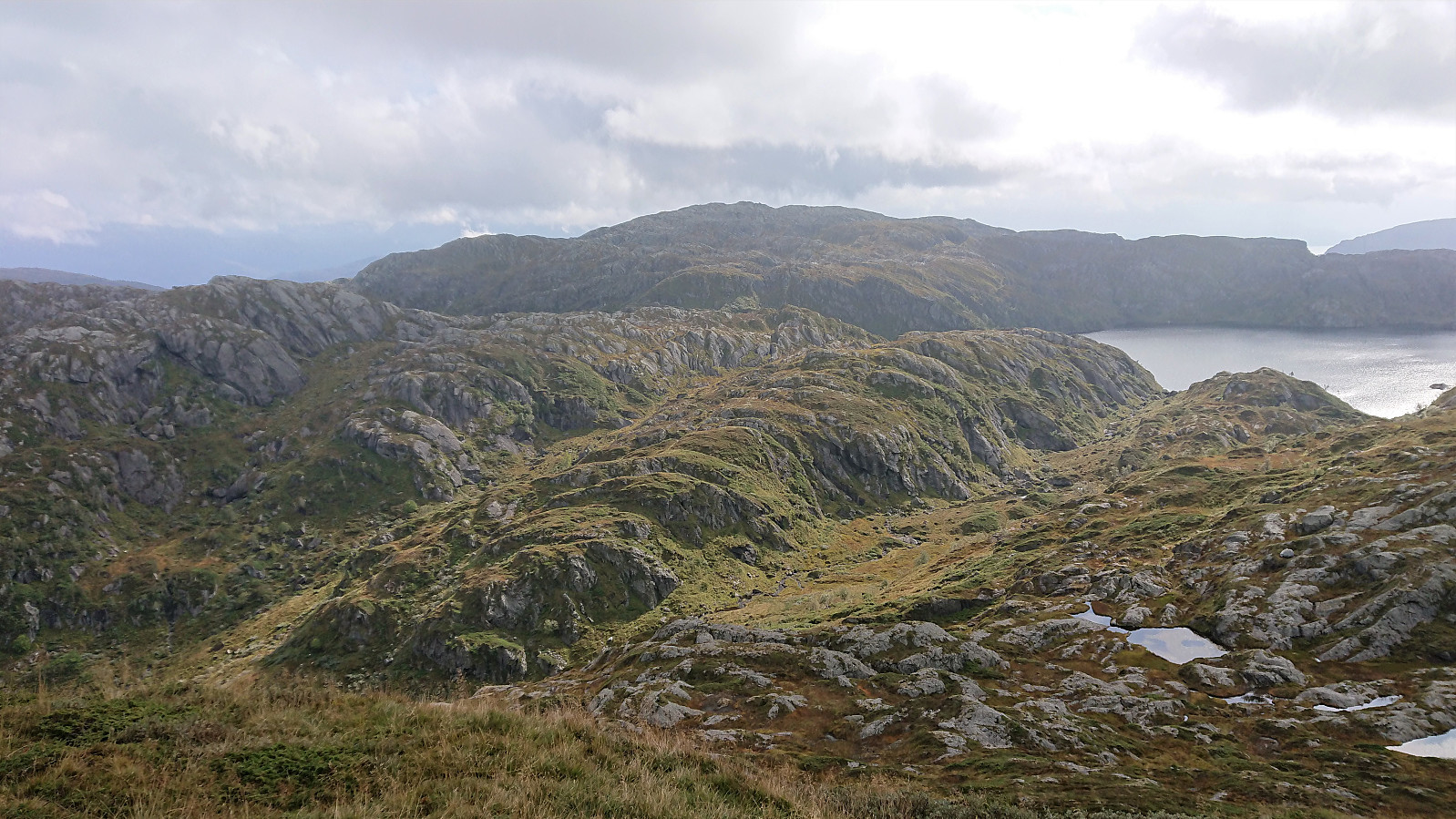
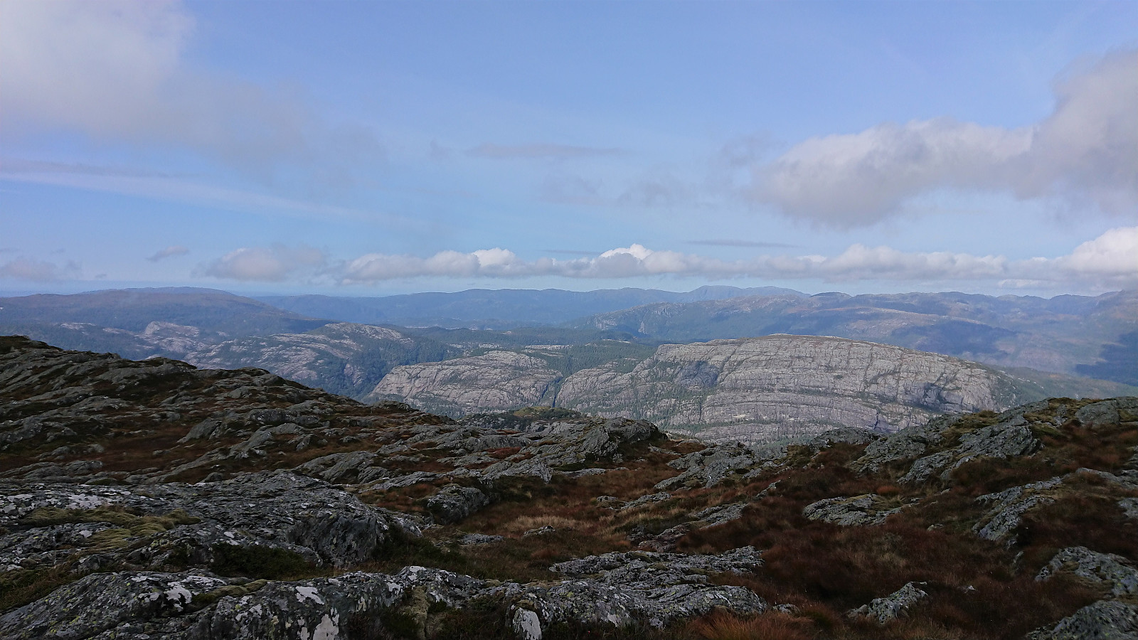
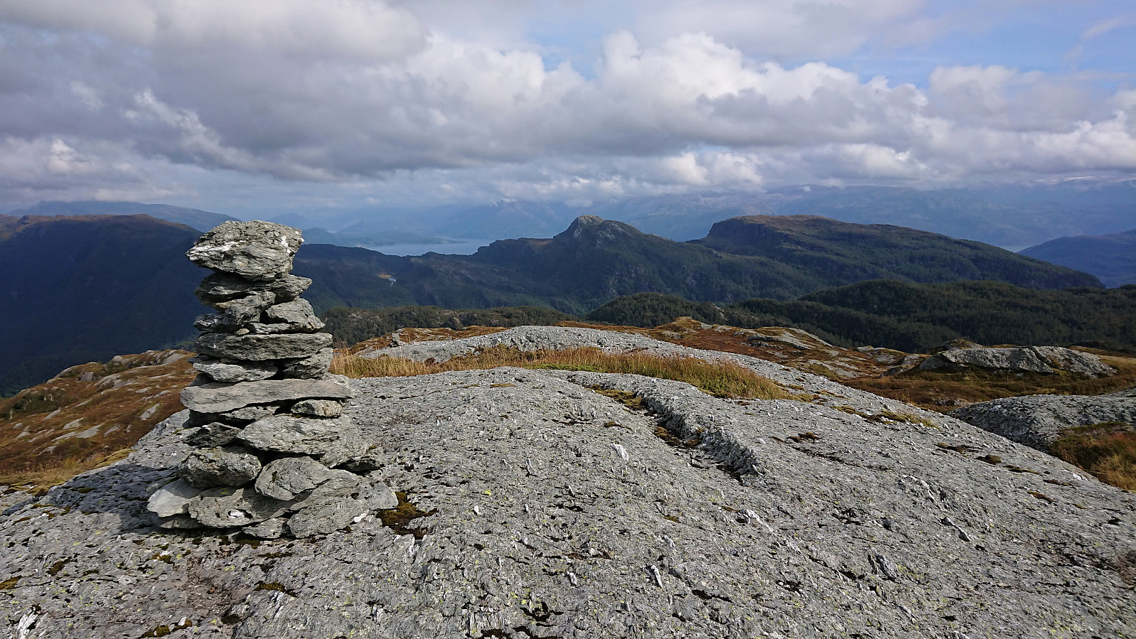
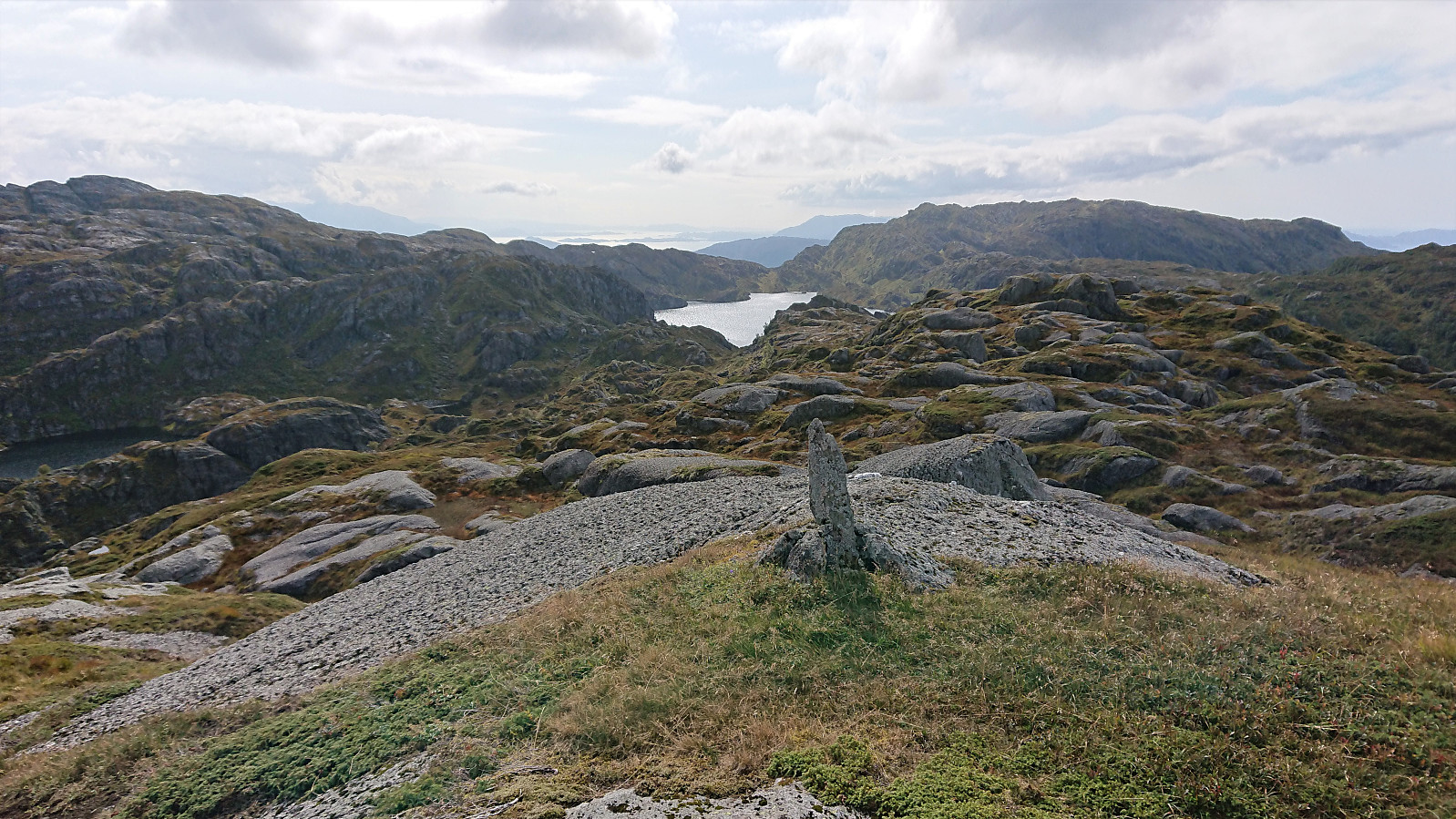
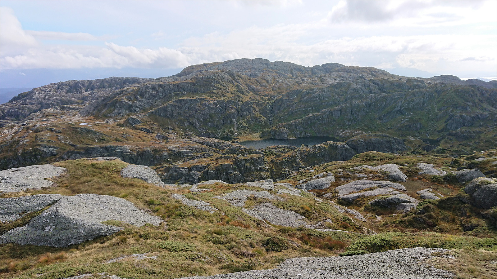
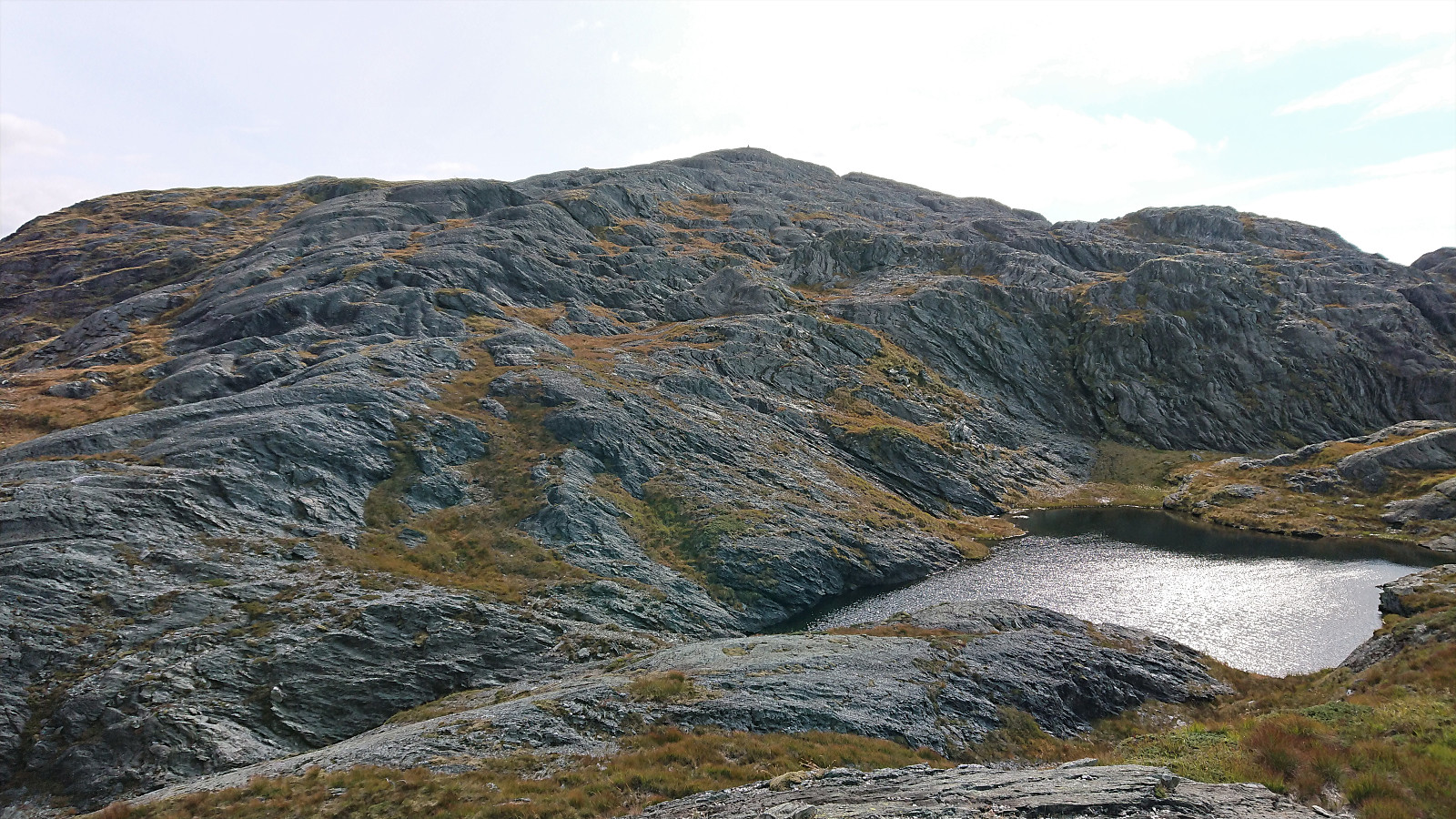
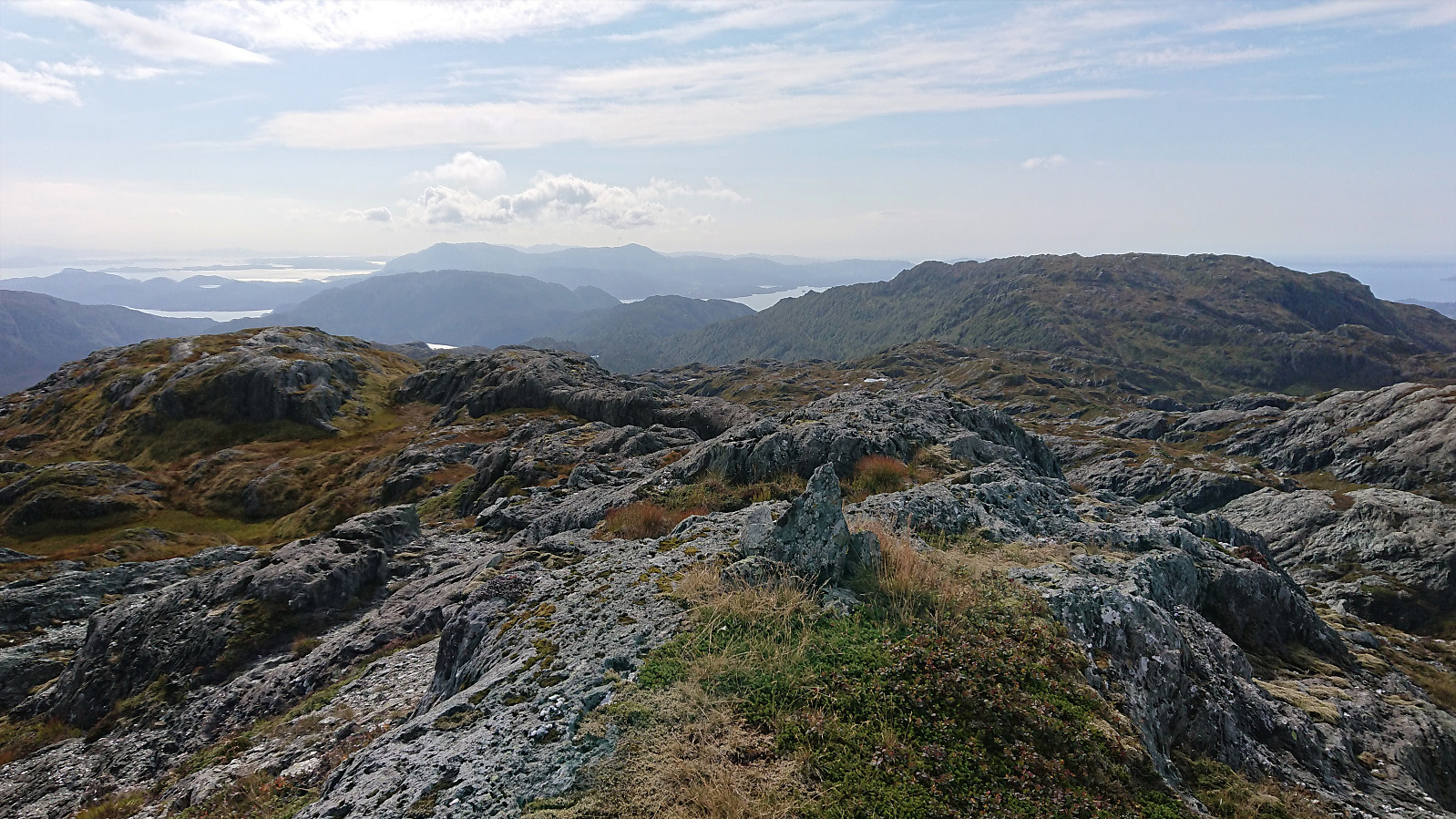
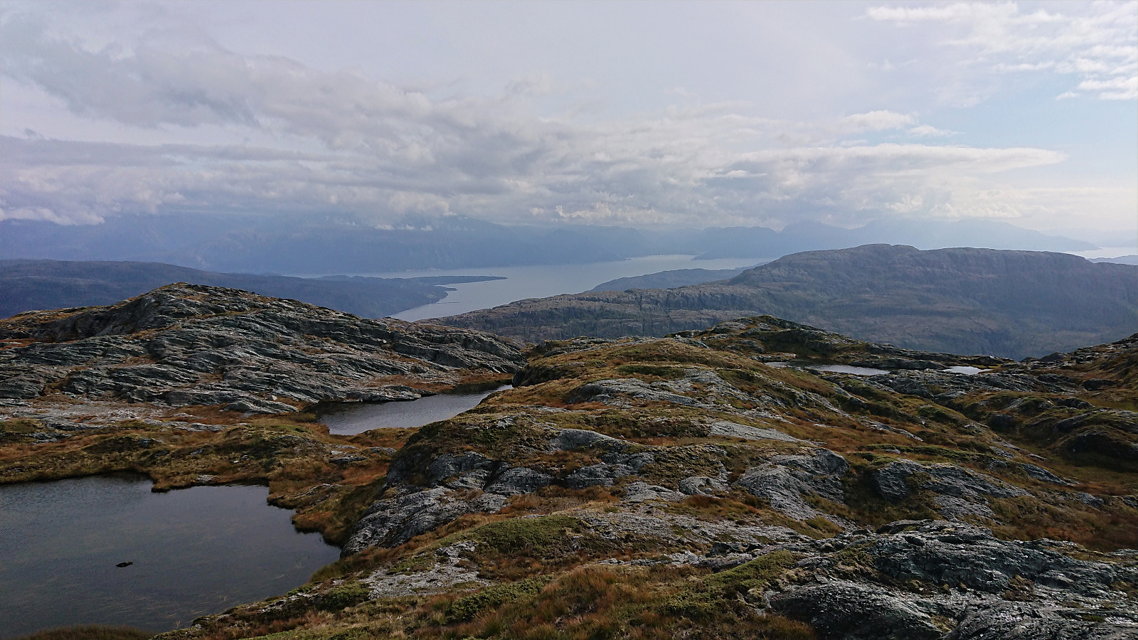
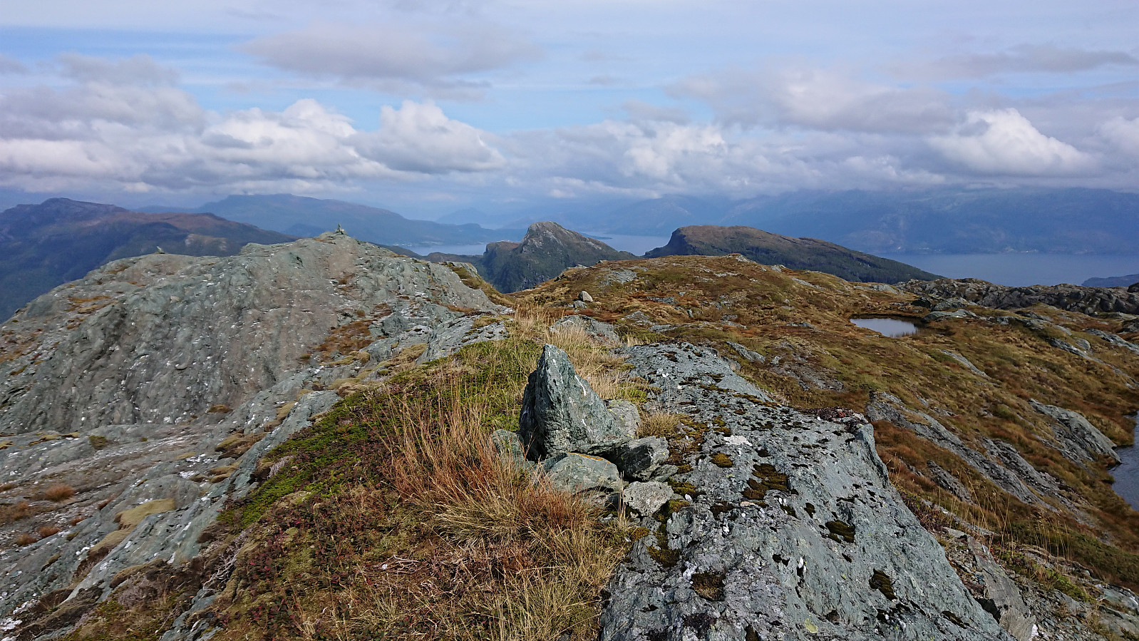
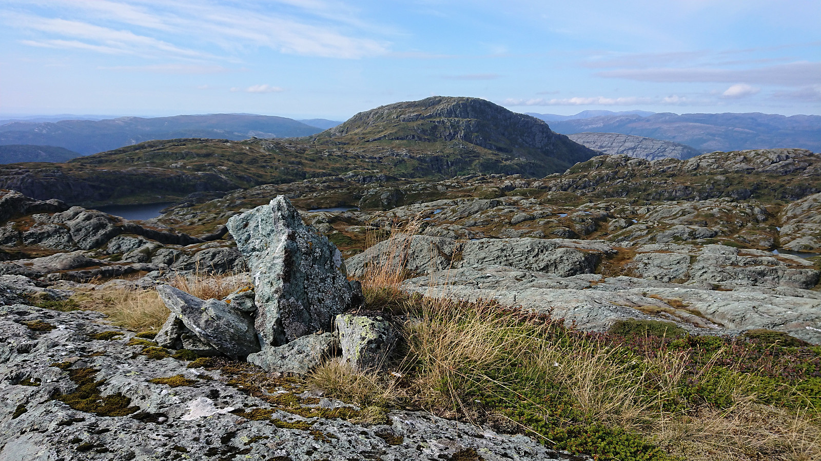
While the terrain in between Våganipen and Lukefjellet is pretty open and with little to no vegetation, it does however contain lots of minor ups and downs mixed with small lakes, resulting in having to pay extra attention to the map in order to avoid too much backtracking, especially as there were no trails as far as I could see. After a detailed look at the map, I decided to return to Bjørndalsetret and restart my ascent from there. In the end, I managed to avoid any backtracking, except for a short detour to Tomravardafjellet which provided excellent views from a larger cairn north of the summit, and made it to the summit of Lukefjellet without any real difficulties. By now the low-hanging clouds had disappeared completely and I could enjoy the excellent views.
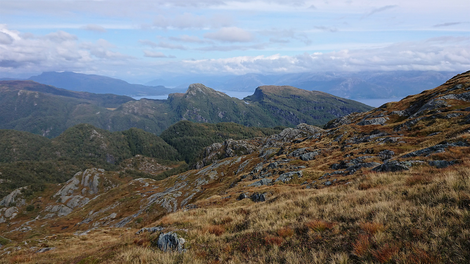
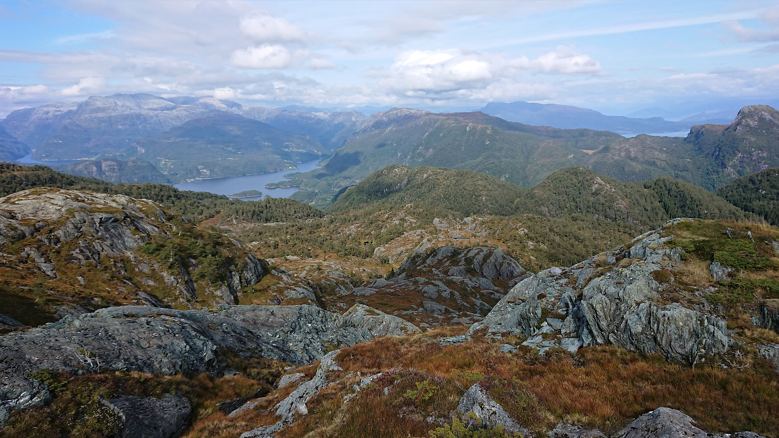
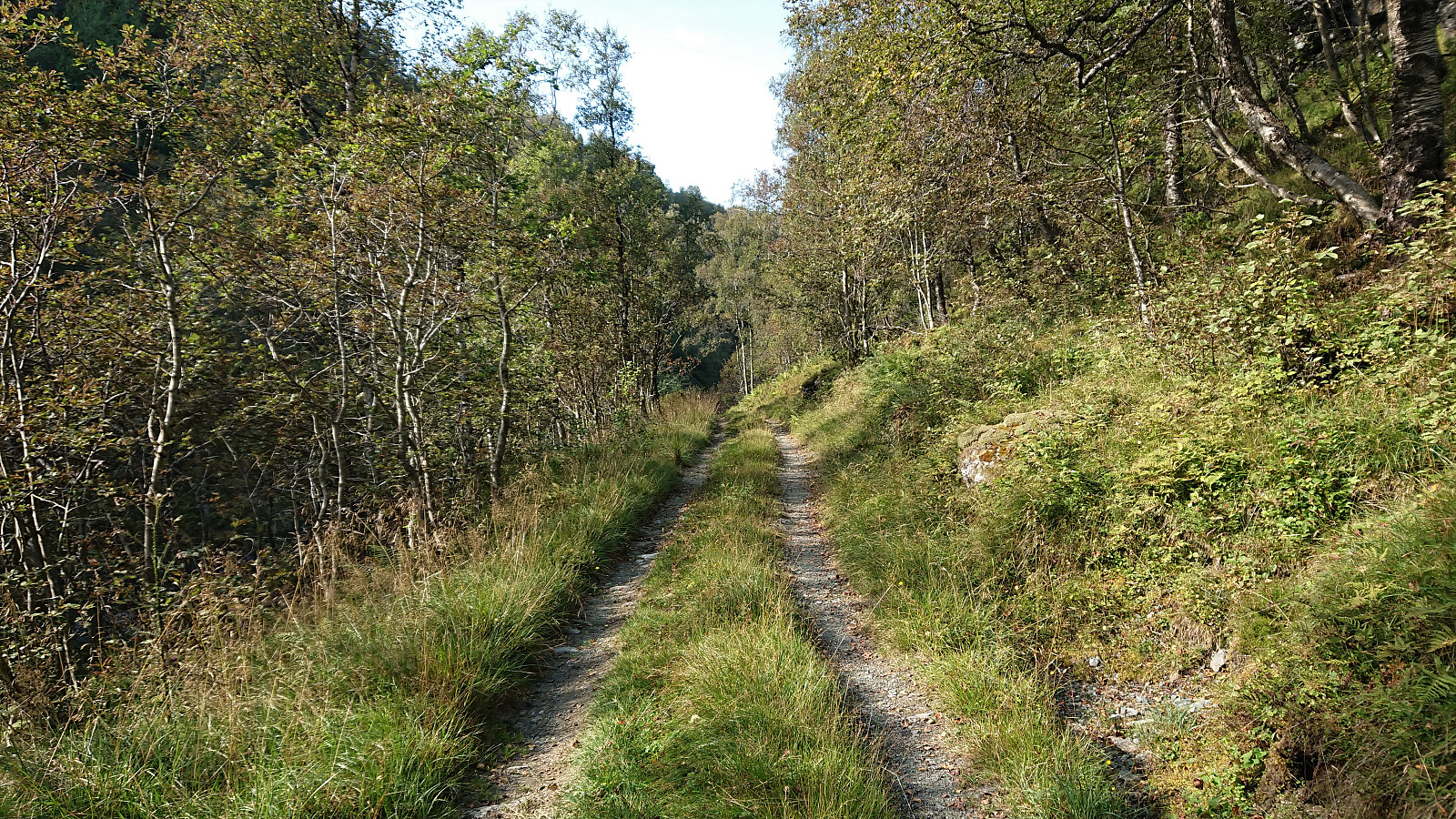
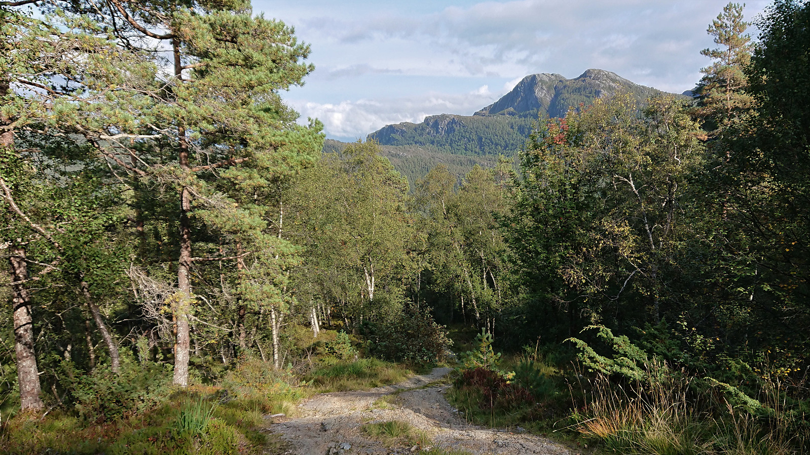
After another short break, I started my descent which more or less followed in the footsteps of previous visitors of Lukefjellet. First relatively steeply along a ridge, before soon connecting with a trail marked with red paint (not sure where this one was ascending to though, as I did not see any signs), and finally ending up at an initially very steep tractor road which later turned more normal and took me all the way down to the bus stop at Medhus by the main road in Mundheimsdalen.
In summary, given that I have not myself tried the ascent of Våganipen from the west, I cannot compare the two, but this route via Henangerskaret is definitely a good alternative and provides very nice scenery along the way. Hiking from Våganipen to Lukefjellet, and descending from Lukefjellet to the tractor road to Medhus, can also be recommended for those liking a bit of off-trail hiking in slightly more challenging terrain.

| Startzeitpunkt | 04.09.2021 10:47 (UTC+01:00 SZ) |
| Endzeitpunkt | 04.09.2021 17:08 (UTC+01:00 SZ) |
| Gesamtzeit | 6h 20min |
| Zeit in Bewegung | 5h 16min |
| Pausenzeit | 1h 04min |
| Gesamtschnitt | 2,7km/h |
| Bewegungsschnitt | 3,2km/h |
| Entfernung | 17,1km |
| Höhenmeter | 1.331m |


Benutzerkommentare
Nice!
Geschrieben von HHauser 06.09.2021 10:50So nice, so interesting! I've thought myself about ascending to Våganipen from the north (haven't done or attempted so yet though) and now I know that this is definitely an interesting idea! Thanks for the report!
Re: Nice!
Geschrieben von hbar 06.09.2021 18:39Thanks! Most of the credit ought to go to the person adding the trip suggestion at ut.no though. As I don't think I would have attempted this ascent without that knowledge. :)