
Vossamarsjen 2021 + Skorane, Nansenbu and Torfinnshorgi (21.08.2021)

Written by hbar (Harald Barsnes)

| Start point | Hodnaberg p-plass (593m) |
|---|---|
| Endpoint | Gjelle (283m) |
| Characteristic | Hillwalk |
| Duration | 7h 19min |
| Distance | 27.7km |
| Vertical meters | 1,288m |
| GPS |
|
| Ascents | Gråsidetoppen (1,309m) | 21.08.2021 |
|---|---|---|
| Skorane (1,045m) | 21.08.2021 | |
| Torfinnshorgi (1,343m) | 21.08.2021 | |
| Visits of other PBEs | Hodnaberg p-plass (595m) | 21.08.2021 |
| Nansenbu (1,184m) | 21.08.2021 | |
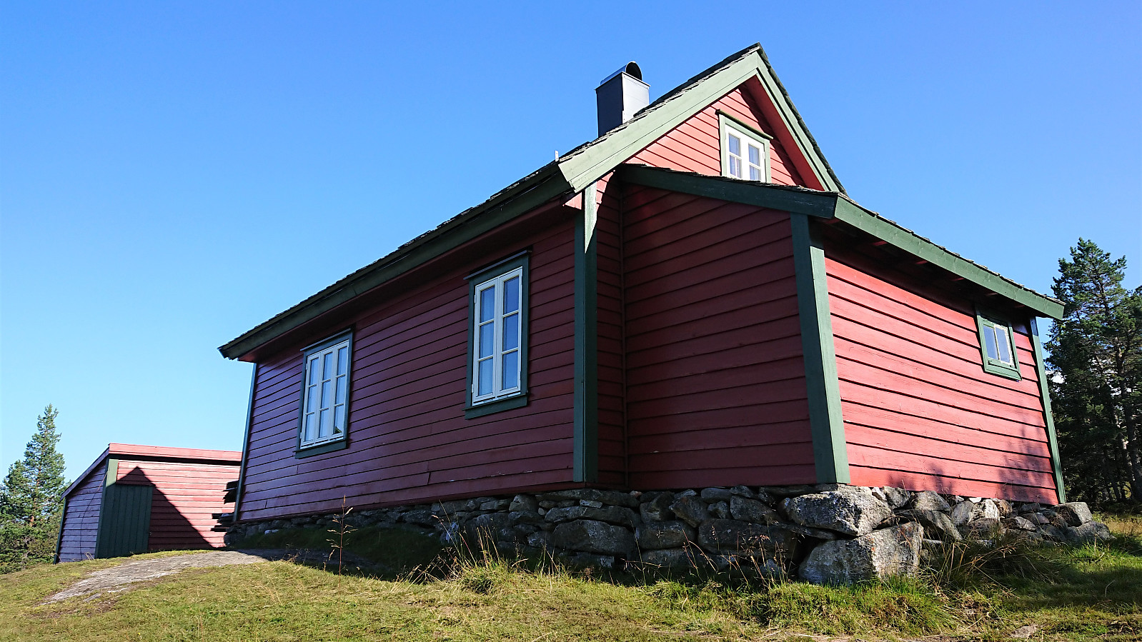
| Rosethytta (674m) | 21.08.2021 | |
| Timaglaset (1,230m) | 21.08.2021 | |
| Torfinnsheim (893m) | 21.08.2021 |
Vossamarsjen 2021 + Skorane, Nansenbu and Torfinnshorgi

Vossamarsjen is a yearly hike organized by the Norwegian Trekking Association, or more specifically Voss Utferdslag, starting from Hodnaberg and following the T-marked trail via Torfinnsheim, Timaglaset, Gråsidetoppen and Roset, before ending up at Gjelle. My plan was to take advantage of the joint bus transportation from/to Voss and follow most of the official Vossamarsjen route, but also make a couple of minor detours to along the way.
I therefore got up at 05:00 on a Saturday morning for the first train to Voss. After waiting close to 45-minutes for the next (and last) organized bus ride, we all finally left Voss just after 09:00. Note that due to roadwork close to Narheim, the earlier buses had all gone via Bergsdalen, but we thankfully got to skip this longer detour by instead walking past the roadwork and hopping on a second bus on the other side.
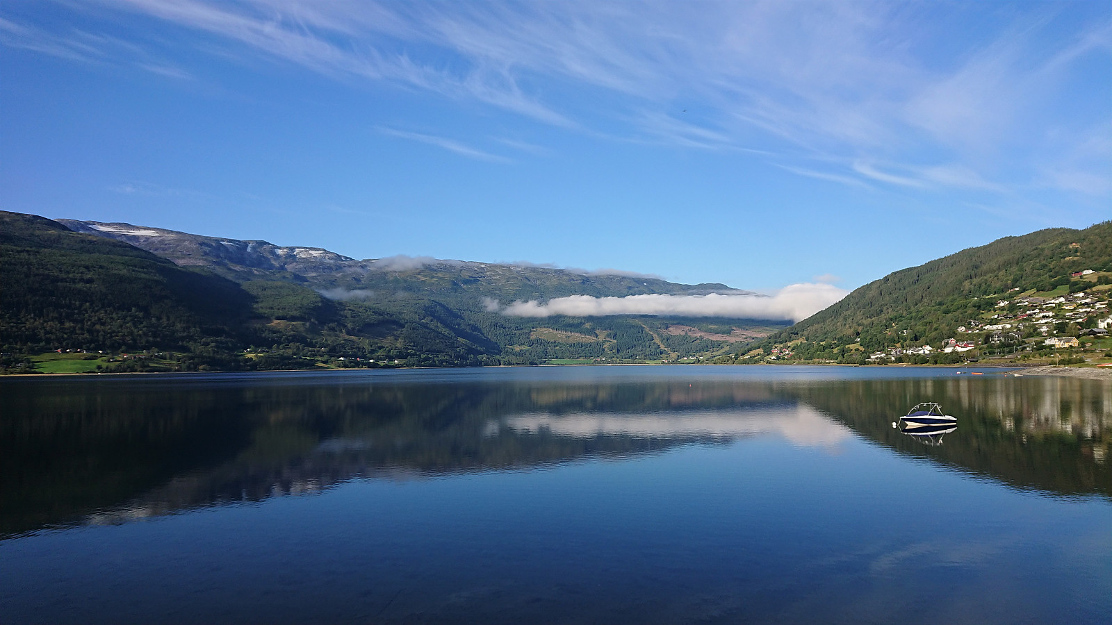
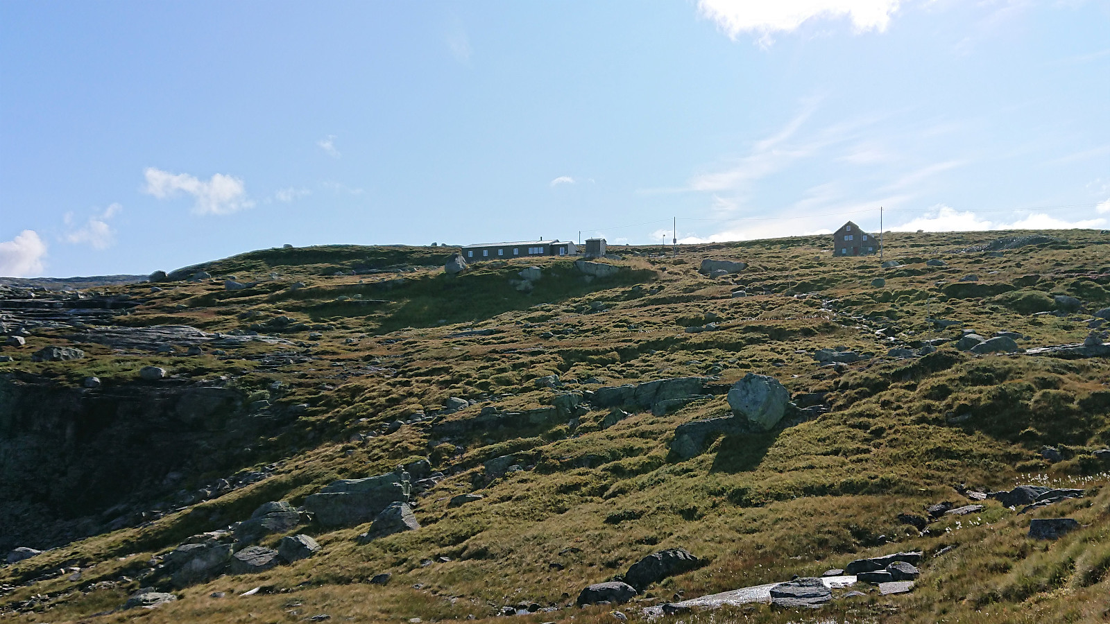
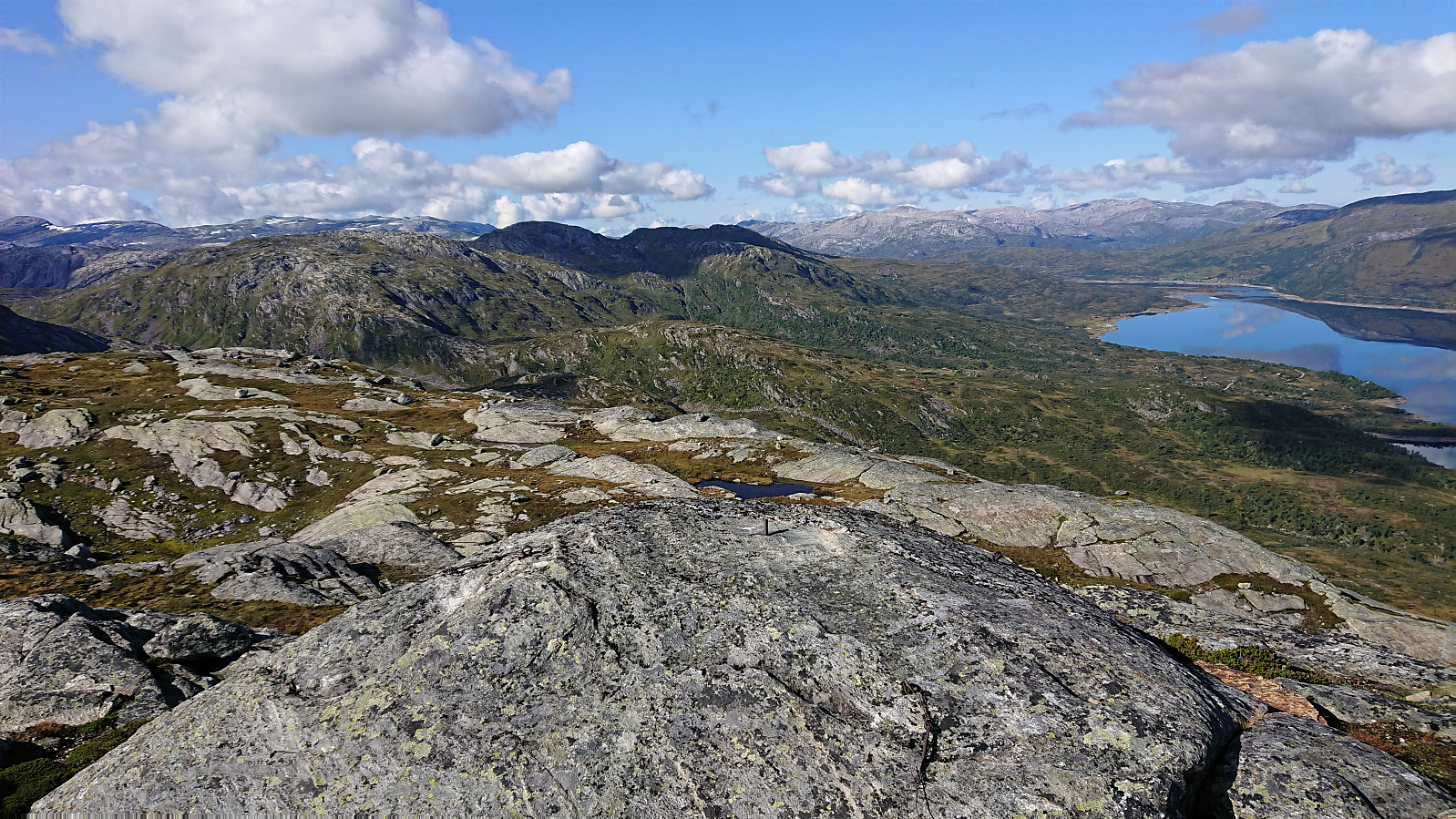
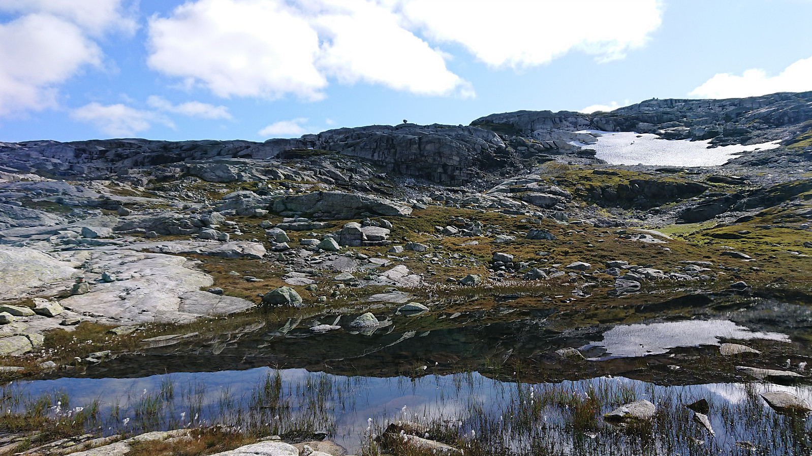
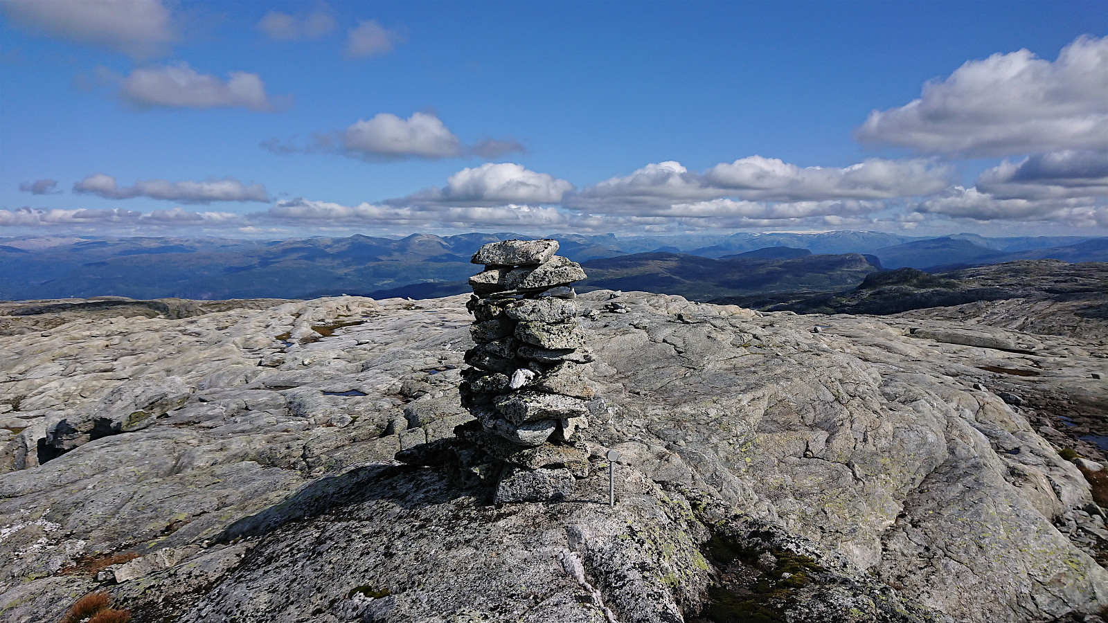
At 09:45 we arrived at the parking lot at Hodnaberg and the hike could finally start. Upon reaching Torfinnsheim, I was ahead of all of the other hikers from the same bus, and therefore had have plenty of time for my first planned detour to Skorane. First, south along a T-marked trail and later off-trail to the summit, which was reached without any issues and provided excellent views across the northeastern part of Hamlagrøvatnet.
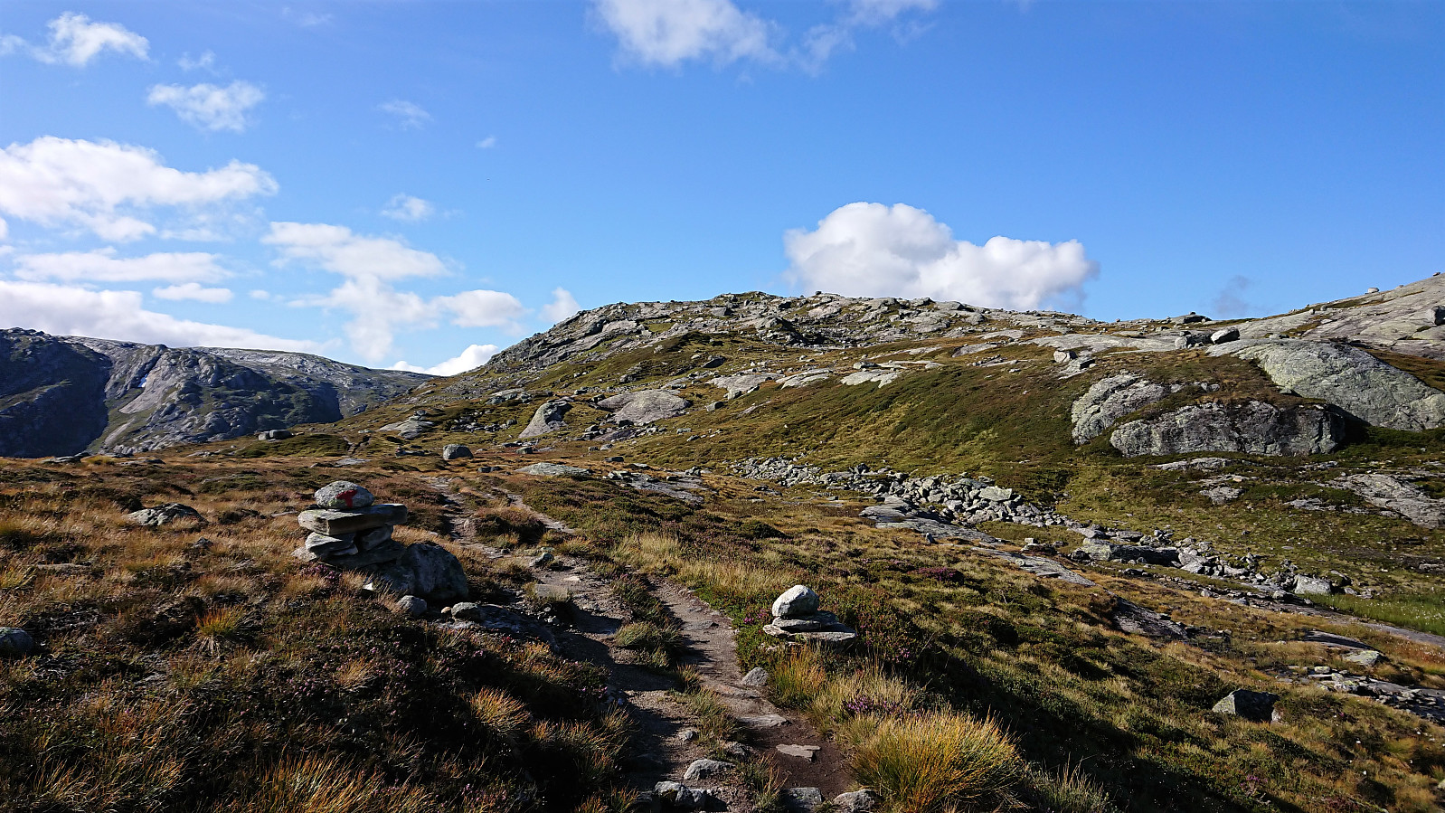
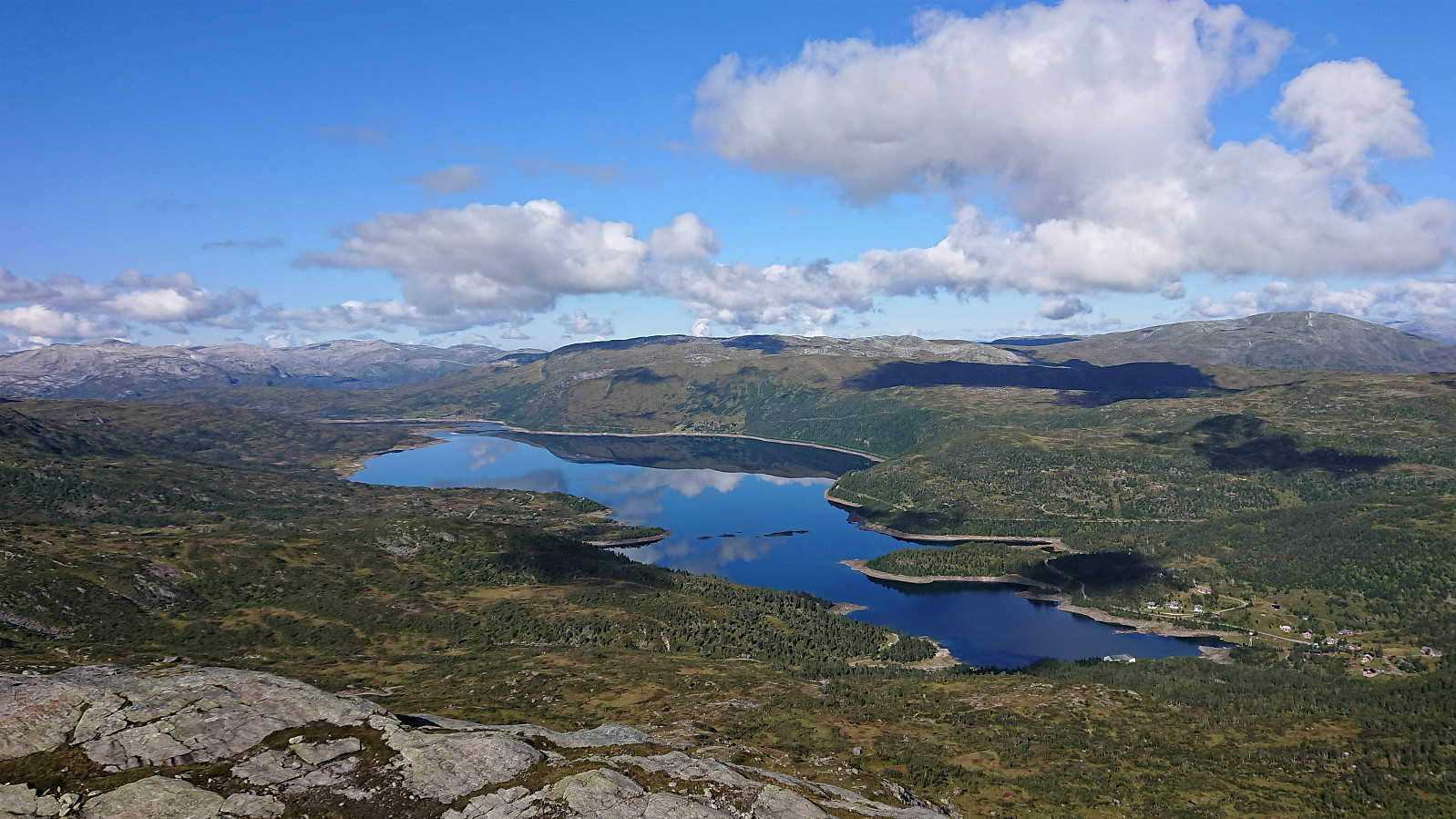
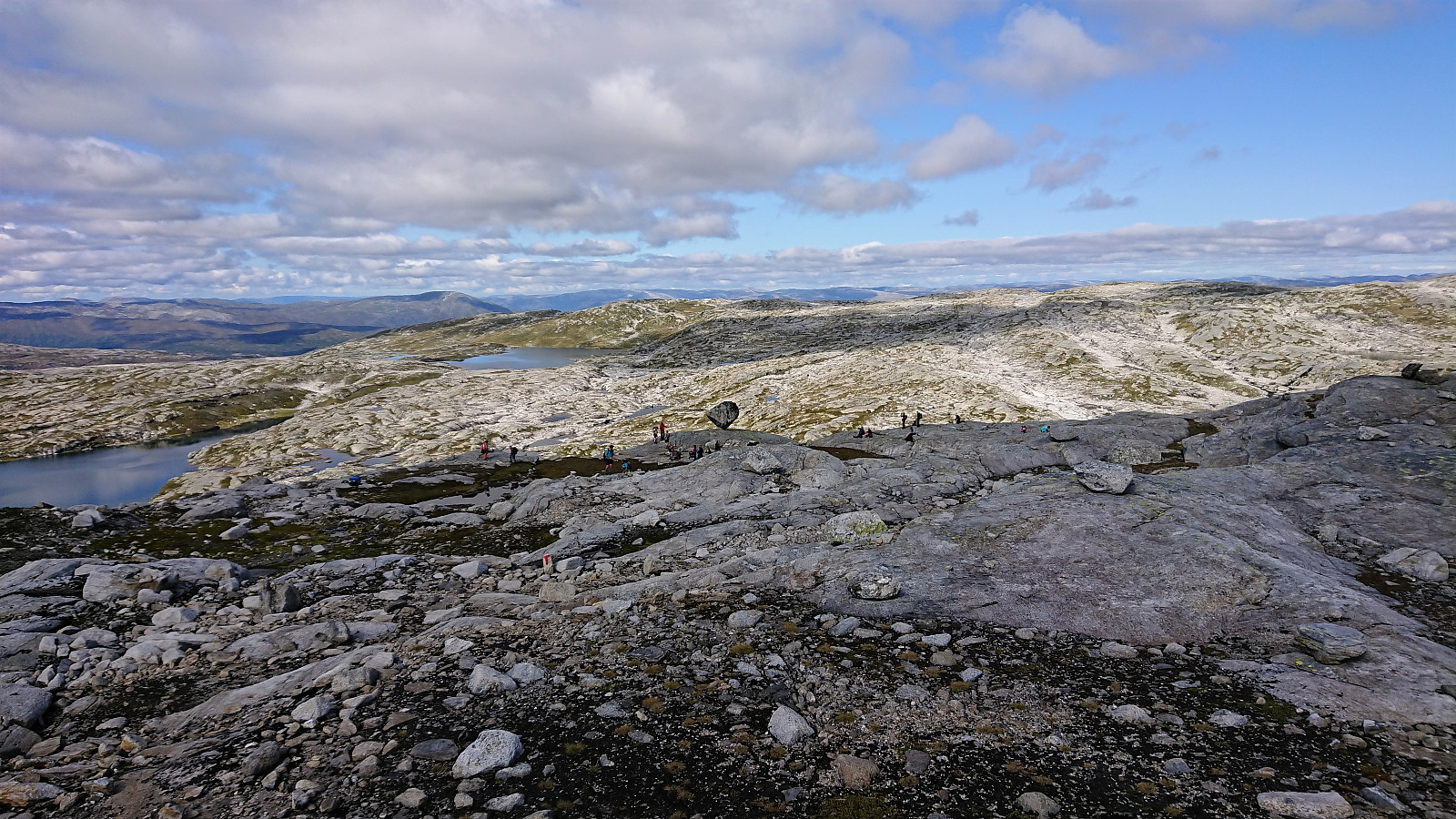
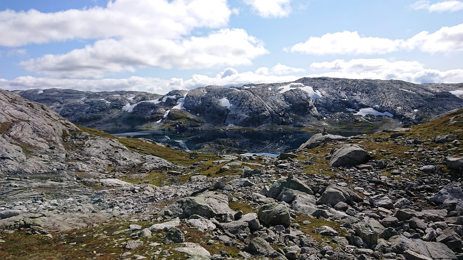
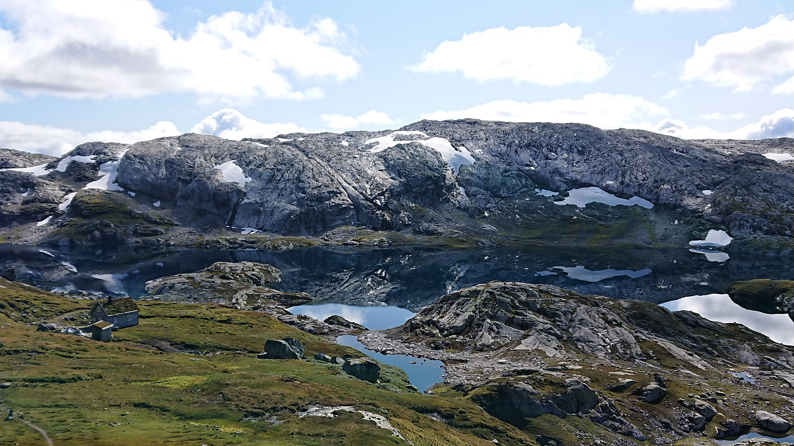
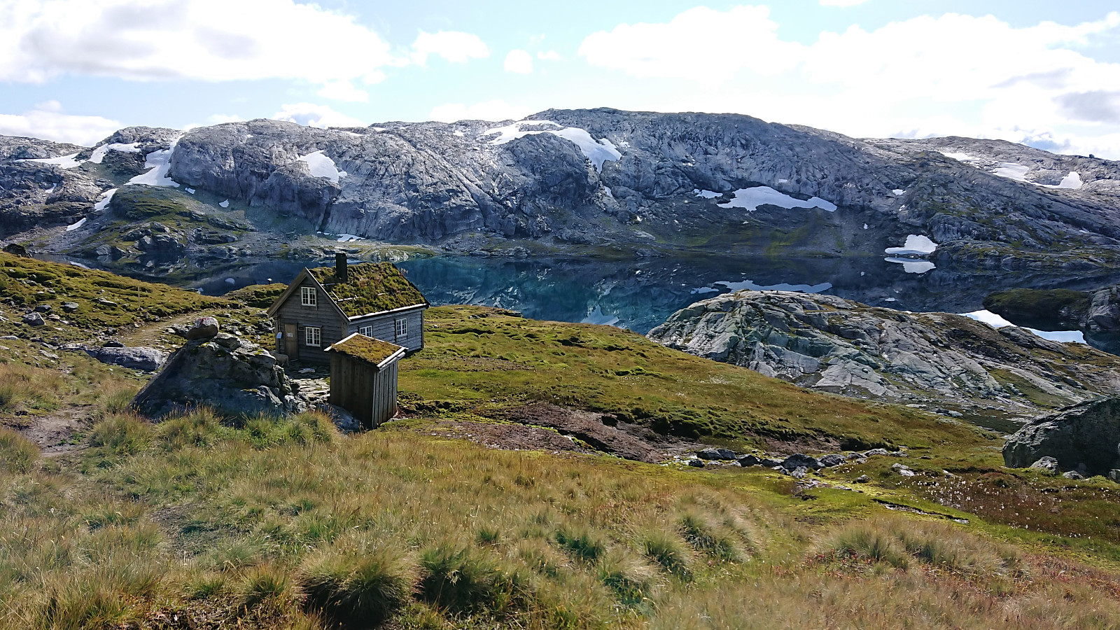
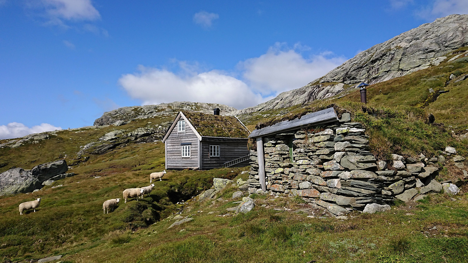
After returning to Torfinnsheim and the marked trail, I continued to Timaglaset, passing many of the other Vossamarsjen hikers along the way. Shortly after Timaglaset, I again left the official Vossamarsjen route, it continued directly to Gråsidetoppen, and instead made a detour to Nansenbu. The final part of the descent to Nansenbu ended up being the highlight of the hike, with Hjortahorgi mirrored in the perfectly still Stora Torfinndalsvatnet! The perfect location for my lunch break.
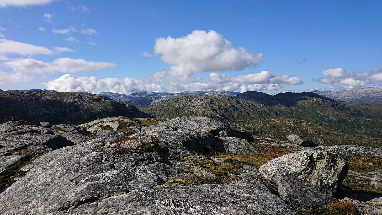
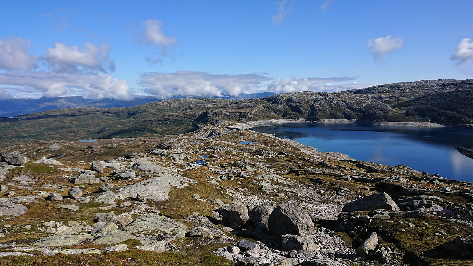
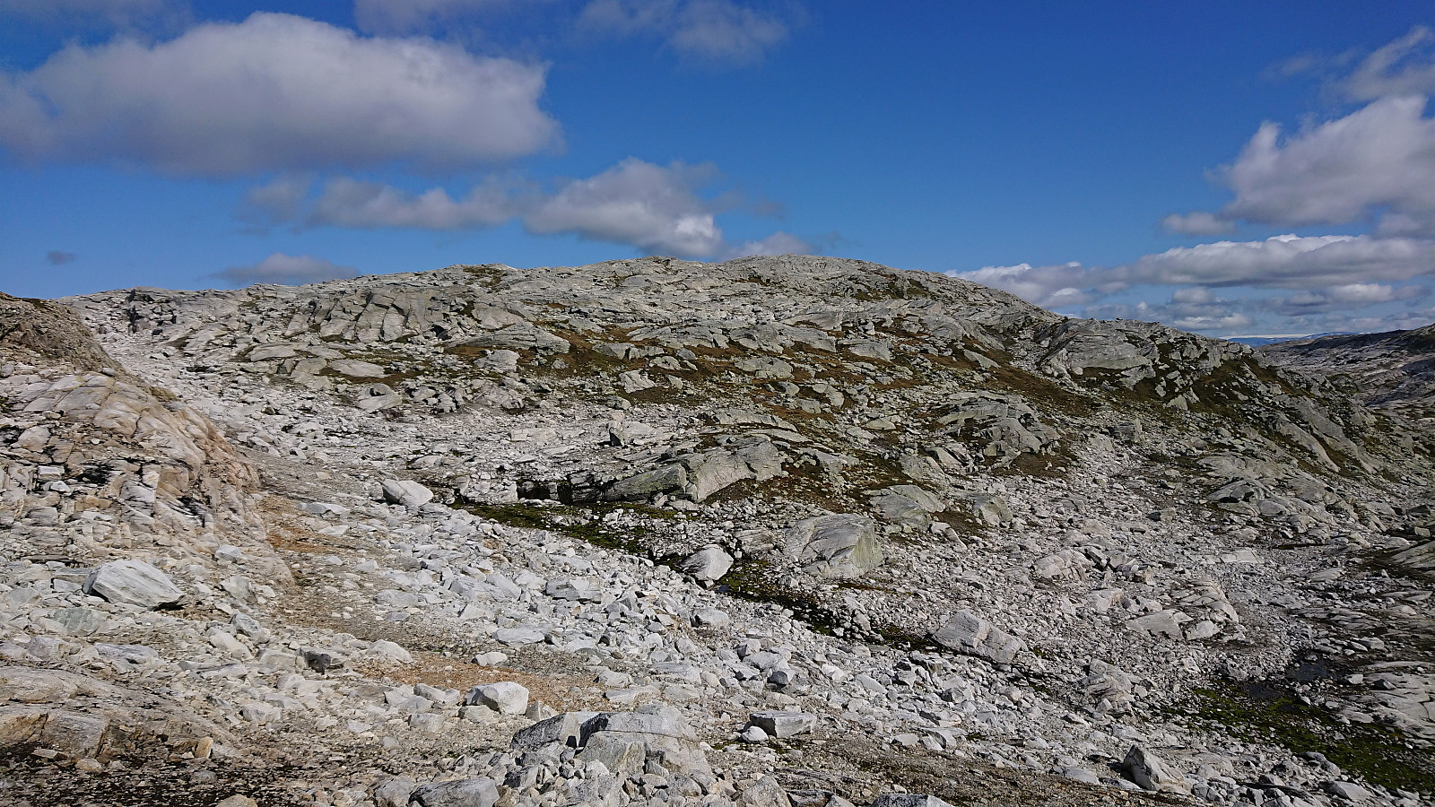
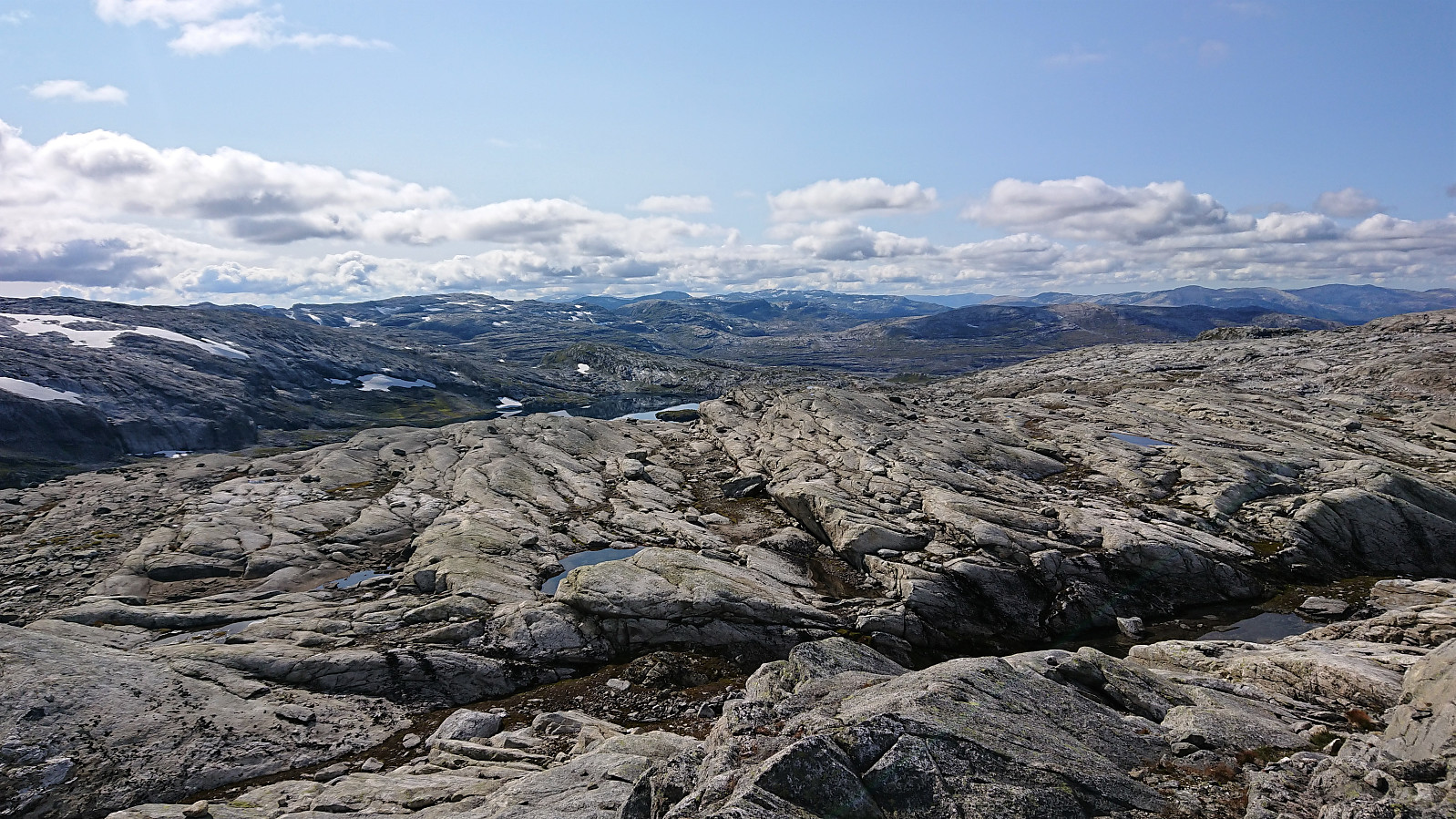
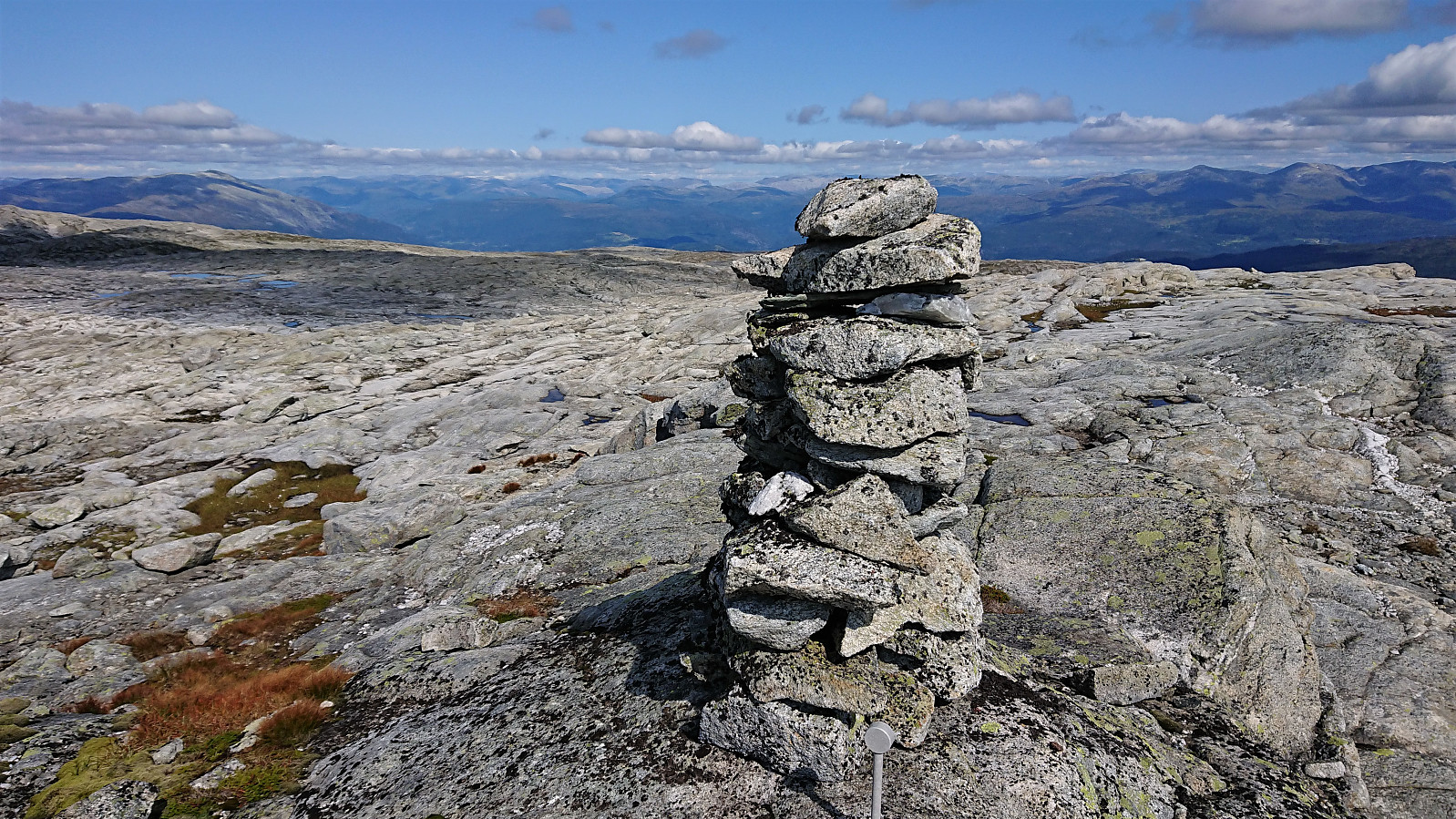
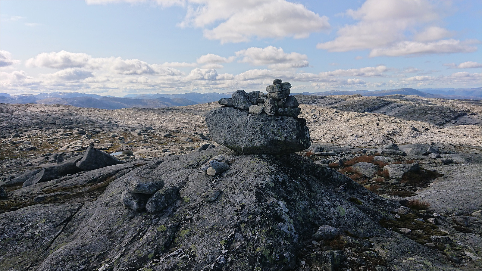
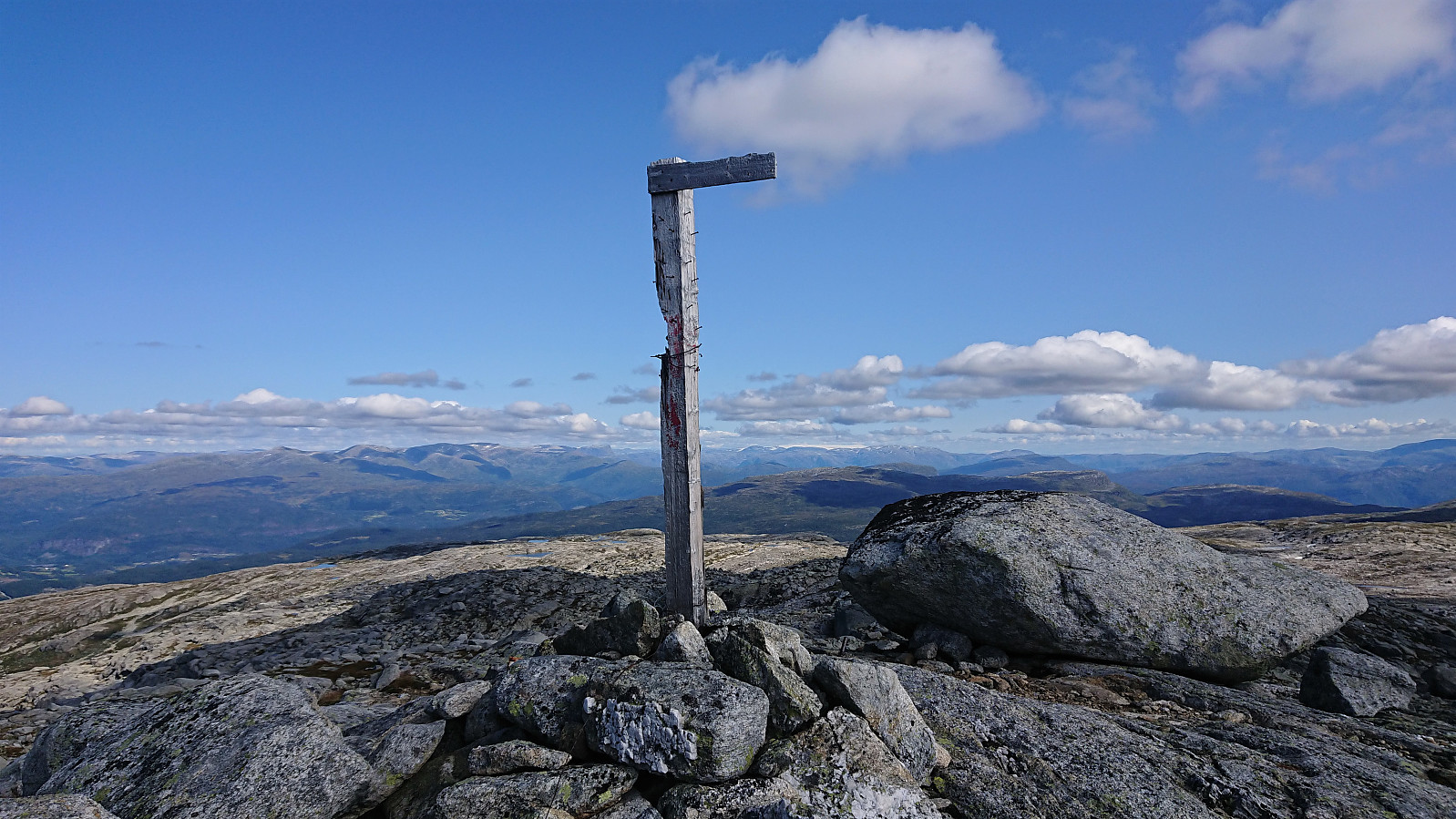
From Nansenbu I headed more or less straight for the summit of Torfinnshorgi. No trails, but the terrain did not provide any issues and the summit was easily reached. Another summit with excellent panoramic views. I however did not stay long before turning north to reconnect with the marked trail and the official Vossamarsjen route. No trails in this direction either, but the terrain was easy to traverse.
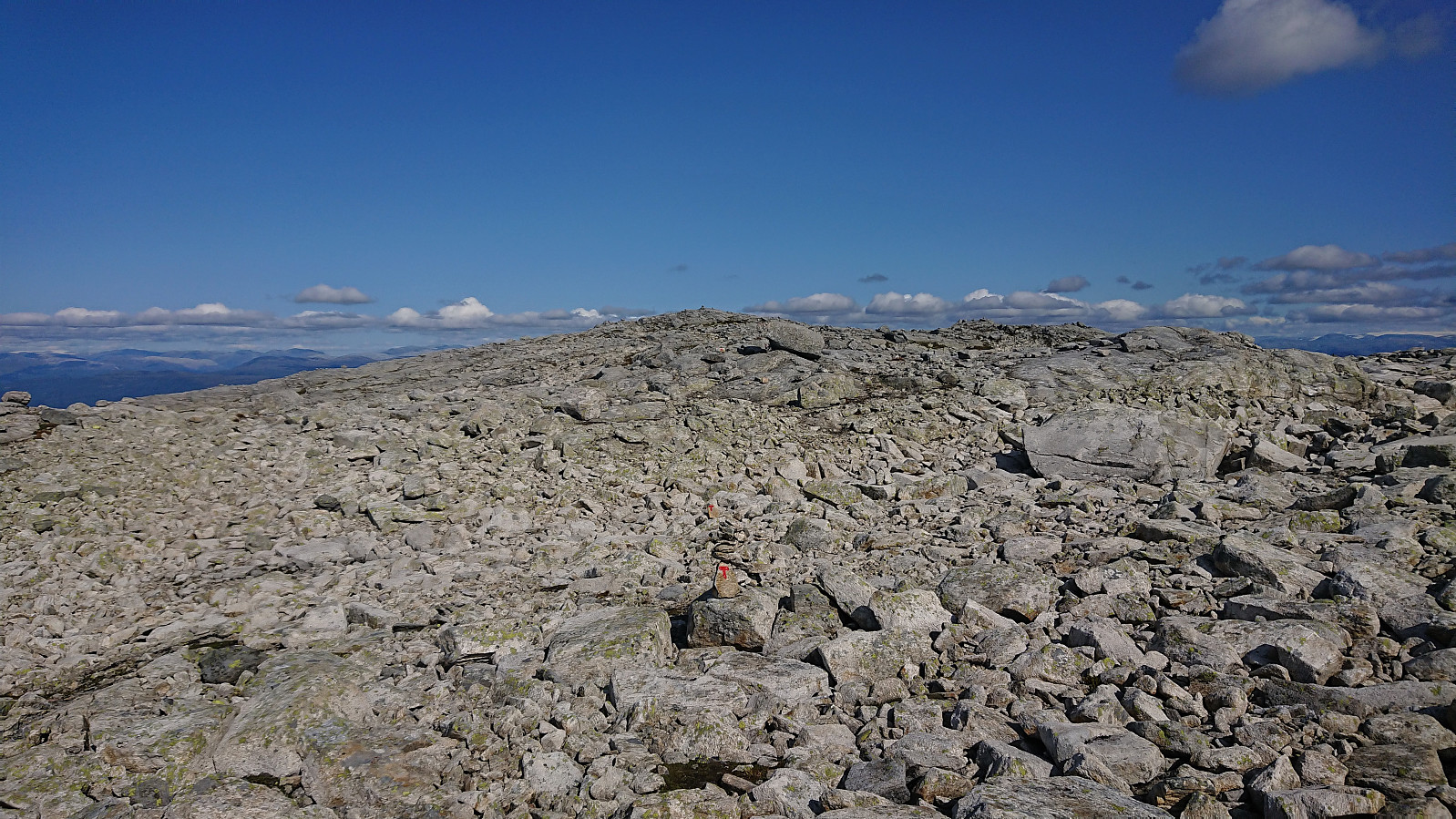
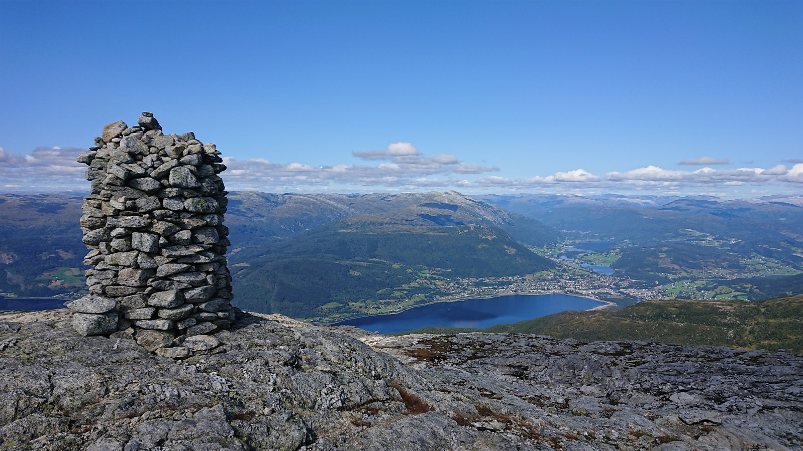
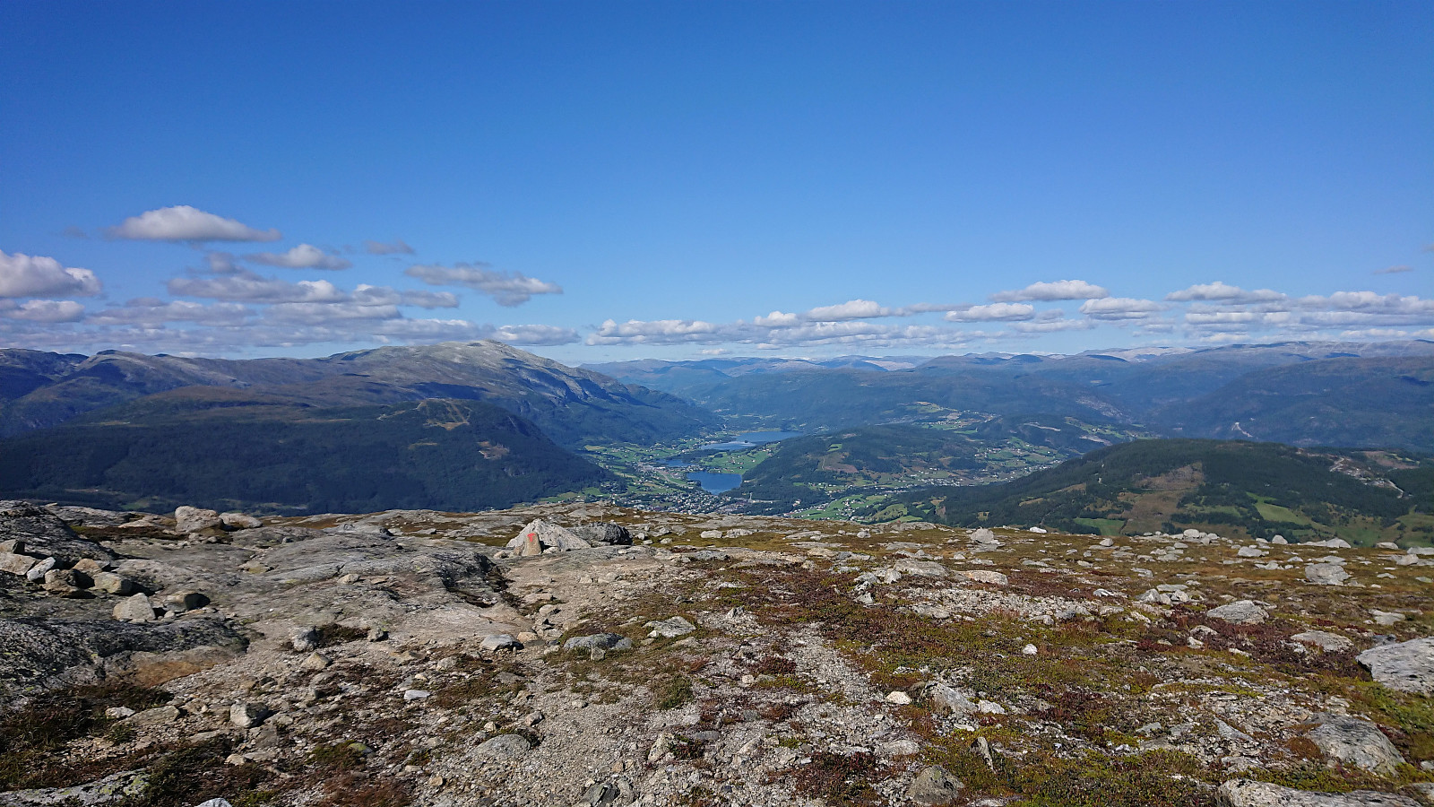
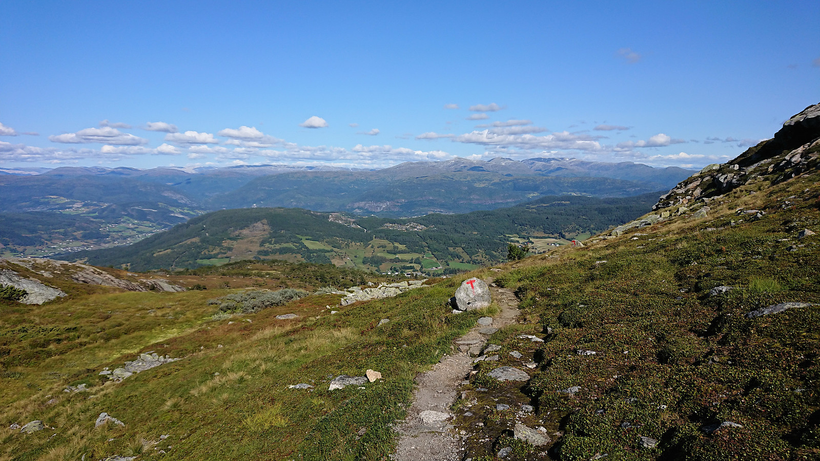
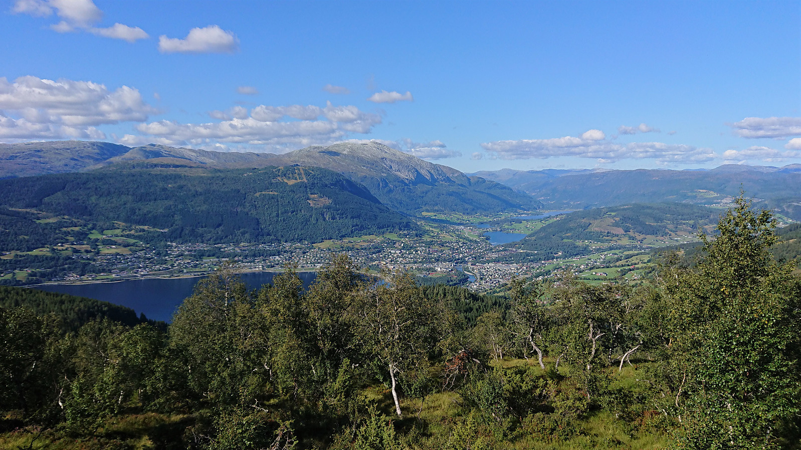
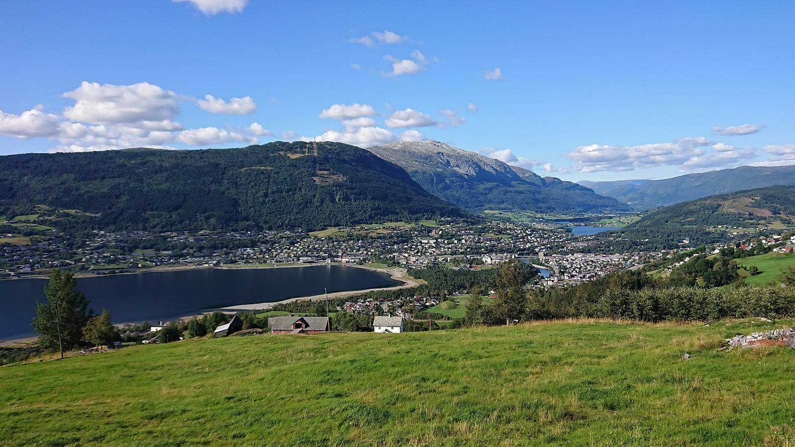
Back on the marked trail, I quickly arrived at Gråsidetoppen, which provided very nice views towards Vossevangen and included the largest cairn of the day. It was now time for the almost 1000 meters descent to Gjelle. Very nice, but took slightly longer than expected due to lots of minor ups and downs along the way. When finally reaching Gjelle, all Vossamarsjen hikers were welcomed with warm meat stew and cold lemonade: a perfect ending to a long hike! If only all of my other hikes would end this way... ;)
In summary, Vossamarsjen is a very nice hike that can be highly recommended. My extended version with detours to Skorane, Nansenbu and Torfinnshorgi can also be classified as a success and was an excellent way of getting to visit both Skorane and Torfinnshorgi without having to depend on access to a car.
| Start date | 21.08.2021 09:47 (UTC+01:00 DST) |
| End date | 21.08.2021 17:07 (UTC+01:00 DST) |
| Total Time | 7h 19min |
| Moving Time | 6h 48min |
| Stopped Time | 0h 31min |
| Overall Average | 3.8km/h |
| Moving Average | 4.1km/h |
| Distance | 27.7km |
| Vertical meters | 1,287m |


User comments