
Fannaråken from Turtagrø (01.08.2021)

Written by hbar (Harald Barsnes)

| Start point | Turtagrø parkering (881m) |
|---|---|
| Endpoint | Turtagrø parkering (881m) |
| Characteristic | Hillwalk |
| Duration | 7h 49min |
| Distance | 19.2km |
| Vertical meters | 1,455m |
| GPS |
|
| Ascents | Fannaråki (2,068m) | 01.08.2021 |
|---|---|---|
| Visits of other PBEs | Fannaråkhytta (2,068m) | 01.08.2021 |
| Turtagrø parkering (881m) | 01.08.2021 |
Fannaråken from Turtagrø
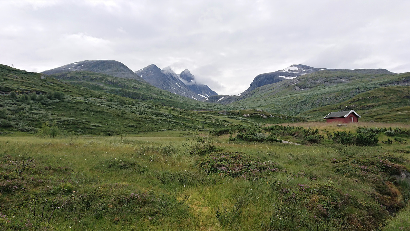
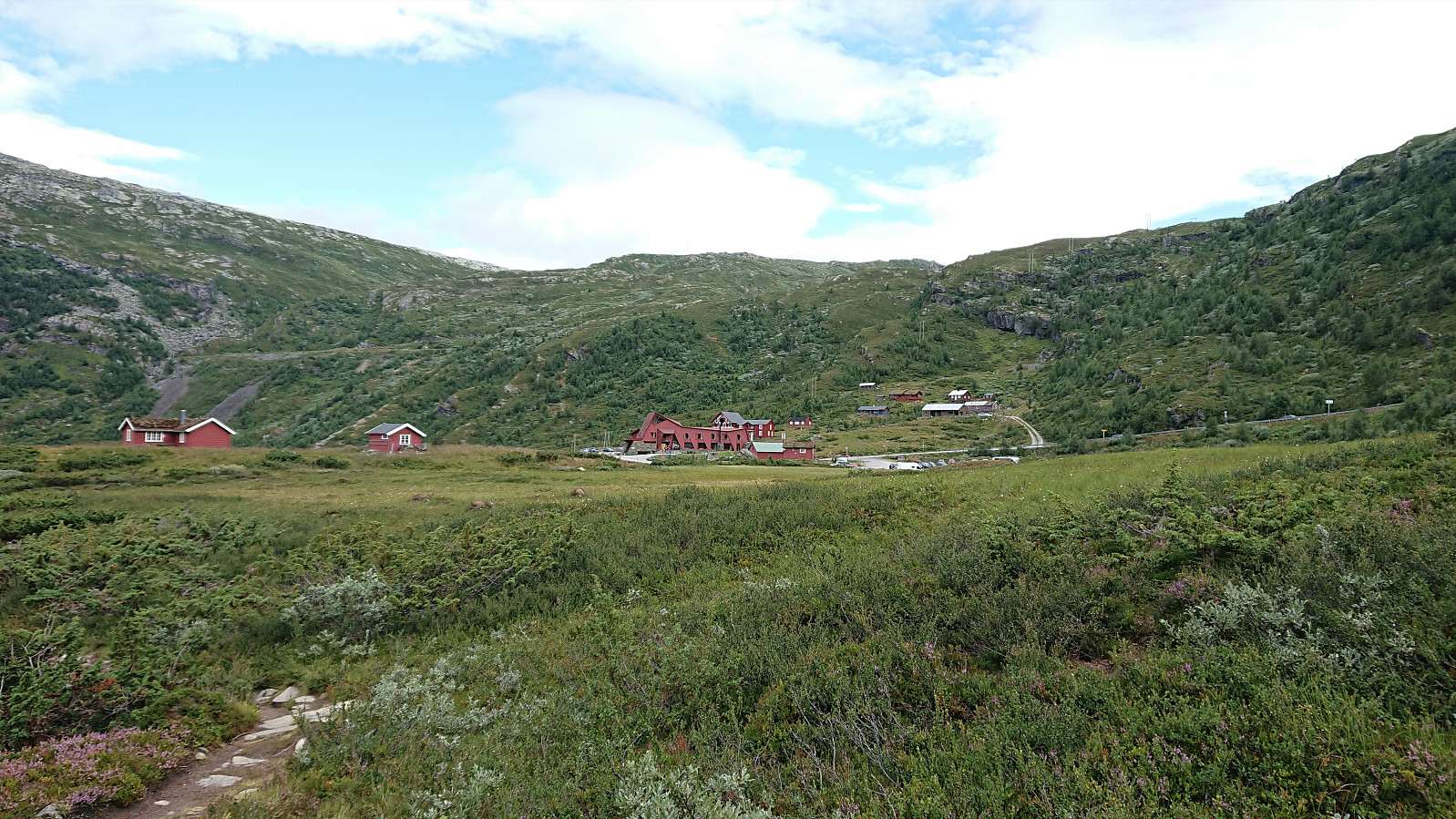
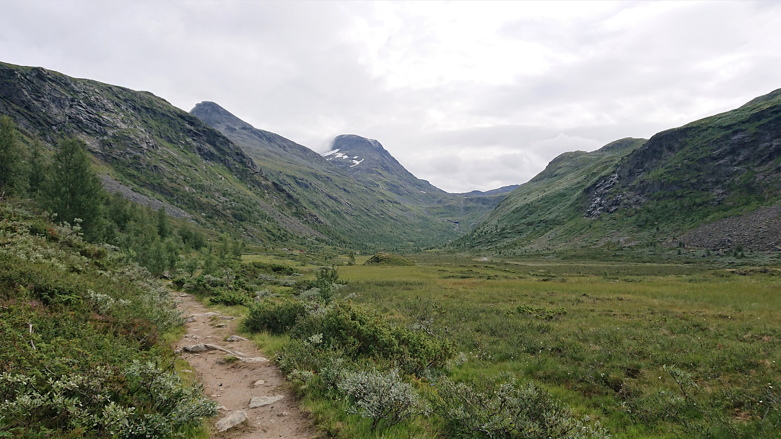
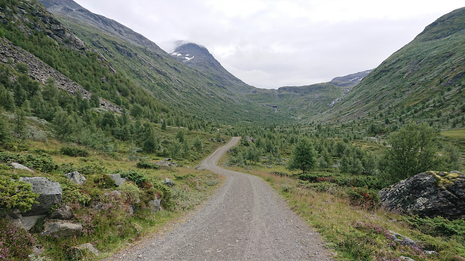
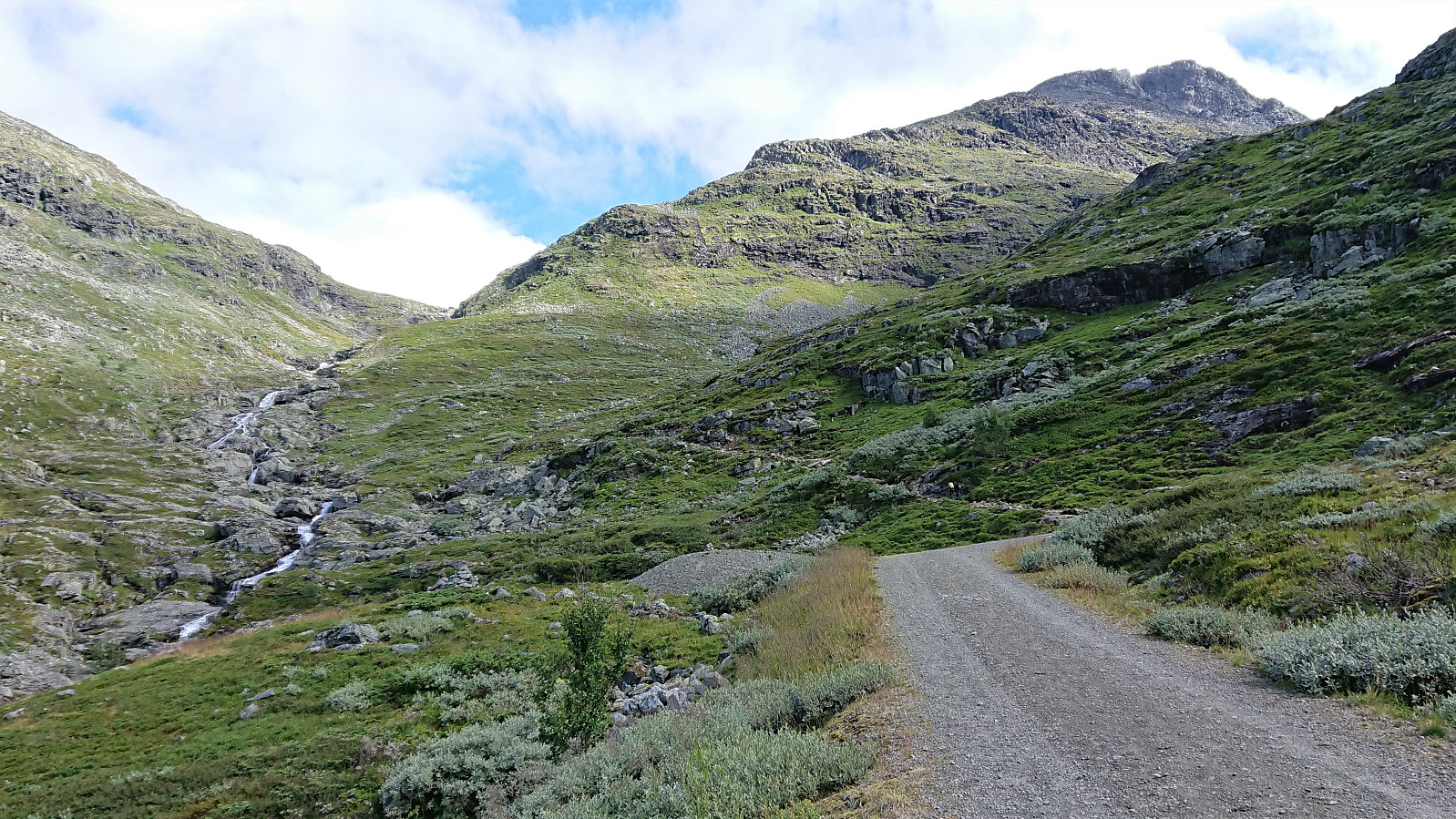
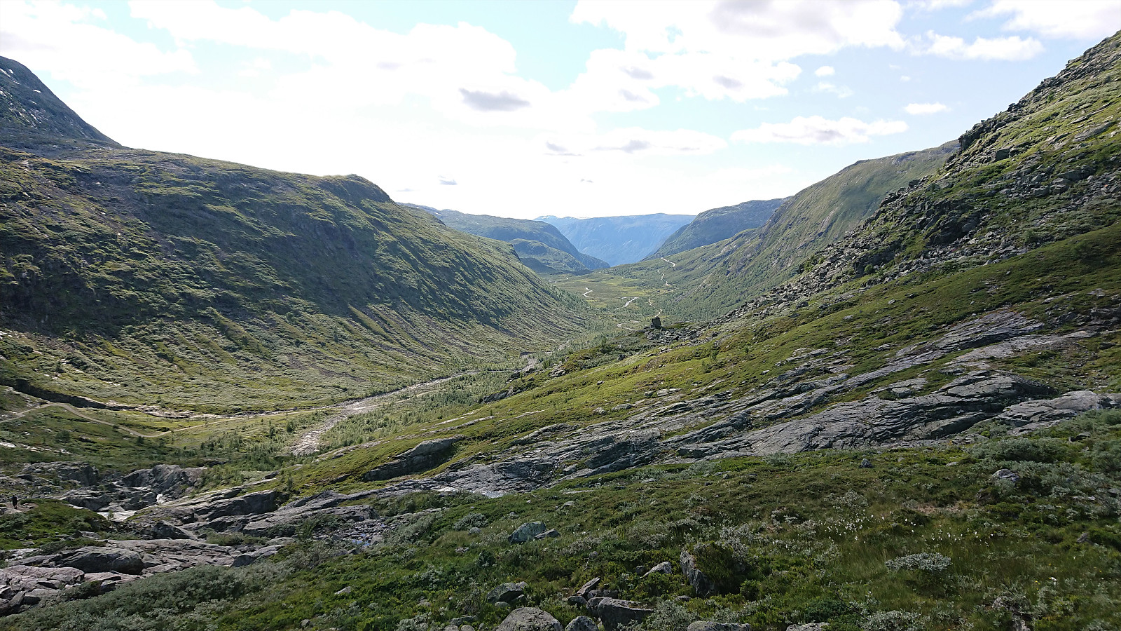
We drove from Sogndal to Turtagrø and parked at the opposite side of the road from Turtagrø Hotell. Lots of other hikers at Turtagrø, but as soon as we started on the trail towards Helgedalen, the number of people rapidly decreased and we soon found ourselves all on our own. (In fact, we would meet less than 50 people for the entire hike.) We shortly connected with the gravel road in Helgedalen, which we then proceeded to follow until reaching the marked trail for Fannaråken below Ekrehytta.
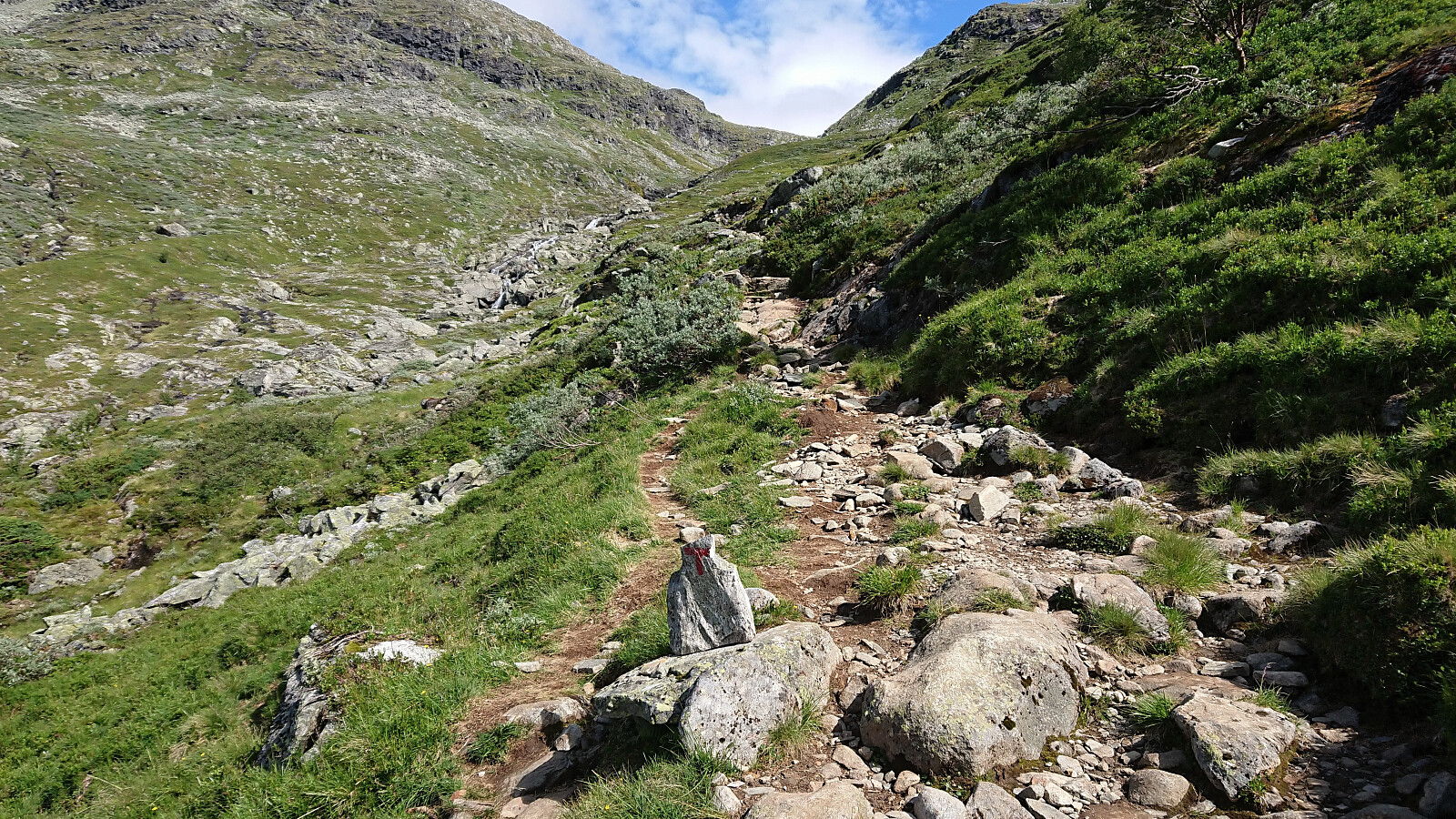
After this easy start of just over 200 vertical meters spread out over a bit less than 5 km, the real hike started with another 900 meters left to climb over less than half the distance. The trail was clearly marked and overall easy to follow, and there were only a couple of short sections early on where hikers with a severe fear of heights might struggle. We actually met a couple that had turned back because one of them was uncomfortable with the steep drop next to the trail. I do not think that most hikers will have any issues though and we did not think much about this ourselves.
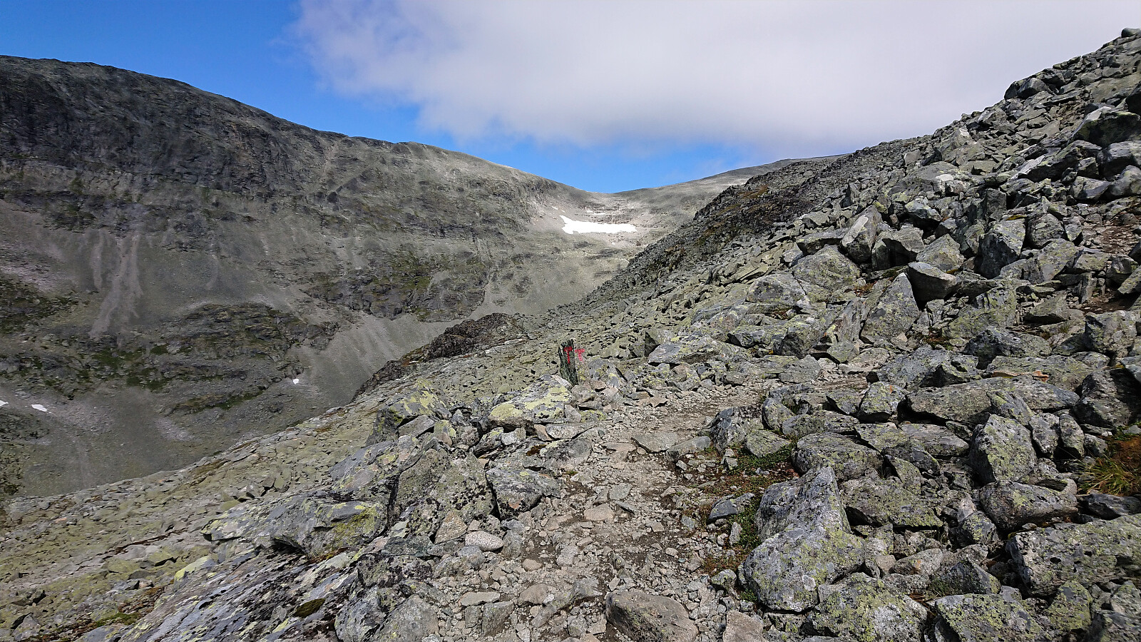
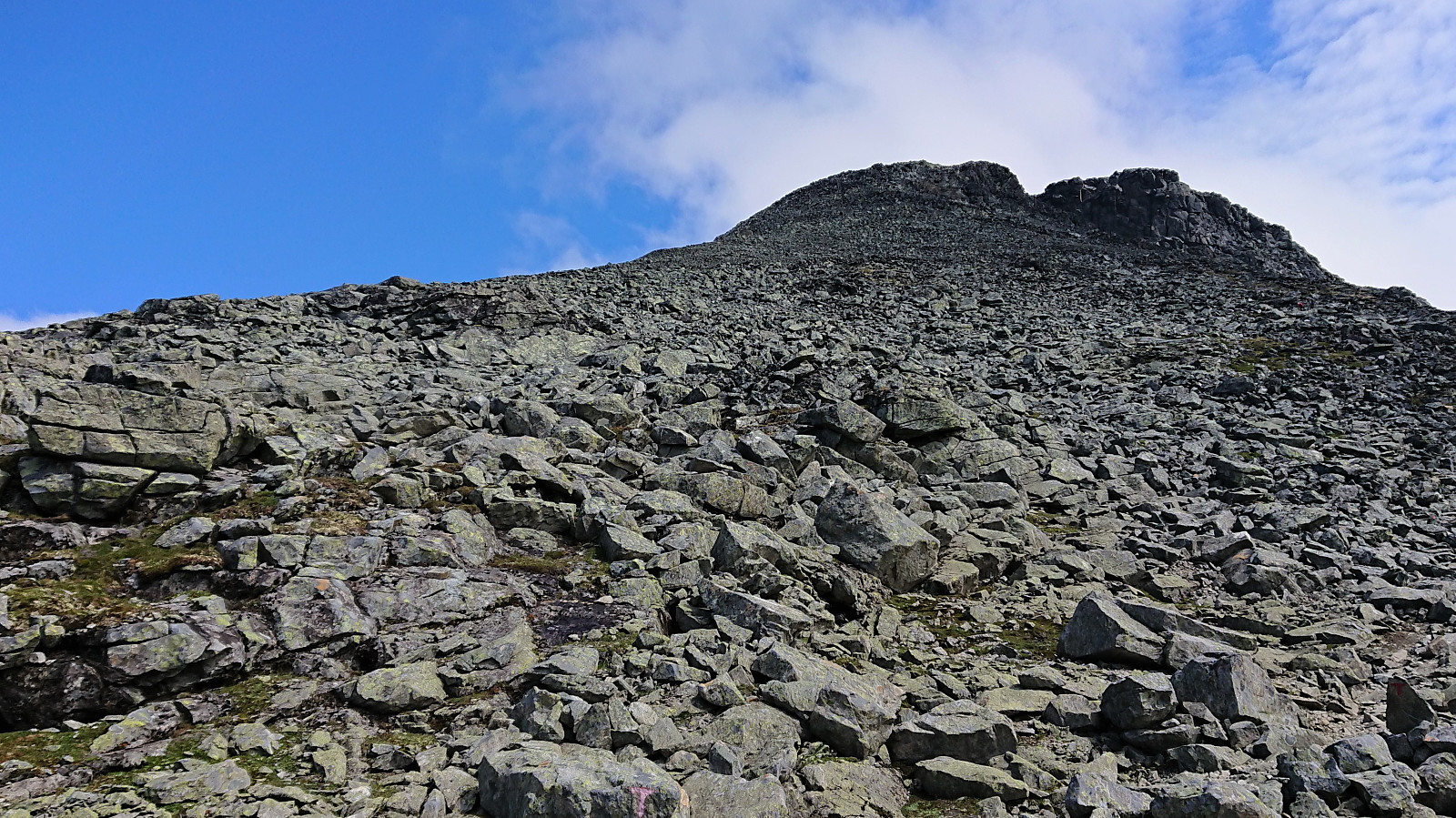
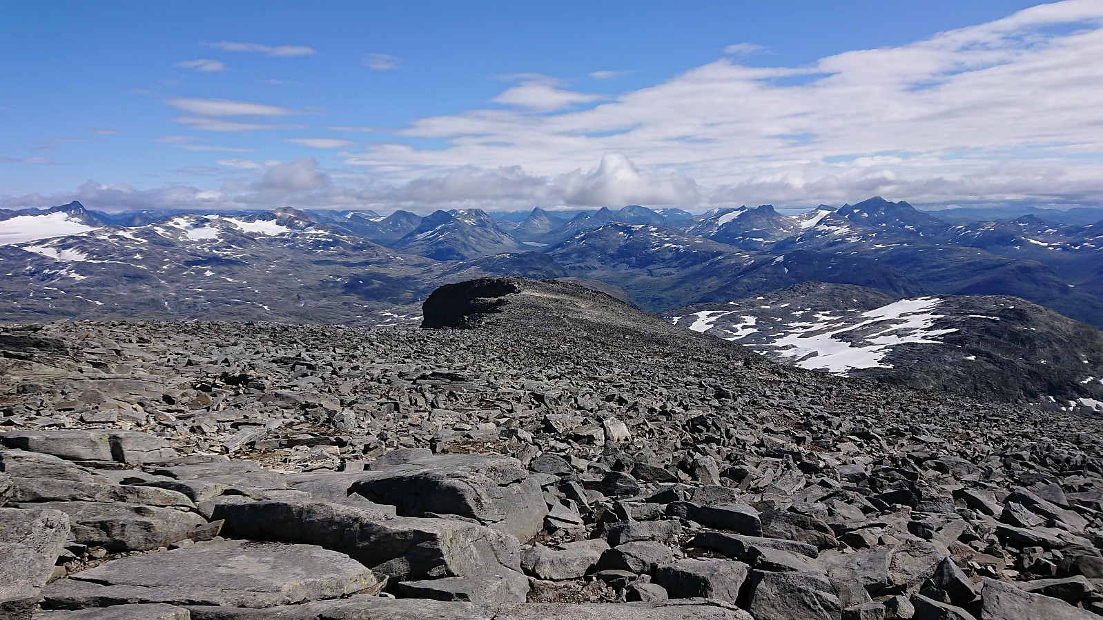
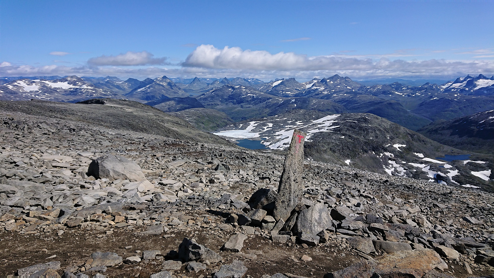
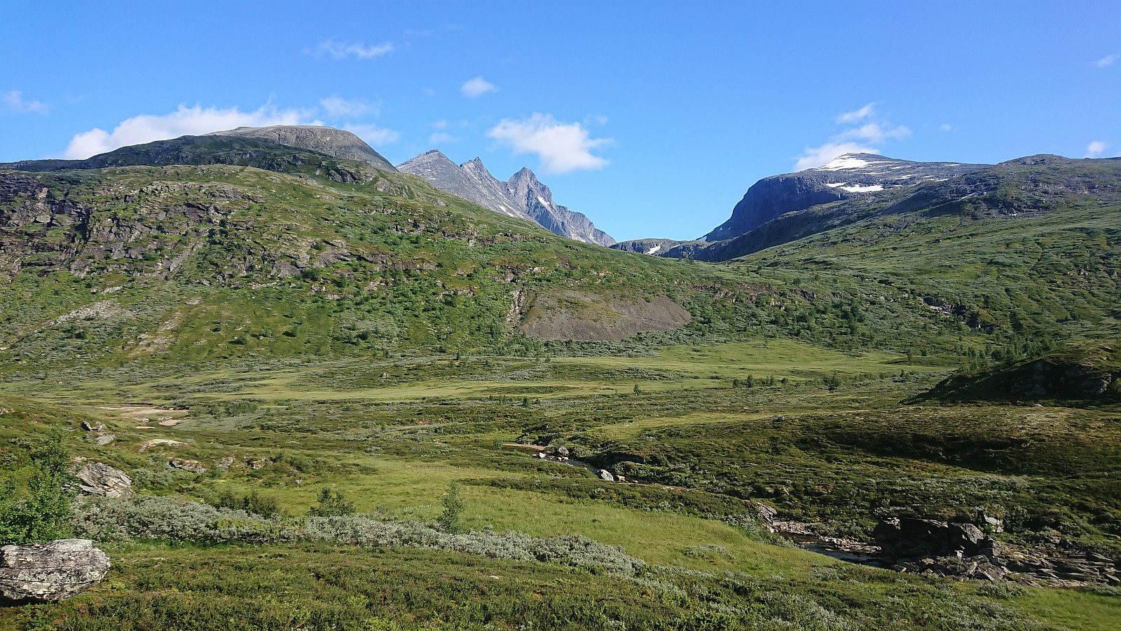
We soon left all vegetation behind as the trail winded its way upwards, however the trail was still straightforward to follow and even included the occasional stone steps and what looked like added gravel for some shorter sections. As we got higher up, the views also started gradually improving. This was also combined with the low-hanging clouds from the start of the hike being replaced by more and more blue sky.
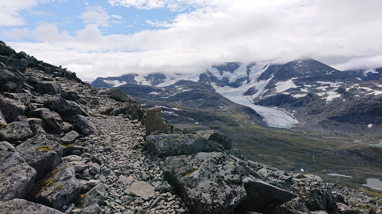
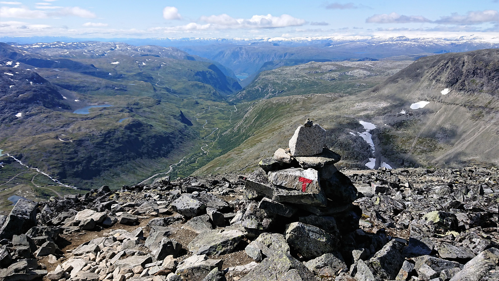
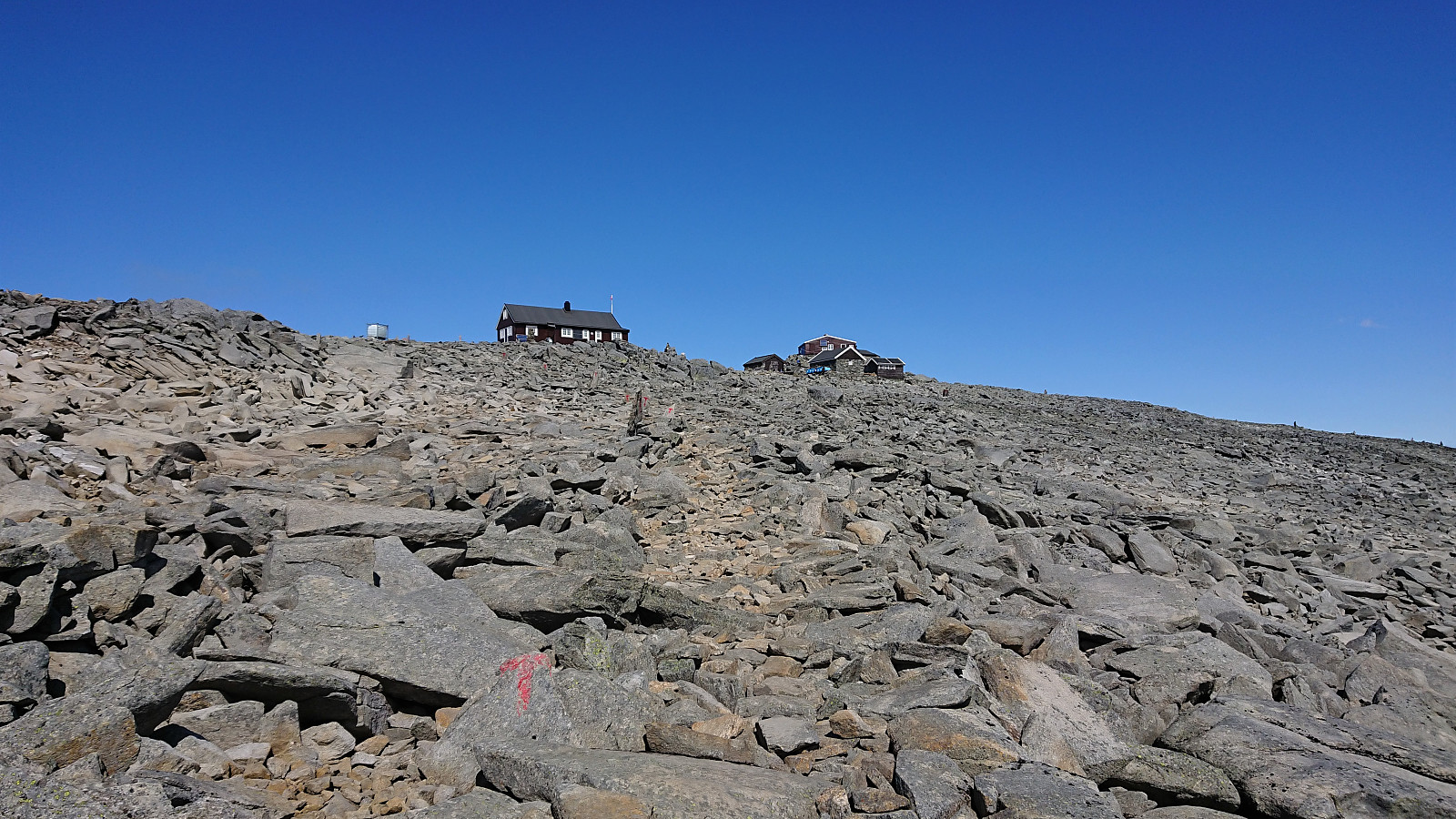
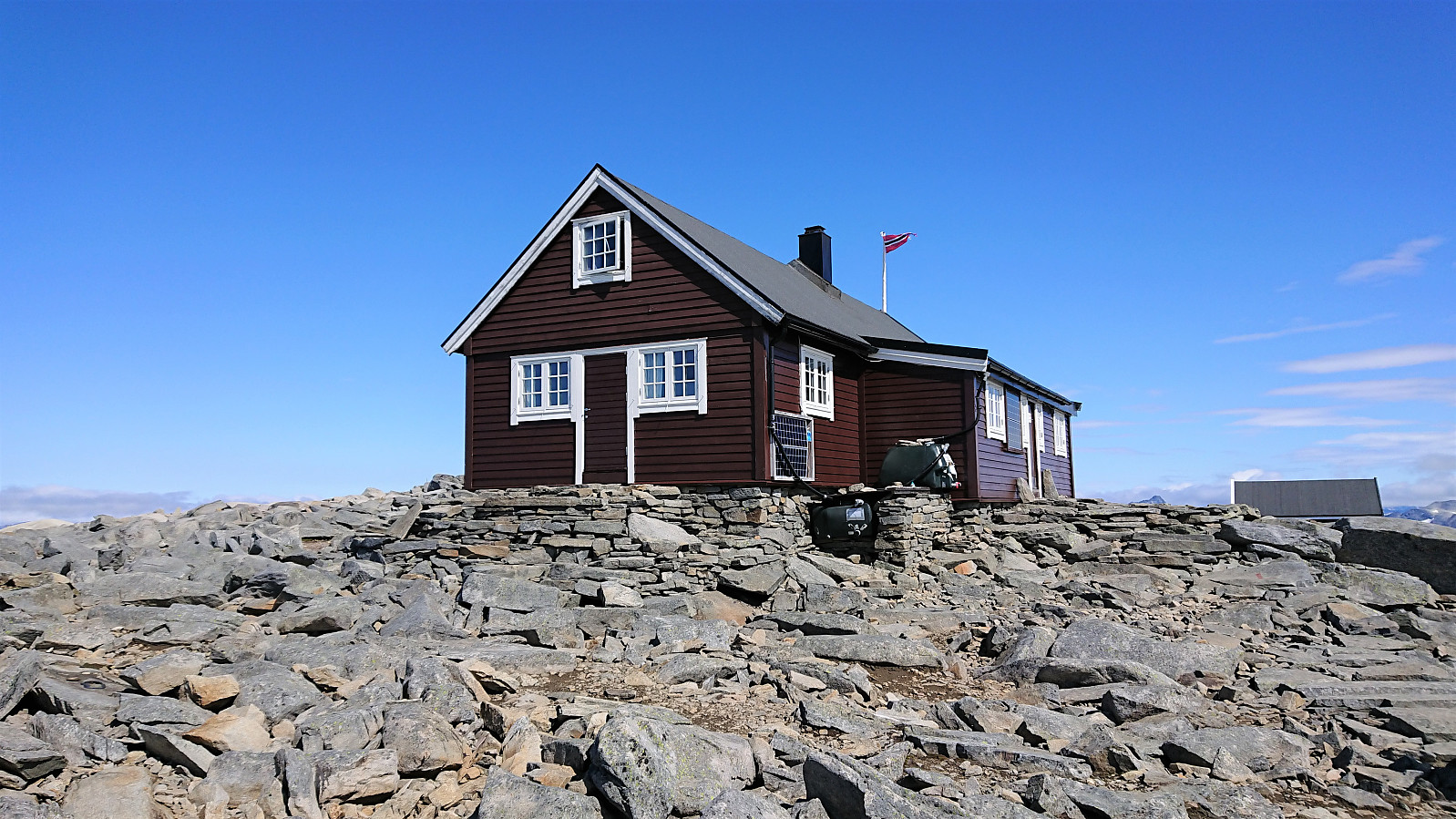
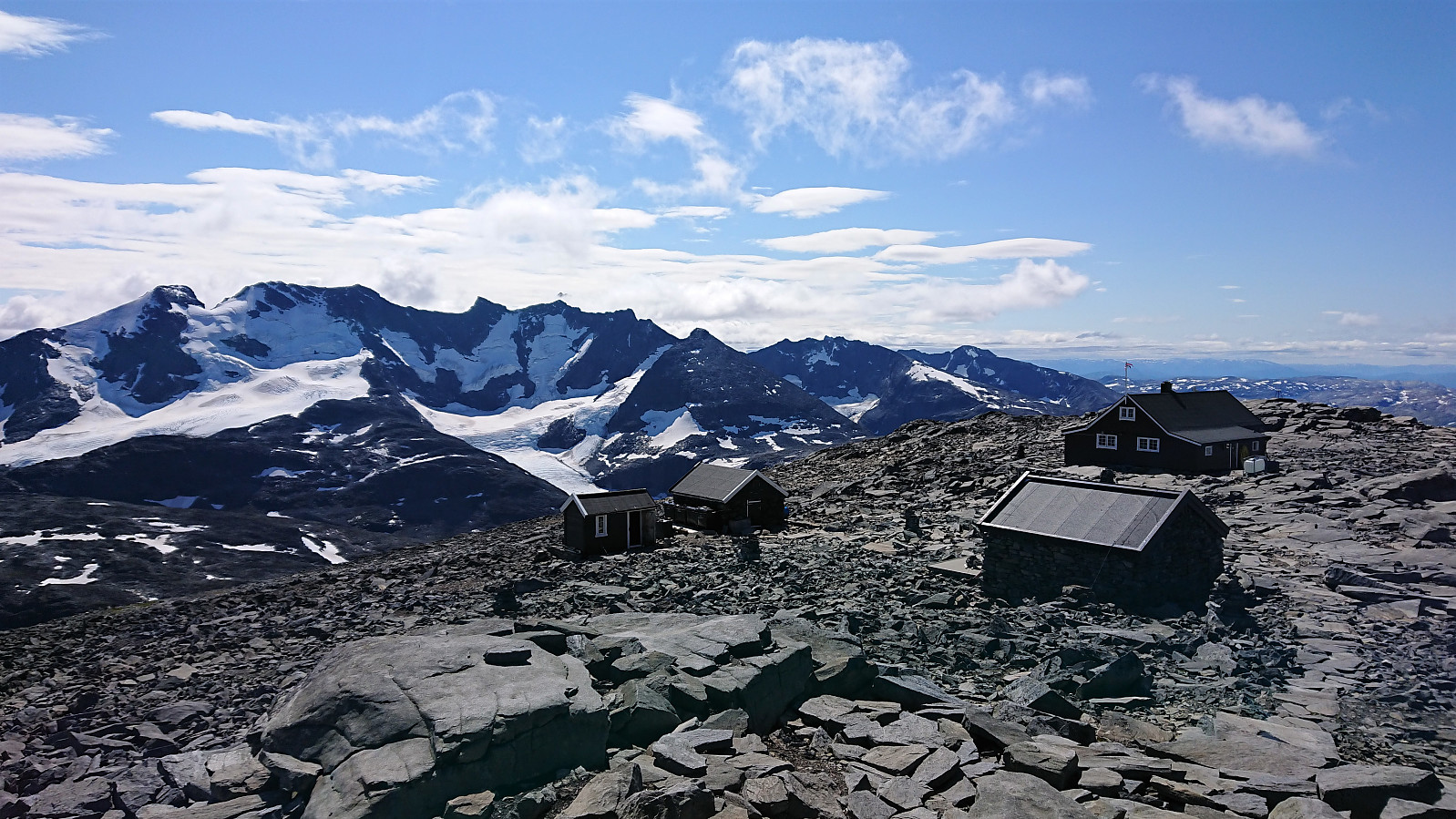
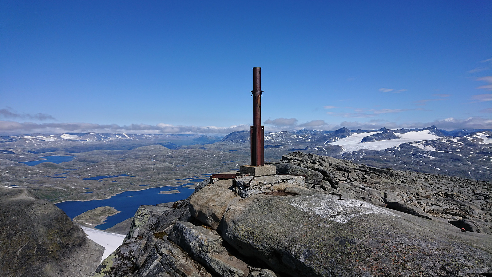
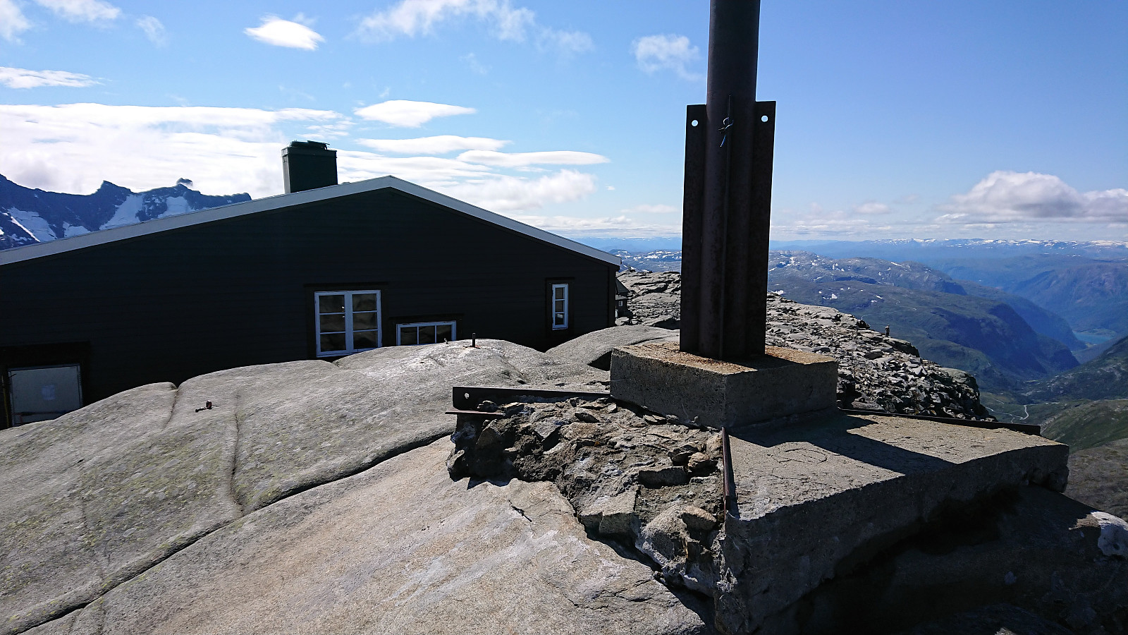
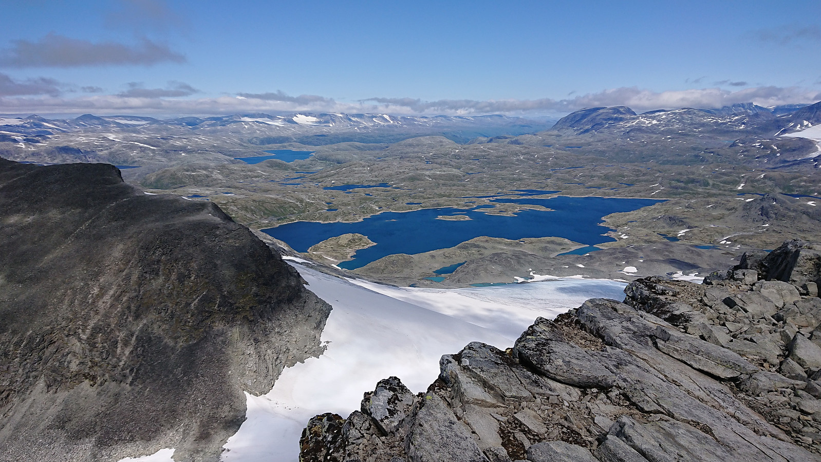
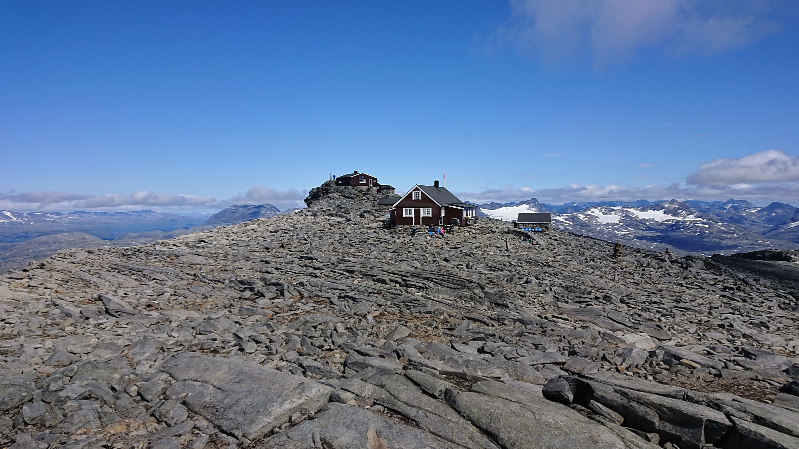
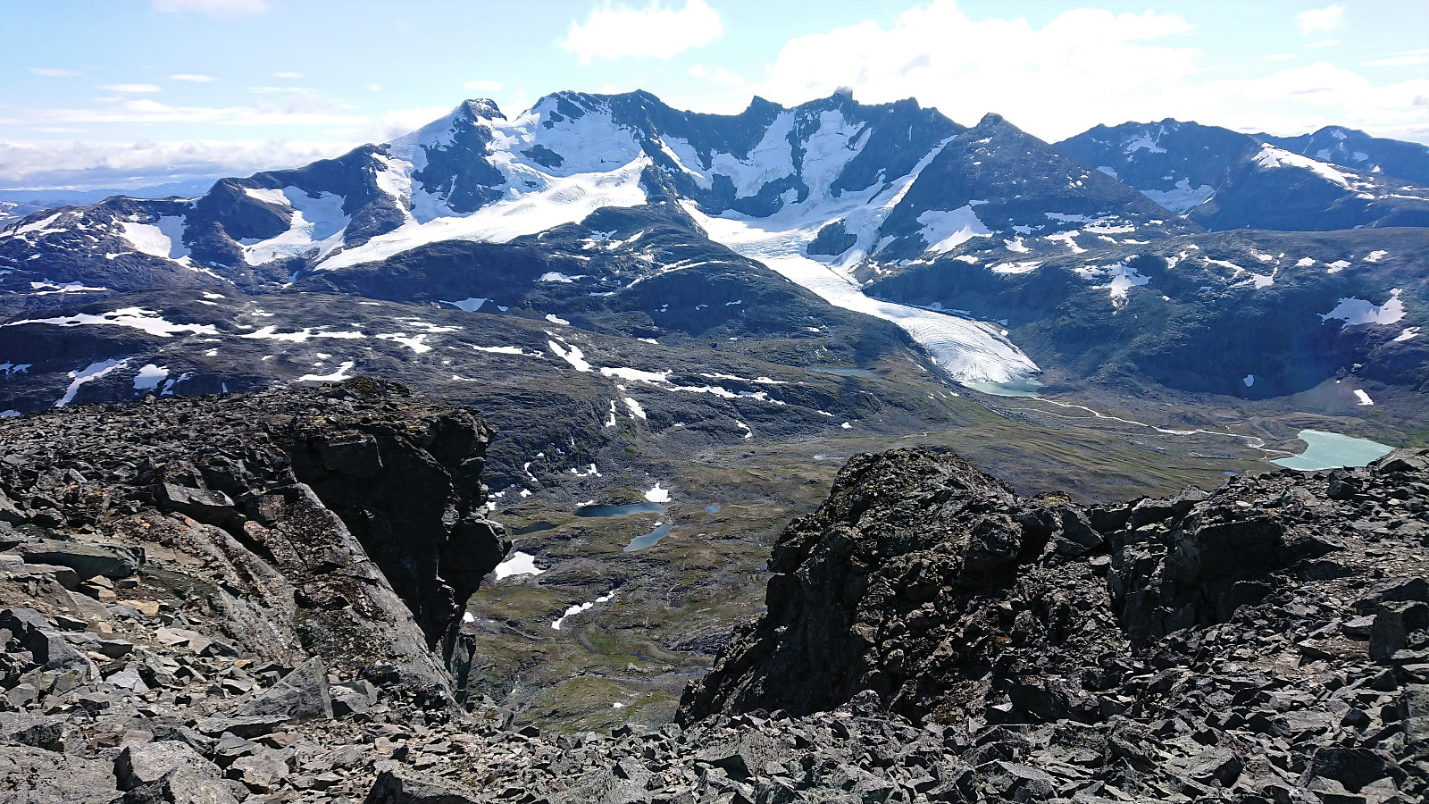
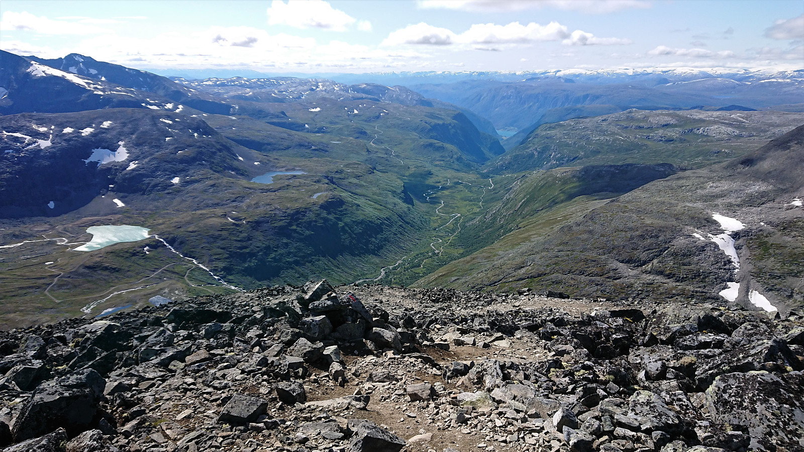
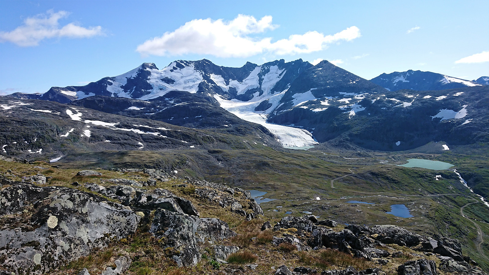
In the end, the summit of Fannaråken was reached without any issues and provided spectacular views in all directions. Our lunch break was taken in the shelter of the old discontinued weather station (now a secondary DNT cabin to the main Fannaråkhytta) right next to the summit. When writing this report, I came across an old Norge Rundt video about what it was like to work up there during the winter: http://www.norge-rundt.no/video/230.
After a visit of the summit, and lots of pictures, we started our descent along the same route. Upon reaching the gravel road below Ekrehytta, we regretted not having brought our bikes along like we saw other hikers had done, as this would greatly speed up our return to the parking lot at Turtagrø. Maybe something to consider if returning in the future.
In summary, an excellent hike with spectacular views that can be very highly recommended!


| Start date | 01.08.2021 10:17 (UTC+01:00 DST) |
| End date | 01.08.2021 18:06 (UTC+01:00 DST) |
| Total Time | 7h 49min |
| Moving Time | 6h 54min |
| Stopped Time | 0h 55min |
| Overall Average | 2.5km/h |
| Moving Average | 2.8km/h |
| Distance | 19.2km |
| Vertical meters | 1,454m |


User comments