
Storevasseggene and Blådalsnipa from Nordkvingo (05.08.2021)

Skrevet av hbar (Harald Barsnes)

| Startsted | Nordkvingo (51moh) |
|---|---|
| Sluttsted | Nordkvingo (51moh) |
| Turtype | Fjelltur |
| Turlengde | 4t 40min |
| Distanse | 14,7km |
| Høydemeter | 1220m |
| GPS |
|
| Bestigninger | Blådalsnipa (678moh) | 05.08.2021 |
|---|---|---|
| Storevasseggene (710moh) | 05.08.2021 |
Storevasseggene and Blådalsnipa from Nordkvingo
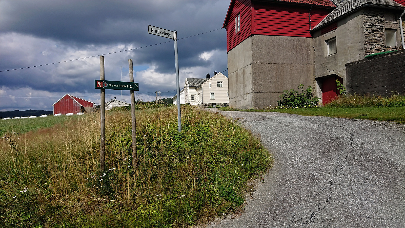
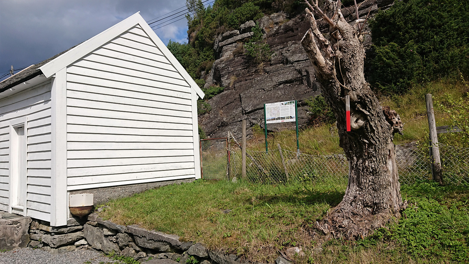
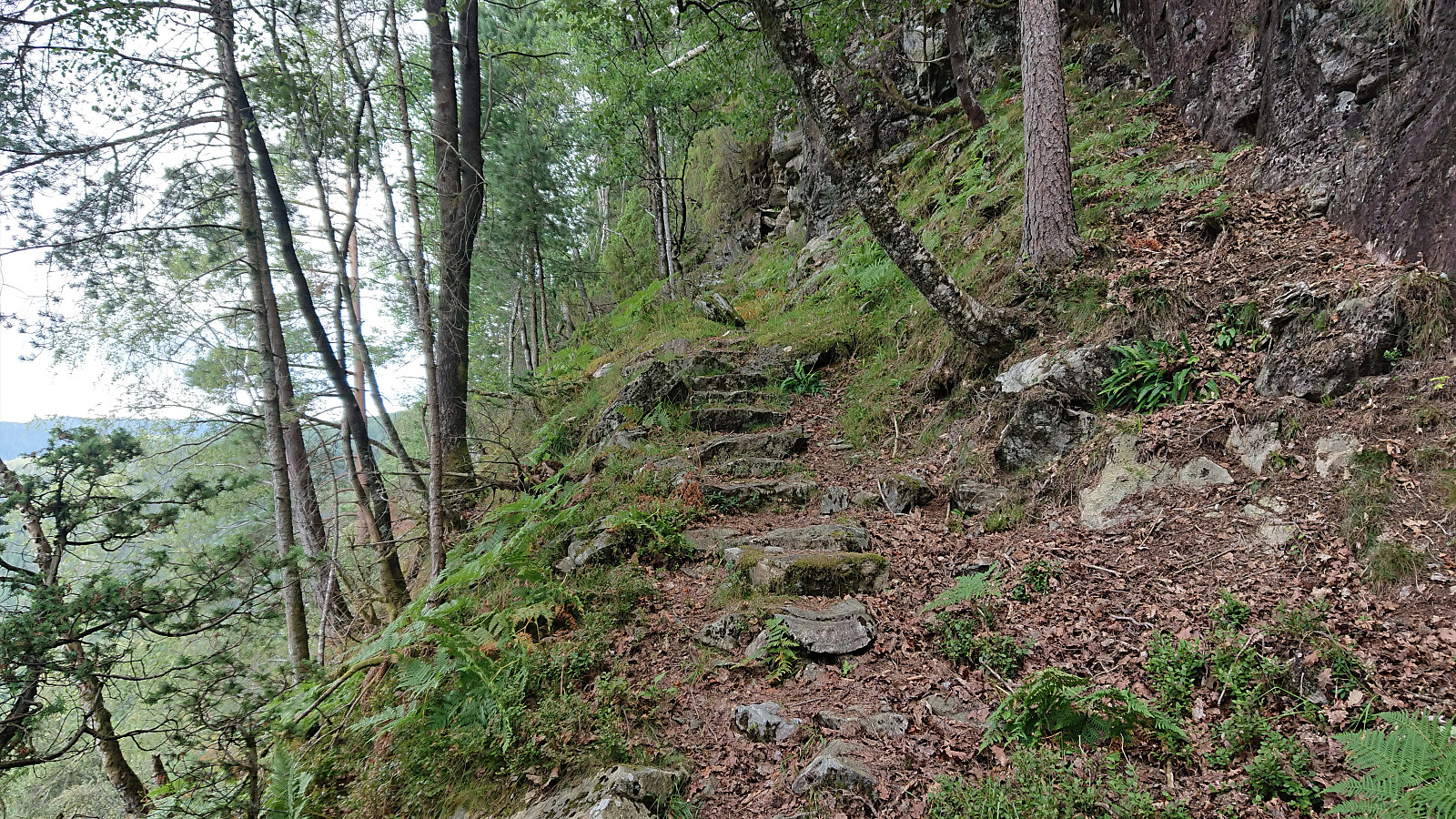
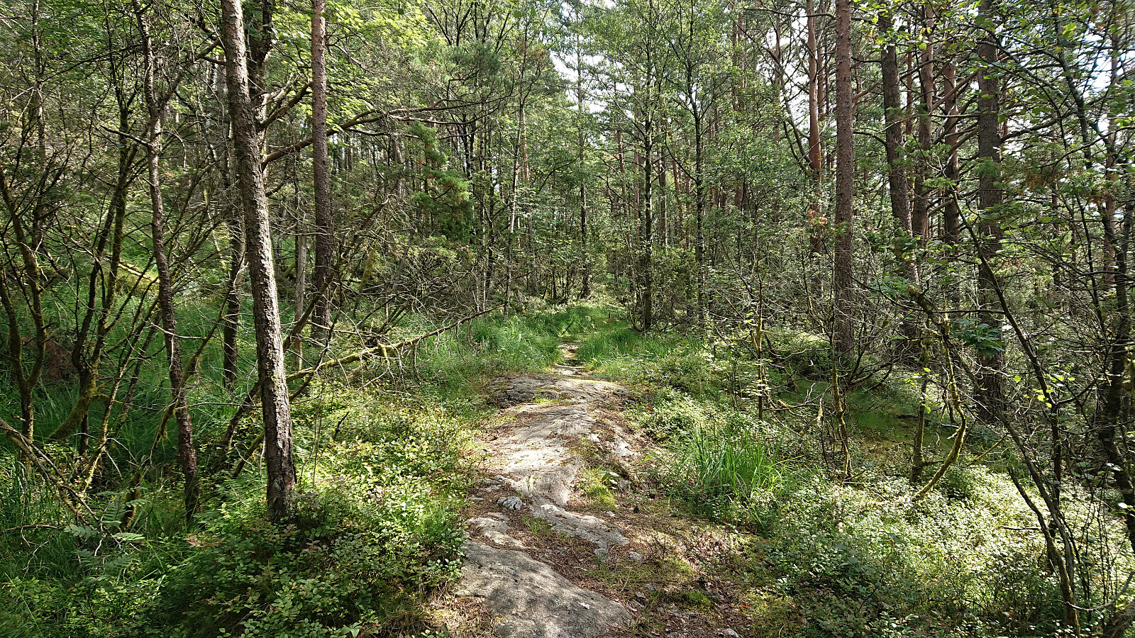
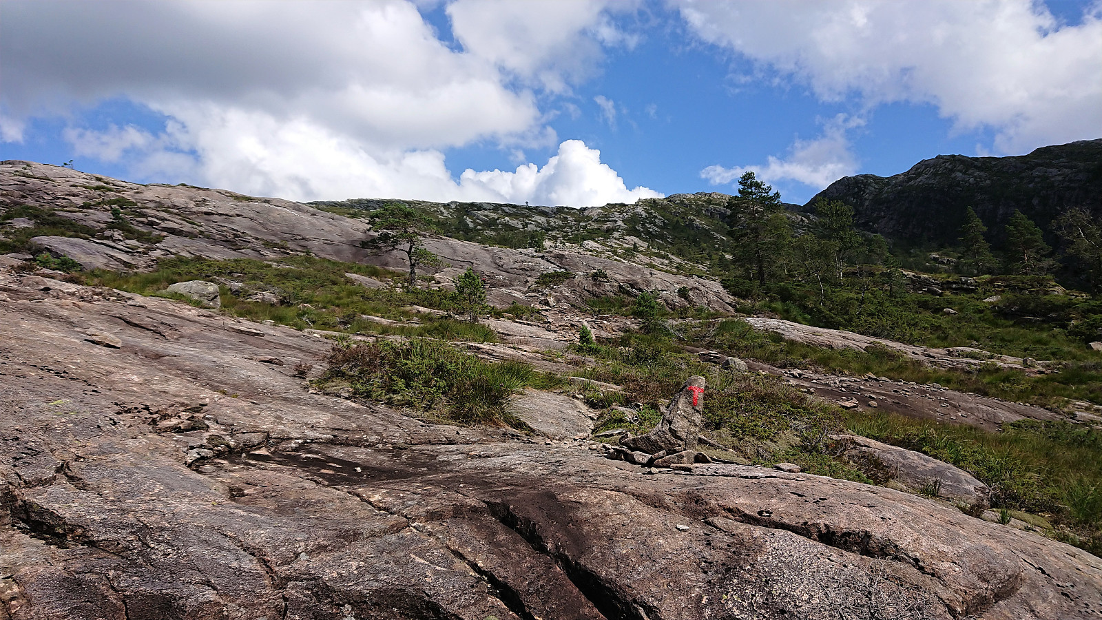
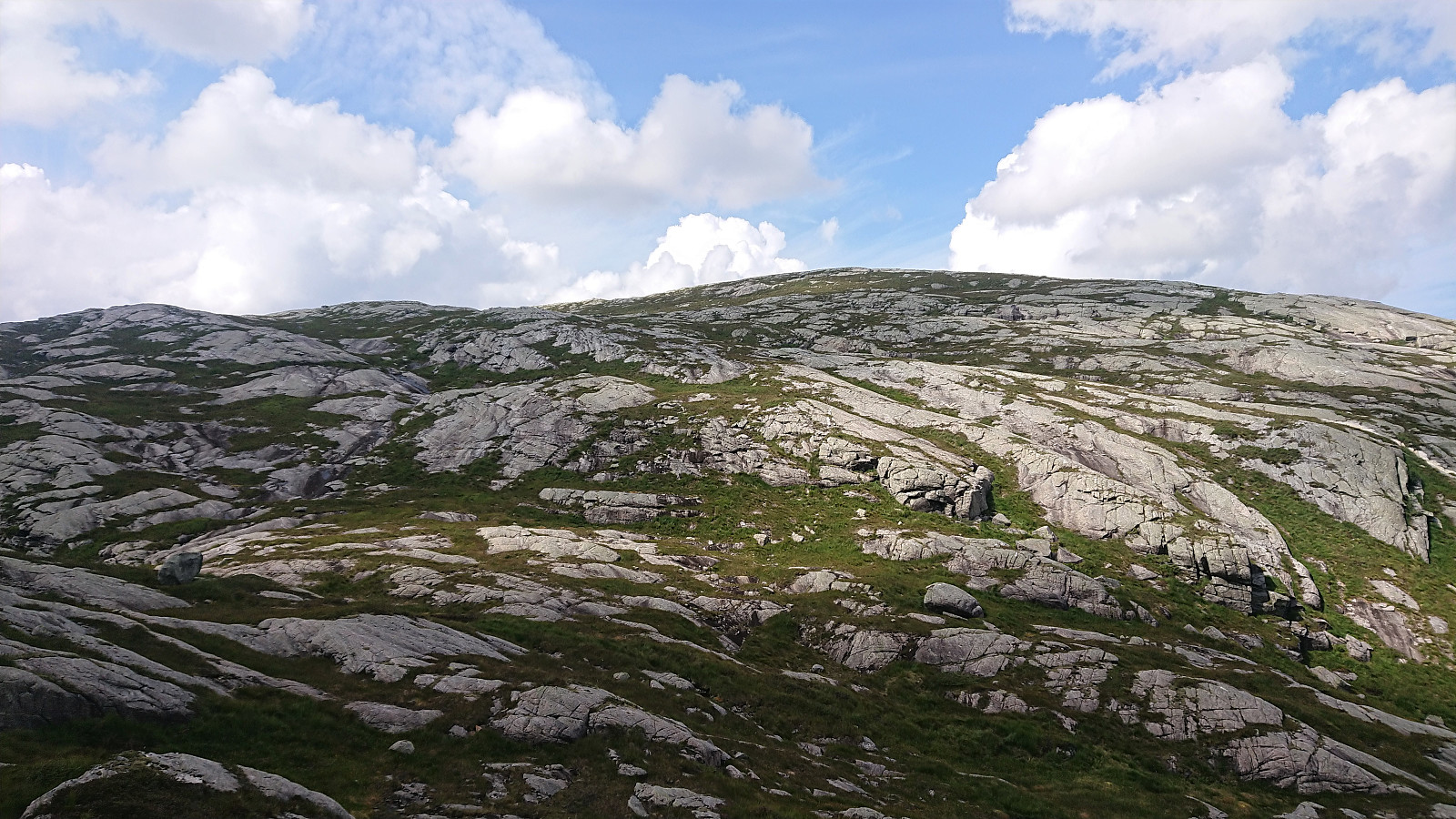
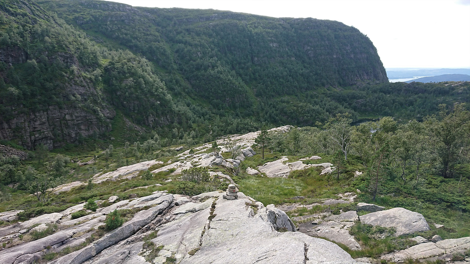
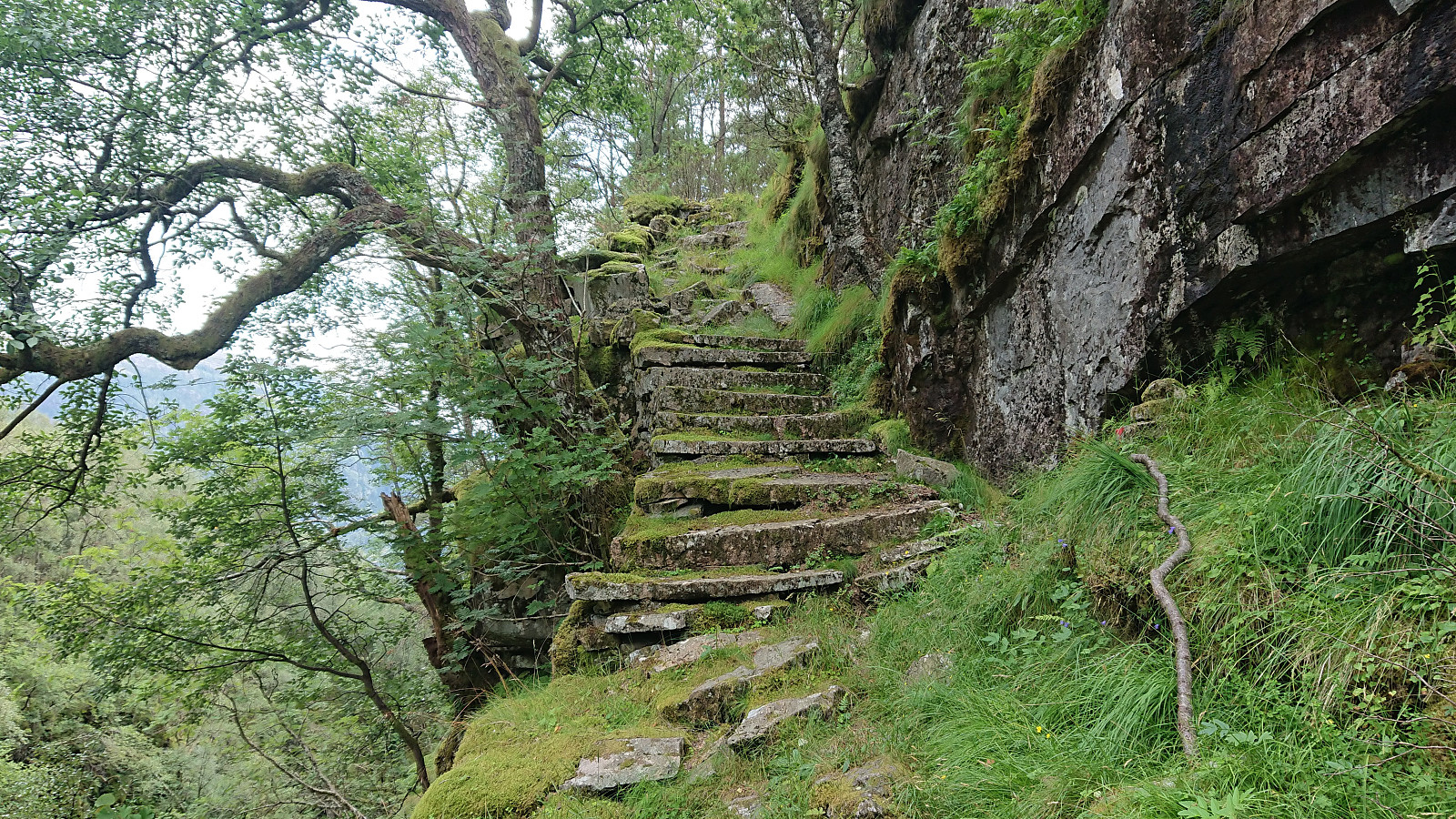
I started by taking the bus (or rather buses, four in total) to arrive at Nordkvingo where I got off at the stop called Sønsthaugen. Here I easily located the marked trailhead for Kalvedalshytta, which I then proceeded to follow. At first the trail was relatively steep, helped by various stone steps and metal railing, but it soon levelled off and it did not take too long before it started descending towards Gjelet where it connected with the new trail coming up from Nordkvingo p-plass.
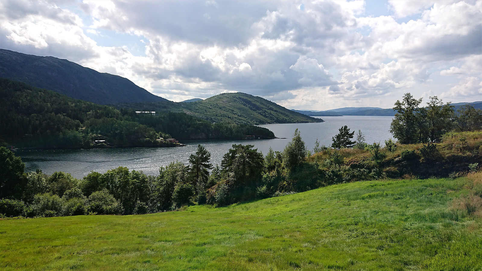
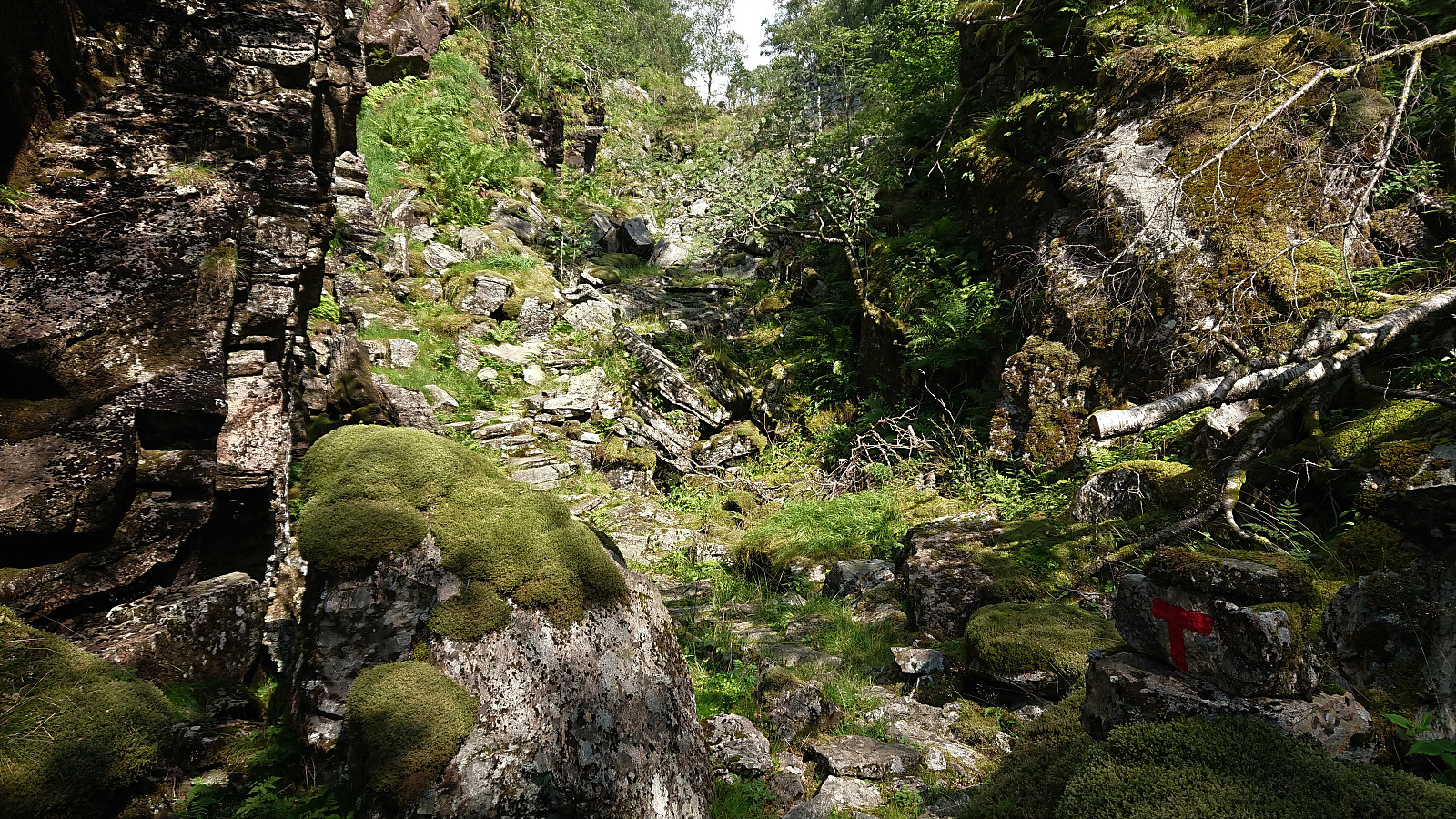
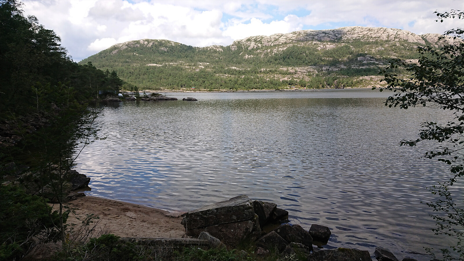
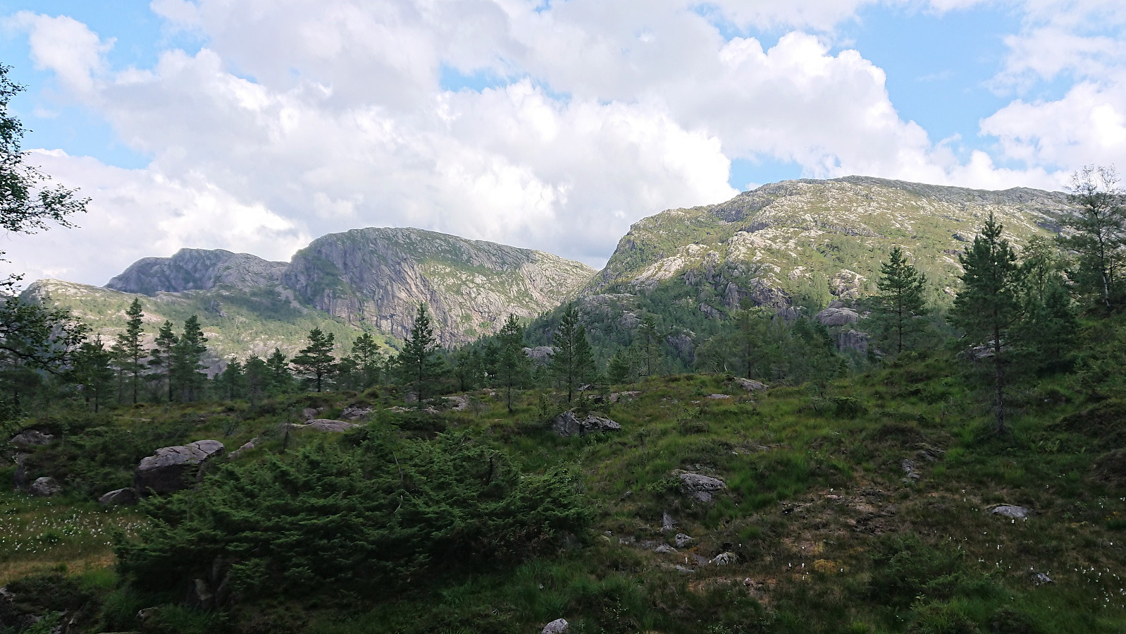
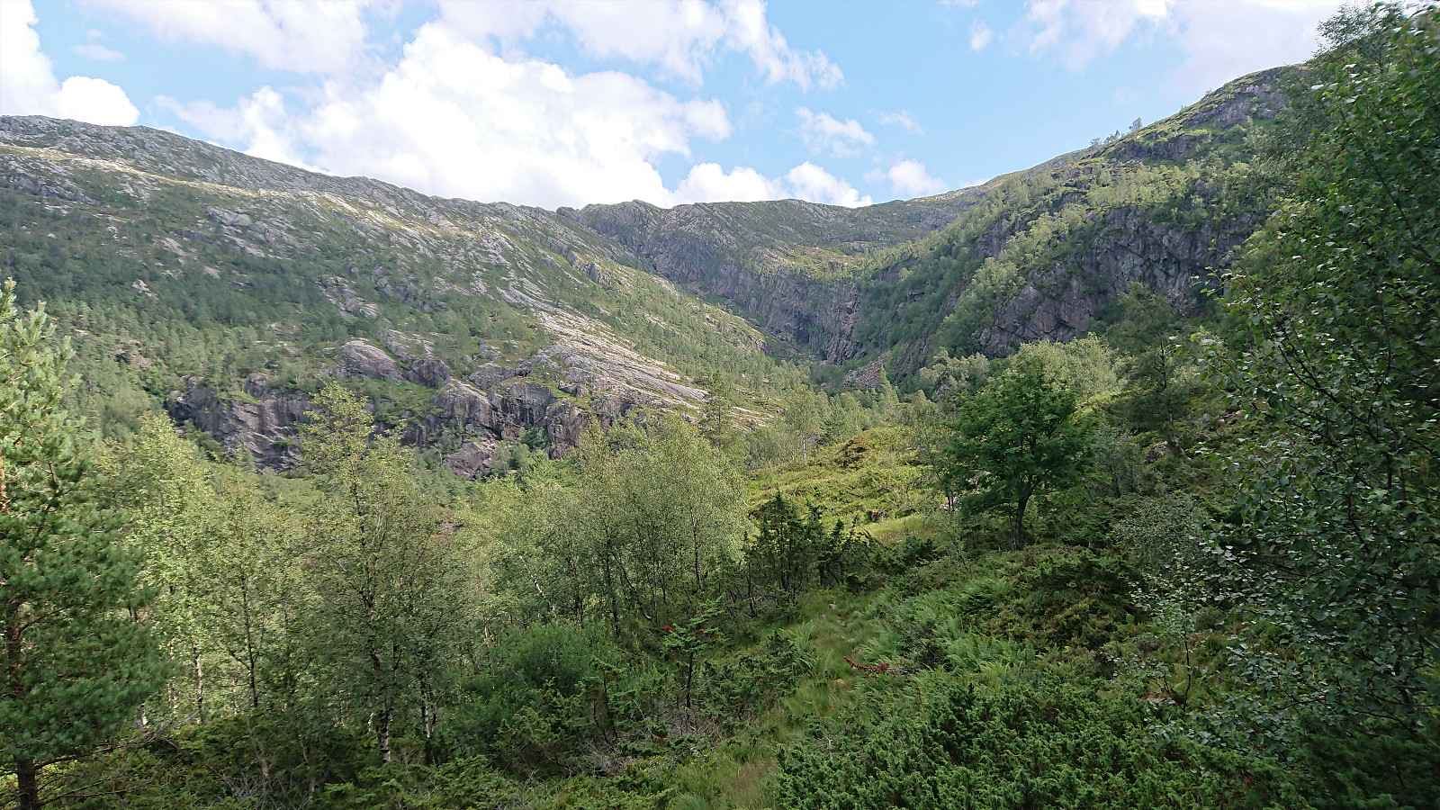
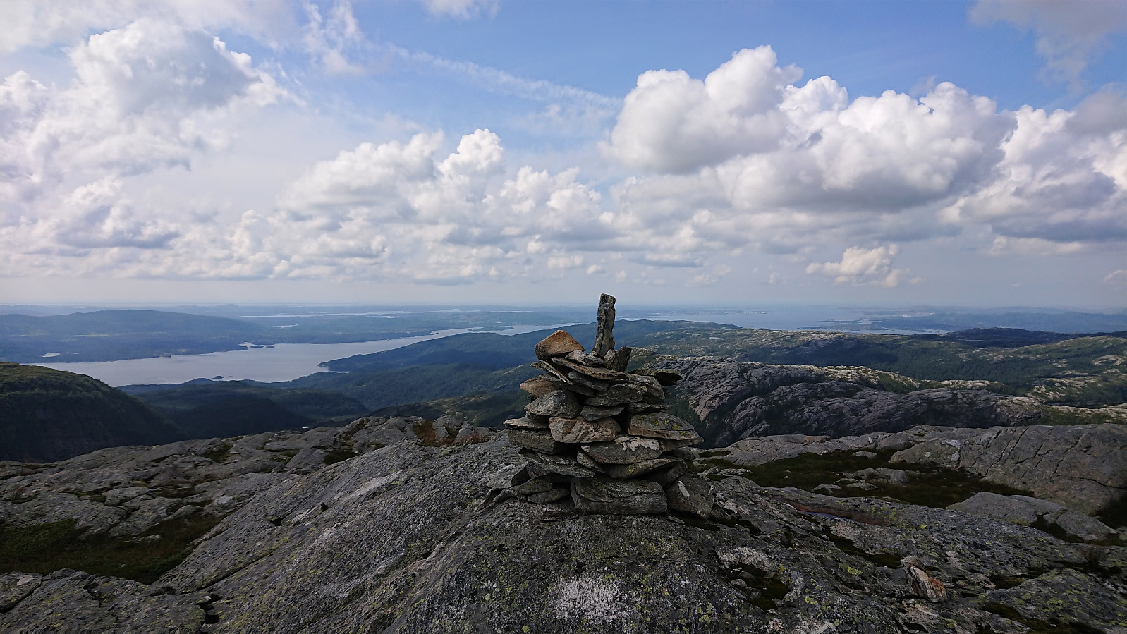
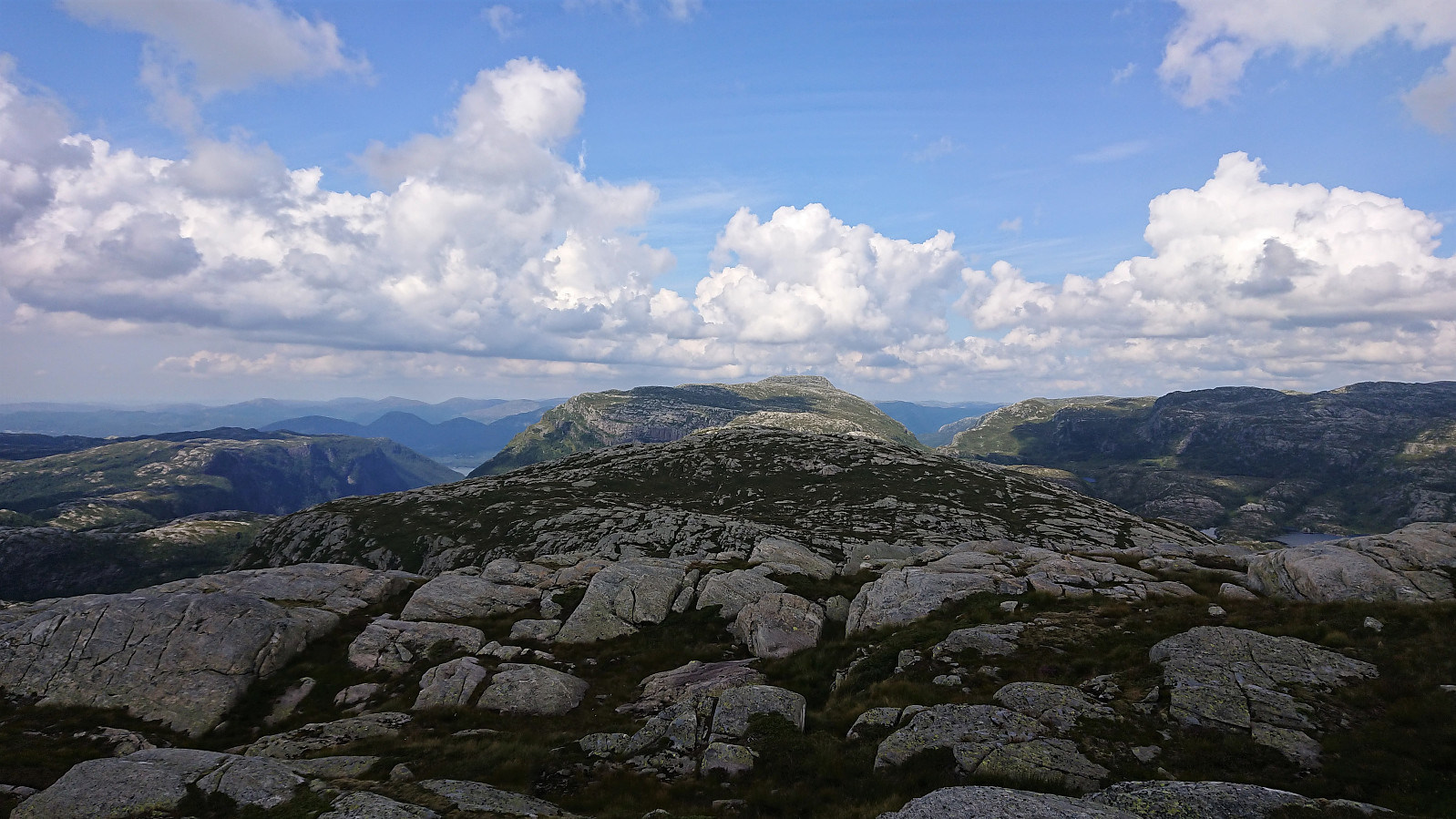
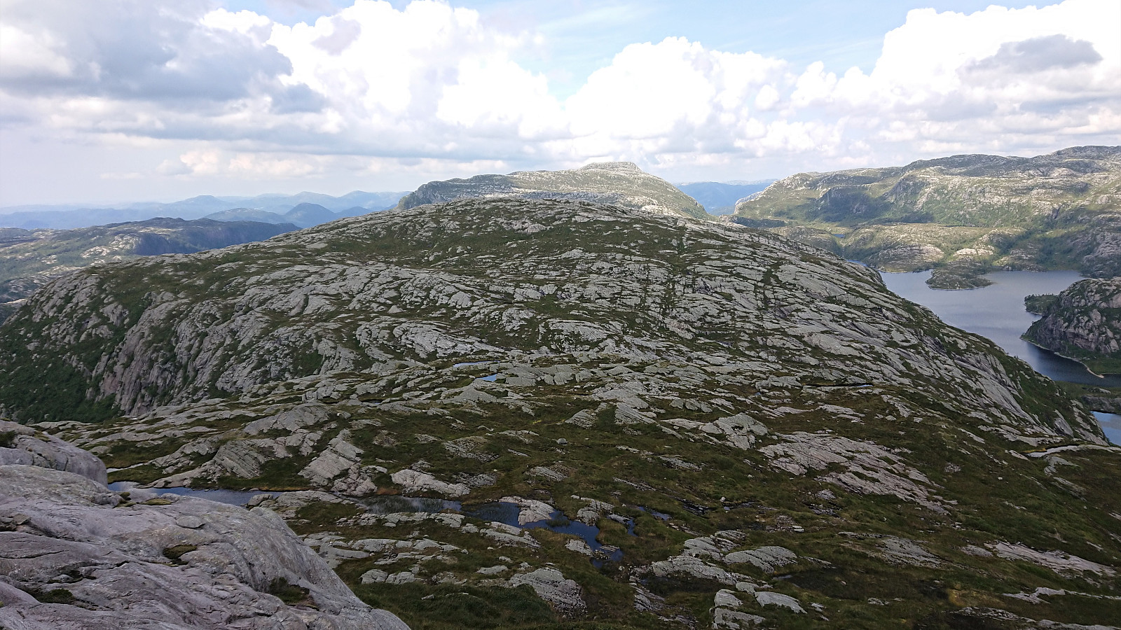
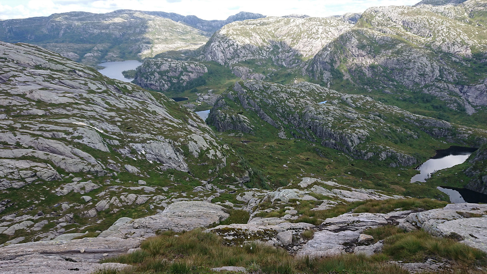
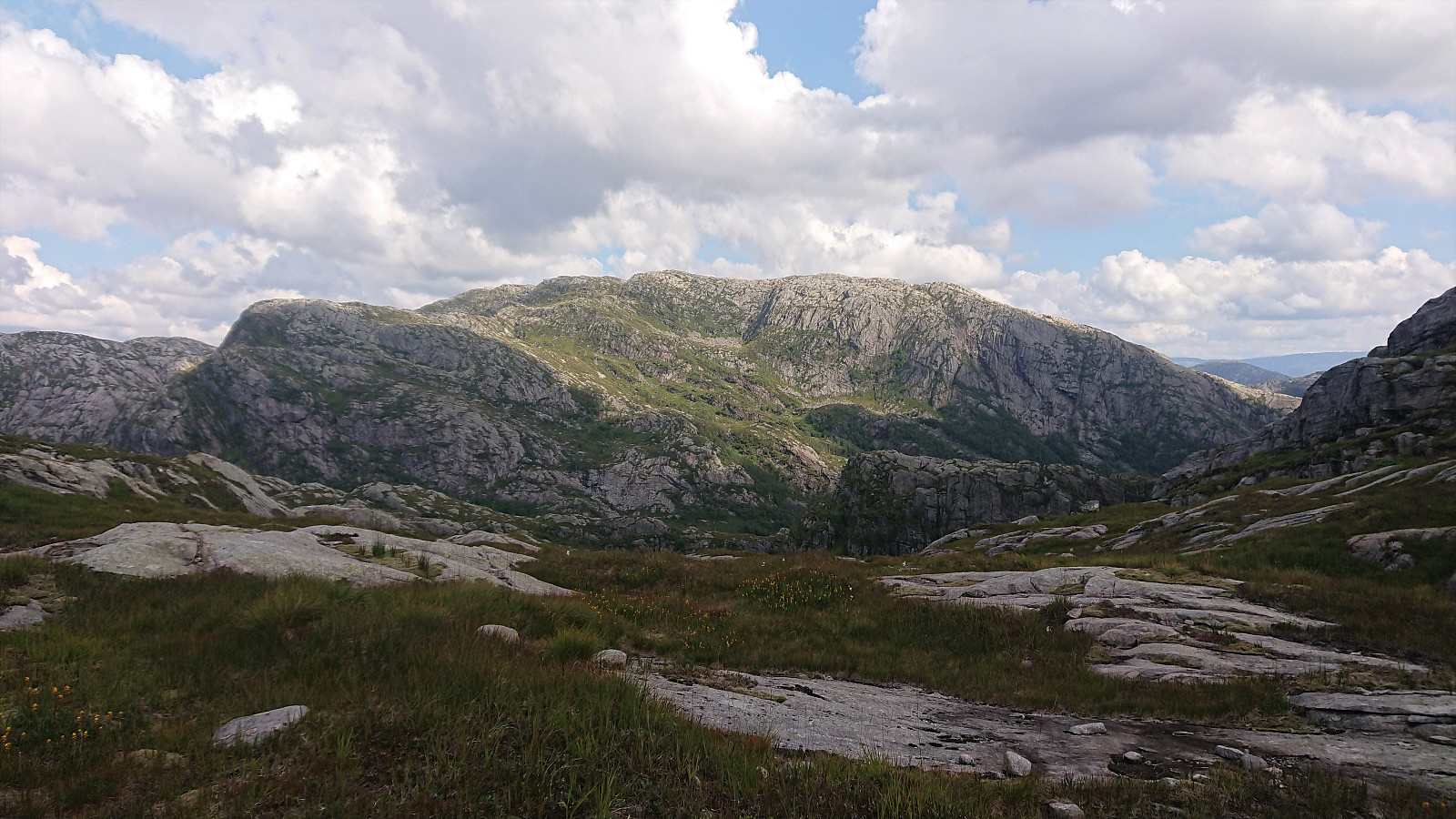
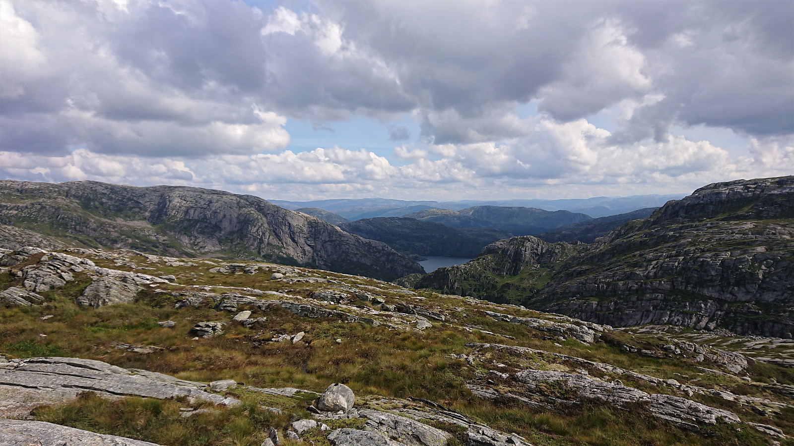
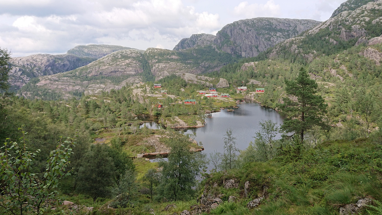
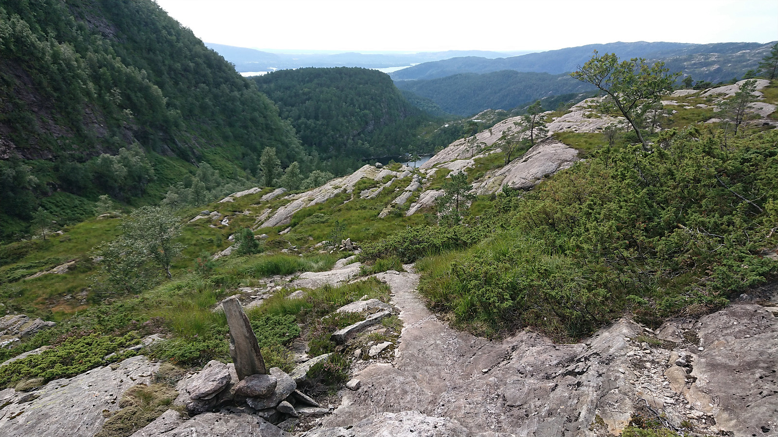
The trail was marked with red T's and was overall easy to follow. After briefly passing by Blådalsvatnet, the trail shortly descended to south of Setertjørna where I got the first views of both Storevasseggene and Blådalsnipa, plus a nice overview of Nordkvingesetret, before the trail again started ascending into the valley in between Storevasseggene and Klefjellnipa.
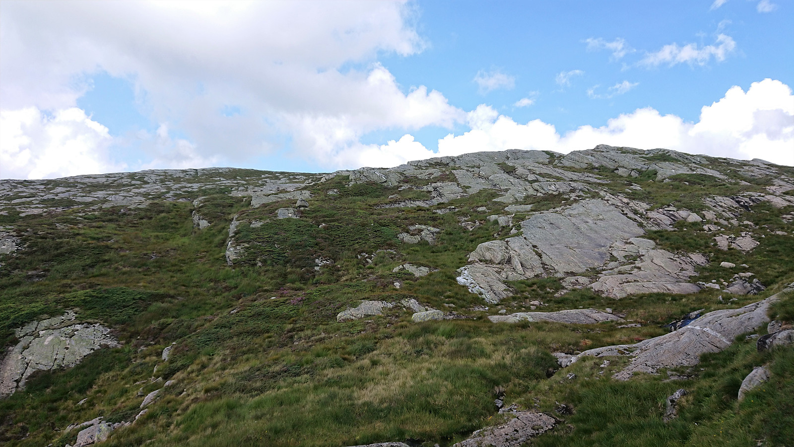
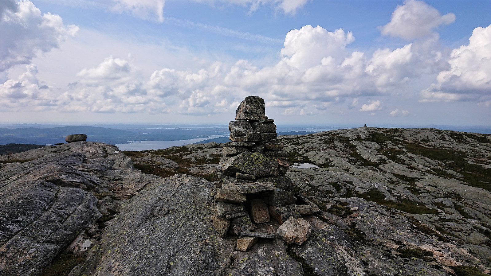
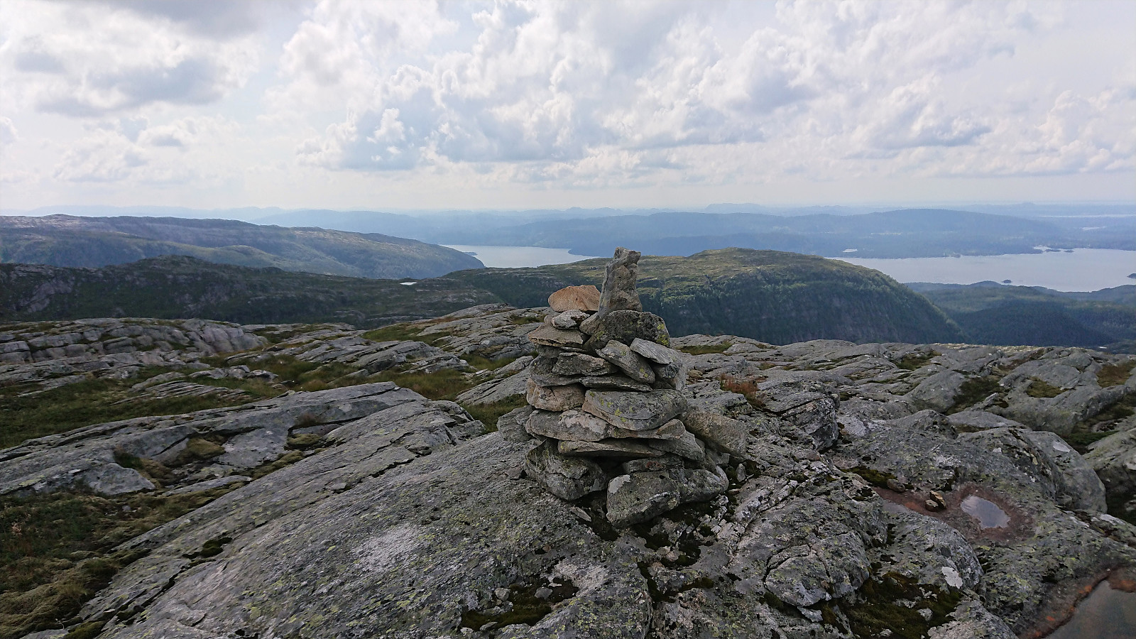
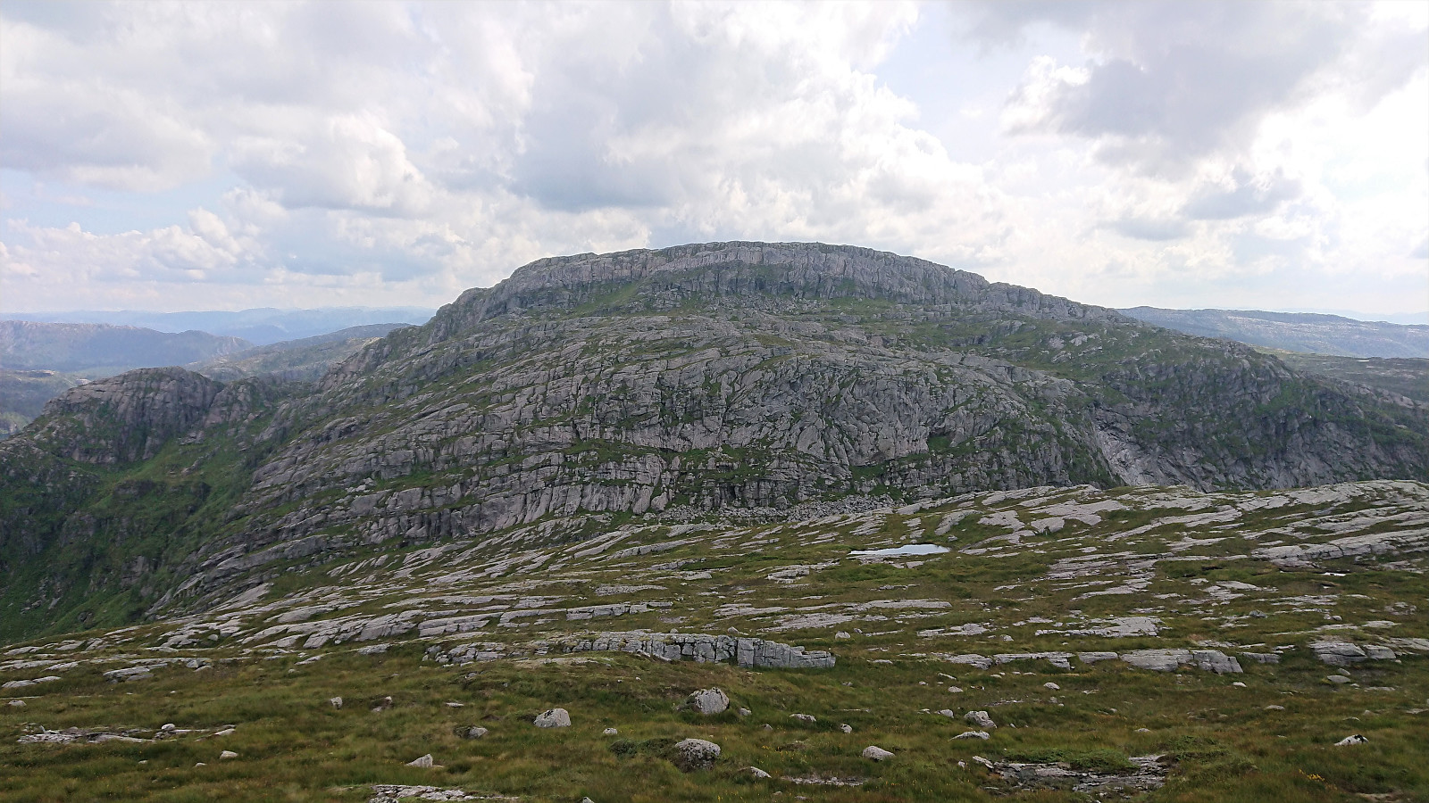
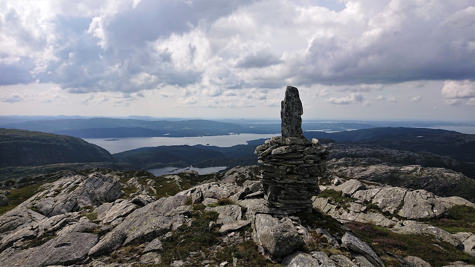
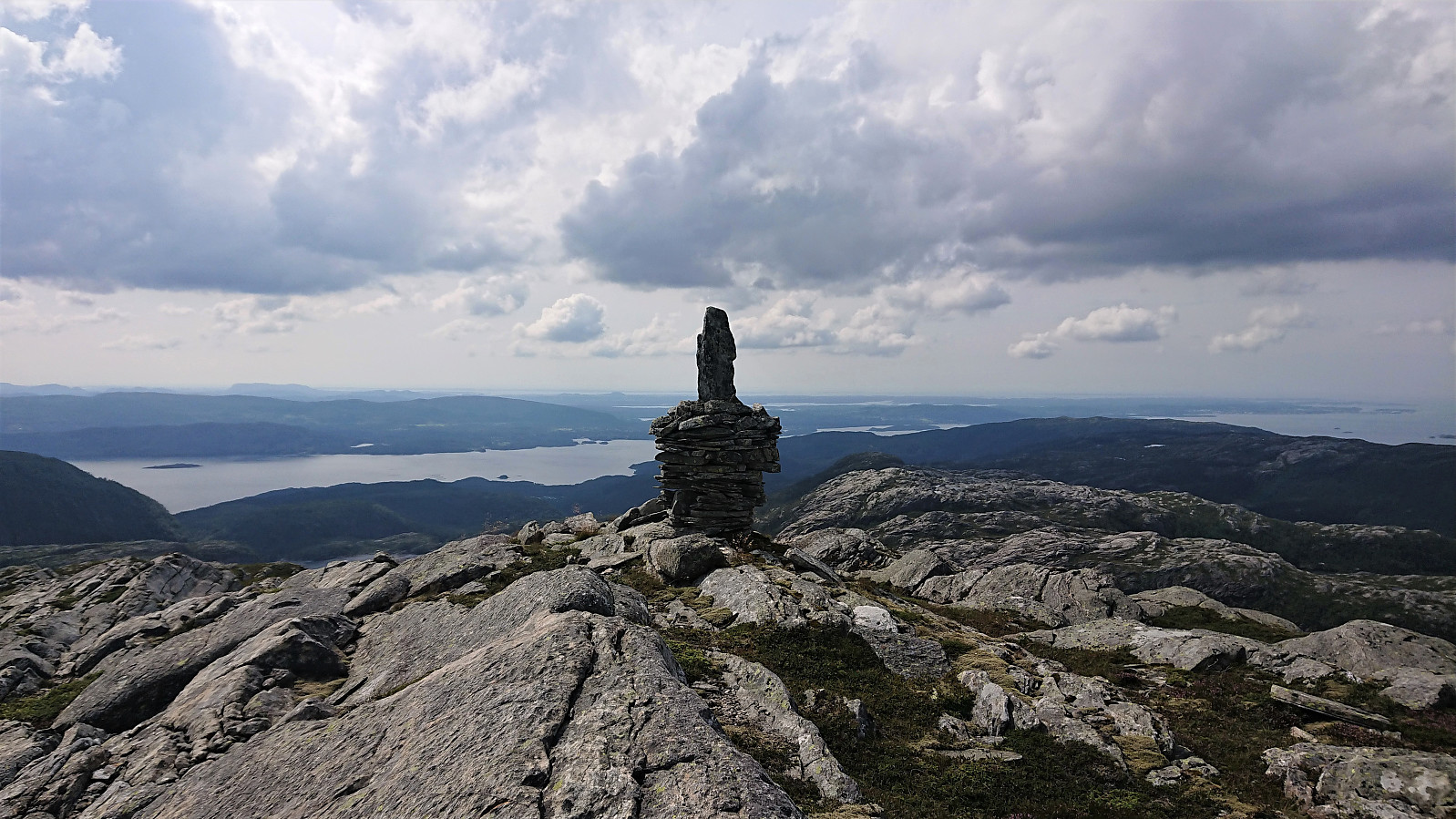
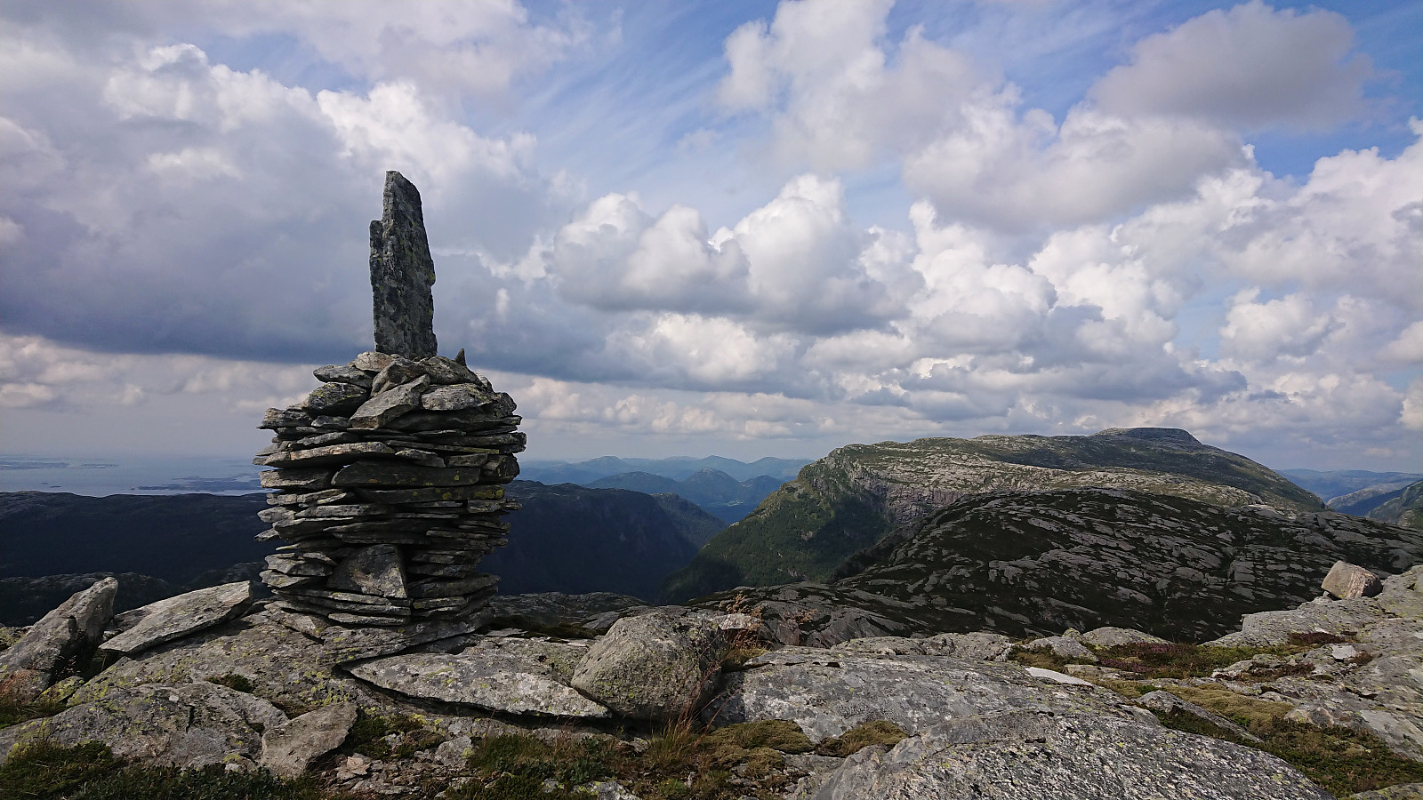
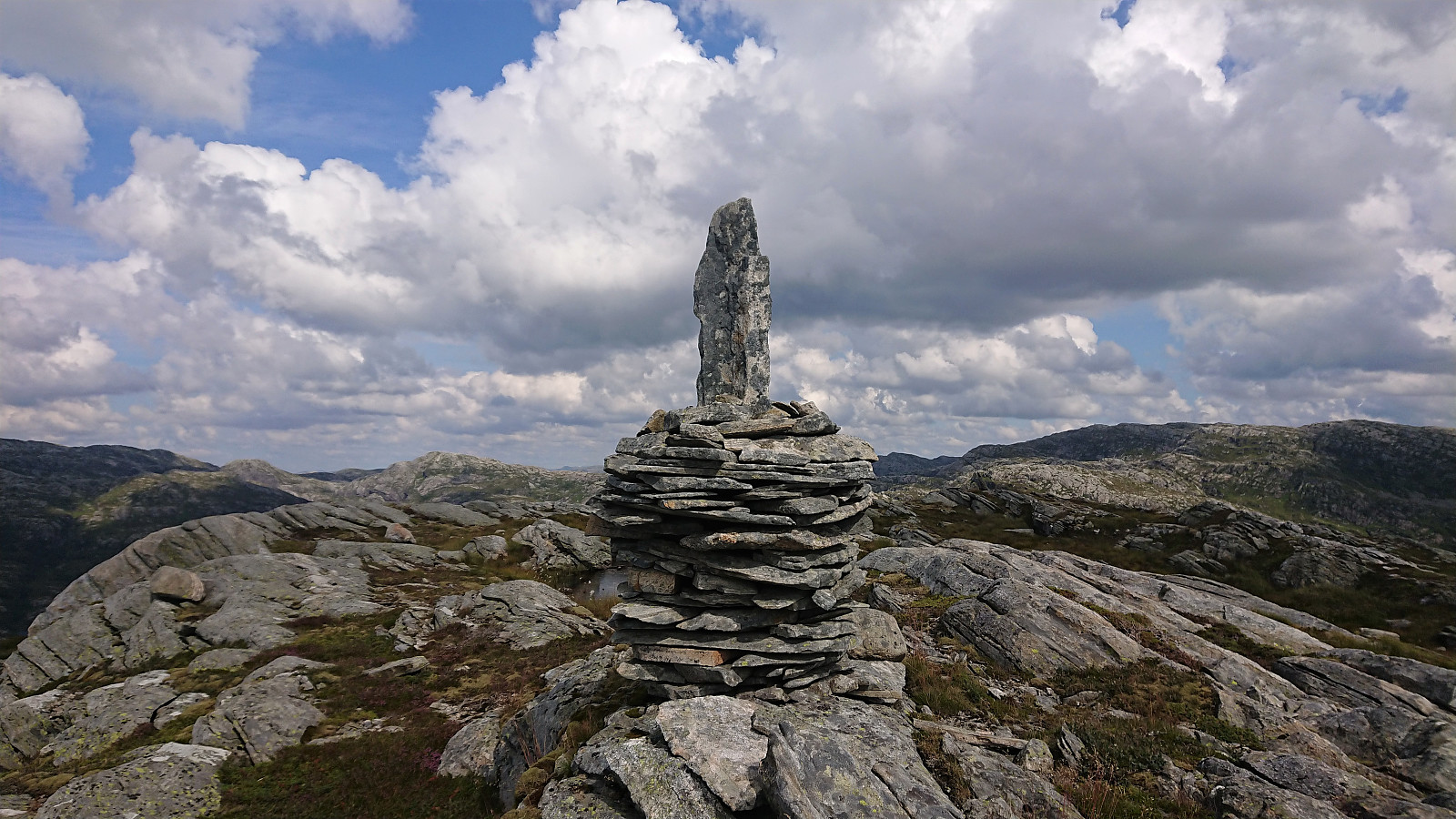
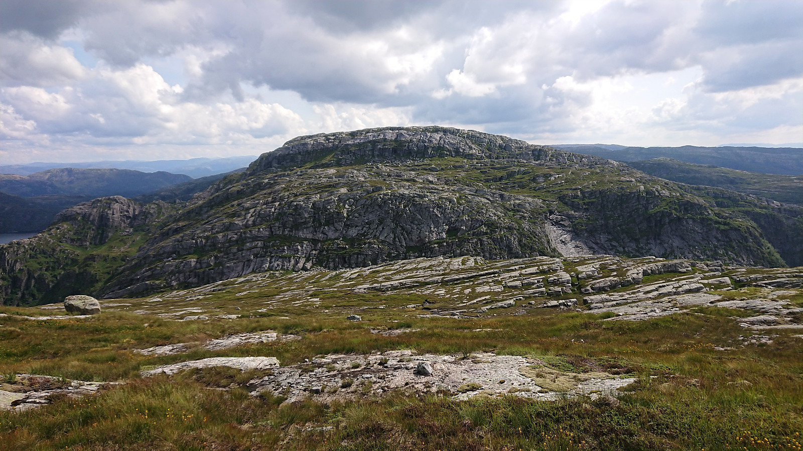
Just before the marked trail started descending to Storevatnet and Kalvedalshytta, I headed off-trail towards the summit of Storevasseggene, a short distance of maybe 500 meters, and soon arrived at the summit without any issues. The summit provided very nice views and two separate cairns, where the southeastern one marked the highest point. After a short break at the northwestern cairn, I continued towards Blådalsnipa.
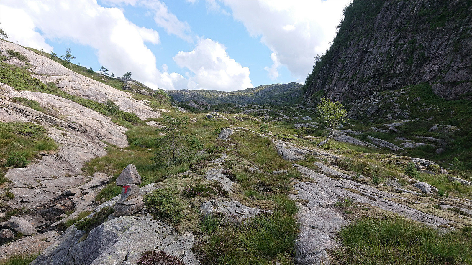
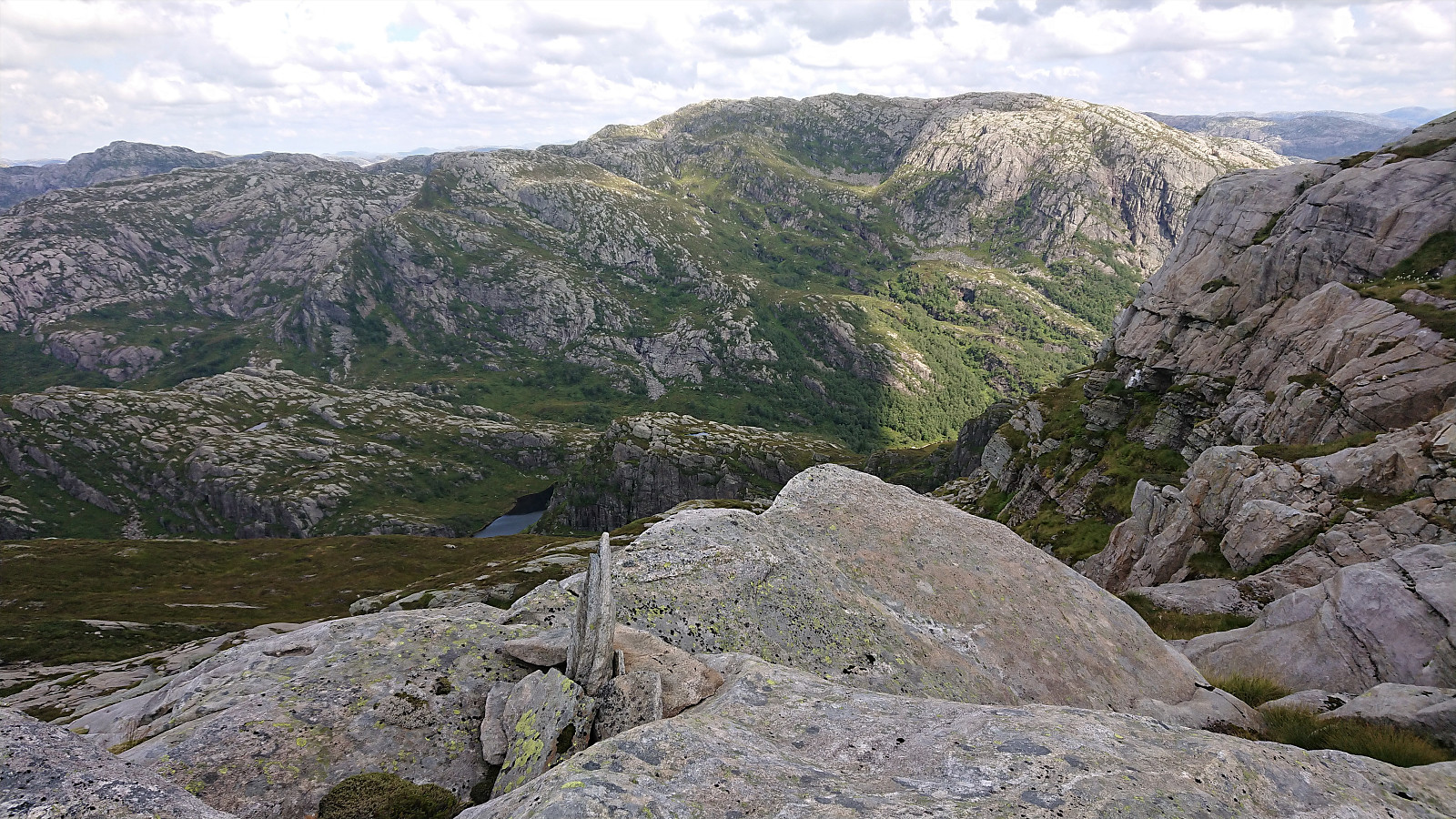
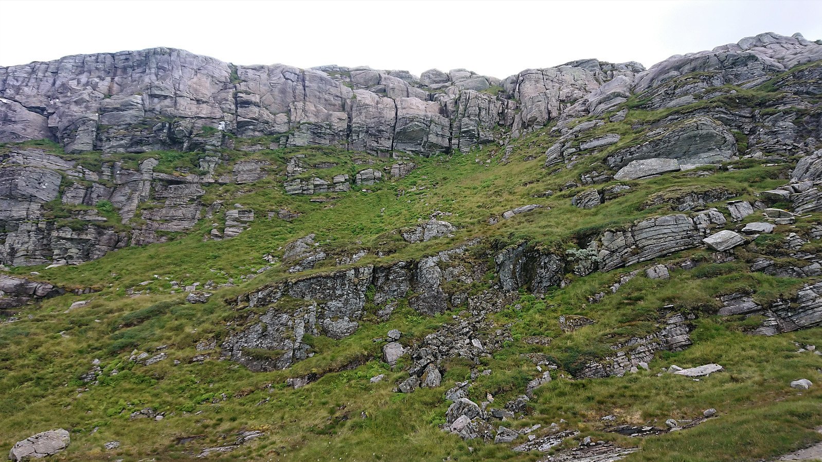
From previous trip reports, and from my own inspections of the map, I was slightly anxious of whether I would actually be able to make it down into the valley between Storevasseggene and Blådalsnipa called Blådalsskaret. However, the worrying trip reports I had read where all from winter hikes, and Fjellsamleren (Endre Myrdal Olsen) rather categorized the descent as "steep, but no challenge". I therefore had high hopes of being able to find a route that I was comfortable with.
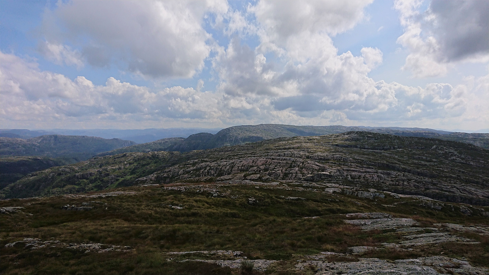
The first part of the descent into Blådalsskaret from Storevasseggene was straightforward when heading northeast from the northwestern cairn. I even came across a couple of smaller cairns that could be used to guide my way. That these cairns also continued towards the spot I had in advance assumed would be the best way of descending the second steep section was also a good sign. And although the second steep section was slightly more challenging than the first, it could also be easily traversed, only requiring easy scrambling. Within not too long I therefore made it into the valley and was ready to start the ascent towards Blådalsnipa.
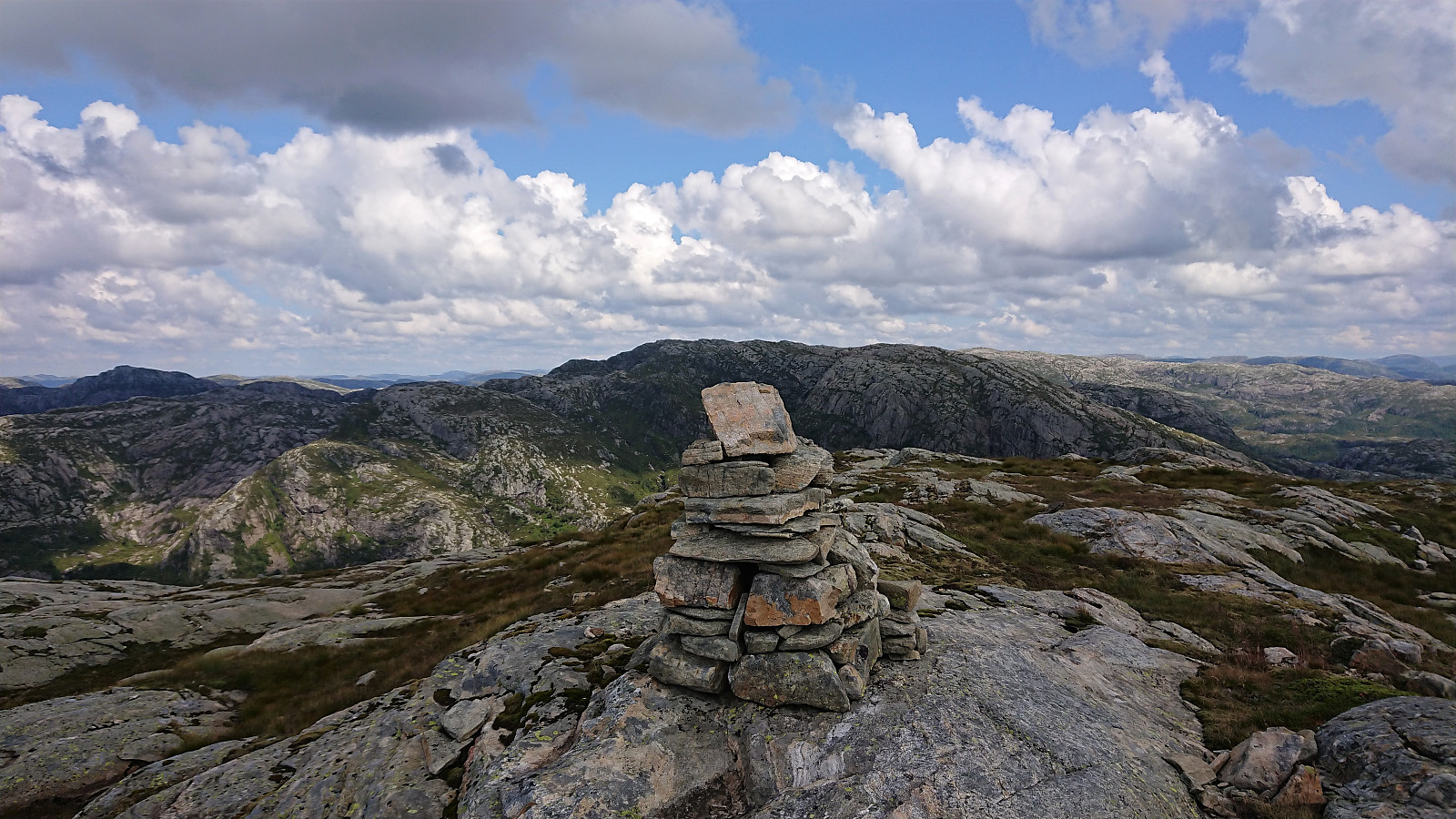
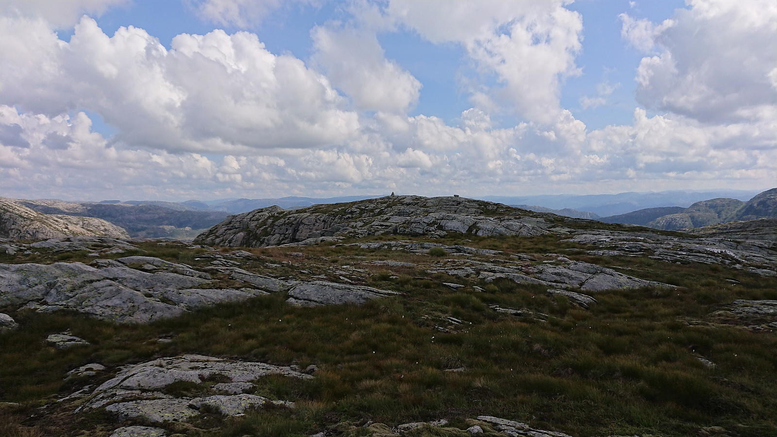
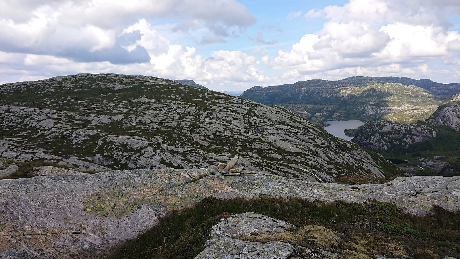
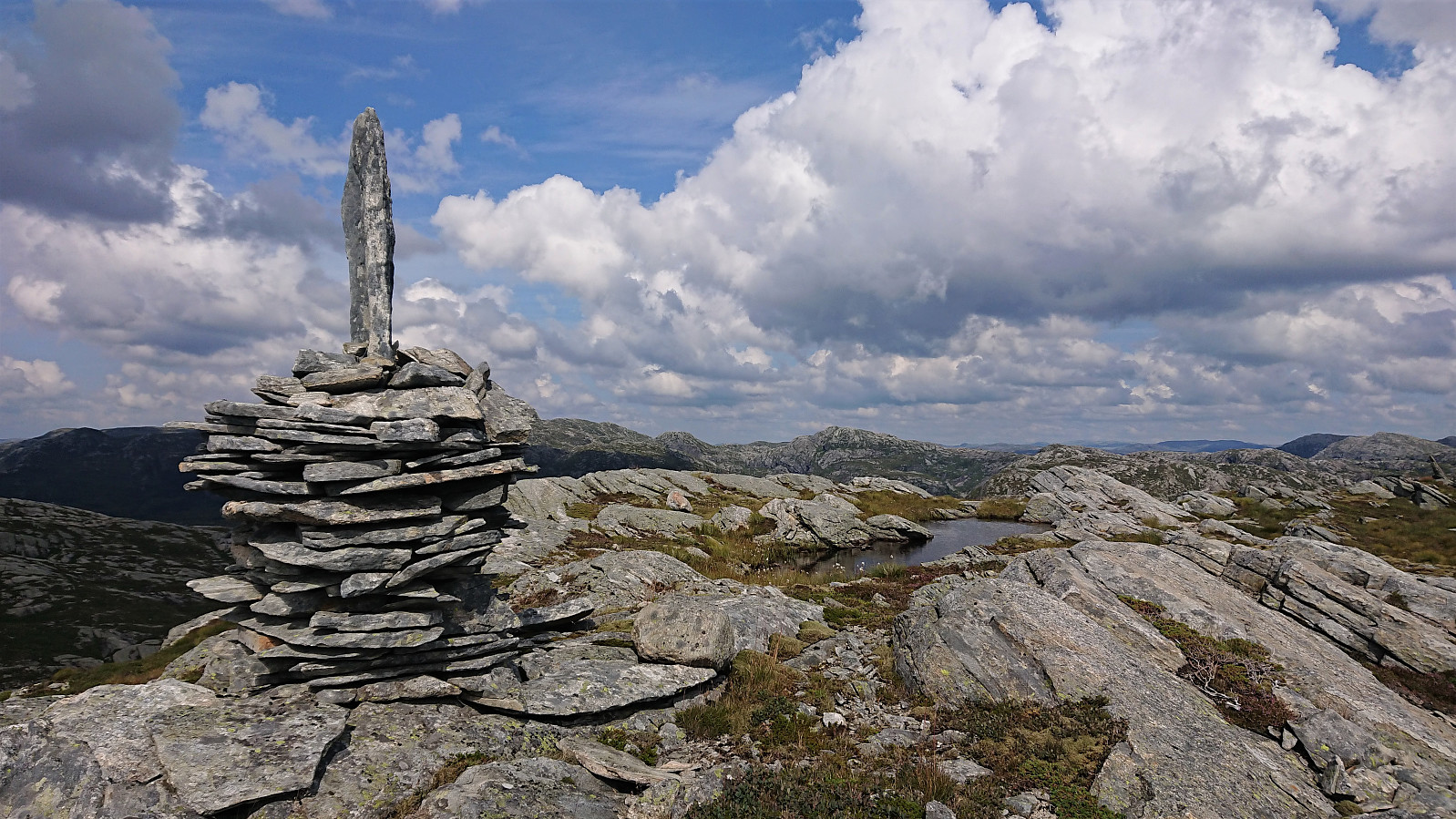
Ascending to Blådalsnipa from Blådalsskaret was straightforward and the summit was reached without any issues. Great views from this summit as well. I however had a bus to catch at Nordkvingo, and did not stay too long before returning to Blådalsskaret and starting the reascent of Storevasseggene. Given that I during the descent had made sure not to make any moves that I could not reverse when going in the opposite direction, the ascent was unproblematic and even easier than the earlier descent.
After getting back up to Storevasseggene, all that remained was to reconnect with the marked trail and follow it back to the bus stop at Nordkvingo. By monitoring my speed, I made it to the bus stop with around 10 minutes to spare.
In summary, a very nice that can be recommended to those not afraid of leaving the marked trail behind. Care should however be taken when descending into Blådalsskaret, and this part of the hike is probably only recommended on dry summer days. But if you do not mind a bit of off-trail scrambling (guided by a couple of cairns), it can be done without any real issues.
| Starttidspunkt | 05.08.2021 12:22 (UTC+01:00 ST) |
| Sluttidspunkt | 05.08.2021 17:02 (UTC+01:00 ST) |
| Totaltid | 4t 40min |
| Bevegelsestid | 4t 15min |
| Pausetid | 0t 24min |
| Snittfart totalt | 3,1km/t |
| Snittfart bevegelsestid | 3,4km/t |
| Distanse | 14,7km |
| Høydemeter | 1220m |


Kommentarer