
Cycling: Dalavatnet and Anestølen (30.07.2021)

Written by hbar (Harald Barsnes)

| Start point | Hollekvebrui p-lomme (386m) |
|---|---|
| Endpoint | Hollekvebrui p-lomme (386m) |
| Characteristic | Bike trip - road |
| Duration | 2h 34min |
| Distance | 23.1km |
| Vertical meters | 328m |
| GPS |
|
| Visits of other PBEs | Anestølen (448m) | 30.07.2021 |
|---|---|---|
| Selseng - Anestølen bomveg (420m) | 30.07.2021 | |
| Anestølen parkeringsplass (445m) | 30.07.2021 | |
| Hollekvebrui p-lomme (386m) | 30.07.2021 |
Cycling: Dalavatnet and Anestølen
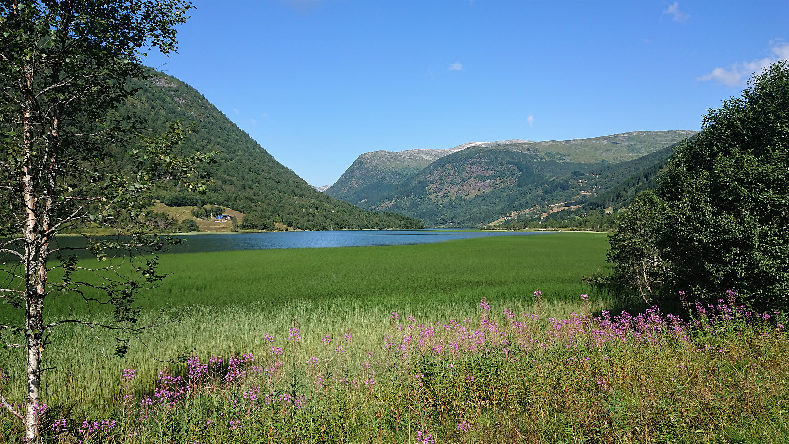
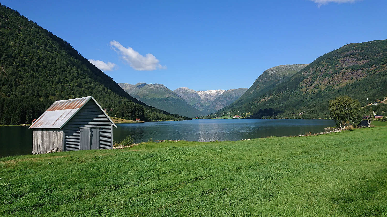
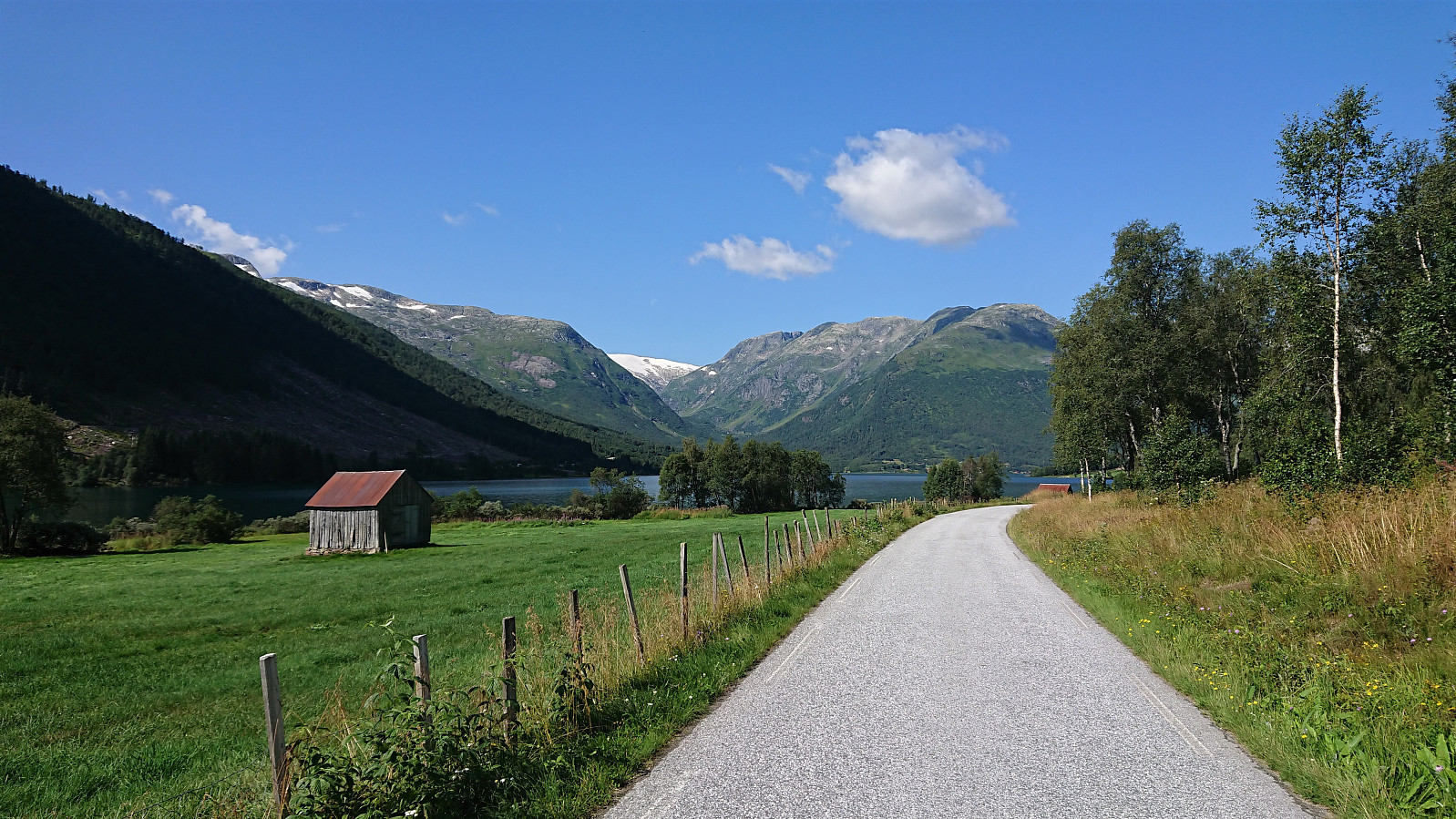
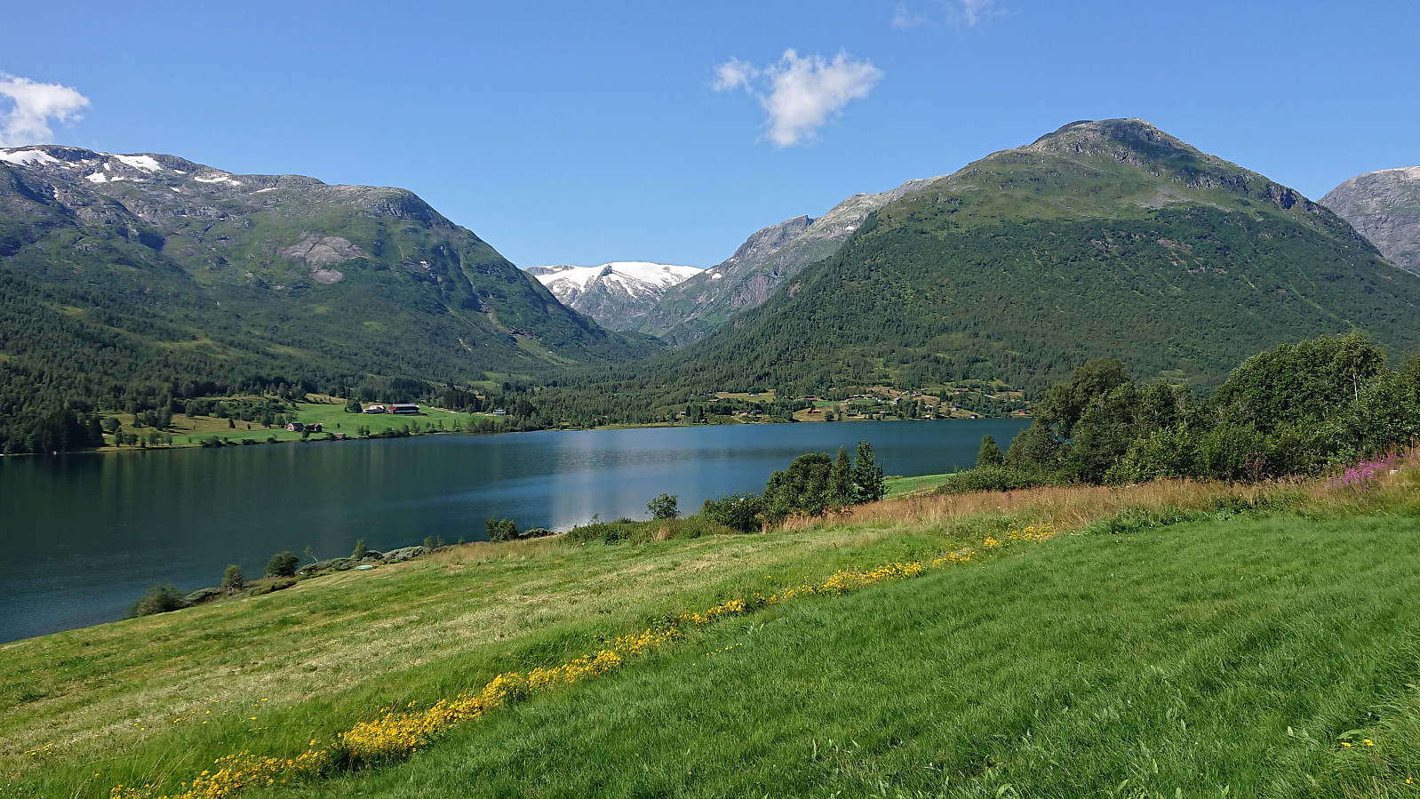
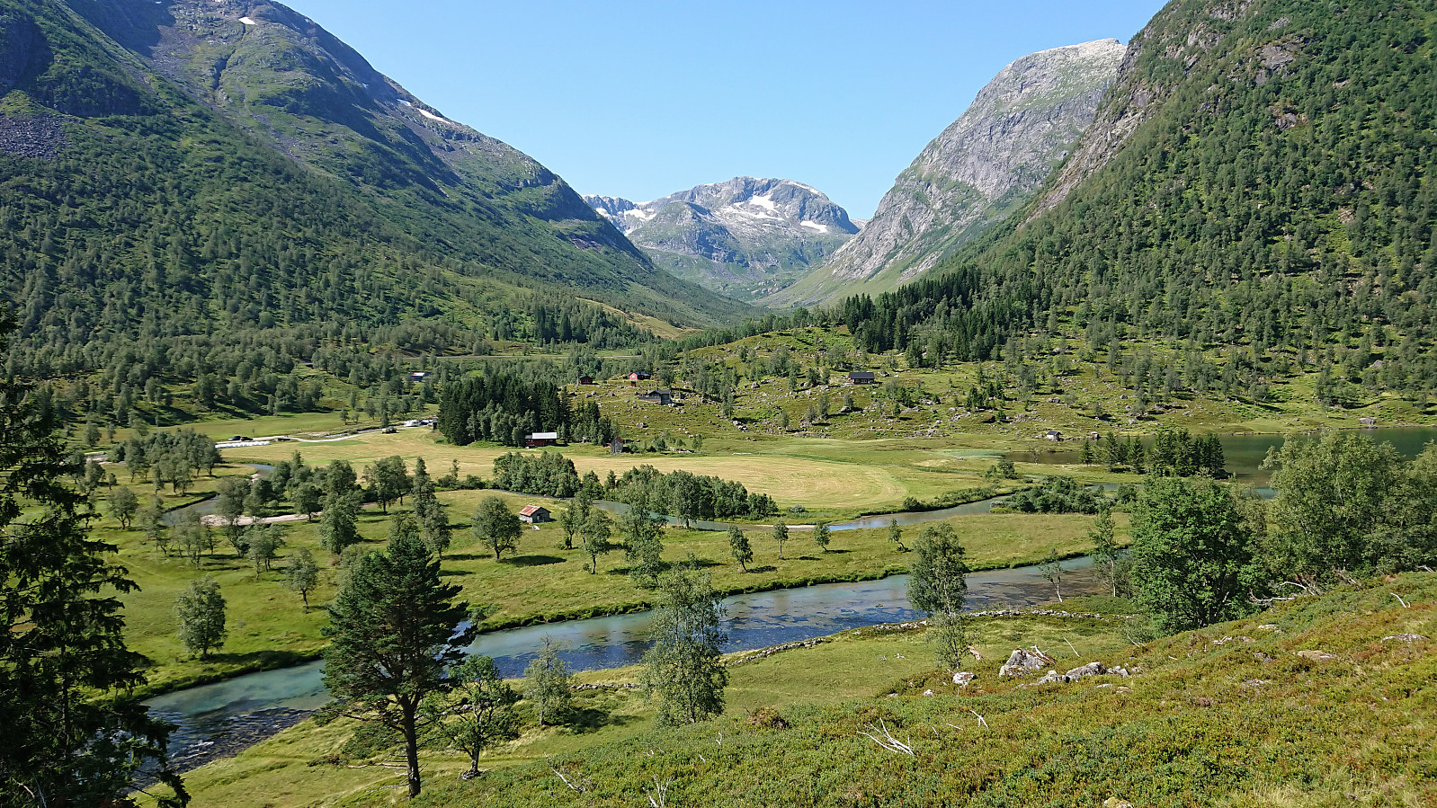
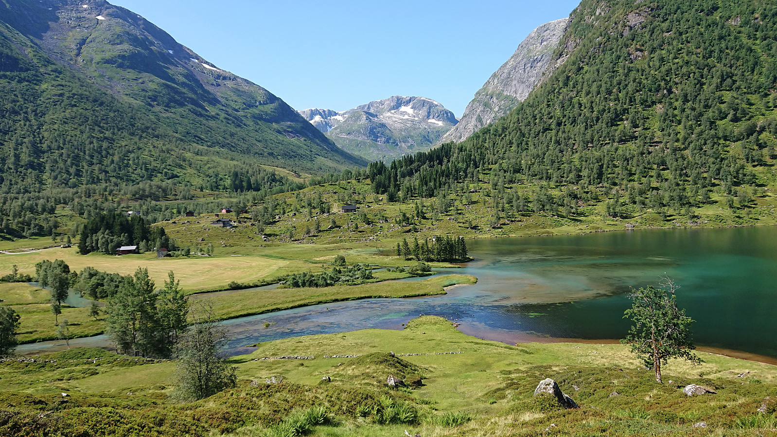
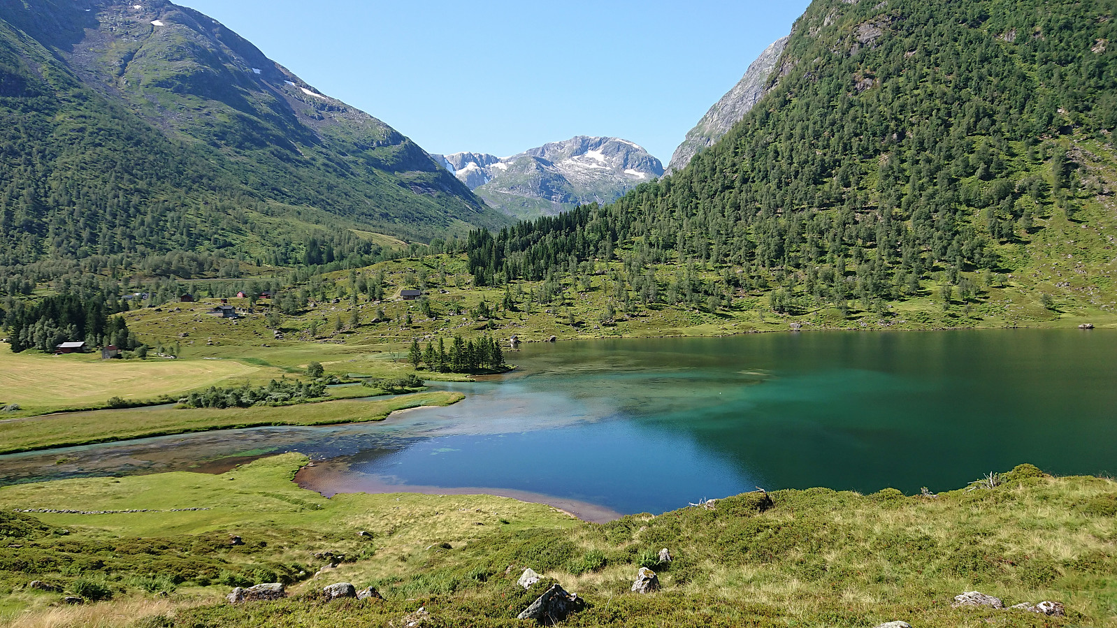
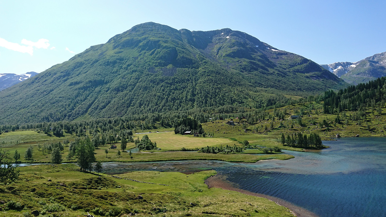
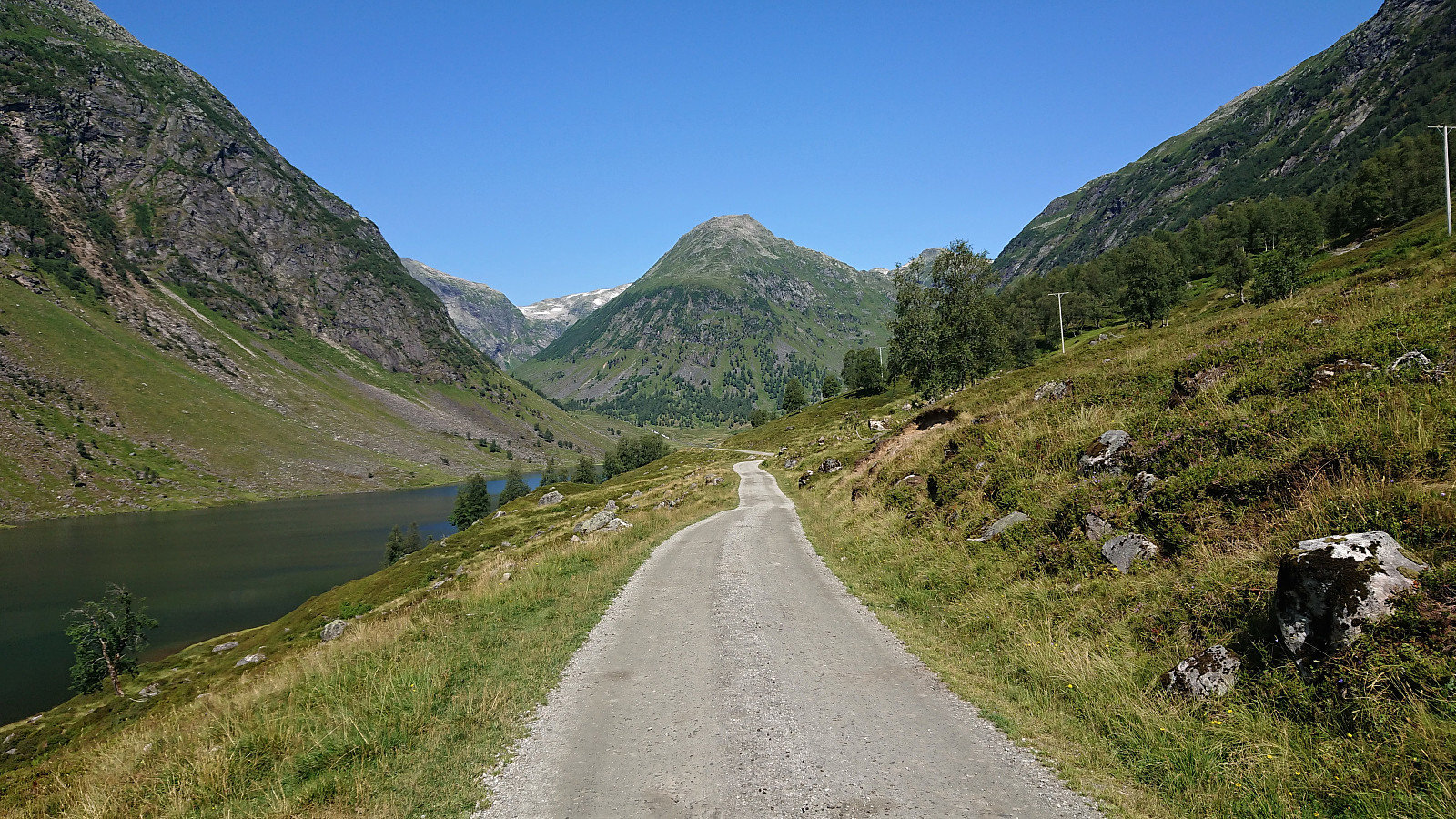
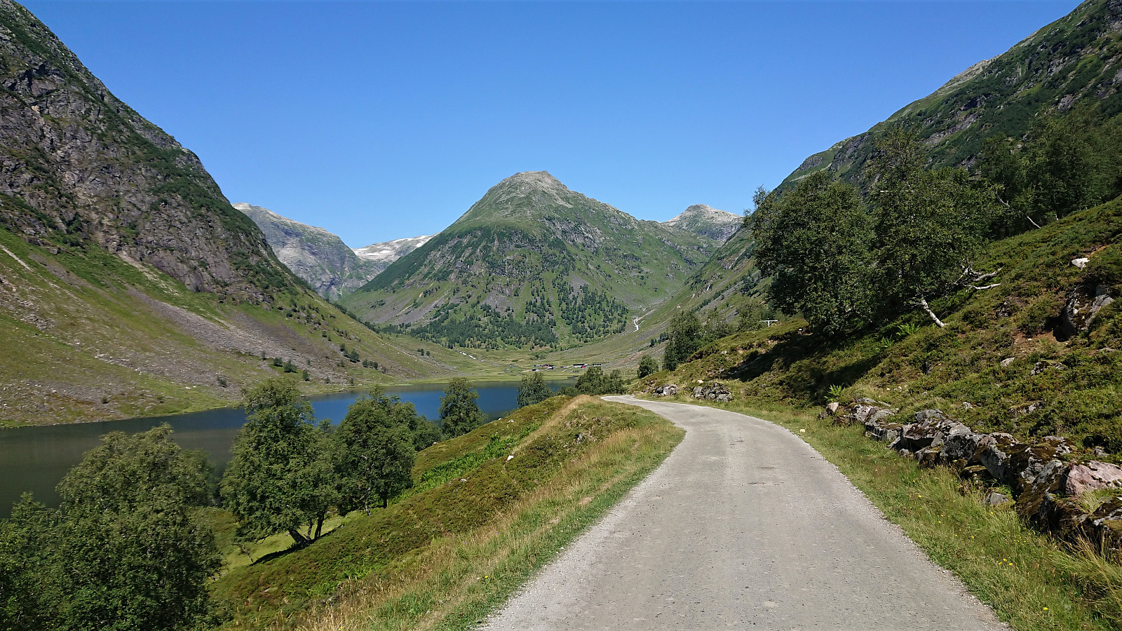
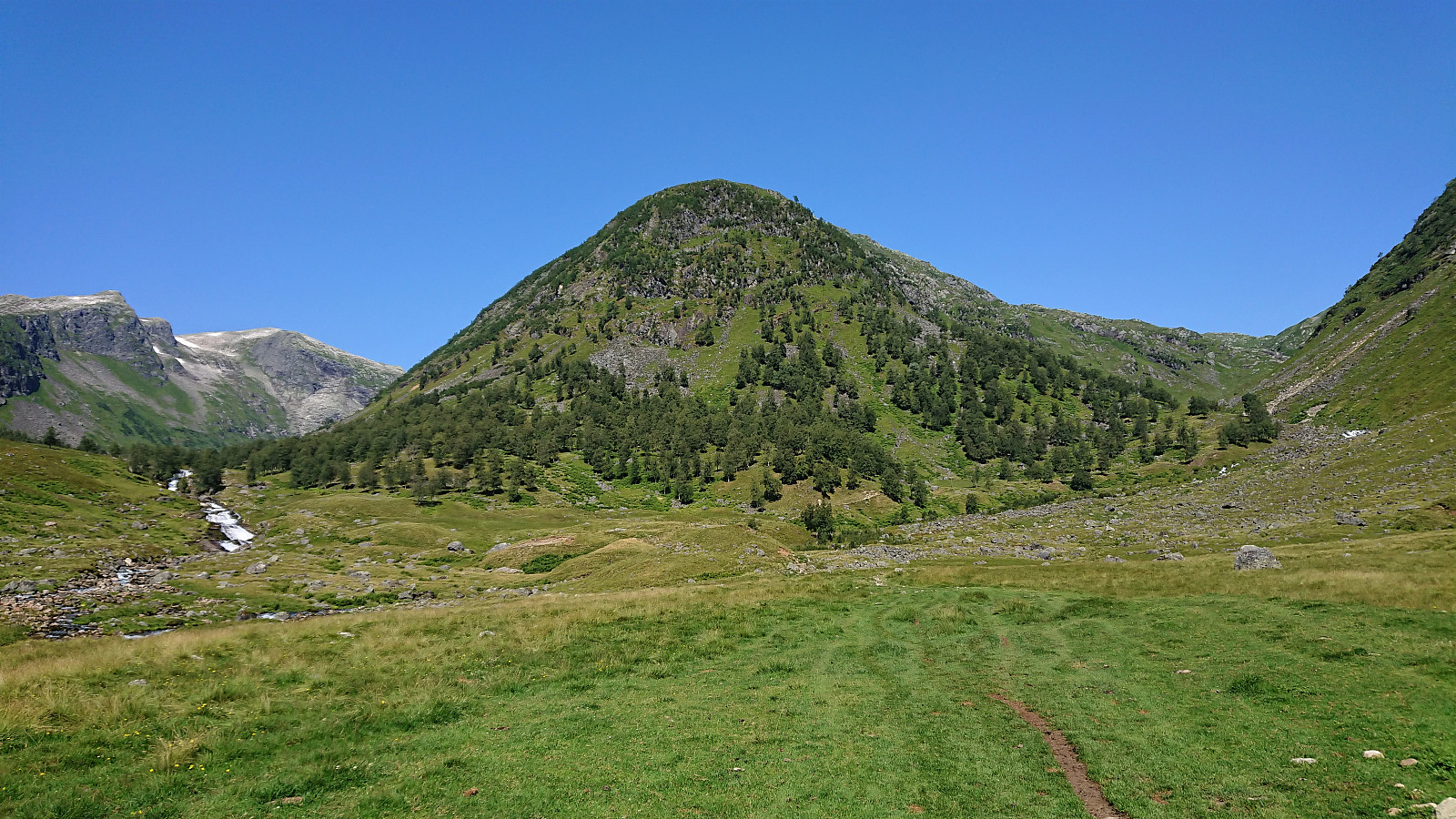
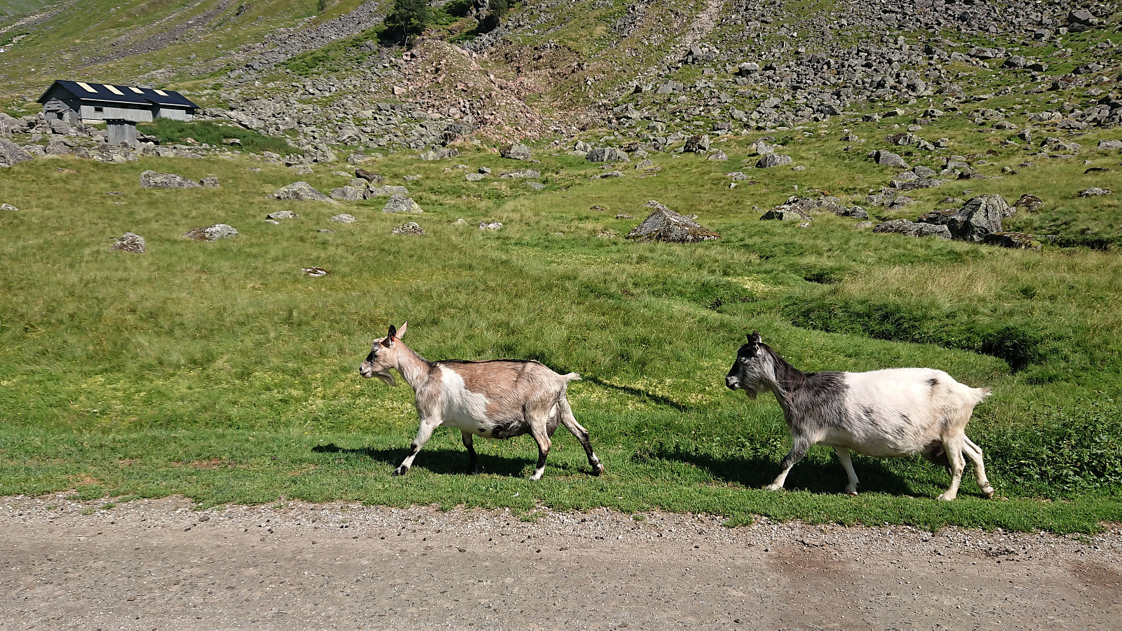
Cycling trip along Dalavatnet starting from Hollekvebrui p-lomme and going all the way to Anestølen before returning. Most of the trip was on a paved road with very little traffic before a gravel road took over for the last stretch in to Anestølen. Overall the paved road was of good quality, however one should pay attention as there are areas where frost heaving has damaged the pavement. I of course managed to hit one of these tiny holes at a time when I was paying more attention to the views than the road, and in some strange way managed to tumble over the handle bars of my bike and hitting the asphalt. Luckily my speed was very low and I got way with only minor bruises and could continue cycling, but now paying at least slightly more attention to the road. In summary, an excellent trip with spectacular views along the way!
| Start date | 30.07.2021 11:34 (UTC+01:00 DST) |
| End date | 30.07.2021 14:08 (UTC+01:00 DST) |
| Total Time | 2h 34min |
| Moving Time | 2h 21min |
| Stopped Time | 0h 12min |
| Overall Average | 9.0km/h |
| Moving Average | 9.8km/h |
| Distance | 23.1km |
| Vertical meters | 327m |


Benutzerkommentare