
Cycling: Myrdalsvatnet and Preståsen (18.07.2021)

Written by hbar (Harald Barsnes)

| Start point | Lønborg (56m) |
|---|---|
| Endpoint | Lønborg (56m) |
| Characteristic | Bike trip - mixed |
| Duration | 3h 10min |
| Distance | 43.4km |
| Vertical meters | 859m |
| GPS |
|
| Ascents | Preståsen (129m) | 18.07.2021 |
|---|---|---|
| Visits of other PBEs | Bryggen i Bergen (1m) | 18.07.2021 |
| Myrdal parkering (80m) | 18.07.2021 | |
| Nygårdsbroene (5m) | 18.07.2021 |
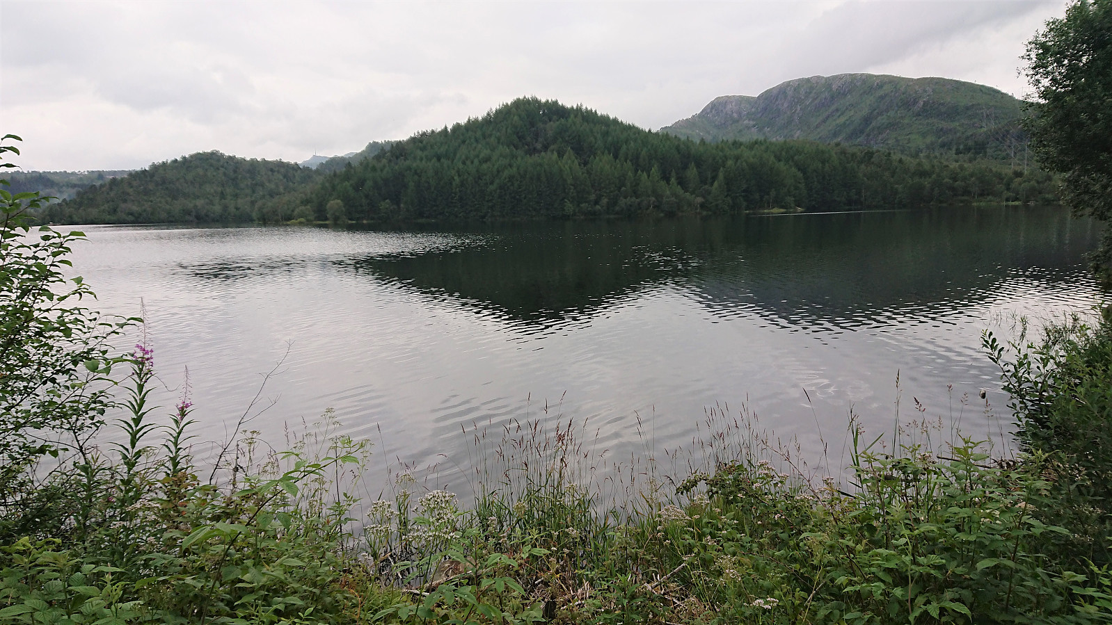
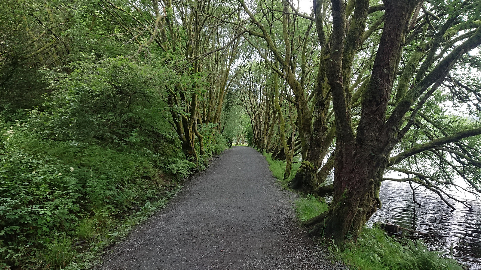
Cycling: Myrdalsvatnet and Preståsen
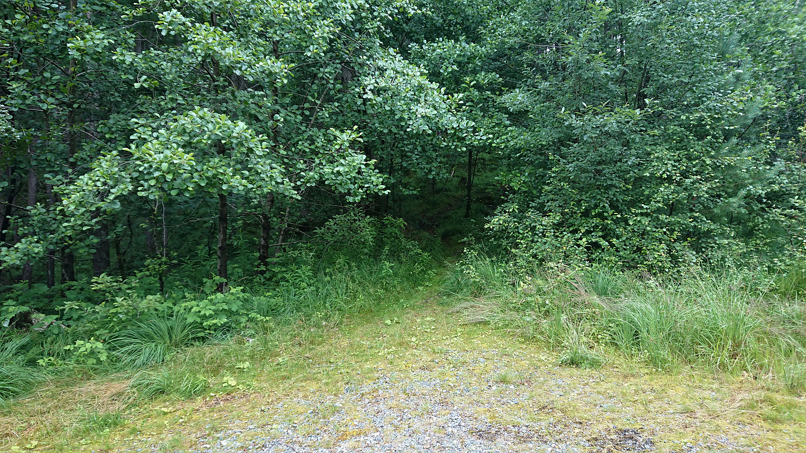
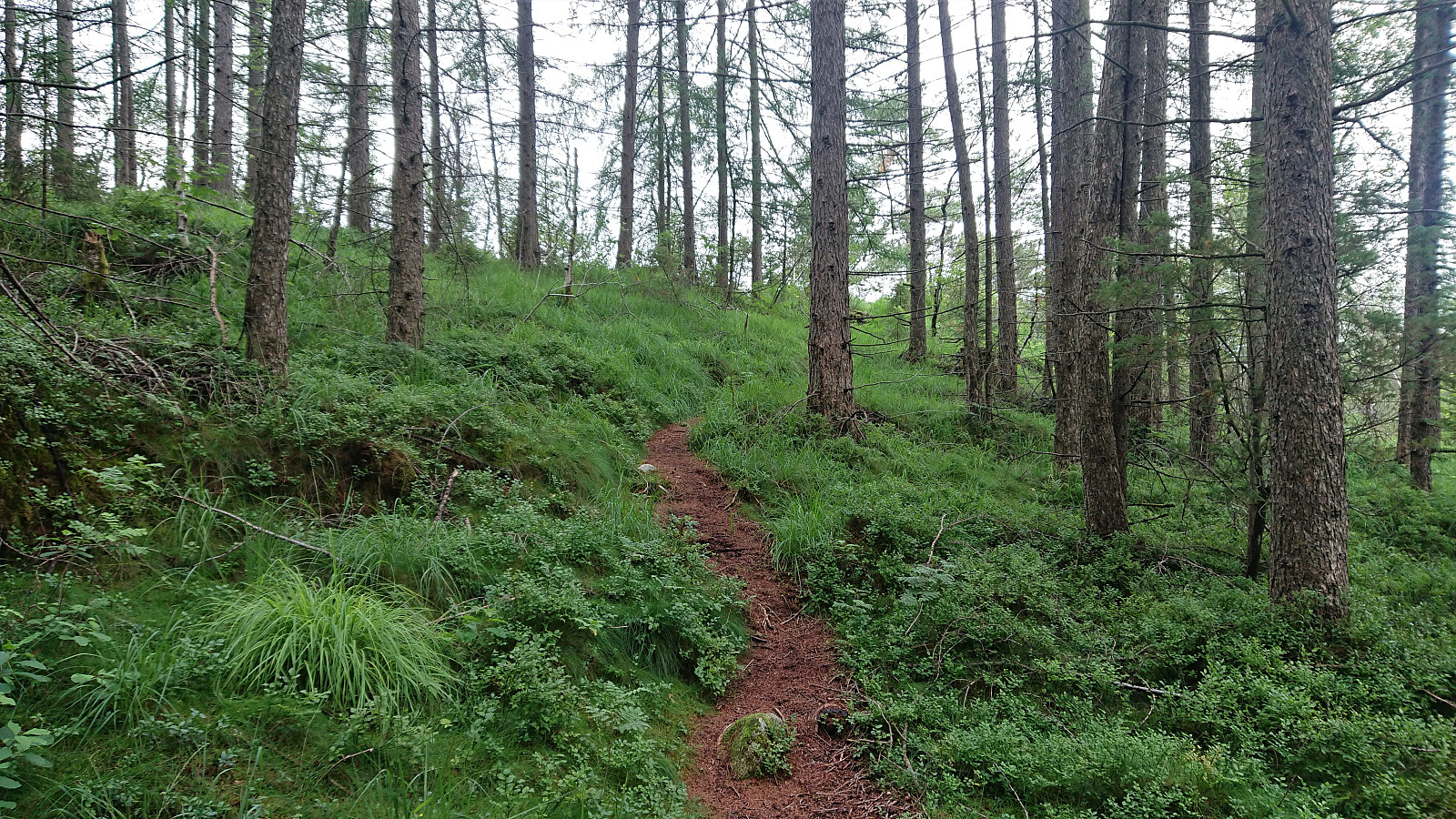
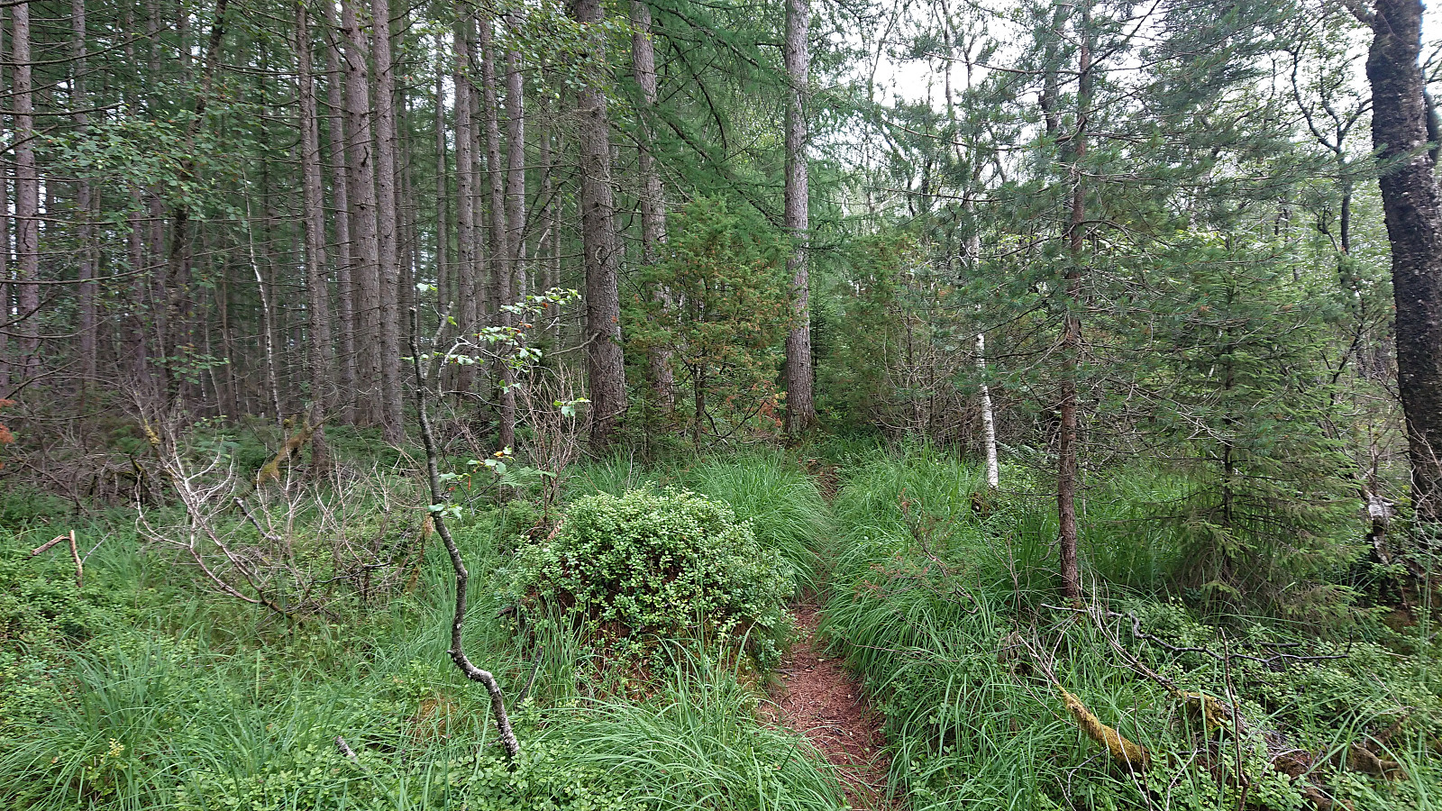
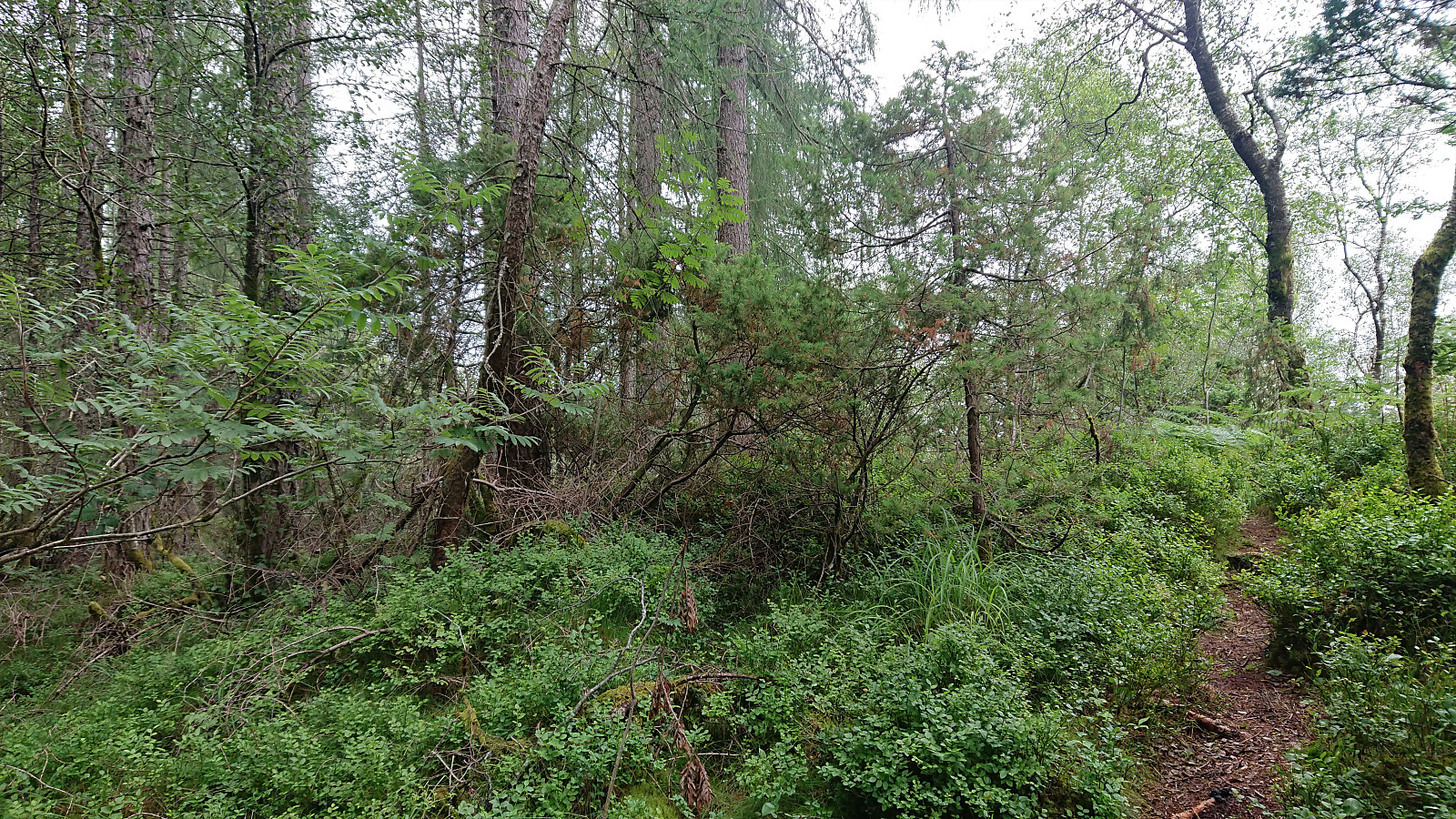
When the rain showers finally stopped, or so I thought, I cycled towards Myrdalsvatnet for a visit of Preståsen. It however started raining again as I was approaching Nesttun, but thankfully it was only light rain and soon stopped completely. The summit of Preståsen was easily reached on foot via an unmarked trail starting from the gravel road northeast of Myrdalsvatnet. Next to no views from the summit nor the trail though. I even briefly followed the trail south beyond the summit to check if there were any better views there, but this was not the case as far as I could tell. I therefore returned to my bike at the gravel road and followed it north before returning south to Myrdalsvatnet and the ride home.
| Start date | 18.07.2021 17:18 (UTC+01:00 DST) |
| End date | 18.07.2021 20:29 (UTC+01:00 DST) |
| Total Time | 3h 10min |
| Moving Time | 3h 03min |
| Stopped Time | 0h 6min |
| Overall Average | 13.7km/h |
| Moving Average | 14.2km/h |
| Distance | 43.4km |
| Vertical meters | 859m |


User comments