
Four small hills south of Småvatnet and Storavatnet (11.07.2021)

Geschrieben von hbar (Harald Barsnes)

| Startpunkt | Medhaugsflaten (42m) |
|---|---|
| Endpunkt | Loddefjord terminal (4m) |
| Tourcharakter | Bergtour |
| Tourlänge | 2h 31min |
| Entfernung | 8,5km |
| Höhenmeter | 354m |
| GPS |
|
| Besteigungen | Grønabrekka (94m) | 11.07.2021 |
|---|---|---|
| Mathopsskjenet (73m) | 11.07.2021 | |
| Nord for Medhaugsflaten (81m) | 11.07.2021 | |
| Myraskjena (87m) | 11.07.2021 | |
| Storhaugen (87m) | 11.07.2021 | |
| NØ for Ytste Rotatjørna (88m) | 11.07.2021 | |
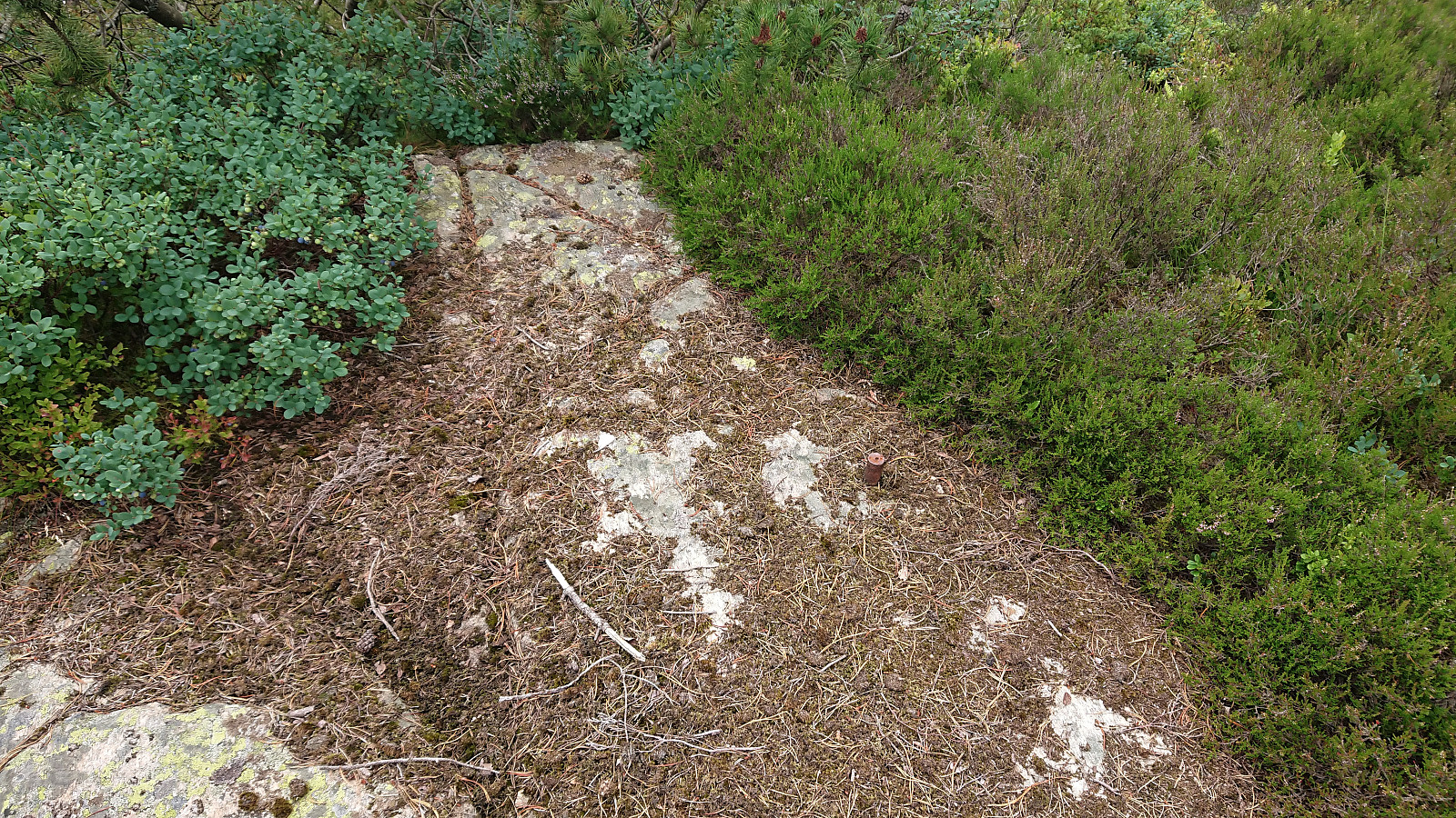
| Besuche anderer PBE | Vassenden skole (tuft) (29m) | 11.07.2021 |
Four small hills south of Småvatnet and Storavatnet
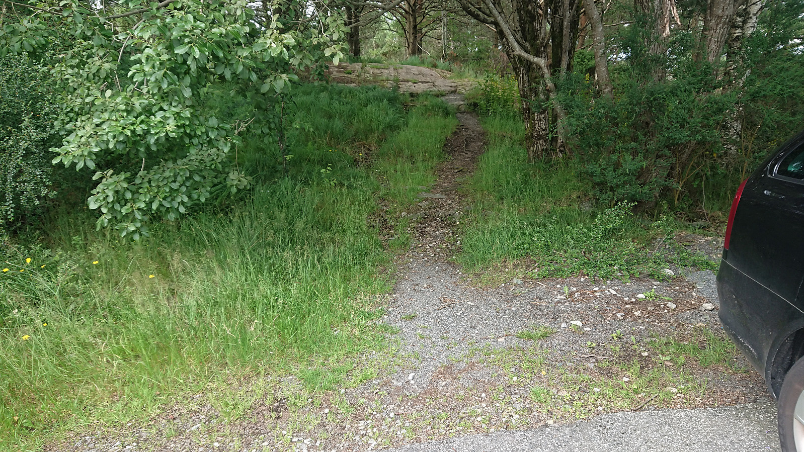
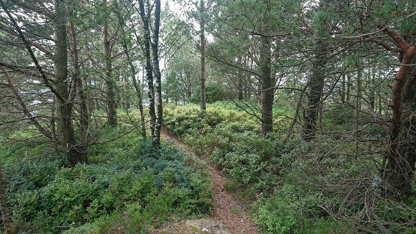
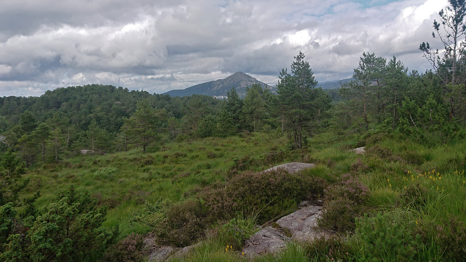
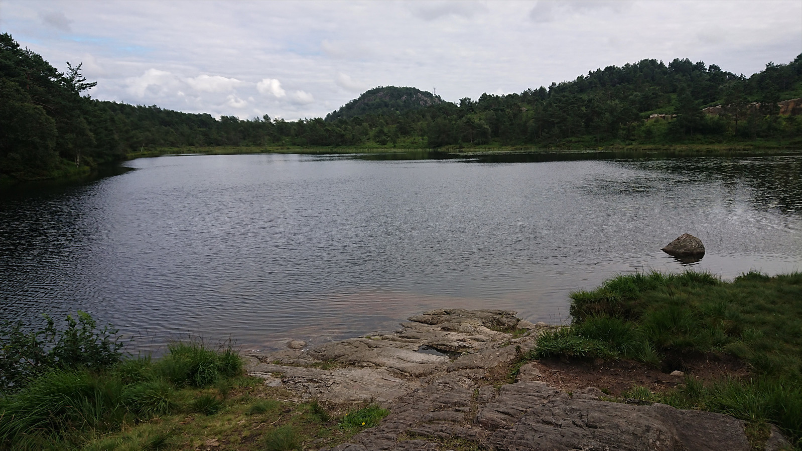
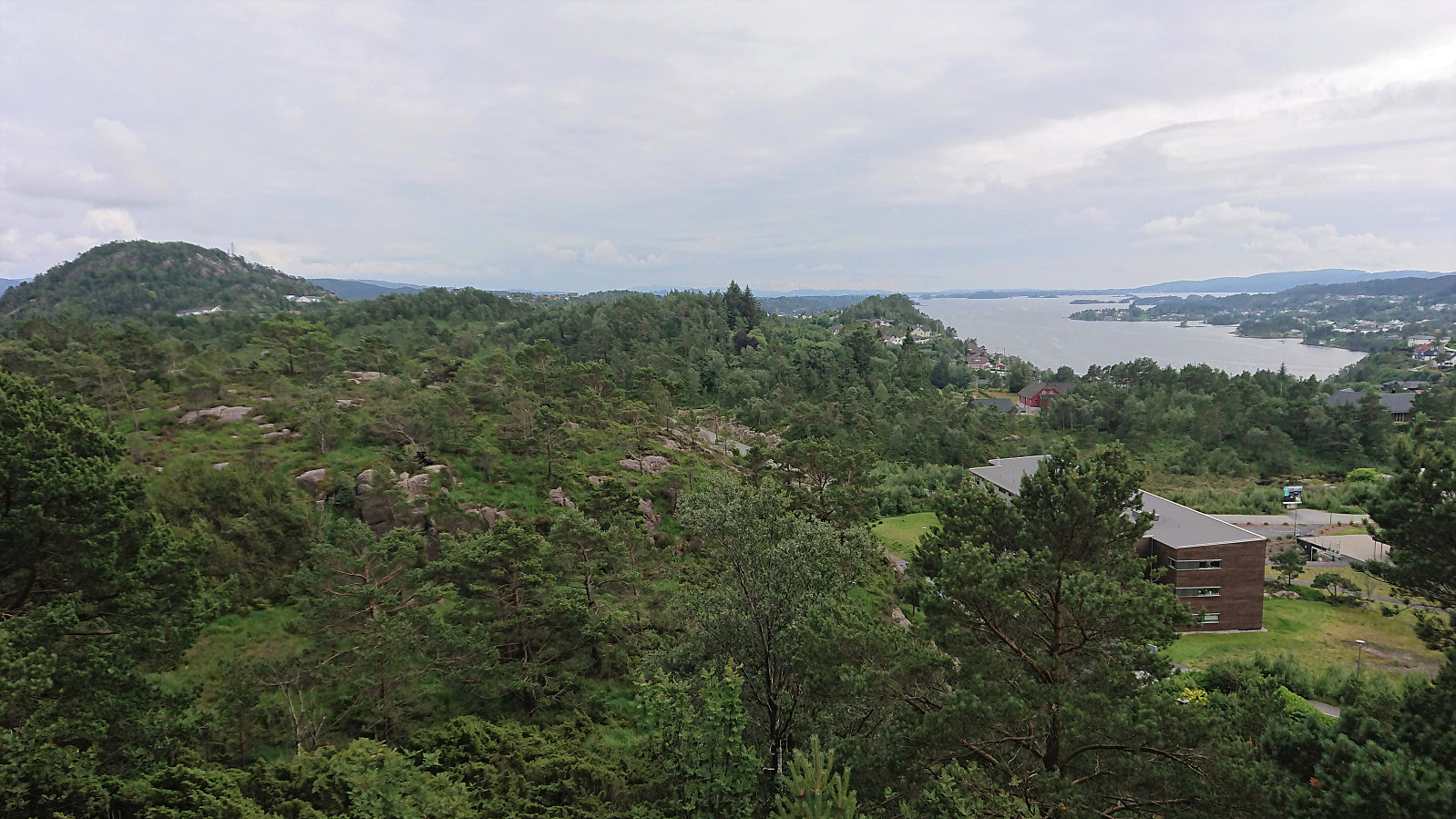
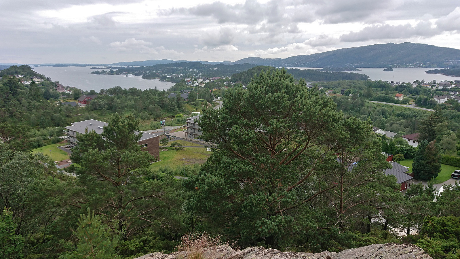
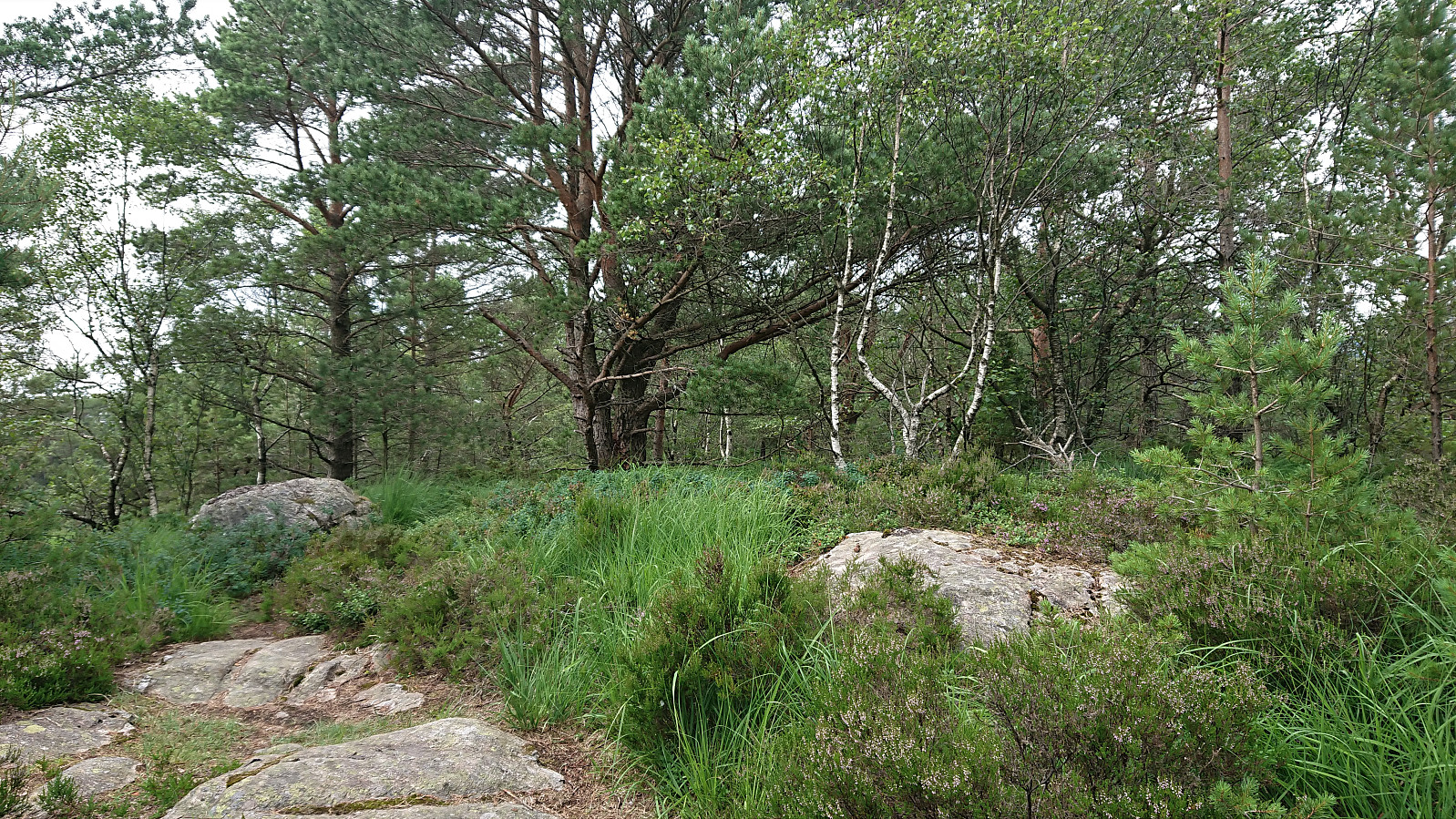
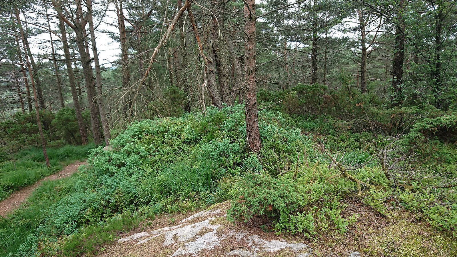
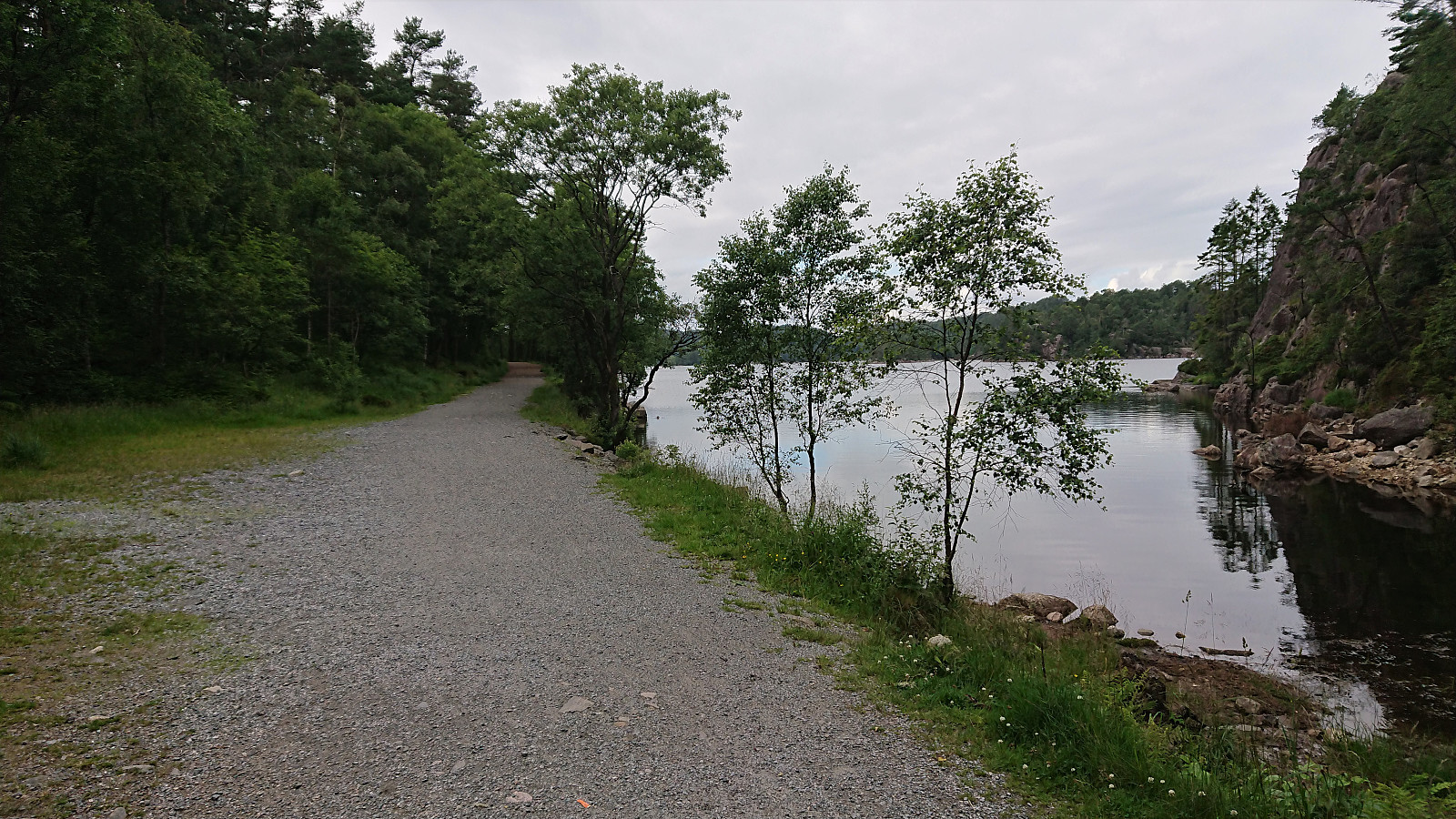
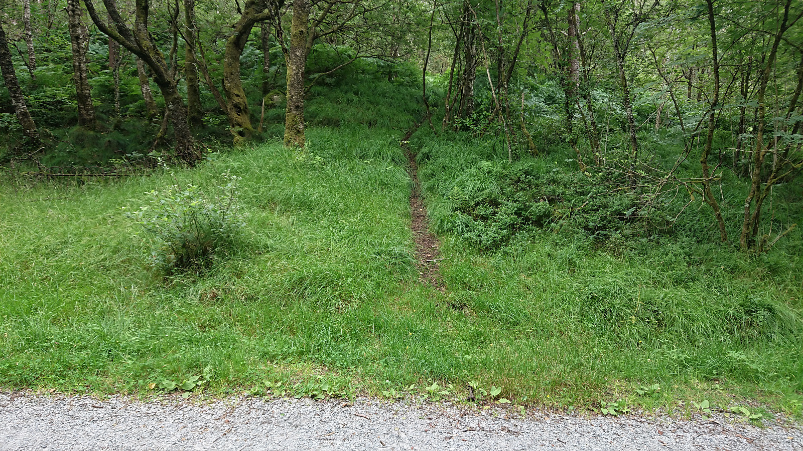
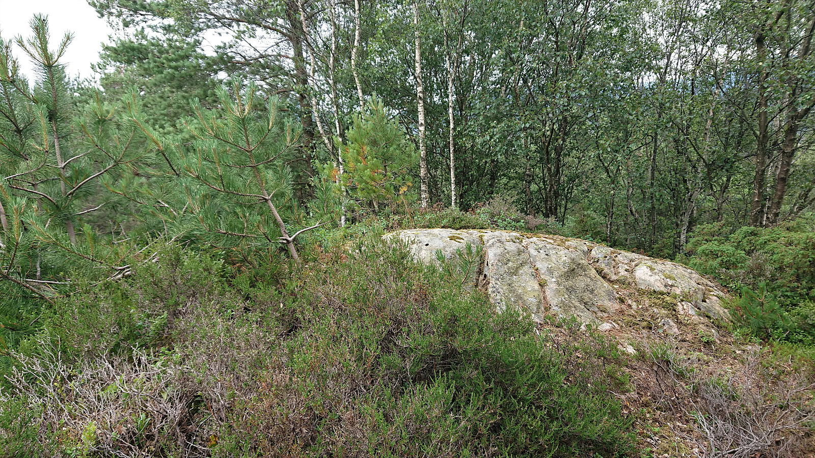
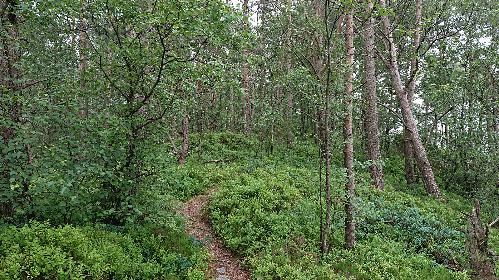
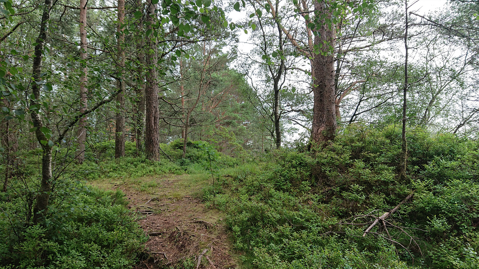
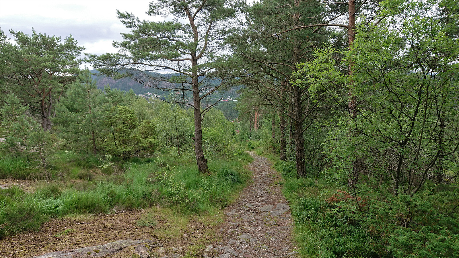
On a hike with the main objective of visiting Grønabrekka, a recent addition to the Alle topper i Bergen list, I took the opportunity to explore the area south of Småvatnet and Storavatnet. This resulted in visiting three additional small hills, all with their own name, namely Myraskjena, Mathopsskjenet and Storhaugen, each now added as its own PB-element. To my surprise, all four summits, except for Storhaugen (which only required a very short off-trail detour), could be reached simply by following the many trails in the area, which were overall of good quality (even those not indicated on the map). This made for a much nicer hike than expected, despite the relatively limited views from most of the summits.
Update: two additional small hills that I happened to visited were later added (not by me) as their own PB-elements, namely N for Medhaugsflaten and NØ for Ytste Rotatjørna.


| Startzeitpunkt | 11.07.2021 17:00 (UTC+01:00 SZ) |
| Endzeitpunkt | 11.07.2021 19:31 (UTC+01:00 SZ) |
| Gesamtzeit | 2h 31min |
| Zeit in Bewegung | 2h 28min |
| Pausenzeit | 0h 3min |
| Gesamtschnitt | 3,4km/h |
| Bewegungsschnitt | 3,4km/h |
| Entfernung | 8,5km |
| Höhenmeter | 354m |


Benutzerkommentare