
Nice round around Fedje (19.06.2021)

Geschrieben von HHauser (Helwig Hauser)

| Startpunkt | Fedje ferry port |
|---|---|
| Endpunkt | Fedje ferry port (1m) |
| Tourcharakter | Wanderung |
| Tourlänge | 4h 00min |
| Entfernung | 11,0km |
| Höhenmeter | 340m |
| GPS |
|
| Besteigungen | Såta (34m) | 19.06.2021 |
|---|---|---|
| Besuche anderer PBE | Aurihophytta (15m) | 19.06.2021 |

Trip Summary
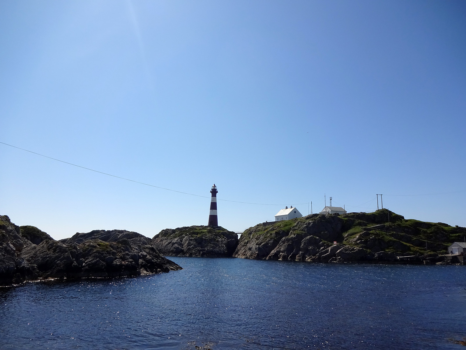
We took the ferry to Fedje and started our hike around the island from there. Our plan was to round Fedje in clockwise direction. Accordingly, we headed southwestwards, first, to pass by Husavatnet on its western side. Continuing in southwestern direction, we got around the wetter inner areas of Fedje near the west coast of the island. After walking by Vassviketjørna, we made a short detour to Vassvika to enjoy a short lunch break. From there, we continued further southwards until we were very close to Hellisøy with its impressive lighthouse. We then switched over to the eastern side of the island by following Fyrsundvegen. After a few steps on Stormarkvegen, we turned onto Mortevikvegen, which brought us to the head of the trail along the eastern coast of Fedje. Following this trail northwards, we reconnected with Stormarkvegen only a few meters in the south of Storevatnet. From there, it was then just to walk back along Stormarkvegen. All in all, making this round around Fedje is really a nice hike in special coastal landscape! :-)
Photos
Selected photos are available as Google photo album.
Useful Resources
See also the related FB-page Hiking around Bergen, Norway.


Benutzerkommentare