
Stemmevatnet and Spåkevatnet (03.07.2021)

Skrevet av hbar (Harald Barsnes)

| Startsted | Bjørkhaug, E16 (80moh) |
|---|---|
| Sluttsted | Orfallet, E16 (69moh) |
| Turtype | Fjelltur |
| Turlengde | 3t 15min |
| Distanse | 9,9km |
| Høydemeter | 527m |
| GPS |
|
| Bestigninger | Beitelen (259moh) | 03.07.2021 |
|---|---|---|
| Ulvaberget (219moh) | 03.07.2021 | |
| Nystemhaugen (187moh) | 03.07.2021 | |
| Stemhaugen (178moh) | 03.07.2021 | |
| Sør for Beitelen (185moh) | 03.07.2021 | |
| Ullberget (192moh) | 03.07.2021 | |
| Ådneskarhaugen (159moh) | 03.07.2021 | |
| Andre besøkte PBE'er | Arna Stadion p-plass (90moh) | 03.07.2021 |
Stemmevatnet and Spåkevatnet
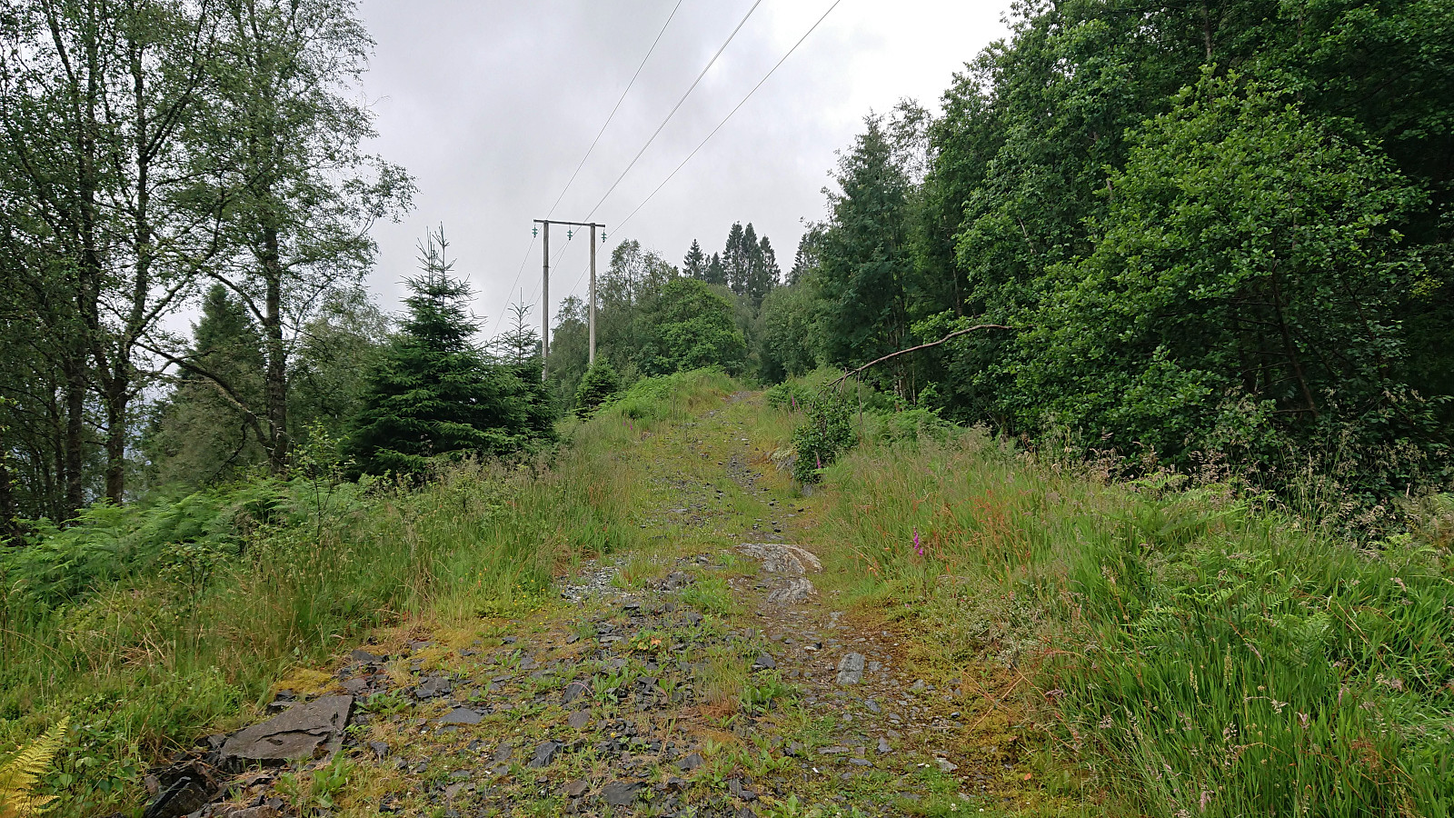
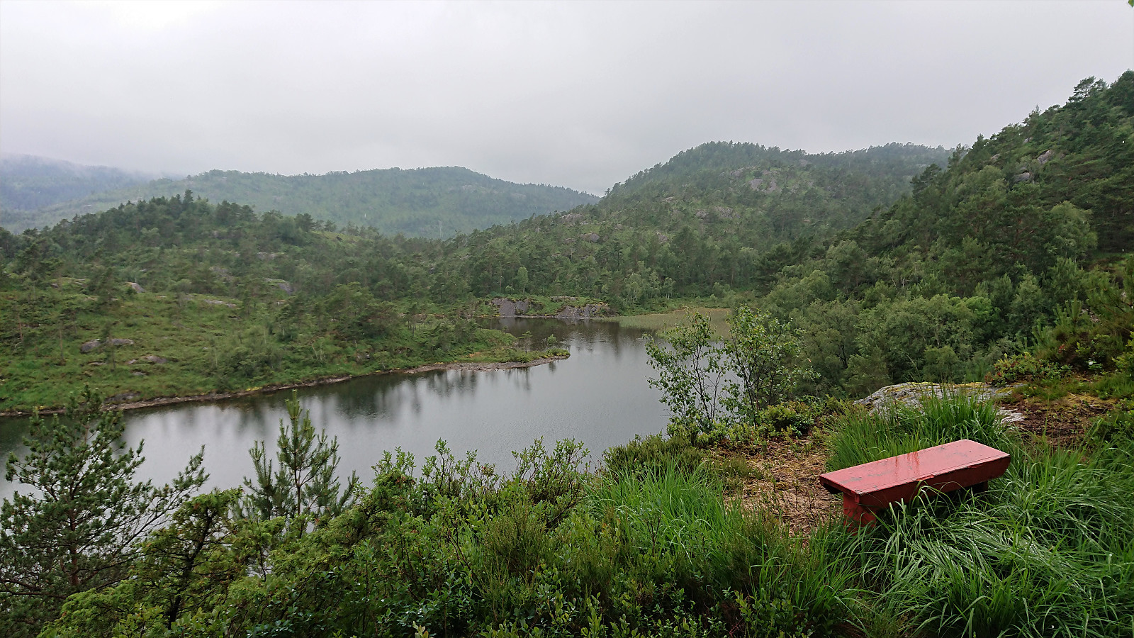

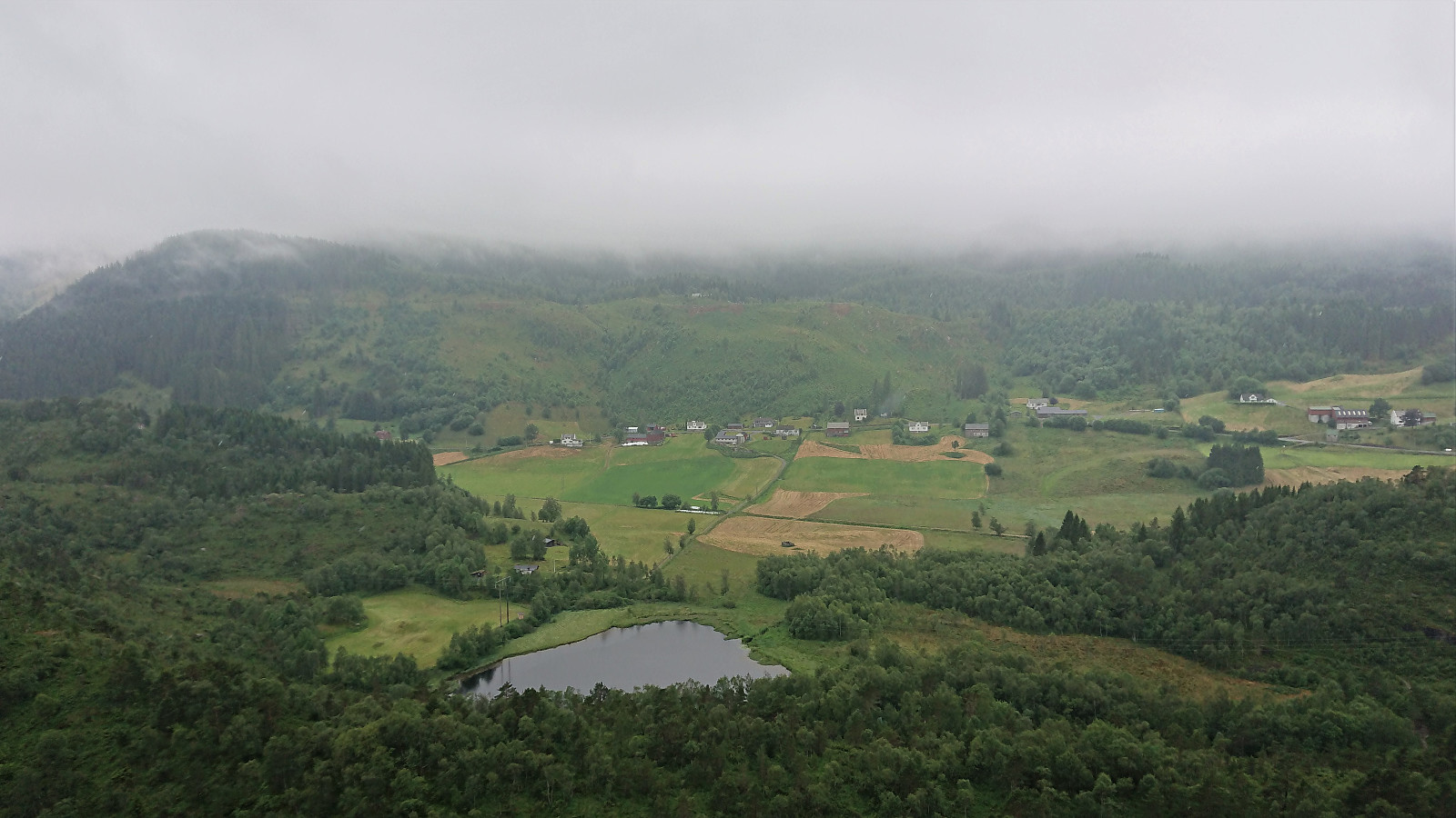
A hike with the main goal of visiting Ullberget, but also exploring other minor peaks in the area around Stemmevatnet and Spåkevatnet as possible additions to the Alle topper i Bergen list. I started by taking the bus the stop called Bjørkhaug and from there followed a tractor road, that soon turned into a trail, taking me up to Stemmevatnet. Here I made a quick visit of Stemhaugen, which could be reached by a trail and provided a very nice view across Stemmevatnet.
Though not indicated on the map, the trail continued south across the summit of Stemhaugen and I soon connected with the main trail to the old discontinued shooting range. I then made a short off-trail detours to the summits of Olderhaugen (32V 304406 6705908) and Litlesåta (32V 304488 6705700), neither of which provided much in terms of views, and while maybe fulfilling the "rules" of being named peaks and having vertical separations above 10 meters, I in the end decided to not add them as new PB-elements.
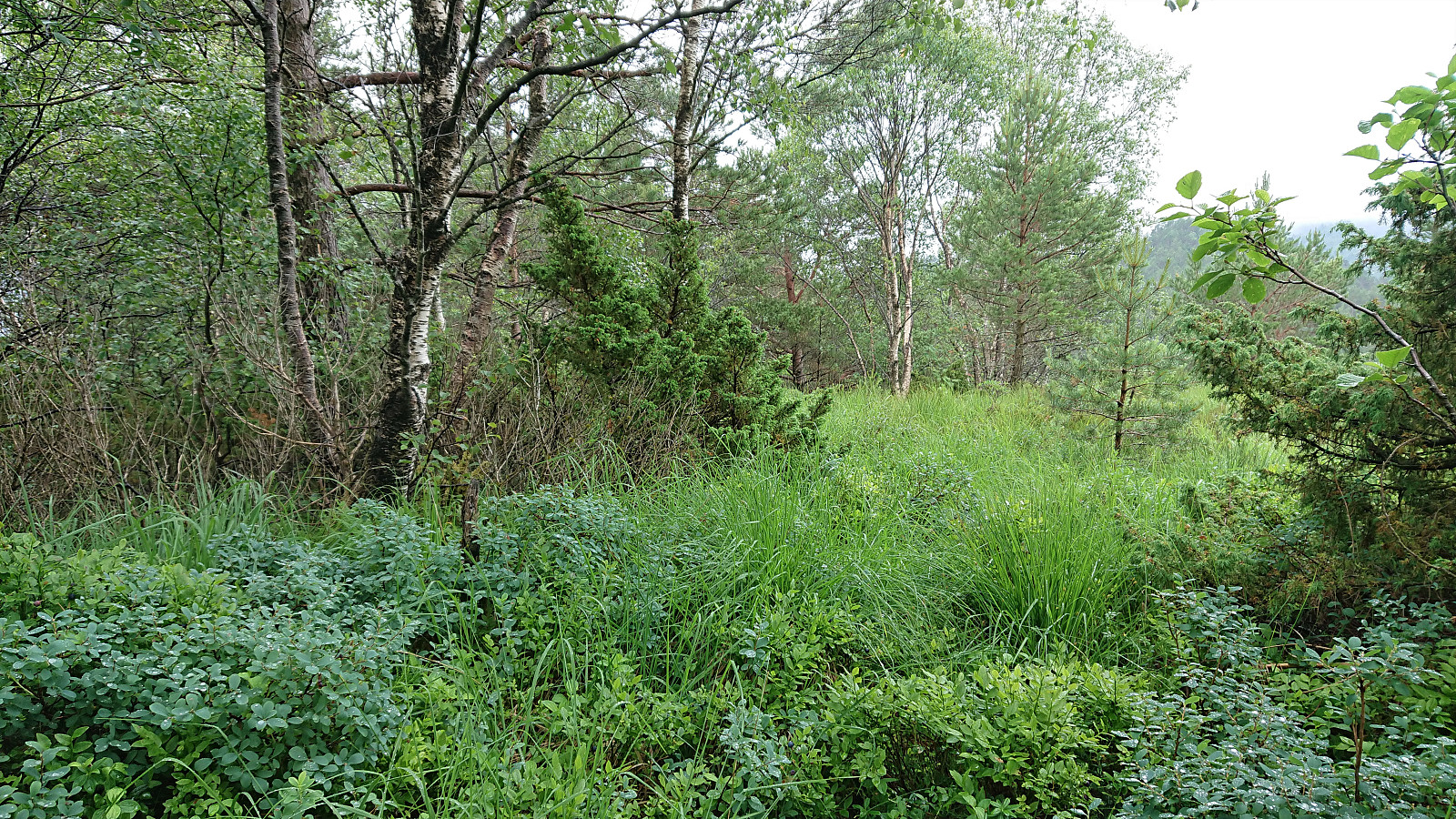
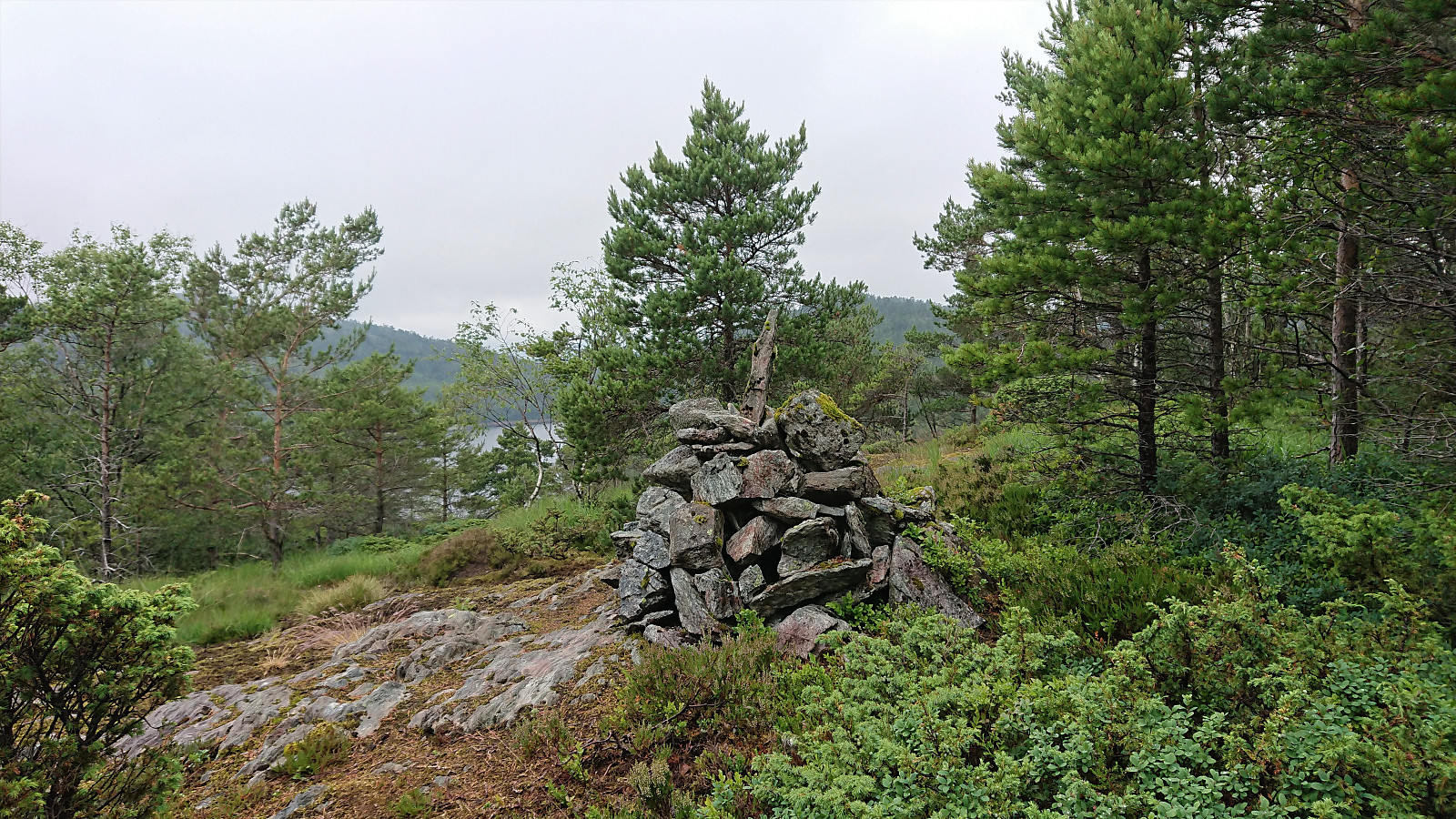
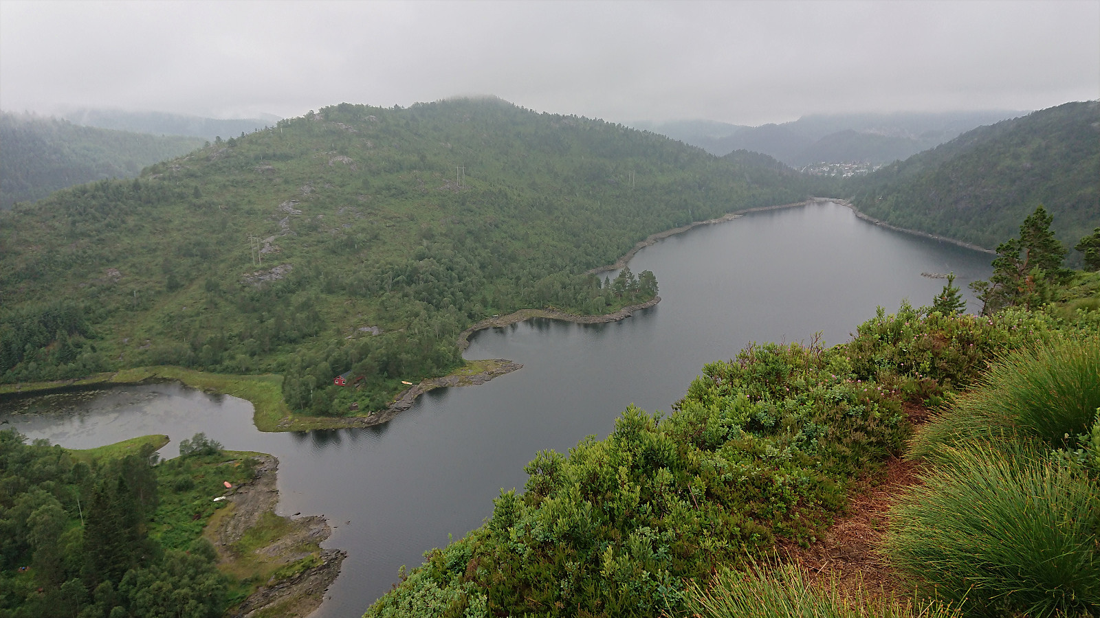
After shortly reconnecting with the trail, I again left it to head off-trail towards Nystemhaugen. Or at least I started off-trail, as to my surprise I shortly came across a trail marked with cairns that brought me all the way to a summit marked with a relatively large cairn. The trail even continued north across the summit, where it, I later learned from the maps at the parking lot at Gaupås, connects with the trail in the valley between Spåkefjellet and Sjurstonipa.
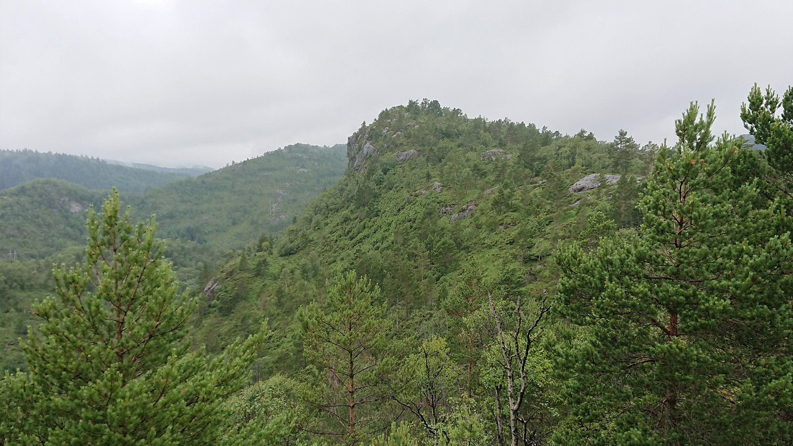
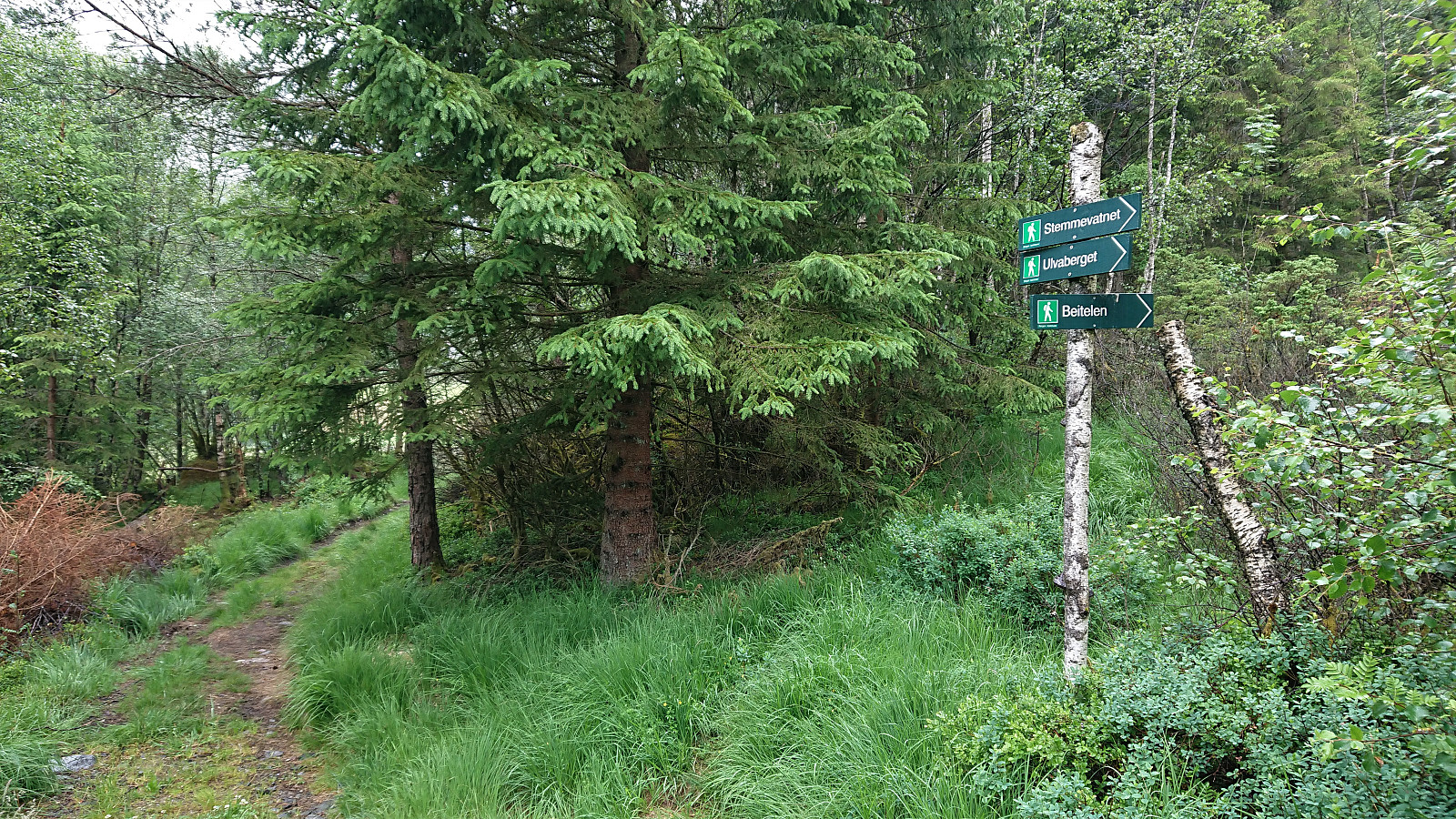
This was however the wrong direction for today’s hike, so I instead turned back and followed the trail in the opposite direction, in the end arriving at the trail to Ulvaberget. Note that Ulvaberget was previously incorrectly named Lydarnipa on PB. However, Lydarnipa is the smaller hill to the southeast (32V 304102 6705442). The name has therefore now been corrected to the one used on maps and signs in the area, i.e. Ulvaberget.
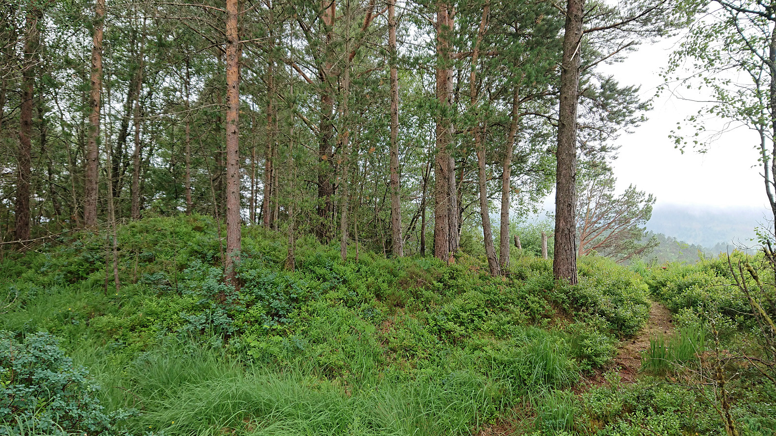
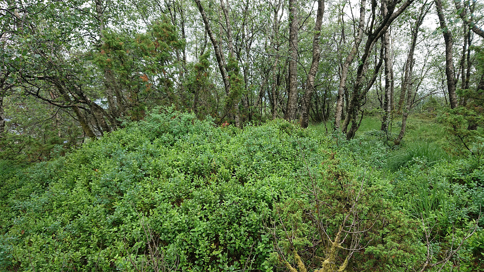
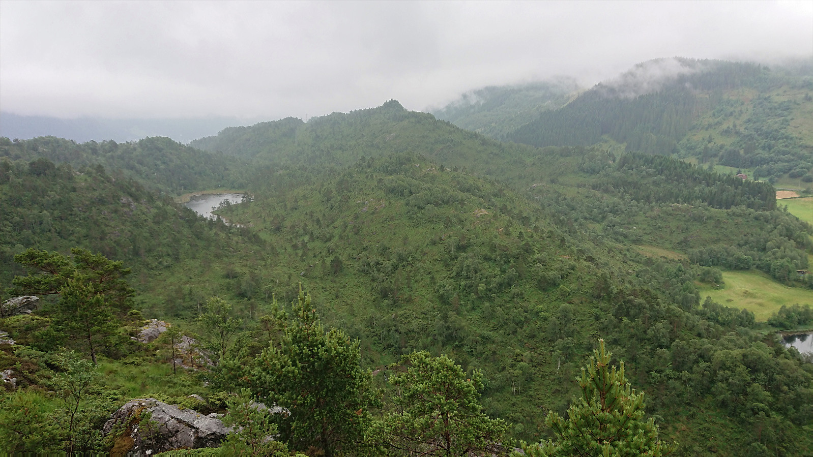
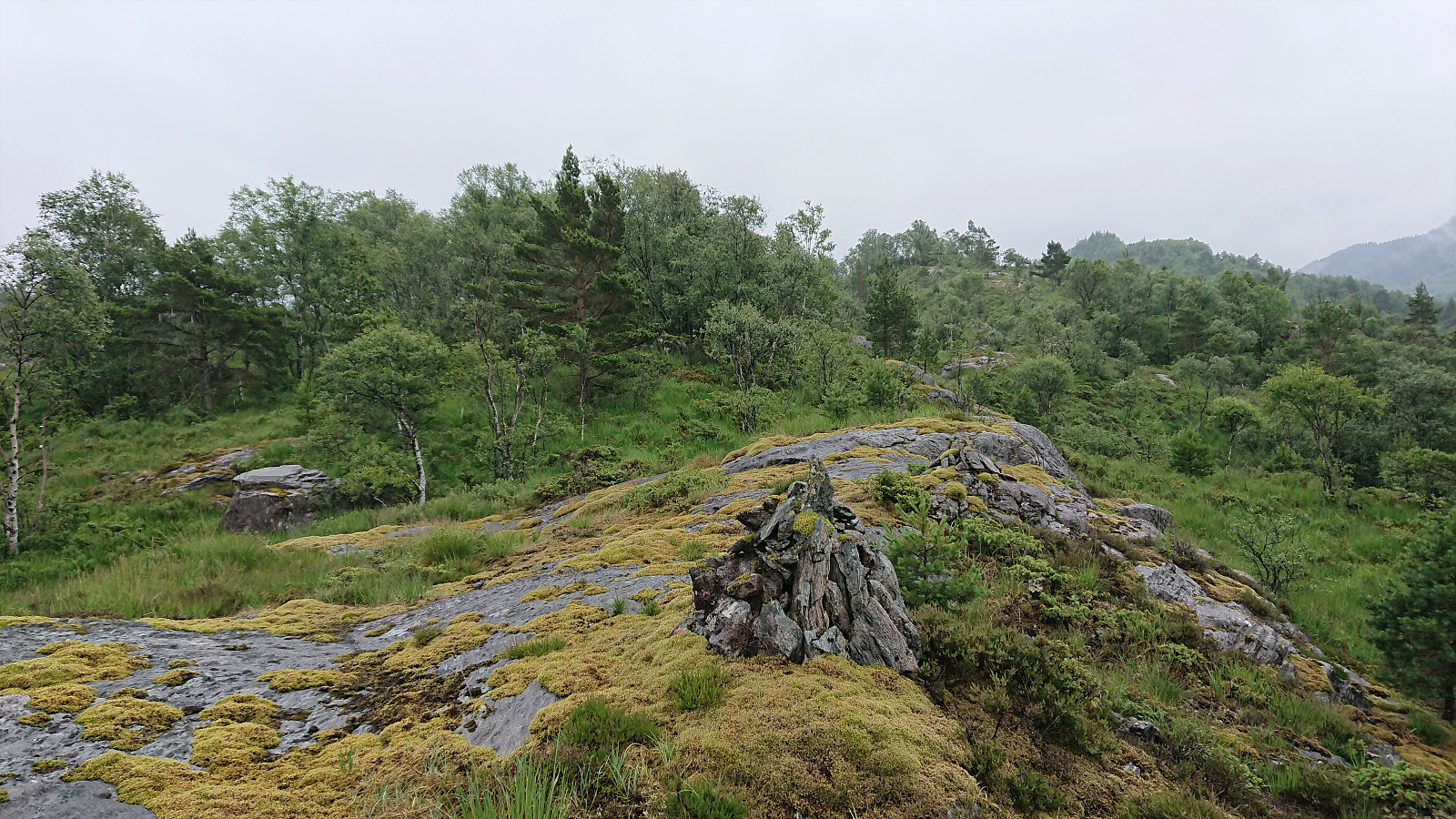
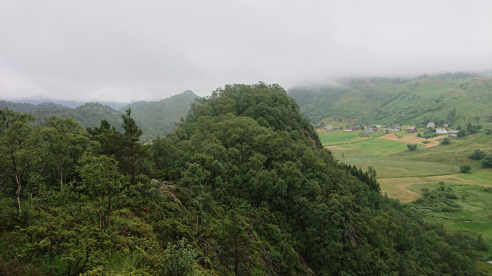
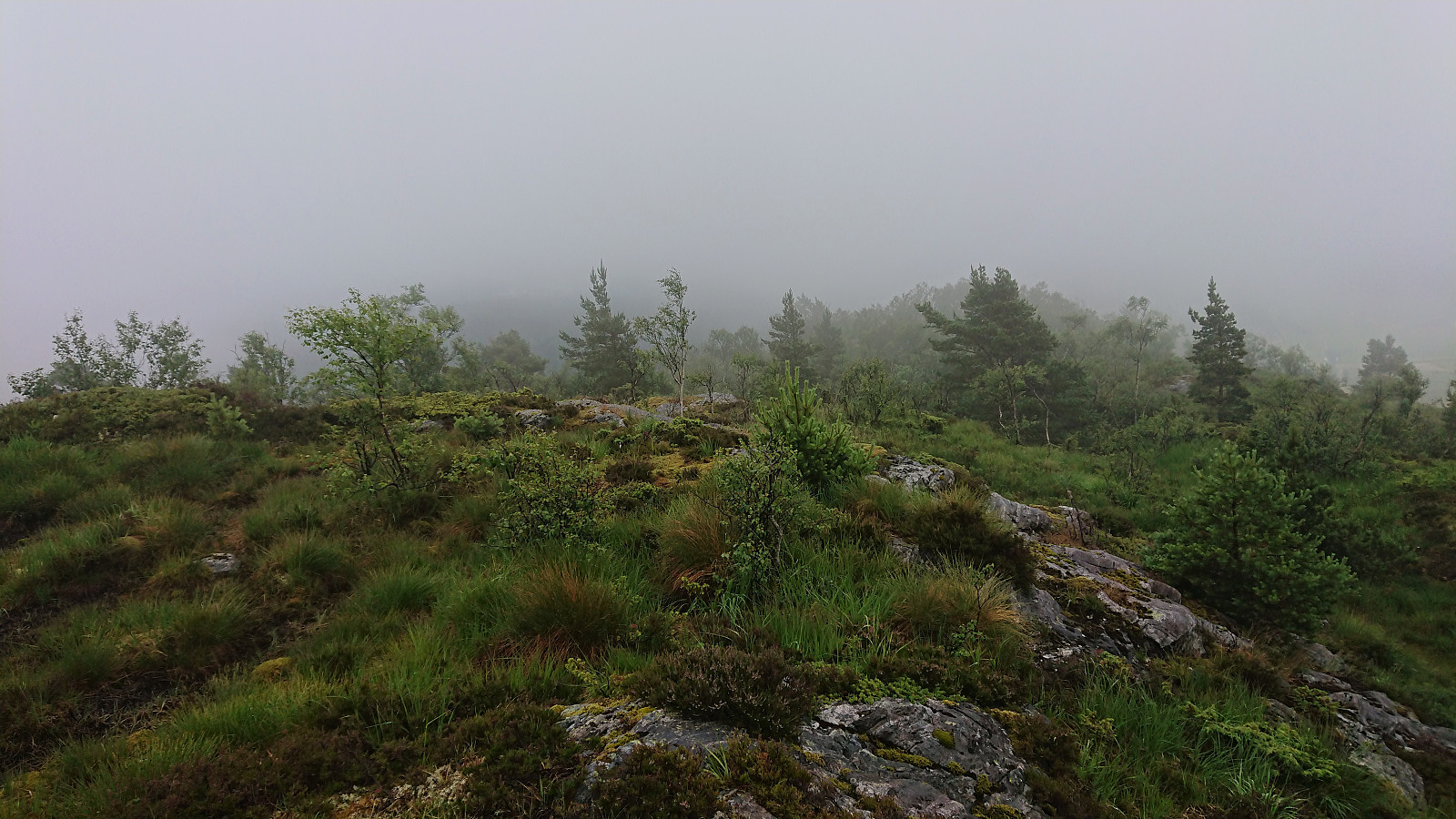
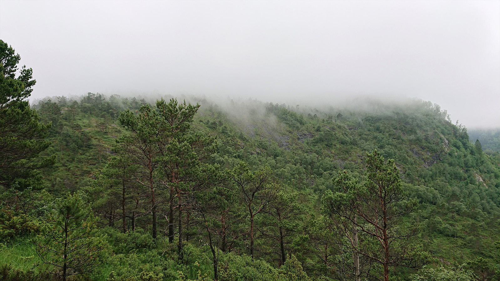
After a quick visit of the real Lydernipa, which clearly cannot compete with Ulvaberget in terms of views, I shortly returned to the main trail, before again heading off-trail, this time to the summit of Ullberget. No trails here that I could find, but there were some deer tracks that made the ascent easier and the summit was reached without any issues. (Perhaps with the exception of a fallen down and partly hidden barbed wire fence, which I noticed and easily stepped over on the ascent, but of course completely forgot about on the descent and almost tripped...) Not the best of views from the summit, although the thickening fog probably did not help.
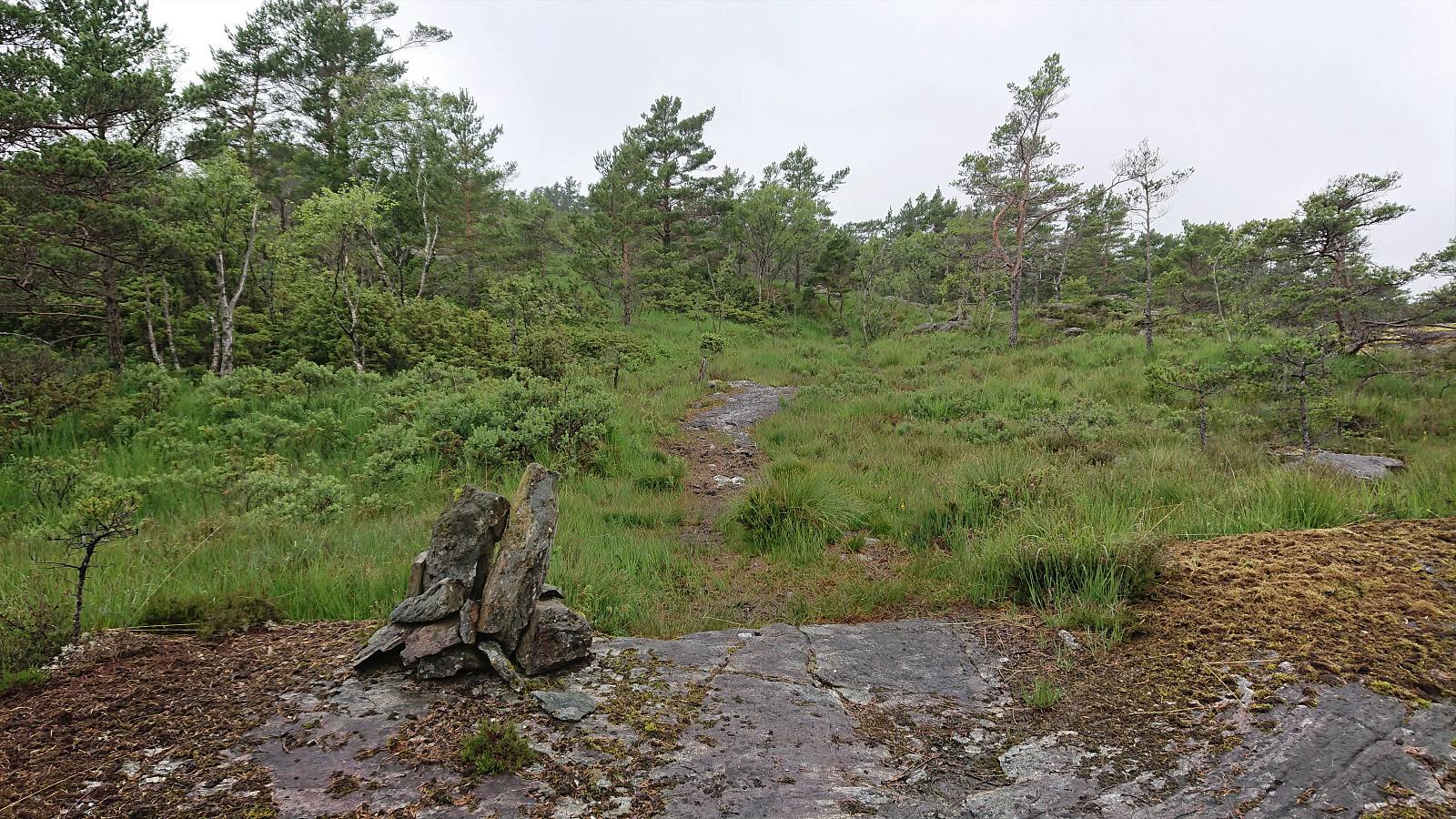
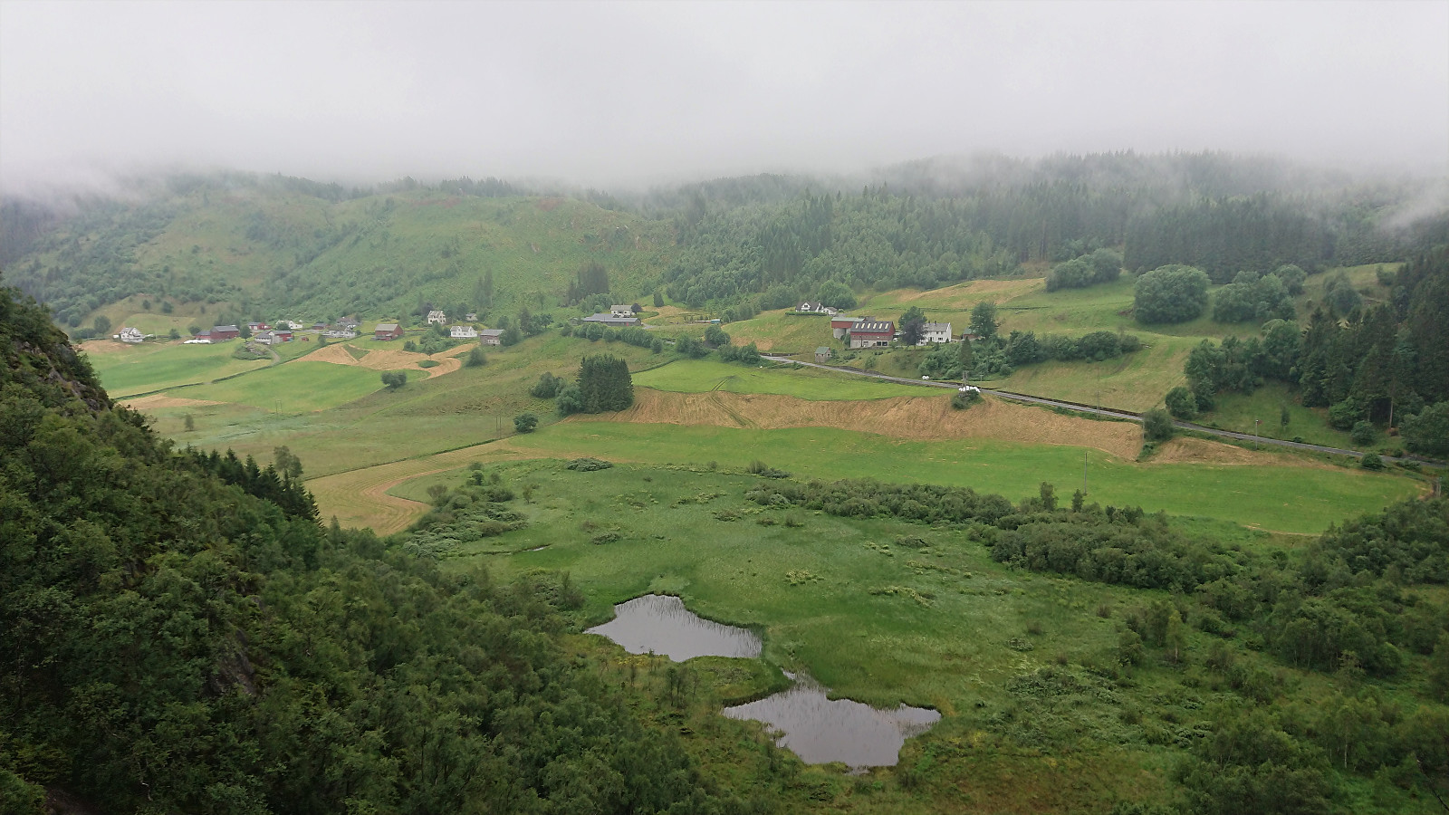
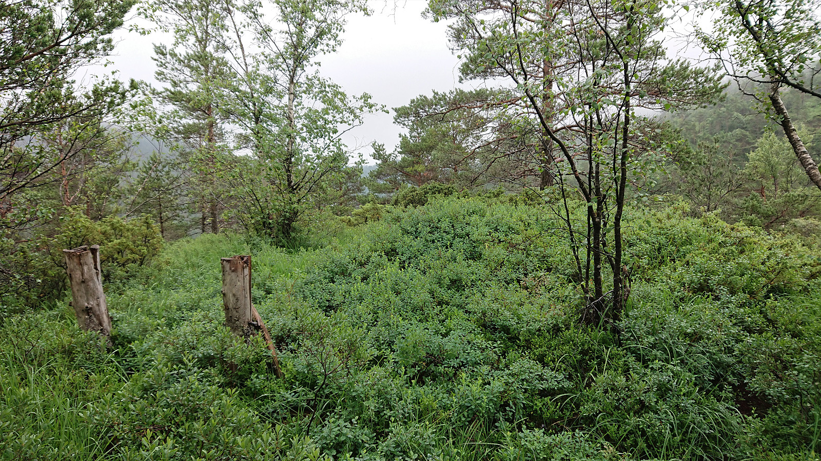
Back on the main trail, I followed it down to Stokkaleitet, from where I followed a trail to Beitelen. The trailhead was marked, but the trail itself was unmarked and partly hidden by the grass. It could however still be followed without much difficulty. When approaching the small hill south of Beitelen called Vardane, I spooked a deer that ran away too quickly for me to take a picture.
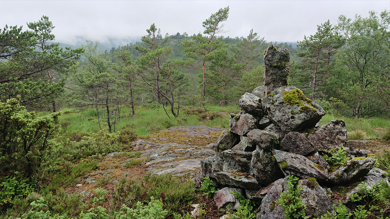
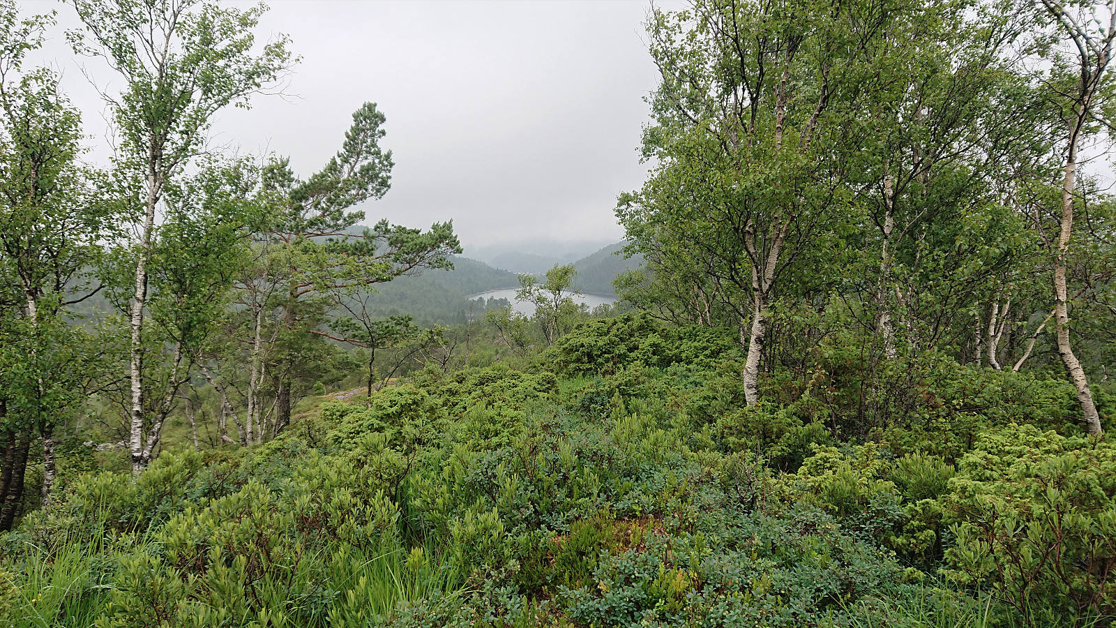
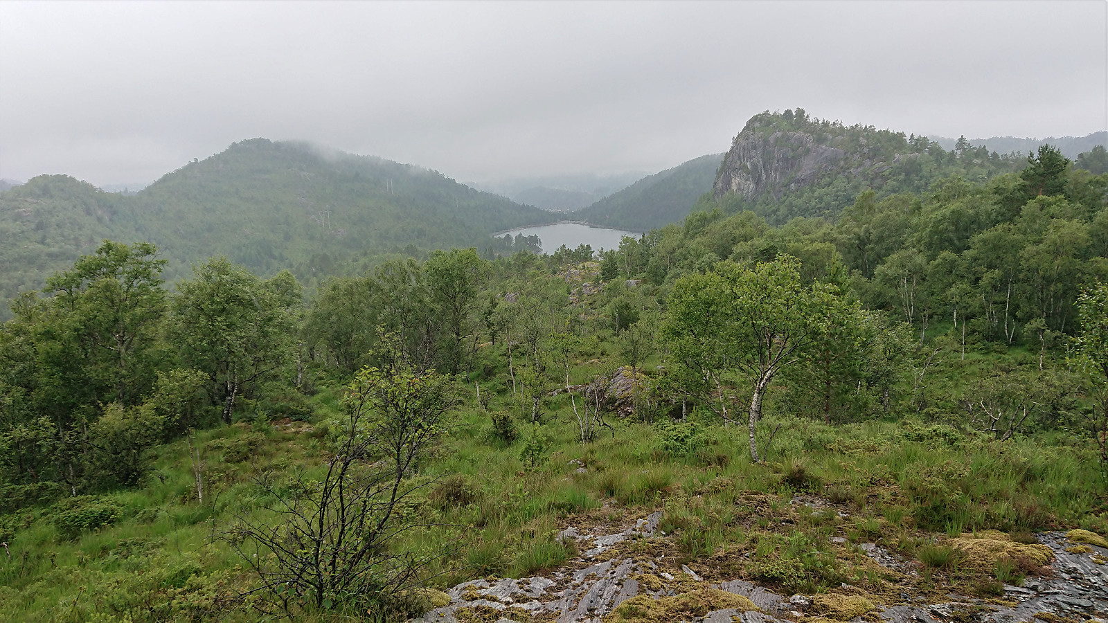
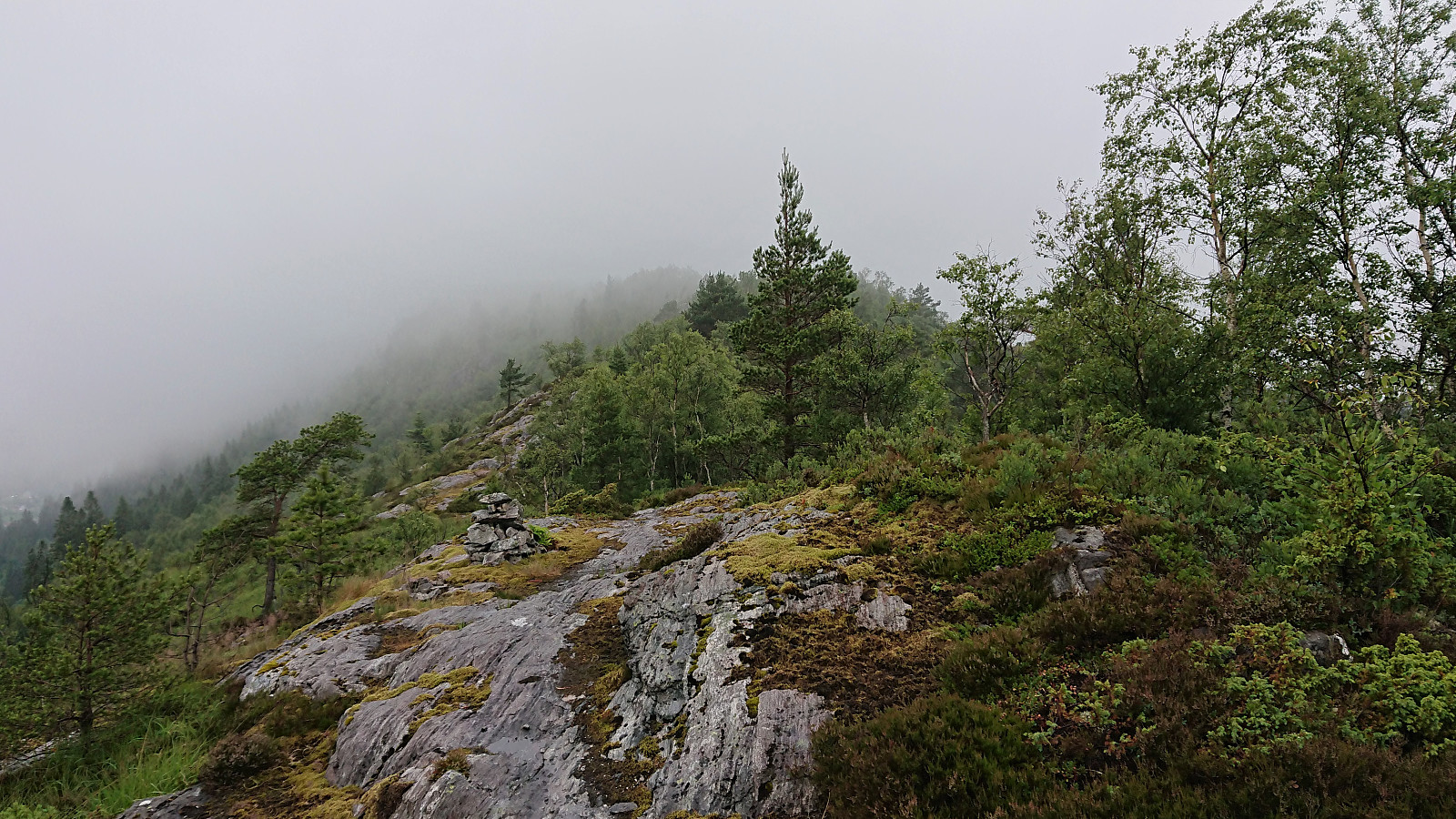
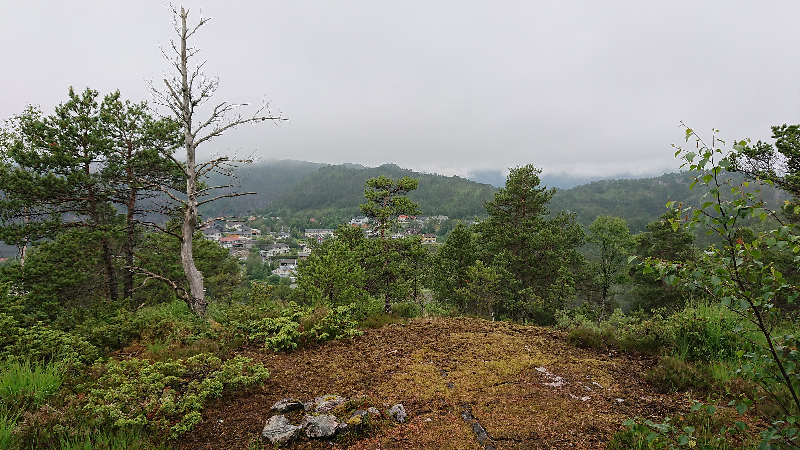
Limited views from the summit of Beitelen due to the fog. I therefore did not stay long before starting my descent. The plan was to head to the road for the bus home, but when I came across a trail seeming to head up towards the small hill north of Beitelen called Ådneskarhaugen, I could not resist including it in my hike as well. The trail took me all the way to the summit, which provided ok views to the west. Note that the trail also forked south of the summit, hence it is probably also possible to ascend Beitelen via this trail.
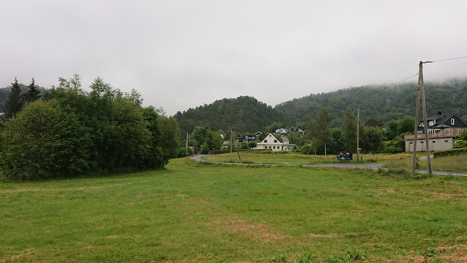
Returning to the main trail, I then continued to Gaupåsvatnet and onwards to the main road for the bus home, thus concluding a nice but wet hike.

| Starttidspunkt | 03.07.2021 13:45 (UTC+01:00 ST) |
| Sluttidspunkt | 03.07.2021 17:01 (UTC+01:00 ST) |
| Totaltid | 3t 15min |
| Bevegelsestid | 3t 01min |
| Pausetid | 0t 13min |
| Snittfart totalt | 3,0km/t |
| Snittfart bevegelsestid | 3,3km/t |
| Distanse | 9,9km |
| Høydemeter | 527m |


Kommentarer