
Såtene and Rundemanen (30.06.2021)

Written by hbar (Harald Barsnes)

| Start point | Årstadveien (57m) |
|---|---|
| Endpoint | Skutevikstorget (2m) |
| Characteristic | Hillwalk |
| Duration | 3h 08min |
| Distance | 13.1km |
| Vertical meters | 756m |
| GPS |
|
| Ascents | Rundemanen (568m) | 30.06.2021 |
|---|---|---|
| Såtene (512m) | 30.06.2021 | |
| Visits of other PBEs | Brushytten (412m) | 30.06.2021 |
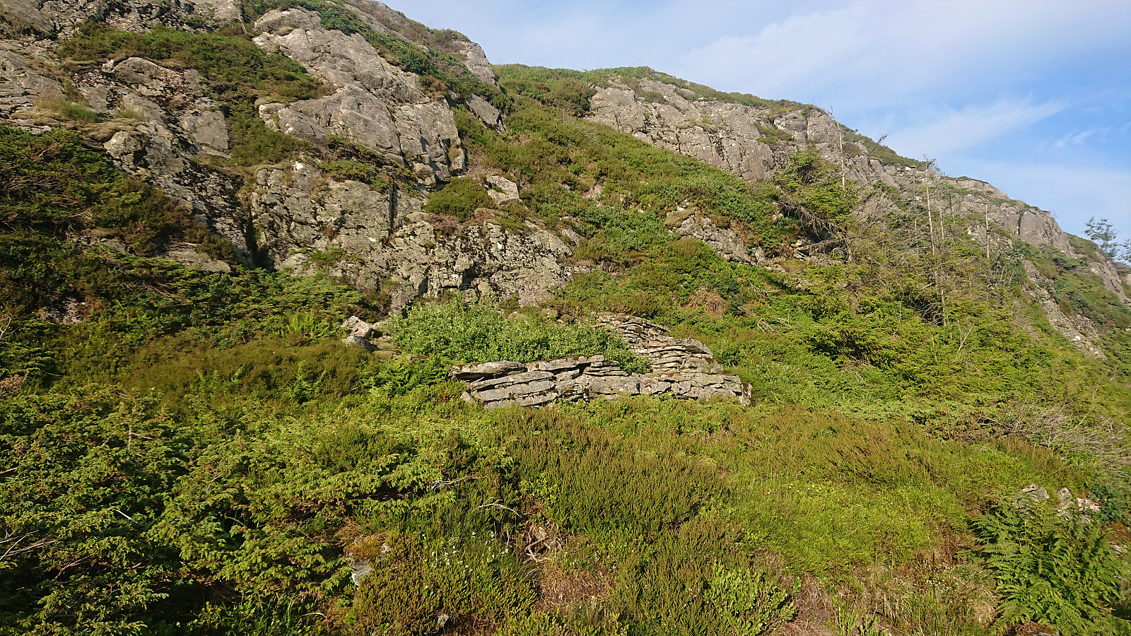
| Ladehytten (ruin) (528m) | 30.06.2021 | |
| Lundekvam (tuft) (495m) | 30.06.2021 | |
| Nødkjelke, Rundemanen (533m) | 30.06.2021 | |
| Skreddersteinen (169m) | 30.06.2021 | |
| Solhaugen søyle (107m) | 30.06.2021 | |
| Steinhus i Tarlebøveien (176m) | 30.06.2021 | |
| Tarlebødemningen (365m) | 30.06.2021 |
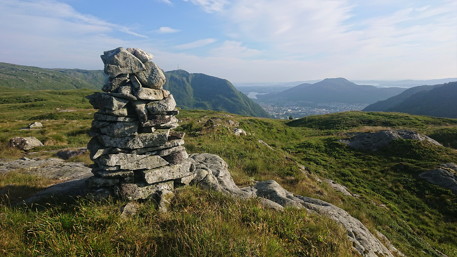
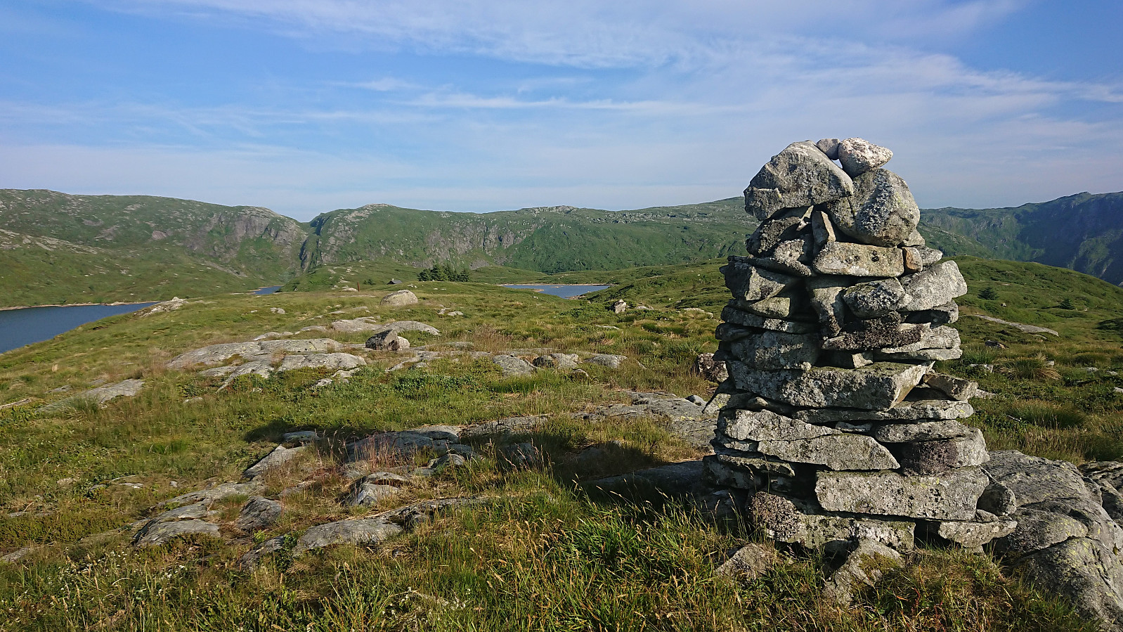
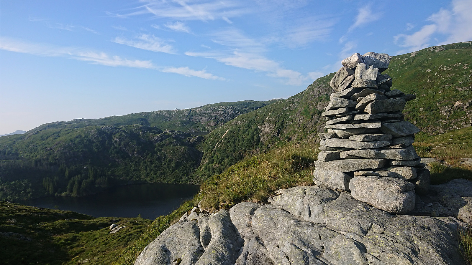
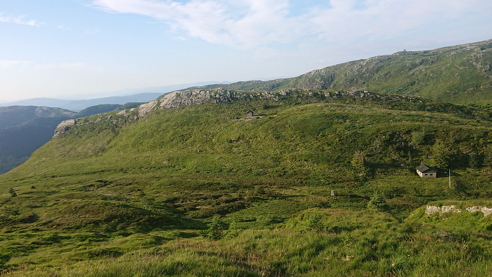
Såtene and Rundemanen
Evening hike with the main objective of visiting Såtene. I also included a quick visit of Rundemanen and the ruin of Ladehytte that Kjell51 (Kjell Øijorden) recently discovered at the northern end of Lille Tindevatnet.
| Start date | 30.06.2021 18:26 (UTC+01:00 DST) |
| End date | 30.06.2021 21:35 (UTC+01:00 DST) |
| Total Time | 3h 08min |
| Moving Time | 3h 02min |
| Stopped Time | 0h 6min |
| Overall Average | 4.2km/h |
| Moving Average | 4.3km/h |
| Distance | 13.1km |
| Vertical meters | 755m |


User comments